RARE 1944 WWII D-Day 142nd Infantry Operation Dragoon FREJUS Invasion Assault Map


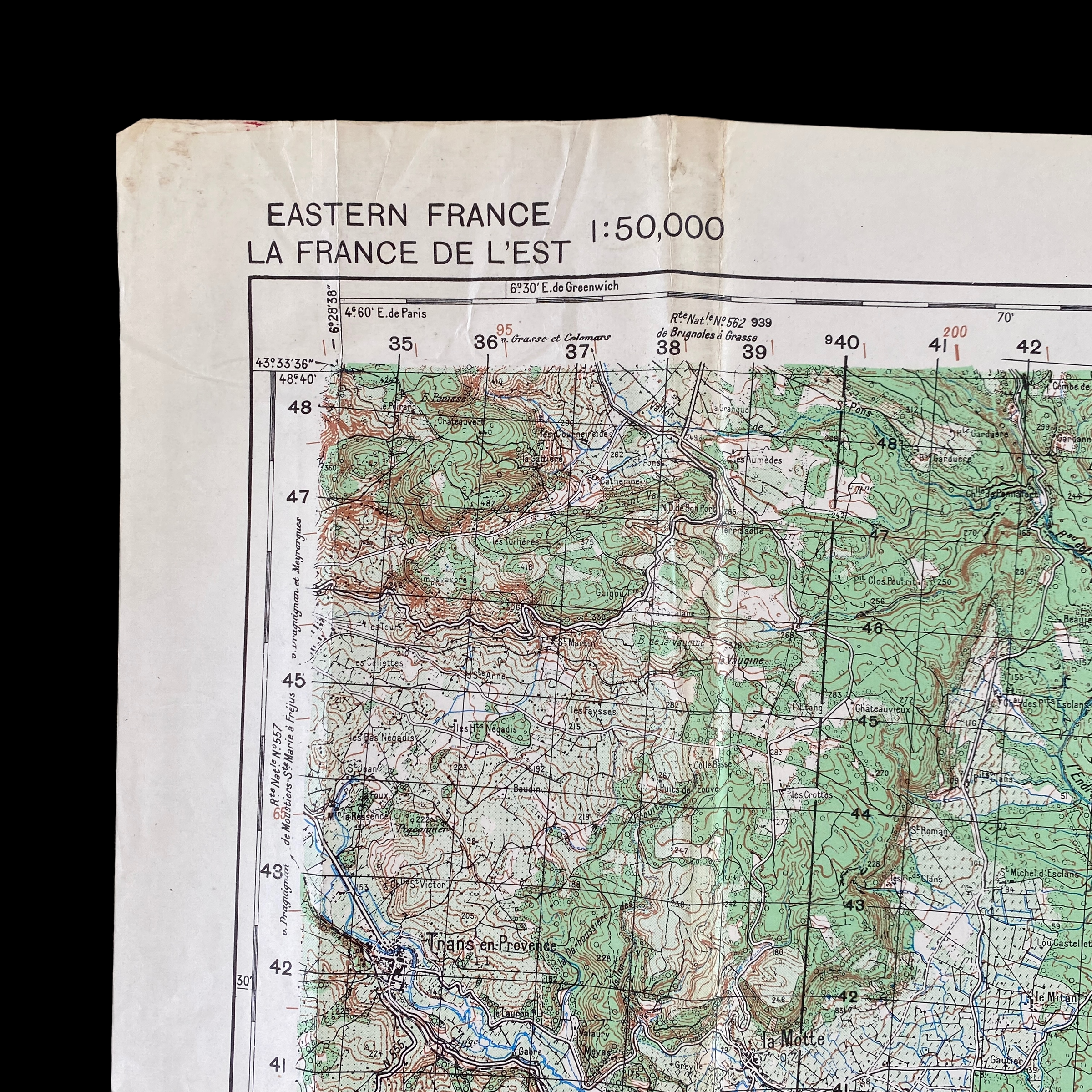
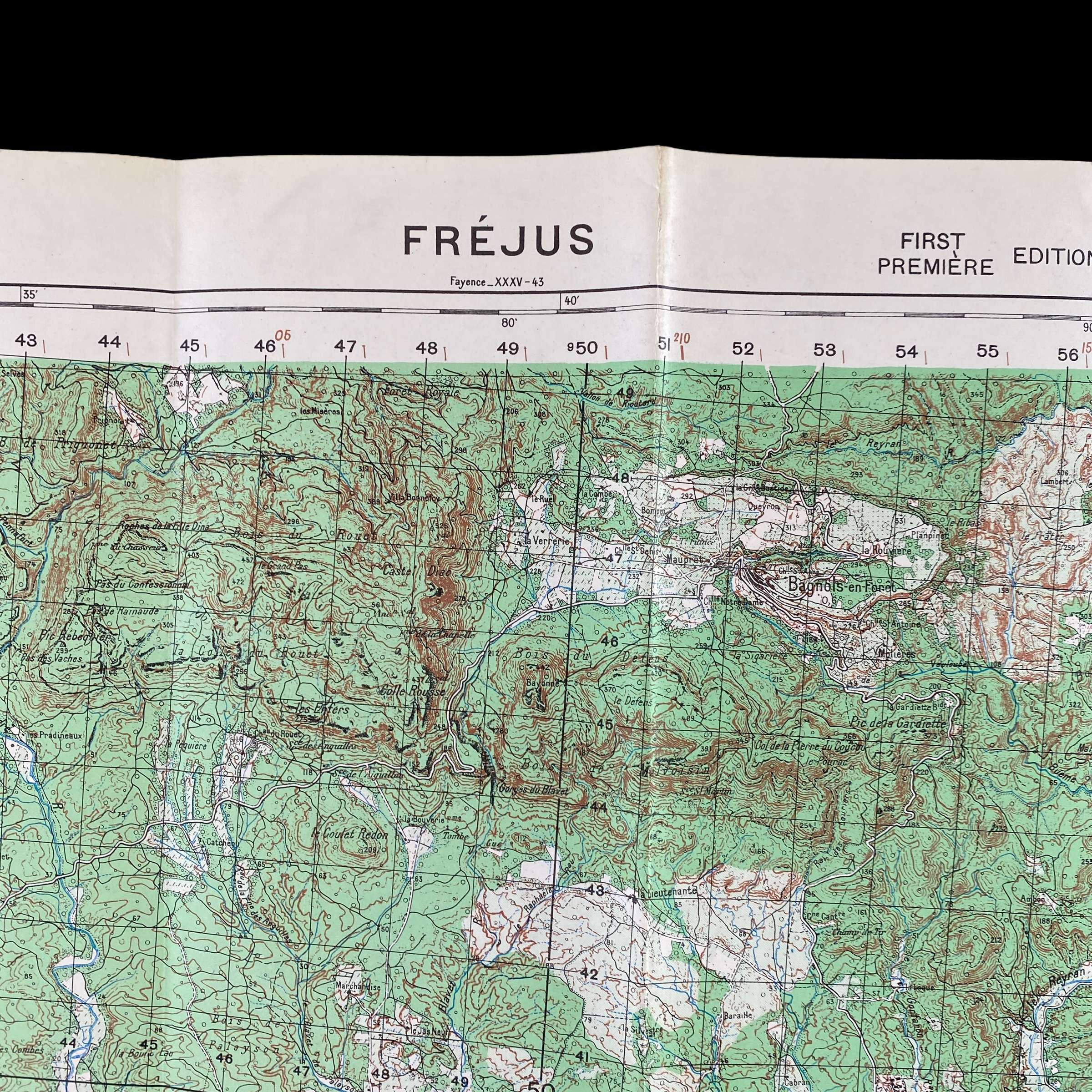

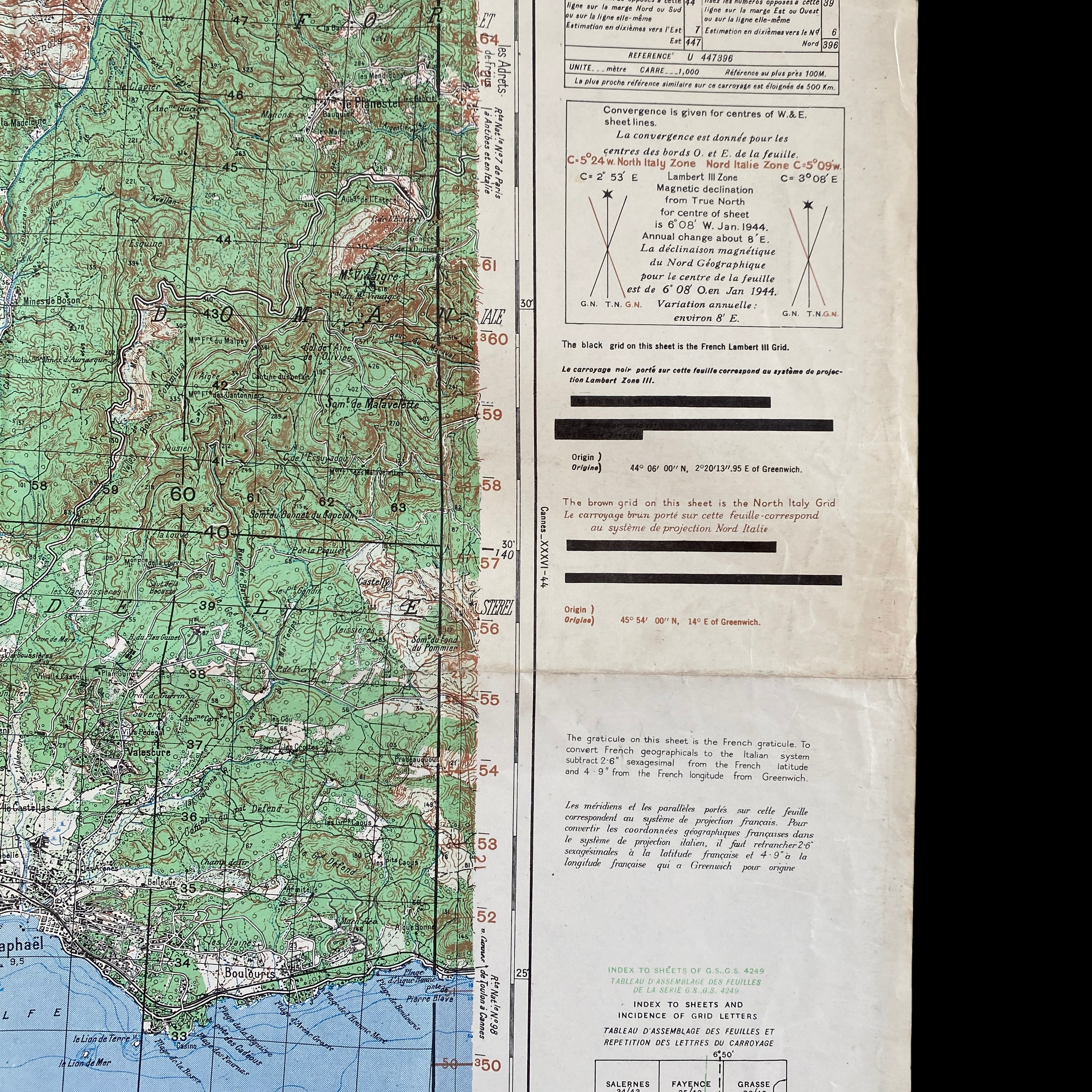
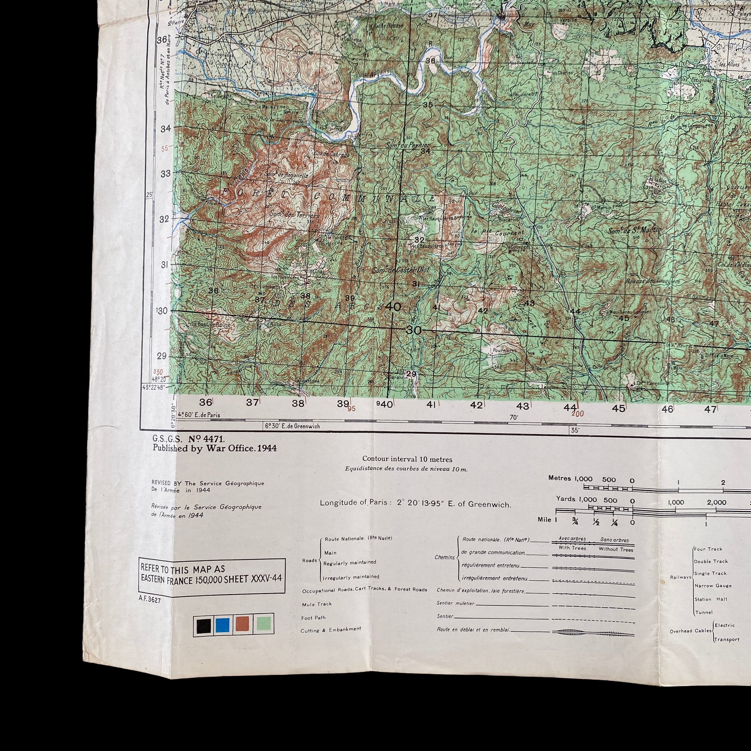



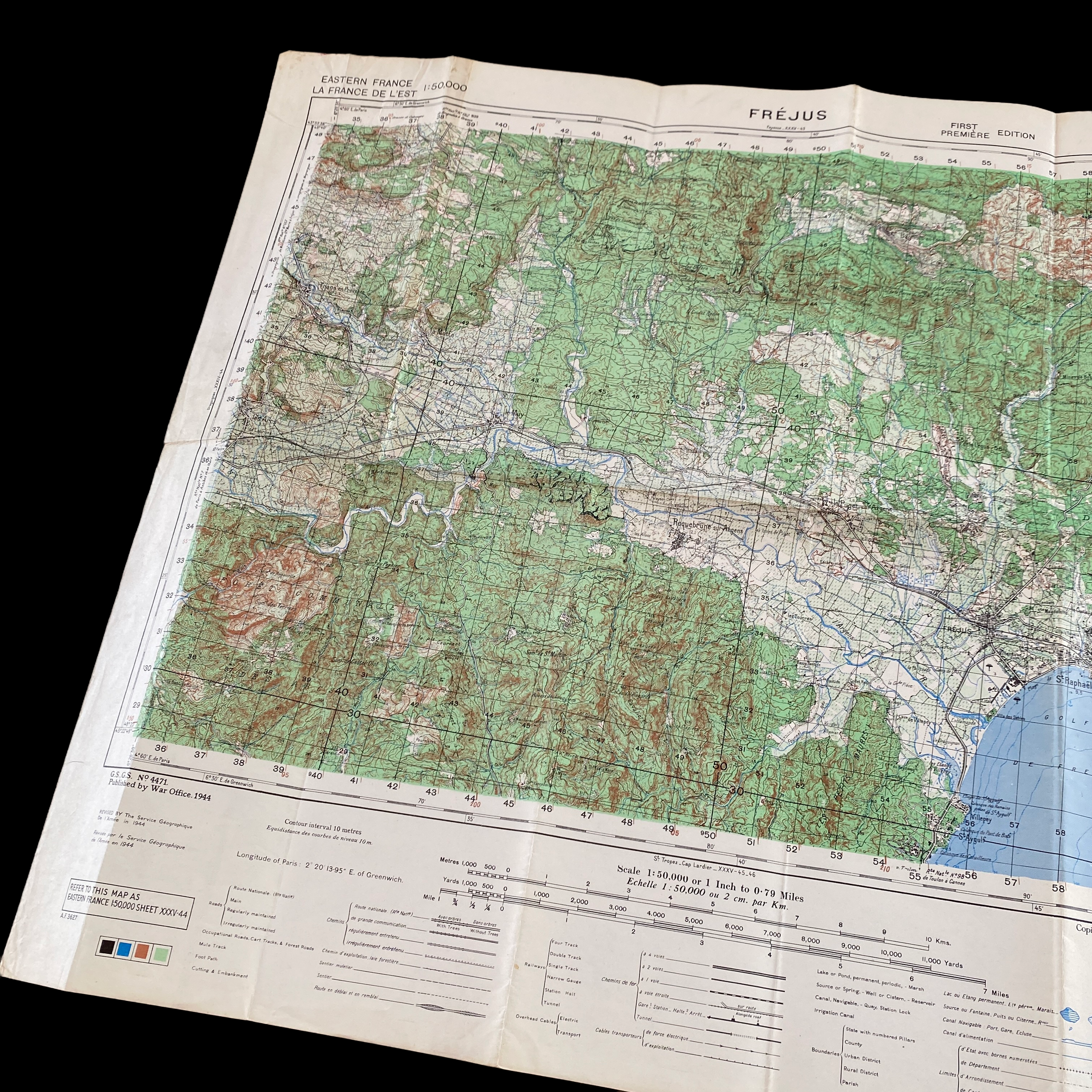


RARE 1944 WWII D-Day 142nd Infantry Operation Dragoon FREJUS Invasion Assault Map
Comes with C.O.A.
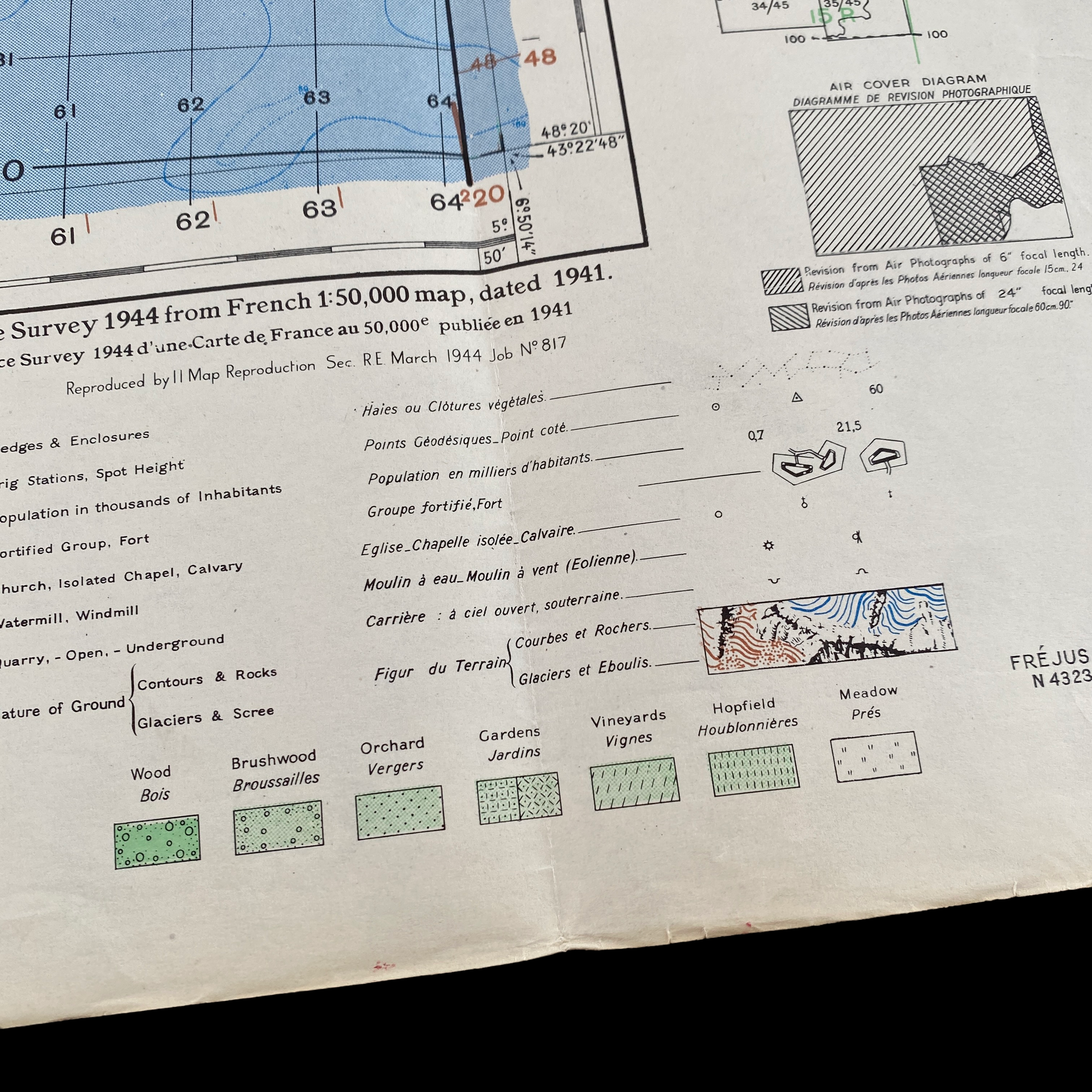
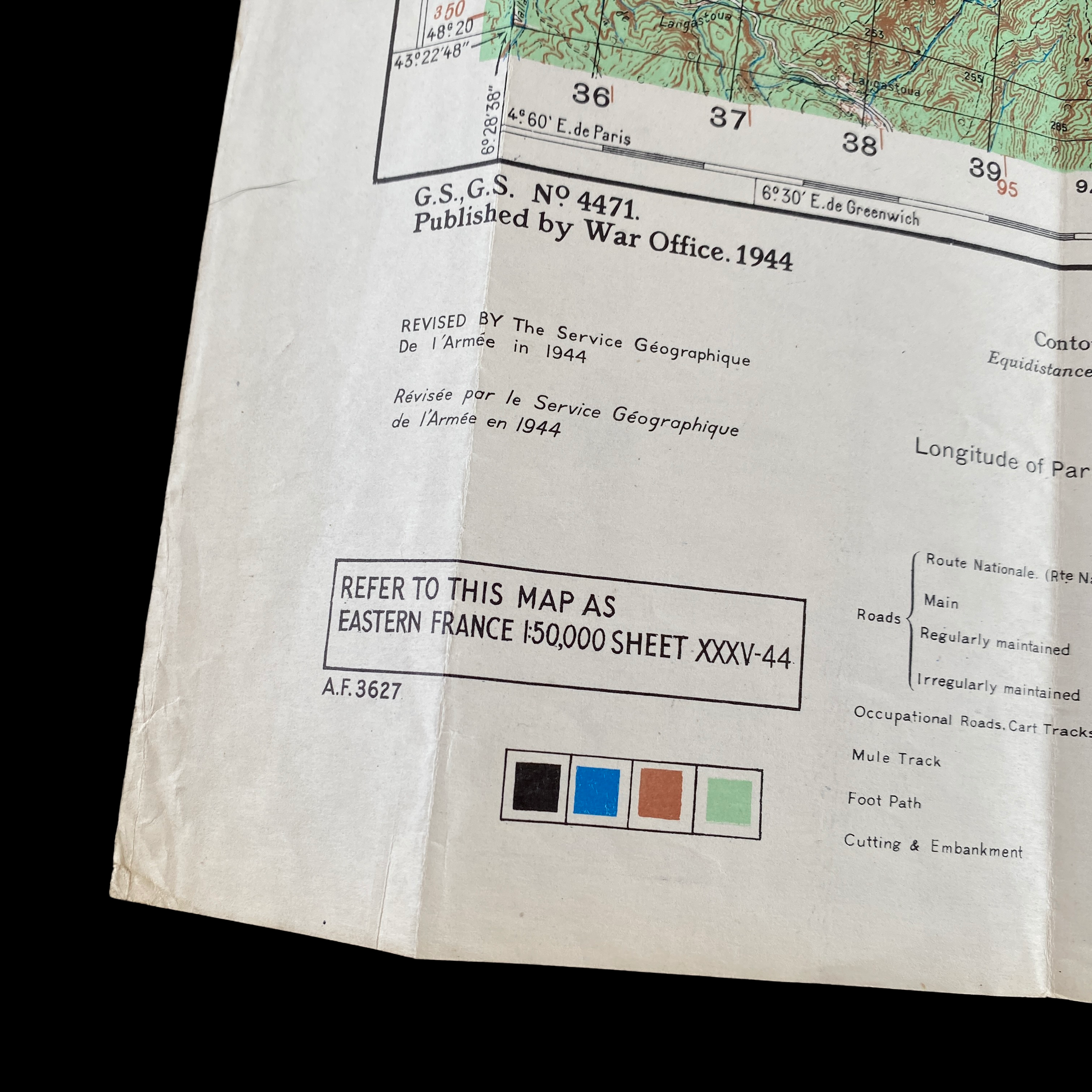
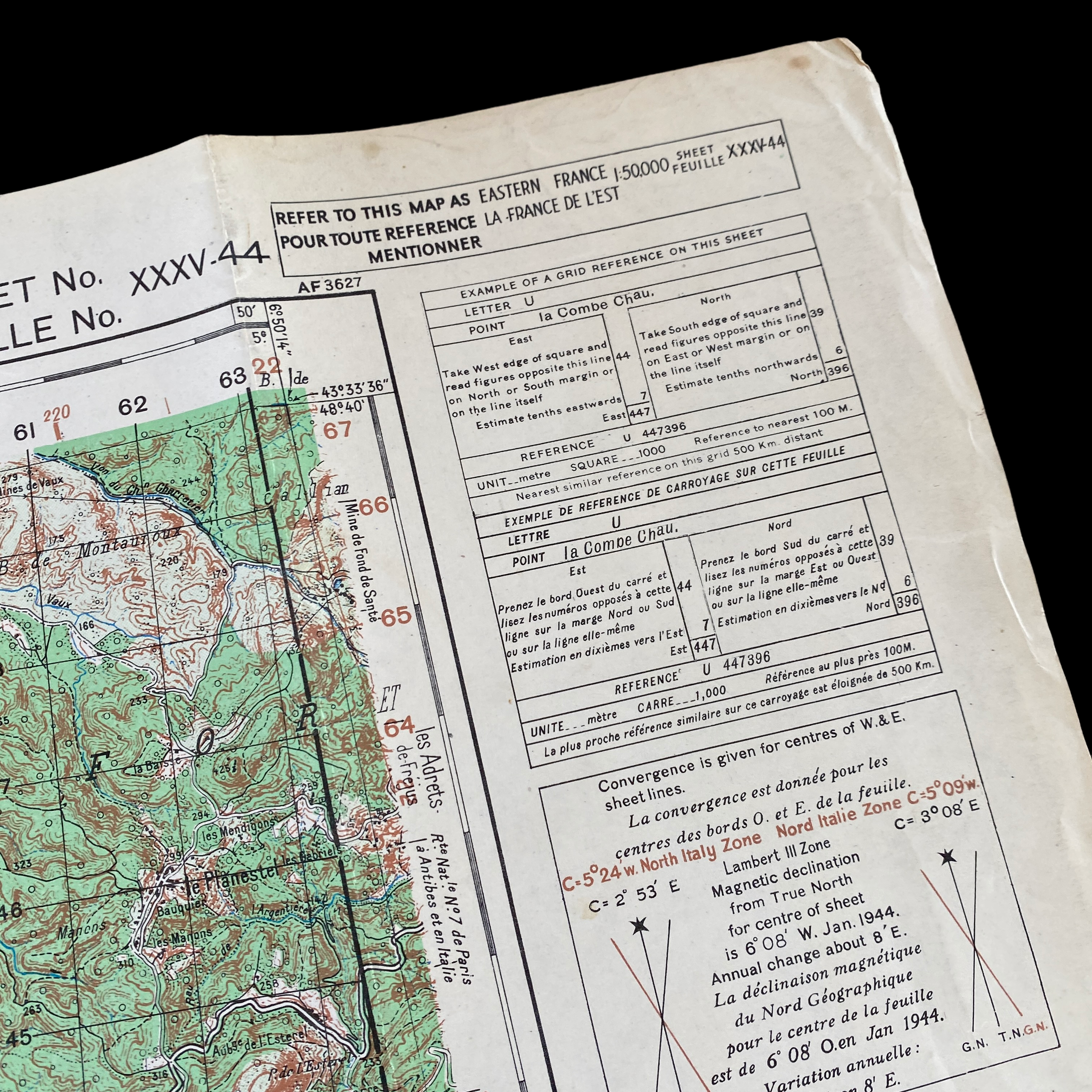
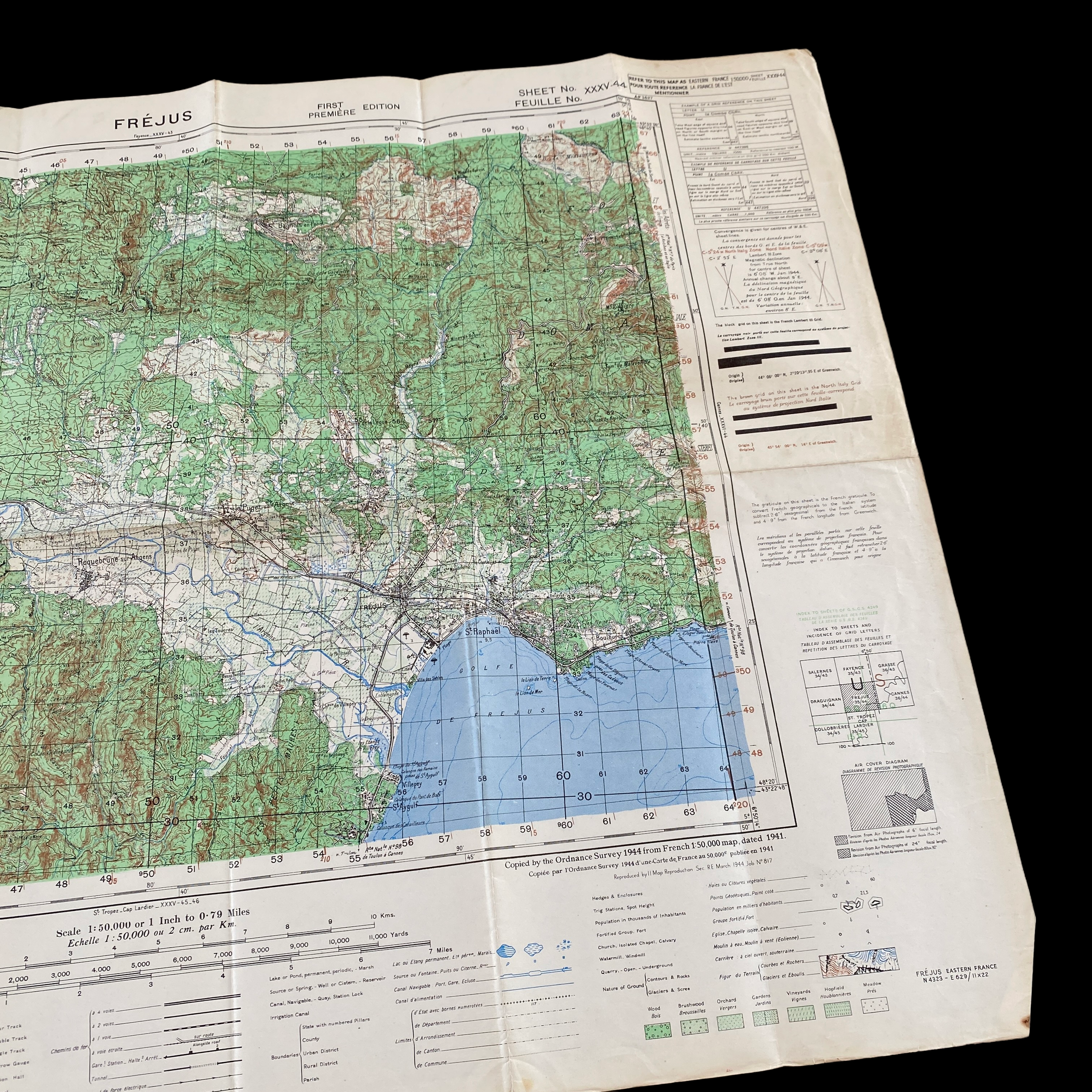
This extremely rare 1944 WWII D-Day amphibious invasion assault map was carried and used during the infamous D-Day amphibious landings of Operation Dragoon and the D-Day amphibious beach landing on FREJUS (CAMEL RED BEACH) and ST. RAPHAEL (CAMEL GREEN BEACH) .
The original plans for the 1944 Allied invasion of Europe called for two massive invasions of France. The first, Operation Overlord, in Normandy, was the D-Day so familiar to the world. The second would be an “anvil” on which the Overlord “hammer” would resound, in the south of France, trapping the German war machine between the two massive invasions.
This map was used as the primary D-Day assault map of the 142nd infantry whose primary objective was capturing the town of Fréjus from the southeast by nightfall on D-Day. Landing over Camel Green and proceeding inland over the high ground, the 142nd attacked Fréjus from the northeast and captured the town at 1355 hours, 16 August.
This map is an extremely rare first edition print and was issued in small batches just before the initial invasion for the amphibious landing troops that were to go ashore near Frejus, France. This map played a vital role in the capture of the Axis-occupied town during the D-Day landings.
Full history of the D-Day landings on Camel Beach and the assault of Frejus:
The landing beaches on the right flank of the Dragoon assault area, code-named Camel, were the target of Major General John Dahlquist and the veteran 36th Infantry Division. The division’s zone of responsibility stretched from the east bank of the Argens River, including the important road junction and town of Fréjus, Puget-sur-Argens, and Le Muy to the mountainous region of the Esterel Forest some eight miles away to the east. This coastal area included the open, sandy, but heavily fortified Camel Red Beach at the mouth of the Argens River, just to the west of Frejus. Camel Green Beach lay to the east of St. Raphaël near Cap Drammont. The 36th Division planners considered Camel Green large enough only for initial operations, but too small for sizable follow-on forces. On the extreme eastern flank of the invasion coast, Camel Blue Beach, at Antheor Cove, was rather small and not well suited for major landing operations.
The 143rd Infantry Regiment landed over the beaches cleared by the 141st INF with the initial objectives of clearing the coast roads to the west and capturing the town of St. Raphaël. The regiment landed over Camel Green Beach in a column of battalions: 1st Battalion at 0945 hours, 2nd Battalion at 1005 hours, and 3rd Battalion at 1035 hours. The 1st Battalion seized the high ground north of the beach, and then moved west to attack St. Raphaël once the 3rd Battalion came ashore and moved into their positions on the high ground. The 2nd Battalion moved along the coast to attack the town from the east.
The 142nd Infantry Regiment planned to make a delayed assault at 1400 hours over Camel Red Beach. This was, quite possibly, the most difficult of all the Dragoon landings as this area southwest of Fréjus was quite heavily defended, and the Germans had clear lanes of fire over Fréjus Gulf and could easily target the approaching landing craft. At 1100 hours, minesweepers moved forward to sweep the Camel Red approach lanes, but as they neared the beach, heavy shelling forced them to retire. After a flight of 93 B-24 Liberator heavy bombers dropped 187 tons of bombs on the enemy defenders, the minesweepers started back in toward the beach. Again, under a heavy artillery barrage, they managed to clear the lanes to within 500 yards of the beach. Under the cover of fire from naval gunfire support ships, two demolitions teams with scout boats and 12 explosive drone boats were sent in. These also met with heavy enemy fire and withdrew.
While efforts to clear the beach continued, the 142nd INF, in more than 100 assault craft, waited for the signal to land. In the event that Camel Red proved too difficult to approach, planners prepared an alternative assault for the 142nd INF. The Commander of Naval Task Force 87, Rear Admiral Spencer S. Lewis, ordered that the alternate plan of landing the 142nd INF over Camel Green Beach behind the 143rd INF be put into effect immediately. The fleet turned to the east, and the entire regiment landed over Camel Green without loss.
The primary objective of the 142nd was capturing the town of Fréjus from the southeast by nightfall on D-Day. Obviously, the change in landing beach forced some operational changes as well. Landing over Camel Green and proceeding inland over the high ground, the 142nd attacked Fréjus from the northeast and captured the town at 1355 hours, 16 August.
St. Raphaël fell to the 143rd INF on the morning of 16 August, and the 141st INF captured Theoule-sur-Mer late in the afternoon on the same day. The 142nd INF continued west toward Puget, the 143rd moved north into the high ground toward the N-7, and the 141st INF consolidated its positions from the N-7 from the flank of the 143rd east to Theoule-sur-Mer. By the morning of 17 August, the “Texas” Division reached the Blue Line. The division then prepared for movement toward the northwest.
France’s Second D-Day: Operation Dragoon and the Invasion of Southern France:
Often overshadowed by the Normandy Landings, the U.S. Seventh Army’s amphibious invasion of southern France on August 15, 1944 and the ensuing operations were nonetheless critical to the Allied victory in the European theater of World War II. Following six weeks of aerial bombardment, the infantry, armor, airborne, and commando forces of Maj. Gen. Lucian Truscott’s VI Corps assaulted German positions along a 45-mile stretch of French coastline from St. Raphaël to St. Tropez. Preceded by the commandos of the 1st Special Service Force and the paratroopers of the 1st Airborne Task Force, the assault battalions of the 3rd, 36th and 45th infantry divisions landed on the French Riviera. The American forces secured the beachhead and pushed inland, dislodging the defenders of the German 19th Army. Within 48 hours, American units penetrated 20 miles in some sectors. The VI Corps then turned west toward the Rhône River valley. Meanwhile, the French Armée B came ashore over the landing beaches. The Free French forces, under the command of Gen. Jean de Lattre de Tassigny, had the primary objective of the campaign – to capture the ports of Toulon and Marseille. Together, these French and American units formed the Seventh Army under the command of Lt. Gen. Alexander M. Patch.The combined Franco-American force continued its assault toward Marseille and the Rhône River, forcing the German Nineteenth Army into a fighting withdrawal. As the French prepared their attack on Marseille, the Americans turned north up the Rhône Valley. One hundred miles north of Marseille, the town of Montélimar presented a major obstacle; the Germans prepared their defense as a bottleneck to slow down the rapid Allied advance. After a fierce struggle, the 36th Division forced the German units to withdraw, Montélimar fell, and the rout was on. The campaign became a race northward up the Rhône valley.By September 7, a combat patrol made contact with the French 2nd Armored Division operating west of Dijon. The French, in collaboration with Lt. Gen. George Patton’s U.S. Third Army, were advancing east toward the border with Germany. With the full link up of Allied armies completed by September 10, the Seventh Army turned northeast toward Strasbourg. The drive to the German frontier began, and Operation Dragoon ended. Over the course of the offensive, the Allies drove 400 miles into France in three weeks and liberated 10,000 square miles of French territory while inflicting 143,250 German casualties. Although launched with reluctant British participation, the campaign through southern France provided crucial support to the main Allied thrust against Germany, and remains one of the most successful–and often overlooked–operations of World War II.