RARE WWII Task Force D-Day Assault Map of African Coast Operation Torch


RARE WWII Task Force D-Day Assault Map of African Coast Operation Torch
Comes with COA
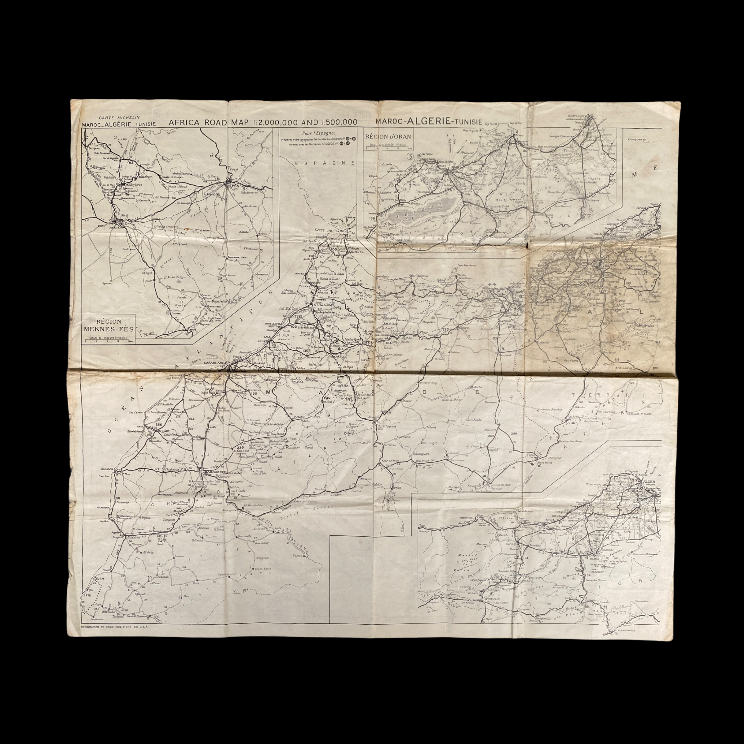
This extremely rare WWII D-Day assault map was carried during the infamous D-Day amphibious landings of Operation Torch. Operation Torch was the Allied invasion of North Africa in November 1942 was intended to draw Axis forces away from the Eastern Front, thus relieving pressure on the hard-pressed Soviet Union. The operation was a compromise between U.S. and British planners as the latter felt that the American-advocated landing in northern Europe was premature and would lead to disaster at this stage of the war.
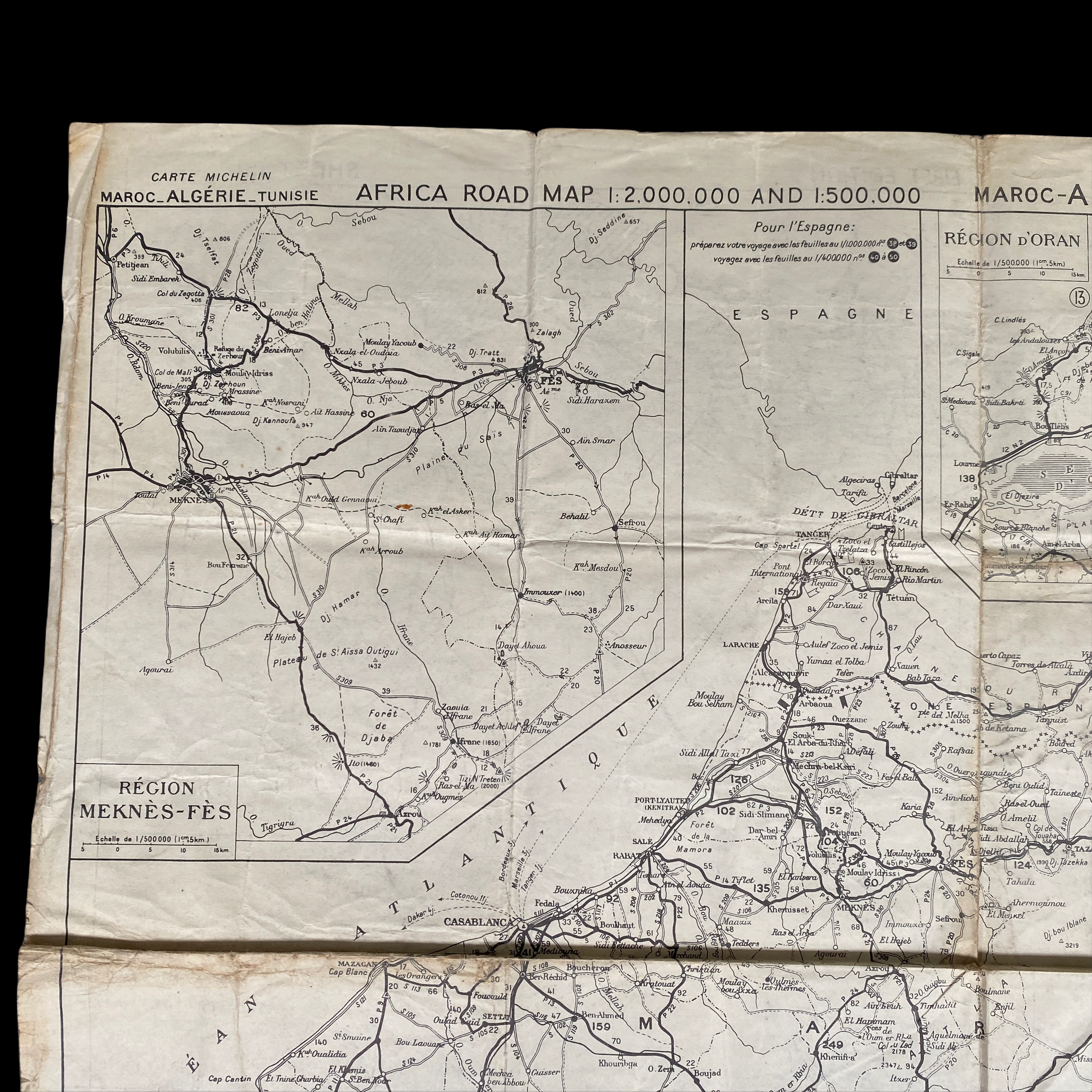
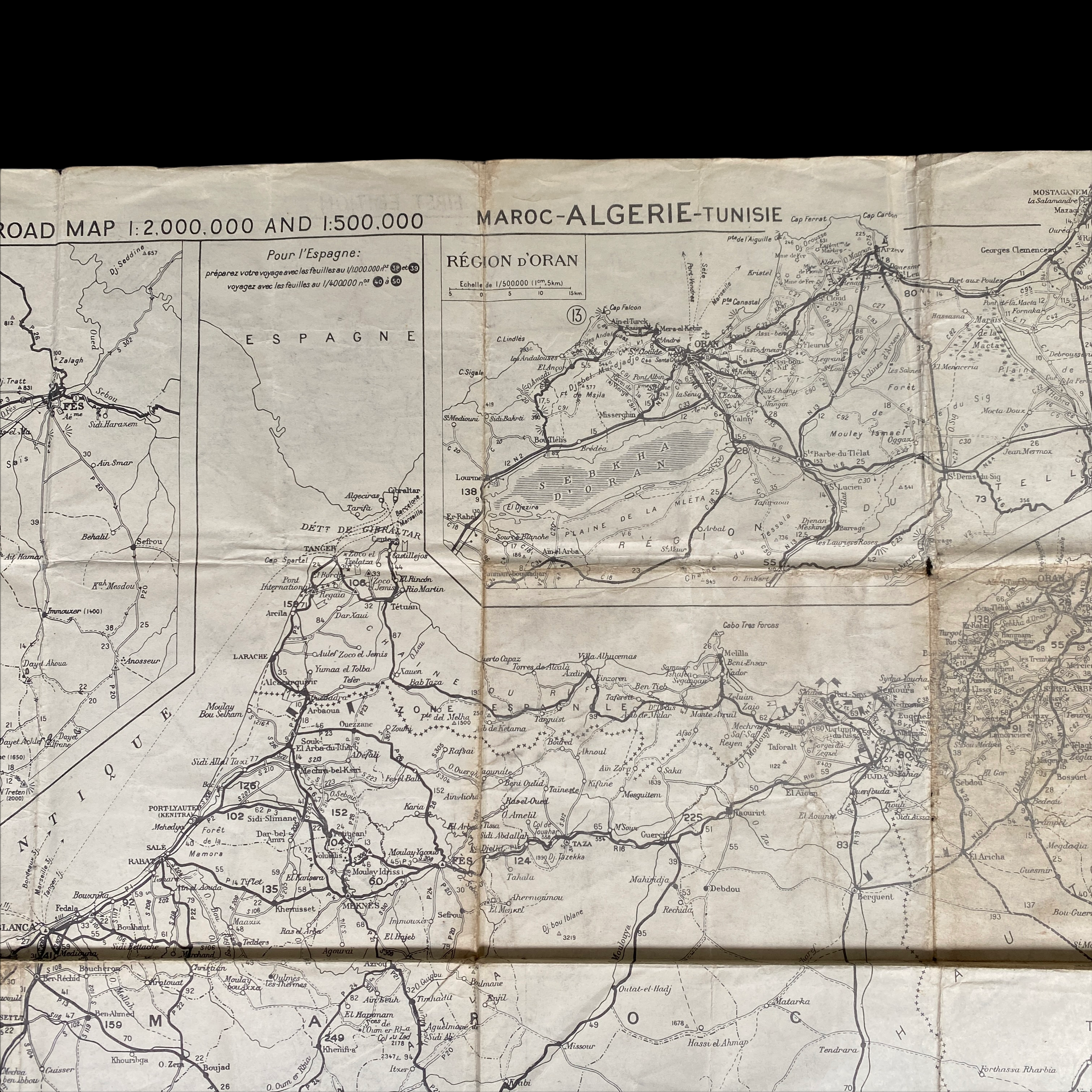
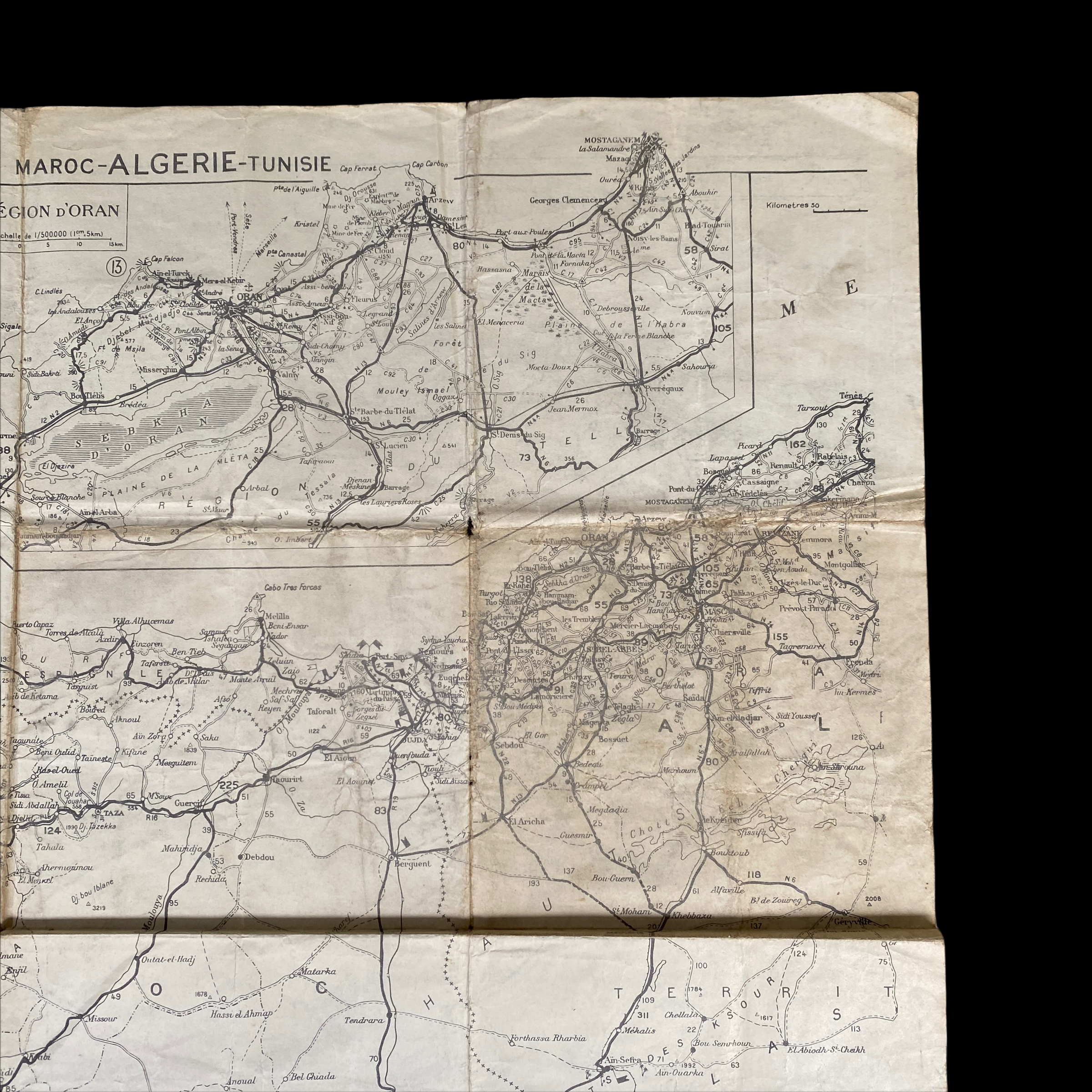
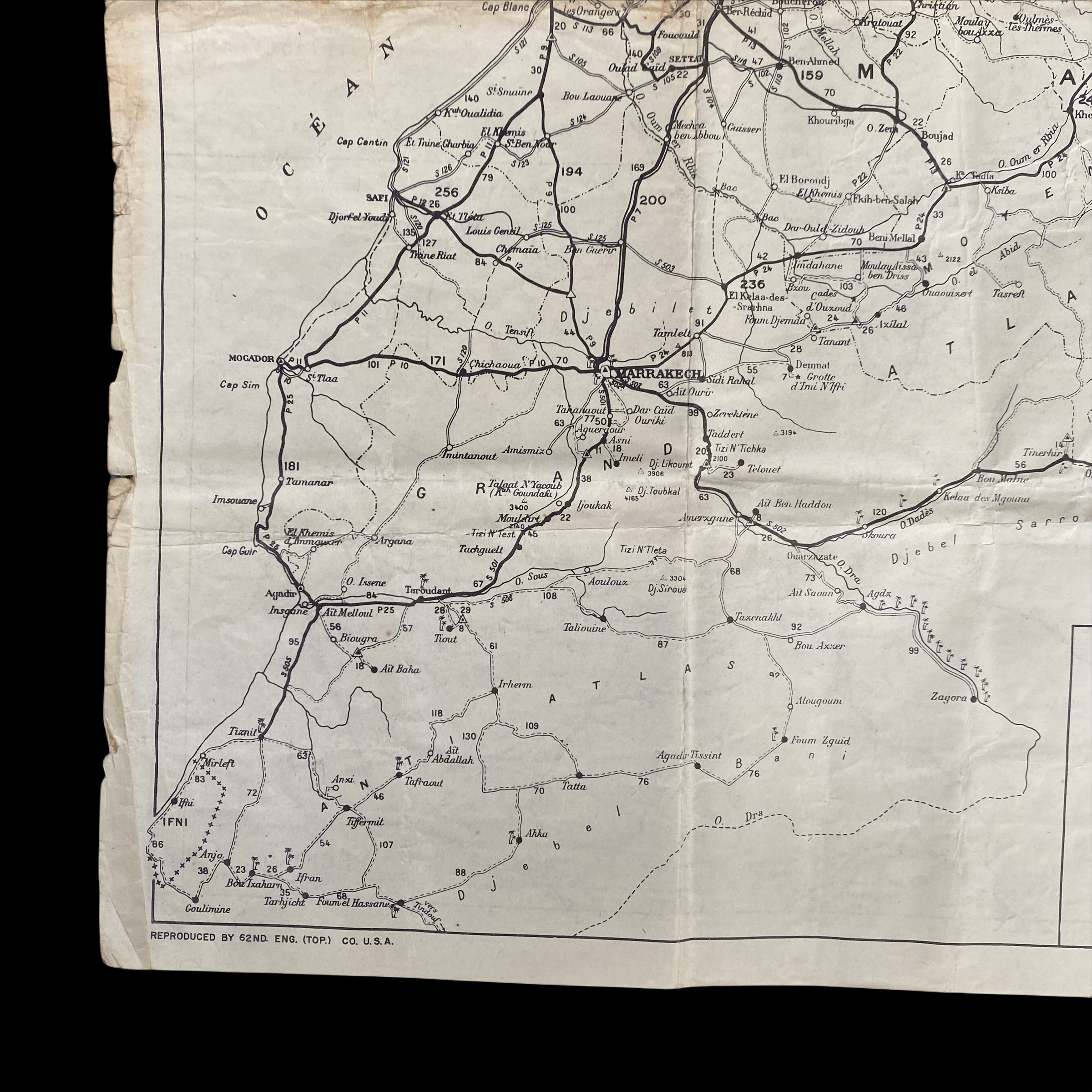
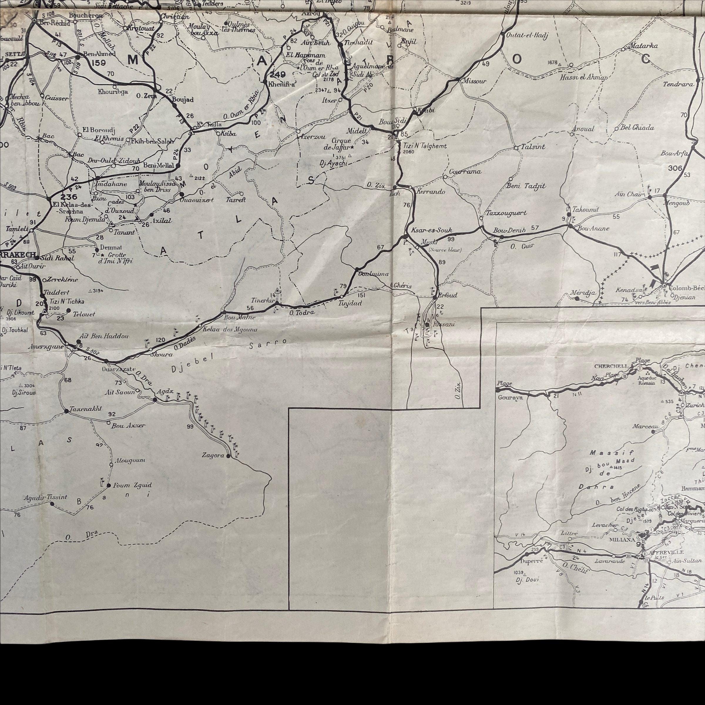
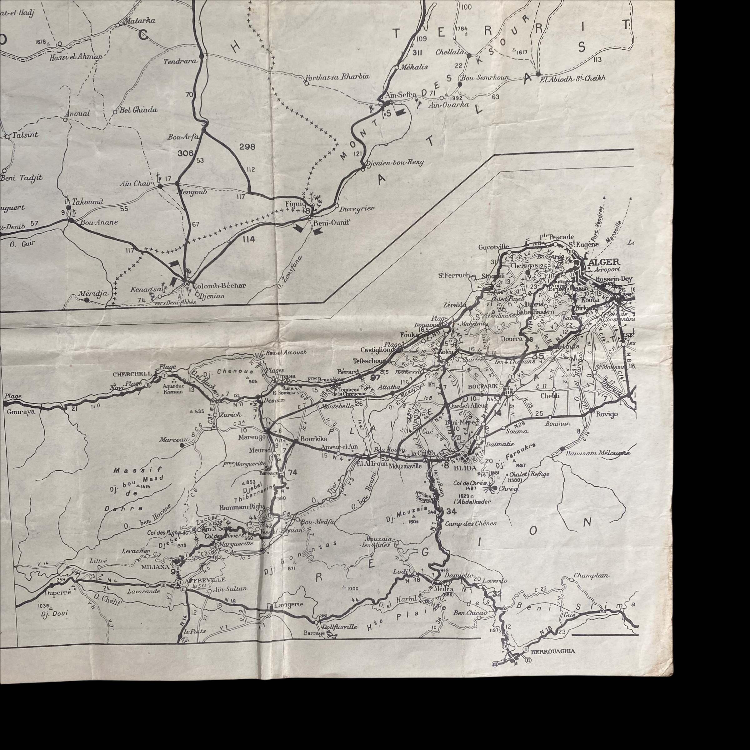
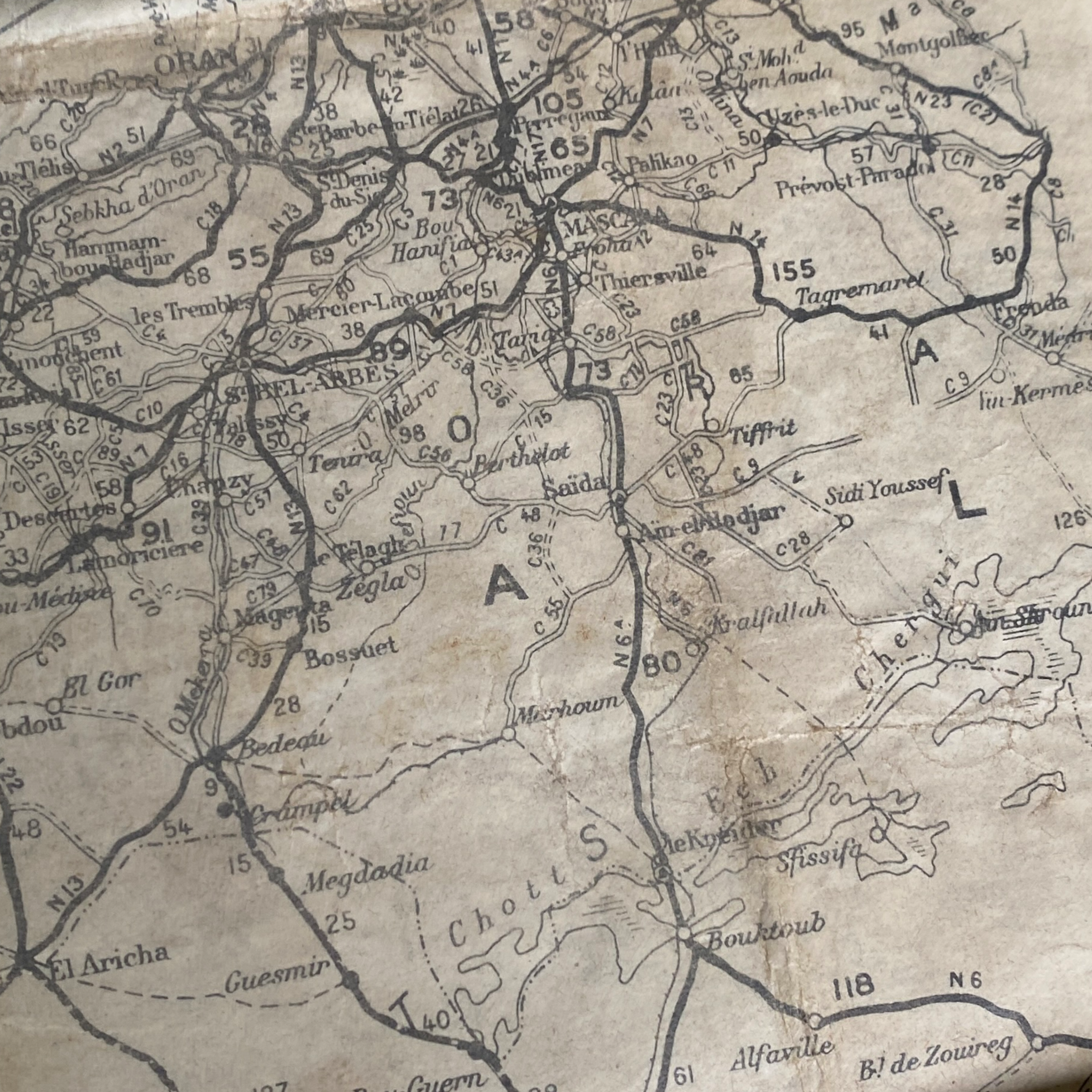
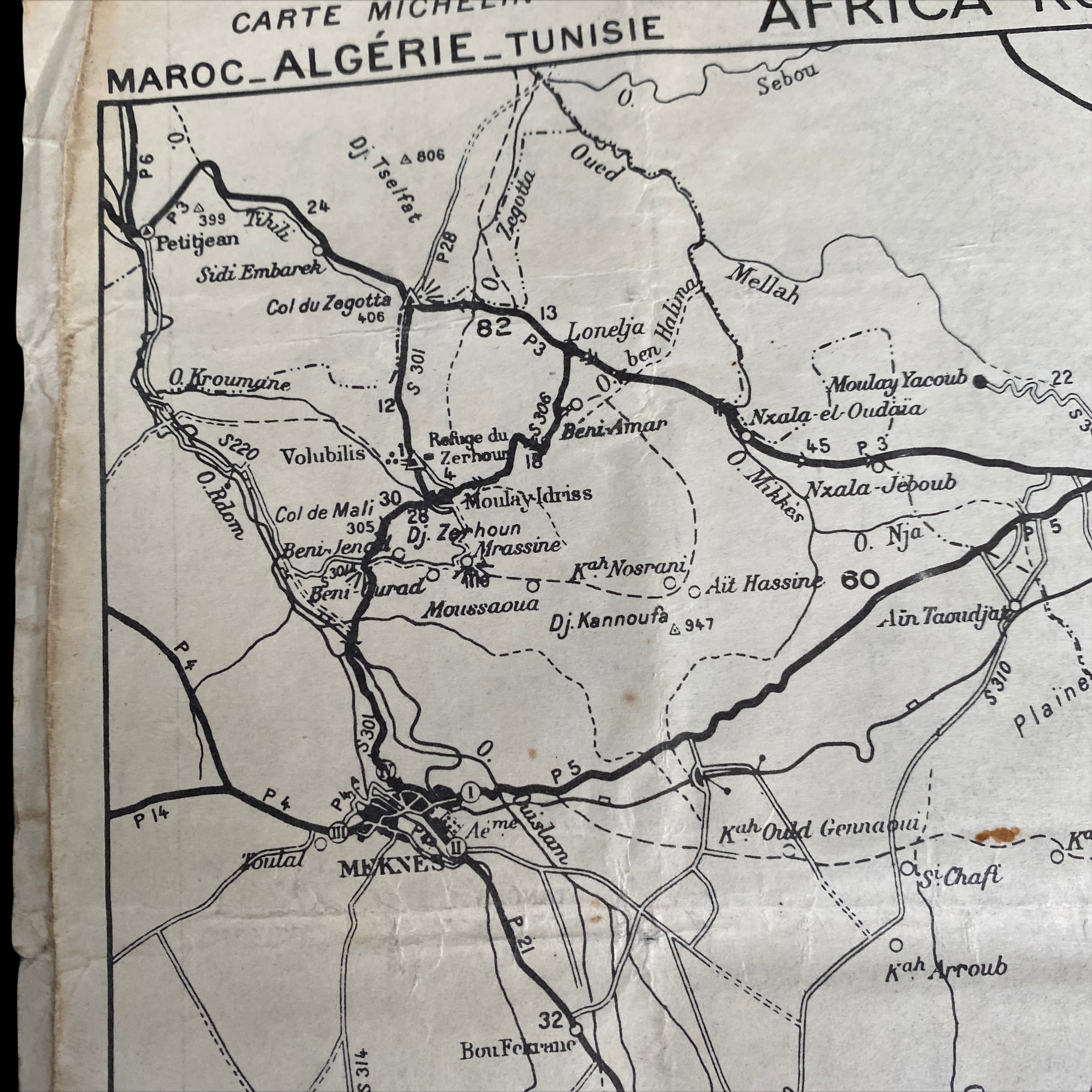
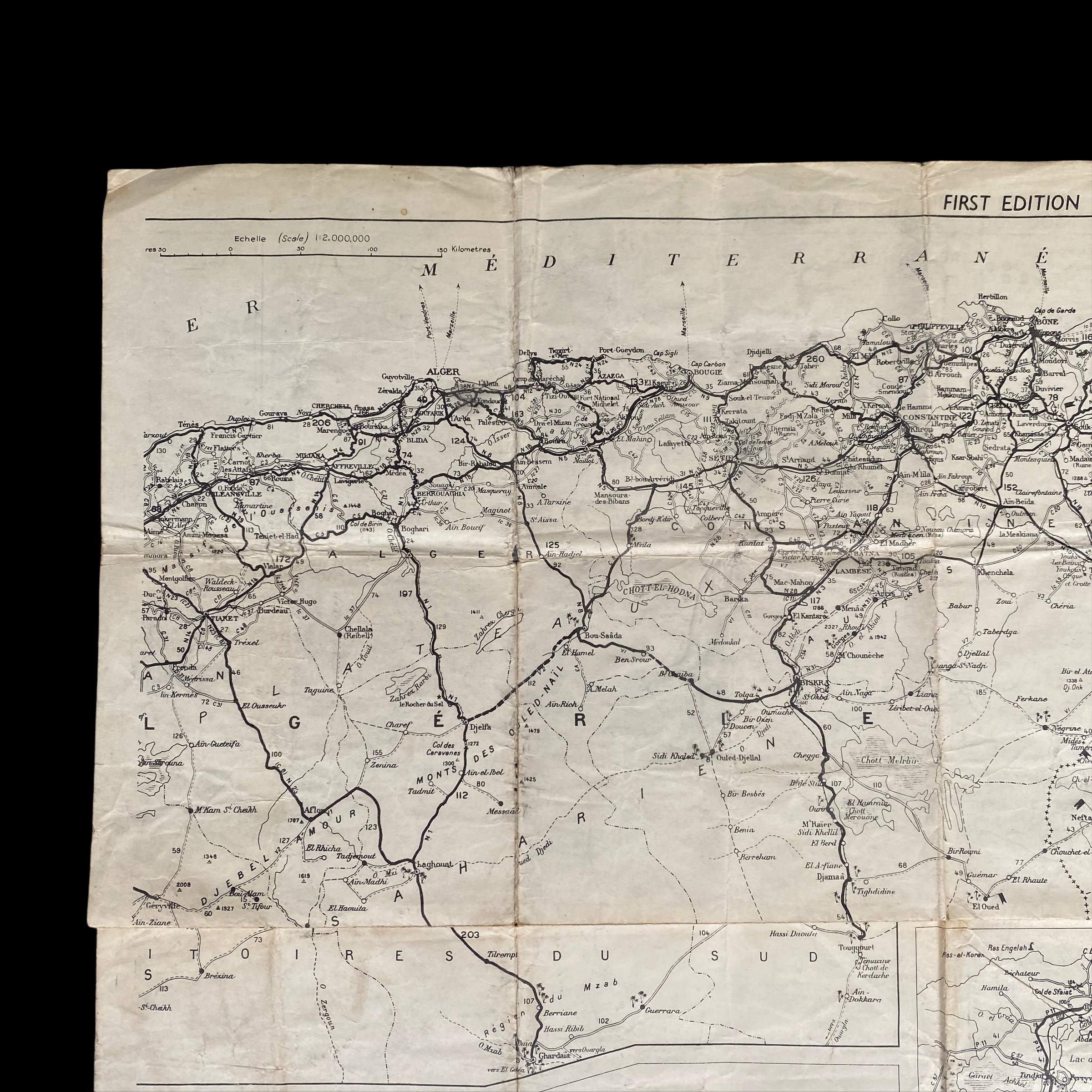
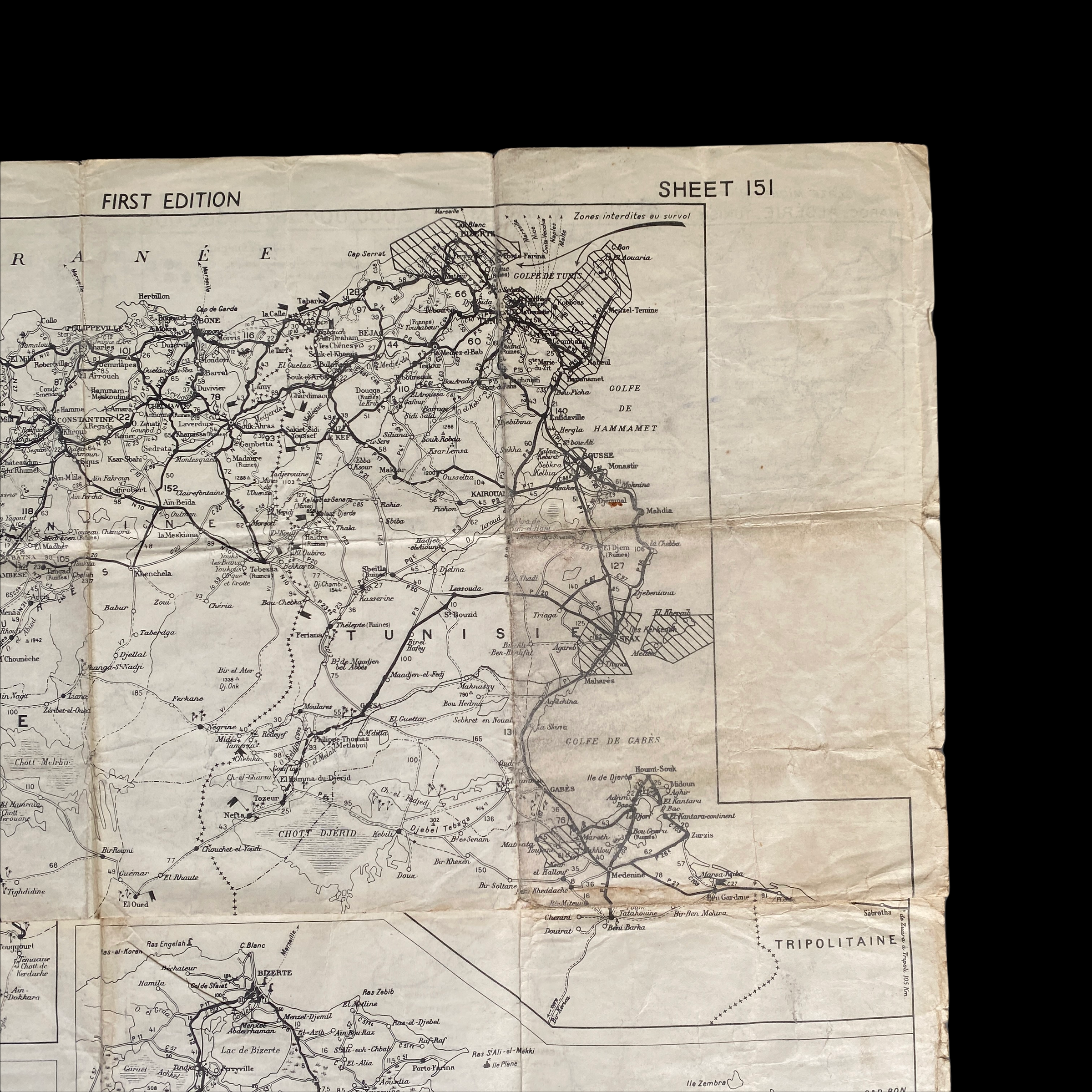
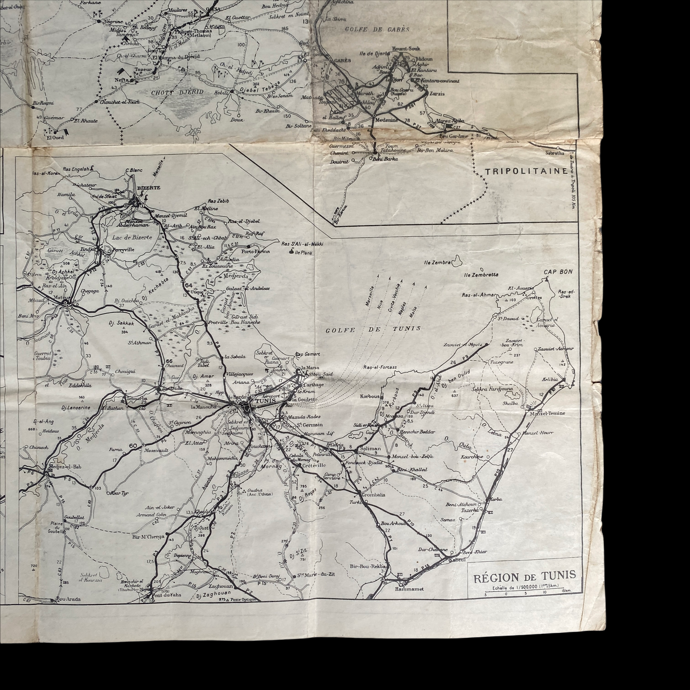
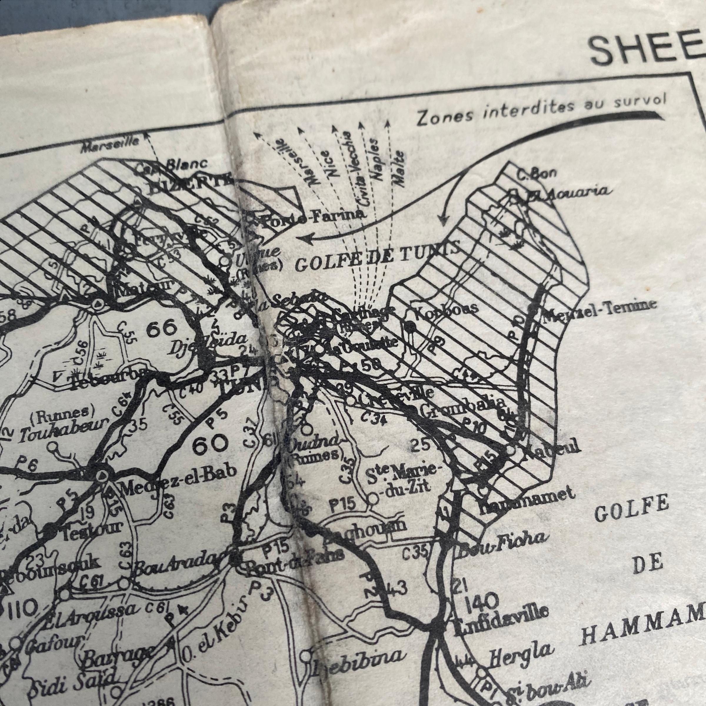
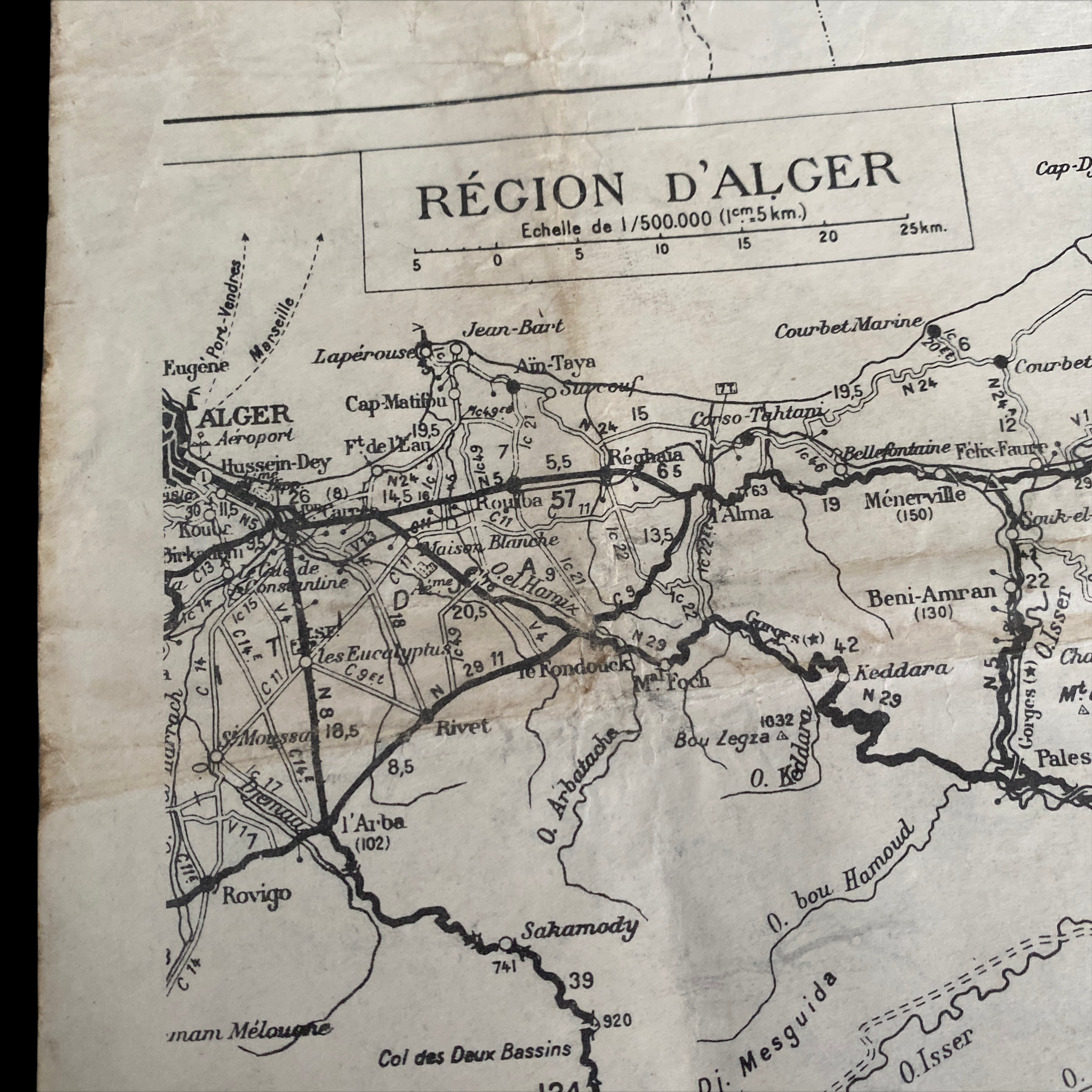
This heavily used and ‘salty’ double-sided map was used as the primary D-Day assault and shows all of the amphibious landing areas from Casablanca by the Western Task Force (Patton) to Oran by Central Task Force (Frendenhall) to the landing areas of the Eastern Task Force (Ryder) at Algiers. This rare ‘SHEET 151’ was a very limited printed map and was issued to the Western, Central, and Eastern Task Force prior to the D-Day landings.
This map played a vital role in the capture of the Axis-occupied towns and areas shown during the D-Day landings. Just to think of a group of WWII US soldiers circled around this map planning the assault of the town is almost unreal to imagine! What makes this amphibious landing map so rare is it features smaller sections of numerous other maps compiled into one. These condensed sections and simplified town and road layouts were used primarily for objective locations and movements after landing on the beaches.