RARE! WWII 1945 CONFIDENTIAL Okinawa Invasion Operation Iceberg Combat Map


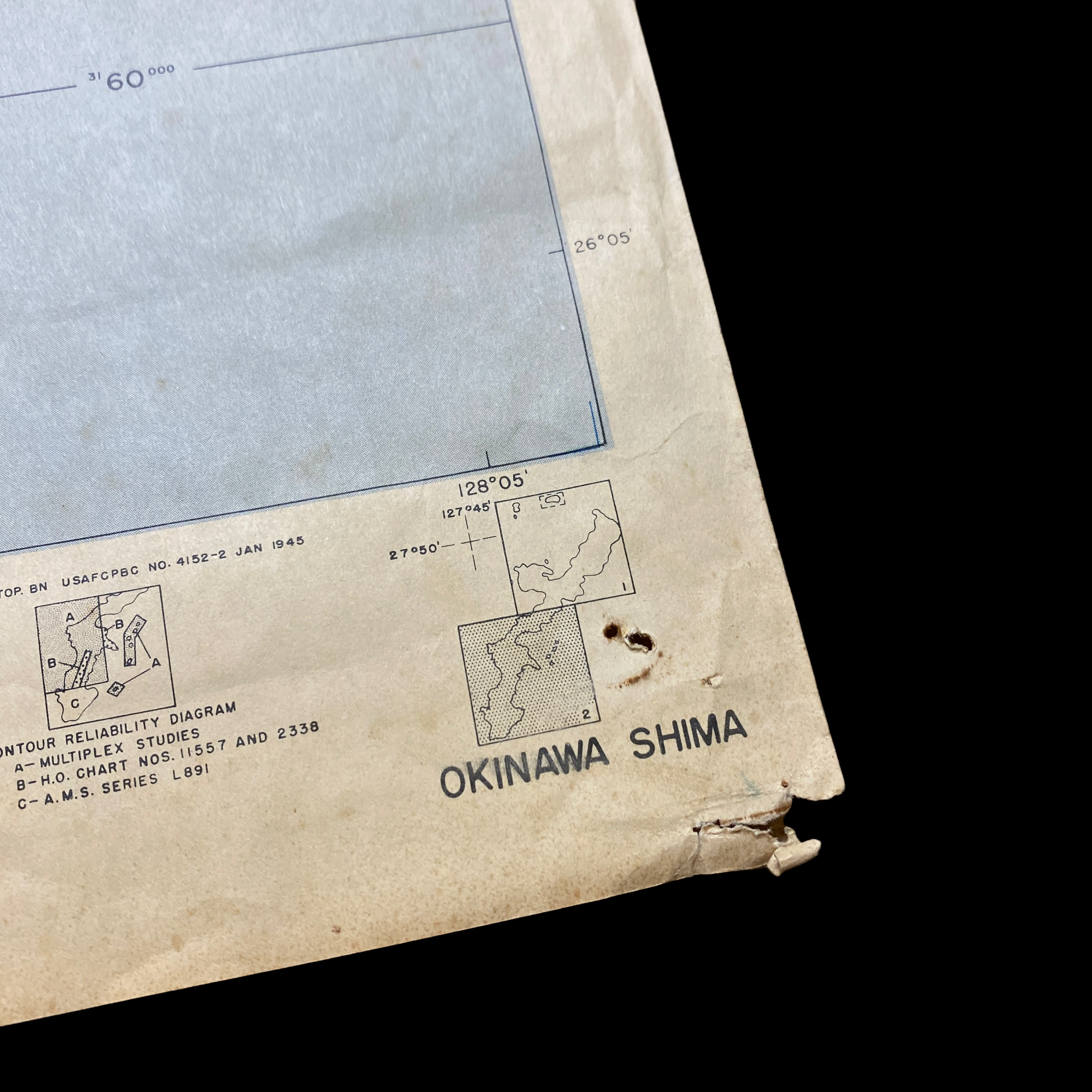
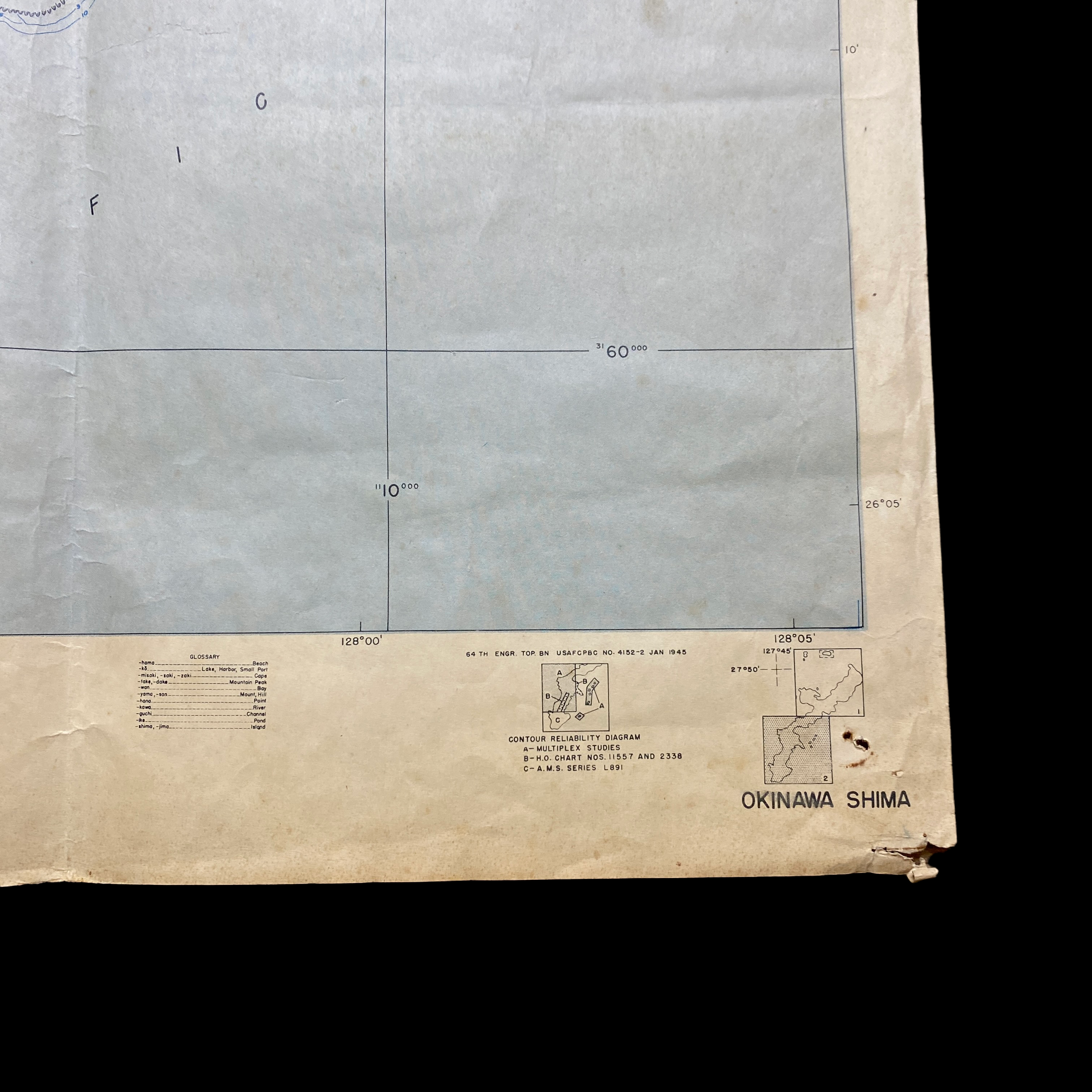

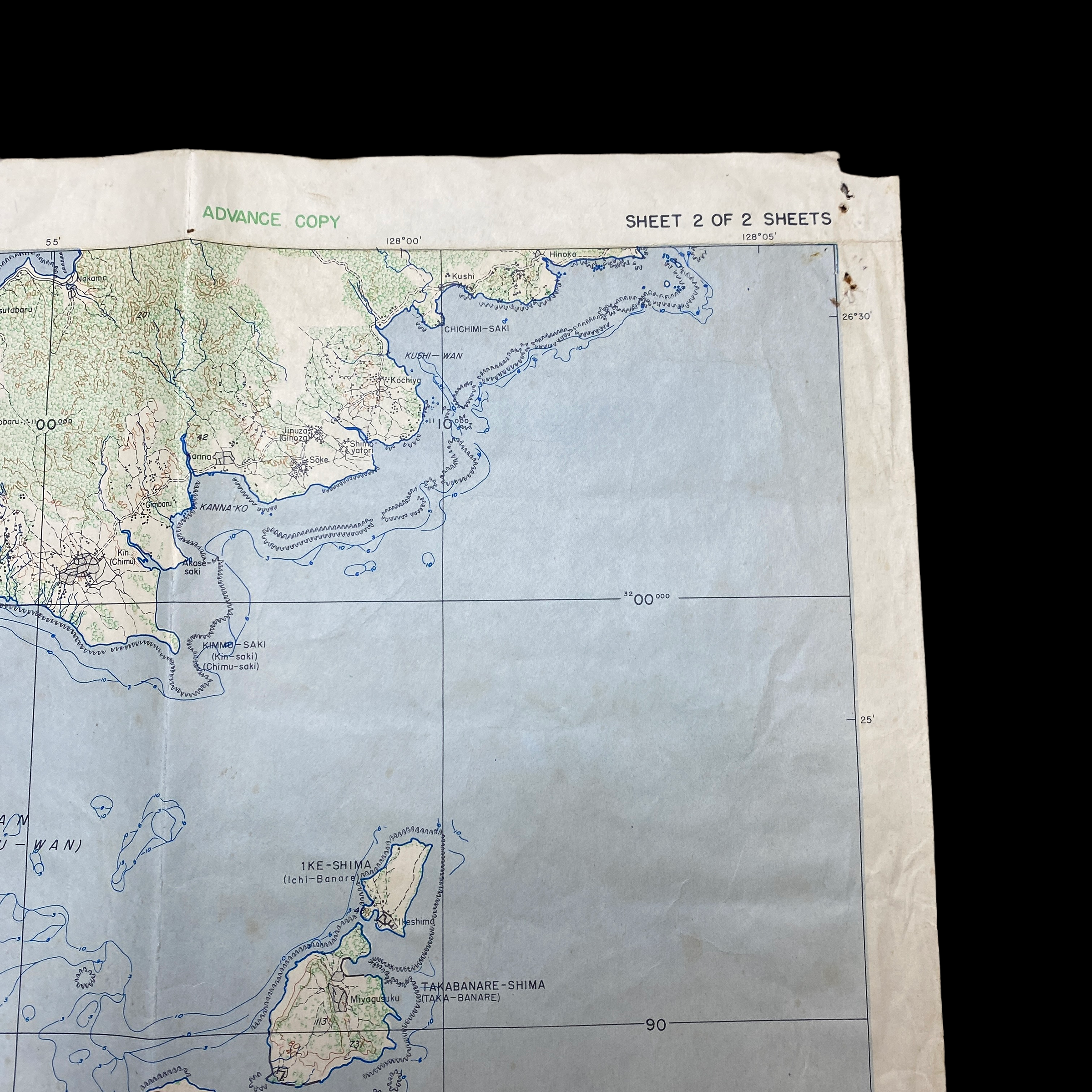

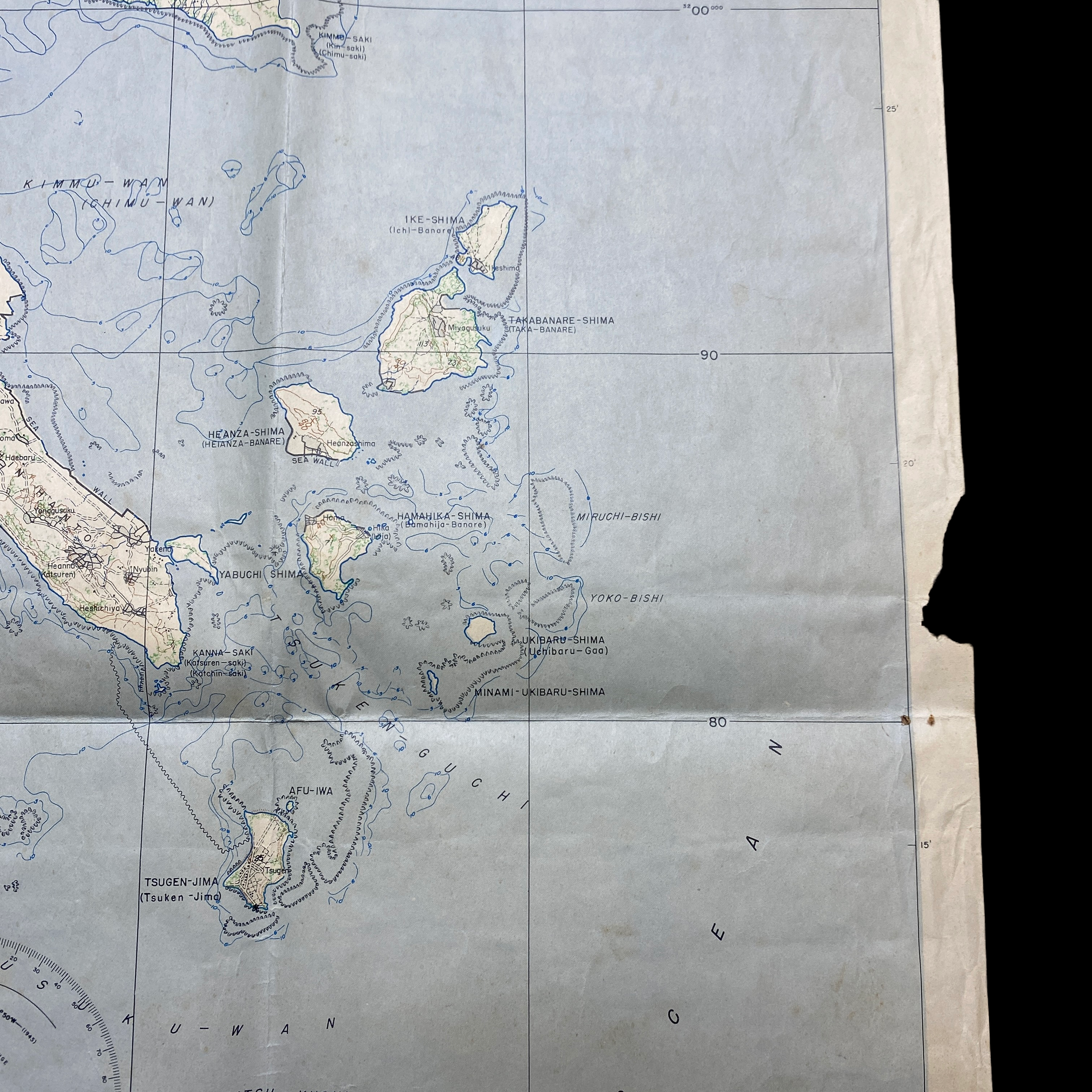

RARE! WWII 1945 CONFIDENTIAL Okinawa Invasion Operation Iceberg Combat Map
Comes with hand-signed C.O.A.
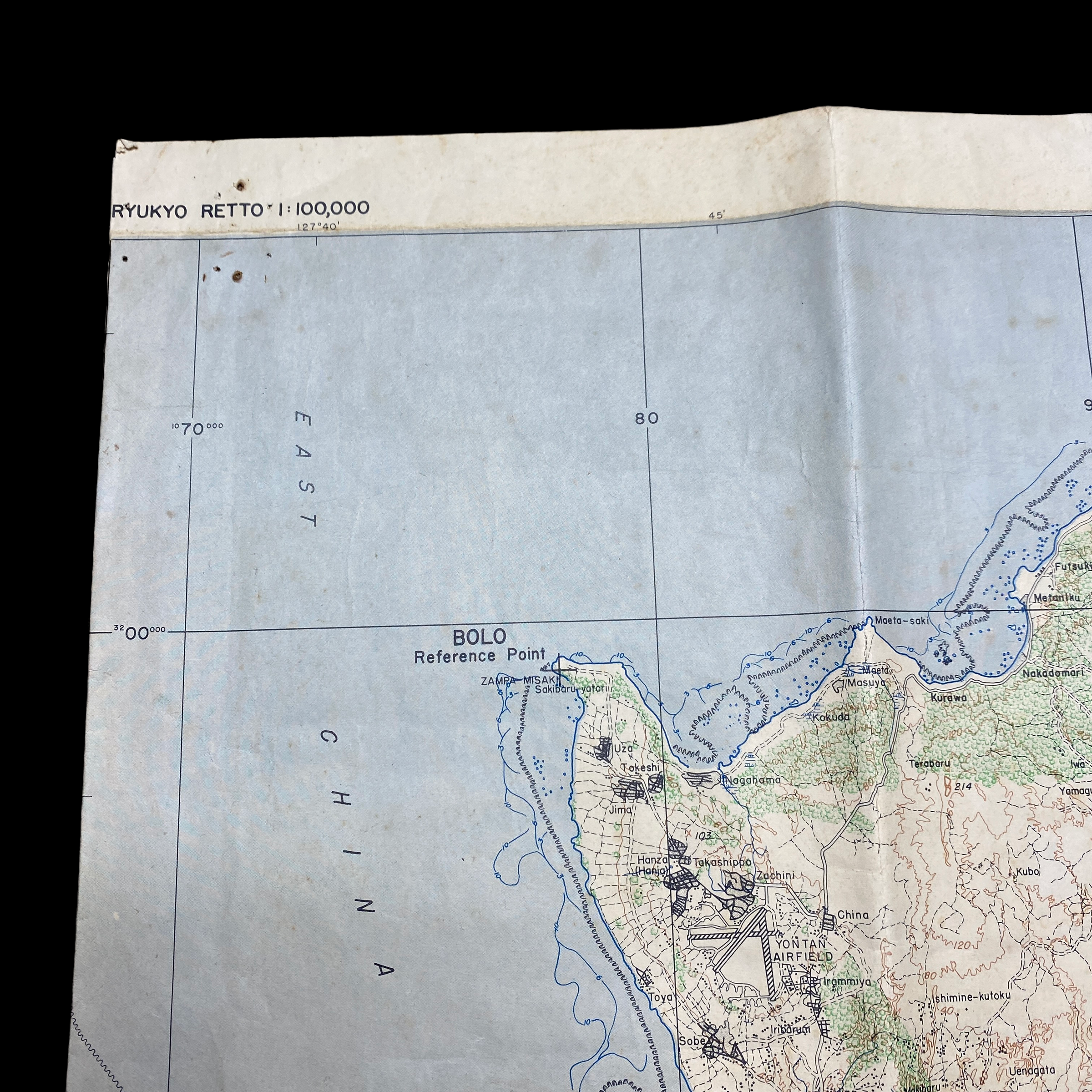
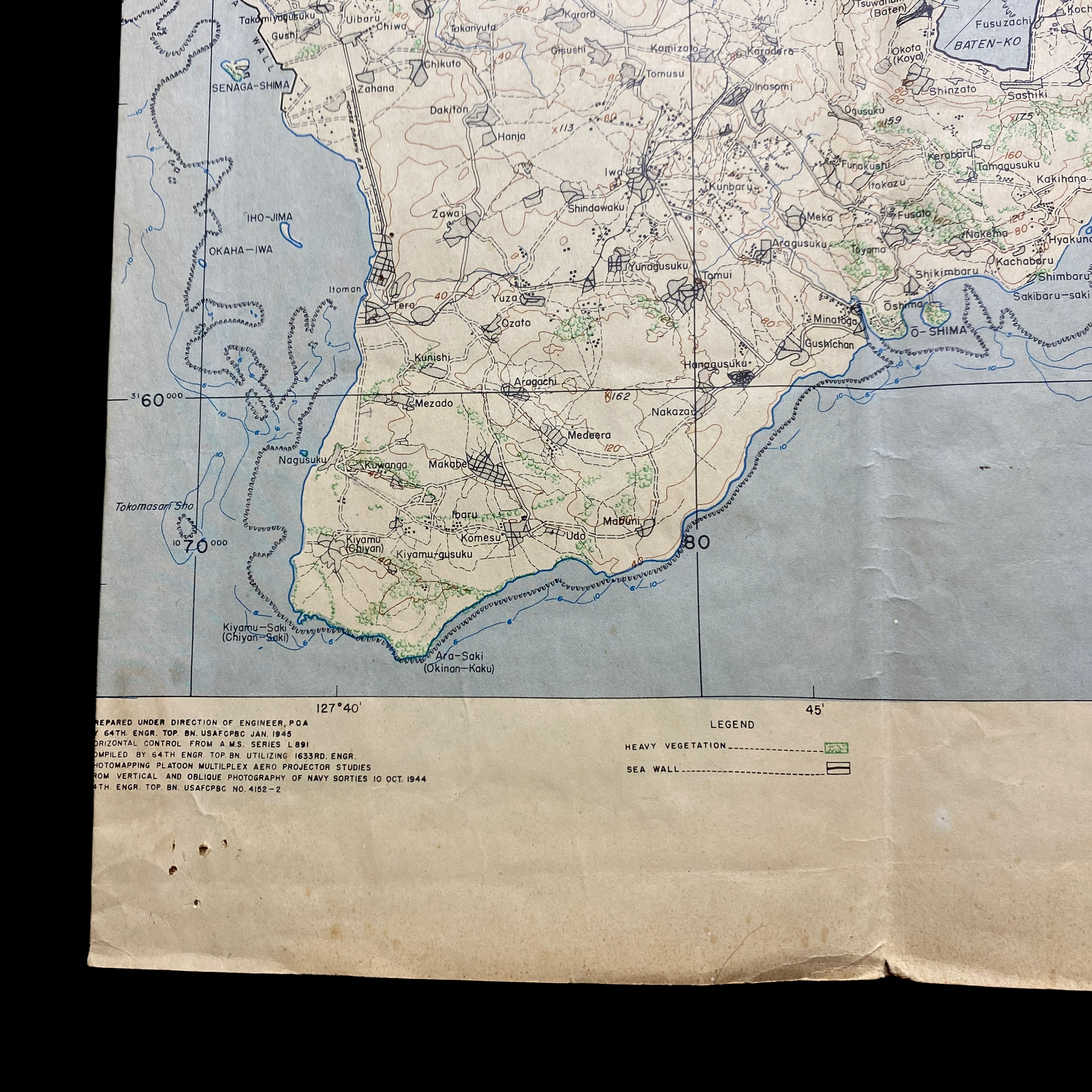
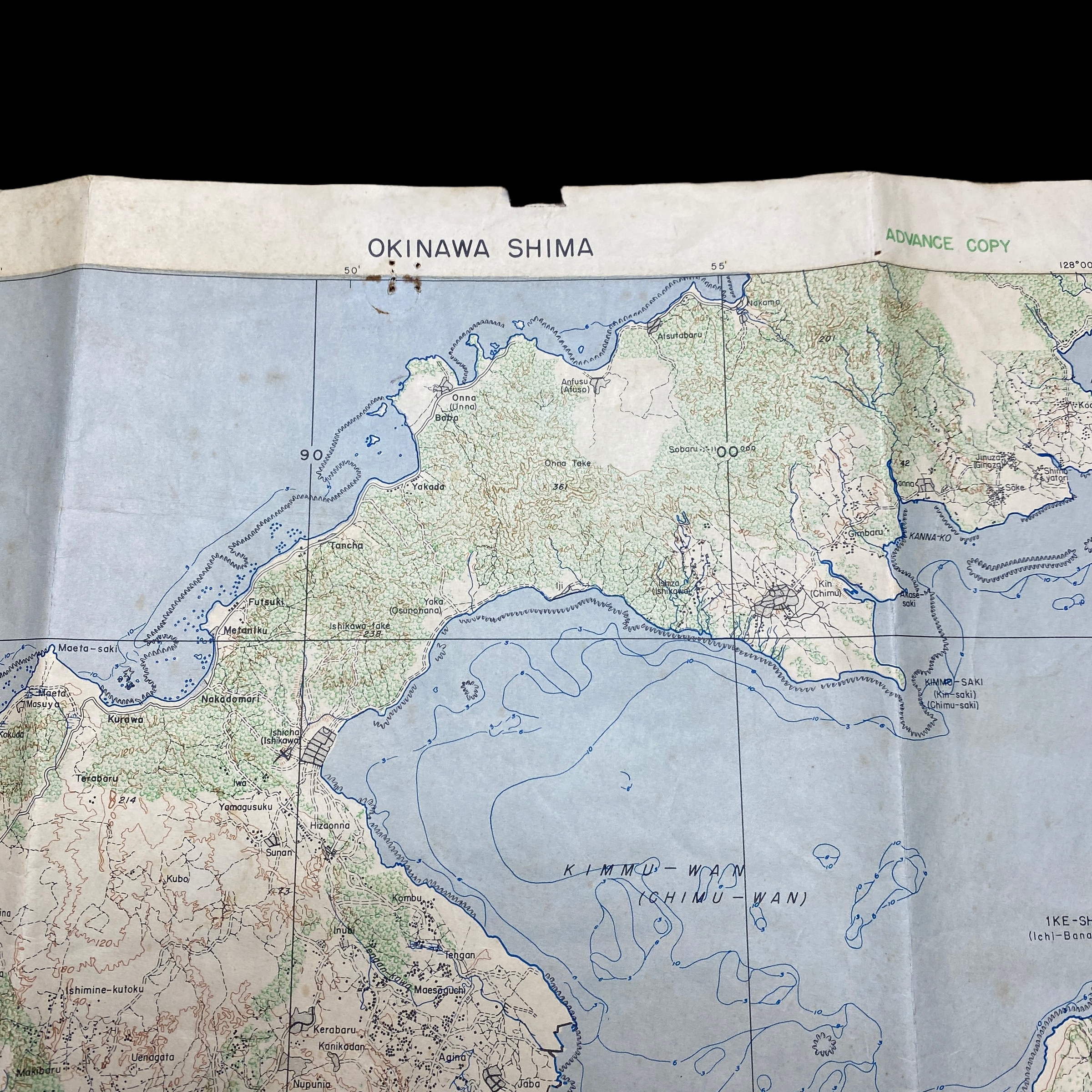
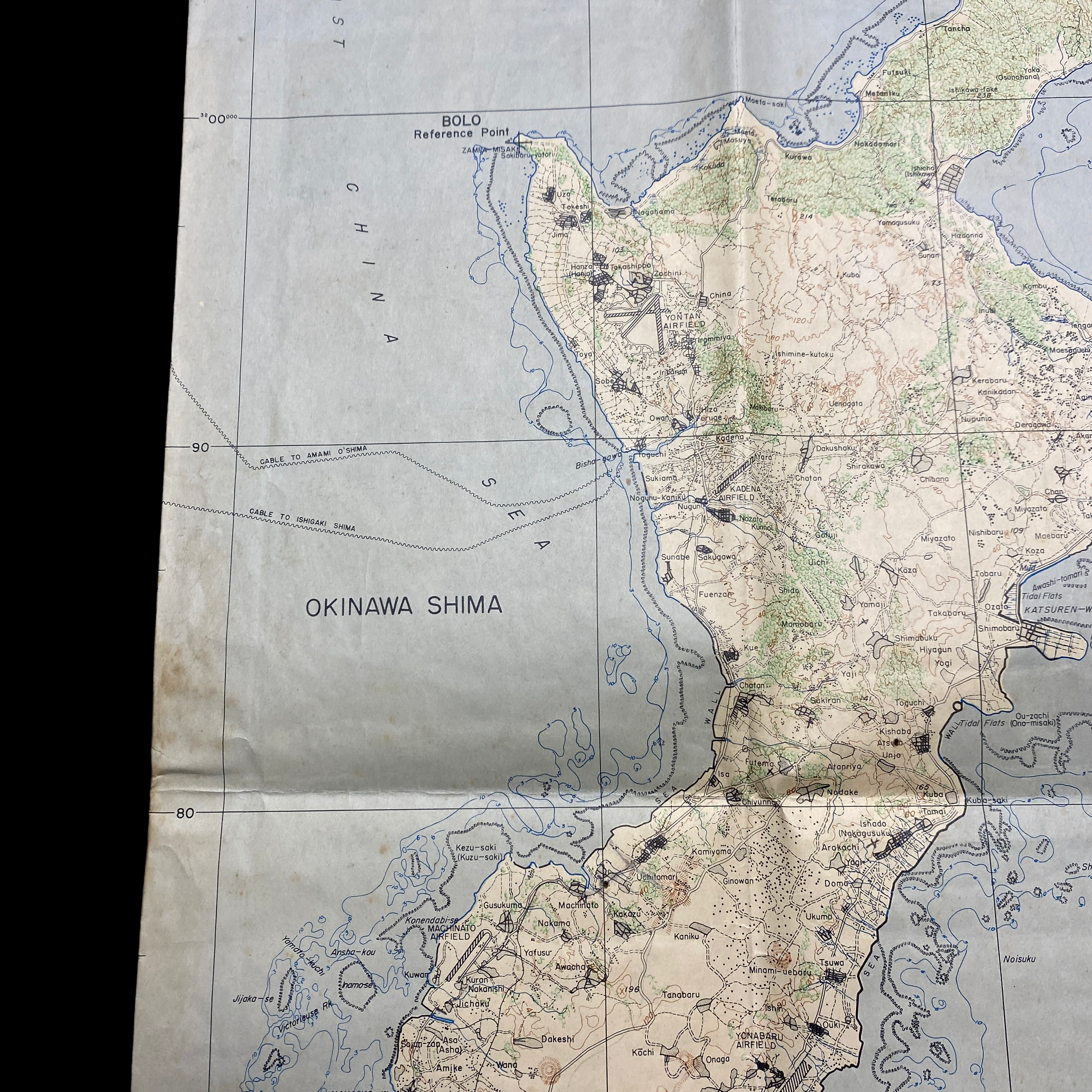
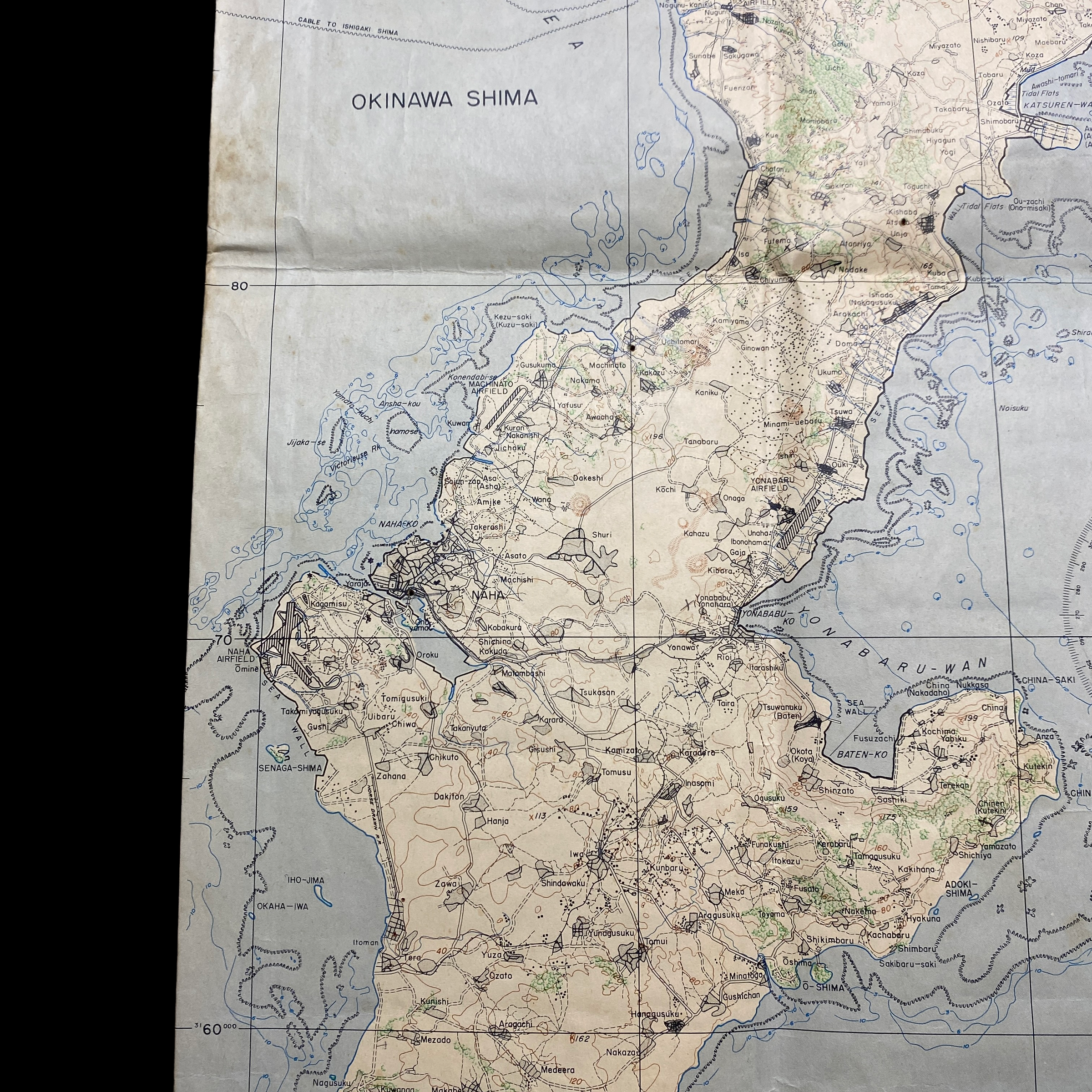
This rare January 1945 dated WWII invasion map of the Japanese occupied island of Okinawa is a 1 of 2 section map showing the battlefield composite of the lower southwest and beach landing sector of the island.
The map showcases one half section of the island and shows important objective landmarks such as Hagushi Bay (D-Day landing locations of the 6th, 1st, 7th and 96th Divisions) as well as multiple airfields, Isado, the infamous Sugar Load Hill and the Shuri Line where the Japanese withdrew on May 21st.
This map was created by the 64th Engineers. A special and rare feature of this map shows the detailed airfields and mountains with the unique view of important landmarks within the island. This would have been very helpful and used as a visual marker for infantryman to better identify these more notable landmarks when planning their attack on Okinawa.
Being produced in 1945 the Army wanted to give the infantry soldiers on the ground attacking Okinawa the most updated information. This lower sector of the island of Okinawa is where the 7th and 96th Divisions pushed towards the Shuri Line. This map in-particular was a US bring back and was found in the collection of 4 other RESTRICTED and SECRET Okinawa landing maps.
The battle has been referred to as the "typhoon of steel" in English, and tetsu no ame ("rain of steel") or tetsu no bōfū ("violent wind of steel") in Japanese. The nicknames refer to the ferocity of the fighting, the intensity of Japanese kamikaze attacks, and the sheer numbers of Allied ships and armored vehicles that assaulted the island. The battle was one of the bloodiest in the Pacific, with approximately 160,000 casualties on both sides: at least 75,000 Allied and 84,166–117,000 Japanese, including drafted Okinawans wearing Japanese uniforms. 149,425 Okinawans were killed, committed suicide or went missing, a significant proportion of the estimated pre-war 300,000 local population.