Original 1963 U.S. Department of Commerce "Martha's Vineyard to Block Island" Massachusetts to Rhode Island Navigation and Ocean Fathom Depth Nautical Map*
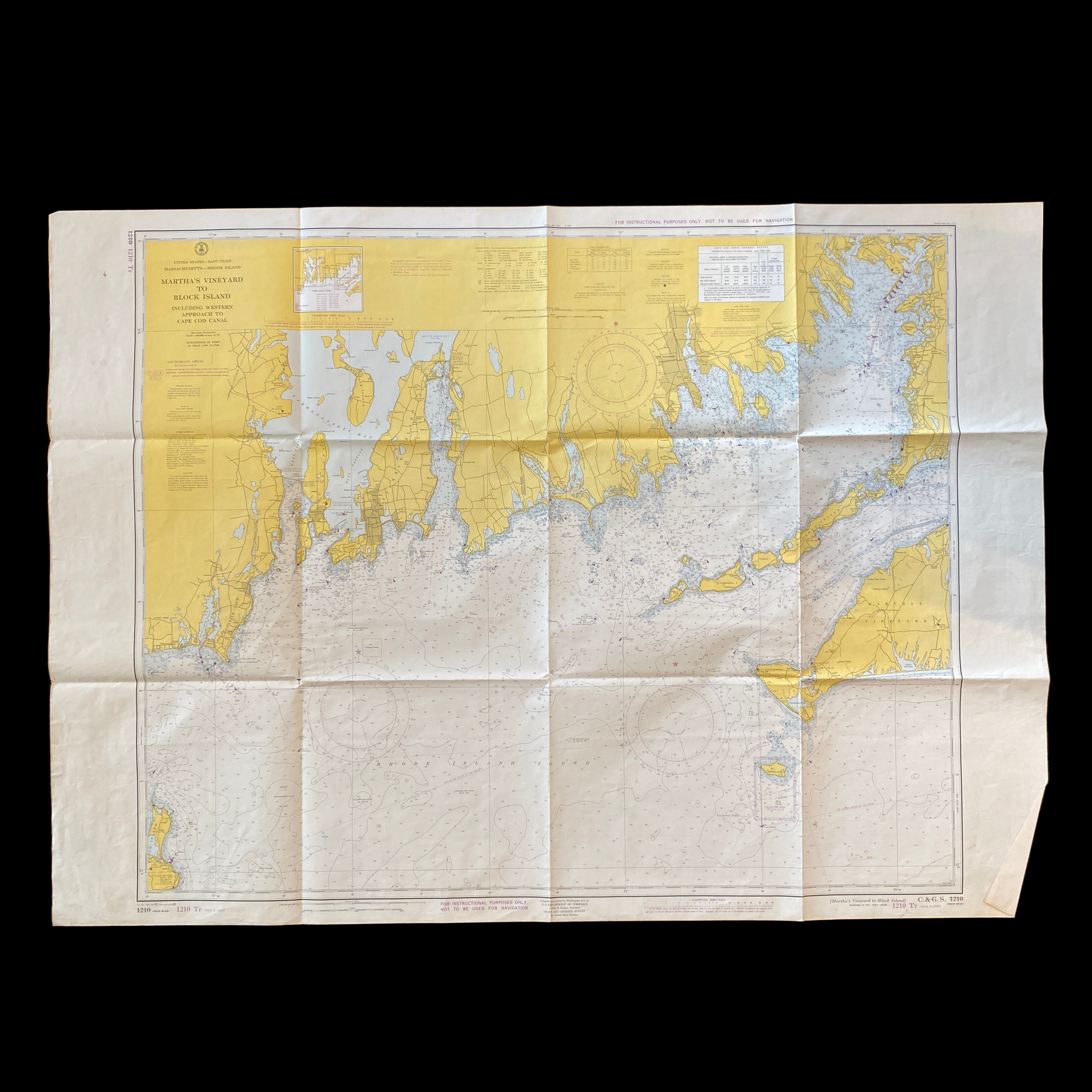


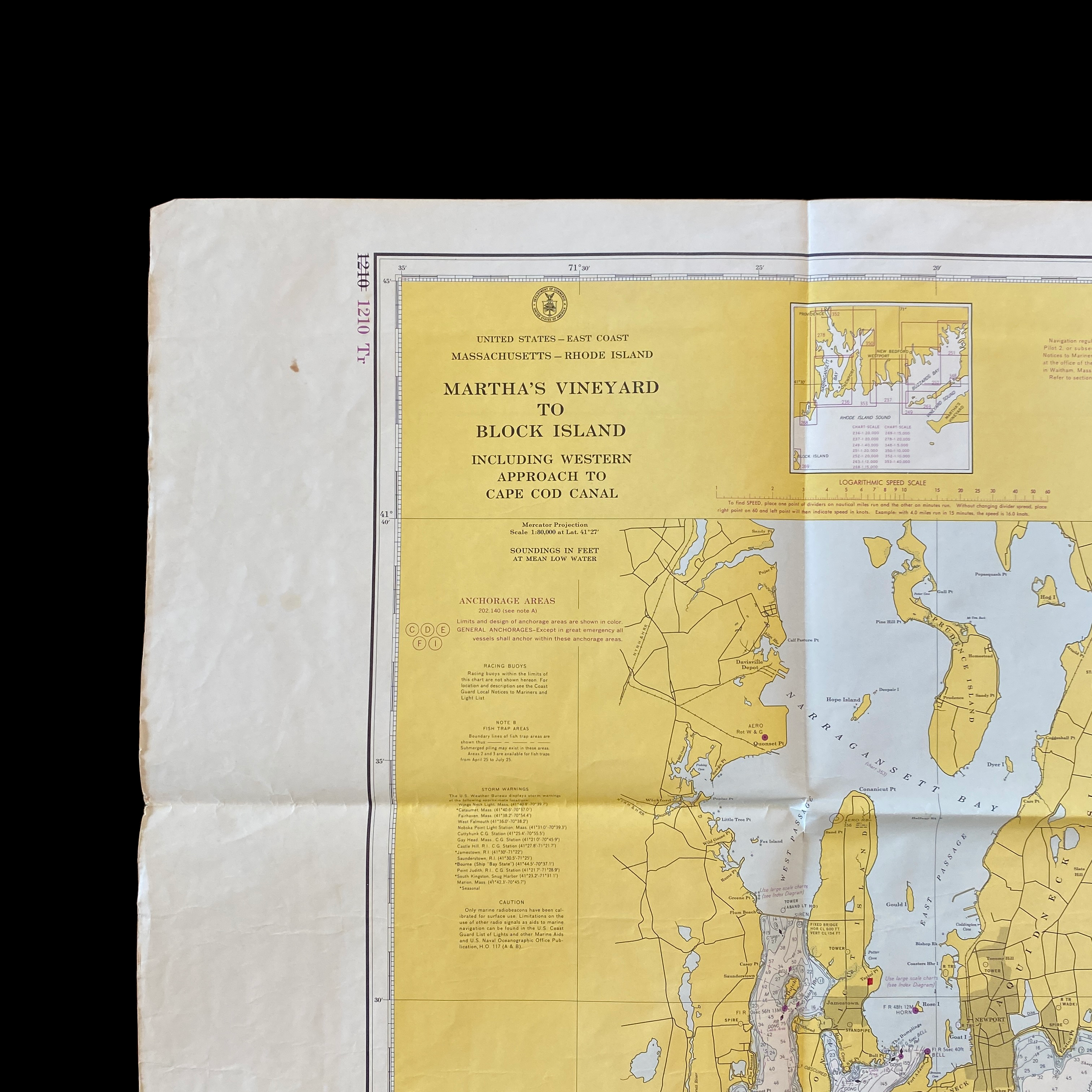


Original 1963 U.S. Department of Commerce "Martha's Vineyard to Block Island" Massachusetts to Rhode Island Navigation and Ocean Fathom Depth Nautical Map*
Comes with C.O.A.
Perfect for the historian, seaman, map-lover, the curious or just as a conversation starter. Wonderful and rare. Vintage maps such as these make great gifts.
7th Edition of 1962, printed 1963.
DOUBLE-SIDED
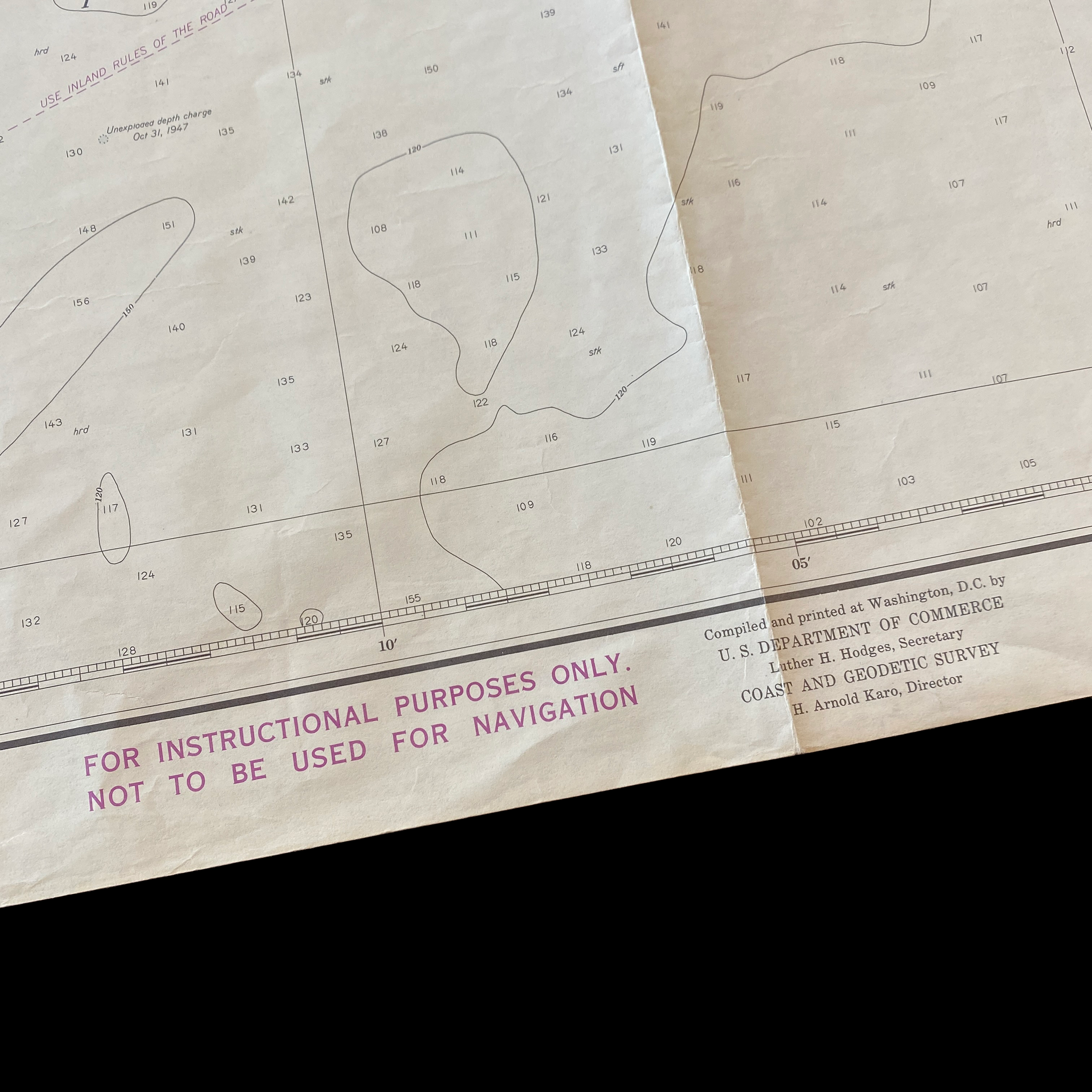
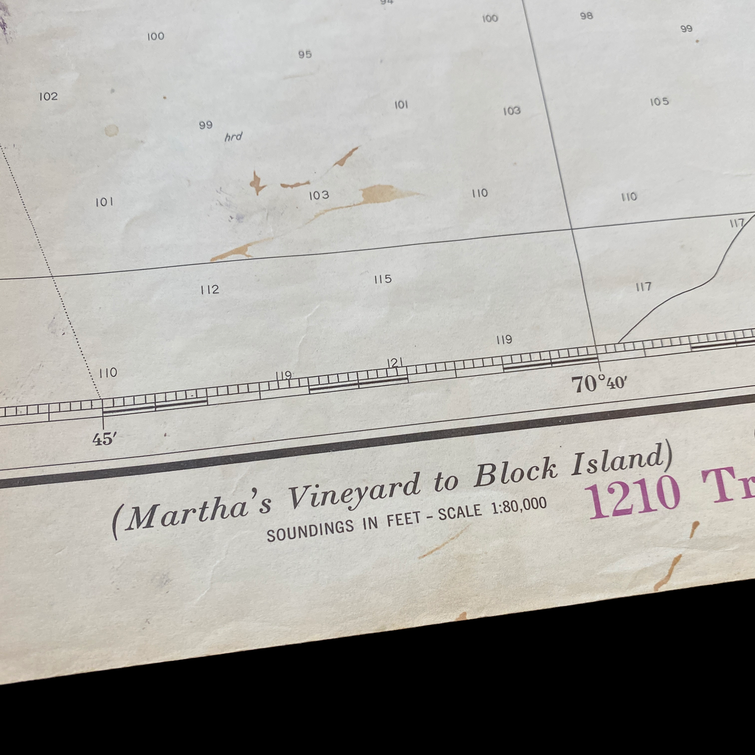
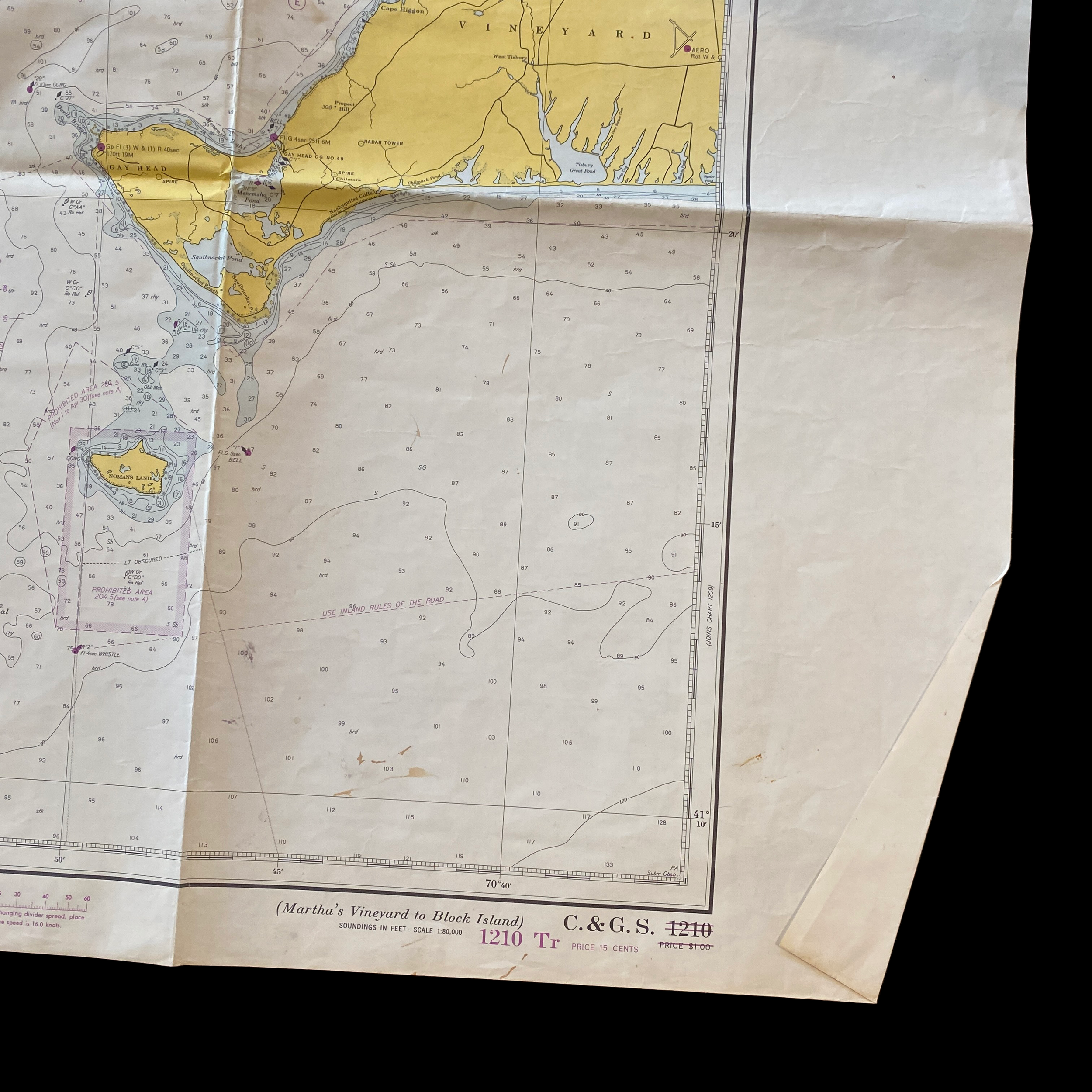
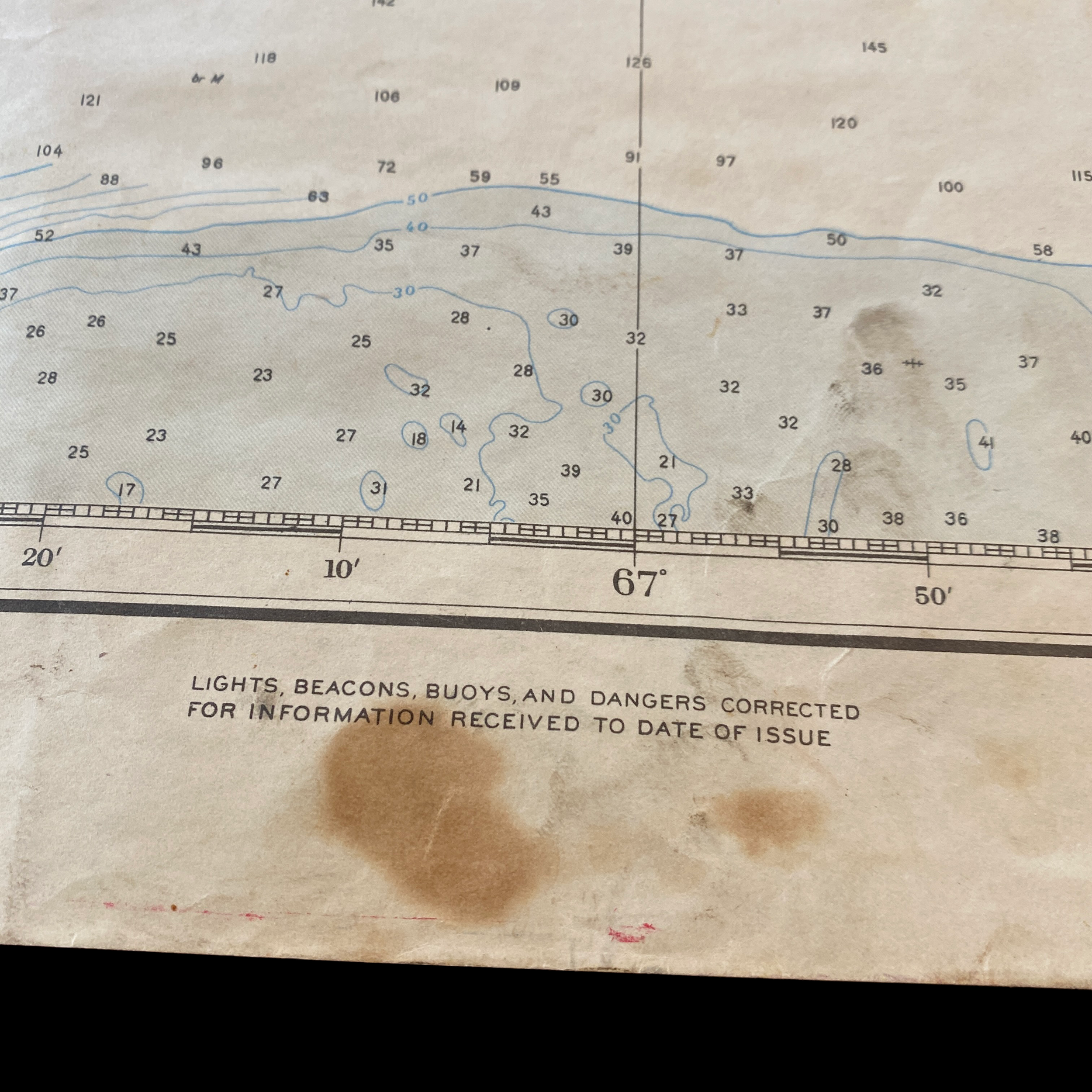
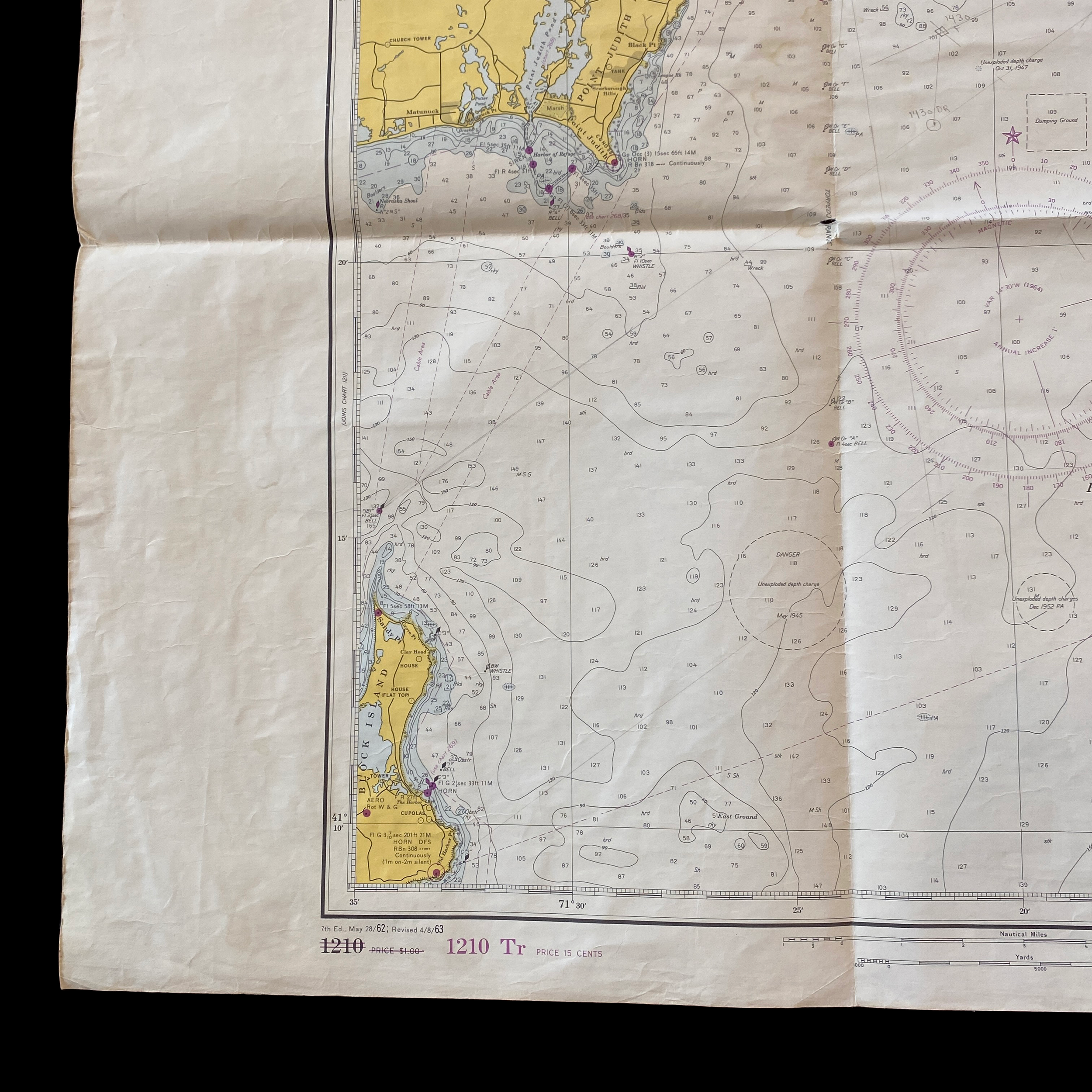
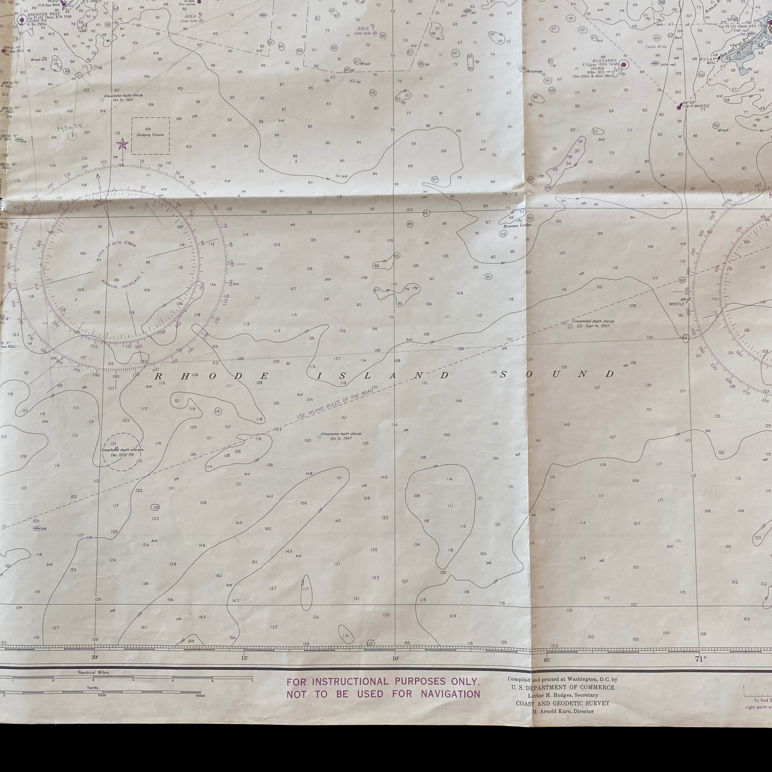
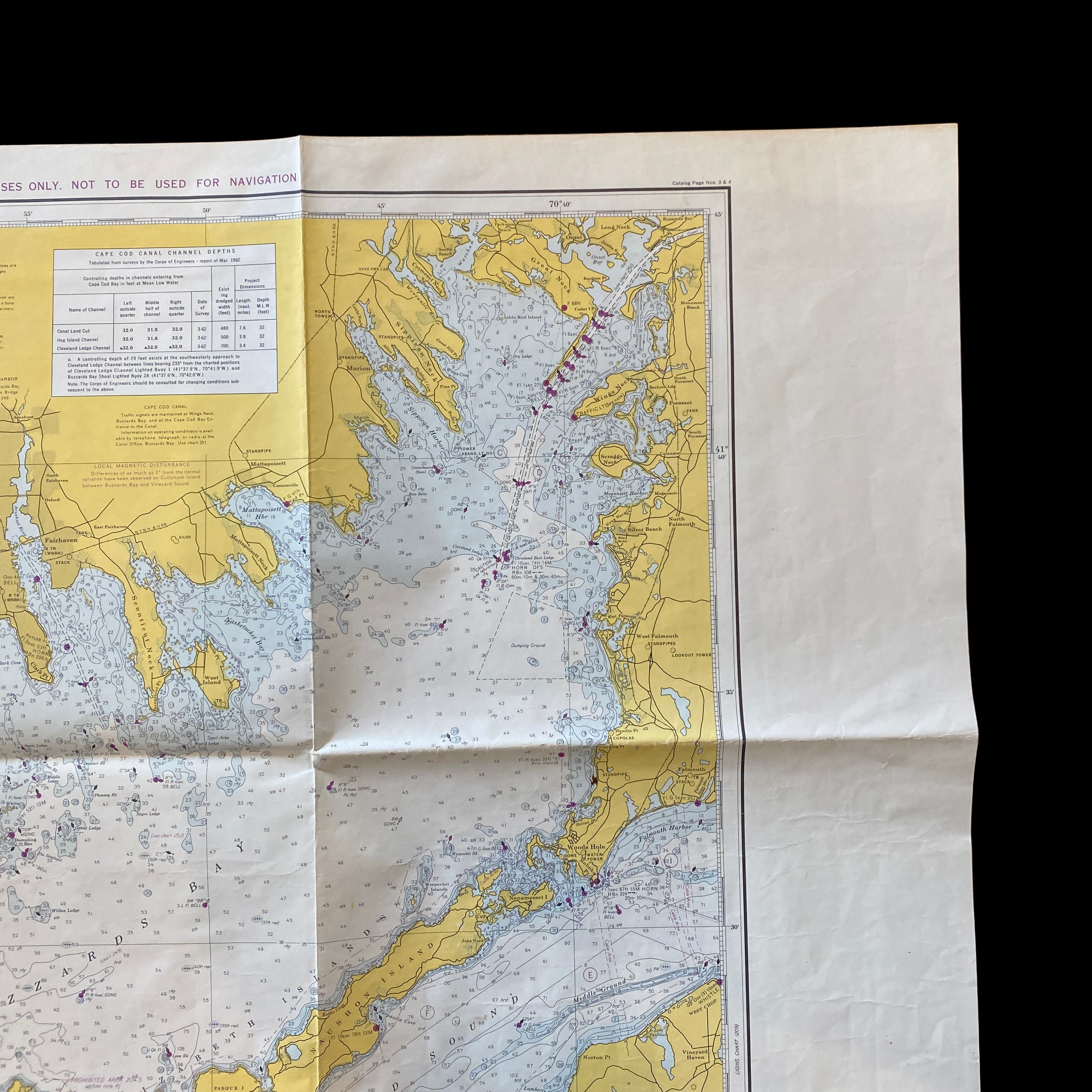
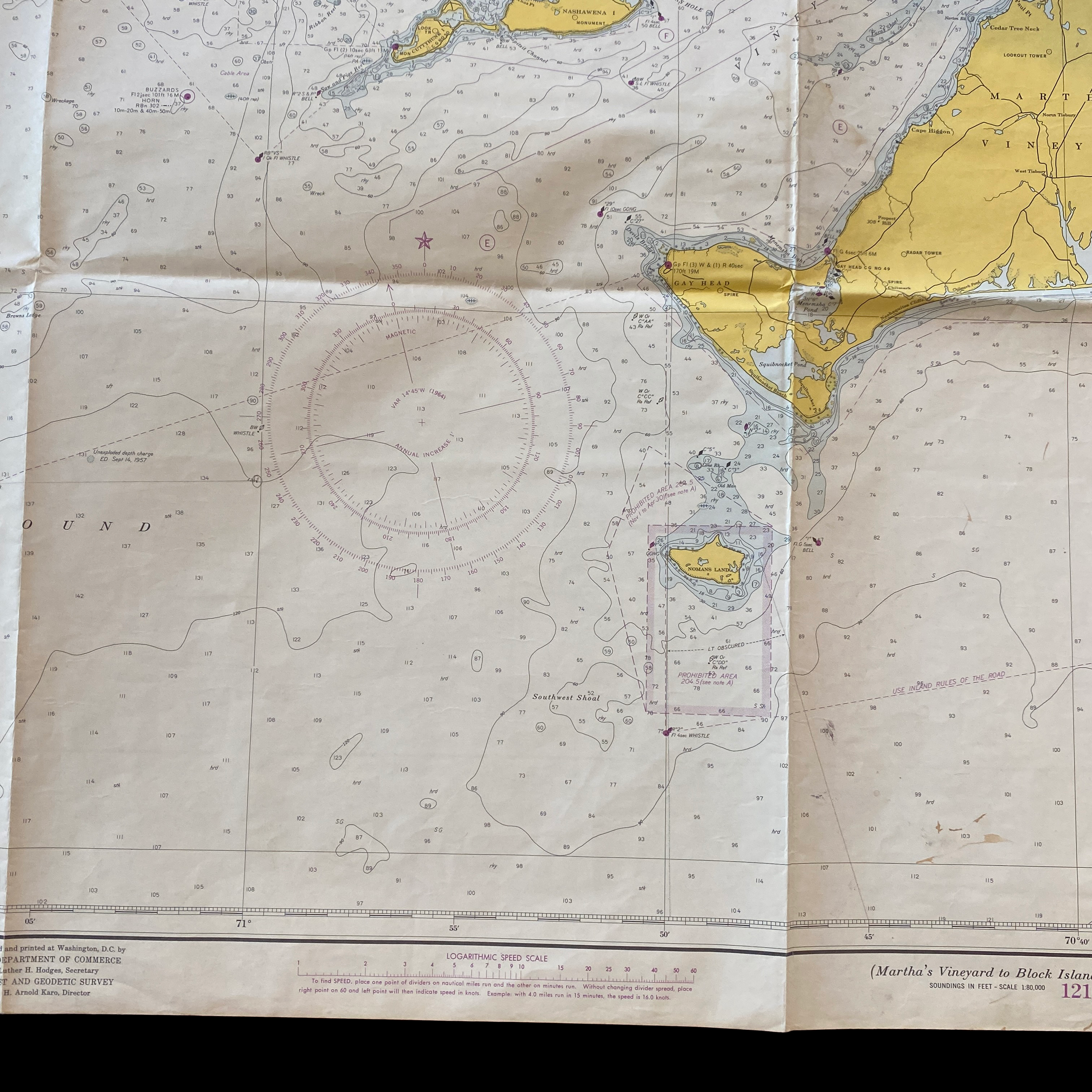
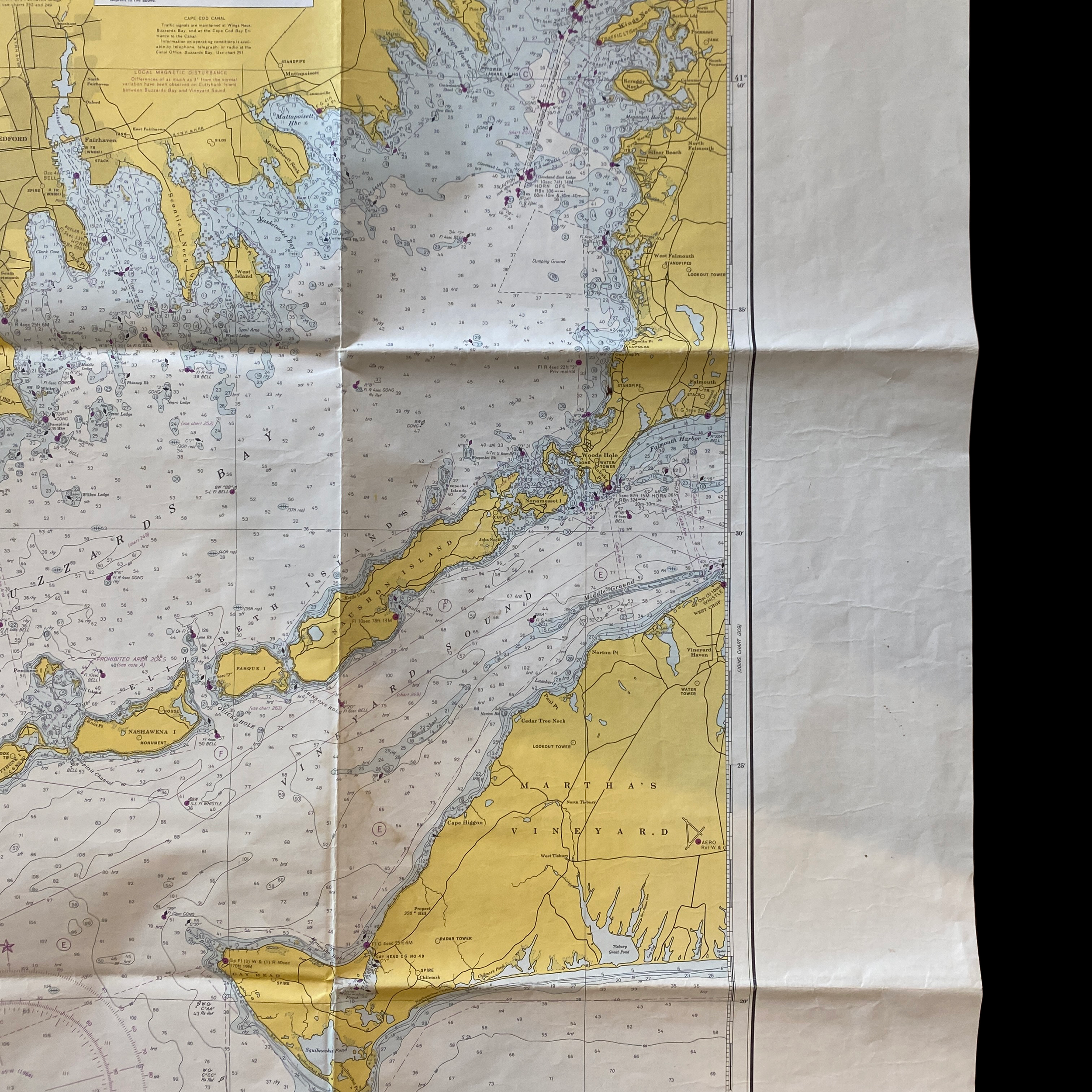
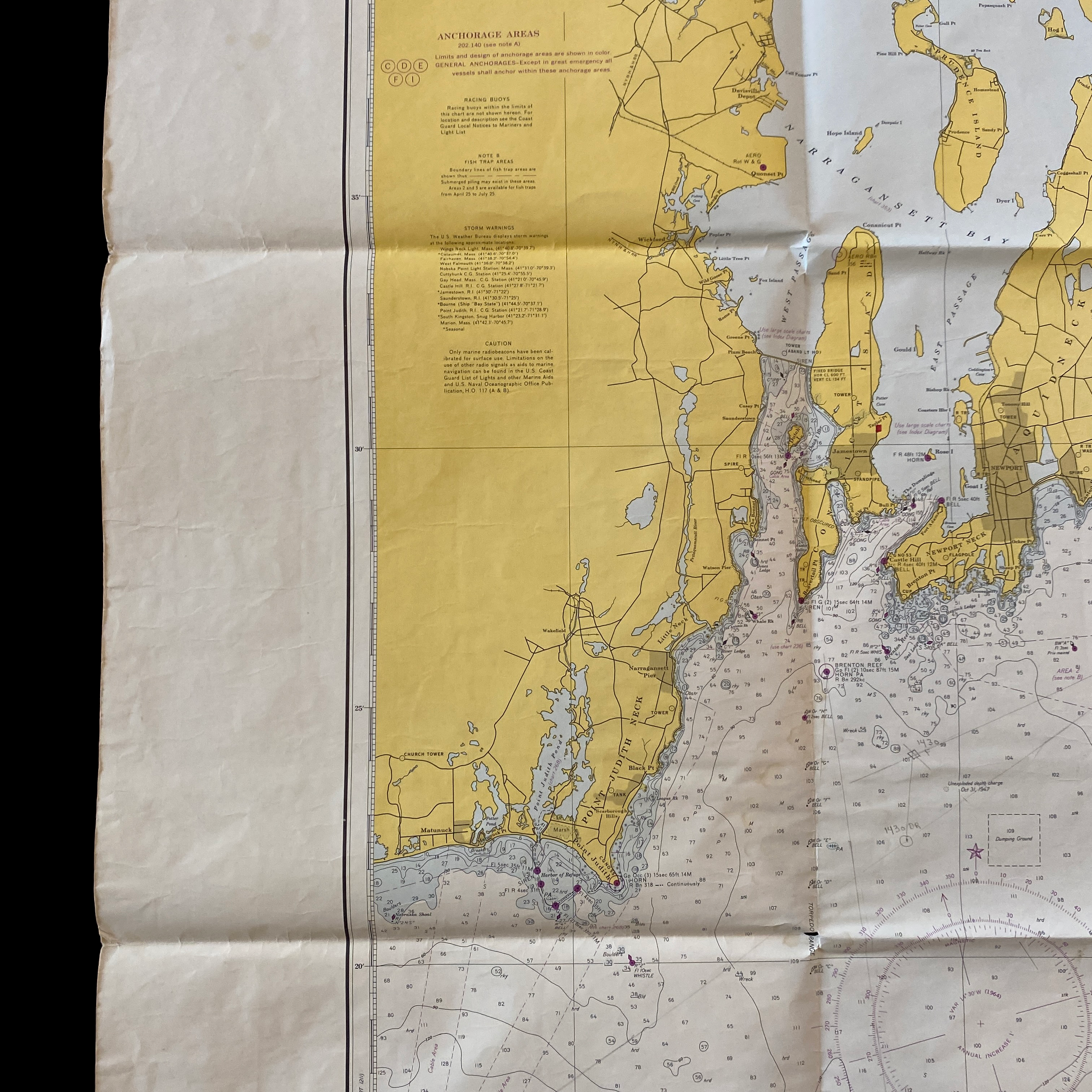
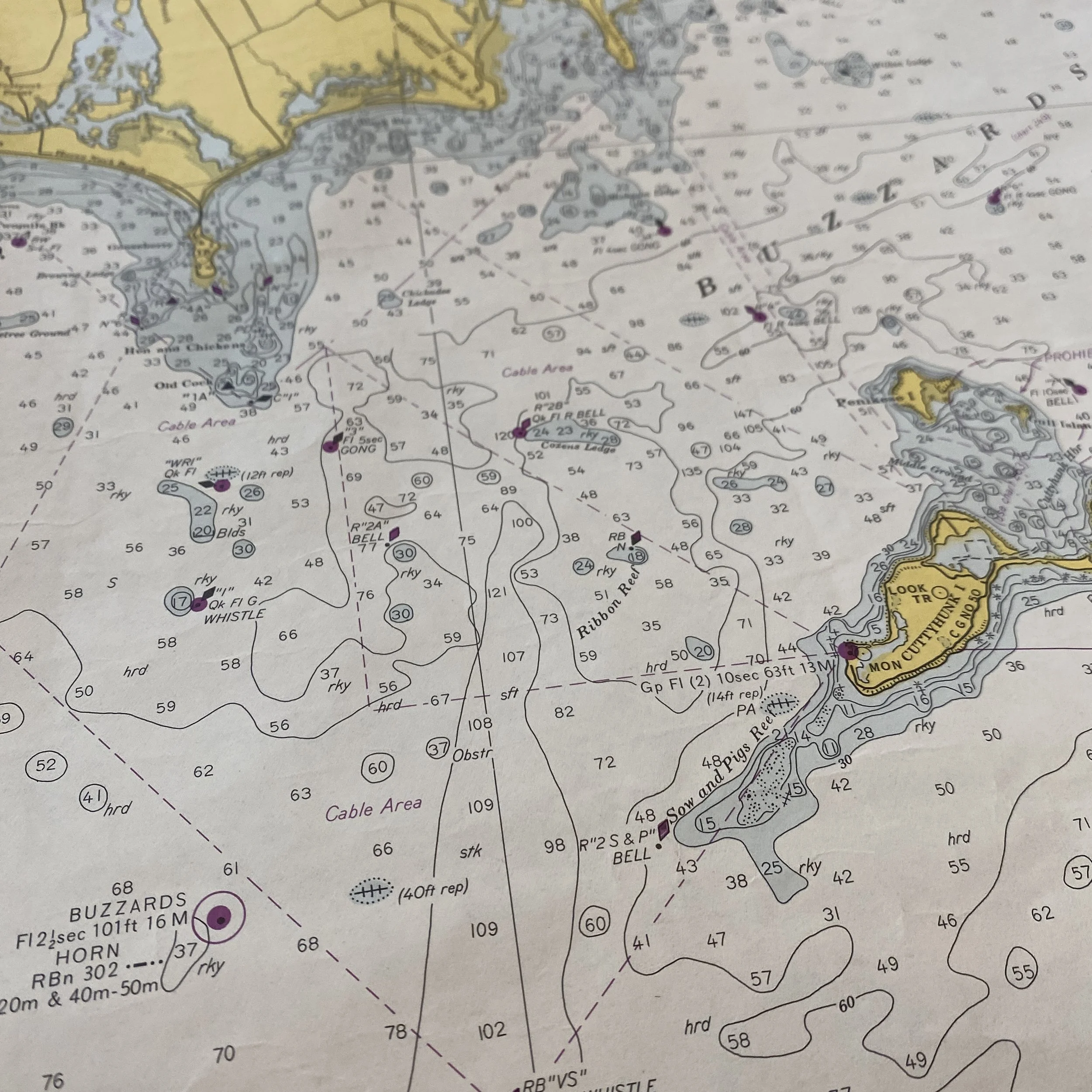
The United States Department of Commerce published a fathom and depth chart ocean map in 1963 that includes the regions surrounding Martha's Vineyard, Block Island, and Rhode Island. This map, which was created using data from various sources including hydrographic surveys and tide gauge measurements, provides detailed information about the ocean floor and water depths in these areas.
Martha's Vineyard is a large island located off the coast of Massachusetts, and is known for its picturesque beaches and historic towns. The map shows that the waters surrounding the island are relatively shallow, with depths ranging from around 20 to 40 feet. However, there are also several deeper areas, such as a trench that runs along the southern coast of the island and reaches depths of over 100 feet. This trench is believed to be the result of tectonic activity, and is home to a variety of marine life.
Block Island is a smaller island located to the south of Martha's Vineyard, and is part of the state of Rhode Island. The map shows that the waters surrounding Block Island are also relatively shallow, with depths generally ranging from around 20 to 40 feet. However, there are also some deeper areas, such as a trench located off the western coast of the island that reaches depths of over 80 feet.
The waters between Martha's Vineyard and Block Island are also relatively shallow, with depths generally ranging from around 20 to 40 feet. However, there are also some deeper areas, such as a trench located off the western coast of the island that reaches depths of over 80 feet.
Finally, the waters surrounding Rhode Island are relatively shallow as well, with depths generally ranging from around 20 to 40 feet. However, there are also some deeper areas, such as a trench located off the western coast of the island that reaches depths of over 80 feet.
In summary, the 1963 U.S. Department of Commerce fathom and depth chart ocean map provides detailed information about the ocean floor and water depths in the regions surrounding Martha's Vineyard, Block Island, and Rhode Island. The map shows that these waters are generally shallow, with depths ranging from around 20 to 40 feet, but also includes deeper areas such as trenches, which are believed to be the result of tectonic activity and provide habitats for marine life.
The United States Department of Commerce played an important role in the economic and social development of the regions surrounding Martha's Vineyard, Block Island, and Rhode Island in 1963. This period was marked by significant changes in the economy and demographics of these areas, as well as the expansion of government programs and initiatives aimed at promoting economic growth and improving the standard of living for residents.
In 1963, Martha's Vineyard was a popular tourist destination, known for its picturesque beaches and historic towns. The Department of Commerce worked to promote the island as a tourist destination through various marketing campaigns and initiatives. The department also assisted local businesses by providing funding and resources to help them expand and improve their operations.
Block Island, which is part of the state of Rhode Island, also saw significant economic growth in 1963. The Department of Commerce helped to promote the island as a tourist destination and provided funding and resources to local businesses. Additionally, the department worked with the local government to improve infrastructure and public services on the island.
The region between Martha's Vineyard and Block Island also benefited from the efforts of the Department of Commerce in 1963. The department worked to improve transportation and communication infrastructure, which helped to spur economic development in the area. The department also provided funding and resources to local businesses to help them expand and improve their operations.
Finally, Rhode Island experienced significant economic growth in 1963, and the Department of Commerce played a key role in this development. The department provided funding and resources to local businesses to help them expand and improve their operations. Additionally, the department worked with the local government to improve infrastructure and public services throughout the state.
In conclusion, the U.S. Department of Commerce played a crucial role in the economic and social development of the regions surrounding Martha's Vineyard, Block Island, and Rhode Island in 1963. Through various programs and initiatives, the department helped to promote economic growth and improve the standard of living for residents in these areas. The department's efforts, such as funding and resources provided to local businesses, and infrastructure and public services improvements, helped to spur economic development and promote tourism which were key factors in the region's growth.