Original 1943 U.S. Department of Commerce "BLUE HILL BAY - MAINE" US Coast Guard Ships Navigation and Ocean Fathom Depth Nautical Map*


Original 1943 U.S. Department of Commerce "BLUE HILL BAY - MAINE" US Coast Guard Ships Navigation and Ocean Fathom Depth Nautical Map*
Comes with C.O.A.
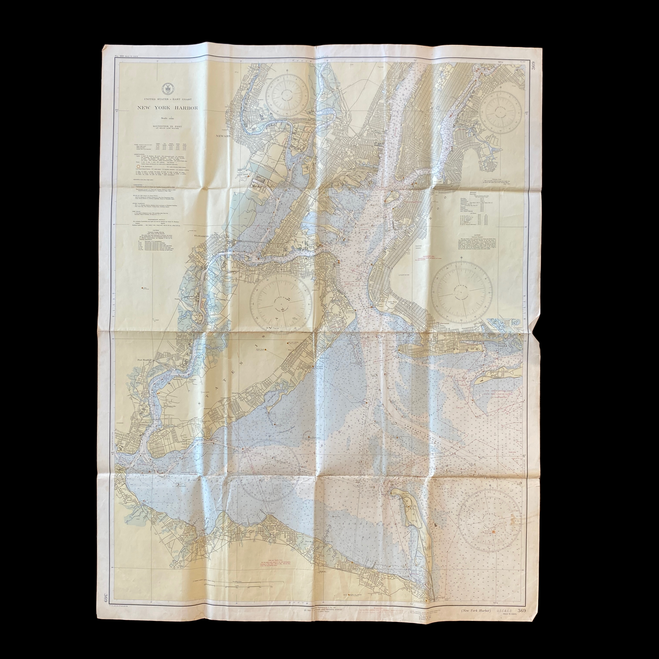
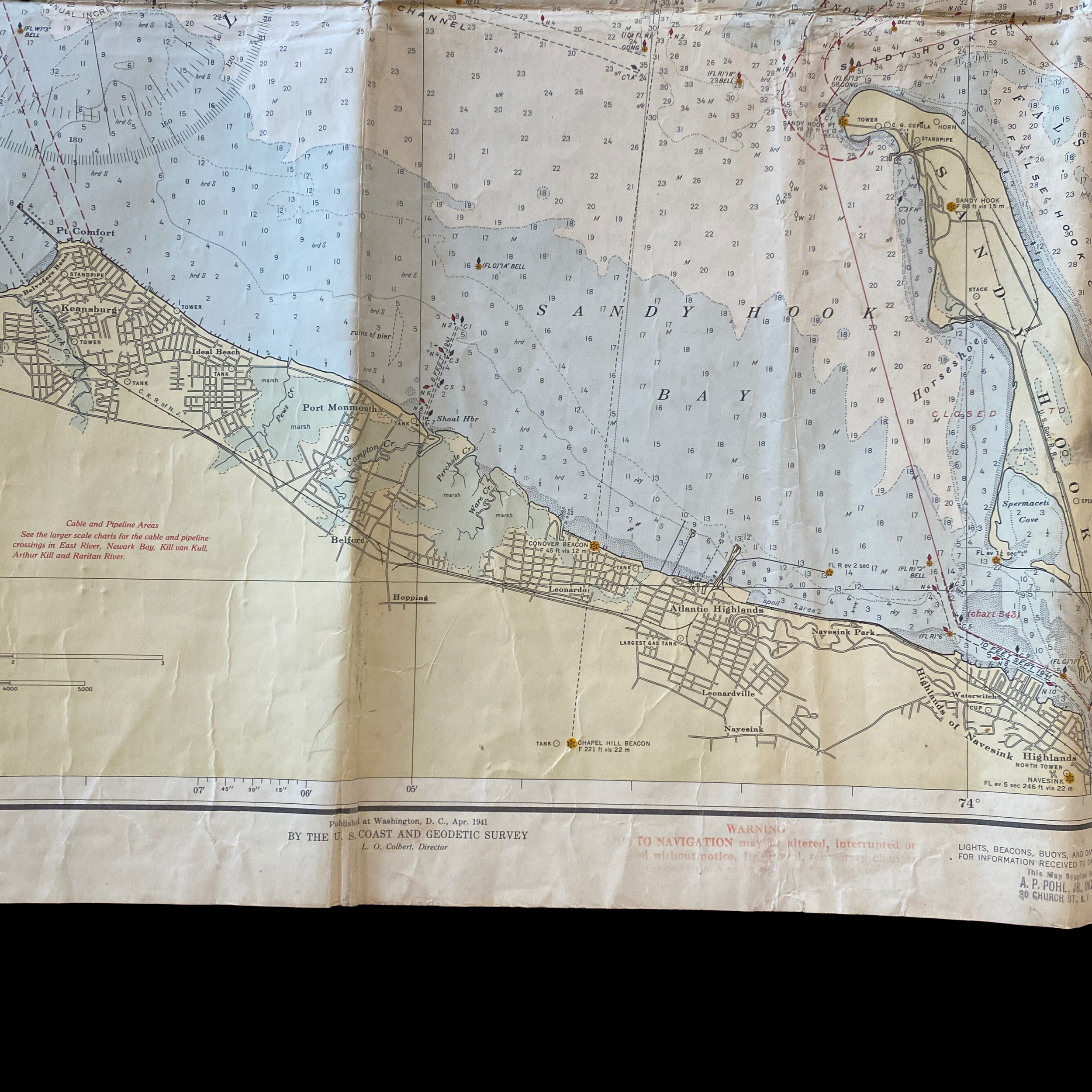
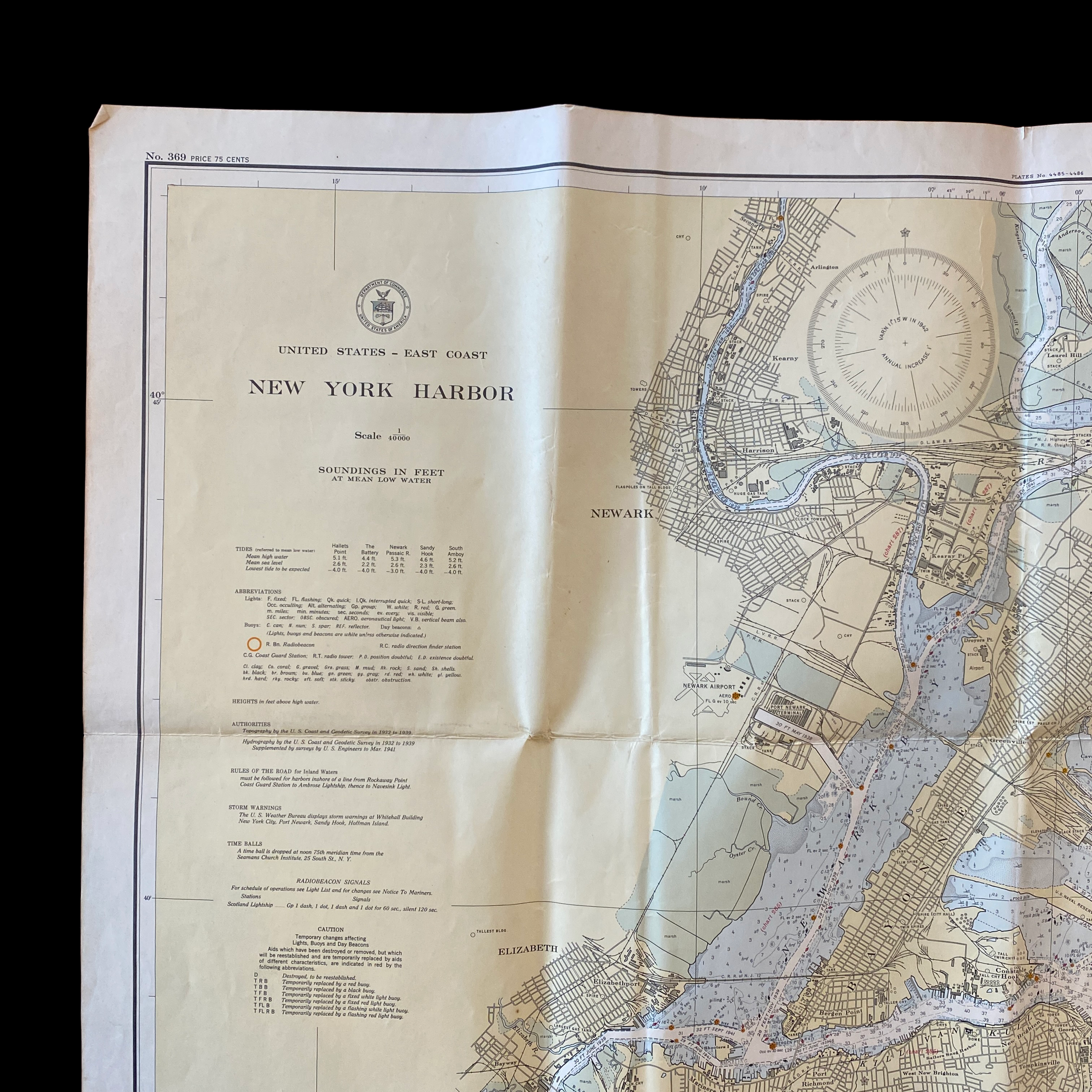
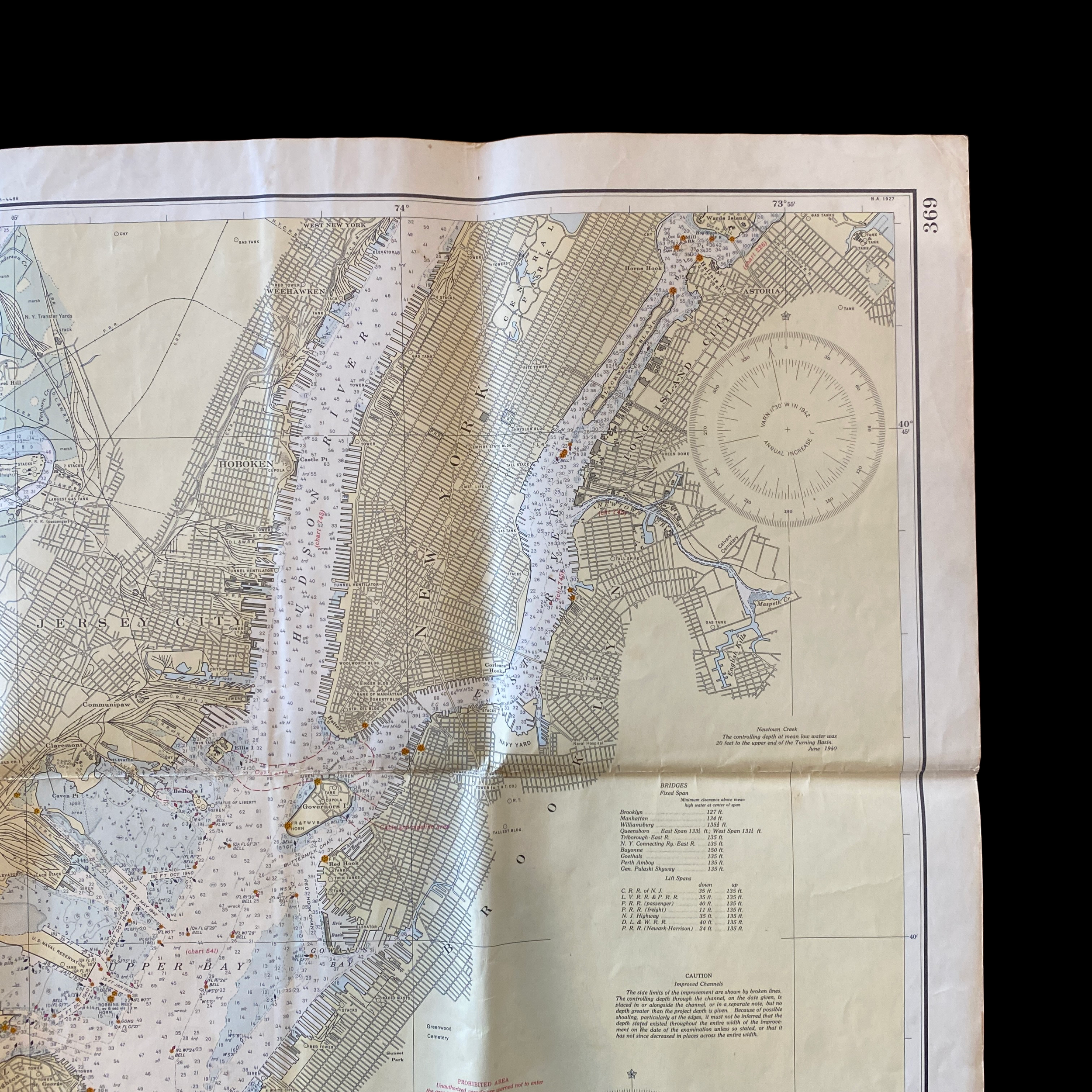
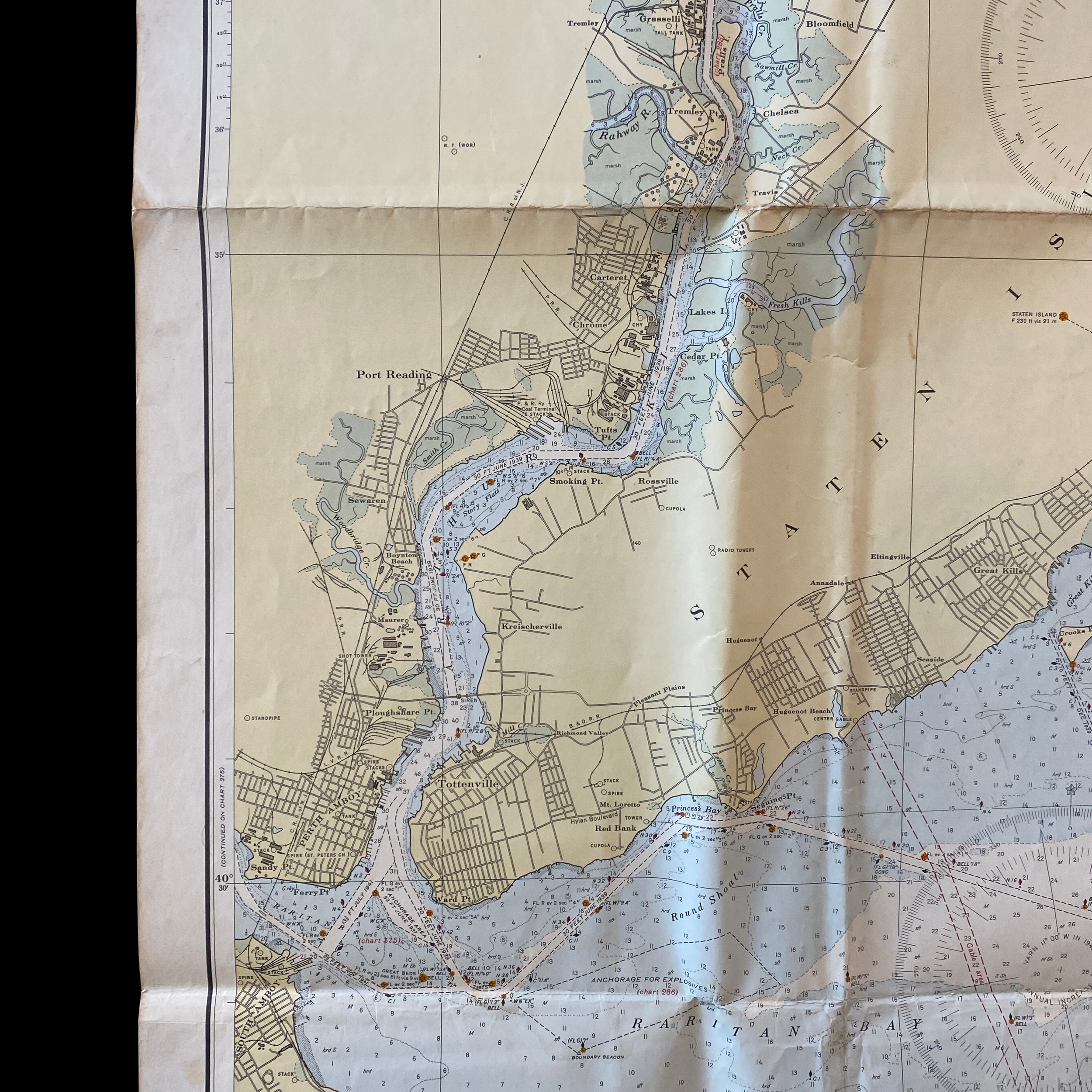
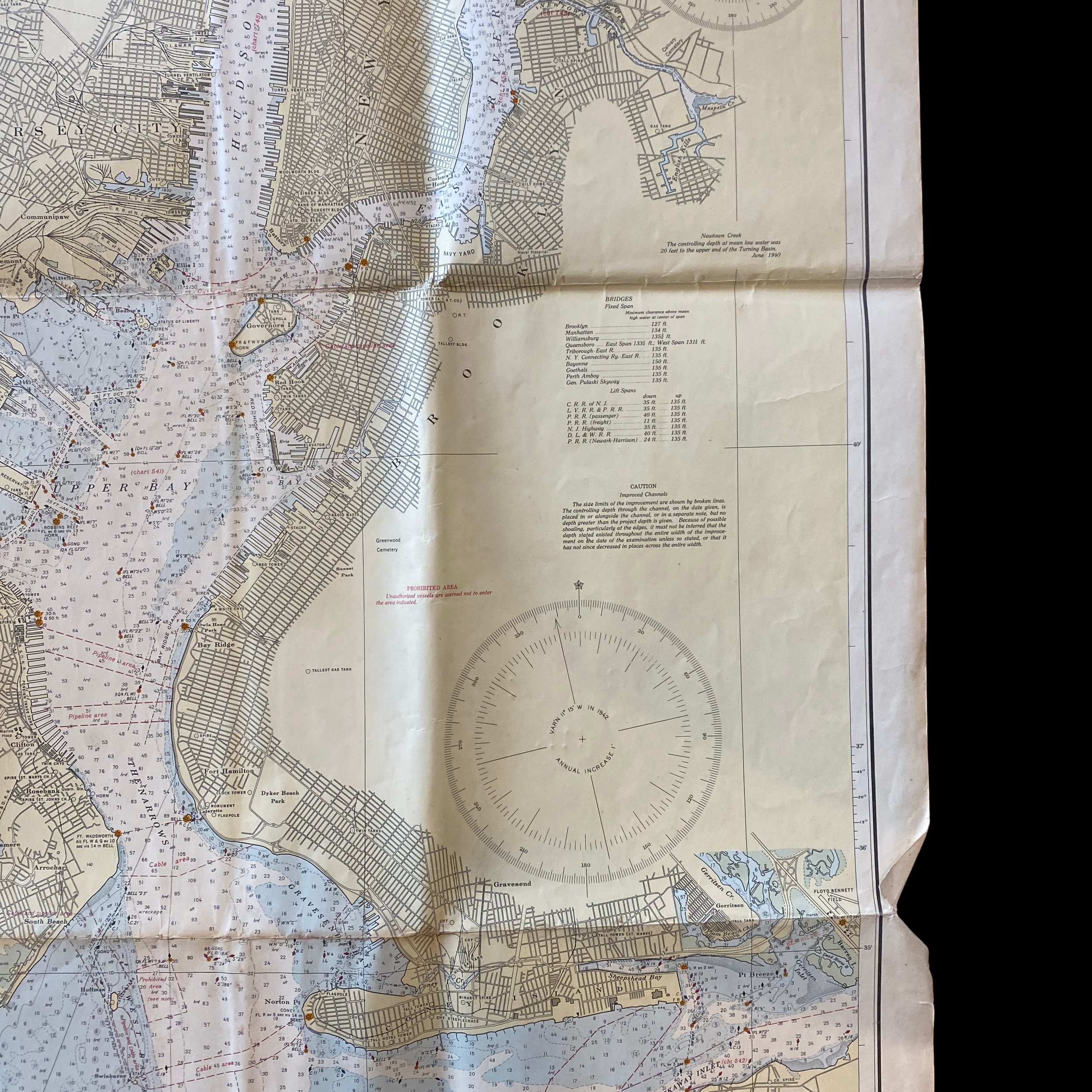
The United States Department of Commerce is responsible for promoting economic growth and development, and one of the ways it does this is by creating and maintaining detailed maps of the country's coastal waters. One such map, dating back to 1943, is the fathom and depth chart of Blue Hill Bay in Maine.
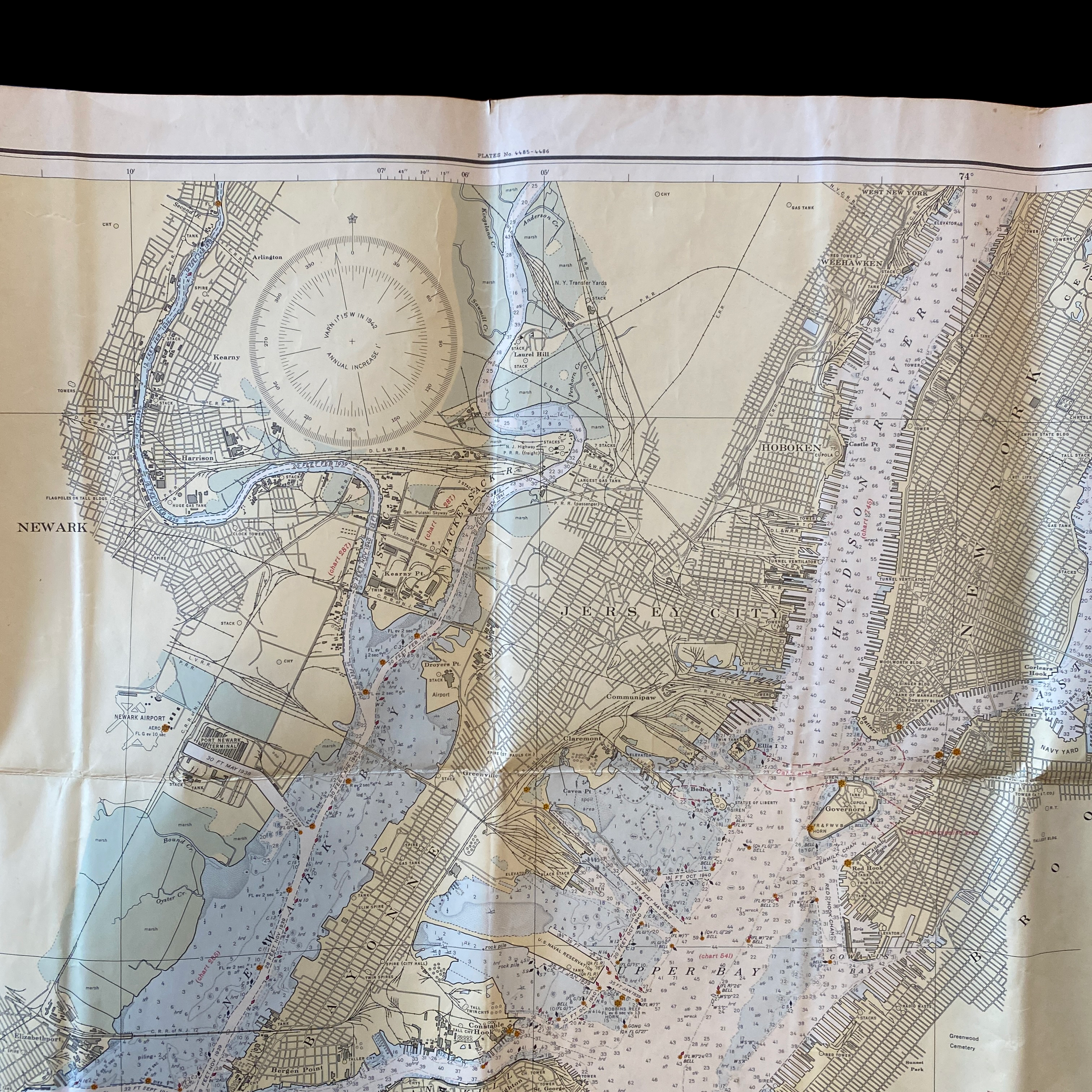
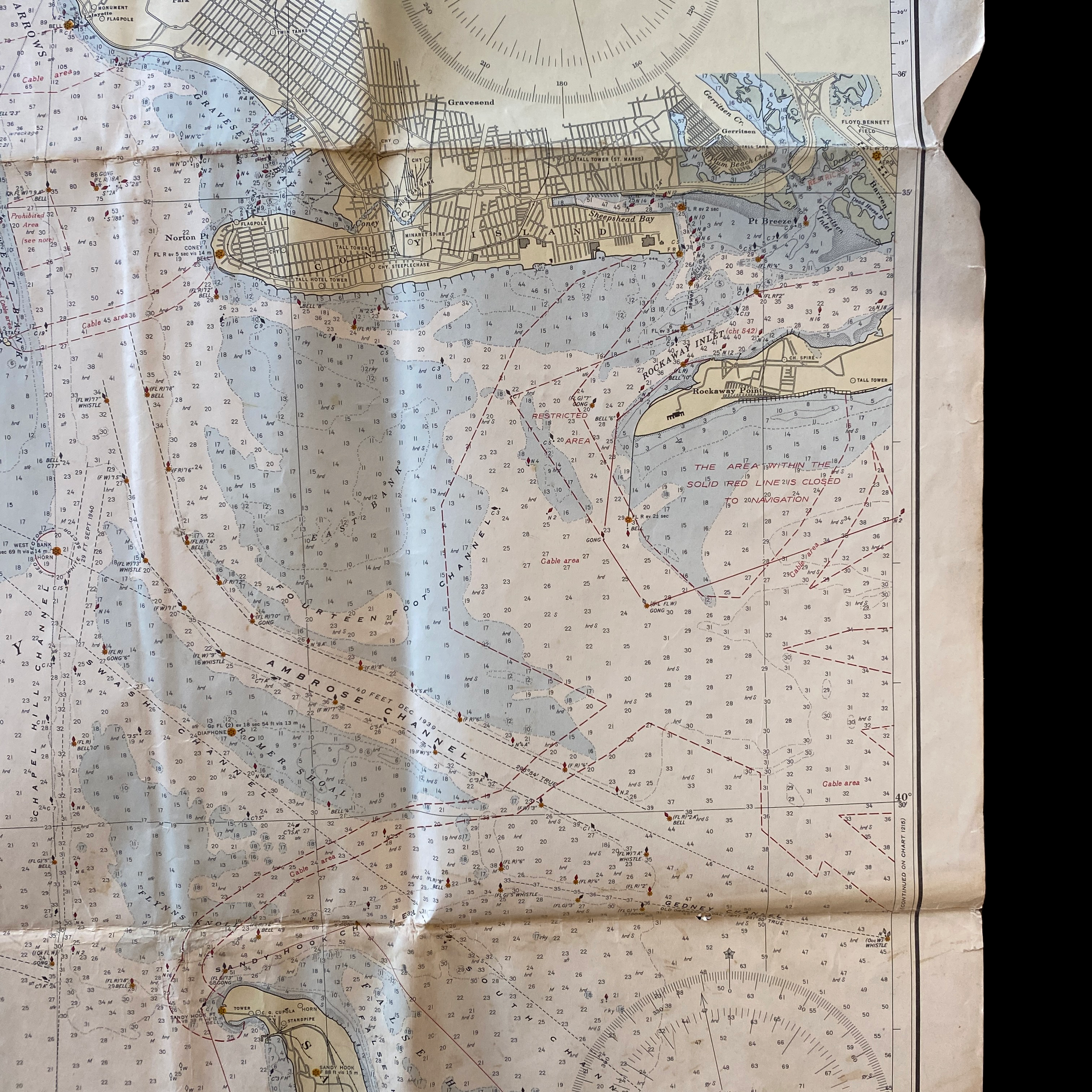
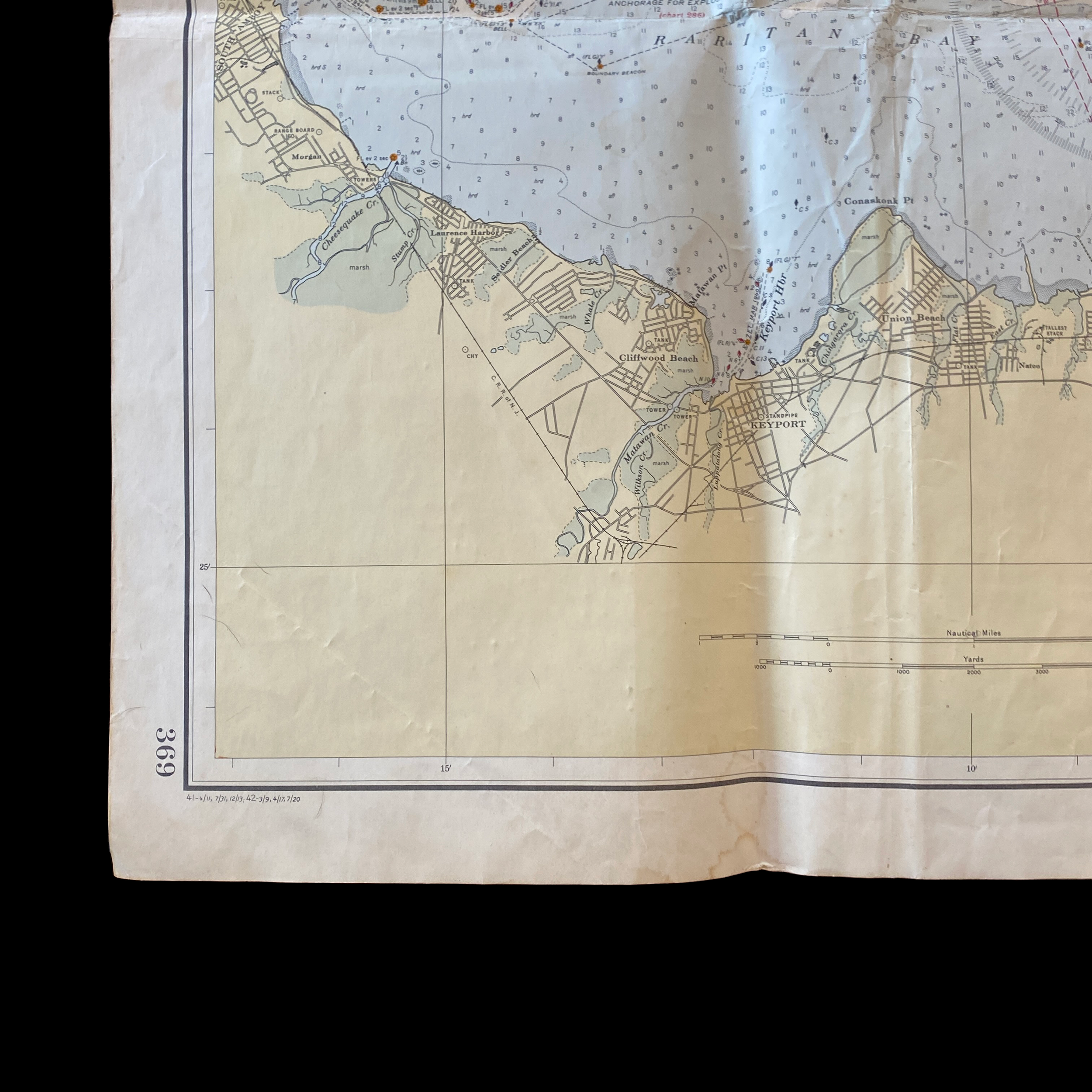
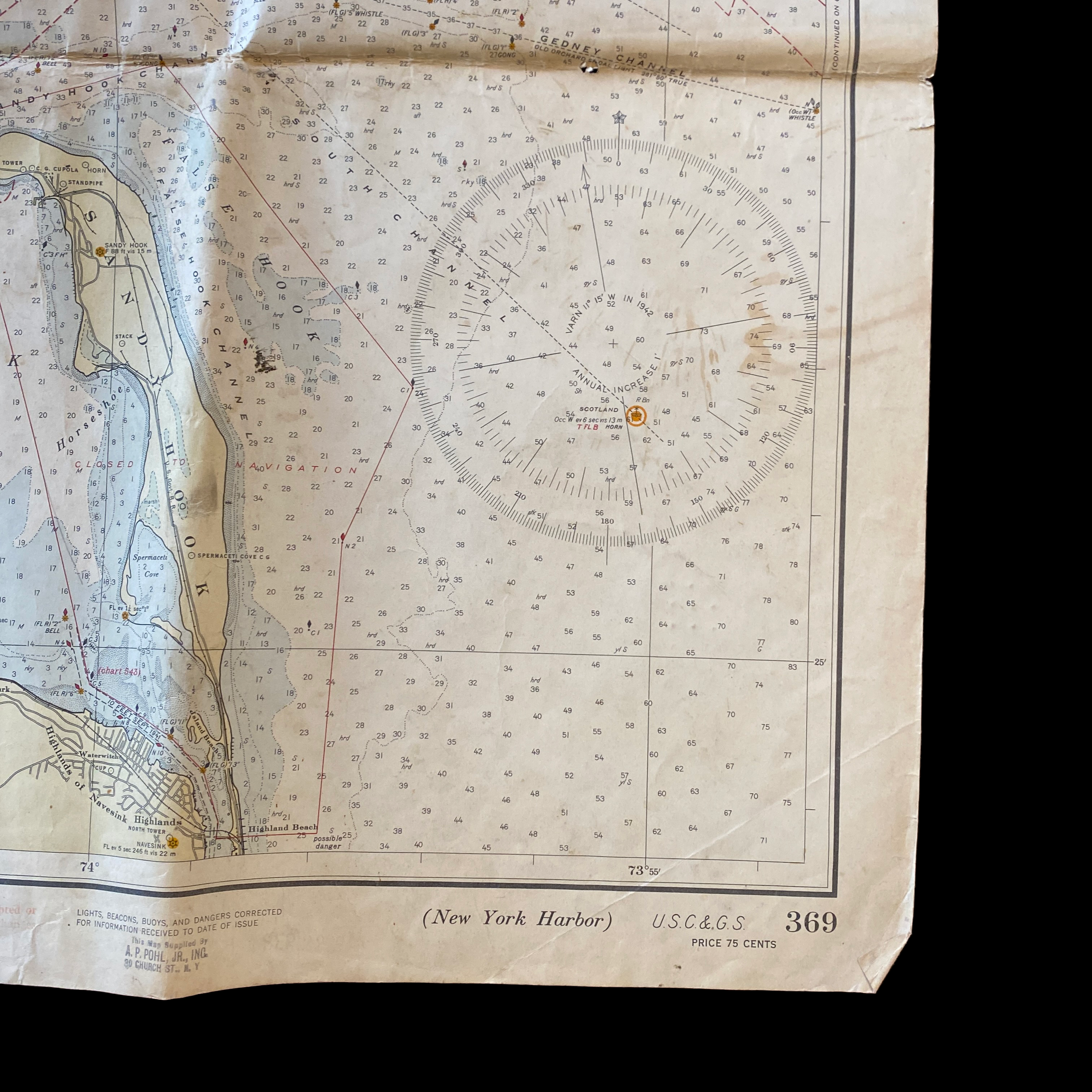
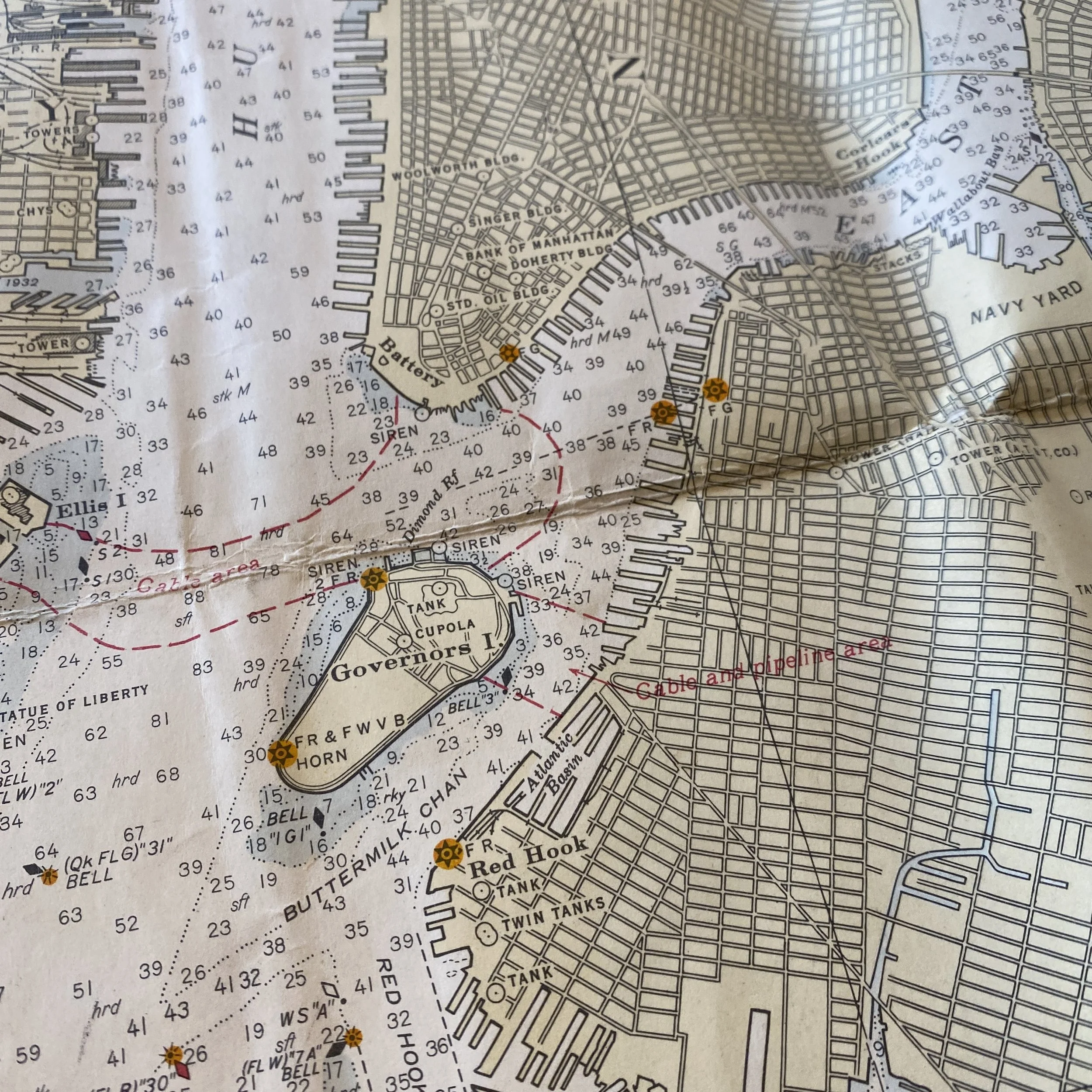
This map is a technical document that is designed to assist mariners in navigating the bay. It shows the depths of the water in various locations, as well as any hazards or obstacles that may be present. The map uses a system of contour lines to indicate the depths, with each line representing a specific depth in fathoms (a unit of measurement used for water depth, equal to 6 feet). This allows mariners to quickly and easily determine how deep the water is in any given location and make adjustments to their course accordingly.
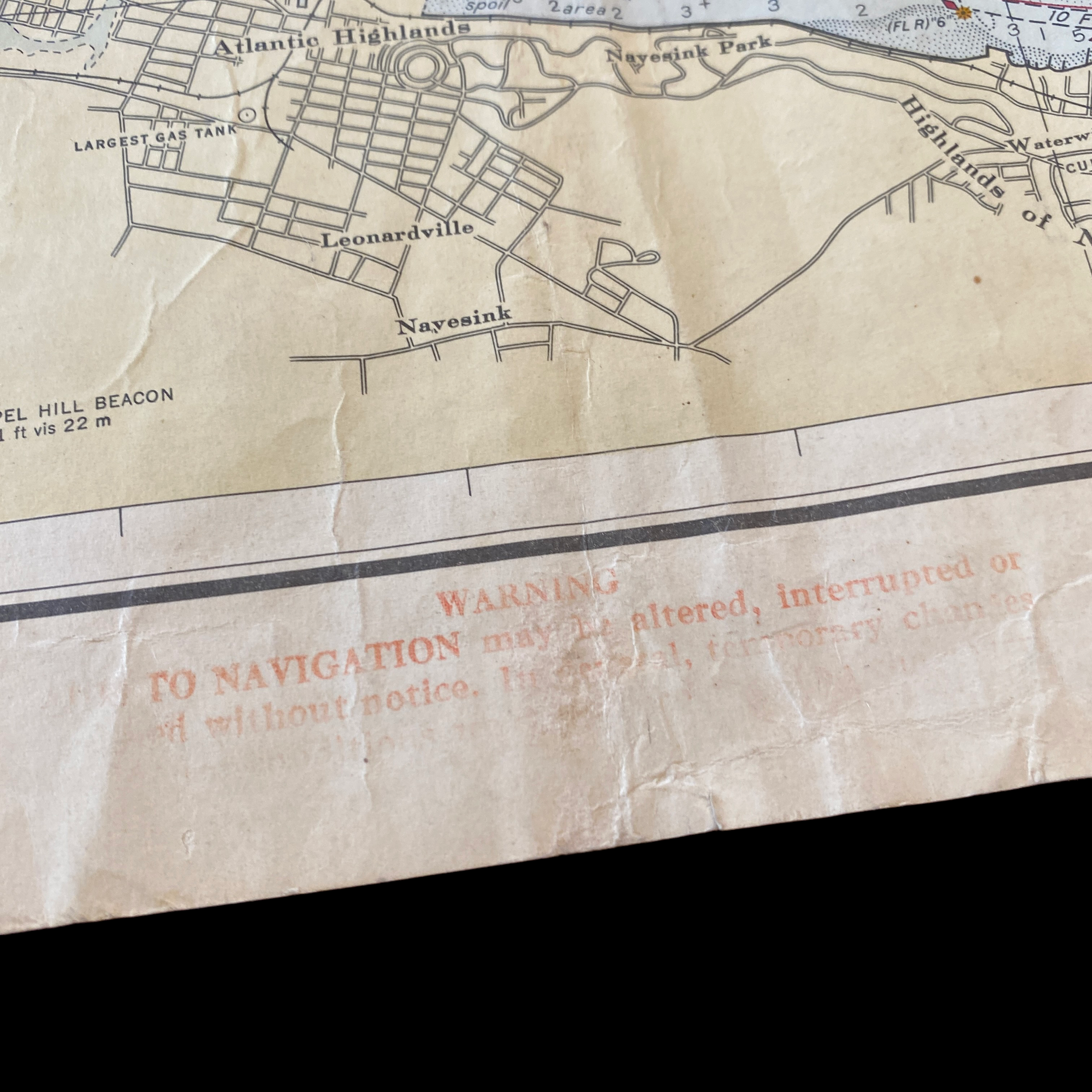
The map also includes detailed information about the layout of the bay, including the location of shoals, rocks, and other hazards. This is particularly important for mariners who are unfamiliar with the area, as it helps them to avoid potential dangers and stay safe while navigating. Additionally, the map includes the location of buoys, lighthouses, and other navigational aids, which can be used to help mariners stay on course and find their way.
The map is also useful for other purposes beyond navigation. For example, it can be used by fishermen to identify productive fishing grounds, or by scientists to study oceanography. The map can be used to study the bathymetry (topography of the sea floor) and geomorphology of the ocean.
It is clear that the fathom and depth chart of Blue Hill Bay in Maine, created by the United States Department of Commerce in 1943, was an important tool for mariners of that time, and it is a valuable historical document that gives insight into how our coastal waters were navigated in the past. Today, this map is still useful for recreational boaters, commercial fisherman and for academic research.
Overall, this map is an important piece of history that gives insight into the development of our coastal waters and the ways in which they have been used and understood over time. It also serves as a reminder of the importance of accurate and detailed mapping in promoting economic growth, safety, and scientific research.
In 1943, the United States was in the midst of World War II, and the country's focus was primarily on the war effort. Despite this, the U.S. Department of Commerce continued to play an important role in promoting economic growth and development, including in the coastal town of Blue Hill Bay in Maine.
During this time, Blue Hill Bay was a bustling hub of commercial activity, particularly in the fishing and shipbuilding industries. The bay was home to a large number of fishing vessels, which were used to catch a wide variety of fish and seafood, including lobsters, scallops, and cod. The shipbuilding industry in Blue Hill Bay was also thriving, as the demand for ships and boats to support the war effort was high.
The U.S. Department of Commerce, through its various agencies and programs, played an important role in supporting these industries in Blue Hill Bay. The Bureau of Fisheries, for example, worked to ensure that the fishing industry in the bay was sustainable and productive, by conducting research on fish populations and providing assistance to fishermen. The Bureau of Ships provided technical assistance and support to the shipbuilding industry, helping to ensure that the ships and boats being built in Blue Hill Bay were of high quality and met the needs of the war effort.
Additionally, the Department of Commerce was also responsible for promoting the export of goods from Blue Hill Bay and the surrounding area. During this time, the U.S. was a major supplier of fish and seafood to the allied countries, and the Department of Commerce played an important role in facilitating these exports. This not only helped to support the war effort, but it also helped to boost the local economy in Blue Hill Bay.
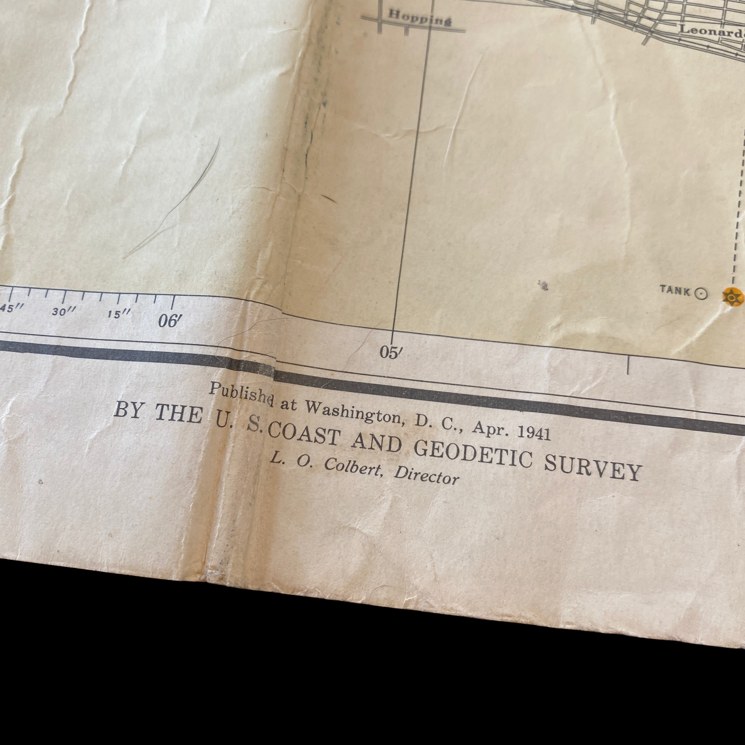
The Department of Commerce also played a role in ensuring the safety of navigation in Blue Hill Bay. The Coast and Geodetic Survey, an agency of the Department of Commerce, was responsible for creating and maintaining nautical charts and maps of the coast, which were essential for ensuring the safety of navigation in the bay. These charts and maps were used by mariners to navigate the waters of the bay, and they helped to reduce the risk of accidents and loss of life.
In addition to these specific efforts, the Department of Commerce also worked to promote economic growth and development in Blue Hill Bay through various other programs and initiatives. For example, it provided funding for infrastructure projects and supported small businesses through its Small Business Administration.
Overall, it is clear that the U.S. Department of Commerce played a significant role in supporting the economic growth and development of Blue Hill Bay in 1943. Through its various agencies and programs, it helped to ensure that the fishing and shipbuilding industries were productive, promoted exports, ensured the safety of navigation and supported local economy. Its efforts not only helped to support the war effort, but also helped to build a strong foundation for the continued prosperity of the area in the years to come.