'Showa' 1941 Dated Japanese Southern Pacific Theater Officer Air, Naval and Submarine Map


'Showa' 1941 Dated Japanese Southern Pacific Theater Officer Air, Naval and Submarine Map
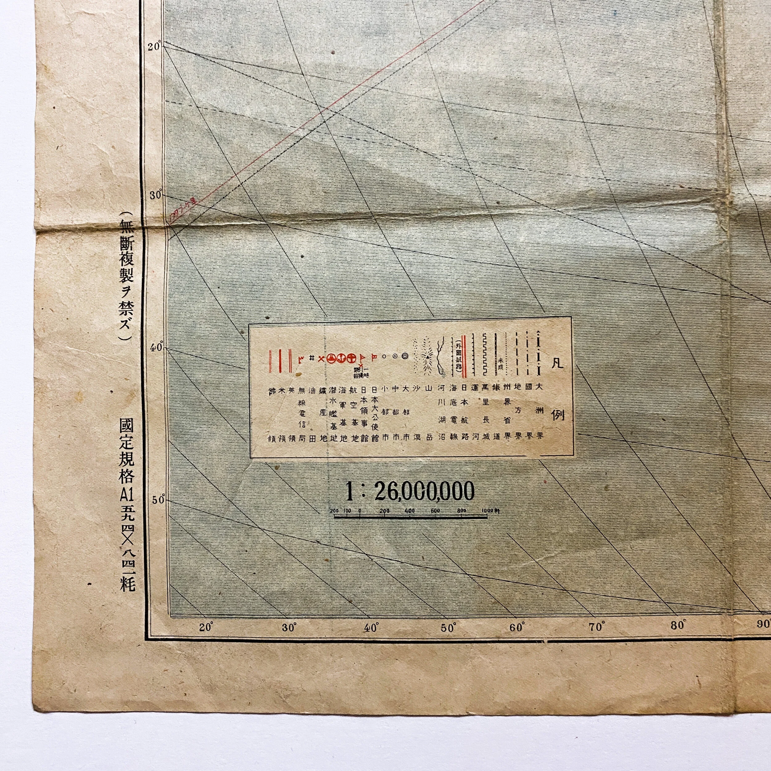
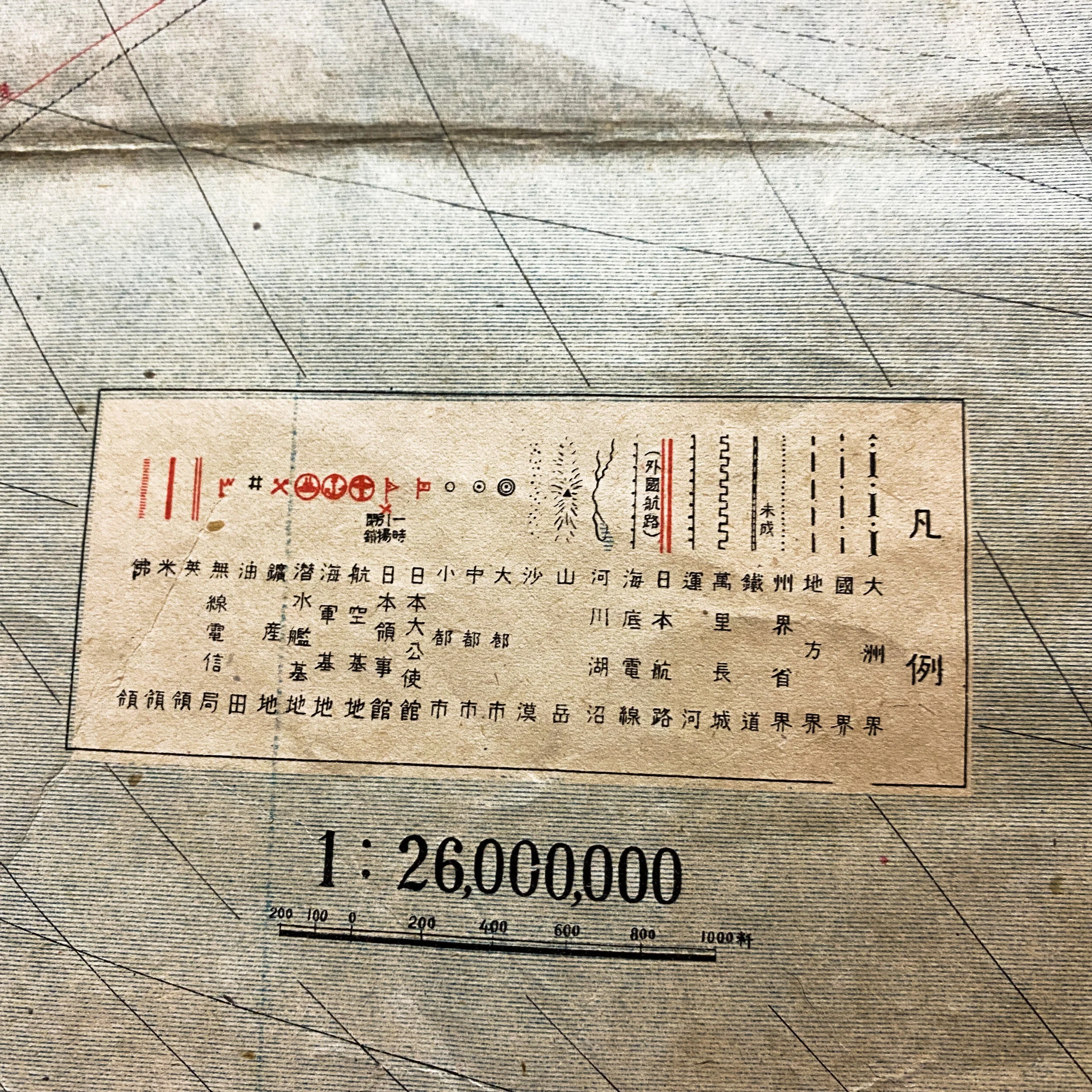
Size: 23 x 32.5 inches
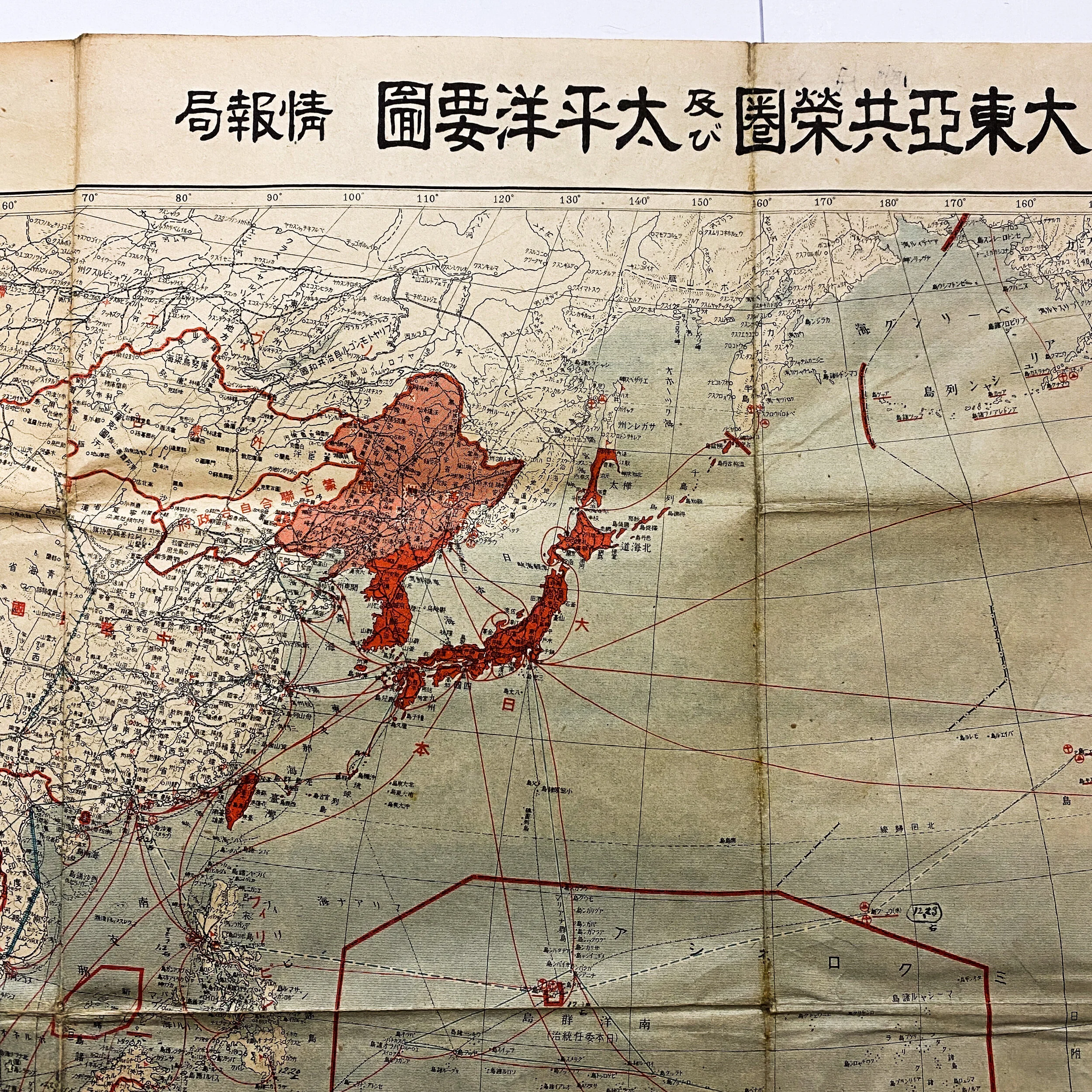
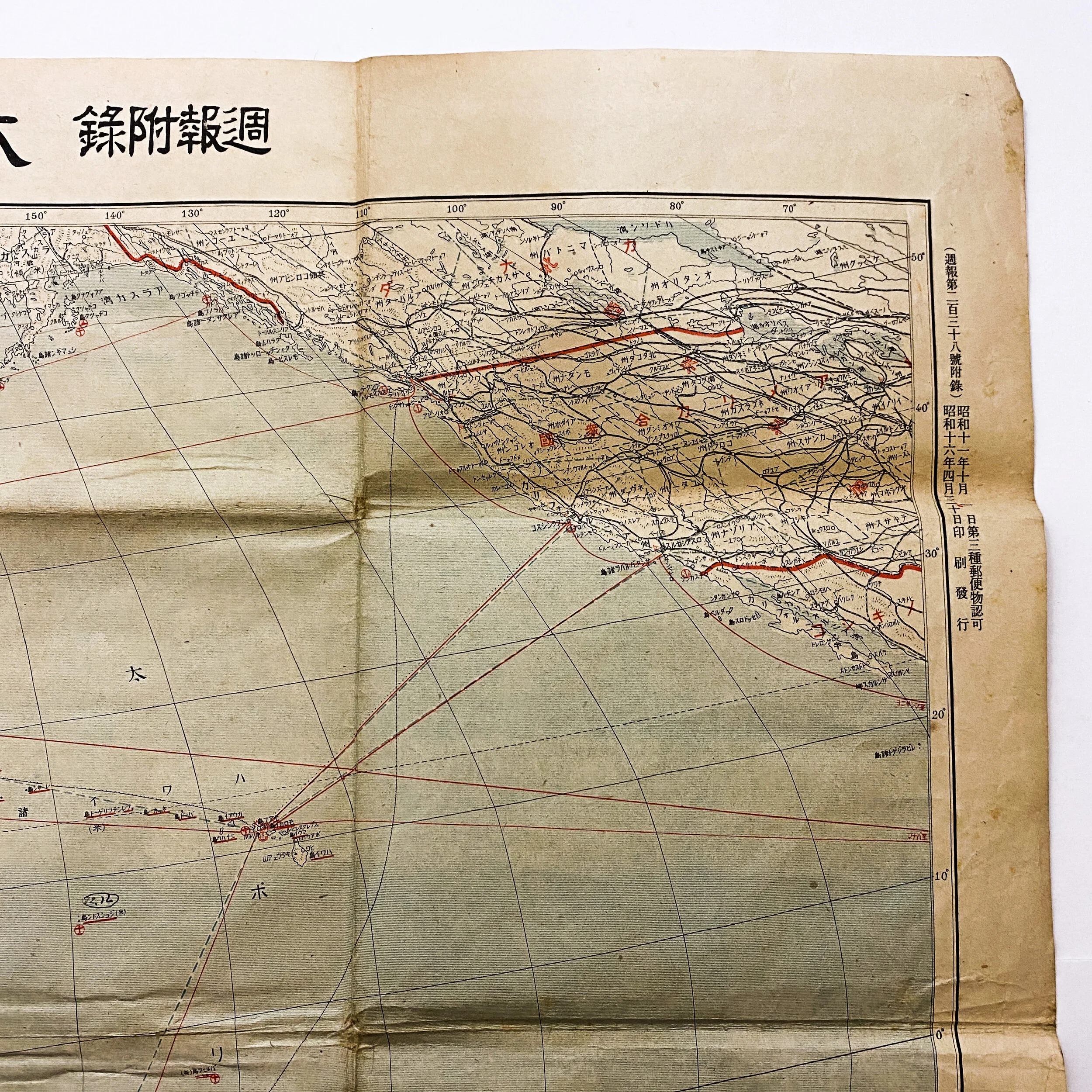
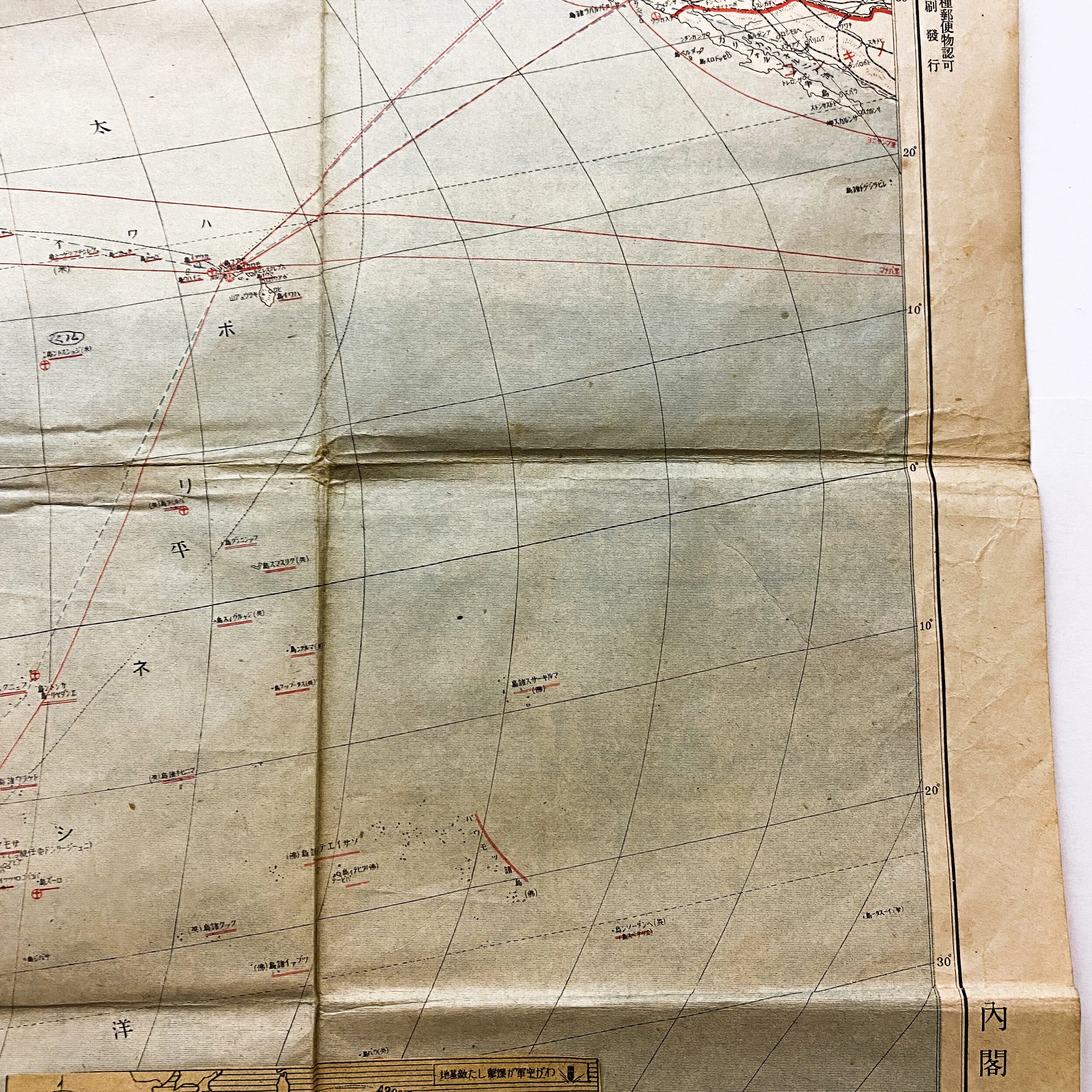
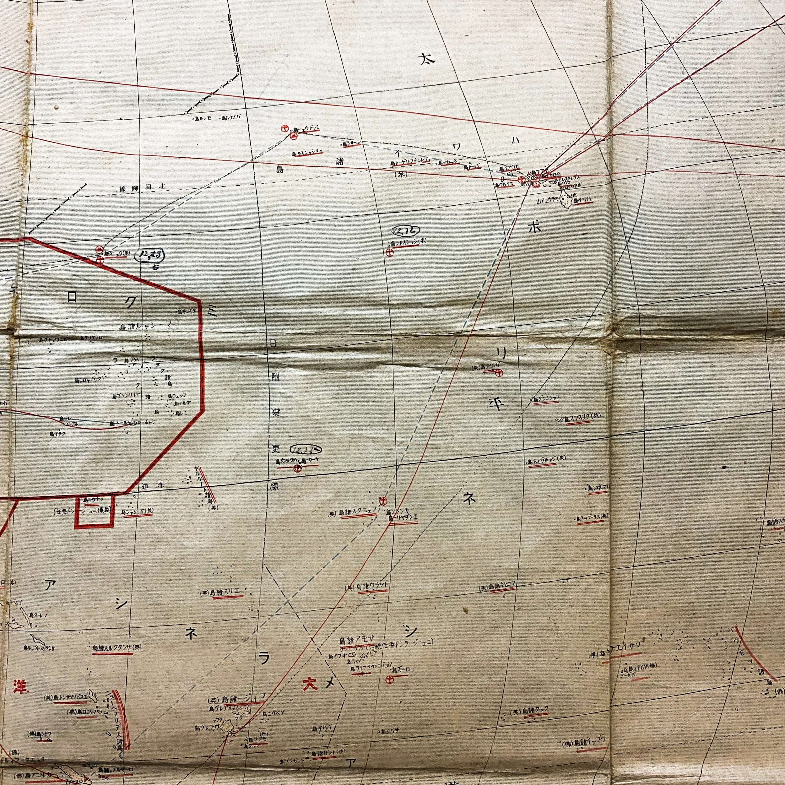
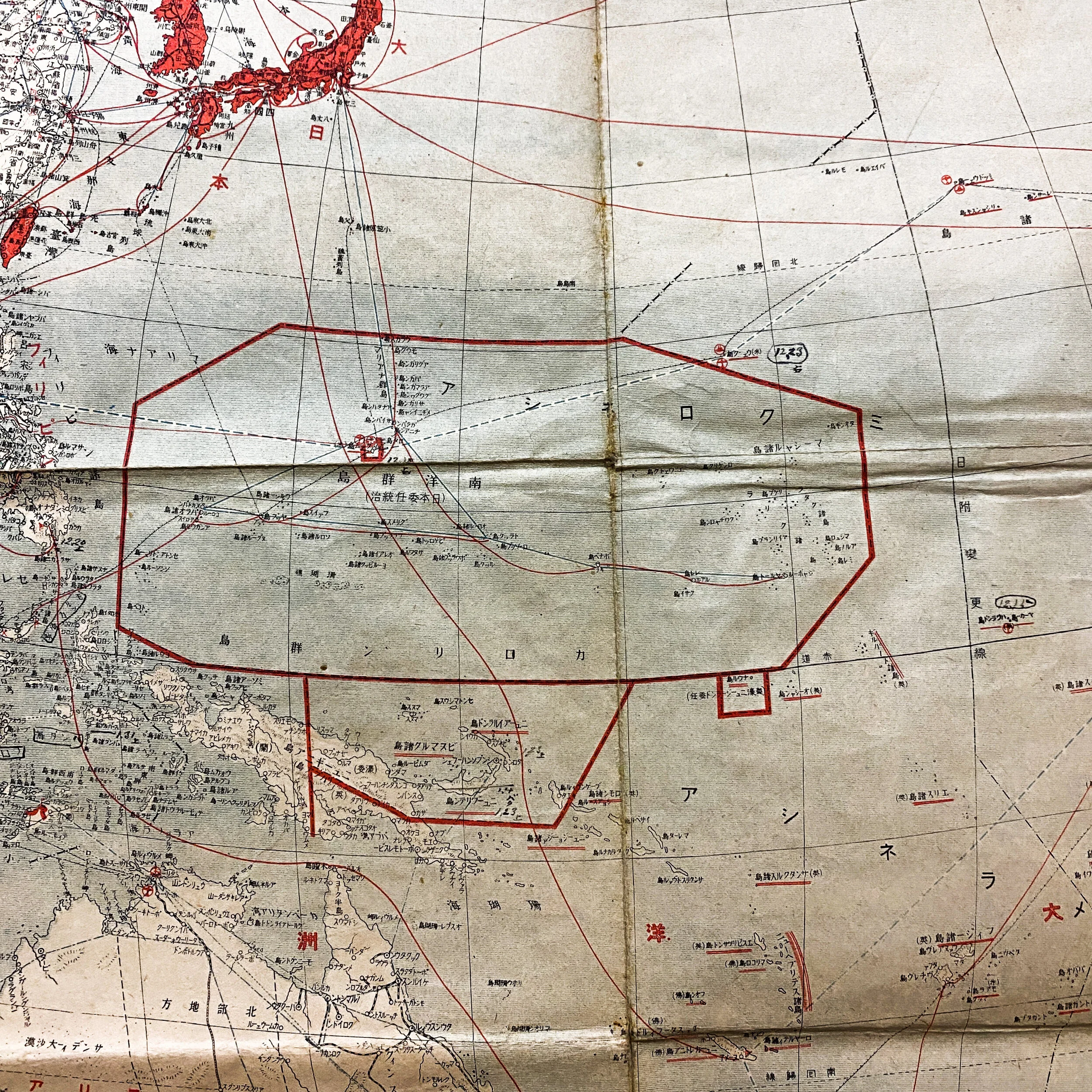
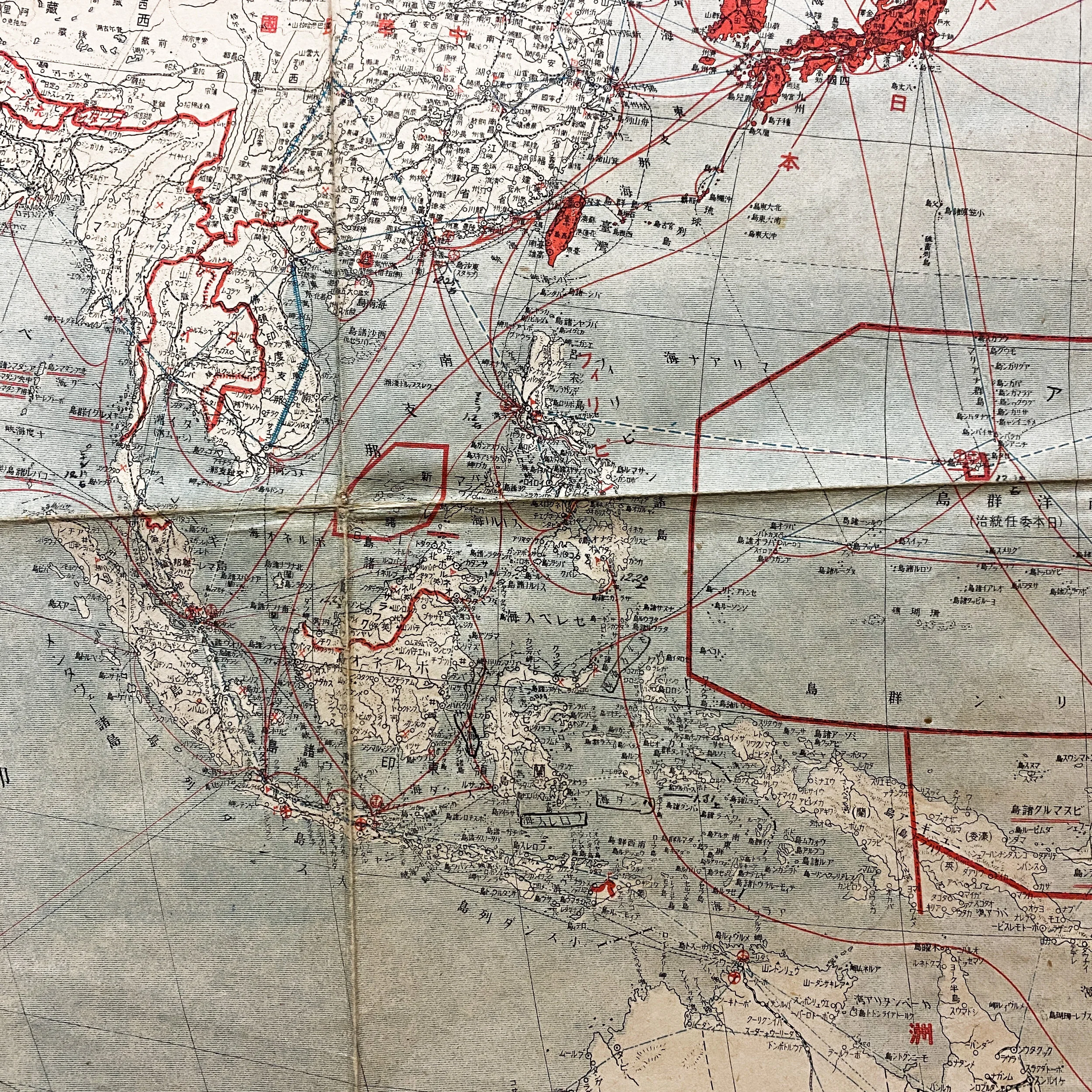
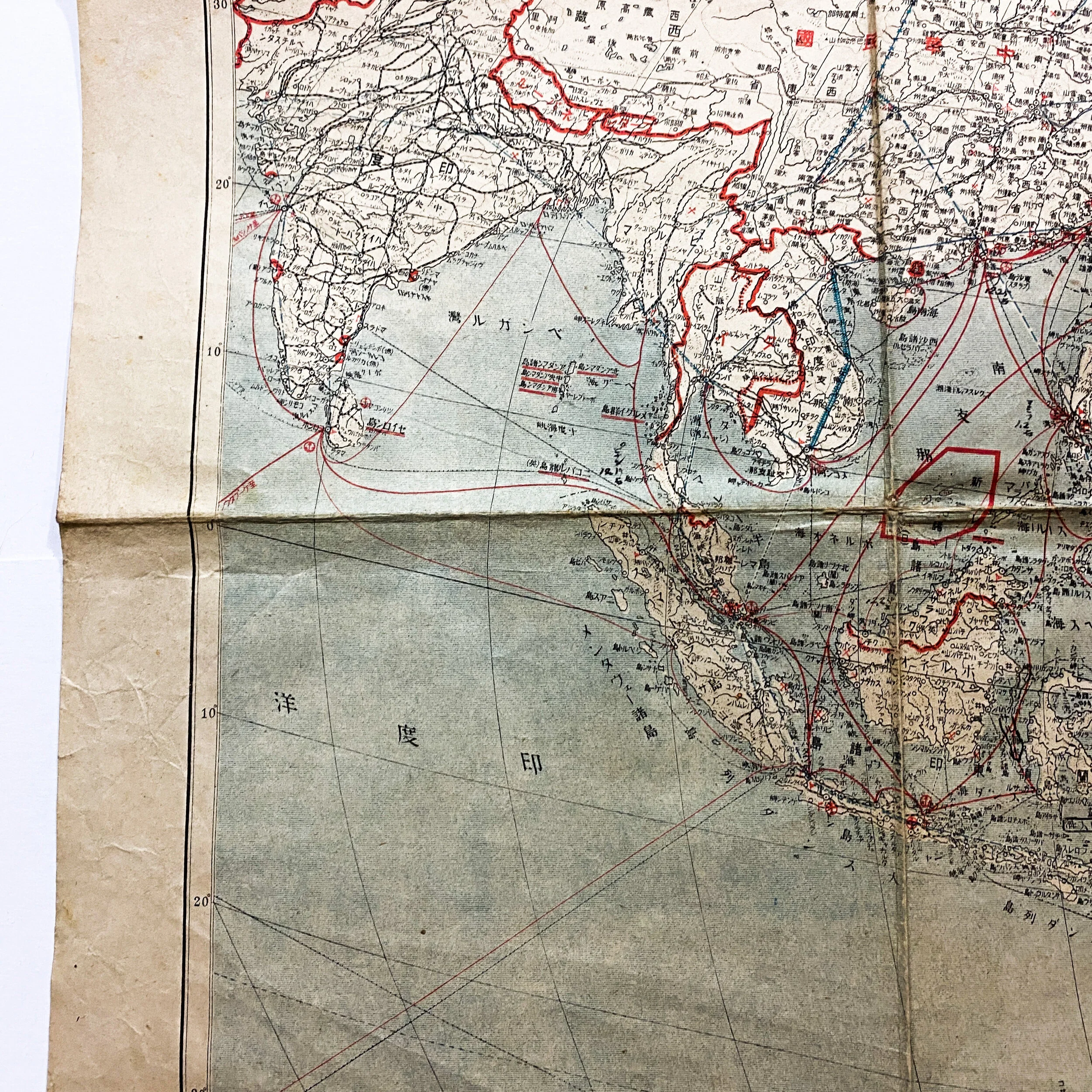
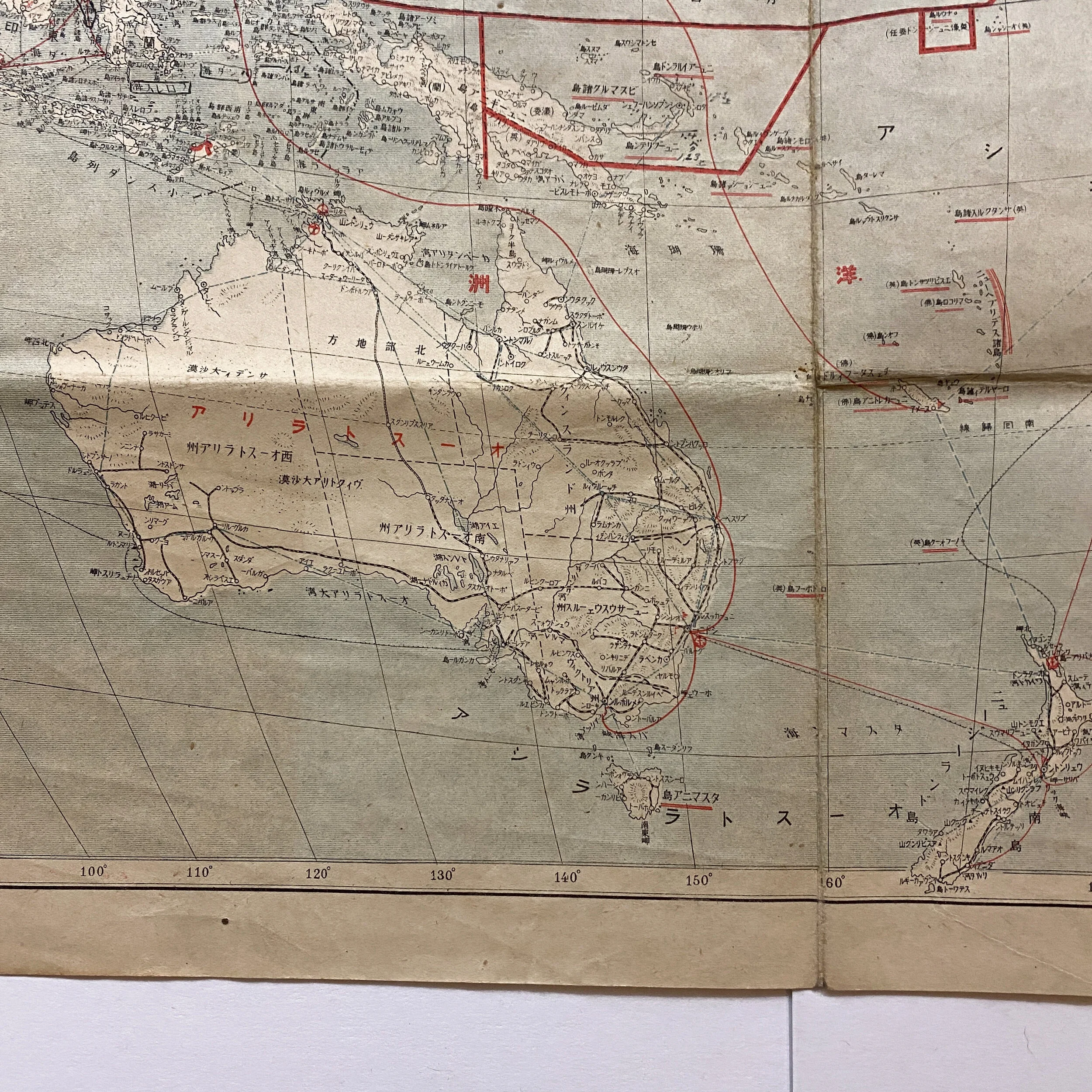
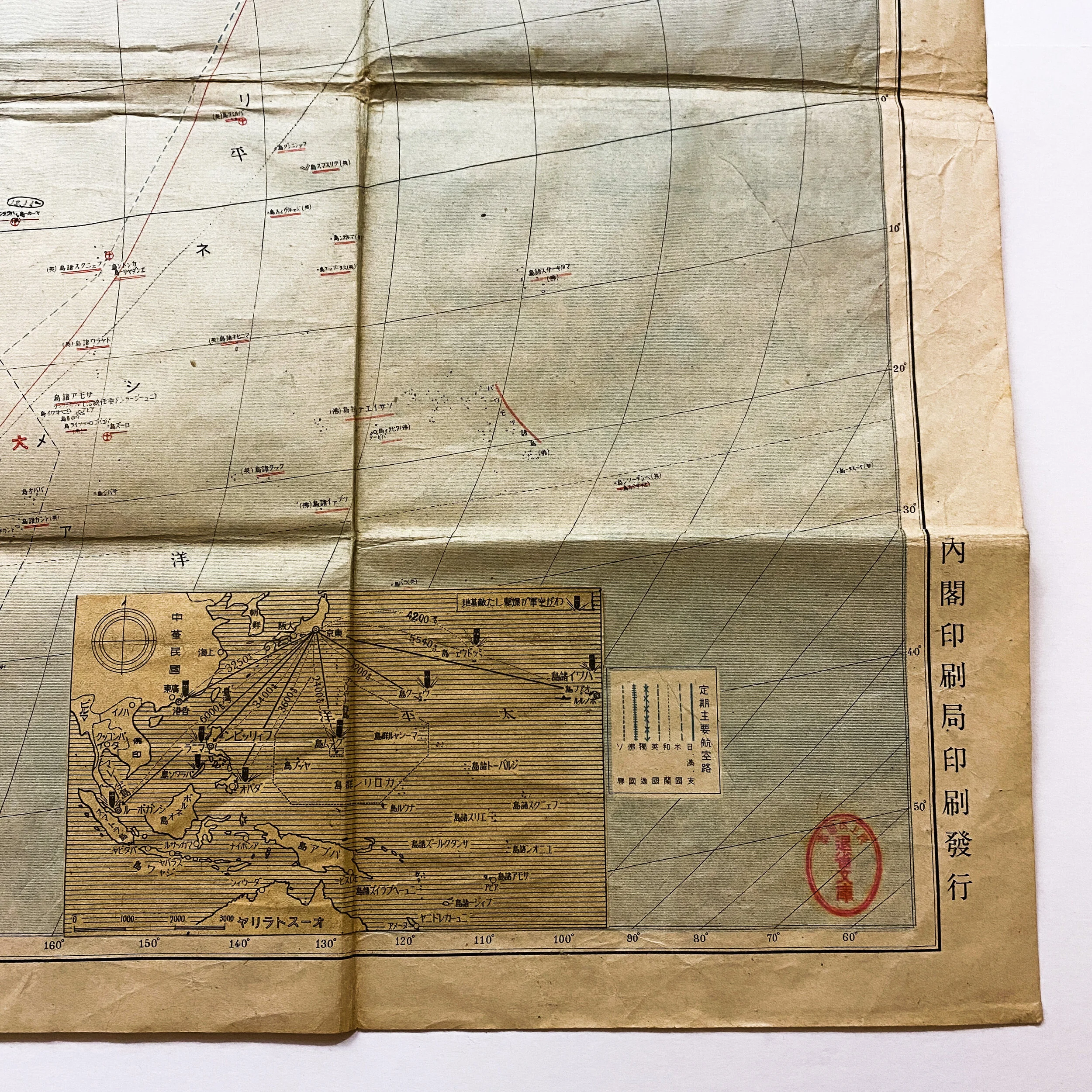
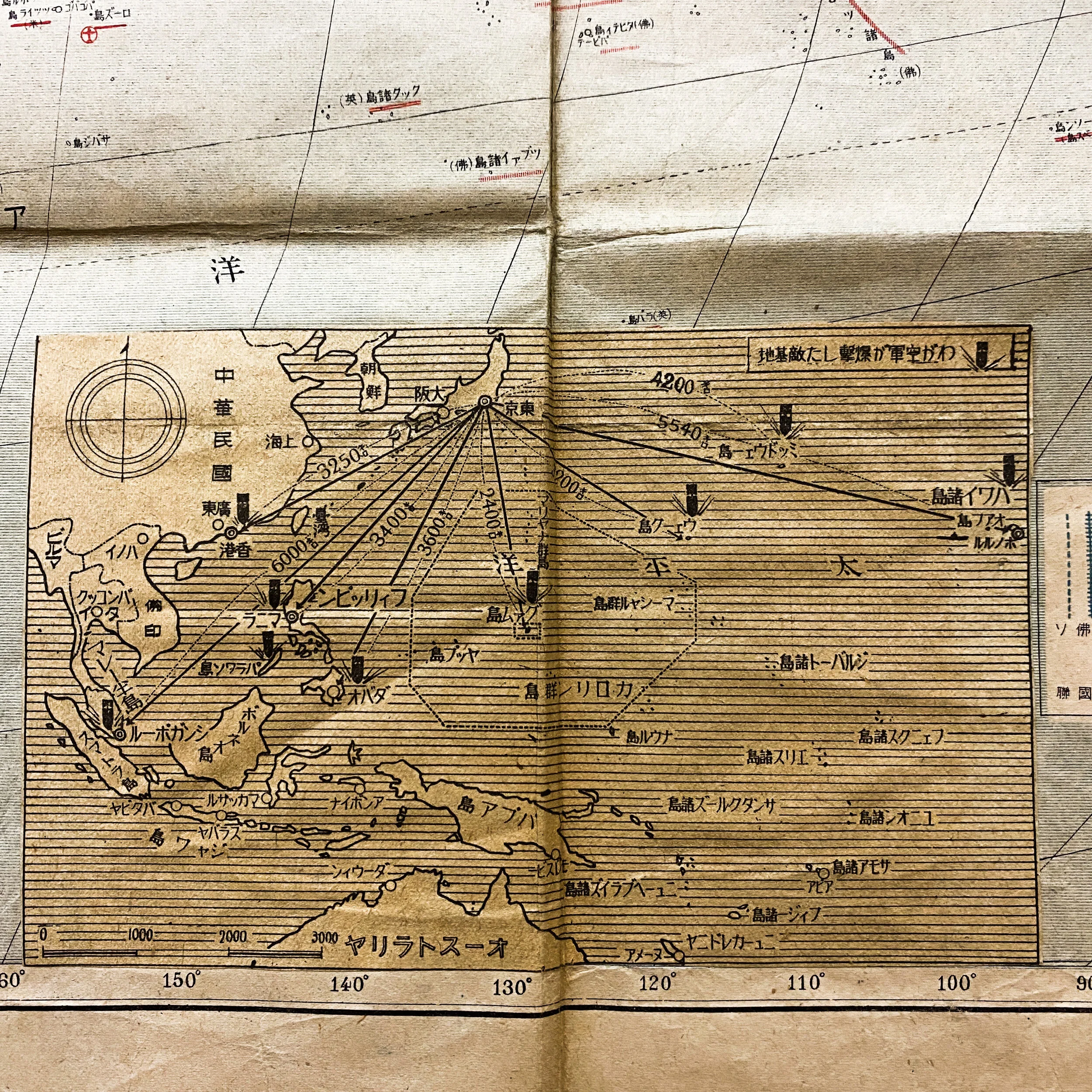
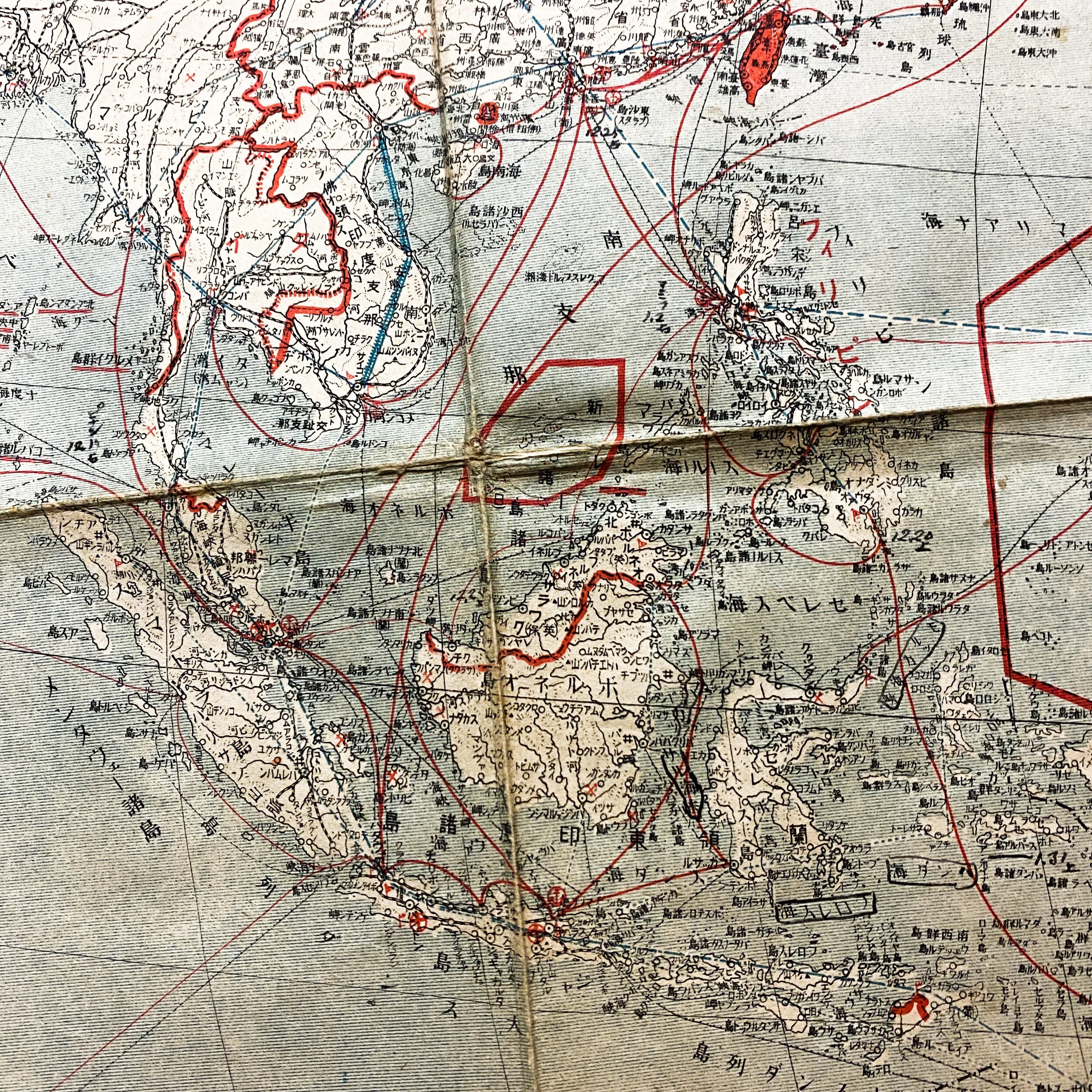
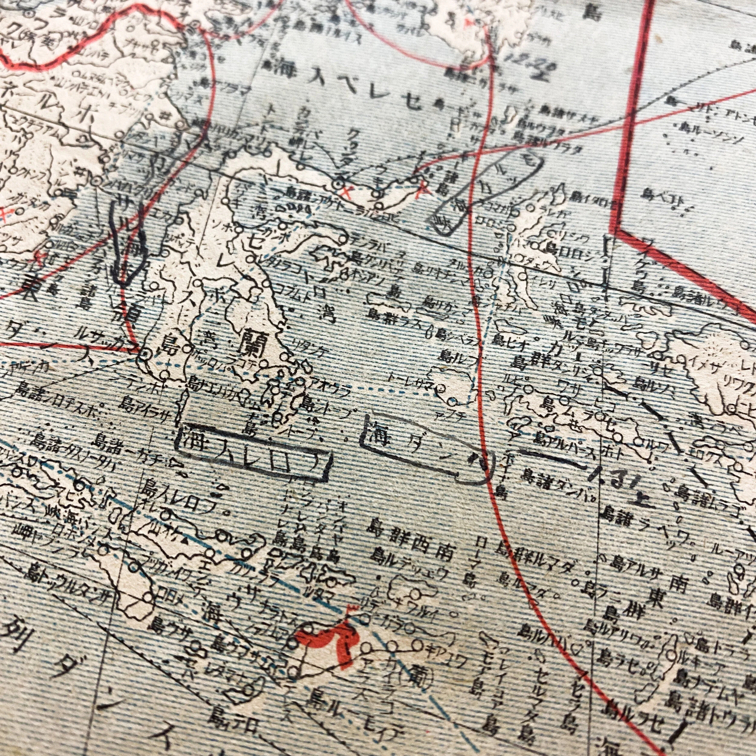
This rare WWII U.S. captured ‘Showa Era’ 1941 dated Japanese map shows the Southern co-prosperity sphere including confidential Japanese air, naval and submarine bases as well as confidential Japanese routes from as far south as Allied occupied Australia, as far north the mainland of Japan, and as far East as the Unites States up to Chicago. This early war map shows the major strategic bases operated and used by the Japanese as they began to take inlands located in the Pacific.
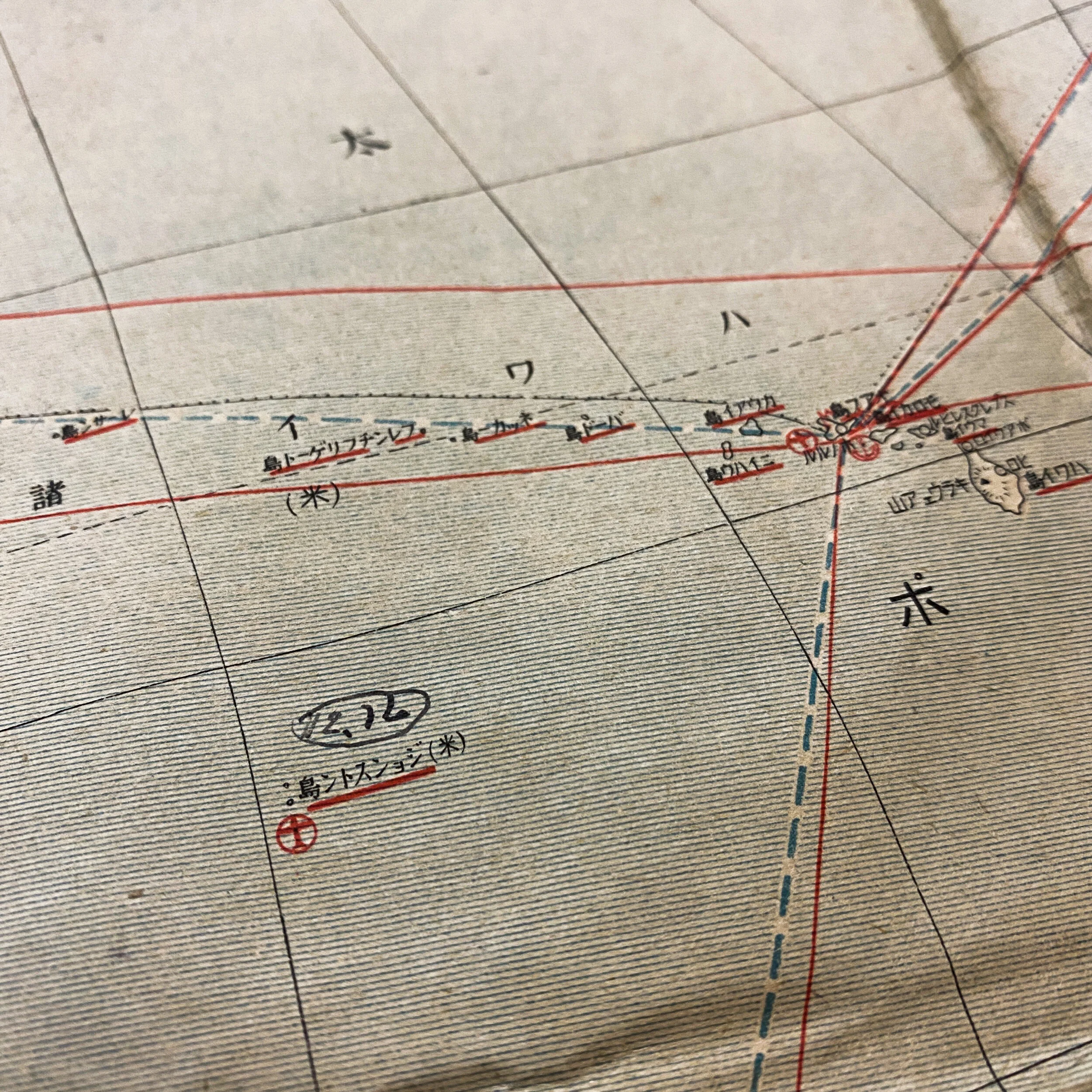
This map is extremely rare in that it shows the US island of Hawaii and is marked in red showing the location of the US air and naval bases on the island of Oahu and Pearl Harbor. The map shows the exact path that Japanese Naval ships would take from the mainland of Japan as well as other near by island to reach the island of Oahu. The map also shows the eerie path Japanese forces would have taken in their path toward to western coast of the United States including possible amphibious landing points near Washington, and mid to lower sections of California.
While the exact location this map was captured is unknown it was sure to have played a pivotal role in the Japanese forces in the Pacific Theater as they pushed from island to island in the early parts of WWII. The map shows numerous other red airplane and anchor stamps on the Japanese occupied islands in the Southern Pacific Theater.
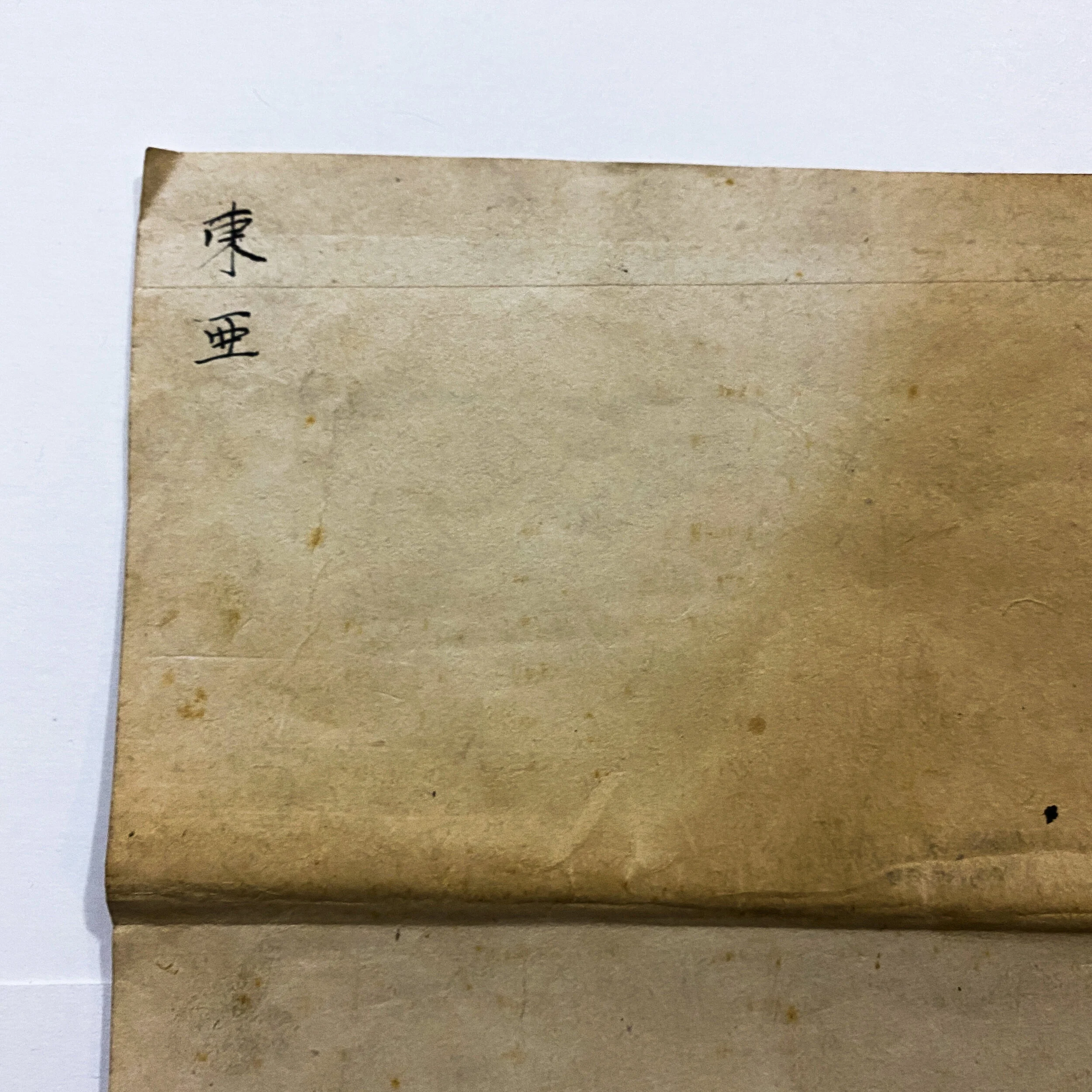
The map still maintains to original war stamps located in the lower right corner as well as ink kanji handwritten on the back of the map itself. All of the most notable island of the Pacific Theater are featured on this map which makes this a truly unique and rare piece of WWII history.