WWII Era Japanese Map of European Theater


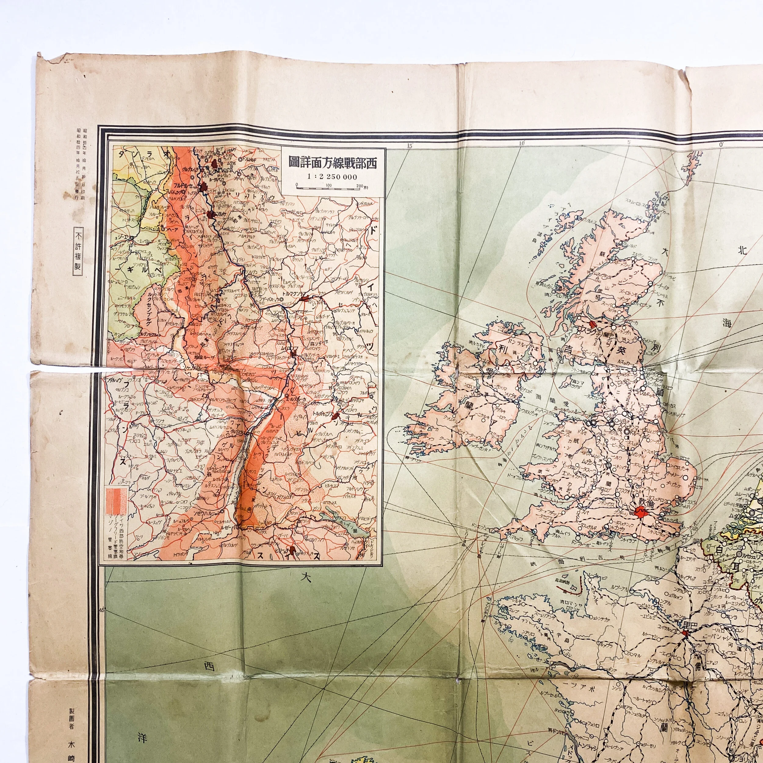
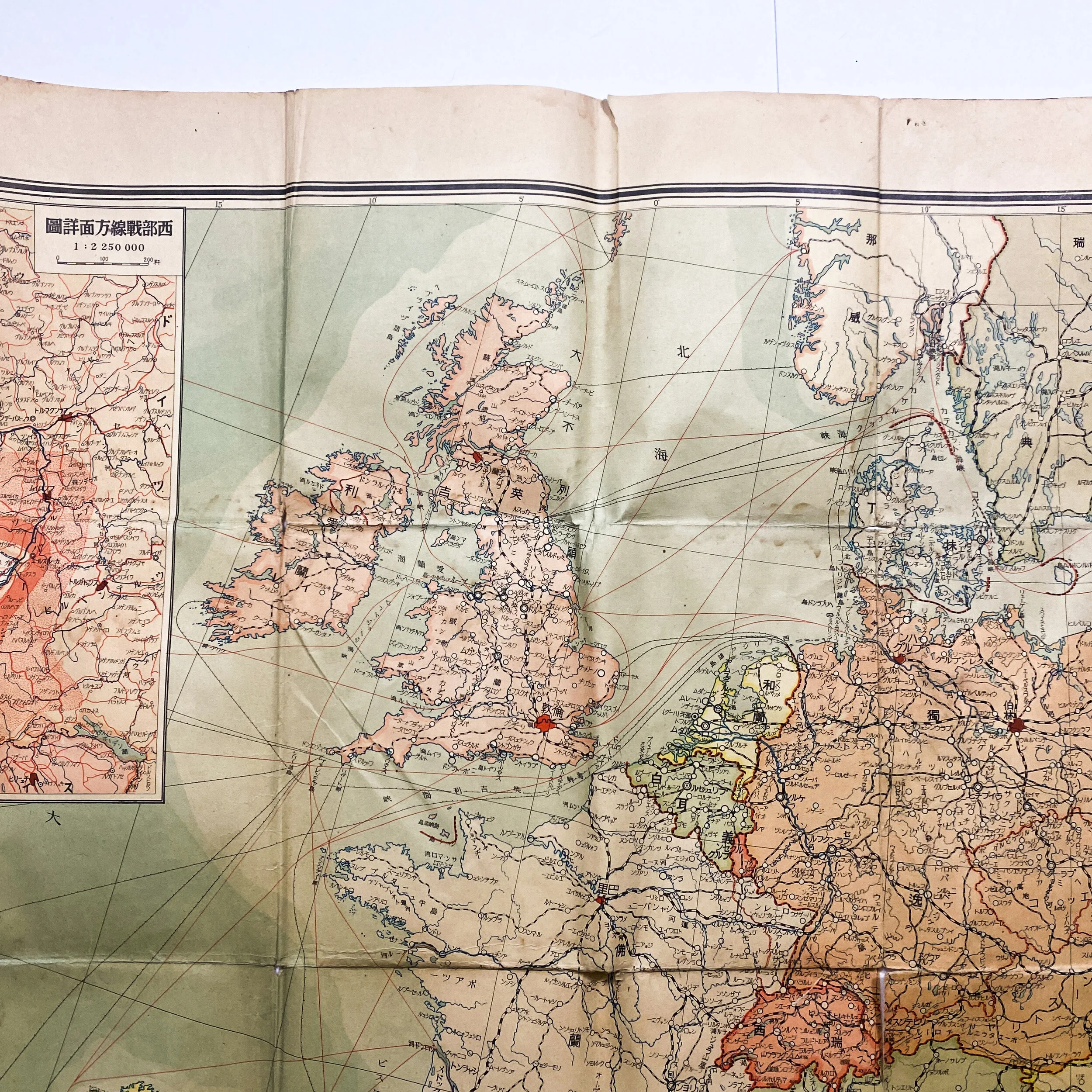
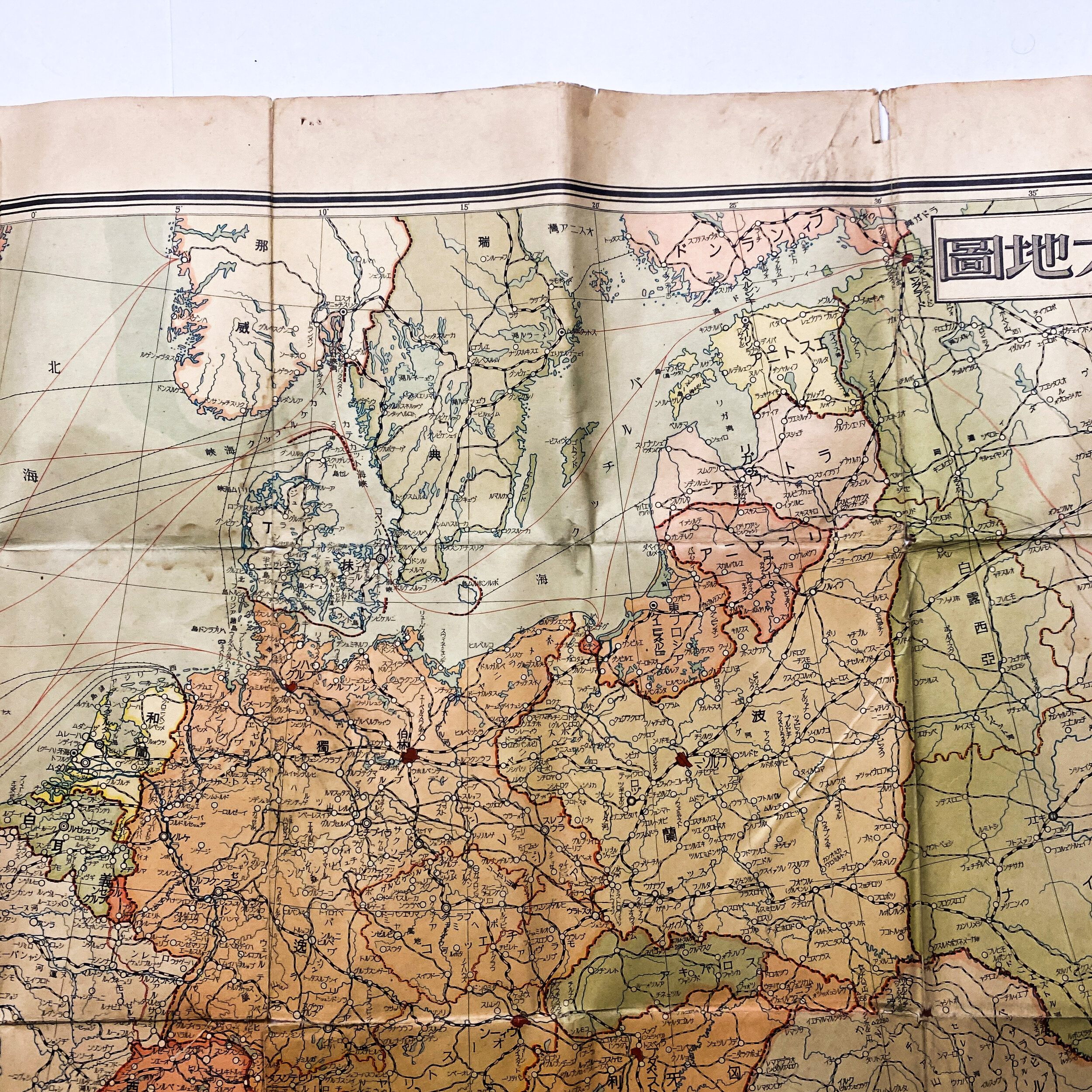

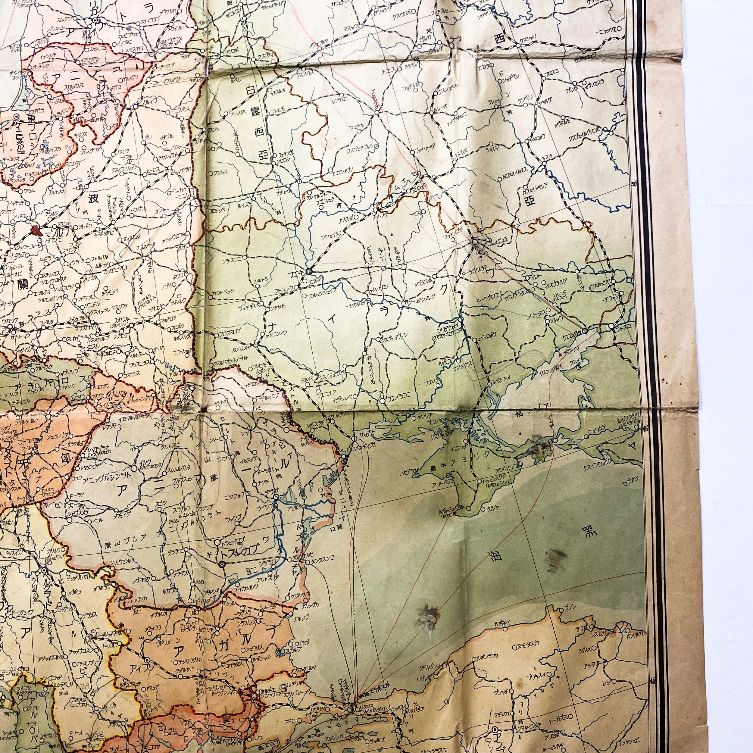
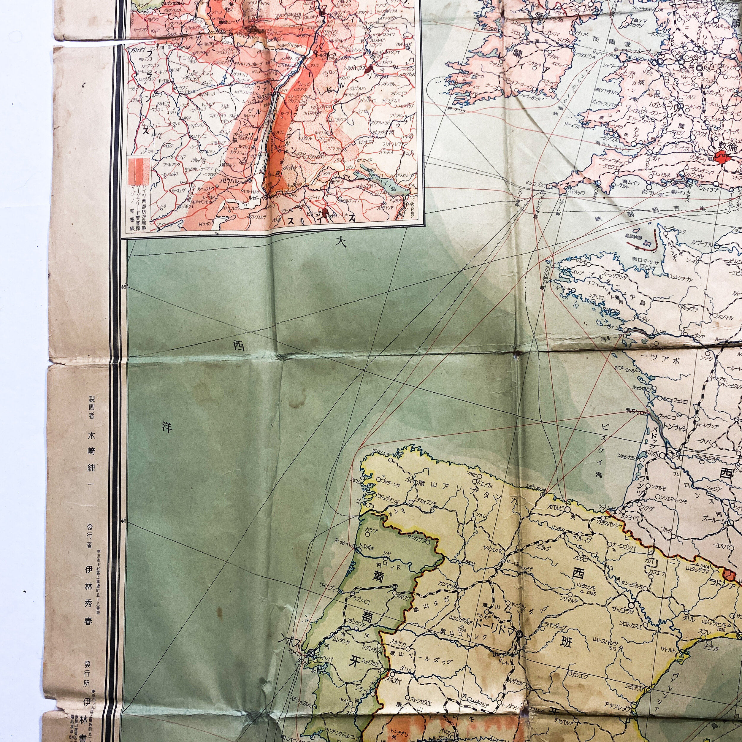
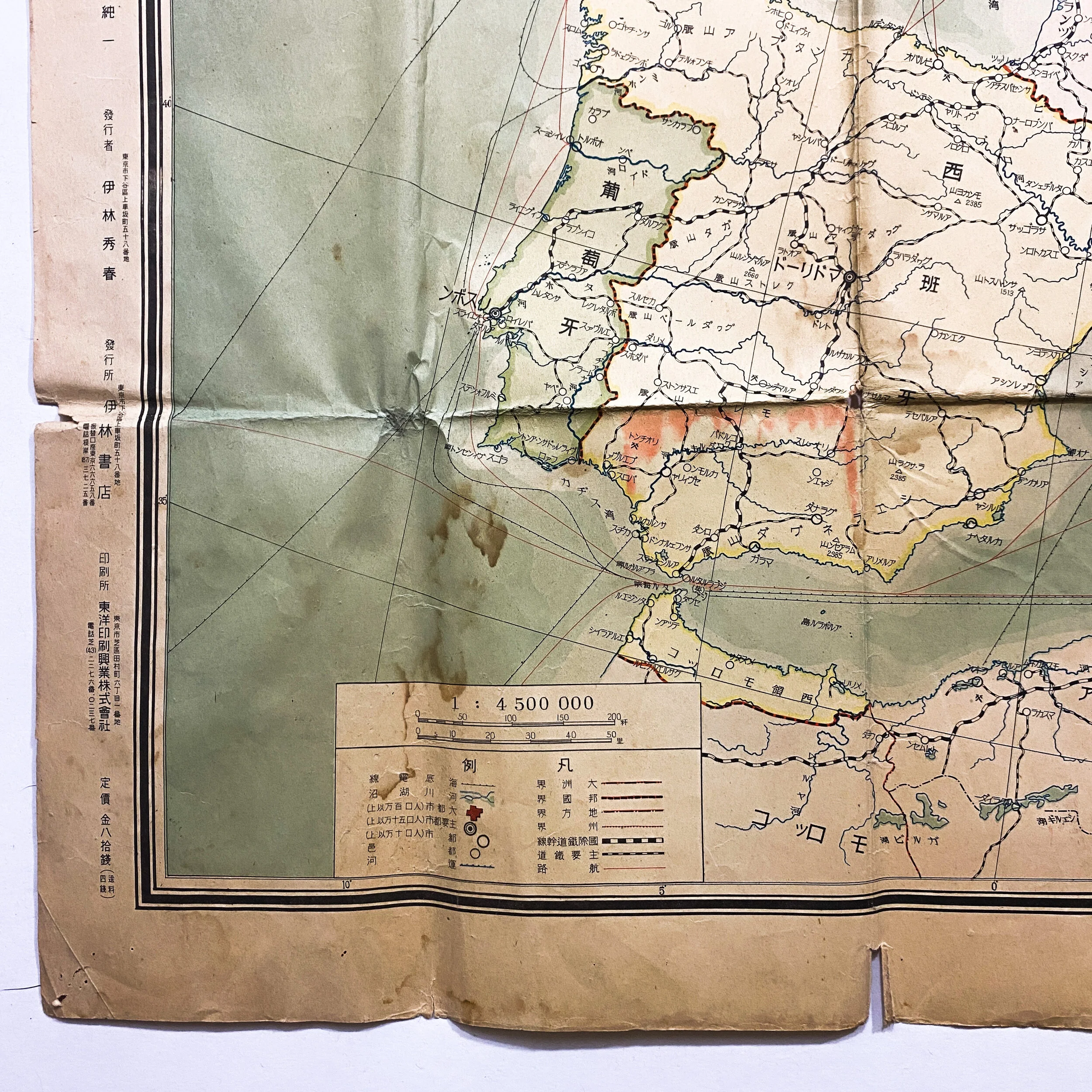
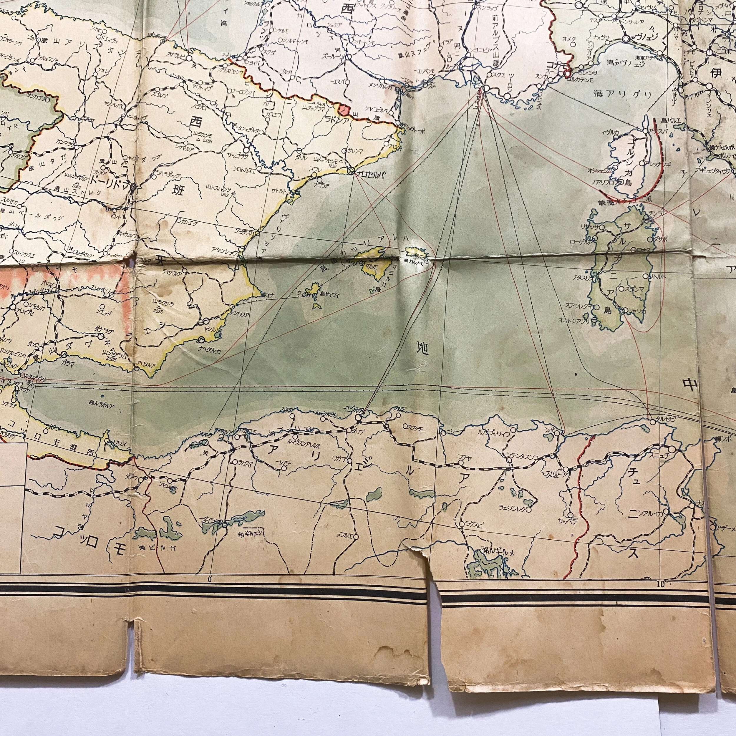

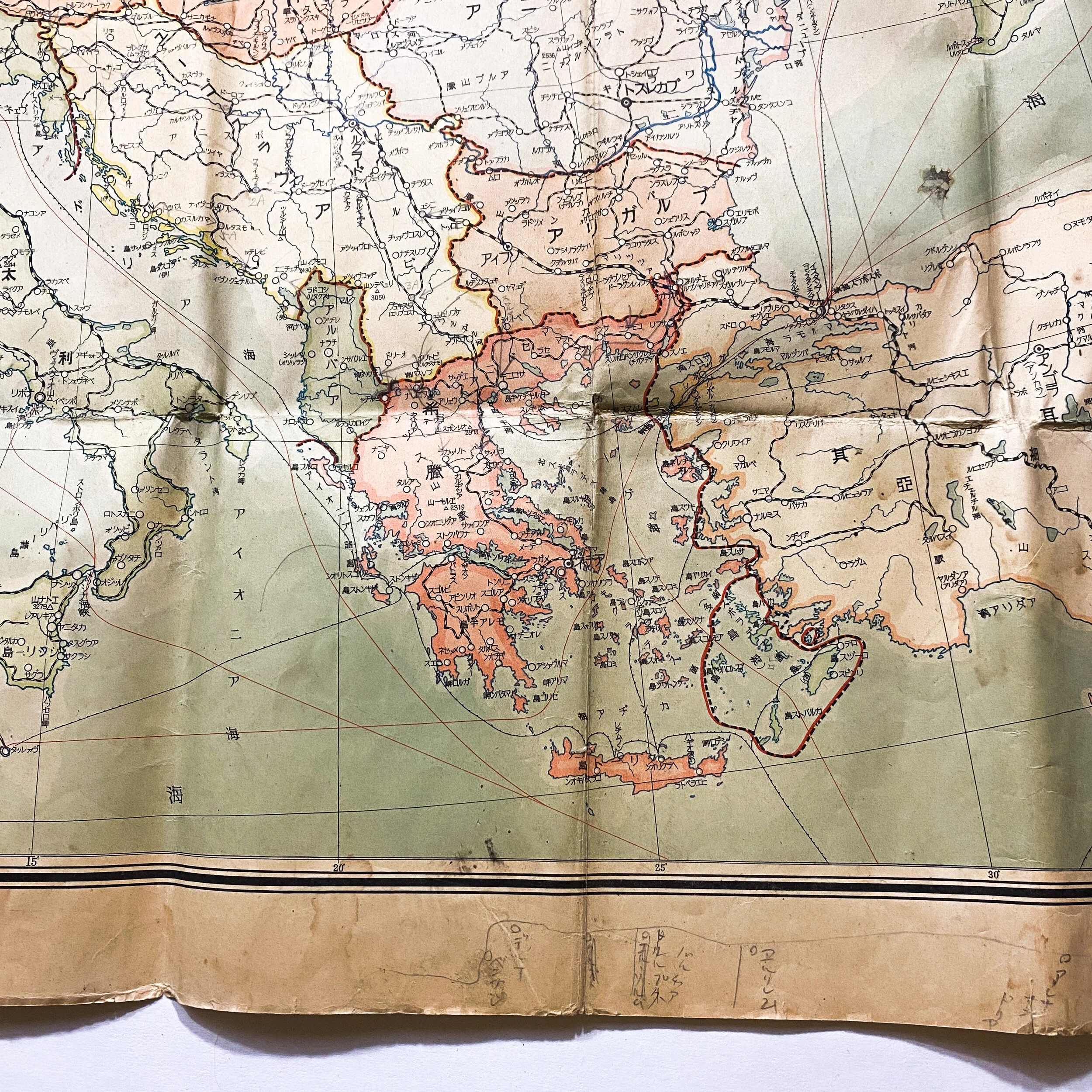
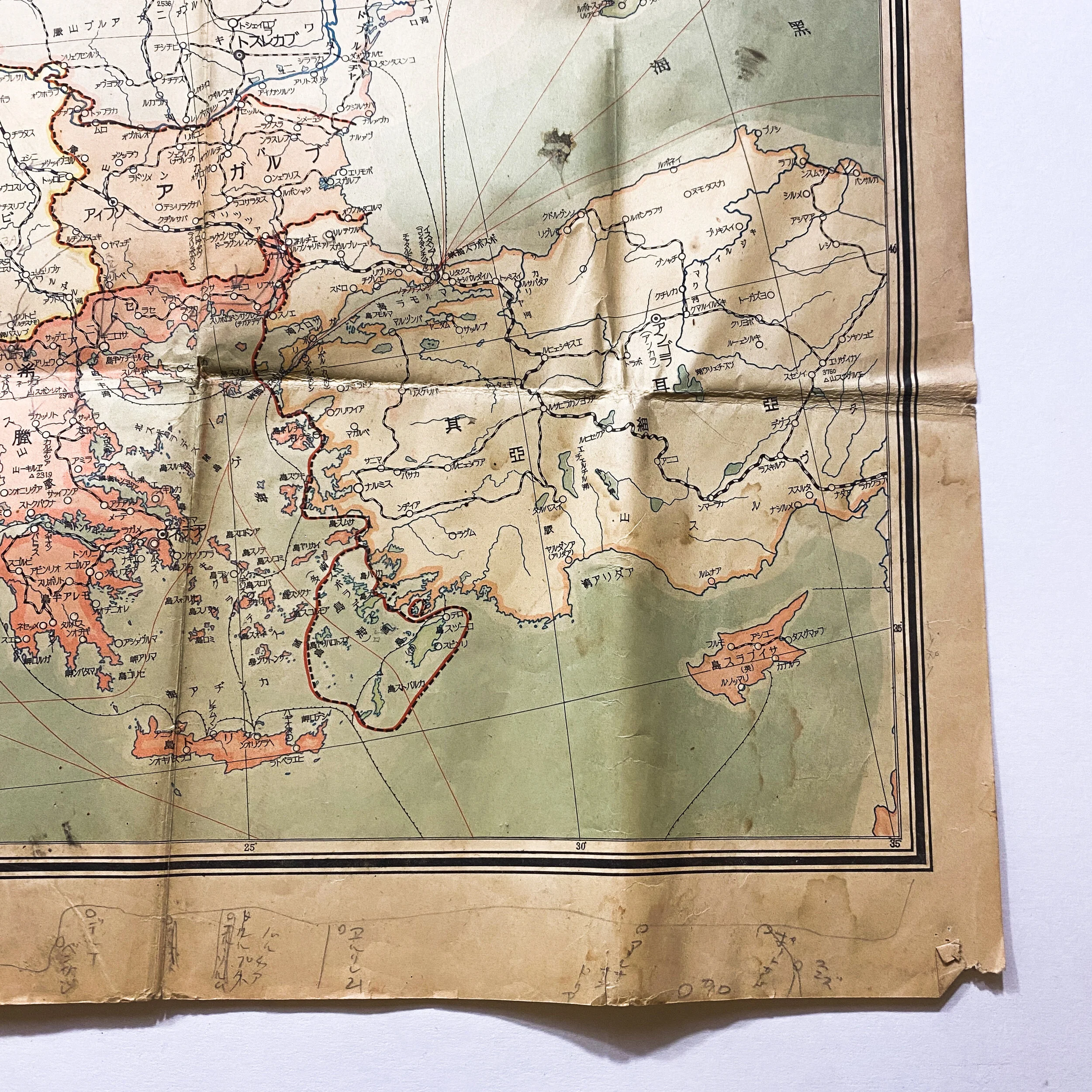
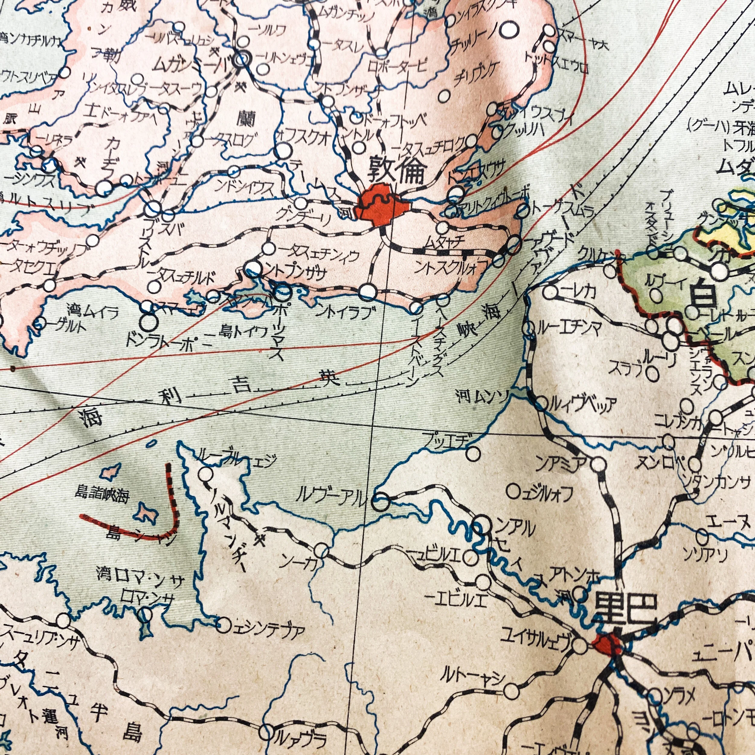
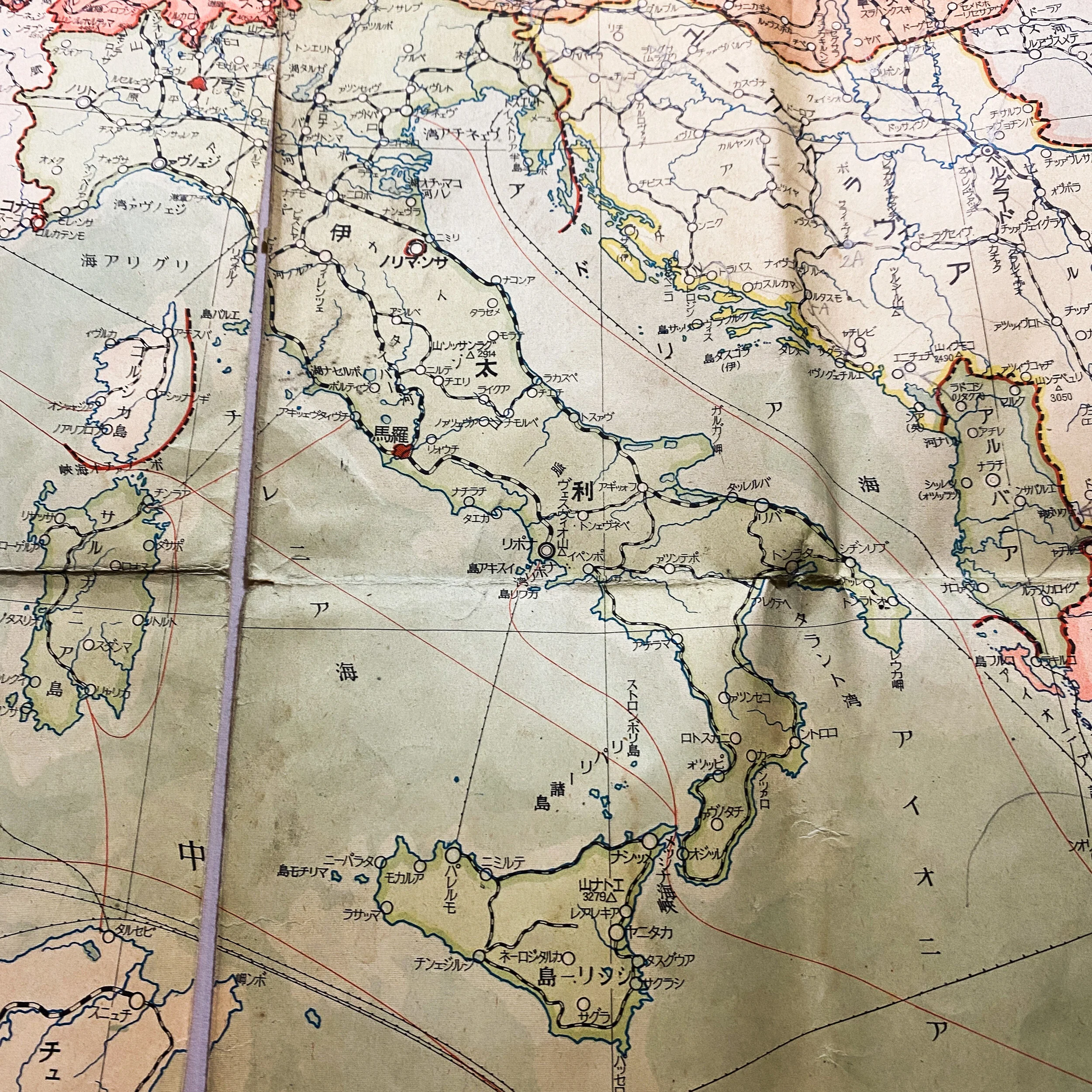
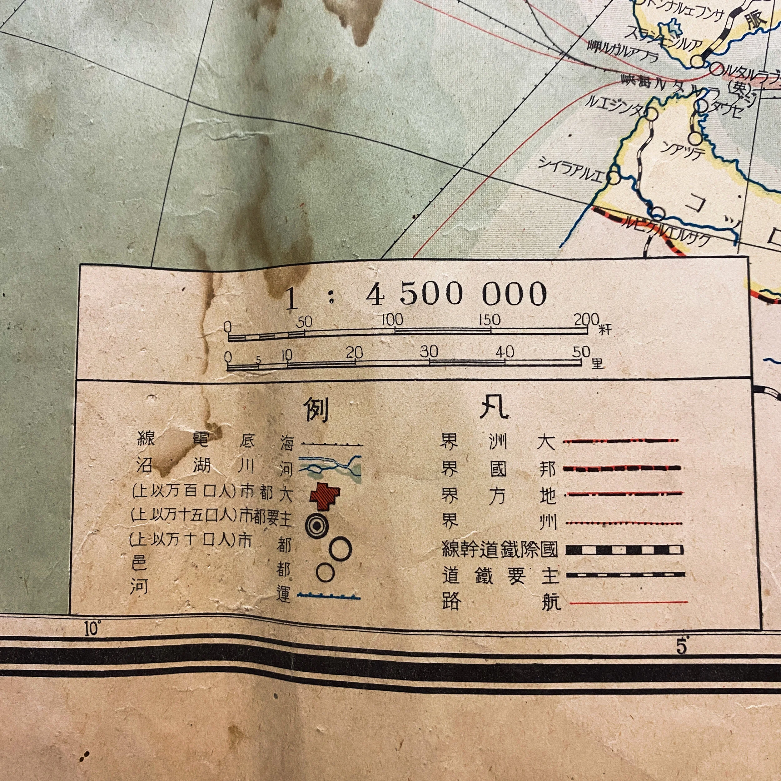
WWII Era Japanese Map of European Theater
Size: 31 x 43 inches
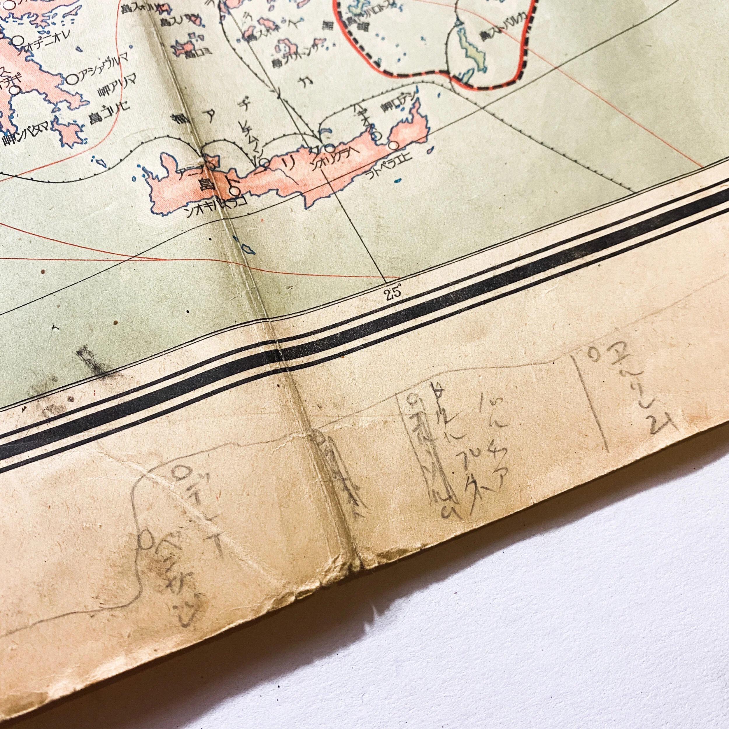
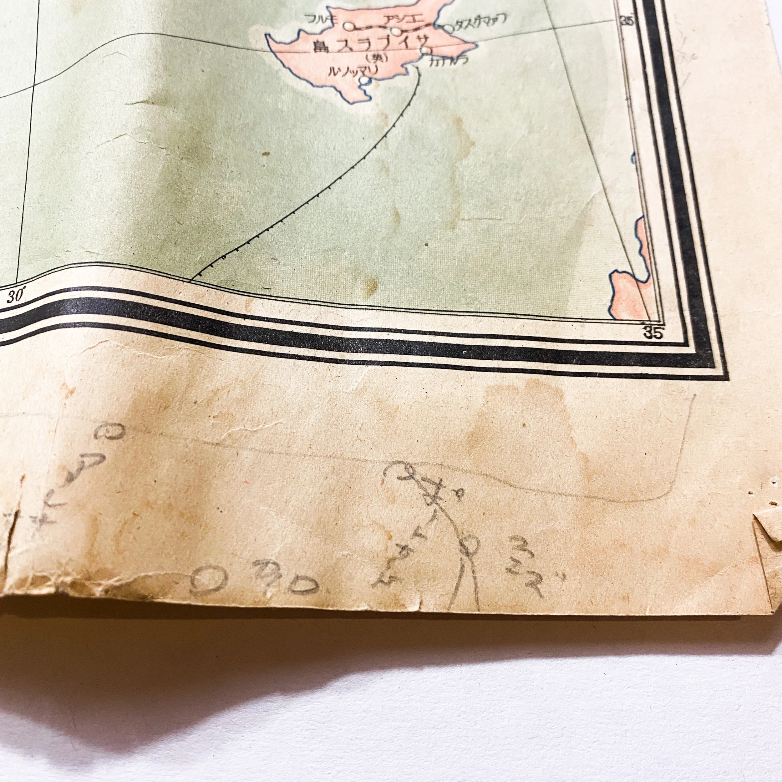
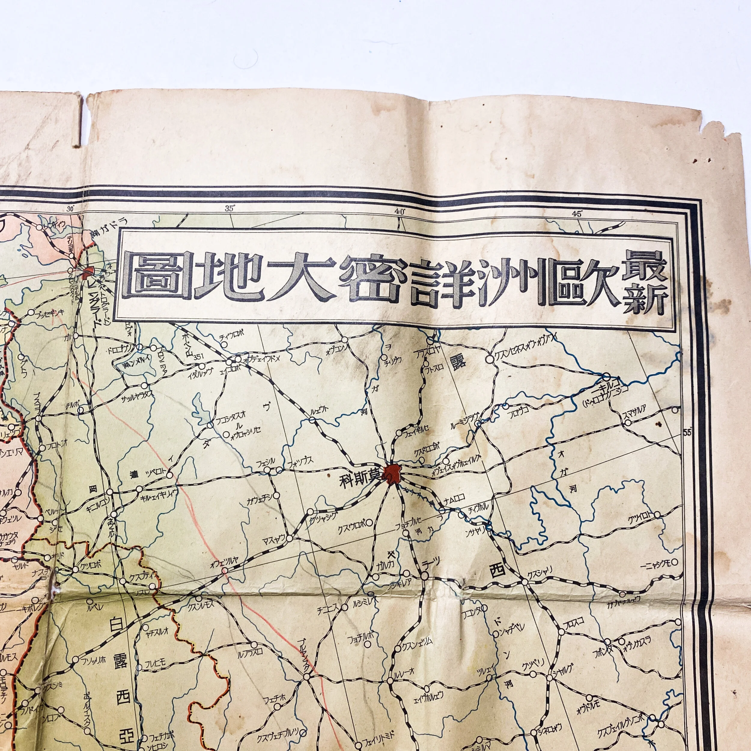
This intricate World War II Japanese map shows the infamous geographical landscape of the European theater from Britain, France, Germany, Italy, and many more. This large format map was issued by the Japanese during World War II as part of a series of maps promoting the Japanese imperialistic concept. The map itself depicts a color coded landscape differentiating the countries, major roads, as well as other important information. Shipping lanes around these various regions are noted as well as air routes. A key located in the bottom left depicts what these symbols mean. While it is unclear if this map was used for military purposes, it is heavily used and worn. There are a few stains on the map, as well as a binding tear down the middle fold, however, when laying down or framed this tear is unrecognizable.