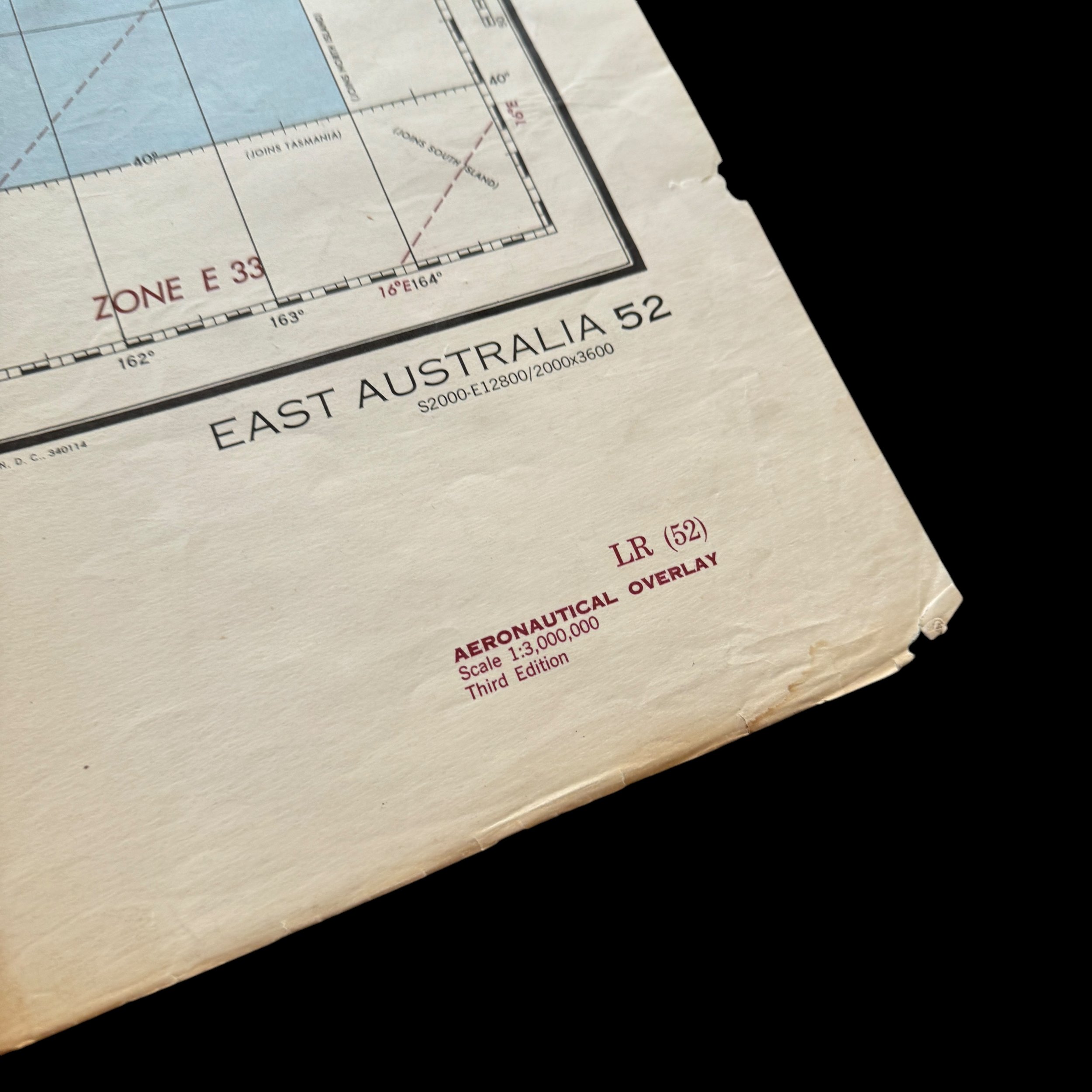
RARE! WWII 1944 5th Air Force US Army Air Force Long-Range Navigation Chart of East Australia (Double-Sided Edition)
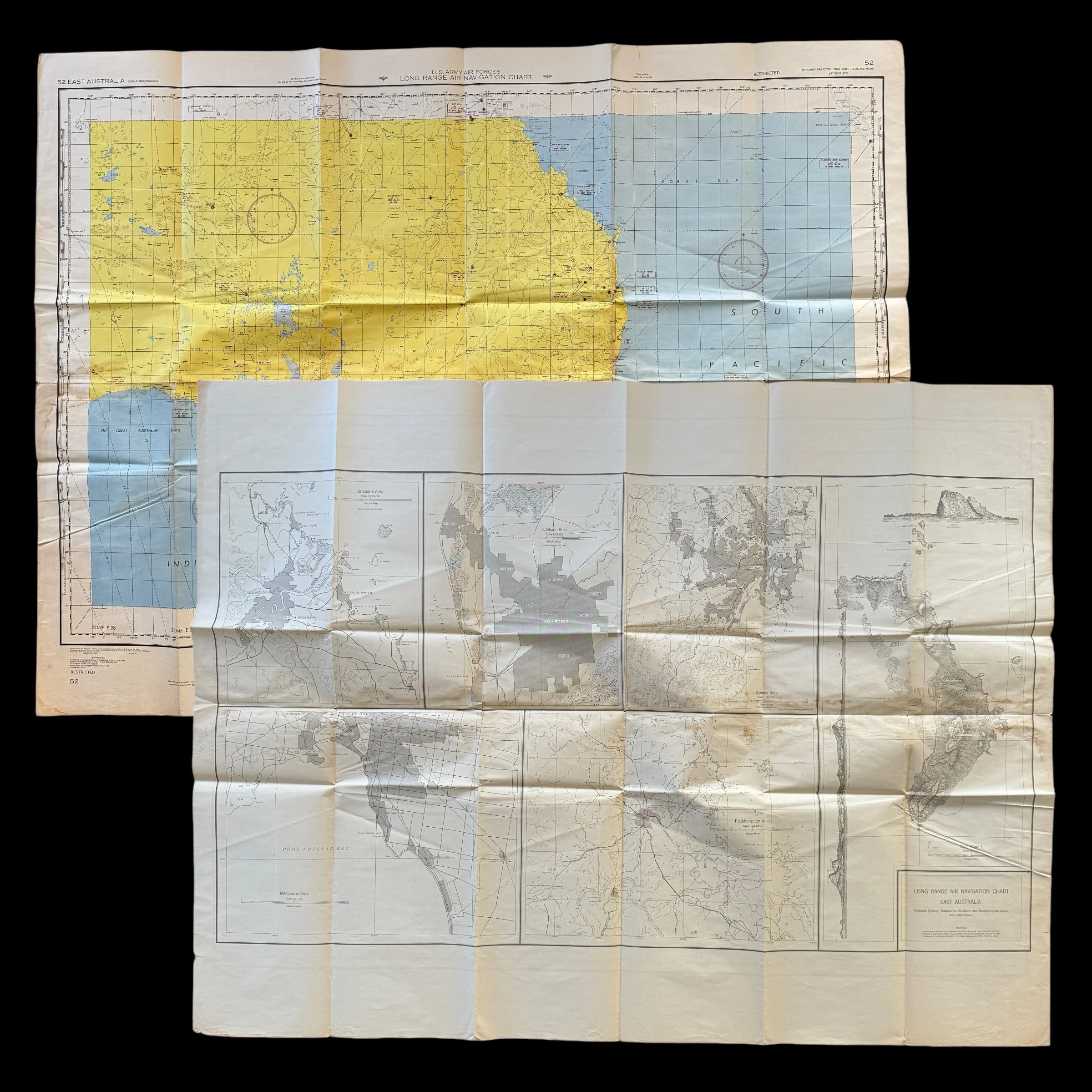
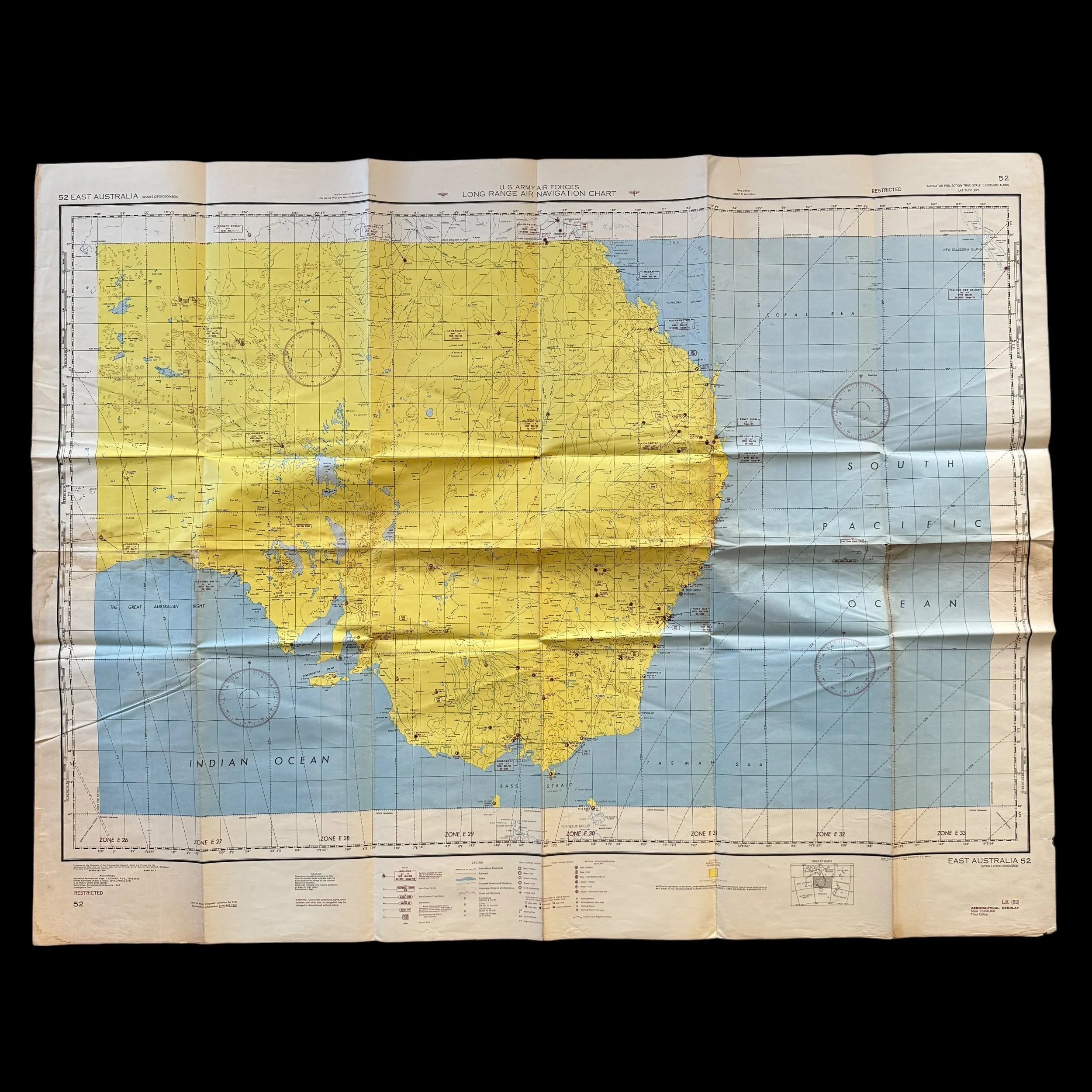
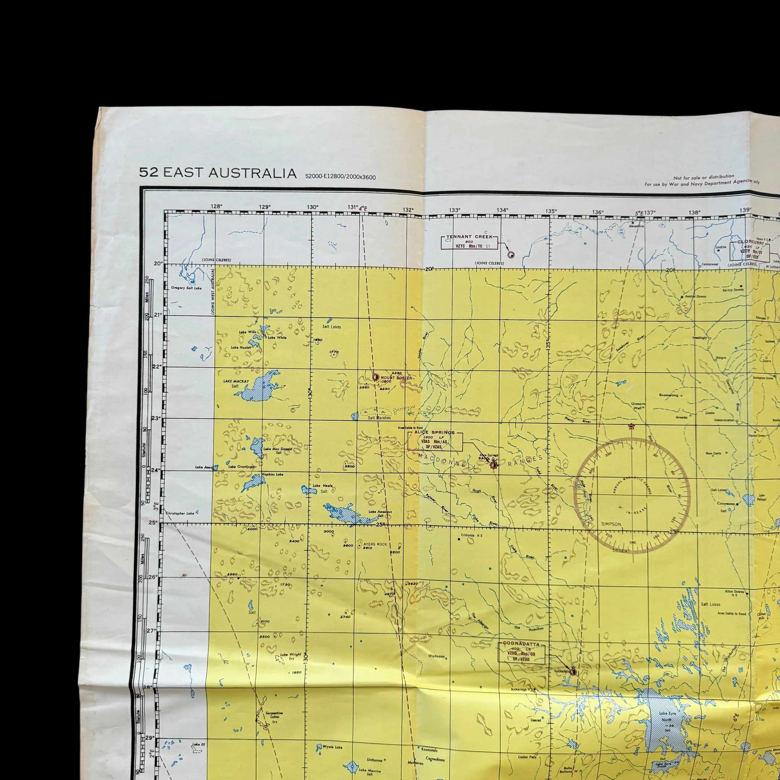
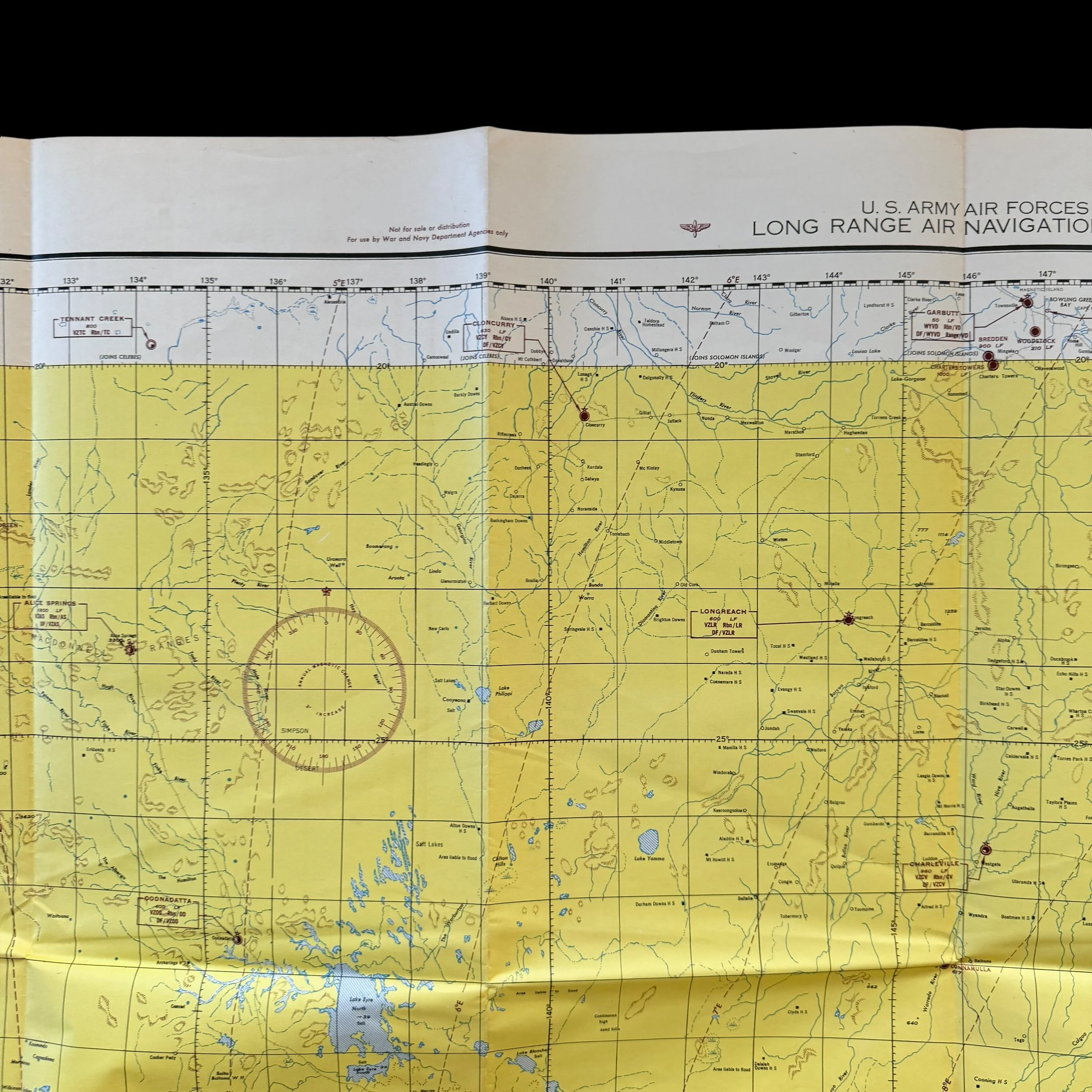
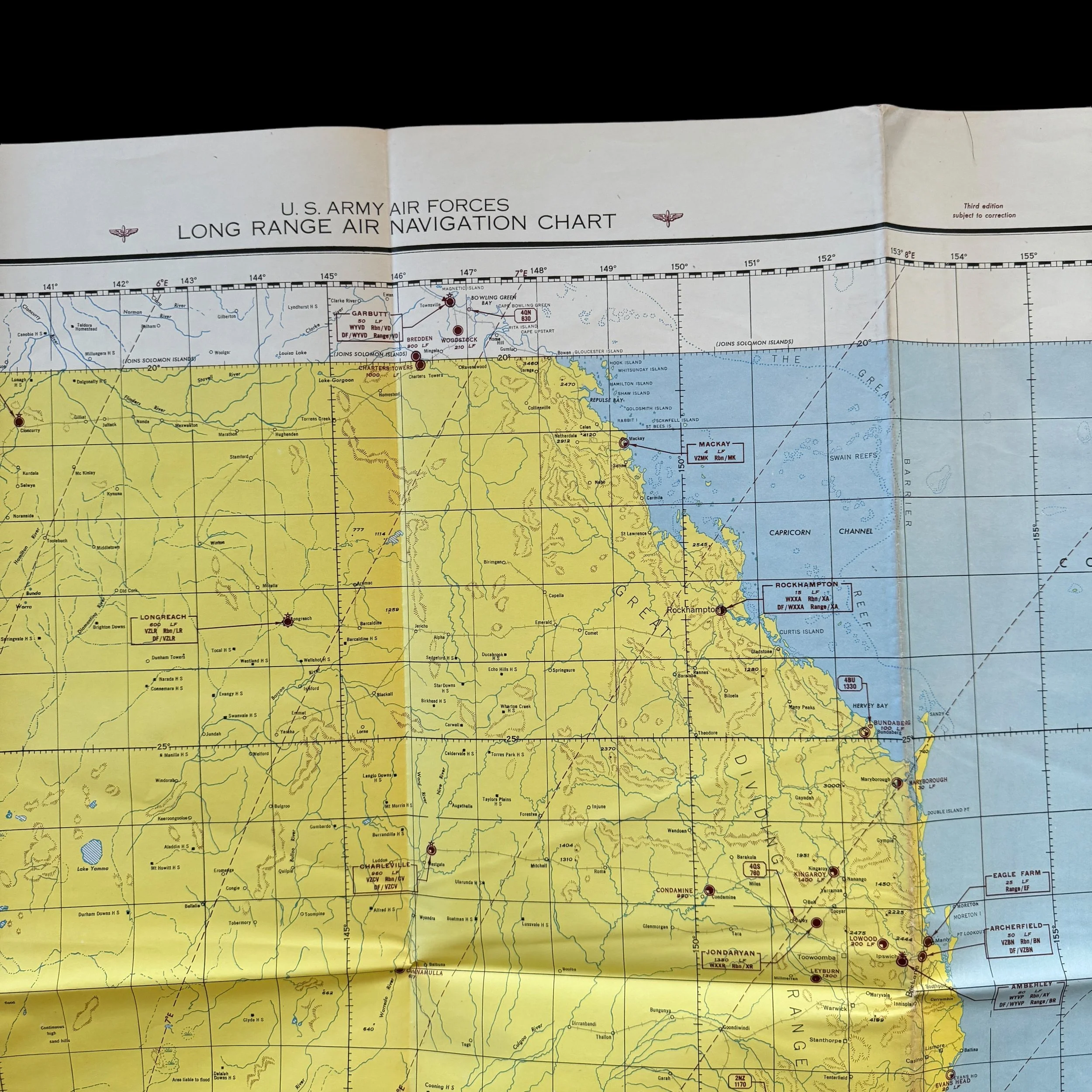
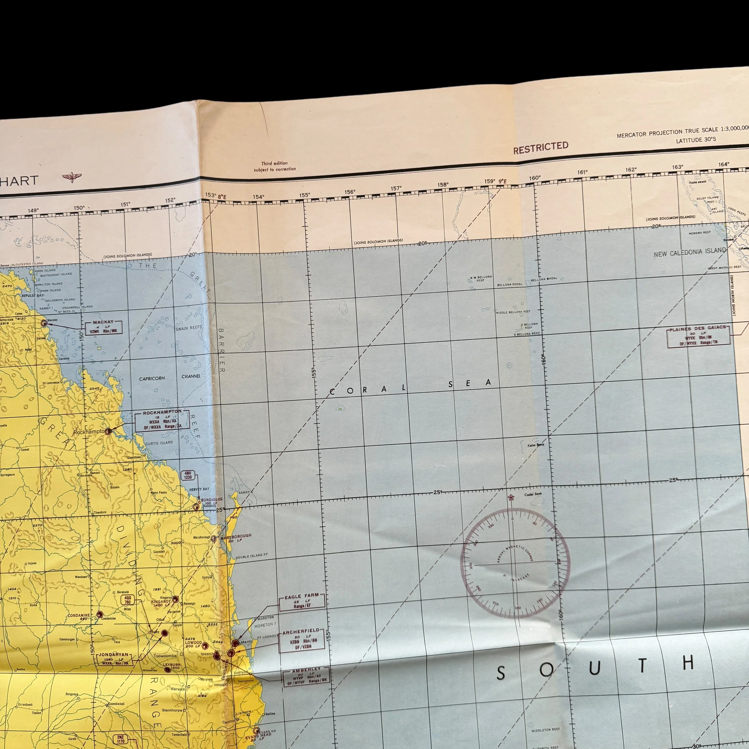
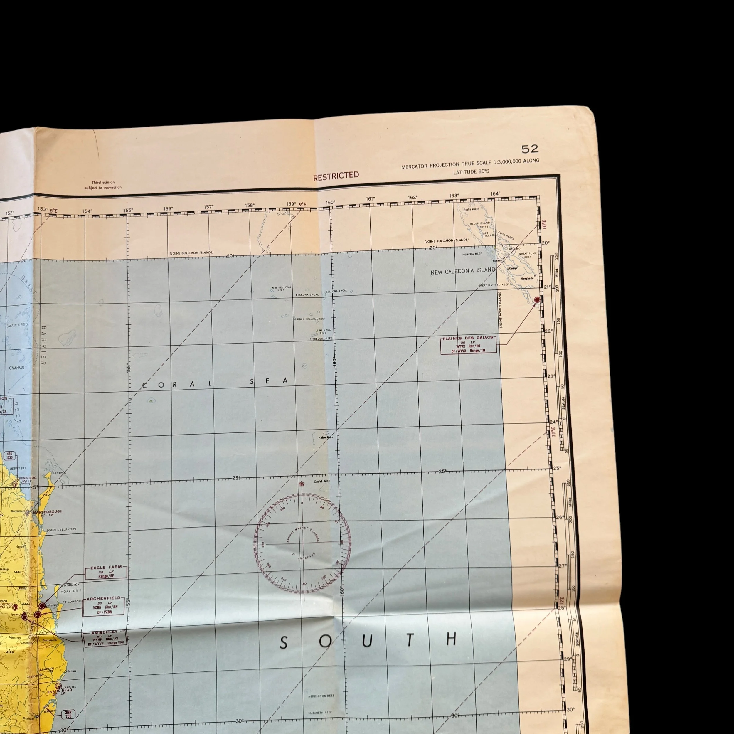
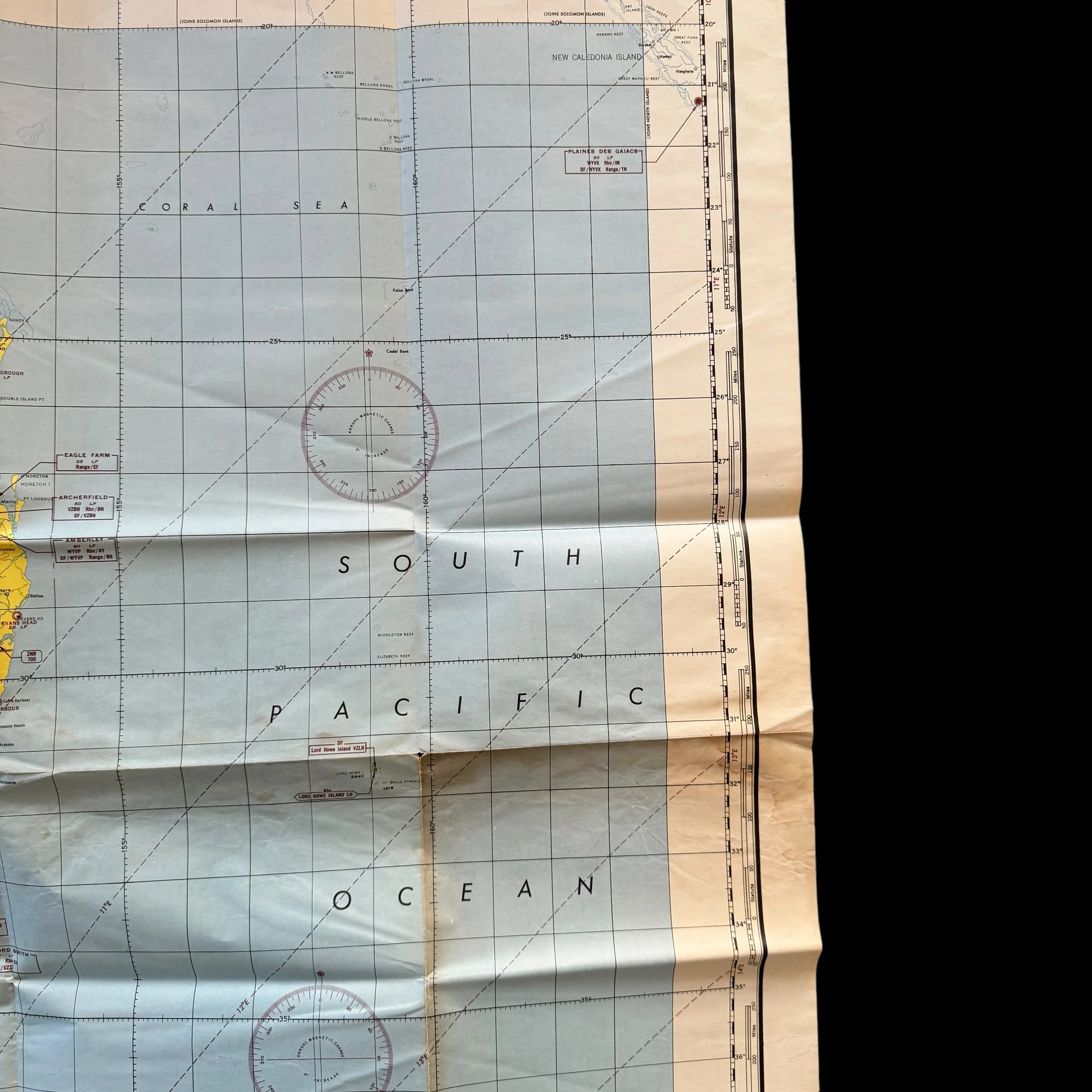





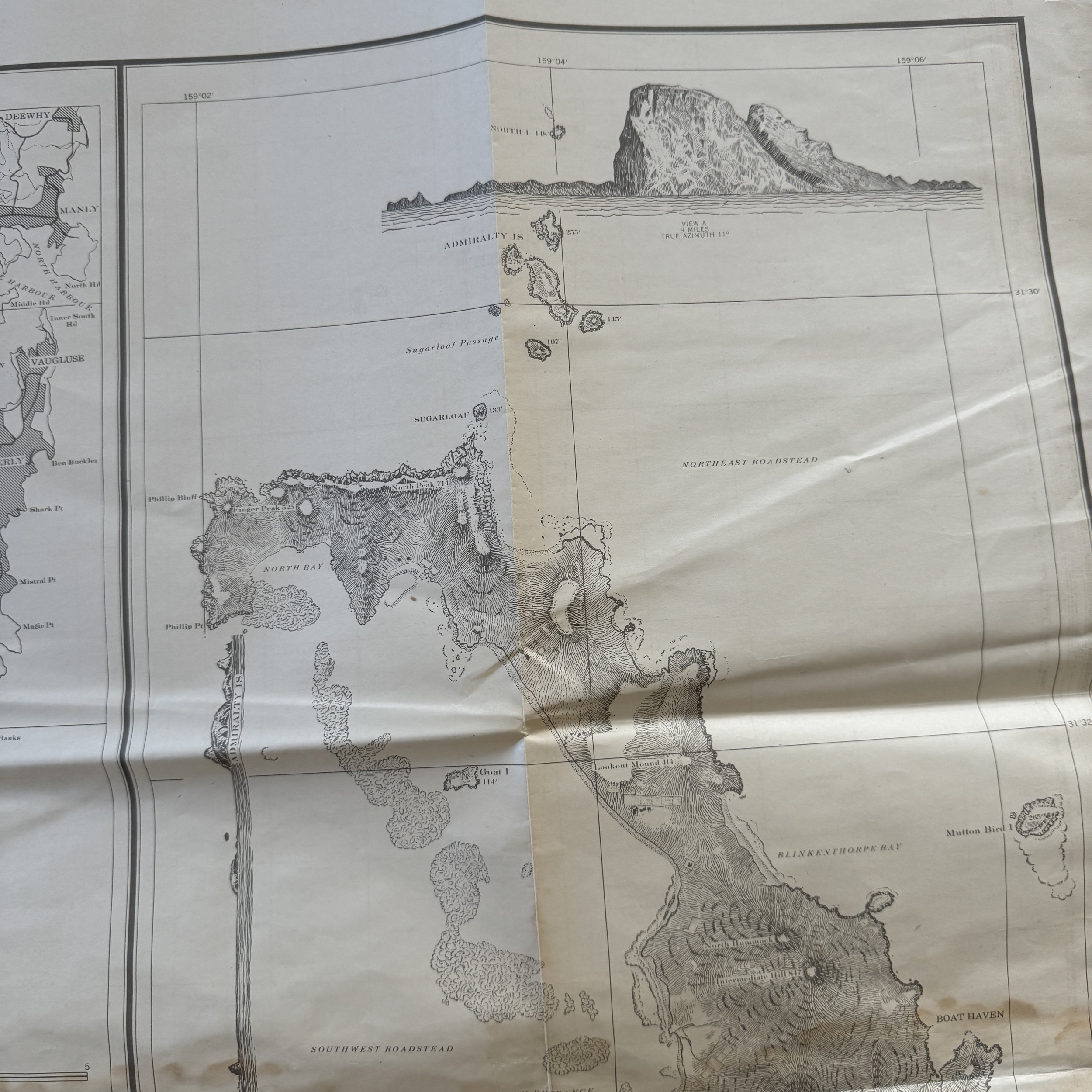
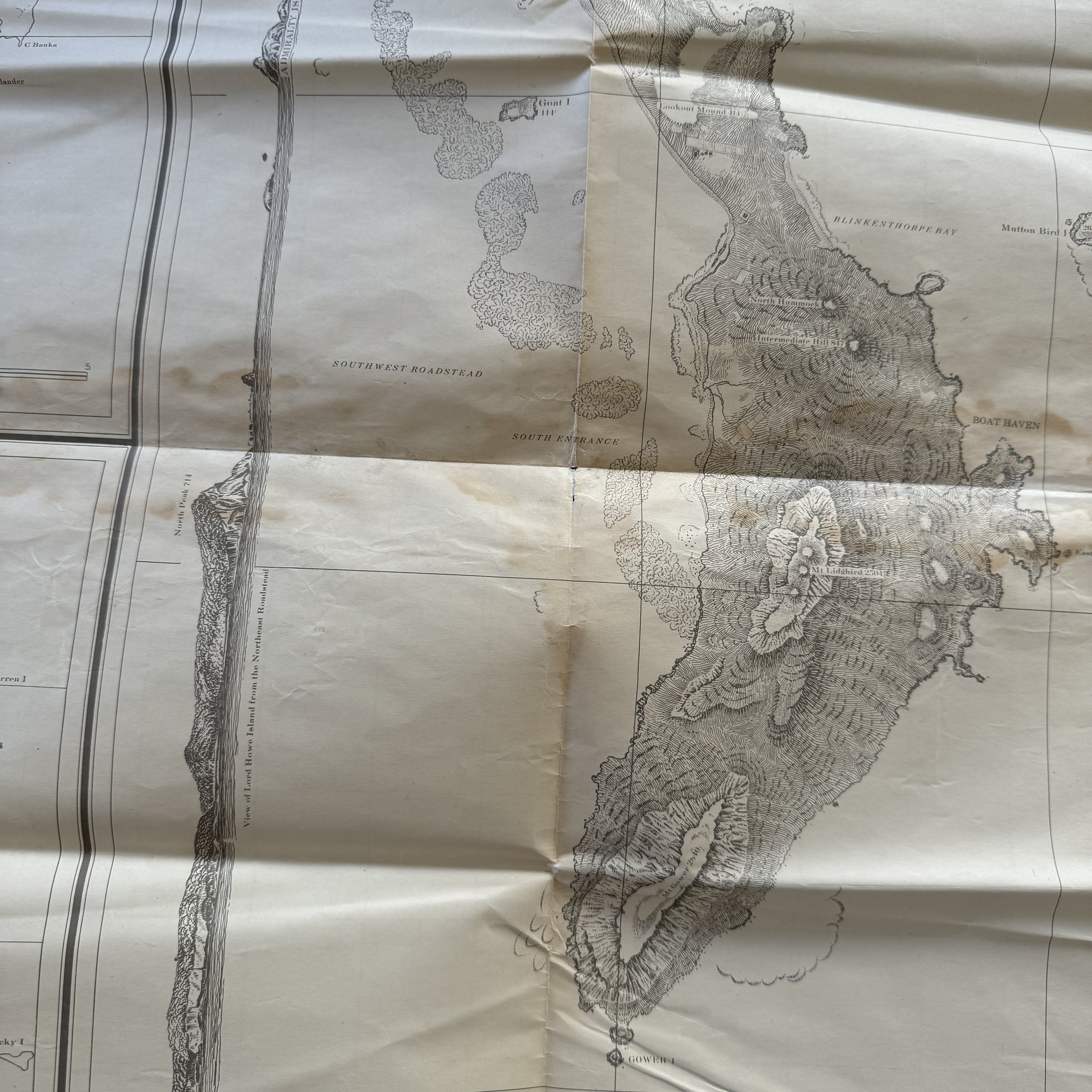

RARE! WWII 1944 5th Air Force US Army Air Force Long-Range Navigation Chart of East Australia (Double-Sided Edition)
Comes with a hand-signed C.O.A.
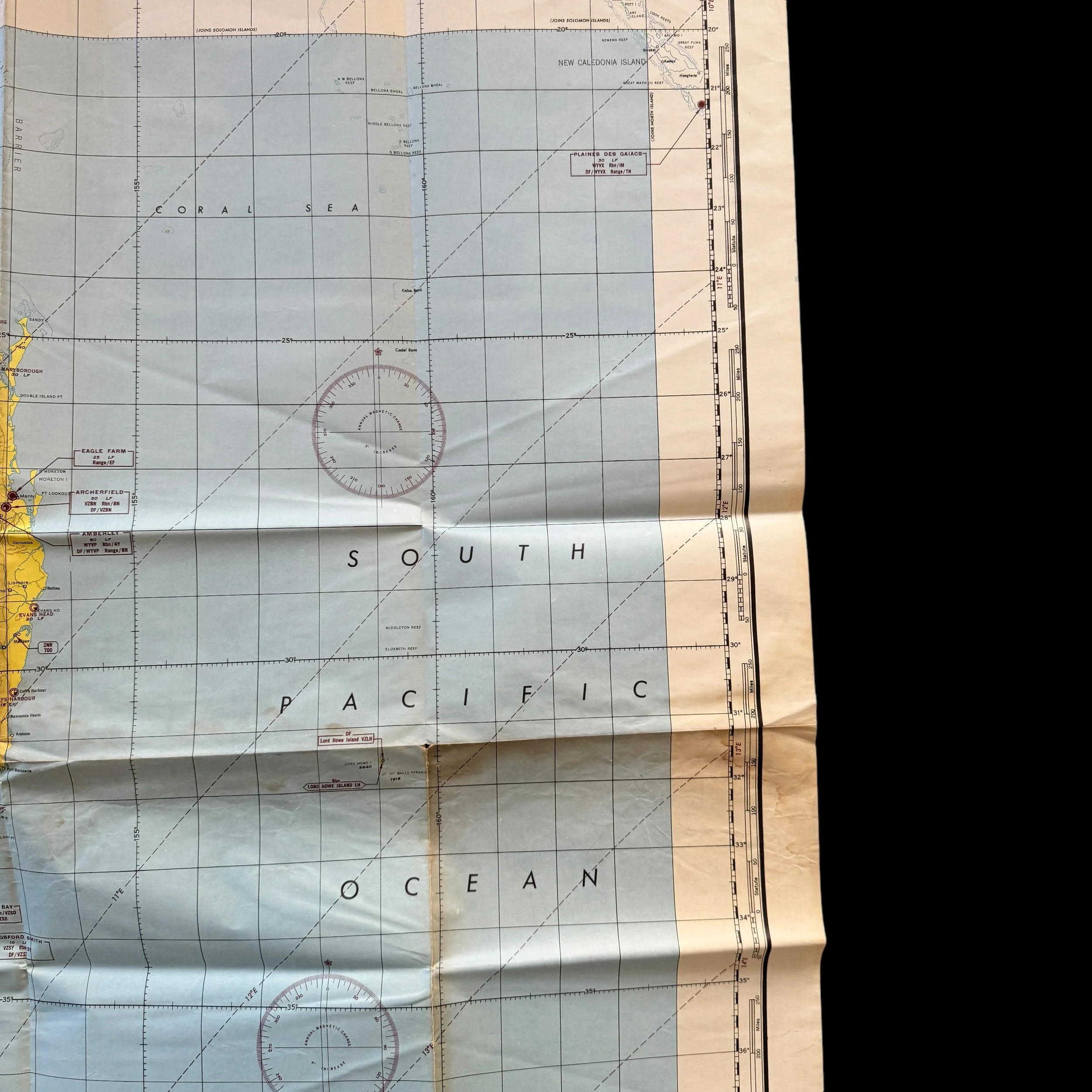
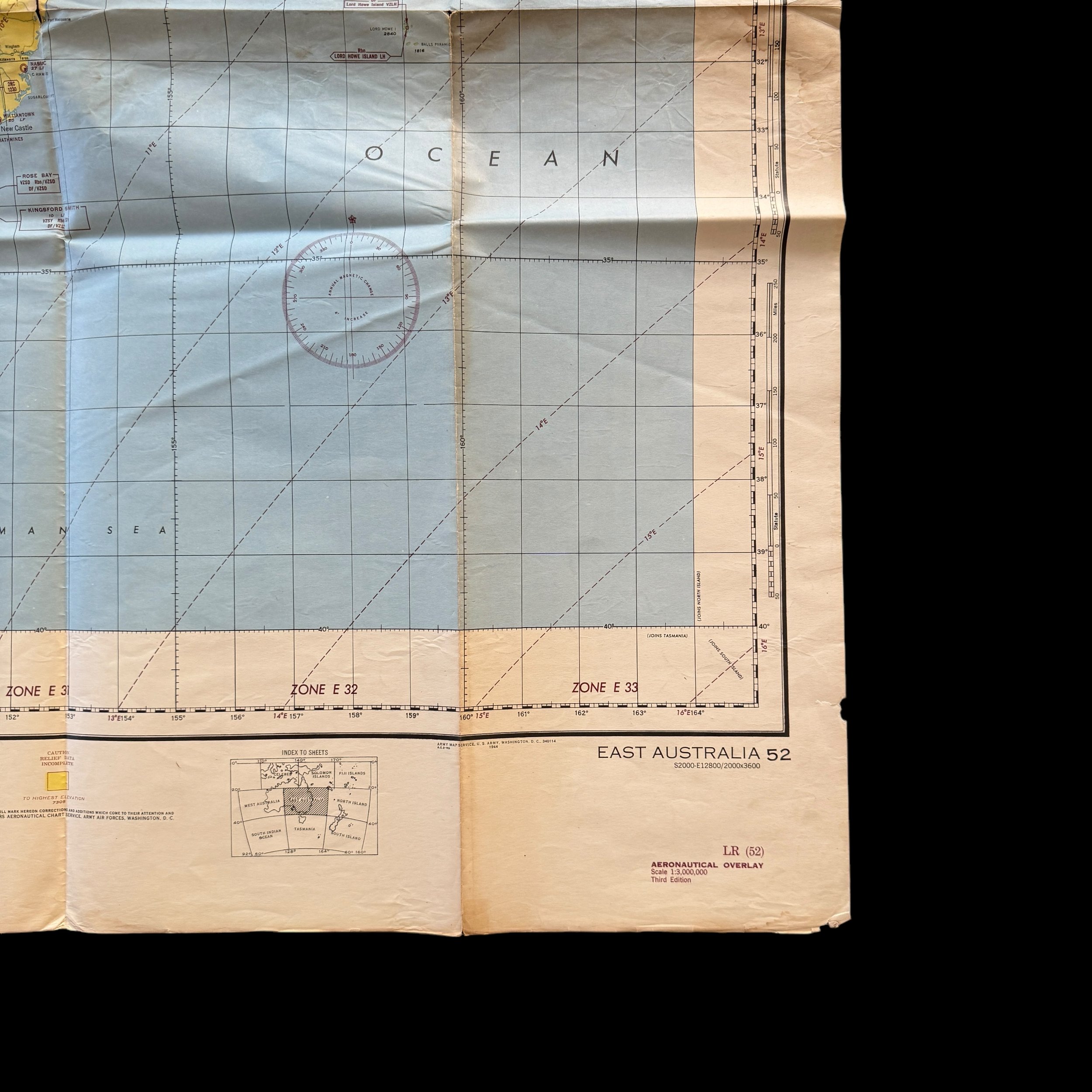
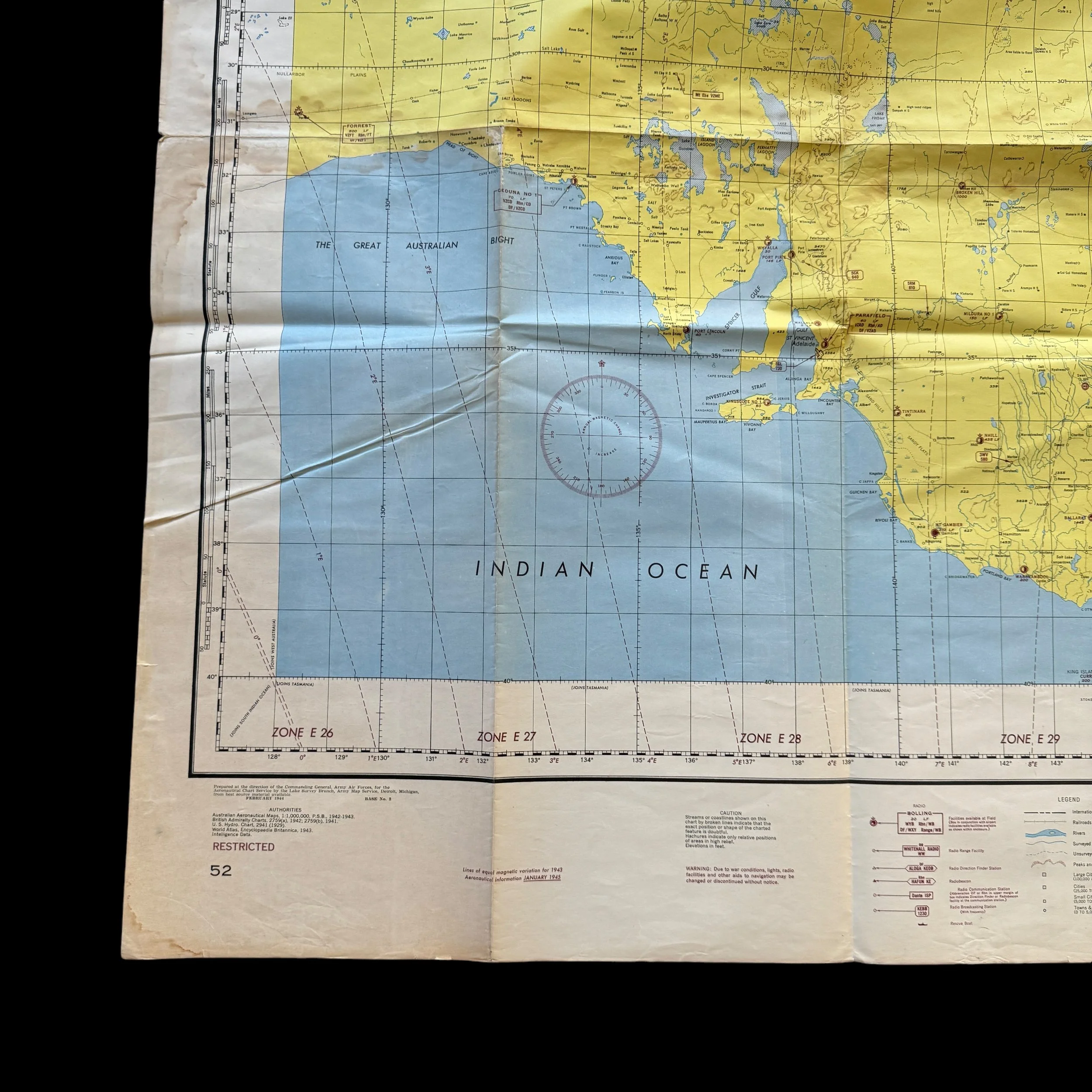
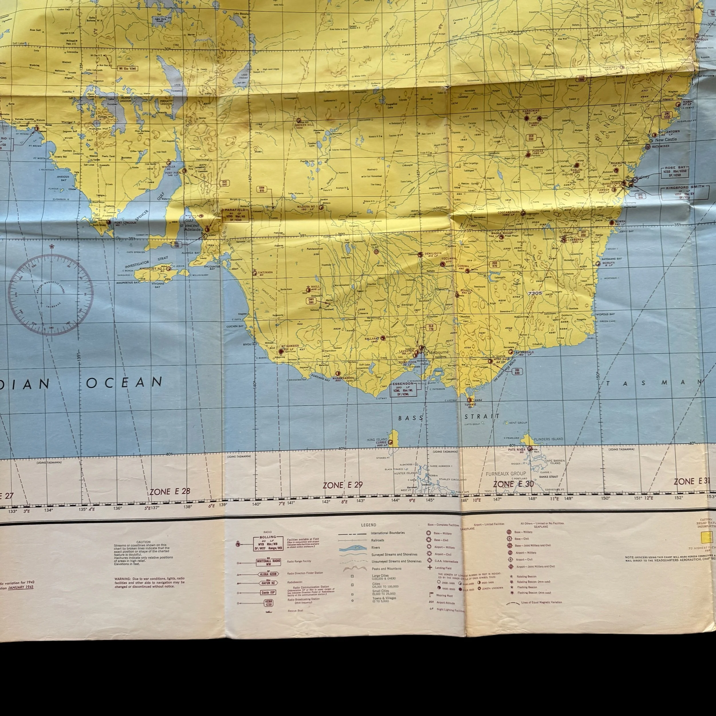
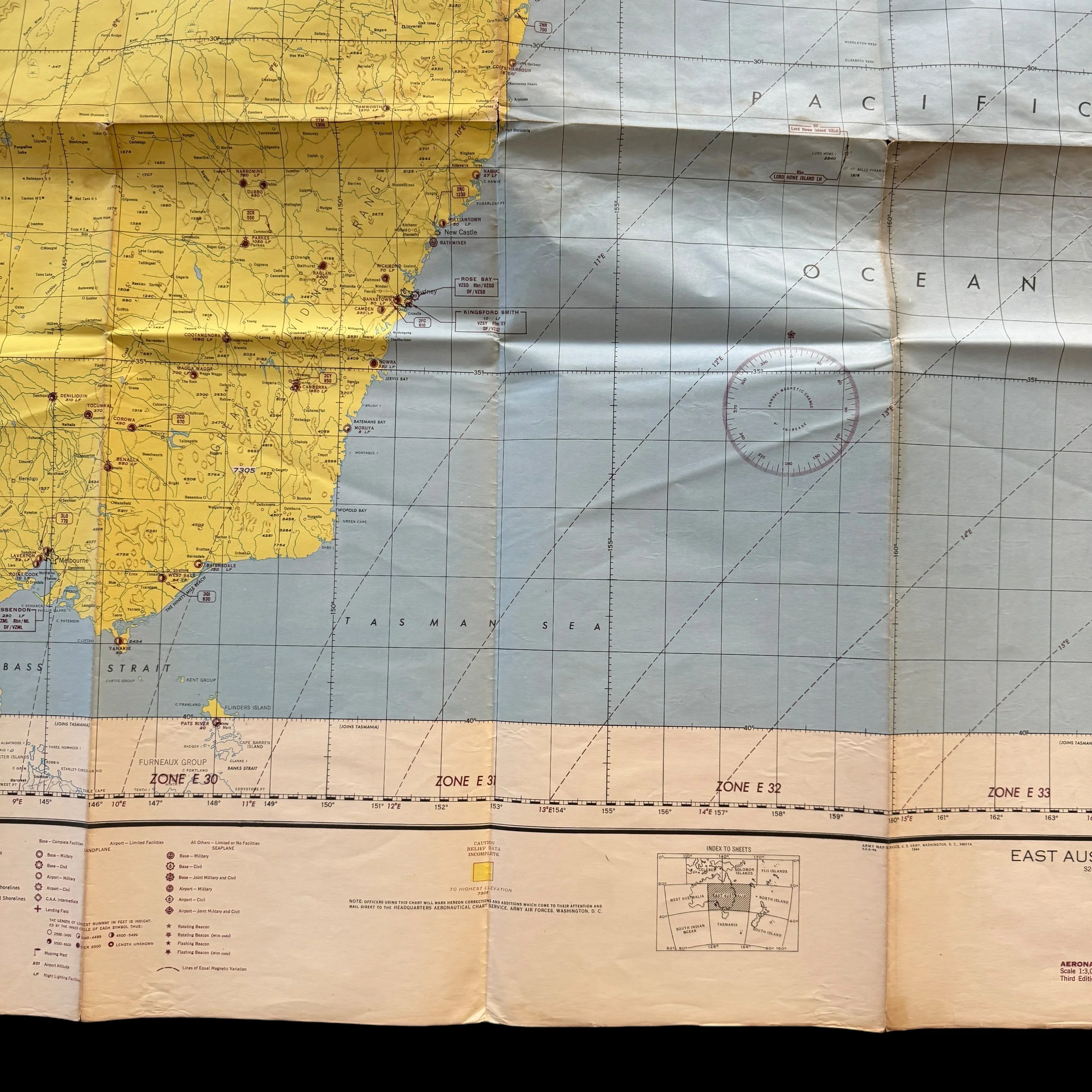
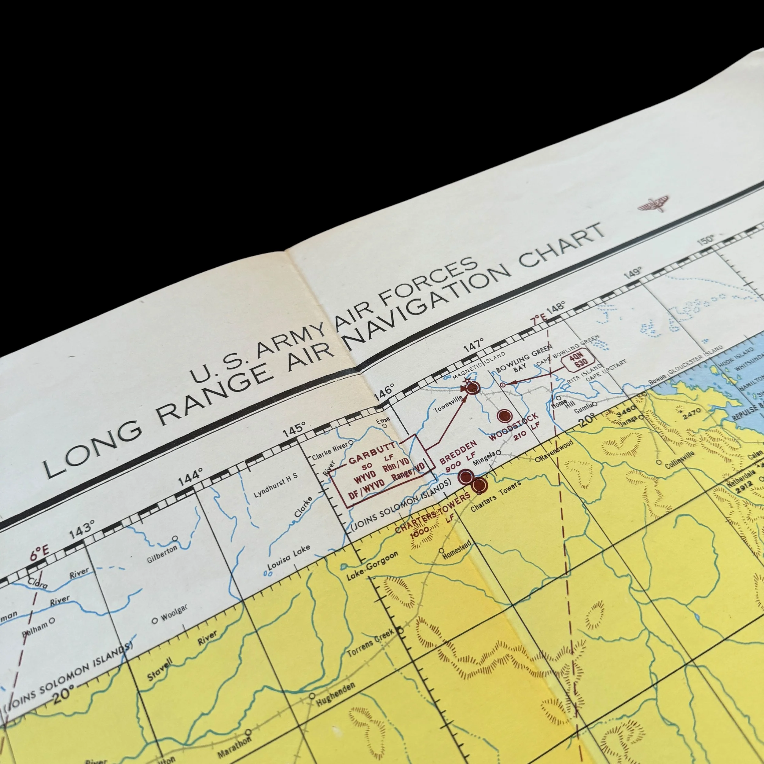
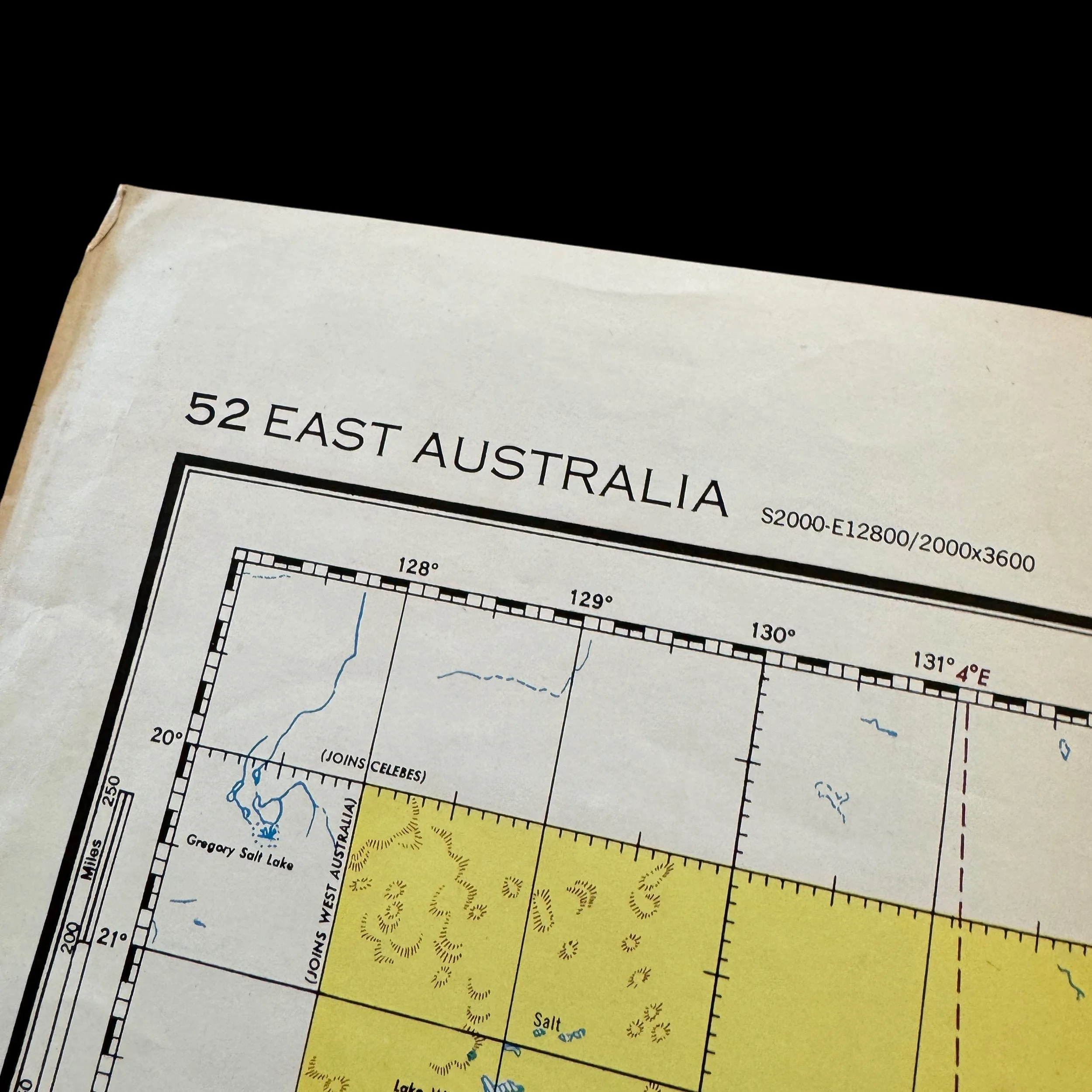
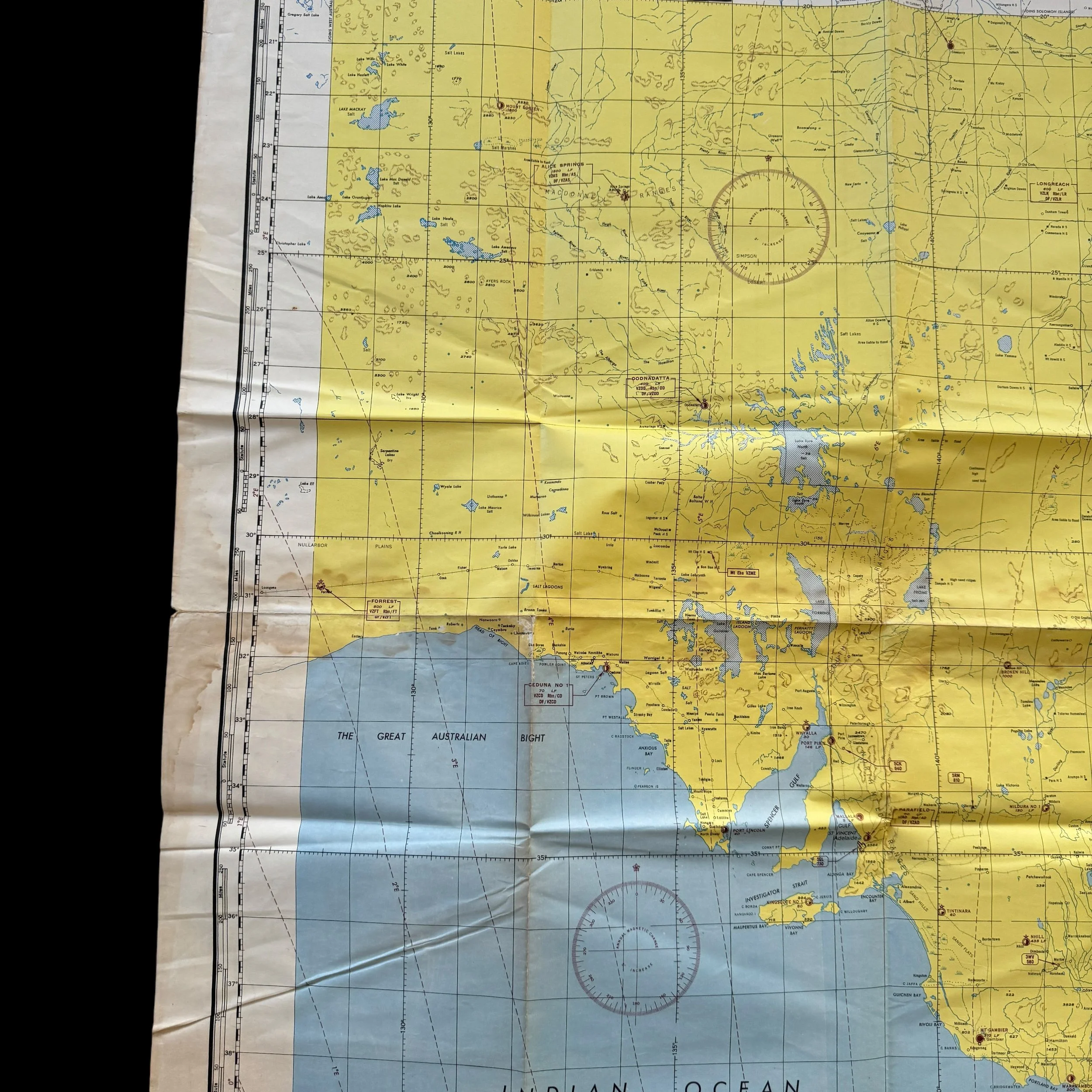
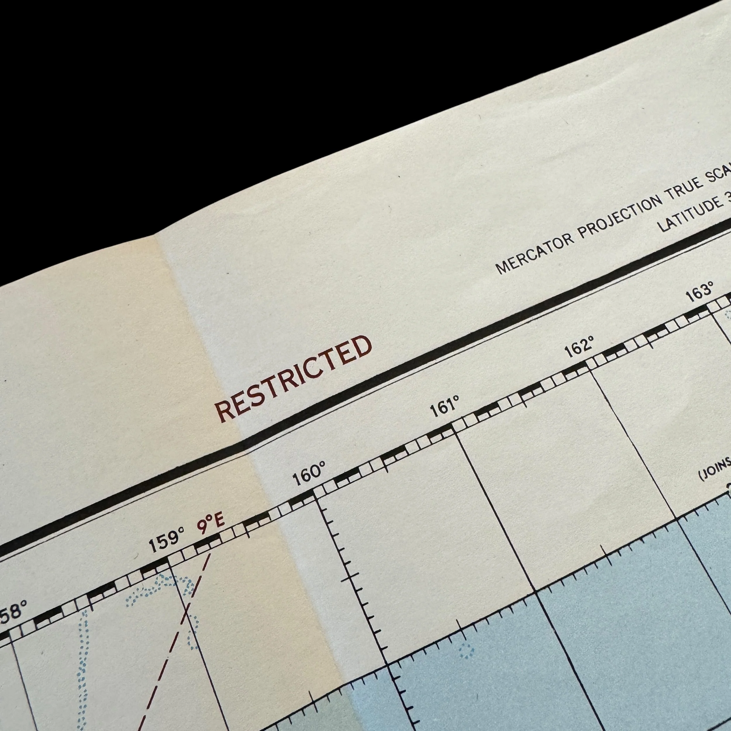
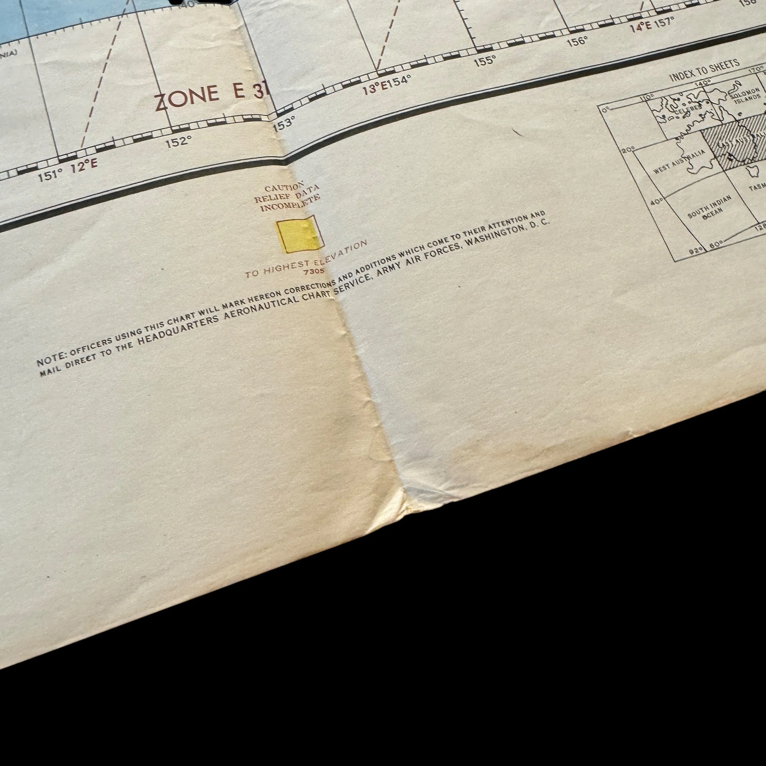
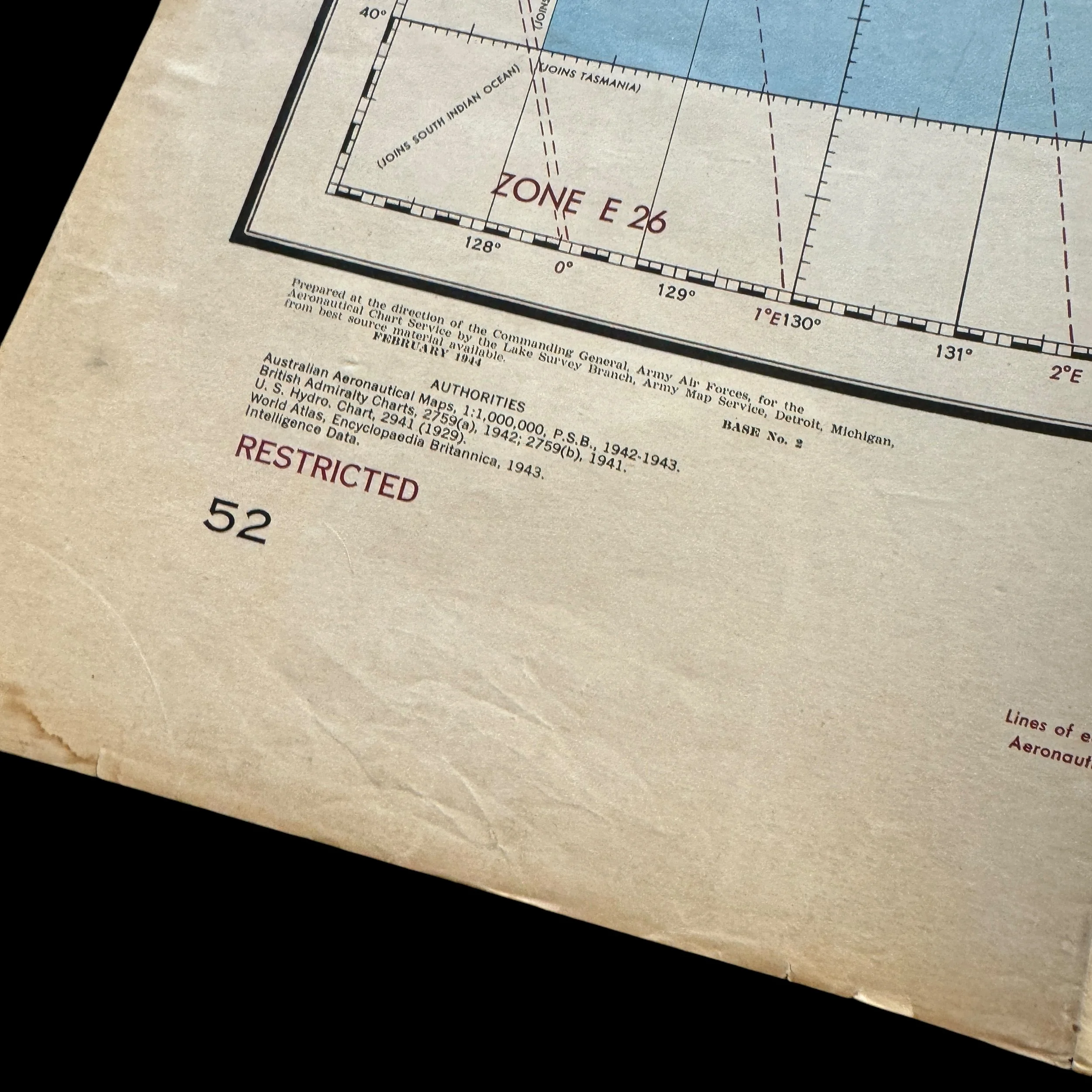
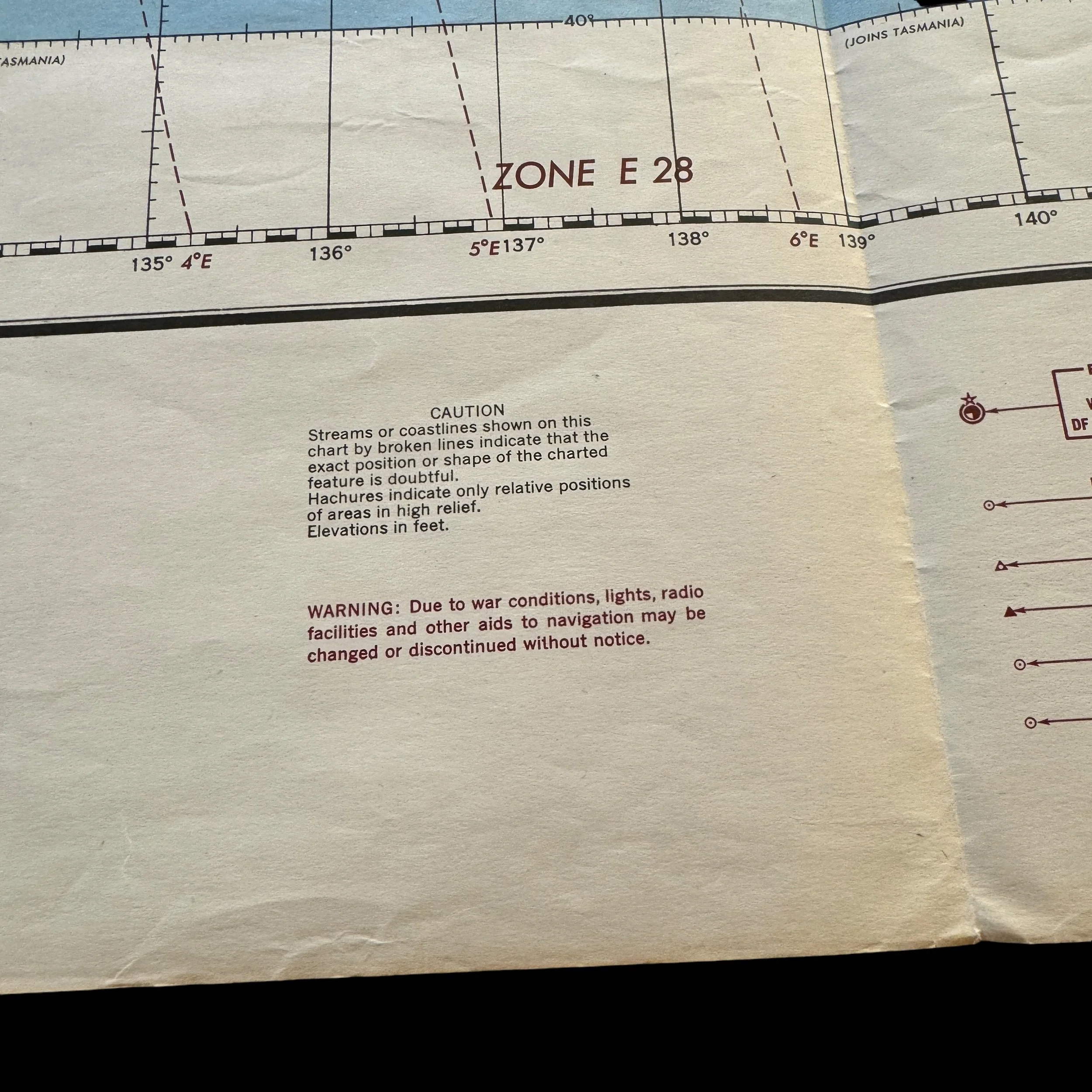
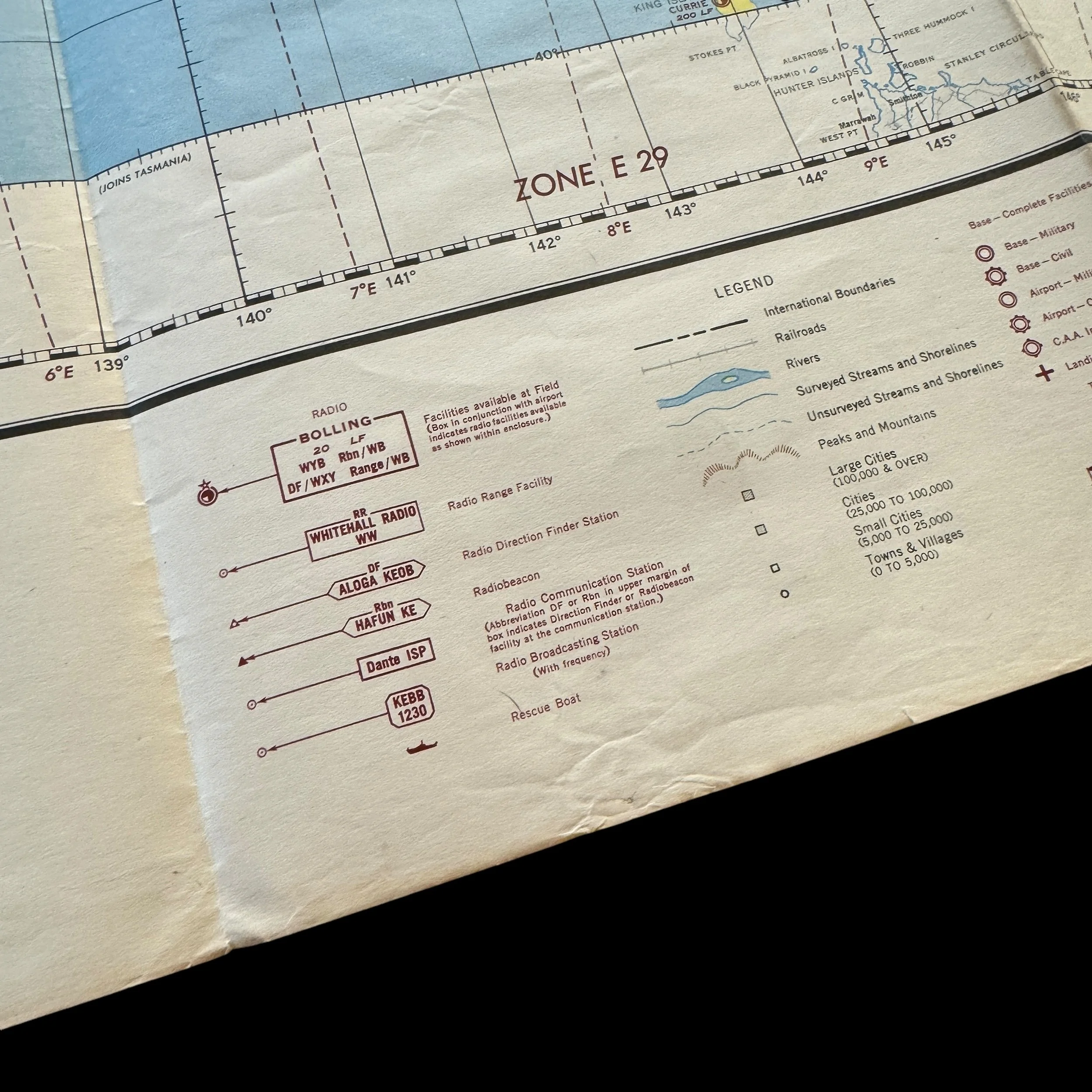
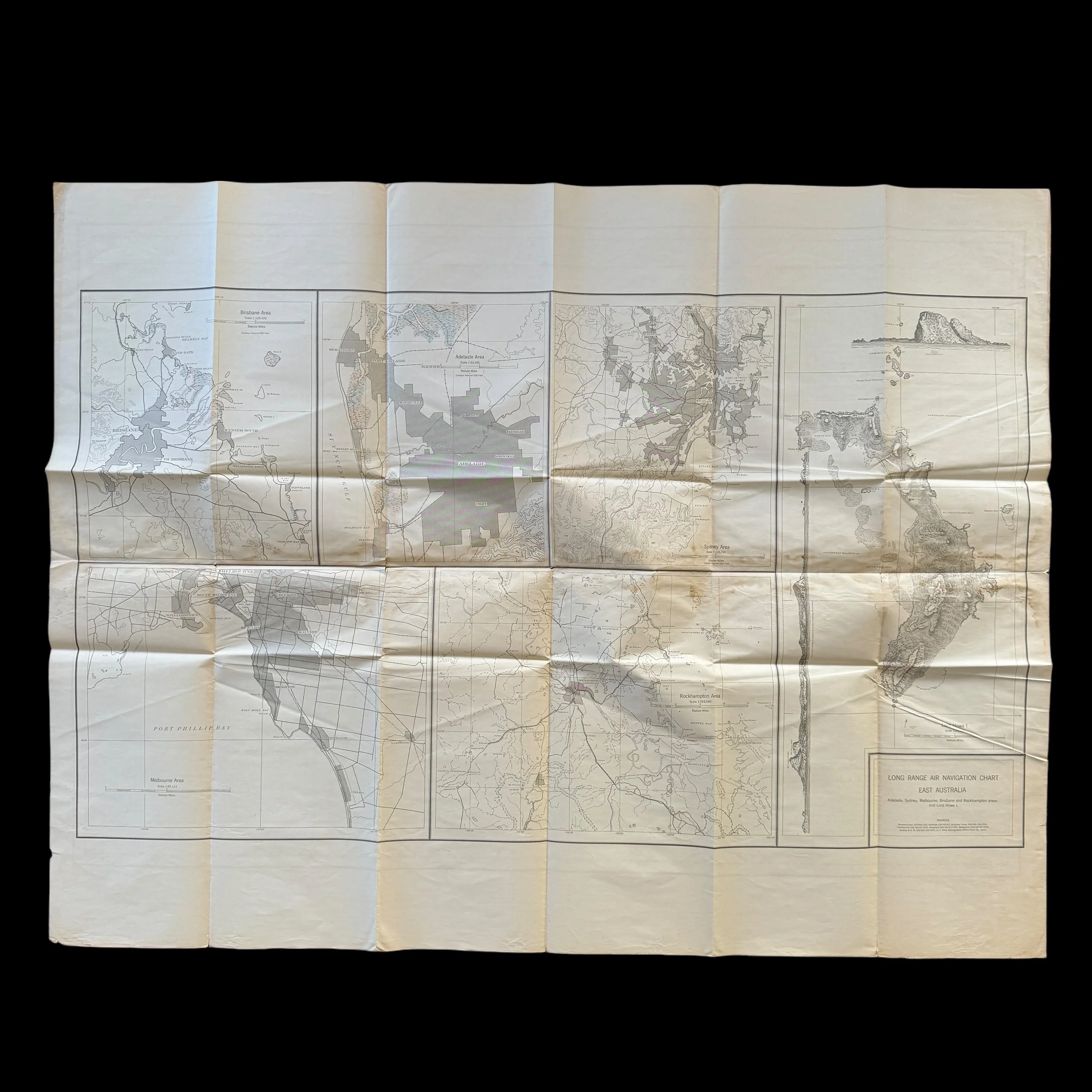
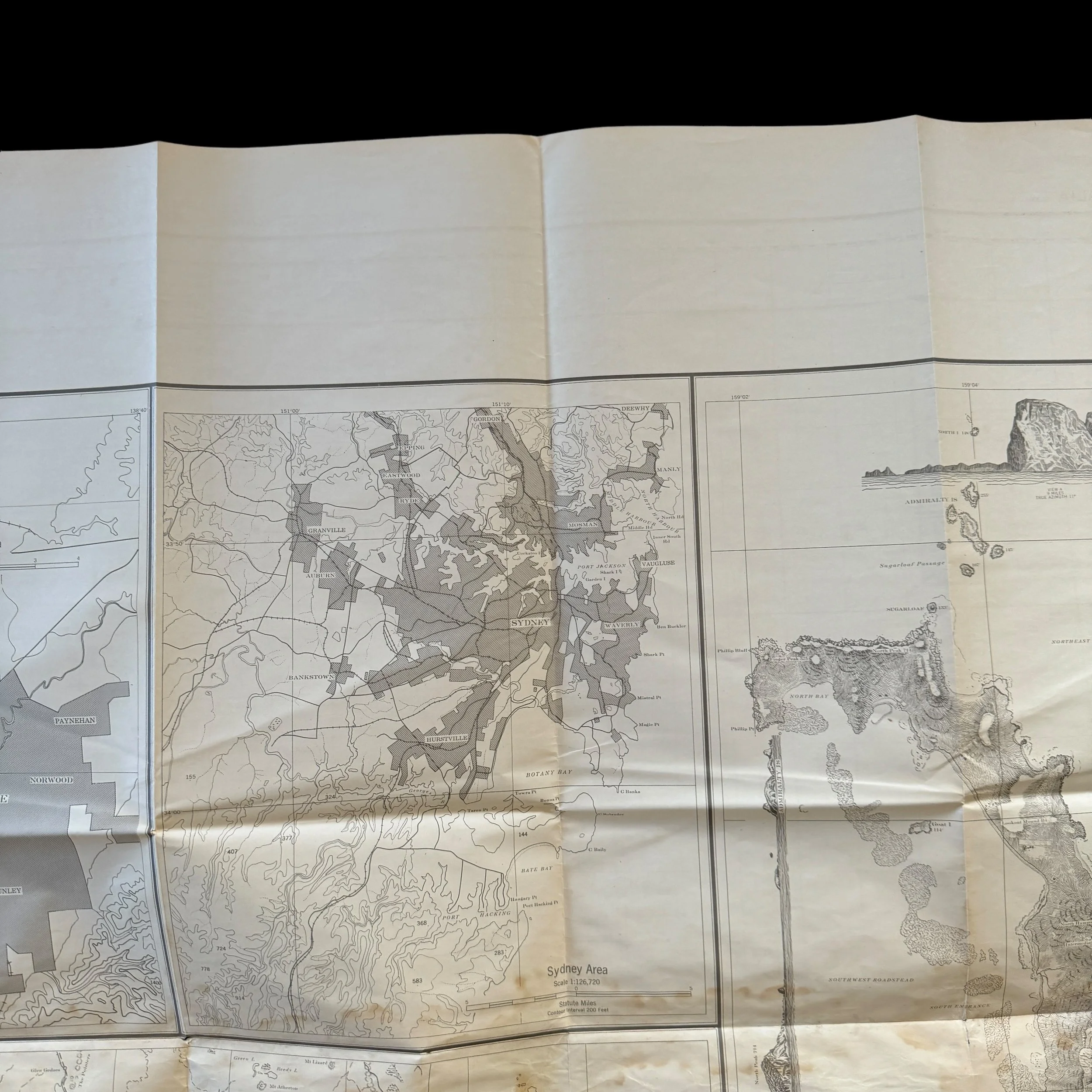
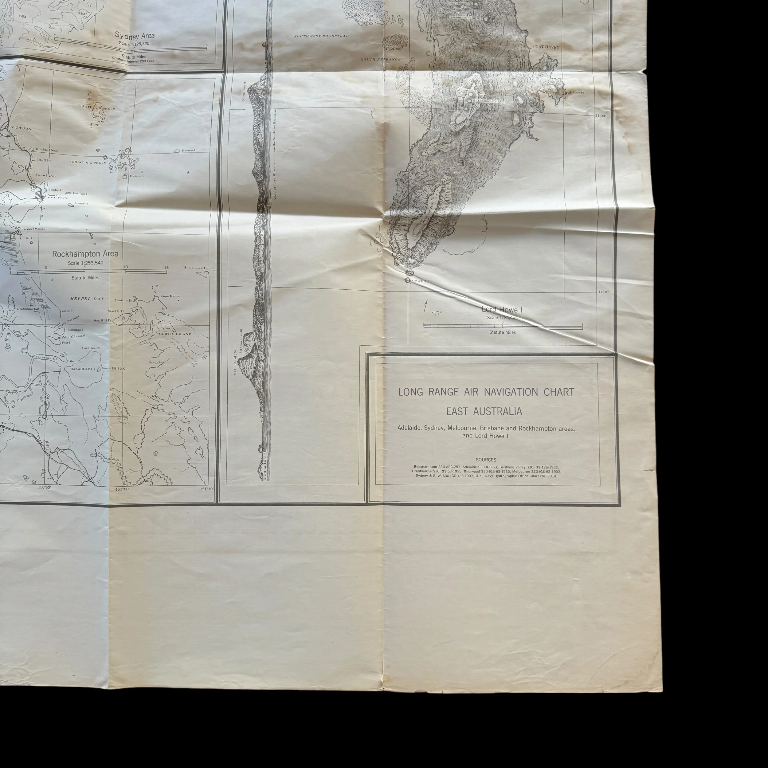
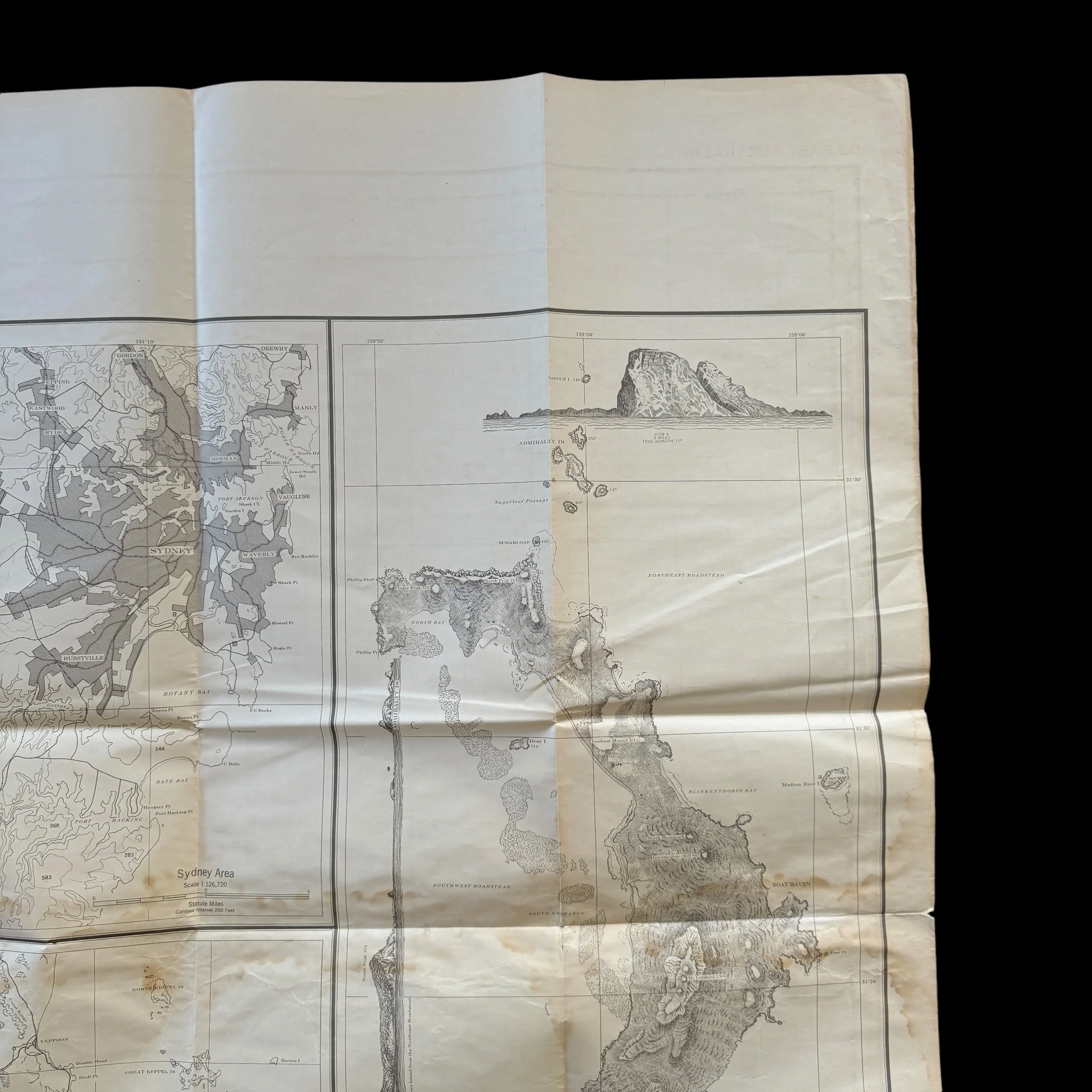
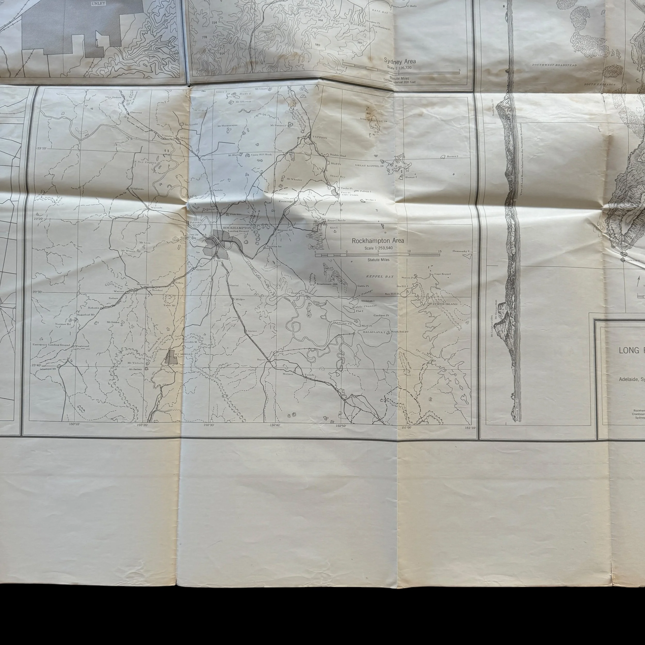
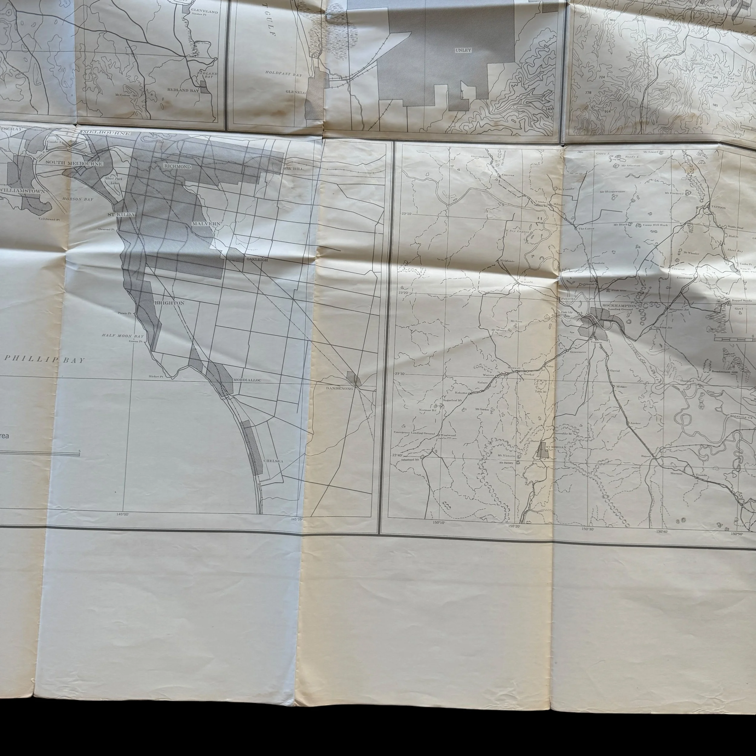
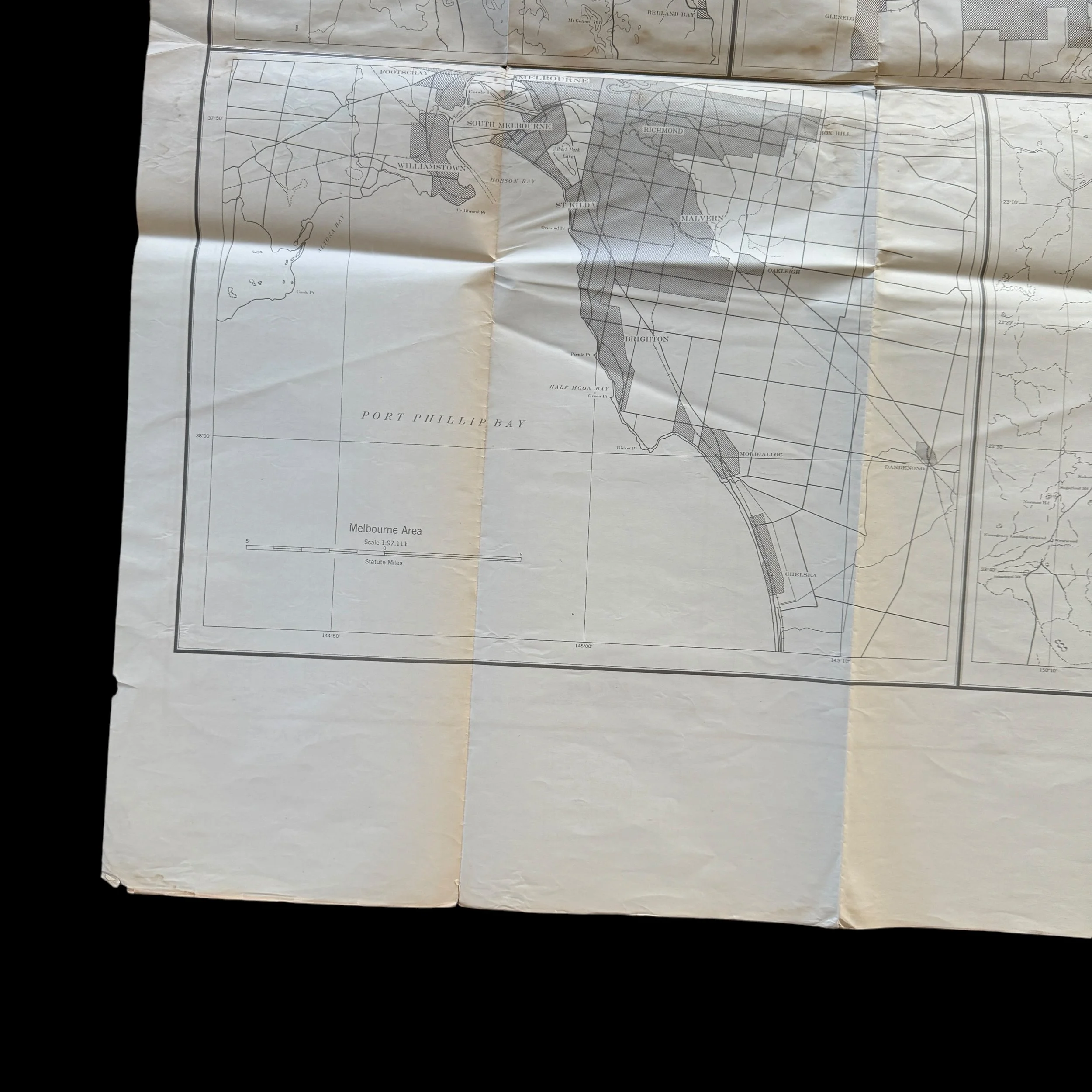
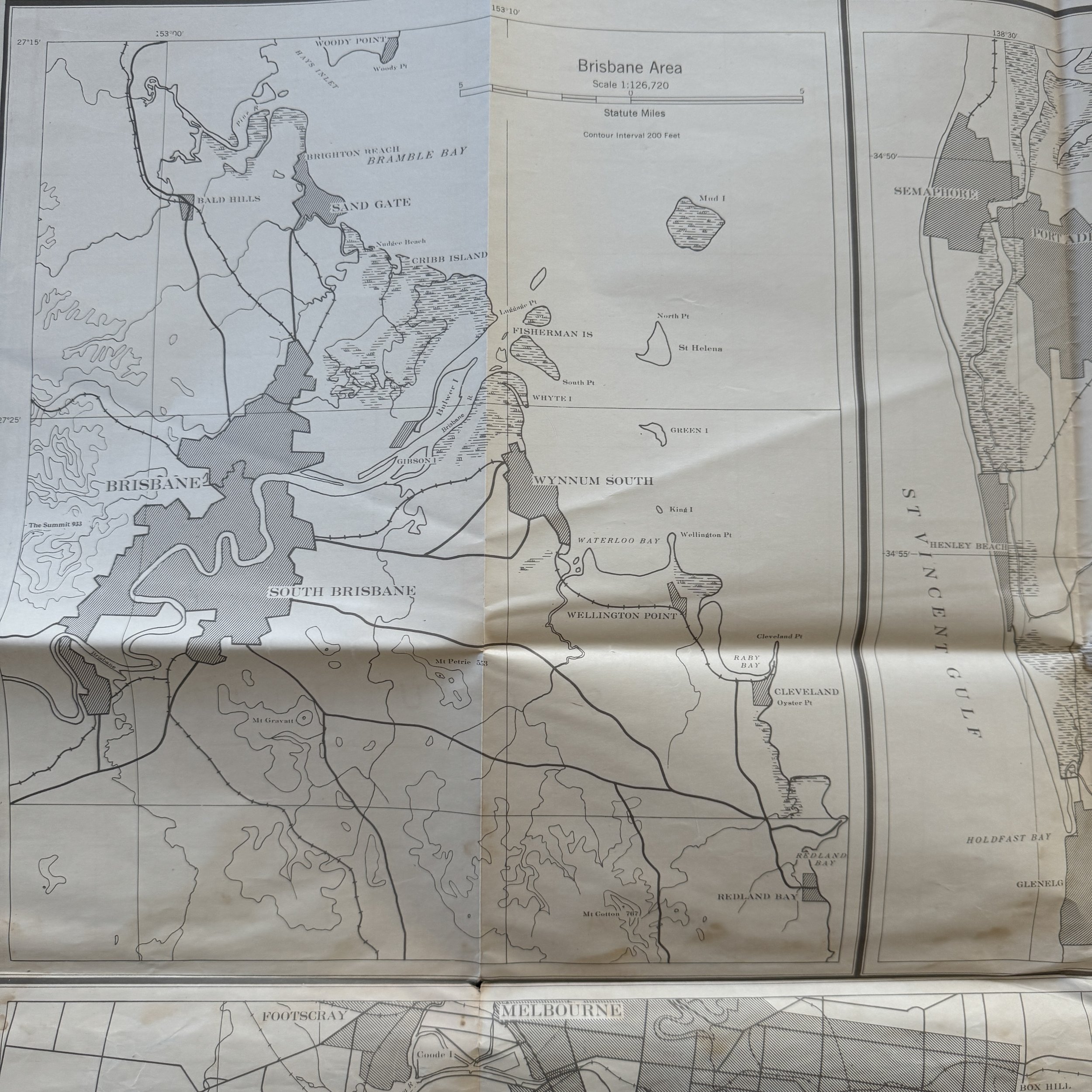
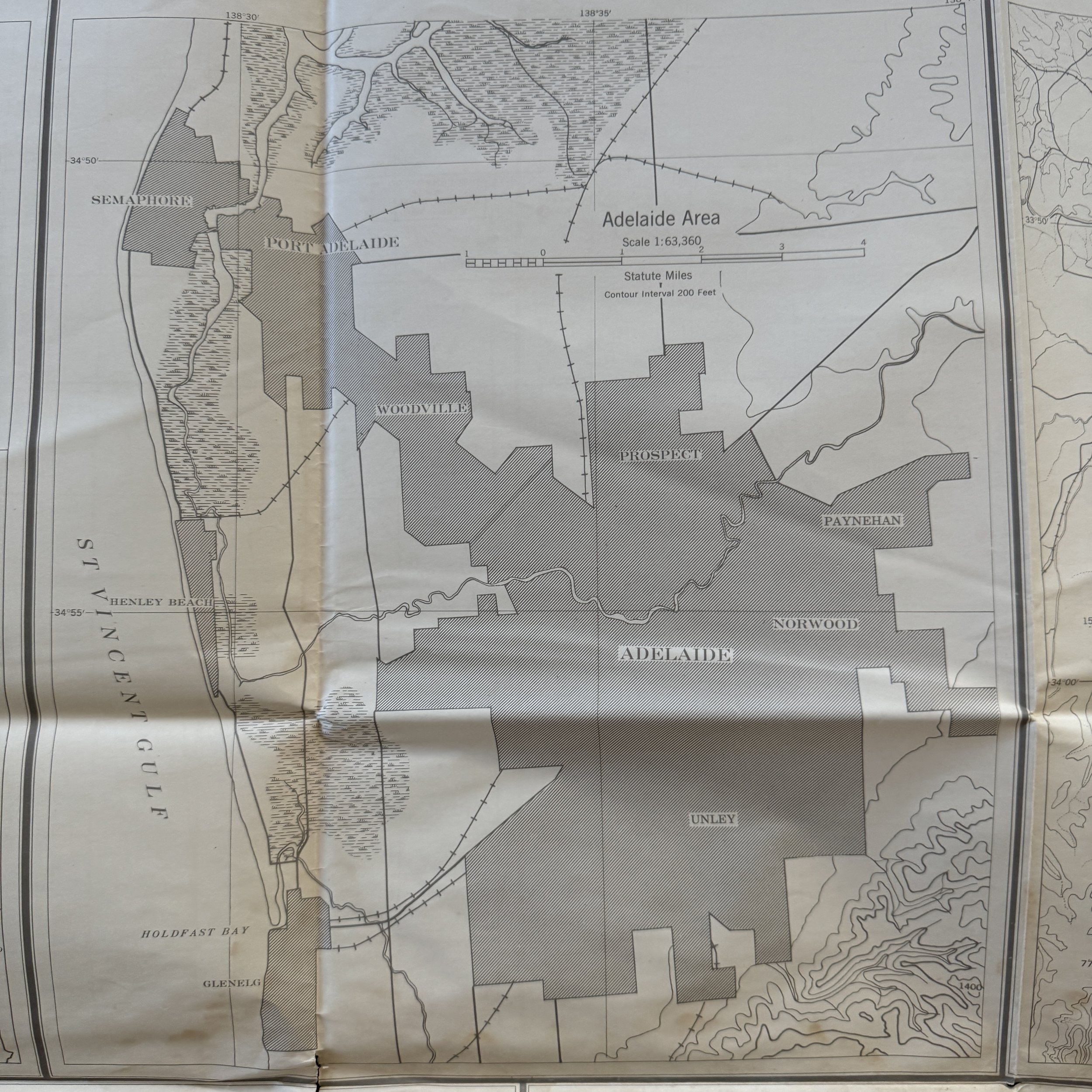
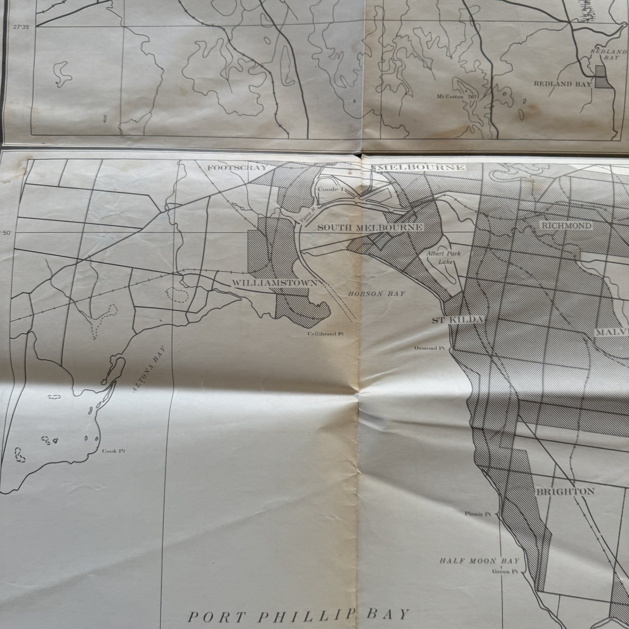
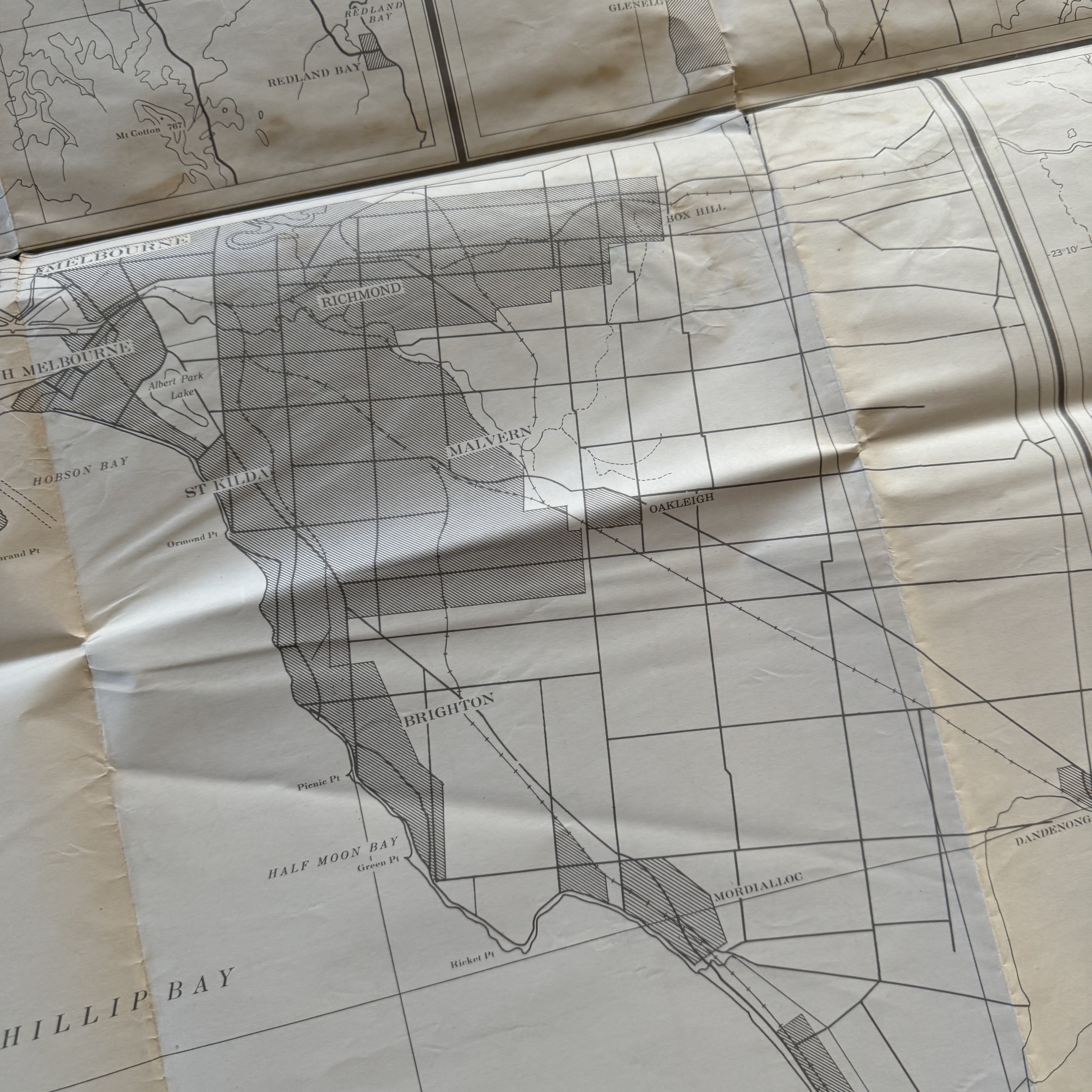
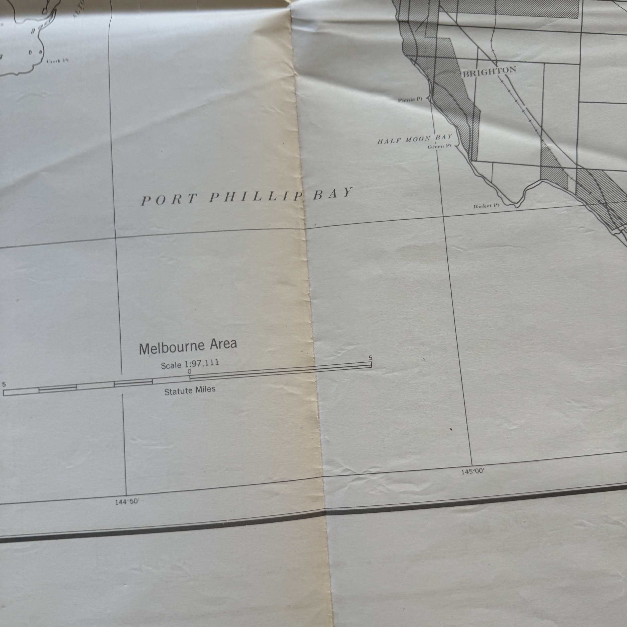
This exceptionally rare, museum-grade WWII artifact is an original February 1944 Restricted US Army Air Force Long-Range Navigation Chart of East Australia. Marked “Restricted,” this chart would have been a vital tool for air crews stationed in the Pacific Theater during one of the most critical periods of World War II. The designation "Restricted" highlights the sensitive nature of the information it contained, intended solely for military use and restricted from public access during the war. Its purpose was to guide long-range navigation across Australia, a strategic region in the Allied campaign to halt Japanese expansion.
Dated February 1944, the chart captures a moment when the Pacific Theater was reaching a turning point. By this time, U.S. forces, along with their Australian allies, had established airbases in Eastern Australia to support bombing missions, supply drops, and reconnaissance operations throughout the Southwest Pacific. The 5th Air Force, under the command of General George Kenney, was a key U.S. Army Air Force unit stationed in Australia during this period. Based in places like Brisbane and Townsville, the 5th Air Force played a vital role in supporting the island-hopping campaign against the Japanese Empire. Squadrons such as the 90th Bombardment Group (nicknamed the "Jolly Rogers") and the 475th Fighter Group were involved in offensive and defensive operations, flying B-24 Liberators, P-38 Lightnings, and other aircraft crucial to maintaining air superiority in the region.
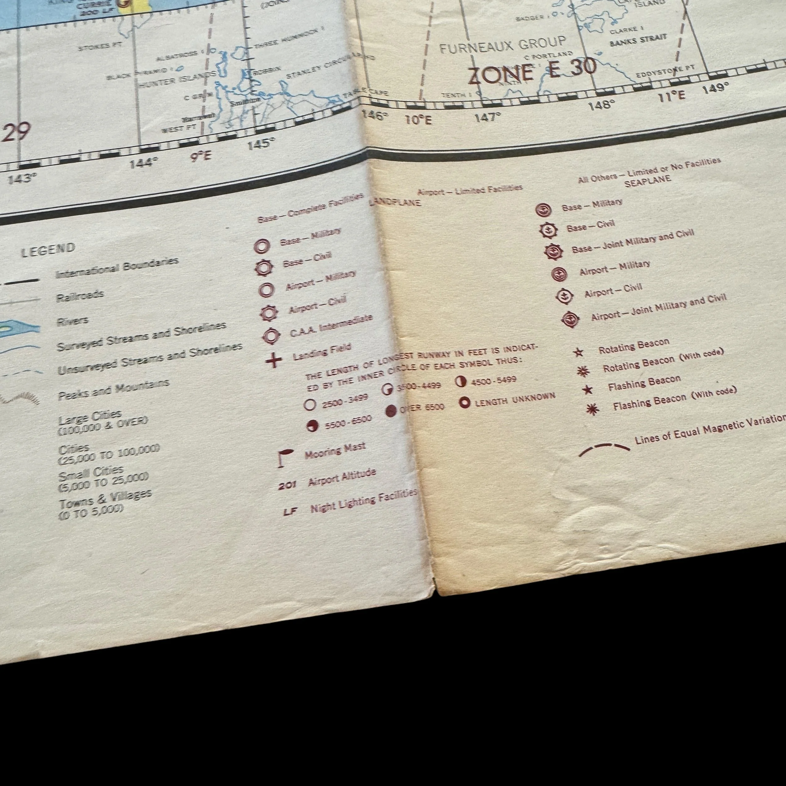
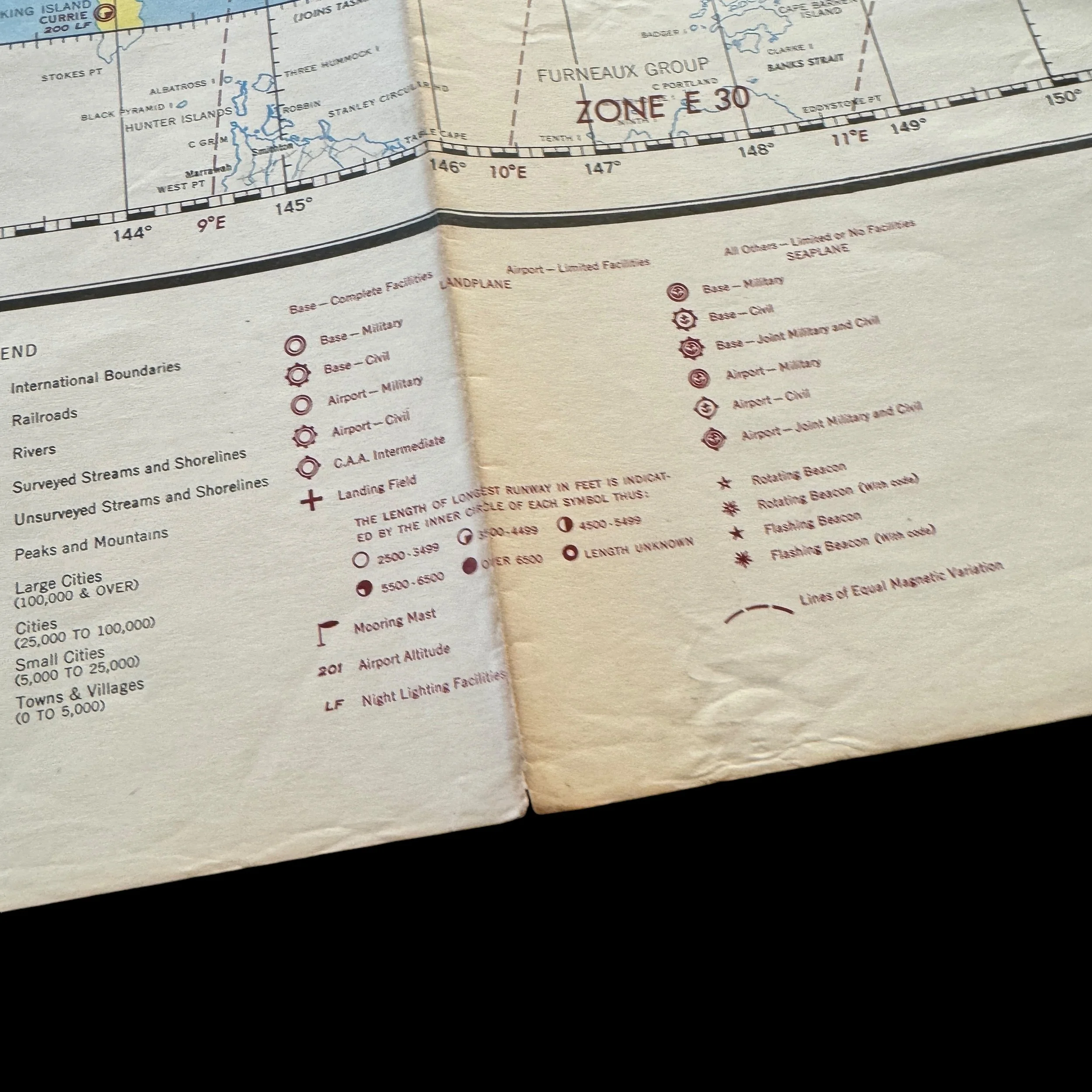
This particular chart would have been utilized by navigators aboard these aircraft as they traversed long distances over the vast, sparsely populated expanses of the Australian continent and the surrounding waters. Long-range navigation was critical in this theater, as pilots often flew without the benefit of well-established landmarks or radar. Instead, they relied on maps like this one, which provided key data on terrain, weather patterns, and potential airfields. Accurate navigation was not only vital for the success of bombing raids and reconnaissance missions but also for ensuring the safety of crews who faced the dangers of fuel shortages, mechanical failures, and unpredictable weather conditions.
Eastern Australia, positioned strategically near the Coral Sea, served as a critical staging area for operations into New Guinea, the Solomon Islands, and the Dutch East Indies. U.S. Army Air Force crews stationed there were tasked with supporting the ground campaigns that pushed Japanese forces back from their conquests. The Battle of the Bismarck Sea and Operation Cartwheel, aimed at neutralizing the major Japanese base at Rabaul, were some of the key operations that depended on the air support originating from bases in Australia. The restricted navigation chart reflects the high-stakes environment in which these air crews operated, navigating vast distances over hostile territory to strike critical enemy positions while providing intelligence that shaped the course of the war in the Pacific.
This chart, therefore, stands as a remarkable testament to the ingenuity, courage, and technical skill of the U.S. Army Air Force crews who fought in the Pacific Theater. As they traversed the skies over East Australia and beyond, these airmen relied on charts like this one to guide them safely to their targets and back. Today, few such charts survive, as many were destroyed after the war or lost to time. Those that remain are considered high-end museum-grade artifacts, valuable not only for their historical significance but also for the glimpse they offer into the day-to-day operations of one of the most challenging campaigns in modern military history.
Accompanying this rare artifact is a hand-signed Certificate of Authenticity, ensuring that this Restricted US Army Air Force Long-Range Navigation Chart of East Australia is a genuine piece of World War II history. Its preservation allows future generations to appreciate the technical and strategic complexities faced by Allied forces as they fought to liberate the Pacific from Axis domination.