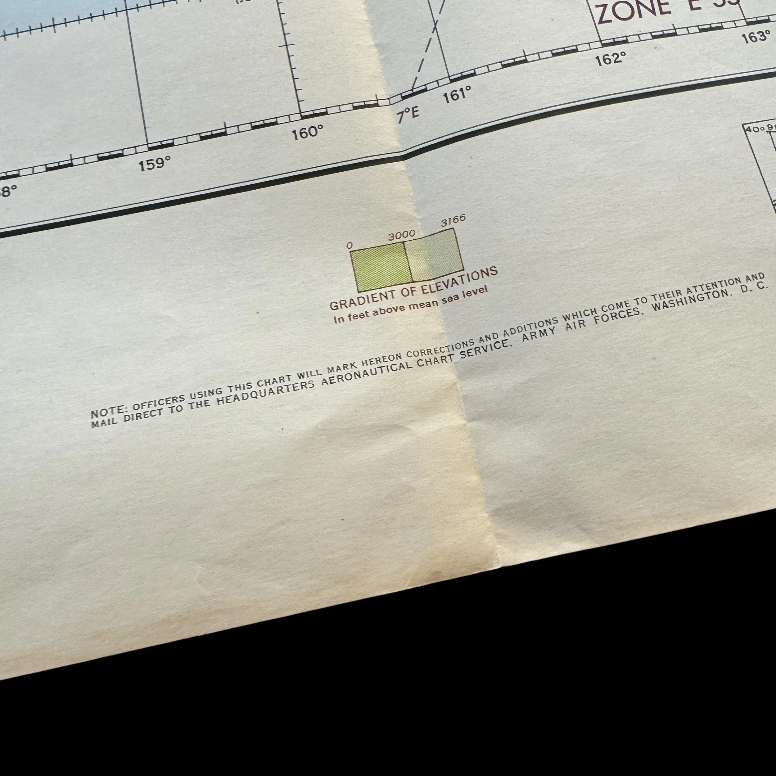
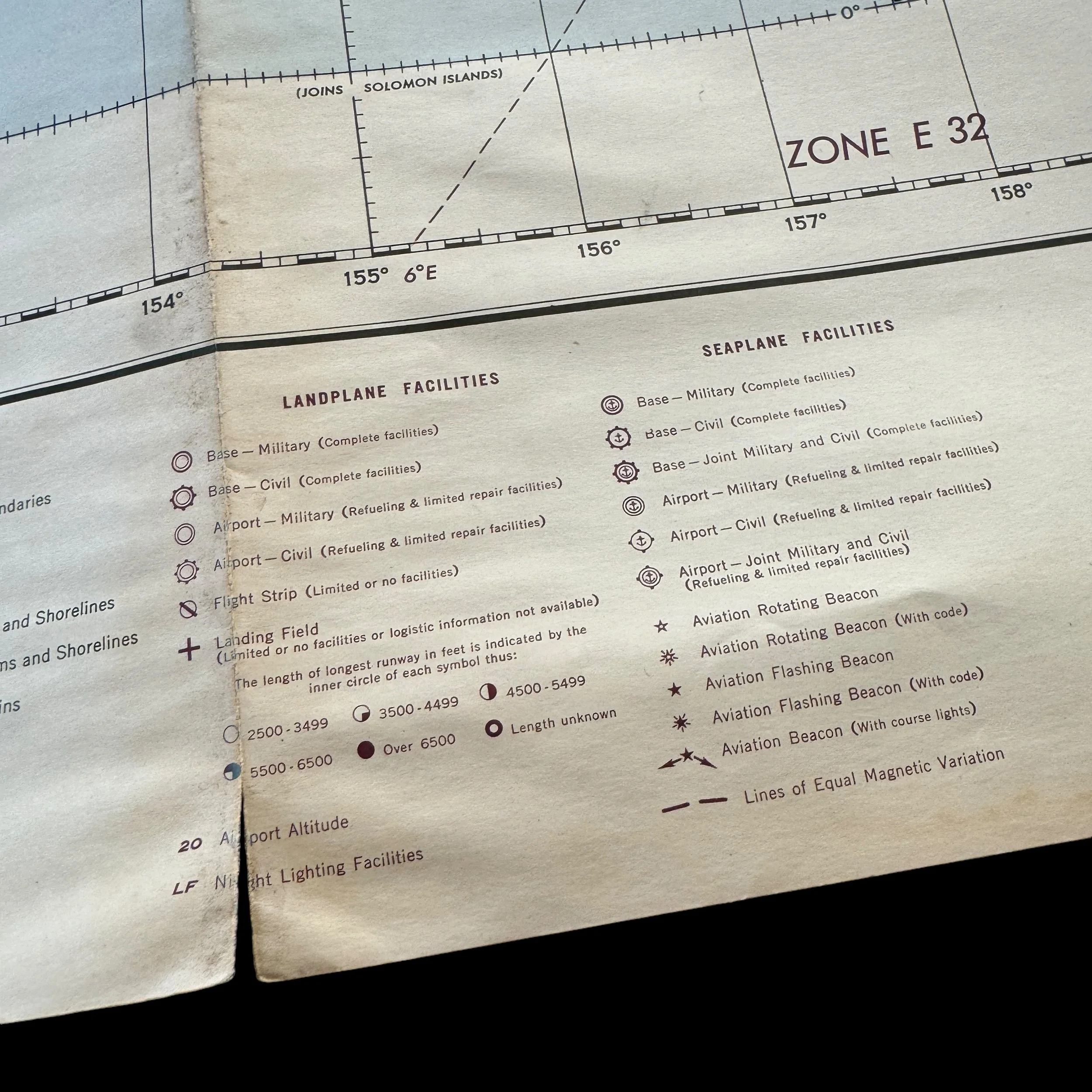
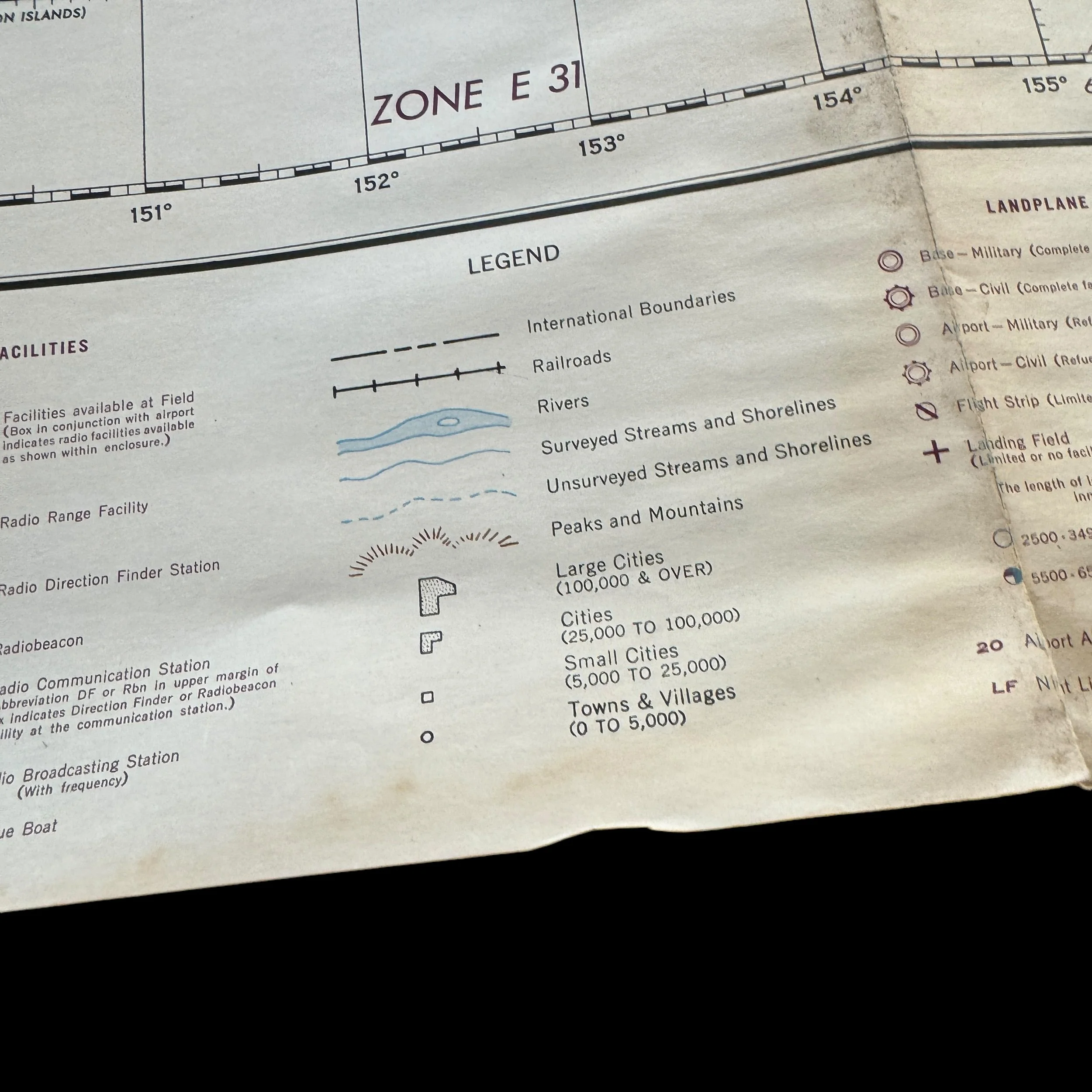
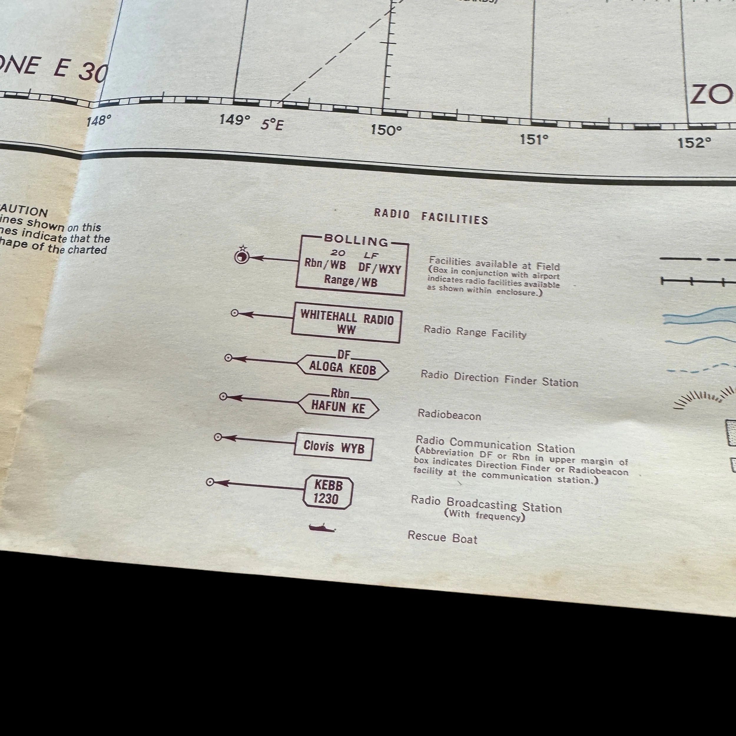
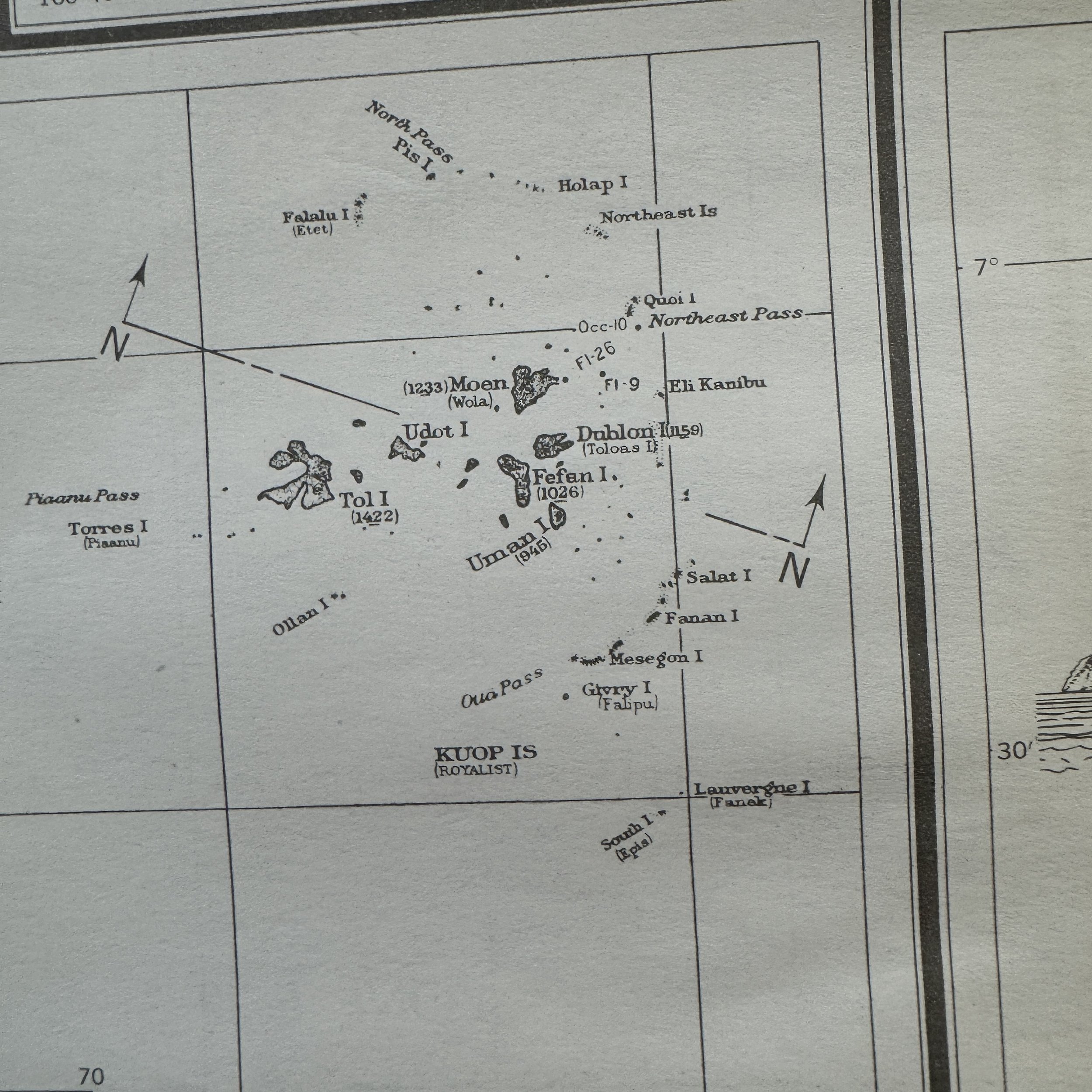
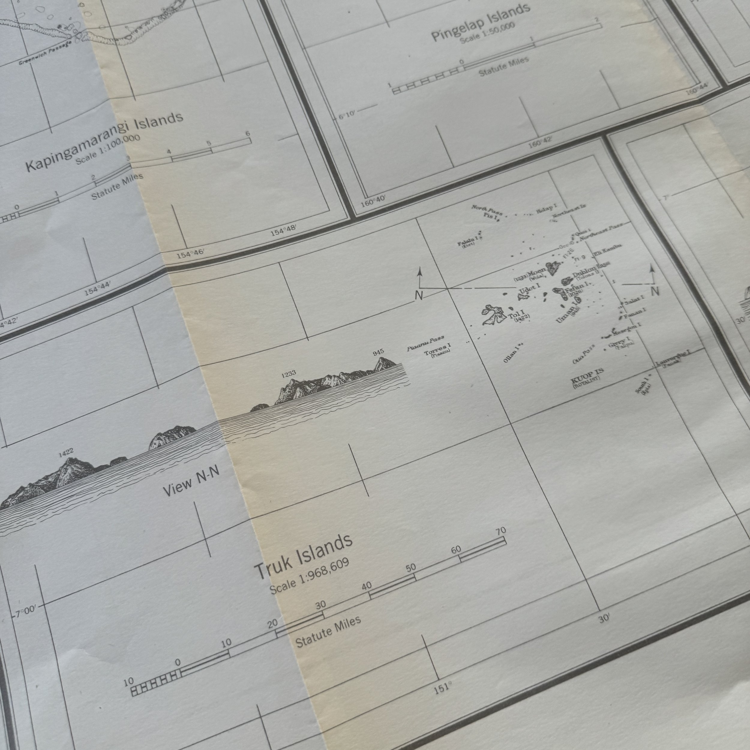
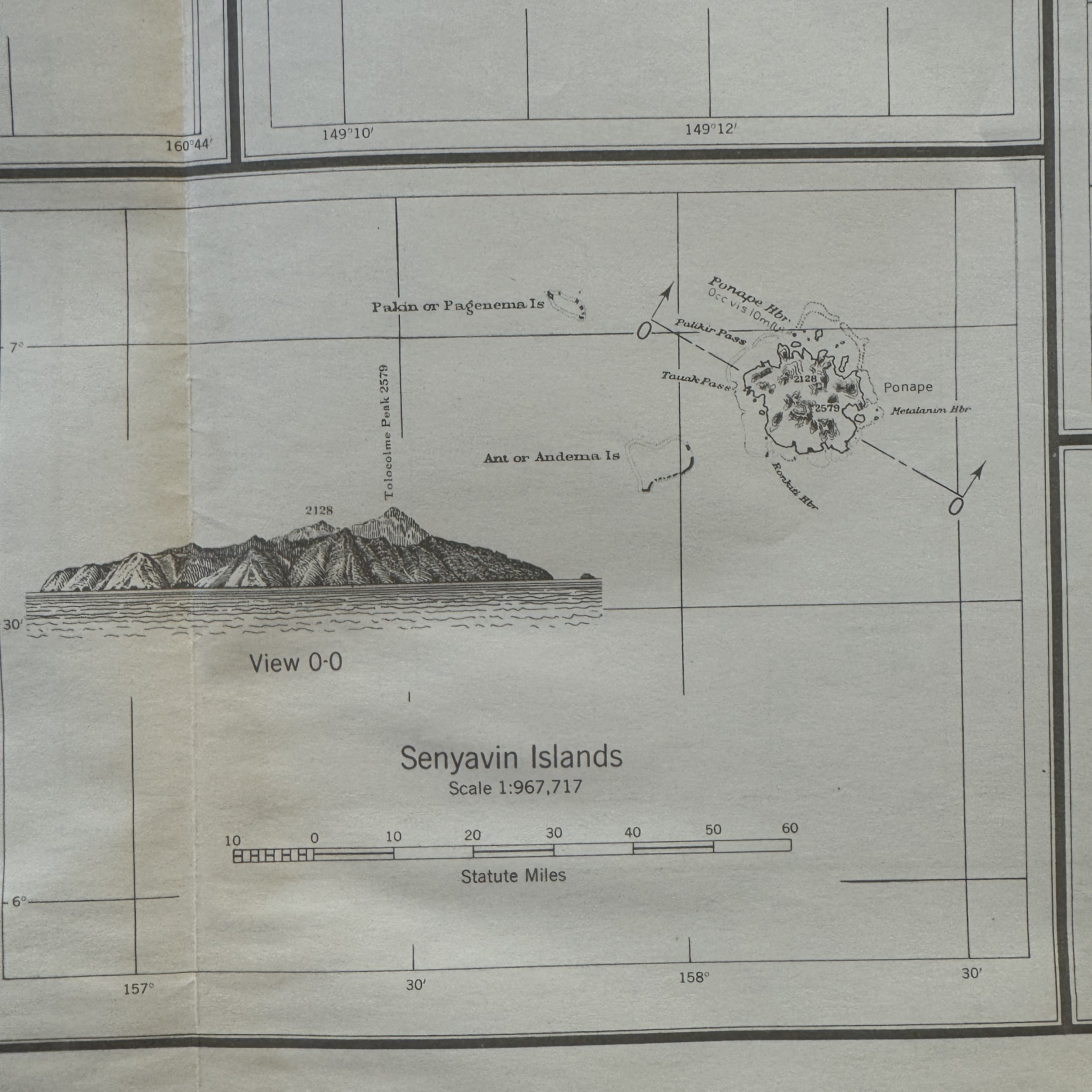
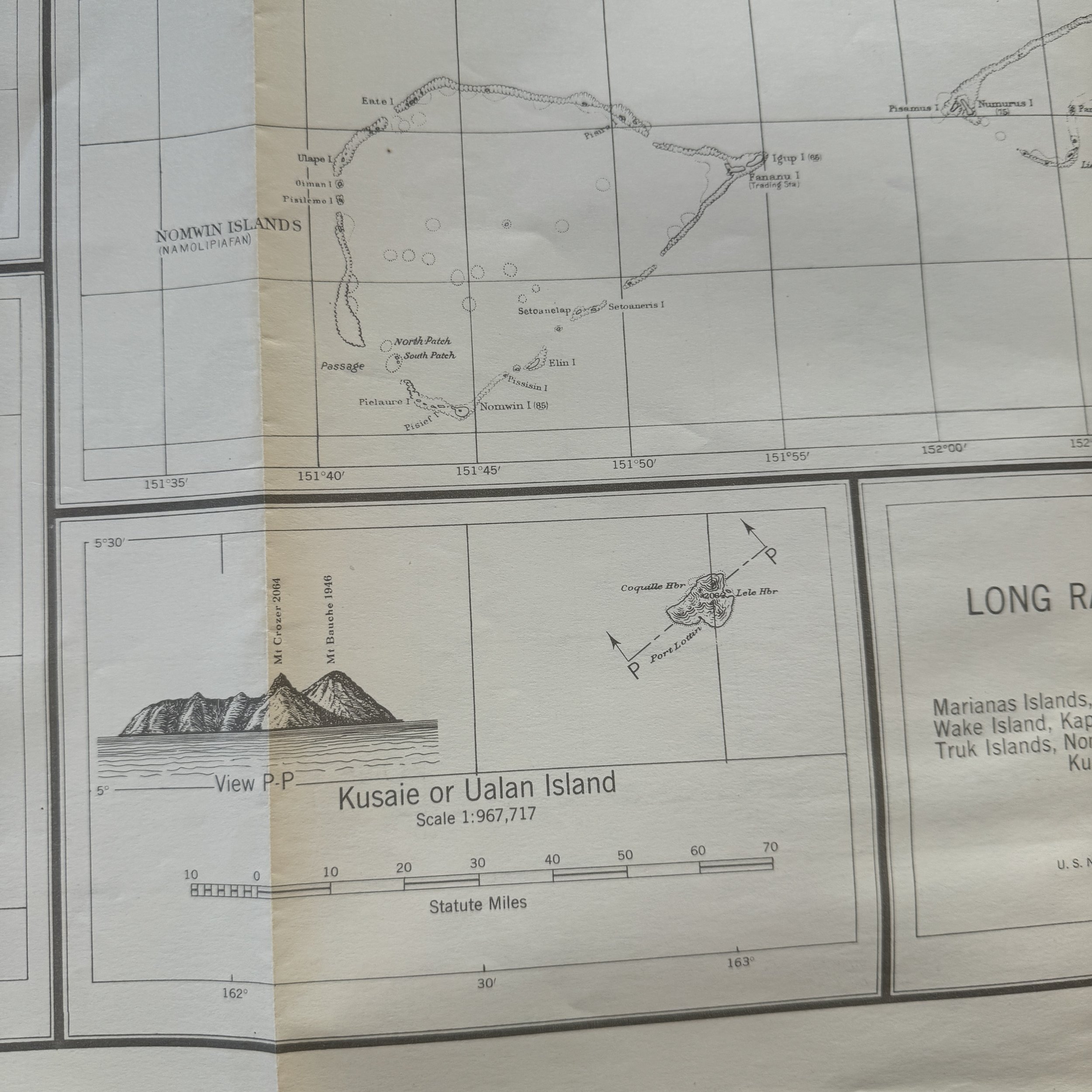
RARE! WWII 1943 "Restricted" B-29 Superfortress U.S. Army Air Force Long-Range Navigation Chart of the Caroline Islands (Tinian, Guam, the Marianas)
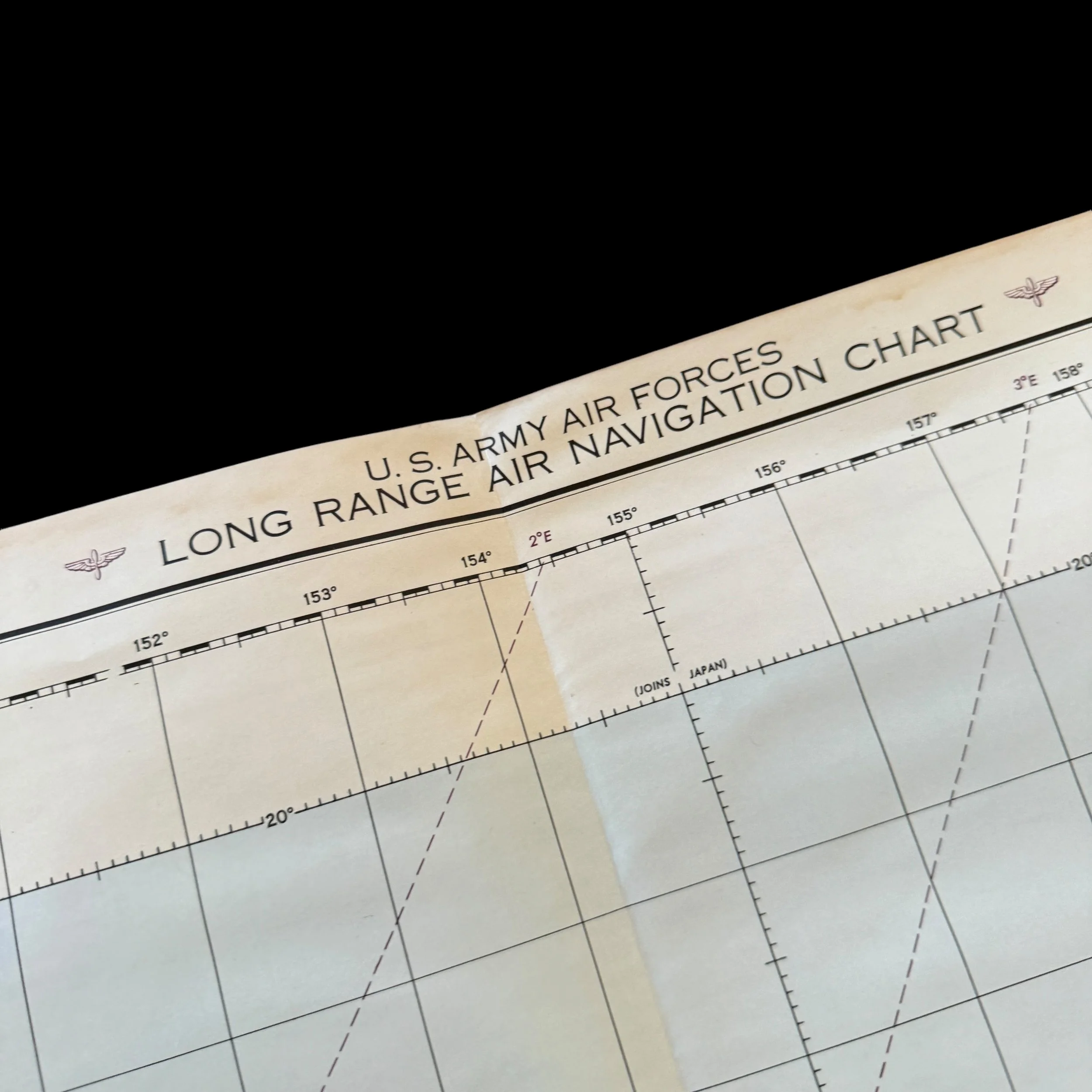
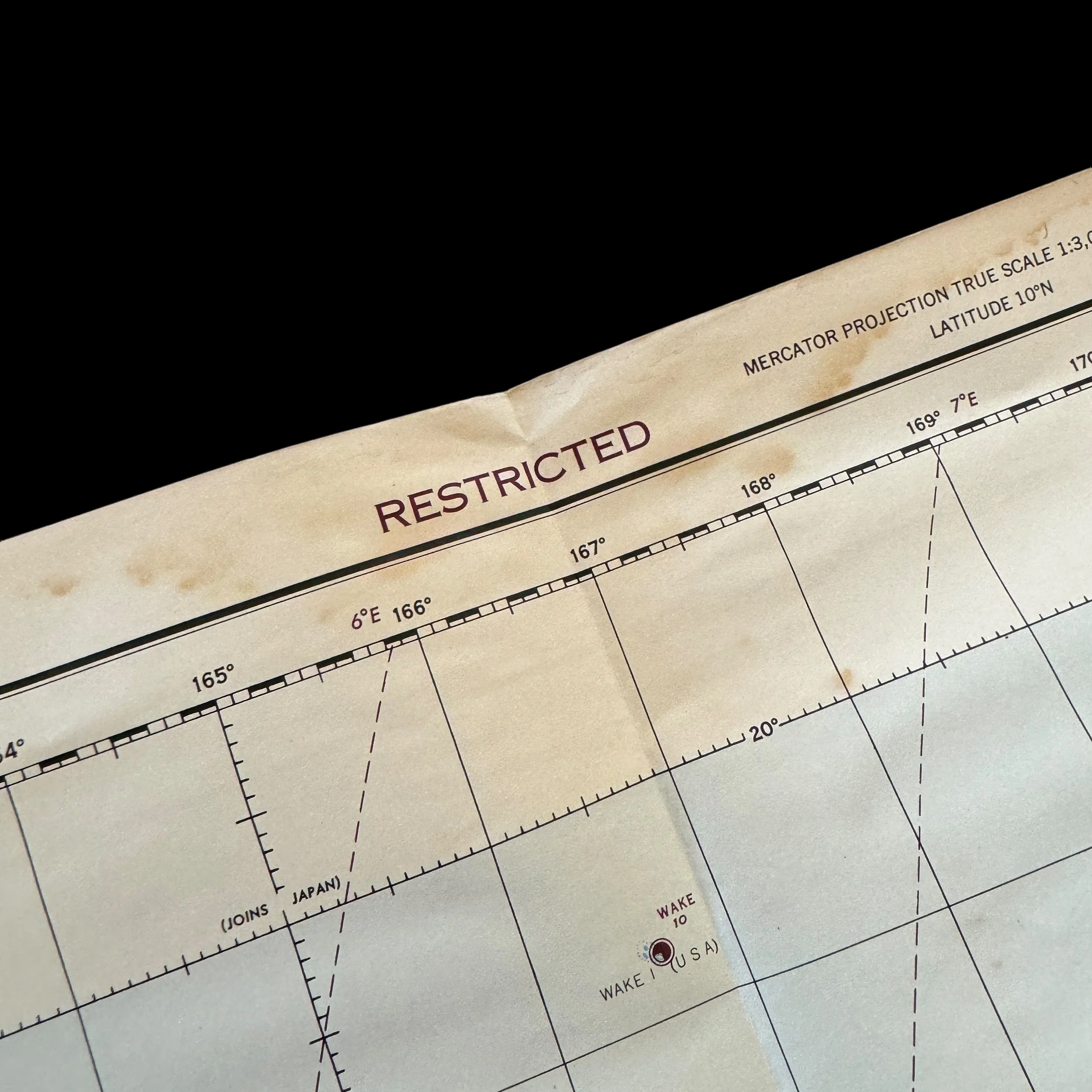
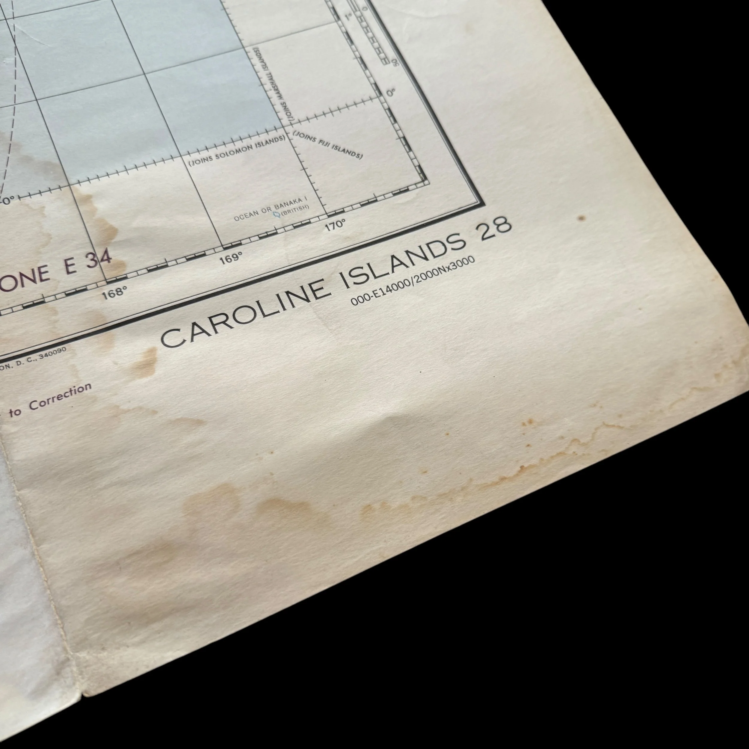

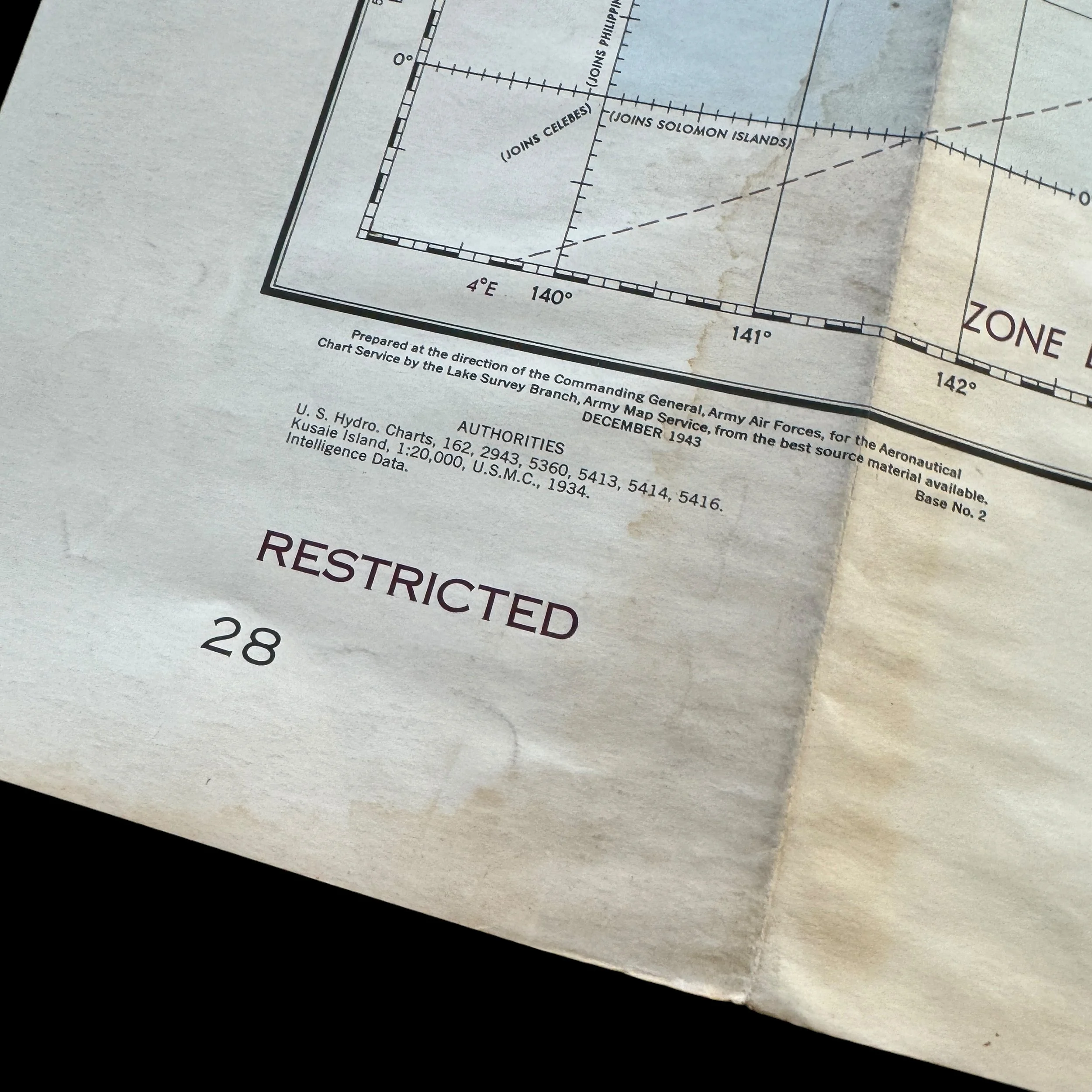
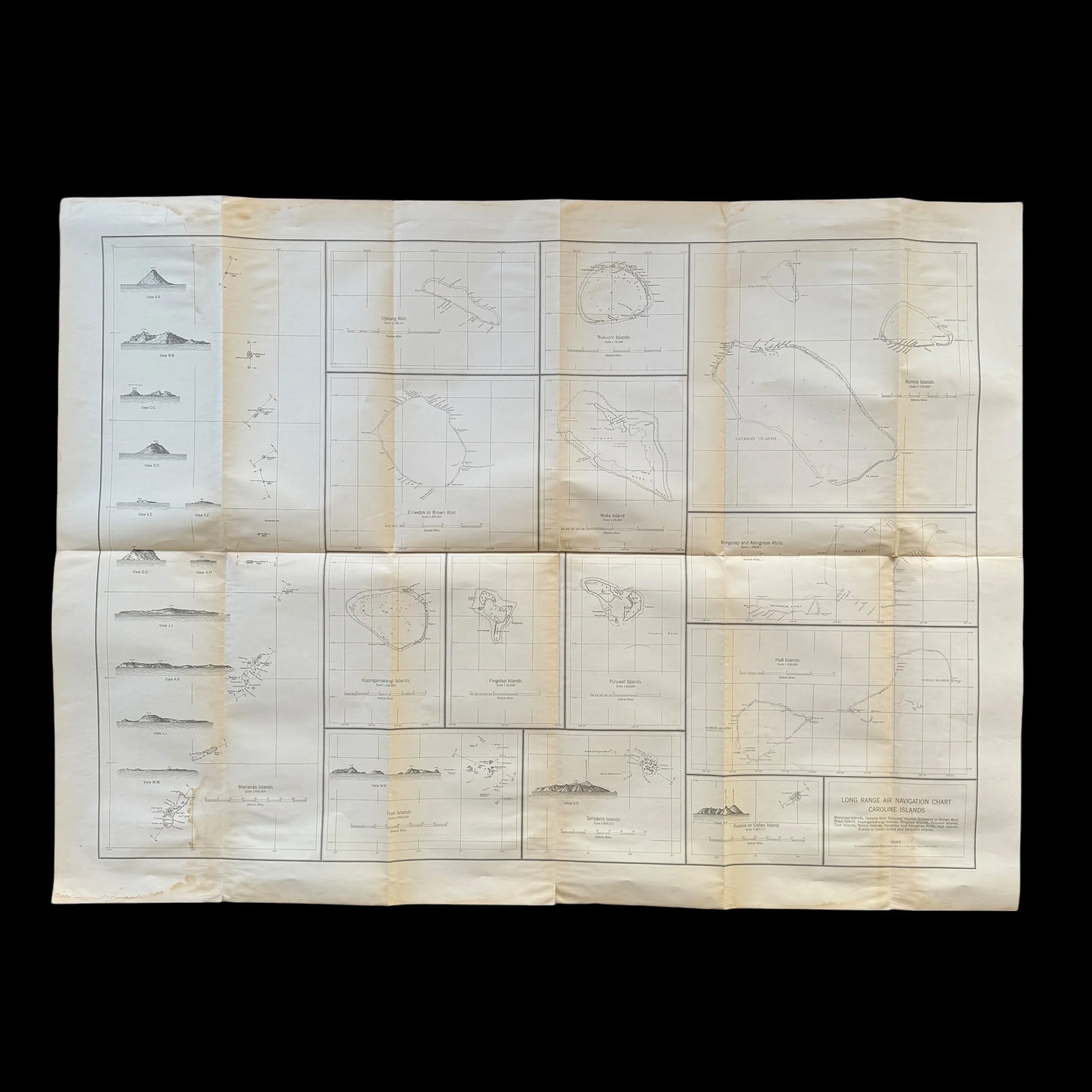
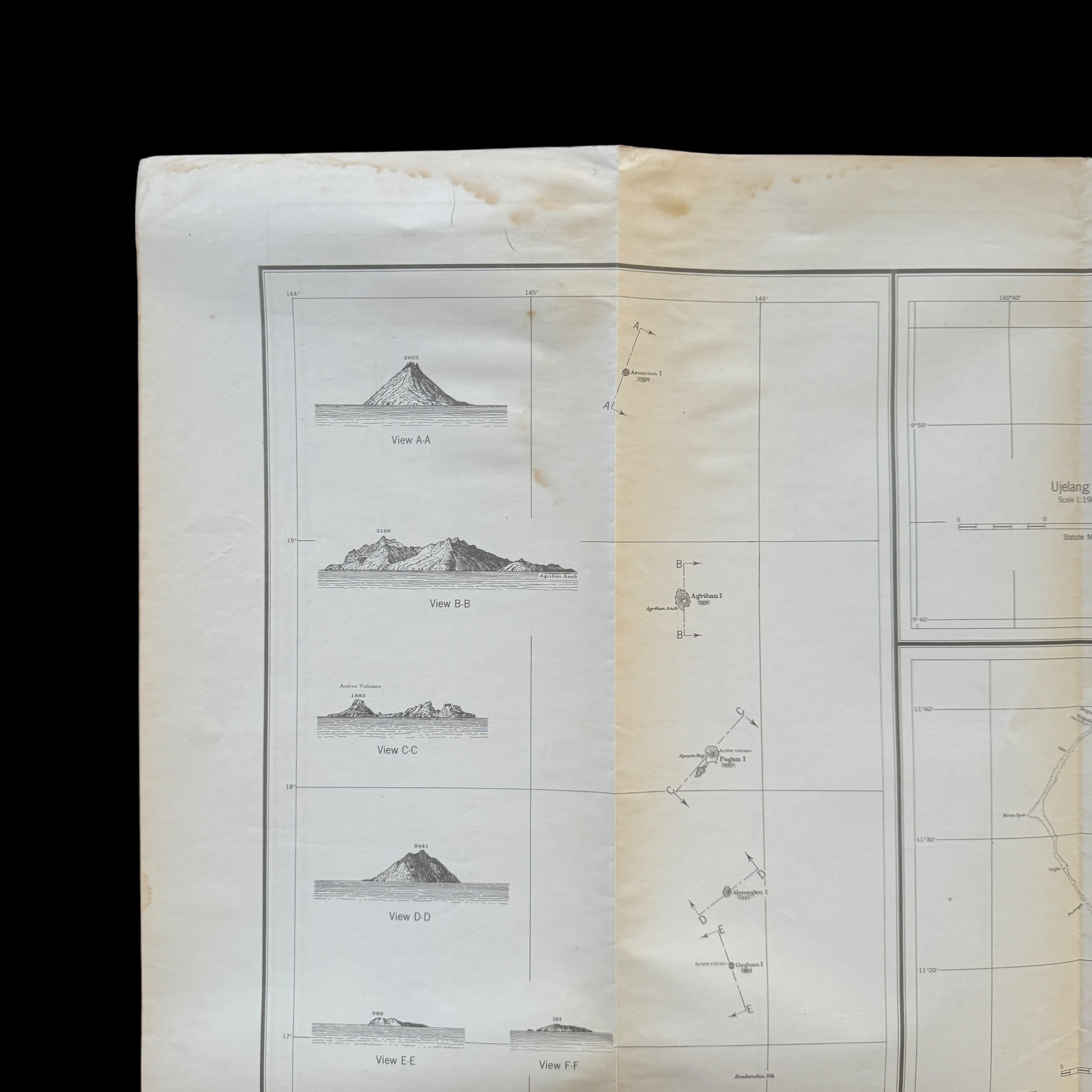
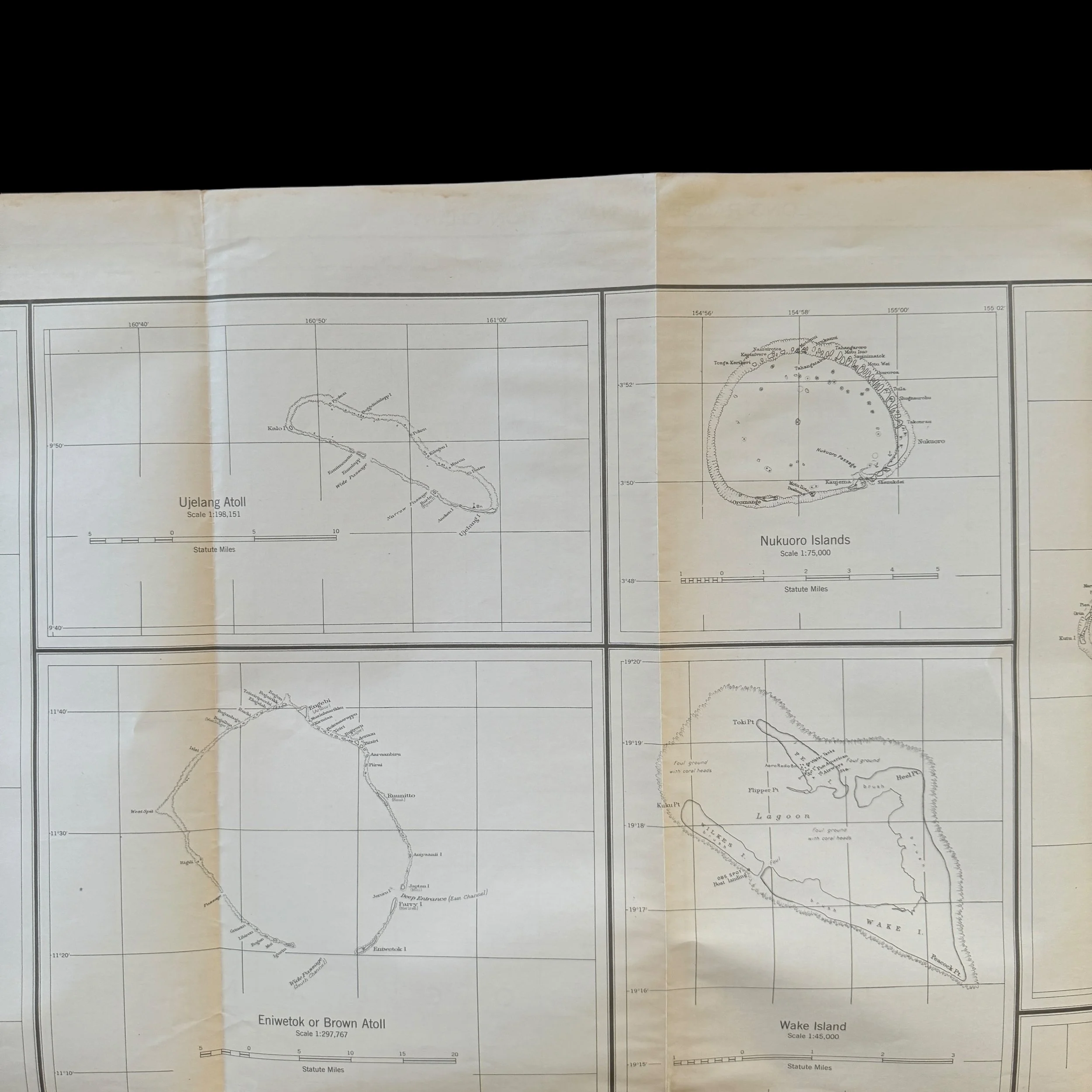







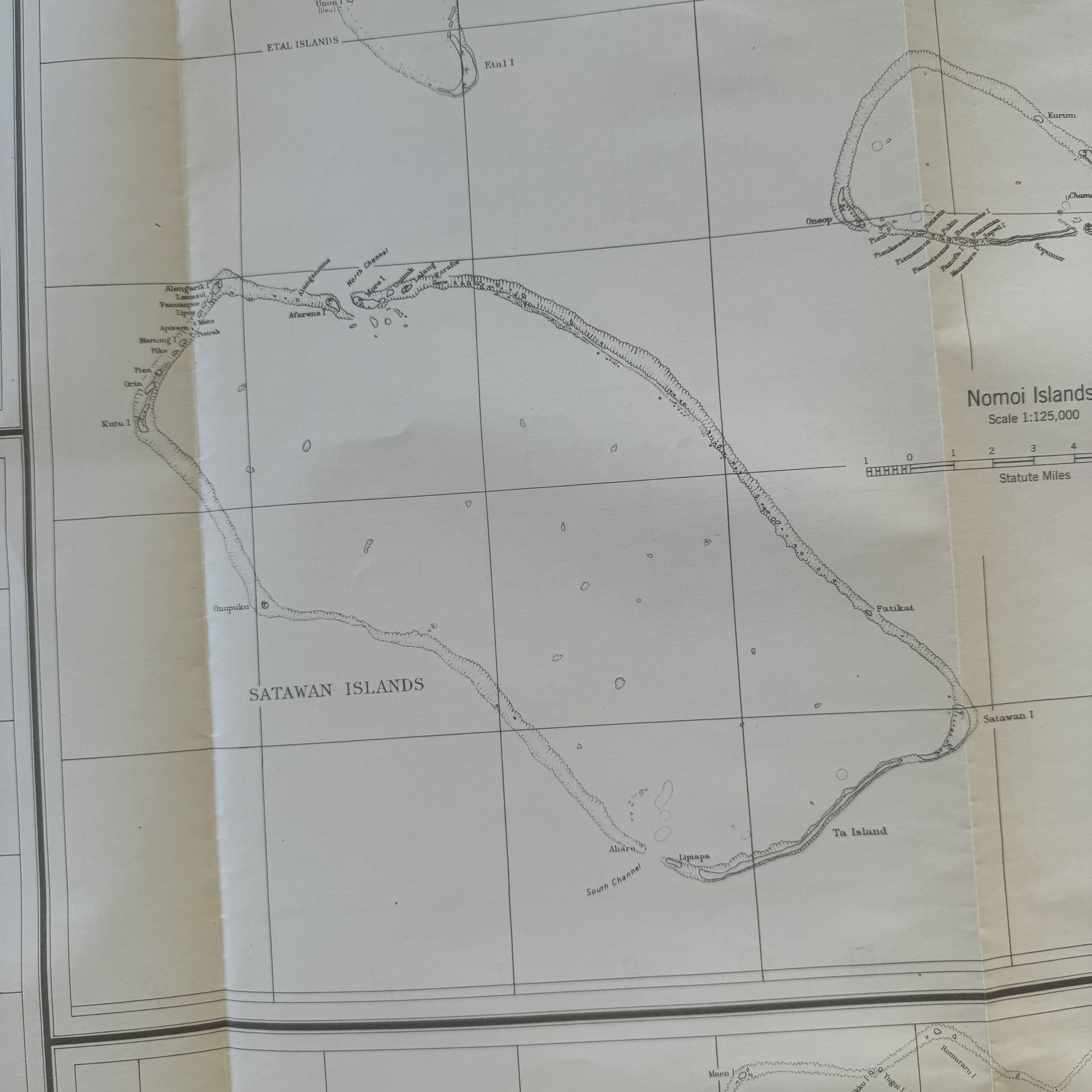

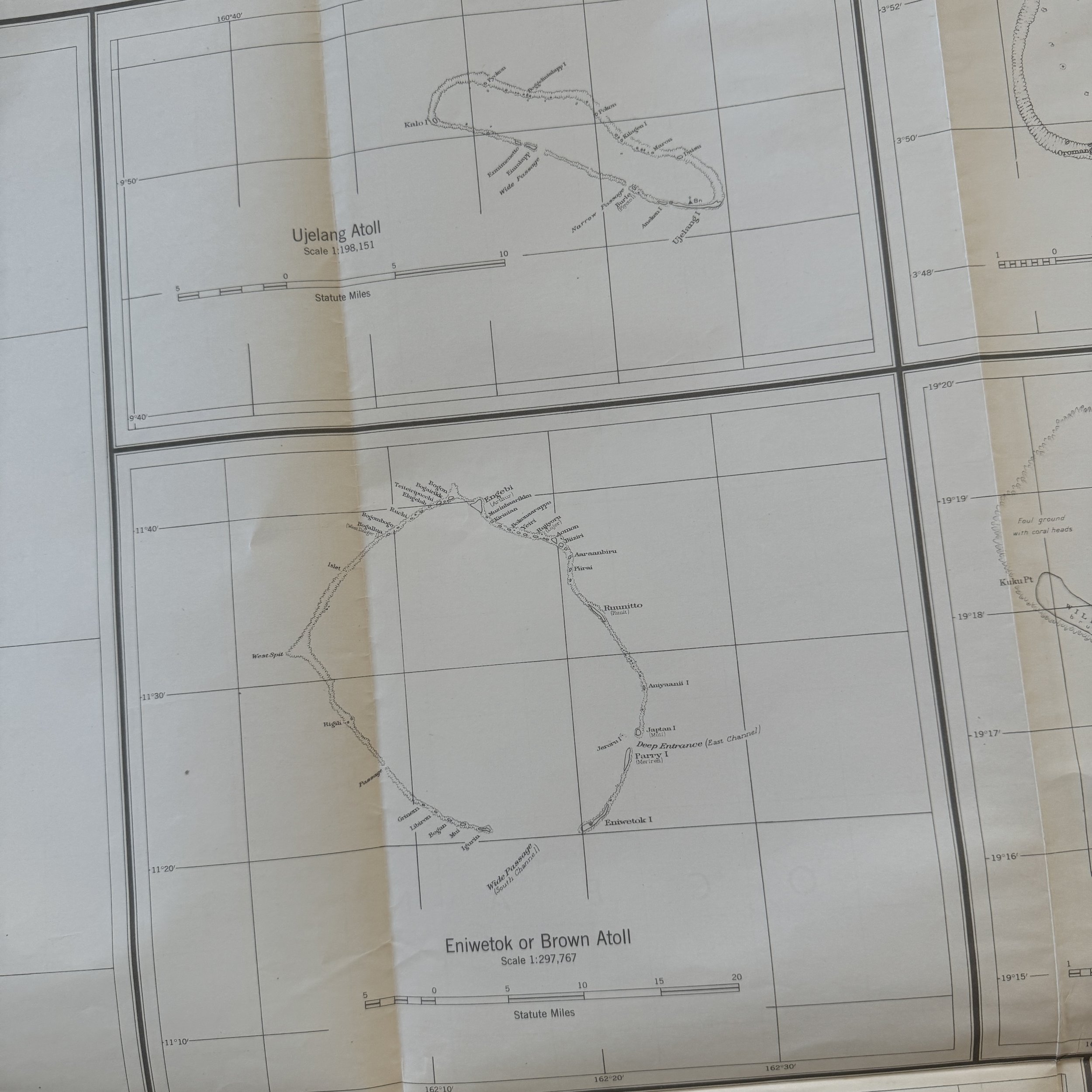
RARE! WWII 1943 "Restricted" B-29 Superfortress U.S. Army Air Force Long-Range Navigation Chart of the Caroline Islands (Tinian, Guam, the Marianas)
Comes with a hand-signed C.O.A.
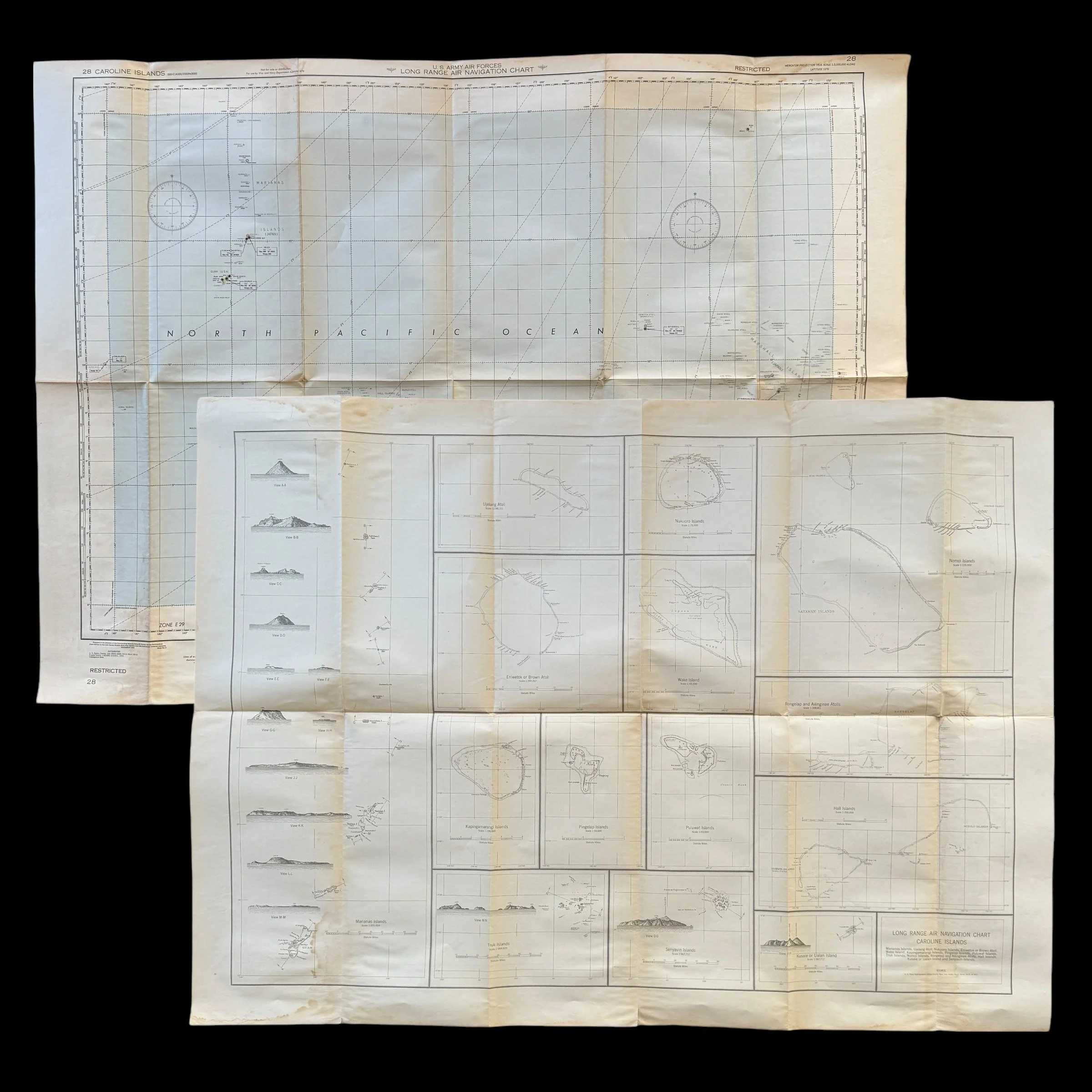
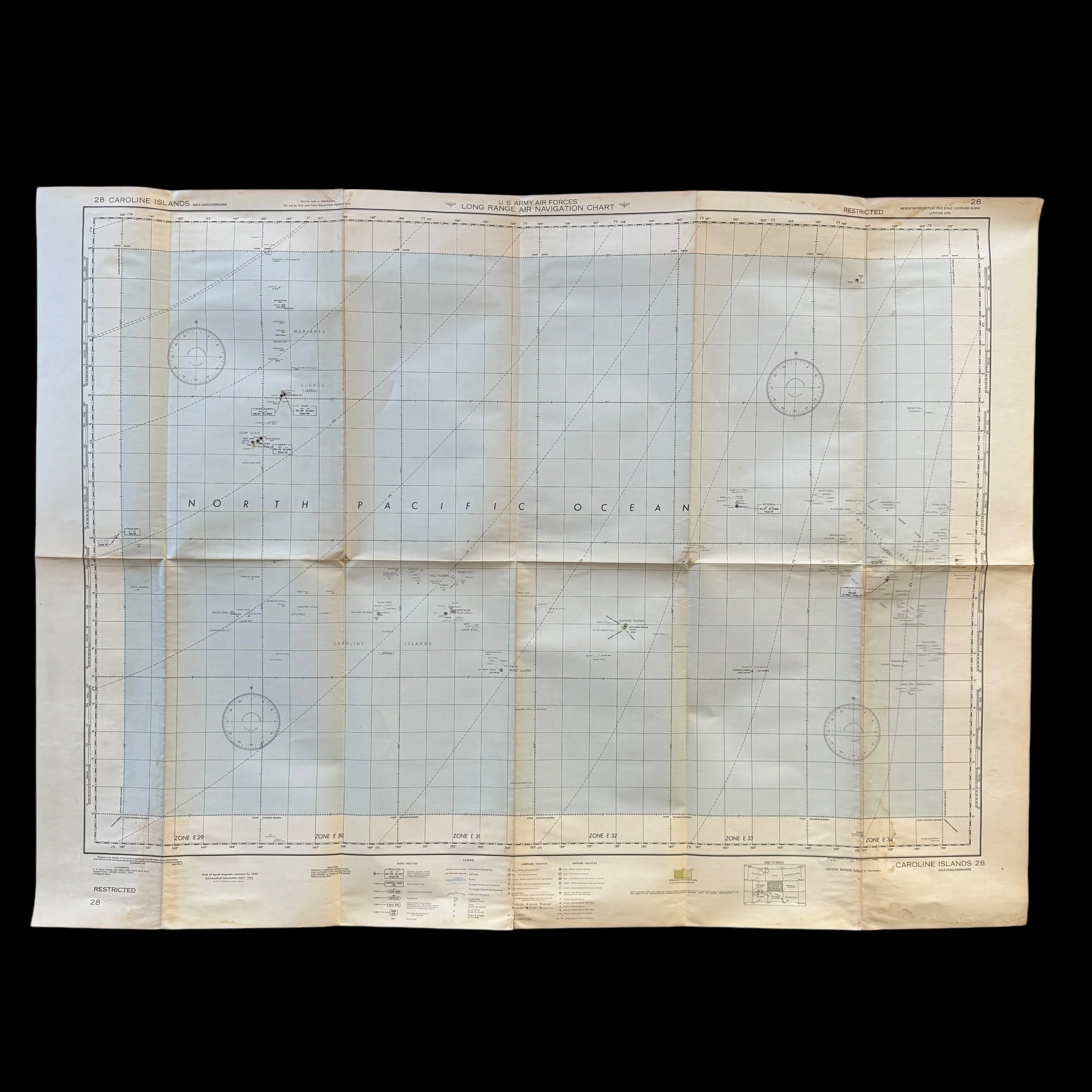
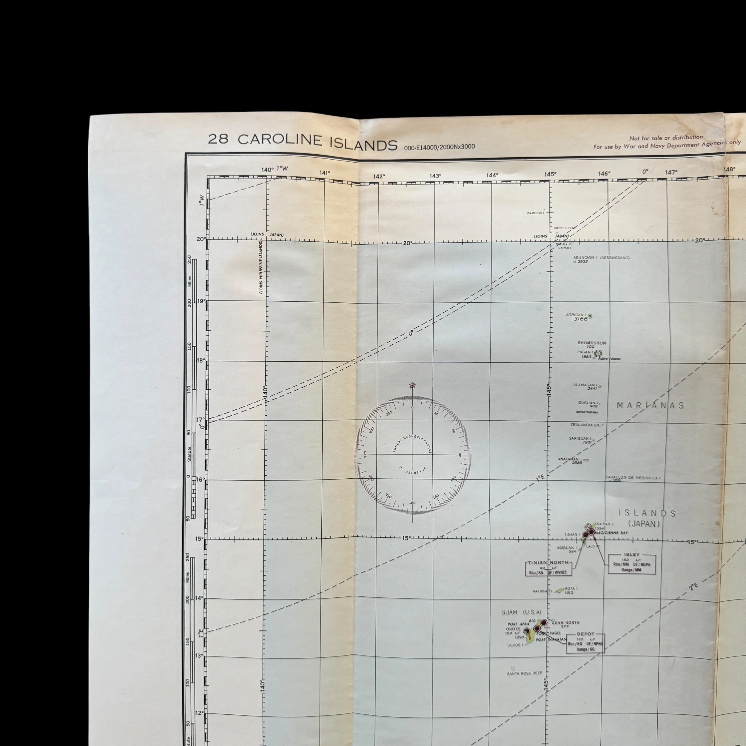
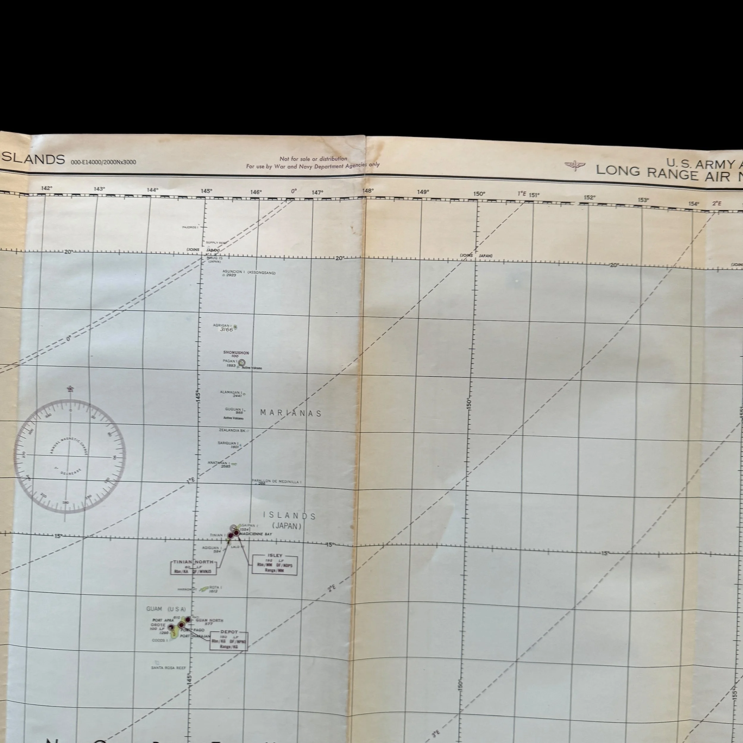
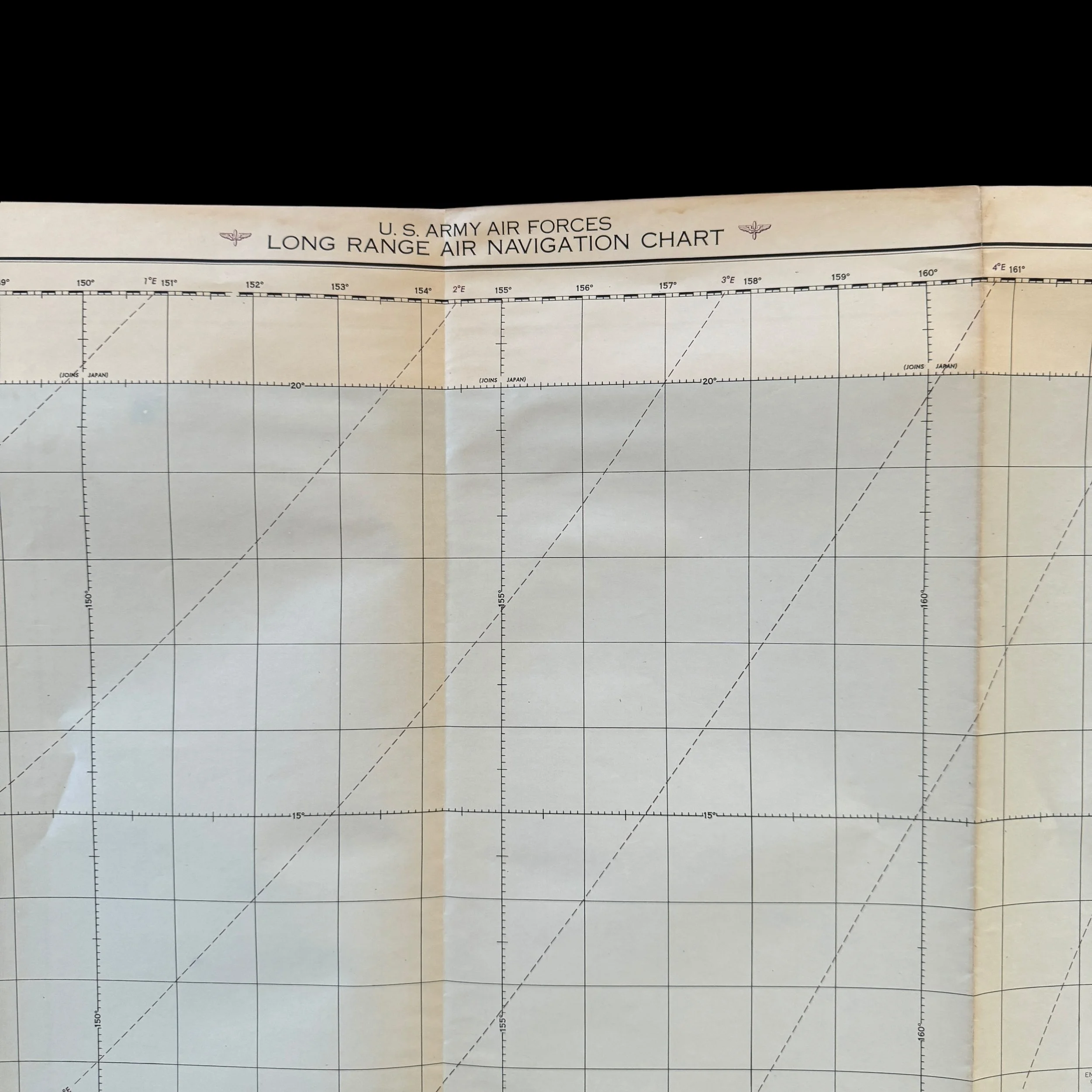
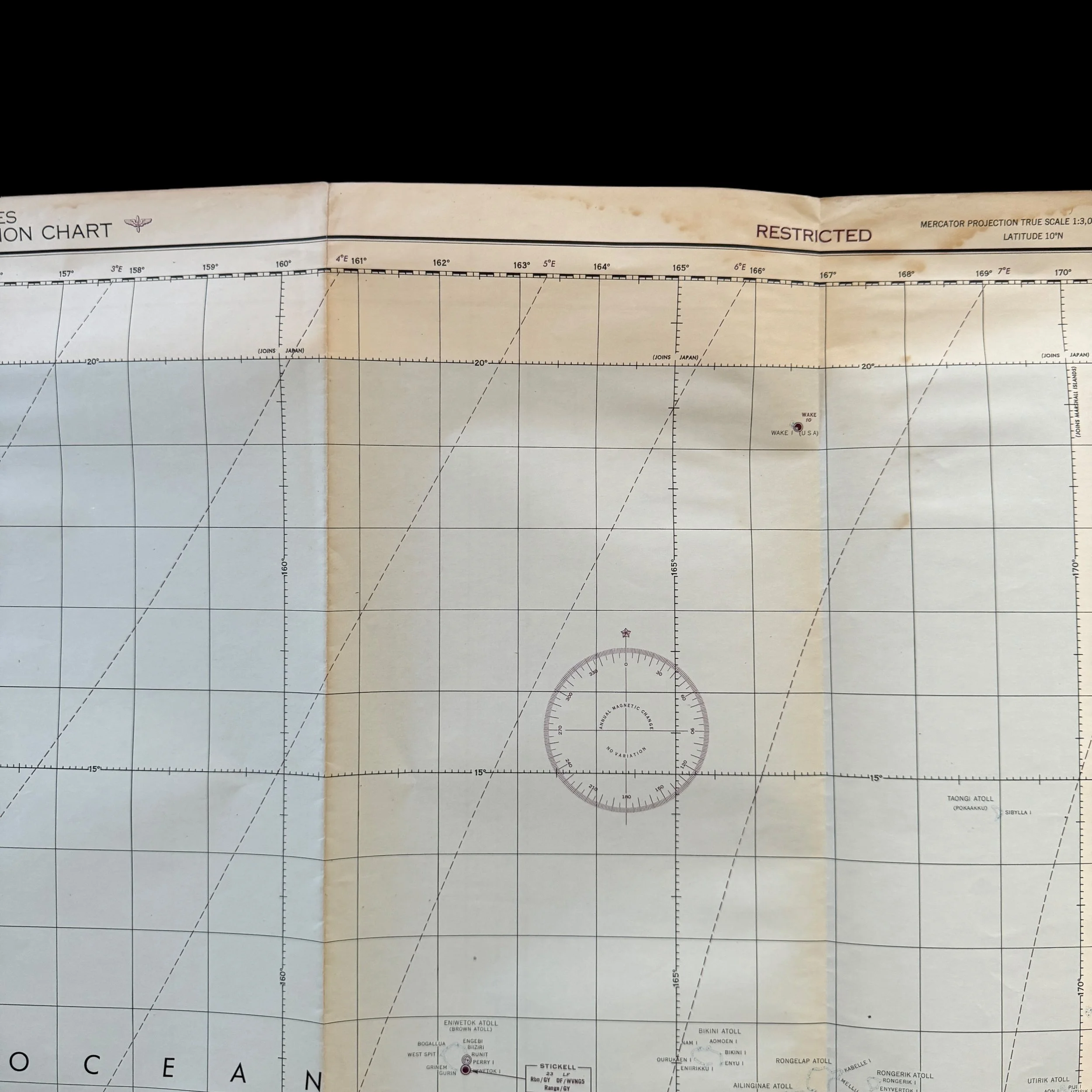
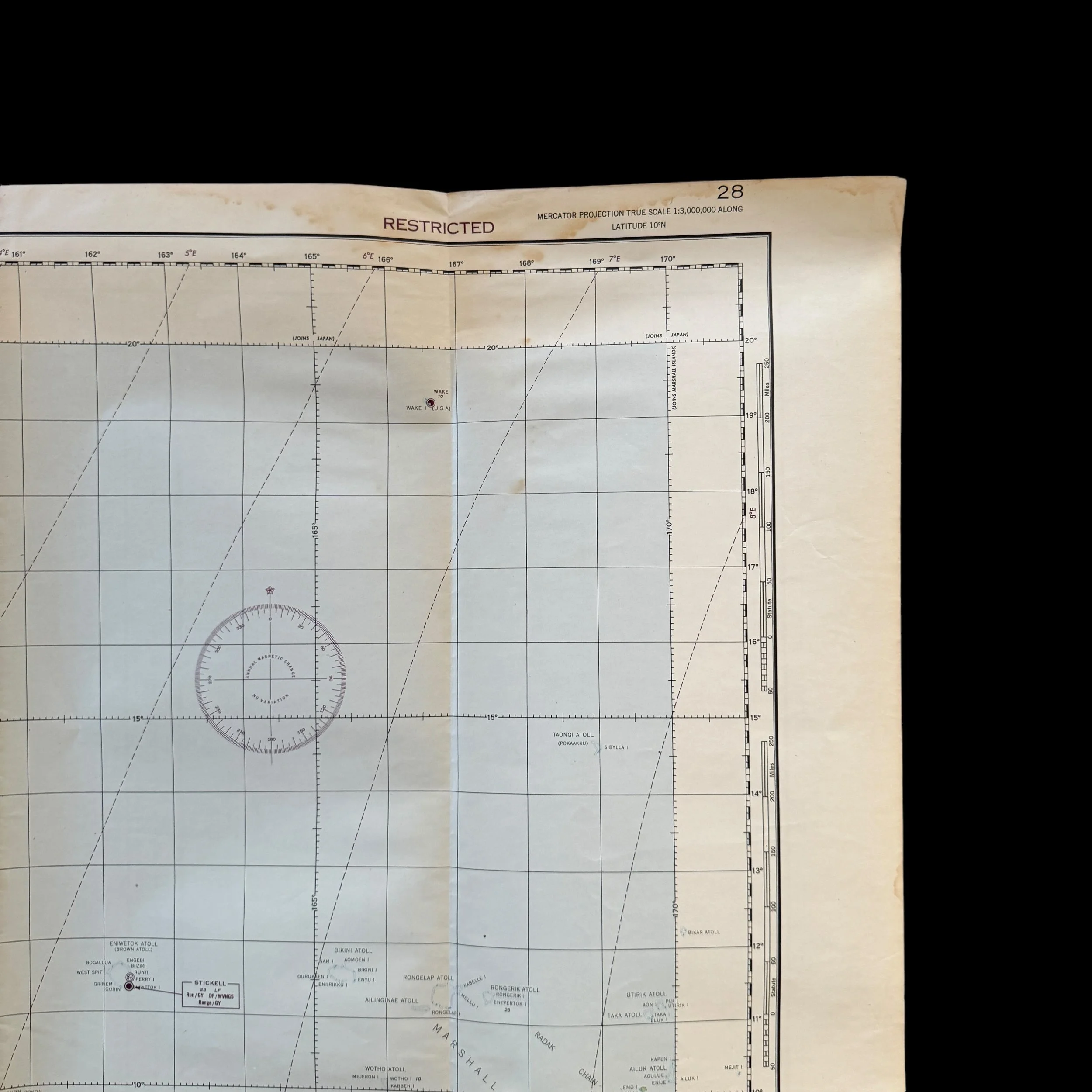
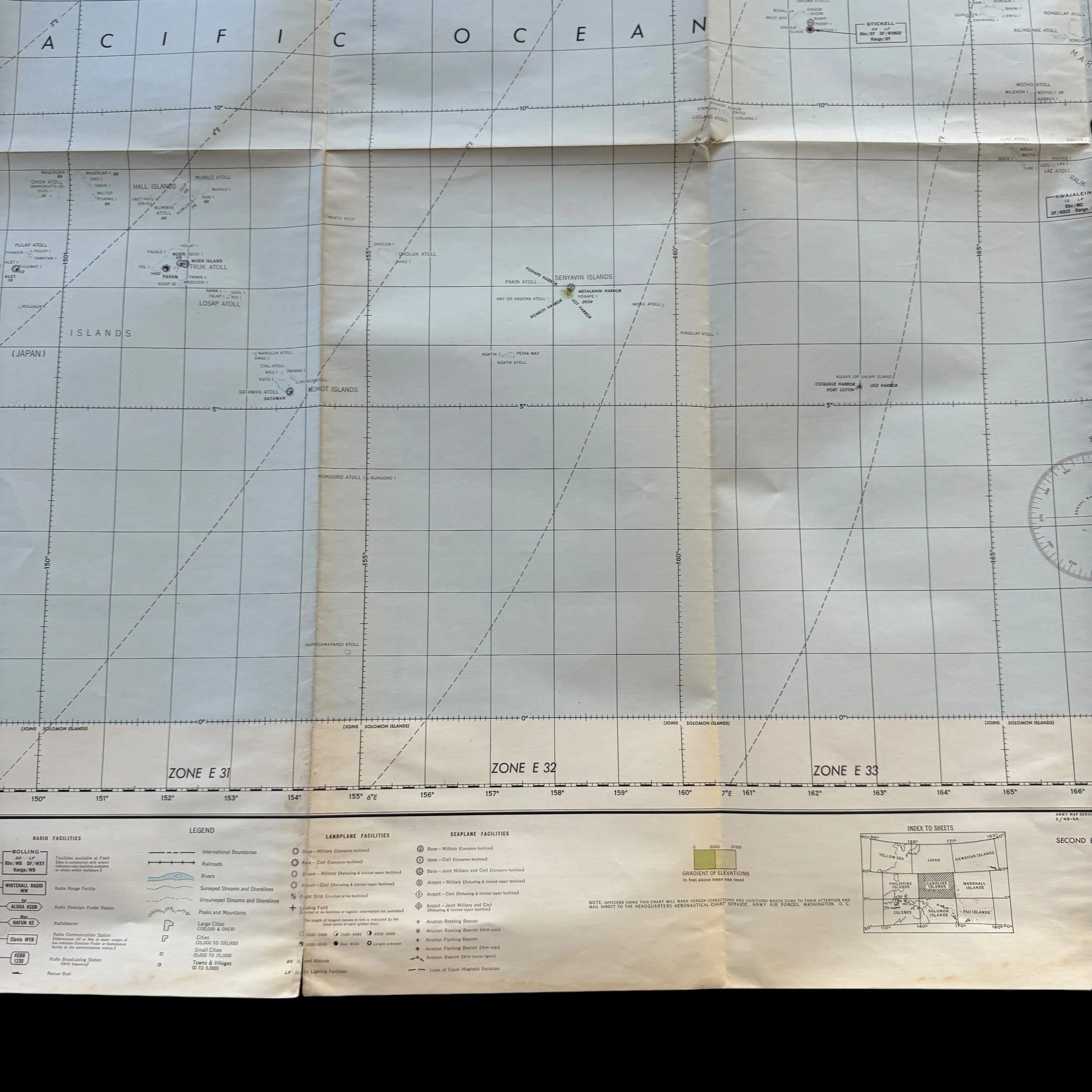
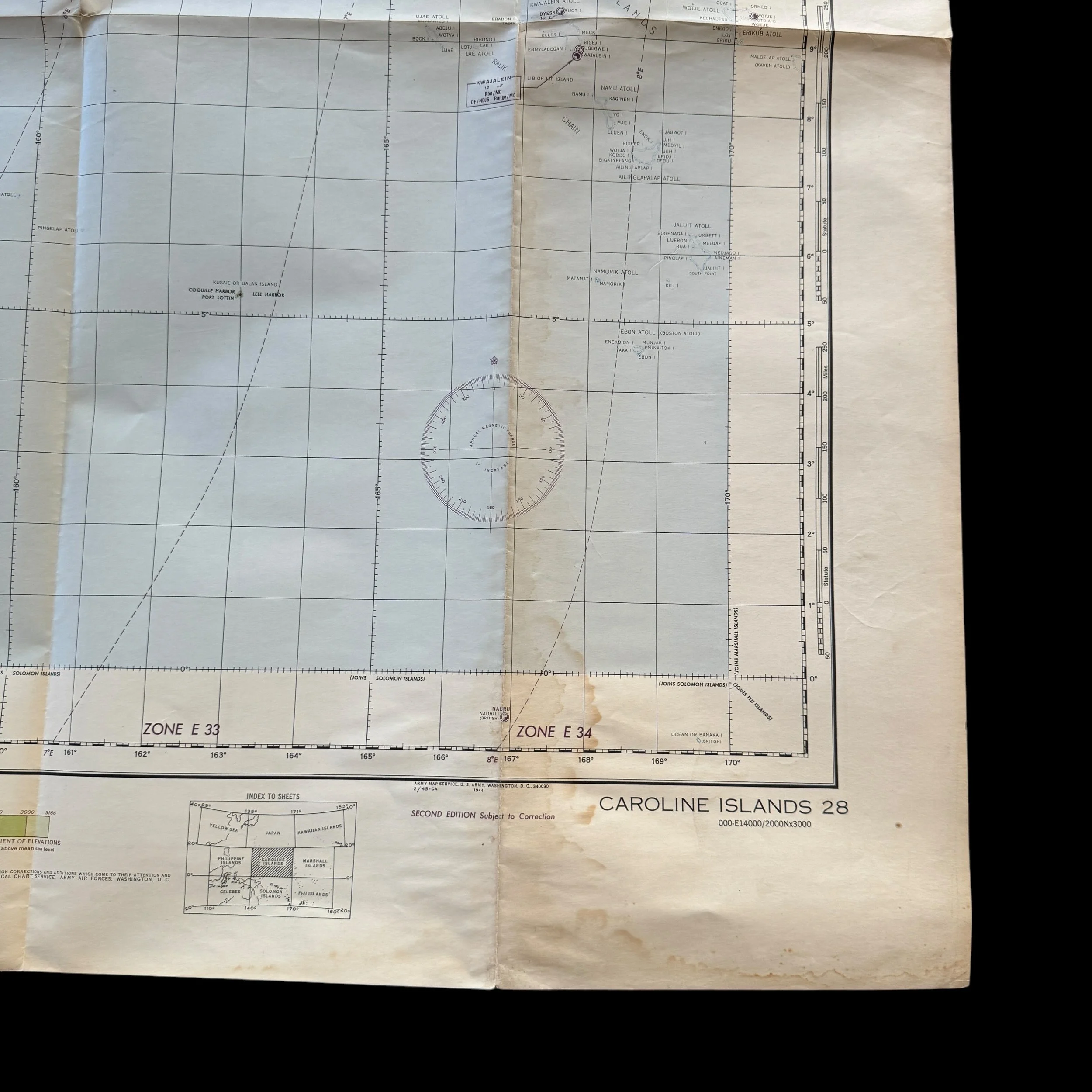
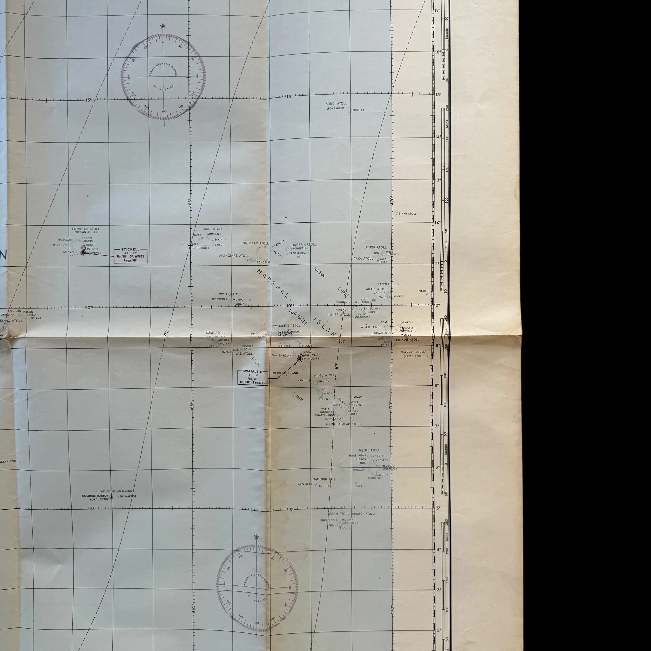
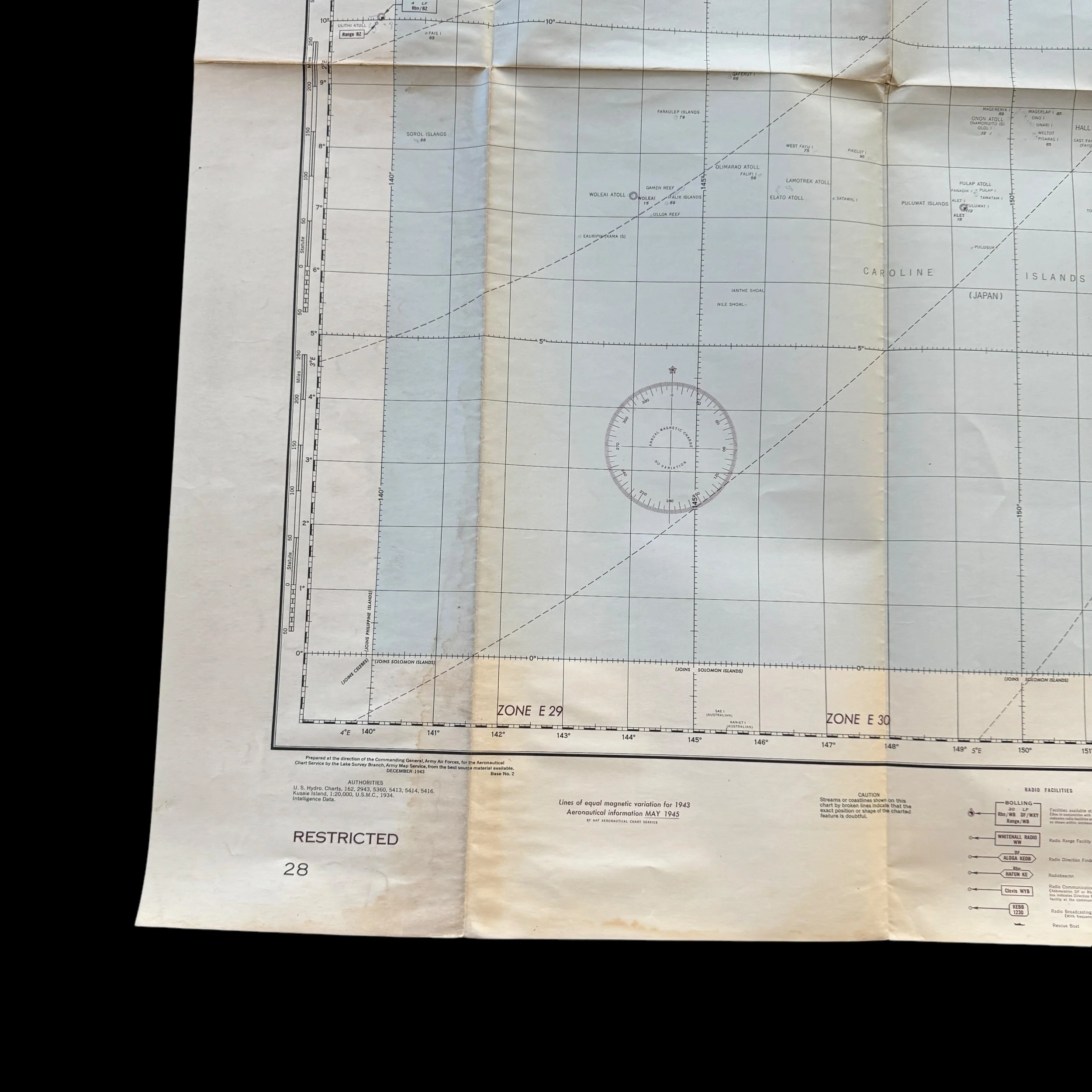
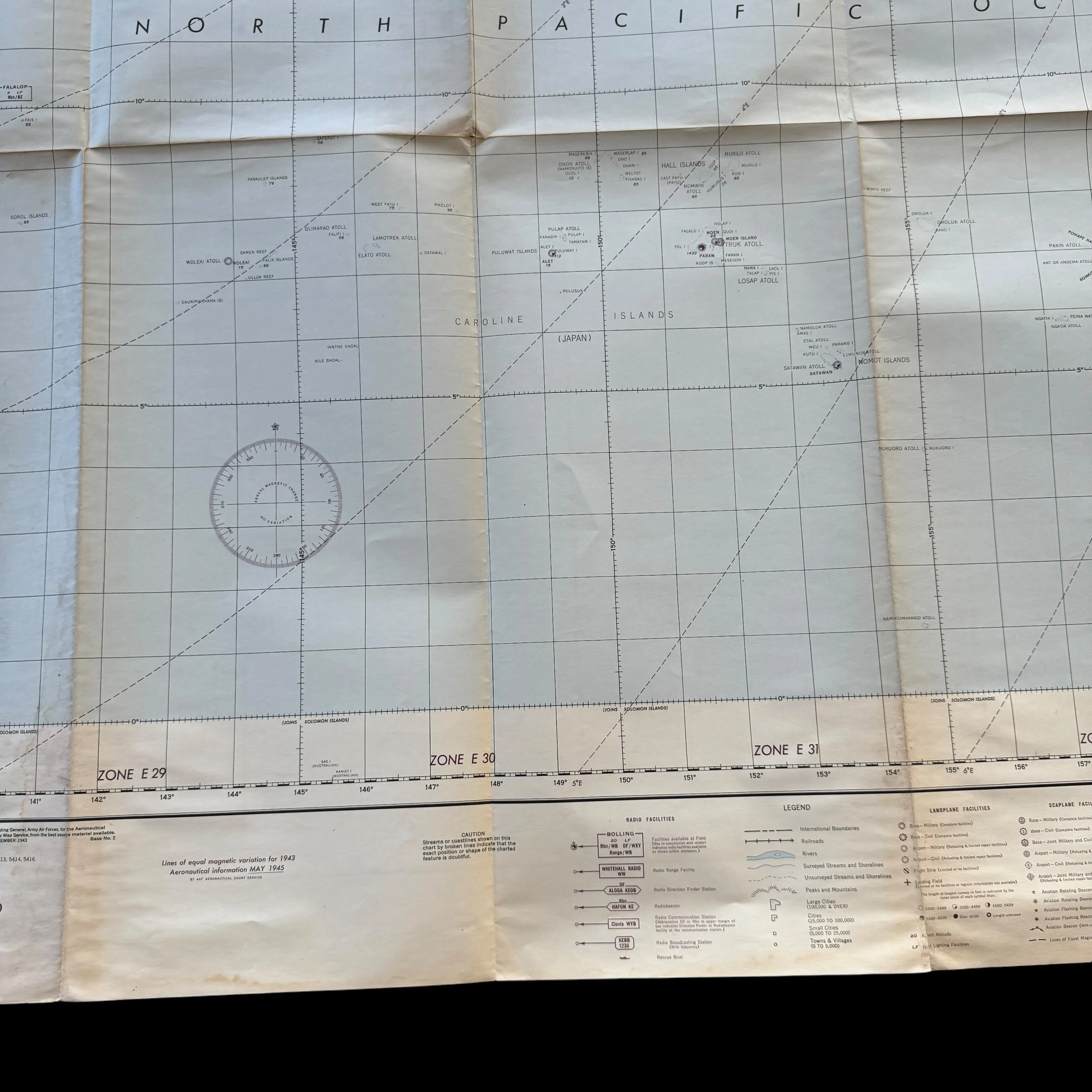
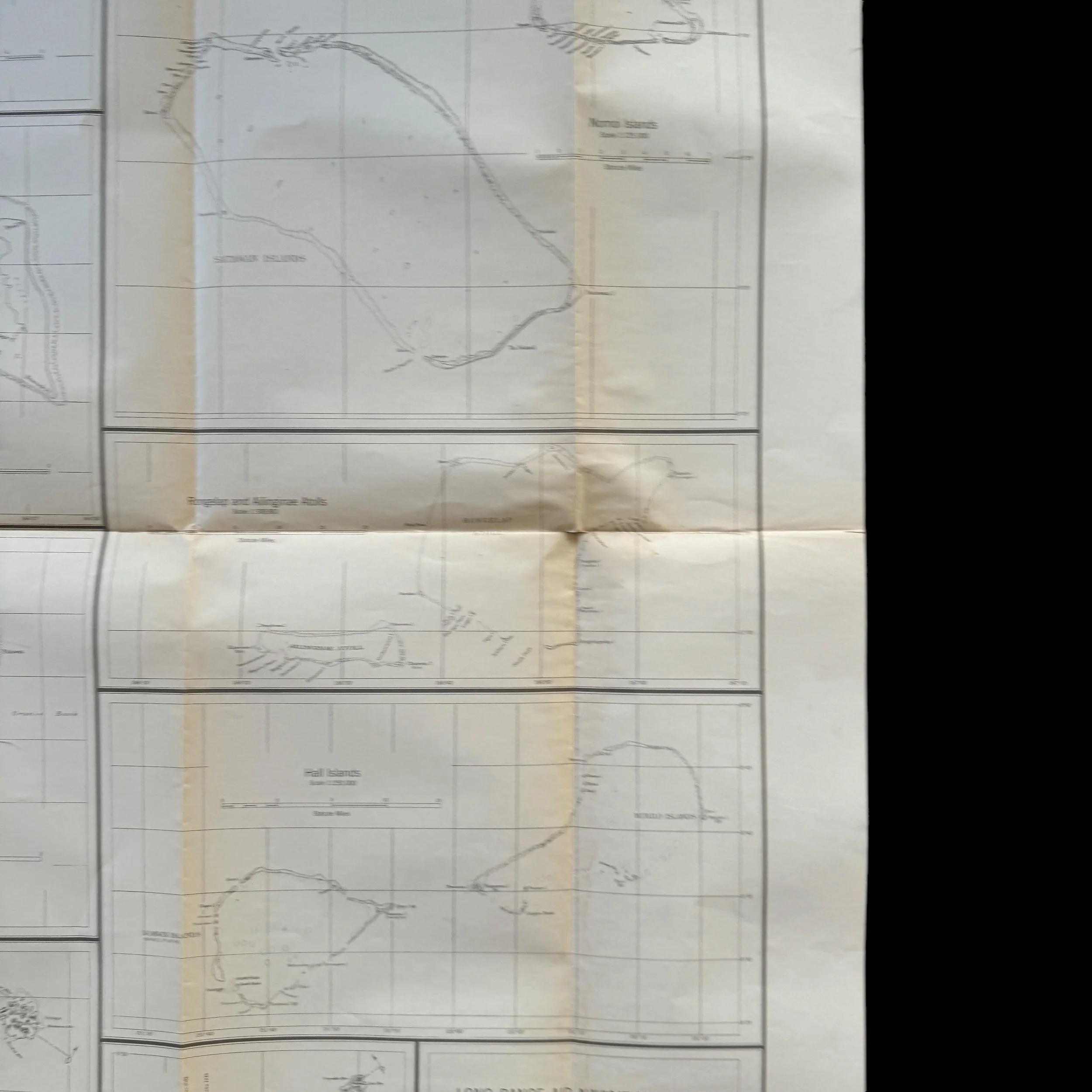
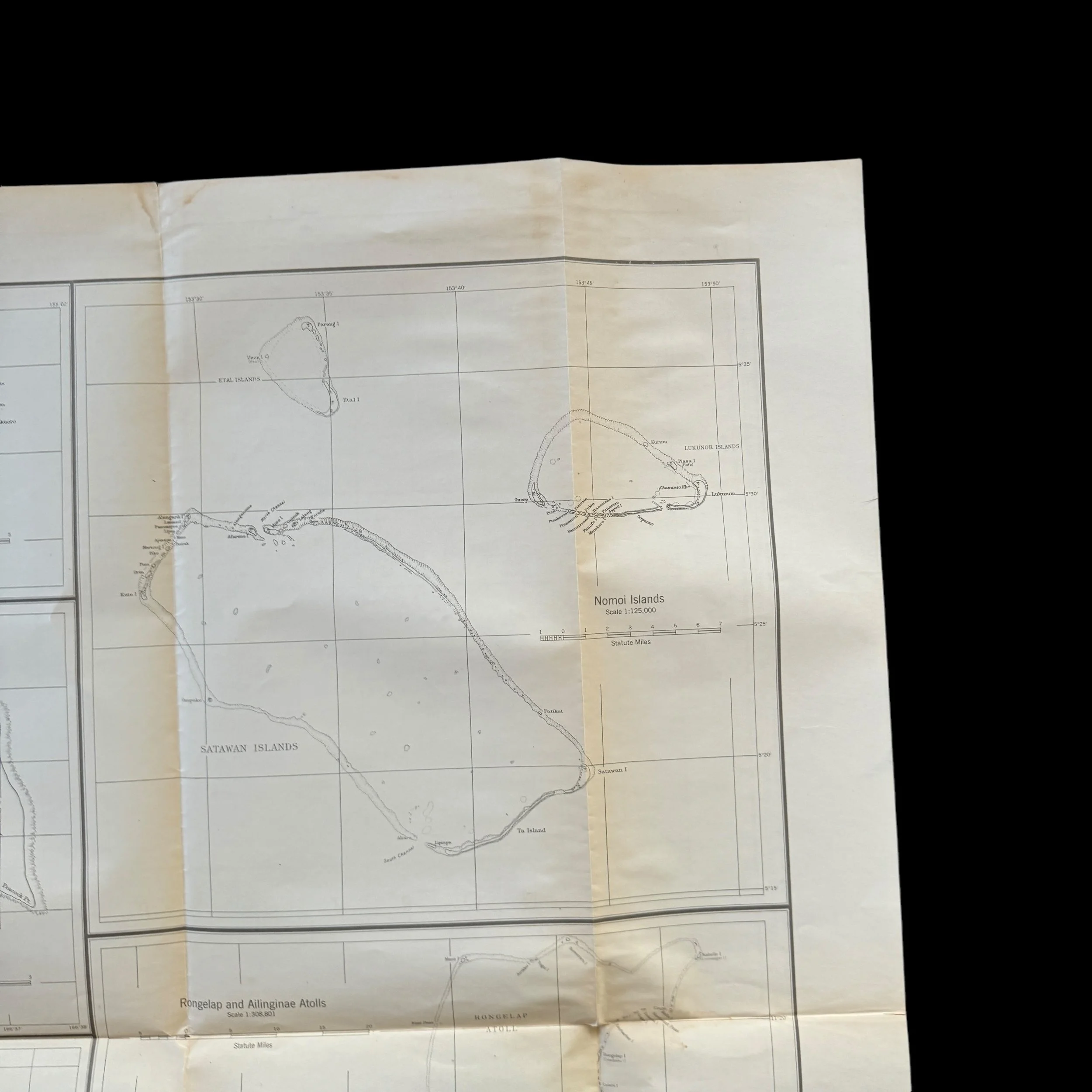
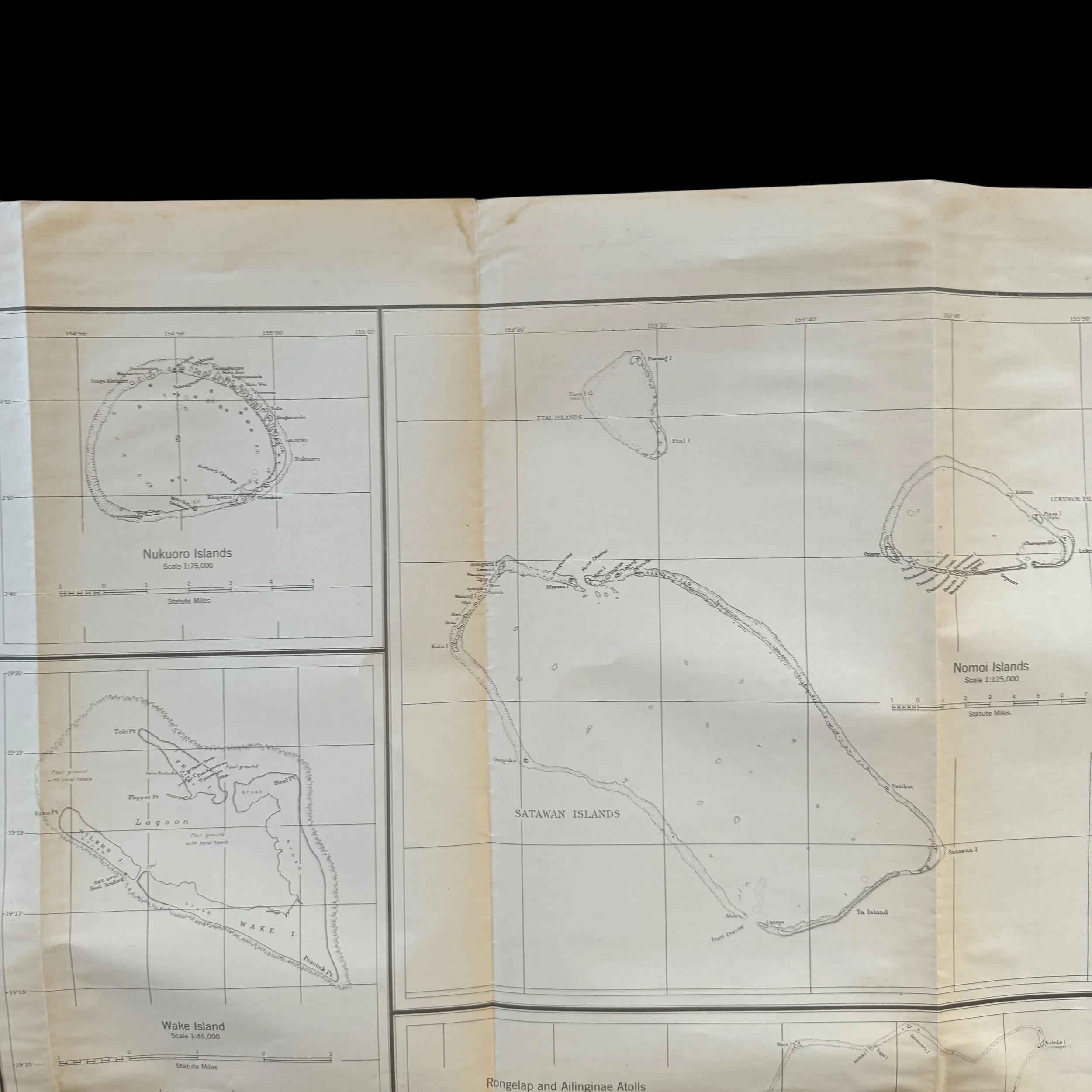
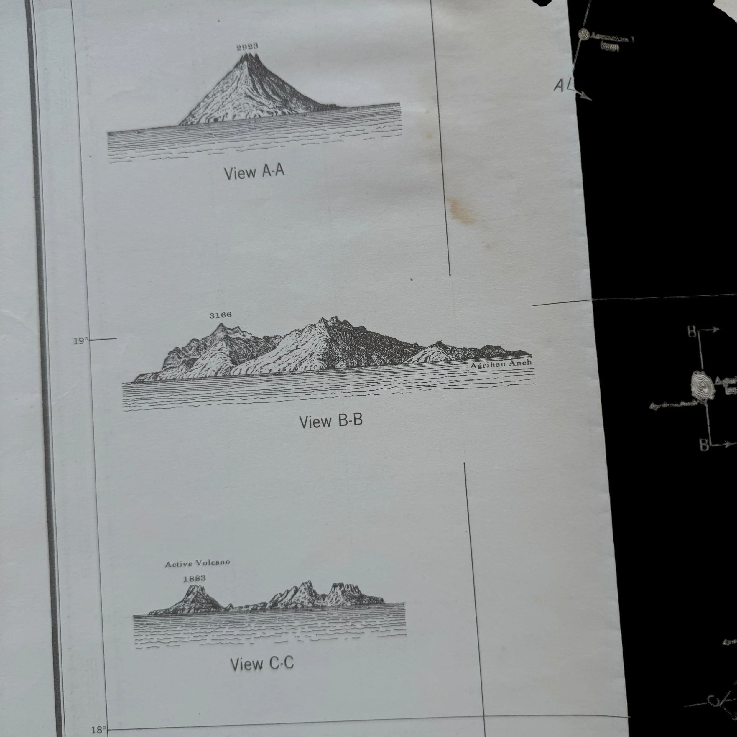
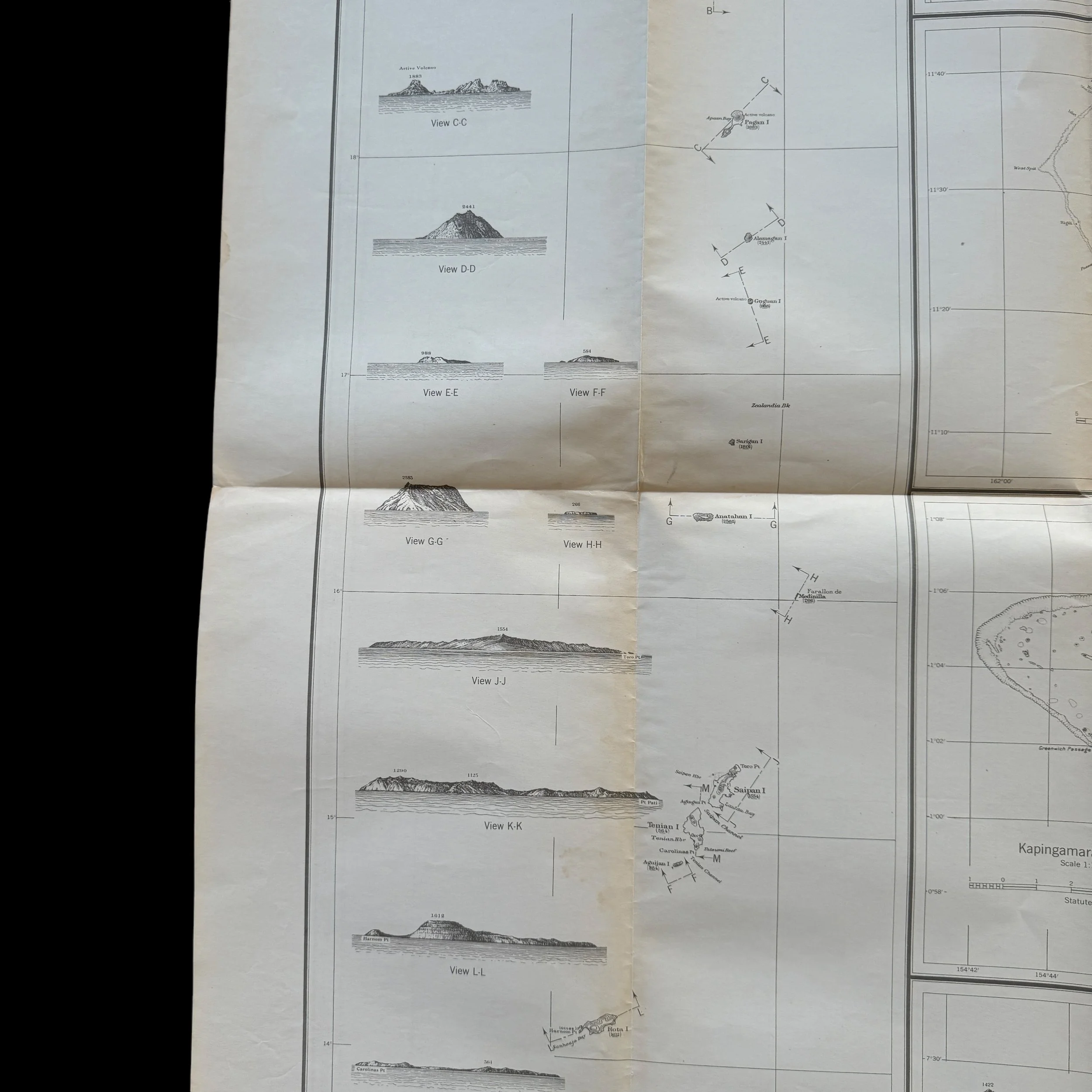
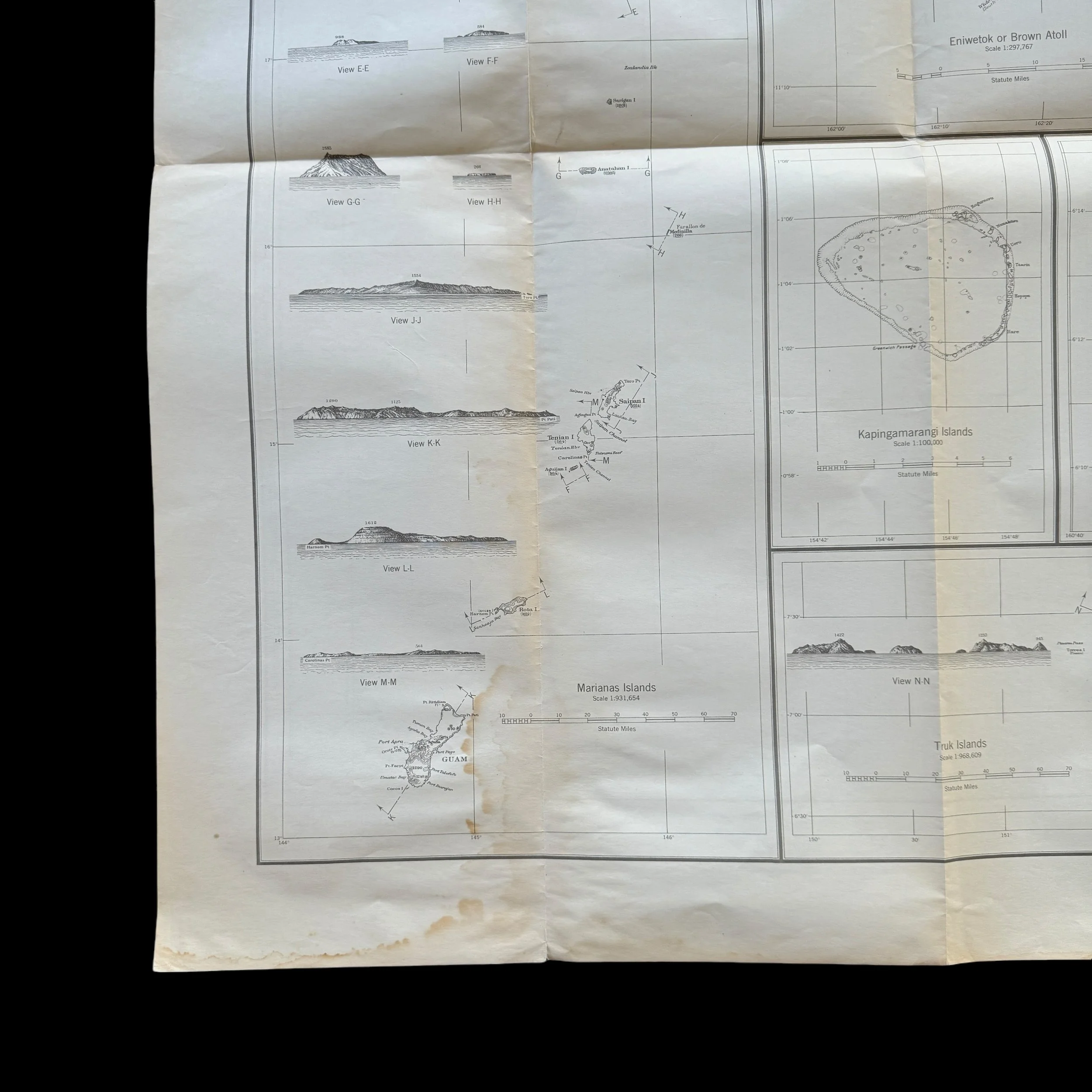
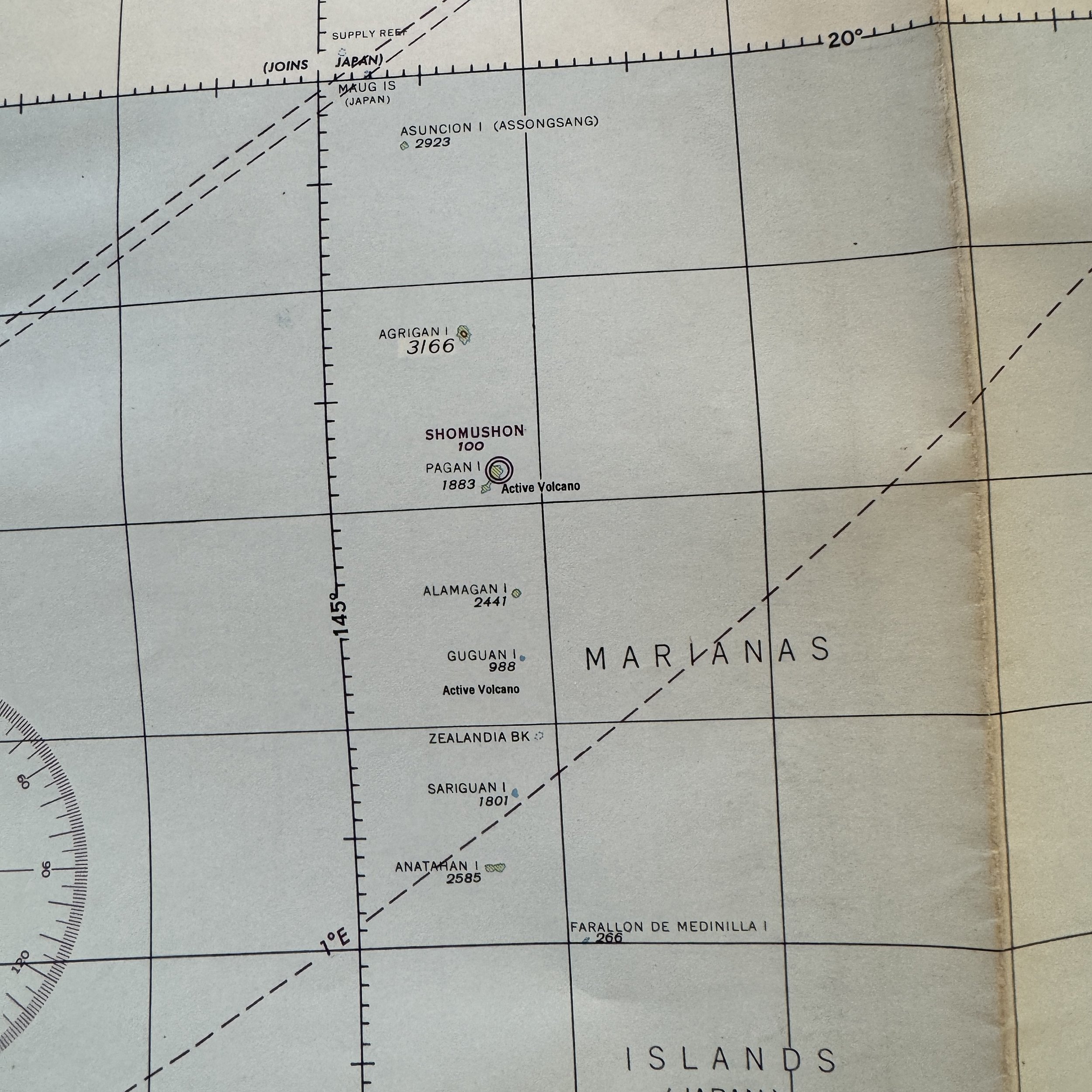
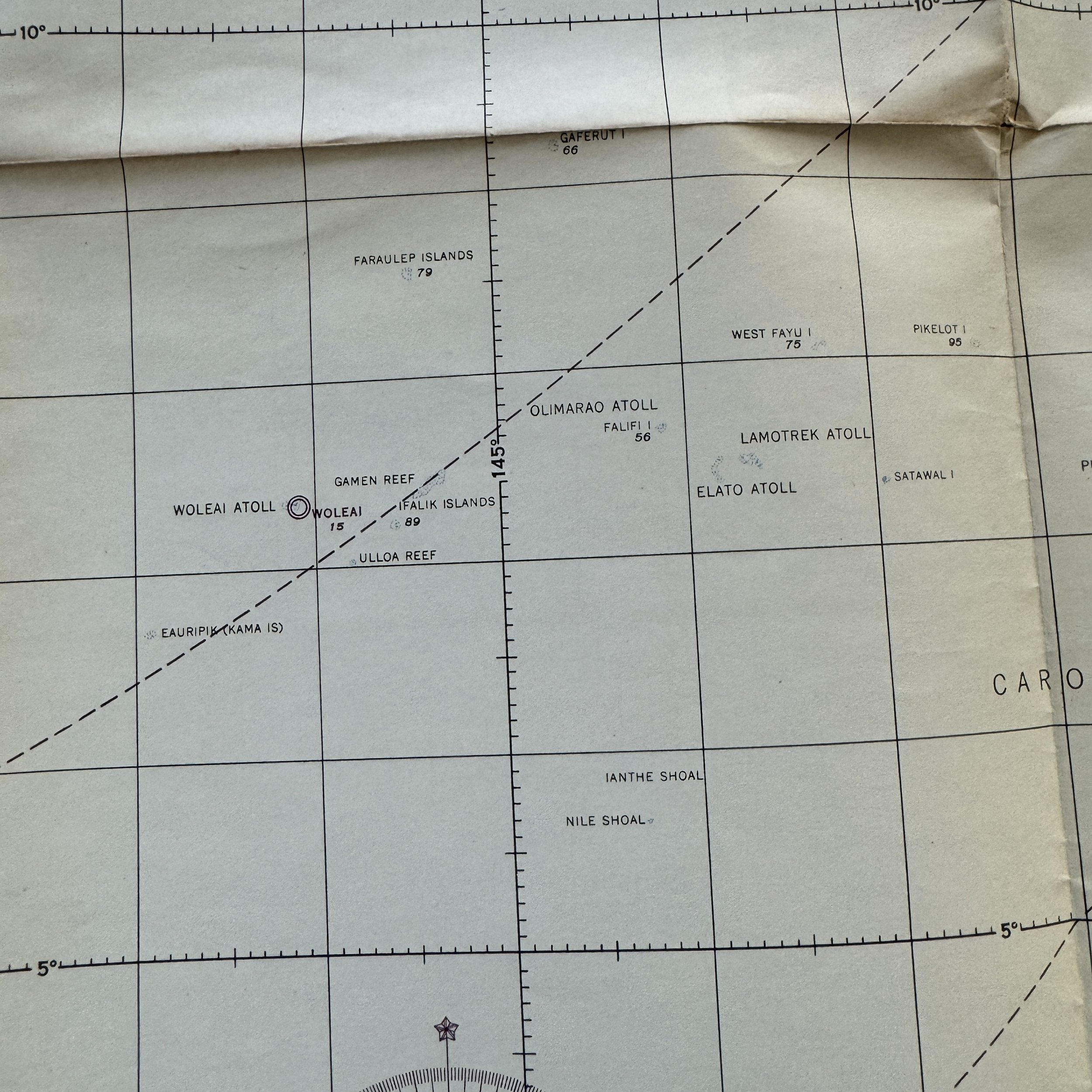
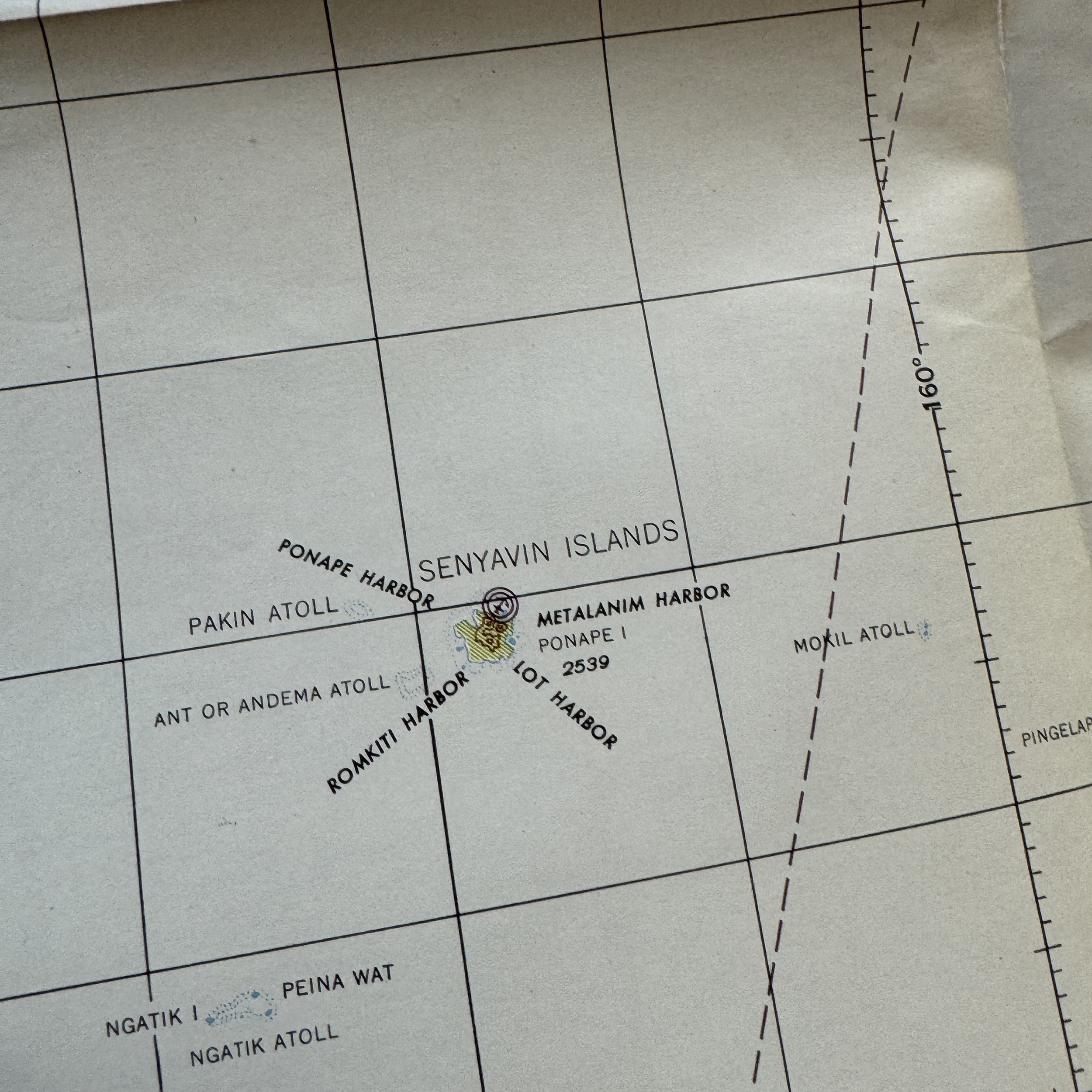
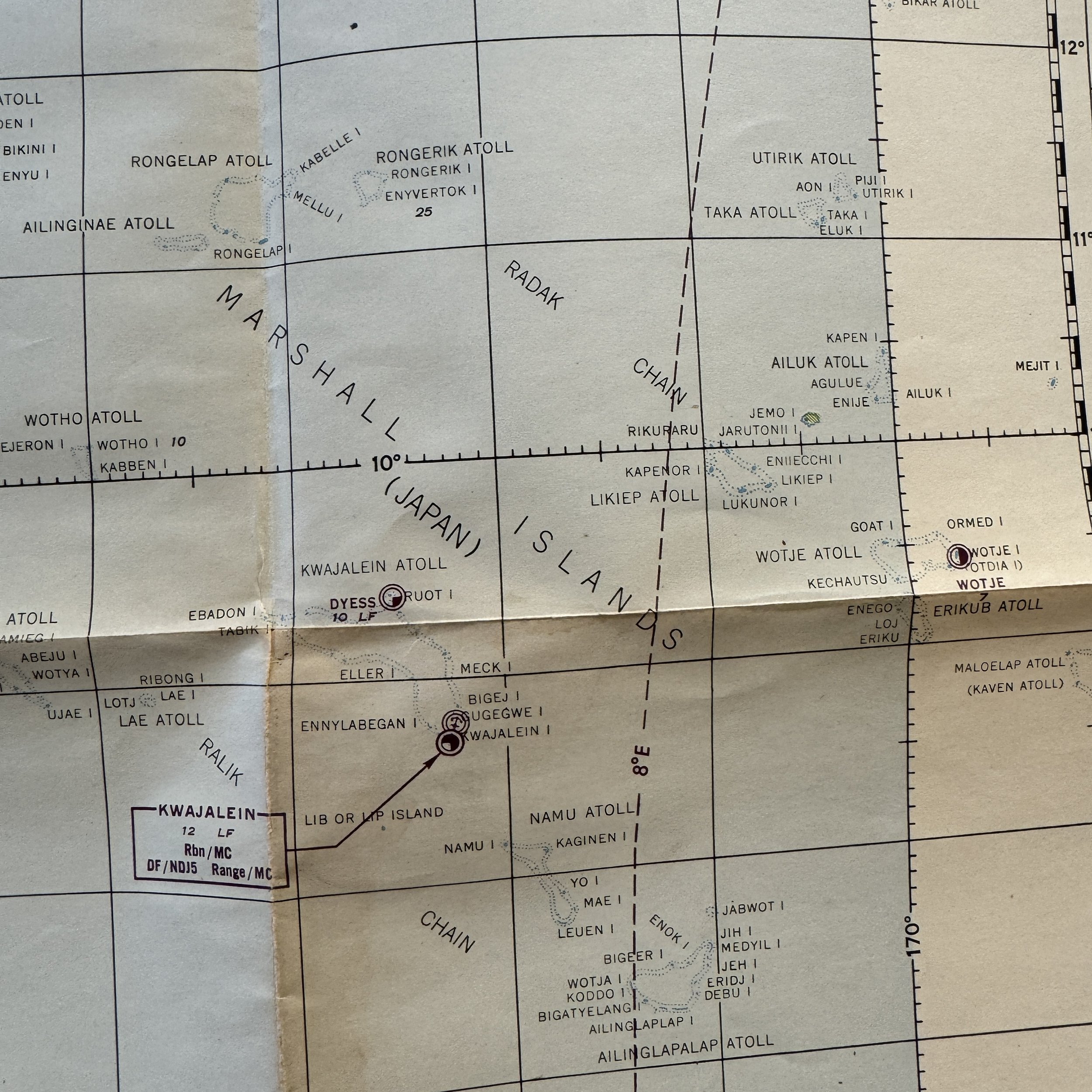
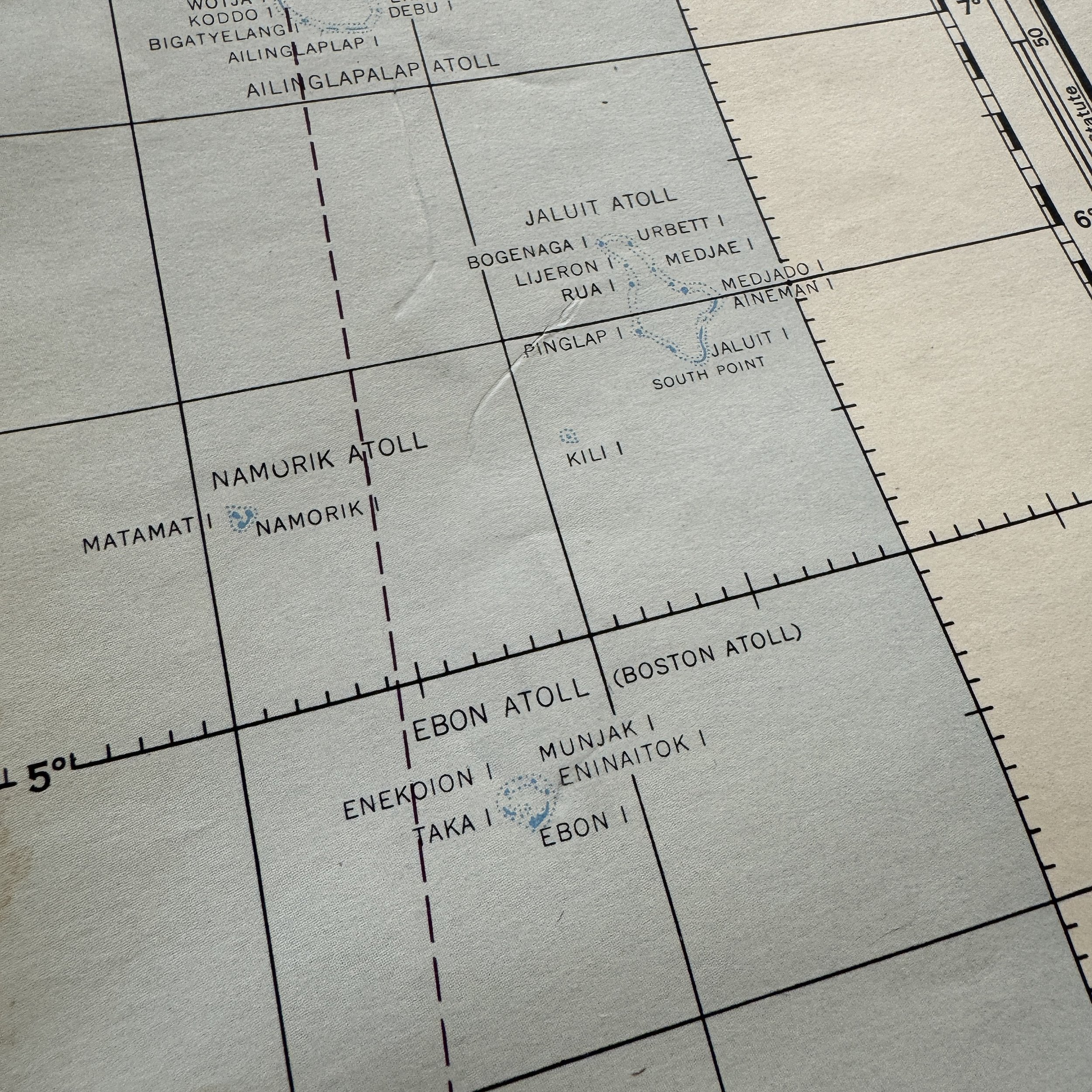
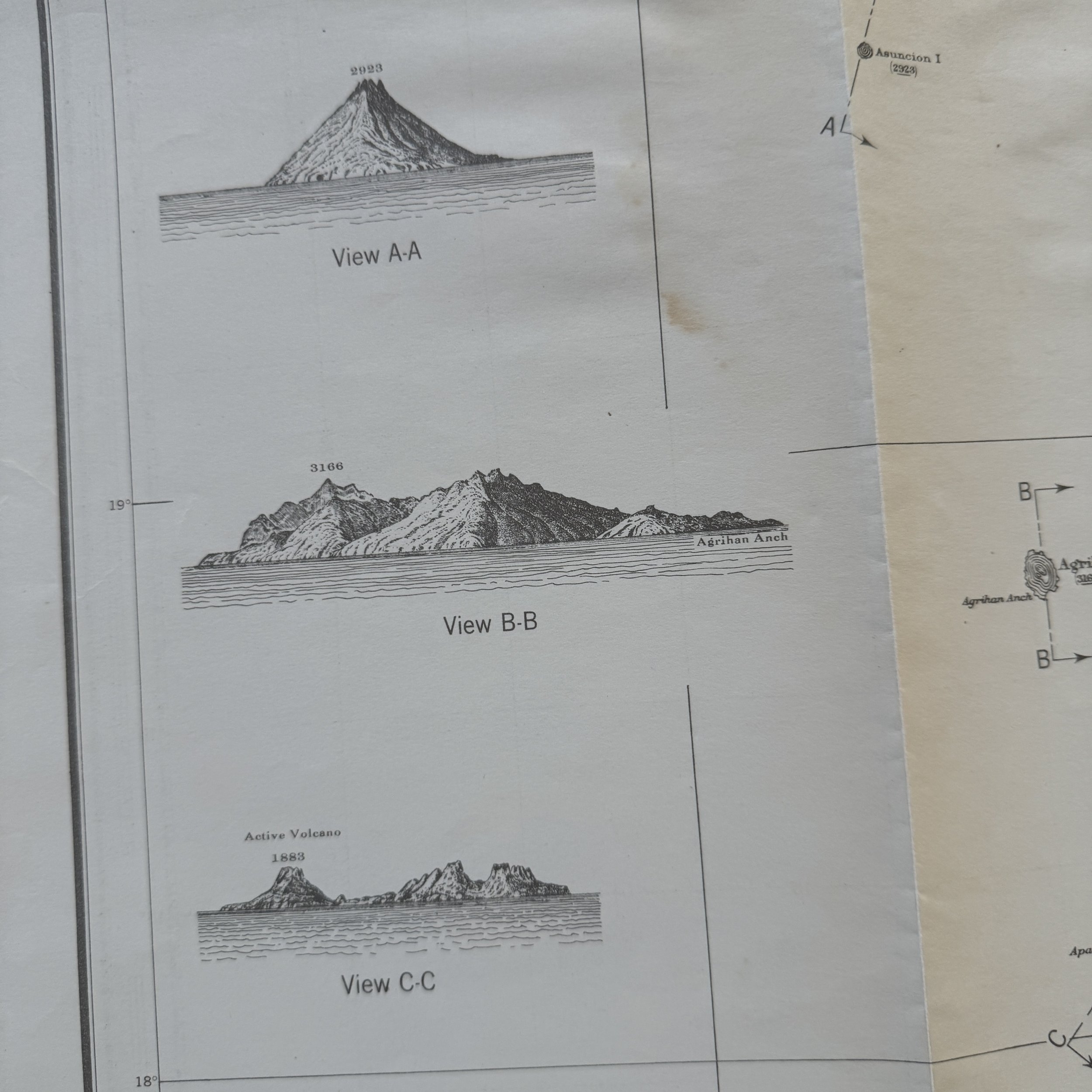
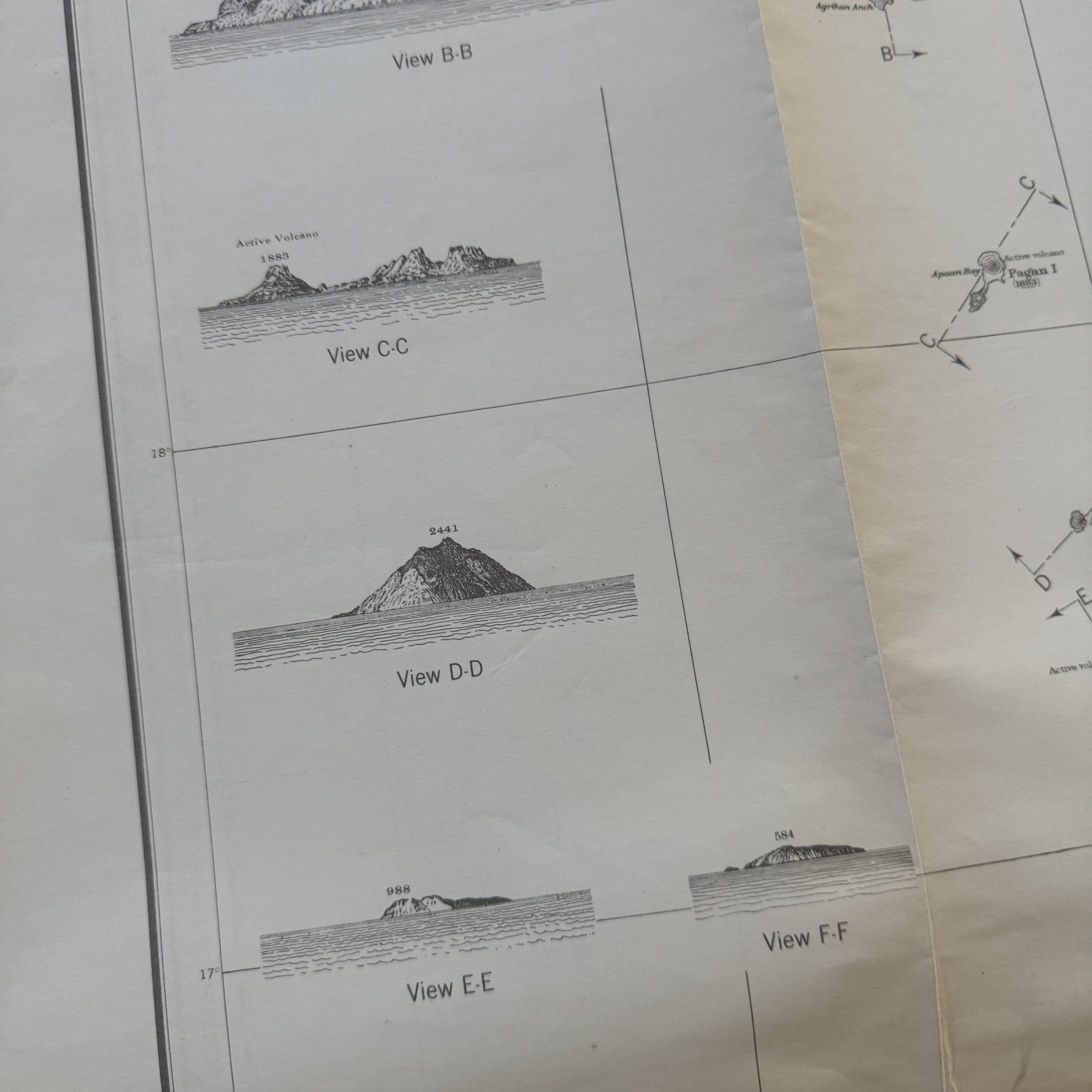
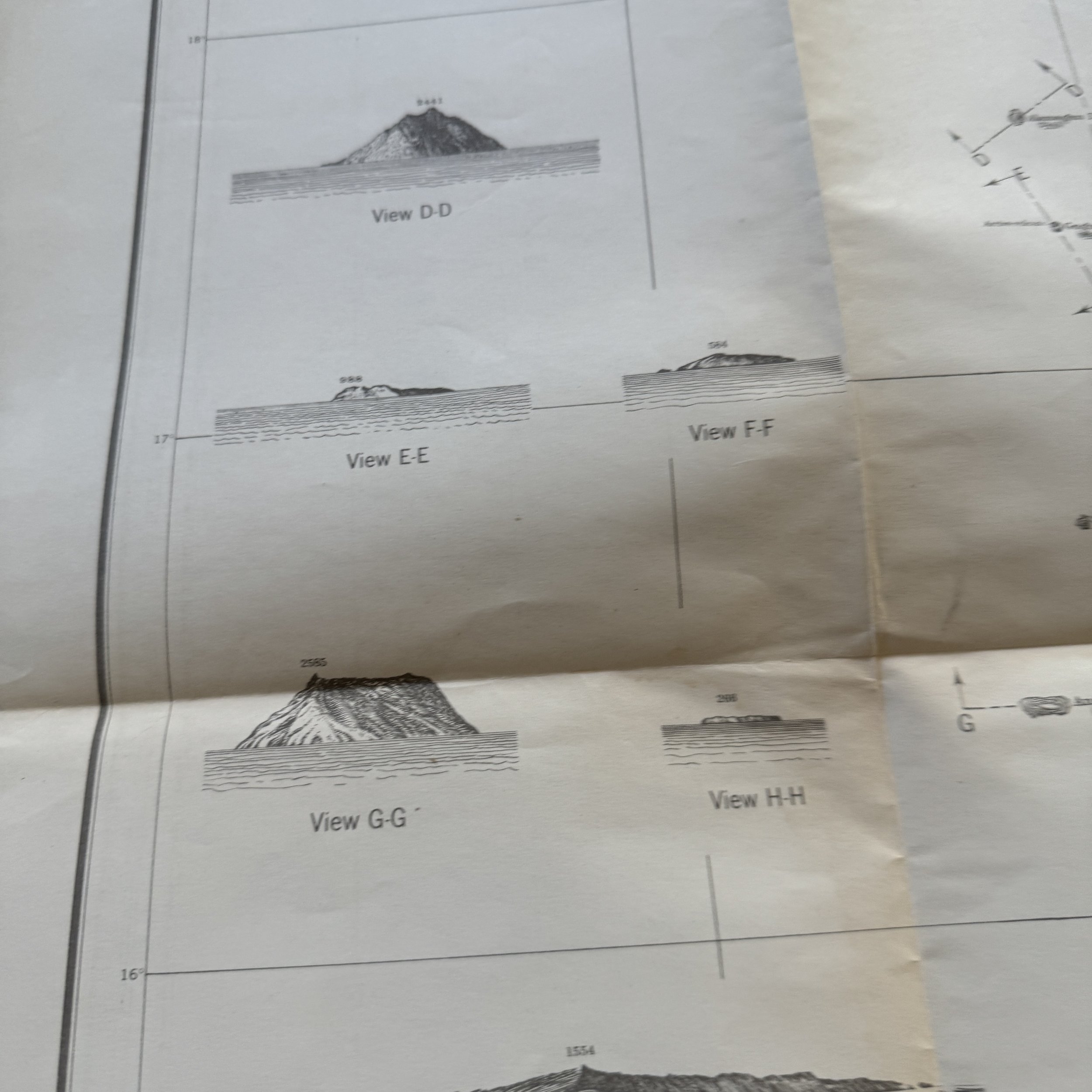
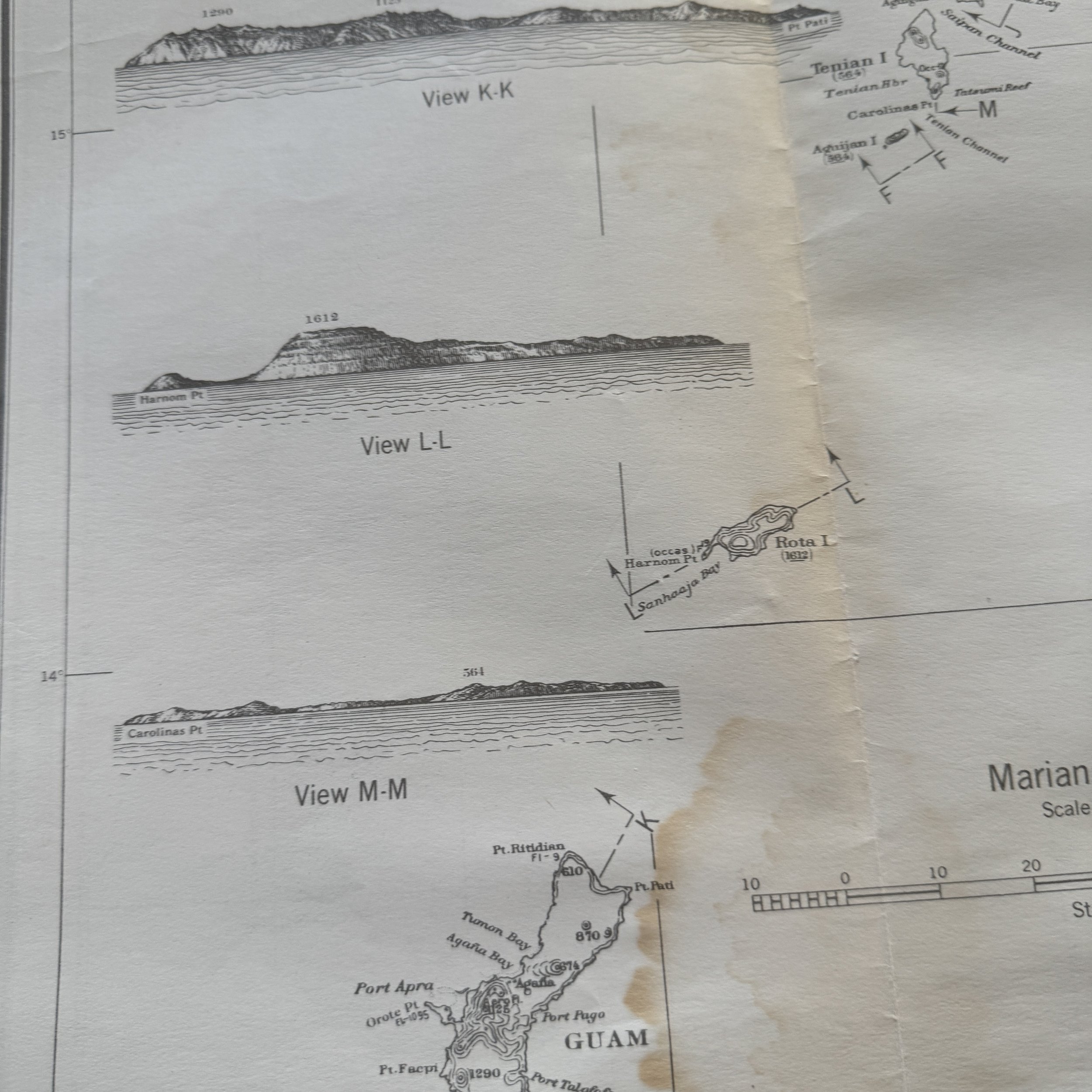
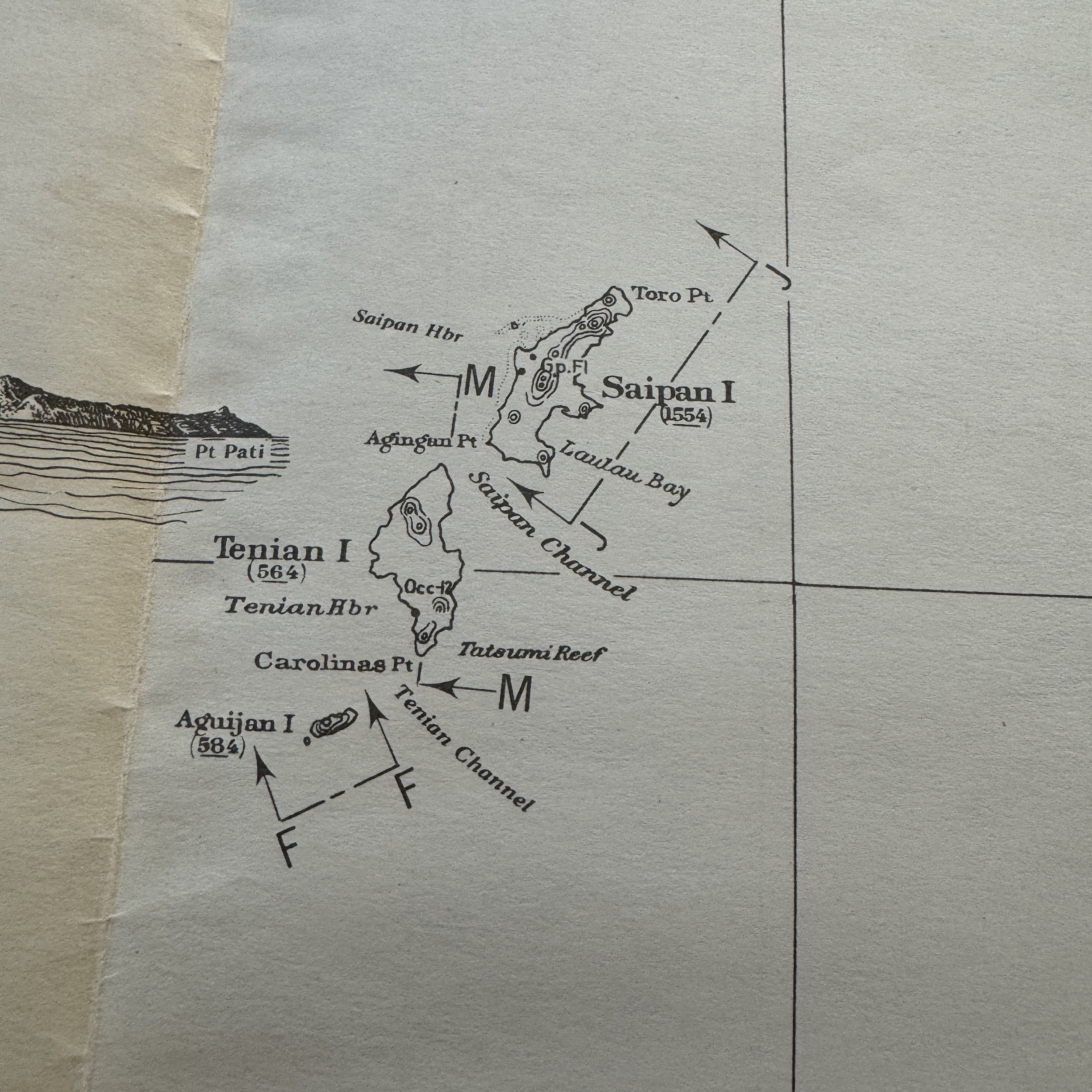
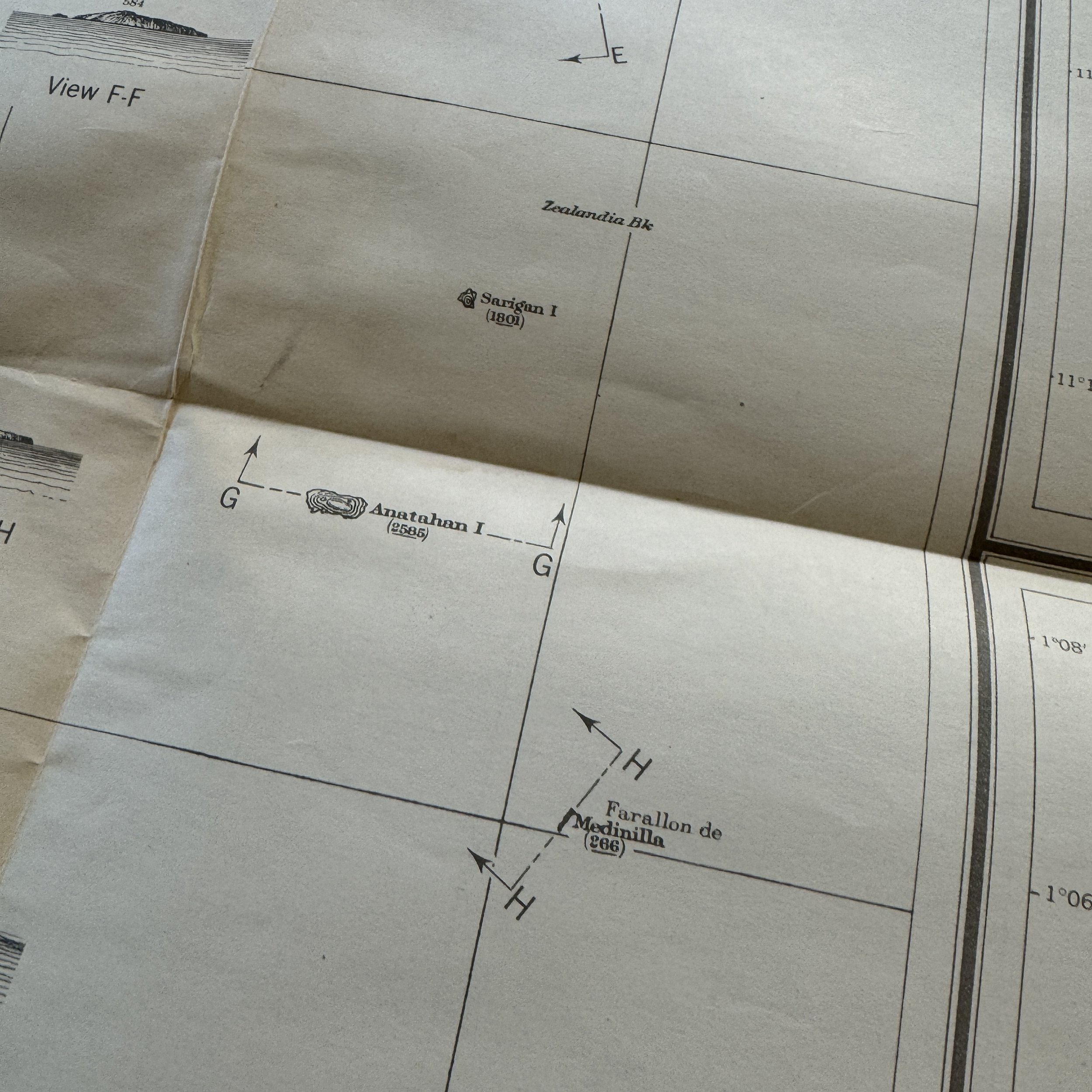
This exceptionally rare, museum-grade WWII artifact is an original Restricted U.S. Army Air Force Long-Range Navigation Chart of the Caroline Islands, dated December 1943. This navigation chart, created at the height of the Pacific Theater, provides invaluable insights into the strategic air operations conducted by the U.S. Army Air Force (USAAF) as they worked to secure and maintain control over the vast expanse of the Pacific Ocean during World War II. Meticulously detailed, the chart showcases significant islands, including Tinian, Guam, the Marianas, and the Marshall Islands—key locations that served as critical hubs for both offensive operations and logistical support between 1943 and 1945.
Historical Significance and Strategic Importance
The Caroline Islands, located in the central Pacific, were of immense strategic importance during the war due to their positioning relative to Japan and key U.S. bases. In the early stages of the Pacific campaign, these islands were occupied by the Japanese, and their network of airstrips, fortifications, and supply routes posed a formidable challenge to the U.S. forces advancing westward. The Restricted U.S. Army Air Force Long-Range Navigation Chart was a crucial tool for pilots and navigators tasked with bombing raids, reconnaissance, and support missions over the islands and the surrounding ocean.
From 1943 onwards, U.S. military planners placed significant focus on securing airfields and supply routes in this region, a key part of the broader island-hopping campaign that aimed to gradually push Japanese forces back toward their homeland. Among the notable operations that took place in the vicinity of the Caroline Islands were the Gilbert and Marshall Islands Campaign and Operation Hailstone, an air assault on Truk Lagoon in February 1944, which crippled the Japanese fleet and neutralized one of Japan's most formidable strongholds in the Pacific.
Air Operations and Key Units
From 1943 to 1945, the U.S. Army Air Force stationed several squadrons in the Mariana and Marshall Islands, utilizing these locations as launch points for long-range bombing campaigns and support operations. One of the most significant developments in the region was the establishment of B-29 Superfortress bases on the islands of Tinian and Saipan, which were part of the Mariana Islands. Tinian, captured by U.S. forces in 1944, became one of the most important airfields of the war, serving as the launch site for the atomic bomb missions that would later bring the conflict to an end. From Tinian, the 20th Air Force's 509th Composite Group launched the Enola Gay, which carried the atomic bomb "Little Boy" to Hiroshima.
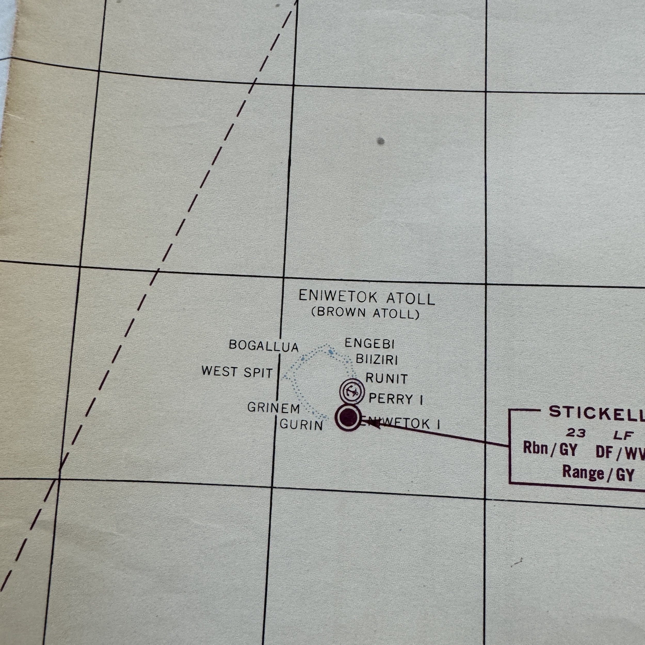
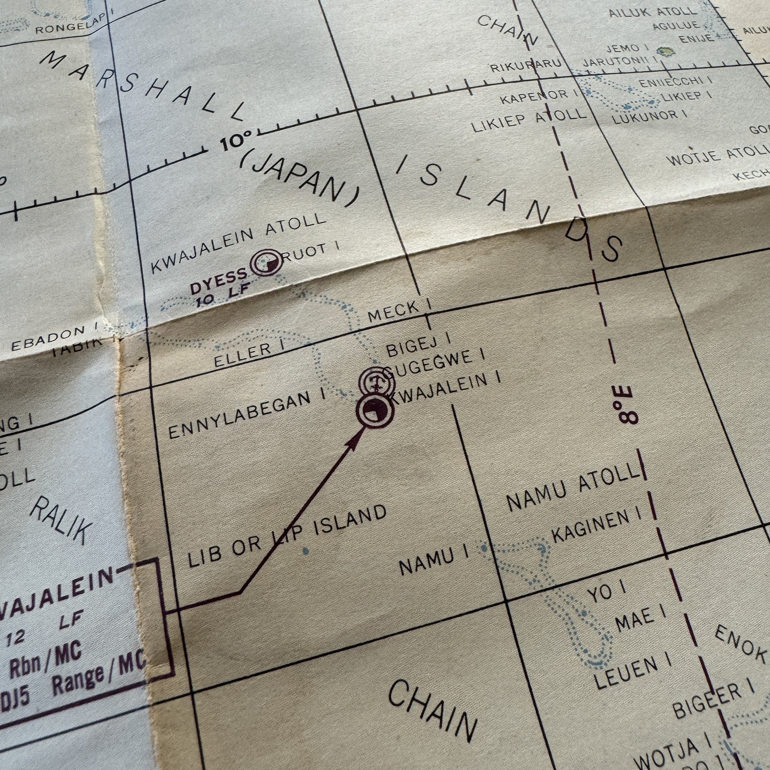
The Marshall Islands, including notable atolls such as Kwajalein and Eniwetok, were home to several airfields that supported U.S. naval and air operations. Throughout the latter half of the war, these islands served as forward operating bases for the USAAF, including squadrons of B-24 Liberators that carried out long-range bombing raids across the Pacific. The Marshall Islands' capture in early 1944 allowed the U.S. to project power further into Japanese-held territory, reducing Japanese defensive capabilities and opening the door to operations in the Marianas and the Philippines.
The Role of Long-Range Navigation Charts
The Restricted U.S. Army Air Force Long-Range Navigation Chart would have been indispensable for pilots flying these long-range missions. At a time when navigation technology was rudimentary by modern standards, pilots relied heavily on accurate charts, celestial navigation, and radio signals to guide them over the vast stretches of the Pacific Ocean. The chart's detailed depiction of islands, atolls, and key waypoints enabled U.S. aircrews to safely navigate hostile waters, plan bombing runs, and return to their bases after missions that often spanned thousands of miles.
Featured Islands: Key Locations in the Pacific Campaign
Tinian: Located in the Marianas, Tinian was captured in July 1944 and became one of the most strategically important airfields in the Pacific. The island’s flat terrain made it an ideal location for constructing massive airbases capable of housing the B-29 Superfortress bombers. Tinian's role in the war reached its zenith when it served as the launching point for the atomic bombs dropped on Hiroshima and Nagasaki.
Guam: Reclaimed from Japanese control in 1944, Guam became another critical U.S. base, hosting airfields, naval facilities, and supply depots that supported the island-hopping campaign. The island also served as a repair and rest station for air and naval units operating throughout the Pacific.
Marshall Islands: The Marshalls, particularly Kwajalein and Eniwetok, were captured during Operation Flintlock in early 1944. These islands were transformed into forward airfields and served as key logistical hubs for further advances into the Mariana Islands and the Philippines.
The Larger Picture: Pacific Air Campaigns 1943–1945
From late 1943 onward, the U.S. shifted to an offensive strategy in the Pacific, with air superiority being a critical component of the broader campaign. The goal was to disrupt Japanese supply lines, bomb military installations, and support amphibious invasions of strategically important islands. The capture of islands like Saipan and Tinian provided the U.S. with airfields that allowed their bombers to reach mainland Japan, leading to devastating bombing raids on Japanese cities in 1944 and 1945.
Air missions were dangerous and required precise navigation across an ocean dotted with small, isolated islands. Charts like this one allowed U.S. forces to plan and execute missions with greater accuracy and safety, ensuring that the Pacific Theater’s air campaign could be sustained.
A Testament to Military History
This original Restricted U.S. Army Air Force Long-Range Navigation Chart from December 1943 is a rare and tangible relic of one of the most pivotal moments in World War II history. It represents the ingenuity, bravery, and logistical prowess of the U.S. forces who waged war across the largest ocean on earth. The Caroline Islands chart, detailing some of the most heavily contested locations in the Pacific, would have been a vital asset for any aircrew navigating the dangerous and unforgiving waters of the Pacific. Accompanied by a hand-signed Certificate of Authenticity, this museum-grade artifact offers a unique glimpse into the operational challenges and triumphs of the U.S. Army Air Force during World War II.