1942 Dated WWII US Bombing Navigator "Frankfort" Germany Mission Map - Heavily Mission Marked
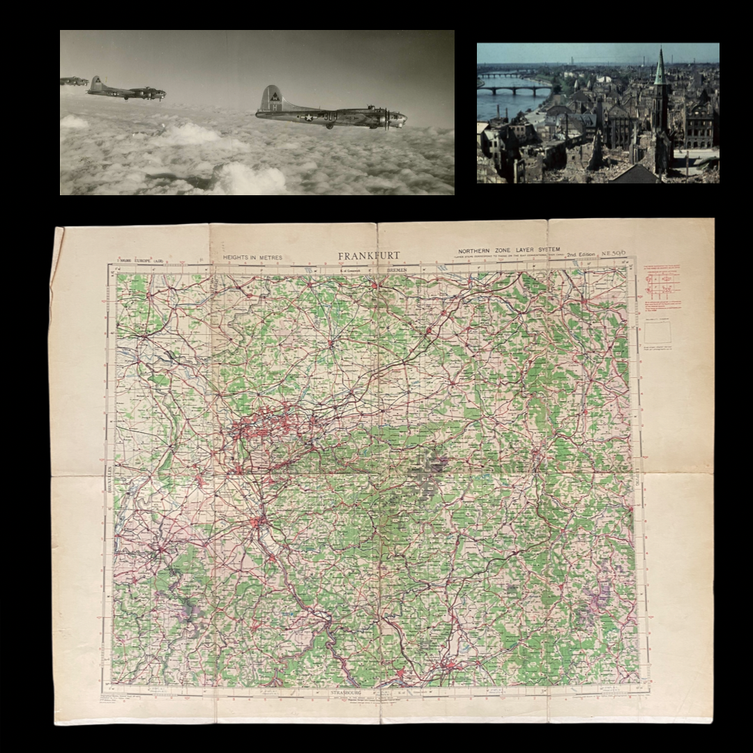







1942 Dated WWII US Bombing Navigator "Frankfort" Germany Mission Map - Heavily Mission Marked
Comes with C.O.A.
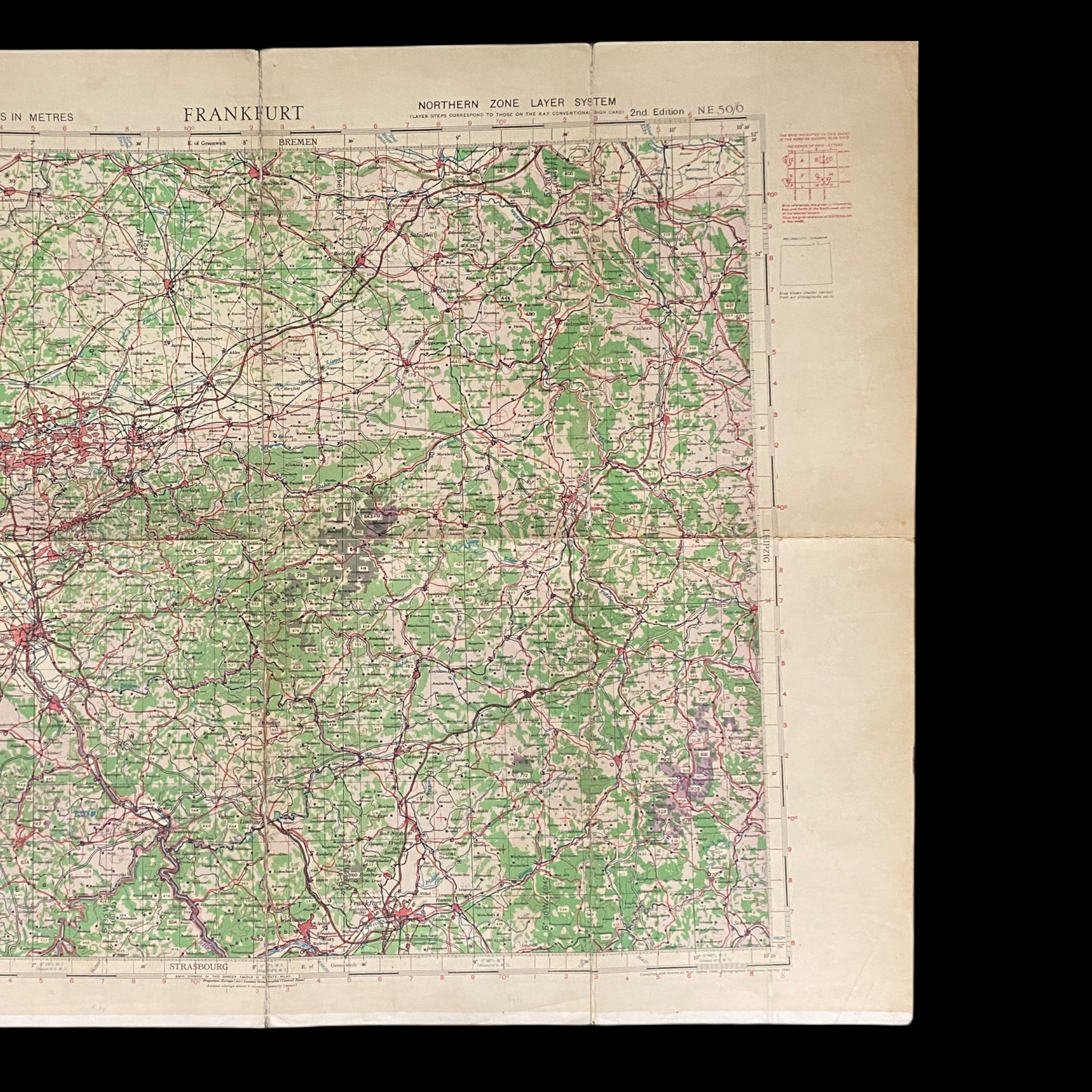
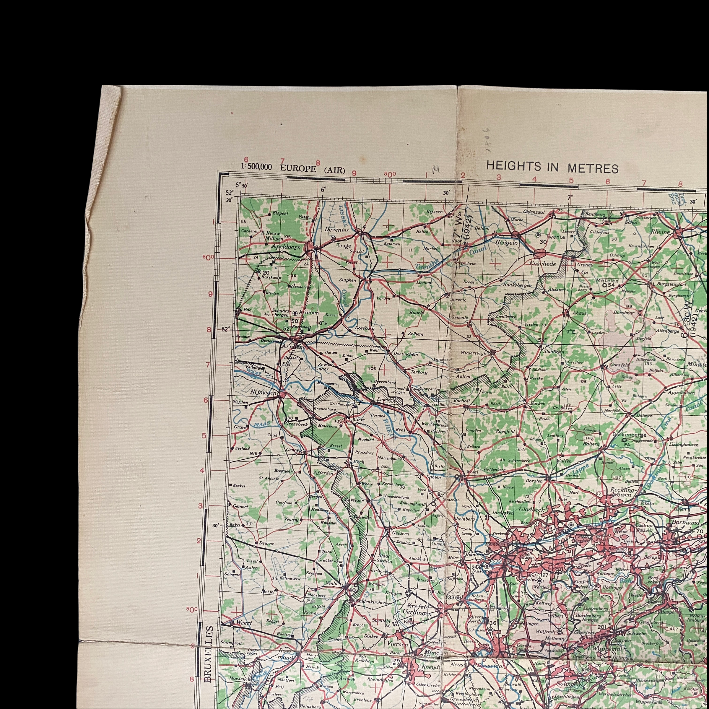
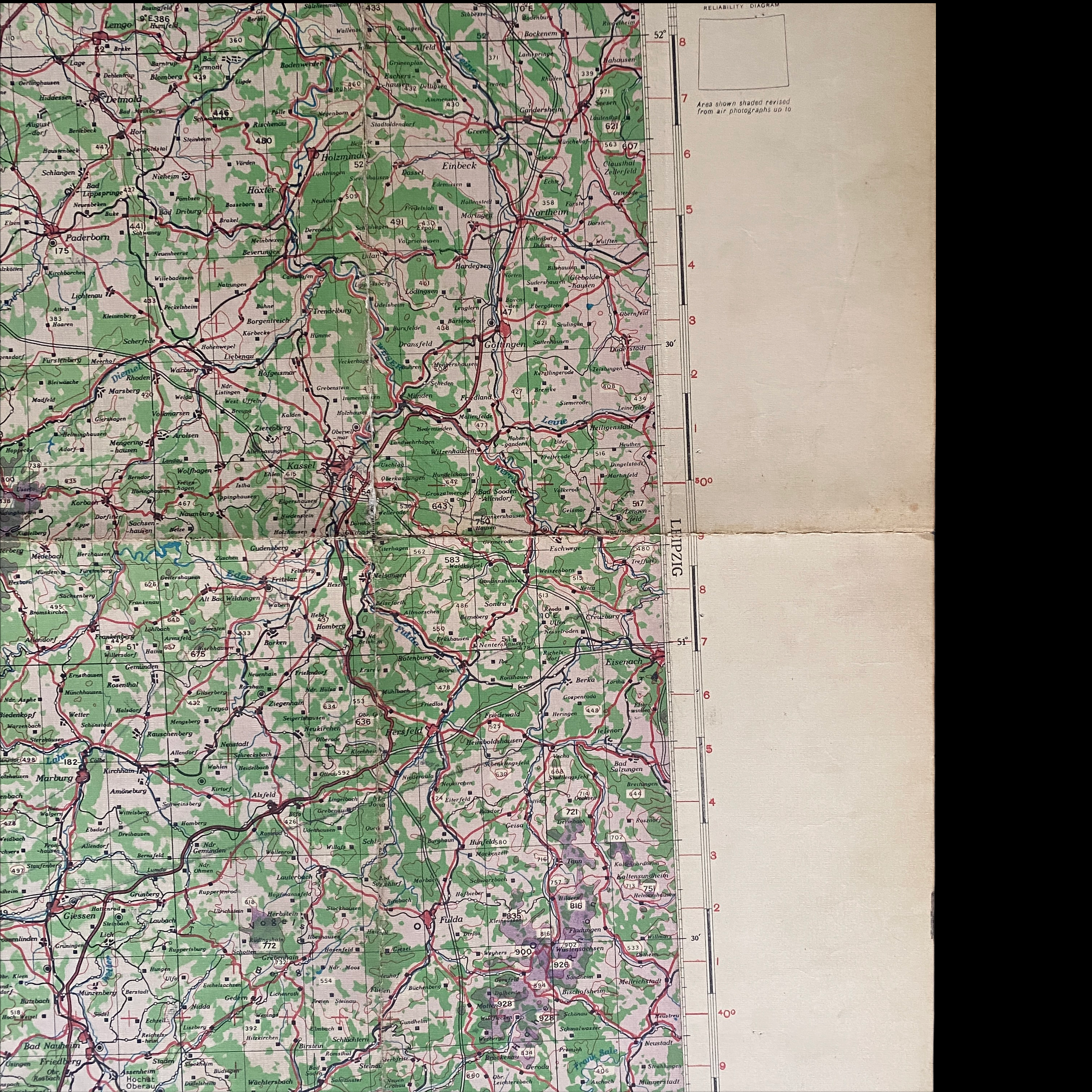
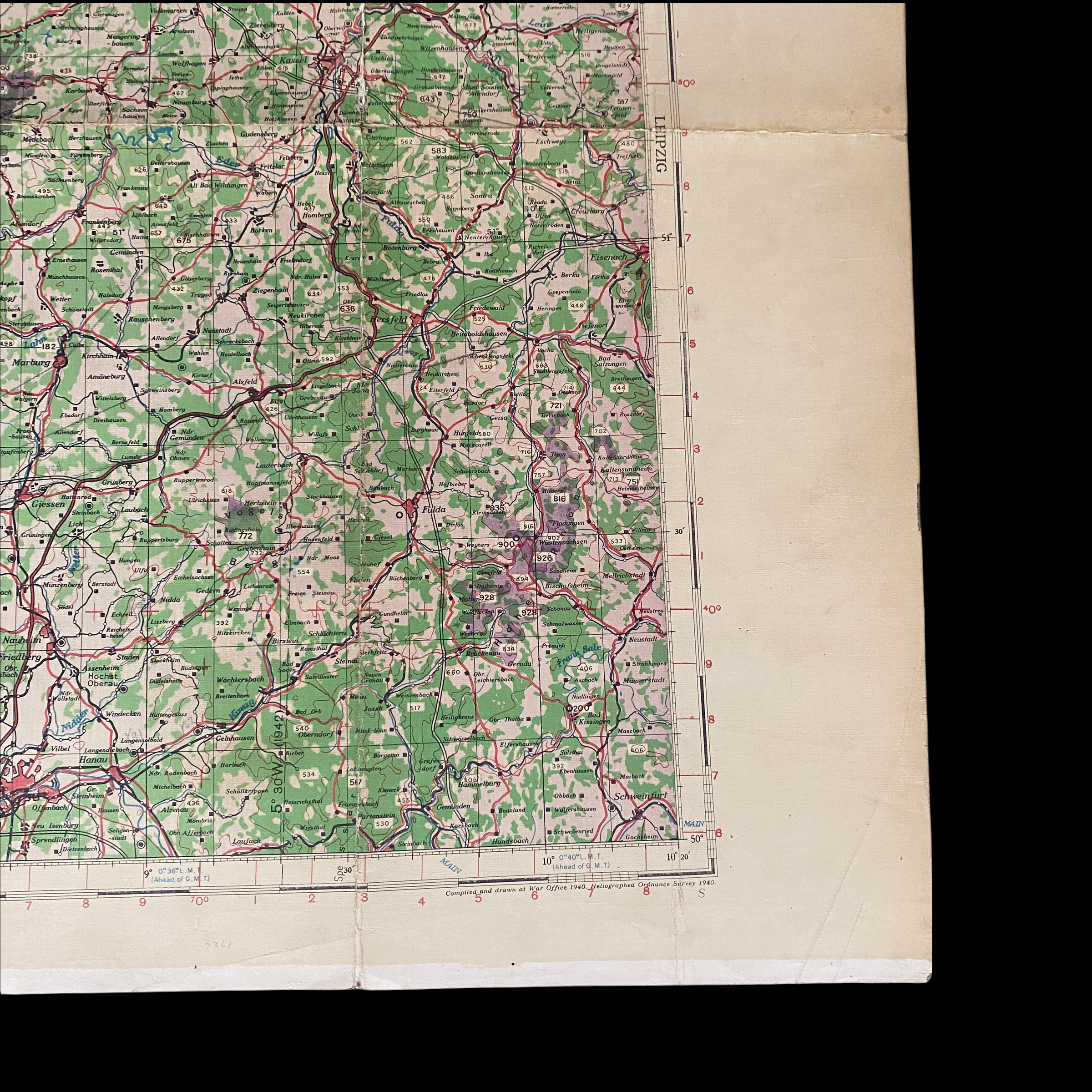
This US bombing navigation/target designation map shows multiple bombing-run flight paths over…
Koblenz (Y62)
Kassel (Y96)
Gottingen
Marburg
Bebra
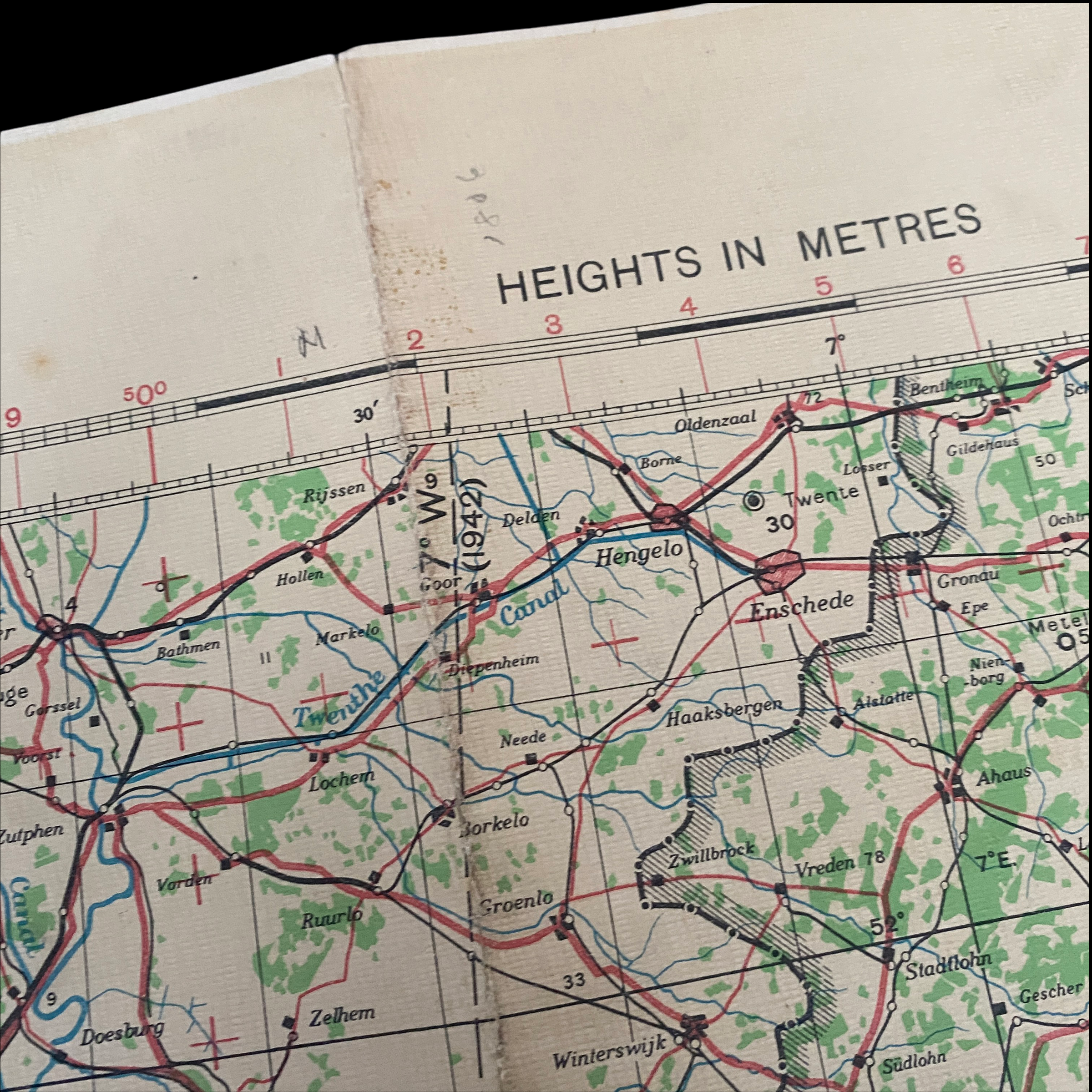
This original and rare WWII bombing air navigator map was used on multiple missions and is heavily marked with the bombing runs of multiple German targets in the Frankfurt area of Germany. This map is dated 1942 and was used in support of the bombing mission navigation of US bombers during the strategic bombing during World War II. The US bombing navigator was in charge of direction and target navigation and drew flight lines all over this operations map.
These strategic bombing targets involved sustained aerial attacks on German railways, weapons facilities, U-Boat plants, VR rocket sites, harbors, cities, workers' and civilian housing, and industrial districts in enemy territory during World War II (1939-1945). Strategic bombing as a military strategy is distinct both from close air support of ground forces and from tactical airpower. During World War II, many military strategists of air power believed that air forces could win major victories by attacking industrial and political infrastructure, rather than purely military targets.
The bombing of Kassel During WWII:
The Kassel World War II bombings were a set of Allied strategic bombing attacks which took place from February 1942 to March 1945. In a single deadliest raid on 22–23 October 1943, 150,000 inhabitants were bombed-out, at least 10,000 people died,[citation needed] the vast majority of the city center was destroyed, and the fire of the most severe air raid burned for seven days. The US First Army captured Kassel on 3 April 1945, where only 50,000 inhabitants remained, versus 236,000 in 1939.