*EXCLUSIVE* 1944 Dated - Extremely Large D-Day Operation Dragoon - Allied Bomber Navigational and Target Map - British Broad Arrow Stamped


*EXCLUSIVE* 1944 Dated - Extremely Large D-Day Operation Dragoon - Allied Bomber Navigational and Target Map - British Broad Arrow Stamped
Size: 58 (4.8 feet) x 24 inches (2 feet)
Operation Dragoon (initially Operation Anvil) was the code name for the Southern France D-Day landing operation of the Allied invasion of Provence (Southern France) on August 15th of 1944. The operation was initially planned to be executed in conjunction with Operation Overlord, the Allied landing in Normandy but was later postponed. It was here were U.S., French, and British forces landed with half a million men with the common goal to free southern France and relieve pressure off of northern France following the first invasion of Normandy.
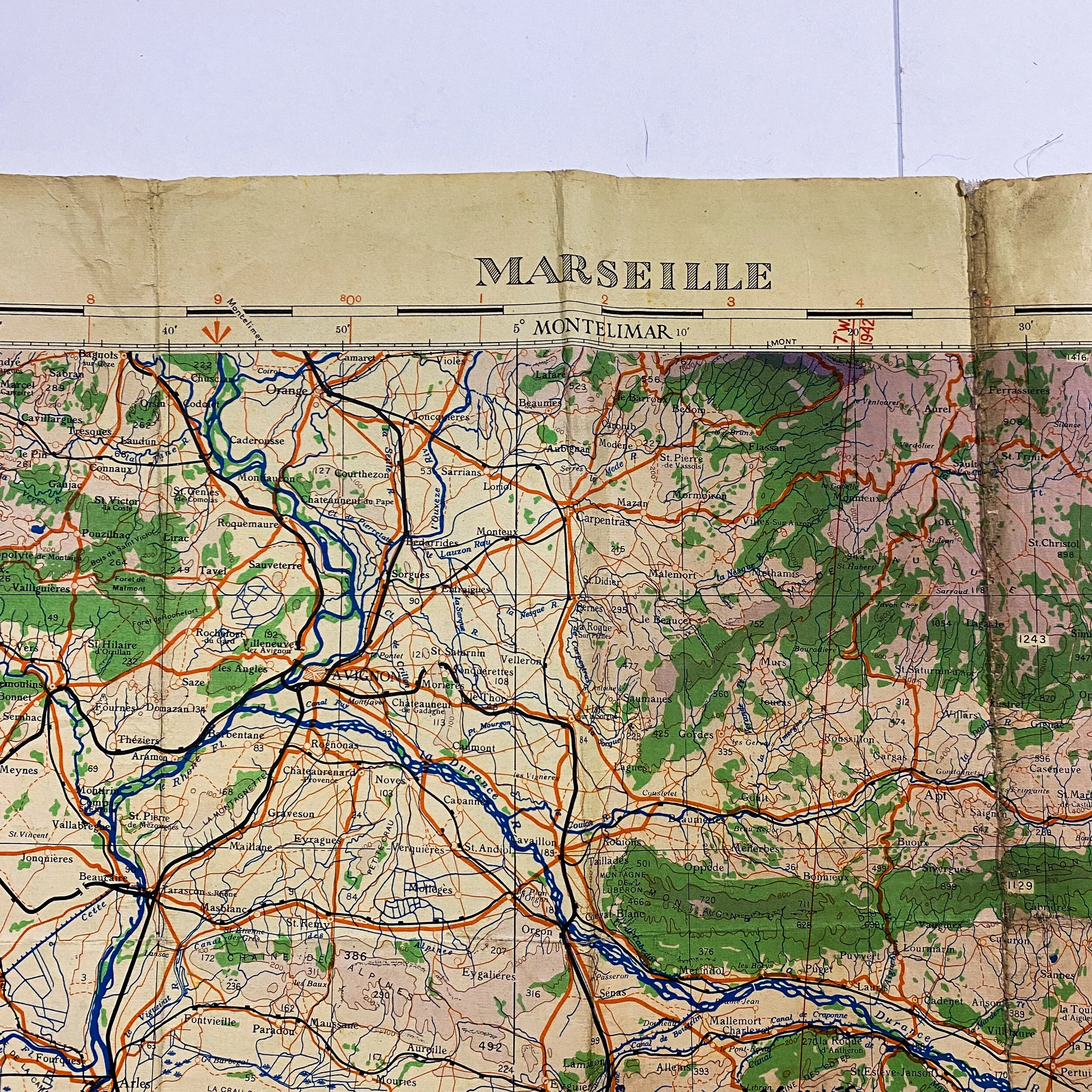
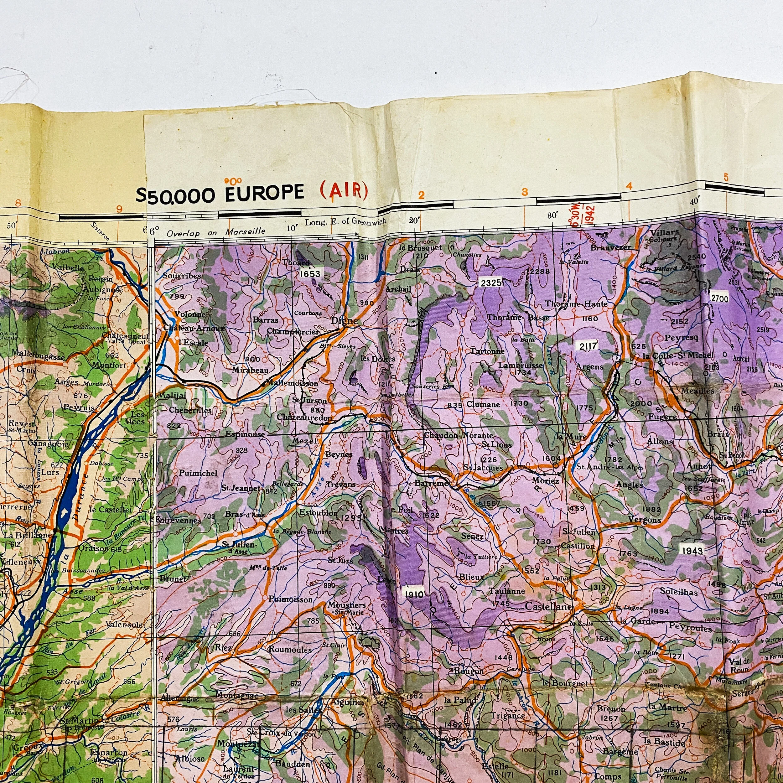
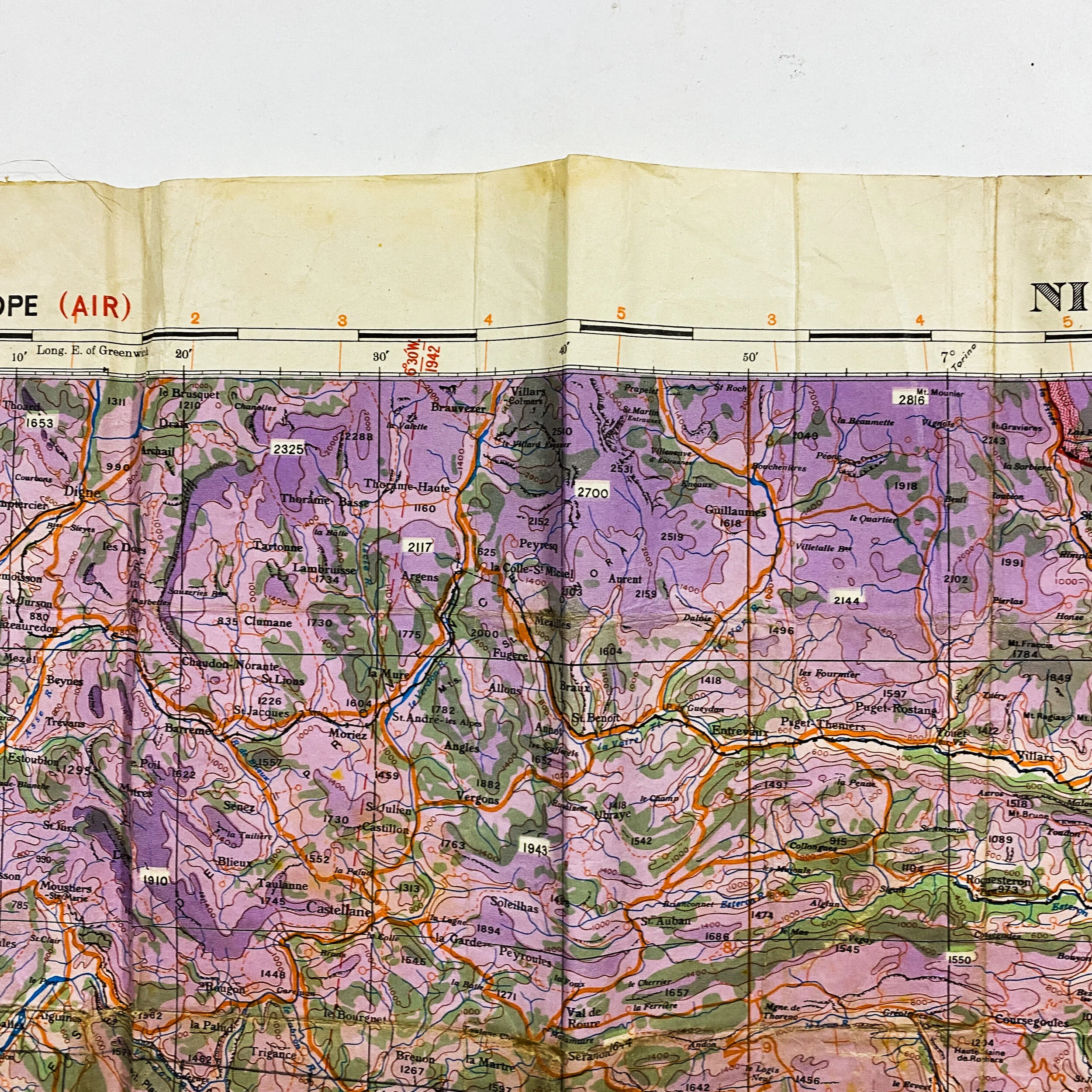
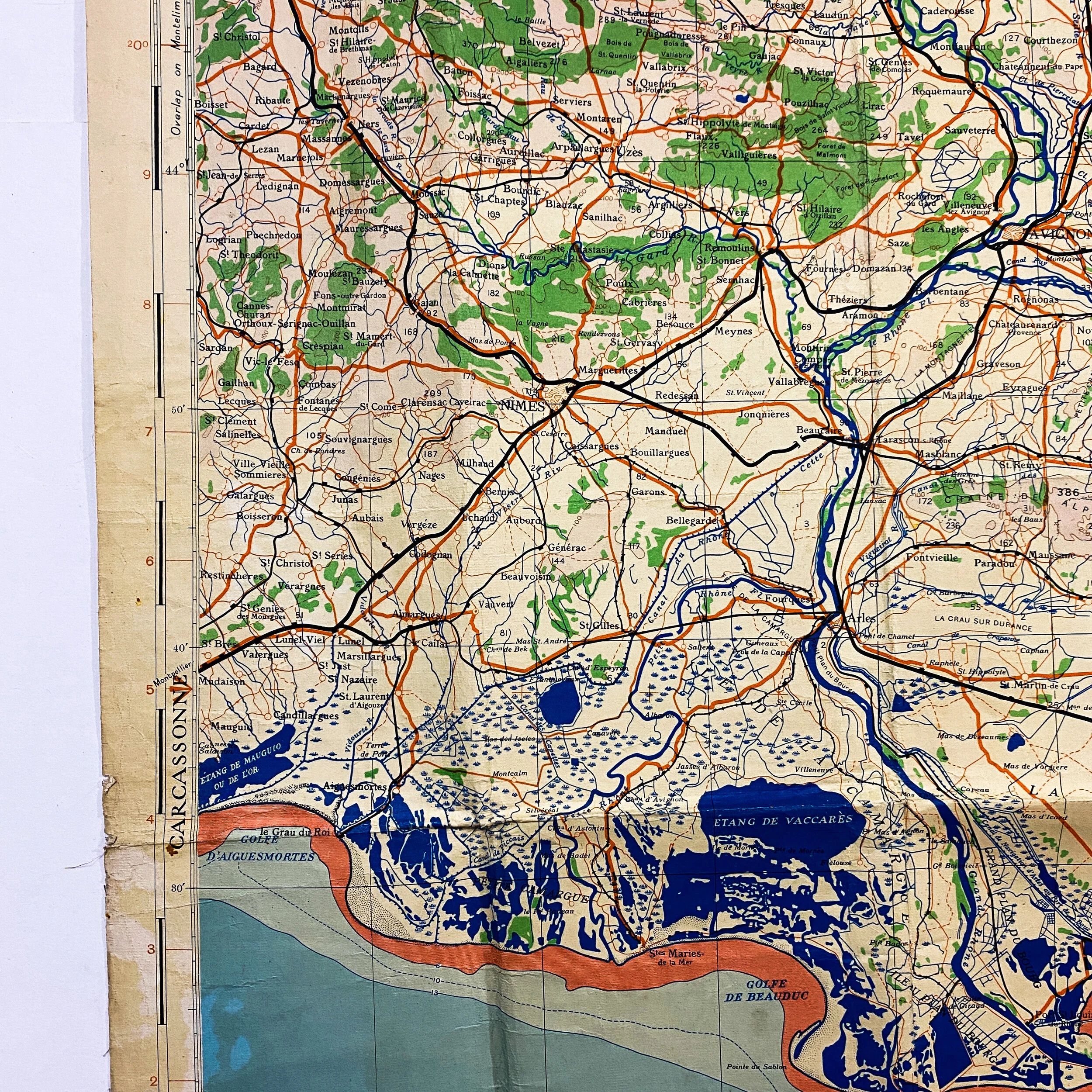
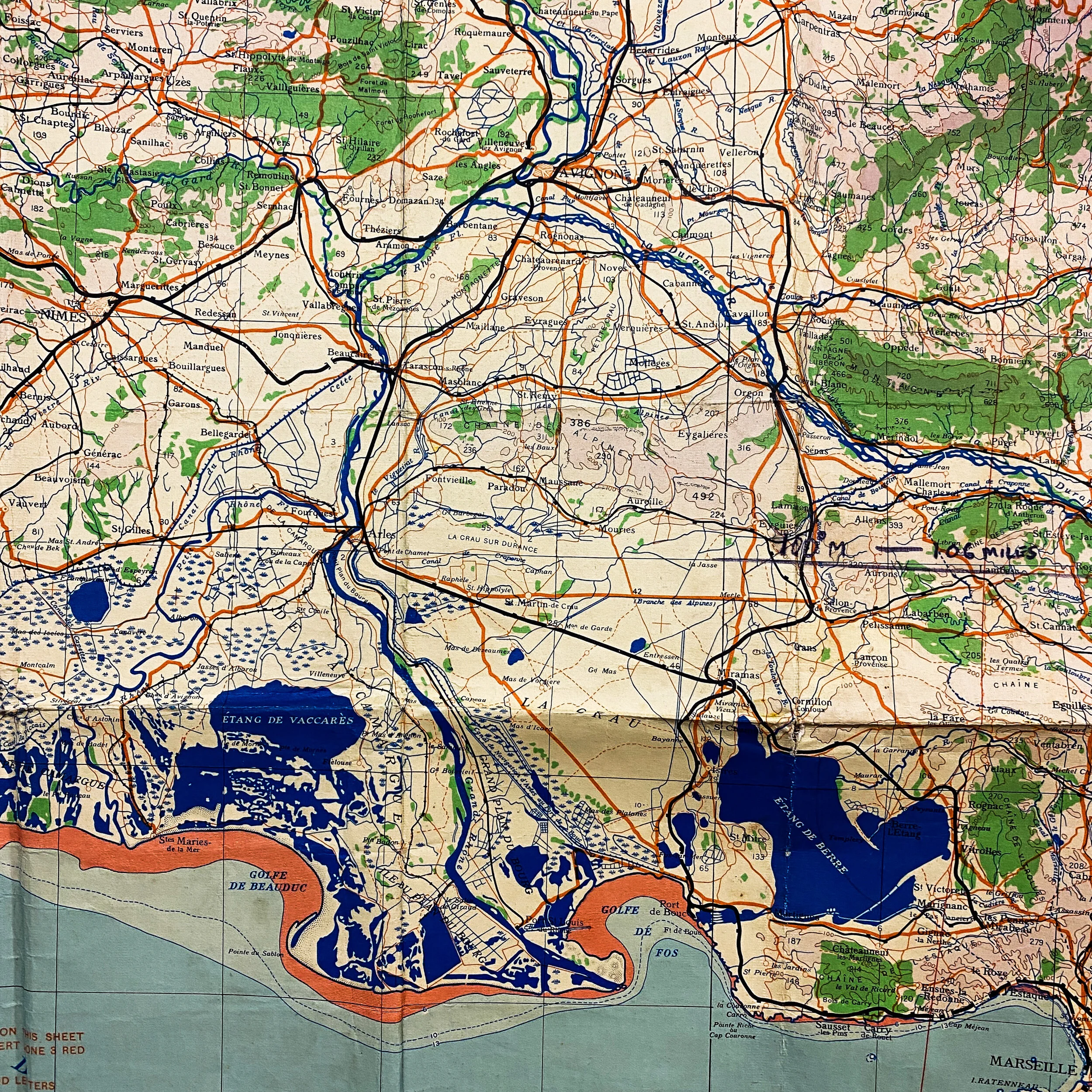
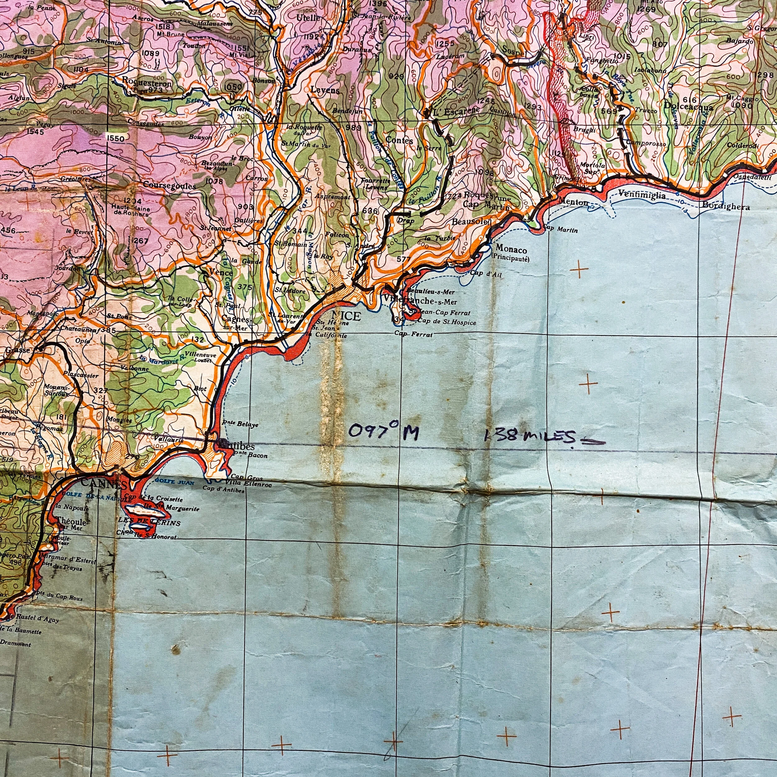
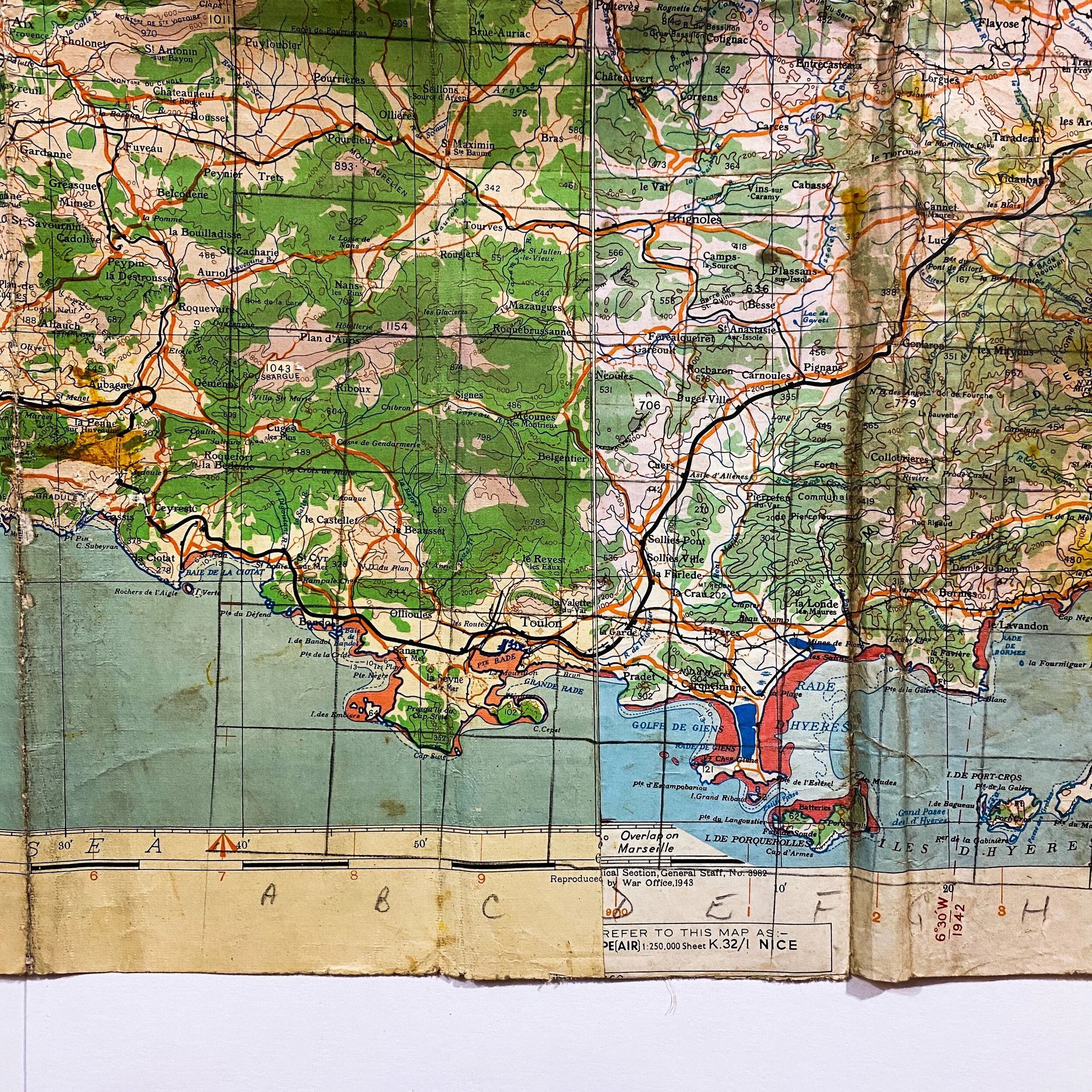
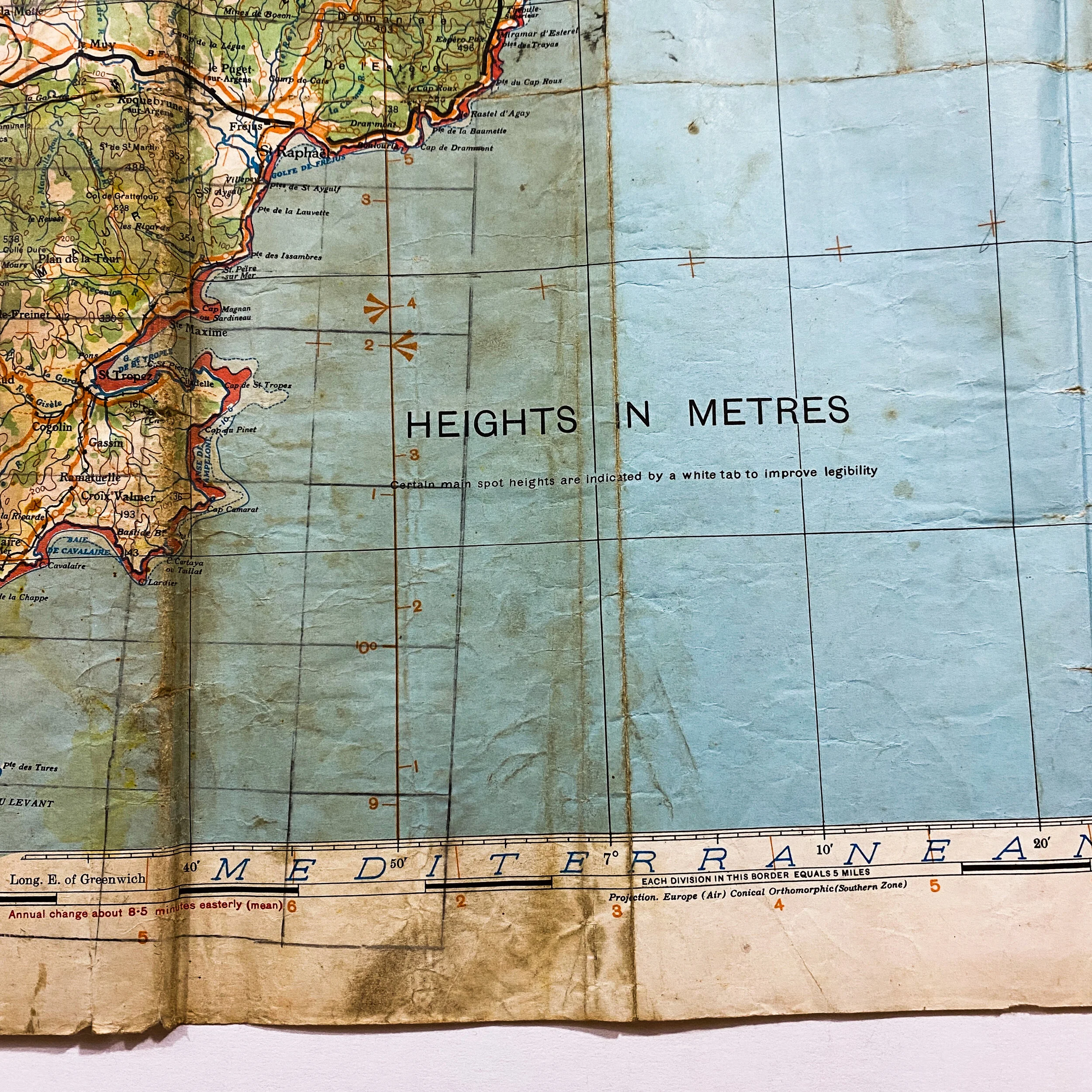
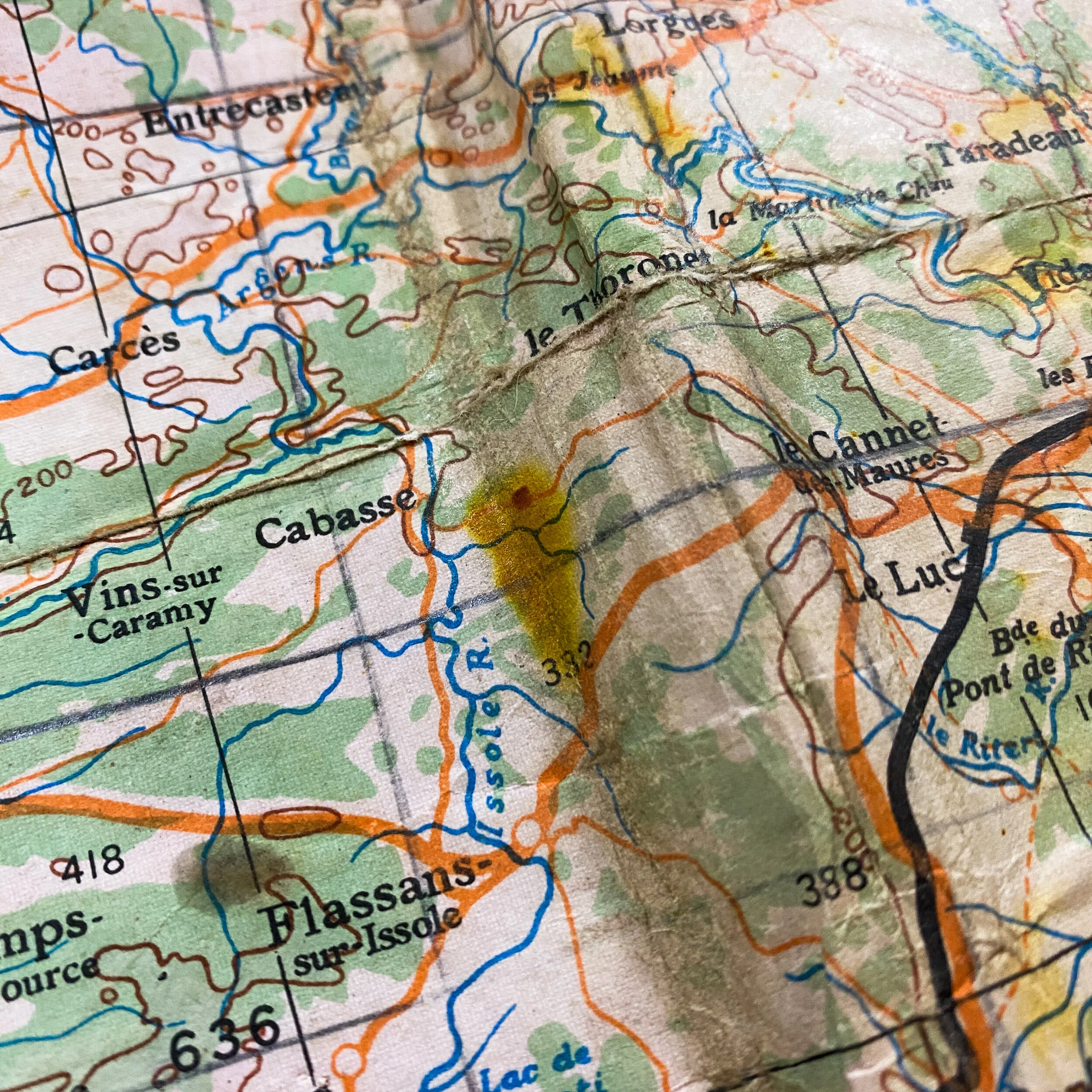
This extremely rare 1944 dated WWII Allied ‘Europe Air’ (British broad arrow marked) map was used in airborne assault on the D-Day operations of Operation Dragoon. This extremely large map is a combination of two Europe Air maps “Marseille’ (left) and Nice (right) and shows the coastal land and Axis occupied strongpoints and towns where the Allies made their amphibious assault on the beachhead before pushing inland. Before the landing of Allied troops the preceding bombing missions, together with resistance sabotage acts, hit the Germans heavily, interrupting railroads, damaging bridges, and disrupting the communication network. The landing started on the morning of August 15th where ships of the Western Naval Task Force approached under cover of darkness and were in position at dawn. The first of 1,300 Allied bombers from Italy, Sardinia, and Corsica began aerial bombardment shortly before 06:00. Bombing was nearly continuous until 07:30, when battleships and cruisers launched spotting aircraft and began firing on specific targets detected by aerial surveillance. Naval gunfire ceased as the landing craft headed ashore at 08:00. The relatively steep beach gradients with small tidal range discouraged Axis placement of underwater obstacles, but landing beaches had been defensively mined. LCIs leading the first wave of landing craft fired rockets to explode land mines on the beaches to be used by following troops. Supported by air, Allied bombers paved the way for the assault group to progress as quicky as they did. The main landing force consisted of three divisions of the VI Corps. The 3rd Infantry Division landed on the left at Alpha Beach (Cavalaire-sur-Mer), the 45th Infantry Division landed in the centre at Delta Beach (Le Muy, Saint-Tropez) and the 36th Infantry Division landed on the right at Camel Beach (Saint-Raphaël).
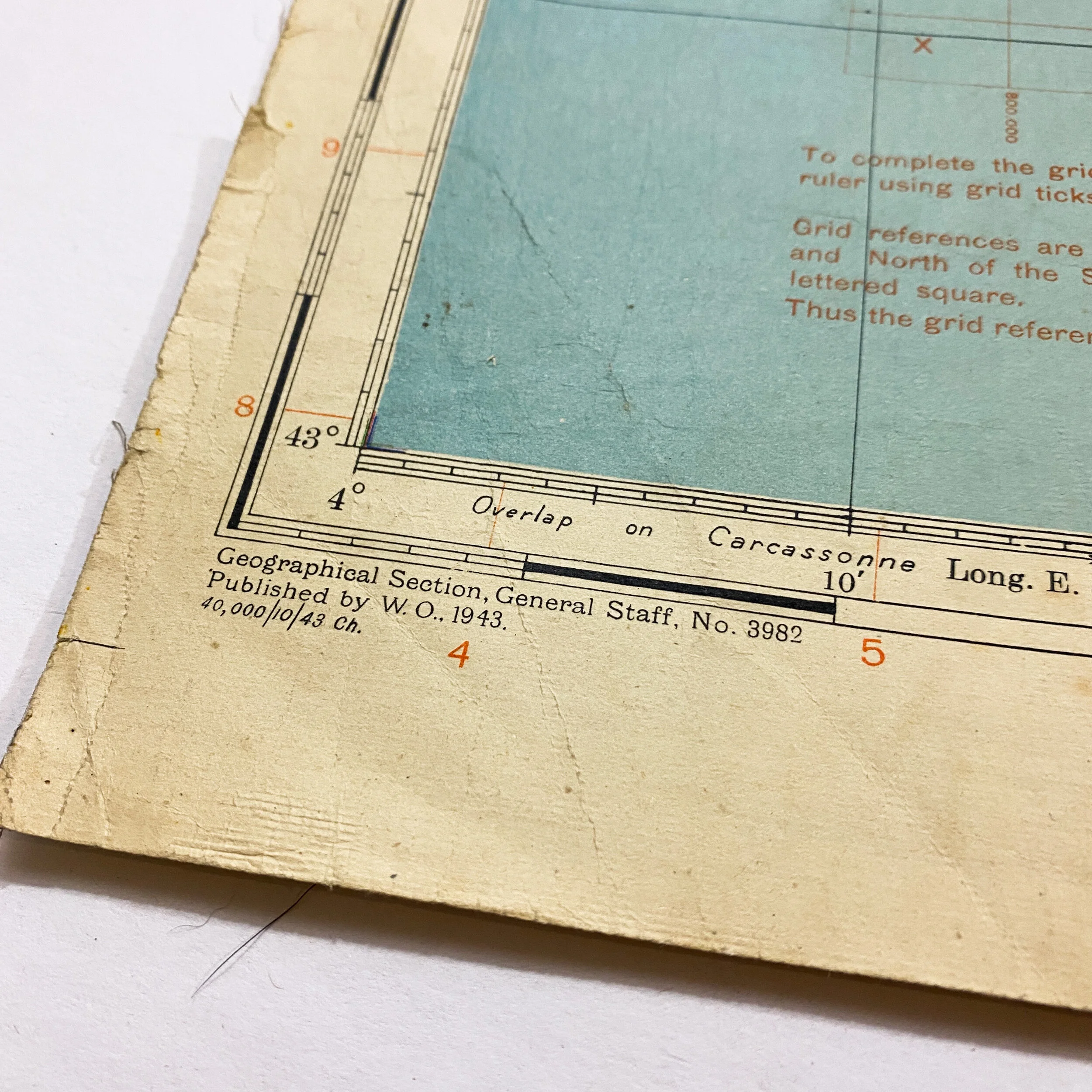
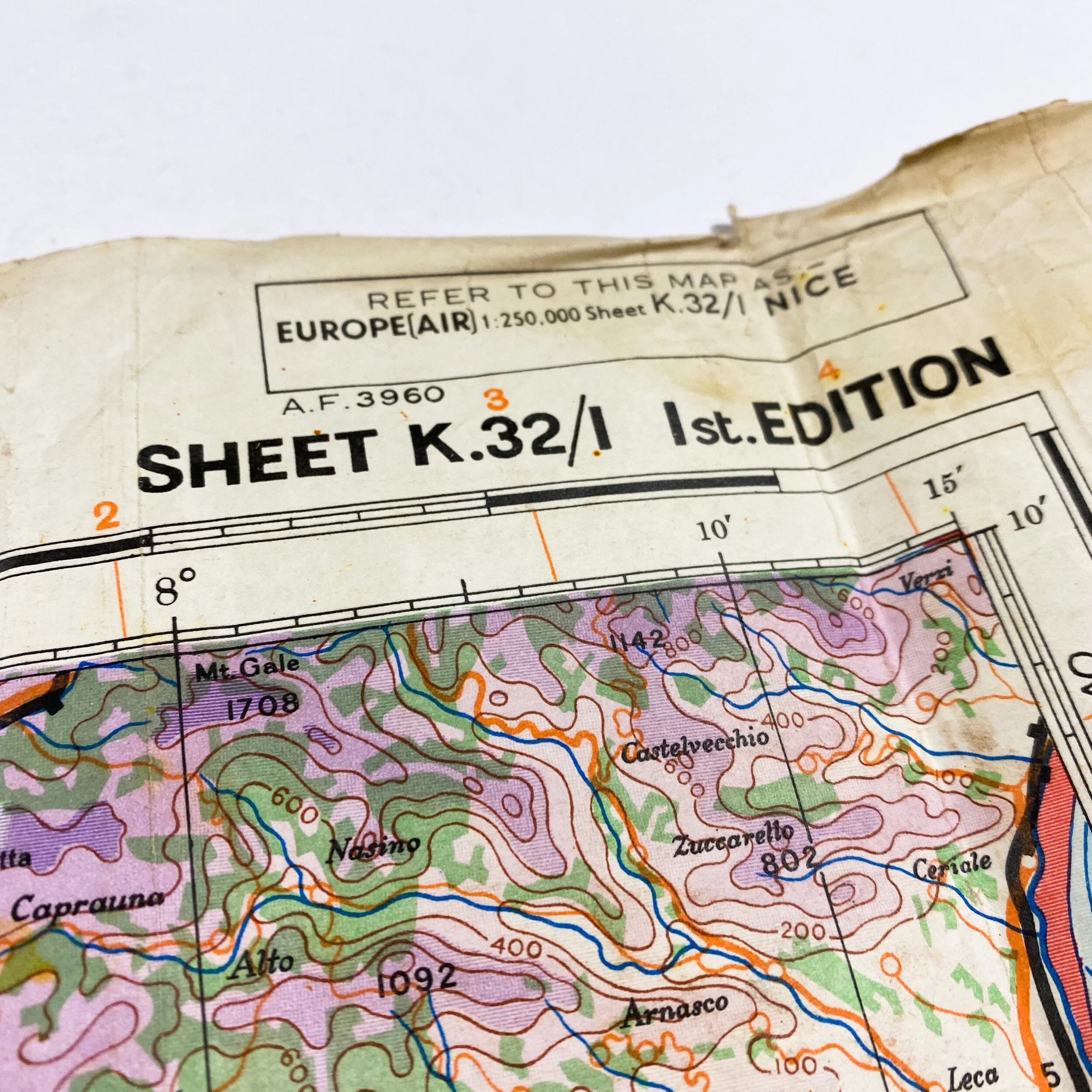
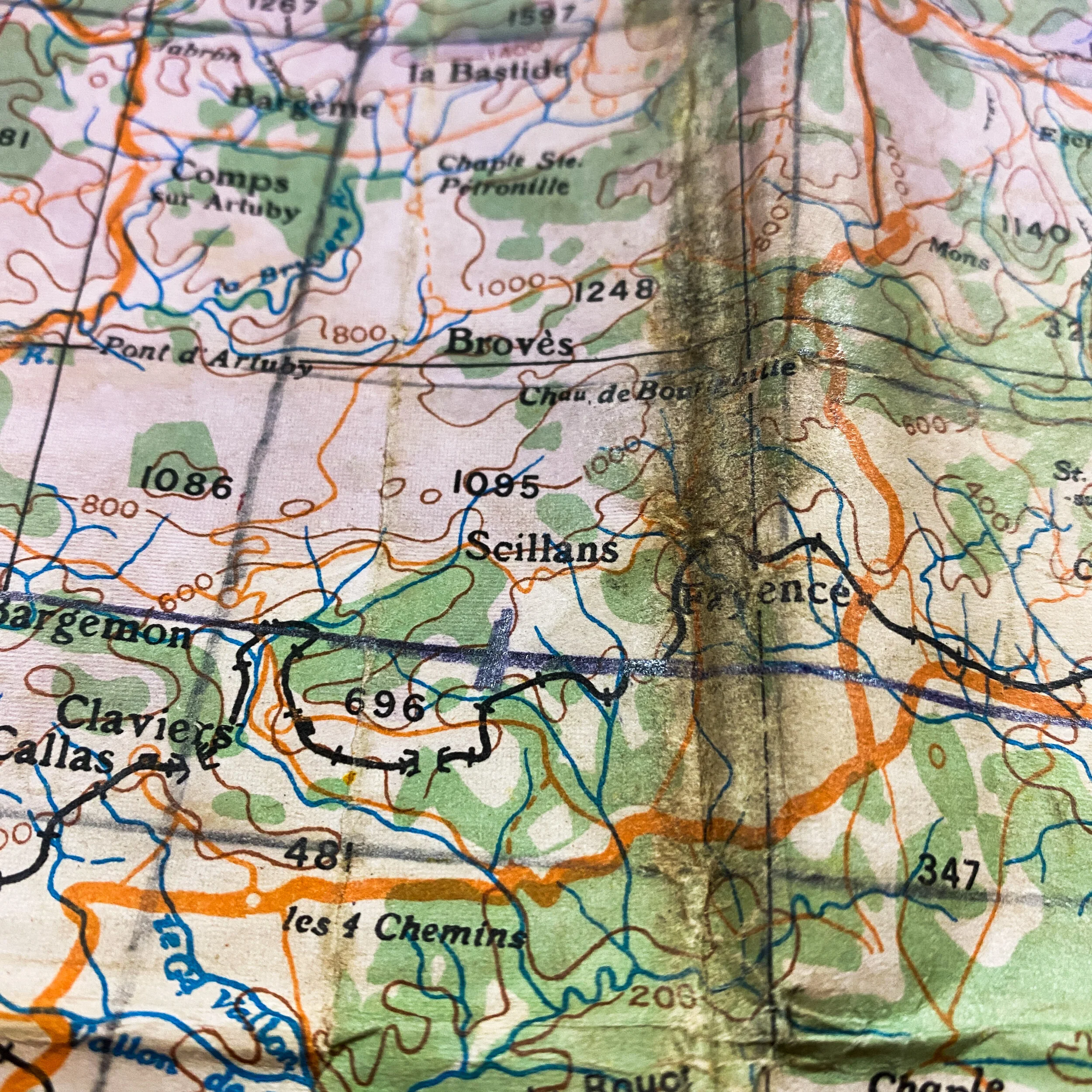
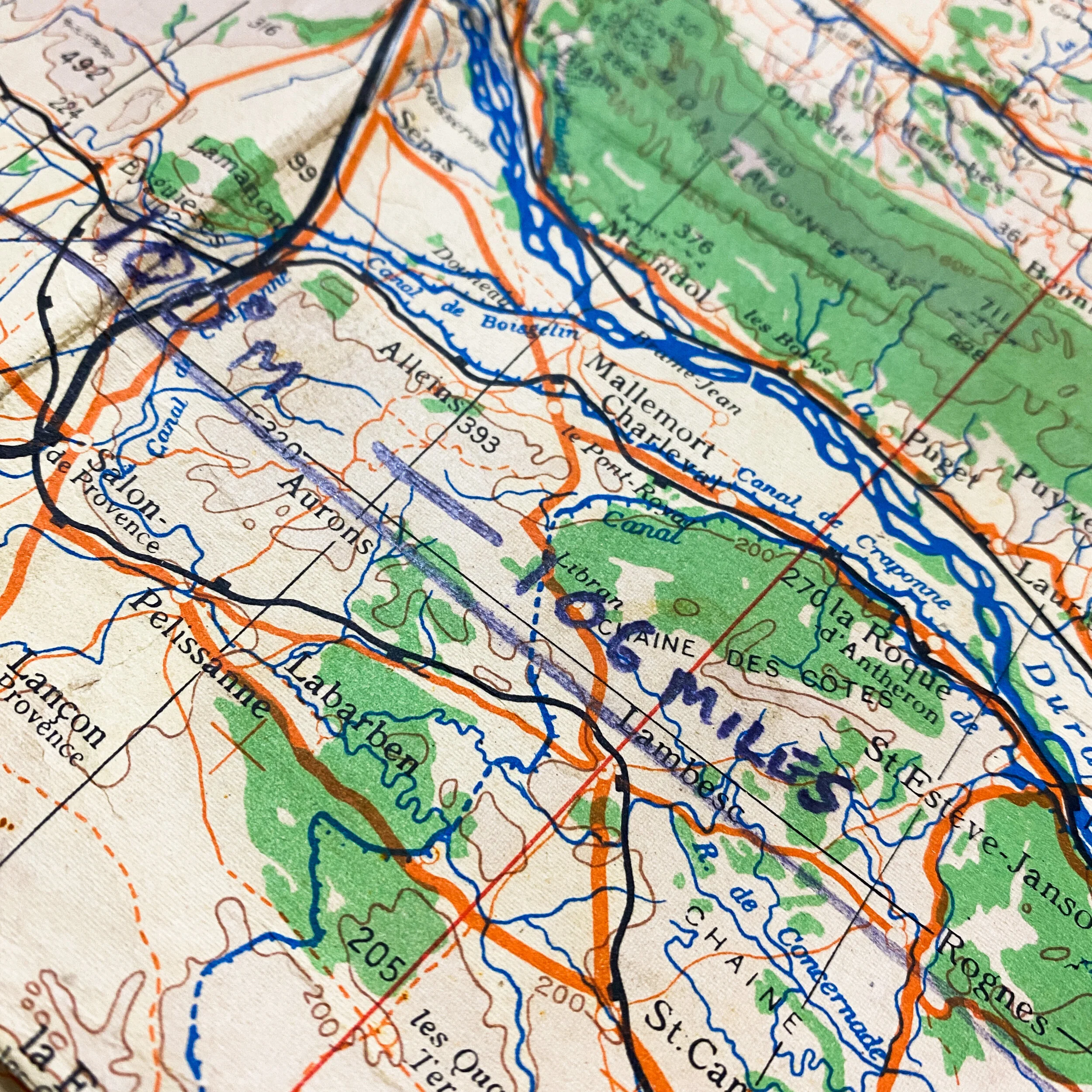
This map is an ‘Air’ map and would have been used by Allied bomber crews providing support for the landing troops below. The map contains extensive wear and signs of heavy use as it was used for many navigational flight paths and multiple bombing run objectives along the coast before, during and after the Allied D-Day landings. The map features these navigational markings not only on the map through the crossing of the ocean and the land mass itself, but also showing many navigational directional markings, miles to locational targets, and course plots. These written annotations done by the aircrew can still be seen very visible on the map face. This map also features numerous stamps of the infamous British broad war arrow. What makes this map even more unique is that it also contains layered tints of the marine contours and depths along the very beaches the Allied forces made their initial landings and assault.
The landings were overwhelmingly successful. On Delta and Alpha beaches, German resistance was low. The Osttruppen surrendered quickly, and the biggest threats to the Allies were the mines. A single German gun and a mortar position were silenced by destroyer fire. The Allied units in this sector were able to secure a bridgehead and quickly linked up with the paratroopers, capturing Saint-Tropez and Le Muy. The most serious fighting was on Camel Beach near the town of Saint-Raphaël. This beach was defended by several well-emplaced coastal guns, as well as flak batteries. Through heavy German fire, the Allies attempted to land at the shore. However, at sector Red of the Camel Beach landing zone, the Allies were not able to succeed. A bombing run of 90 Allied B-24 bombers was called in against a German strongpoint here. Even with the assistance of naval fire, the Allies were not able to bring the landing ships close to the shore. They decided to avoid Camel Red and land only at the sectors of Camel Blue and Camel Green, which was successful.