WWI Dunkirk War Office Map Dated 1915


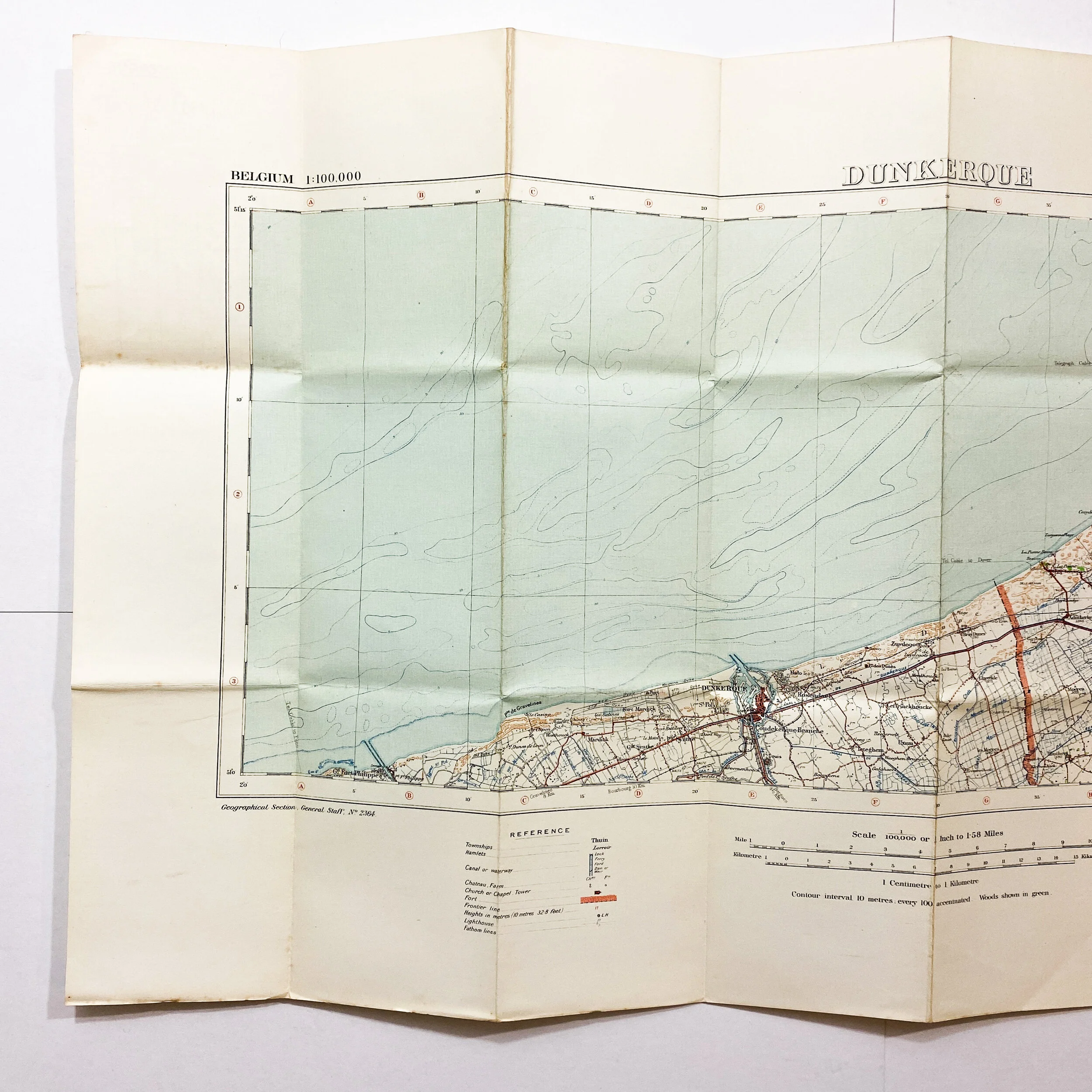

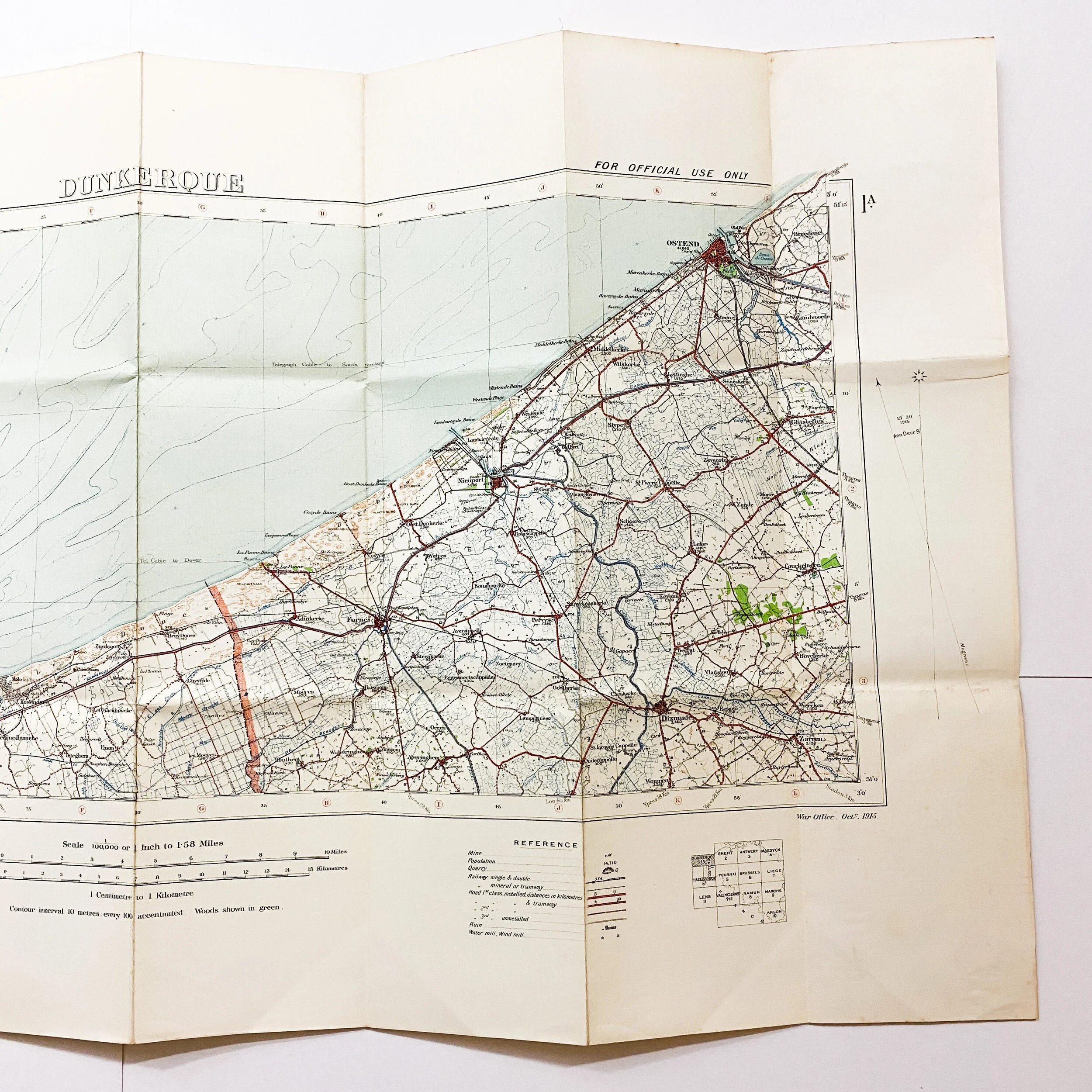


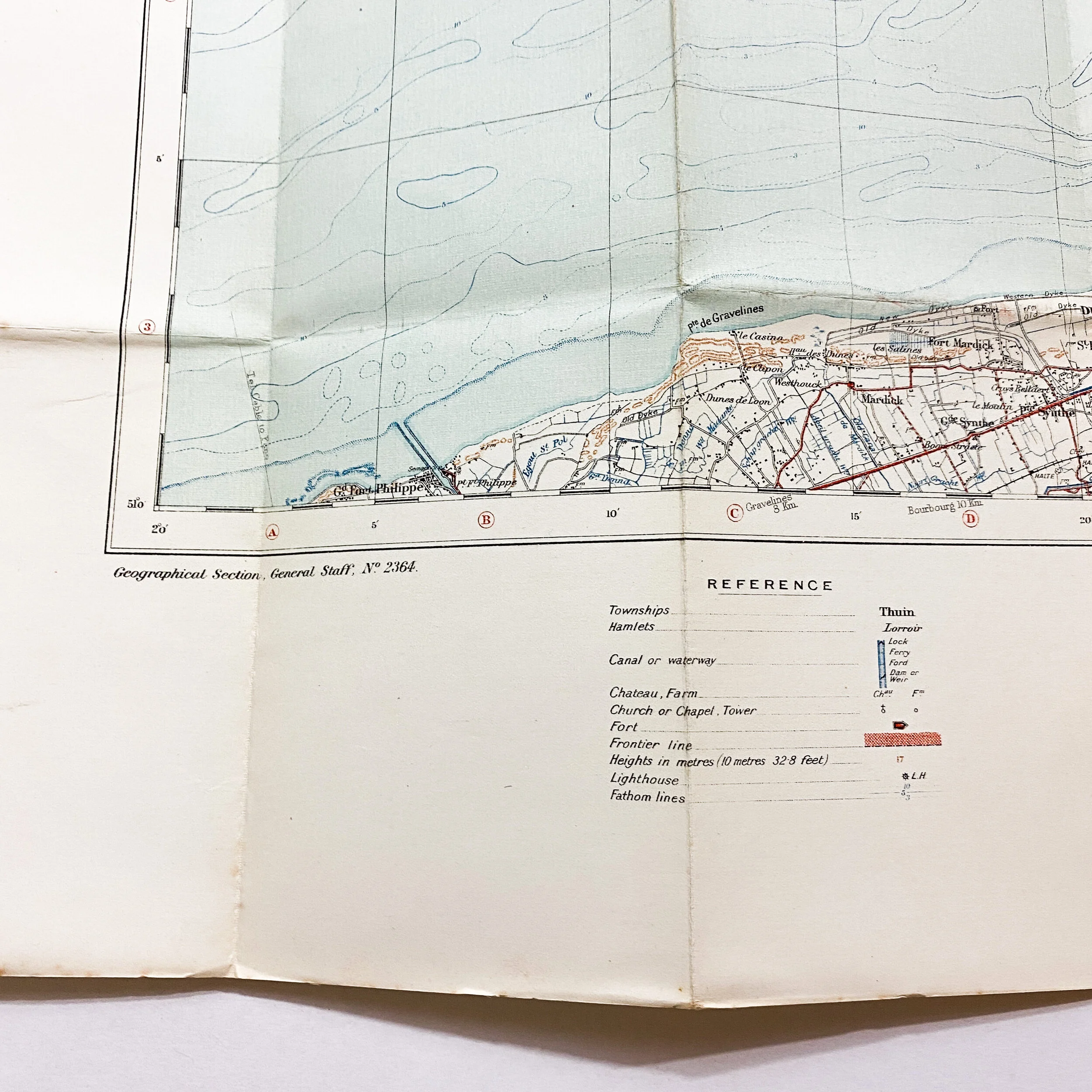
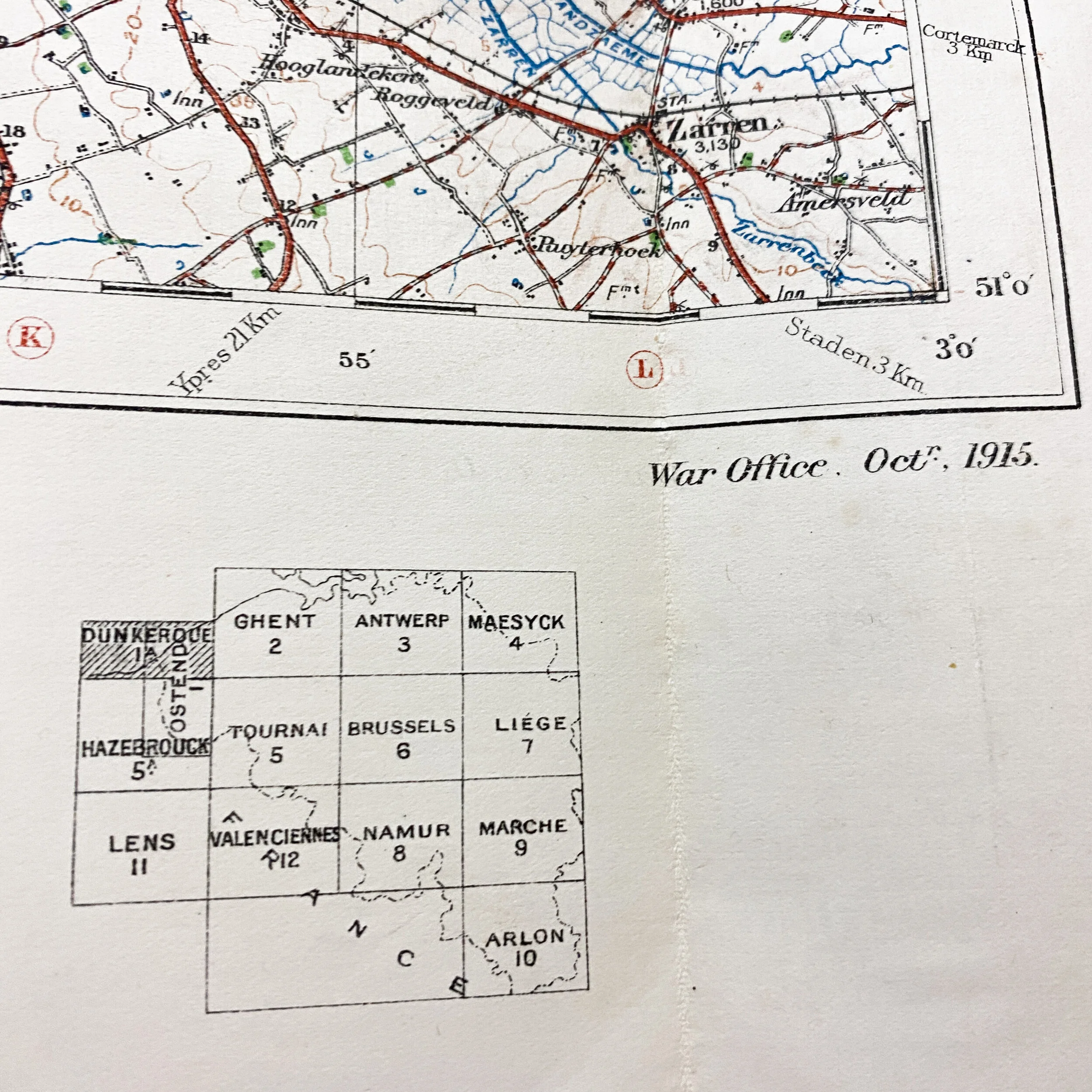


WWI Dunkirk War Office Map Dated 1915
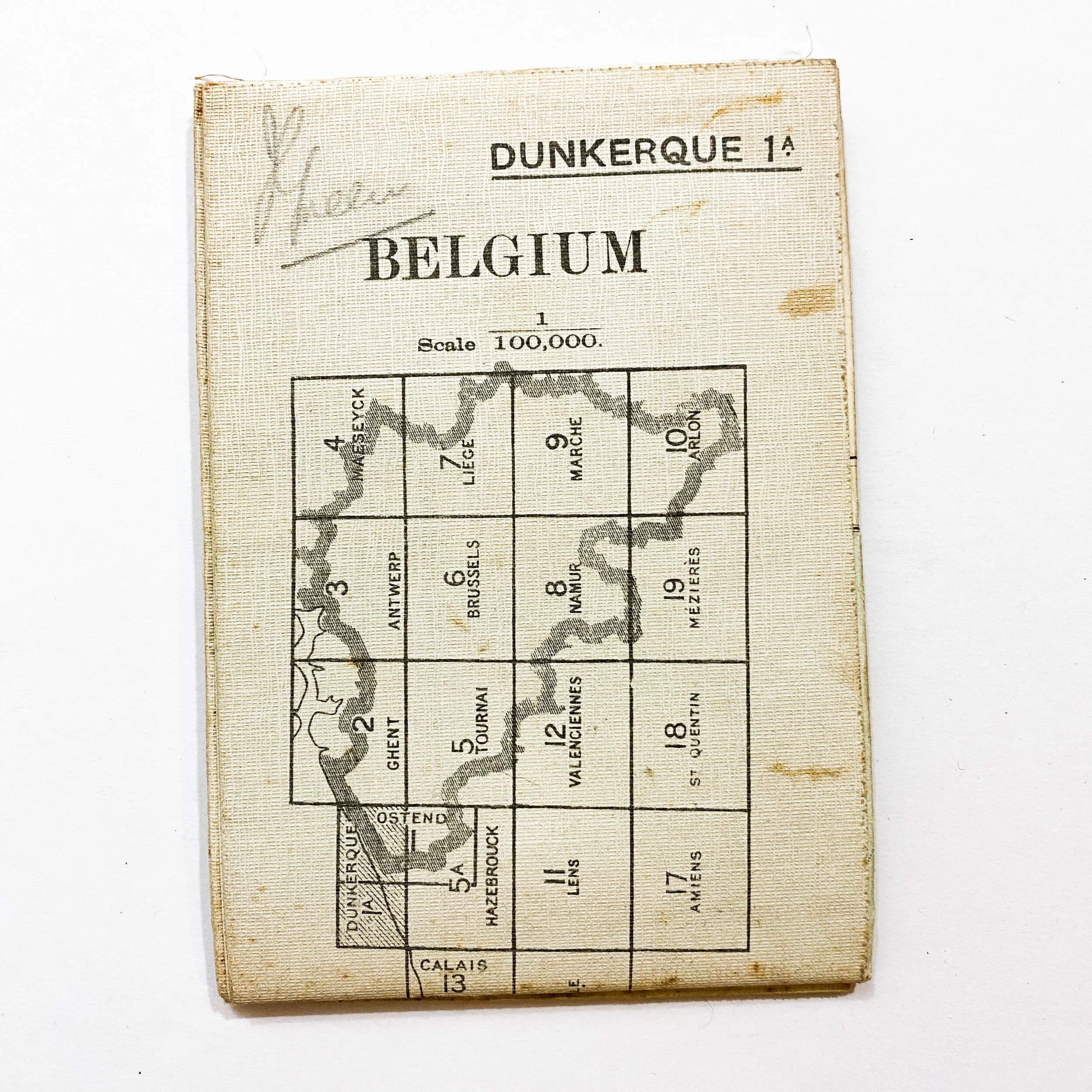
Size: 34 x 18.5 inches
Dated October of 1915 this War Office map shows the port city of Dunkirk. The map is printed on a heavy duty linen paper.
Dunkirk played in extremely crucial role as a strategic city during World War I. The U.S. Naval Air Station at Dunkirk, France, was established as the first U.S. naval air station developed on foreign soil during World War I on June 13, 1917. The northern France station was diestablished in January 1919. In the early outbreak of the war, Dunkirk's port was used extensively during the war by British forces. Beginning in 1915, the city experienced severe bombardment, including from the largest gun in the world in 1917, the German 'Lange Max'. On a regular basis, heavy shells weighing approximately 750 kg were fired from Koekelare, about 45–50 km away. The bombardment killed nearly 600 people and wounded another 1,100, both civilian and military, while 400 buildings were destroyed and 2,400 damaged. The city's population, which had been 39,000 in 1914, reduced to fewer than 15,000 in July 1916 and 7,000 in the autumn of 1917. Because of the devastation and heroic efforts of the civilians of the city throughout the war, Dunkirk was awarded the Croix de Guerre in 1919, as well as the Legion of Honour and the British Distinguished Service Cross.
*The reference picture displayed is a wrecked WWI enemy seaplane, one of the German squadron planes crashed, which was shot down over Dunkirk