29th U.S. Army Engineers Water Supply Map of Mezieres South West Quadrangle


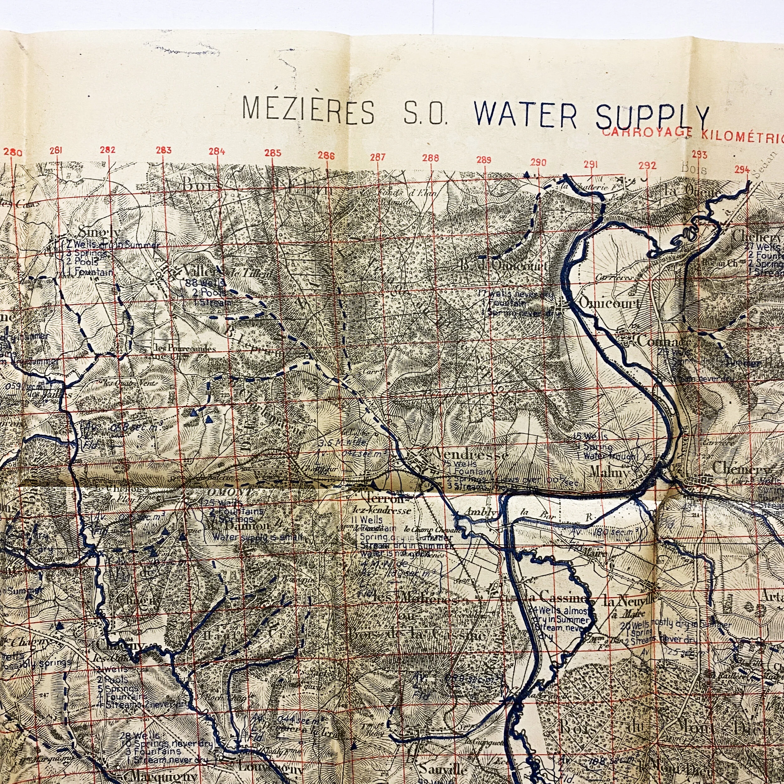


29th U.S. Army Engineers Water Supply Map of Mezieres South West Quadrangle
Size: 29.5 x 21 inches
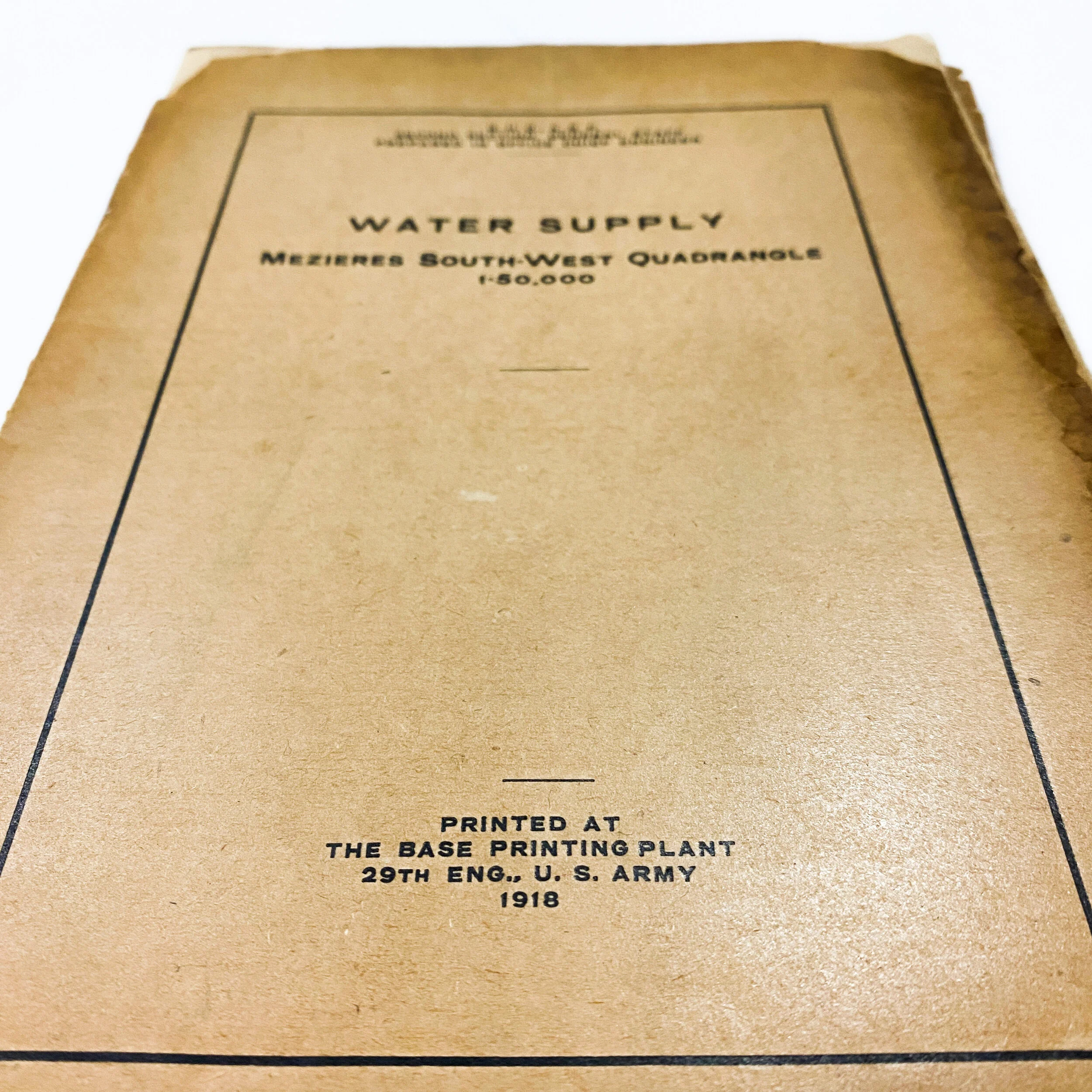
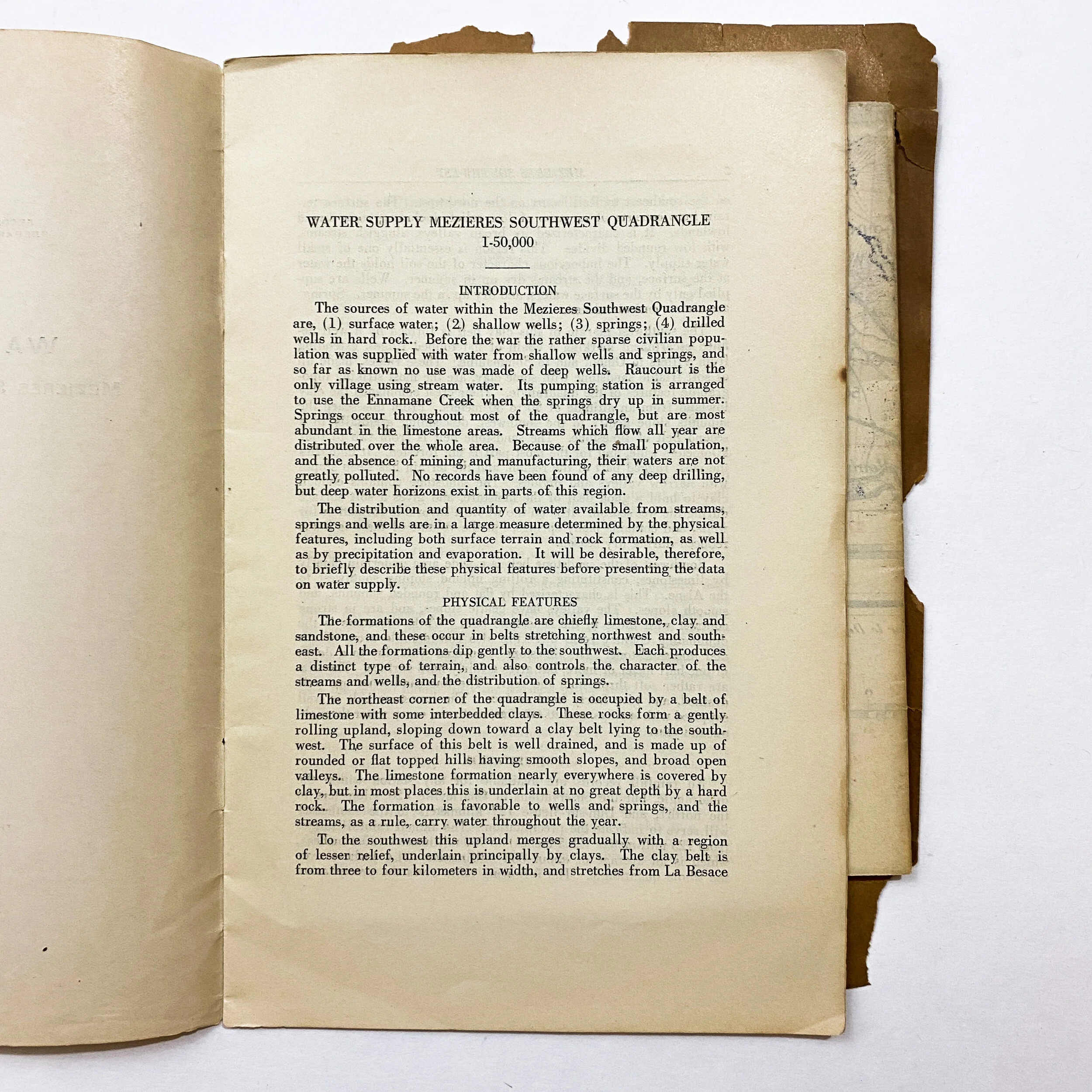
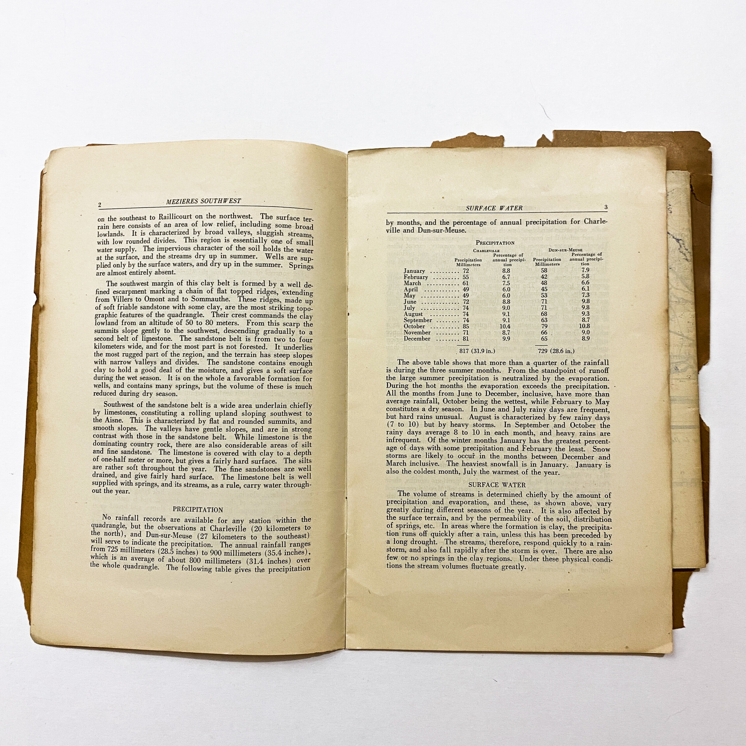
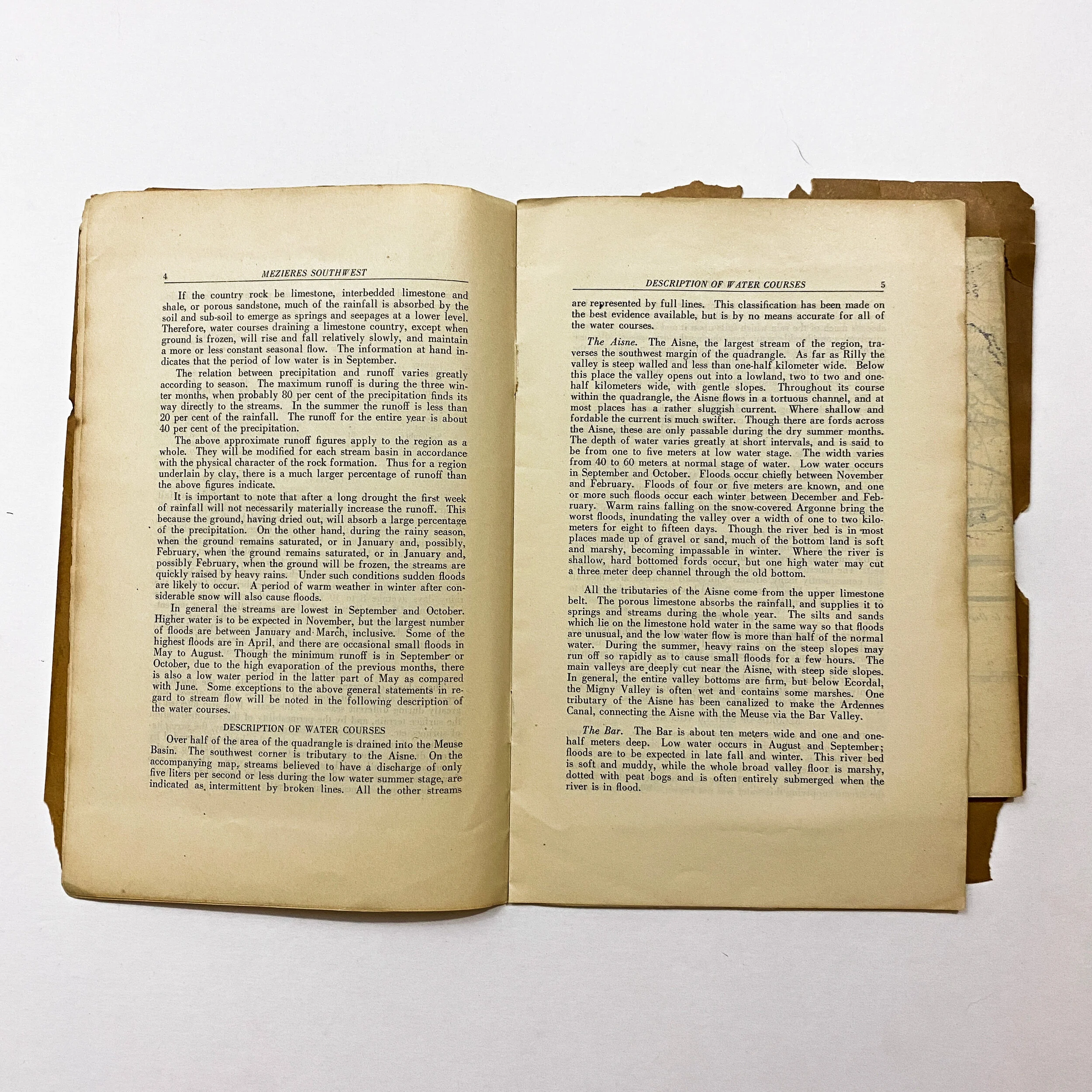
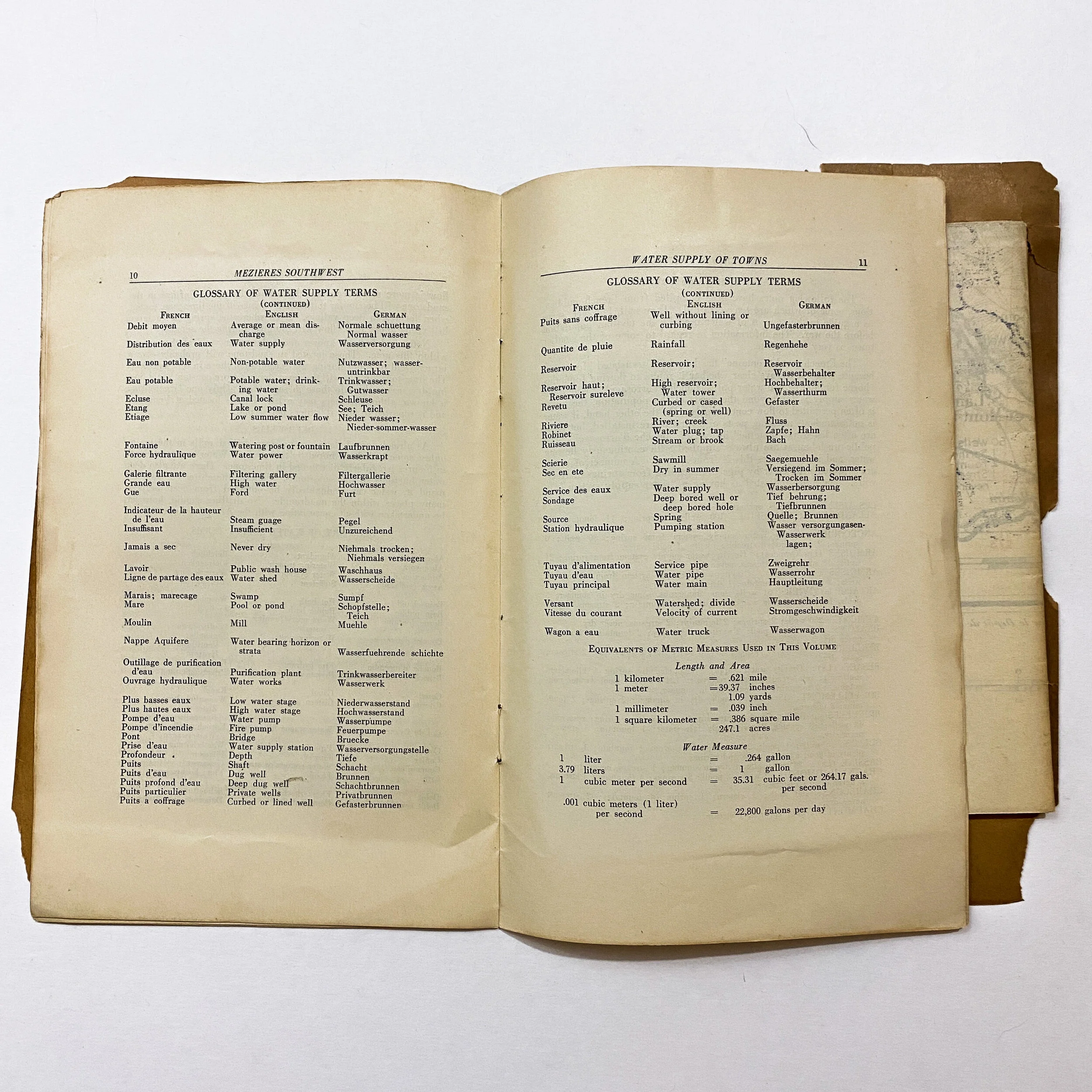
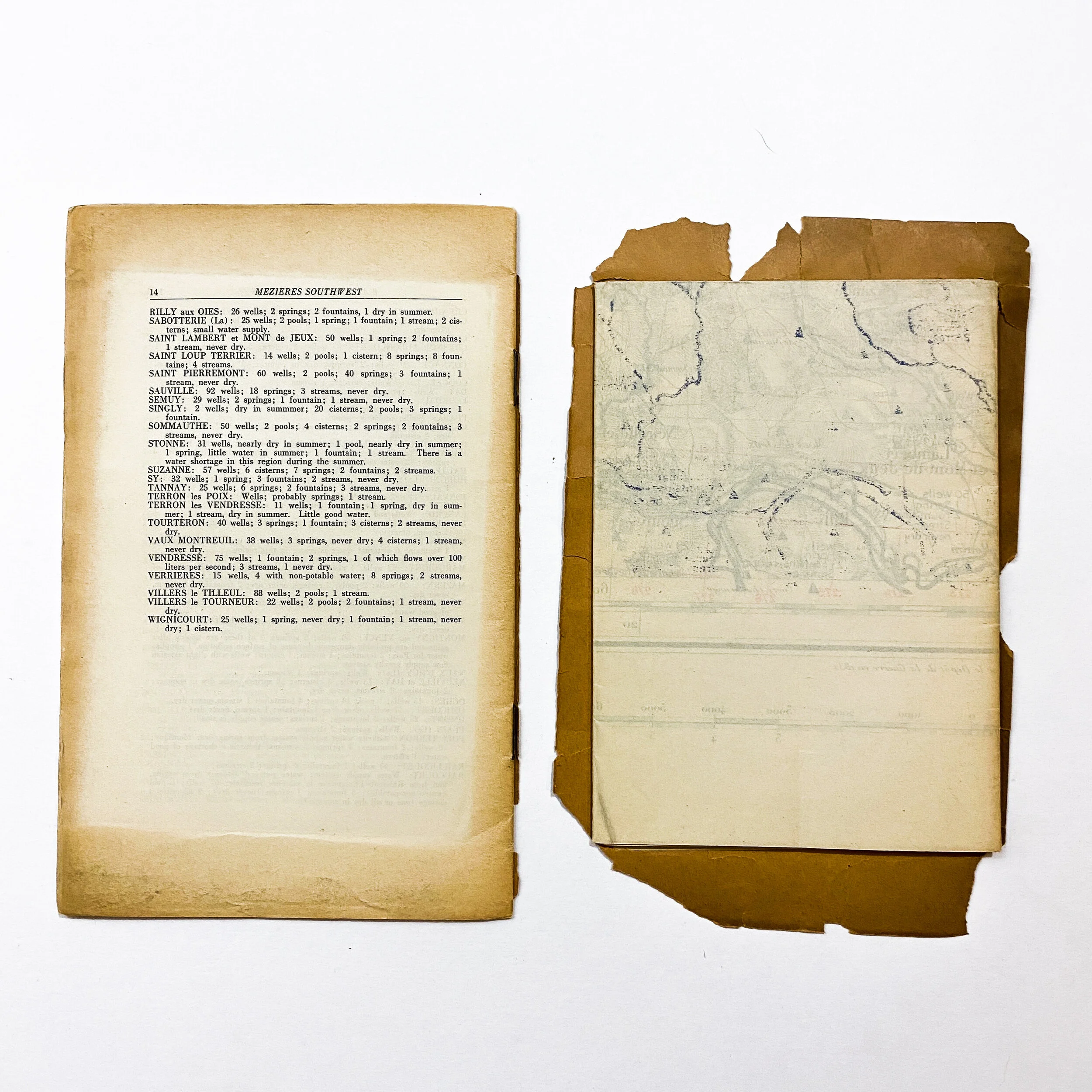
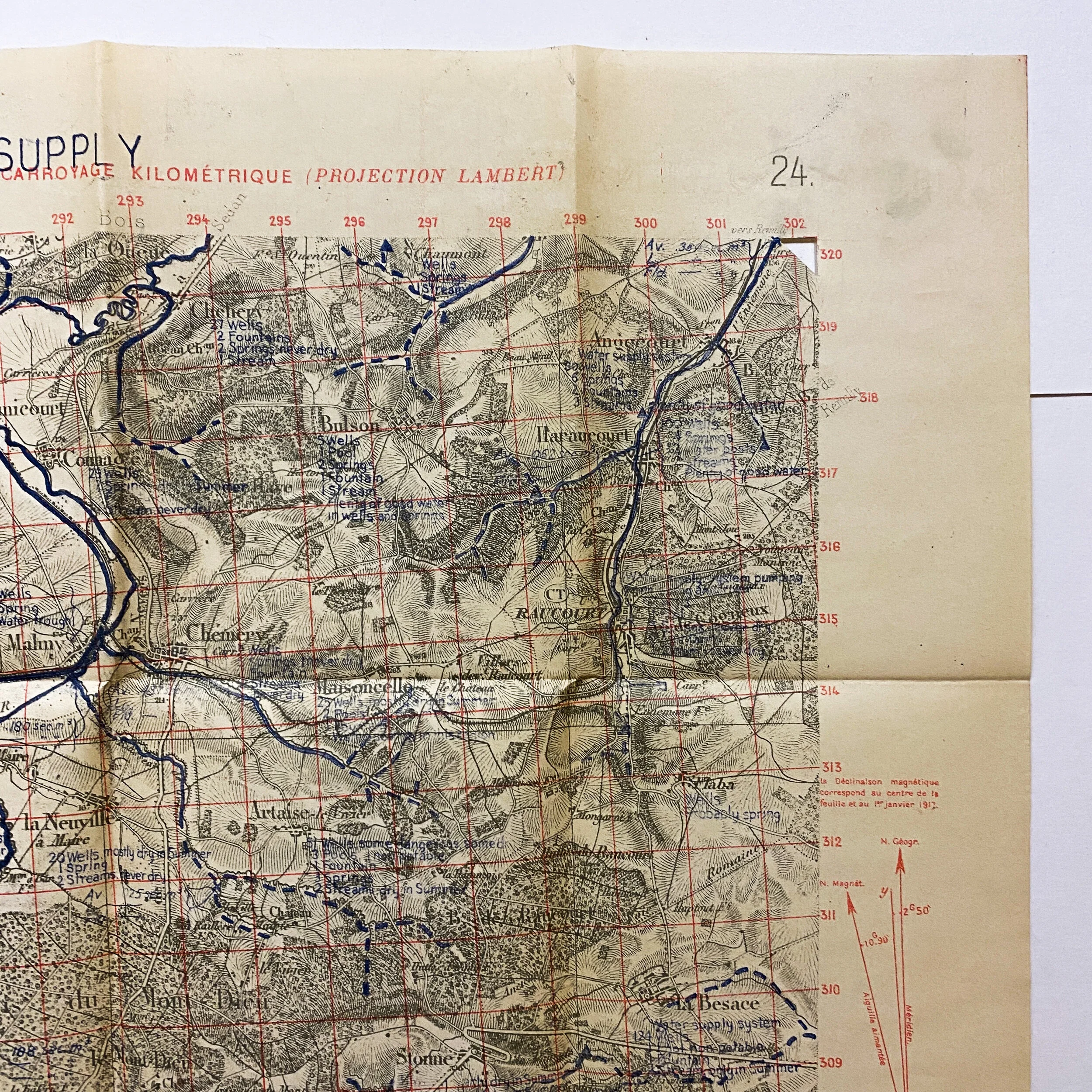
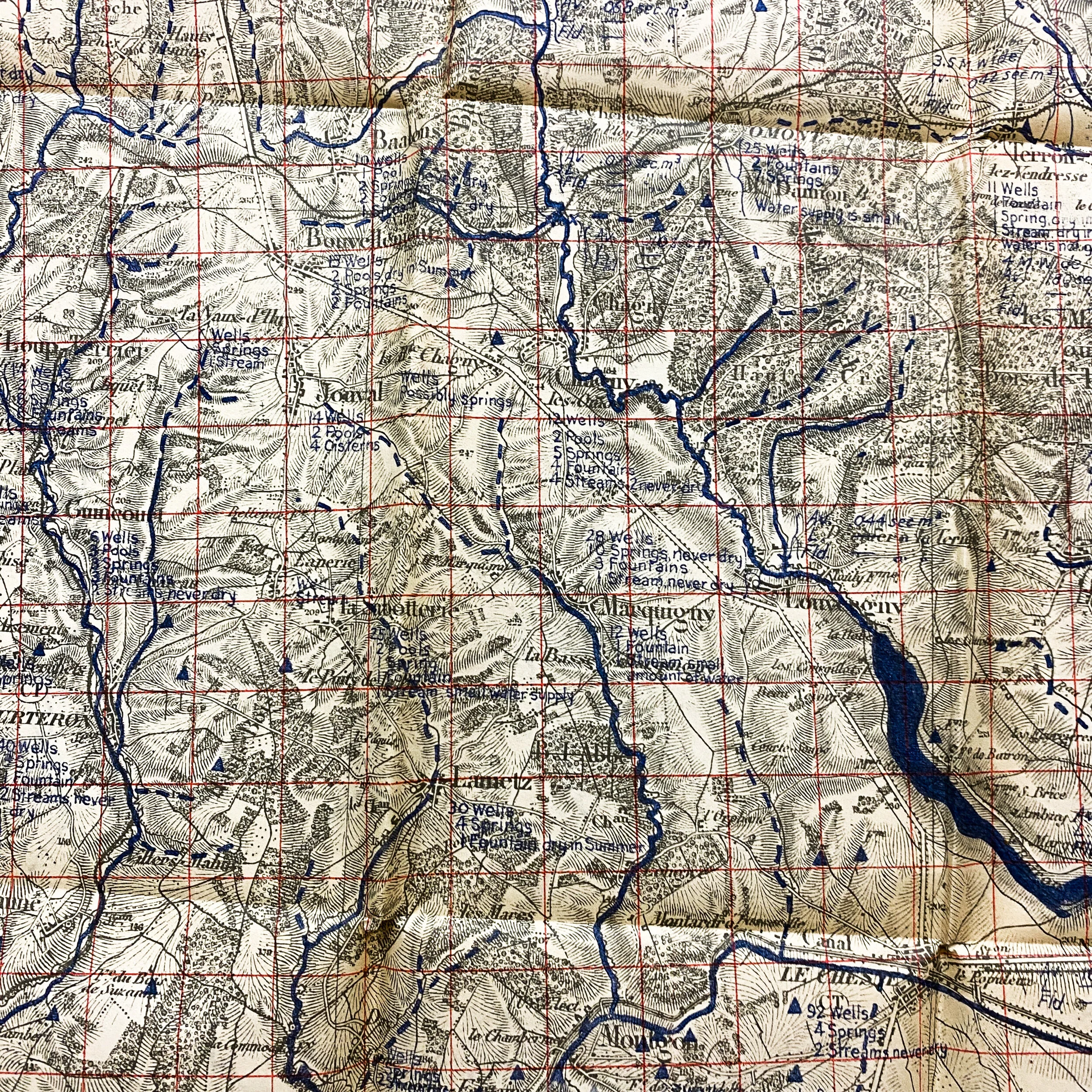
This rare 1918 map and booklet lot was printed at the base plant of the 29th engineers of the U.S. Army. The math details the water supply of the ‘Mezieres South West Quadrangle’. The book details in writing the surface water of the area, shallow wells in each city, reservoirs, as well as a glossary of water supply terms translated in both French, English and German. The booklet also still contains the original map of the area showing gridded sectors of important cities and labeling the wells and water of the area. Using a French drawn map dated 1913, the geologic section of this A.E.F. map is numbered ‘No. GS-30’ and shows updated information as of October 30, 1918.
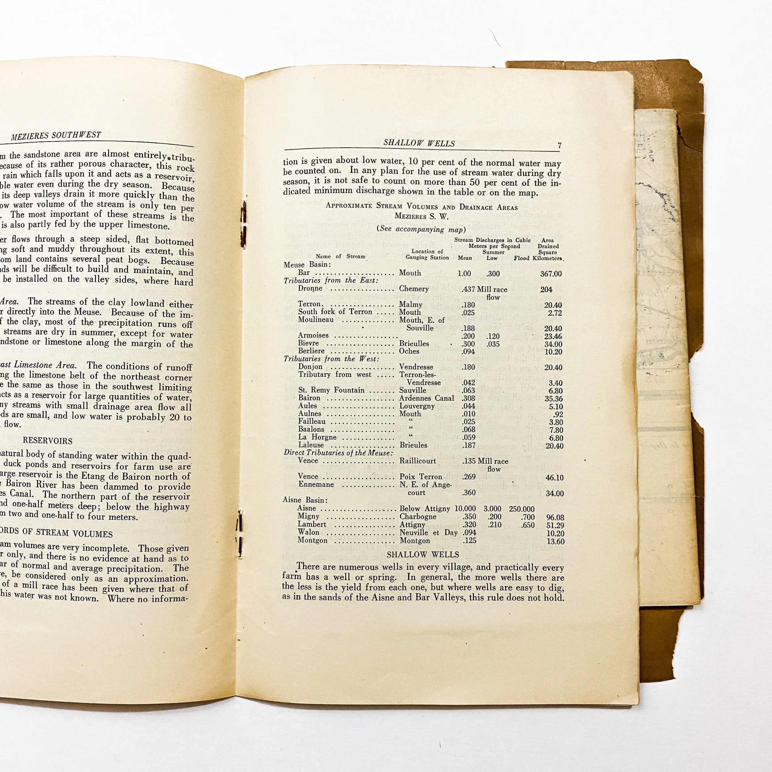
This water-supply map of the region held was used as a crucial tool for planning advances of troops on the front line. It told commanders and officers to which the abundance of water was in the region as well as its purity. Using as a unit 150,000 gallons a day for each 20 square miles, the legend of the map shows the number of springs, streams, reservoirs and pumping stations for each city. These maps were prepared for strategical and tactical purposes..
Most people do not know that a water supply service was provided in each French, British, and American army under the chief engineer of the army. It provides for the construction of reservoirs, the boring and digging of wells, pumping and the distribution of water by pipe lines, tanks, troughs, and water trucks. This department also provides the water cans used to carry water to the forward trenches and during advances. All combatant units also have water carts as a part of their regular equipment.