Meuse-Argonne Operation 3rd Army Daily Advance Map







Meuse-Argonne Operation 3rd Army Daily Advance Map
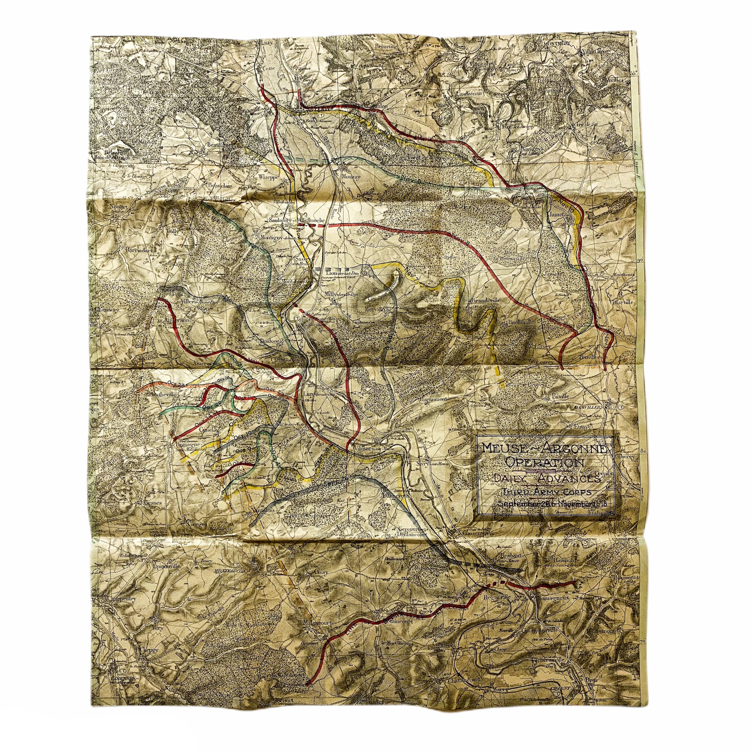
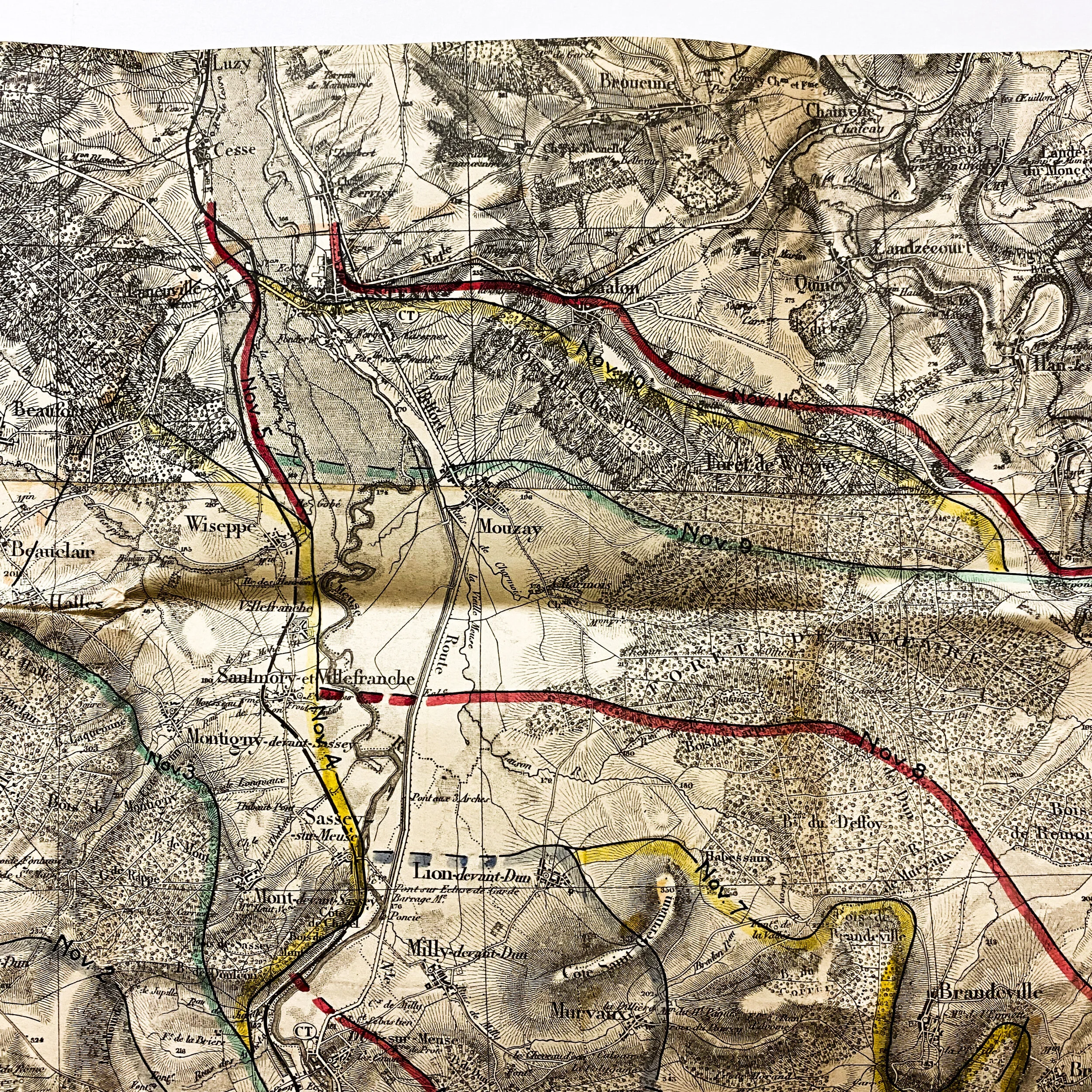
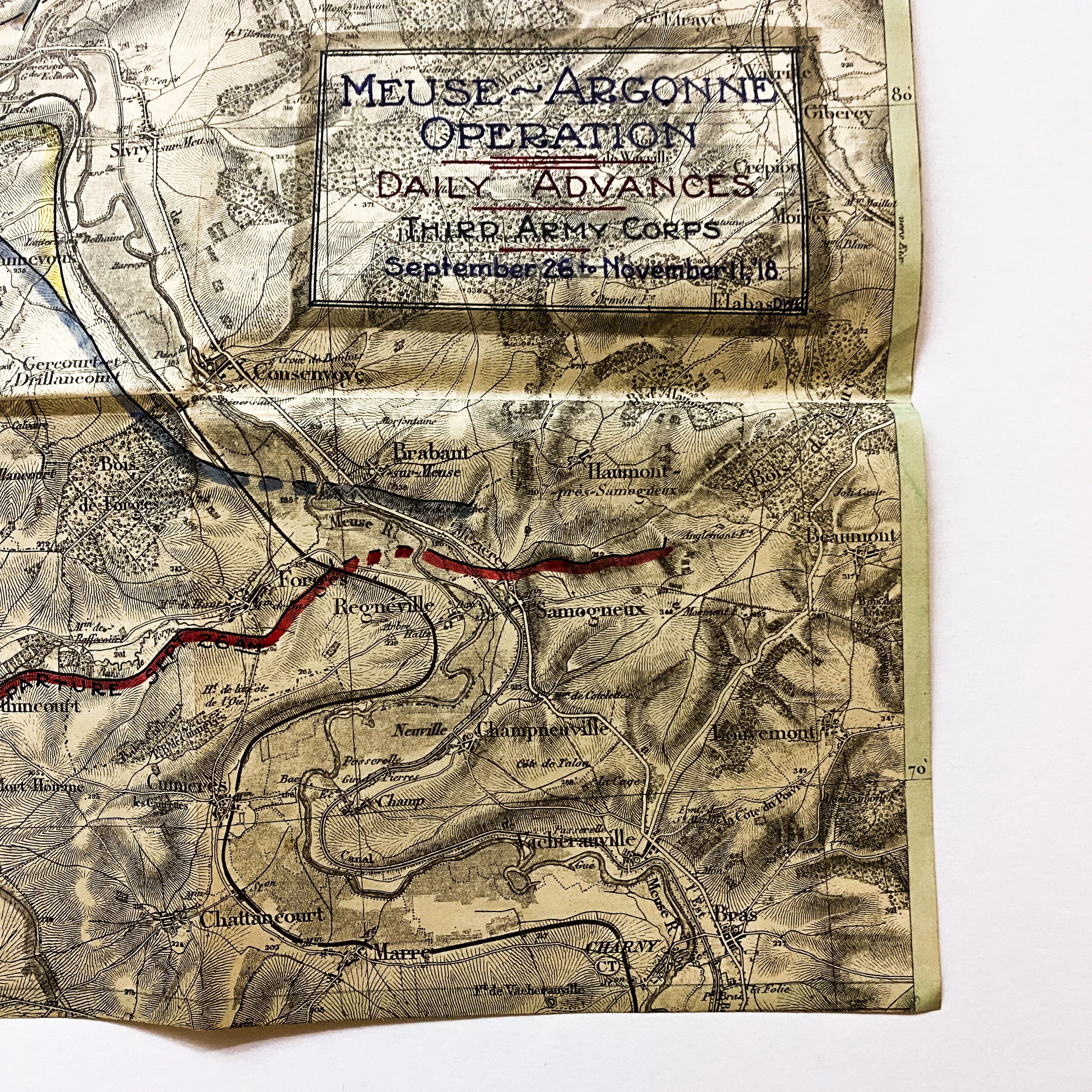
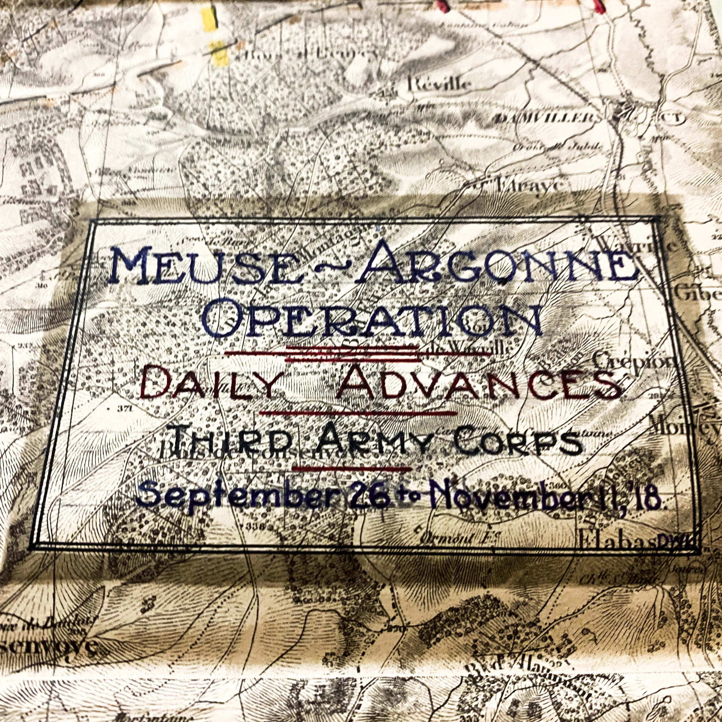
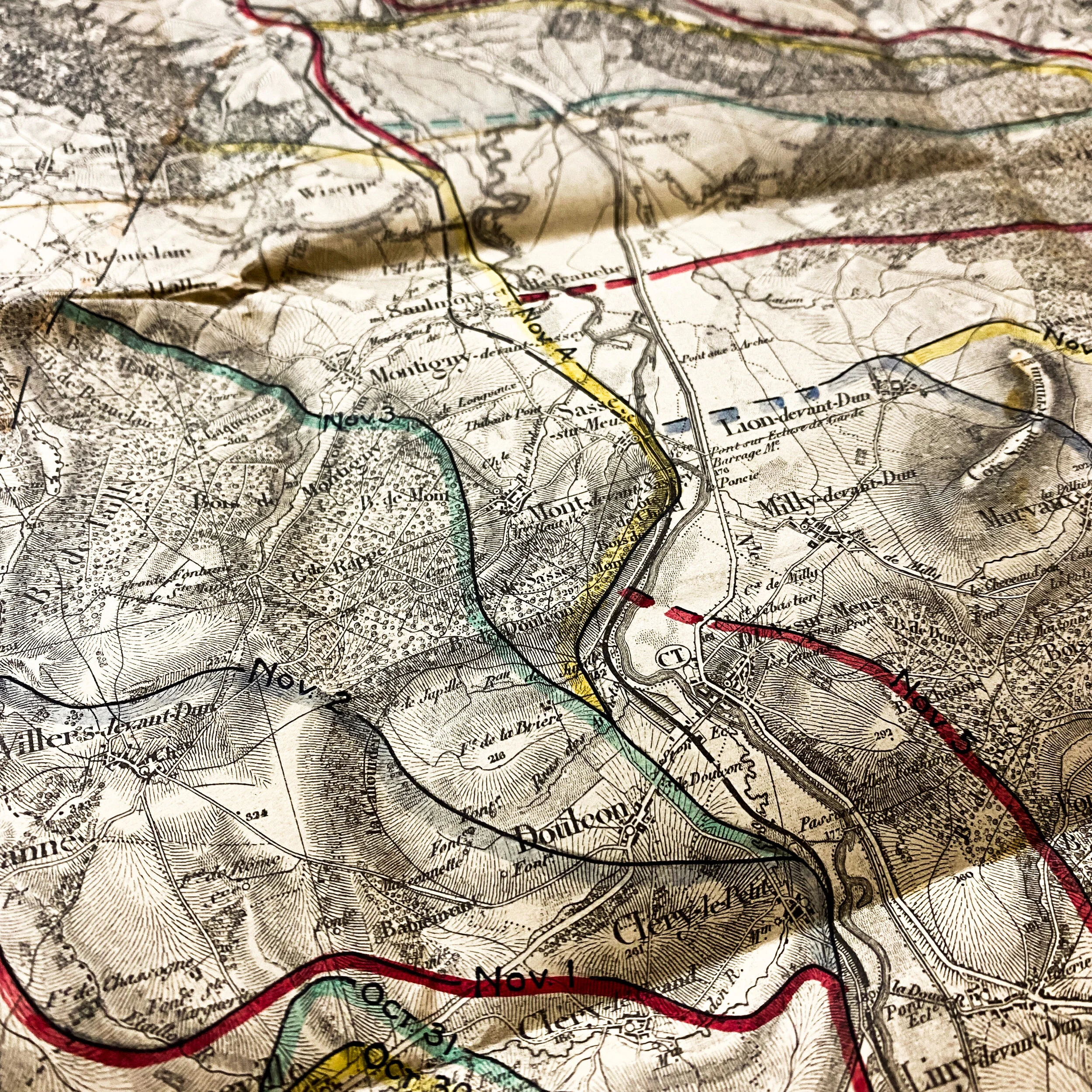
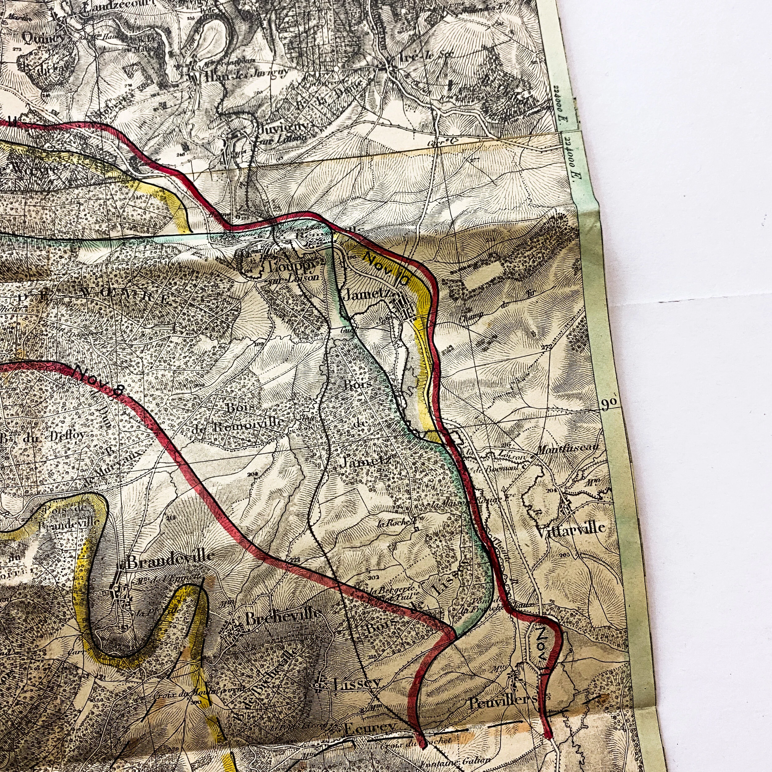
This original World War I map was printed at the base printing plant of the 29th engineers, US Army and is dated 1918. The map itself appears to have been cut from an overall larger map. The map illustrates in multi-colored lines the daily advances of not only the first, but also the second and last stages of the Argonne offensive. The map indicates the initial “Line of Departure on Sept. 26th) to the last line located towards the top right in red dated November 11th (the day of the Armistice).
Meuse–Argonne Offensive:
The Meuse–Argonne offensive (also known as the Meuse River–Argonne Forest offensive, the Battles of the Meuse–Argonne, and the Meuse–Argonne campaign) was a major part of the final Allied offensive of World War I that stretched along the entire Western Front. It was fought from September 26, 1918, until the Armistice of November 11, 1918, a total of 47 days. The Meuse–Argonne offensive was the largest in United States military history, involving 1.2 million American soldiers. It is the second deadliest battle in American history, resulting in over 350,000 casualties including 28,000 German lives, 26,277 American lives and an unknown number of French lives. U.S. losses were worsened by the inexperience of many of the troops, the tactics used during the early phases of the operation and the widespread onset of the global influenza outbreak called the "Spanish Flu".Meuse–Argonne was the principal engagement of the American Expeditionary Force (AEF) during World War I. It was one of a series of Allied attacks known as the Hundred Days Offensive, which brought the war to an end. It was the largest and bloodiest operation of World War I for the AEF even if, given the scale of other battles on the Western Front, its size was limited and the operation itself secondary as it was far from the main offensive axis.