EXTREMELY RARE! WWII "Mission 11-404" 1945 "RESTRICTED" 431st Bombardment Sq. XXI Bomber Command B-29 Superfortress Flight Navigation Map For Kyushu Raids (Target: Kagoshima Marshalling Yard)


EXTREMELY RARE! WWII "Mission 11-404" 1945 "RESTRICTED" 431st Bombardment Sq. XXI Bomber Command B-29 Superfortress Flight Navigation Map For Kyushu Raids (Target: Kagoshima Marshalling Yard)
Comes with a hand-signed C.O.A. and a full historical write-up research document
From: World War II - Pacific Theater
Unit: XXI Bomber Command - 431st Bombardment Squadron - Twentieth Air Force
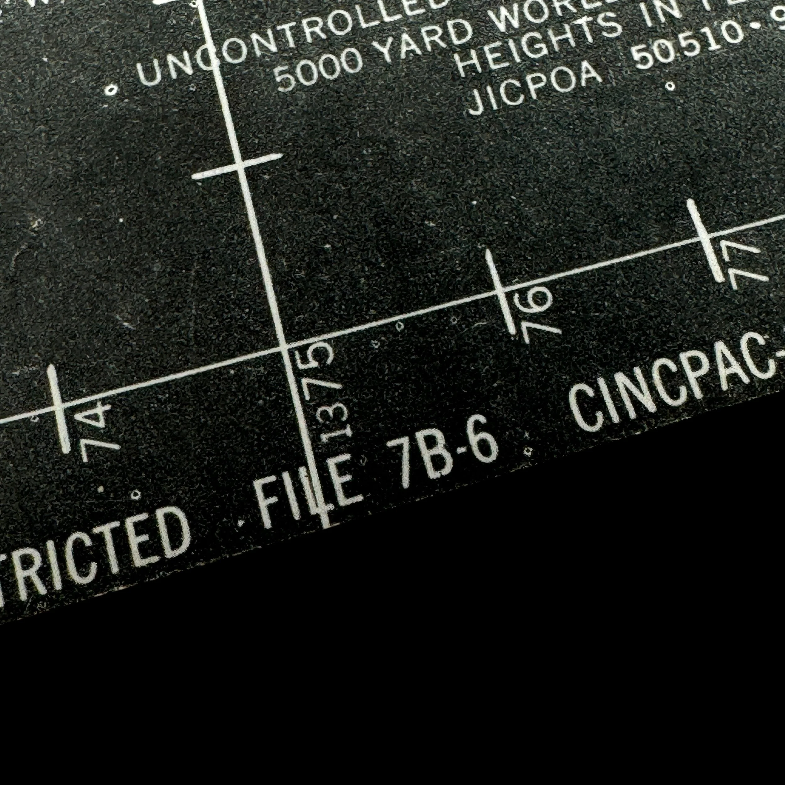
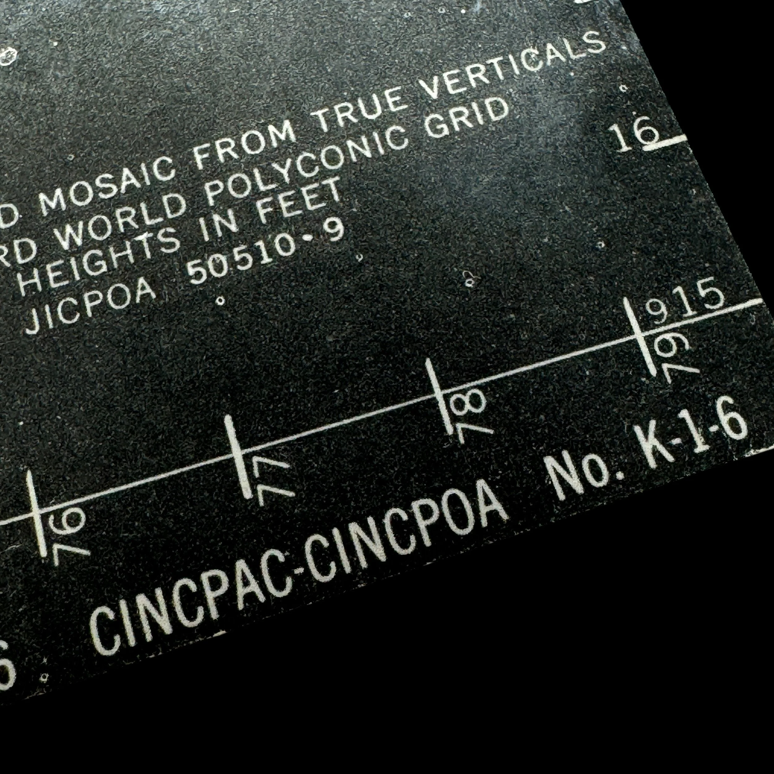
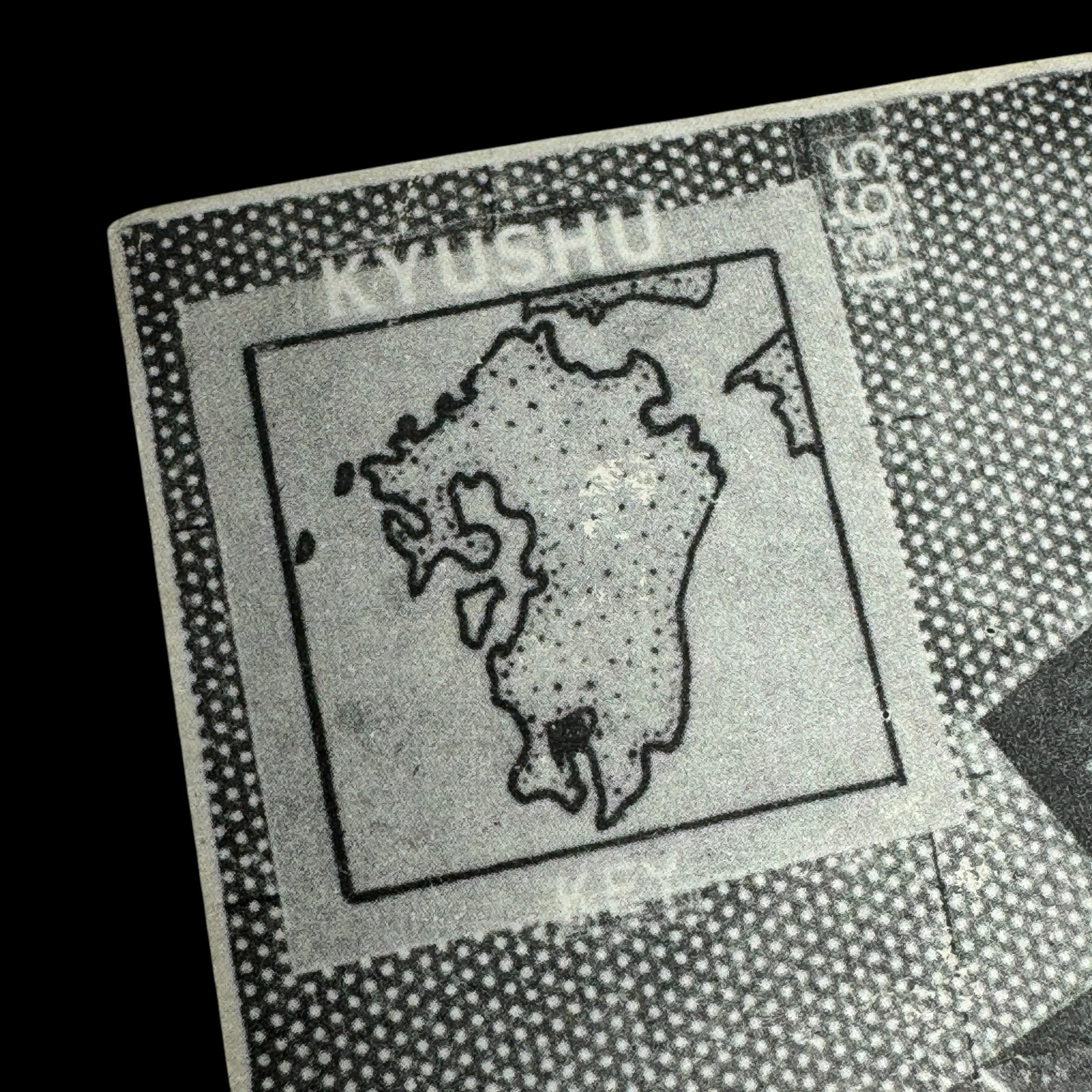
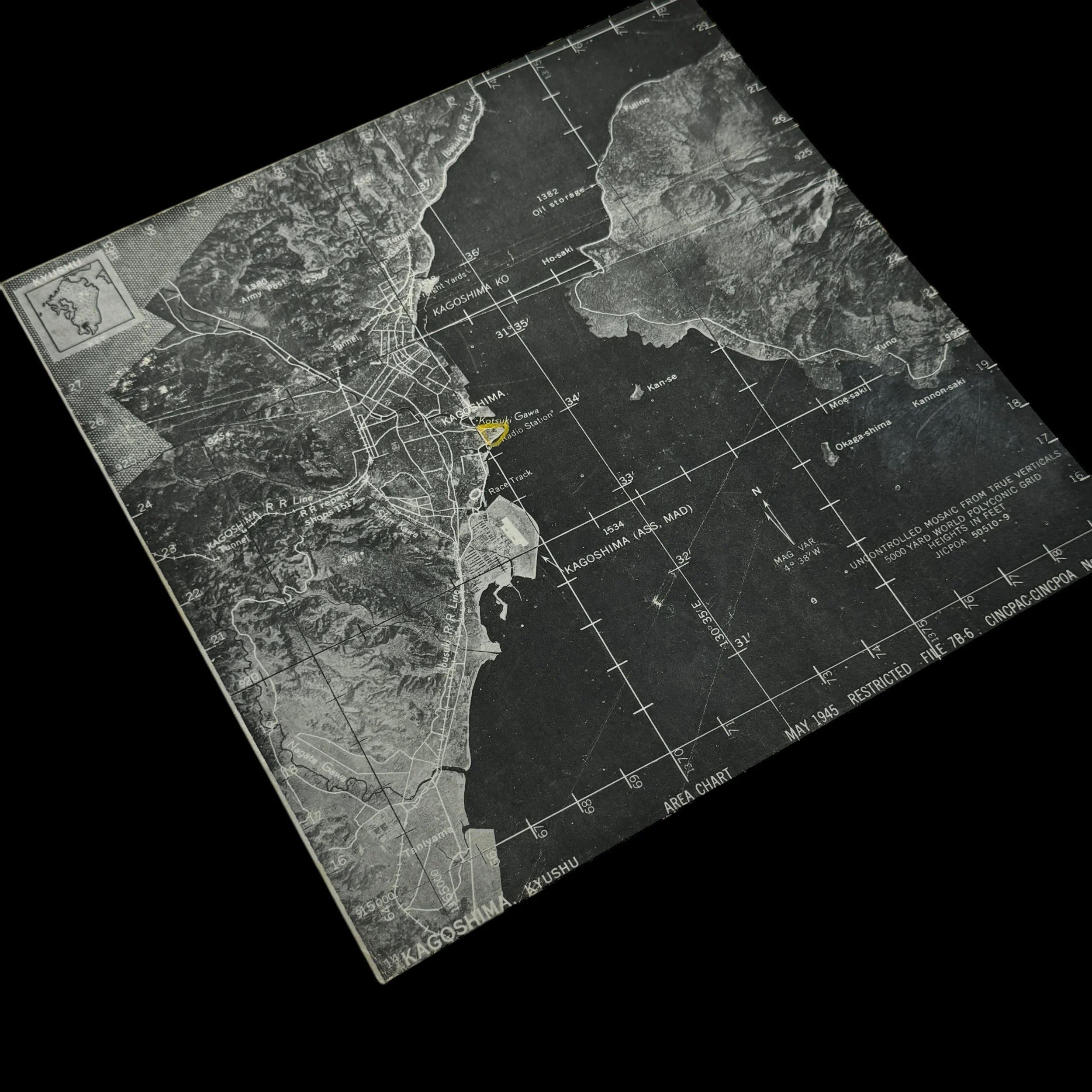
Type: “RESTRICTED” Marked Compact Aerial Flight Navigation Map Used by XXI Bomber Command’s 431st Bombardment Squadron B-29 Superfortress During Strategic Bombing Operations On Kyushu, Japan
Size: 8 × 8 inches
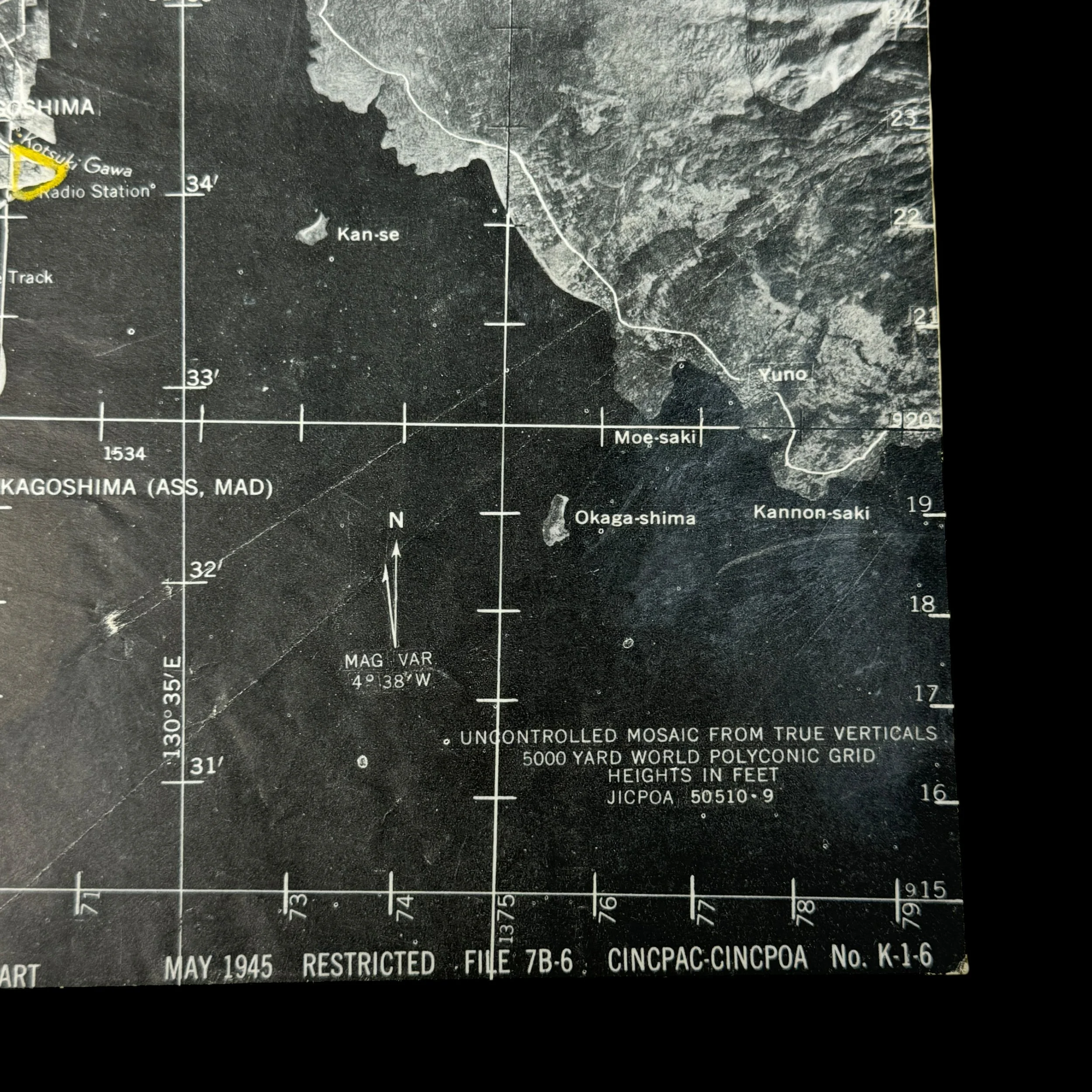
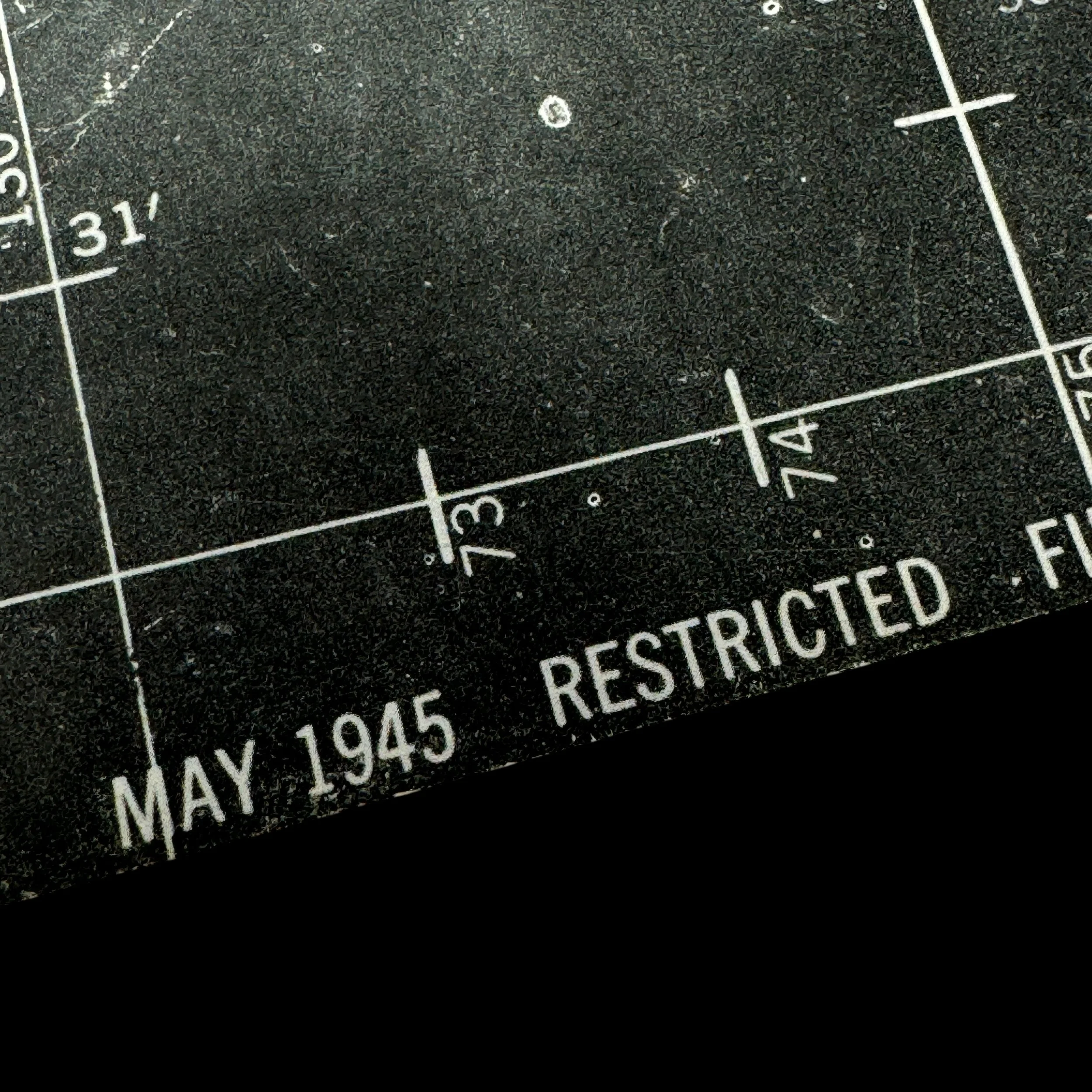
Dated: May 1945
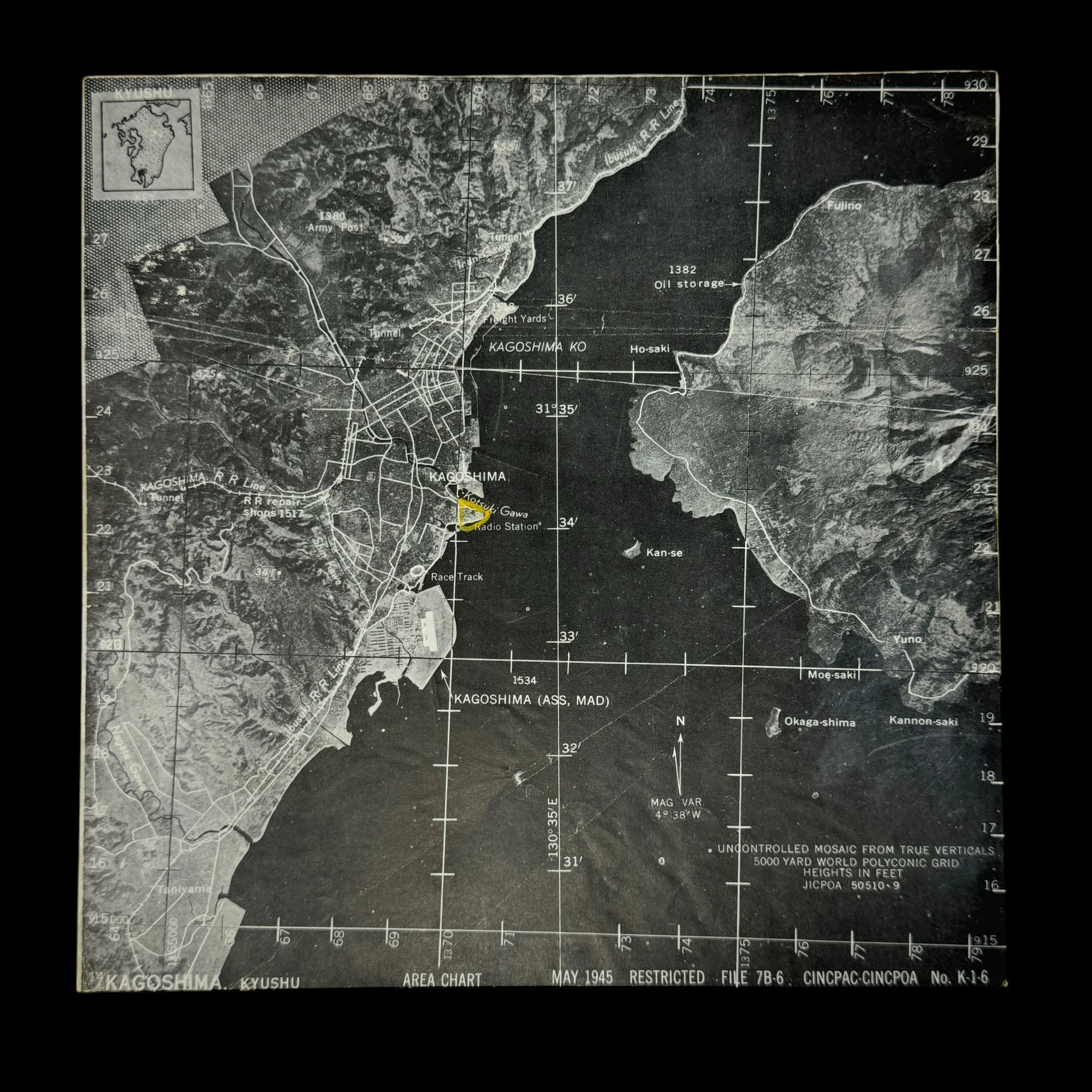
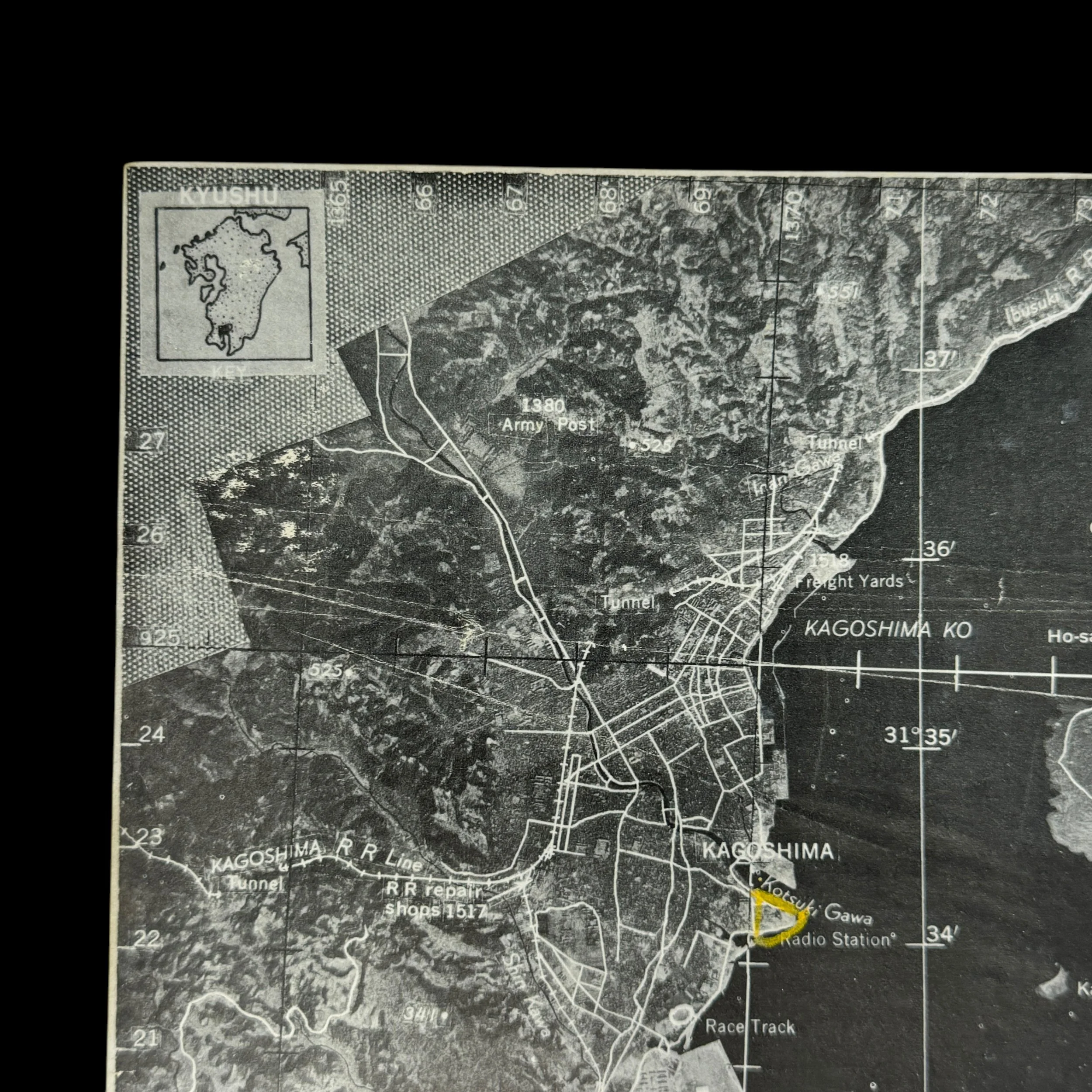
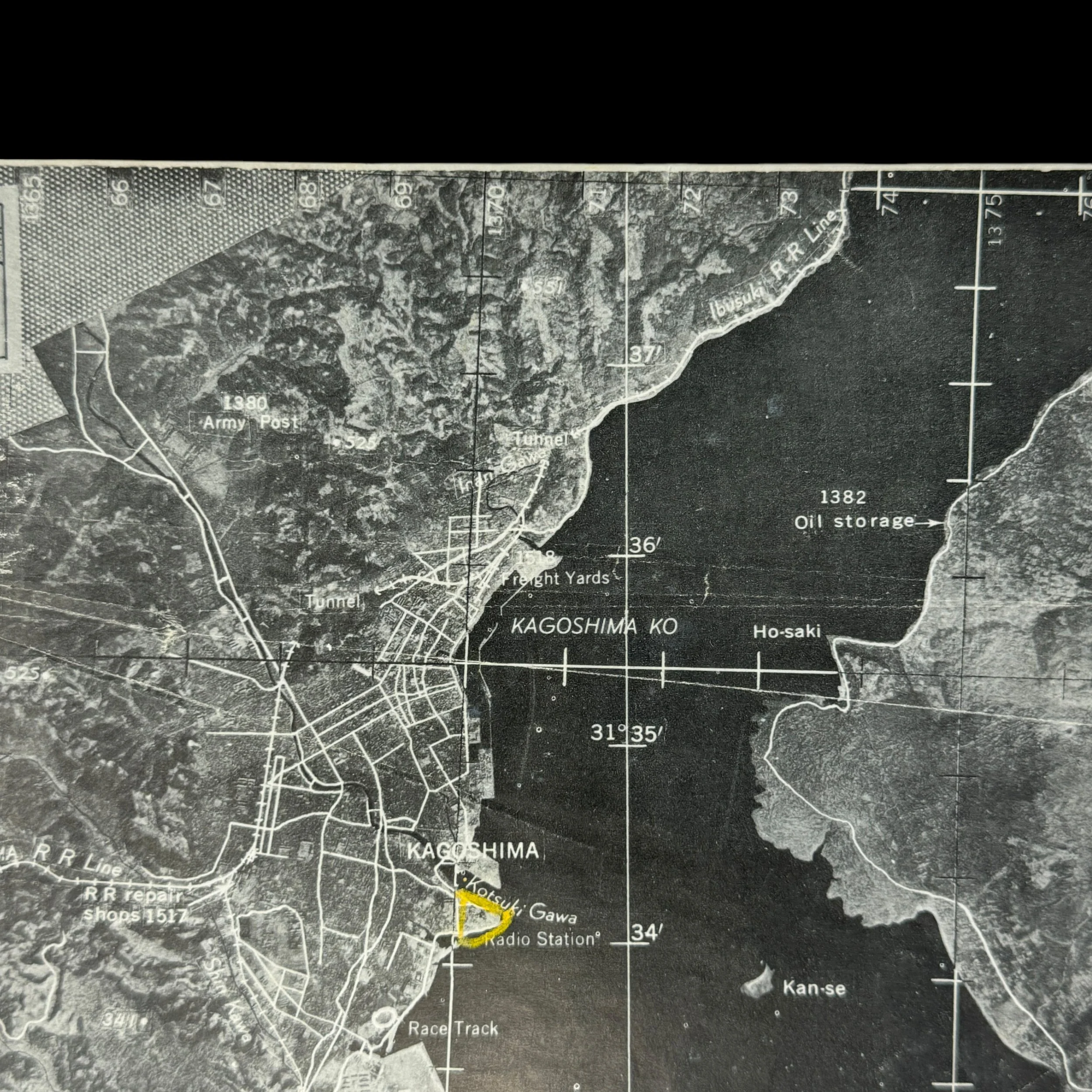
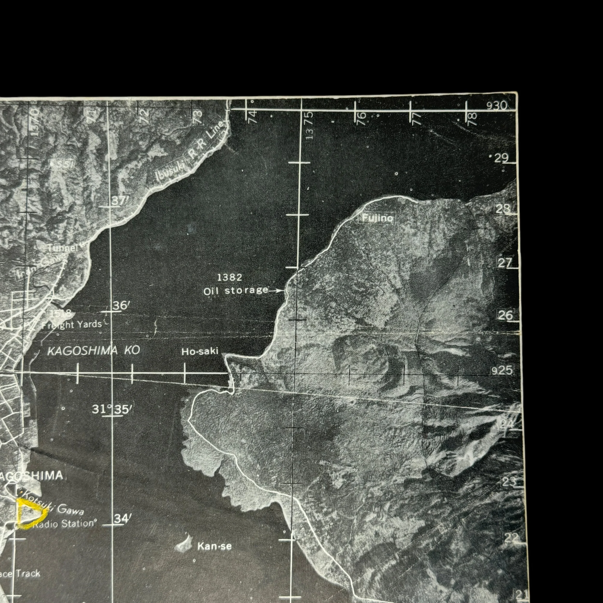
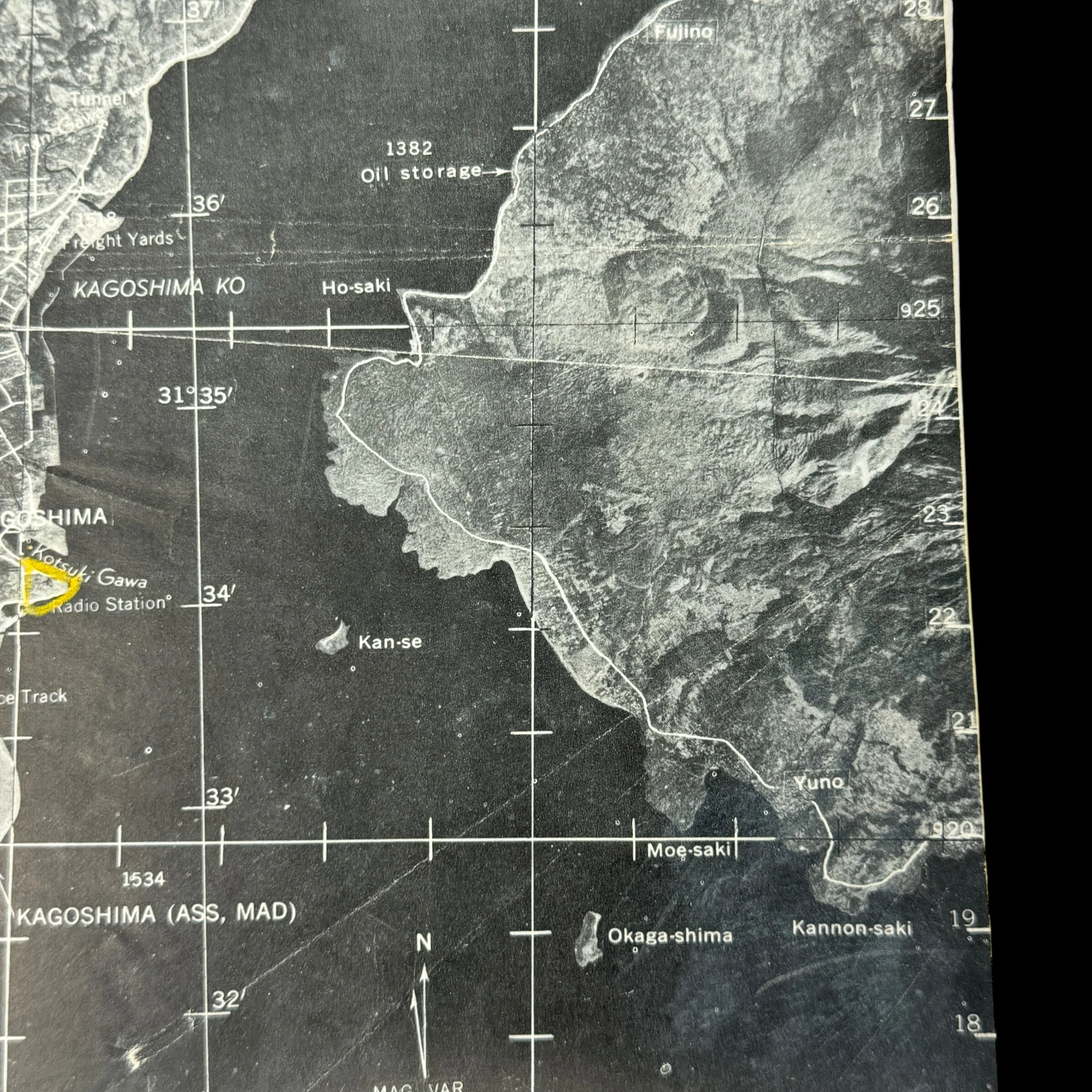
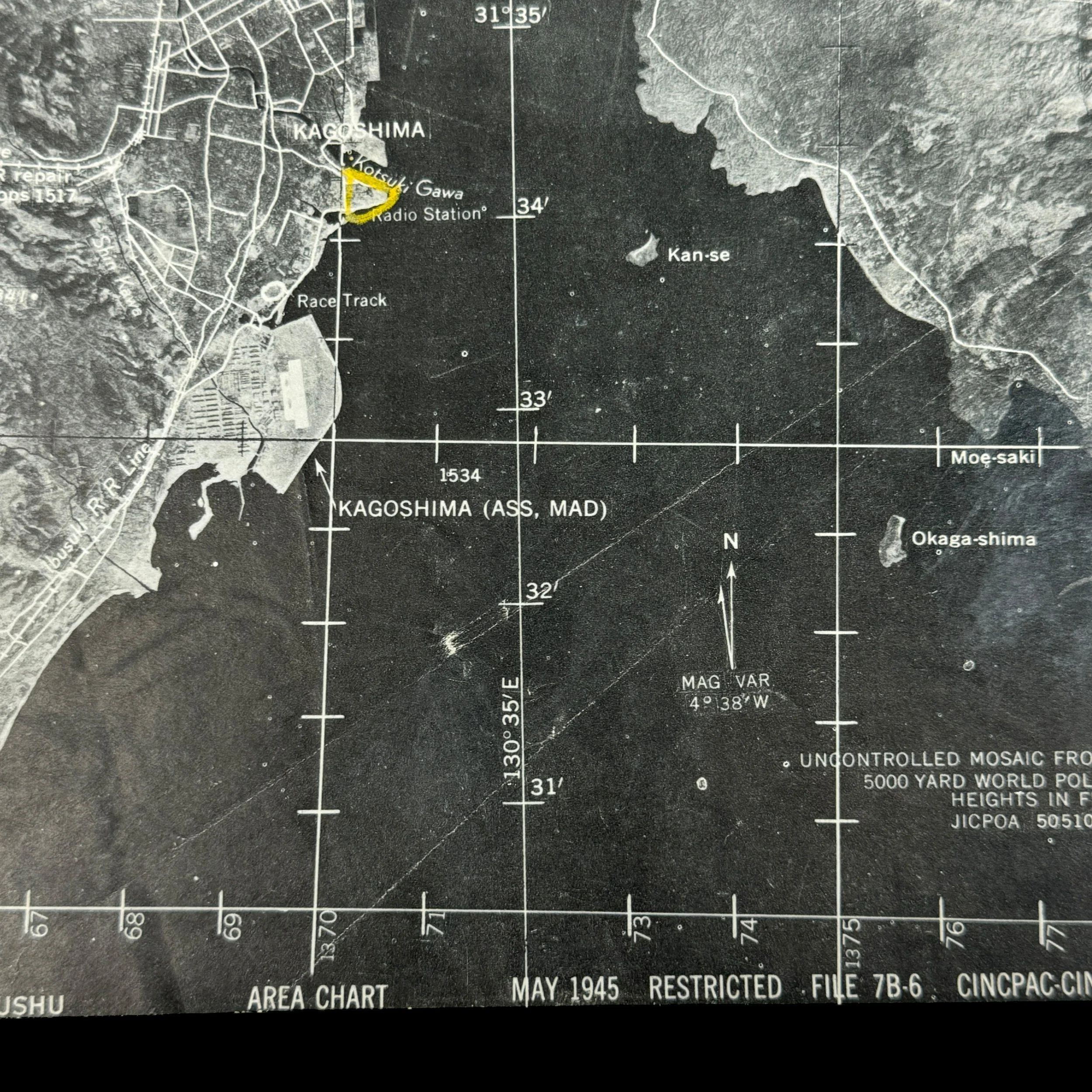
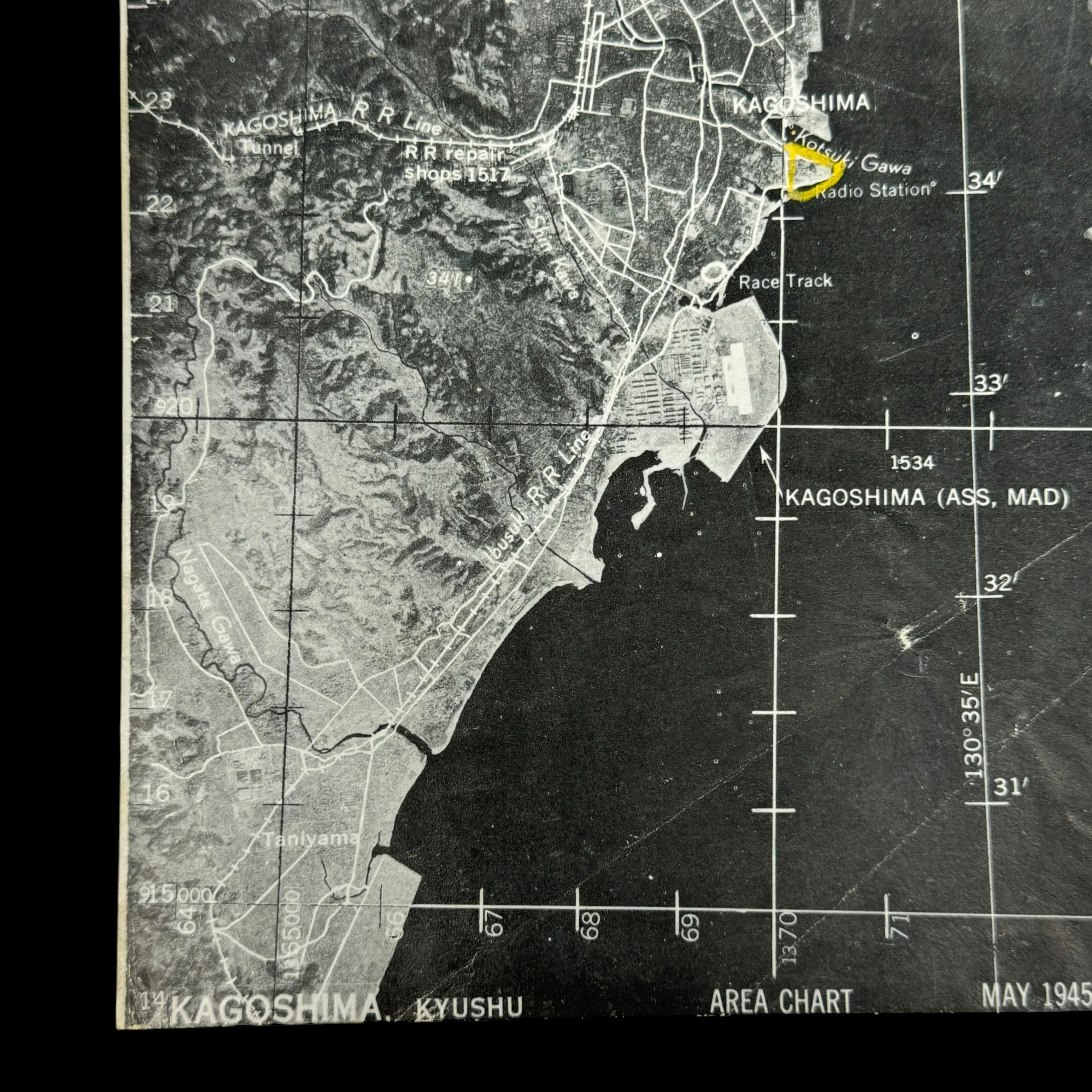
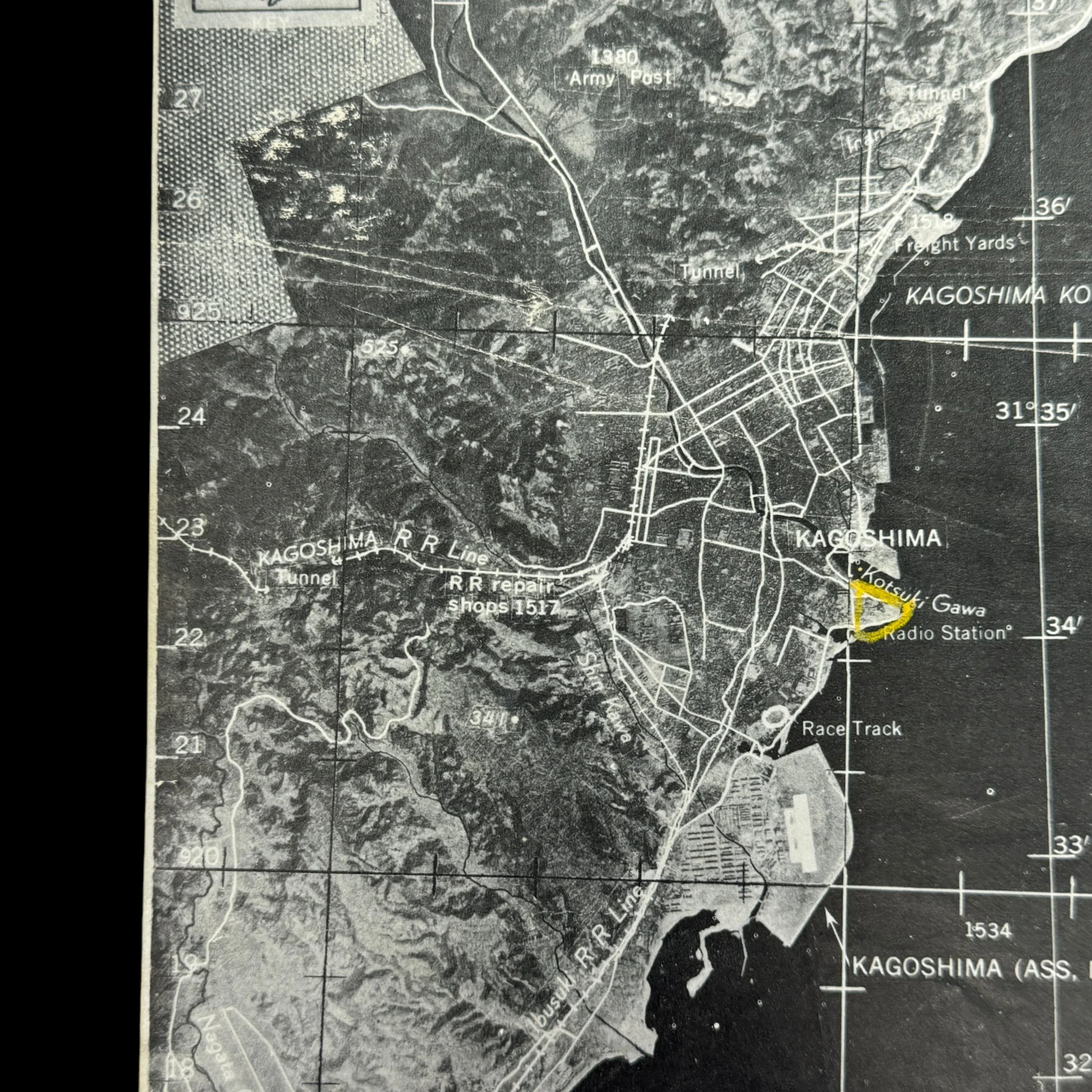
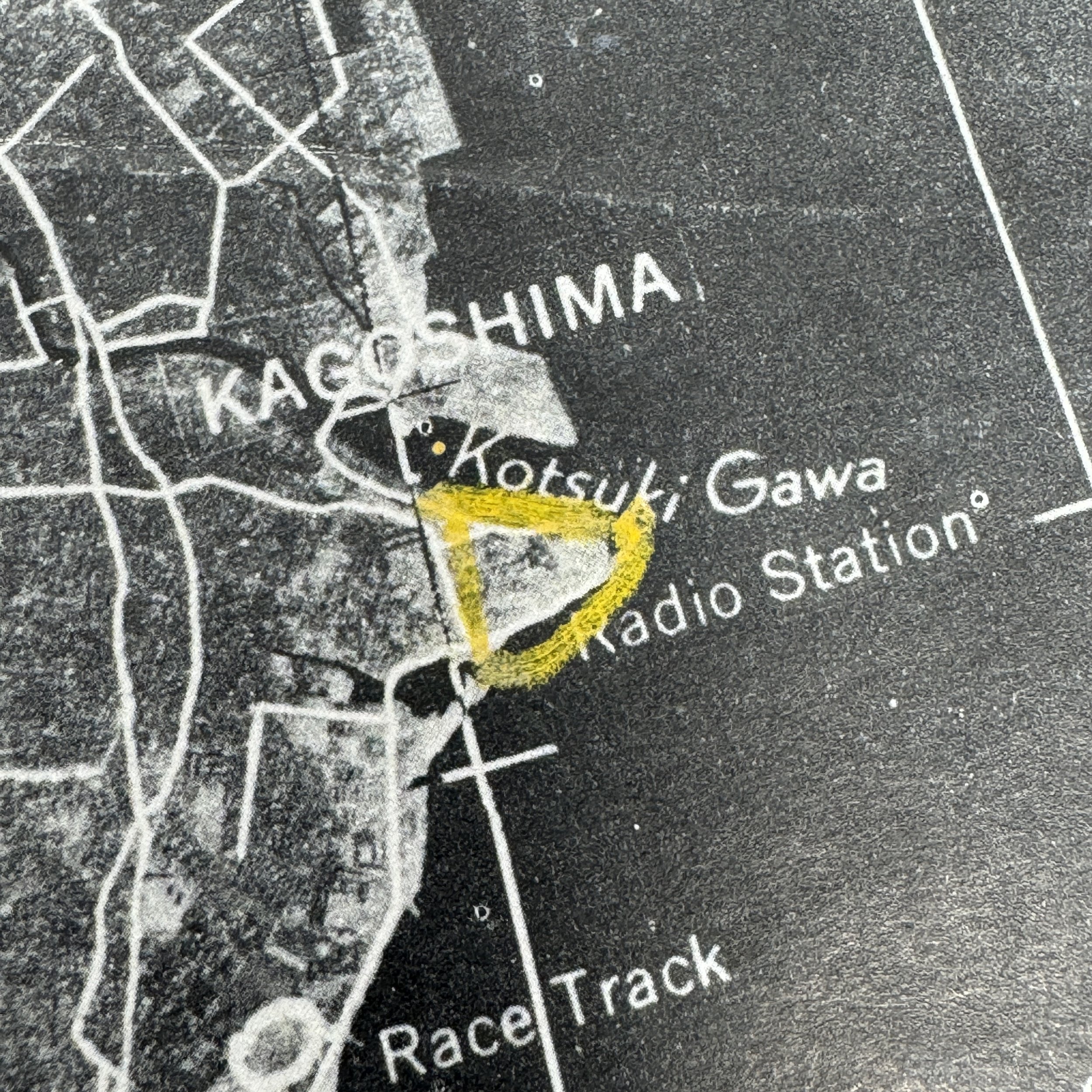
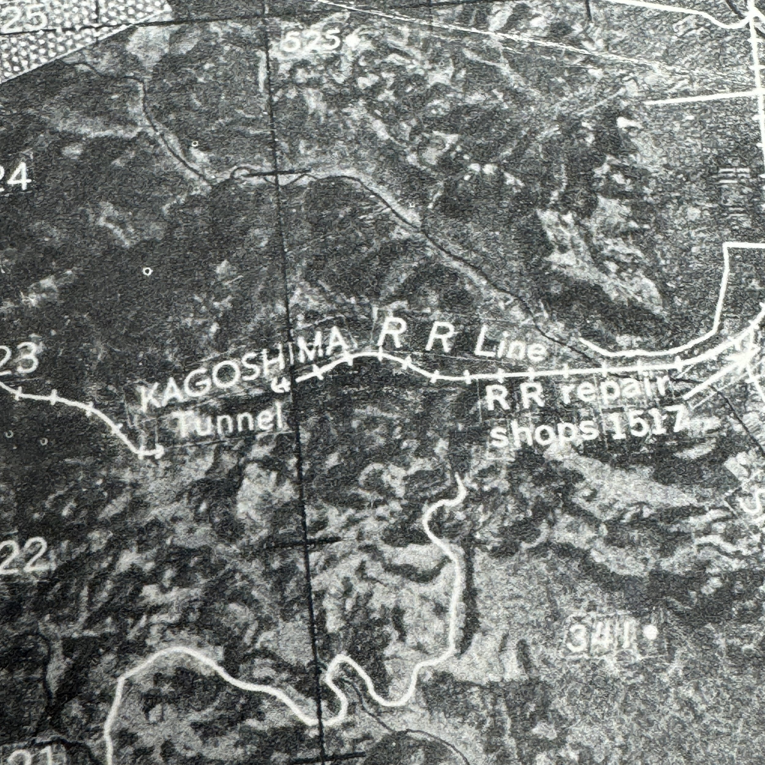
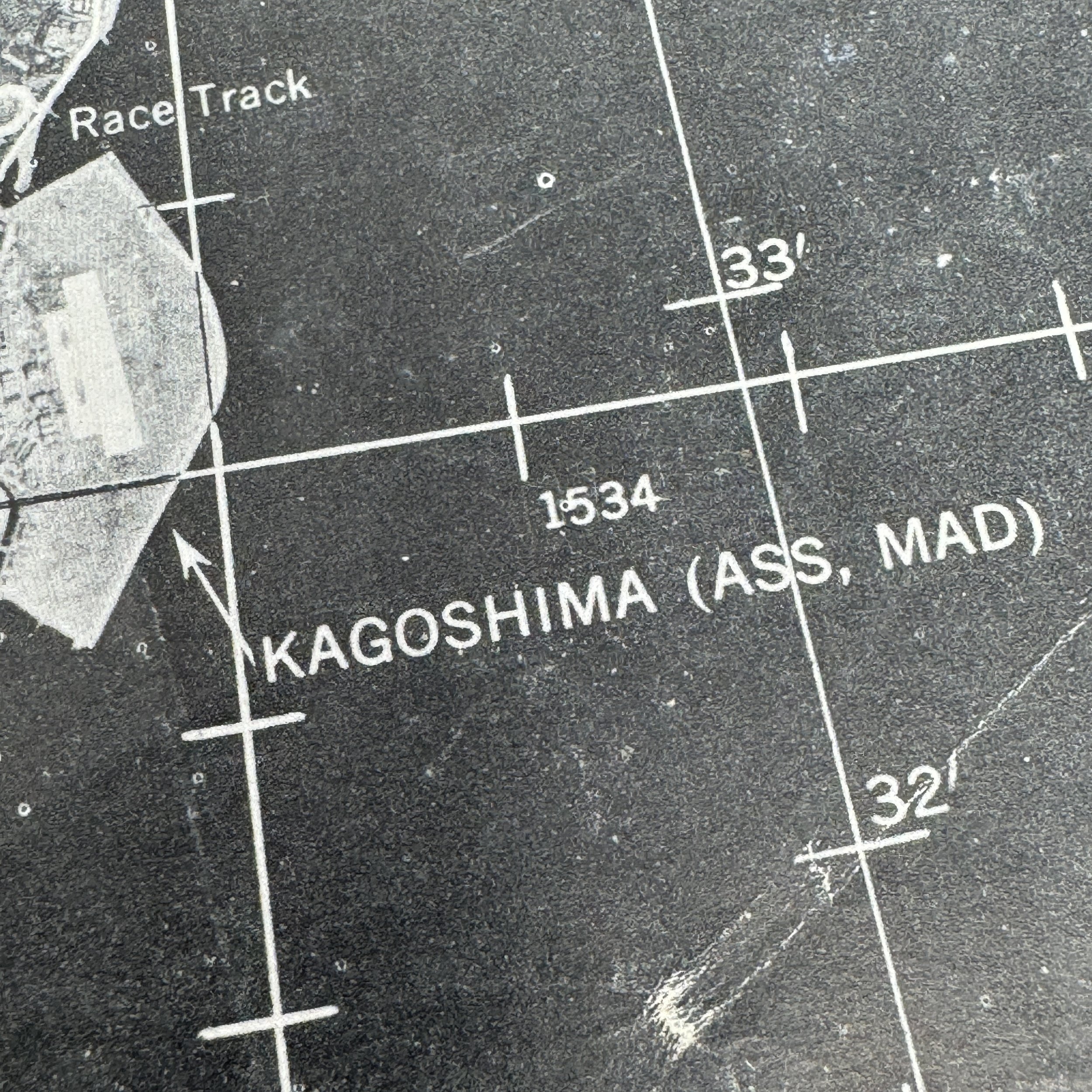
Target: Kagoshima Marshalling Yard - Kyushu, Japan
The Kagoshima Marshalling Yard, located in southern Kyushu near a vital port, served as a critical logistics hub for Japan during the final phase of World War II, directing the movement of troops and supplies to southern defenses, including airfields and the Ryukyu front. As part of the Twentieth Air Force’s broader effort to cripple Japan’s transportation and military infrastructure ahead of Operation Downfall, the yard became a priority target for XXI Bomber Command B-29 Superfortress raids launched from the Mariana Islands in mid-1945. These precision strikes in July and August aimed to destroy rail lines, fuel depots, and switching stations, paralyzing the flow of military materiel and reinforcements. Using aerial reconnaissance from F-13 variants, mission planners mapped and executed targeted bombings that severely disrupted Japan’s southern logistics network, contributing to the broader Allied goal of isolating Kyushu and neutralizing Japan’s capacity for coordinated defense.
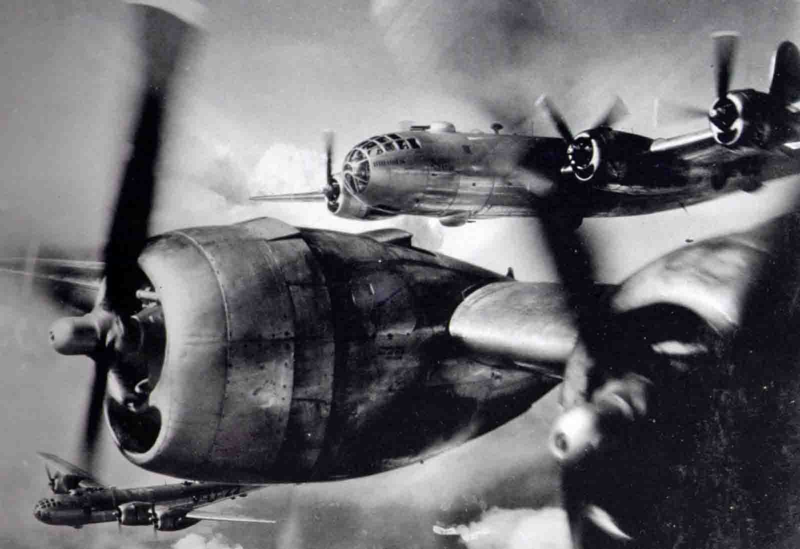
This extremely rare and museum-grade World War II artifact is an original XXI Bomber Command flight navigation map used by B-29 Superfortress crews of the 431st Bombardment Squadron during strategic bombing operations over Kyushu in mid to late 1945. Dated May 1945 and marked “RESTRICTED,” this map was a mission-critical document carried aboard B-29 Superfortresses launched from bases in the Mariana Islands—primarily Saipan and Tinian—as part of the Twentieth Air Force’s intensifying air campaign against the Japanese home islands. Unlike aerial reconnaissance photographs, which provided visual intelligence, these detailed flight maps were indispensable navigational tools that enabled aircrews to plan and execute complex bombing runs over targets in Kyushu, Japan.
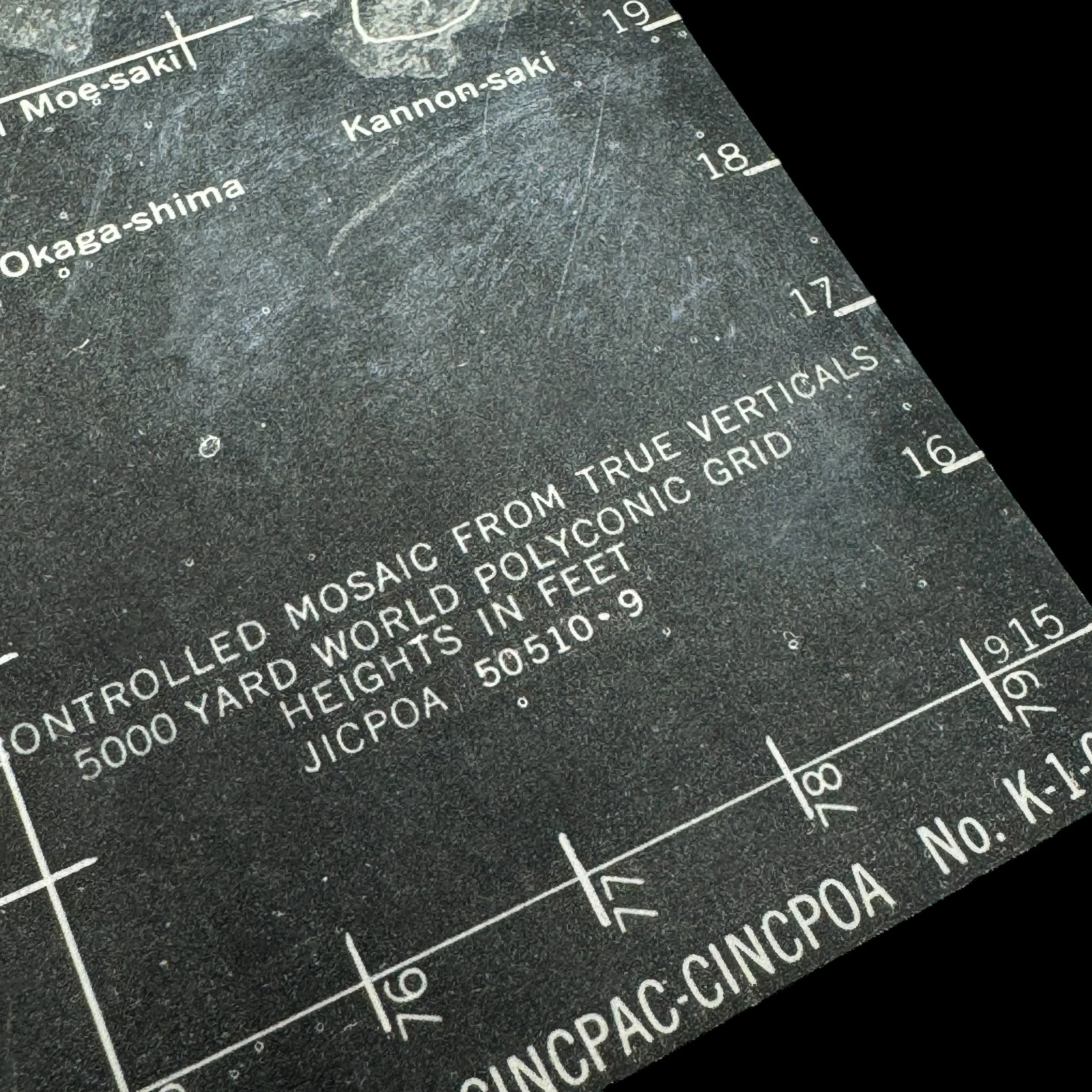
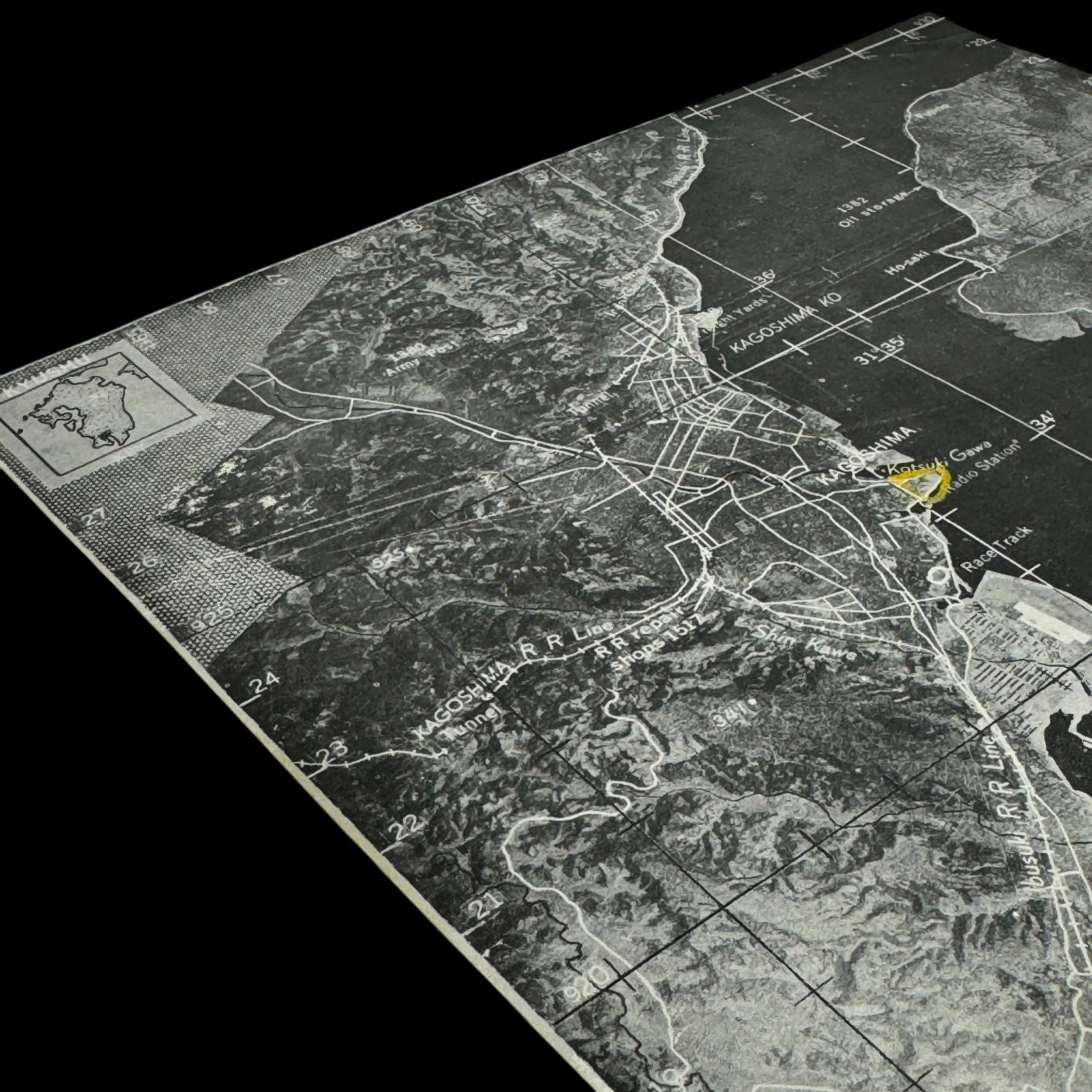
Each map was carefully annotated to include topographical features, enemy airfield positions, anti-aircraft artillery zones, flak concentrations, emergency landing fields, magnetic headings, and precise target coordinates. For missions such as those targeting the Kagoshima Marshalling Yard and the dense network of airfields along Kyushu’s eastern and southern coastlines—including Kanoya, Miyakonojo, Oita, and Tachiarai—such maps were essential. These locations were key nodes in Japan’s aerial defense and kamikaze operations, and their proximity to Allied naval staging areas around Okinawa made them top priorities for destruction.
Flight navigation maps were typically first used in the mission planning rooms by navigators and bombardiers during extensive pre-flight briefings. Crews studied these charts to internalize their bombing route, identify terrain features that could aid visual confirmation, and plan contingency paths should cloud cover, mechanical issues, or enemy fire alter the original plan. Once in the air, these maps were actively referenced by navigators using celestial and dead reckoning techniques, as well as radio beacons when available. The maps allowed for mid-flight corrections to maintain course accuracy, especially critical when approaching targets concealed by mountainous terrain or cloud layers.
In the specific context of the Kyushu airfield suppression campaign, these flight maps supported one of the most strategically significant operations of the Pacific Theater in 1945. The suppression of airfields was designed to eliminate the kamikaze threat in advance of the planned Allied landings on the Japanese home islands, which would have seen Kyushu become the first invasion point under Operation Olympic, the opening phase of Operation Downfall. Airfields in southern Kyushu were home to hundreds of Japanese fighters, bombers, and suicide aircraft, and were often cleverly camouflaged or dispersed across valleys, coastal ridges, and forested terrain to evade detection. The navigation map provided the only consistent tool for guiding bombing missions through these areas under variable weather conditions, often without visual confirmation.
Unlike aerial photographs, which were subject to the limitations of interpretation and timing, flight maps represented a synthesis of reconnaissance data, radio intelligence, and cartographic precision. They were updated regularly as new intelligence became available and often bore hand-drawn corrections from prior missions—reflecting enemy movements, changed defenses, or damaged targets. Crews of the 431st Bombardment Squadron would use these updated maps to ensure maximum bombing effectiveness while avoiding known flak concentrations and minimizing risk to airmen and aircraft.