VERY RARE! WWII Original WWII TYPE 1 May 6, 1944 D-Day Normandy Aerial Recon Photograph Taken by Lt. Albert Lanker, 31st Photo Reconnaissance Squadron Top Secret BIGOT Operation Overlord Intelligence
VERY RARE! WWII Original WWII TYPE 1 May 6, 1944 D-Day Normandy Aerial Recon Photograph Taken by Lt. Albert Lanker, 31st Photo Reconnaissance Squadron Top Secret BIGOT Operation Overlord Intelligence
Comes with a hand-signed C.O.A.
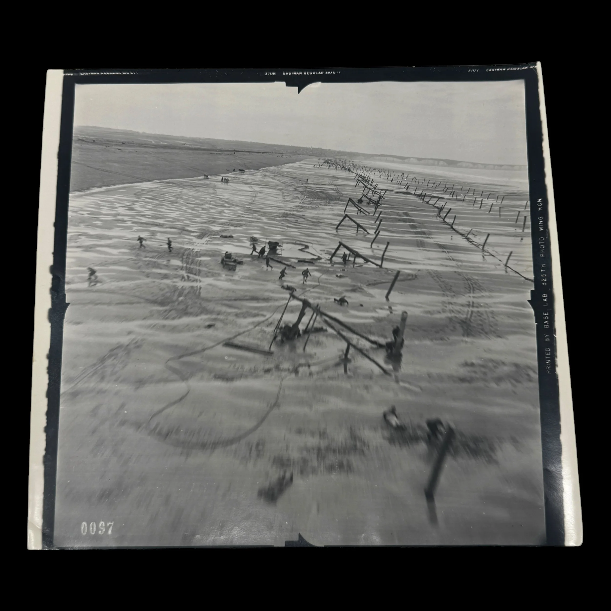
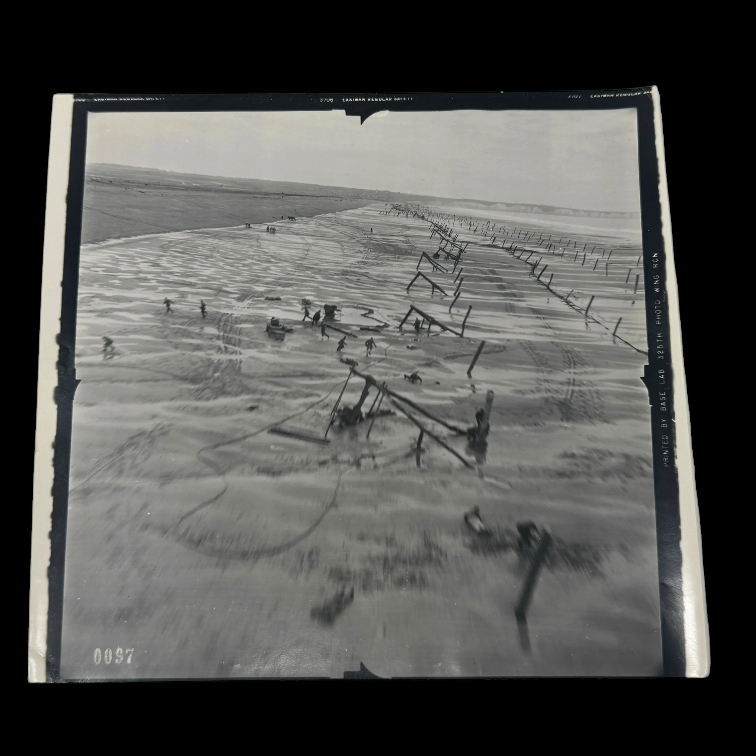
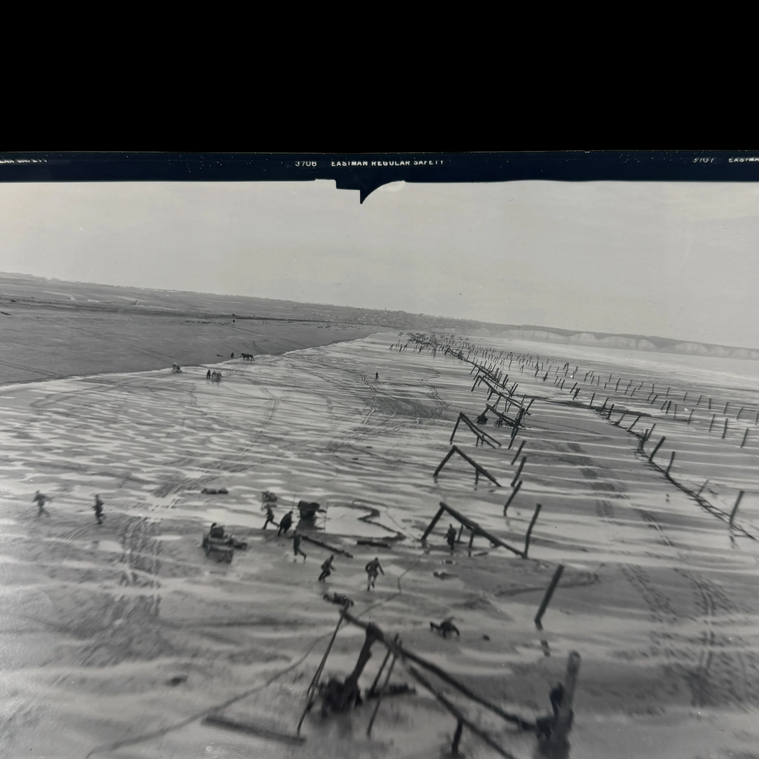
VERY RARE! Original WWII TYPE 1 May 6, 1944 D-Day Aerial Reconnaissance Photograph Taken by Lt. Albert Lanker, 31st Photo Reconnaissance Squadron - Top Secret BIGOT Operation Overlord Intelligence. A fellow squadron member later attributed the unit's Presidential Unit Citation to the importance of this exact photograph, writing, “Won our presidential citation by this picture.”
Pilot: Lieutenant Albert Lanker, United States Army Air Forces (USAAF), 31st Photographic Reconnaissance Squadron.
Aircraft: Lockheed F-5 Lightning, an unarmed photographic reconnaissance variant of the P-38 Lightning, nicknamed “Outlaw.”
Mission Date & Location: May 6, 1944, exactly one month before D-Day, over the German occupied Normandy coastline, France.
Combat Reconnaissance: Dangerous, extremely low altitude “dicing” mission. Reportedly fired upon by a German soldier before clearing a coastal cliff by approximately six feet.
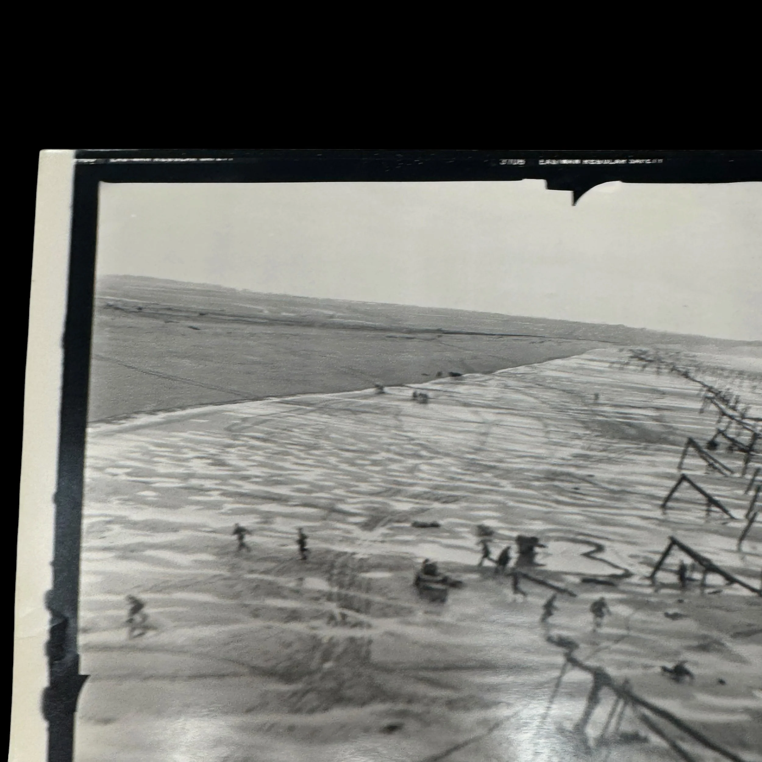
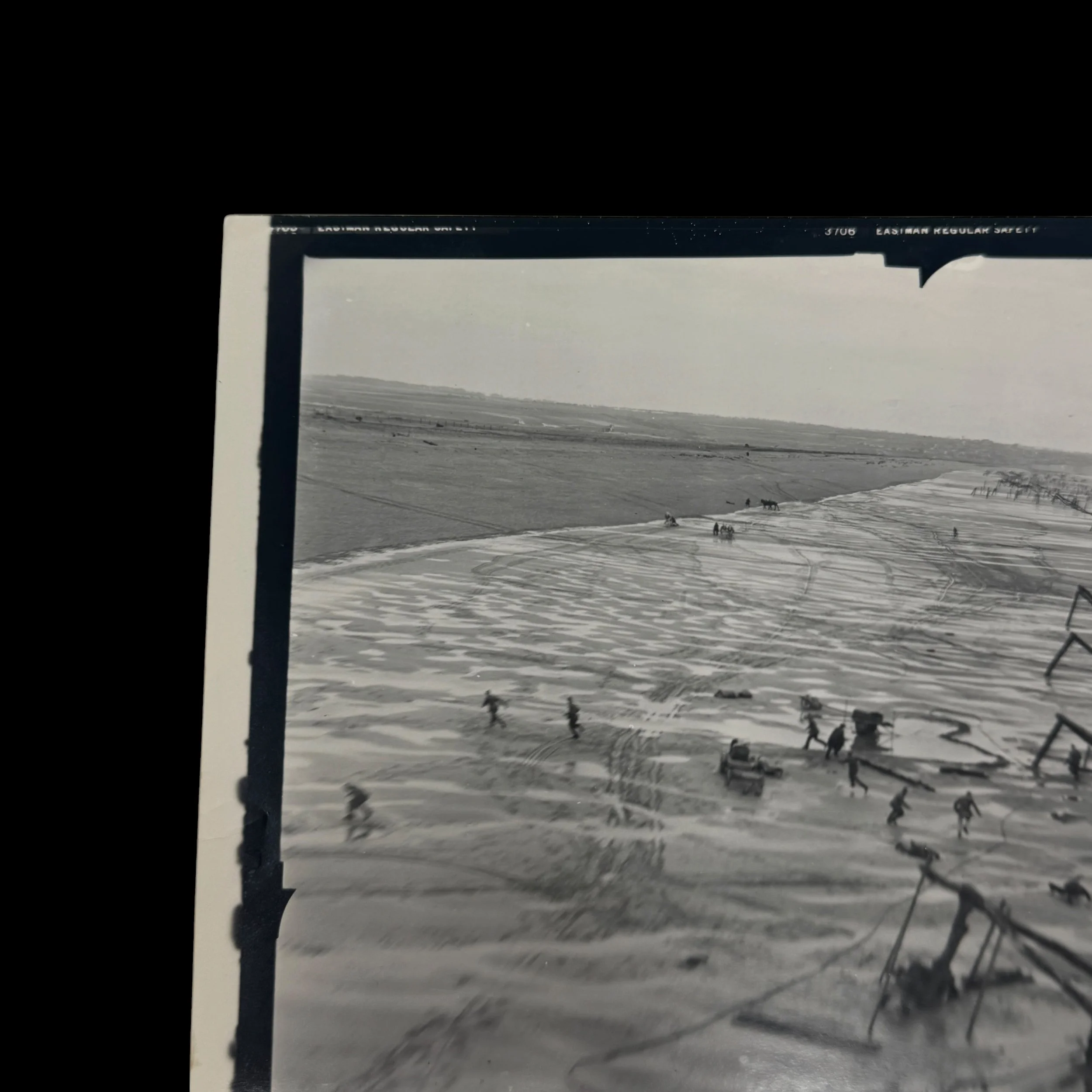
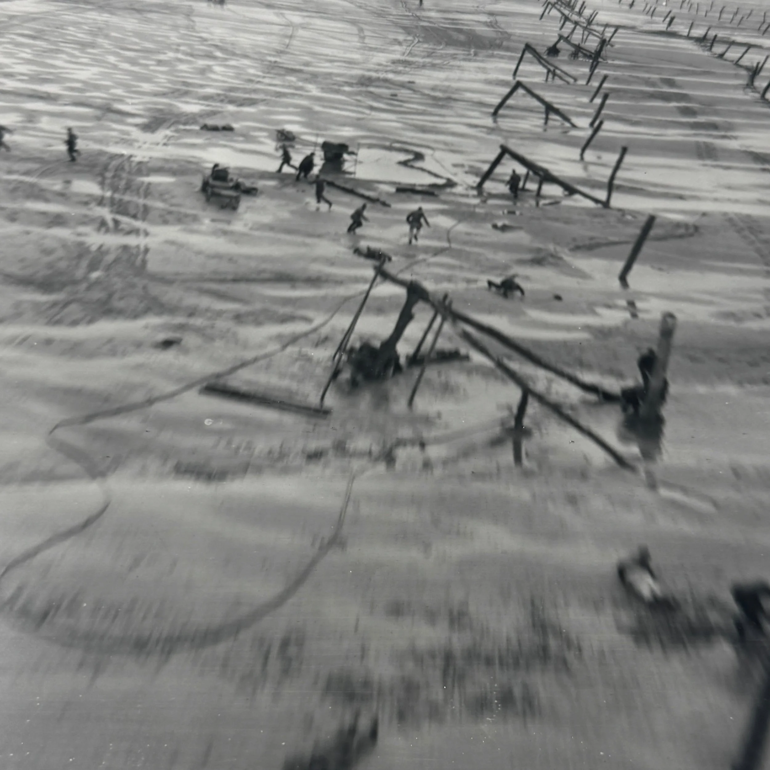
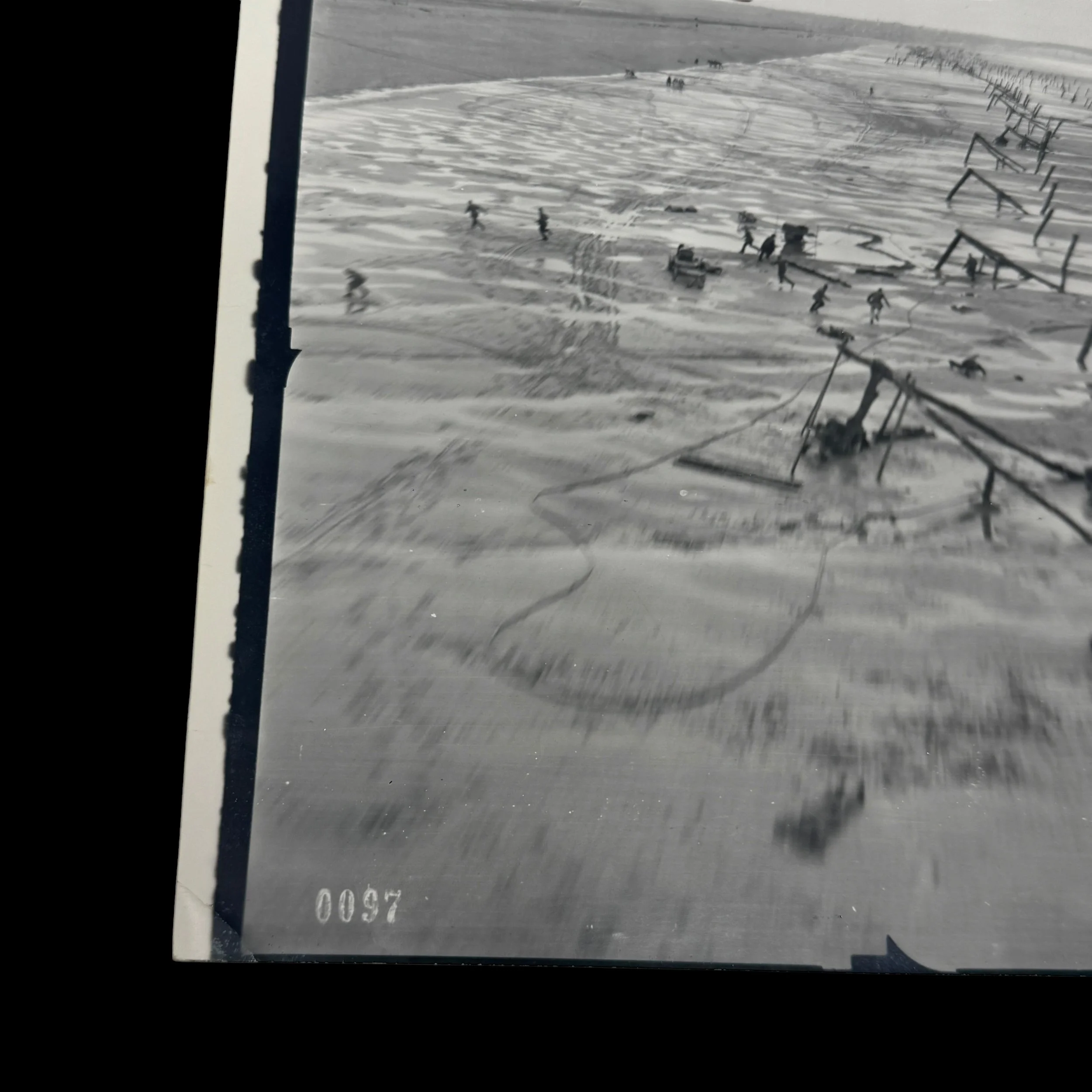
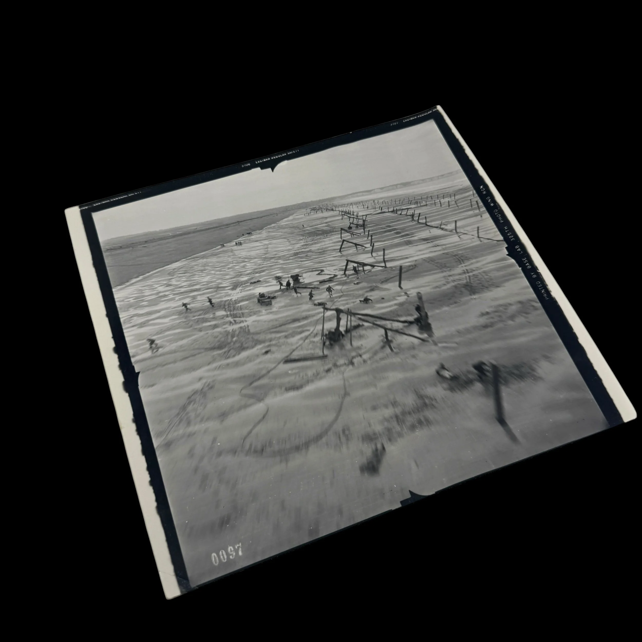
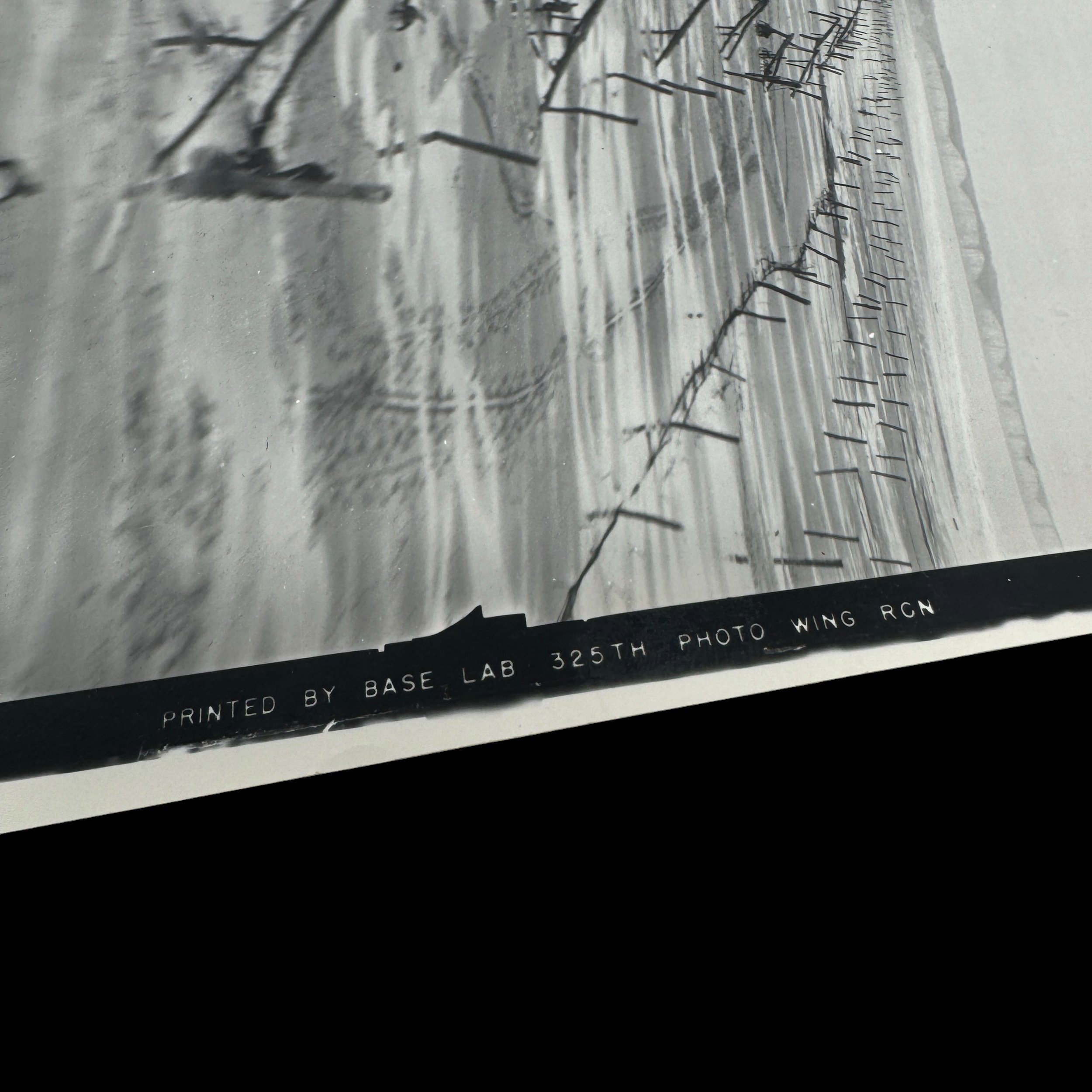
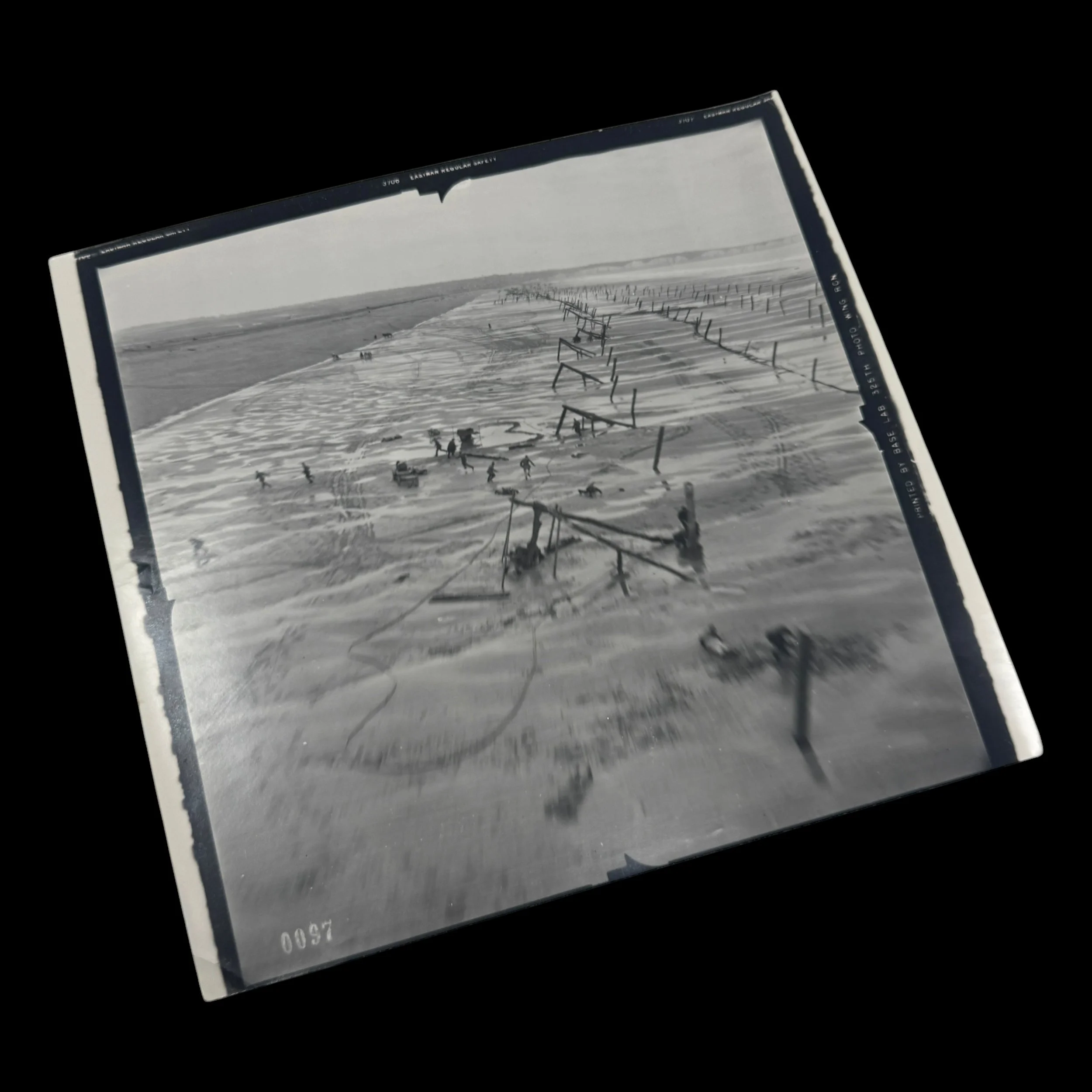
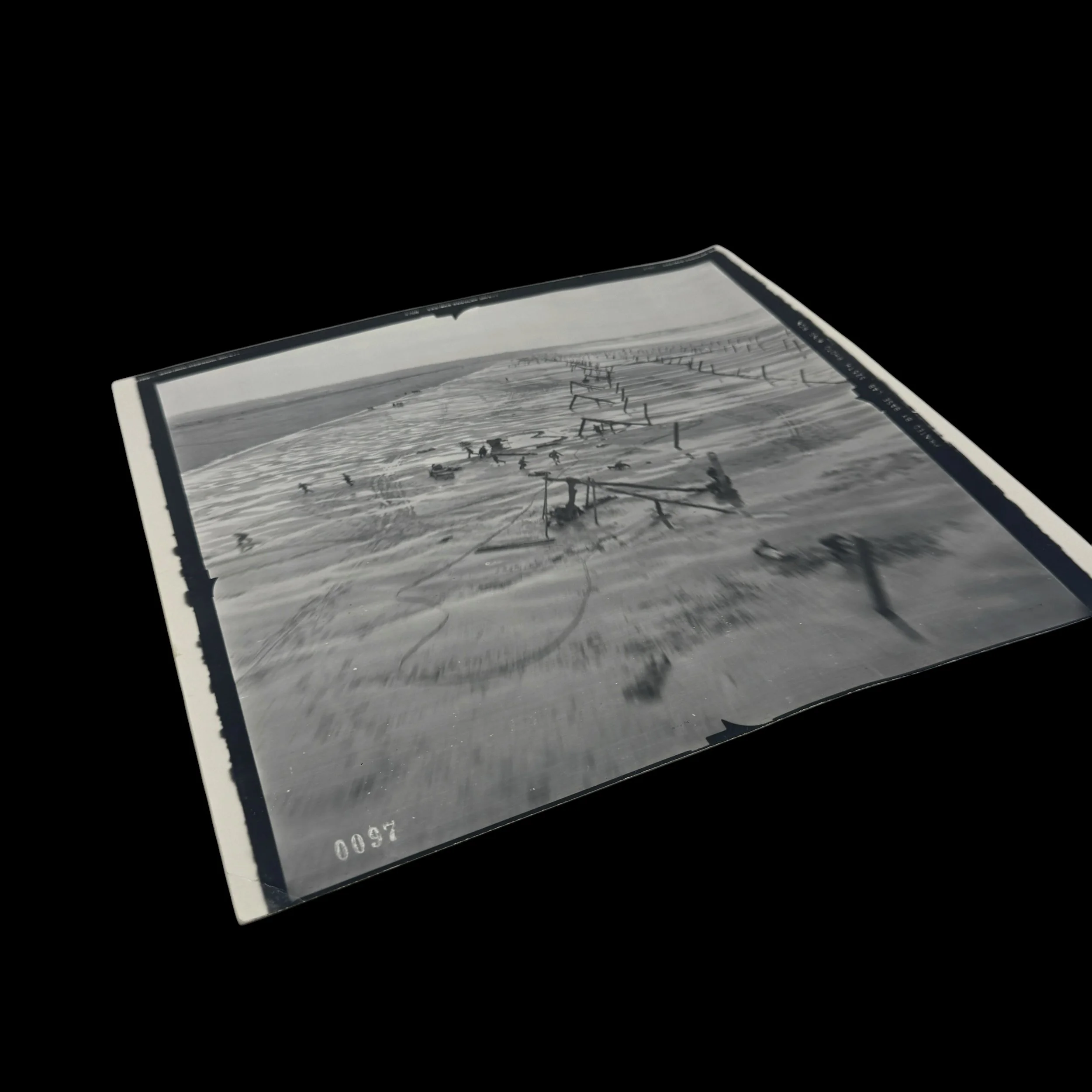
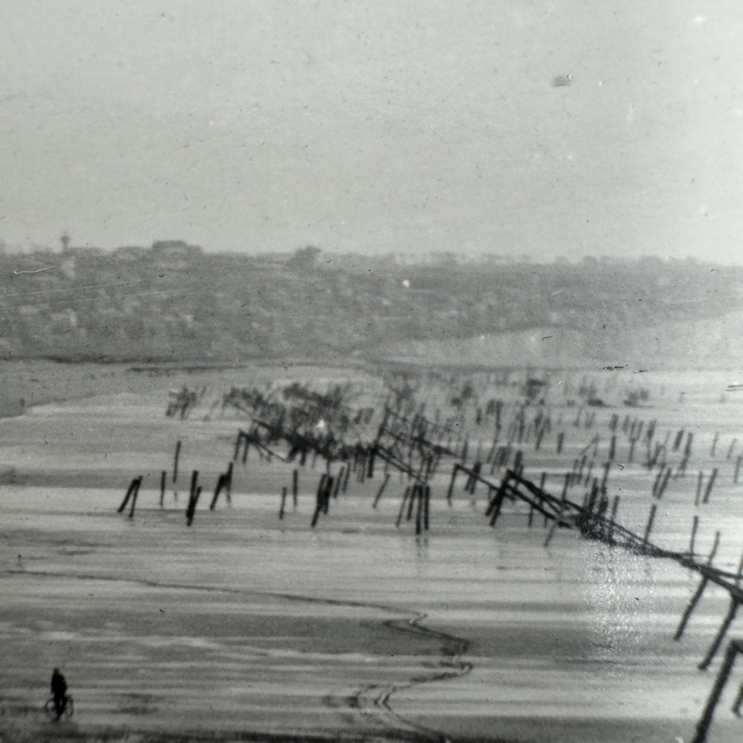
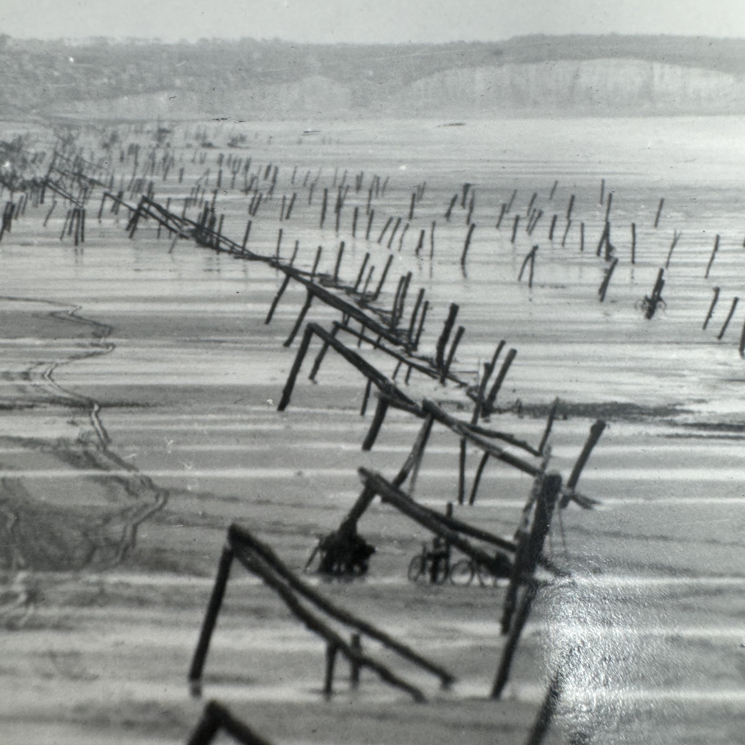
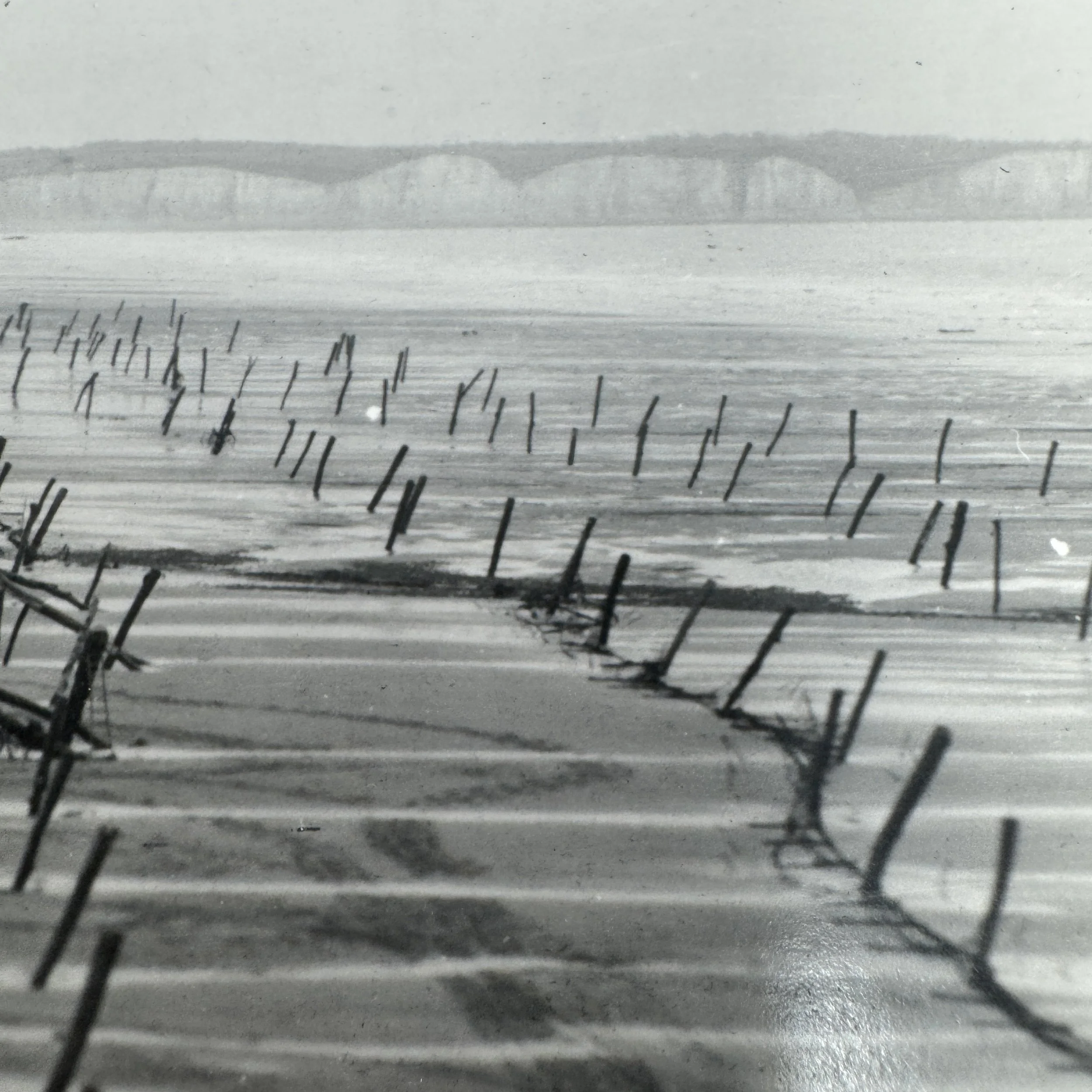
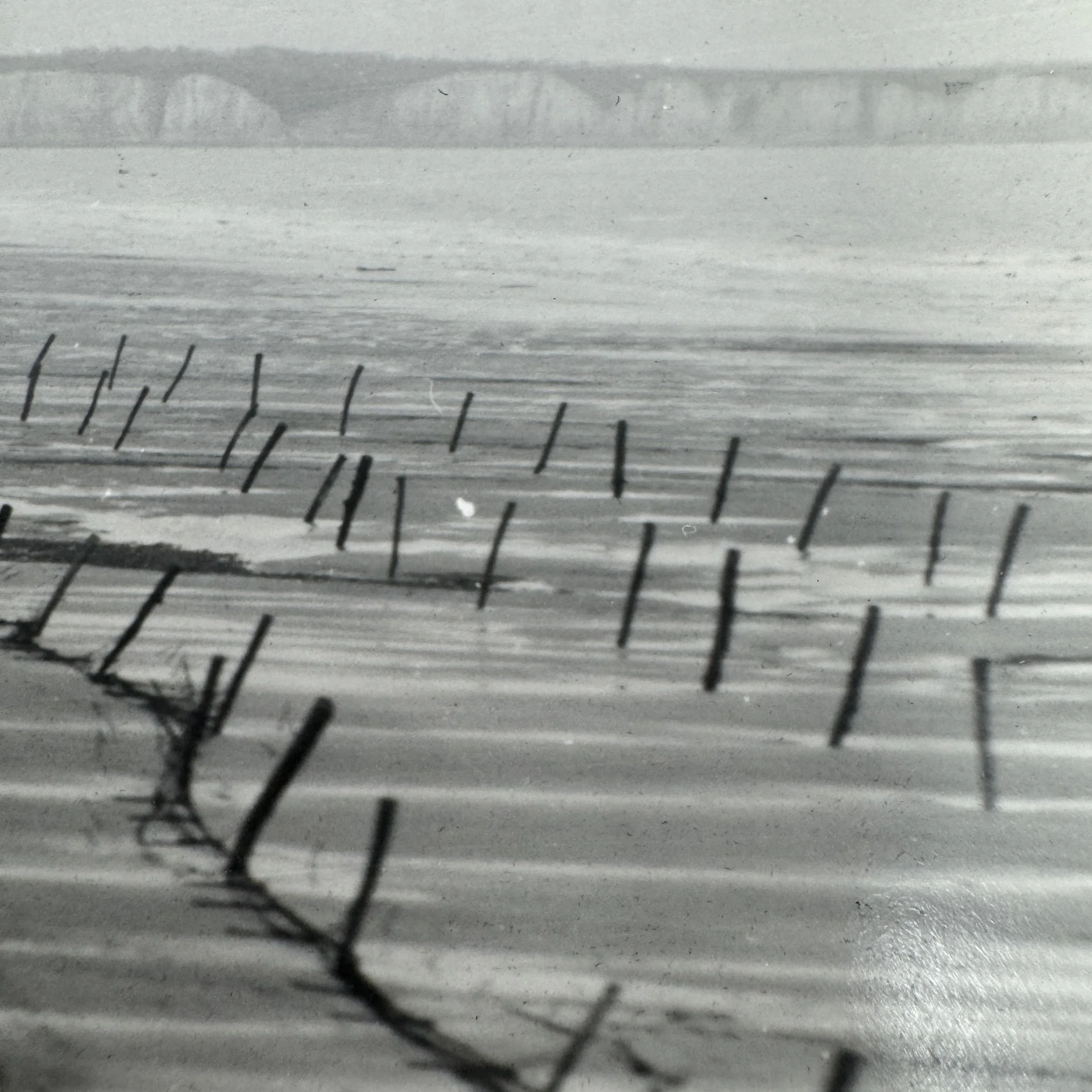
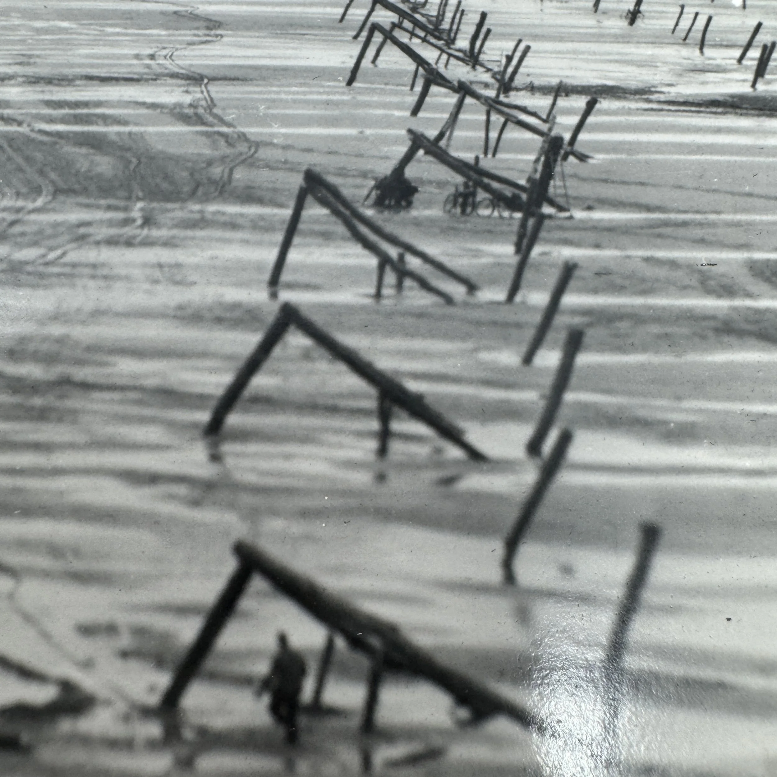
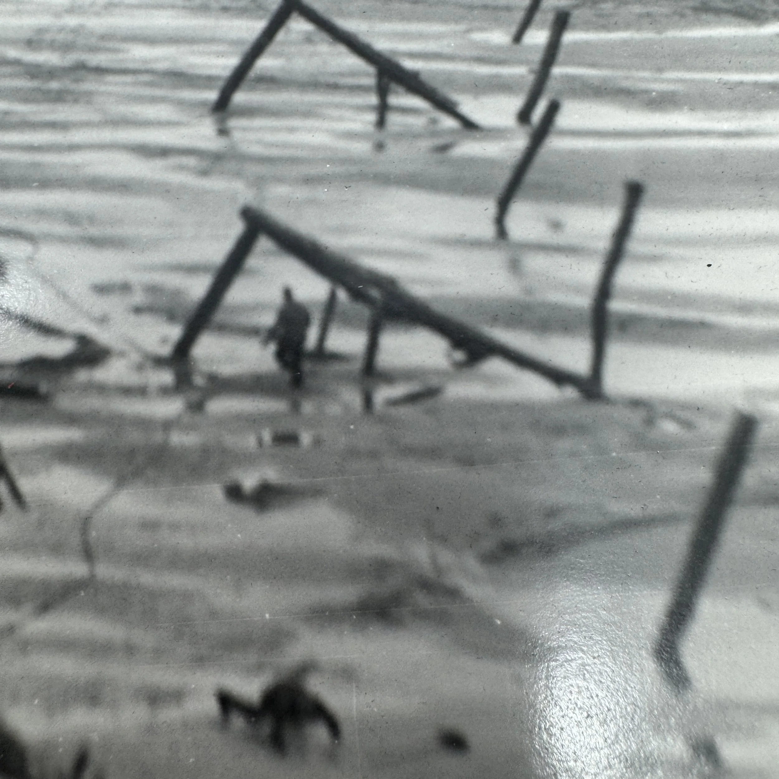
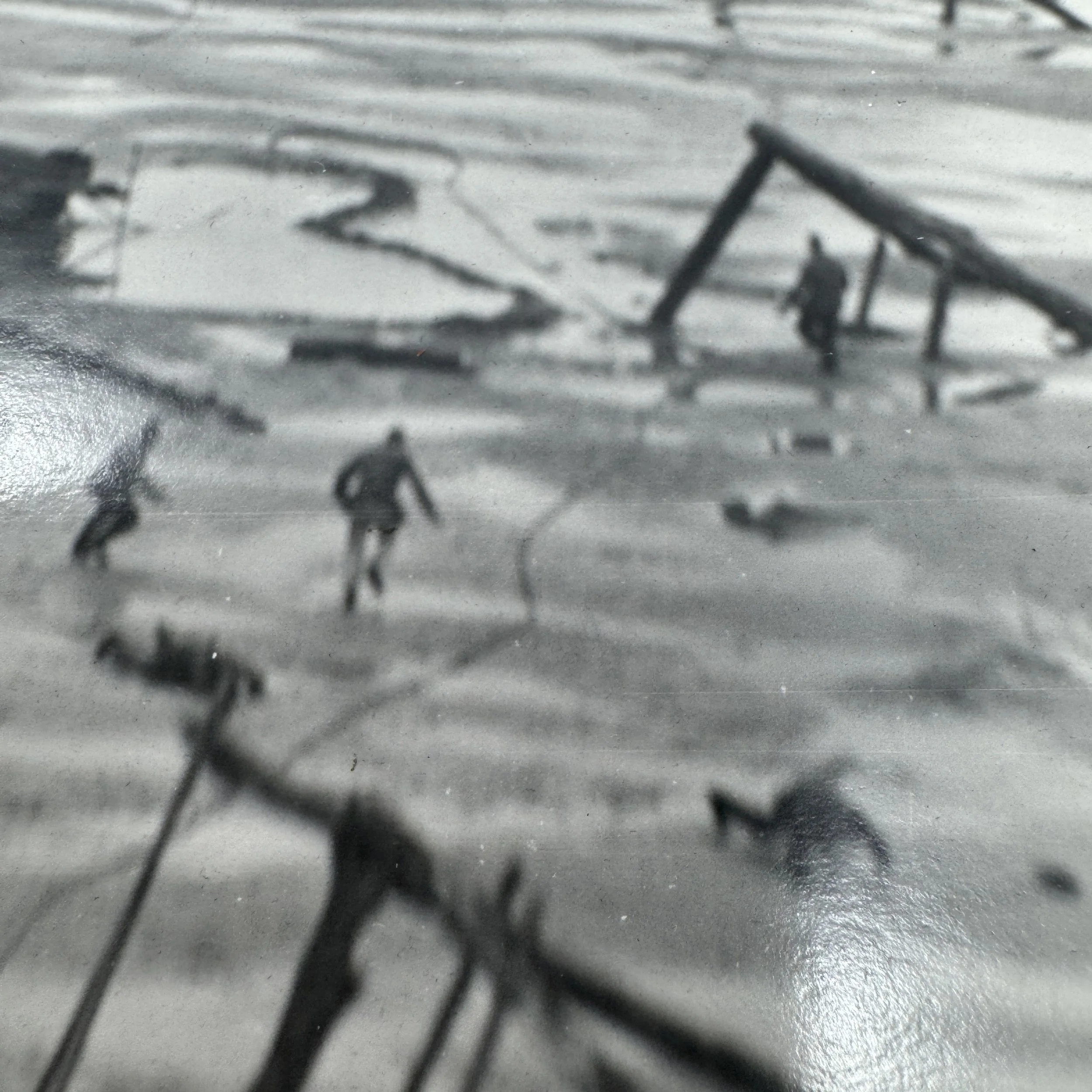
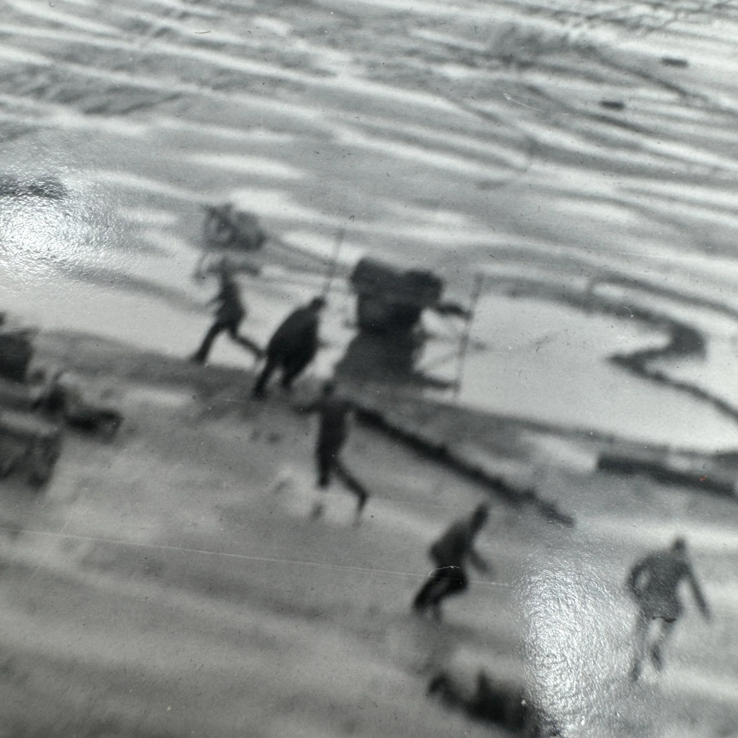
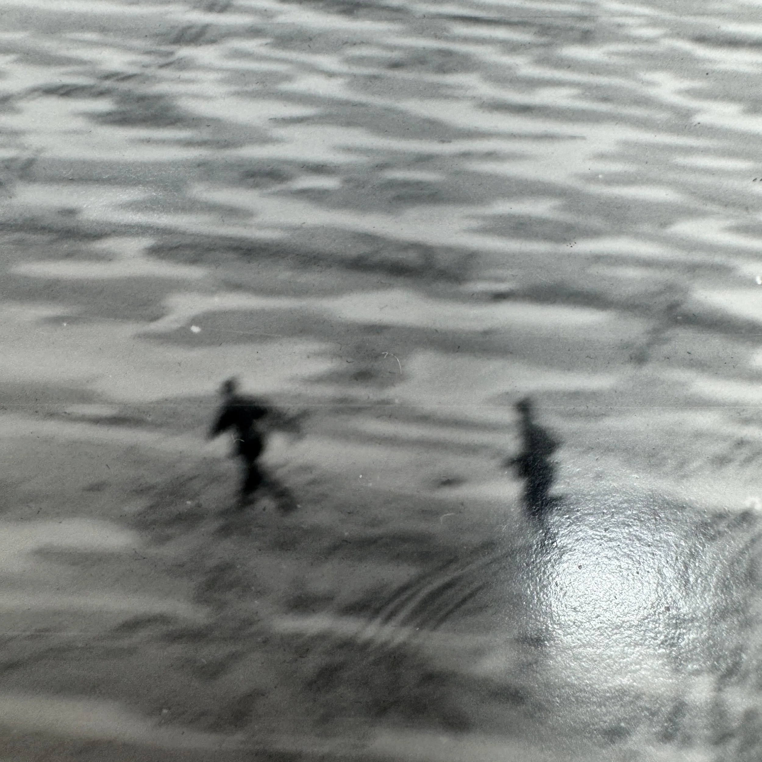
German Defenses Documented: Atlantic Wall fortifications, German soldiers scrambling for cover, Rommel's beach obstacles, and explosive tipped Hochpfähle designed to destroy Allied landing craft.
Major Military Operations: Operation Overlord and Operation Neptune, the Allied invasion and amphibious landings at Normandy on June 6, 1944.
TOP SECRET BIGOT Intelligence: Reconnaissance imagery of this type supported classified invasion maps, coastal defense assessments, beach obstacle diagrams, and Allied amphibious assault planning.
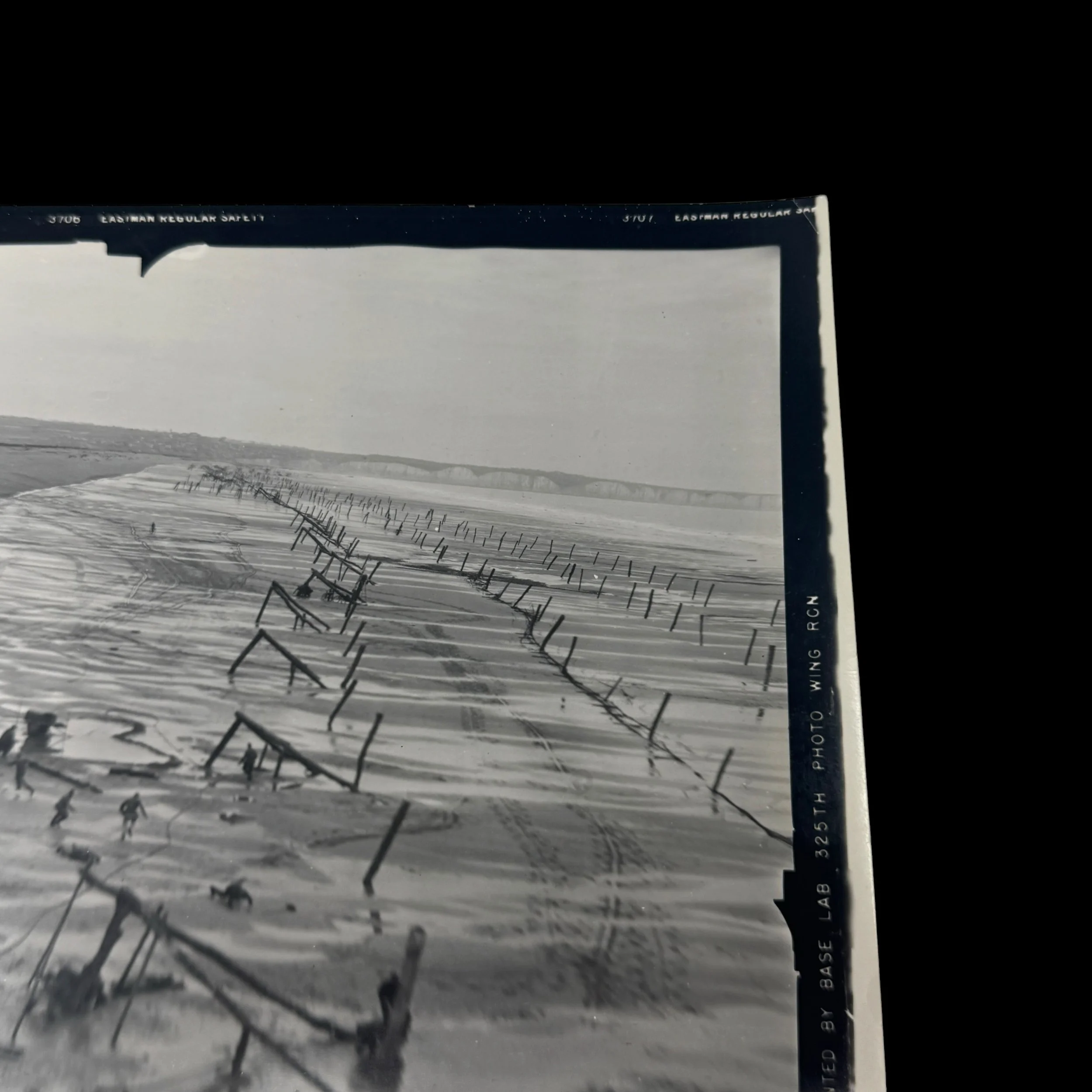
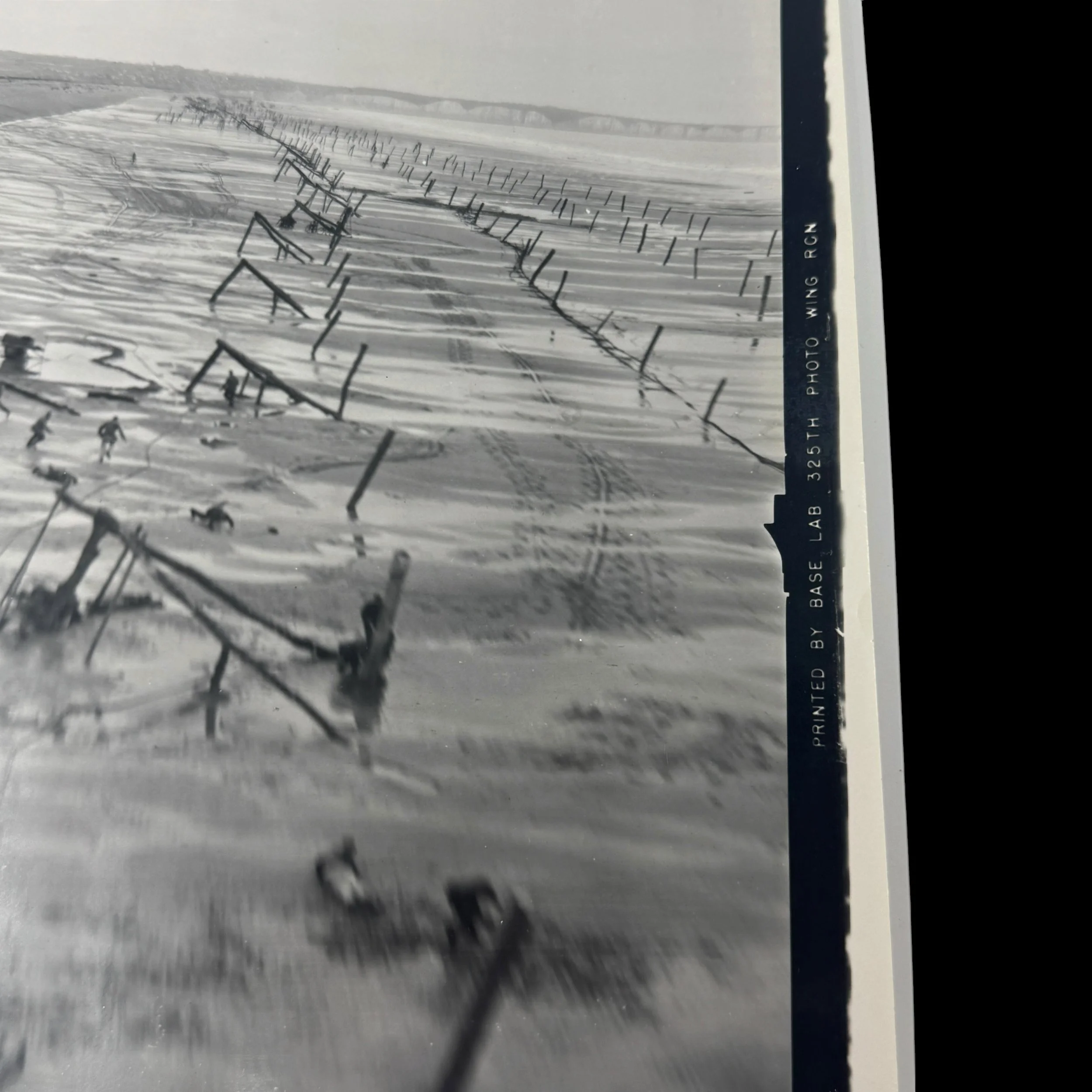
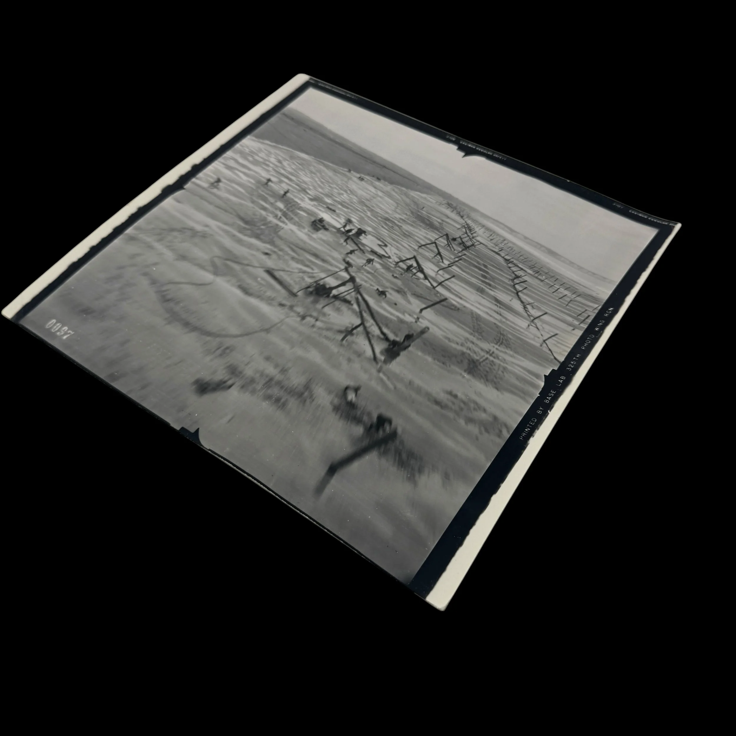
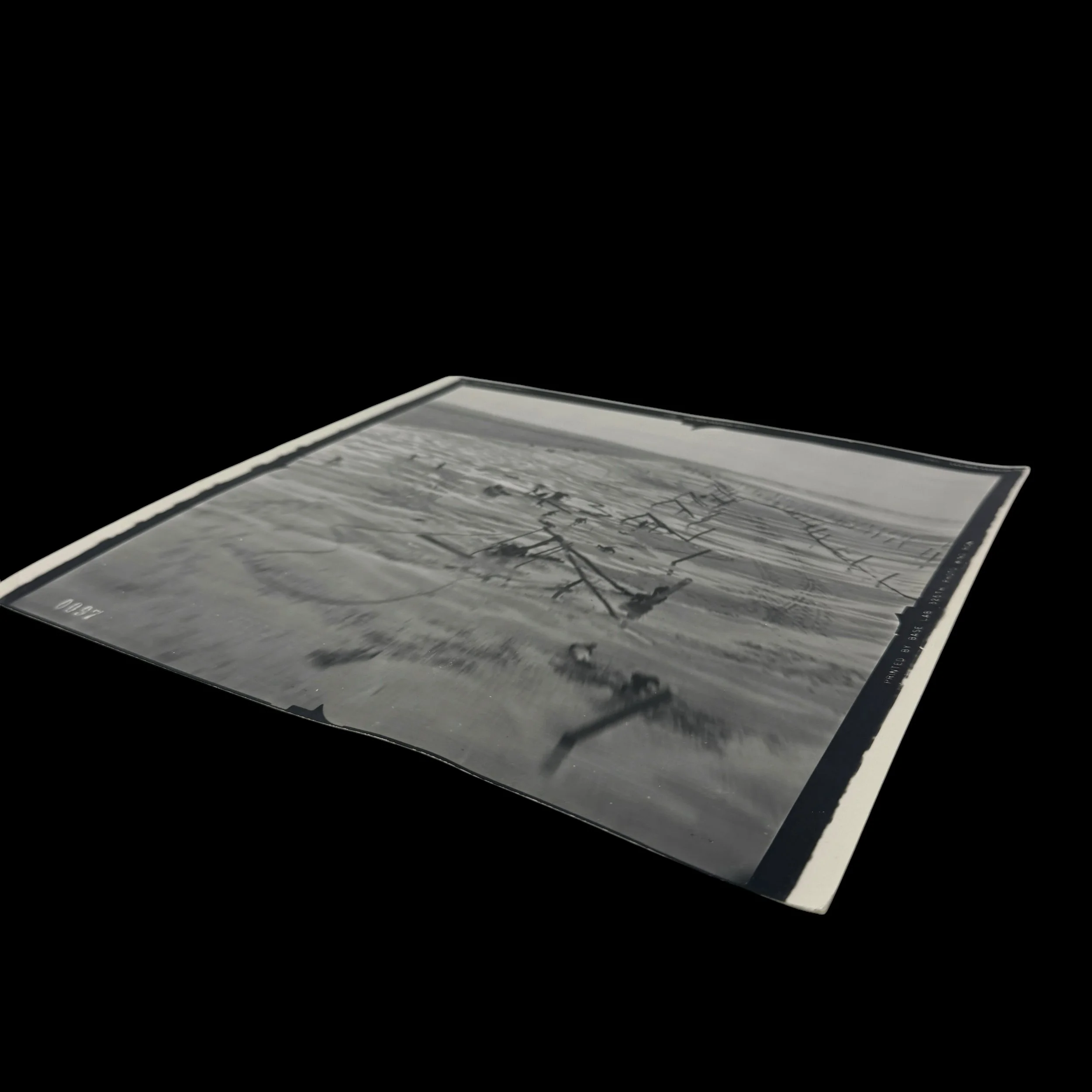
This historically significant original World War II Operation Overlord pre D-Day aerial reconnaissance photograph was captured on May 6, 1944, exactly one month before the D-Day invasion of Normandy, by Lieutenant Albert Lanker of the United States Army Air Forces' 31st Photographic Reconnaissance Squadron. Flying his unarmed Lockheed F-5 Lightning, nicknamed “Outlaw,” a specialized photographic reconnaissance variant of the P-38 Lightning fighter aircraft, Lanker conducted an exceptionally dangerous low altitude intelligence mission over the German occupied Normandy beach coastline. The photograph captures German soldiers scrambling for cover as his aircraft races above the beach, revealing extensive German coastal fortifications, anti-invasion obstacles, and preparations intended to prevent the Allied landings of June 6, 1944.
Lanker's top secret Normandy assignment was part of a specialized reconnaissance operation known as “dicing,” during which unarmed photographic aircraft flew at extremely low altitudes over heavily defended enemy territory to obtain detailed intelligence. This was reportedly only Lanker's 3rd operational mission. Flying at tremendous speed just above the Normandy shoreline, he documented the German defenses while exposing himself to enemy fire. During the mission, a German soldier reportedly fired at his aircraft with a rifle, without effect. Lanker completed his photographic run by clearing a coastal cliff by approximately six feet before returning safely with his invaluable reconnaissance intelligence. A fellow squadron member later attributed the unit's Presidential Unit Citation to the importance of this photograph, writing, “Won our presidential citation by this picture.”
Prominently documented are rows of German Hochpfähle, or “high stakes,” among the obstacles associated with Field Marshal Erwin Rommel's extensive strengthening of the Atlantic Wall. These wooden stakes, often fitted with mines, were embedded across the tidal flats to destroy approaching Allied landing craft and amphibious vehicles. Additional angled barriers and defensive structures created successive lines of obstruction along the beaches. At high tide, many of these obstacles became partially submerged, creating deadly hazards for landing craft carrying American, British, and Canadian assault troops. The detailed documentation of these defenses was essential to understanding the dangers Allied forces would encounter during the Normandy invasion.
The reconnaissance intelligence gathered during missions such as Lanker's directly supported the preparation of the highly classified BIGOT invasion maps and planning materials used for Operation Overlord. BIGOT was a special security classification restricting access to the most sensitive information concerning the planned Normandy invasion. Allied intelligence officers and photographic interpreters examined aerial reconnaissance imagery to identify German obstacles, fortified positions, beach approaches, and coastal terrain. This information contributed to the development and updating of detailed invasion maps, beach defense diagrams, and operational intelligence used by Allied commanders, naval landing forces, and combat engineers. Lanker's May 6 mission provided precisely the type of photographic intelligence needed for these preparations, although the use of this particular image in an individual surviving BIGOT map has not been independently established.
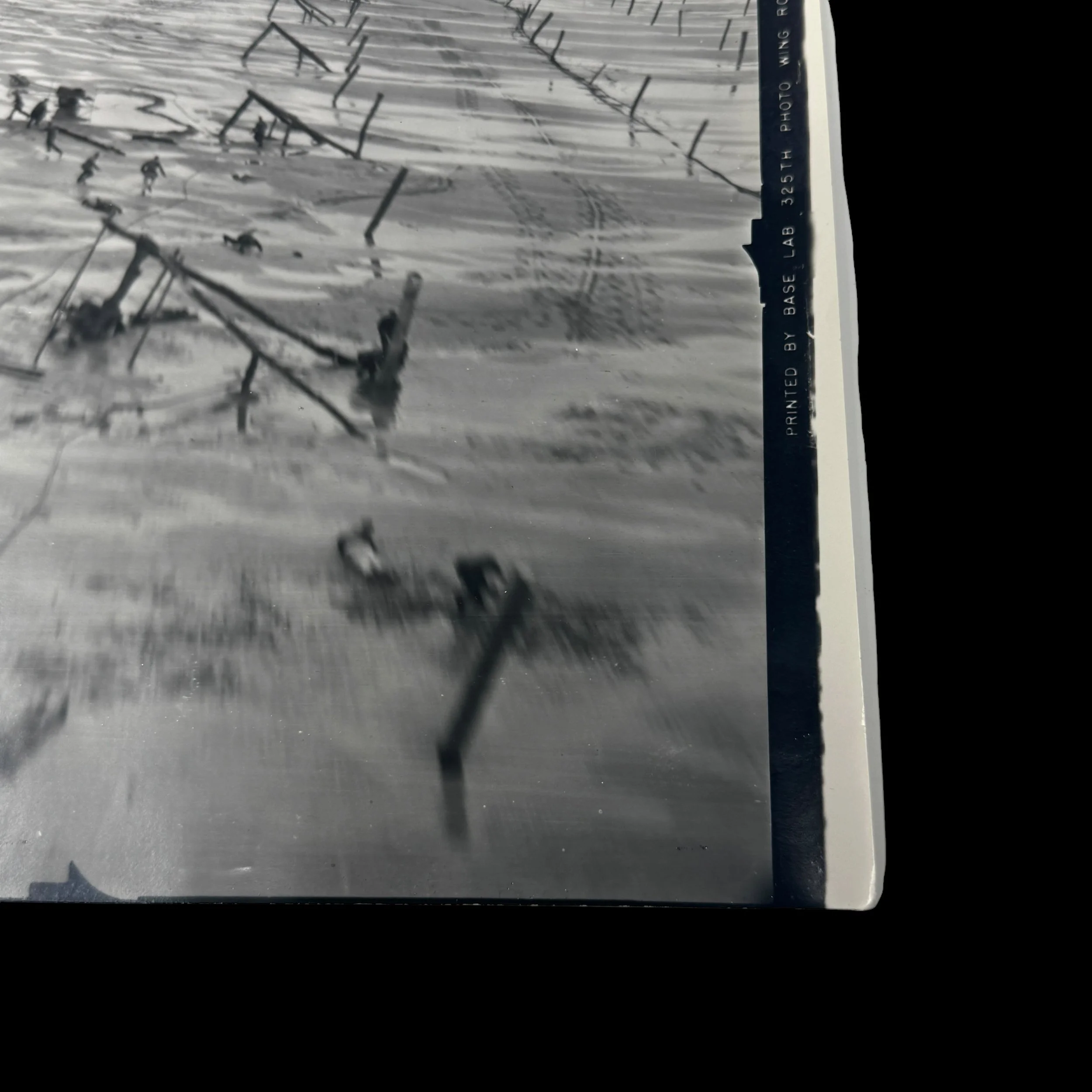
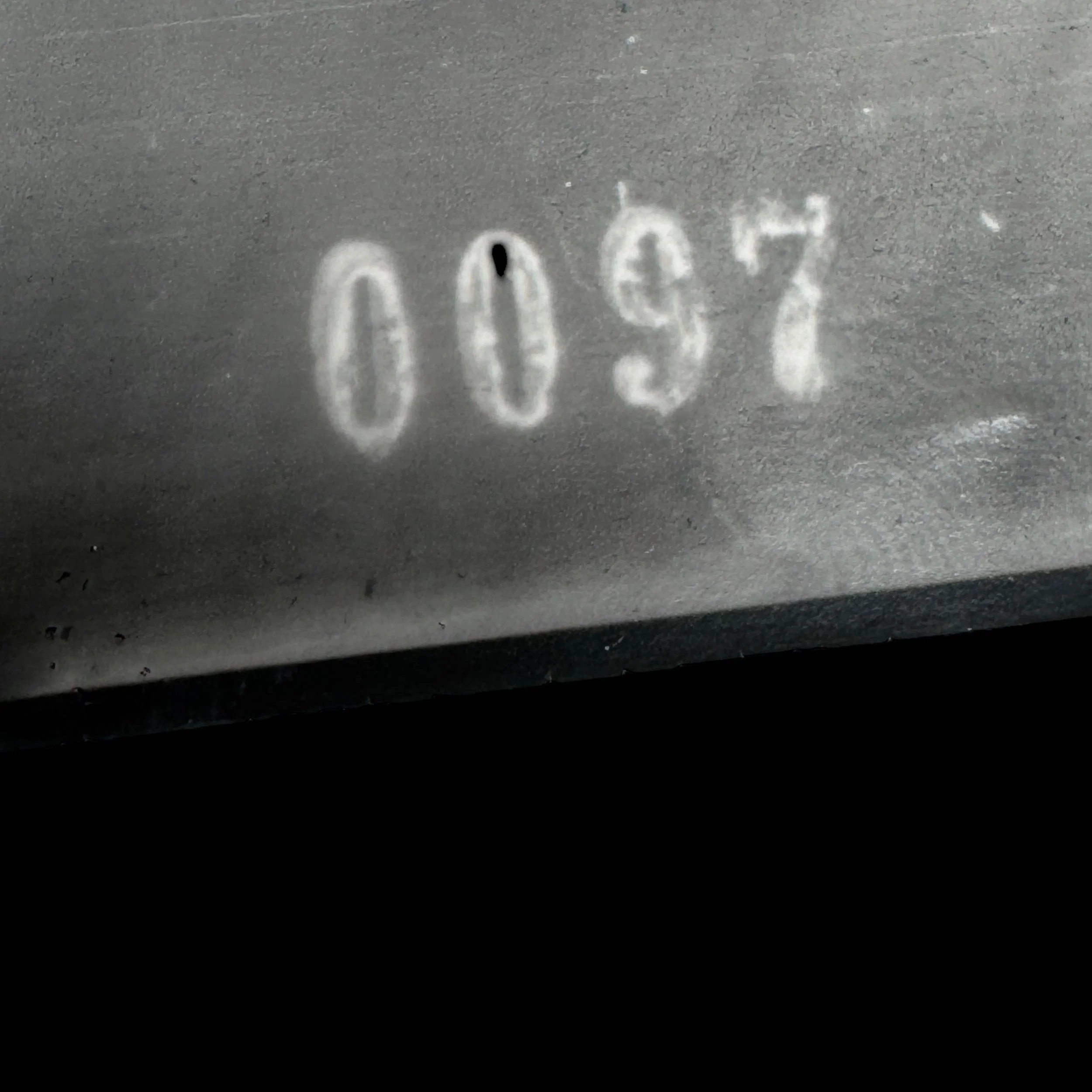
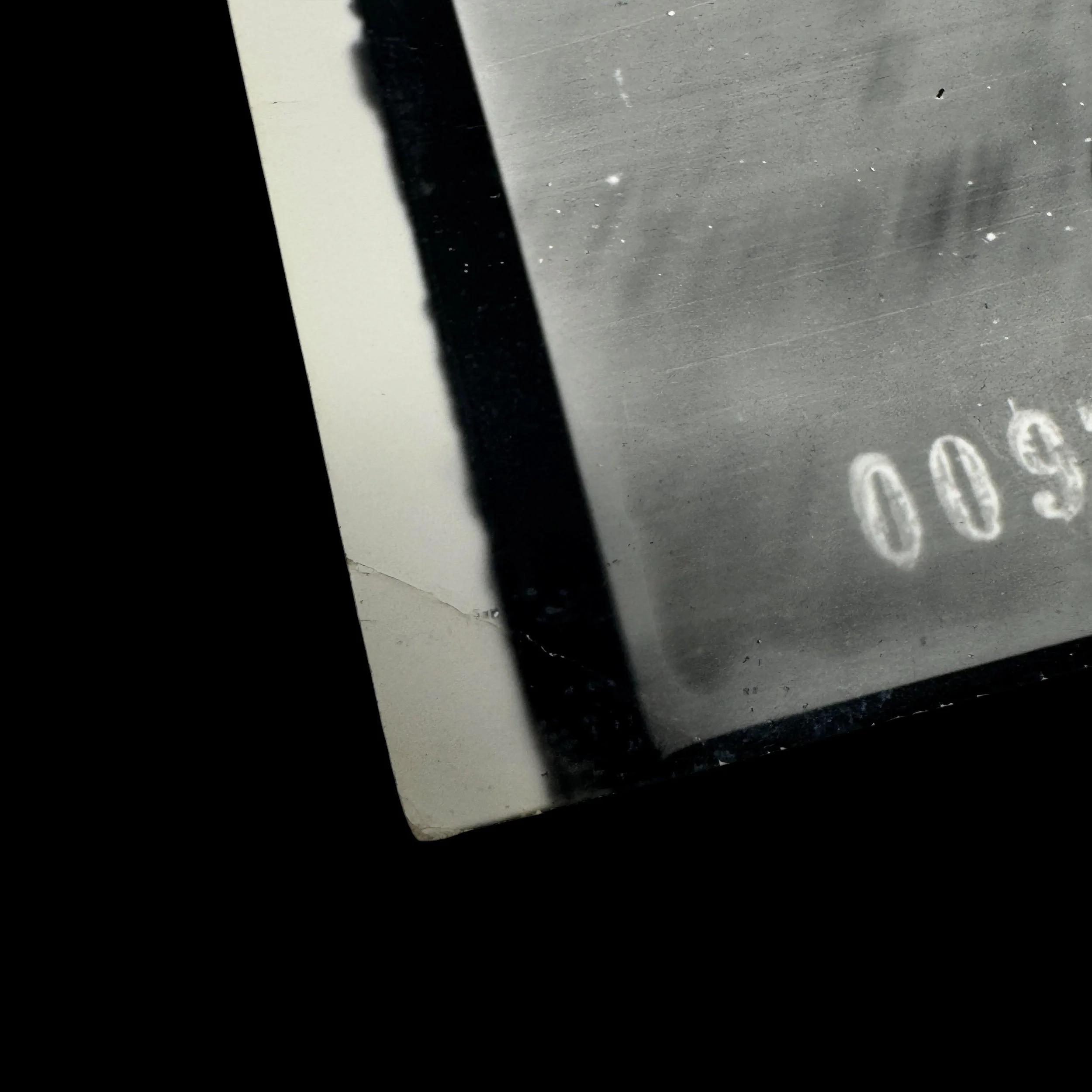
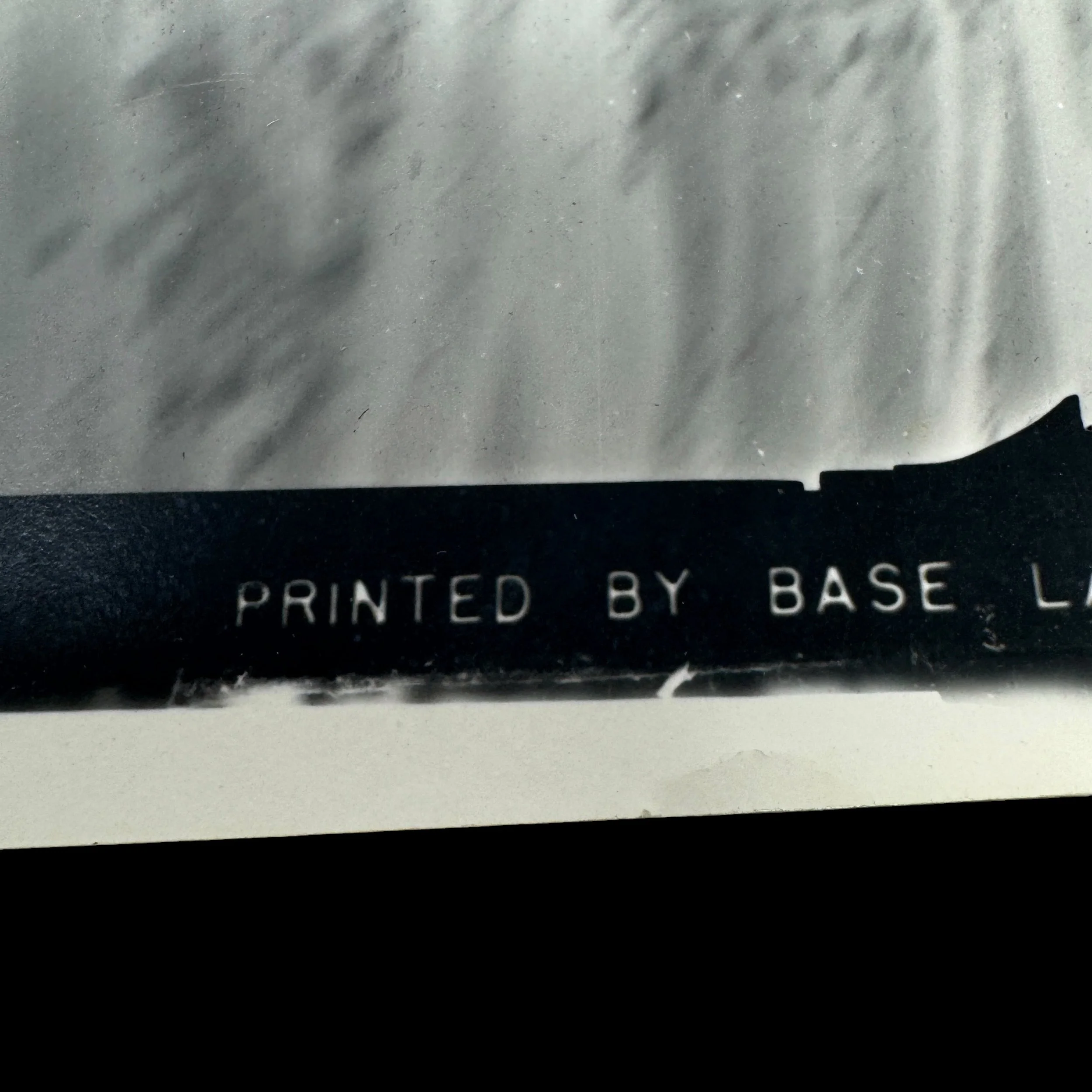
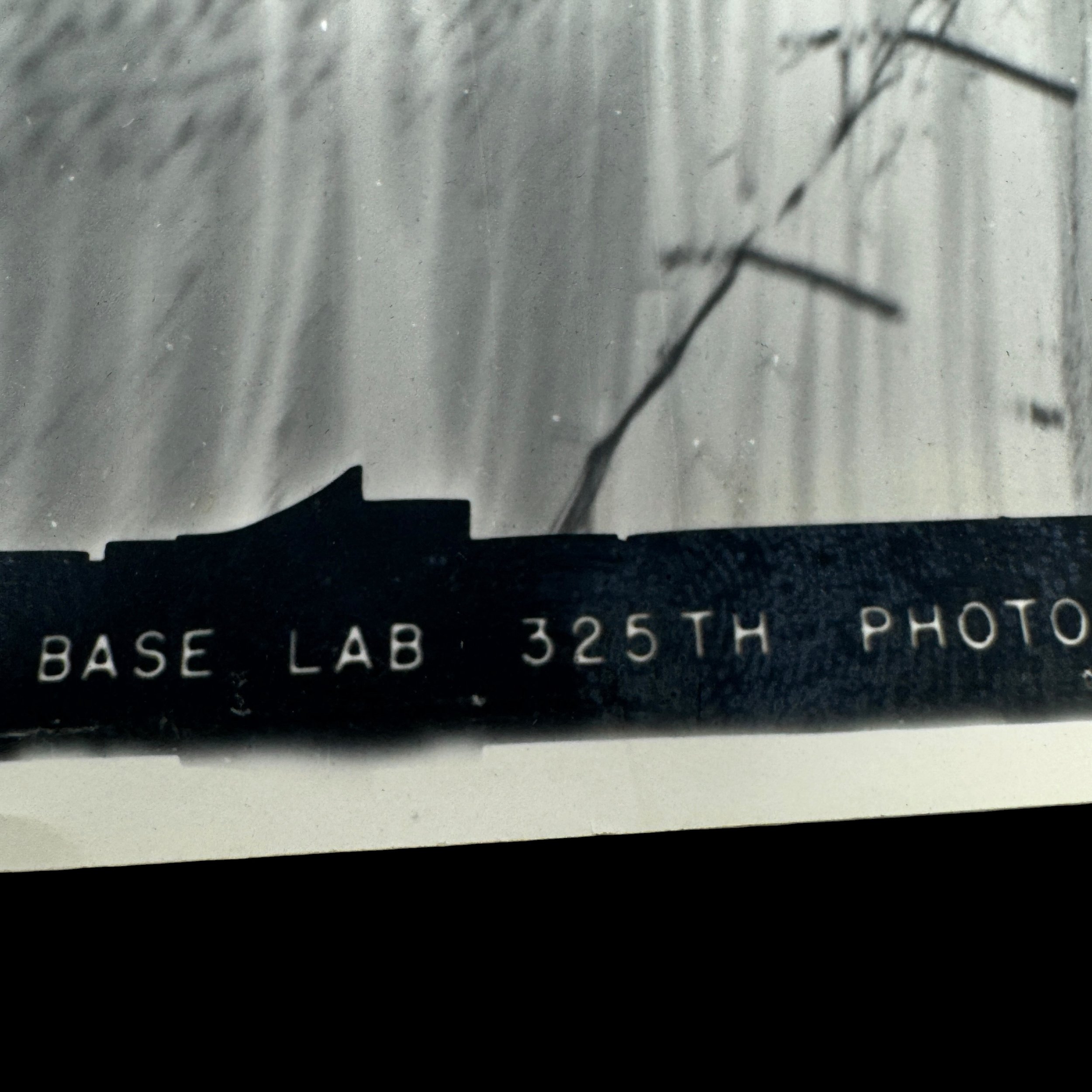
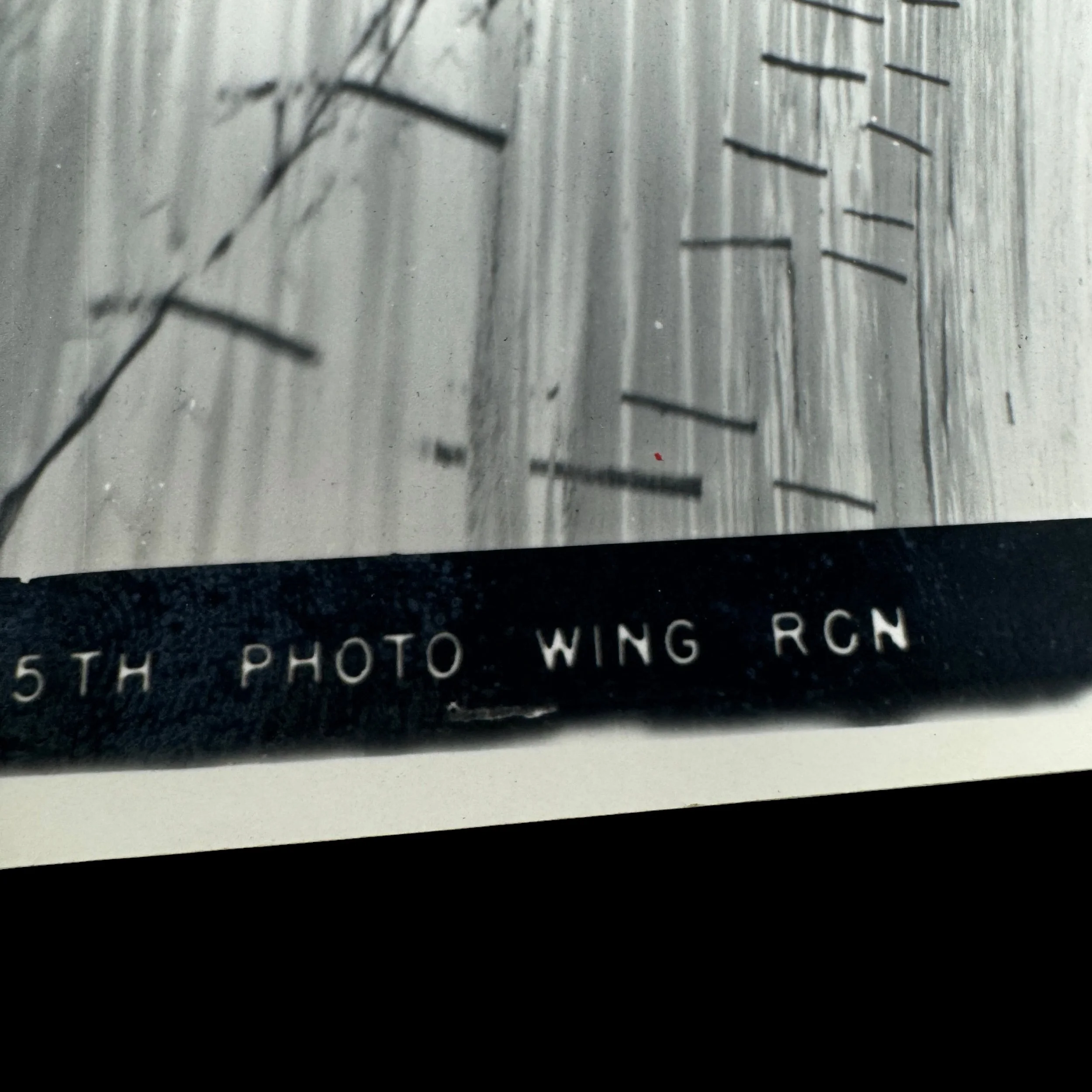
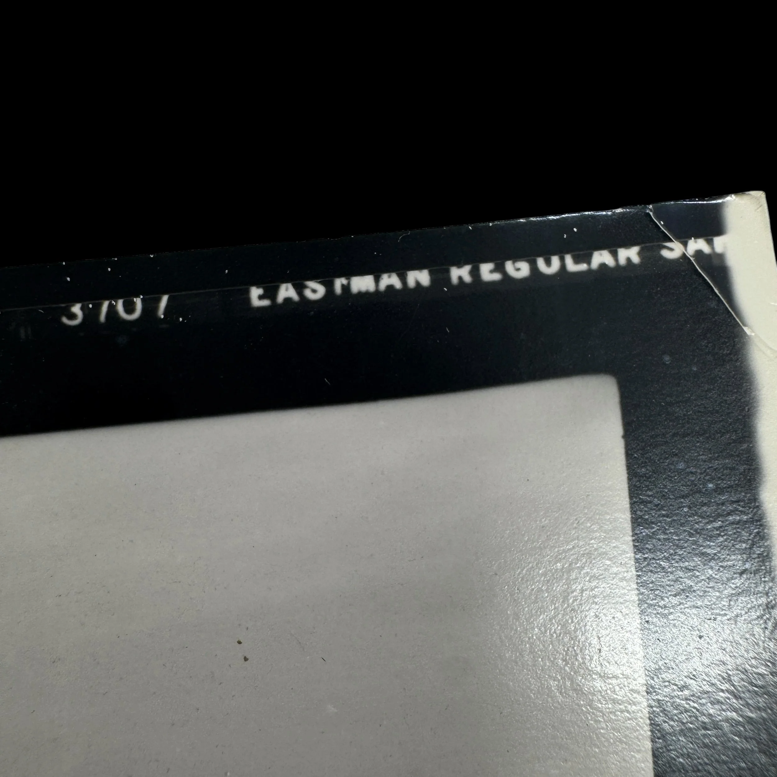
The surviving TYPE ONE original wartime photographic print bears the military identification “PRINTED BY BASE LAB 325TH PHOTO WING RCN,” connecting its production to the United States Army Air Forces' 325th Photographic Wing (Reconnaissance), responsible for processing and reproducing aerial intelligence in the European Theater. The print retains its photographic identification number 0097 and period Eastman Regular Safety markings. Because the 325th Photographic Wing was formally activated in August 1944, this surviving laboratory print may have been produced from Lanker's original May 6 reconnaissance imagery after the Normandy invasion. Its Type 1 classification is subject to confirmation of the photographic paper and printing date.
This extraordinary wartime artifact preserves one of the most compelling aerial reconnaissance scenes associated with the preparations for D-Day, June 6, 1944. Its historical importance lies in the extraordinary risks undertaken by Lieutenant Albert Lanker and the 31st Photographic Reconnaissance Squadron to document the German Atlantic Wall before the invasion. The intelligence obtained through these missions helped Allied planners understand the formidable defenses awaiting the invasion forces at Utah, Omaha, Gold, Juno, and Sword Beaches. Representing the intersection of aerial reconnaissance, top secret BIGOT intelligence, and Operation Overlord, this original military photograph provides a remarkable connection to the intelligence operations that helped make the liberation of occupied Western Europe possible.