VERY RARE! WWII 1944 "D-Day Omaha Beach to Operation Cobra" Captured German H.Q. Map Used By American Soldier's (Heavily Combat Marked)
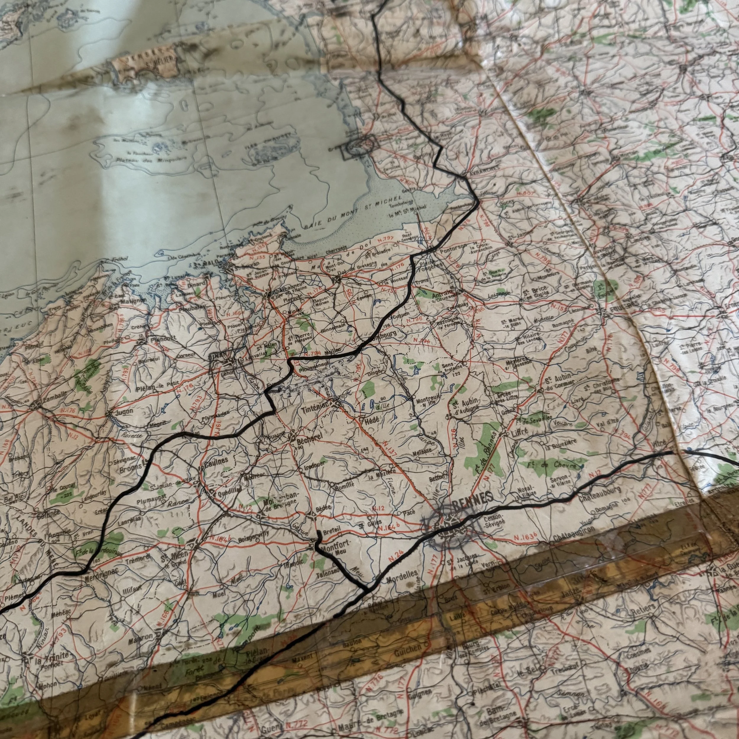
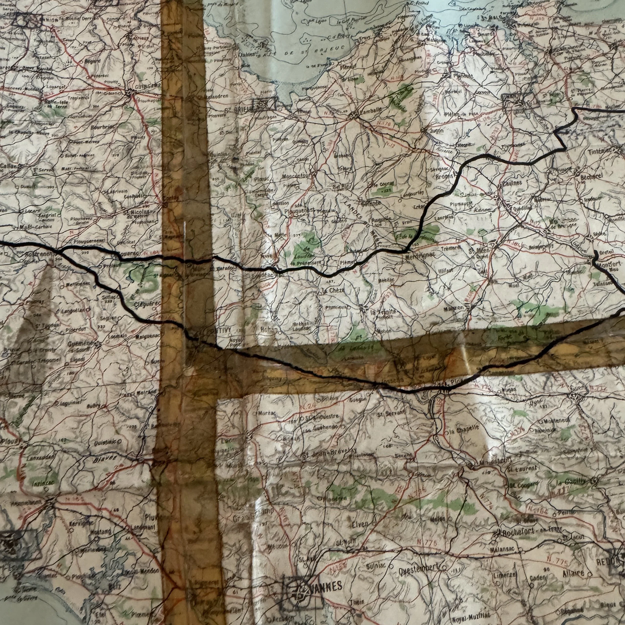
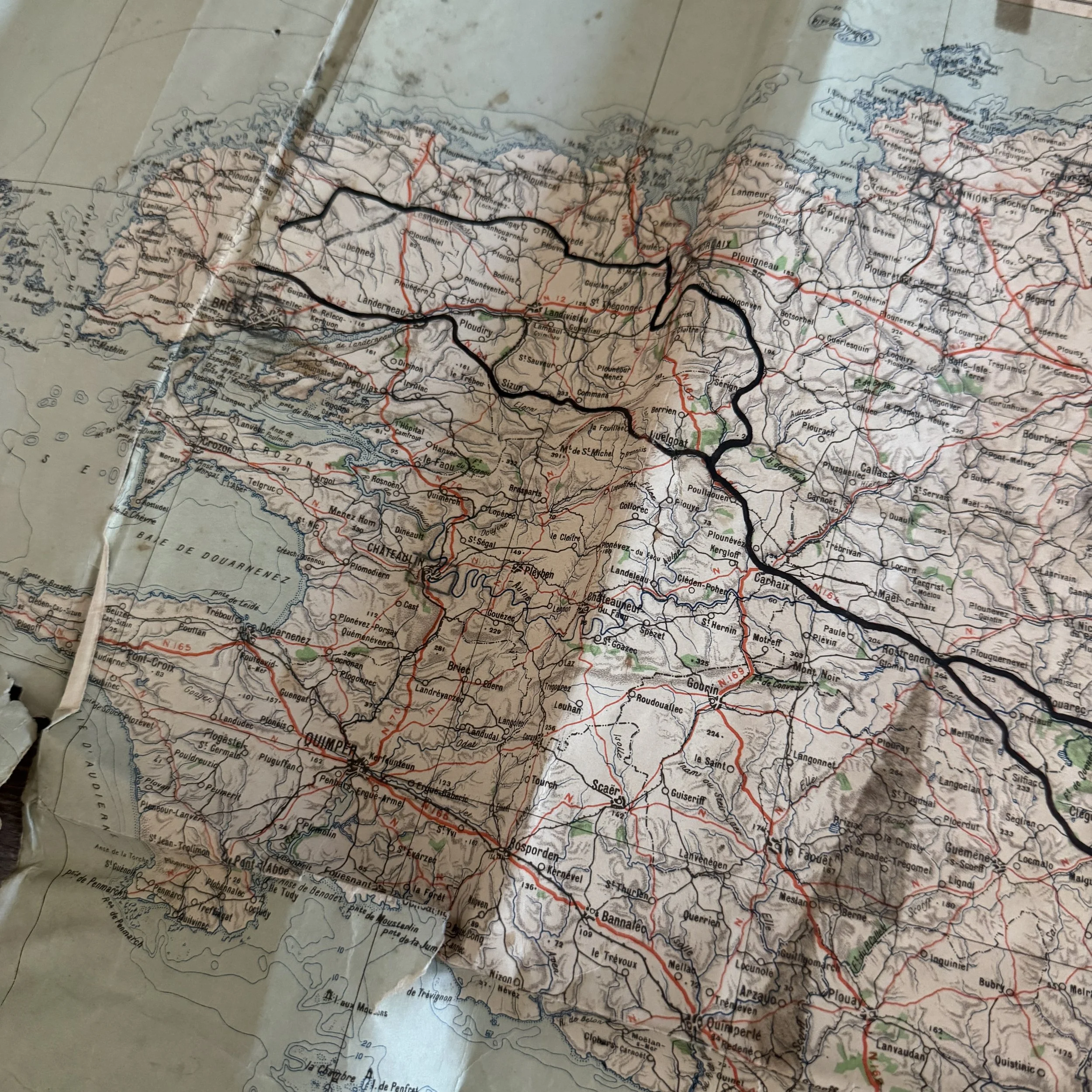
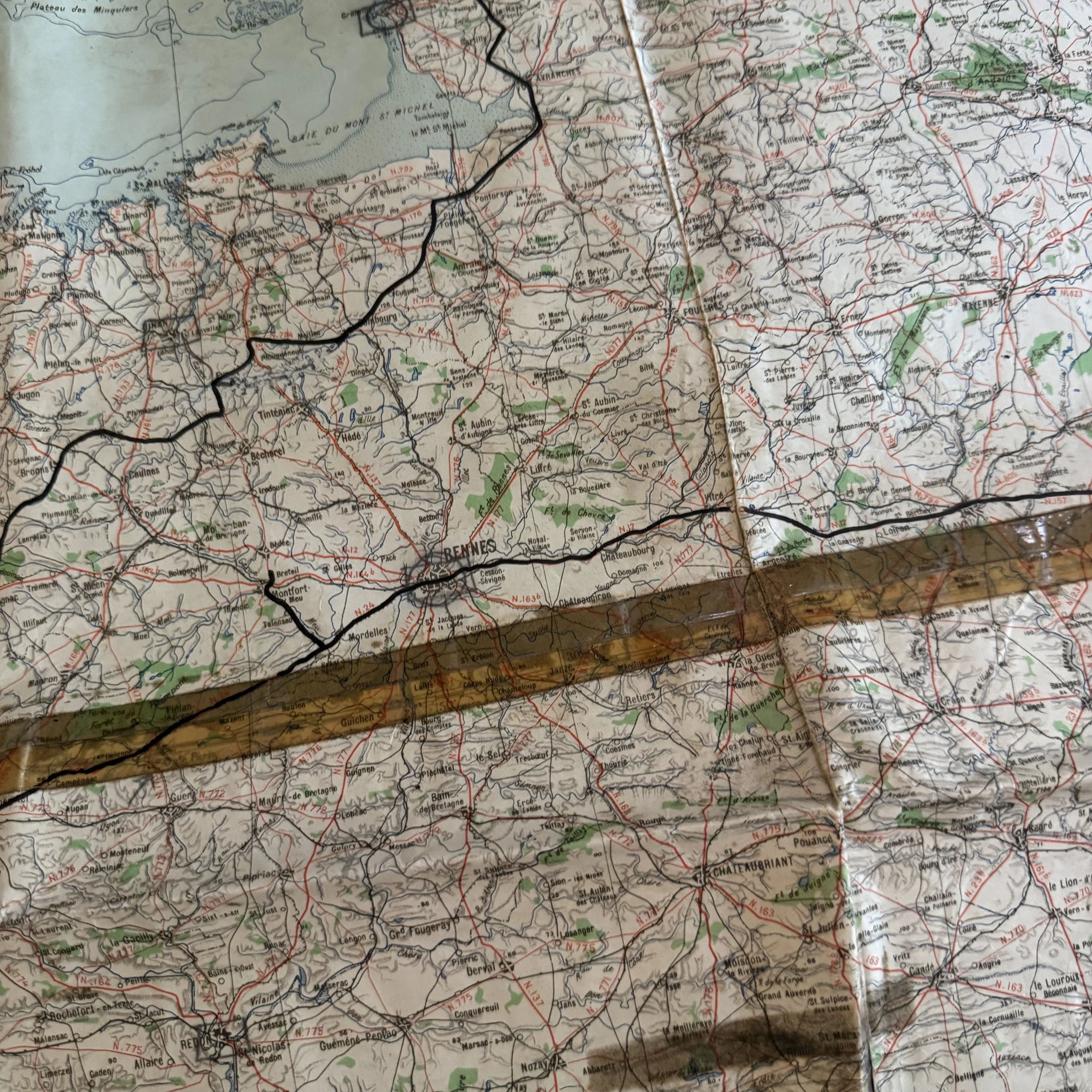
VERY RARE! WWII 1944 "D-Day Omaha Beach to Operation Cobra" Captured German H.Q. Map Used By American Soldier's (Heavily Combat Marked)
Comes with a hand-signed C.O.A.
Size: 41 inches x 41 inches
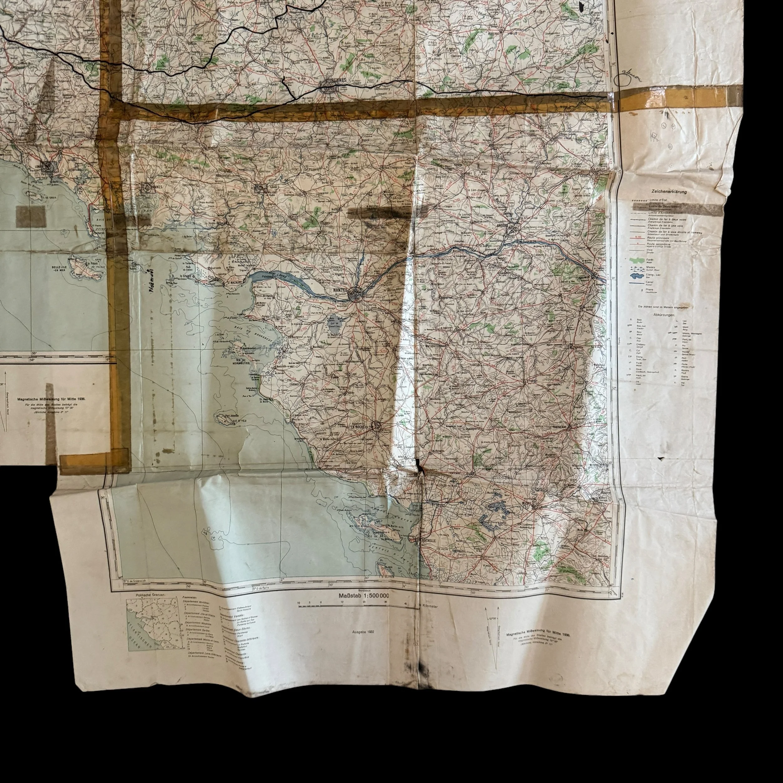
Capture & Field Repurposing: Captured by advancing D-Day American soldiers in Normandy, France from German bunkers/HQ by U.S. forces following D-Day and repurposed by G-2 (Intelligence) or G-3 (Operations) staff to track frontline movements during Allied map shortages. Making this a VERY RARE Invasion of Normandy map used by both German and then American forces.
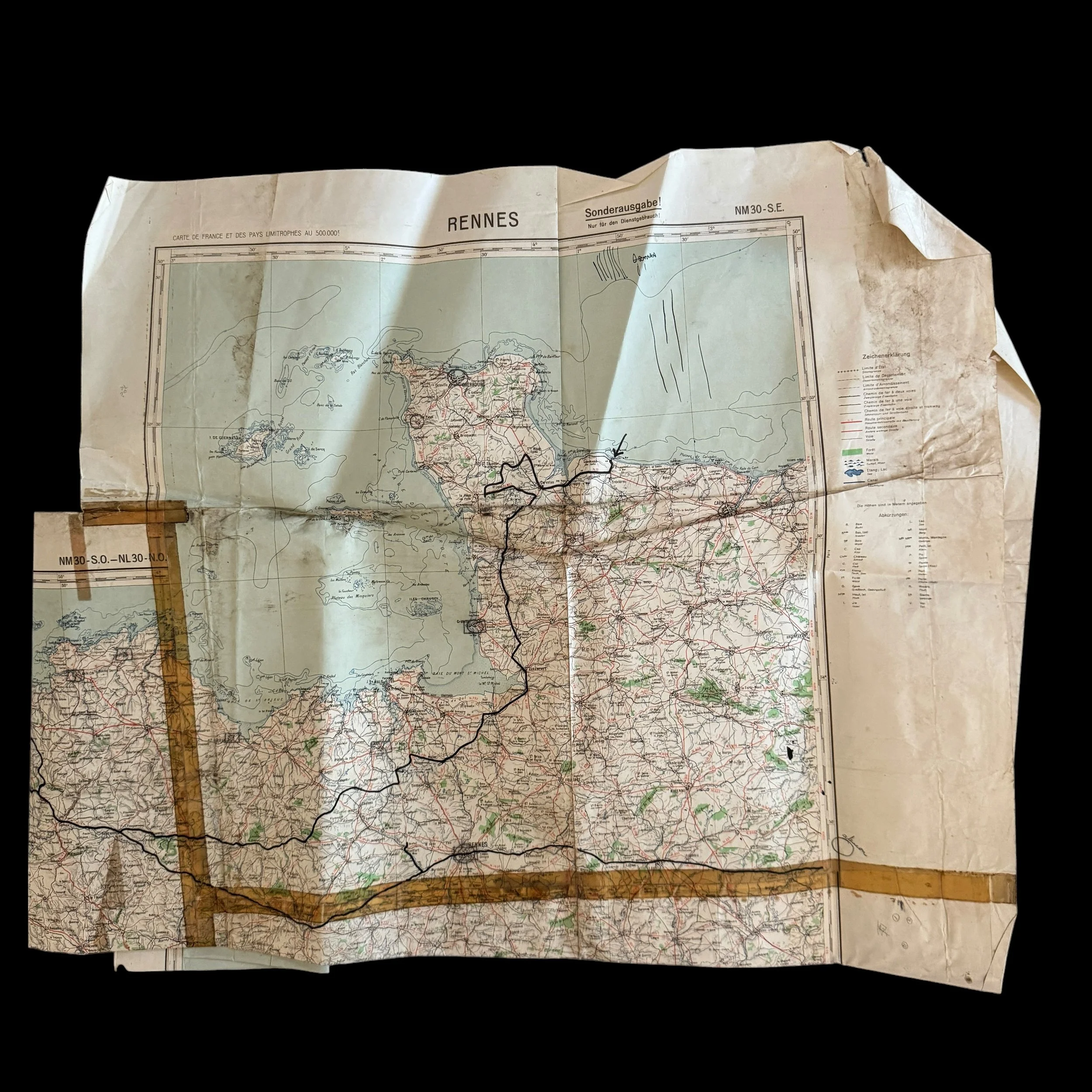
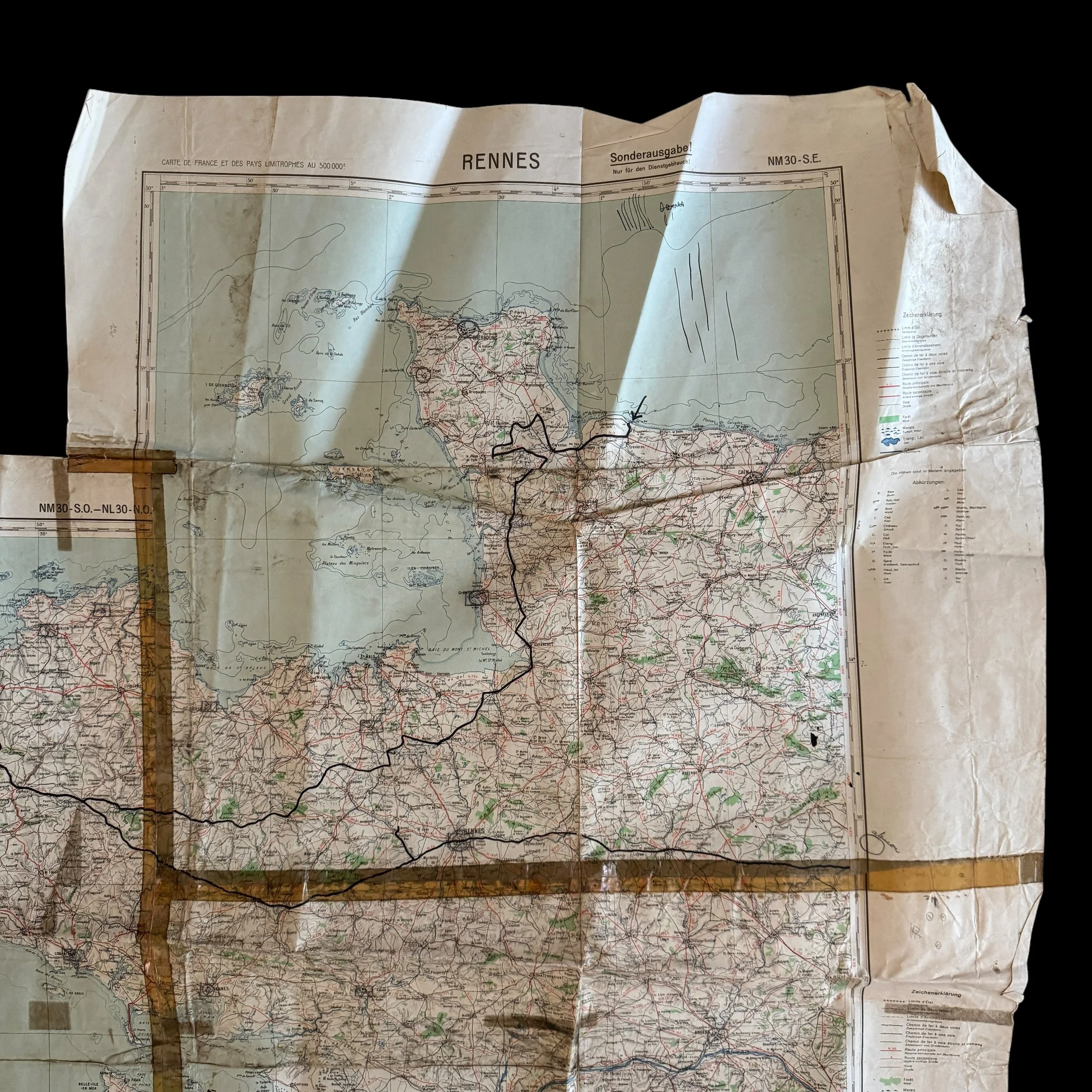
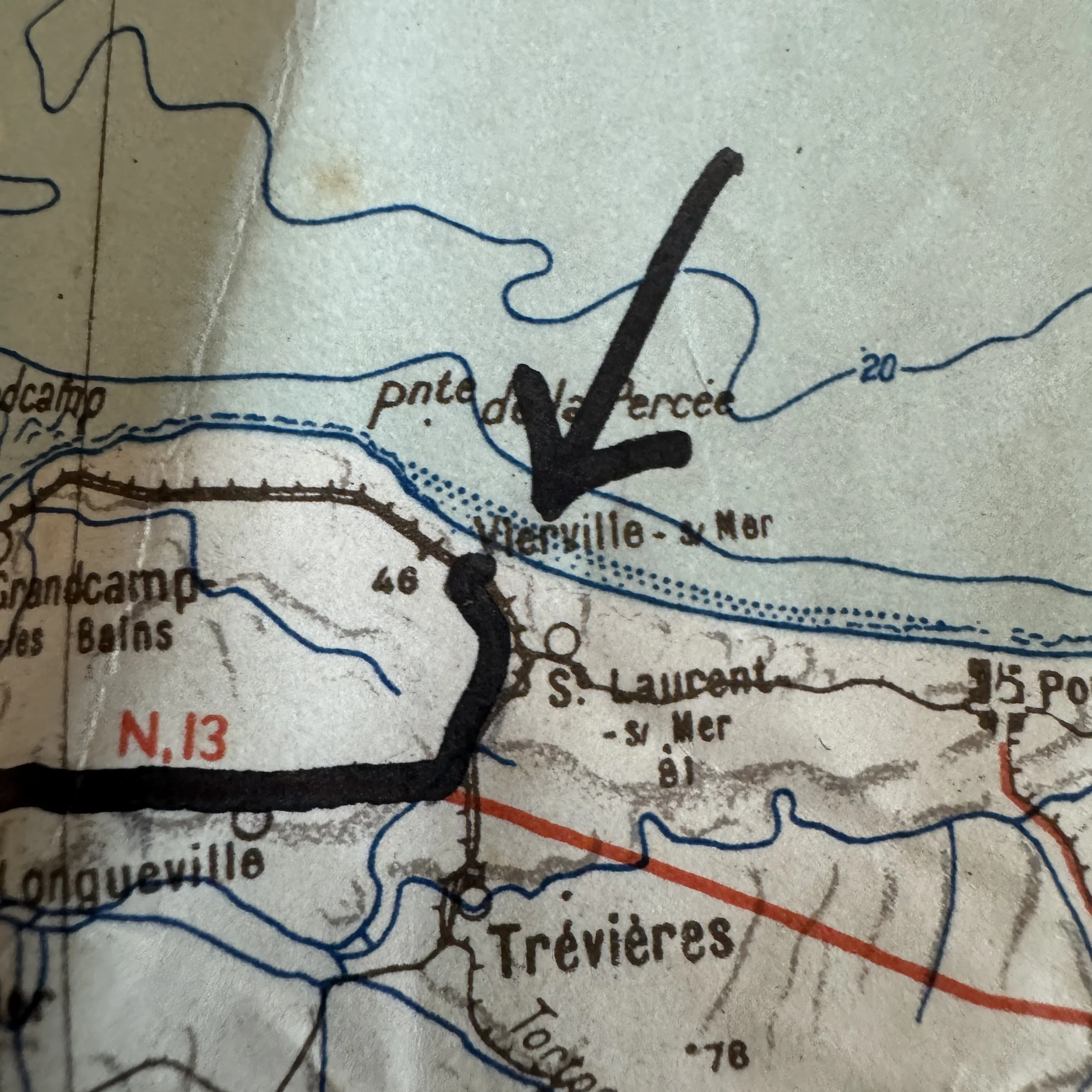
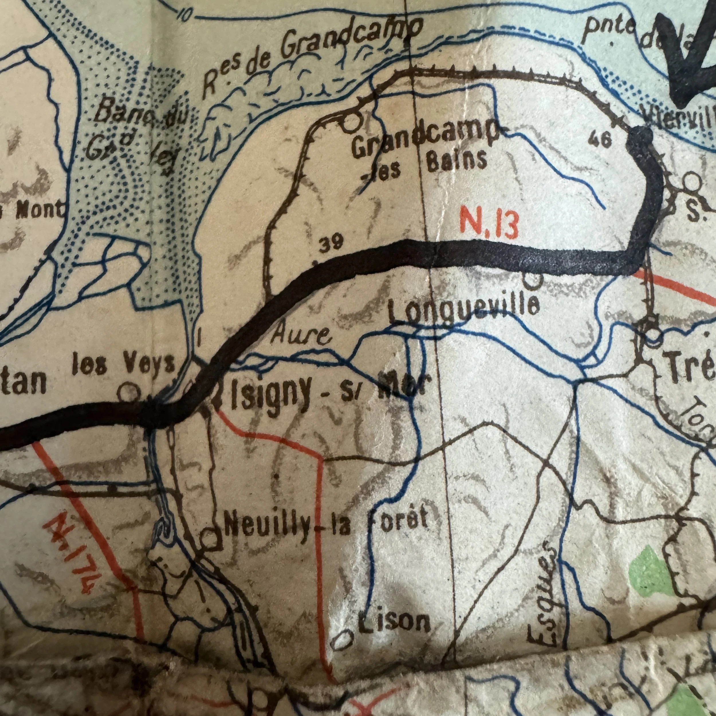
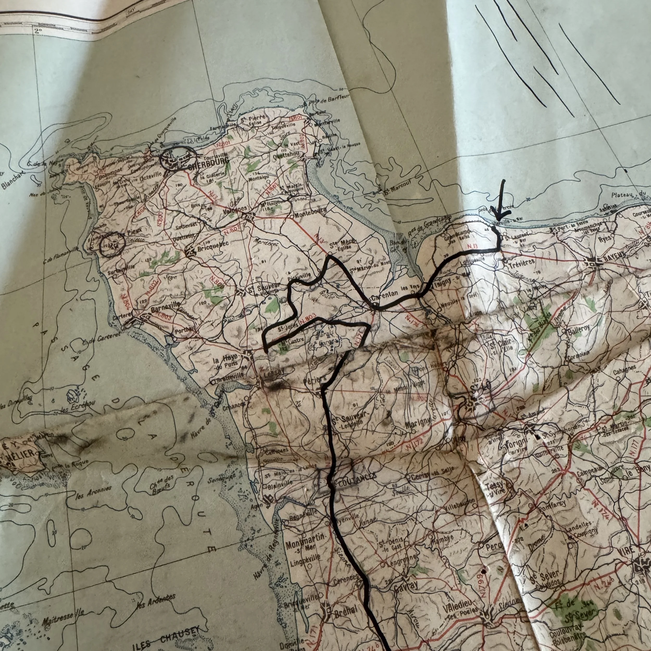
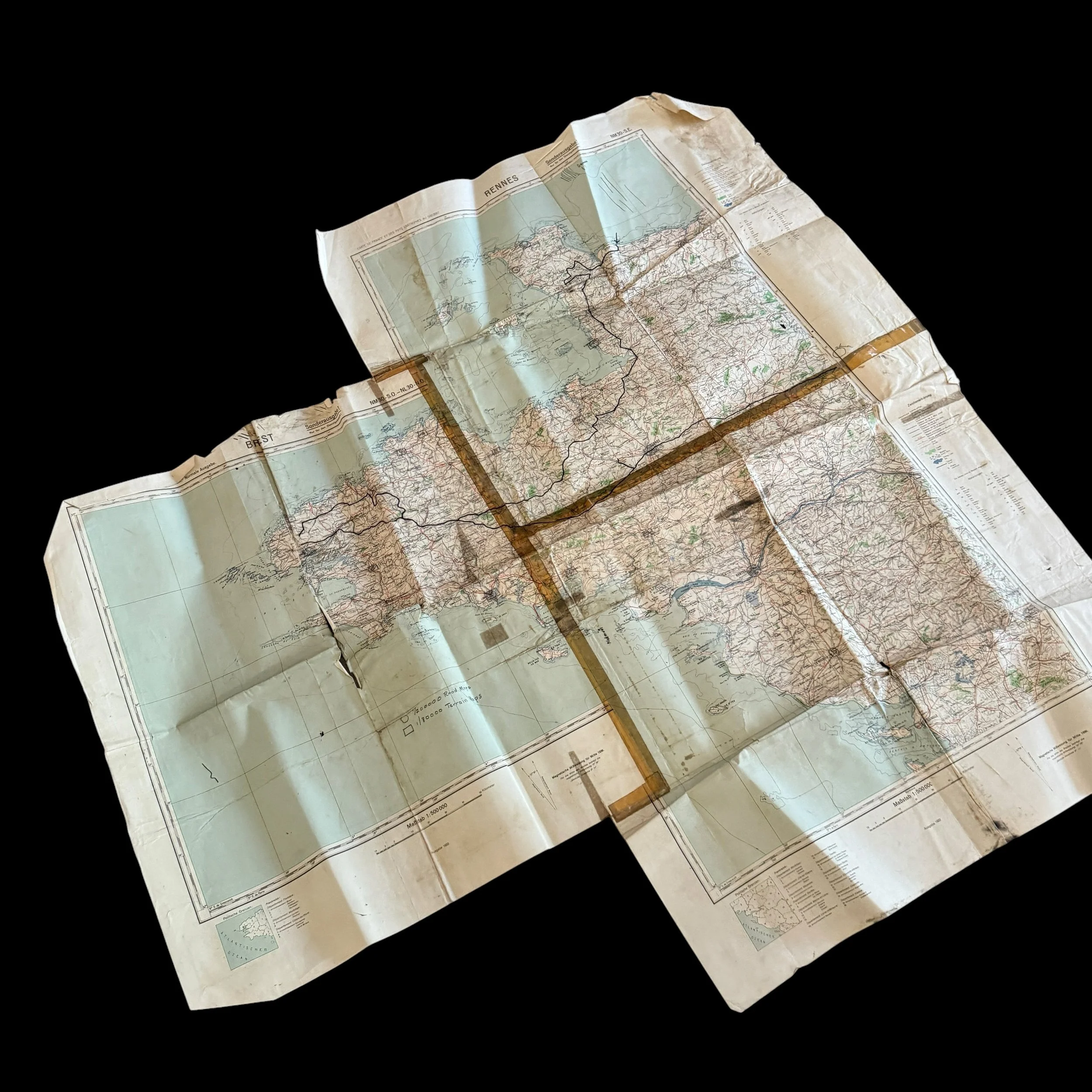
Omaha Beachhead (June 1944): Annotated with a prominent arrow pointing to Vierville-sur-Mer (Omaha Beach Dog Red / Charlie sectors) tracing the initial V Corps inland push toward Trévières and Route N.13.
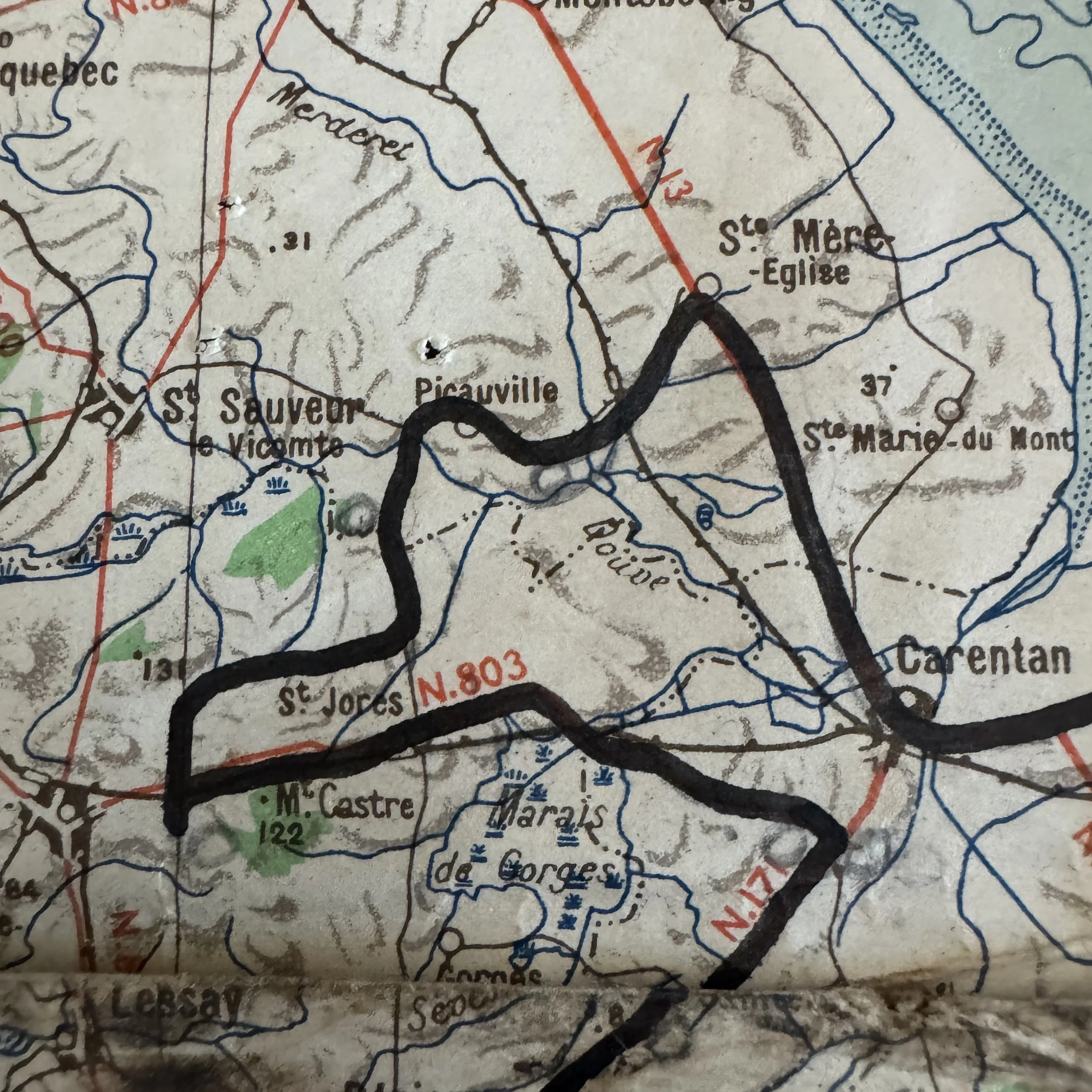
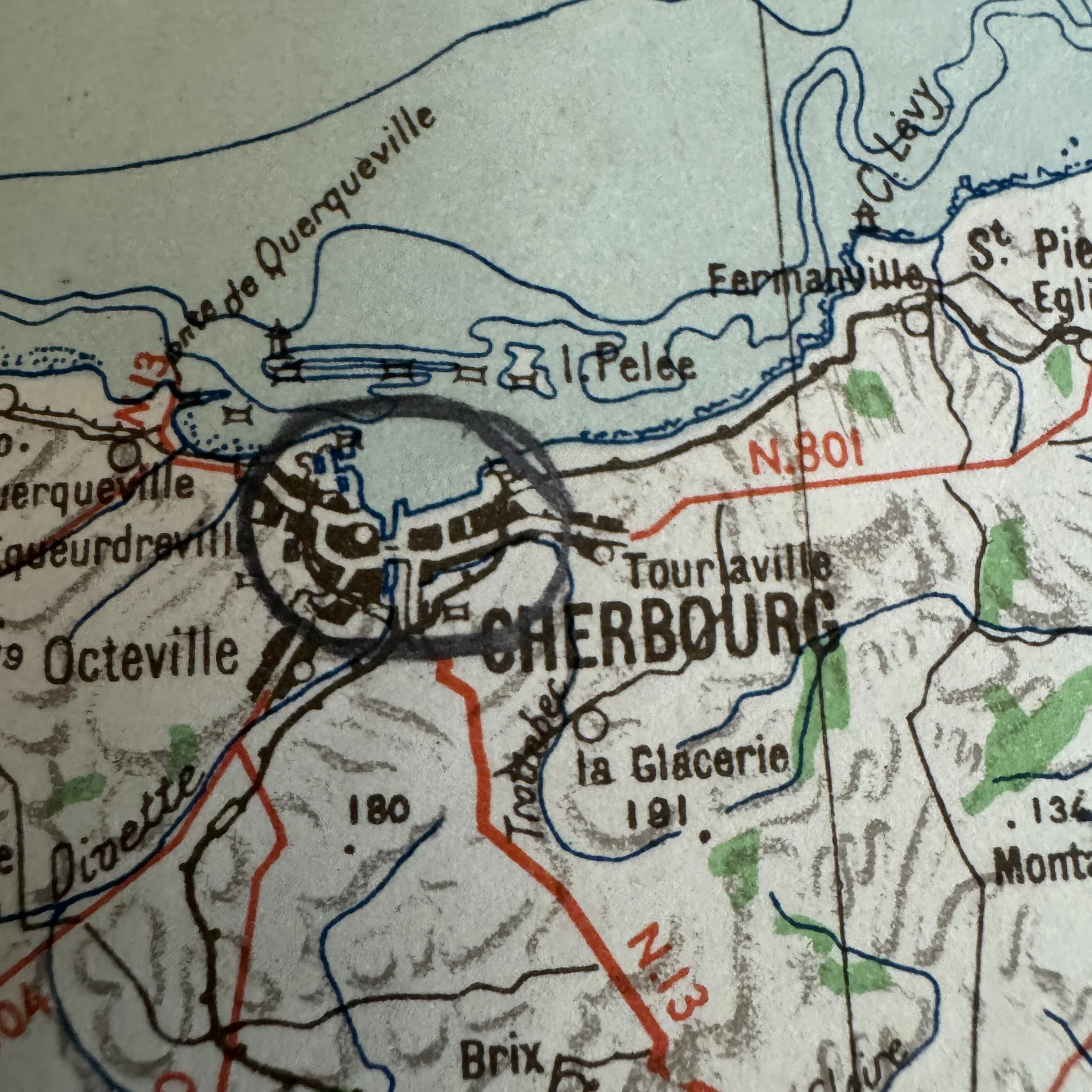
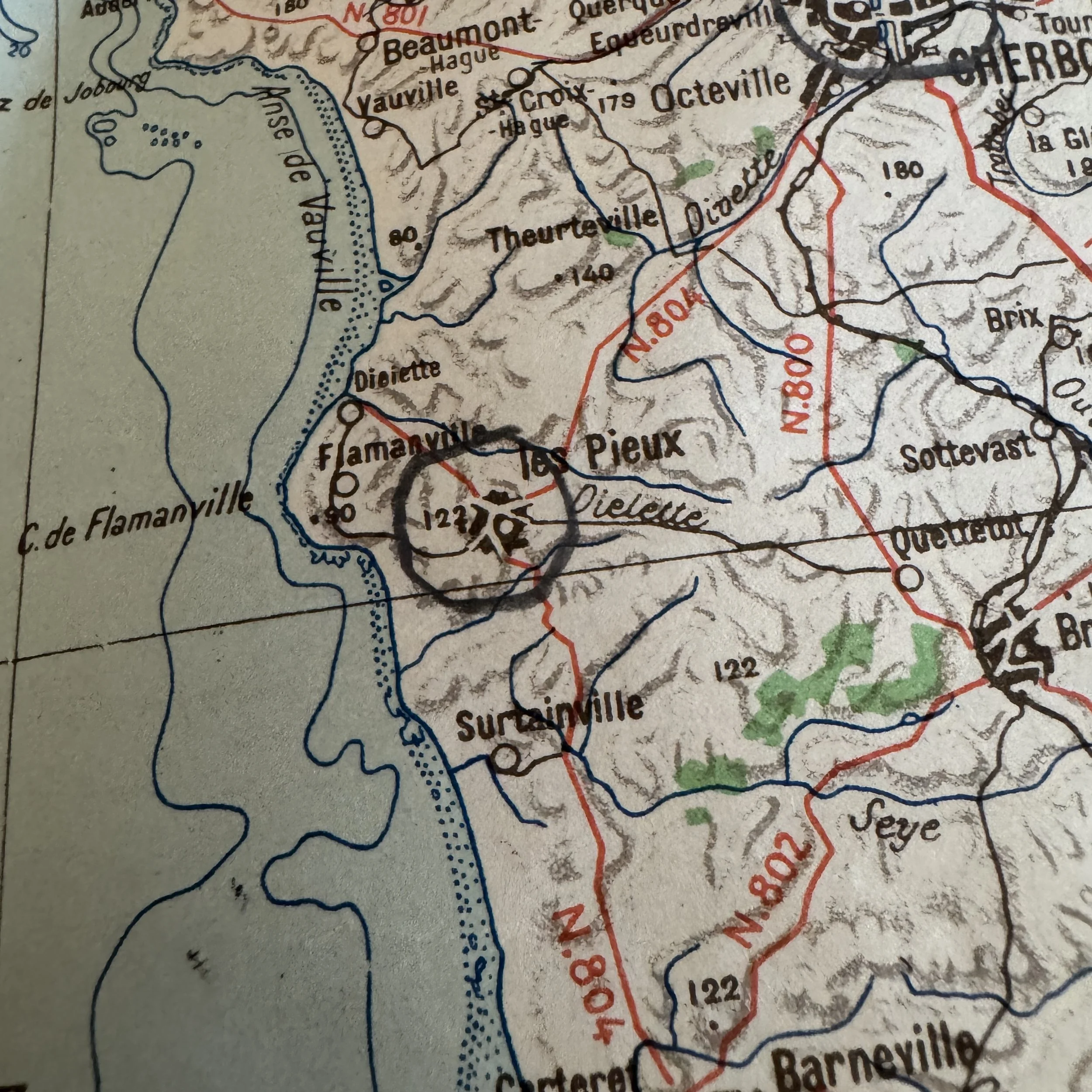
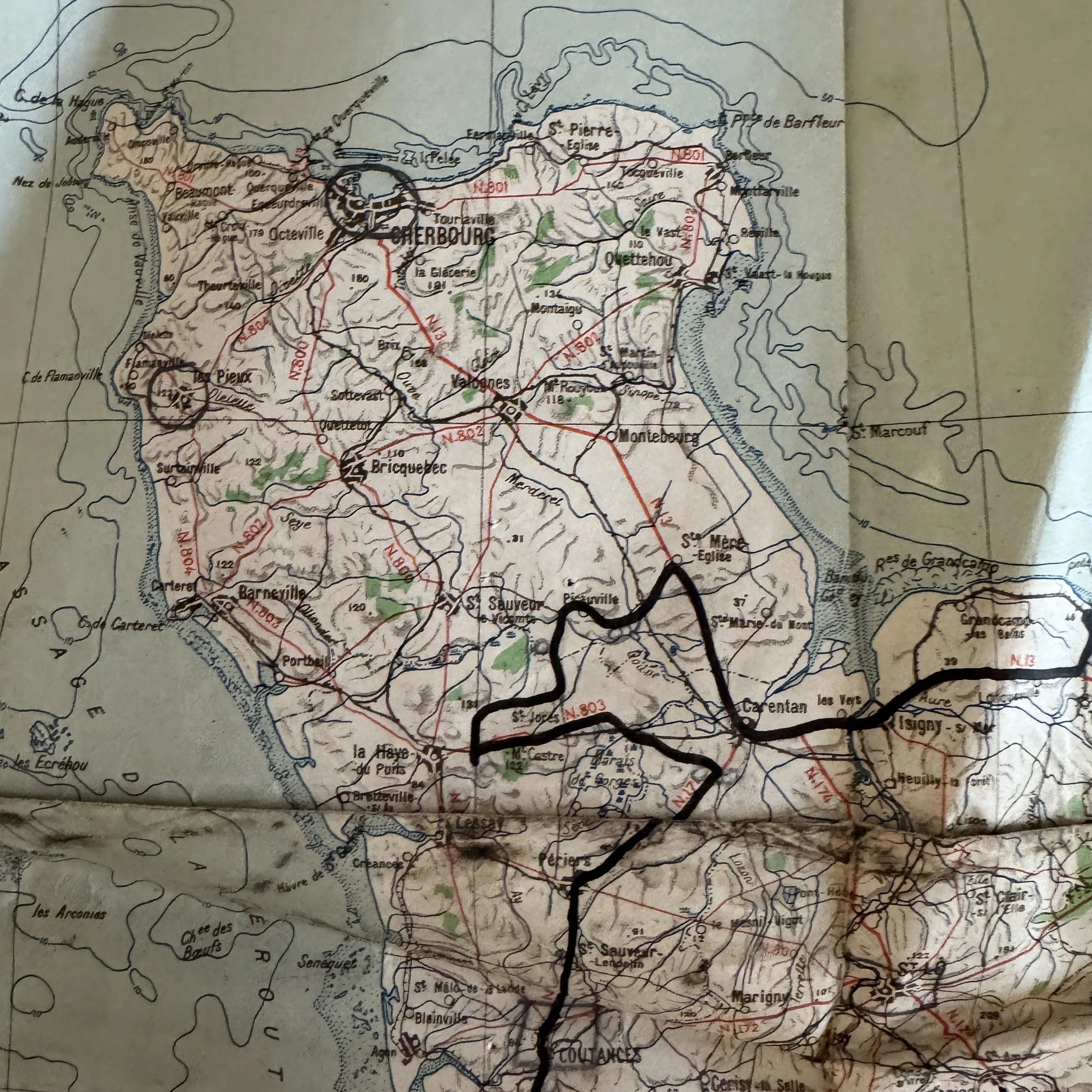
Cotentin Campaign (June 1944): Traces VII Corps' drive past Ste. Mère-Église, Valognes, and Montebourg, ending in a bold enclosure around Cherbourg to track the capture of its deep-water port on June 27.
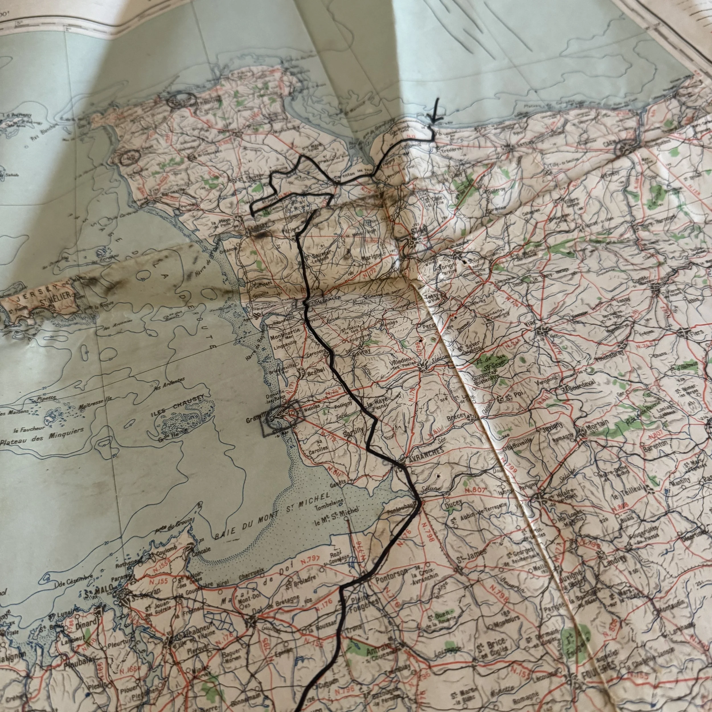
Hedgerow Fighting & Operation Cobra (July 1944): Outlines the grueling Bocage combat loops around St. Jores and Marais de Gorges, marking the staging lines for General Bradley's First Army breakout south of St. Lô on July 25.
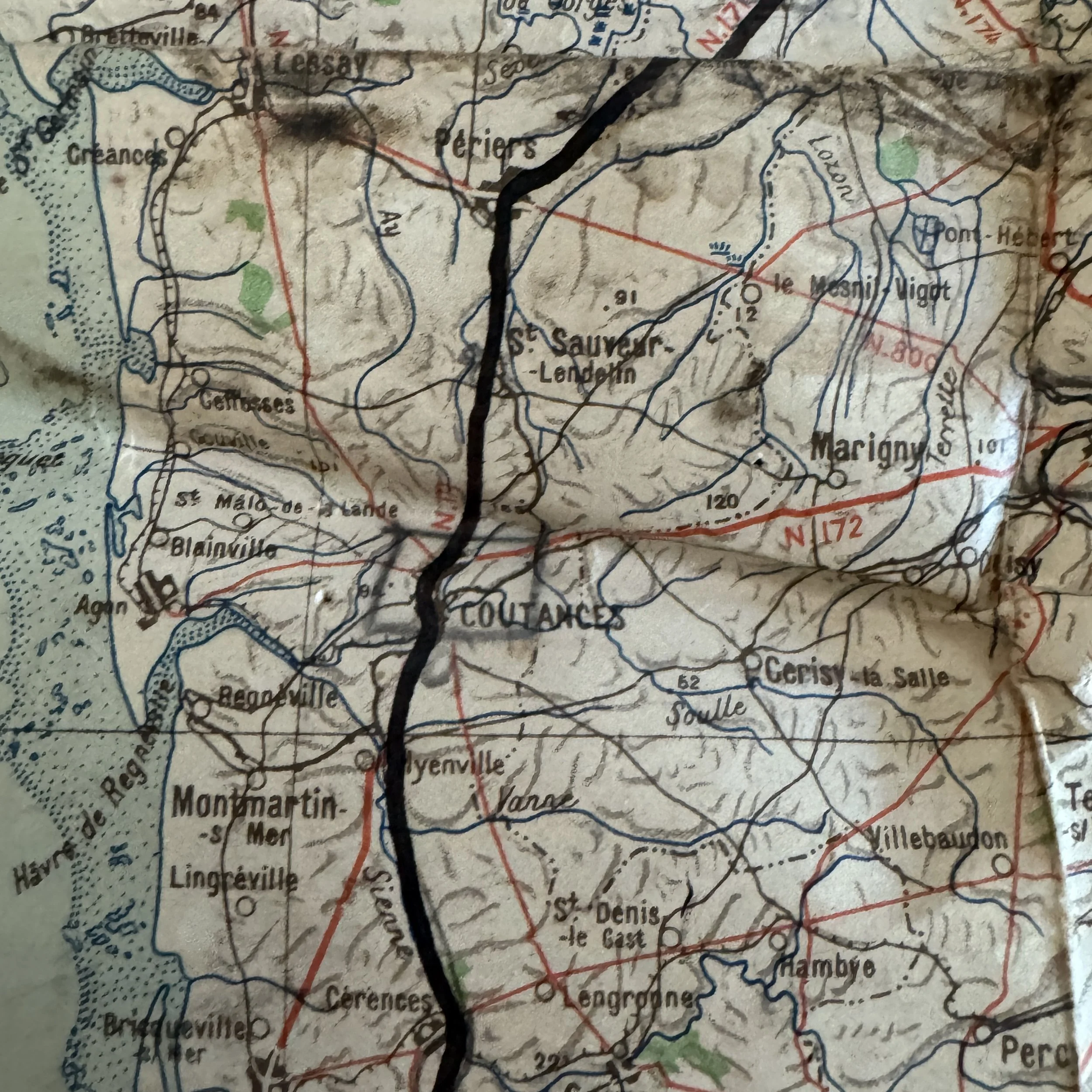
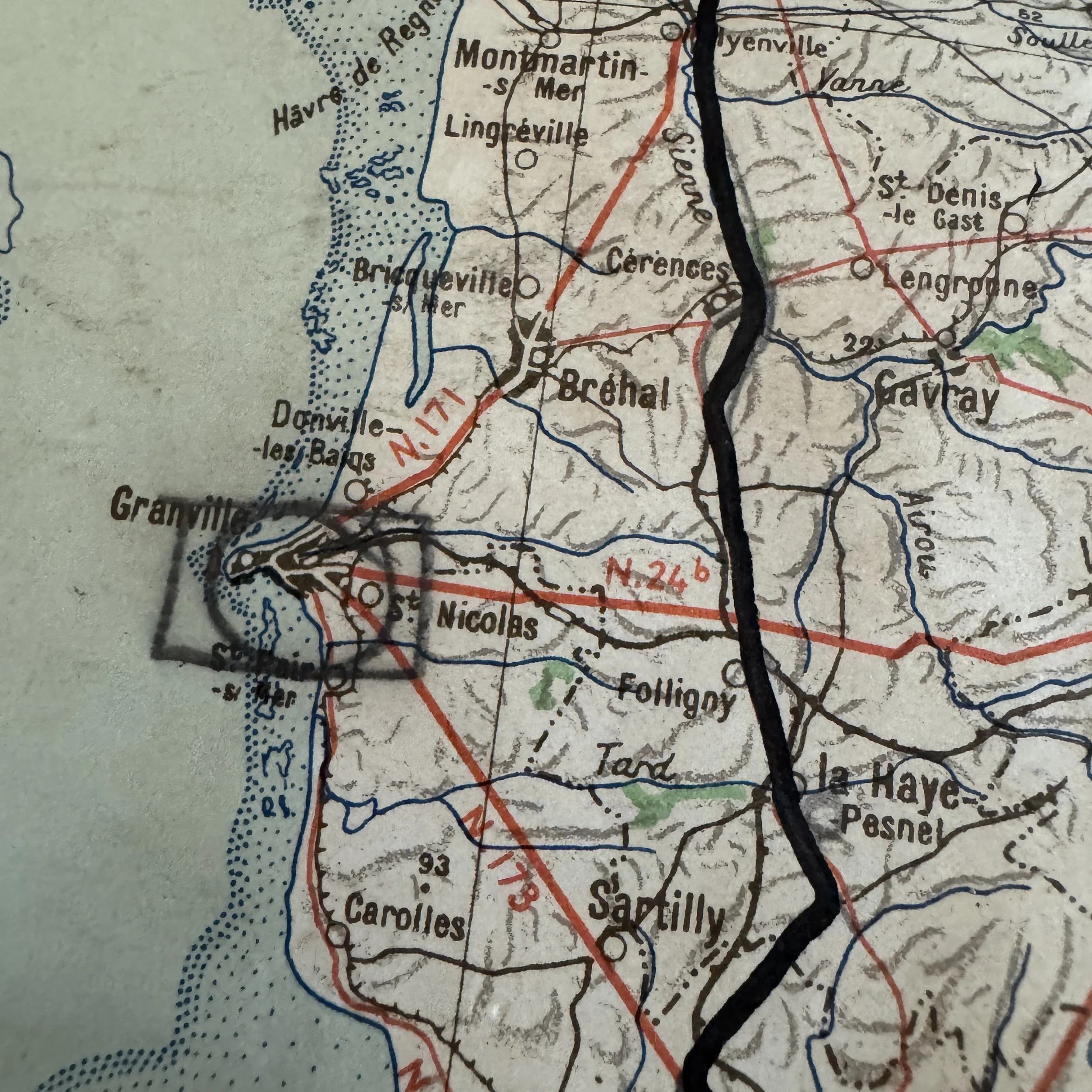
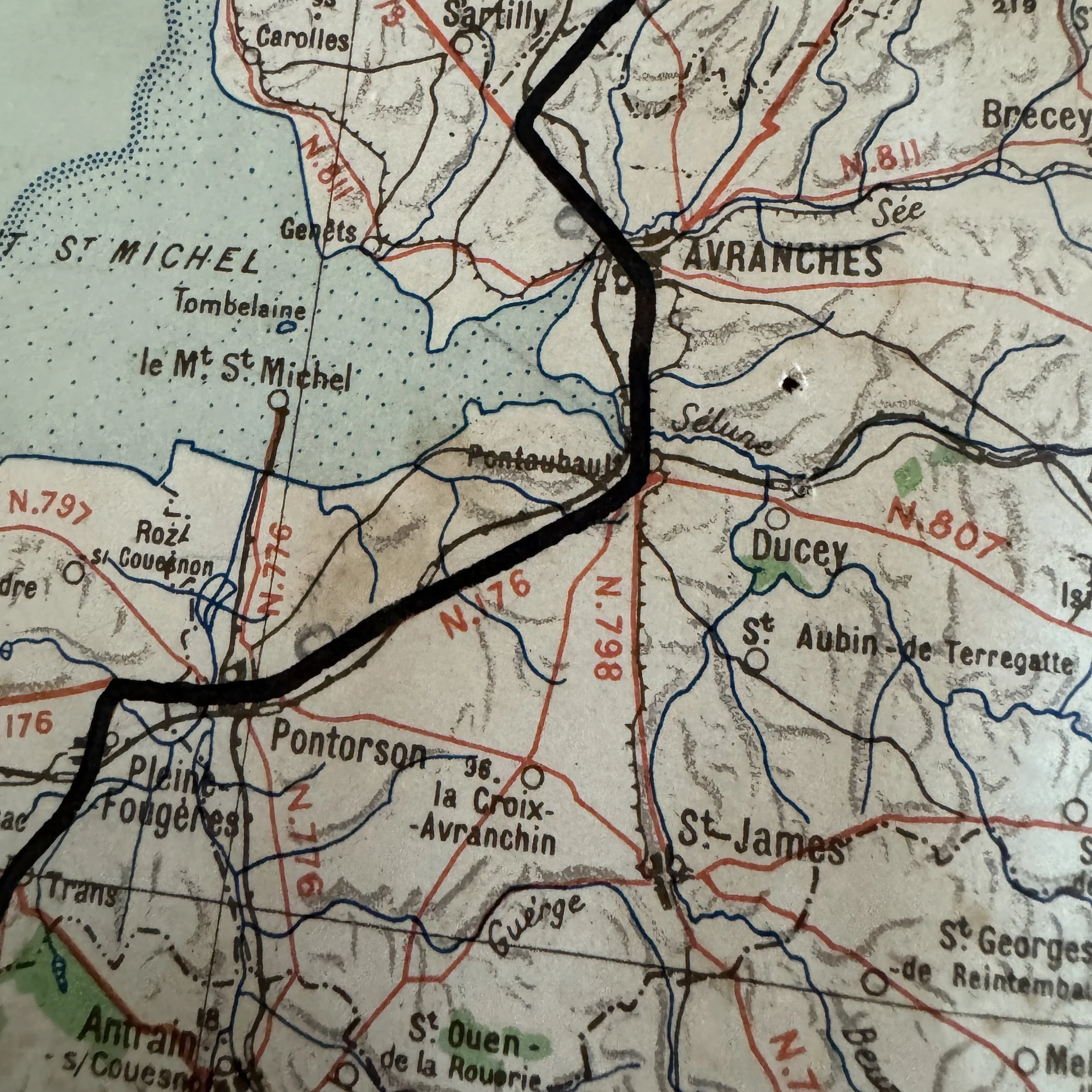
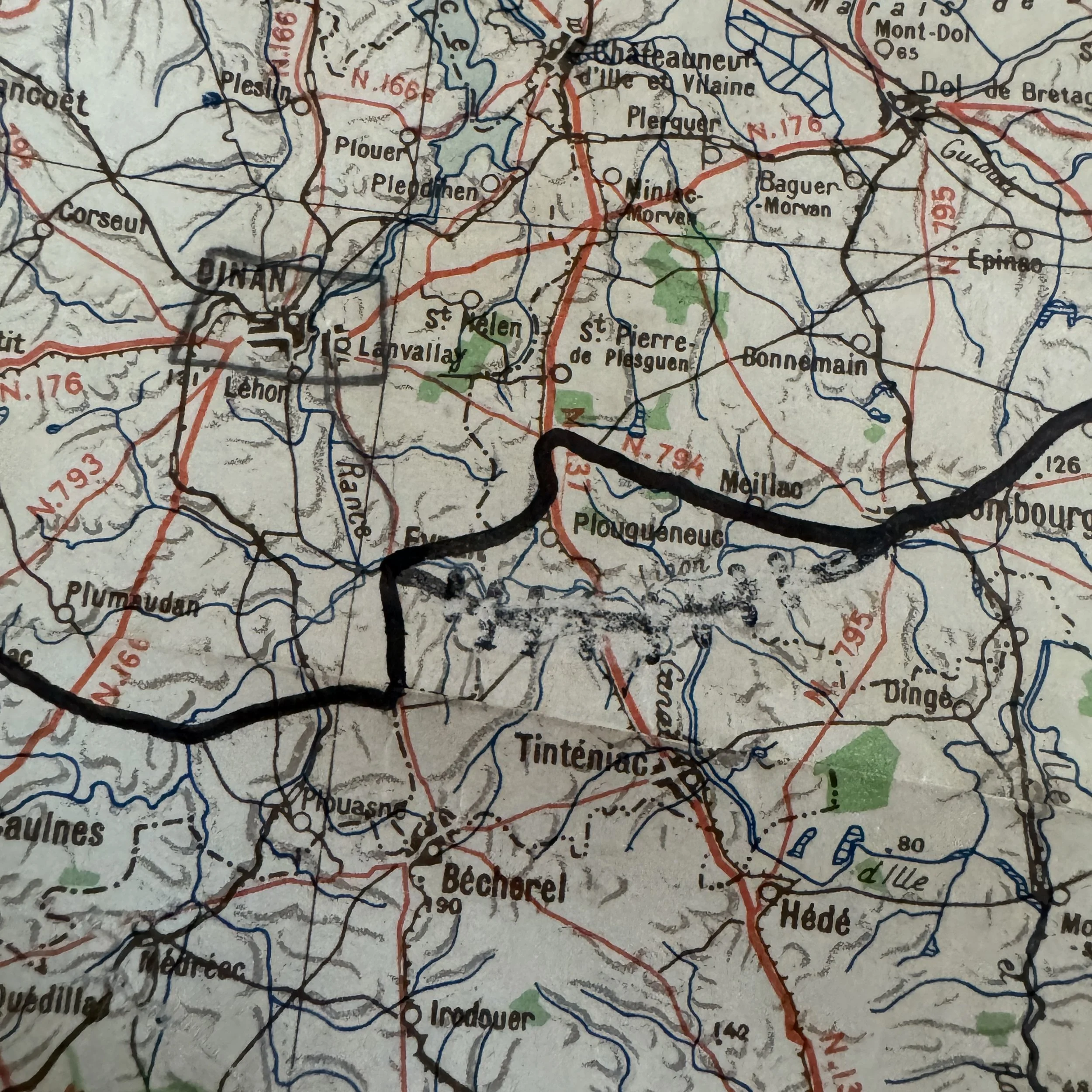
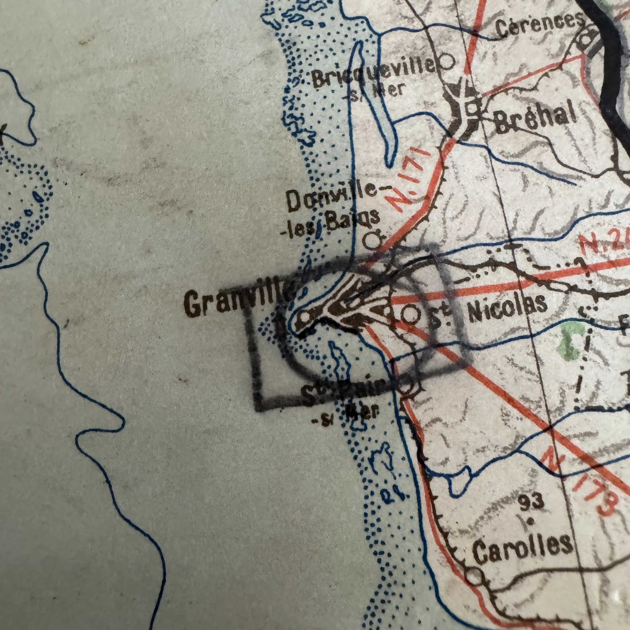
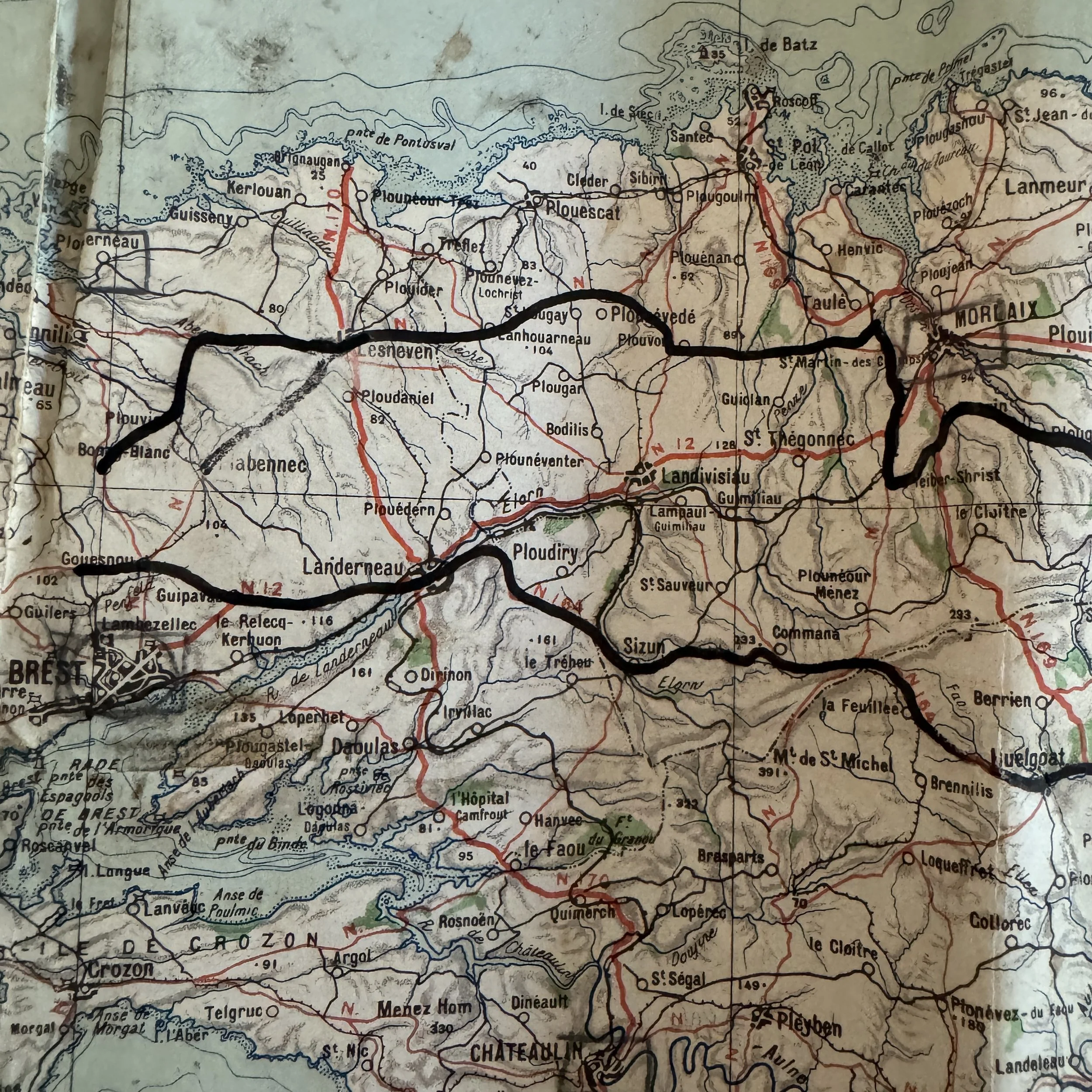
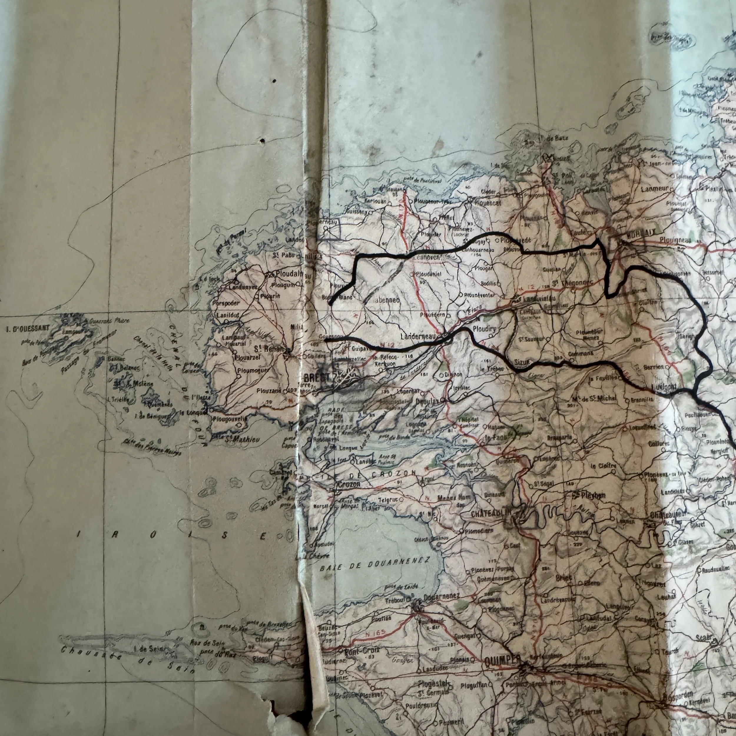
Brittany Sweep (August 1944): Plots the explosive drive of General Patton's Third Army through the Avranches corridor, sweeping past Coutances and Granville into Brittany toward Brest.
This extremely rare WWII D-Day (Operation Overlord) & Operation Cobra artifact is an original, heavily utilized World War II American used German combat map that bridges enemy intelligence and American tactical ingenuity during the summer of 1944.
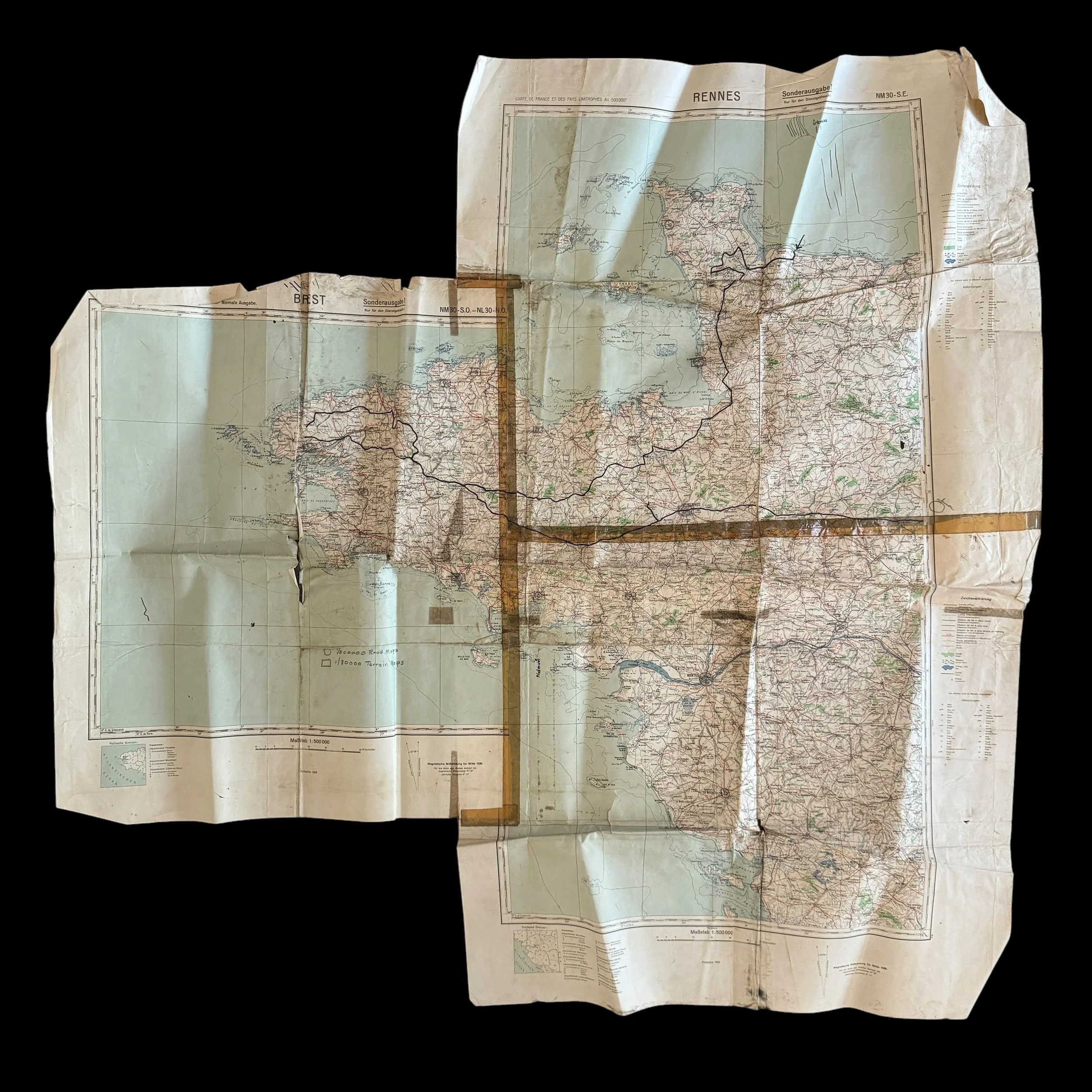
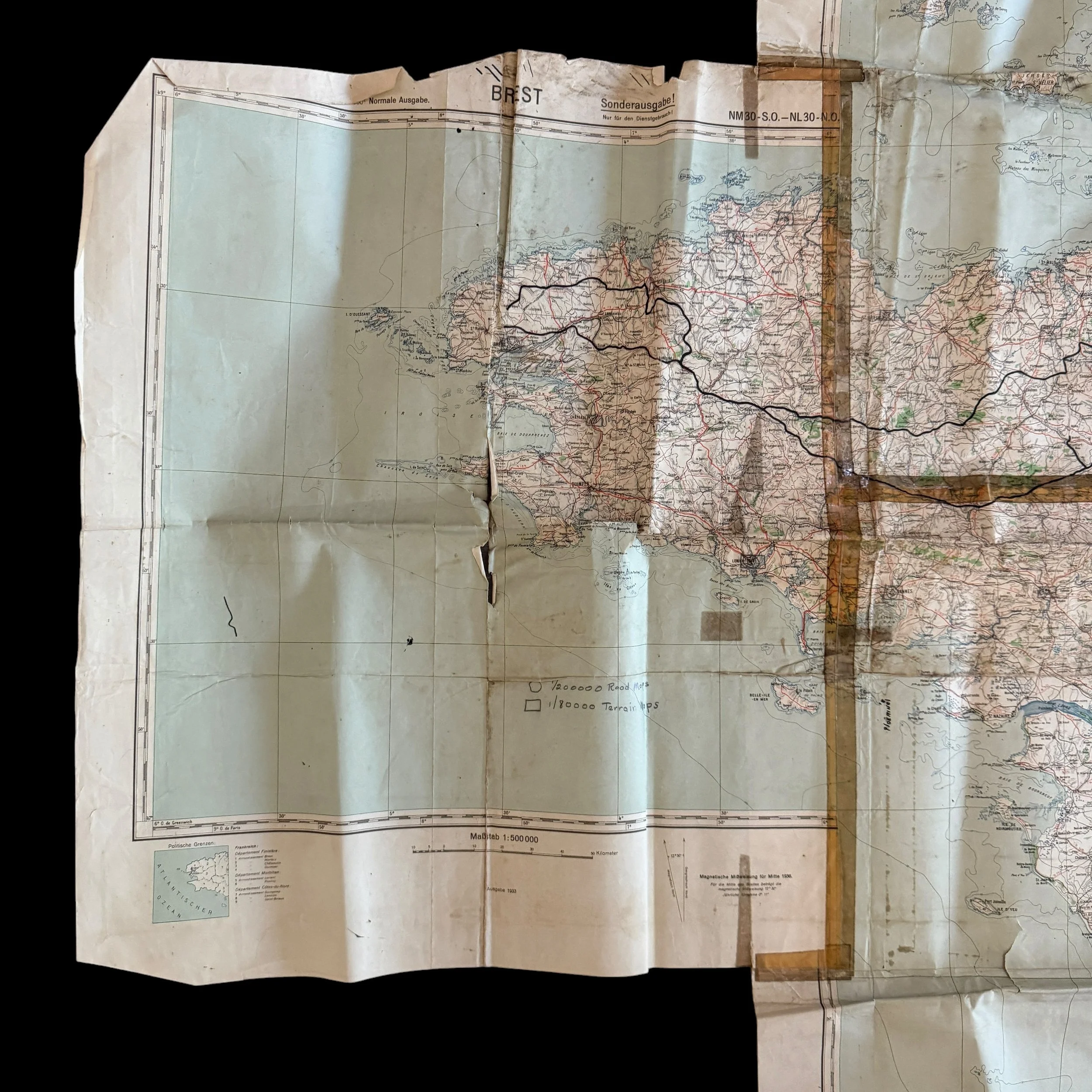
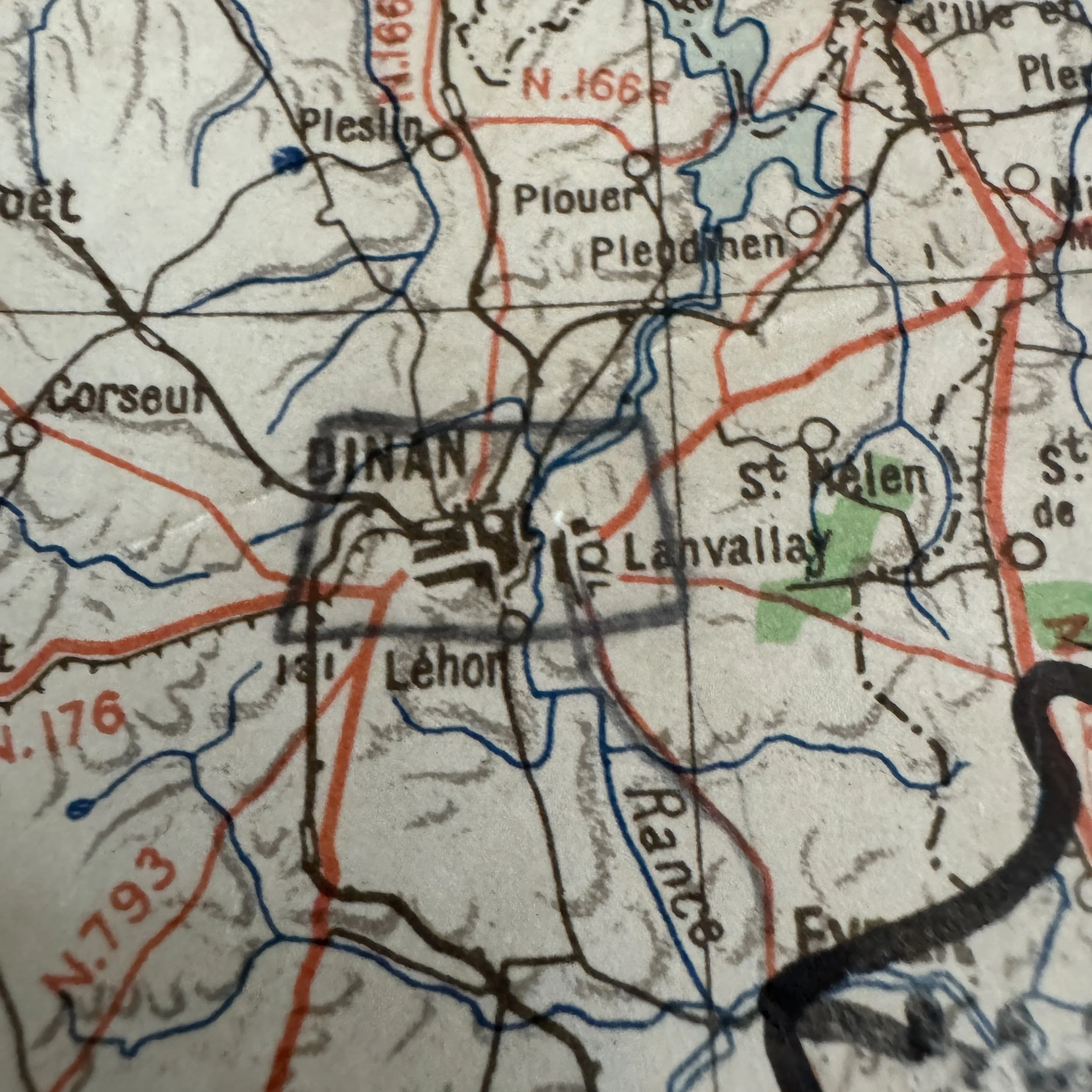
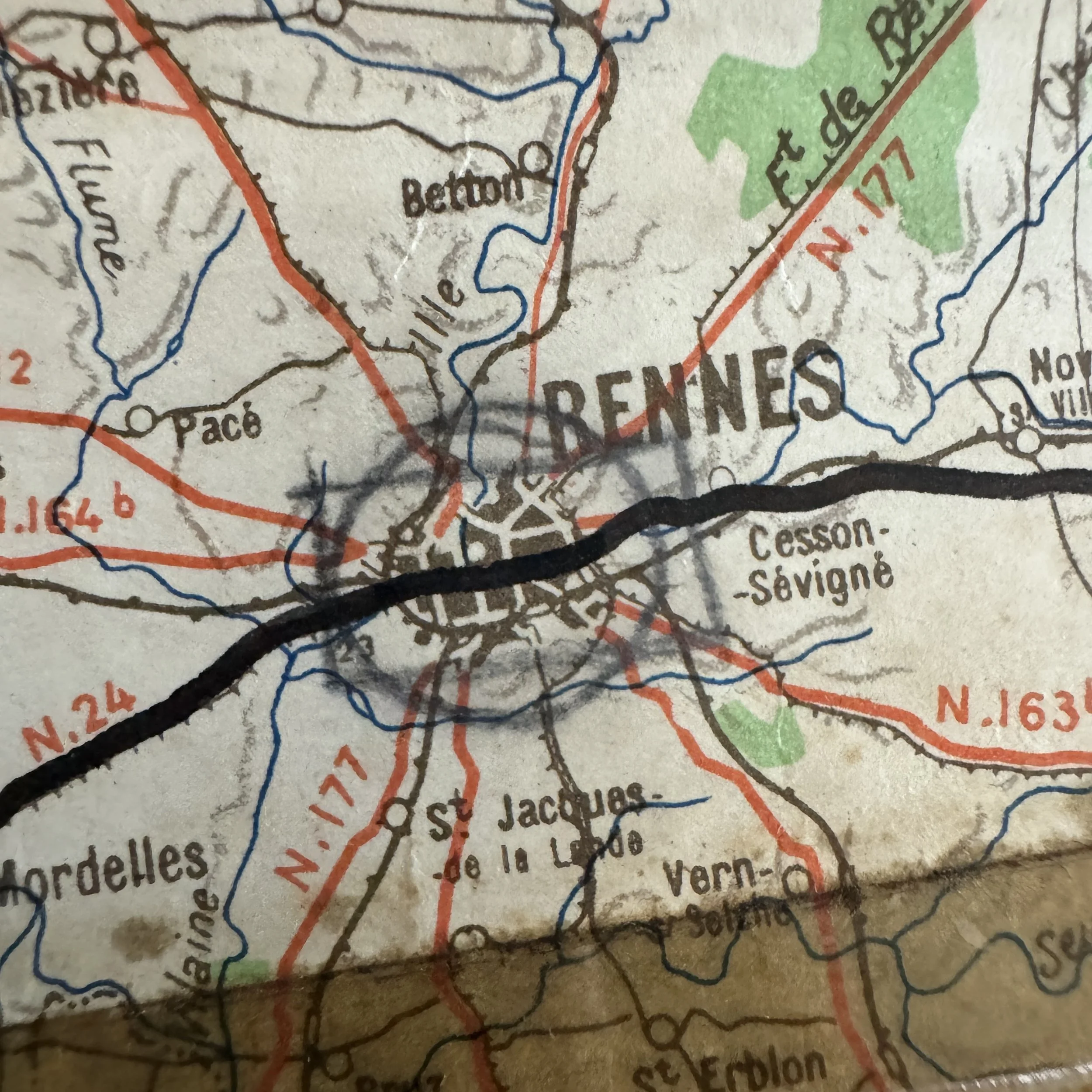
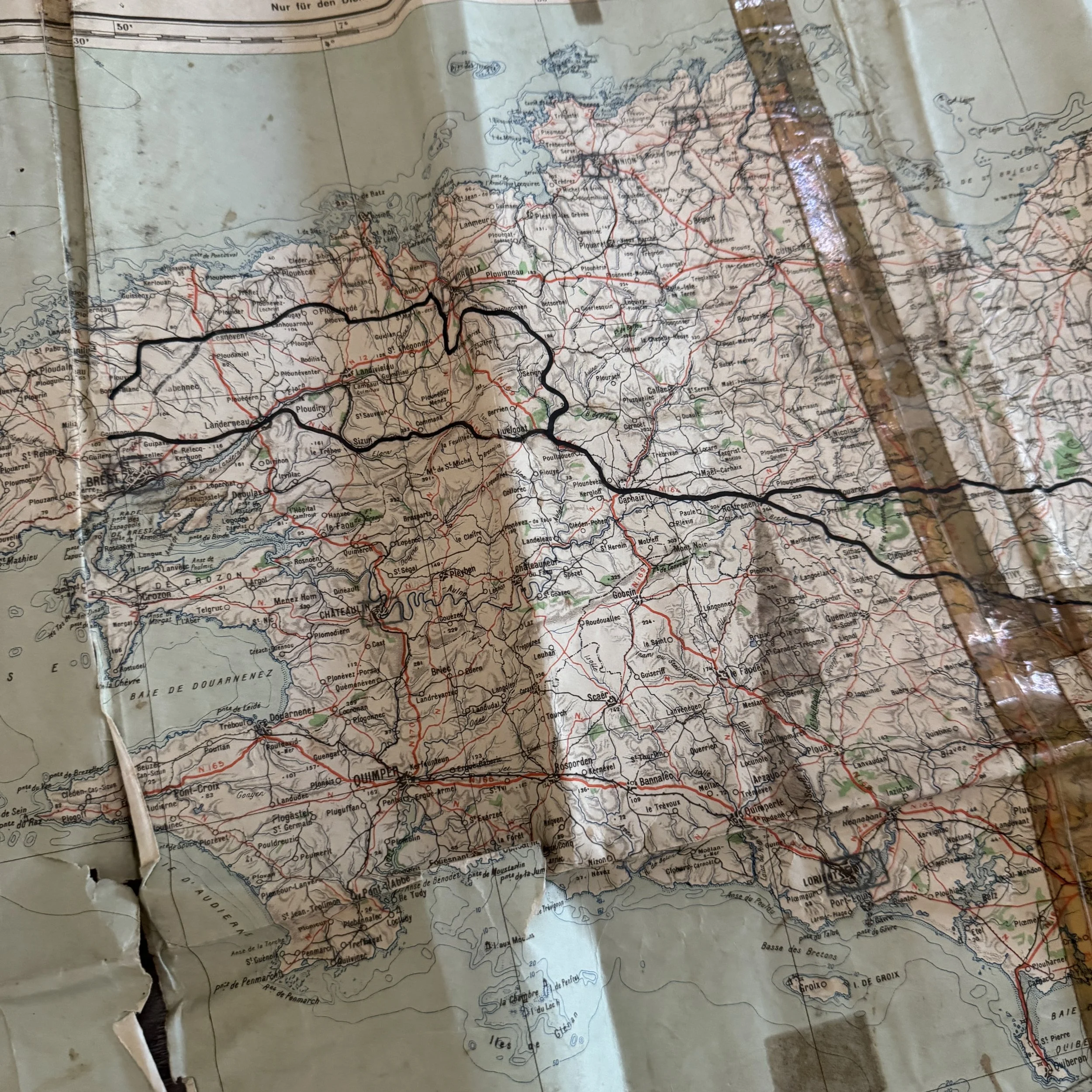
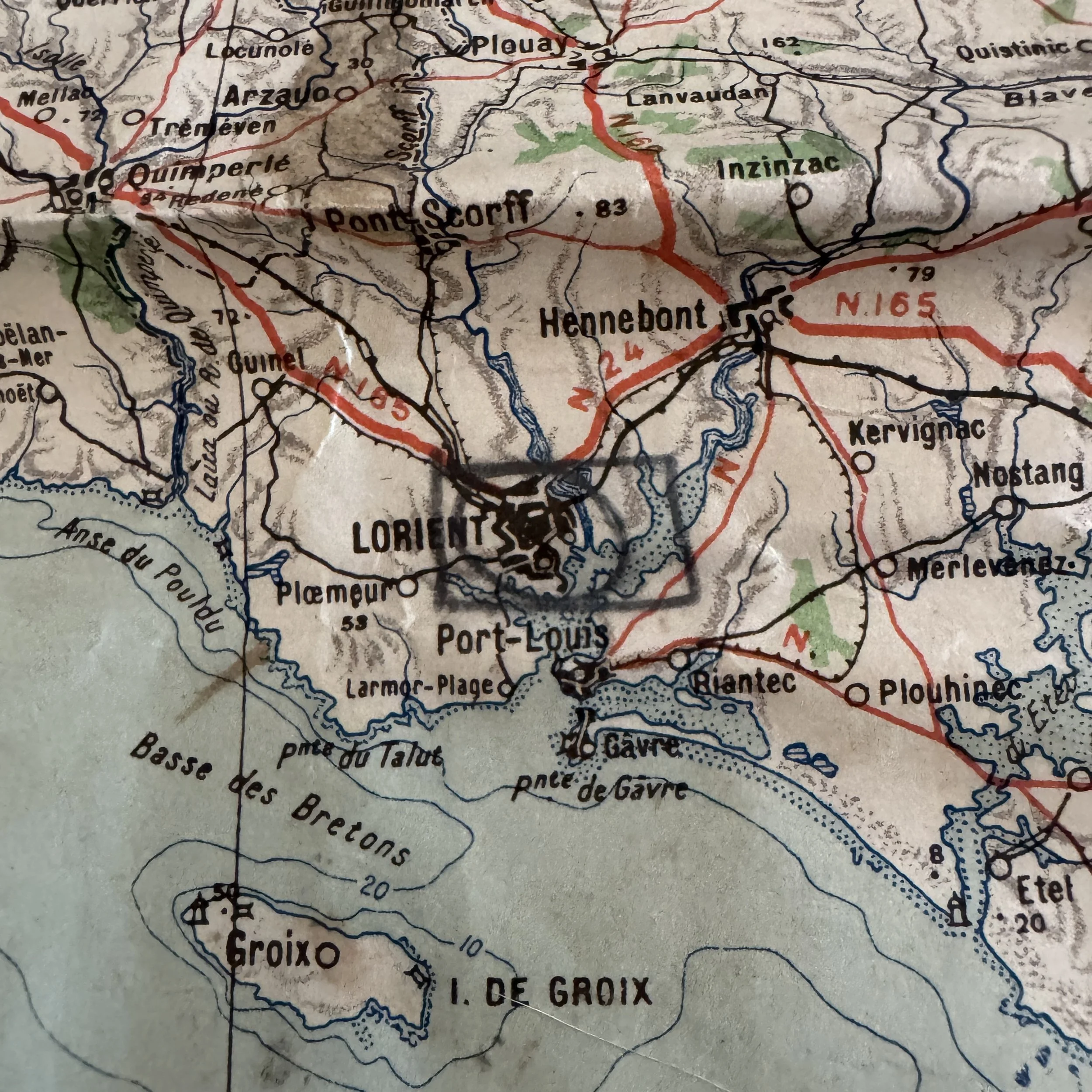
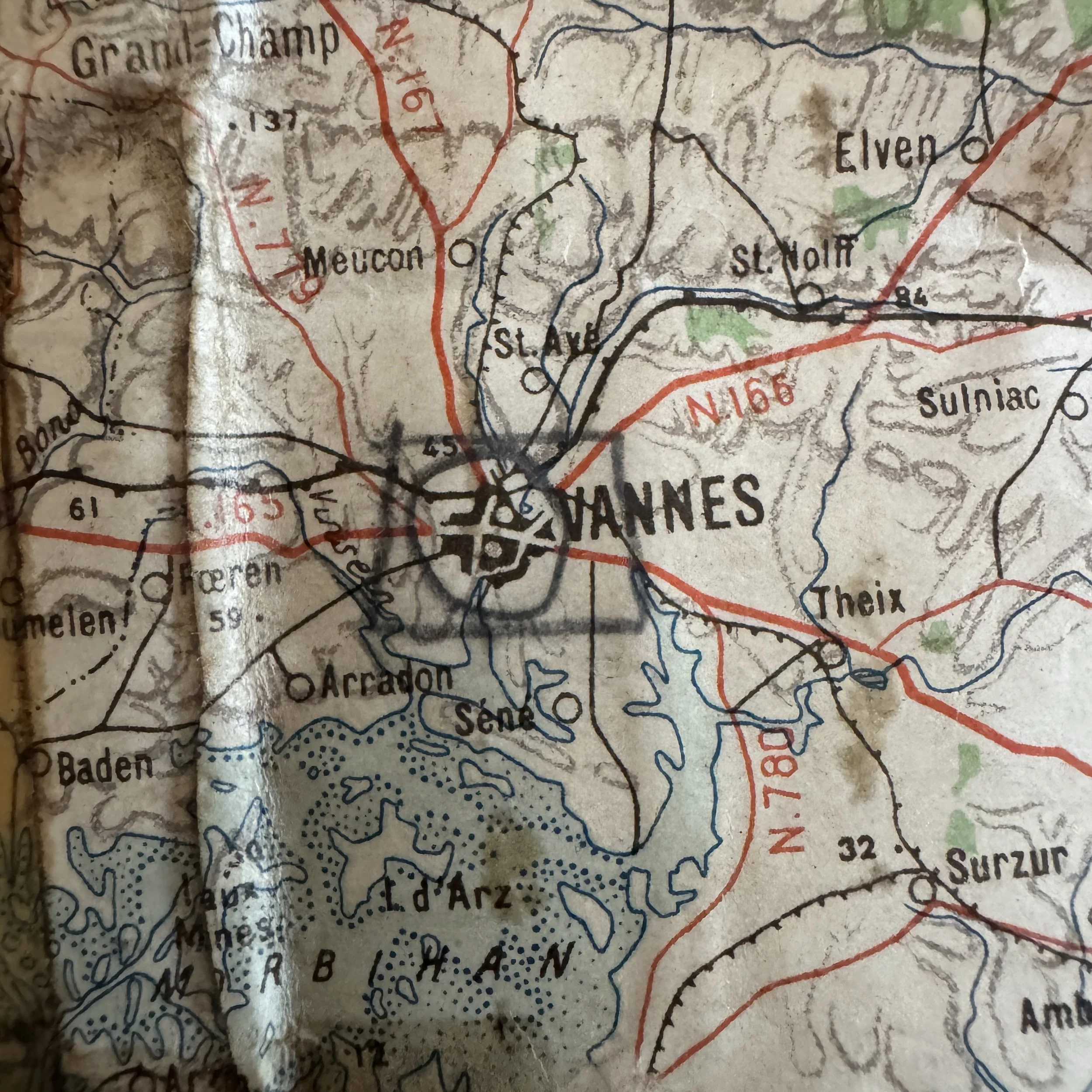
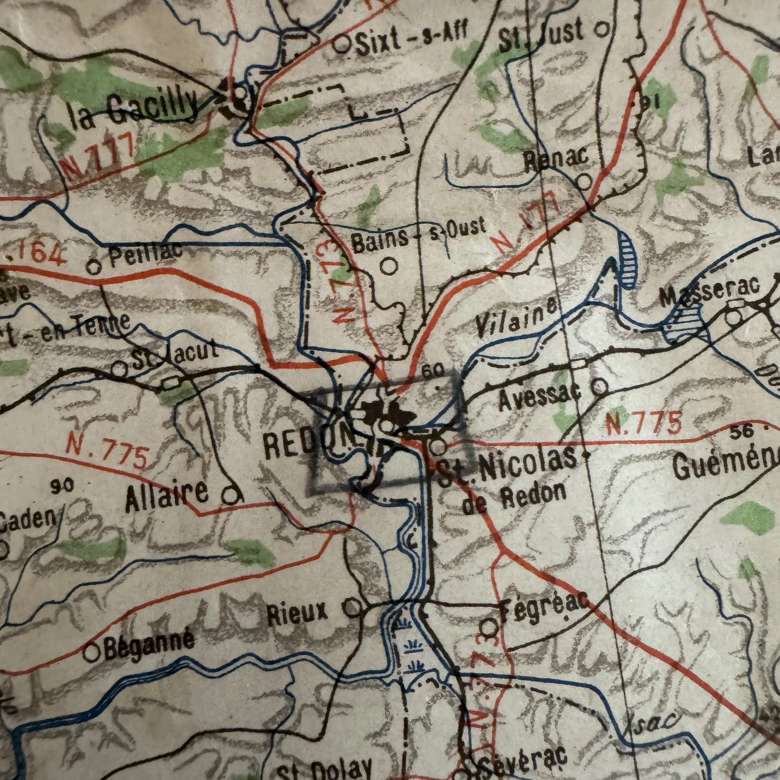
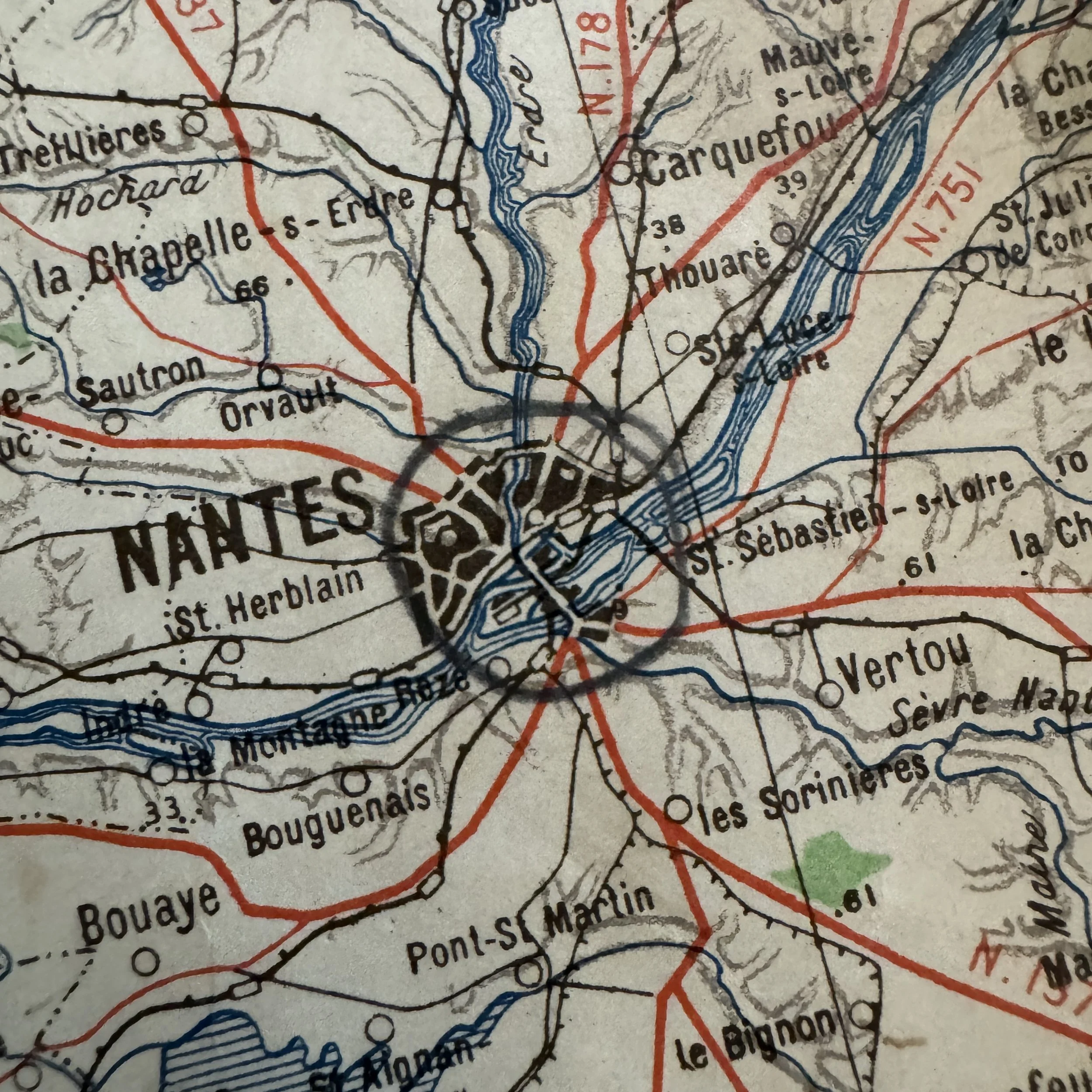
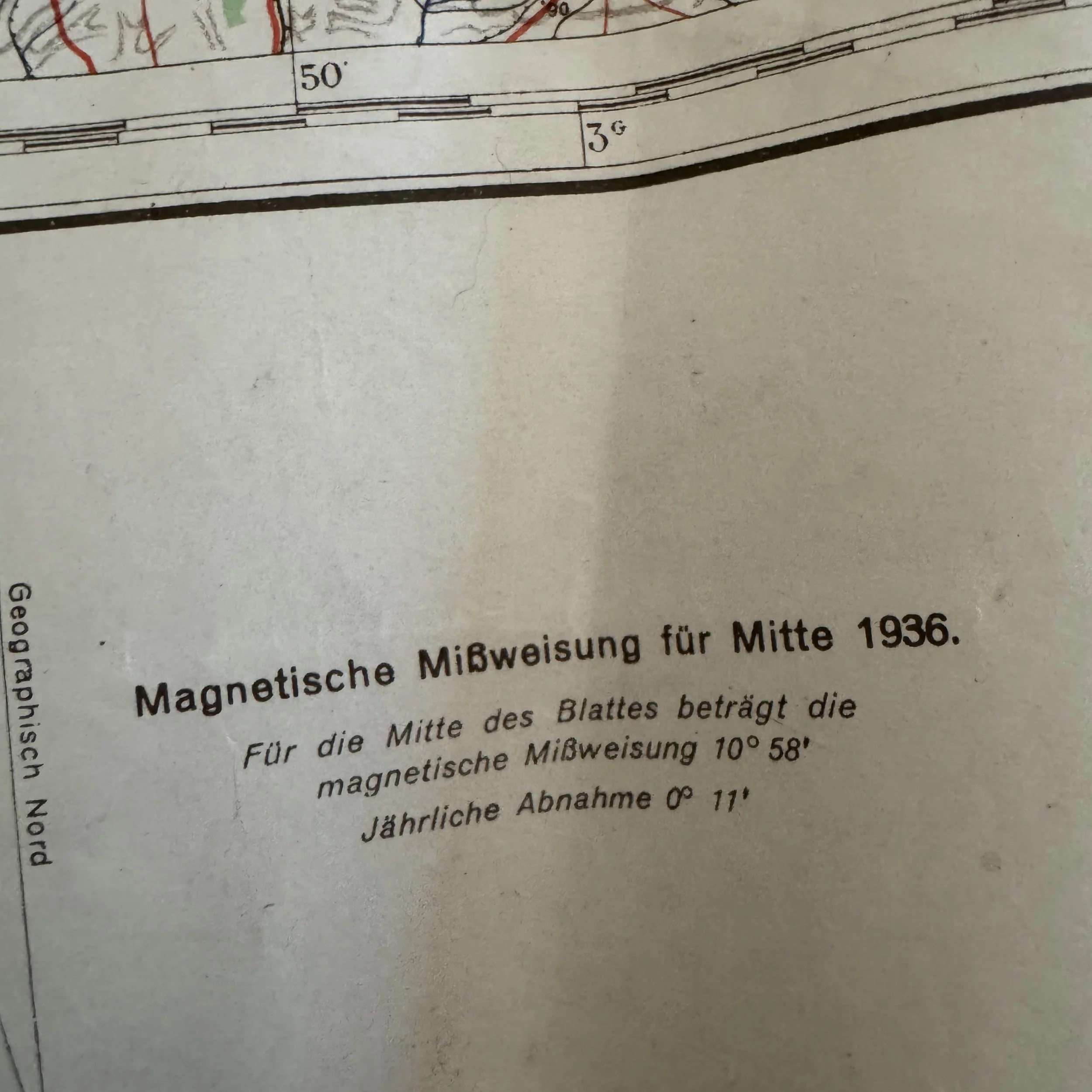
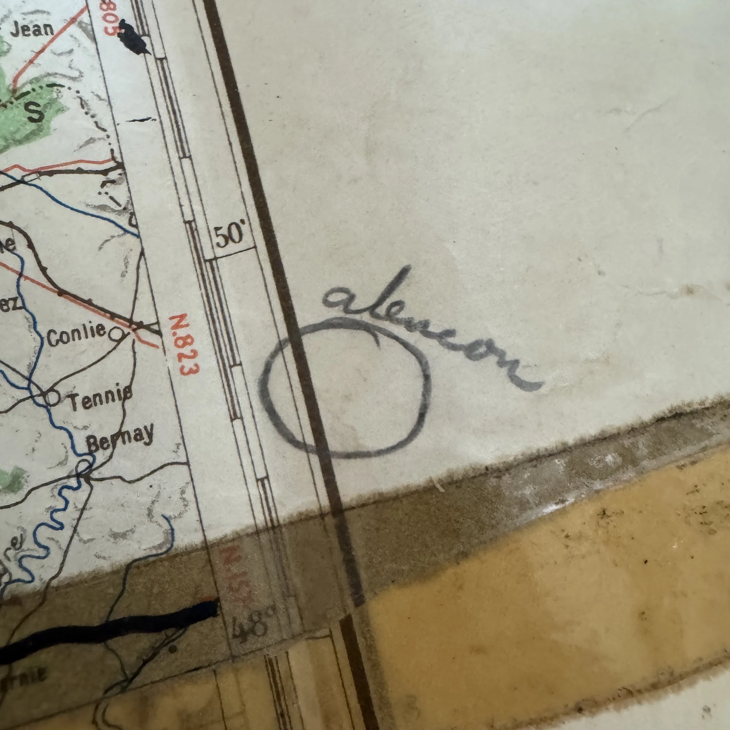
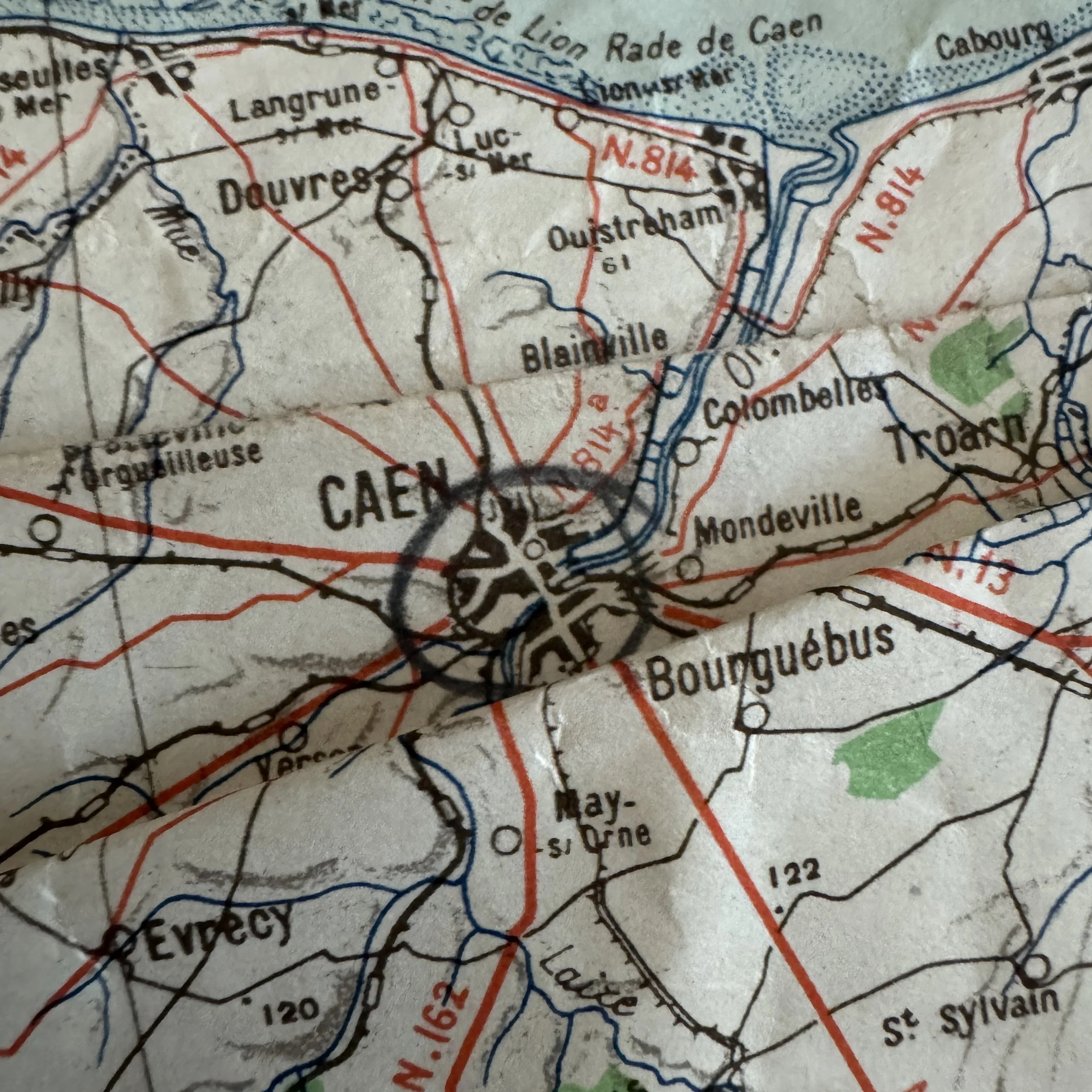
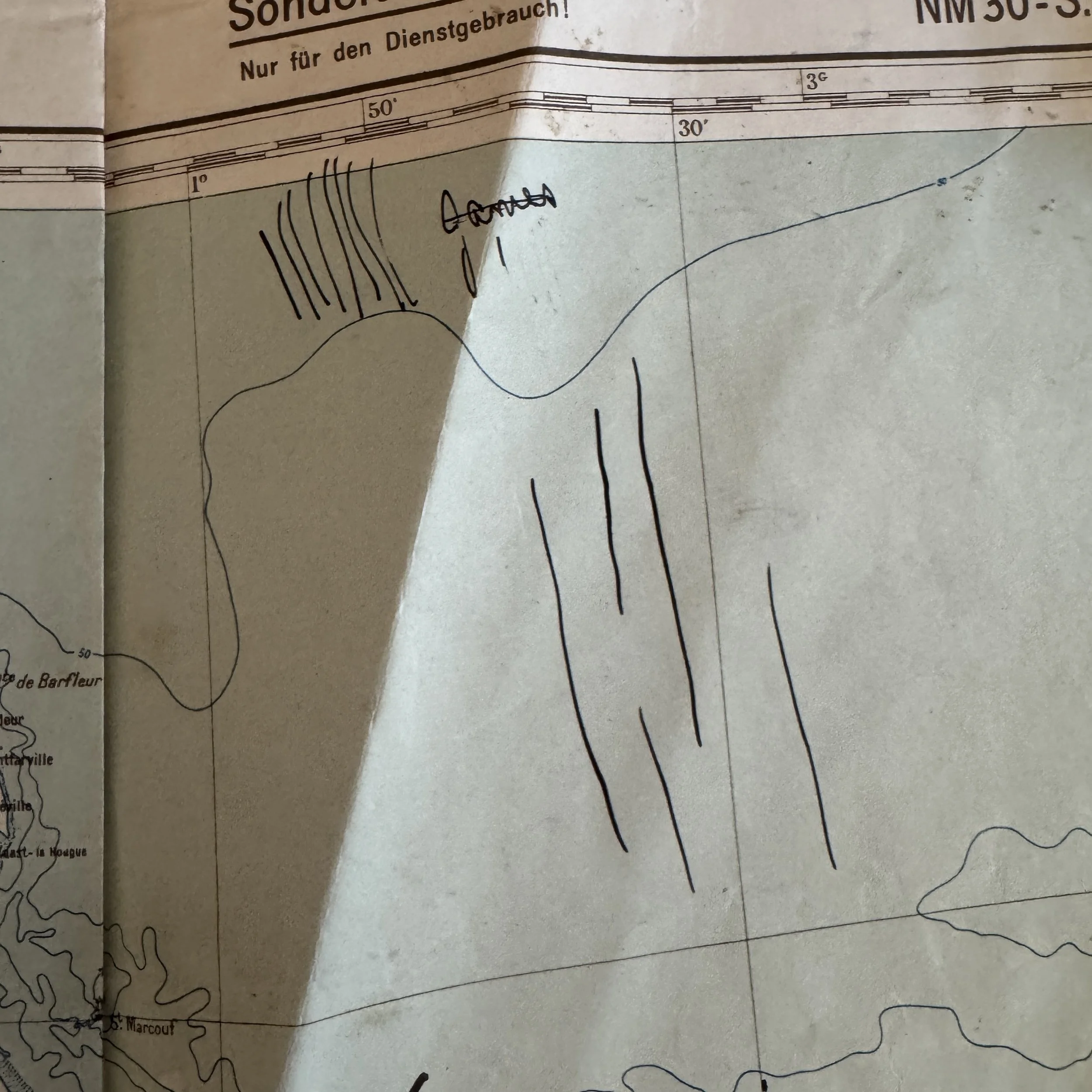
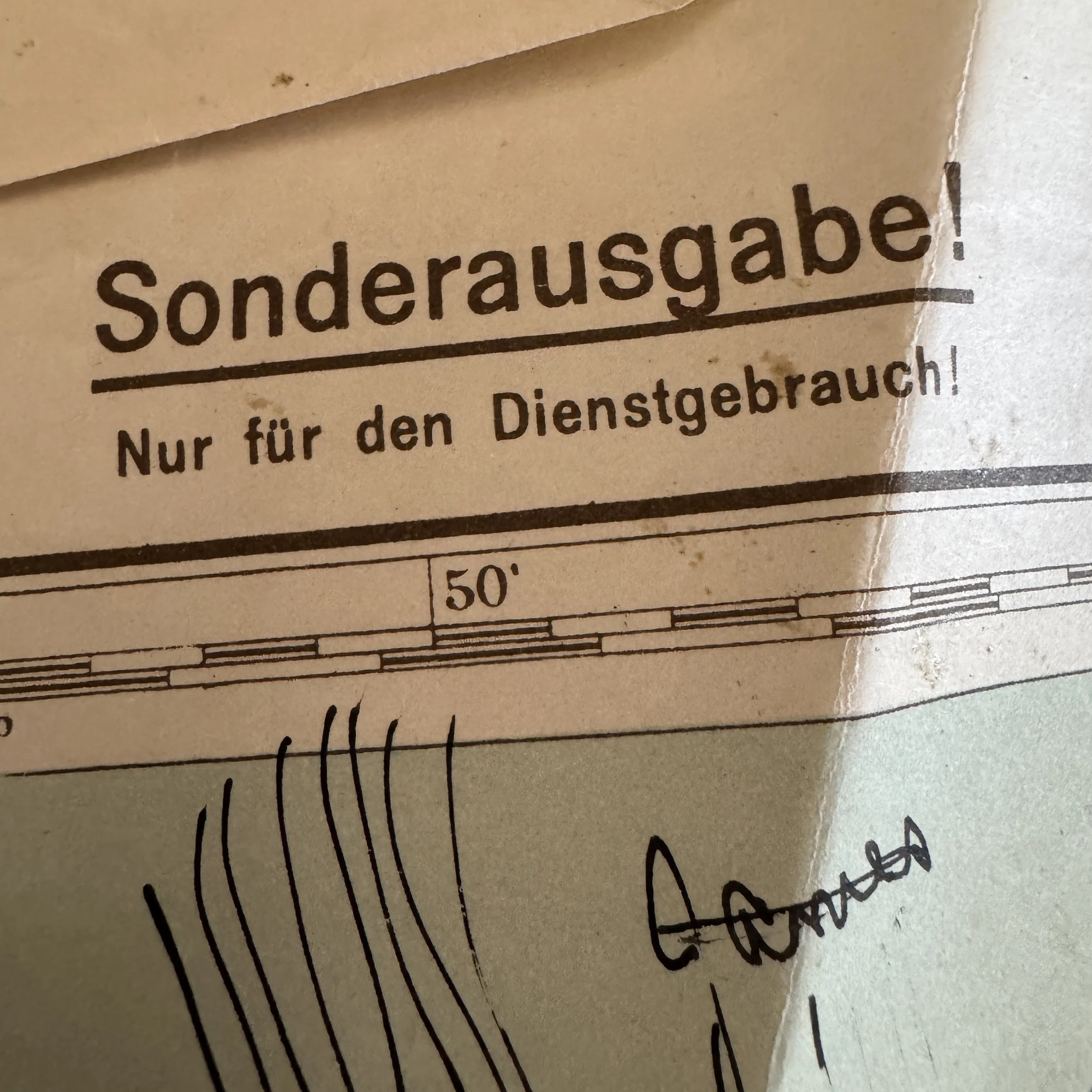
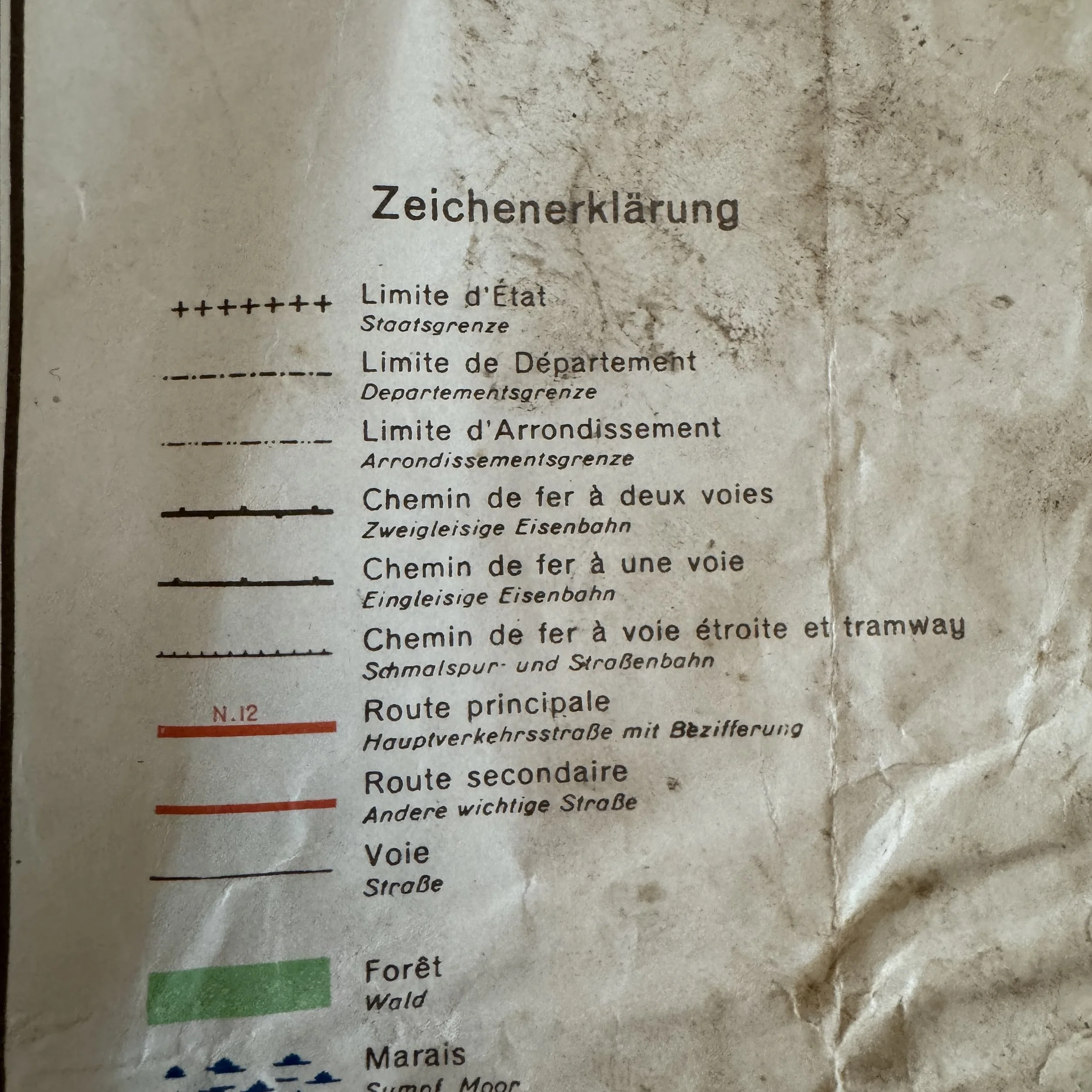
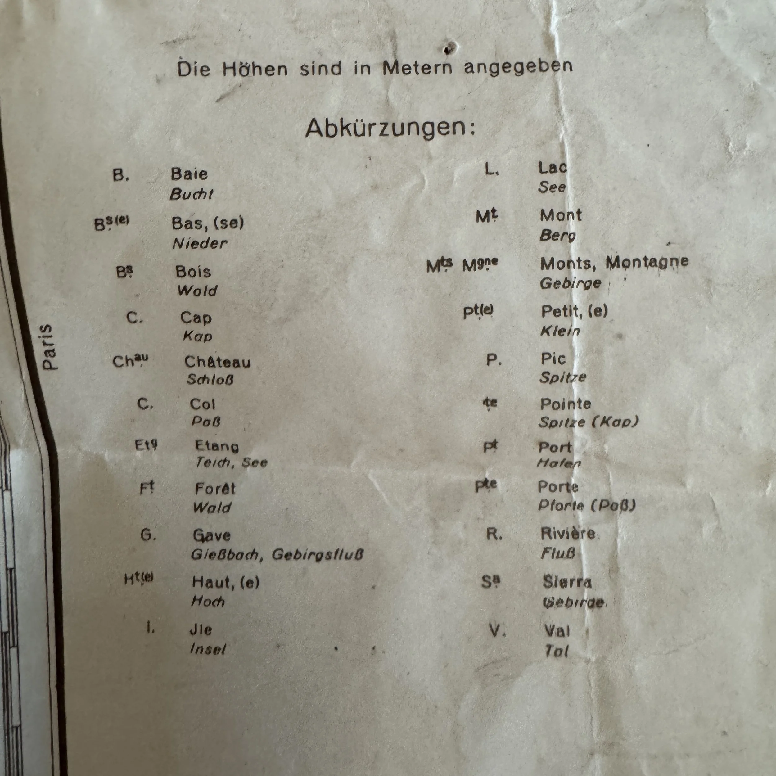
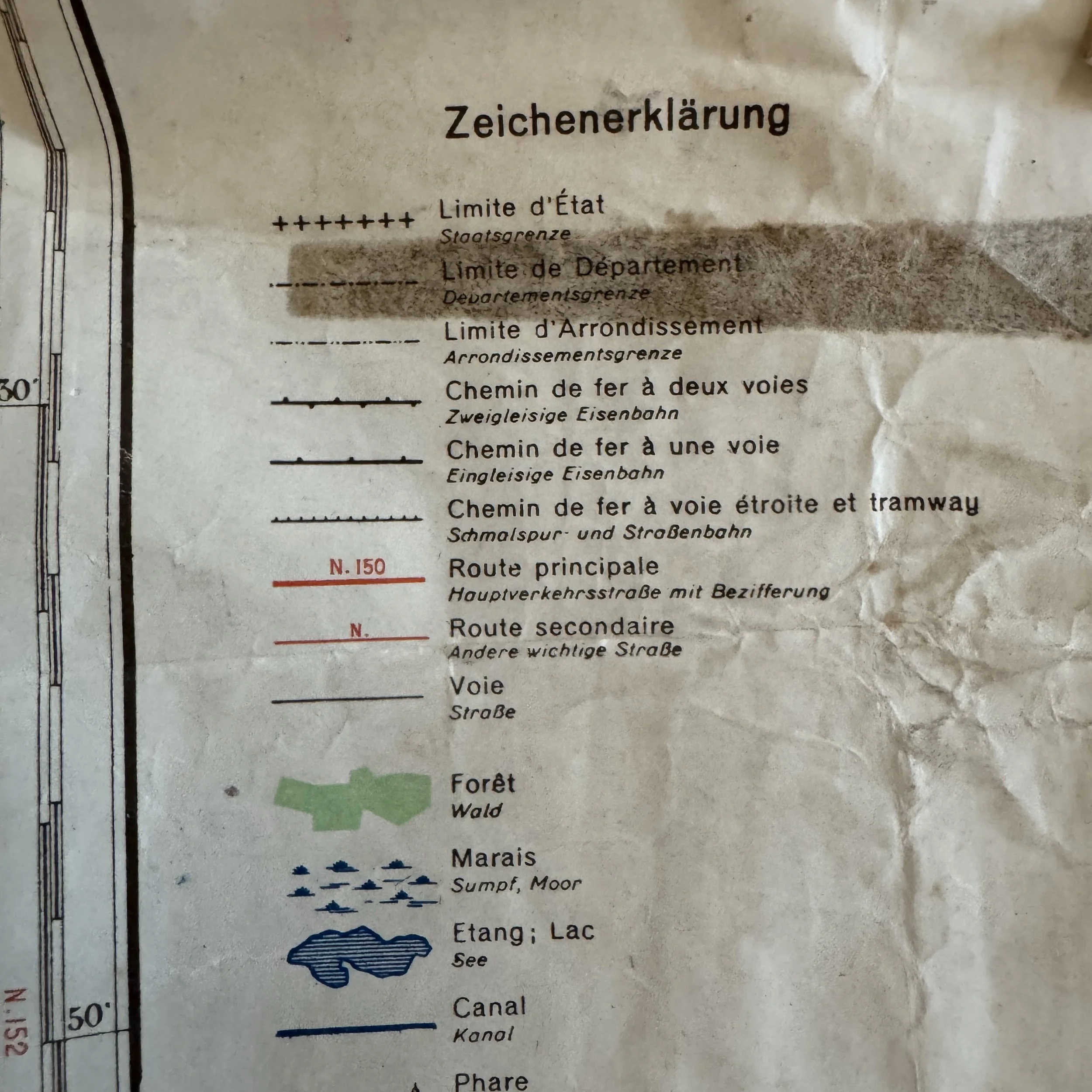
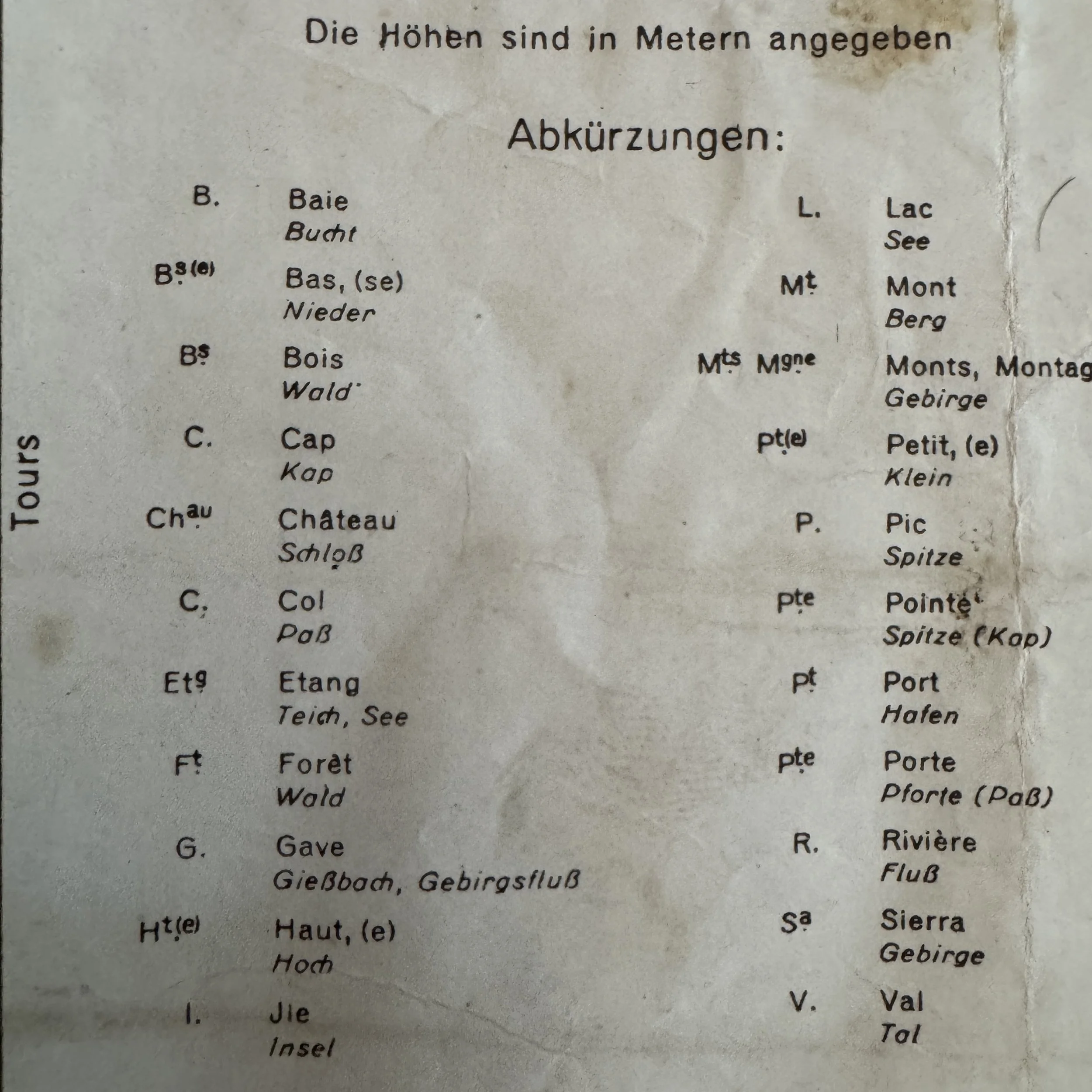
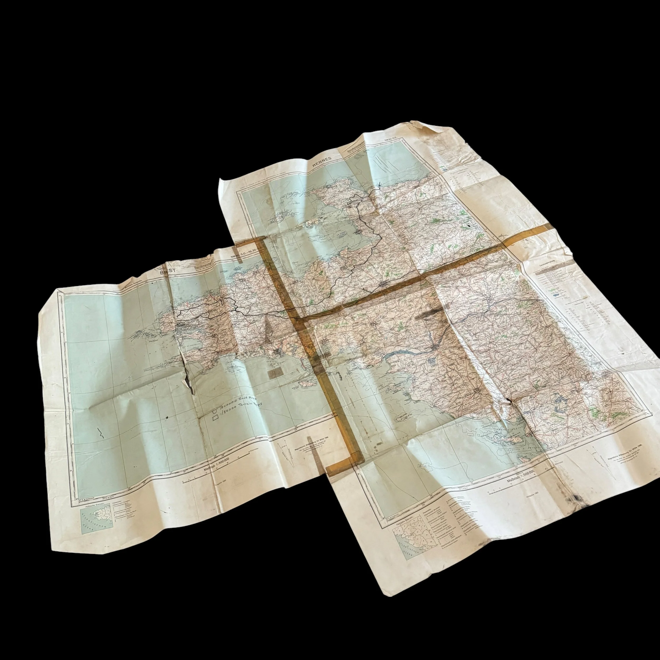
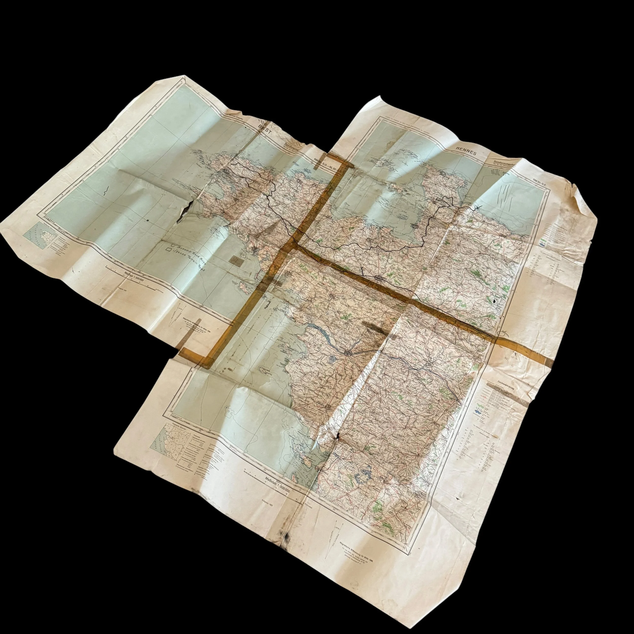
Visually, the piece consists of three distinct German military topographical map sheets (most notably including the Rennes and Brest sections) joined together by heavy-duty cellotape and gummed cloth tape to form a large-scale, composite German HQ theater wall map. The printed base sheets are original German military productions bearing clear German administrative markings, including the designation "Sonderausgabe!" (Special Edition) and the restriction "Nur für den Dienstgebrauch!" (For Official Use Only!). The map's heavy folds, creasing, tape discoloration, and extensive grease-pencil and ink annotations reflect intense handling under frontline conditions during the liberation of France.
Provenance and Capture by U.S. Forces"
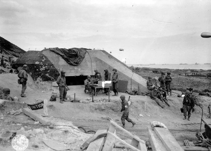
The presence of a German map set in American hands stems from the fluid and dynamic nature of the Normandy Campaign. During and immediately following the D-Day landings on June 6, 1944, U.S. forces regularly overran German command posts, coastal defense bunkers, and divisional headquarters. In the initial weeks of the Normandy invasion, Allied forces experienced logistical shortages regarding large-scale, regional theater maps. Consequently, U.S. intelligence (G-2) and operations (G-3) staff officers frequently seized, repurposed, and updated high-quality captured German cartography to track frontlines, plan logistics, and direct combat operations.
Cartographic Modification and Field Legend
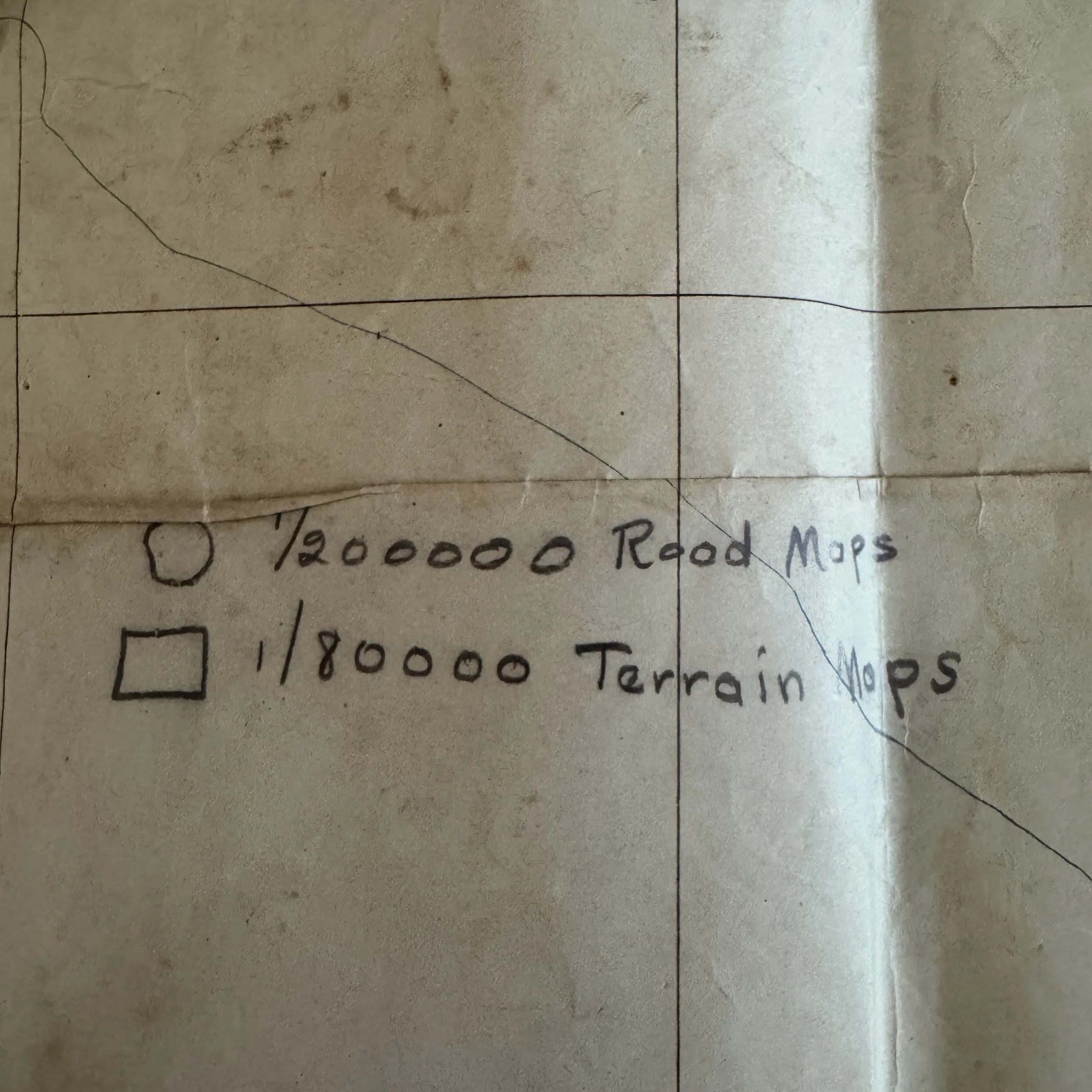
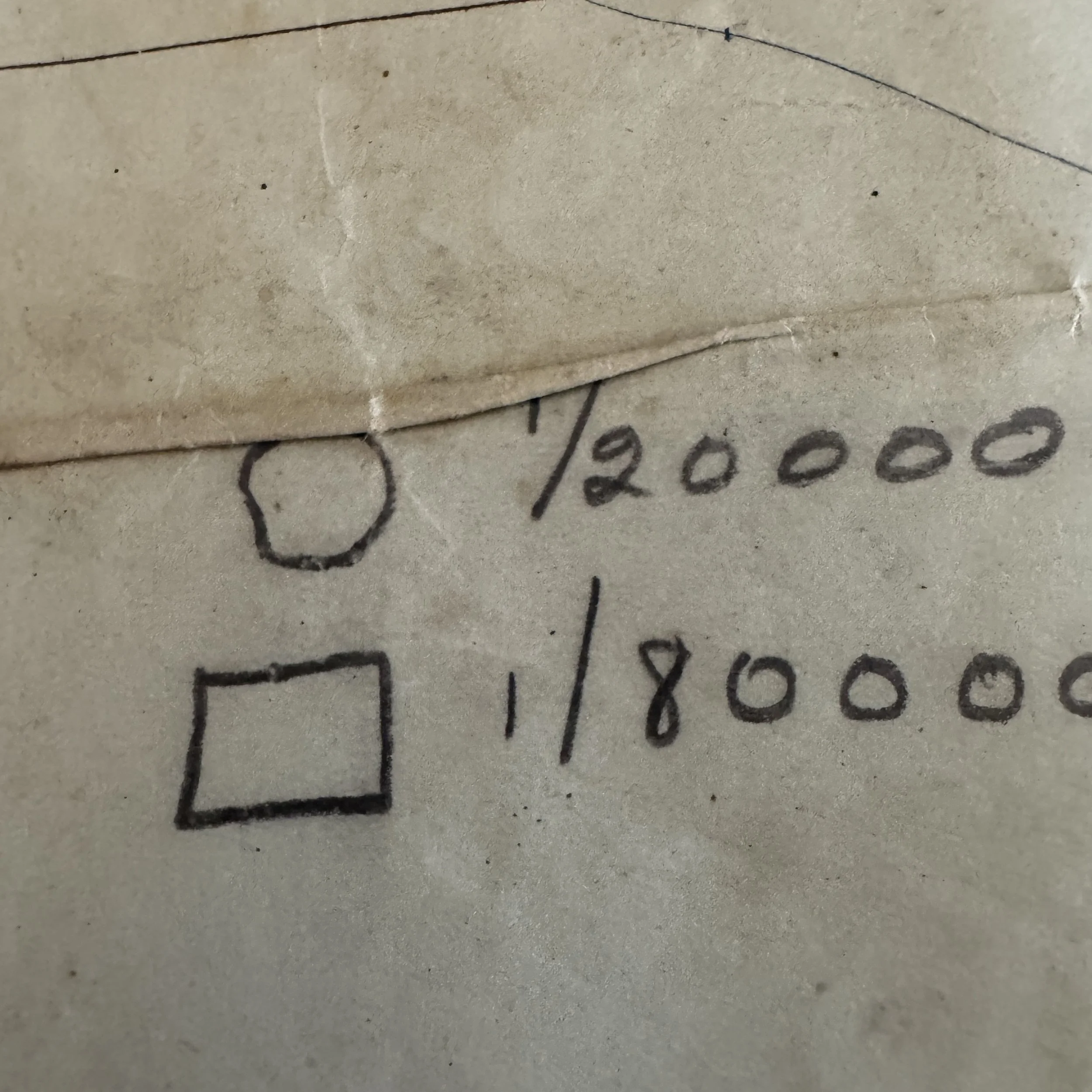
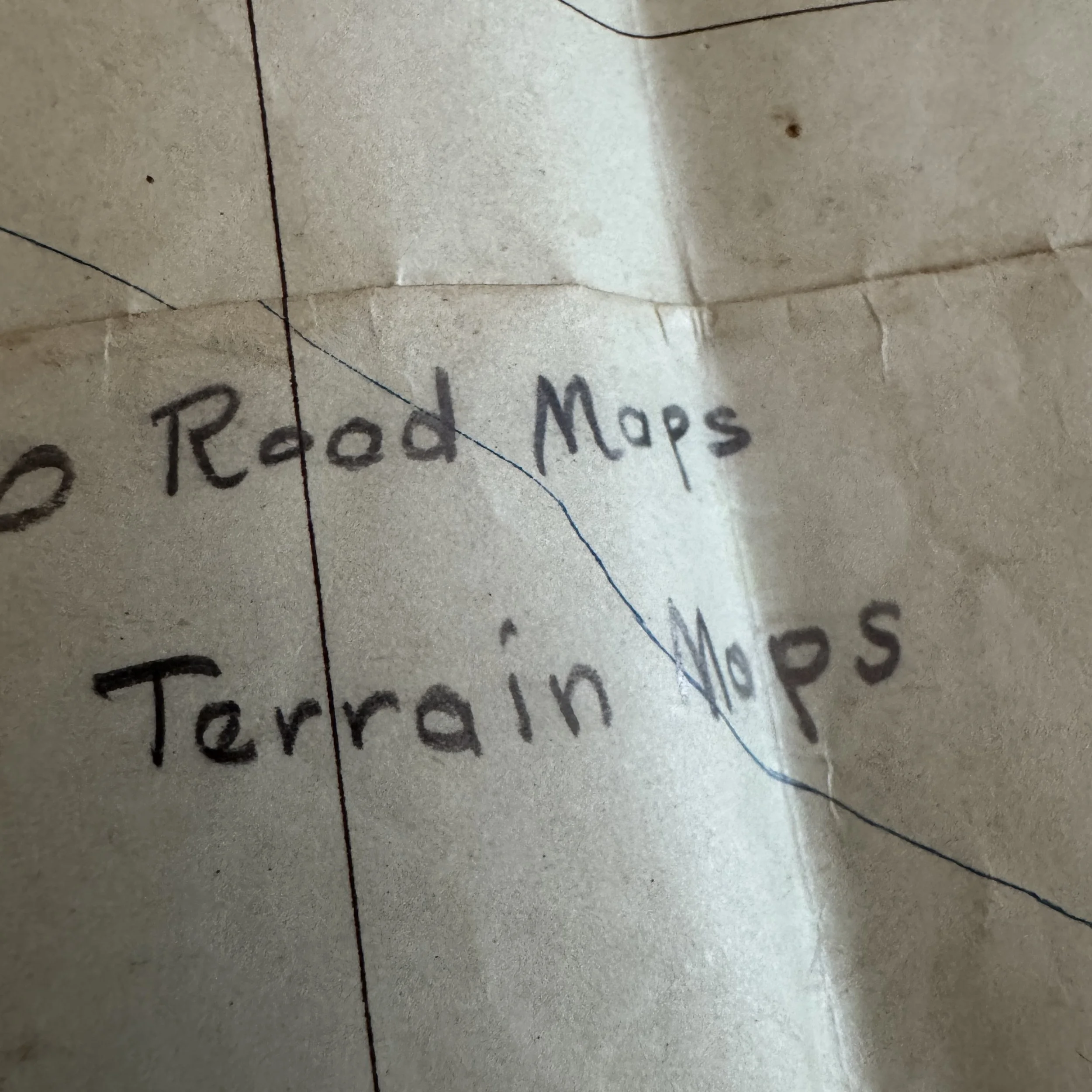
What makes this WWII Normandy artifact uniquely historical is the handwritten English annotation applied by U.S. personnel. Located in the lower-left ocean margin within the Brest sheet is a meticulously crafted handwritten key:
1/200000 Road Maps
1/80000 Terrain Maps
This homegrown legend served as a tactical index for American staff officers. Because this 1:500,000 composite map provided a broad, macro-level overview of the entire peninsula, it acted as a master control sheet. Officers utilized it to cross-reference and coordinate where more granular, tactical 1:80,000 terrain maps and 1:200,000 road maps were deployed among subordinate regiments and battalions.
Operational Narrative: From Omaha Beach to Brittany
The thick black grease-pencil and ink lines drawn across the surface trace a precise chronological and geographical arc of the American breakout and advance across Normandy and Brittany:
The Omaha Beachhead (June 1944): The operational narrative begins with a heavy arrow pinpointing Vierville-sur-Mer and the adjacent coastline (Pnte de la Percée / St. Laurent-sur-Mer), marking the gateway to Omaha Beach where the U.S. 29th Infantry Division and Ranger battalions fought ashore. The line extends inland toward Trévières and Route N.13, charting V Corps’ initial efforts to secure the beachhead and link up with neighboring forces.
The Cotentin Peninsula & Cherbourg (June 1944): A bold circle encloses Cherbourg, highlighting the critical drive to capture the deep-water port. The marked line pushing up through Montebourg, Valognes, and Ste.Mère-Église reflects the U.S. VII Corps campaign that sealed off the Cotentin Peninsula and achieved the capitulation of Cherbourg on June 27, 1944.
The Bocage and Operation Cobra (July 1944): A sharp loop encompassing St. Jores, Picauville, and the Marais de Gorges captures the grueling, claustrophobic hedgerow (Bocage) fighting south of Carentan. The frontlines pressed south of St. Lô illustrate the staging grounds and initial breakthrough vectors of Operation Cobra on July 25, 1944, which shattered German defensive cohesion under General Omar Bradley’s First Army.
The Brittany Breakout and Avranches Corridor (August 1944): The western extension of the drawn line sweeps past Coutances, Cérences, Bréhal, and down to Granville and Avranches. This tracks the explosive breakout of General George S. Patton’s U.S. Third Army following its activation on August 1, 1944. Patton’s forces flooded through the narrow Avranches bottleneck, wheeling west to isolate and besiege the German garrison at Brest and sweep through the Brittany peninsula, while other elements turned eastward to trap the German army in the Falaise Pocket.
As a historical artifact, this WWII Invasion of Normandy map is a tangible embodiment of the transition from the bloody lodgment of June 1944 to the sweeping mechanized warfare of late summer. By converting enemy cartography into an American command instrument,the officers who handled it left behind an irreplaceable physical record of the operational decisions that liberated Western Europe.