EXTREMELY RARE! WWII 1944 "Near-Mint Condition" Utah Beach & Saint Marie Du Mont Allied Commanders Tactical Operation Overlord Normandy Assault Map
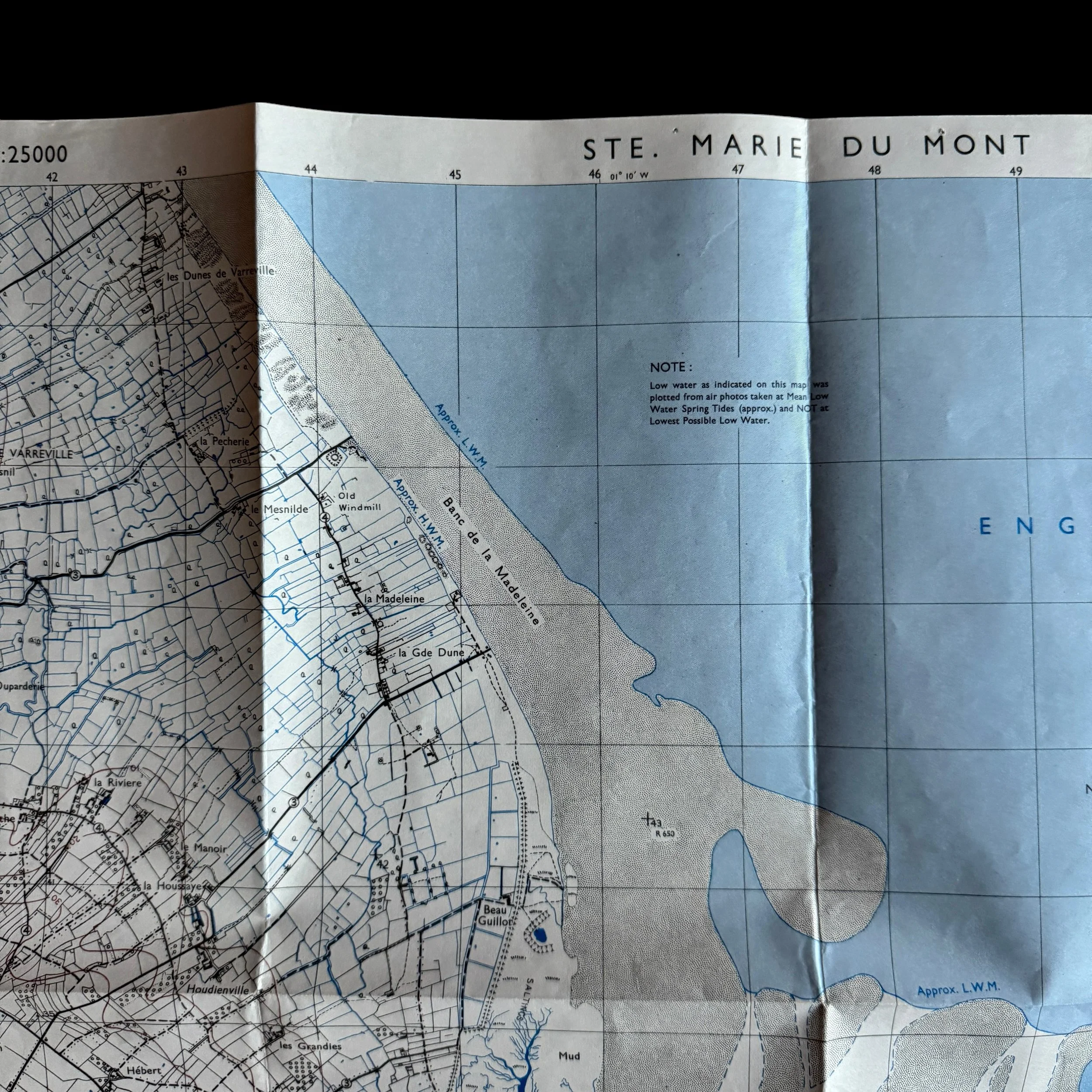
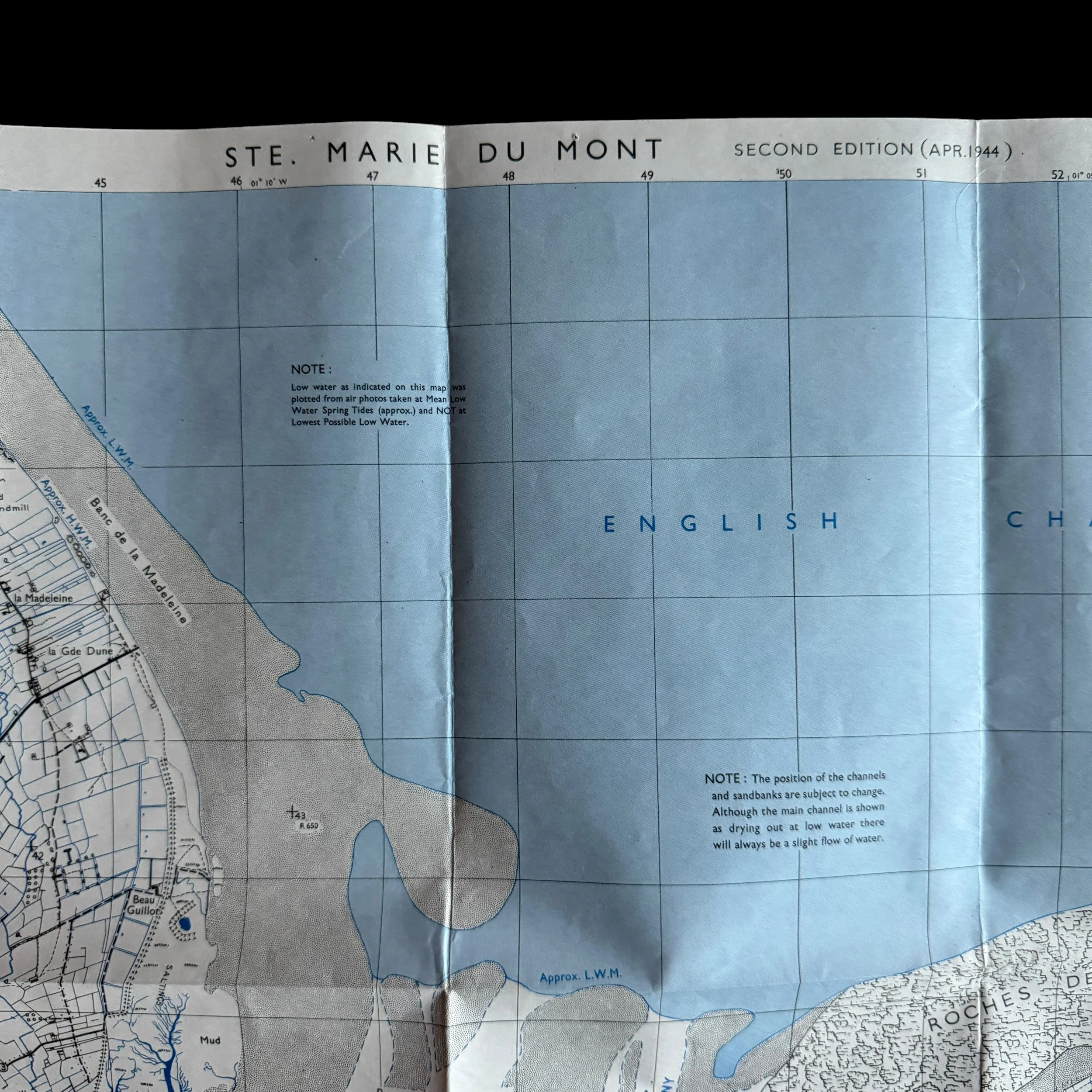
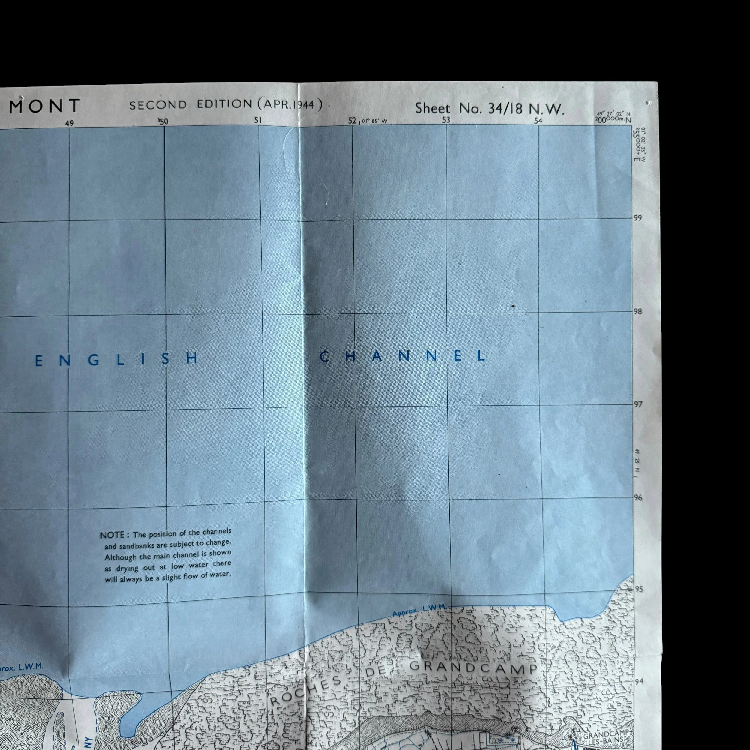
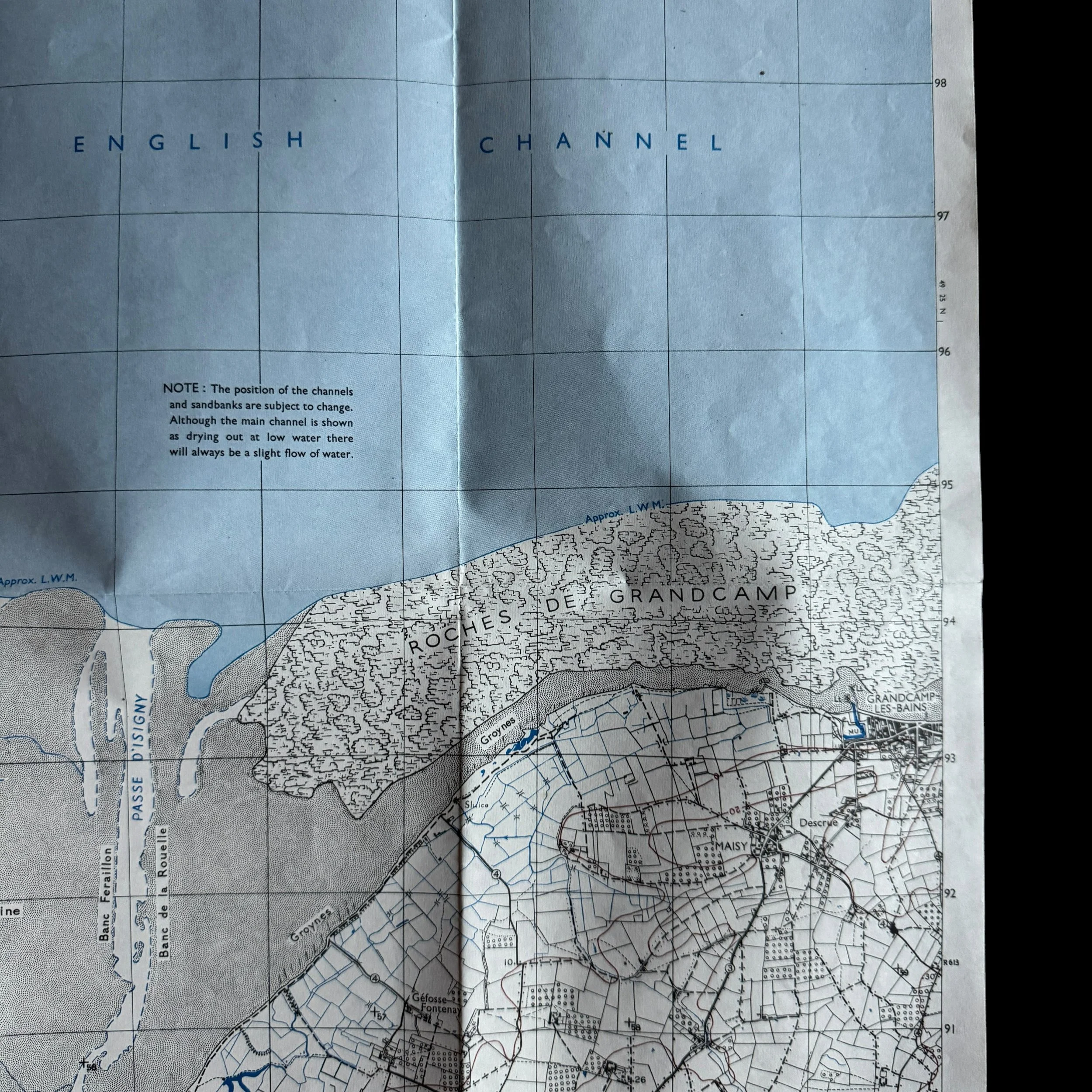
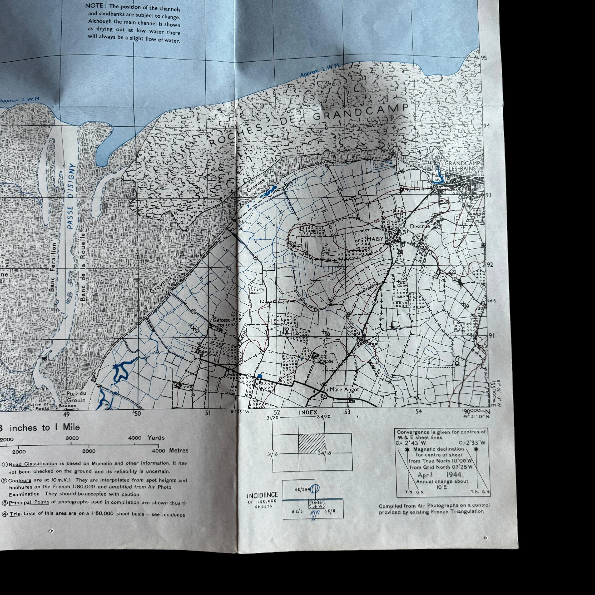
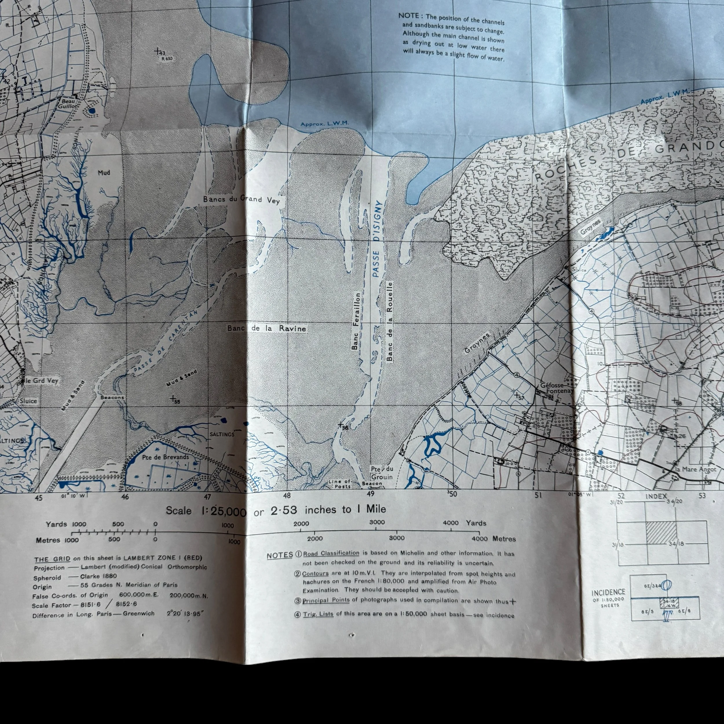
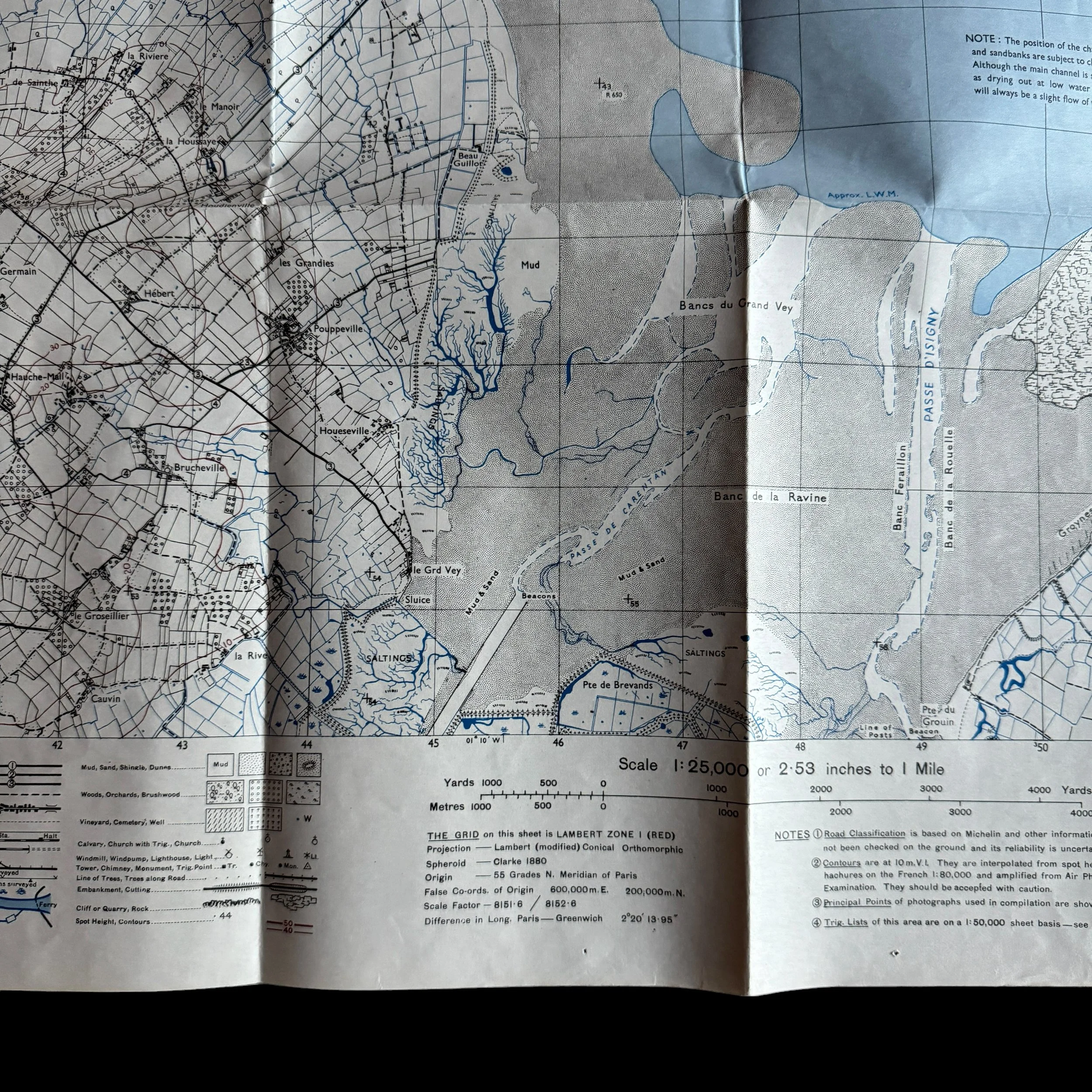
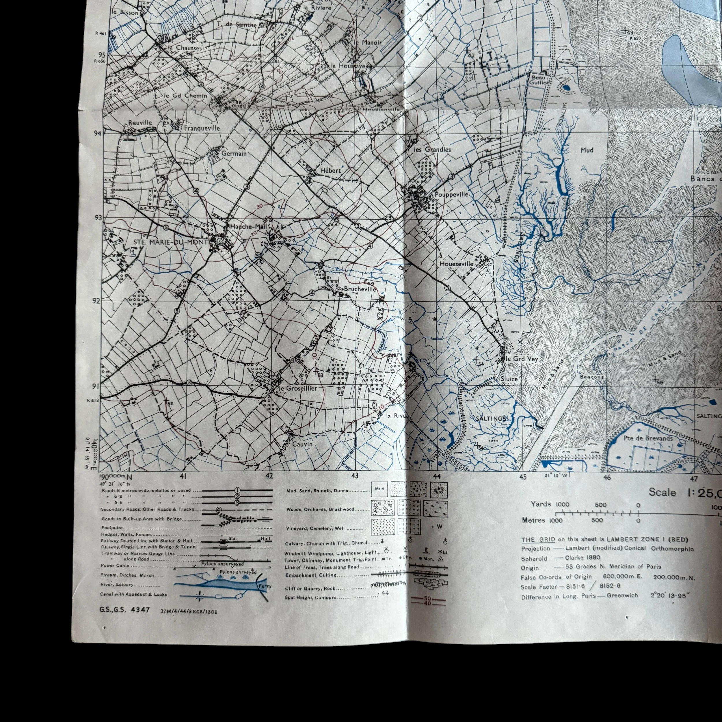
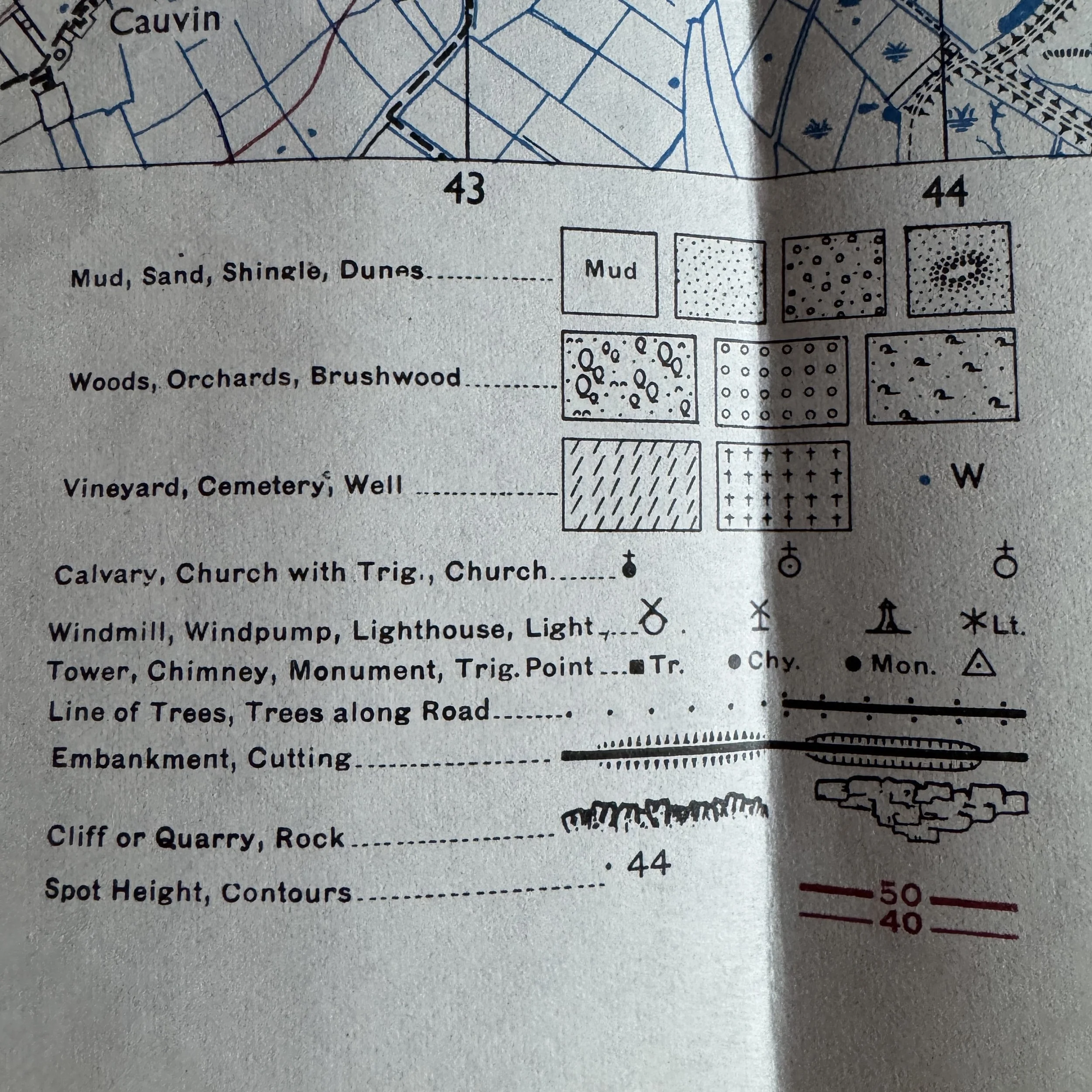
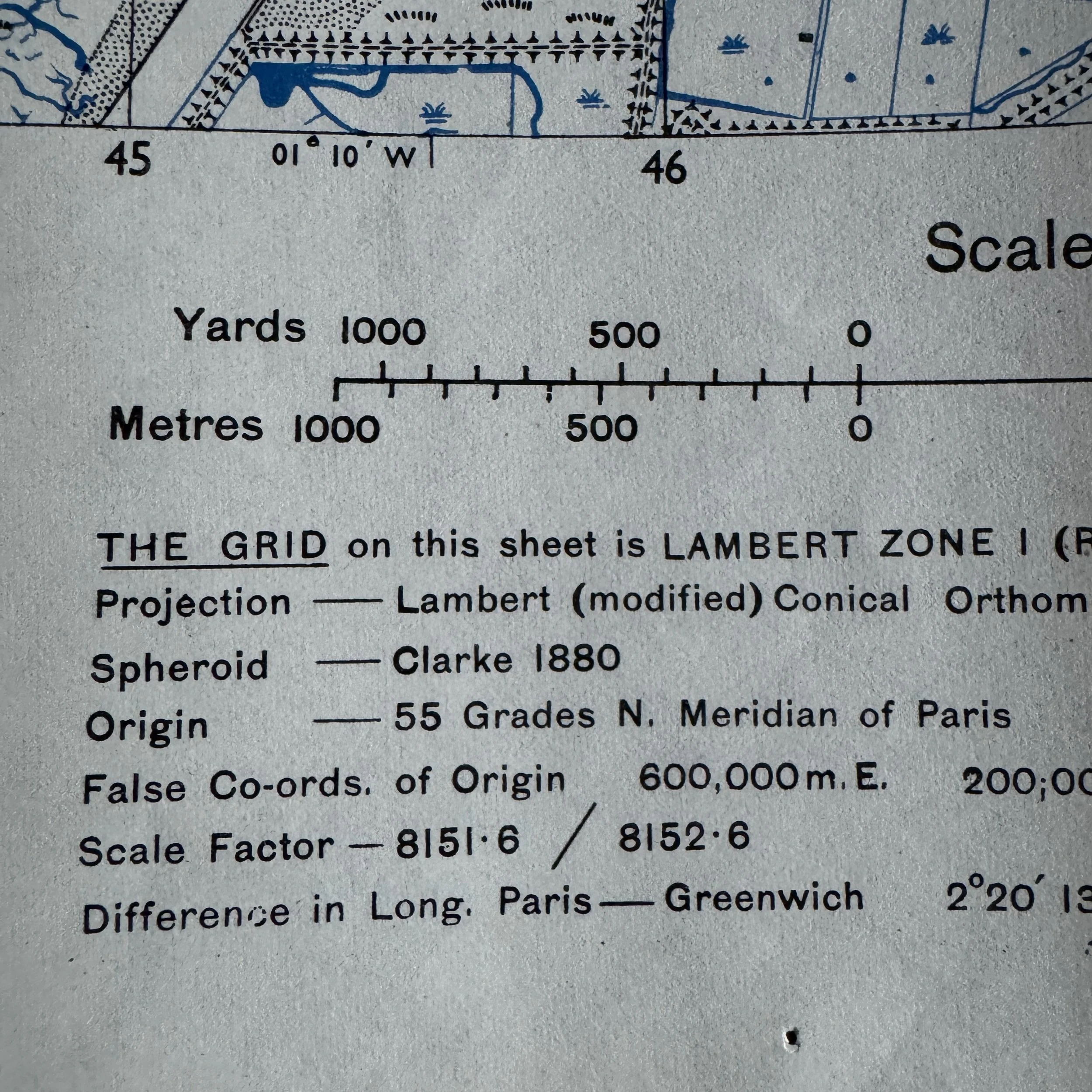
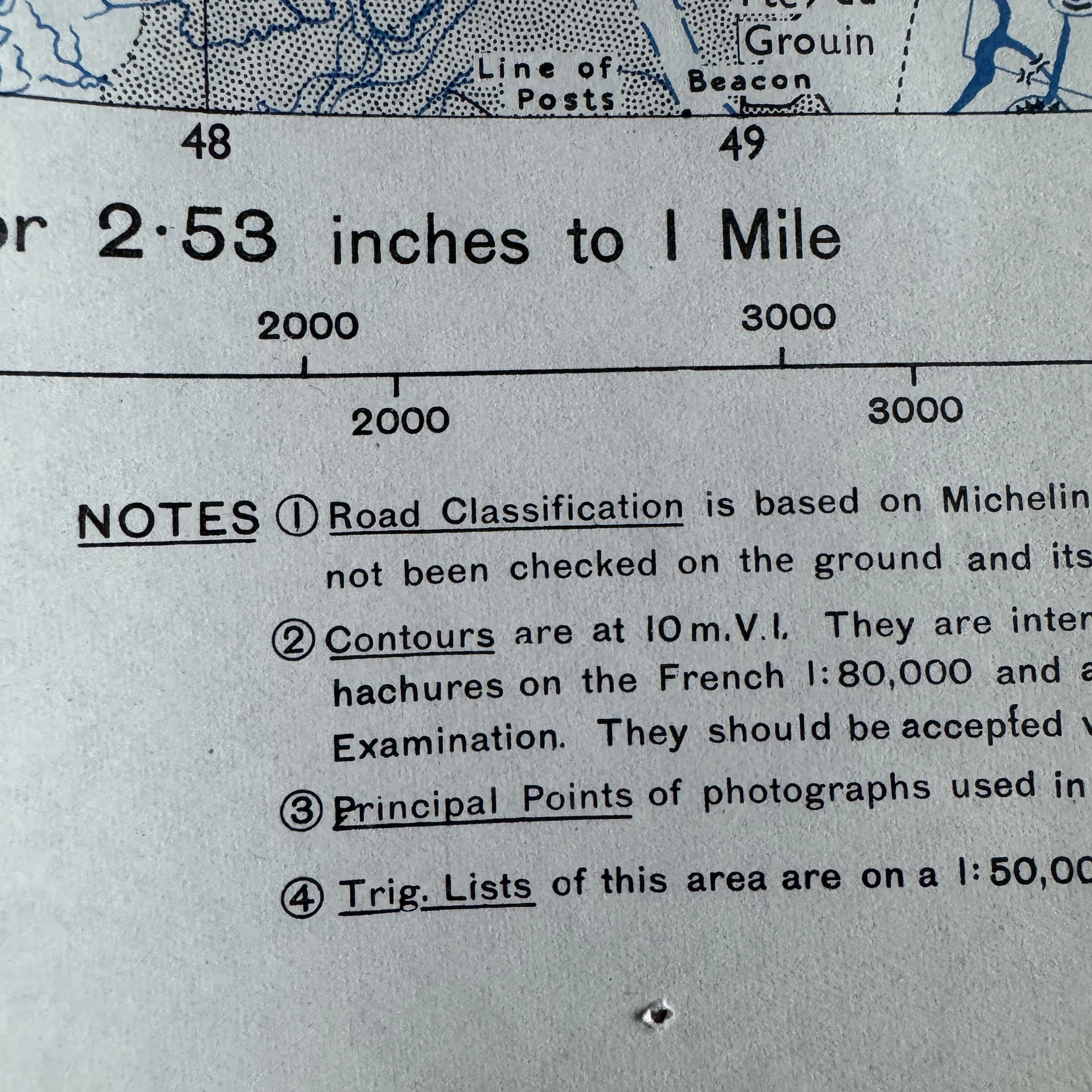
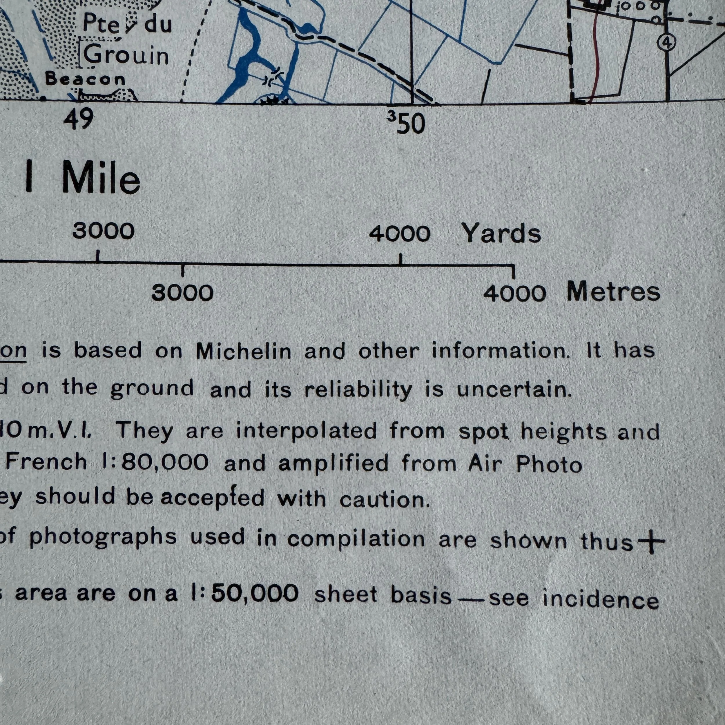


EXTREMELY RARE! WWII 1944 "Near-Mint Condition" Utah Beach & Saint Marie Du Mont Allied Commanders Tactical Operation Overlord Normandy Assault Map
Comes with a hand-signed C.O.A.
Size: 19.5 × 24.5 inches
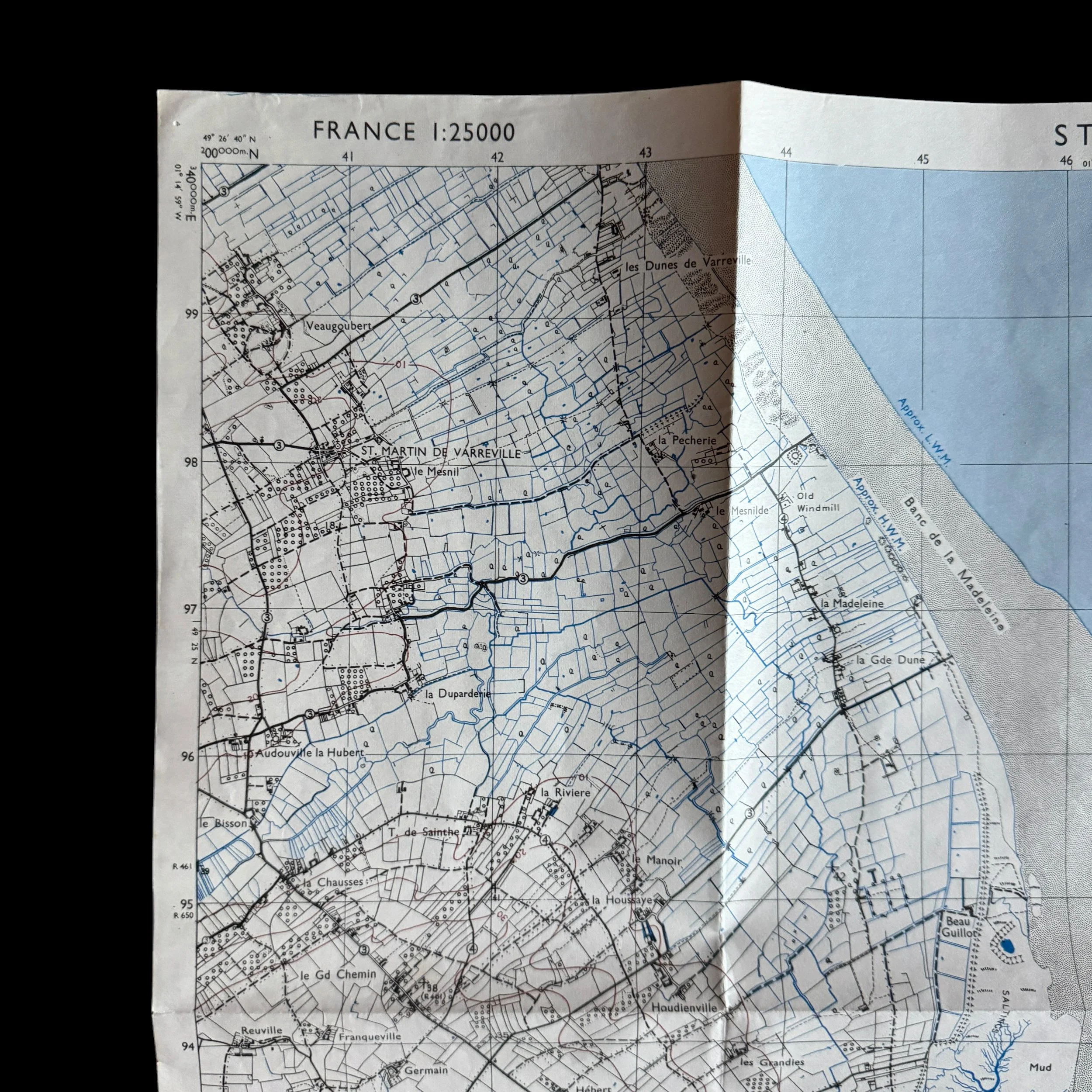
Condition: Near-mint, unissued "measurement condition" with crisp details, clean folds, and no handling wear—an extremely rare survivor of 5,000–15,000 original prints. Less than 5% of those original surviving maps are believe to be in near mint condition.
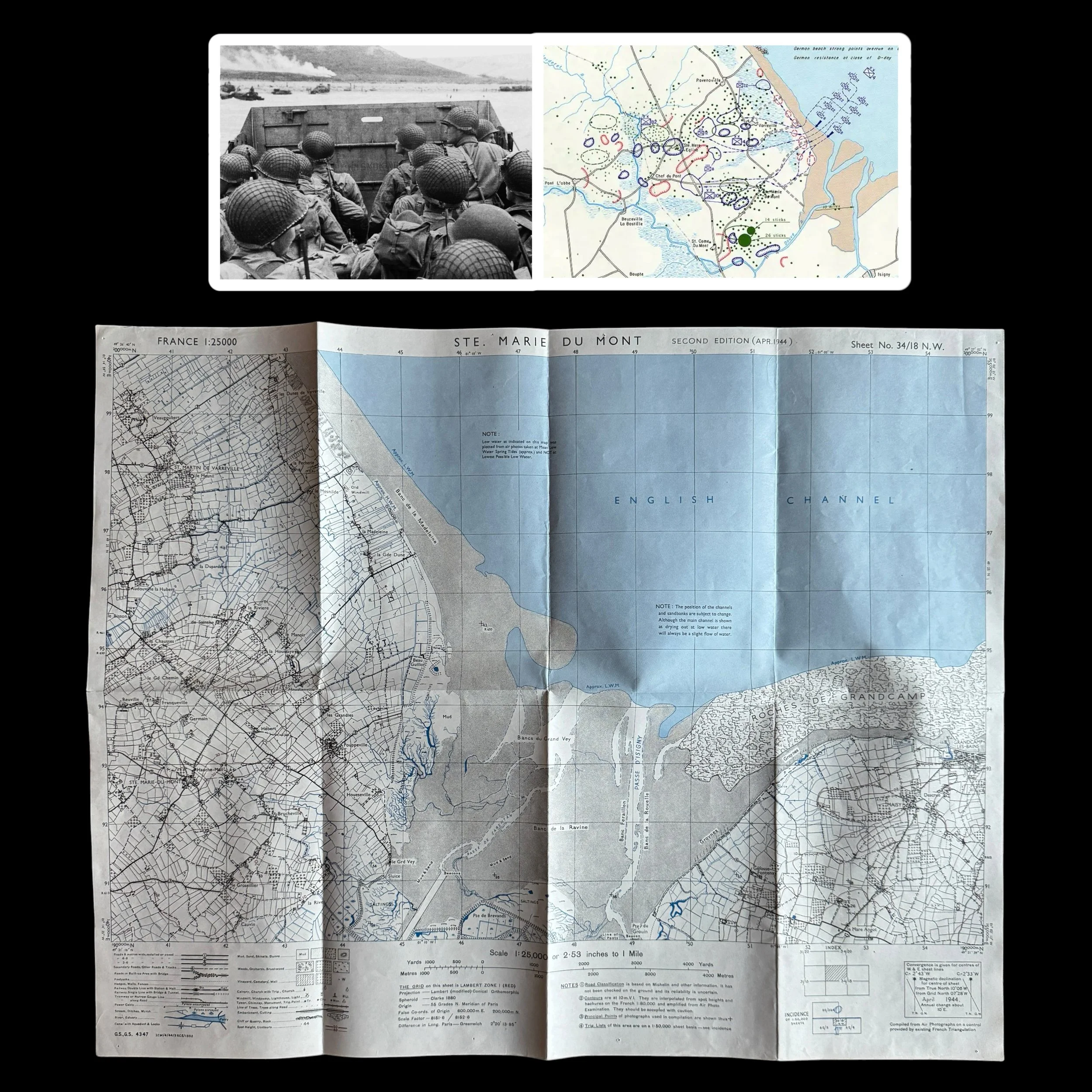
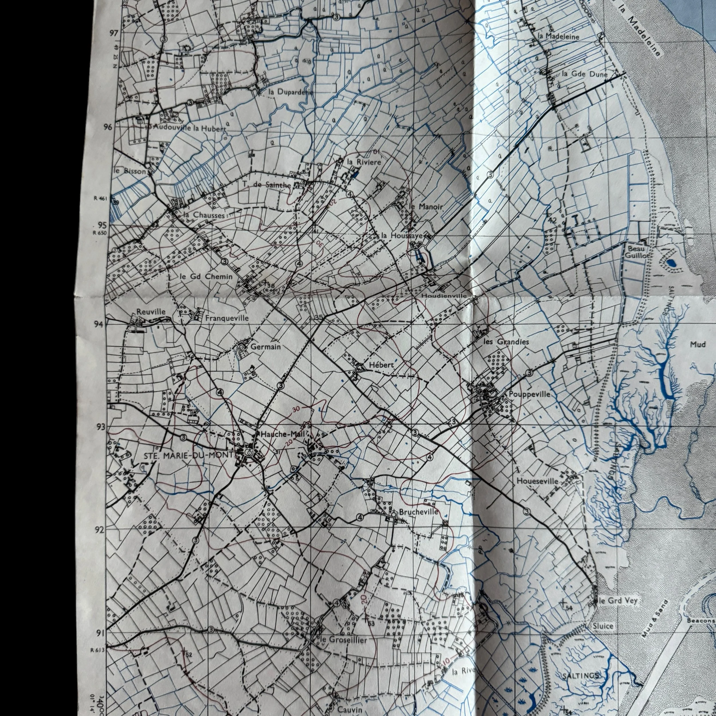
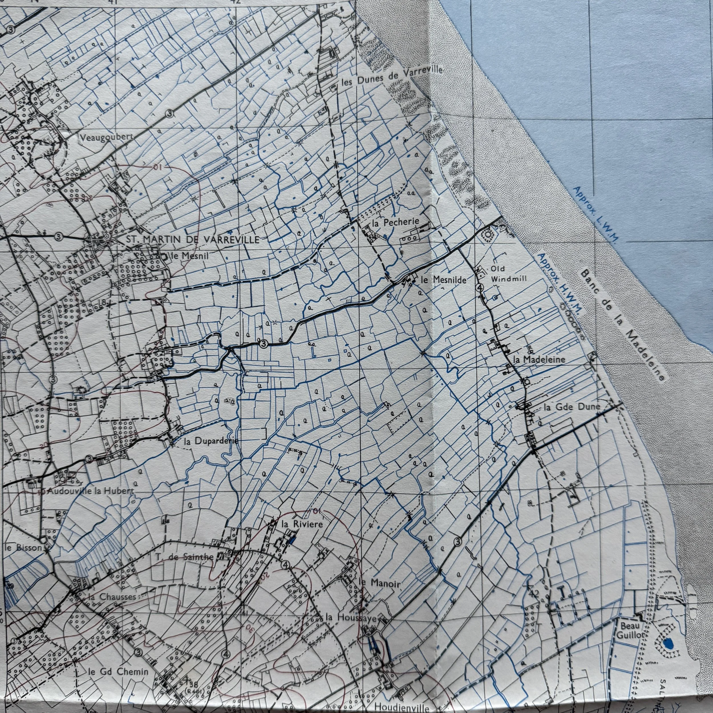
Military Purpose: Tactical ground map used by D-Day Allied commanders, platoon leaders, and airborne coordinators to navigate French bocage (hedgerows), locate German strongpoints, and direct artillery fire.
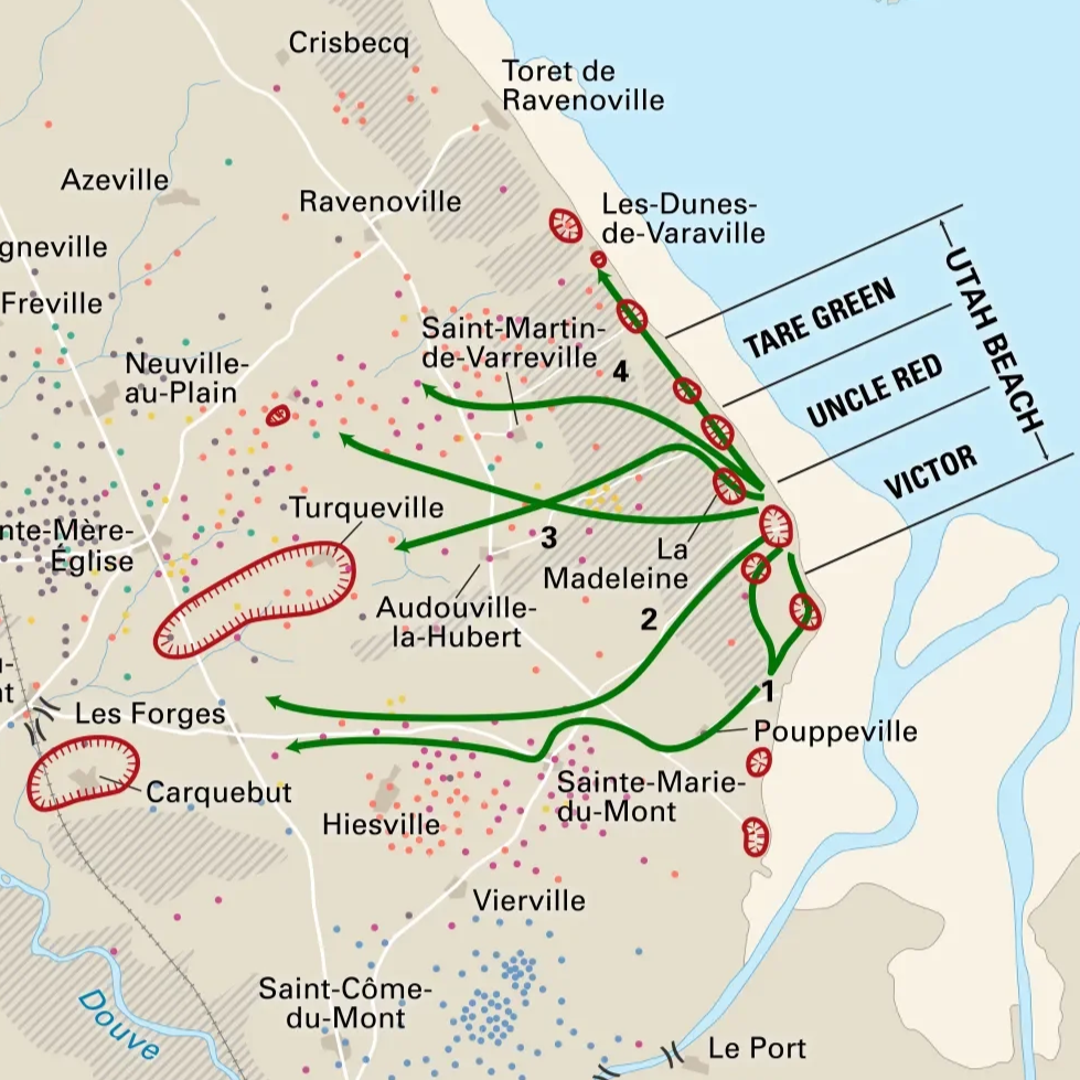
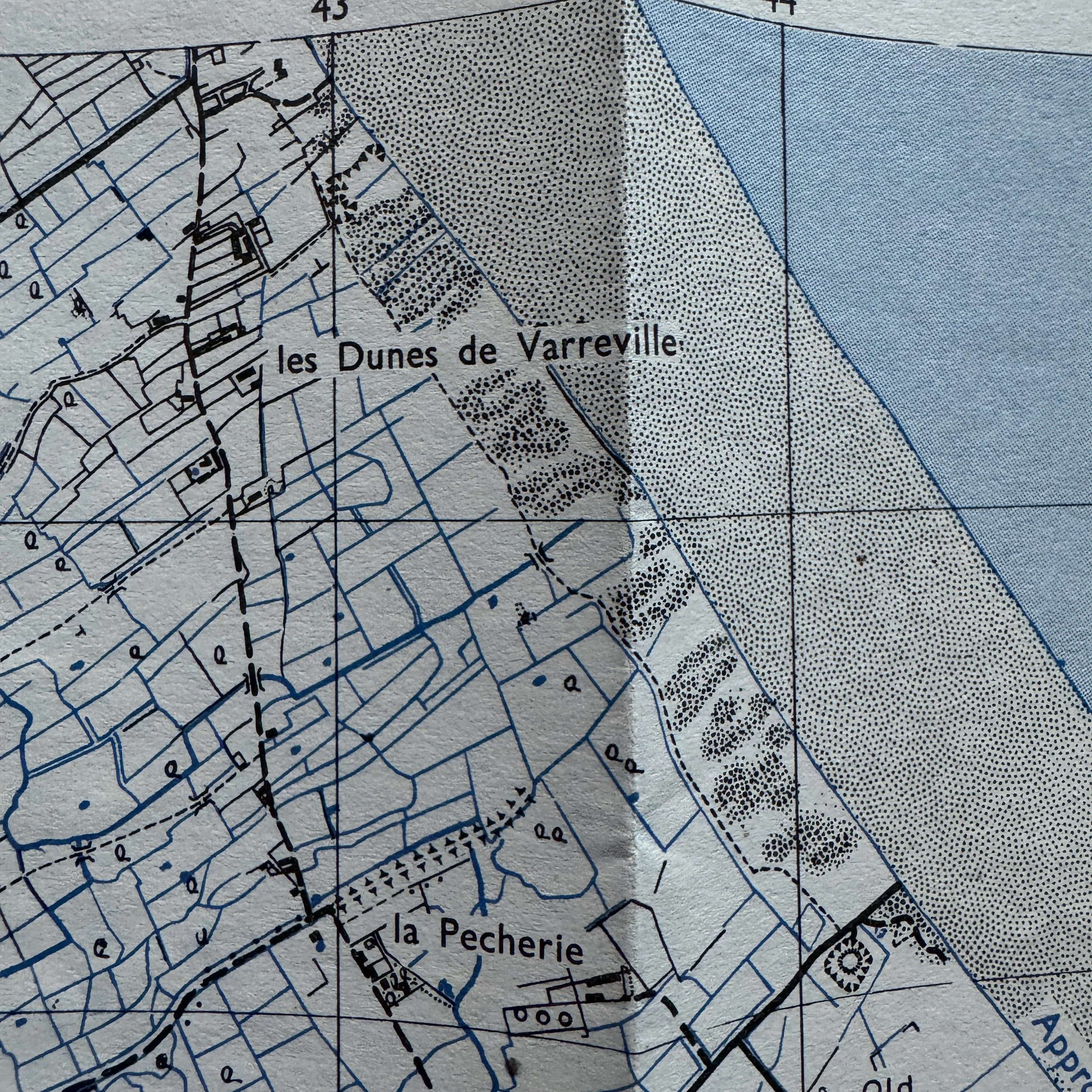
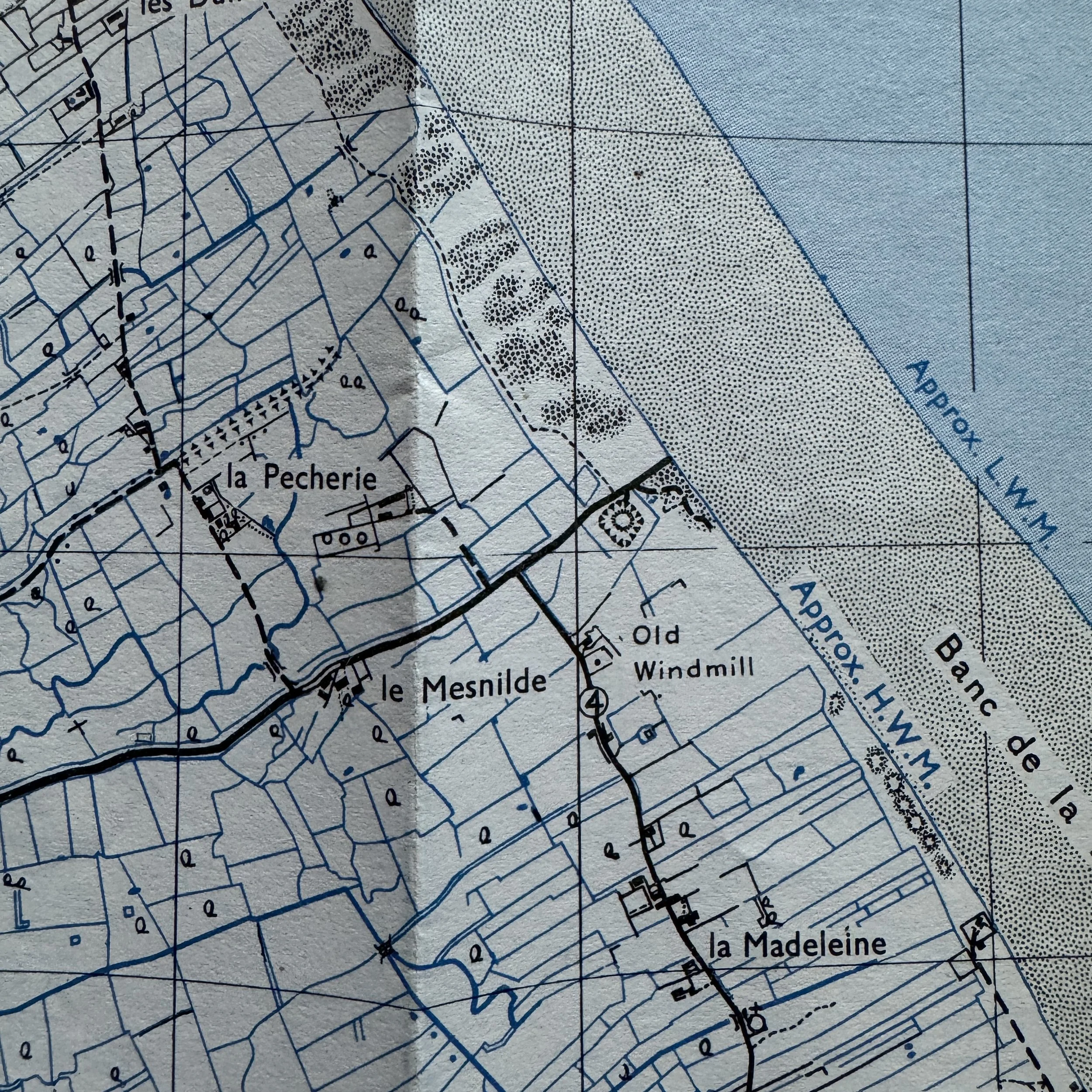
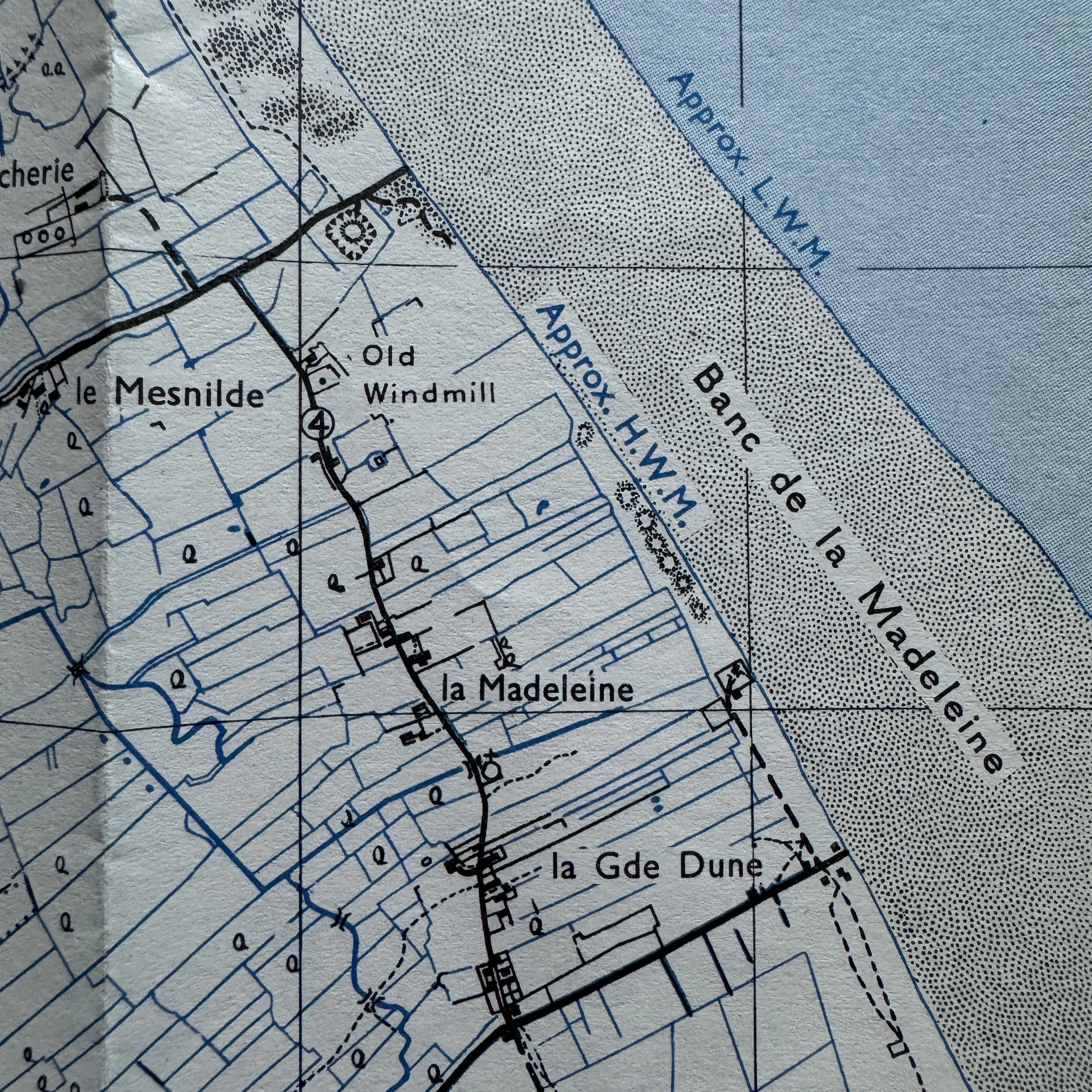
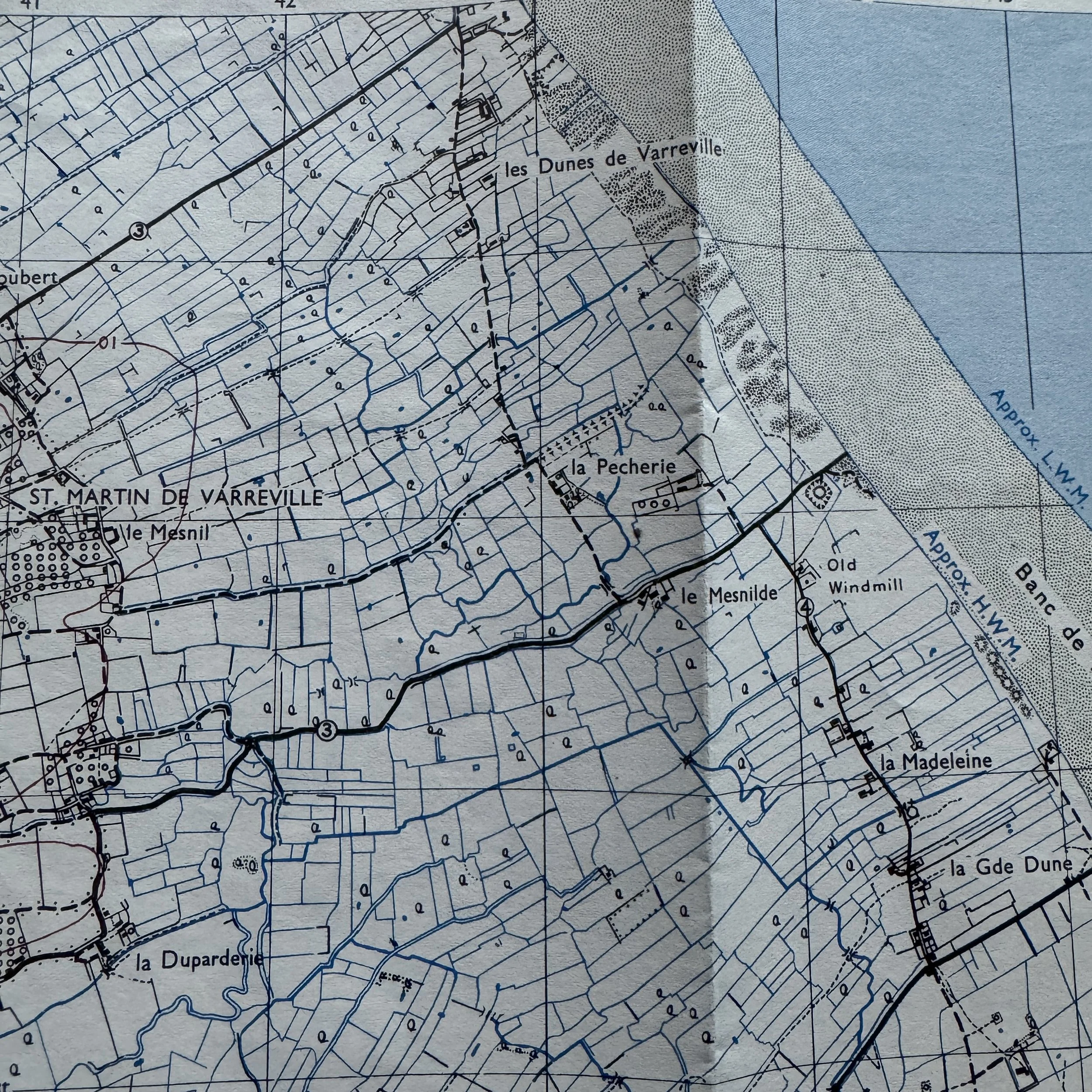
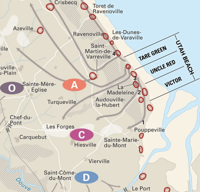
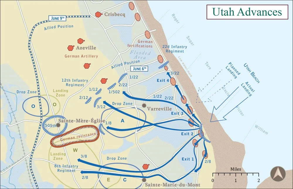
Utah Beach Landmarks: Highlights la Madeleine (main U.S. 4th Infantry landing site) and les Dunes de Varreville (northern flank secured by the 502nd PIR).
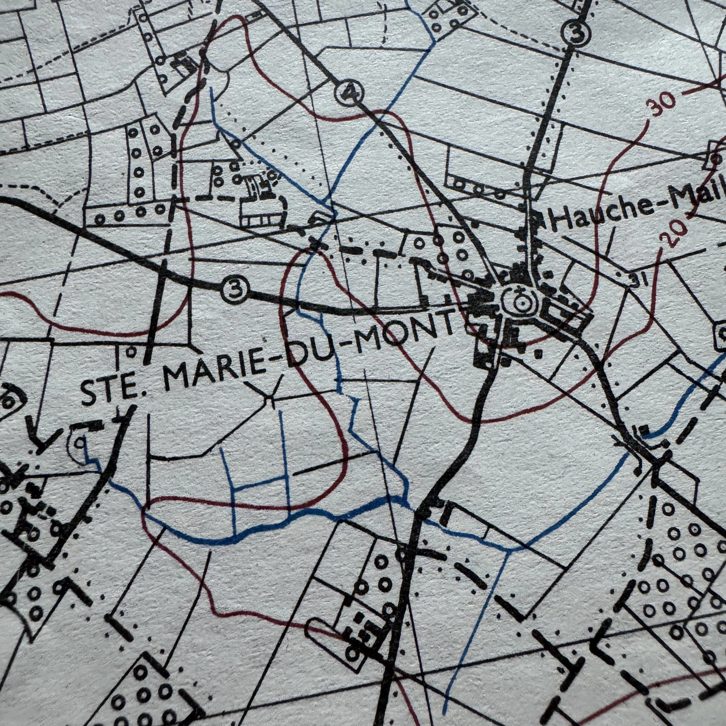
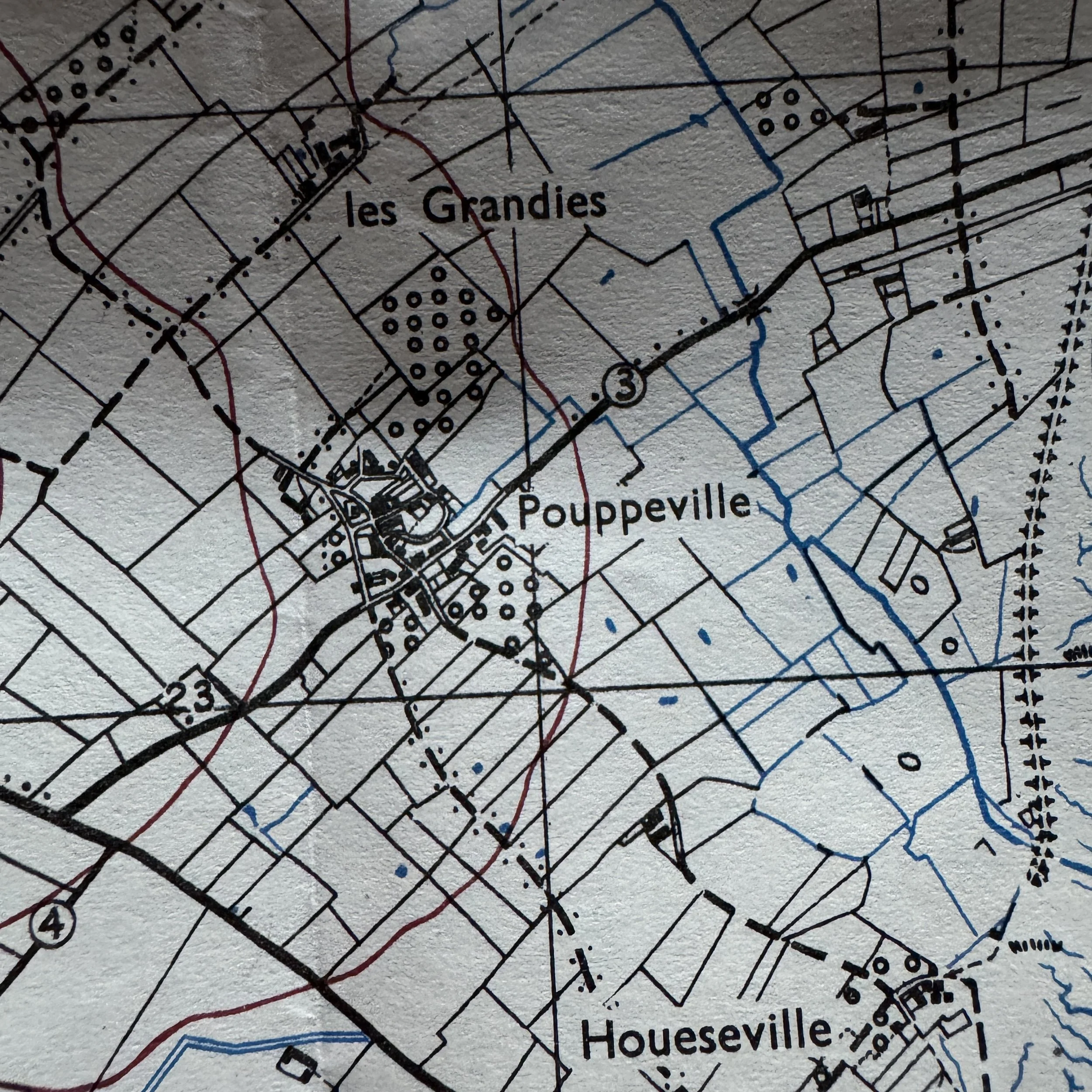
Airborne Drop & Causeway Objectives: Features Ste. Marie-du-Mont (101st Airborne objective & first liberated French town), Pouppeville (Exit 1 junction linking paratroopers to beach forces), Hiesville/Holdy (glider landing zones),le Mesnilde/la Pecherie (causeways across flooded marshes), and the Bancs du Grand Vey estuary dividing Utah and Omaha sectors.
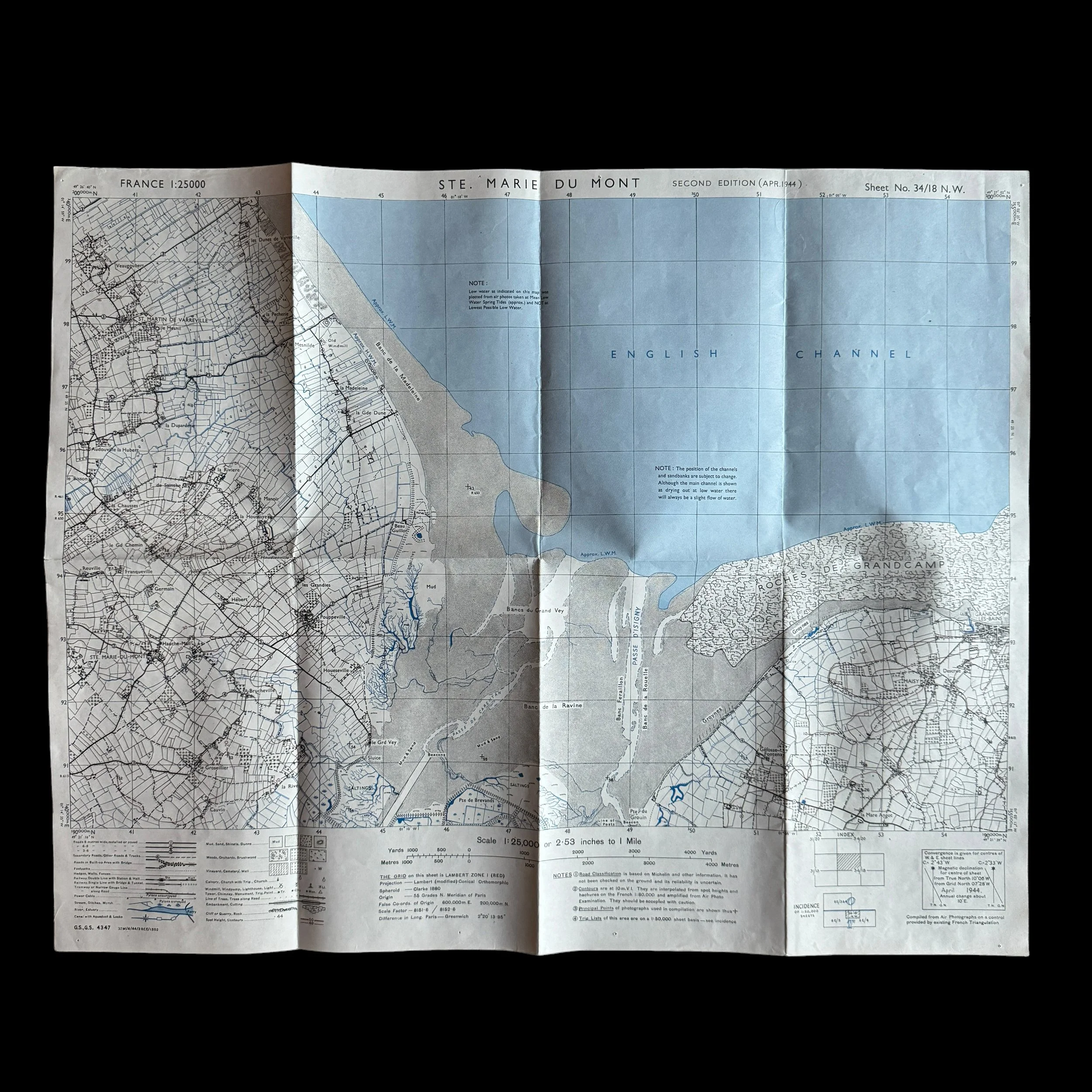
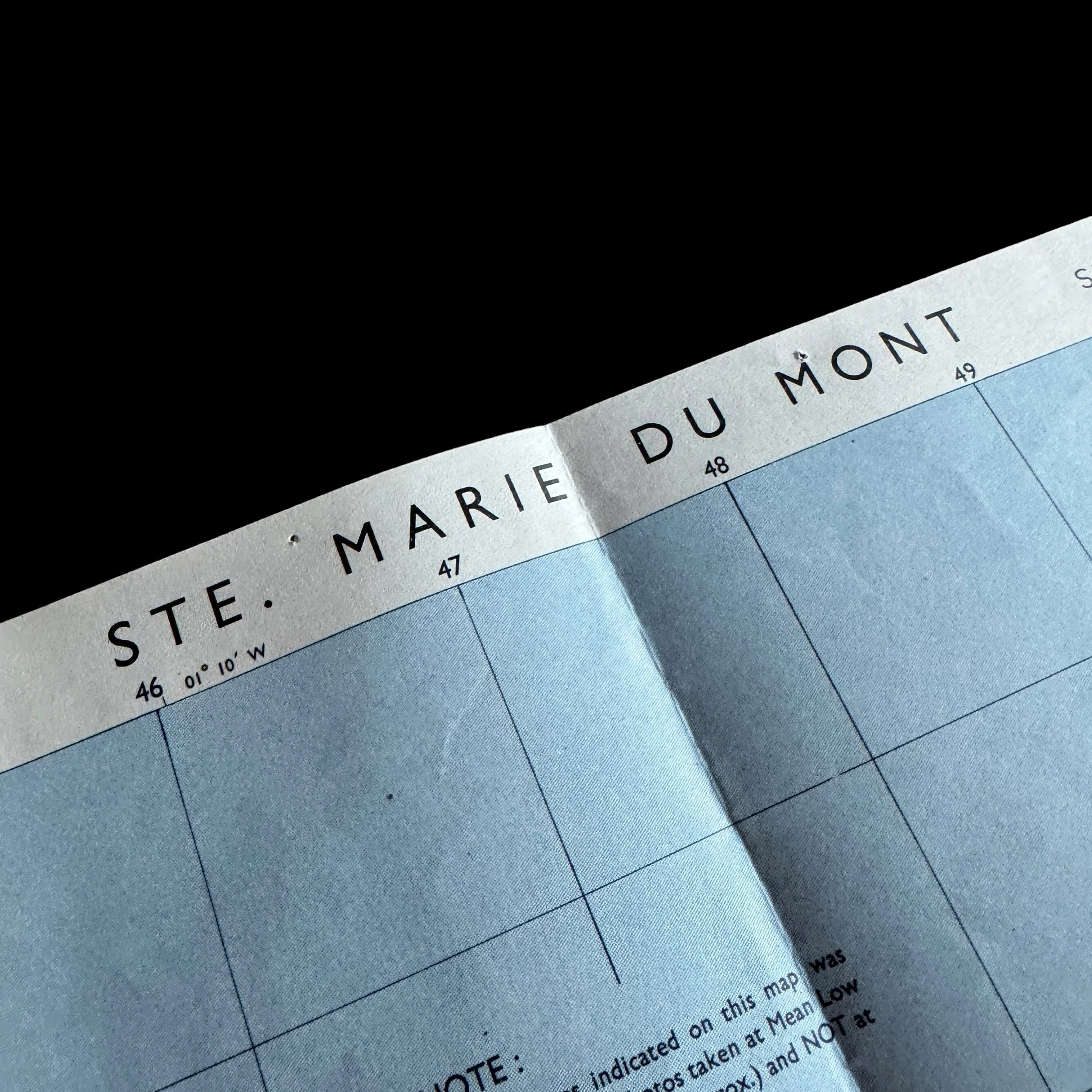
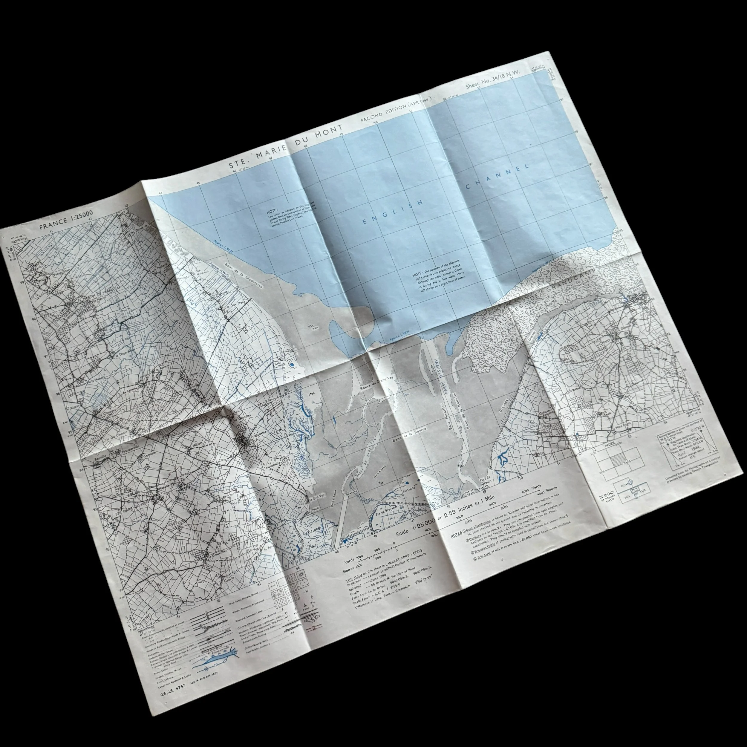
This original World War II 1944 Operation Overlord D-Day artifact is a near-mint, combat-used map titled "STE. MARIE DU MONT," Second Edition (April 1944). Printed just weeks prior to the historic D-Day amphibious landings of Operation Overlord, this map covers a vital sector Utah Beach and 101st/82nd Airborne operational sector in Normandy, France. Ste. Marie du Mont was a critical objective immediately inland from Utah Beach, playing a central role in the tactical drop zones and advance routes for the U.S. 82nd and 101st Airborne Divisions, as well as the amphibious forces pushing off the coast on June 6, 1944.
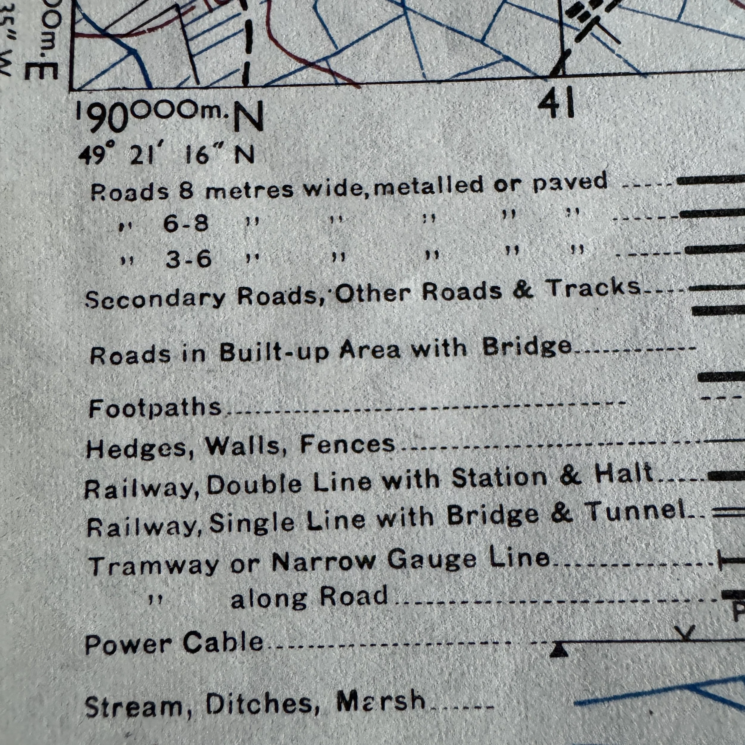
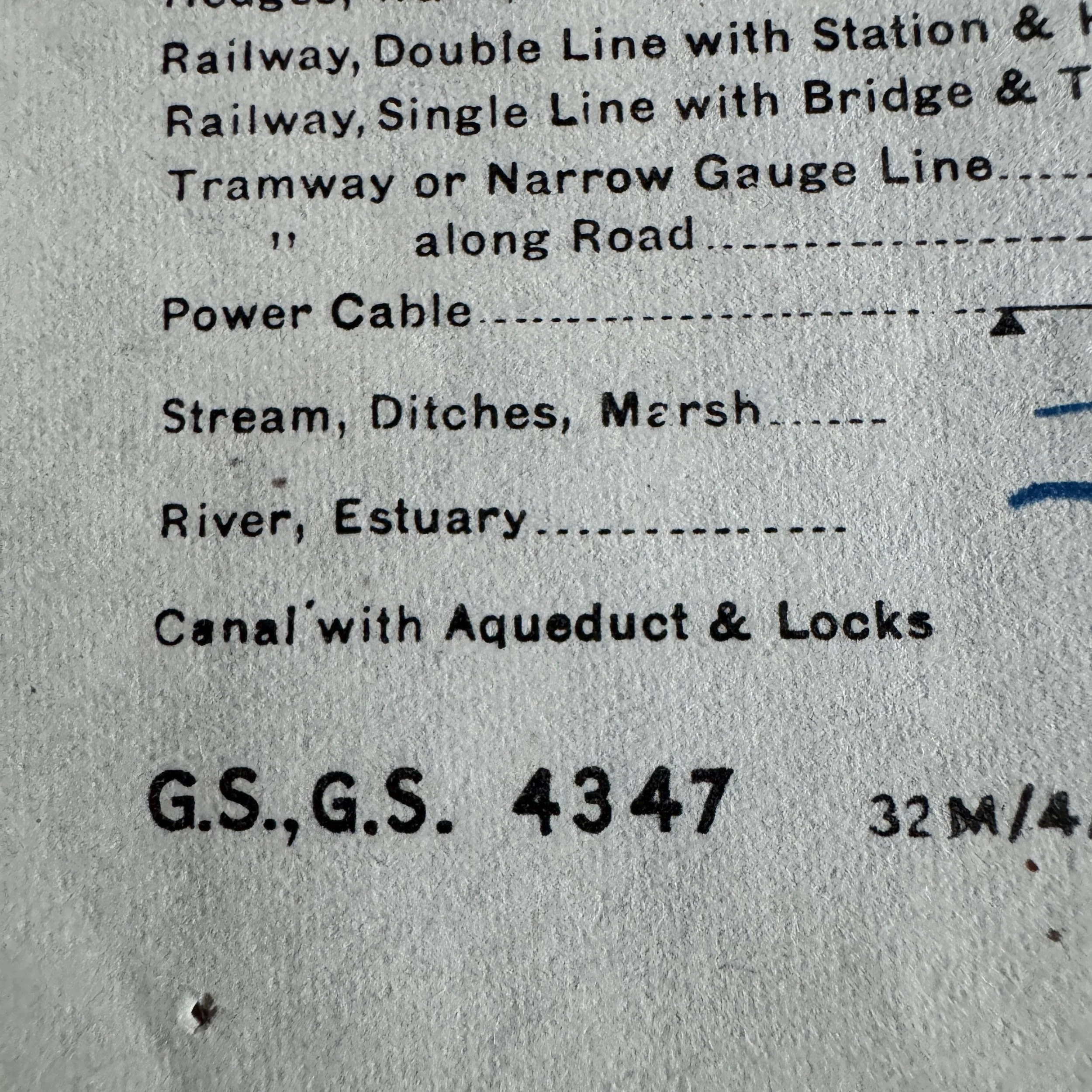
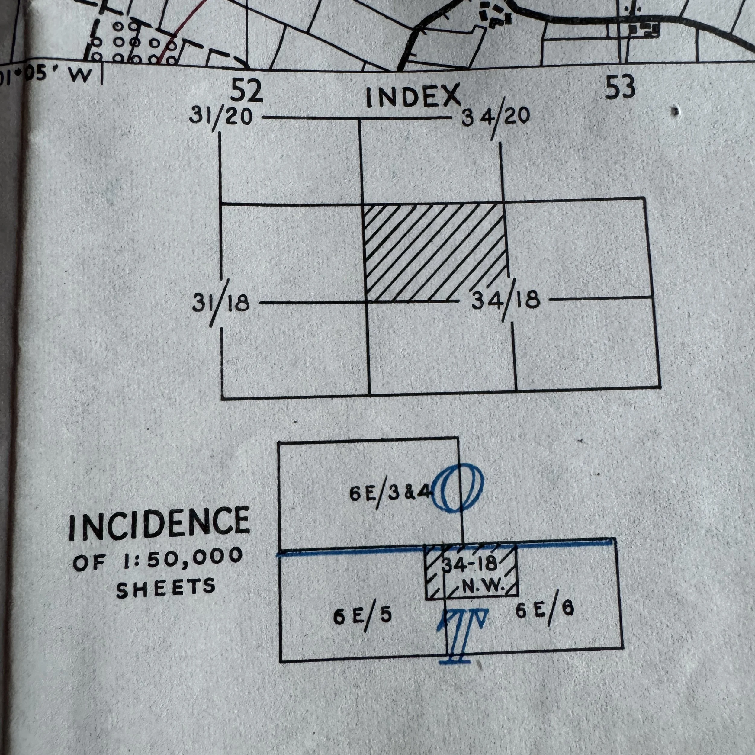
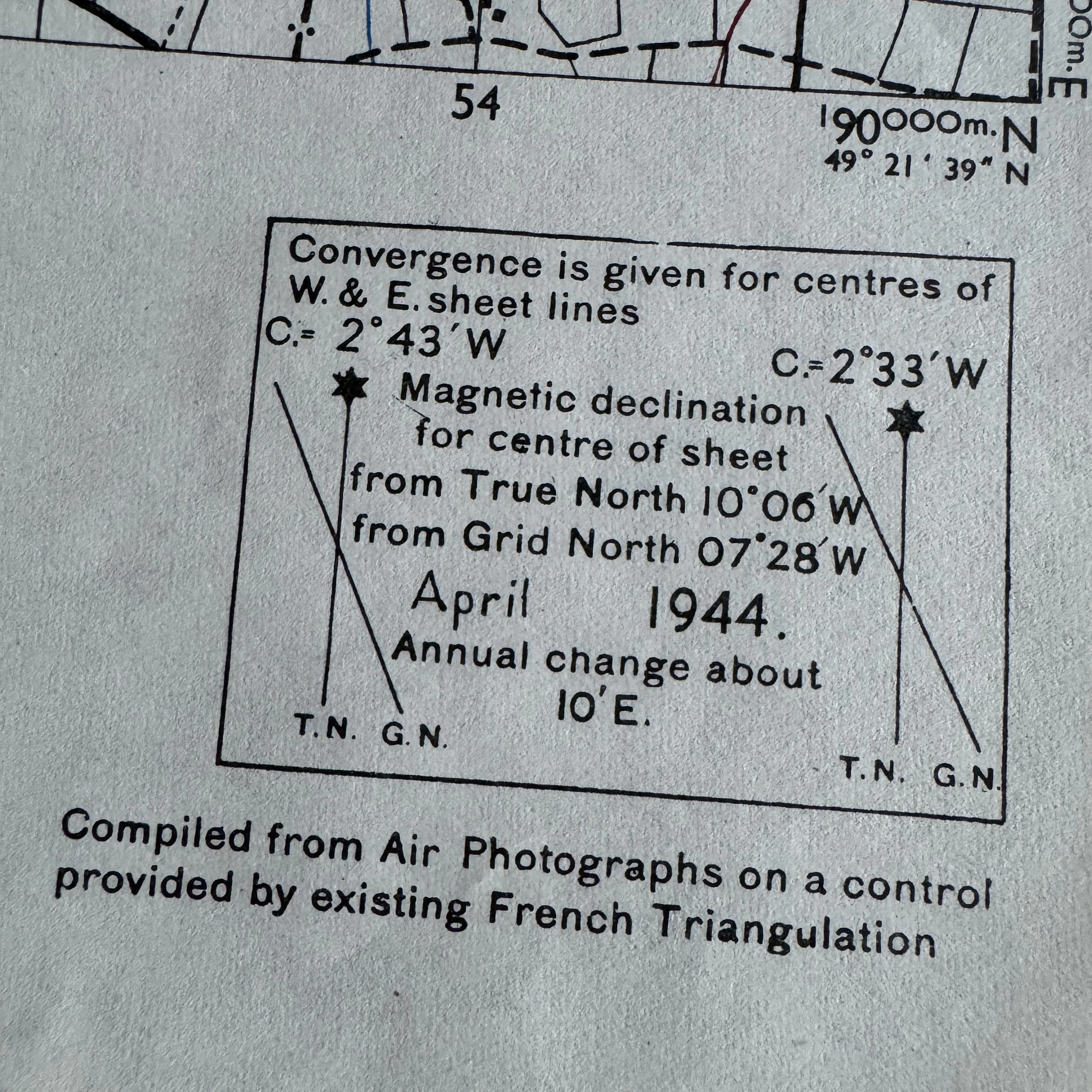
This 1:25,000 scale G.S.G.S. 4347 sheet (34/18 N.W.) was created directly to support Operation Neptune, the assault phase of Operation Overlord. Issued in April 1944, these high-resolution field tactical maps were distributed to D-Day ground force commanders, platoon leaders, forward artillery observers, and airborne drop coordinators. Maps of this scale provided the level of micro-topographical detail necessary to navigate the treacherous French bocage (dense hedgerows), identify fortified German strongpoints (Widerstandsnester), and establish troop movements immediately upon landing. Lower-echelon officers and NCOs carried base sheets like this for tactical ground navigation, combat plotting, and coordinating fire support across sector boundaries.
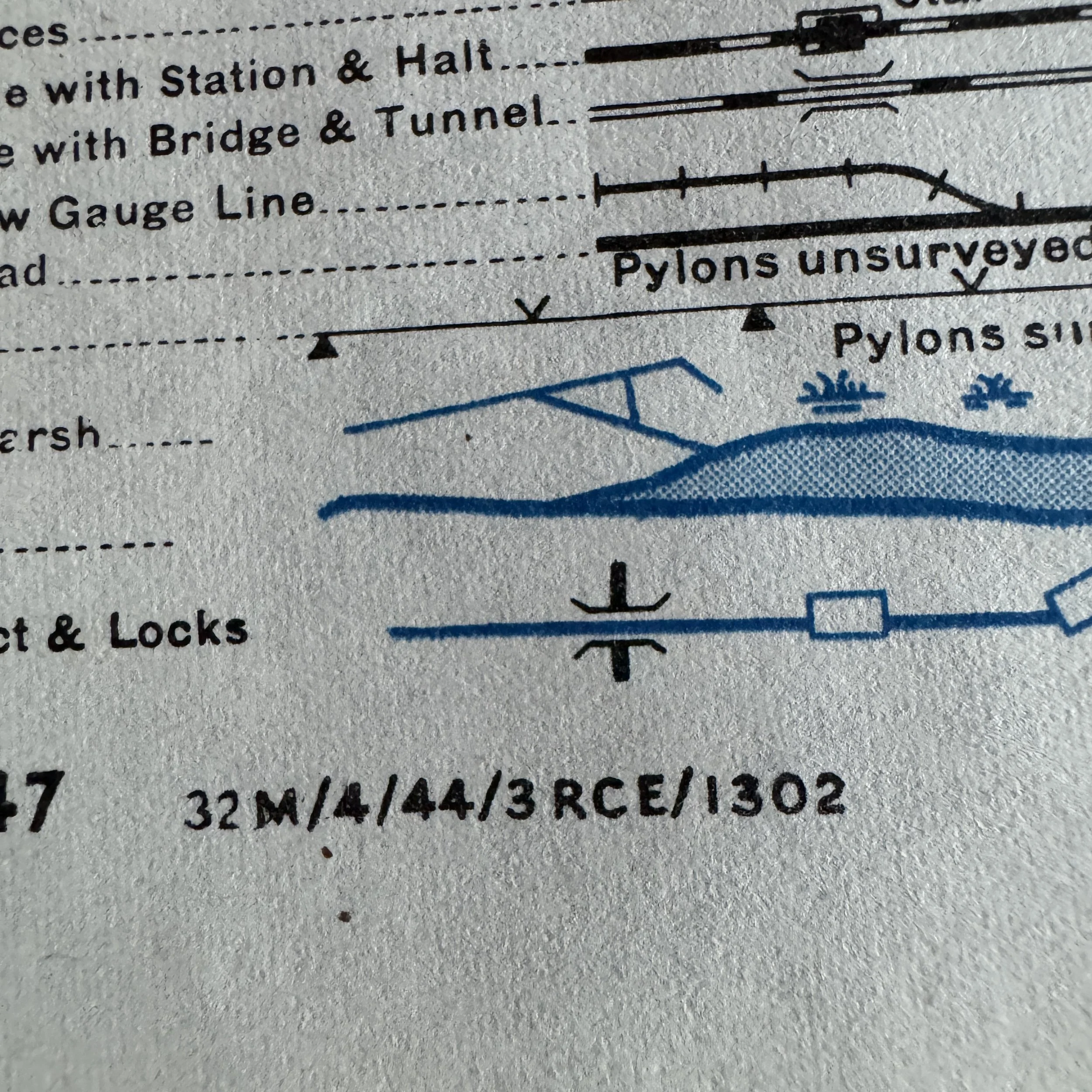
During the intensive TOP SECRET BIGOT preparations for the Normandy landings, the Allied Directorate of Survey and the U.S. Army Map Service oversaw the production of the D-Day assault tactical maps. For the G.S.G.S. 4347 (France 1:25,000) series, standard print runs for individual sheets ranged between 5,000 and 15,000 copies per revision, printed primarily by British Royal Engineers (R.E.) field survey units and U.S. Engineer Base Topographic Battalions. The production code 32 M/4/44/3 RCE/1302 on this specific sheet identifies it as being printed in April 1944 by the 3rd Field Company, Royal Canadian Engineers (or Royal Engineers press section). While thousands were originally printed, combat wear, wet weather, and post-war disposal destroyed the vast majority. Finding a base operational sheet in unissued, near-mint "measurement condition" is exceptionally rare.
Key Locations & Strategic Landmarks Included on the D-Day Map:
The physical map sheet covers the exact focal point of the Utah Beach assault sector and the adjacent inland paratrooper drop zones:
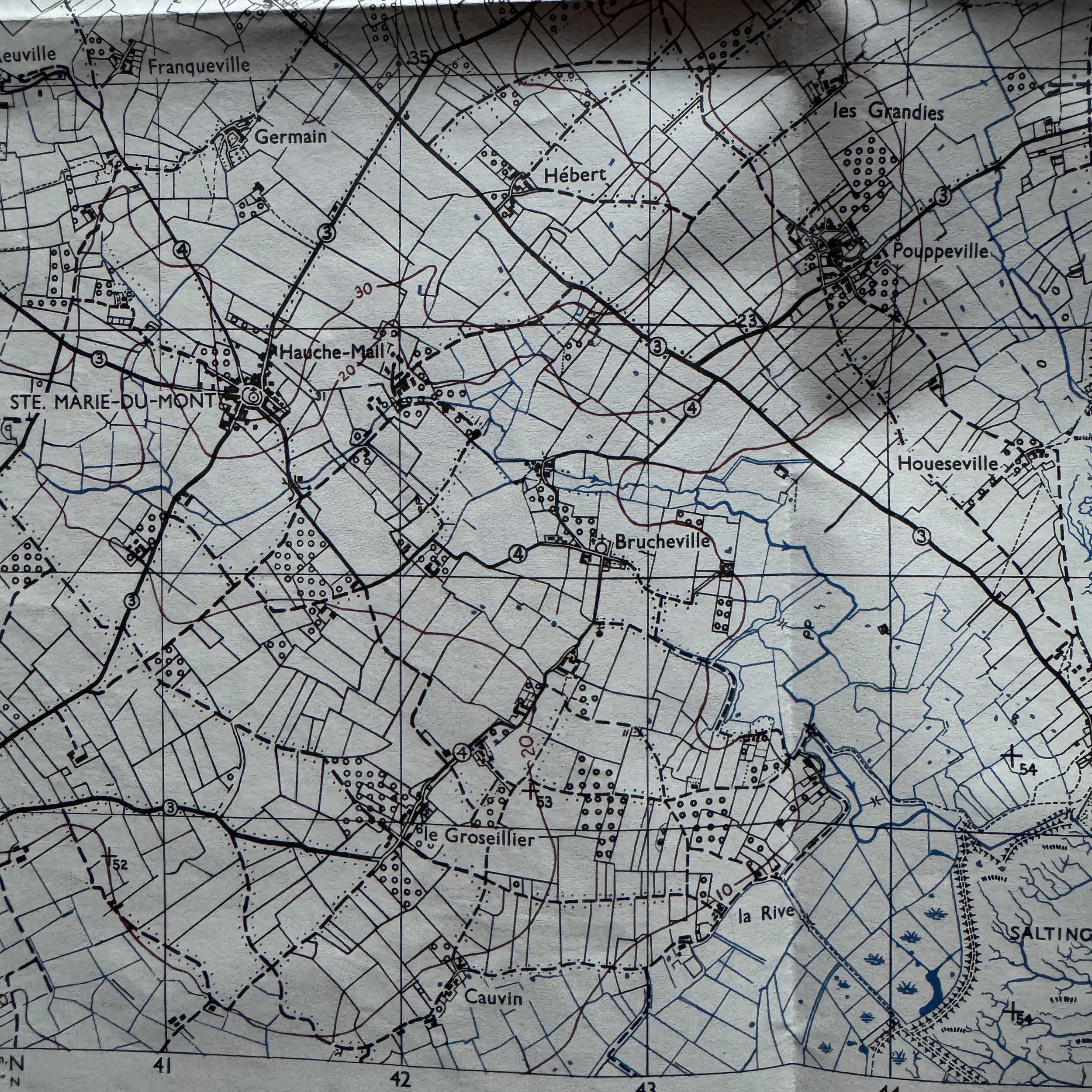
Ste. Marie-du-Mont: Located near the center-left of the map sheet, this town was the premier objective for the U.S. 101st Airborne Division ("Screaming Eagles"). It was the first French town liberated by American paratroopers on D-Day to secure the exits leading inland from Utah Beach.
la Madeleine & Banc de la Madeleine: Marked along the shoreline, la Madeleine represents the primary touchdown sector for the U.S. 4th Infantry Division on Utah Beach (Tare Green and Uncle Red sectors).
les Dunes de Varreville & St. Martin de Varreville: Visible along the northern coastal strip and inland, this sector marked the northern flank of Utah Beach, where U.S. 502nd Parachute Infantry Regiment (PIR) troops landed to neutralize German coastal artillery positions and secure Beach Exit 4.
Pouppeville: Positioned directly between the coast and Ste. Marie-du-Mont, this hamlet was the location of Exit 1.Units of the 101st Airborne secured Pouppeville early on D-Day morning, making first contact with the 8th Infantry Regiment coming off Utah Beach.
Holdy & Hiesville (adjacent hamlets near Haughe-Mail): Located just outside the Ste. Marie-du-Mont perimeter, these areas served as early drop zones (DZ C) and landing zones (LZ E) for gliders carrying headquarters elements of Major General Maxwell Taylor’s 101st Airborne Division.
le Varreville / le Mesnilde / la Pecherie: Key hamlets guarding the causeway routes across the flooded marshlands (marsh/salting areas mapped extensively along the coast), which Rommel’s forces had intentionally inundated to restrict Allied exits from the beach.
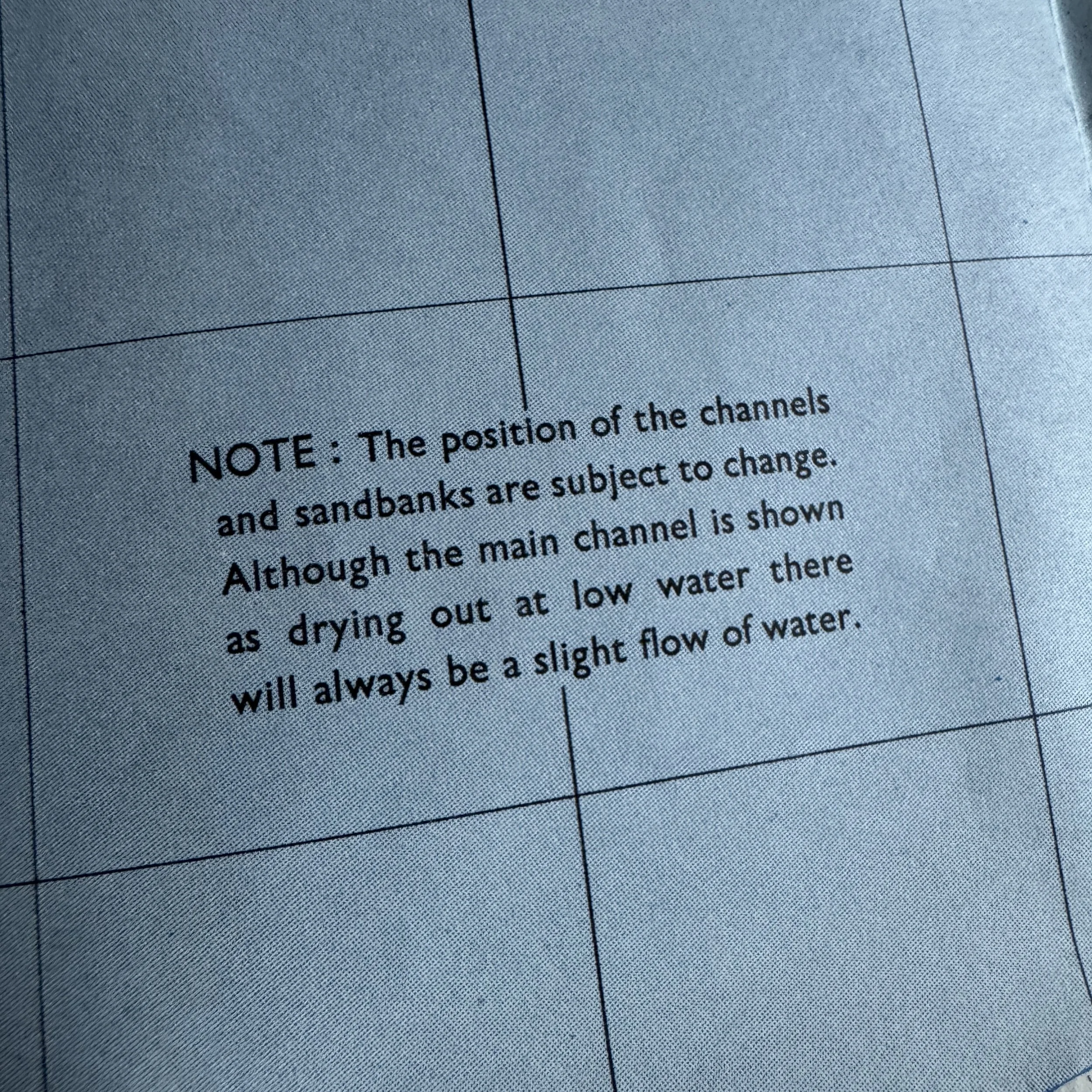
Bancs du Grand Vey / Passe de Carentan: The broad estuarine mudflats and tidal channels of the Douve and Vire rivers at the southern boundary of the sheet, dividing the American forces landing at Utah Beach from those at Omaha Beach.