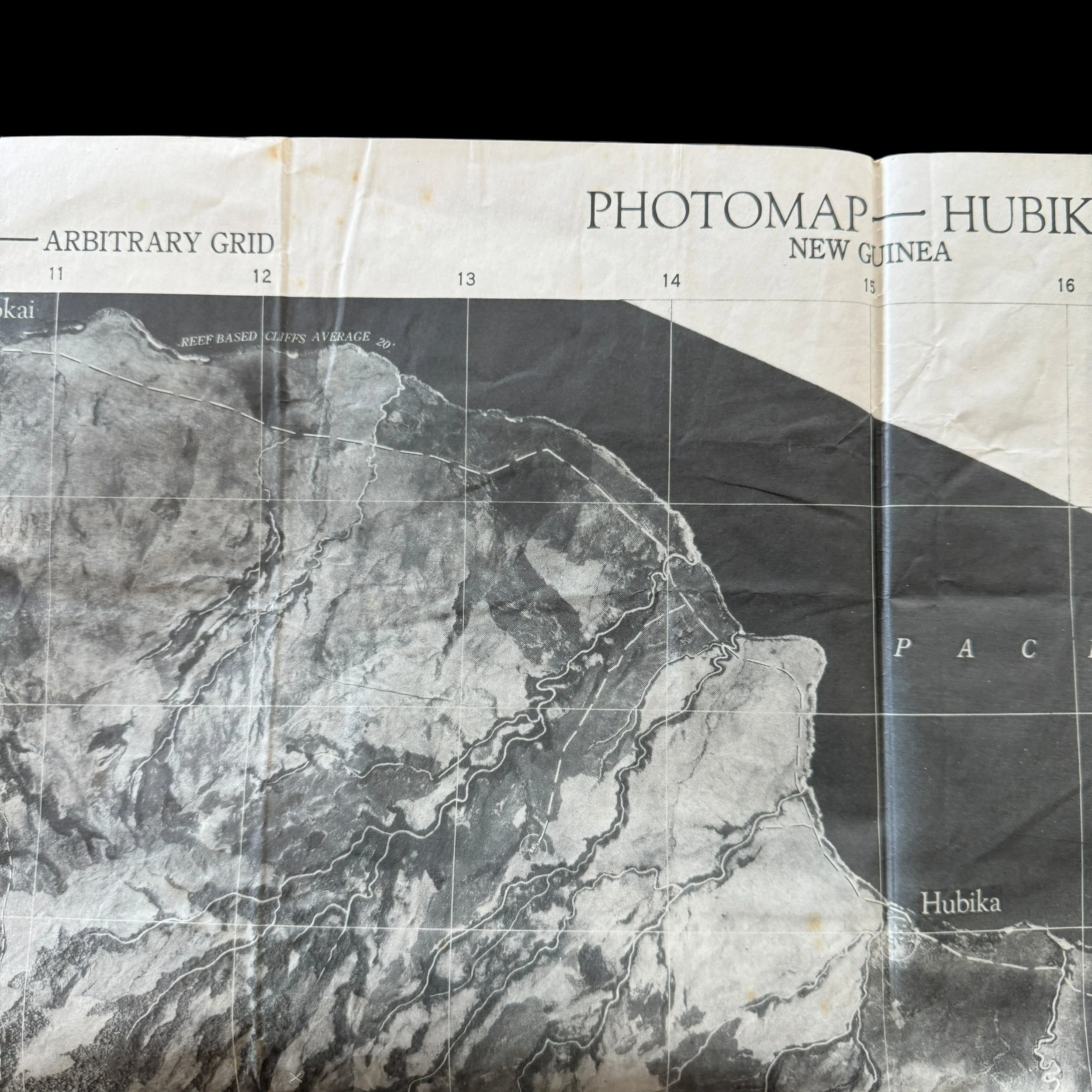
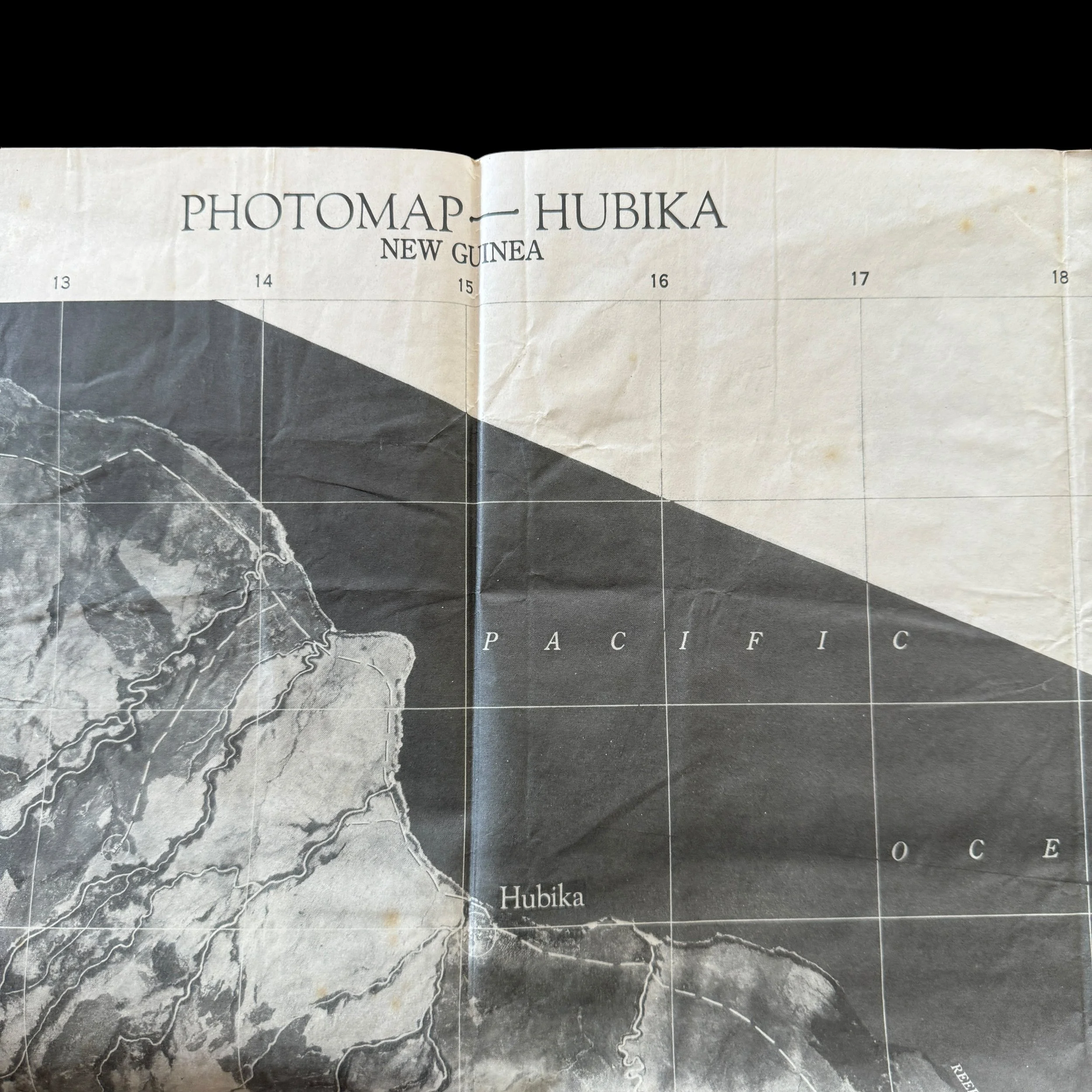
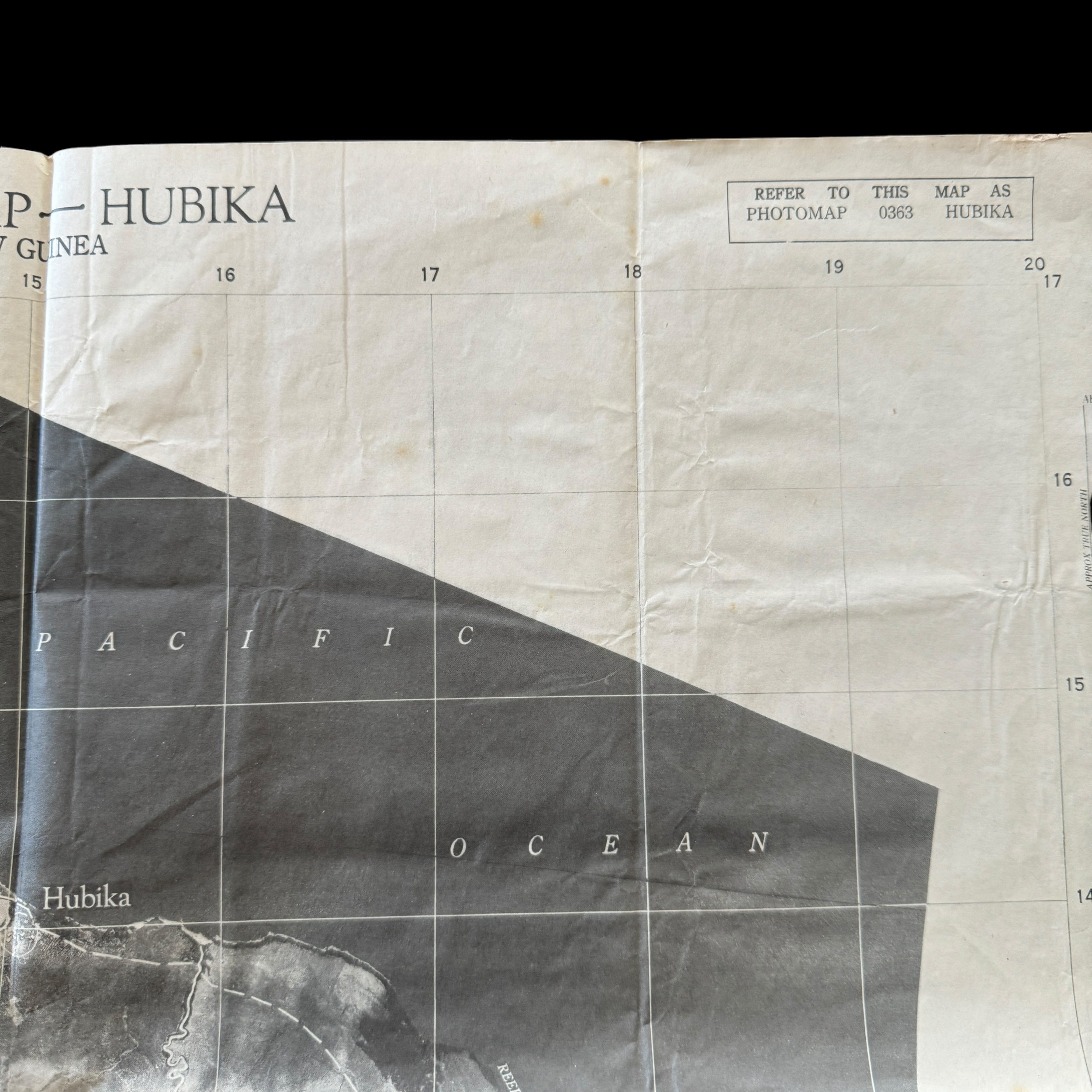
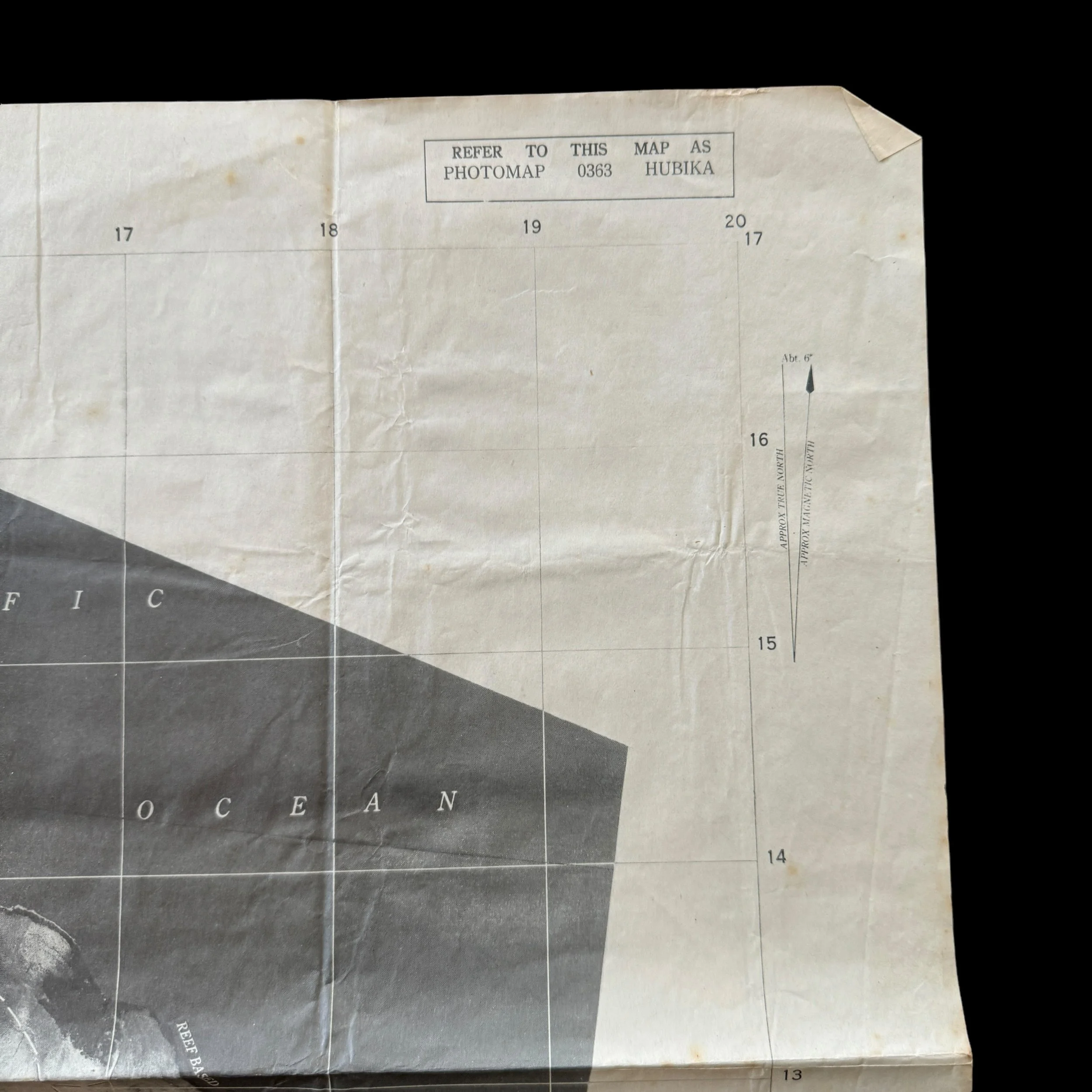
RARE! WWII 1943 New Guinea Campaign 8th Photo Reconnaissance Squadron (5th Air Force) Heavily Used HUBIKA Combat Aerial Photo Map

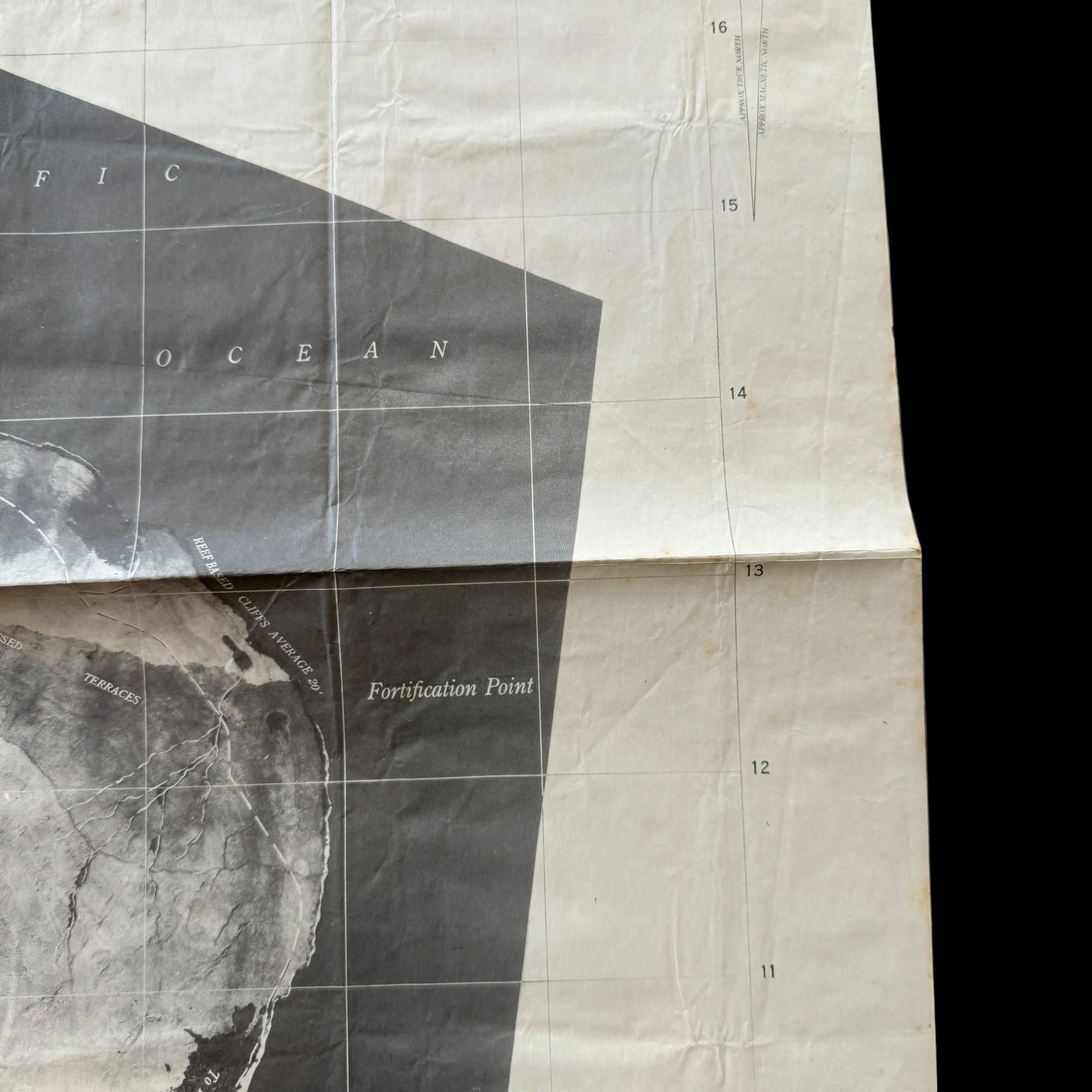
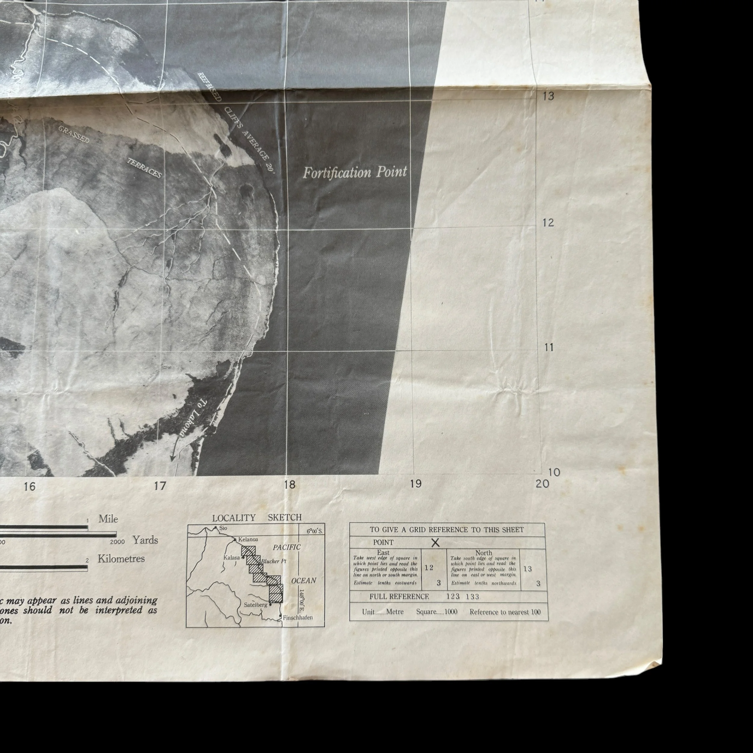

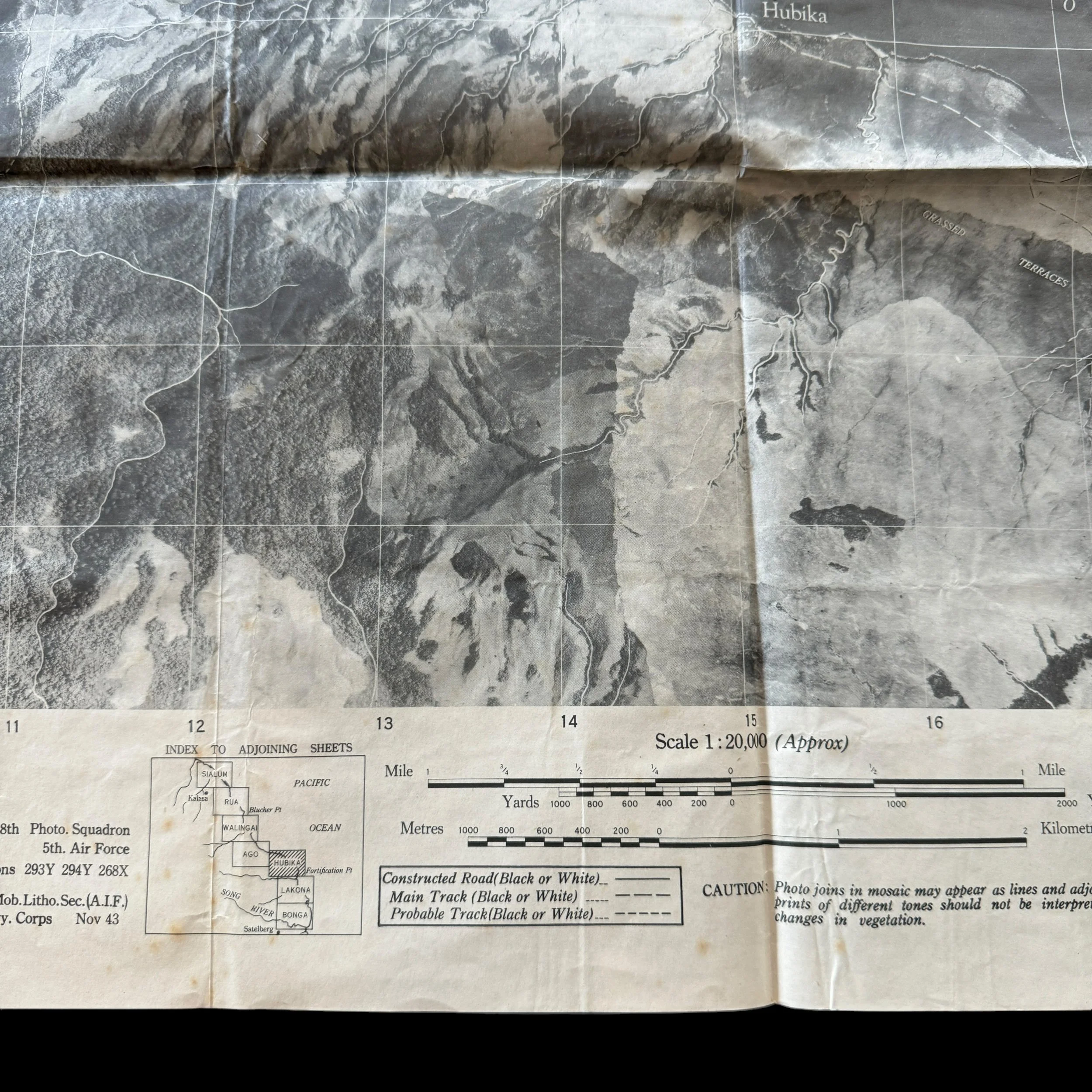
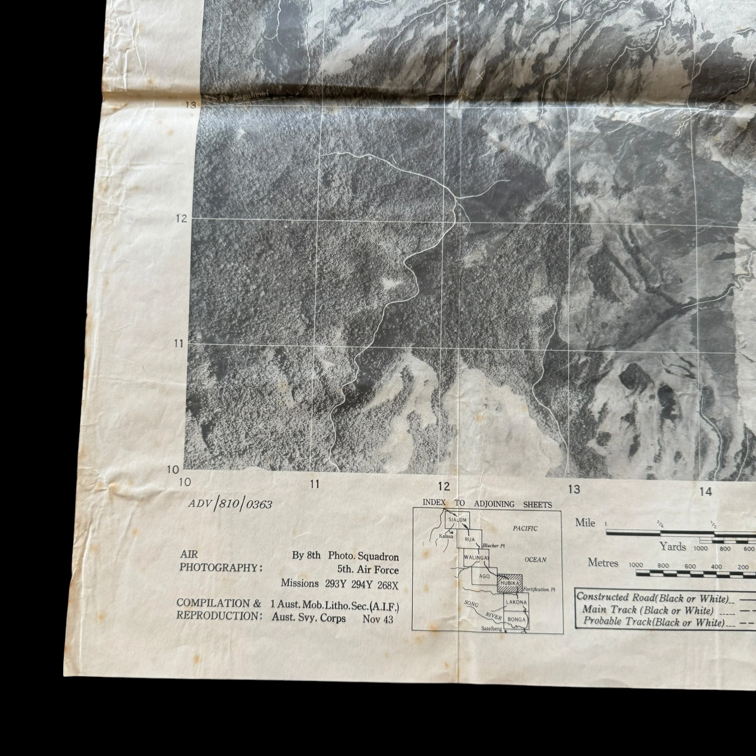

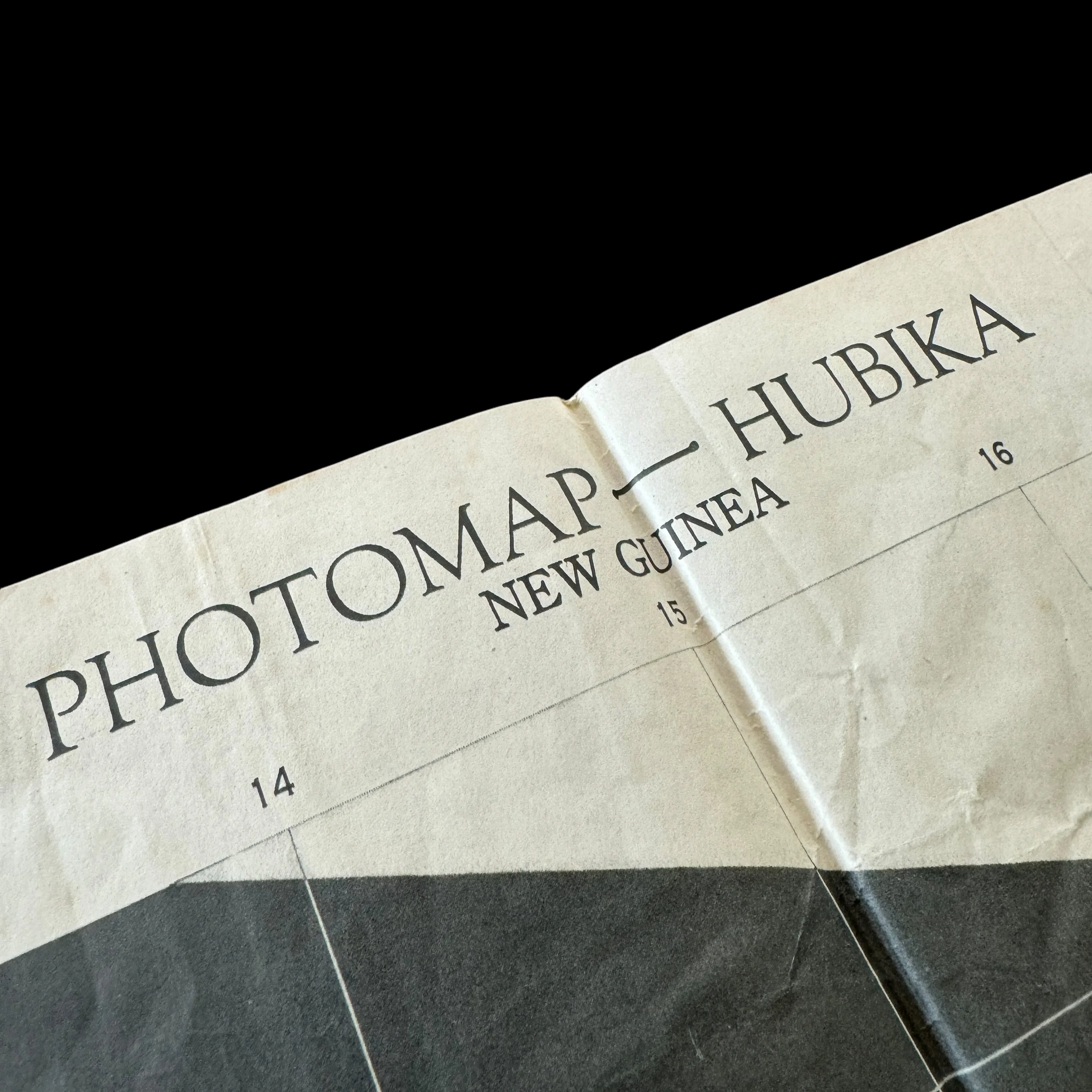


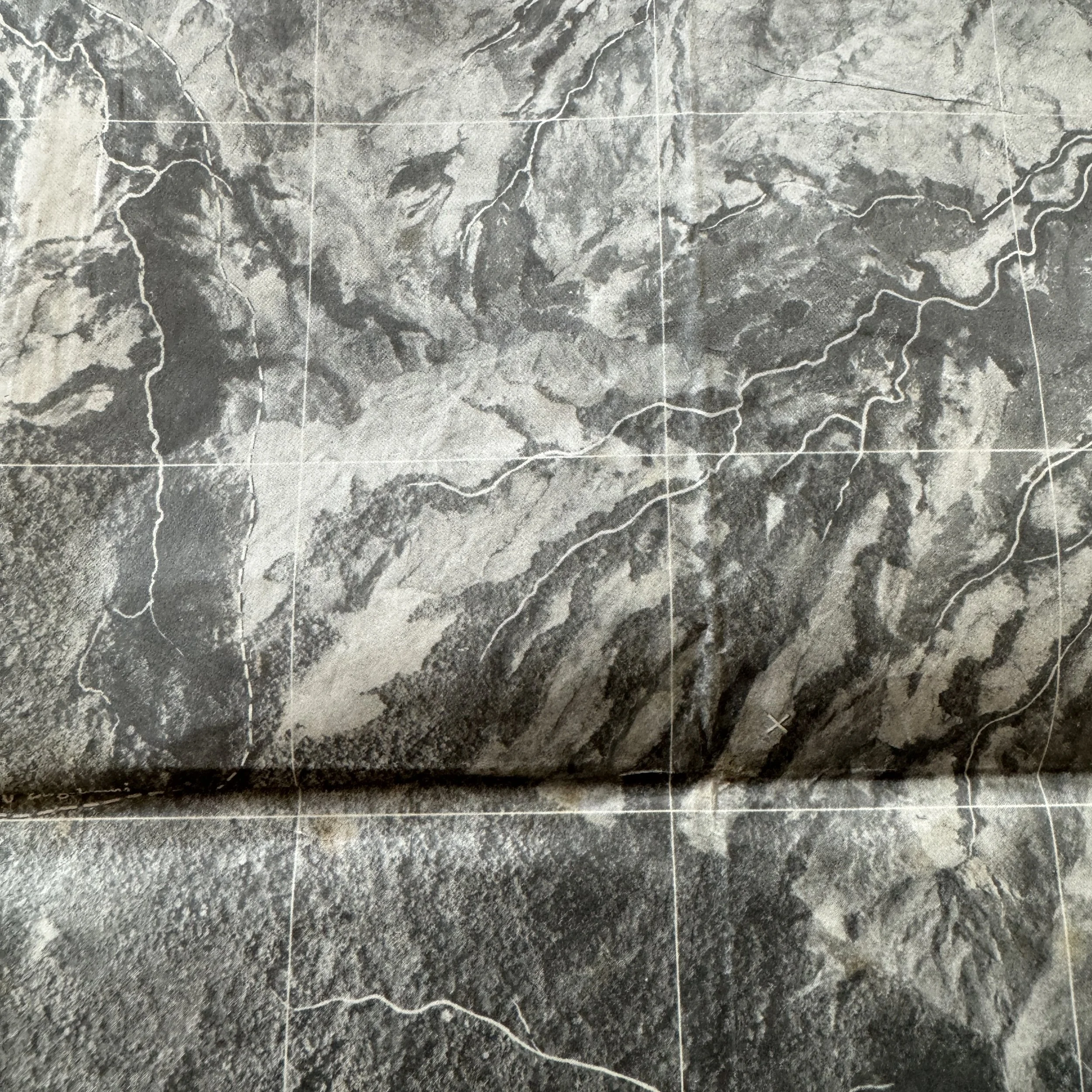


RARE! WWII 1943 New Guinea Campaign 8th Photo Reconnaissance Squadron (5th Air Force) Heavily Used HUBIKA Combat Aerial Photo Map
Comes with a hand-signed C.O.A.
*This New Guinea combat map is a part of a larger 8th Photo Recon Squadron bring-back collection of TYPE-ONE mission photographs (the same used to make these combat maps) as well as original Allied combat maps used during the New Guinea campaign.
Size: 18 × 23 inches
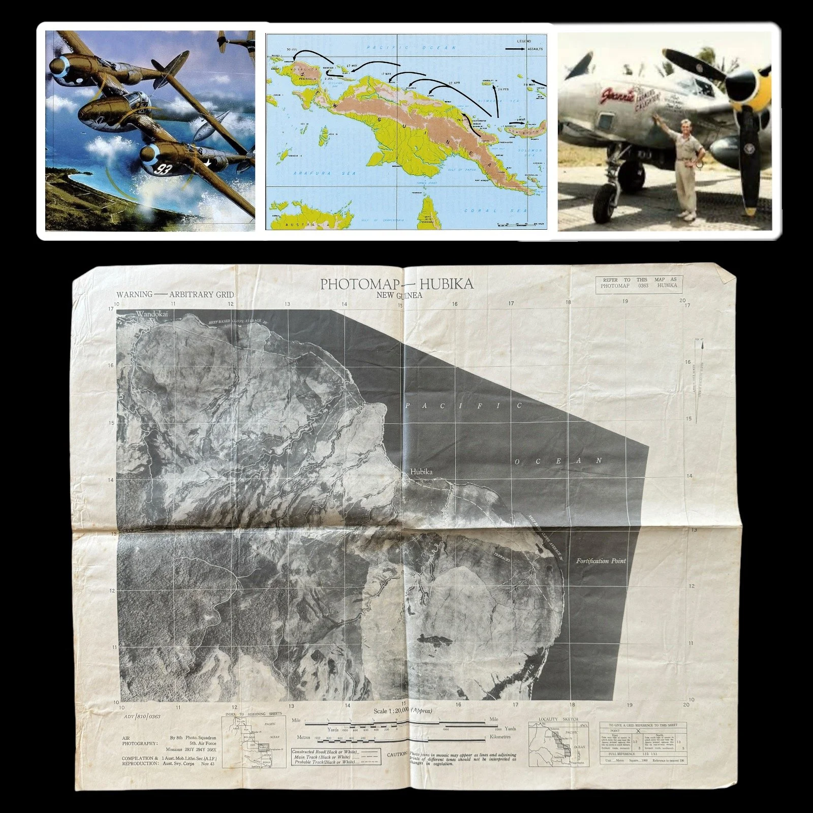
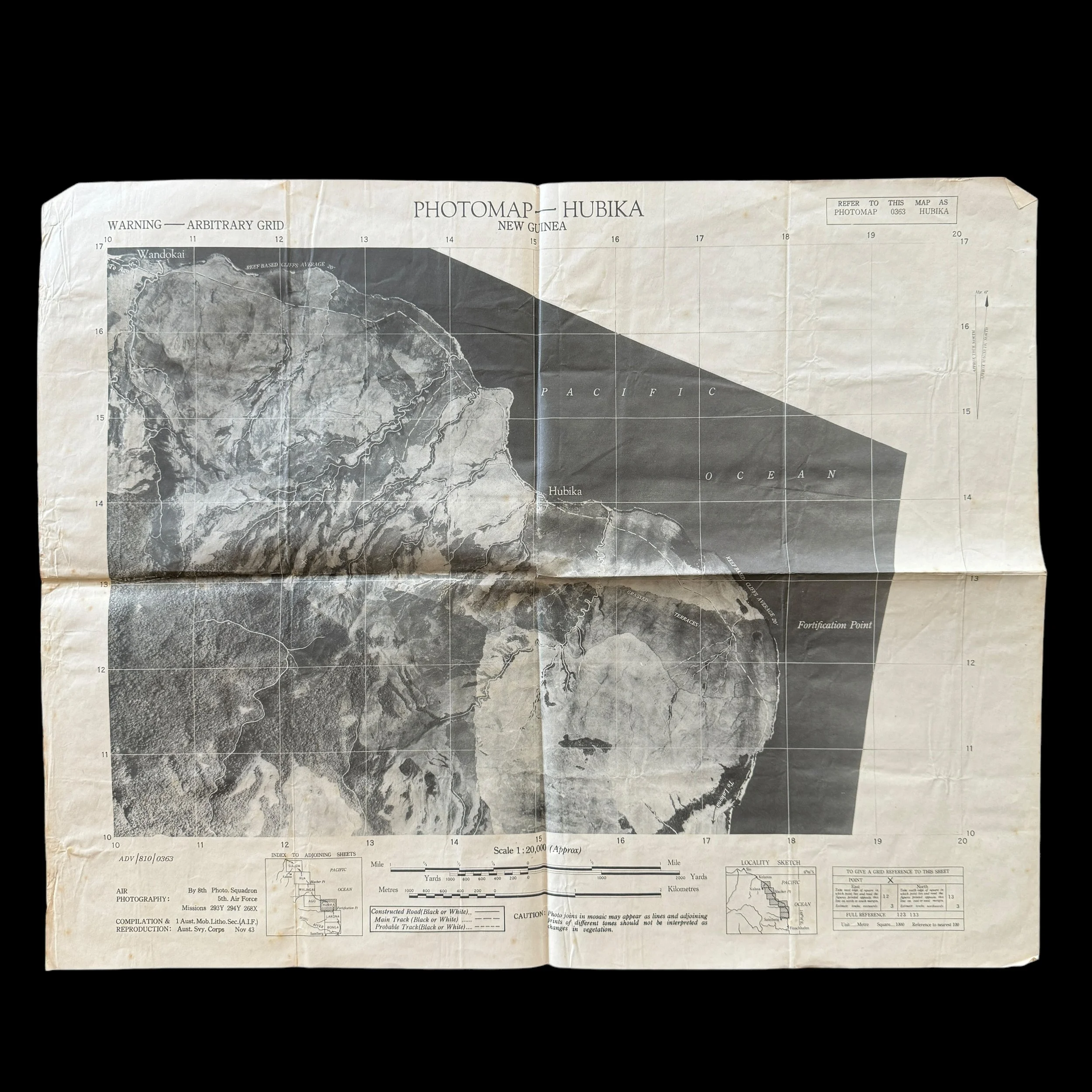
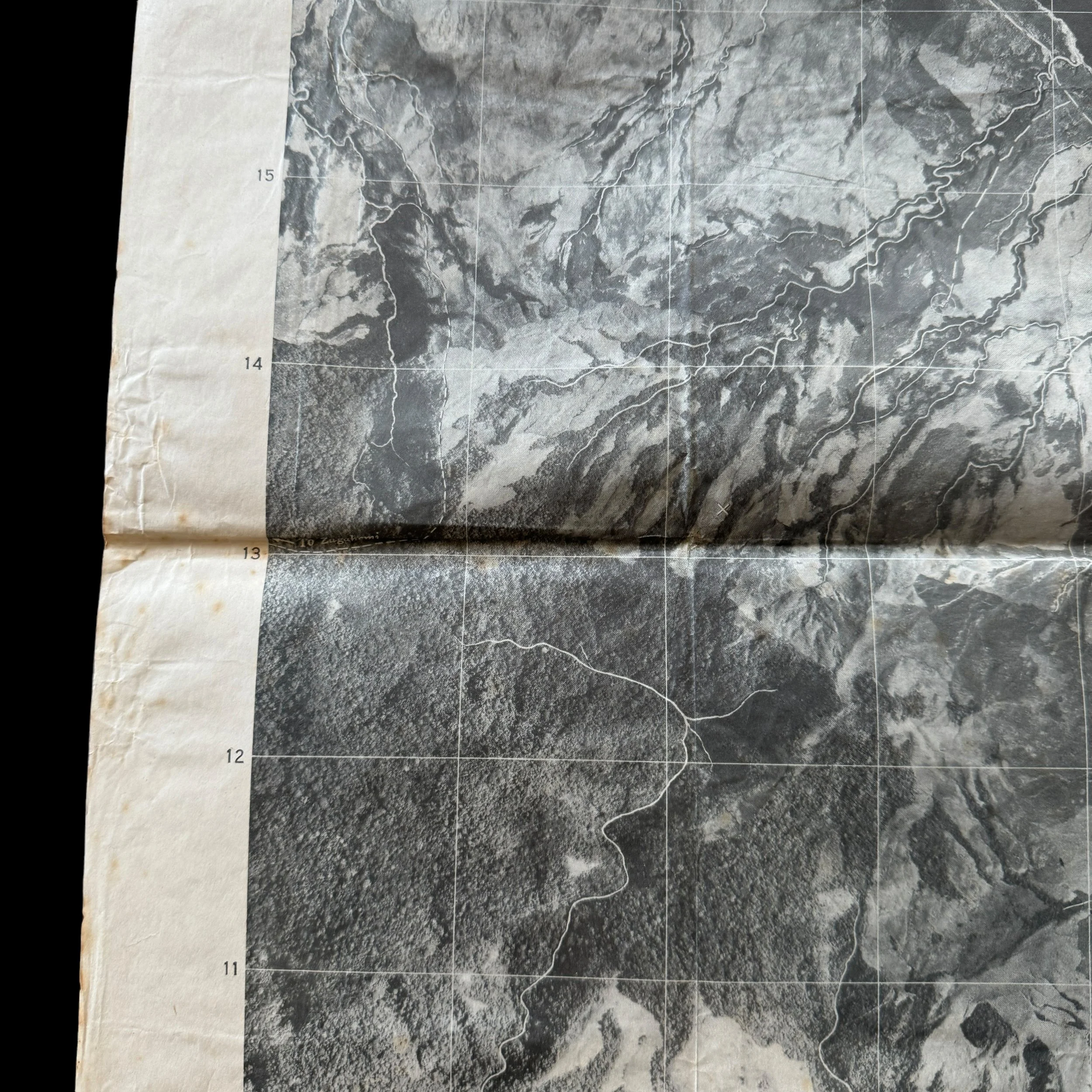
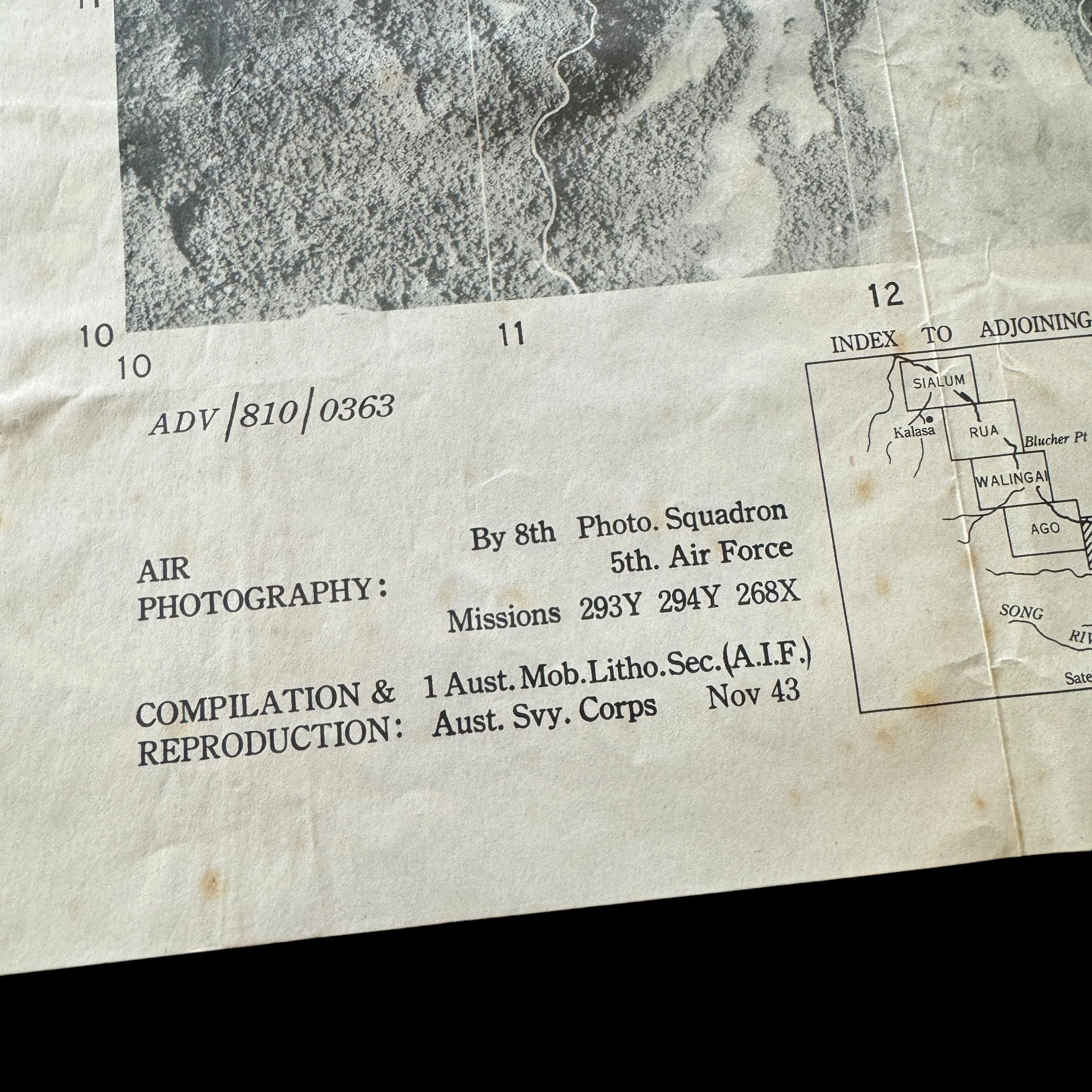
This extremely rare and museum-grade Pacific Theater WWII artifact is an original 1943 dated and heavily combat-used New Guinea photomap that was created using aerial photo reconnaissance mission photographs by the infamous 5th Air Force - 8th Photo Reconnaissance Squadron (Eight Ballers).
The 8th PRS, also known as the 8th Photo Reconnaissance Squadron, earned a renowned reputation for its exceptional service during campaigns across various regions including the East Indies, Japan, China, Papua, Guadalcanal, New Guinea, Northern Solomons, and Bismarck.
The 8th Photographic Reconnaissance Squadron (8th PRS) operated under the U.S. Army Air Force (USAAF), specifically part of the 5th Air Force and the 6th Photographic Reconnaissance Group (6th PRG). Referred to as the 8th Photographic Squadron, 8th Photo Recon Squadron, or 8th Photo Recon, the unit was initially outfitted with the F-4 Lightning, a specialized photographic reconnaissance variant of the P-38 Lightning. Camera equipment was installed in the nose section in lieu of traditional armaments. Conducting missions above Japanese-held territories and airfields, the squadron captured vital imagery utilized in the creation of aerial maps and target intelligence for subsequent combat operations. These reconnaissance flights were inherently perilous, with pilots often flying solitary missions through adverse weather conditions and challenging navigation circumstances. While over target areas, pilots maintained a steady flight path at lower altitudes to ensure high-quality photographic results, braving risks such as anti-aircraft artillery and potential interception by enemy planes. In later operations, F-4s received protective escort by armed P-38 Lightnings to enhance their defensive capabilities.
________________
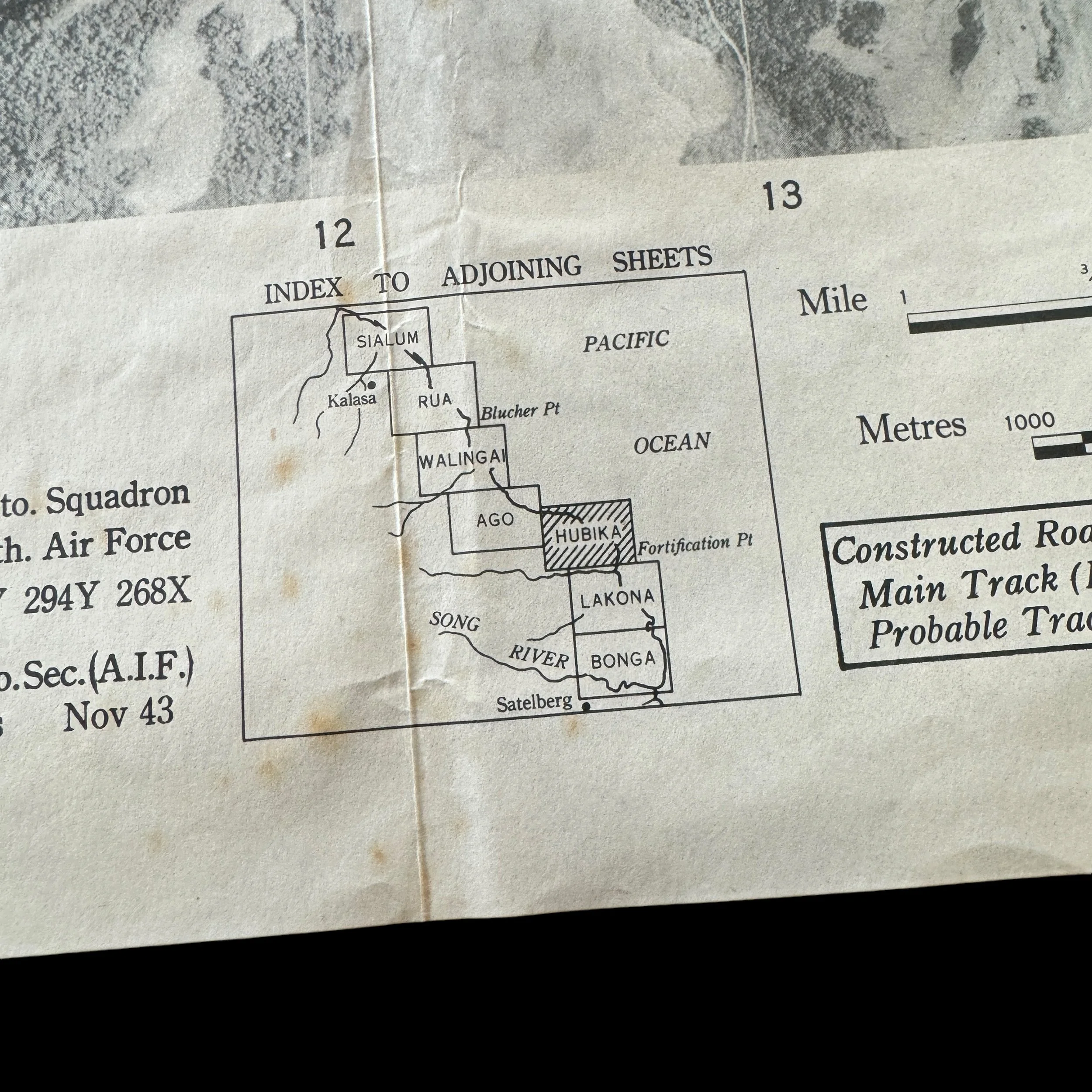
Hubika, New Guinea
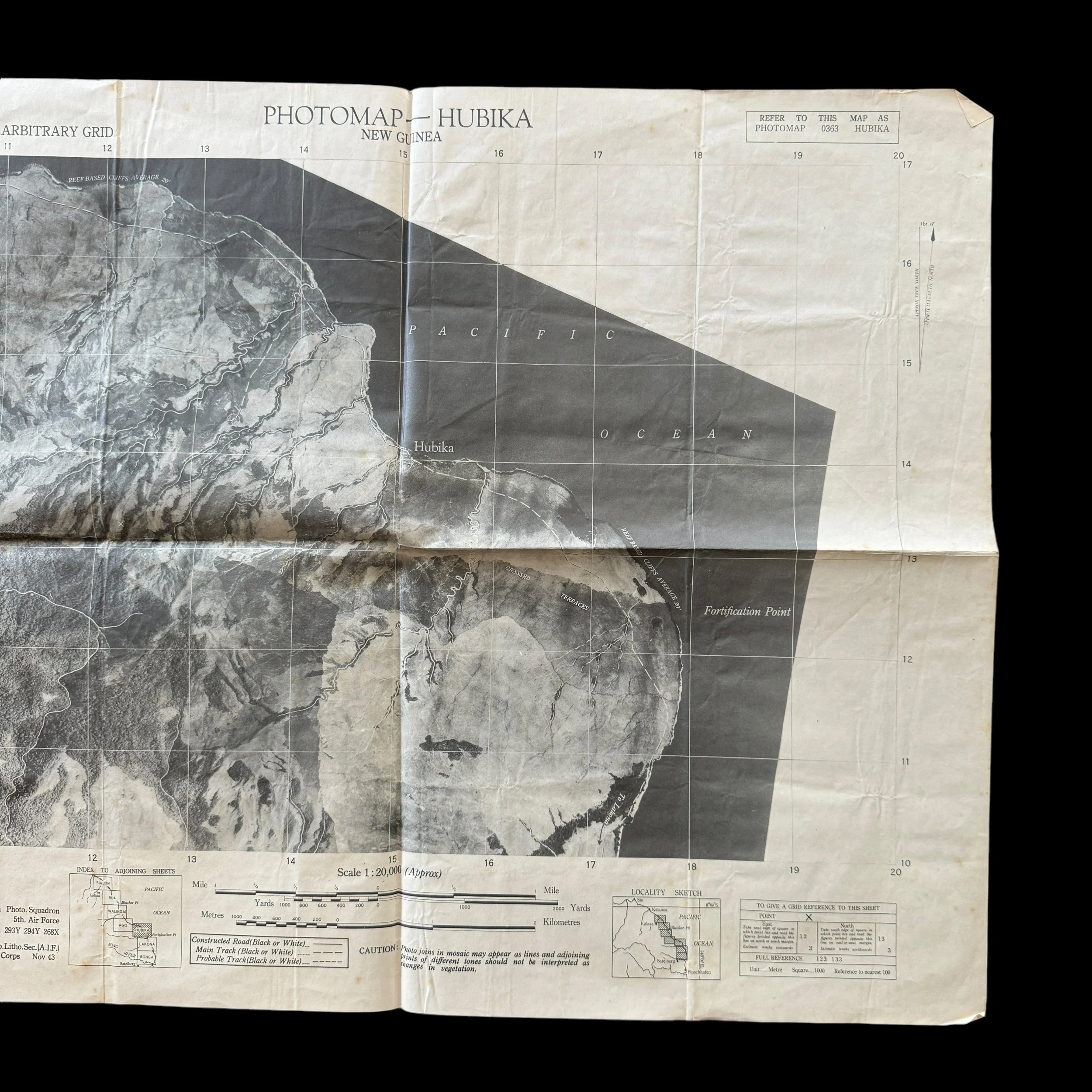
Hubika, a lesser-known yet significant location in the New Guinea campaign, provided the Allies with critical inland access. Situated in challenging jungle terrain, Hubika served as a connecting point for supply lines and troop movements, crucial to sustaining Allied operations in New Guinea’s dense and unforgiving jungles. The mountainous regions around Hubika required grueling marches over steep, muddy trails where soldiers often faced disease, exhaustion, and ambushes from Japanese forces well-versed in jungle warfare. The Allies made painstaking efforts to maintain supply lines to Hubika, using airdrops and local porters who trekked through thick forests and across rivers. Hubika also played a key role in disrupting Japanese supply lines, as Allied forces used it to launch smaller strikes, gradually weakening Japanese strongholds in nearby regions.
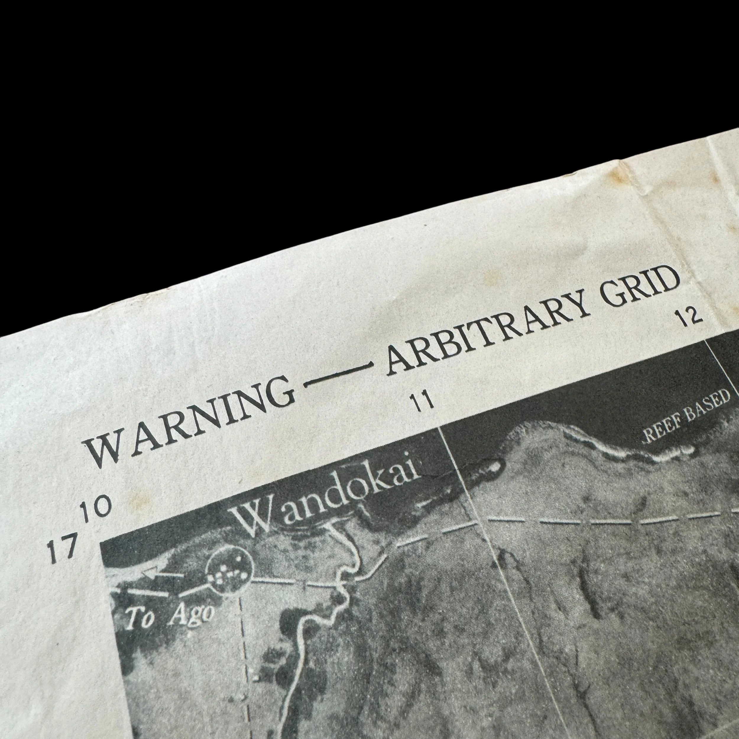
Wandokai, New Guinea
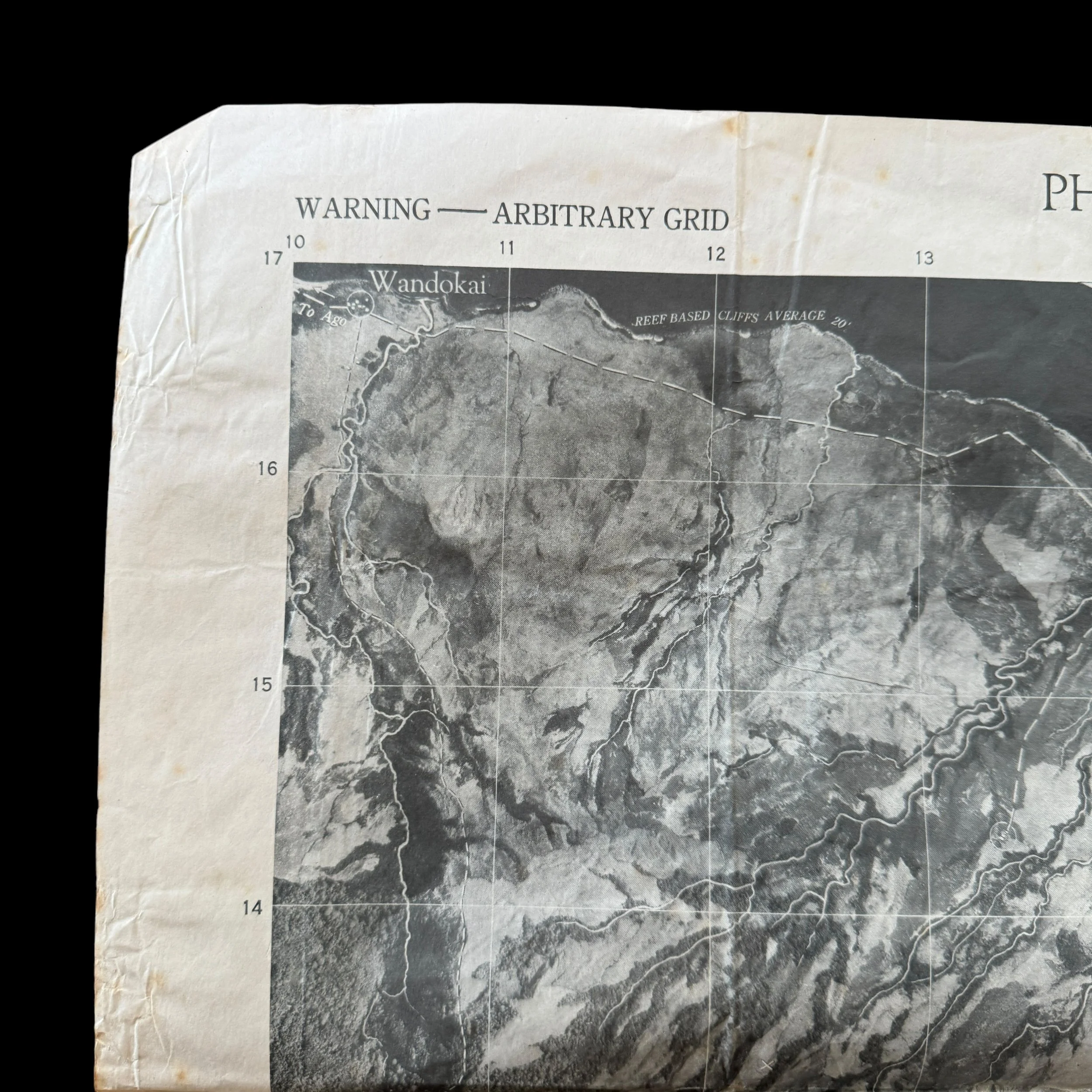
Wandokai held strategic importance due to its positioning near key routes in New Guinea's northern sector. Known for its marshy terrain and dense undergrowth, Wandokai tested the resilience and tactical acumen of Allied troops. Japanese forces often used natural cover to set up hidden bunkers and sniper positions, taking advantage of the landscape to inflict considerable losses on the Allies. The humid, swampy conditions of Wandokai made it difficult for either side to maintain supply chains and transport heavy artillery. Disease outbreaks, particularly malaria, claimed more lives than combat in Wandokai, as Allied forces struggled with limited medical resources in the harsh terrain.
Despite these difficulties, Wandokai became a symbol of Allied persistence. Smaller-scale, tactical skirmishes in the area wore down Japanese troops, and each victory was hard-won. Allied air support, crucial in supporting ground operations, flew frequent missions over Wandokai to target Japanese bunkers and supply routes, gradually pushing the Japanese back. These air strikes were risky due to New Guinea’s unpredictable weather patterns and the challenging topography, which made visibility and maneuverability challenging for pilots.
Fortification Point, New Guinea
Fortification Point was strategically significant for its high ground and its role as a Japanese observation post and defensive stronghold. Situated on the northern coast, it allowed the Japanese to monitor Allied naval movements, making it a prime location for heavy fortifications and artillery placements. Japanese troops constructed bunkers and defensive structures, taking advantage of the natural rocky landscape and high cliffs to create formidable defenses. The Allied campaign to capture Fortification Point required both naval bombardment and coordinated ground assaults. Commanders recognized that securing Fortification Point was crucial for protecting supply lines and establishing a staging ground for advancing further into Japanese-held territory.
The battle for Fortification Point involved intense, close-quarters combat, with Allied forces engaging Japanese troops in dense vegetation and rocky terrain. The terrain around Fortification Point favored defensive tactics, forcing Allied troops to use flamethrowers, grenades, and explosives to clear bunkers and fortified positions. The steep ascent to Fortification Point, combined with relentless Japanese counterattacks, led to high casualties for both sides. Allied forces ultimately succeeded in capturing Fortification Point, but the victory underscored the harsh realities of fighting in New Guinea. Holding the point allowed the Allies to disrupt Japanese reconnaissance and established a secure observation post, marking a turning point in weakening Japanese control over northern New Guinea.
________________
During World War II, combat photomaps were a vital tool for planning and executing military operations, particularly in challenging terrains like those found in the South Pacific, including New Guinea. Photomaps were created using aerial reconnaissance photographs combined with traditional cartographic techniques, providing highly accurate and detailed visual maps of terrain, structures, vegetation, and potential enemy positions. These maps were especially important in areas like New Guinea, where dense jungles, rugged mountains, and poorly charted territories made traditional navigation and planning extremely difficult.
The Strategic Importance of Photomaps in New Guinea
New Guinea was a key battleground in the Pacific Theater, as both Allied and Japanese forces sought control over the region due to its strategic proximity to Australia and critical supply routes. The dense jungle terrain and steep mountains made conventional maps inadequate, so photomaps became indispensable. These maps gave Allied forces a strategic advantage, as they could accurately pinpoint natural obstacles, river crossings, potential landing zones, and enemy fortifications—information that was crucial for planning ambushes, supply drops, and coordinated assaults.
In New Guinea, Allied forces needed to identify and navigate through uncharted jungle terrain, plan airstrikes, and locate Japanese supply lines and bases hidden in natural cover. Photomaps allowed military leaders to accurately identify these critical areas, providing vital intelligence for tactical planning. Allied forces used photomaps extensively in key operations, such as the capture of the Kokoda Track, the Buna-Gona campaign, and the Battle of Wau, where knowledge of terrain often determined the outcome of engagements.
The Creation and Use of Photomaps
Photomaps were produced by taking multiple high-resolution aerial photographs, often from reconnaissance planes flying at high altitudes. These photographs would then be stitched together to create a detailed composite of the area. The accuracy of photomaps depended heavily on the quality of the photographs and the skill of the cartographers who aligned them. In New Guinea, challenging weather conditions, such as tropical storms, heavy cloud cover, and mountainous terrain, complicated aerial photography, making photomap creation a demanding task that required patience and precision.
Once photomaps were created, they were distributed to field commanders, pilots, and ground troops. These maps allowed soldiers to plan their approach routes, identify enemy defenses, and navigate difficult terrain without the need for detailed topographic maps, which often weren’t available or were outdated. For example, in the Battle of Buna-Gona, photomaps enabled Allied forces to pinpoint Japanese bunkers, hidden artillery positions, and supply trails that would have been invisible in standard maps or field reports. This level of detail was critical in planning precise airstrikes and ground movements, which were essential in securing victory in such a complex environment.
Impact on Air and Ground Operations
Photomaps were especially useful in coordinating air and ground operations. The Royal Australian Air Force (RAAF) and the United States Army Air Forces (USAAF) used photomaps to identify bombing targets, enemy fortifications, and supply depots. Bombers could plan their approach routes and targeting patterns based on detailed topography provided by photomaps, reducing the risk of collateral damage and improving the success rate of airstrikes. During the Battle of Wau, for instance, photomaps allowed Allied pilots to navigate through dense cloud cover and steep mountain ranges to deliver much-needed supplies and reinforcements to Allied forces engaged in battle.
For ground forces, photomaps were invaluable in planning amphibious landings and troop movements across challenging terrain. Troops could avoid natural barriers such as swamps, cliffs, and rivers, and identify more accessible routes through dense jungle areas. This knowledge allowed for more efficient movement and positioning of forces, helping troops to maintain the element of surprise in their engagements with Japanese forces.
In amphibious operations, such as those around Lae and Salamaua, photomaps helped commanders choose landing sites that offered cover and proximity to key objectives. The maps provided enough detail to allow for effective coordination between infantry, artillery, and air support units, maximizing the efficiency of Allied assaults on Japanese-held positions.
Legacy and Influence
The use of photomaps in New Guinea marked a turning point in military cartography, establishing photoreconnaissance as a critical component of modern warfare. These maps set a new standard for military intelligence and planning, showcasing the potential of aerial reconnaissance to provide real-time data and highly accurate visual information. The success of photomap-based operations in New Guinea helped influence the development of satellite imagery and geospatial intelligence systems used in modern military and civilian applications.