RARE! WWII New Guinea 8th Photo Recon Squadron 5th Air Force SEPIK EAST Combat Aerial Photograph Map








RARE! WWII New Guinea 8th Photo Recon Squadron 5th Air Force SEPIK EAST Combat Aerial Photograph Map
Comes with a hand-signed C.O.A.
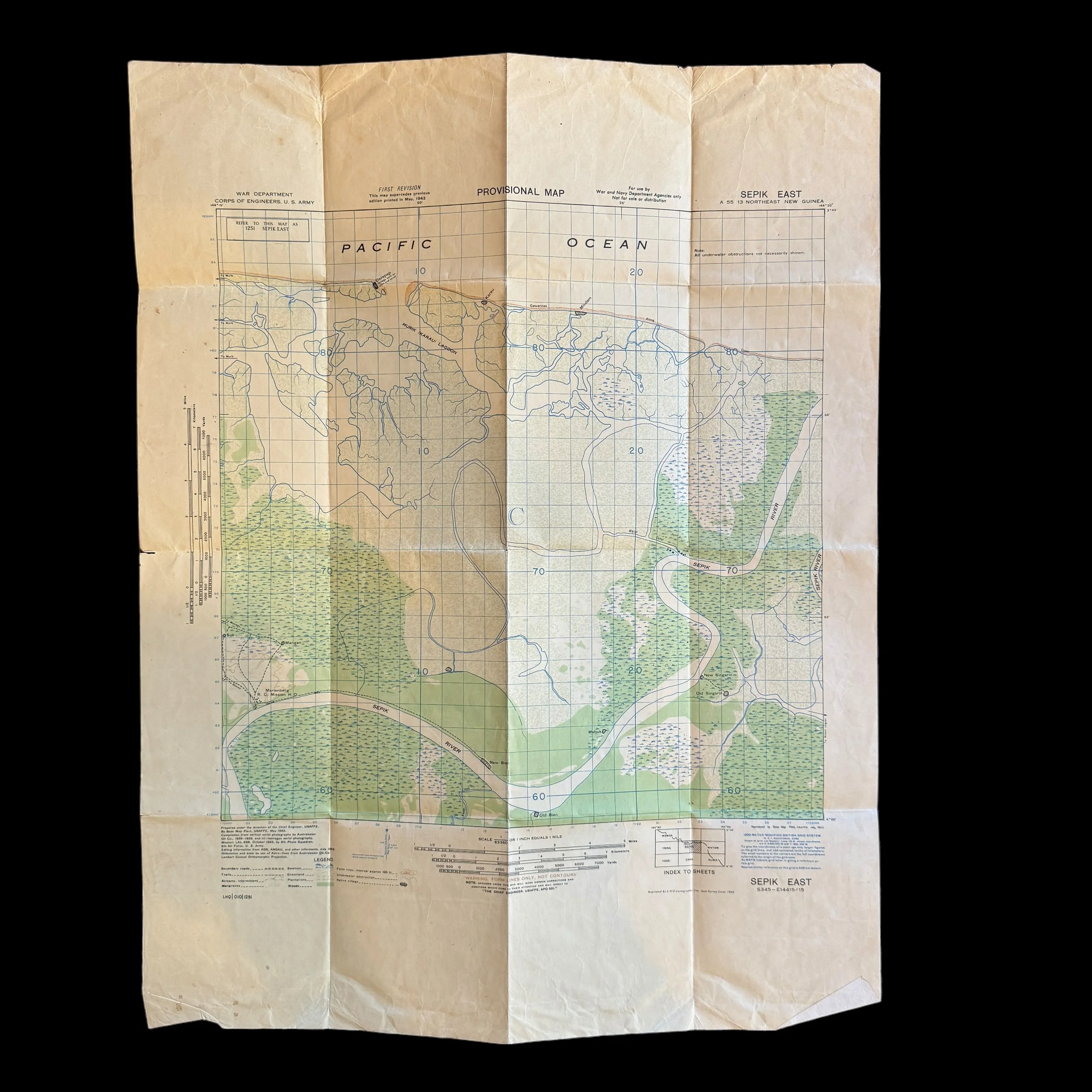
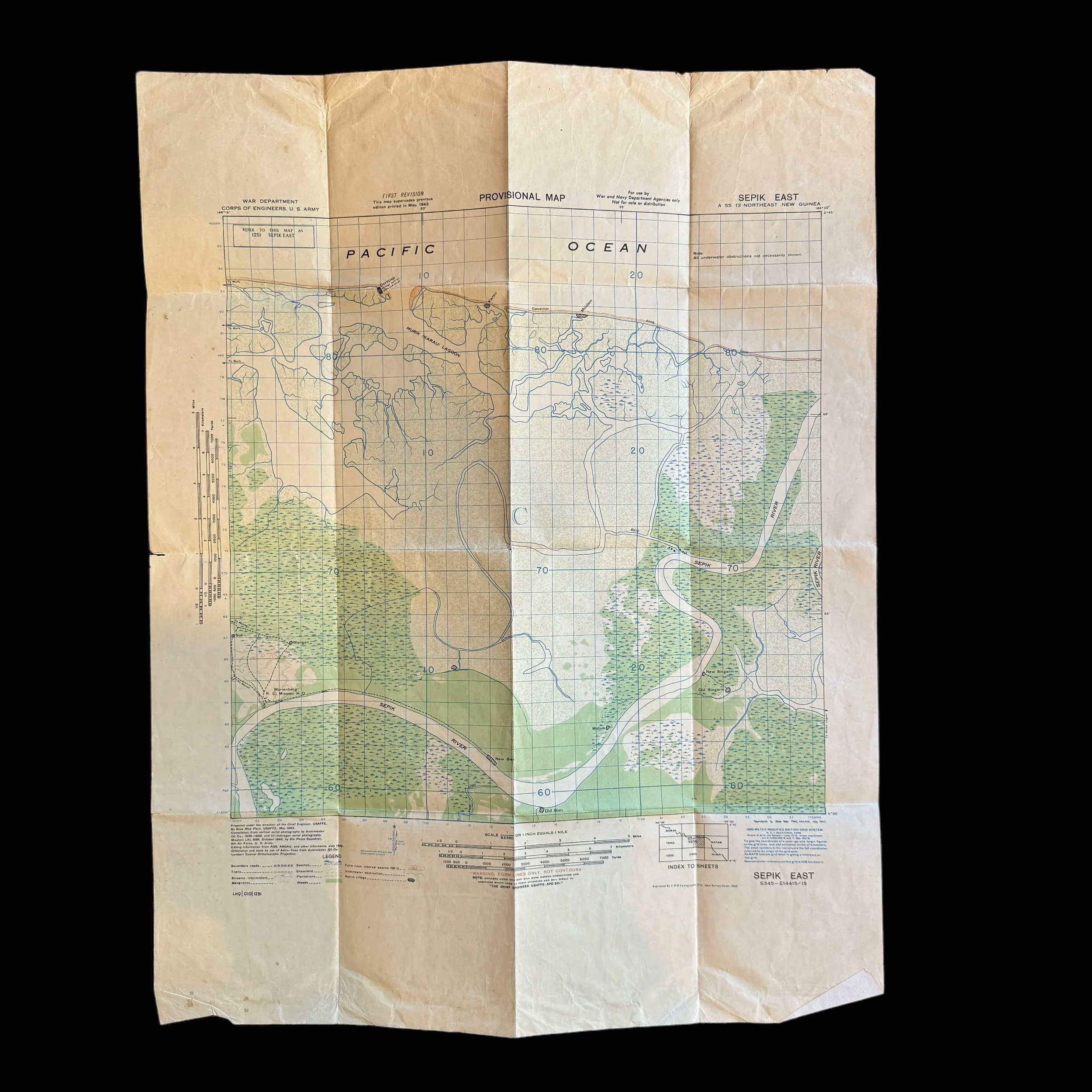
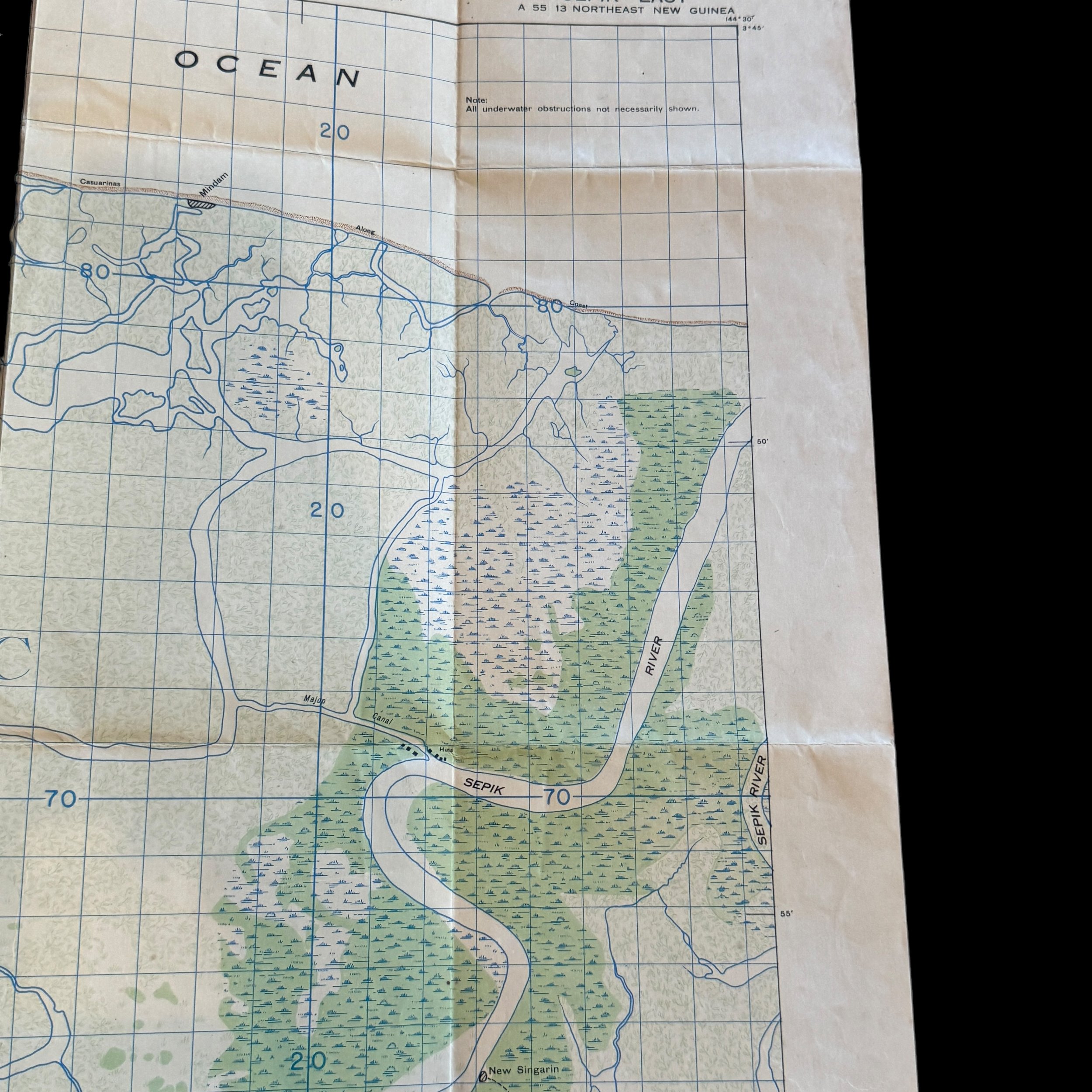
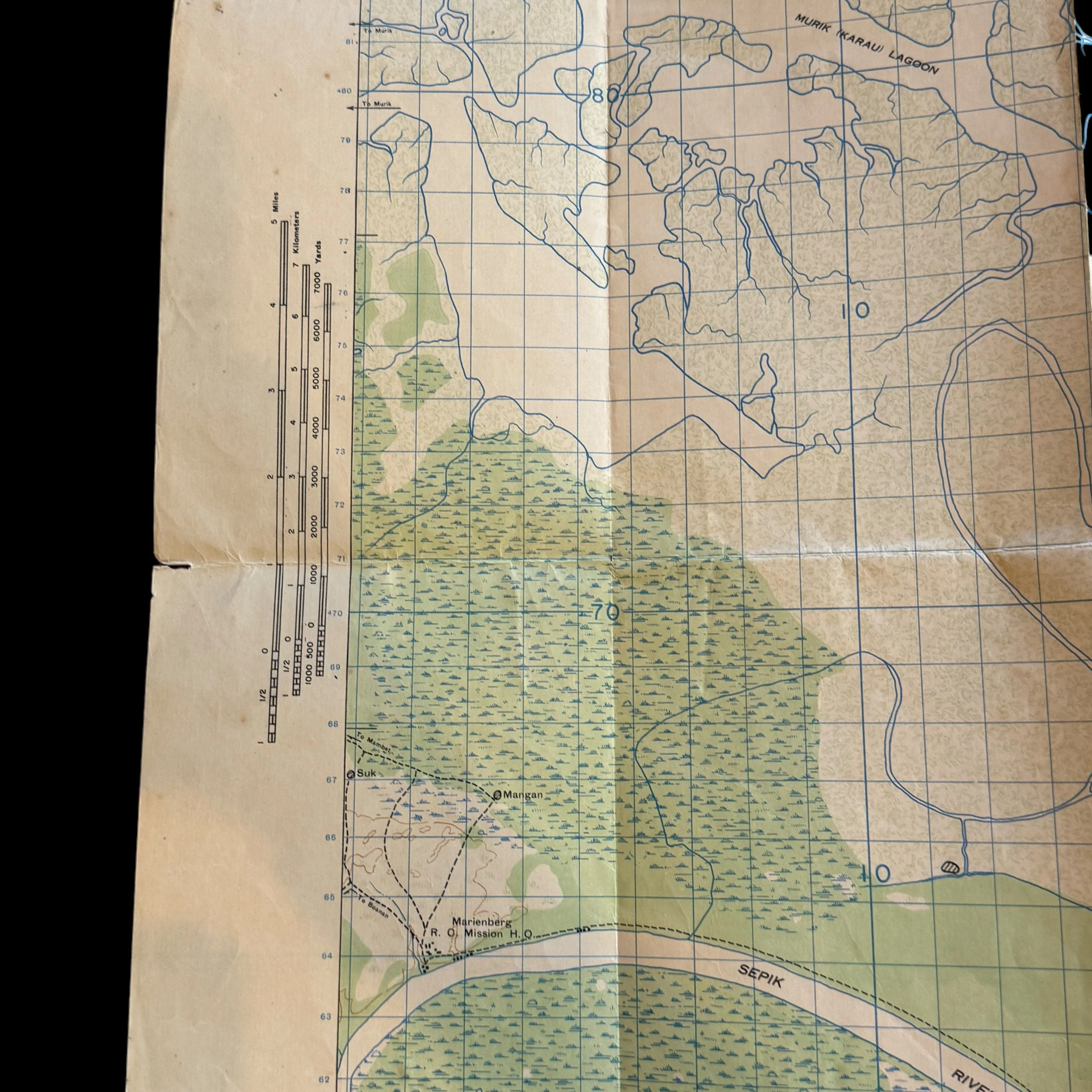
This rare and museum-grade WWII artifact is an original New Guinea combat map from the infamous 8th Photo Reconnaissance Squadron (Eight Ballers) used during aerial missions in the Pacific Theater.
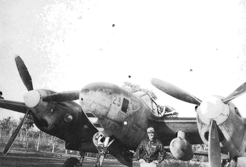
The 8th Photographic Reconnaissance Squadron (8th PRS) operated under the U.S. Army Air Force (USAAF), specifically part of the 5th Air Force and the 6th Photographic Reconnaissance Group (6th PRG). Referred to as the 8th Photographic Squadron, 8th Photo Recon Squadron, or 8th Photo Recon, the unit was initially outfitted with the F-4 Lightning, a specialized photographic reconnaissance variant of the P-38 Lightning. Camera equipment was installed in the nose section in lieu of traditional armaments. Conducting missions above Japanese-held territories and airfields, the squadron captured vital imagery utilized in the creation of aerial maps and target intelligence for subsequent combat operations. These reconnaissance flights were inherently perilous, with pilots often flying solitary missions through adverse weather conditions and challenging navigation circumstances. While over target areas, pilots maintained a steady flight path at lower altitudes to ensure high-quality photographic results, braving risks such as anti-aircraft artillery and potential interception by enemy planes. In later operations, F-4s received protective escort by armed P-38 Lightnings to enhance their defensive capabilities.
The 8th PRS, also known as the 8th Photo Reconnaissance Squadron, earned a renowned reputation for its exceptional service during campaigns across various regions including the East Indies, Japan, China, Papua, Guadalcanal, New Guinea, Northern Solomons, and Bismarck.
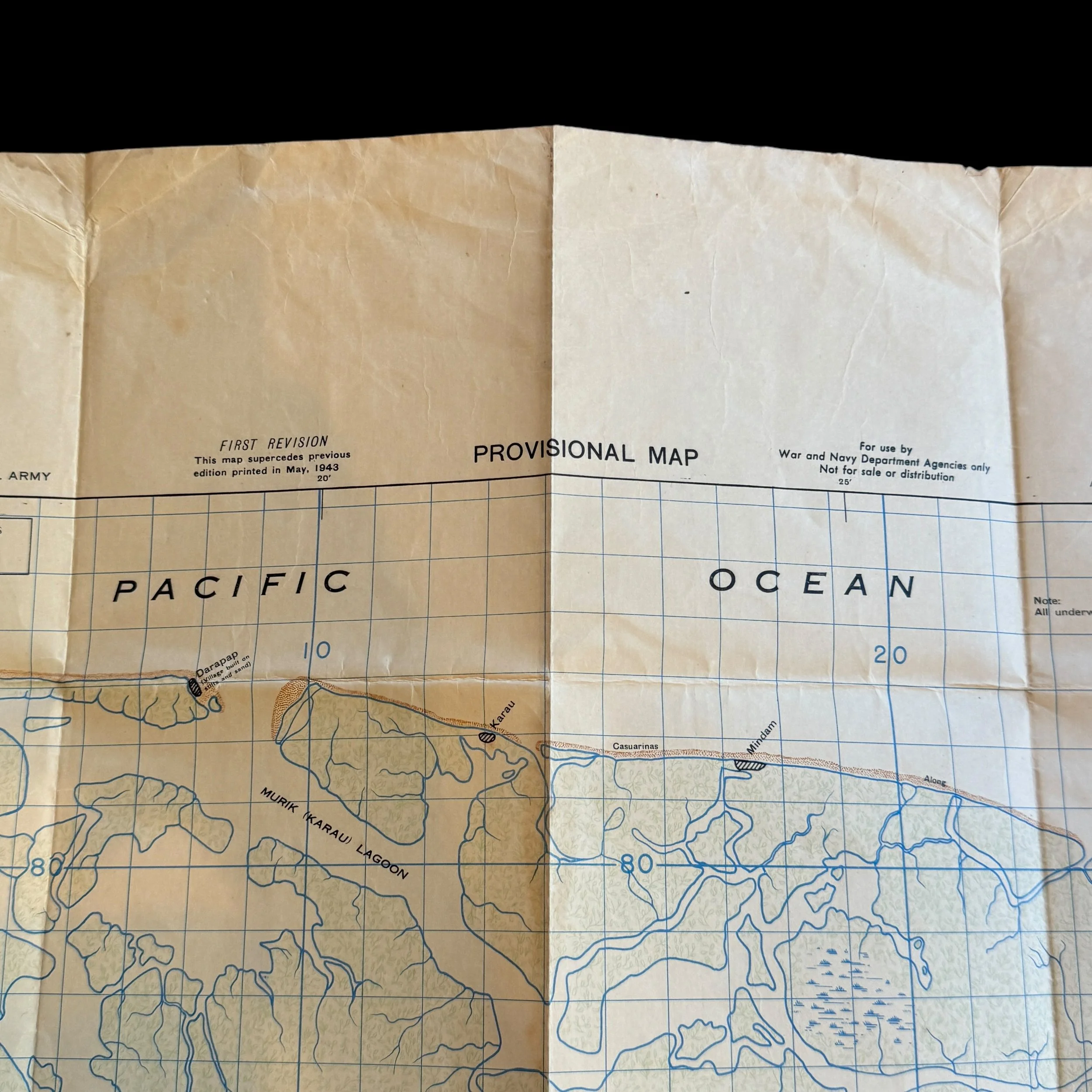
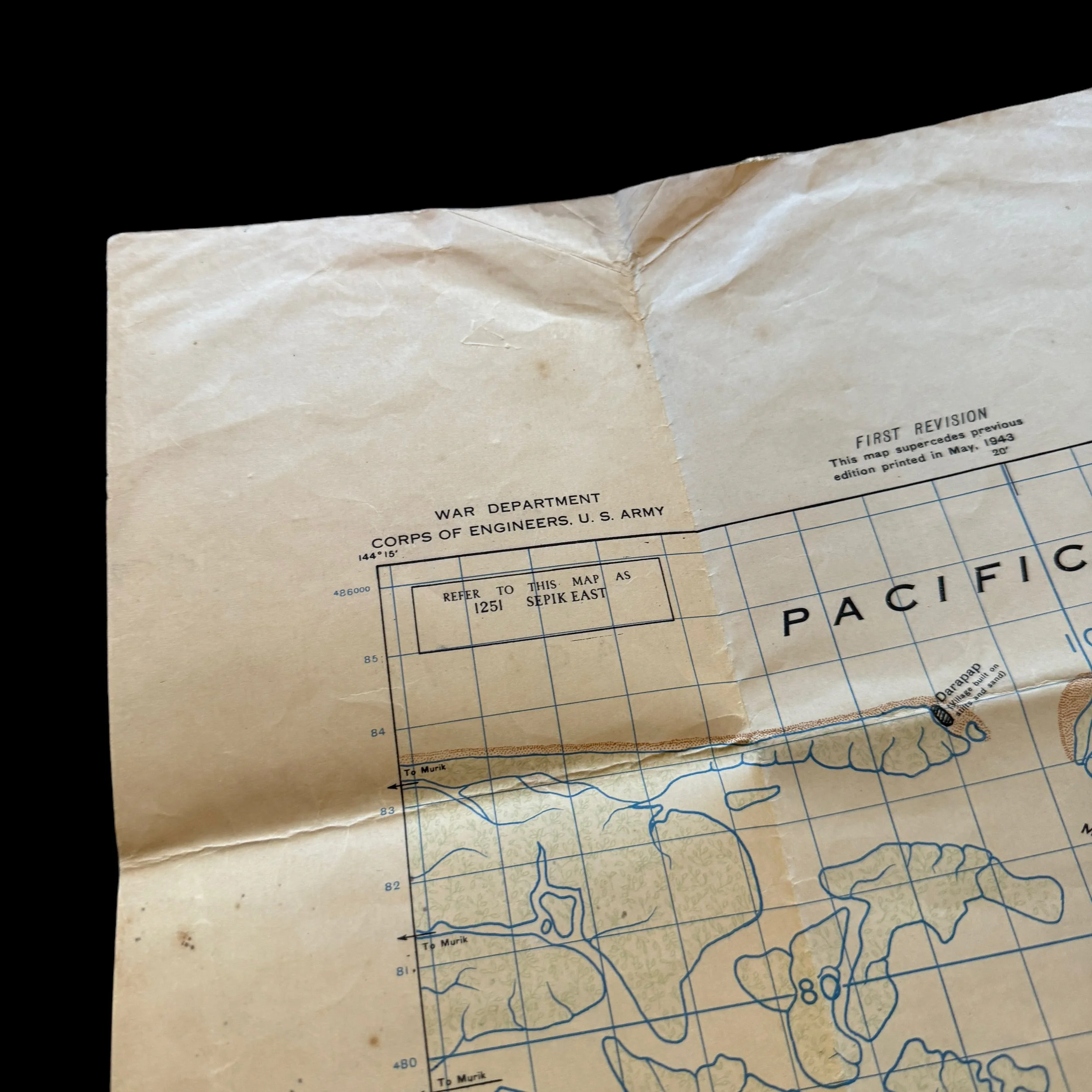
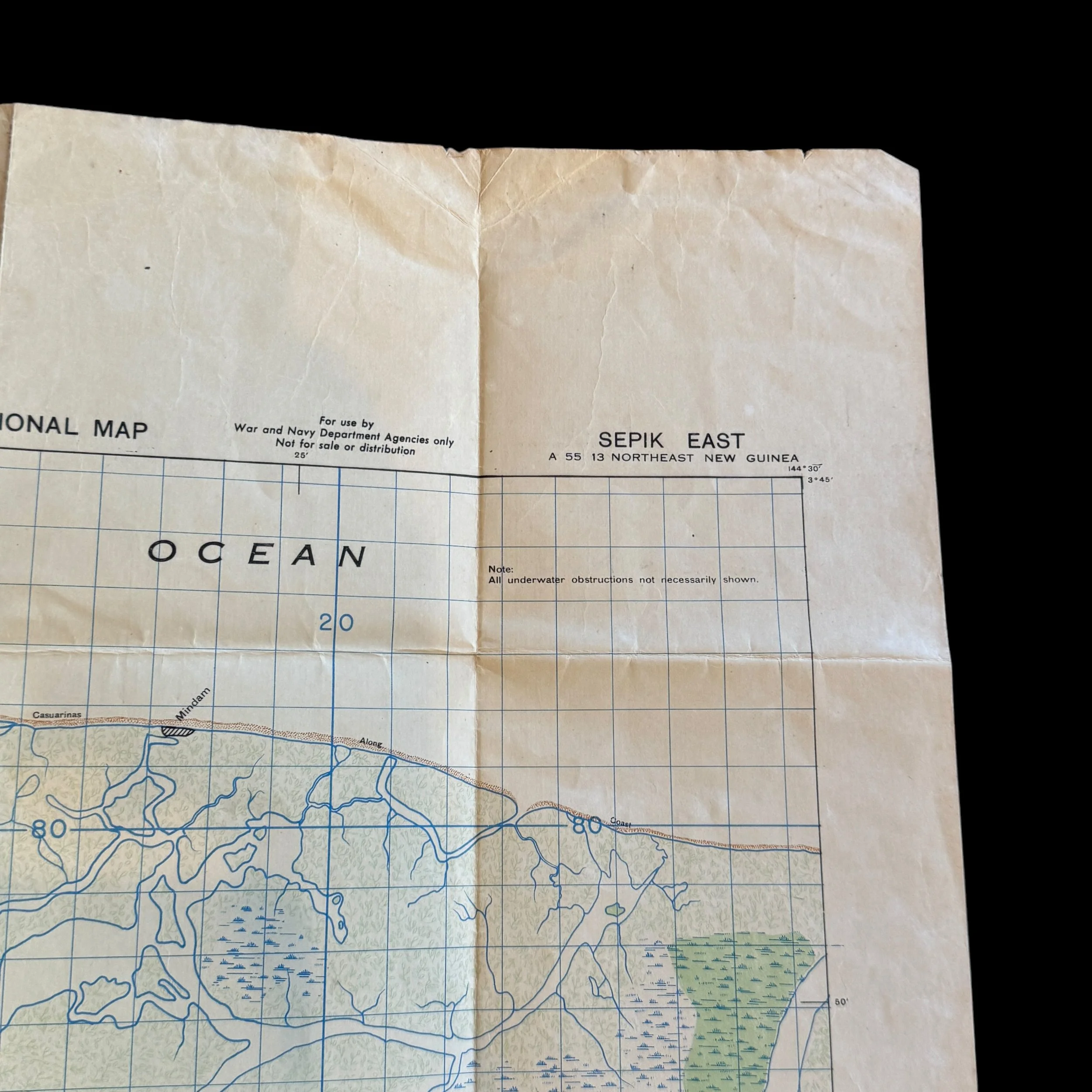
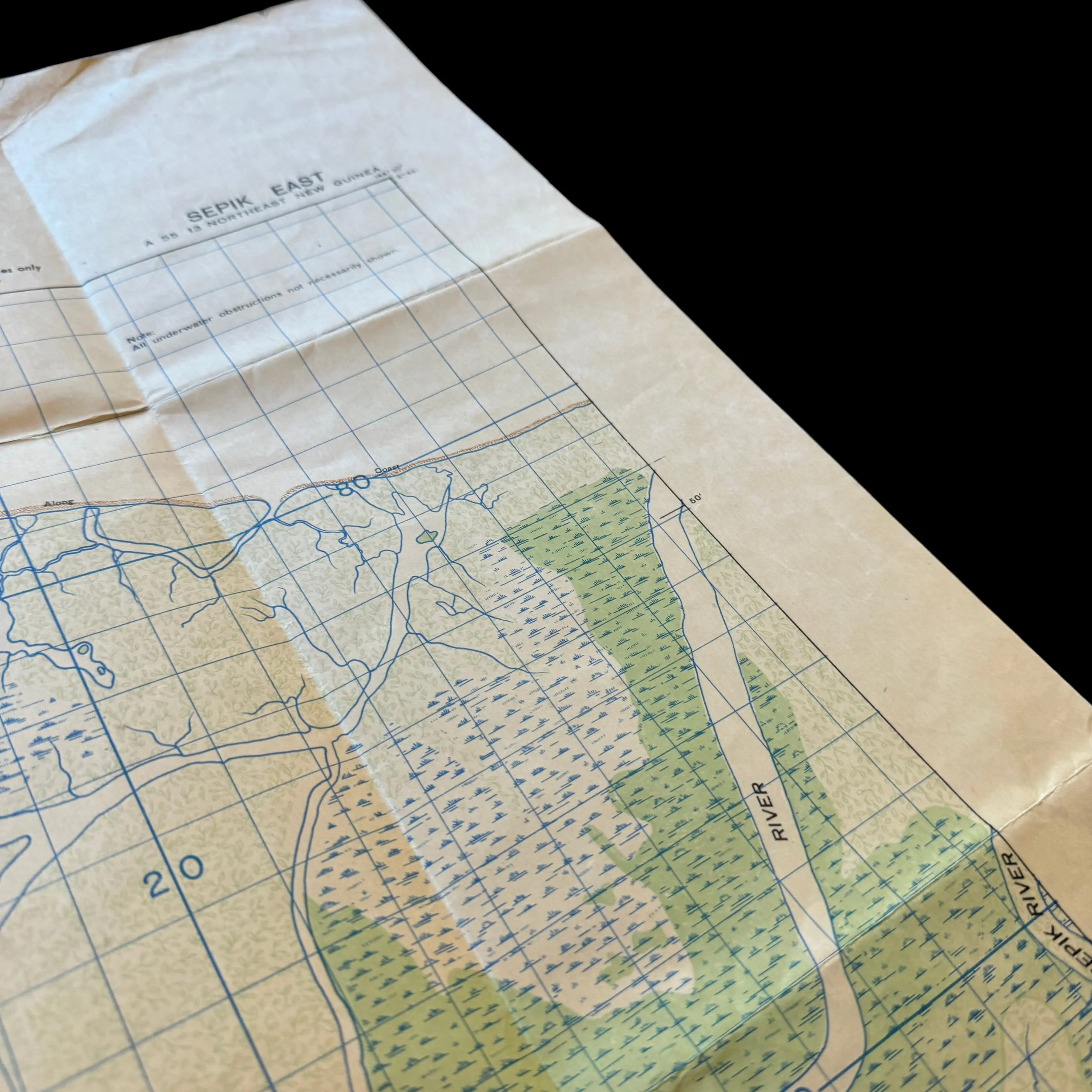
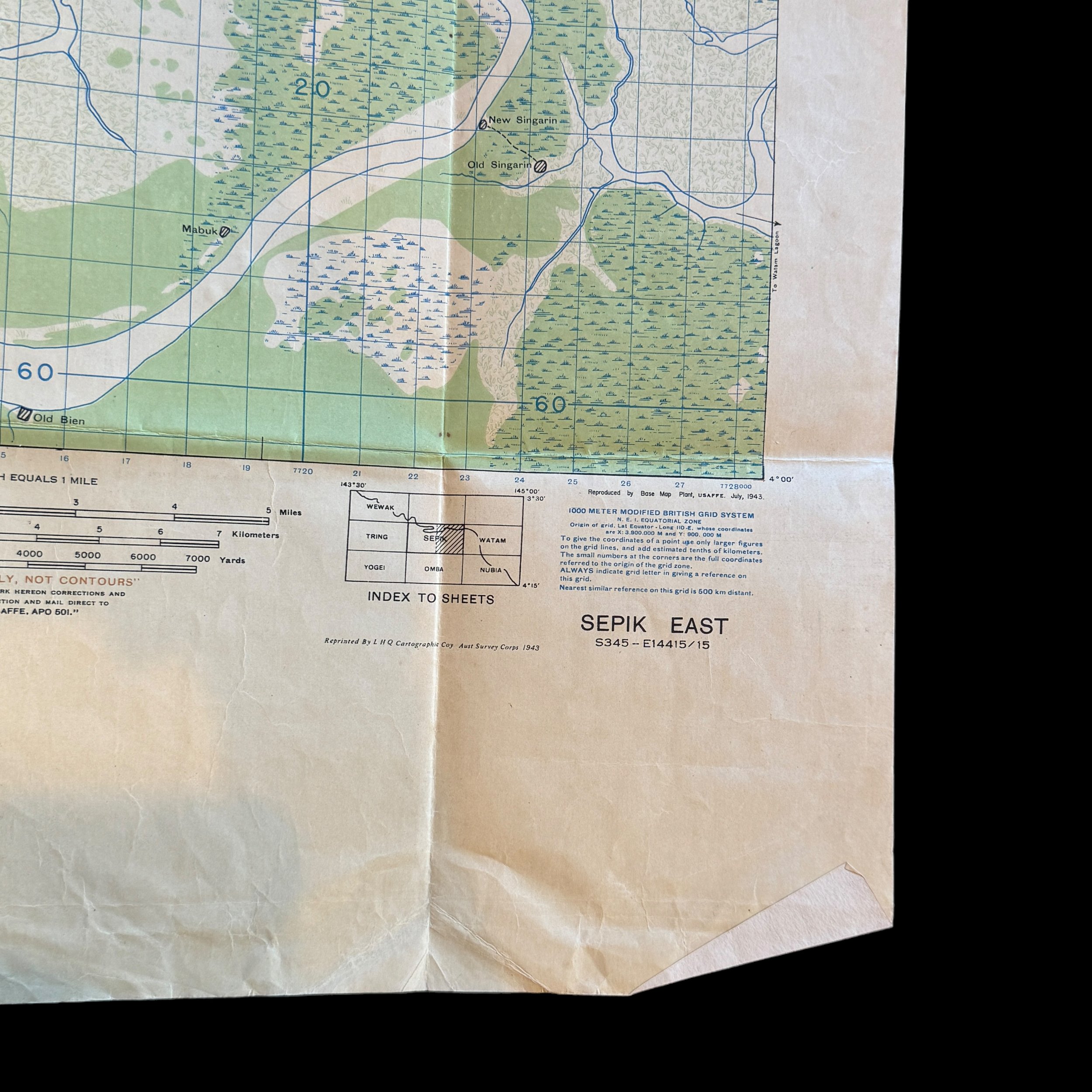
This incredibly rare original “Provisional” combat mission map shows the area of SEPIK EAST - NEW GUINEA. This map was created and used from the exact aerial photographs taken by the 8th PRS during aerial missions in New Guinea in 1942. This map was a part of a large 8th Photo Recon Squadron bring-back collection of TYPE-ONE mission photographs (the same used to make these combat maps) as well as original combat maps used by the pilots and other members of the 8th PRS during their operations in the Pacific Theater.
The 8th PRS and this map are documented in the book The Eightballers: Eyes of the Fifth Air Force - The 8th Photo Reconnaissance Squadron in WWII by John Stanaway and Bob Rocker…”Today we were nothing but "engine time boys." Kneeskem went all the way to the Sepik River, but could not photograph on account of weather. Photos nil. Time: four hours. Capt. Thomas and his crew with Bill Fairbank, Flying Engineer navigating, flew to Mt. Hagen and Wewak. In a desperate attempt to get pictures of the Yellow and Sepik rivers, Capt. Thomas put his wheels and flaps to slow "66" down to 120-130 MPH and shot his pictures from 1,600'. The photos were fine, except RAAF requested the wrong area. During the mission the tri-met cameras failed, and the crew operated the cameras by hand. Lt. Loos, acting Operations Officer, has had bad weather to date. Rabaul has come back without photos again. Rigsby and th two Murphys did a little photography to ease the situation.”