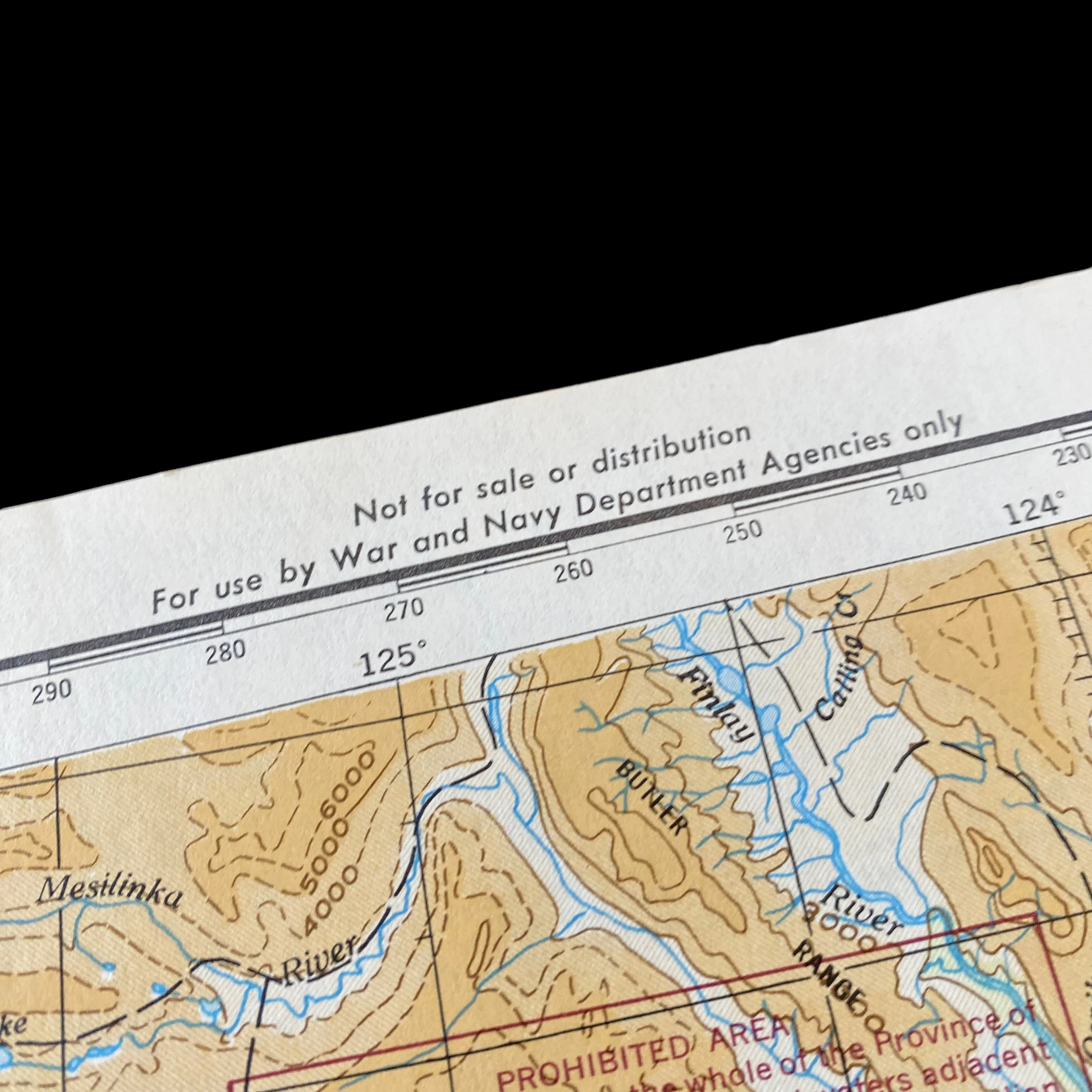
WWII 1943 RESTRICED U.S. Air Force Homefront “Grande Prairie Canada to Ketchikan Alaska” Navigation Map


WWII 1943 RESTRICED U.S. Air Force Homefront “Grande Prairie Canada to Ketchikan Alaska” Navigation Map
Comes with C.O.A.
This original and museum-grade WWII June 1943 U.S. Air Force “Homefront” navigation map is marked RESTRICTED and shows the “Grande Prairie Canada to Ketchikan Alaska”.
World War II, a conflict of unprecedented scale and global impact, saw the emergence of air power as a decisive factor in determining the outcome of battles. The United States Air Force (USAF), born out of the Army Air Corps, played a crucial role in shaping the course of the war. In 1943, the use of the homefront air map became a pivotal tool for the U.S. Air Force, aiding in strategic planning, intelligence gathering, and coordination of aerial operations.
The U.S. Air Force underwent a remarkable transformation during World War II. Prior to the war, the American military had recognized the potential of air power but lacked a fully independent and capable air force. The formation of the U.S. Army Air Forces (USAAF) in June 1941 marked a significant step toward the establishment of a dedicated air service. By 1943, the USAAF evolved into the U.S. Air Force, distinct from the Army, underscoring the growing importance of aerial warfare.
The year 1943 was a critical juncture in the war, with the Allies gaining momentum against the Axis powers. The U.S. Air Force played a pivotal role in achieving air superiority, a prerequisite for successful military campaigns. Strategic bombing, reconnaissance, and air support for ground operations were integral components of the air war, and the Homefront Air Map emerged as a vital tool to facilitate these endeavors.
The Homefront Air Map was a comprehensive visual representation of the airfields, enemy installations, and key strategic points on the homefront. It served as a detailed and dynamic tool for planning and executing air operations. The map encompassed a wide range of information, including topography, weather patterns, and enemy dispositions. The cartographic expertise employed in creating these maps allowed the U.S. Air Force to have a real-time, bird's-eye view of the battlefield.
One of the primary functions of the Homefront Air Map was to aid in strategic planning. The U.S. Air Force utilized these maps to identify and prioritize targets for strategic bombing campaigns. By analyzing the map data, military planners could determine the most efficient routes for bombers, identify enemy airfields and defensive positions, and plan operations that maximized the impact on the war effort.
The Homefront Air Map also played a crucial role in intelligence gathering. Aerial reconnaissance missions were conducted to gather information on enemy troop movements, supply lines, and infrastructure. Pilots used the maps to navigate and locate strategic targets, providing invaluable intelligence to commanders on the ground and enabling the U.S. Air Force to adapt its strategies based on real-time information.
Beyond its role in planning and intelligence, the Homefront Air Map contributed to logistical support and infrastructure development. The map aided in selecting suitable locations for new air bases, ensuring that they were strategically positioned for both offensive and defensive operations. Additionally, the maps assisted in planning supply routes and logistics, facilitating the efficient movement of personnel and equipment across the vast theater of operations.
The U.S. Air Force's use of the Homefront Air Map during 1943 in World War II marked a watershed moment in military aviation and strategic planning. The integration of sophisticated cartography with the evolving capabilities of air power allowed the U.S. Air Force to achieve a level of precision and effectiveness that was previously unimaginable. The Homefront Air Map became a symbol of the technological and strategic advancements that characterized the U.S. military's approach to warfare during this pivotal period in history.