WWII Era 1941 Sectional Aeronautic Chart “Homefront” Navigation Air Map (Jacksonville Region)*


WWII Era 1941 Sectional Aeronautic Chart “Homefront” Navigation Air Map (Jacksonville Region)*
Comes with C.O.A.
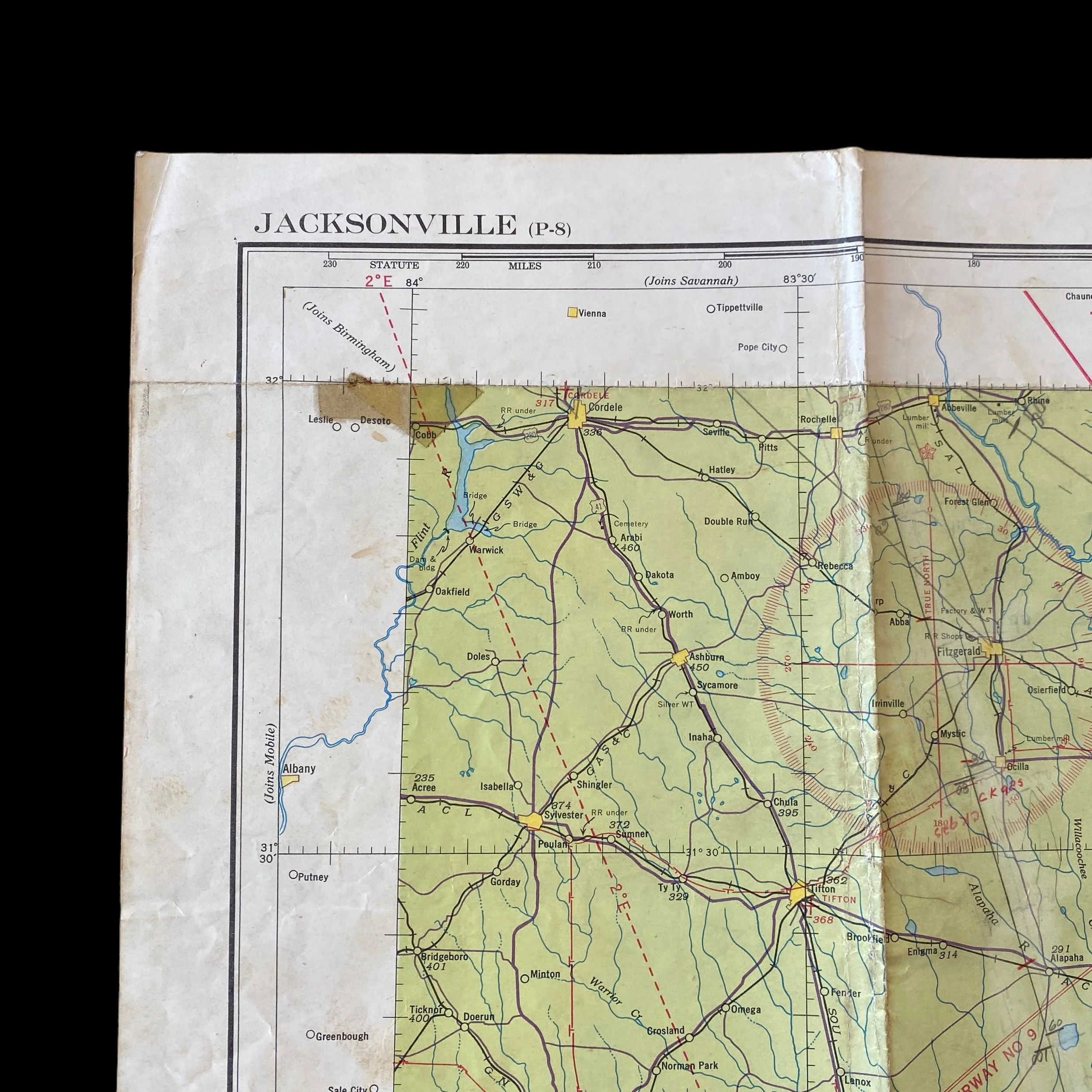
This original and museum-grade WWII era “Sectional Aeronautic Chart” was used by the U.S. Department of Commerce during during the early stages of WWII. The Aeronautical Chart Service (ACS), was a specialized unit within the U.S. Army Air Forces. Dated January 1941, this “Homefront” navigation map was used for aircraft operating around the “Jacksonville” region.
The ACS was established in 1941 and played a crucial role in providing essential navigational and operational information to military aviators. The charts produced by the ACS were designed to support both strategic and tactical air operations across various theaters of war. Sectional Aeronautical Charts were an integral part of the ACS's efforts. These charts were large-scale maps that provided detailed information about specific geographic regions. They included crucial details for aviators, such as topography, terrain features, navigational aids, airfields, and other pertinent information for safe and effective flight. The ACS utilized the latest technology available at the time to create accurate and up-to-date charts. Aerial photography, surveys, and intelligence reports were all incorporated into the chart-making process. The charts were continuously updated to reflect changes in the dynamic wartime environment, ensuring that pilots had the most current information available. One of the critical aspects of Sectional Aeronautical Charts during World War II was their role in supporting navigation. Accurate navigation was essential for successful air operations, especially in an era when advanced navigation tools were not as prevalent as they are today. Pilots relied on these charts to navigate through complex airspace, identify landmarks, and locate targets or destinations. The theater of war greatly influenced the content and design of Sectional Aeronautical Charts. Different theaters, such as the European Theater of Operations (ETO) and the Pacific Theater, presented unique challenges that required specialized charting. The ACS tailored charts to the specific needs of each theater, taking into account factors like climate, enemy positions, and the availability of ground-based navigational aids. In addition to supporting military operations, Sectional Aeronautical Charts played a role in training new pilots. Flight schools and training centers used these charts to familiarize aviators with the intricacies of navigating different types of terrain and airspace. After World War II, the responsibility for aeronautical charts transitioned to the newly formed U.S. Air Force when it became a separate branch of the military in 1947. The experience gained during the war greatly influenced the development of aeronautical charting and navigation in the post-war period. In conclusion, the Sectional Aeronautical Charts used by the U.S. Army Air Forces during World War II were indispensable tools for military aviators. These charts provided crucial information for navigation, mission planning, and training, contributing significantly to the success of air operations during the conflict. The wartime experience also had a lasting impact on the evolution of aeronautical charting and navigation practices in the post-war period.