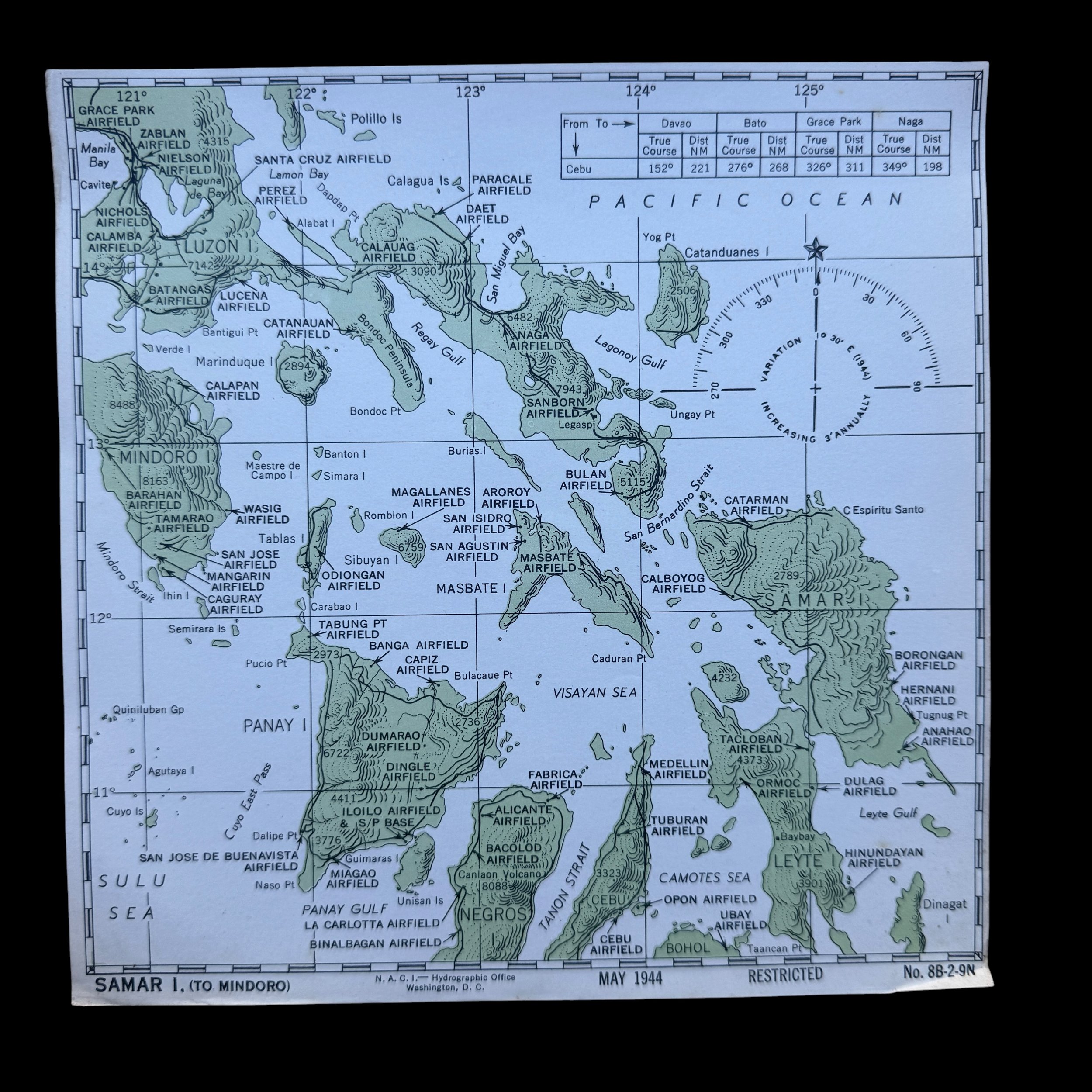
RARE! WWII 1944 USS Lexington (CV-16) Curtiss SB2C Helldiver "Carrier Air Group 19" USN Pilot's Cockpit Combat Target Map - SAMAR TO MINDORO
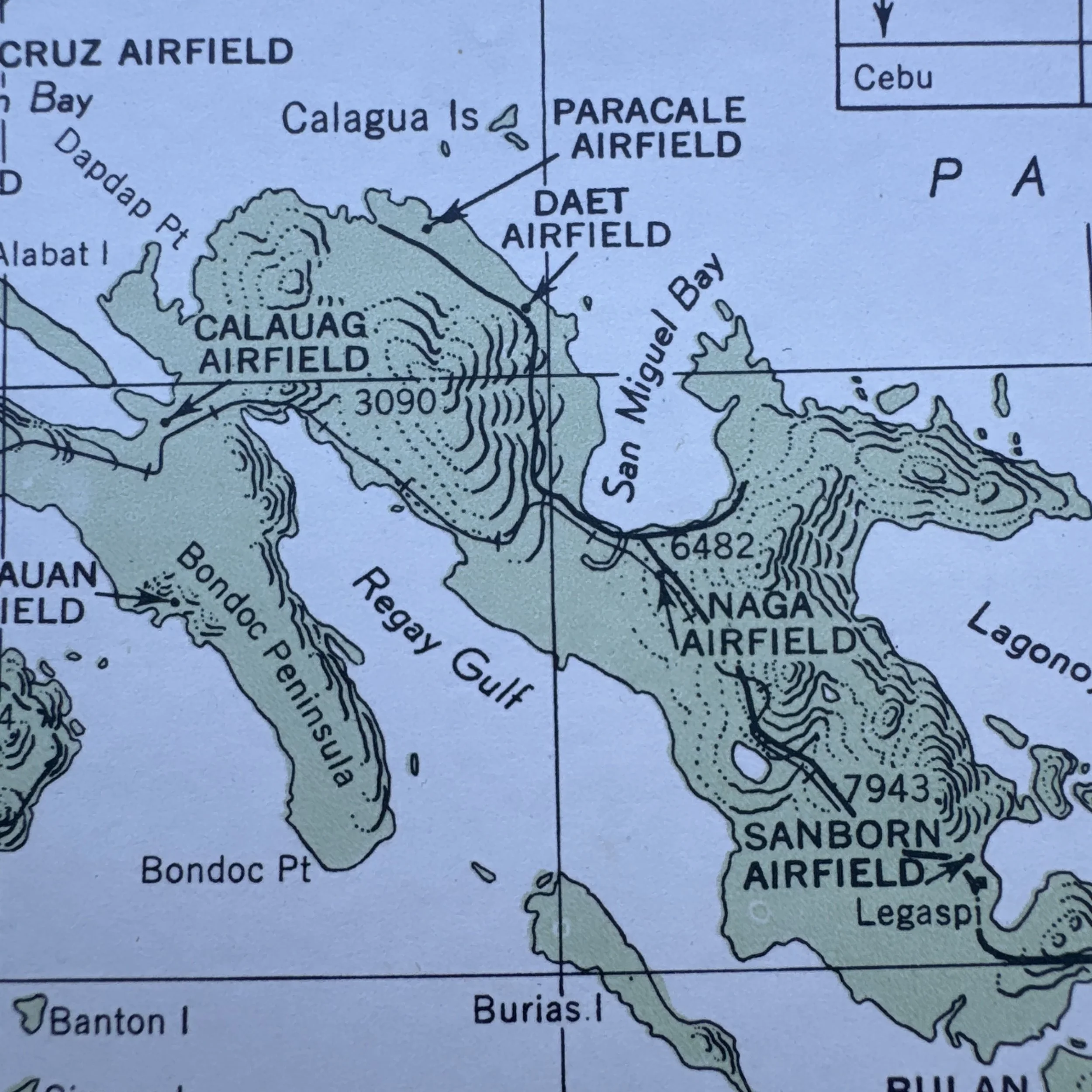
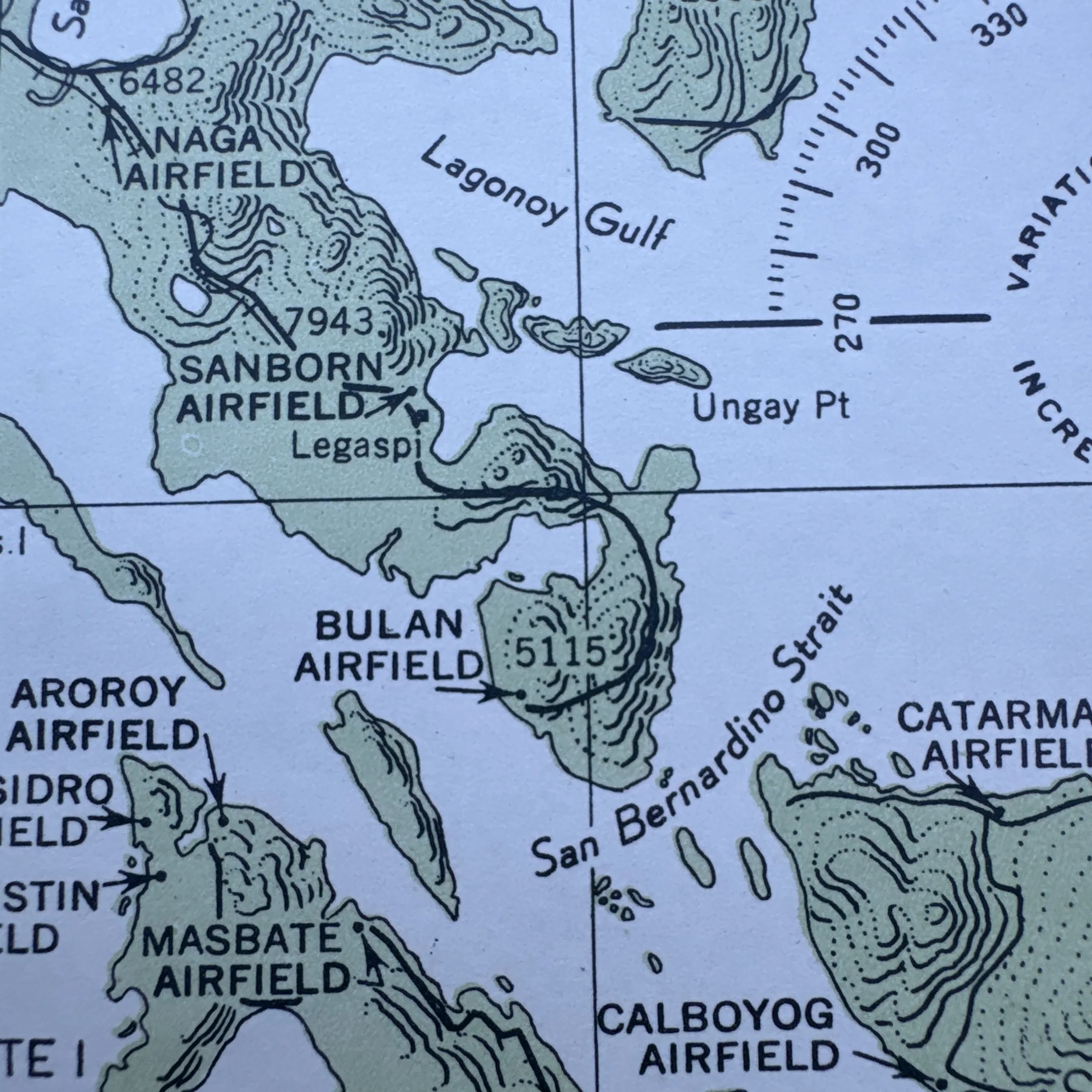
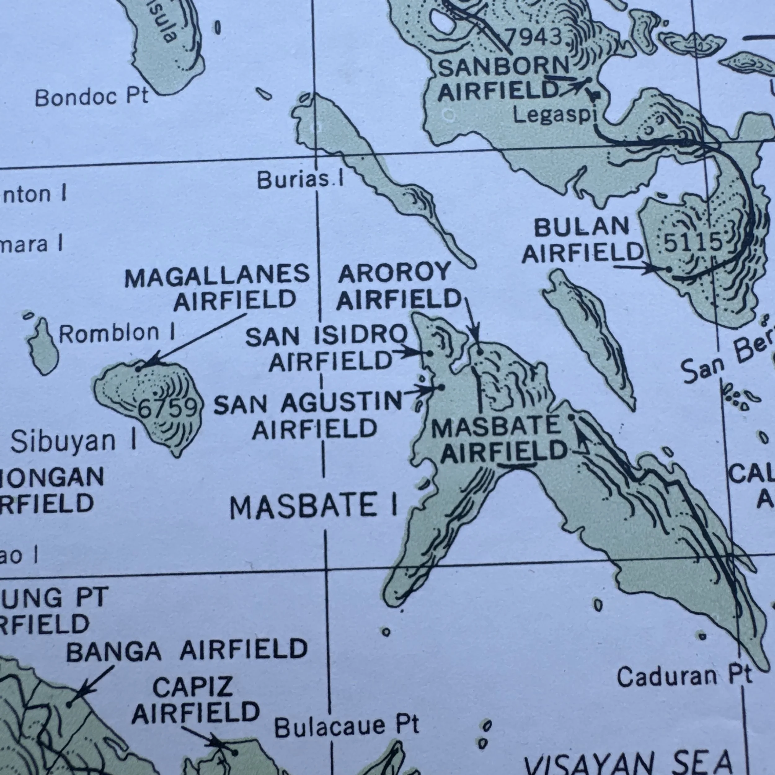
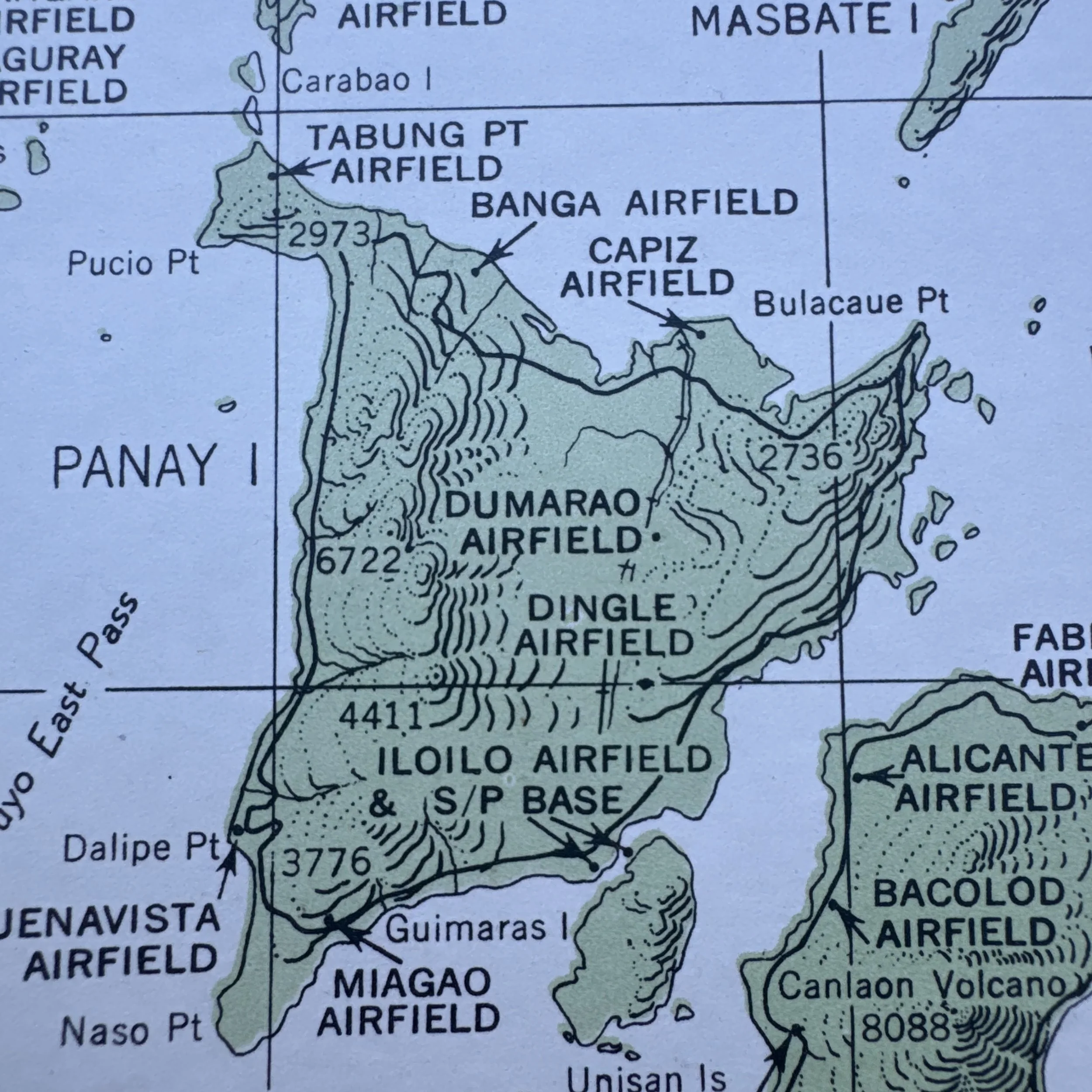
RARE! WWII 1944 USS Lexington (CV-16) Curtiss SB2C Helldiver "Carrier Air Group 19" USN Pilot's Cockpit Combat Target Map - SAMAR TO MINDORO
Comes with a hand-signed C.O.A.
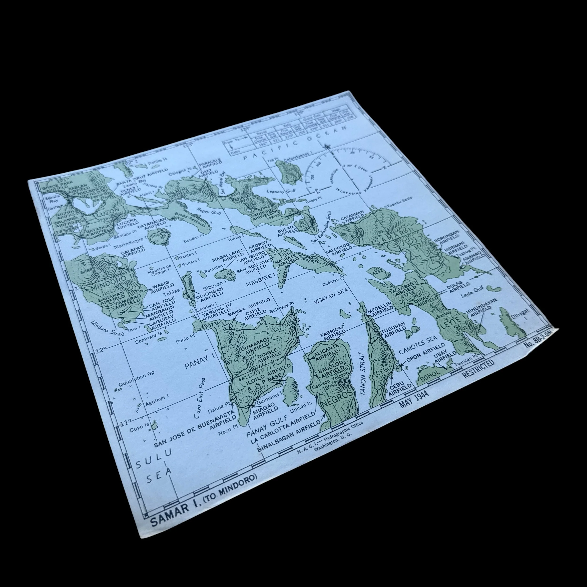
*This combat map was used by Victor Stankevich a WWII pilot in Bombing Squadron 19 (VB-19). Victor Stankevich utilized this exact chart while flying a Curtiss SB2C Helldiver, which served as the US Navy's primary carrier-based dive bomber during the latter half of the war. During the fall of 1944, VB-19 was attached to Carrier Air Group 19 aboard the USS Lexington (CV-16), operating as part of Admiral William Halsey's Third Fleet, also known as Task Force 38. Crew members like Stankevich used these cockpit charts for dead reckoning, identifying targets, and safely plotting return headings to their carrier fleet operating offshore in the Philippine Sea.
Size: 8 × 8 inches
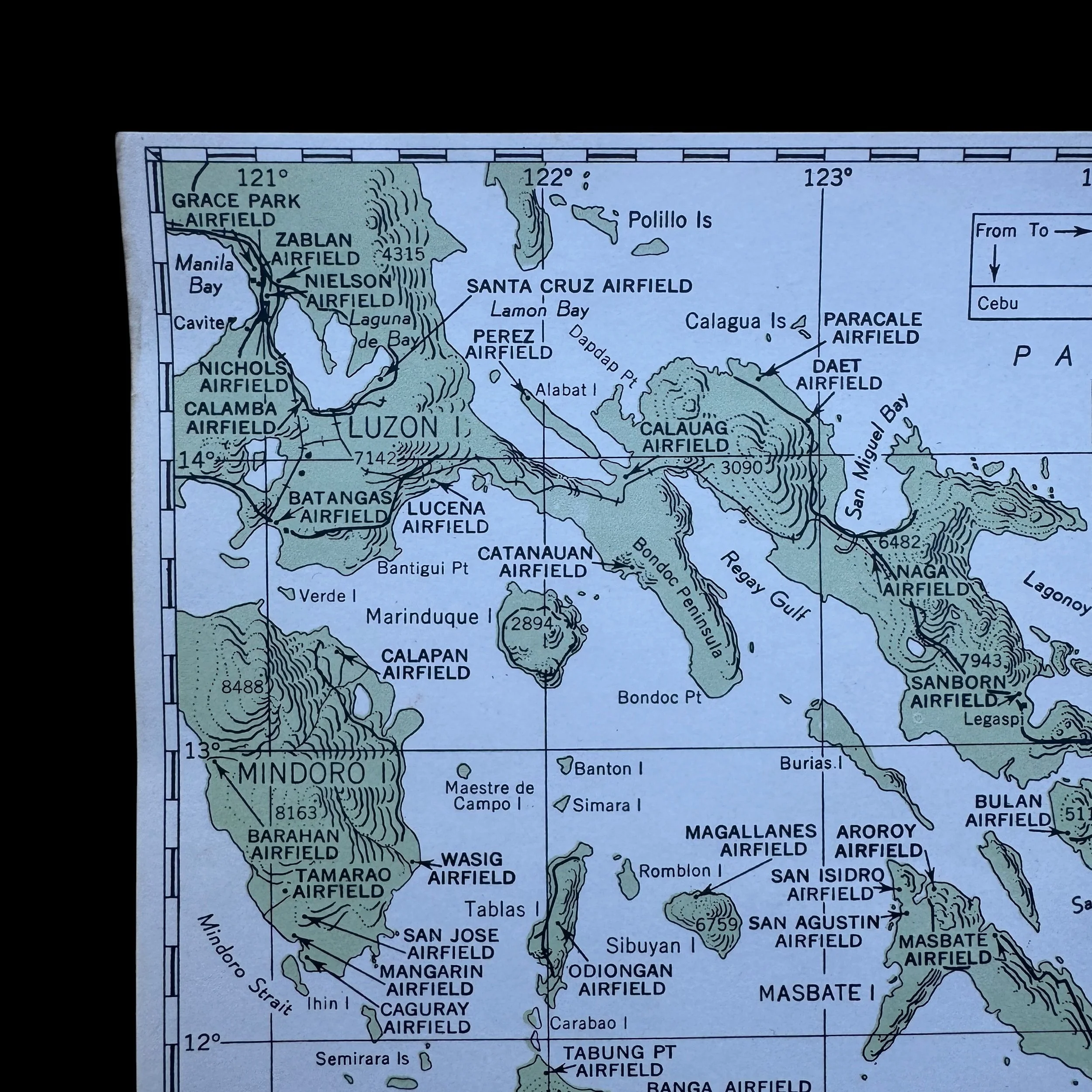
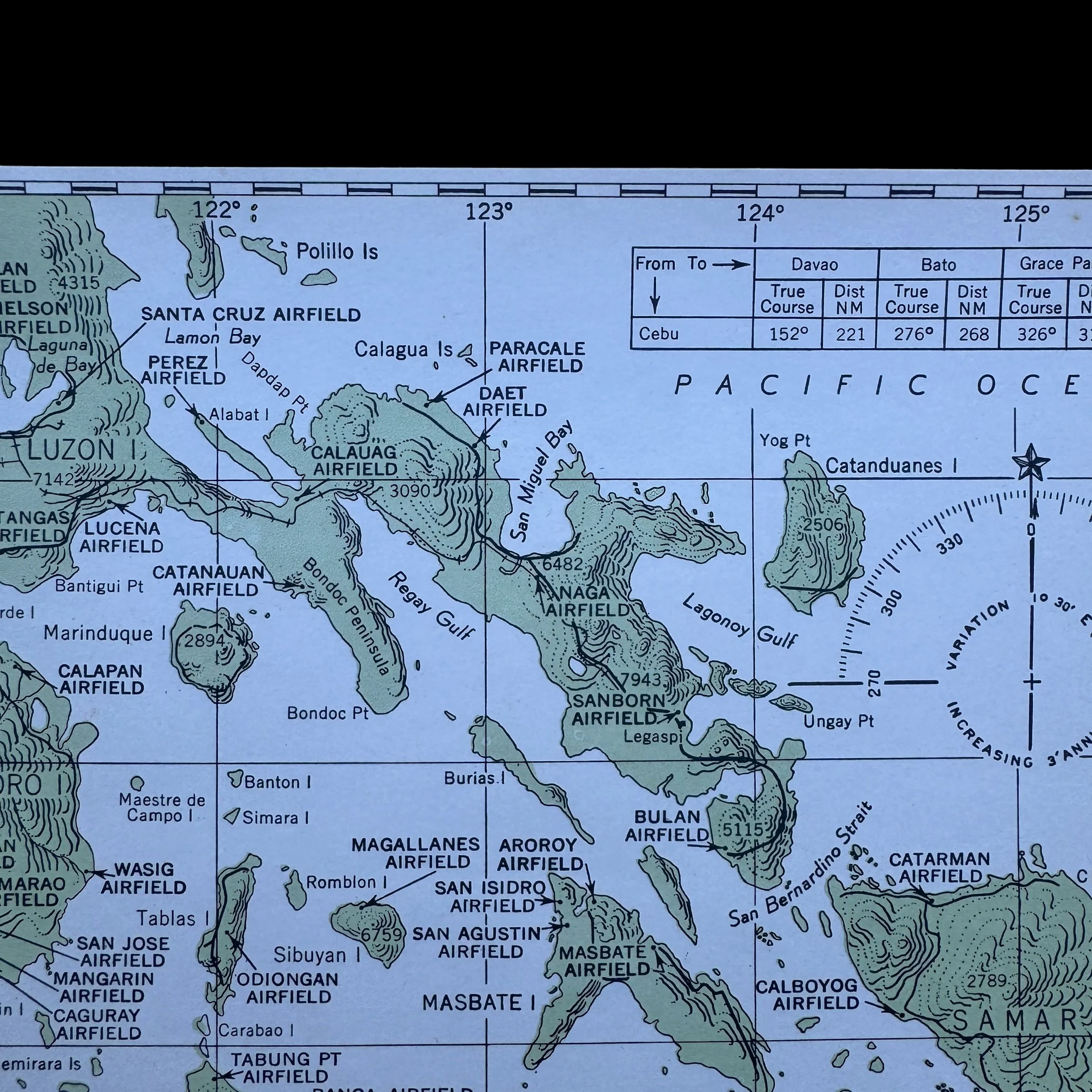
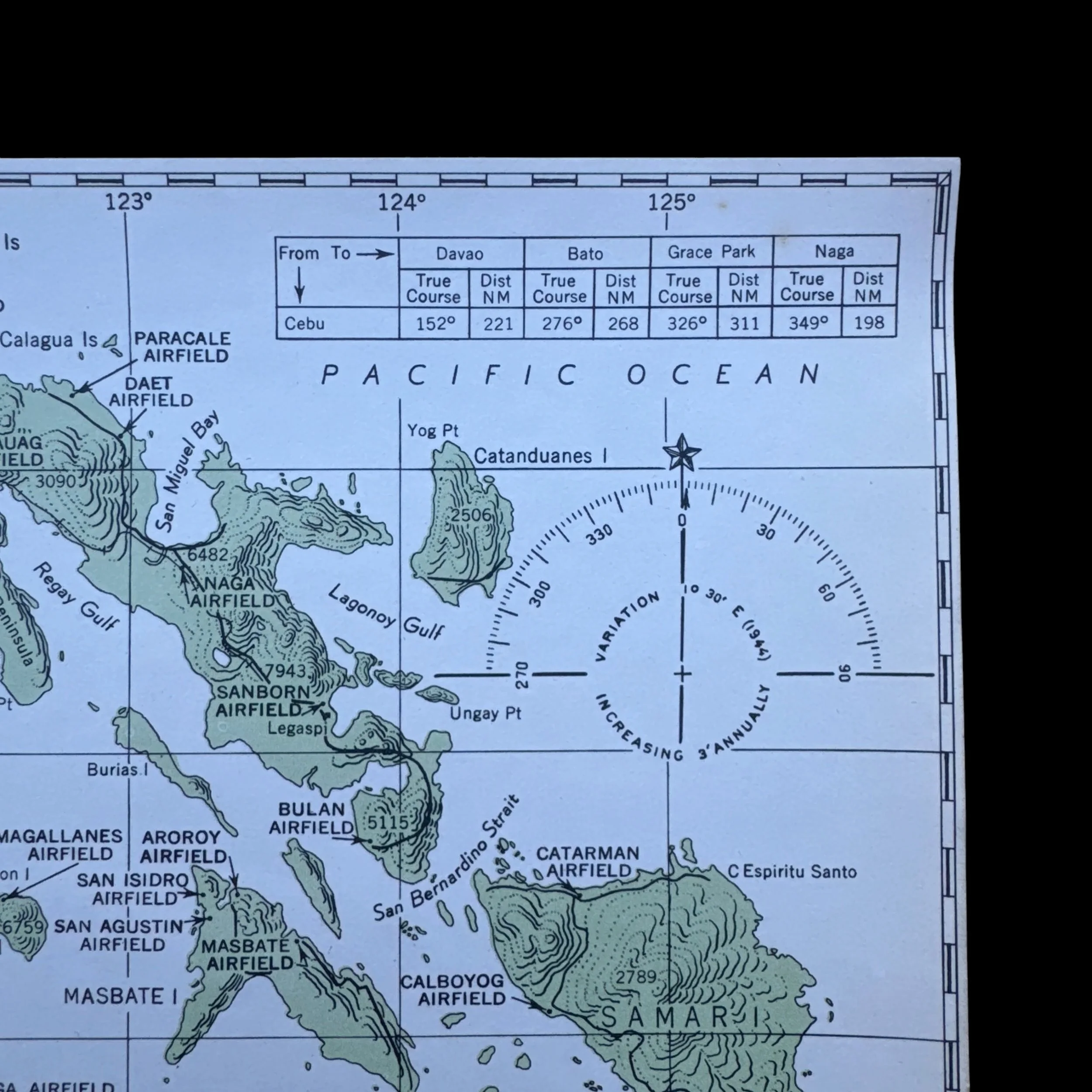
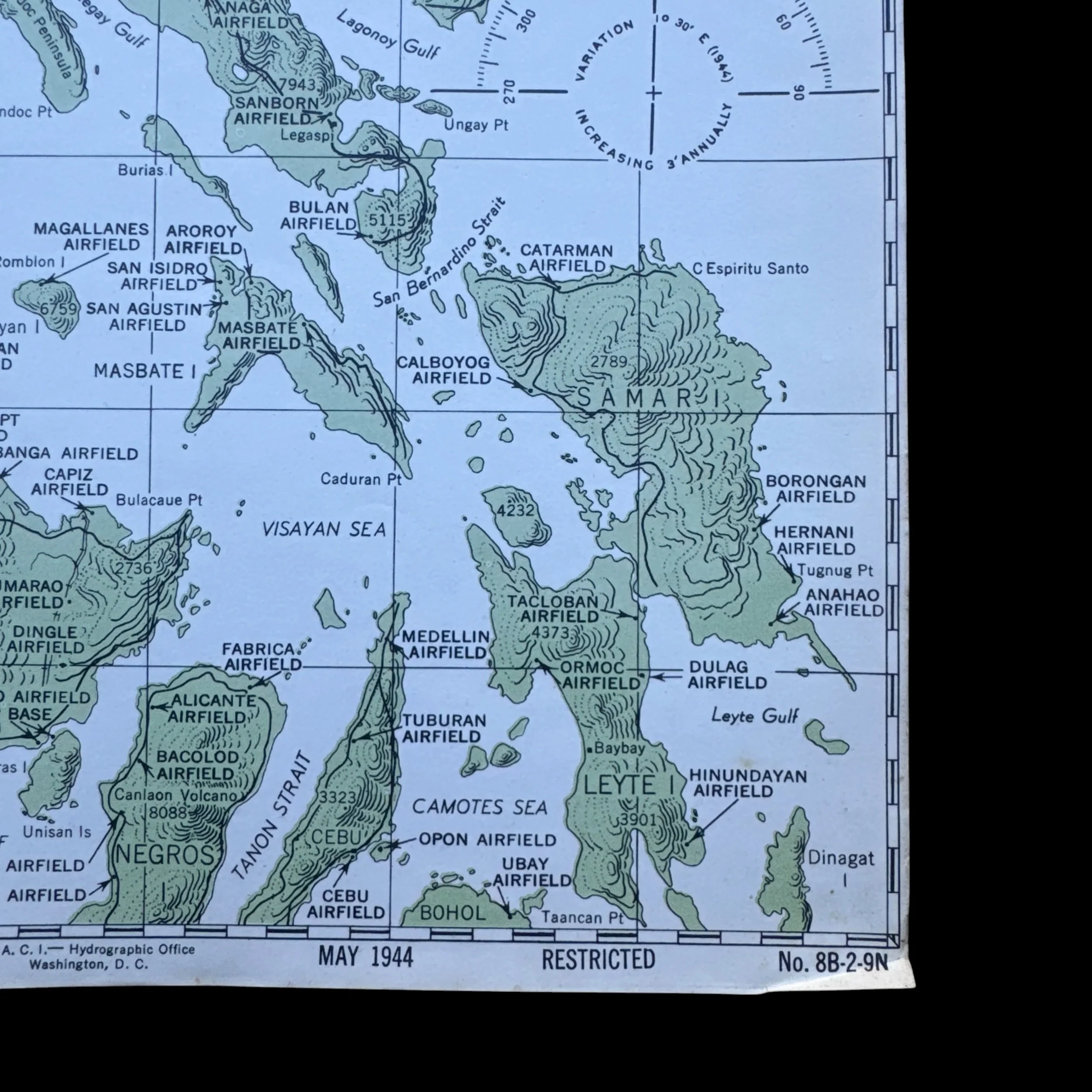
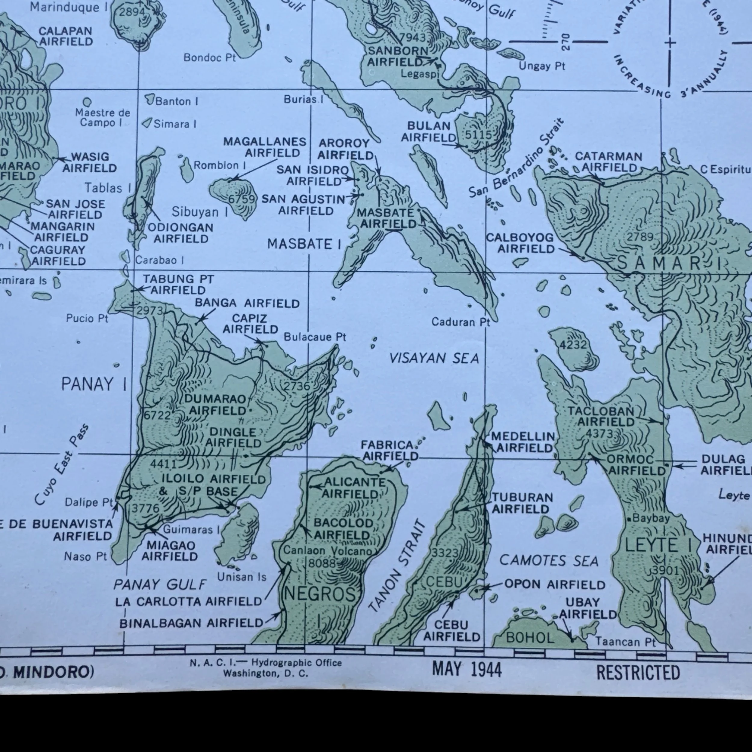
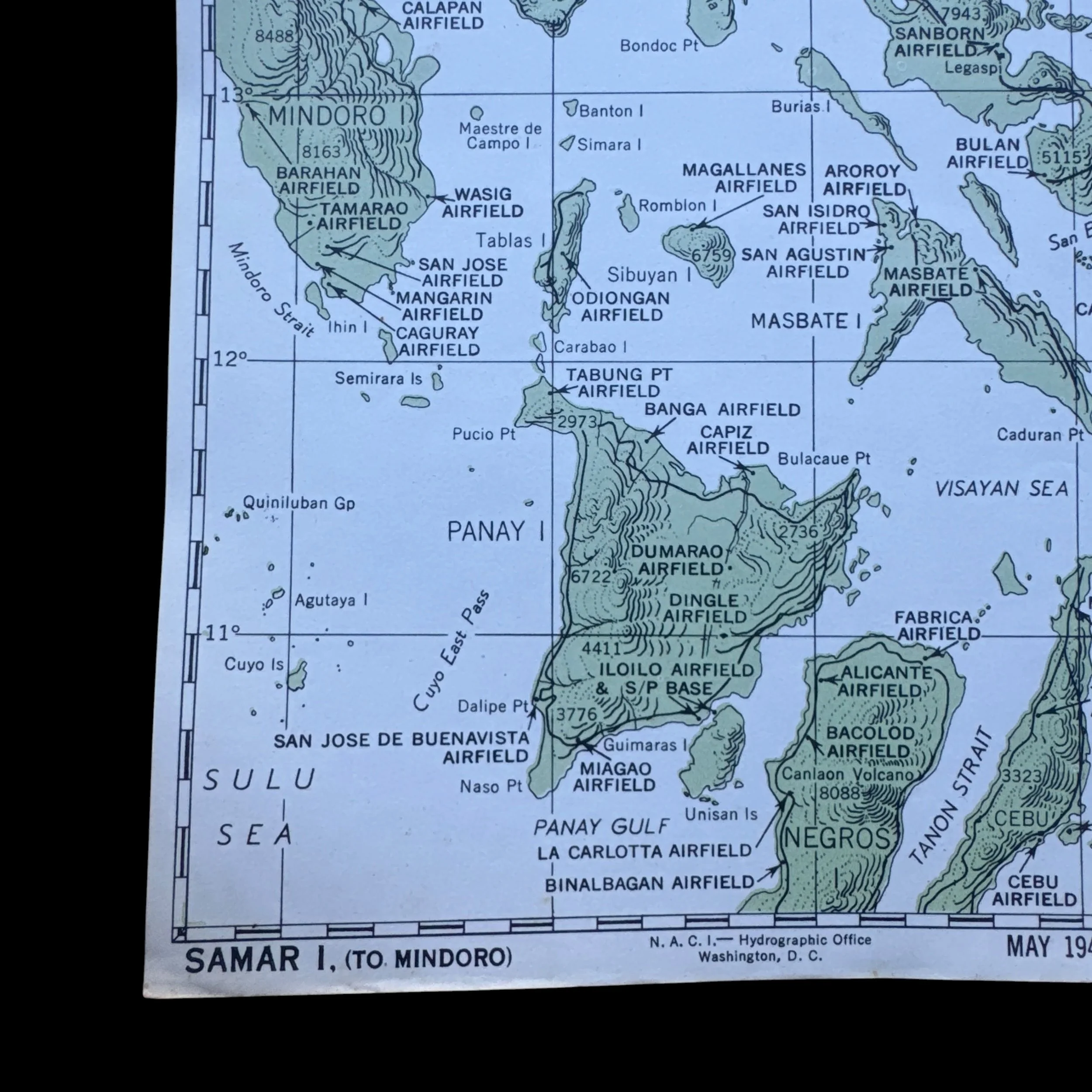
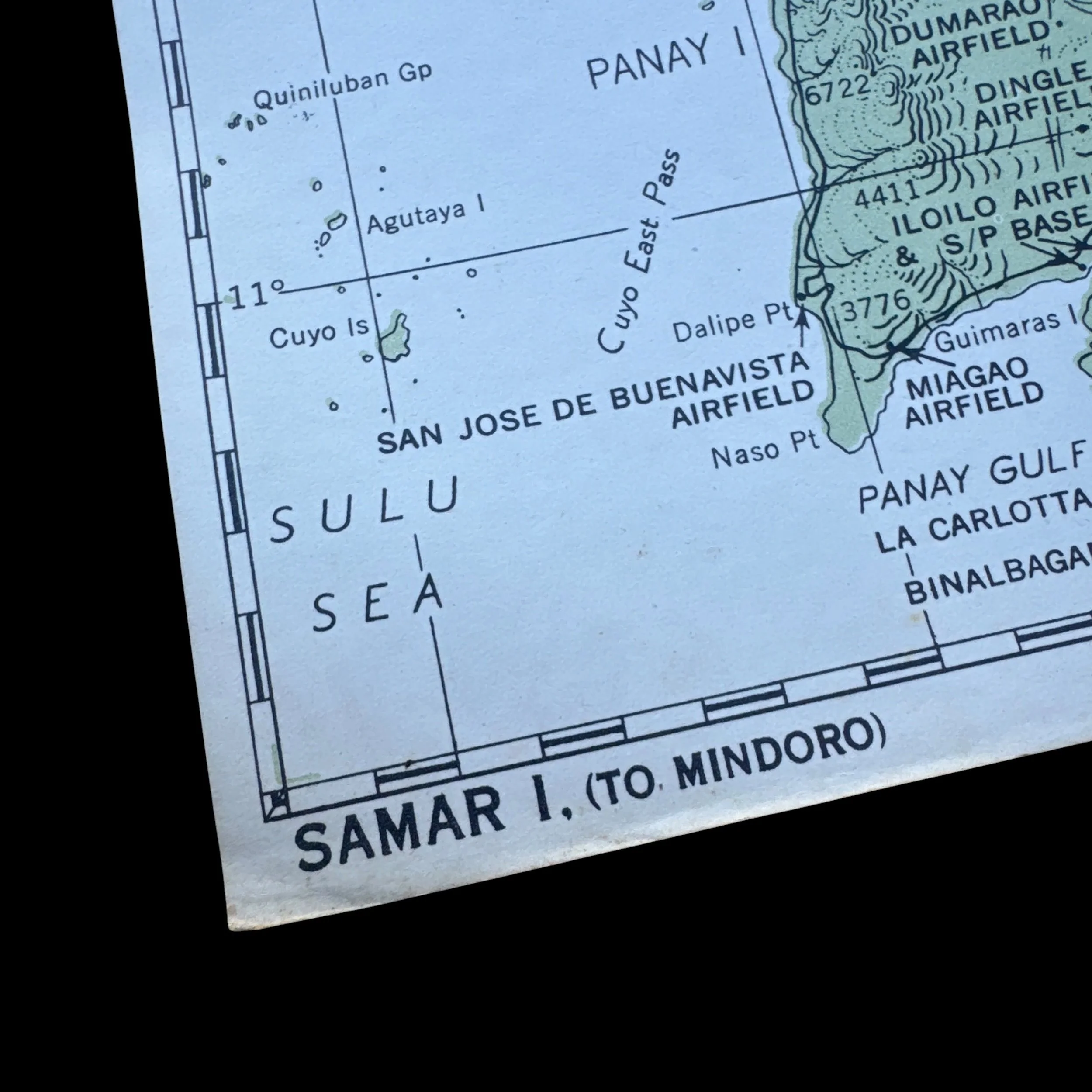
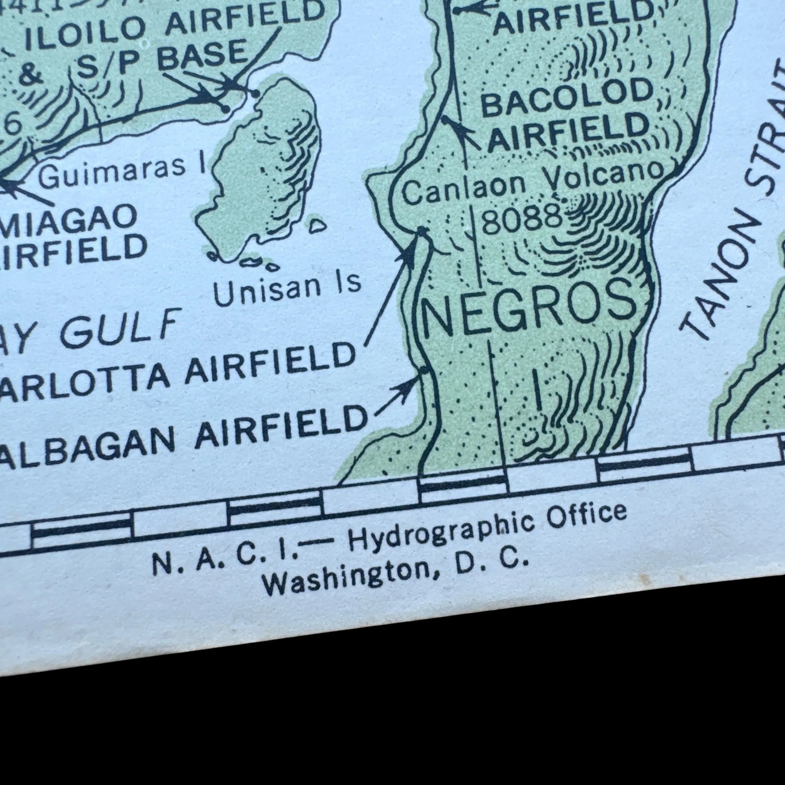
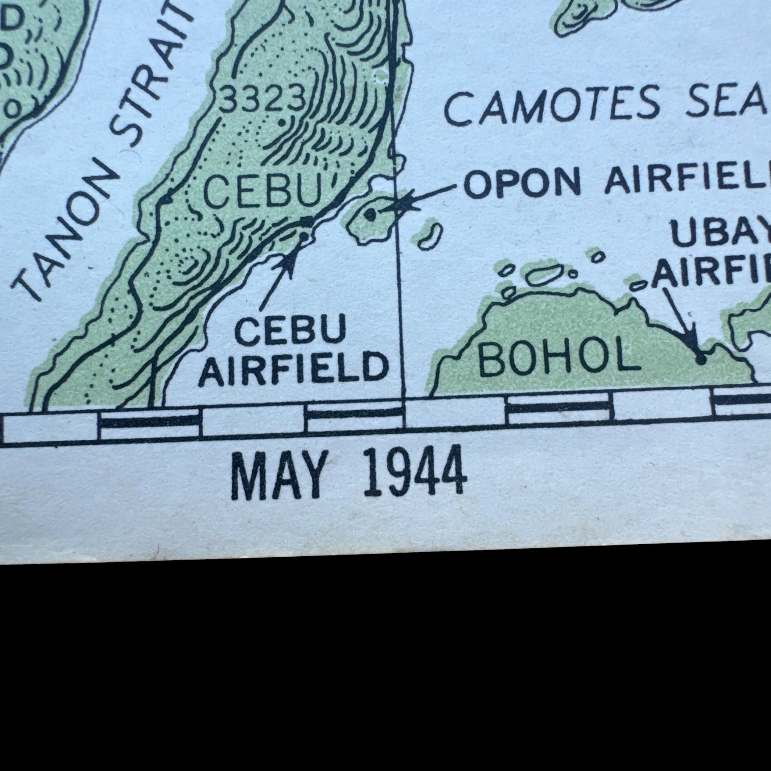
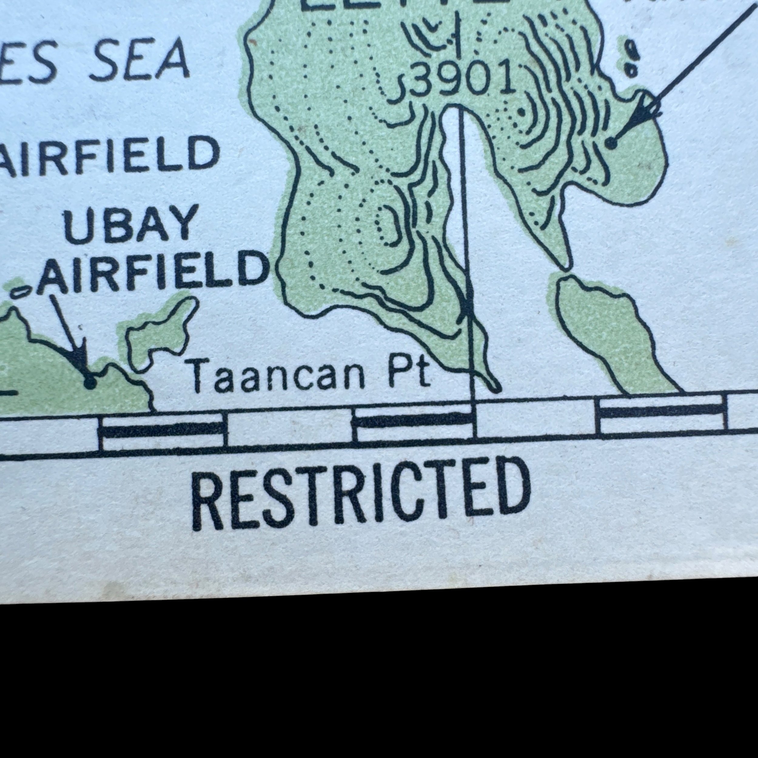
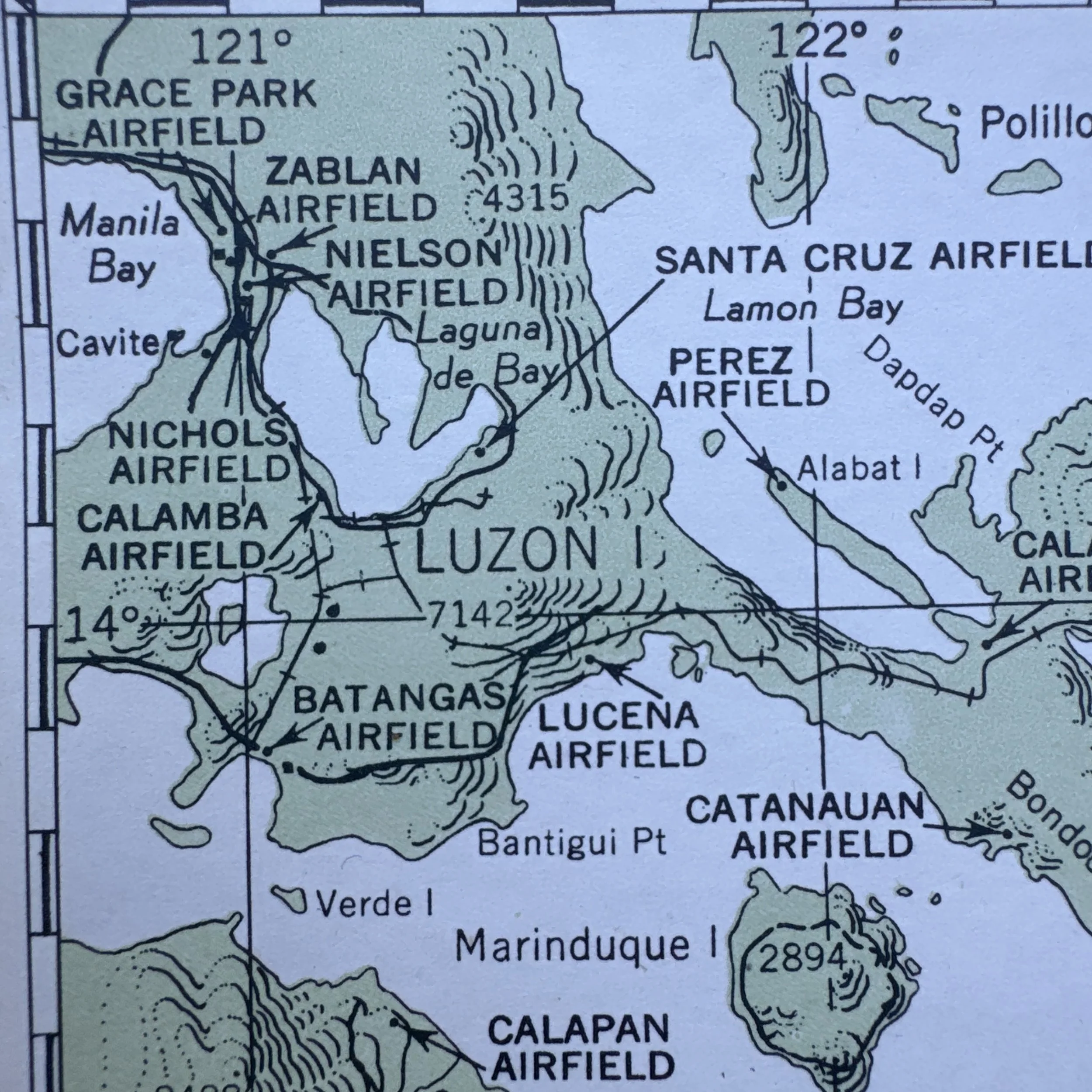
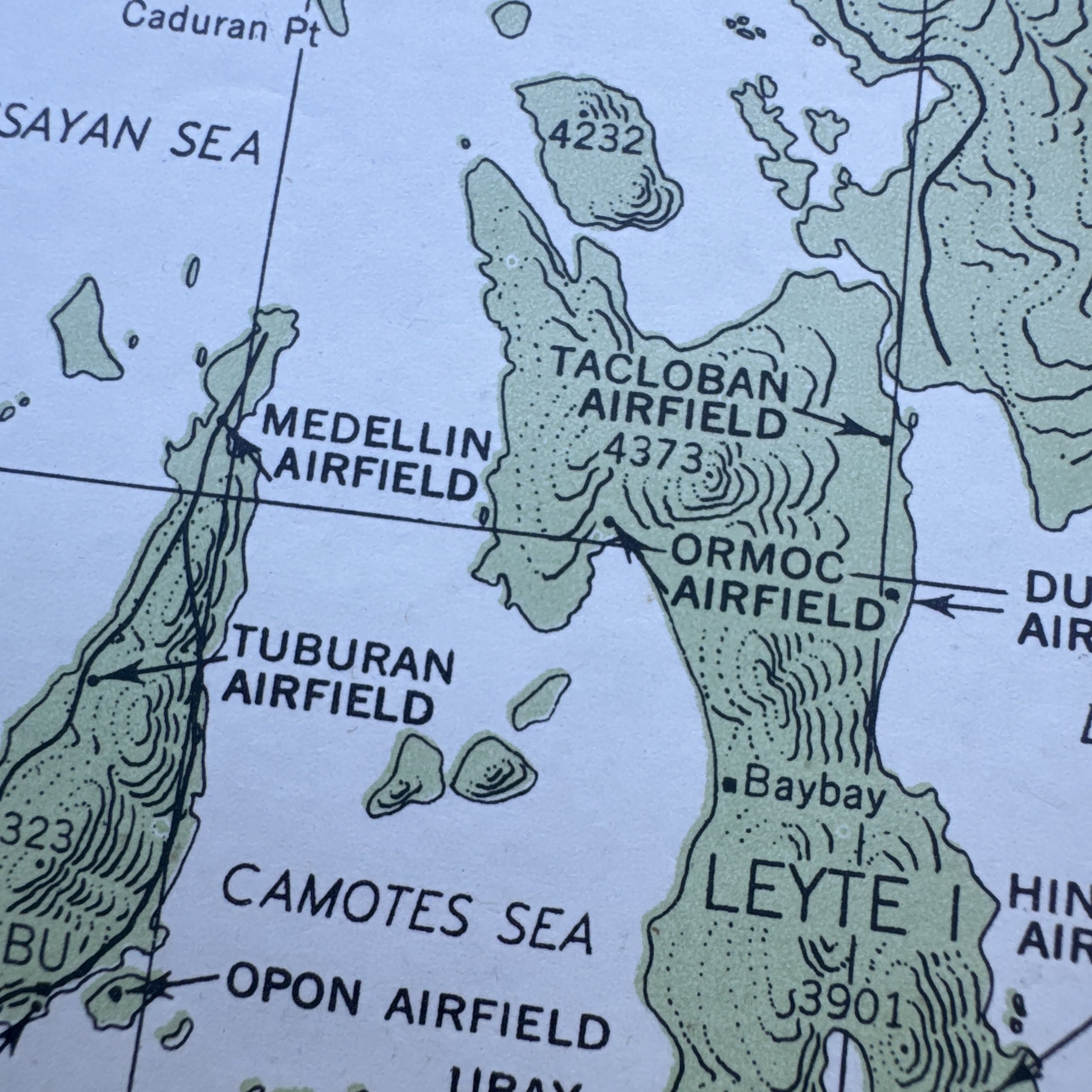
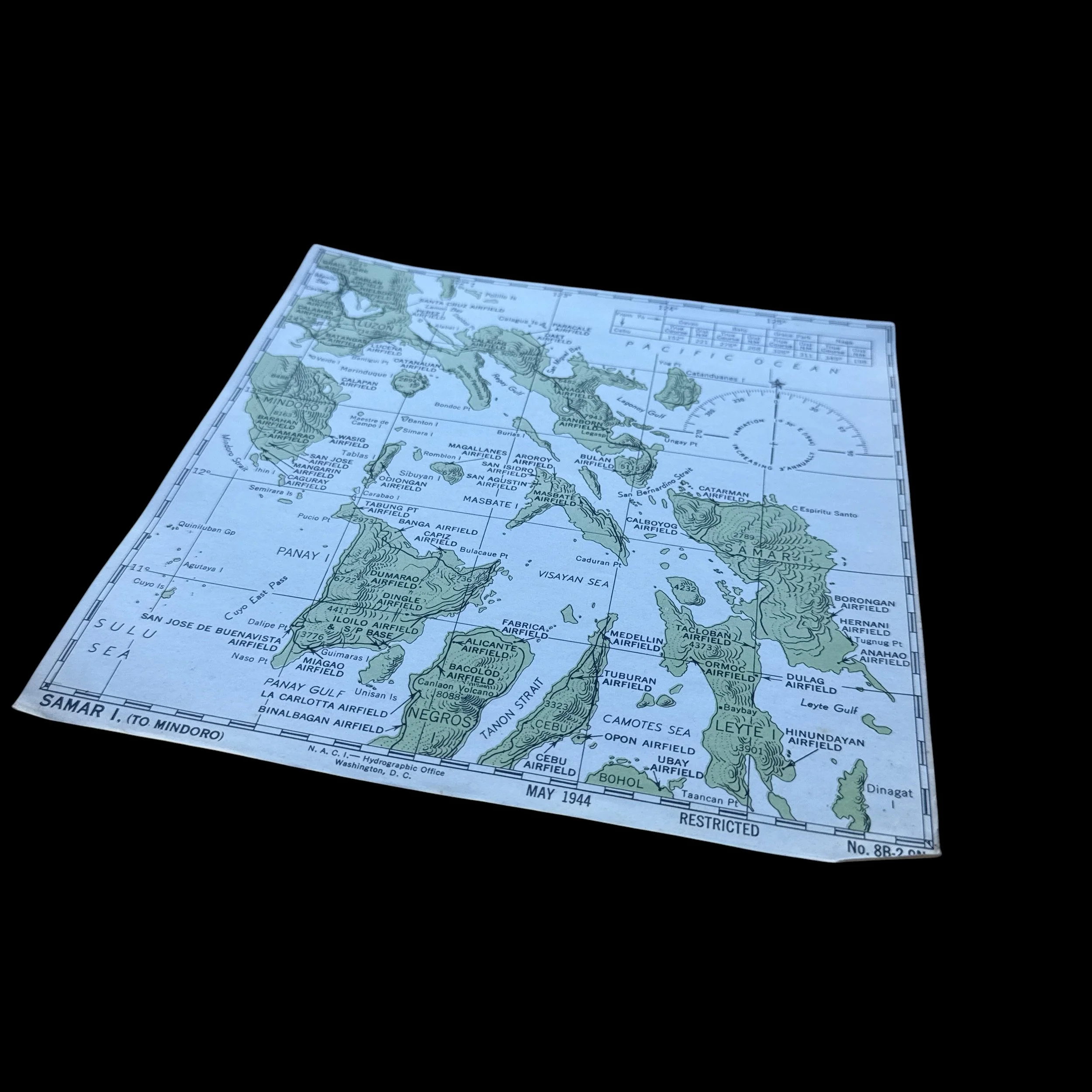
This rare museum-grade WWII artifact is a United States Navy aeronautical chart covering the central Philippines. As printed on the document, it was produced by the N. A. C. I. and the Hydrographic Office in Washington, D.C., is dated May 1944, and bears the title "SAMAR I. (TO MINDORO)" along with the designation No. 8B-2-9N. The map's geographic scope covers the Visayas region—including Samar, Leyte, Cebu, Negros, Panay, and Bohol—and extends northwest to Manila Bay and southern Luzon. It is heavily detailed with tactical data, outlining topographical elevation lines and crucial Japanese-held aviation infrastructure such as the Tacloban, Ormoc, Bacolod, and Nielson airfields. For navigation, the chart features a compass rose noting magnetic variation on the right side, accompanied by a quick-reference distance table in the top right corner that calculates true course and nautical miles between key points, such as the 326-nautical-mile distance from Cebu to Grace Park. The prominent "RESTRICTED" stamp at the bottom indicates it contained sensitive, up-to-date intelligence regarding enemy troop strongholds and infrastructure.
As a pilot in Bombing Squadron 19 (VB-19), Victor Stankevich would have utilized this exact chart while flying a Curtiss SB2C Helldiver, which served as the US Navy's primary carrier-based dive bomber during the latter half of the war. During the fall of 1944, VB-19 was attached to Carrier Air Group 19 aboard the USS Lexington (CV-16), operating as part of Admiral William Halsey's Third Fleet, also known as Task Force 38. Crew members like Stankevich used these cockpit charts for dead reckoning, identifying targets, and safely plotting return headings to their carrier fleet operating offshore in the Philippine Sea.
Because this map was printed just months prior to the Allied invasion of the Philippines, it was a critical tool for preparing the battlespace. Stankevich and VB-19 would have used this chart during the pre-invasion strikes of September and October 1944. During these missions, the heavily marked airfields on Leyte, Cebu, and Negros were primary targets for VB-19 dive bombers tasked with destroying Japanese airpower and ground installations ahead of General Douglas MacArthur's amphibious landing on Leyte on October 20, 1944. Furthermore, during the Battle of Leyte Gulf from October 23 to 26, 1944—the largest naval battle in history—Task Force 38 engaged the Imperial Japanese Navy across the very waters depicted on this chart, including the Sibuyan Sea and the coast of Samar. Helldiver pilots heavily relied on these regional references to locate, dive upon, and sink Japanese carriers and battleships.