1918 The Literary Digest Liberty Map of the Western Front of the Great World War


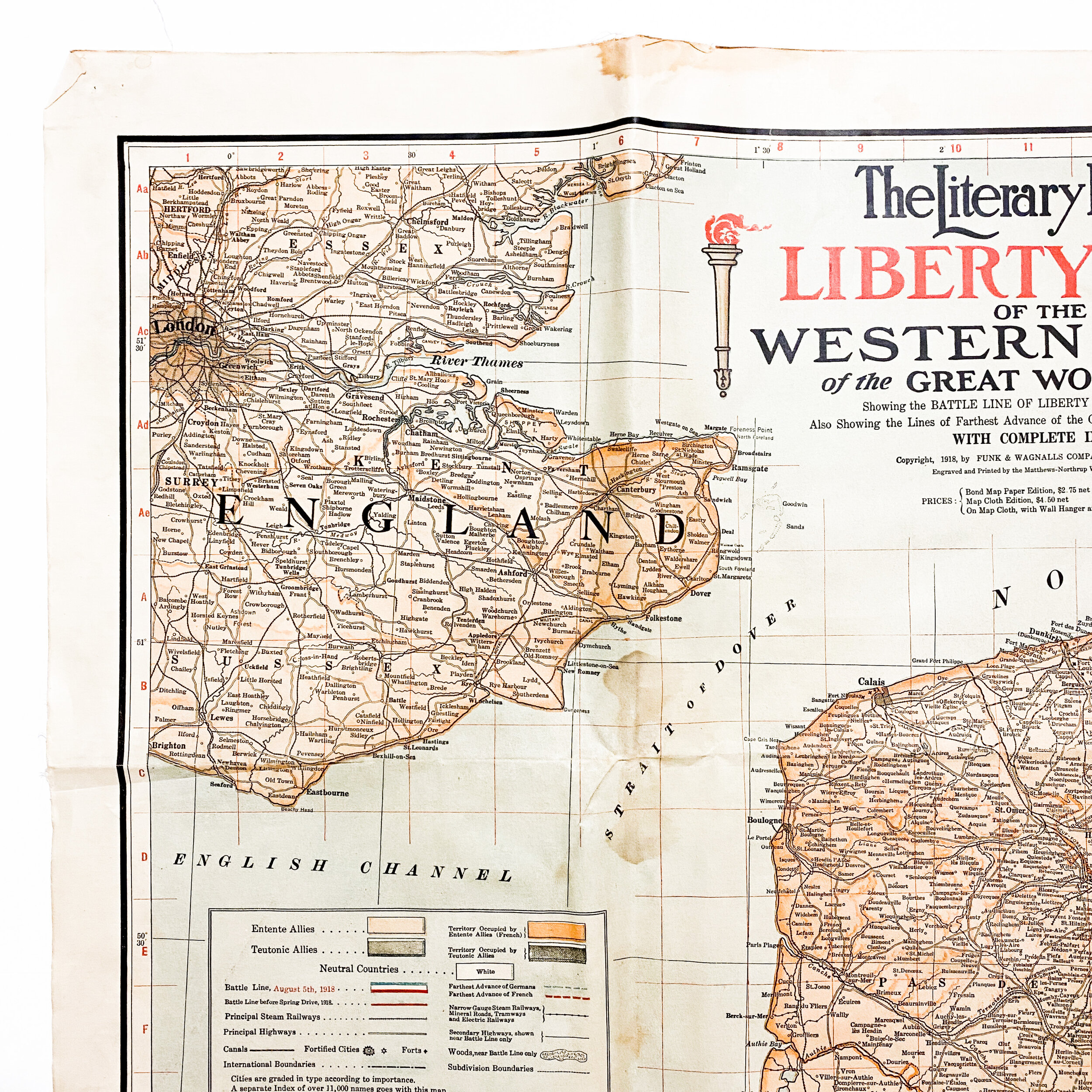
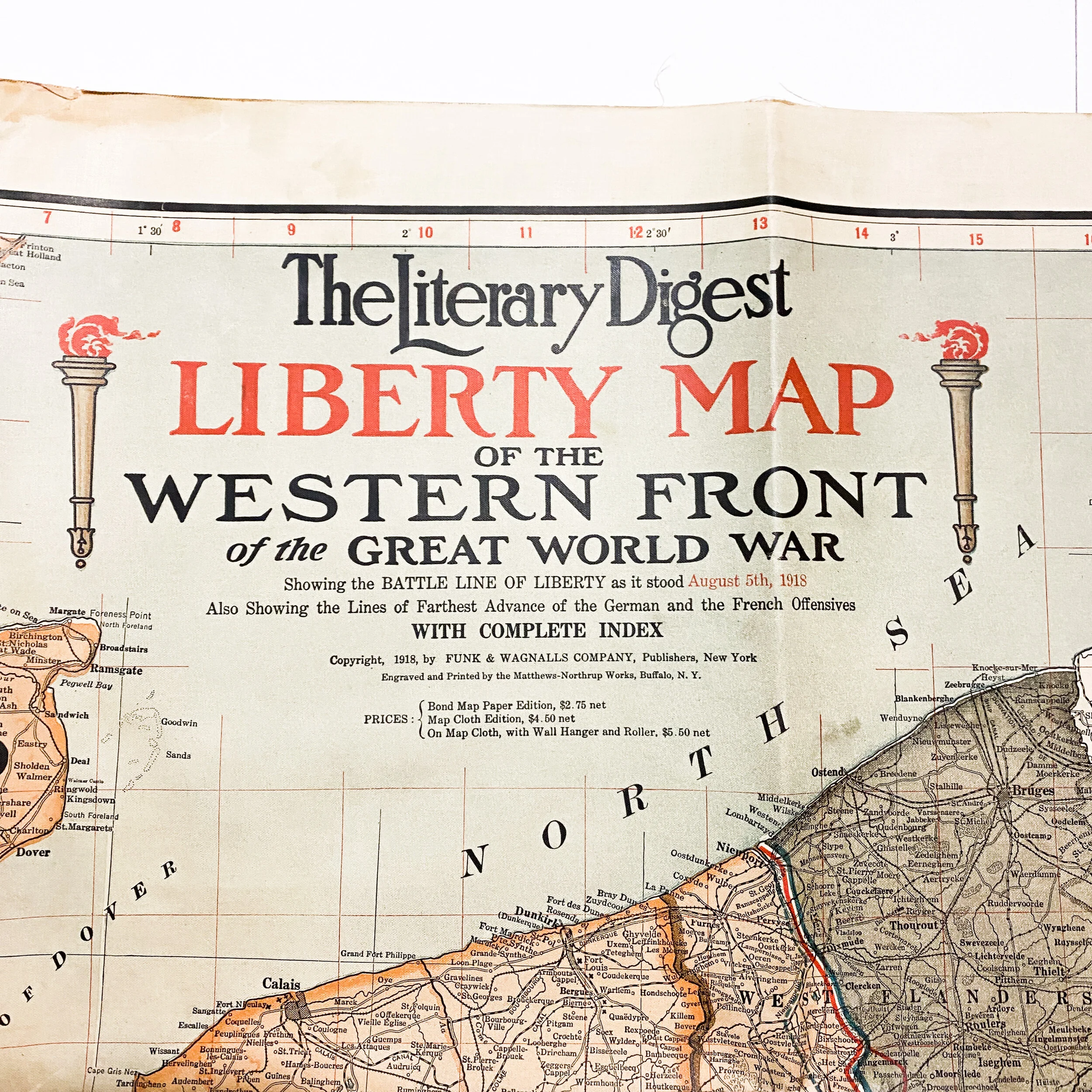


1918 The Literary Digest Liberty Map of the Western Front of the Great World War
Size: 49 x 38 inches
This extremely large original WWI era map was engraved and printed by the Matthews-Northrup Works, Buffalo, N.Y. The map itself is printed on cloth material and was imprint in New York by Funk & Wagnalls Co., c1918. The Literary Digest Liberty Map of the Western Front come with a complete area map of the Great World War showing the battle-line of liberty at "the frontier of freedom", showing lines of the farthest invasions of German and Allied territory, with complete index of over 11,000 names. The map shows the area of the complete war area showing Russian, Italian, Balkan, Palestine and Mesopotamian campaigns; also the zones of submarine blockade, as well as the coal and iron fields in the western war territory. In the top right section it also includes a table of the production of pig iron in metric tons, coal in short tons.
The individual who owned this map marked with blue lines and tracked the A.E.F. advanced during the course of 1918. You can see advancement marks as the Allies made their push against the Germans.