EXTREMELY RARE! WWII 1945 "RESTRICTED" Operation Downfall Panoramic Amphibious Landings Beachhead Reconnaissance Intelligence Photograph For Operation Olympic (Kurokami to Tarumizo - Southern Kyushu)


EXTREMELY RARE! WWII 1945 "RESTRICTED" Operation Downfall Panoramic Amphibious Landings Beachhead Reconnaissance Intelligence Photograph For Operation Olympic (Kurokami to Tarumizo - Southern Kyushu)
Comes with a hand-signed C.O.A. and a full historical write-up research document
From: World War II - Pacific Theater
Unit: Far East Air Forces (FEAF) - 25th Photo Squadron - 6th Photographic Group (Reconnaissance)
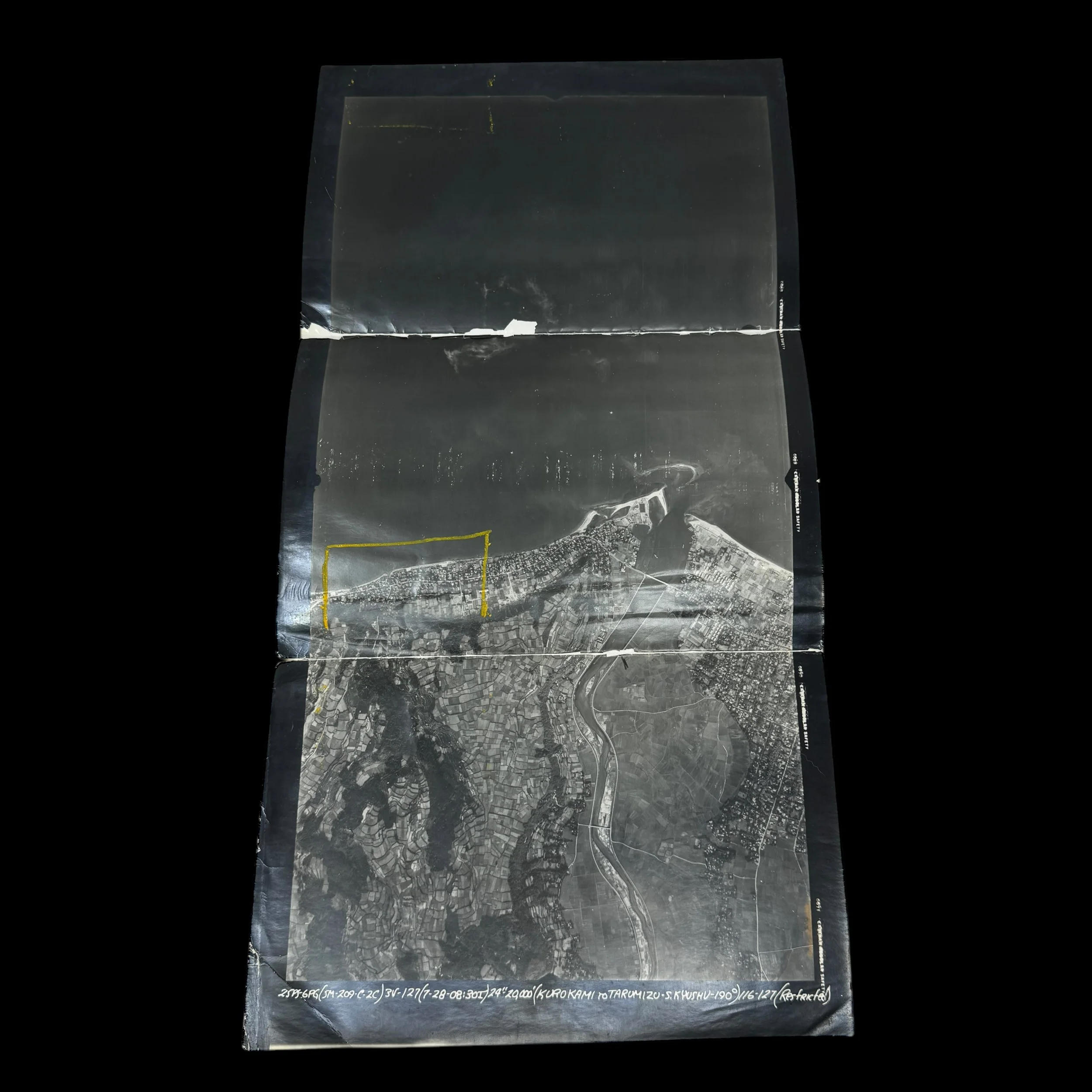
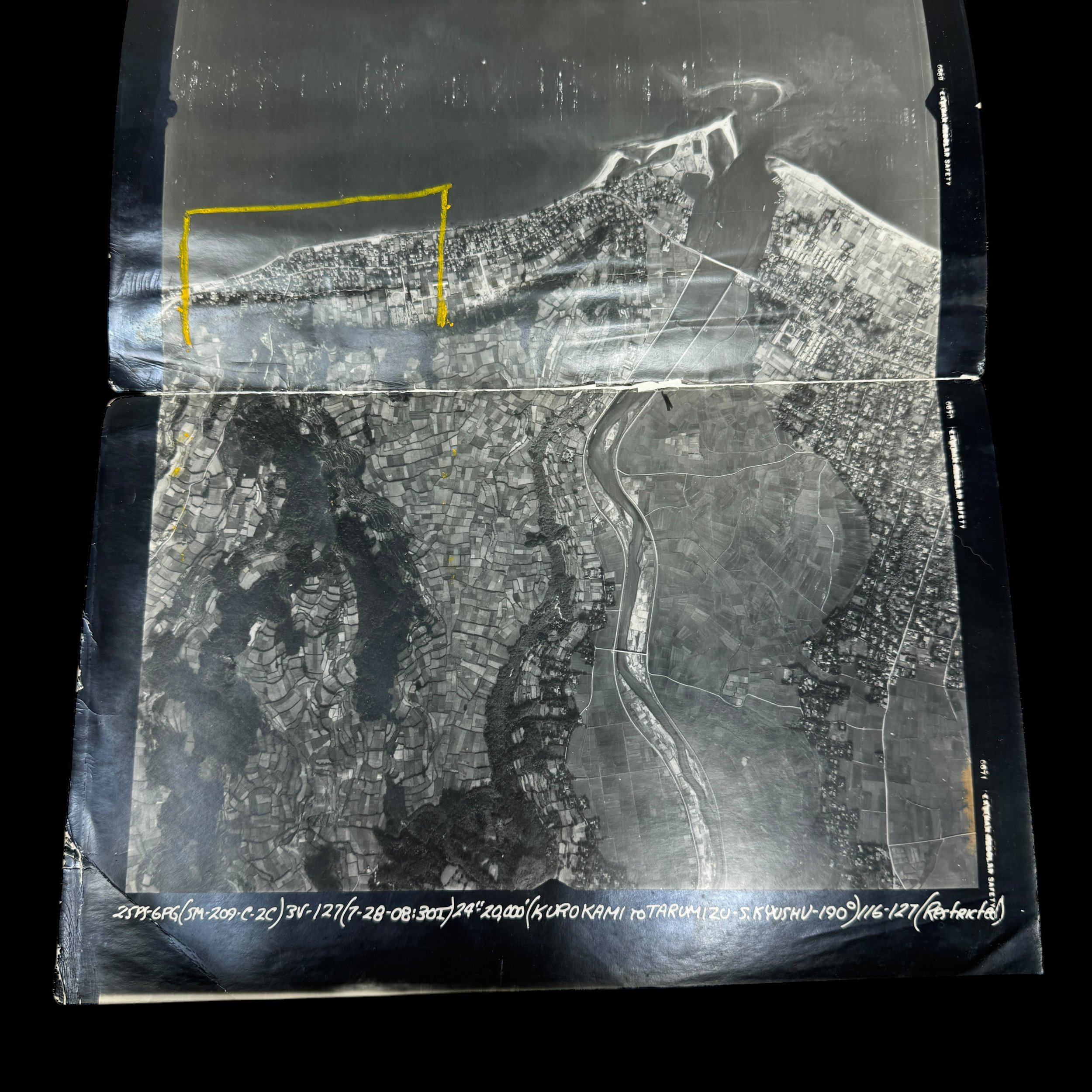
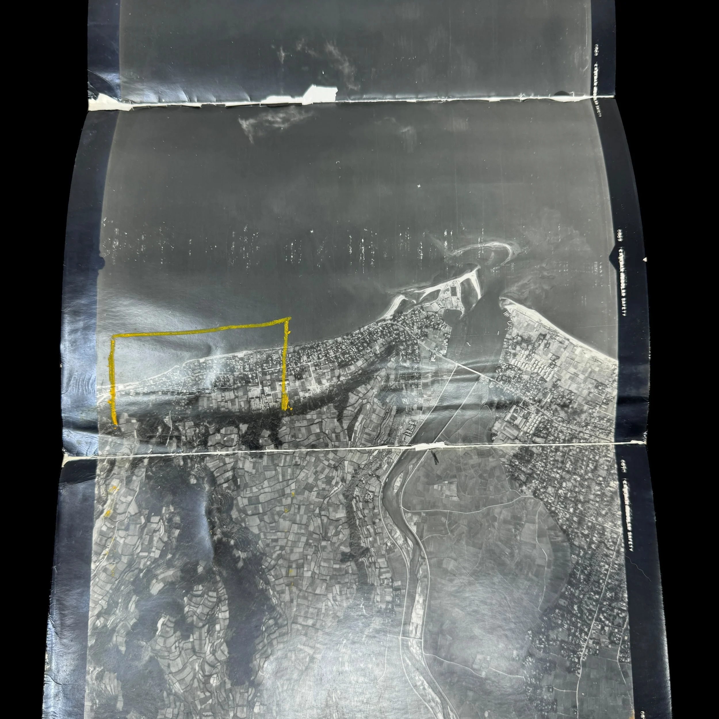
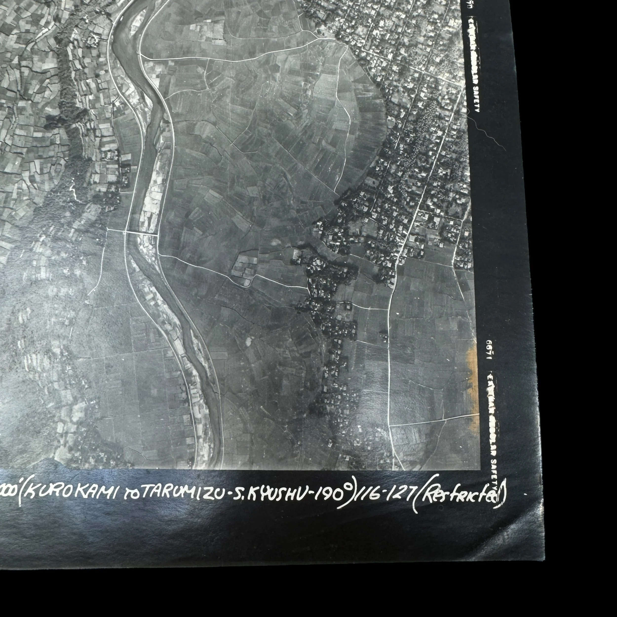
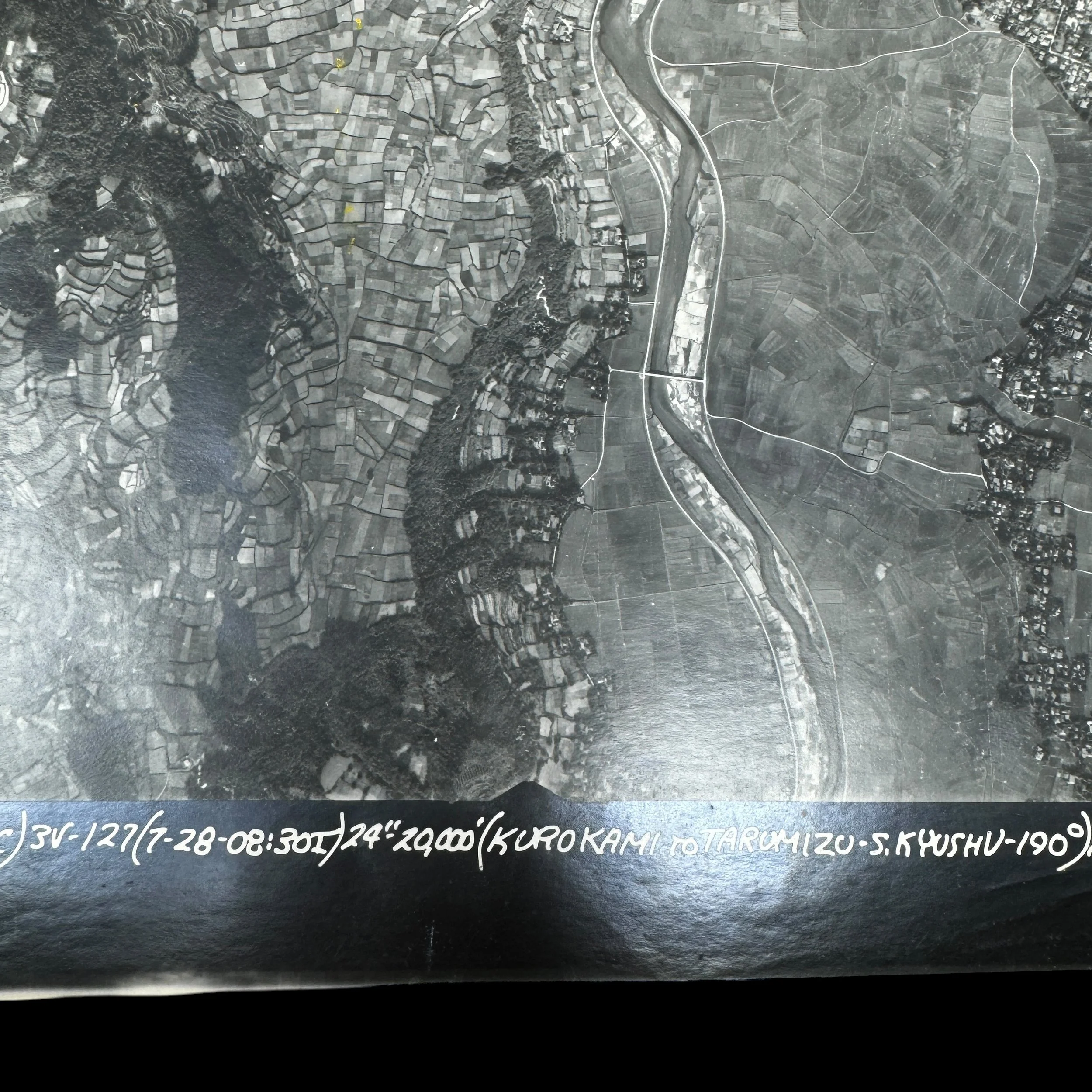
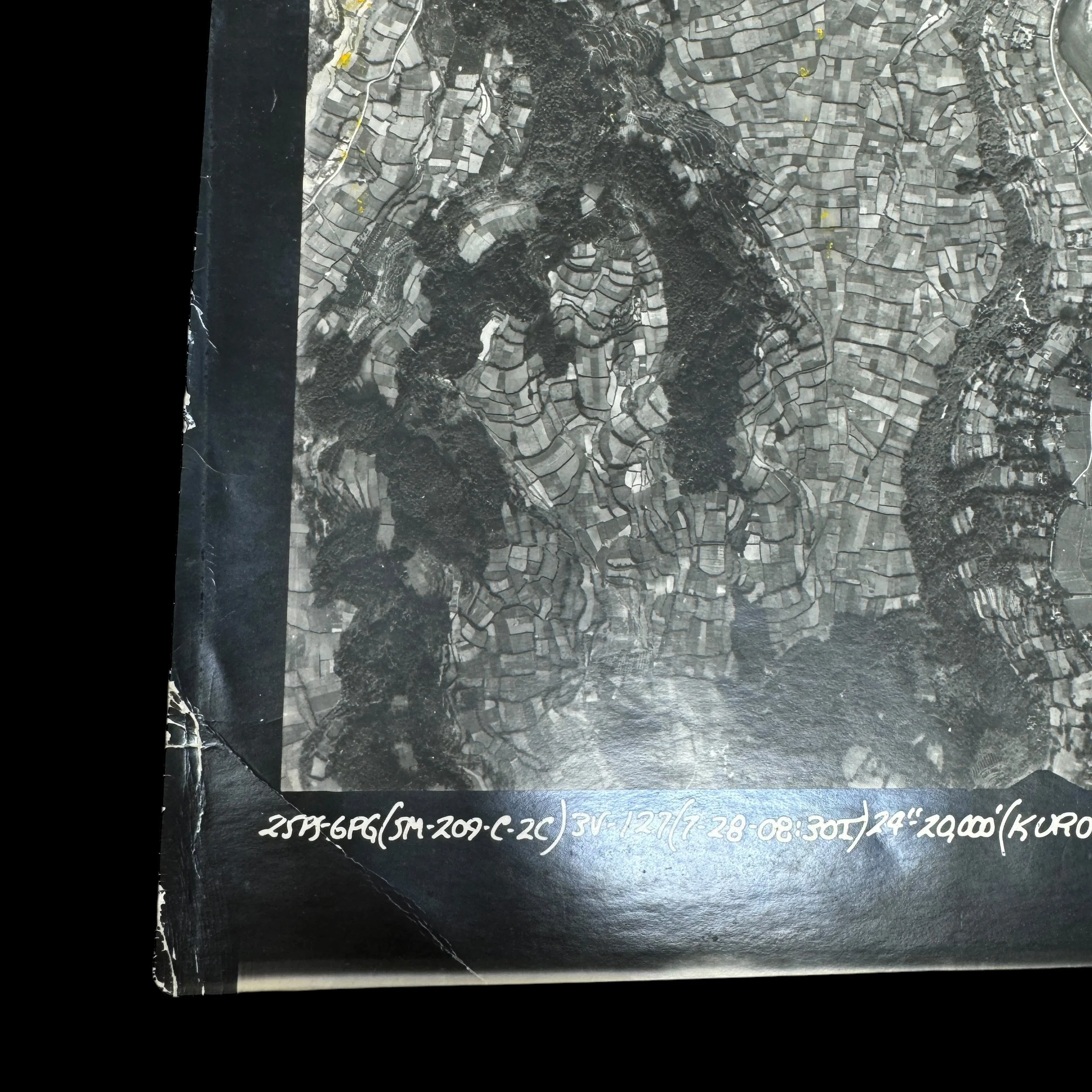
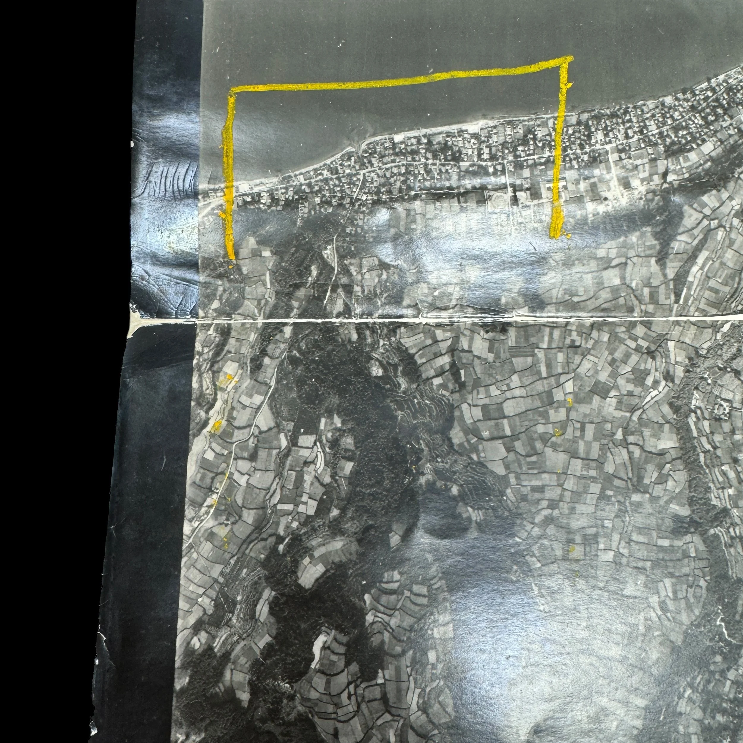
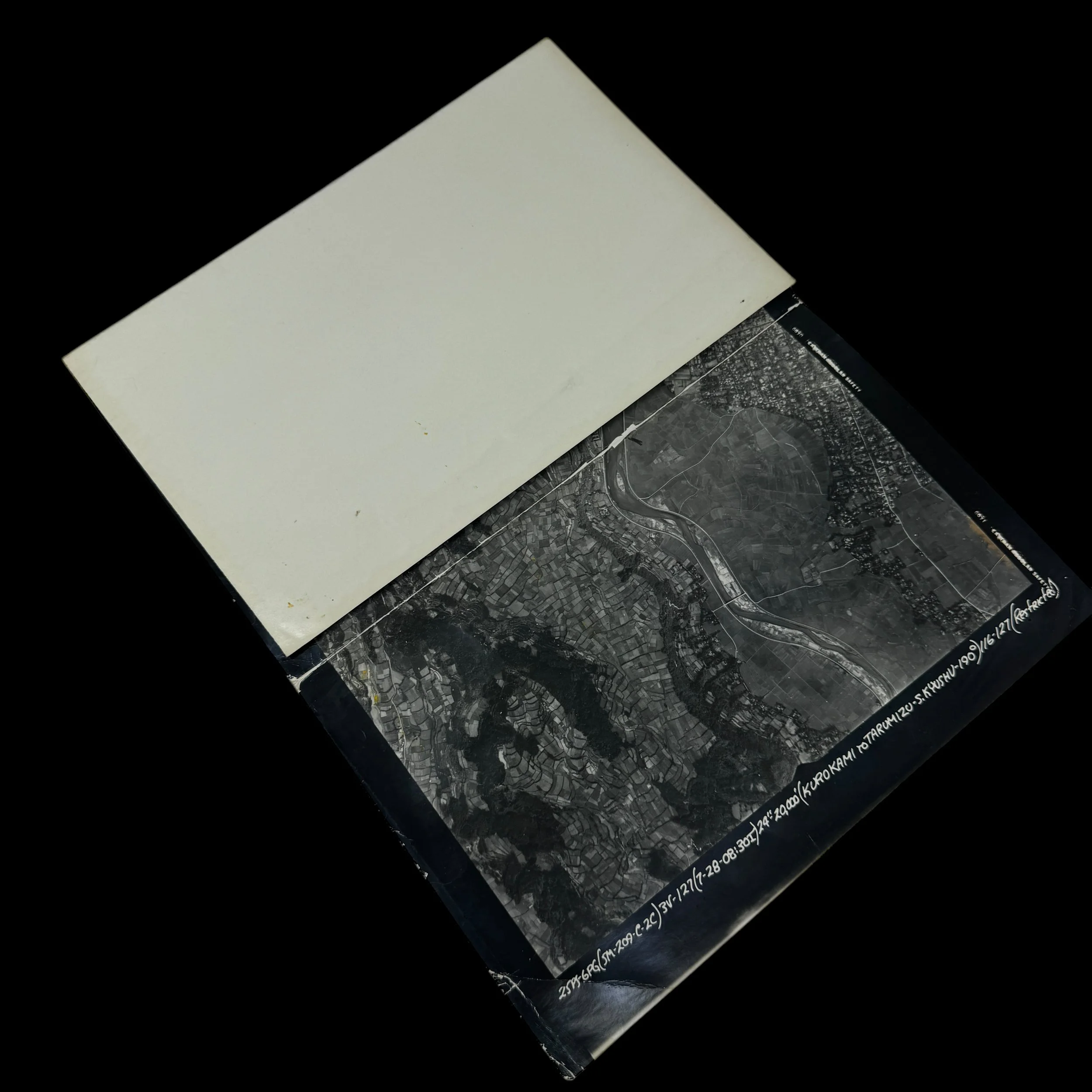
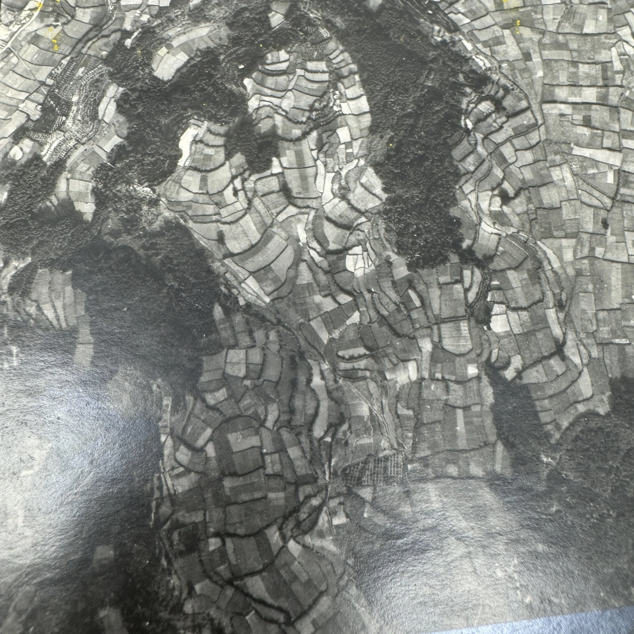
Type: “RESTRICTED” Marked Aerial Reconnaissance Intelligence Photograph Used For Operation Downfall Amphibious Invasion Planning With Marked Kyushu Beachhead of Kurokami to Tarumizo Region
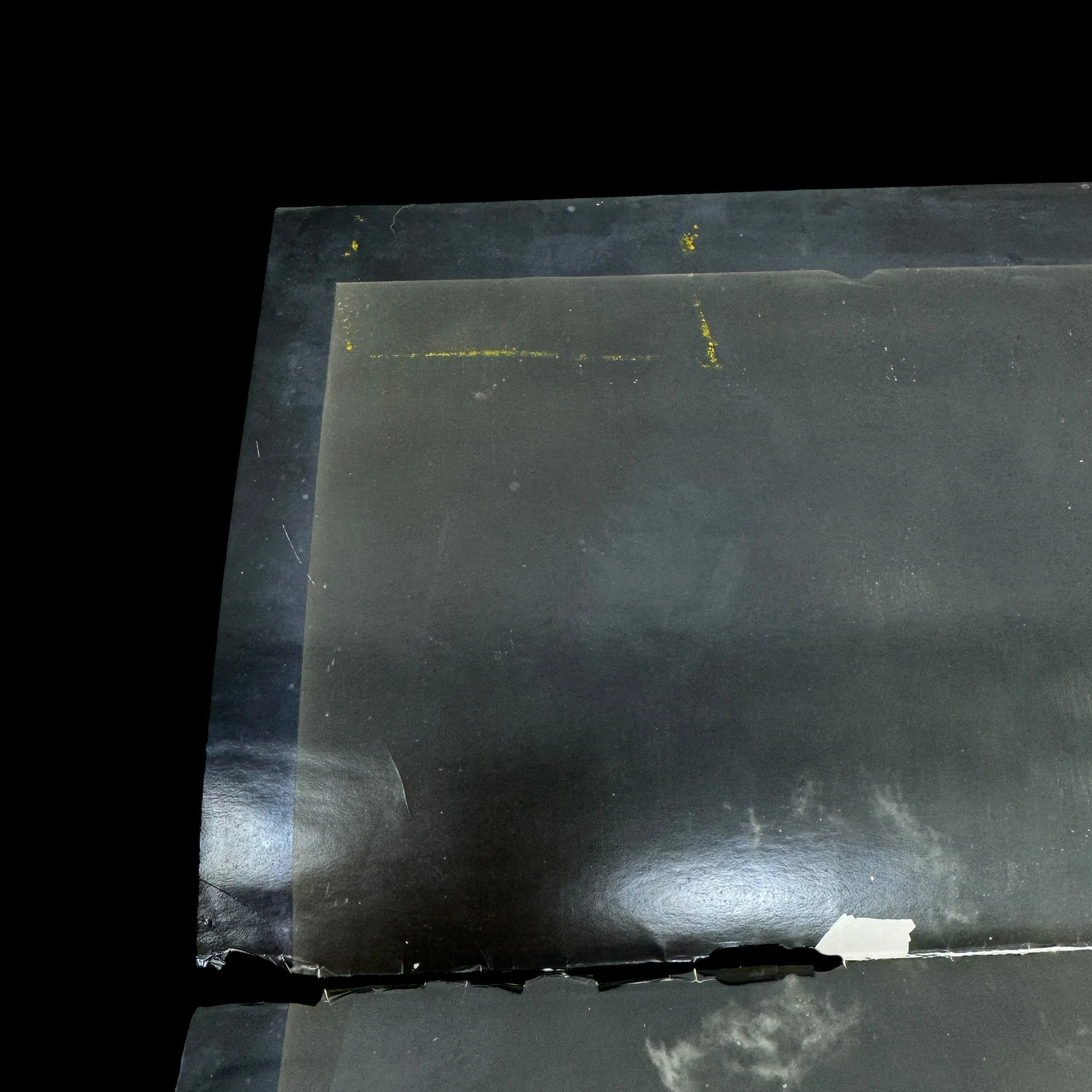
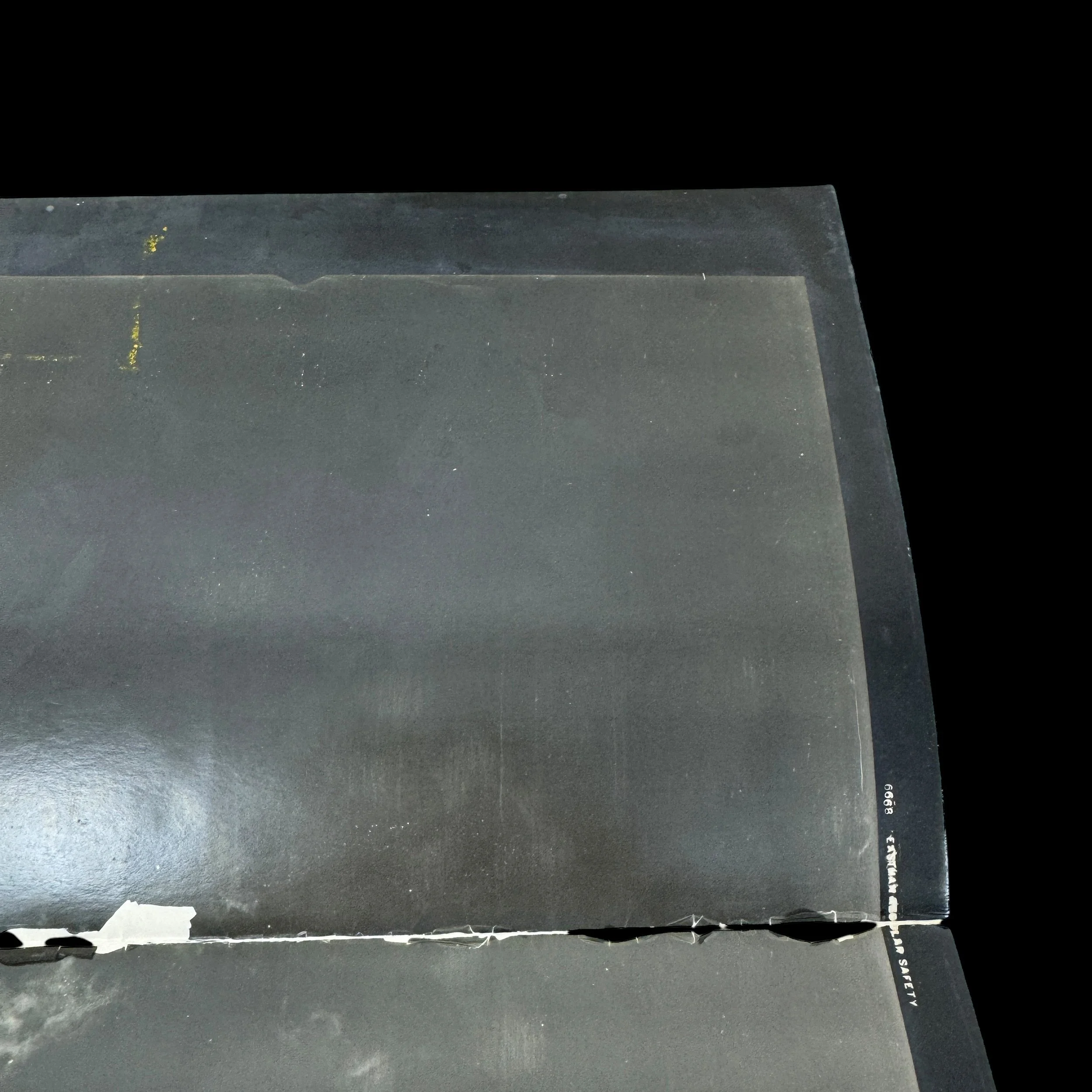
Size: 10 ¼ x 20 inches
Dated: 1945
Target: Kurokami to Tarumizo - Southern Kyushu
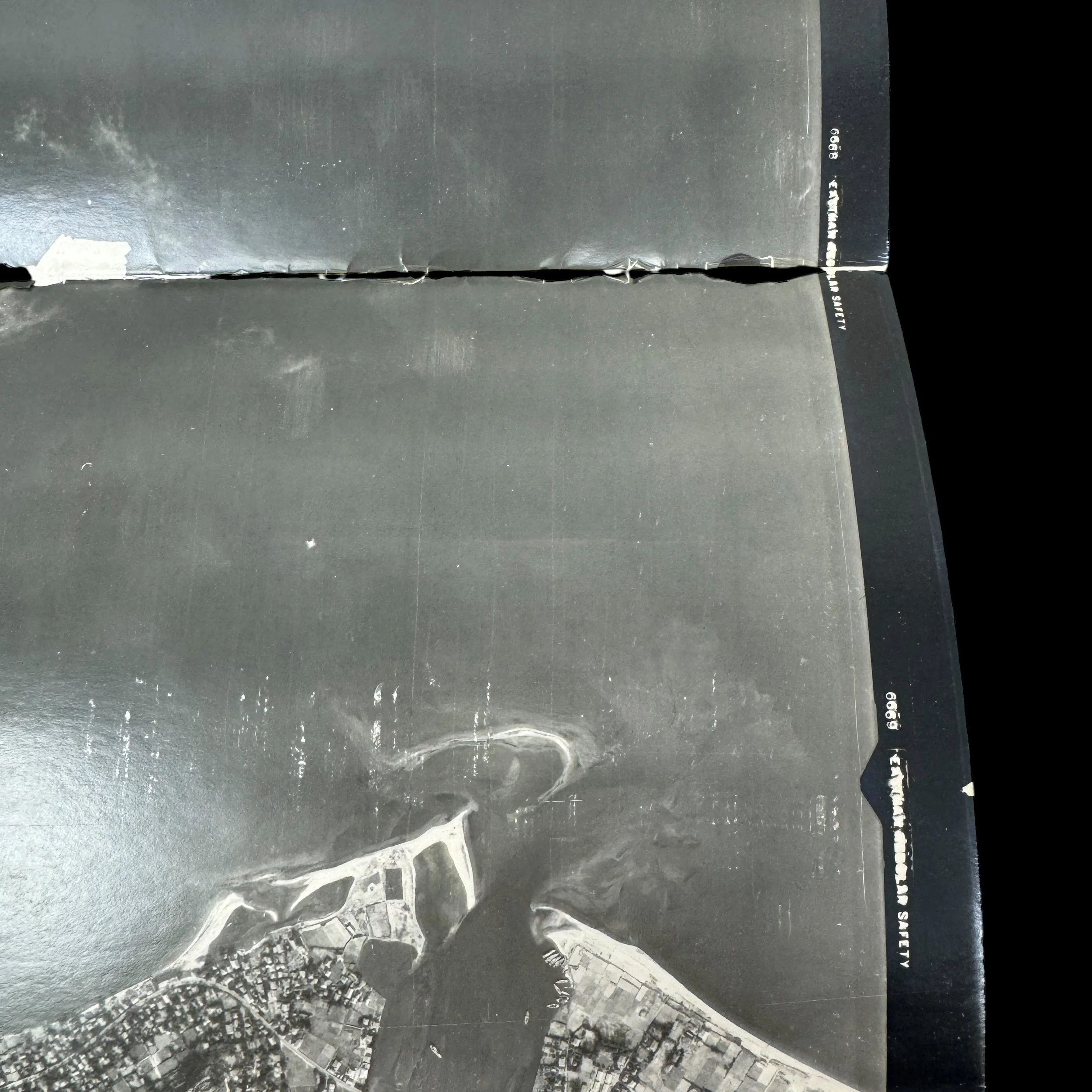
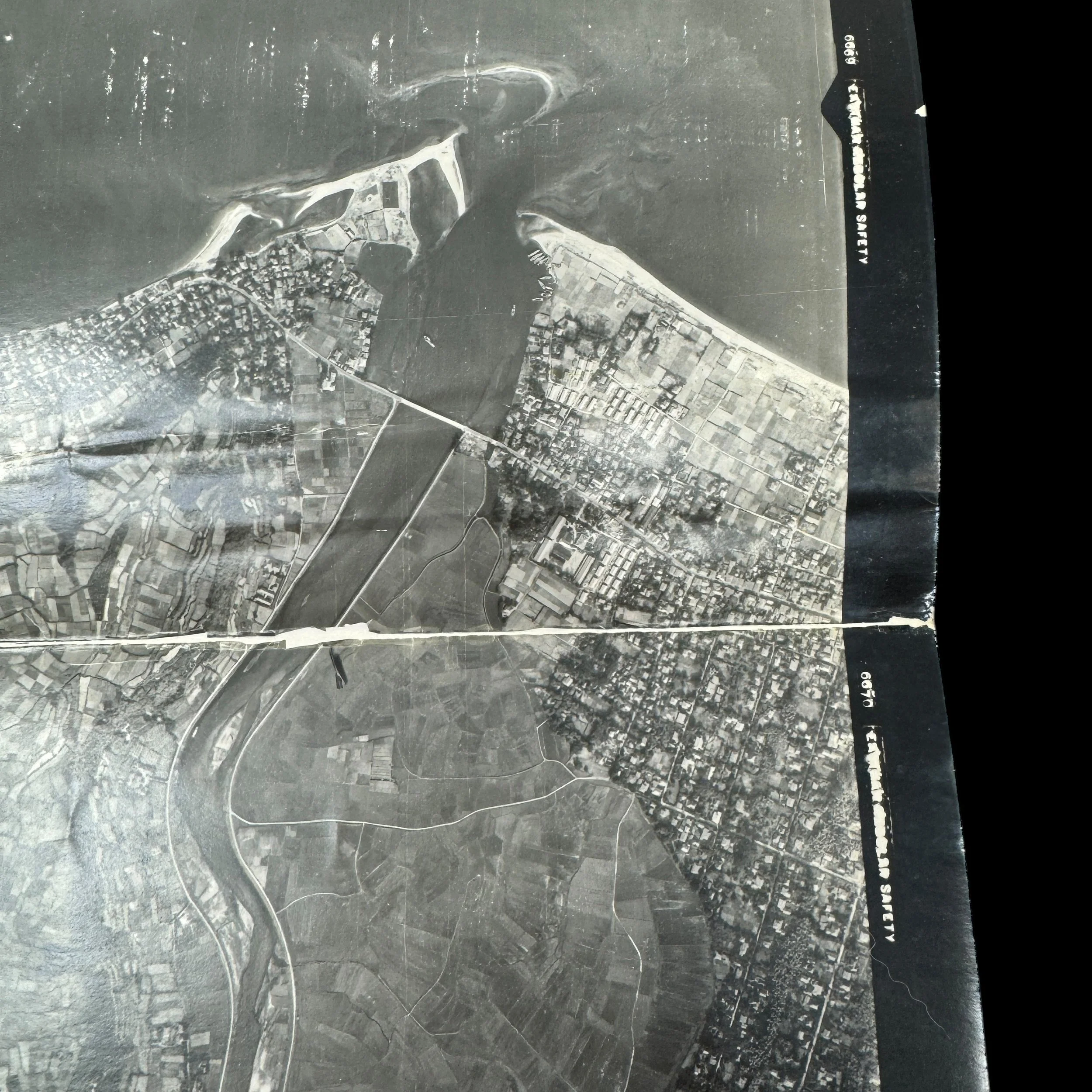
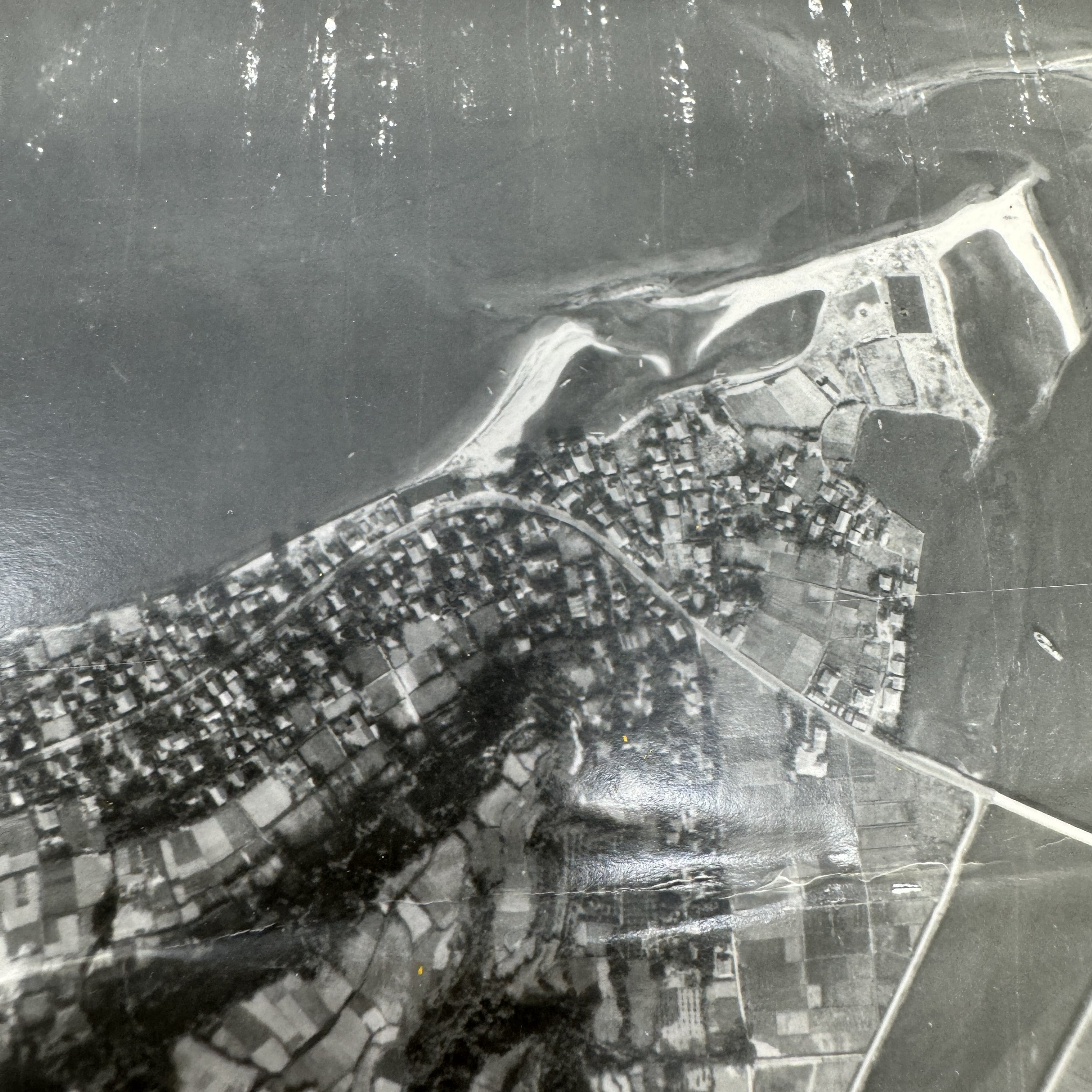
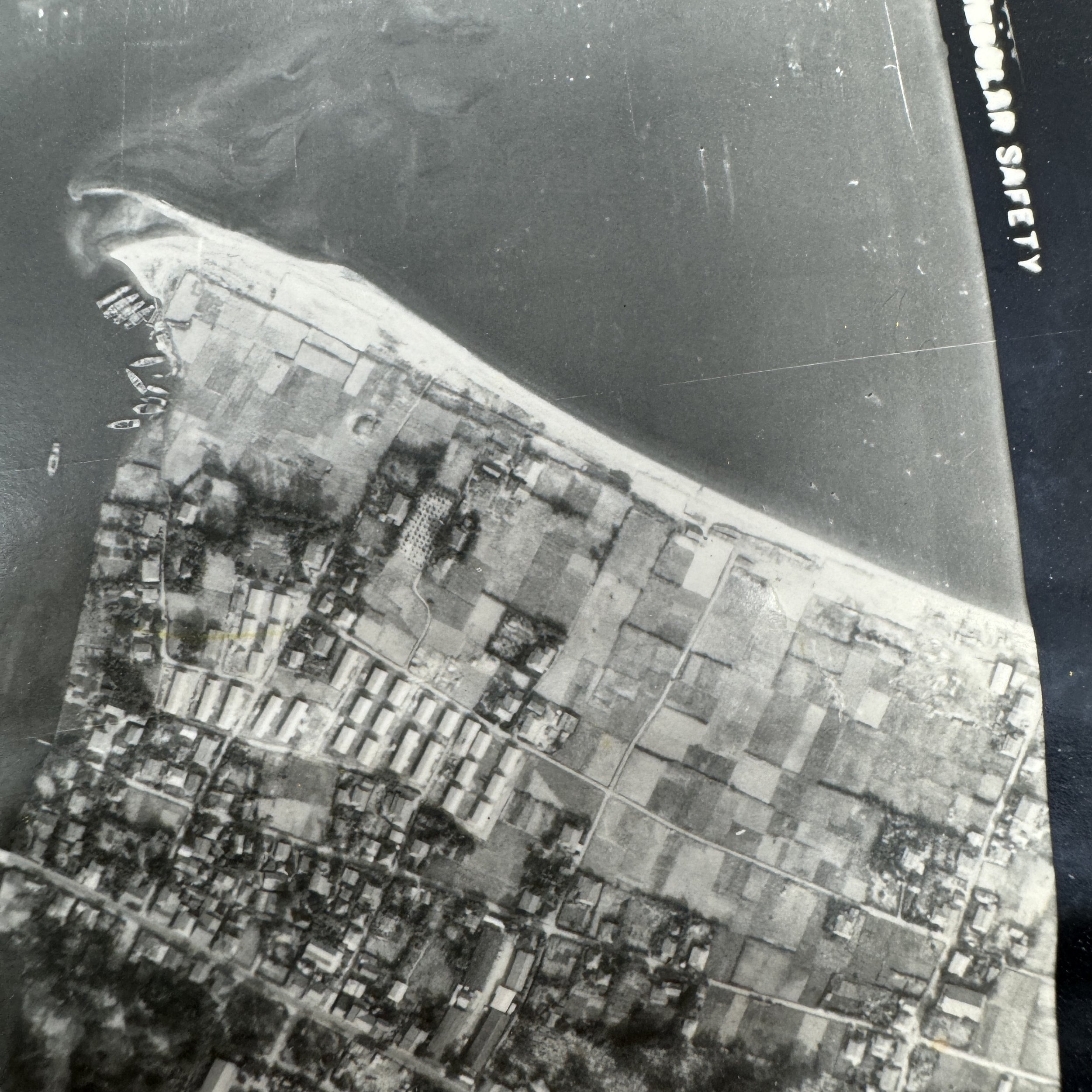
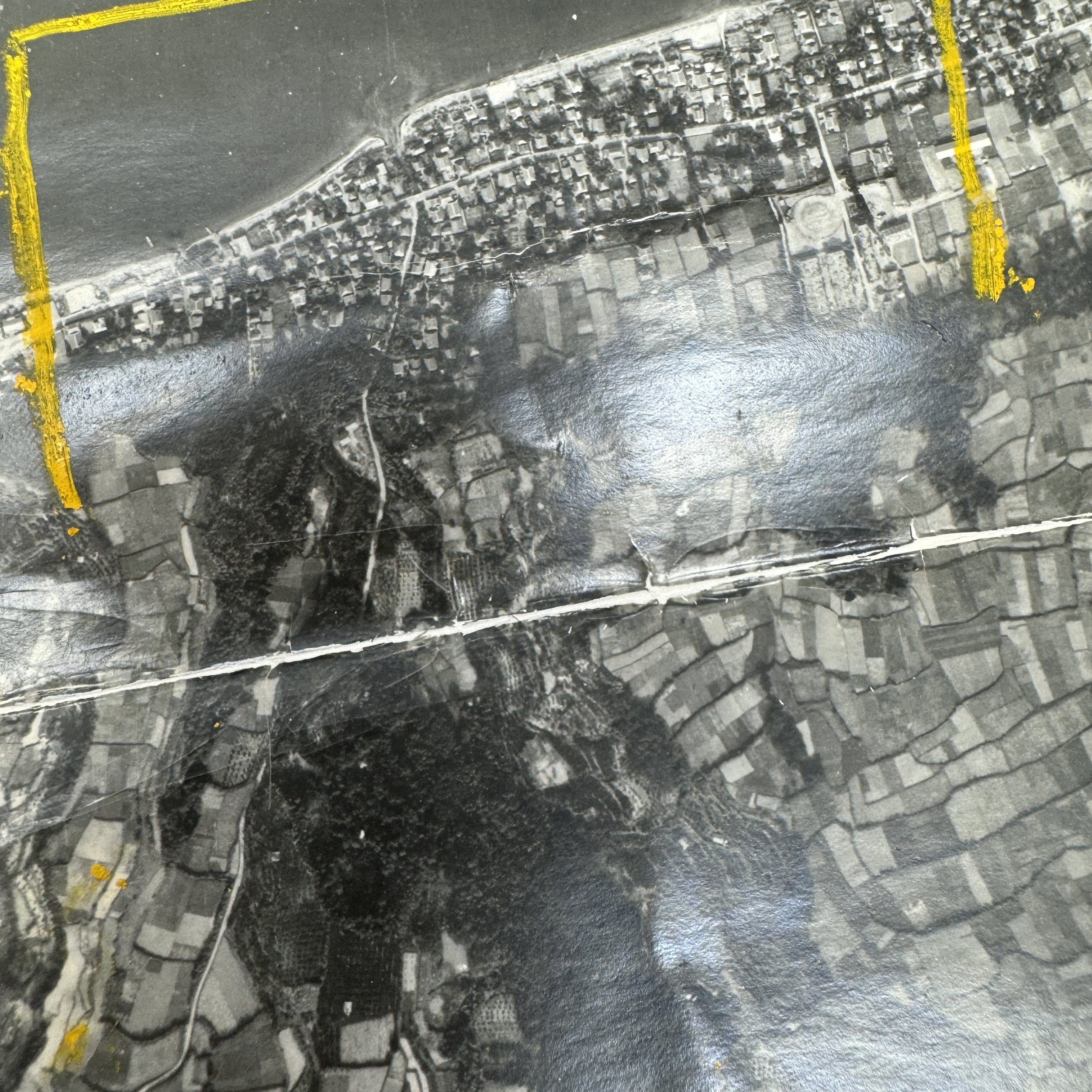
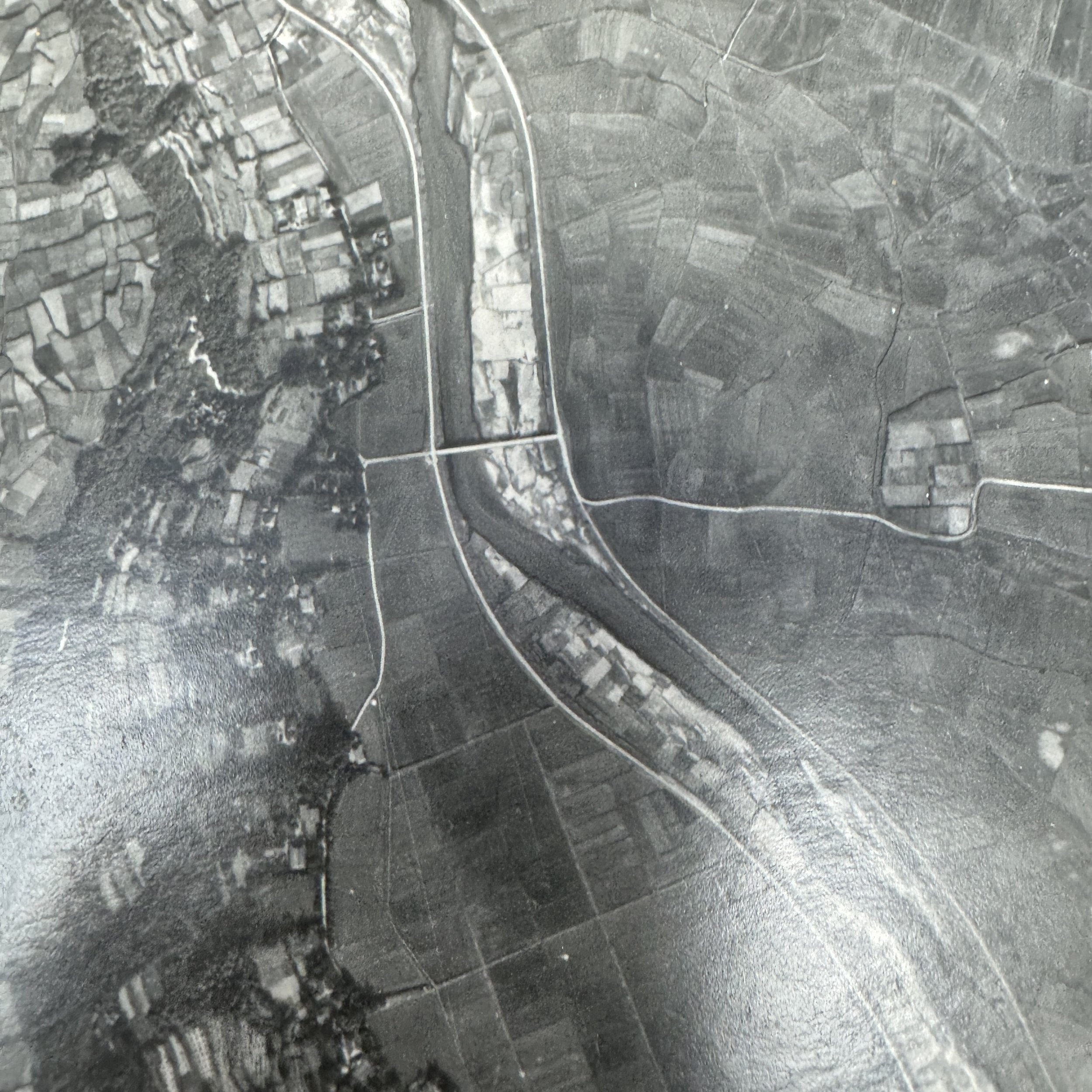
The region from Kurokami to Tarumizo in southern Kyushu held significant strategic importance in 1945 as Allied planners prepared for Operation Downfall, particularly the initial invasion phase, Operation Olympic. Though lacking major airfields, this coastal corridor faced Allied naval staging areas near Okinawa and was suspected of hosting concealed troop movements, supply dumps, and coastal defenses. The 25th Photographic Reconnaissance Squadron of the 6th Photographic Group, under the Far East Air Forces, conducted high-risk F-5 Lightning missions over this area to gather detailed imagery of terrain, infrastructure, and fortifications. These aerial photographs were critical in identifying potential landing zones, mapping defensive positions, and supporting both tactical bombing and ground invasion planning. Their intelligence helped shape operational decisions by revealing how the Japanese had militarized the region to resist an amphibious assault. While the atomic bombings ultimately made the invasion unnecessary, the 25th’s reconnaissance over Kurokami to Tarumizo played a vital role in preparing the most ambitious Allied operation of the Pacific War.
This extremely rare and museum-grade World War II artifact is an original “RESTRICTED” stamped aerial reconnaissance intelligence photograph, captured by the25th Photographic Reconnaissance Squadronof the6th Photographic Group (Reconnaissance)during high-altitude missions over southern Kyushu in 1945, with a particular focus on the vital region stretching fromKurokami to Tarumizo.
Located along the southeastern rim of Kagoshima Bay, this area was of immense strategic significance to Allied planners preparing forOperation Downfall, the proposed invasion of the Japanese home islands. Specifically, the region was identified as a key section of the invasion corridor forOperation Olympic, the first phase of the plan, which would involve large-scale amphibious landings on southern Kyushu scheduled for November 1945.
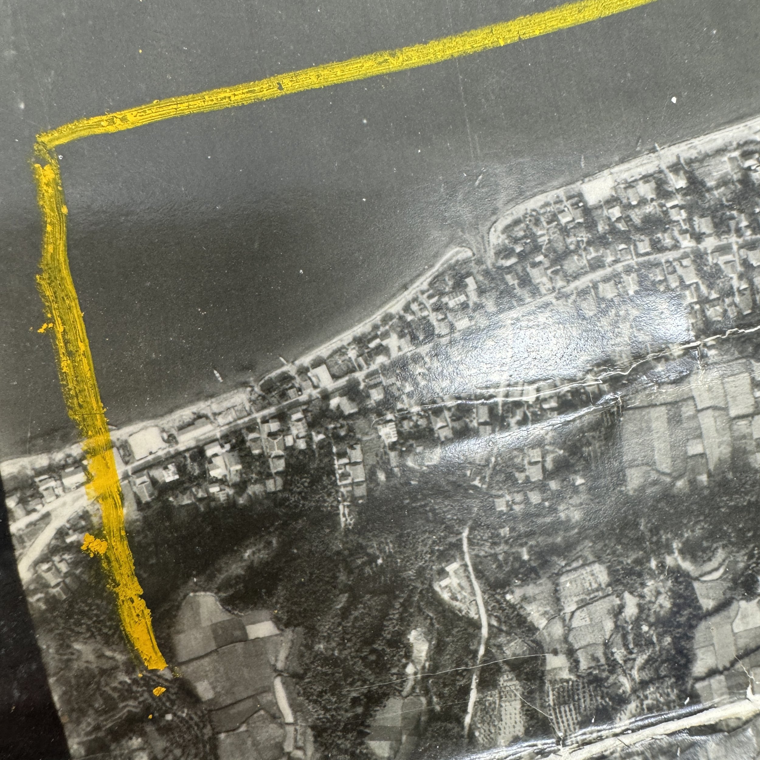
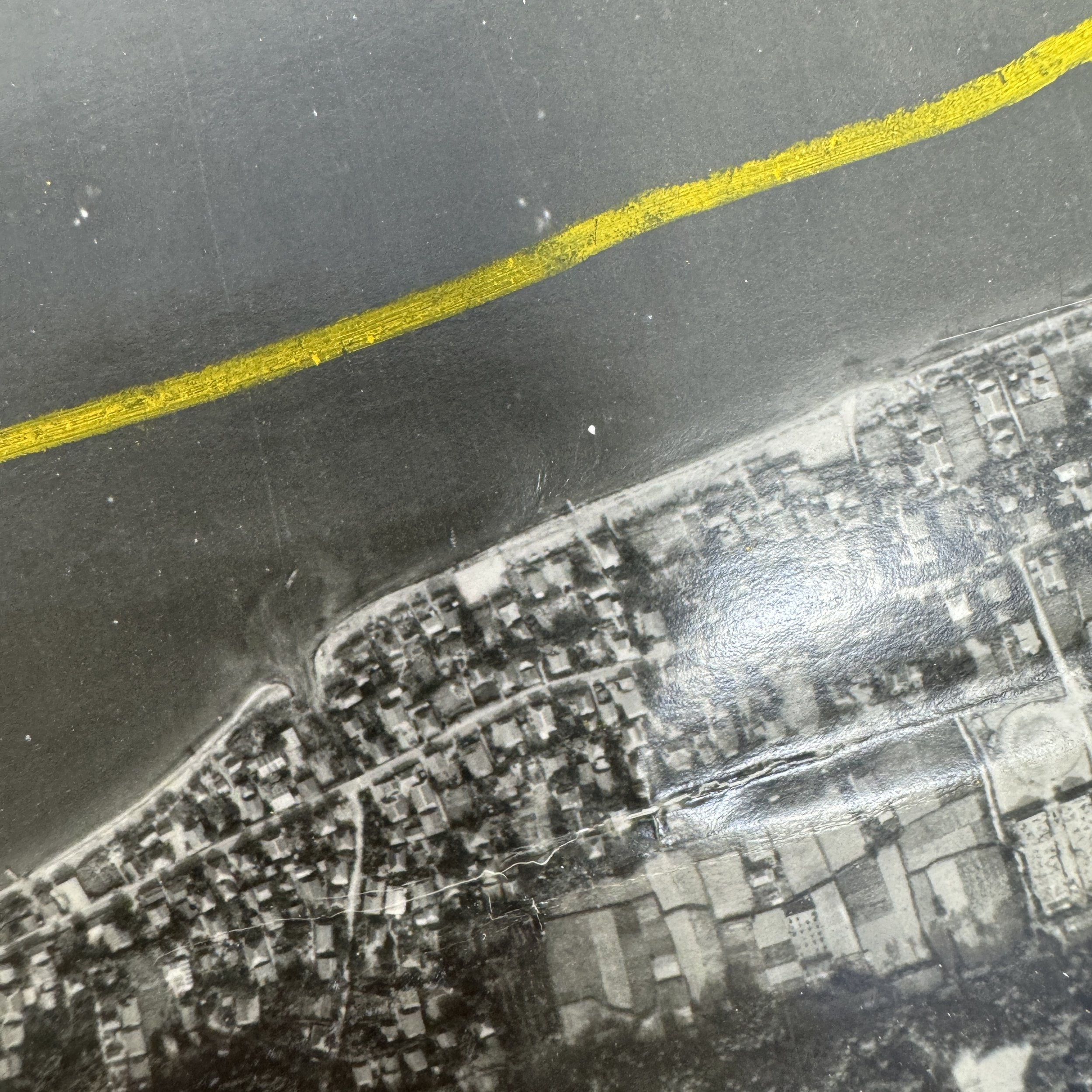
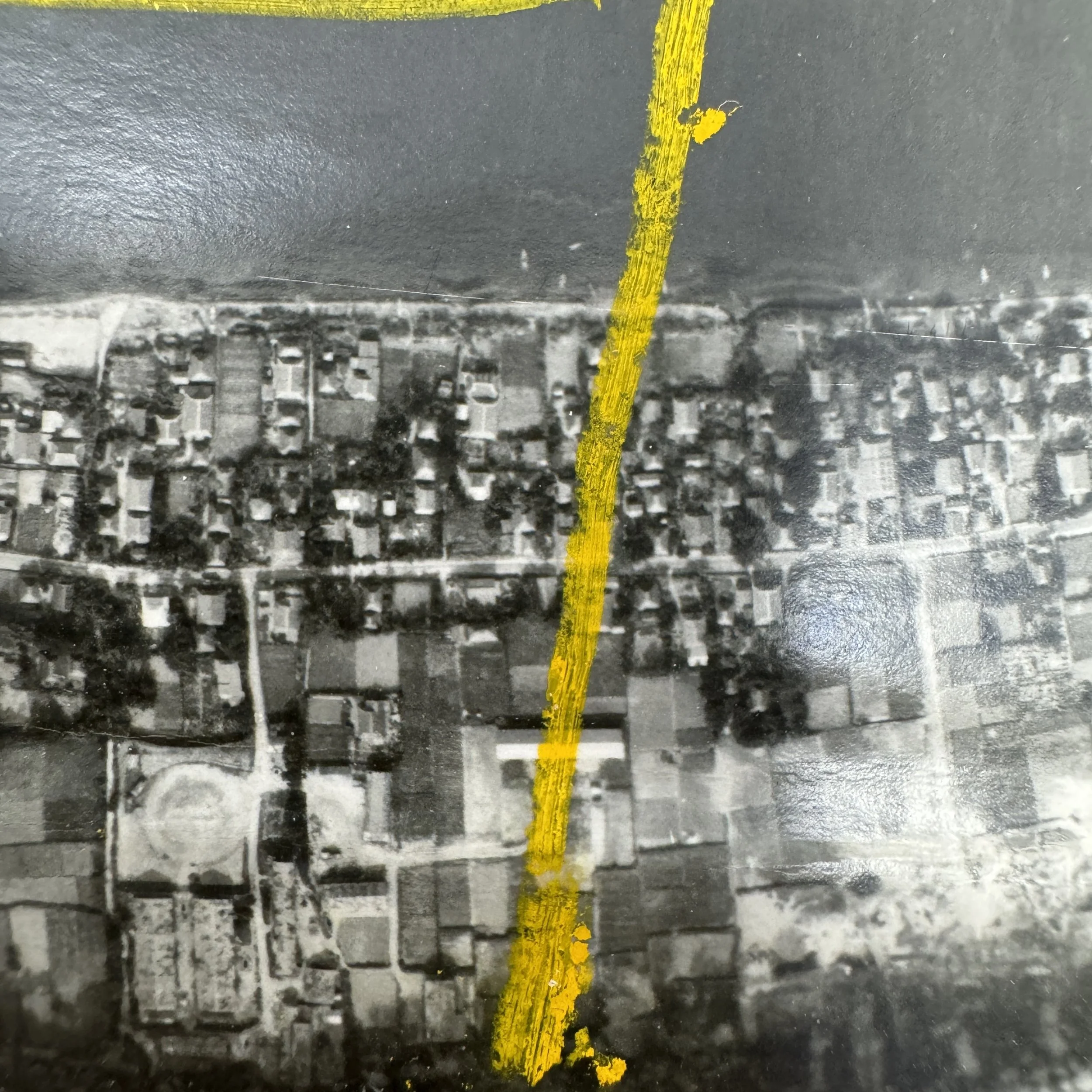
The mountainous terrain, dense vegetation, and concealed transportation routes in the Kurokami-Tarumizo corridor made it a prime candidate for defensive build-up by Japanese forces, who were expected to fiercely resist any Allied beachhead along the coast. The 25th Photo Squadron’s F-5 Lightning aircraft conducted repeated reconnaissance sweeps over this region, capturing thousands of high-resolution aerial photographs that were used to map topography, spot troop concentrations, and identify artillery placements, tunnel systems, and fallback positions that would have confronted American landing forces.
These images were analyzed and marked by intelligence personnel, then distributed to invasion planners, bombardment units, and field commanders to refine their operations. The reconnaissance data from Kurokami to Tarumizo proved critical in assessing terrain suitability for landing craft, evaluating road networks for supply movement, and determining areas where heavy engineering support would be needed for vehicle passage. This corridor’s strategic location—guarding the southeastern approach to the interior of Kyushu—meant it would likely serve as both a battlefield and a logistical chokepoint in the opening days of Operation Olympic. The work of the 25th Photo Squadron in documenting this landscape not only contributed to the tactical planning of the largest amphibious assault ever conceived, but also revealed the scale of Japan’s defensive preparations in real time. Though Operation Downfall was ultimately never carried out due to Japan’s surrender, the reconnaissance efforts over the Kurokami-Tarumizo region remain a remarkable example of the detailed preparation and coordination required for such a massive and complex invasion.