RARE! WWII 1944 Omaha Beach Command Normandy to Paris Logistical Supply Route Map Used During Operation Cobra and Breakout of Normandy
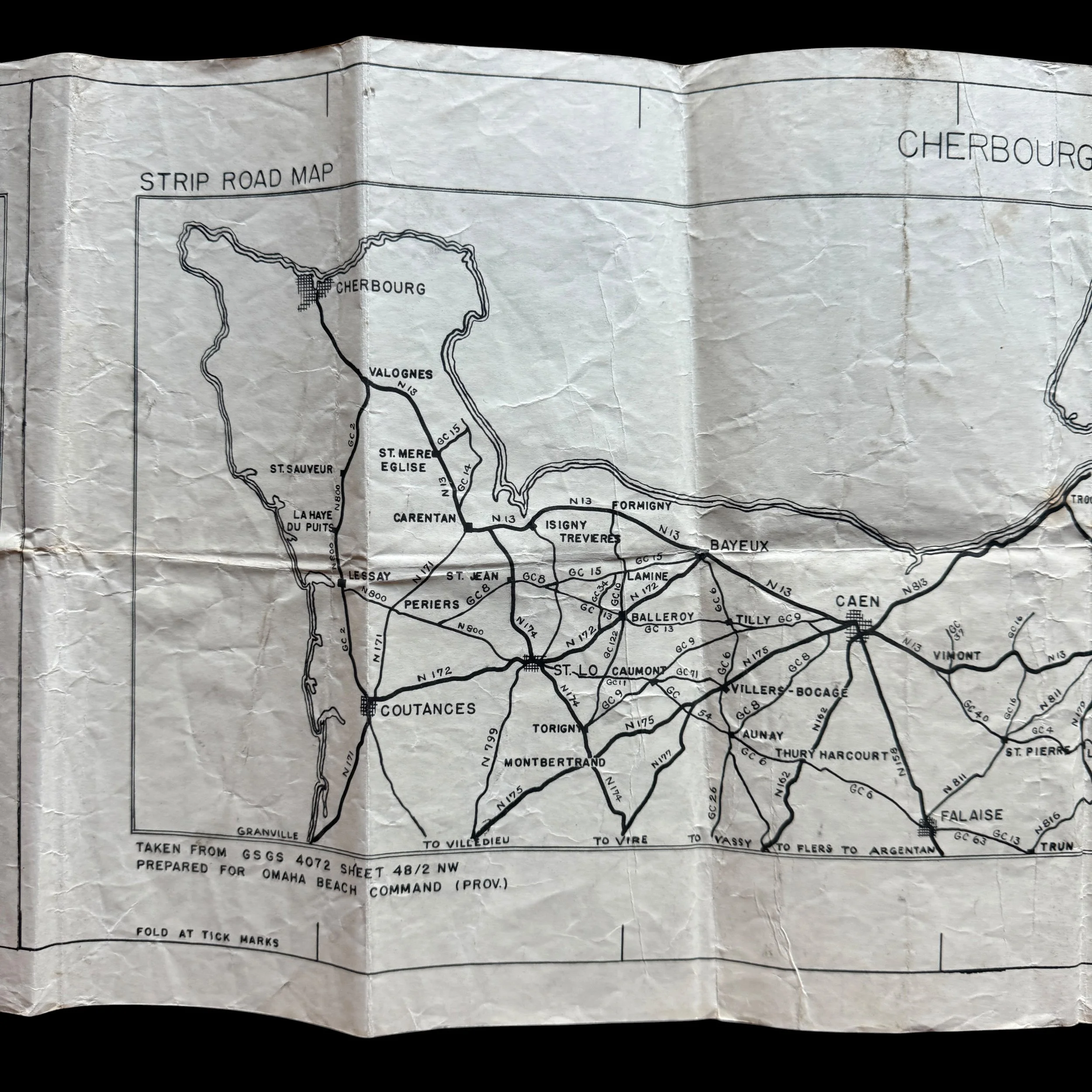
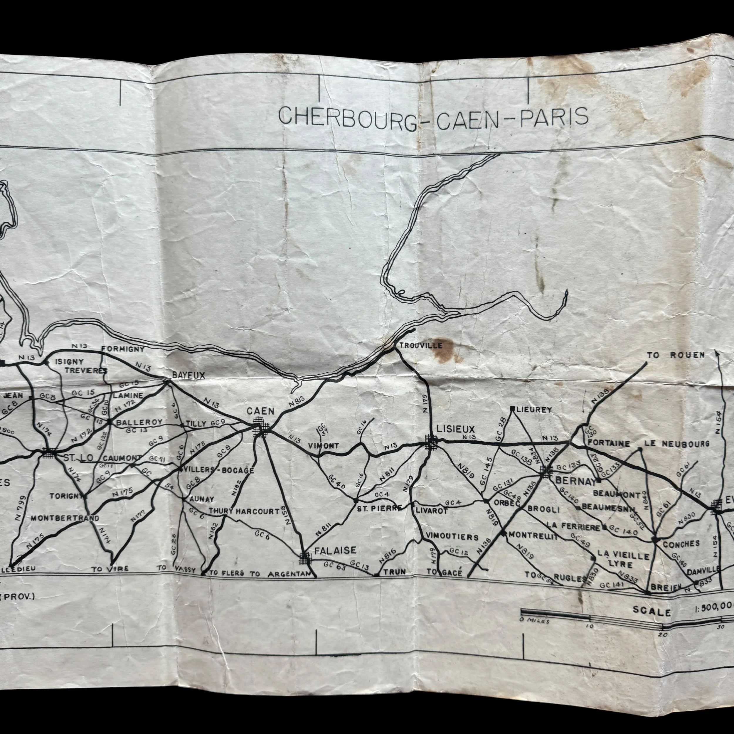
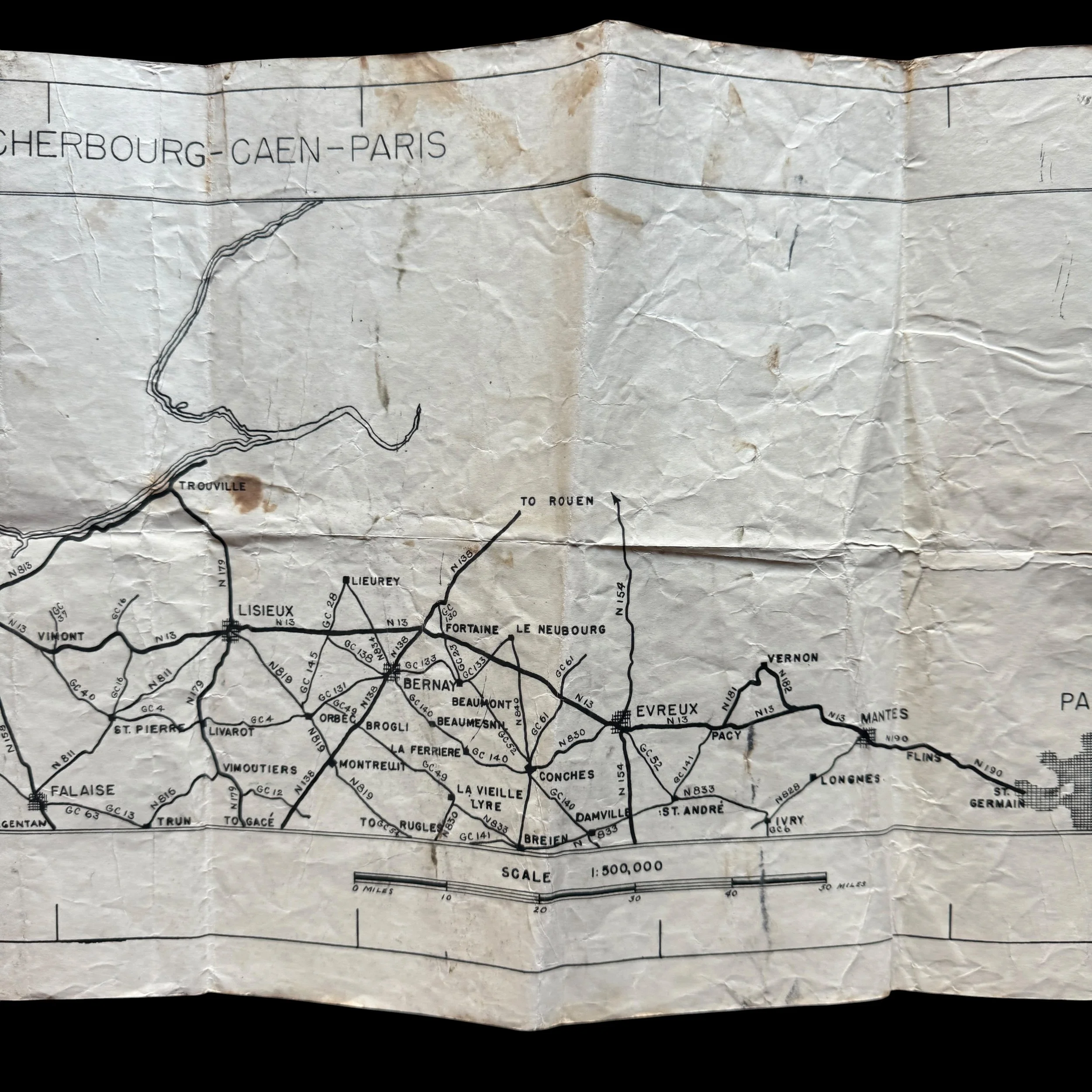
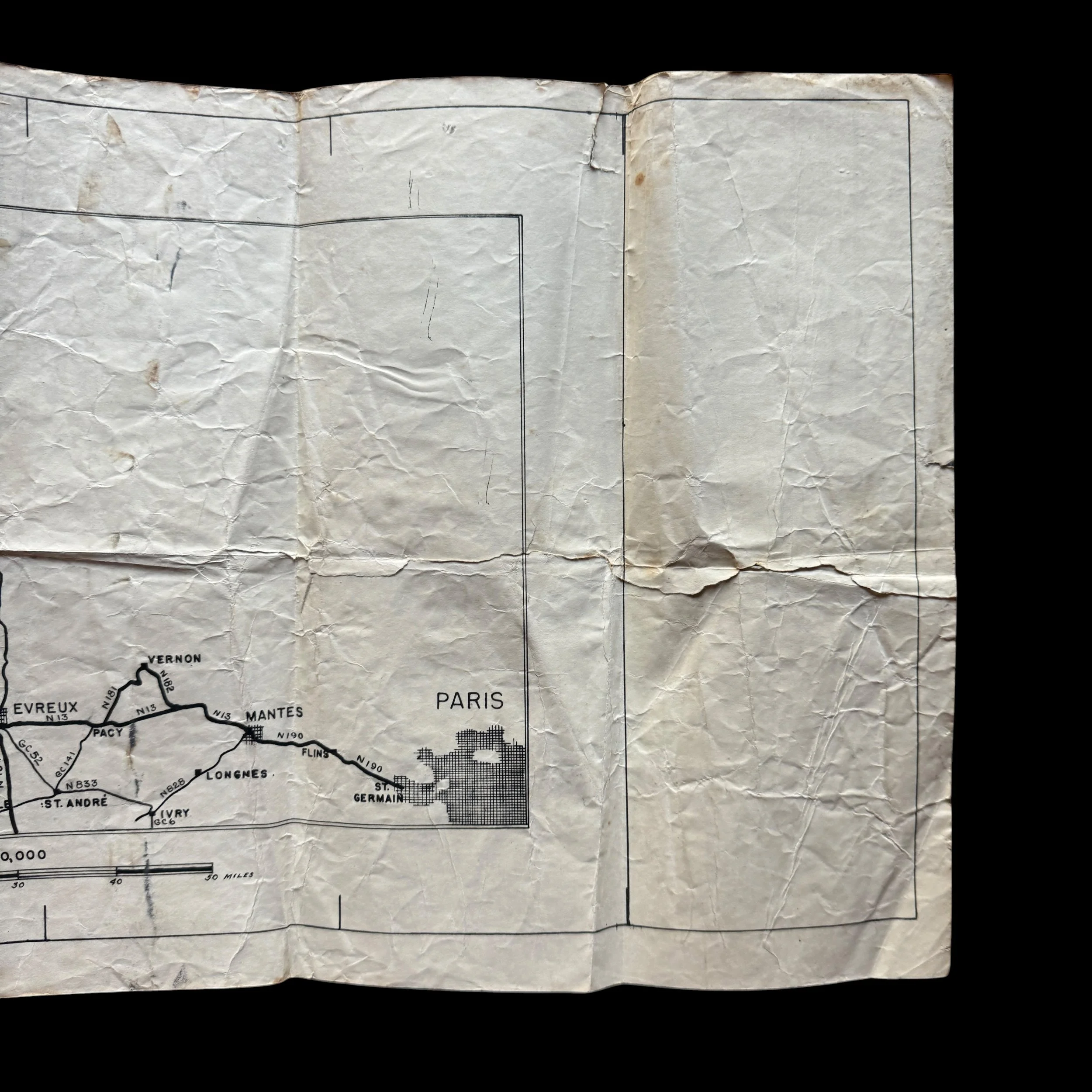
RARE! WWII 1944 Omaha Beach Command Normandy to Paris Logistical Supply Route Map Used During Operation Cobra and Breakout of Normandy
Comes with a hand-signed C.O.A.
Size: 12 × 37 inches
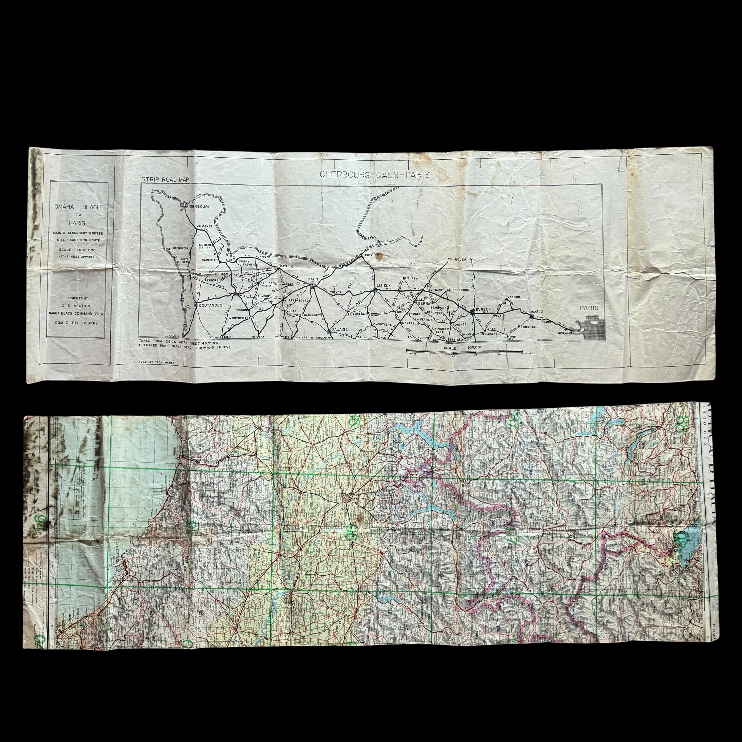
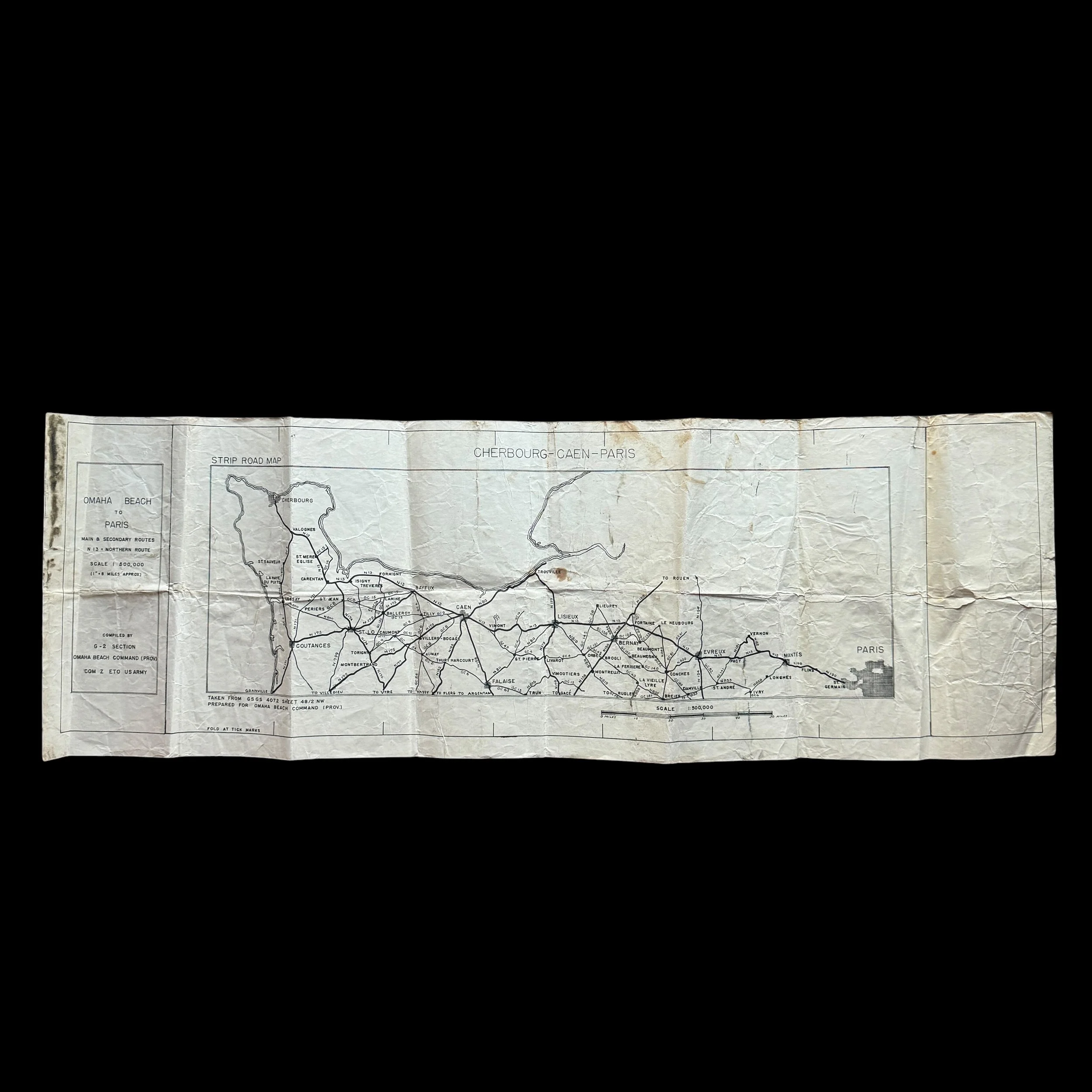
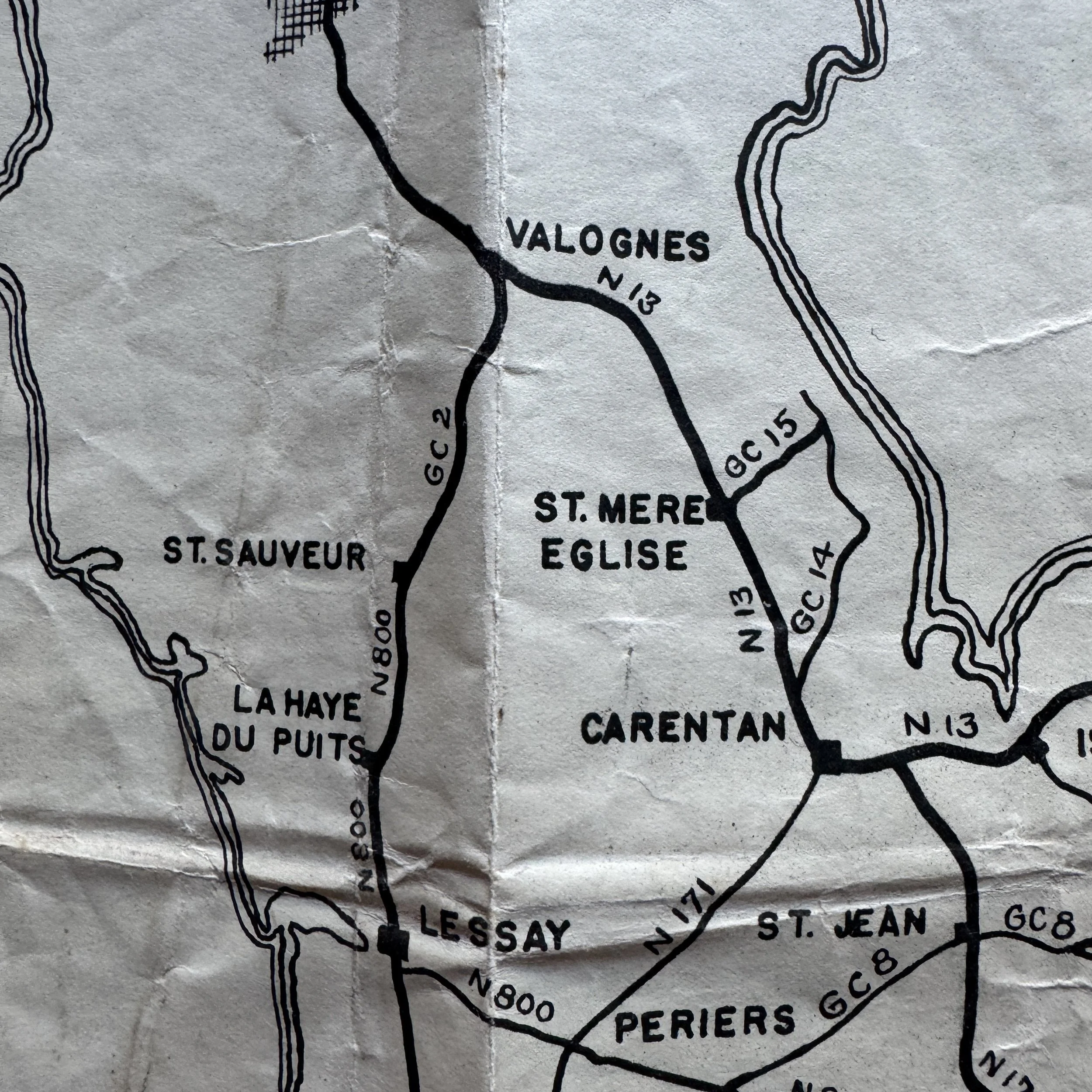
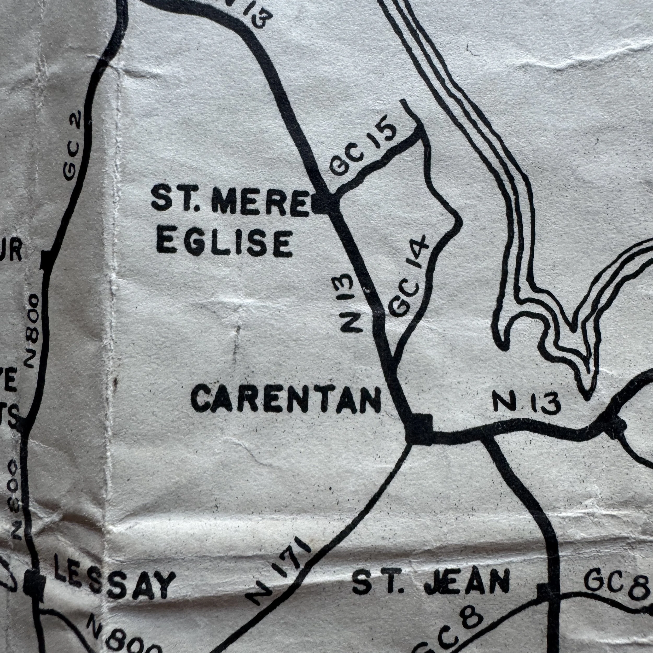
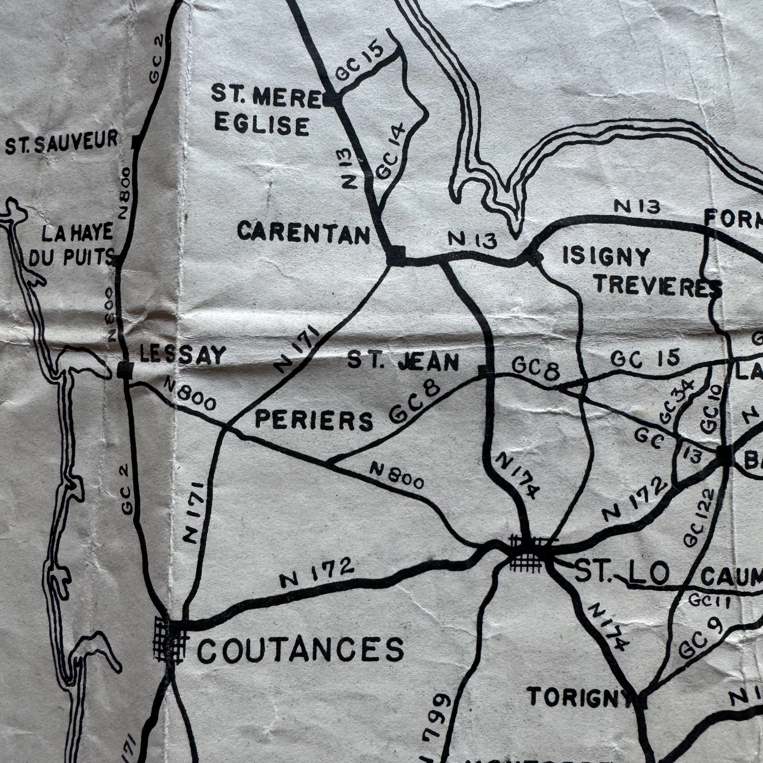
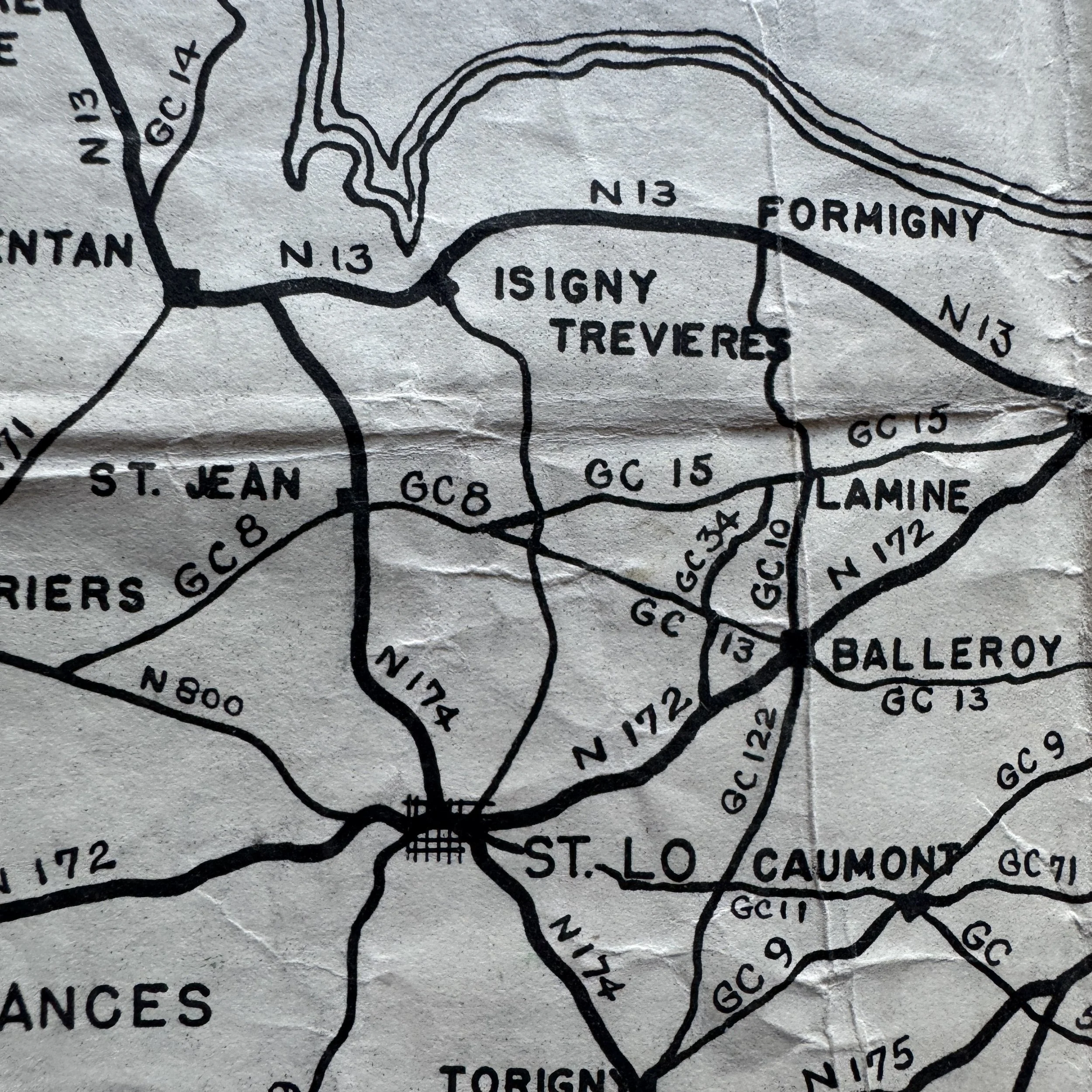
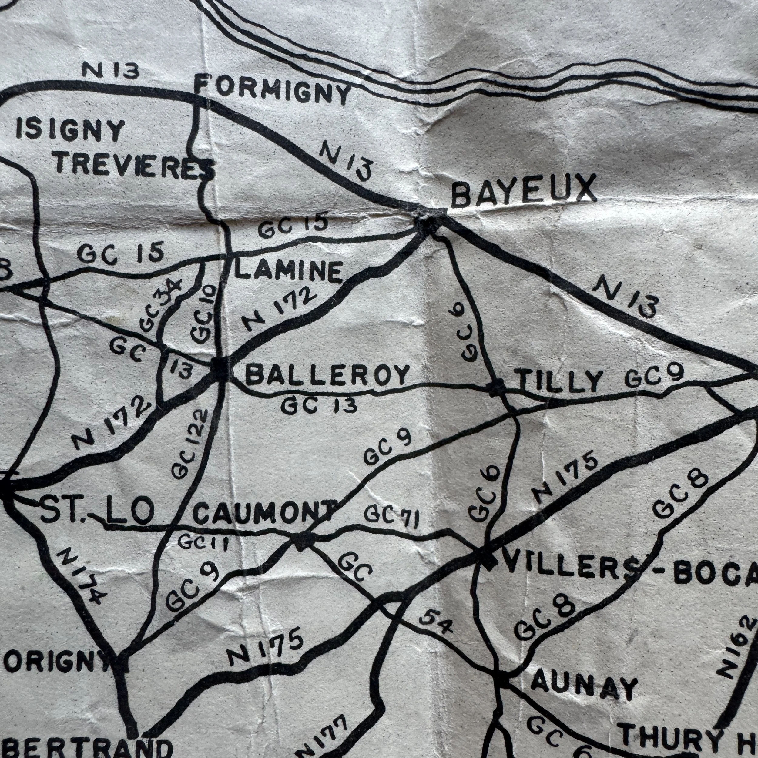
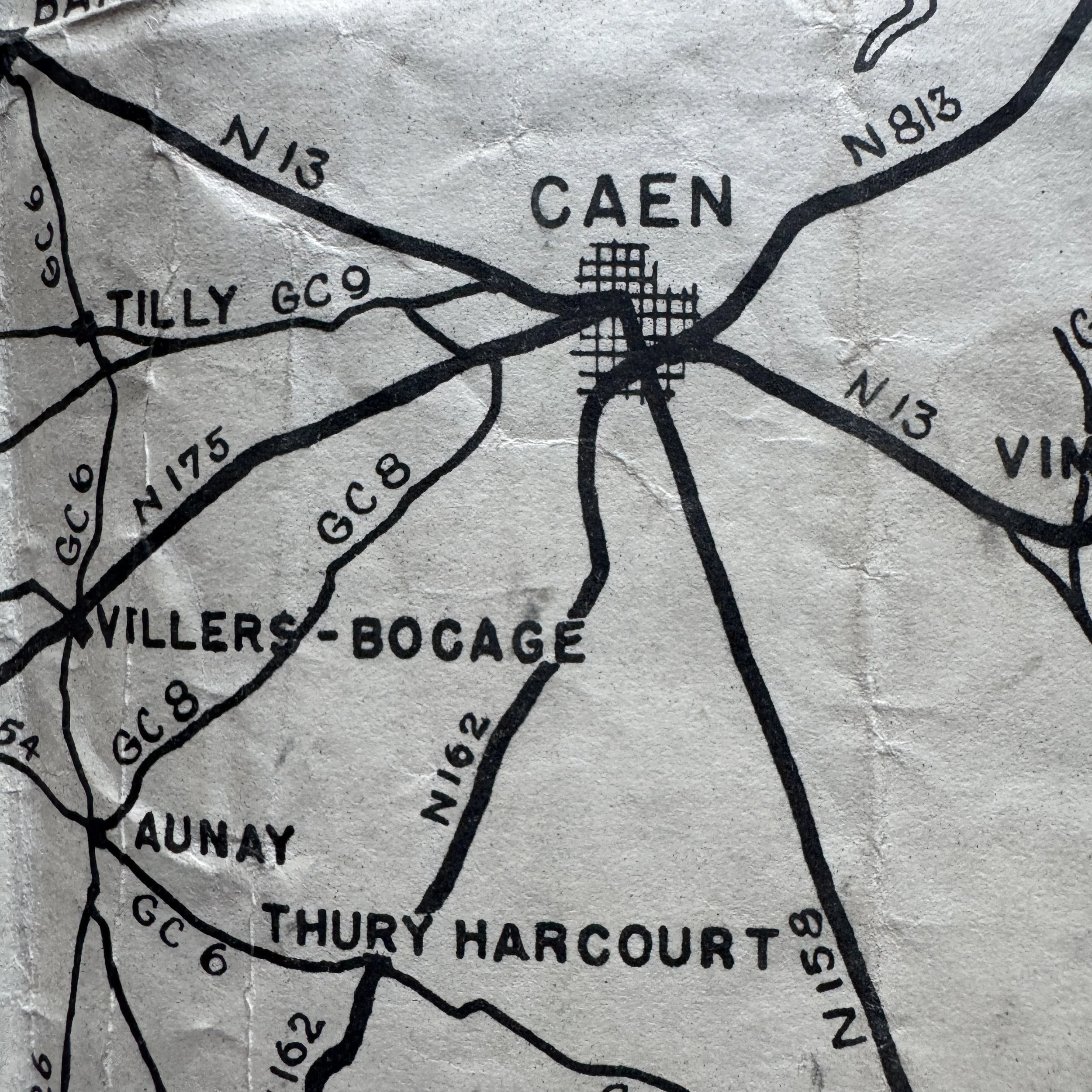
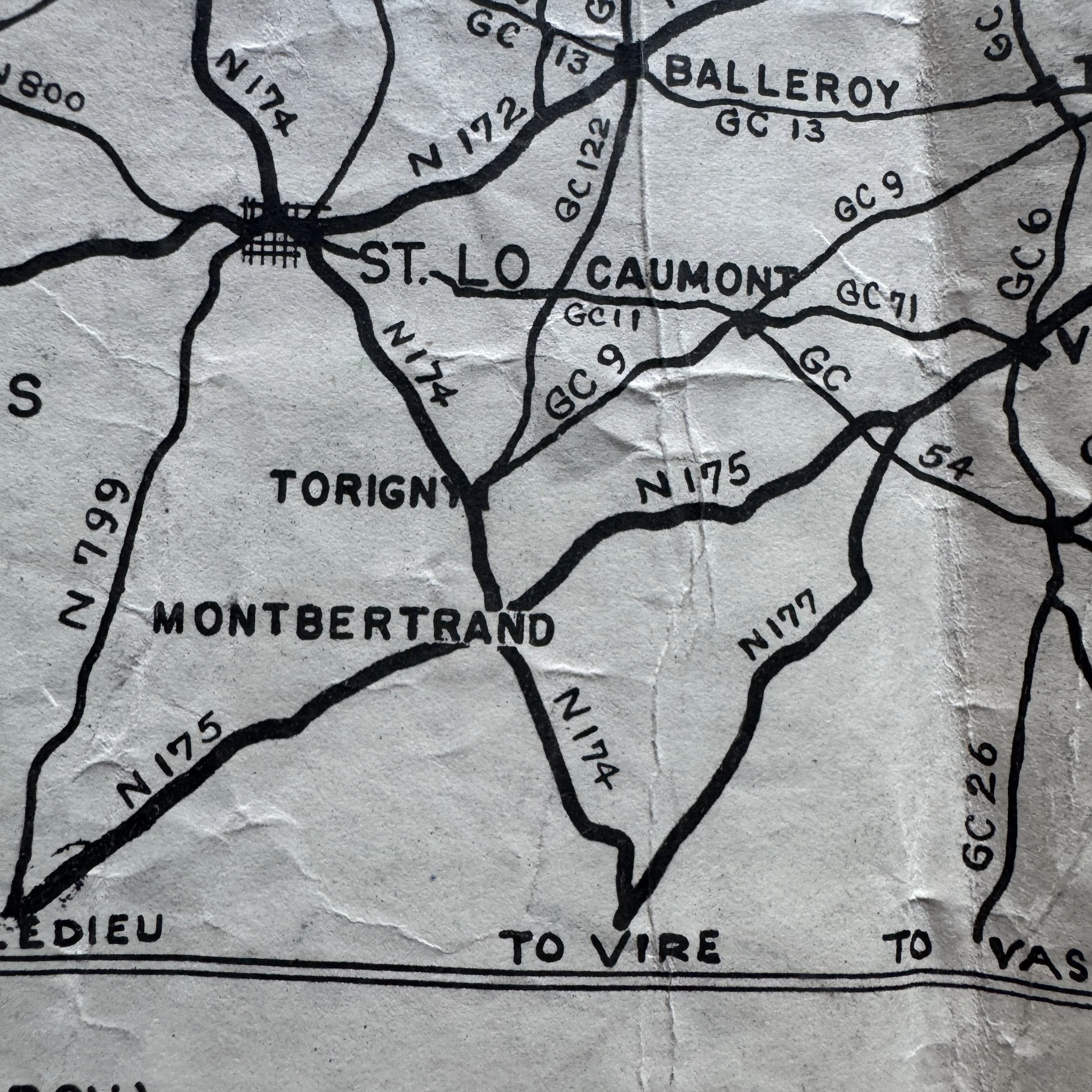
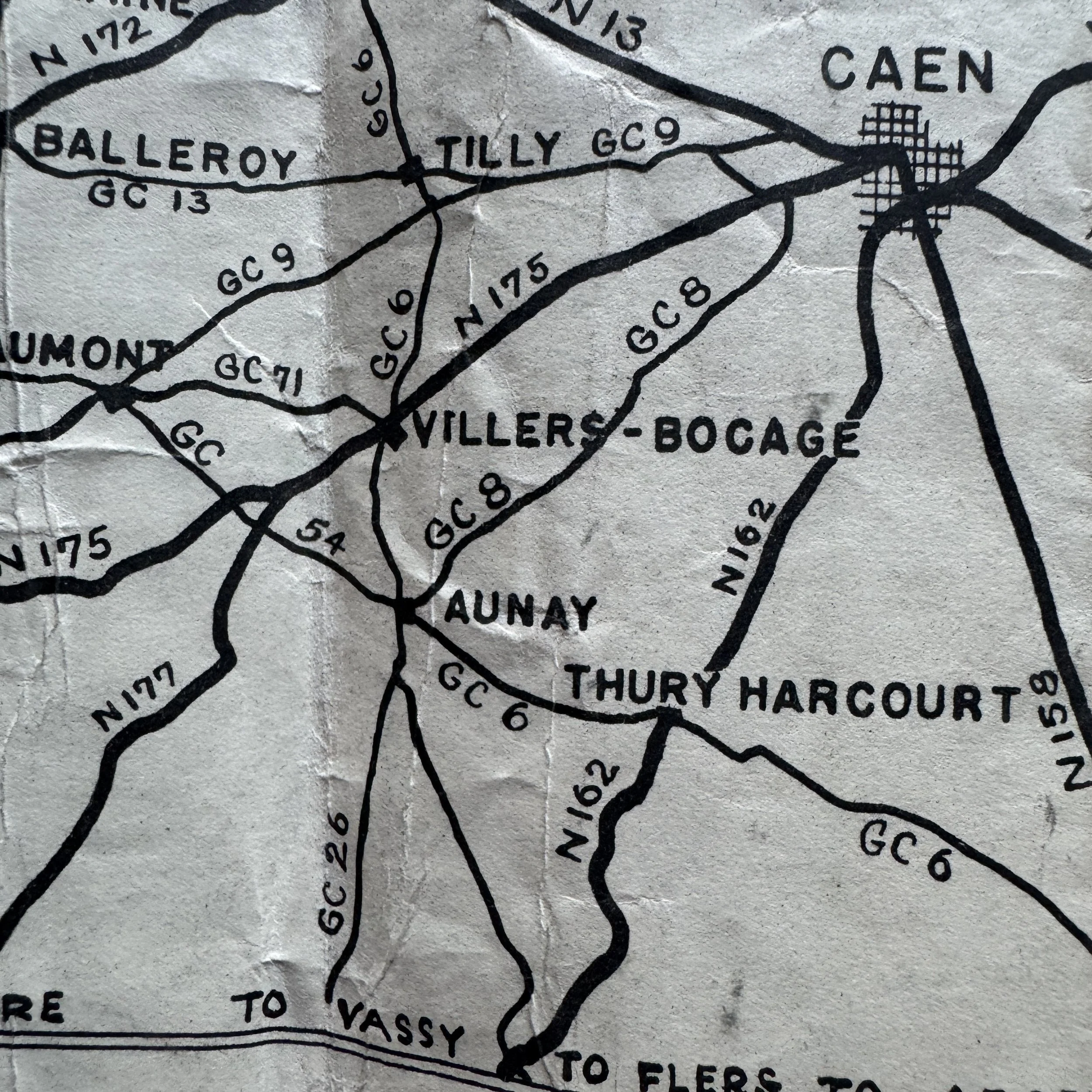
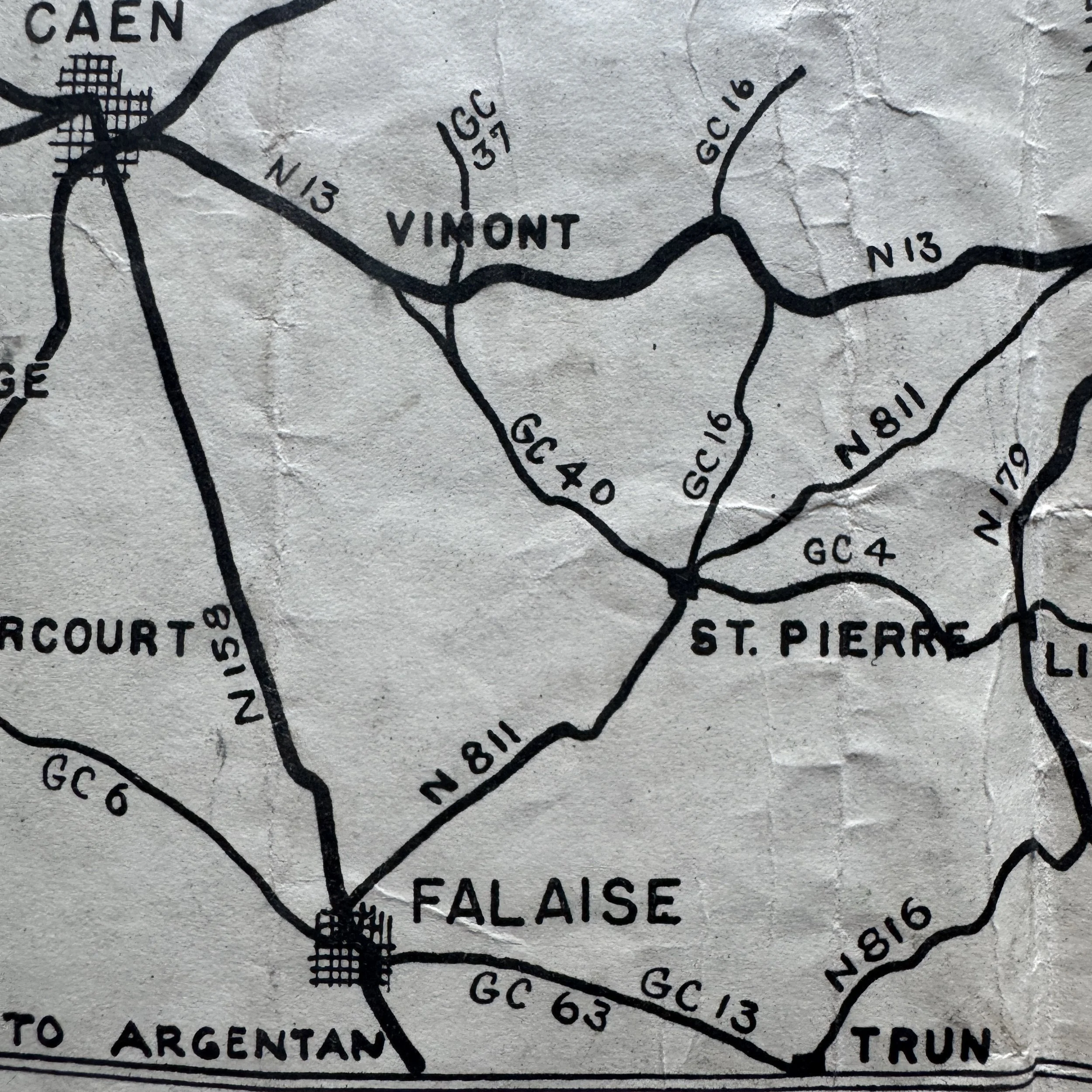
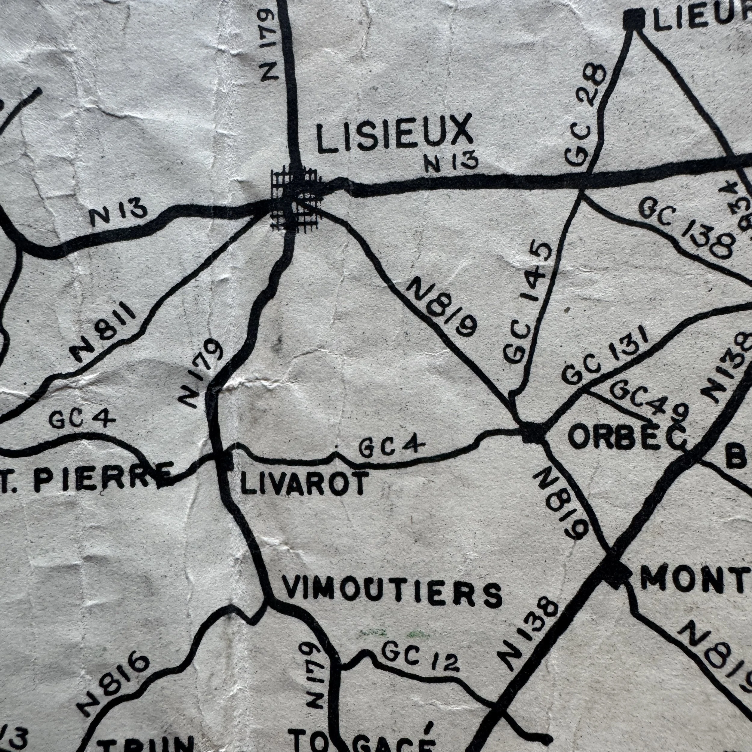
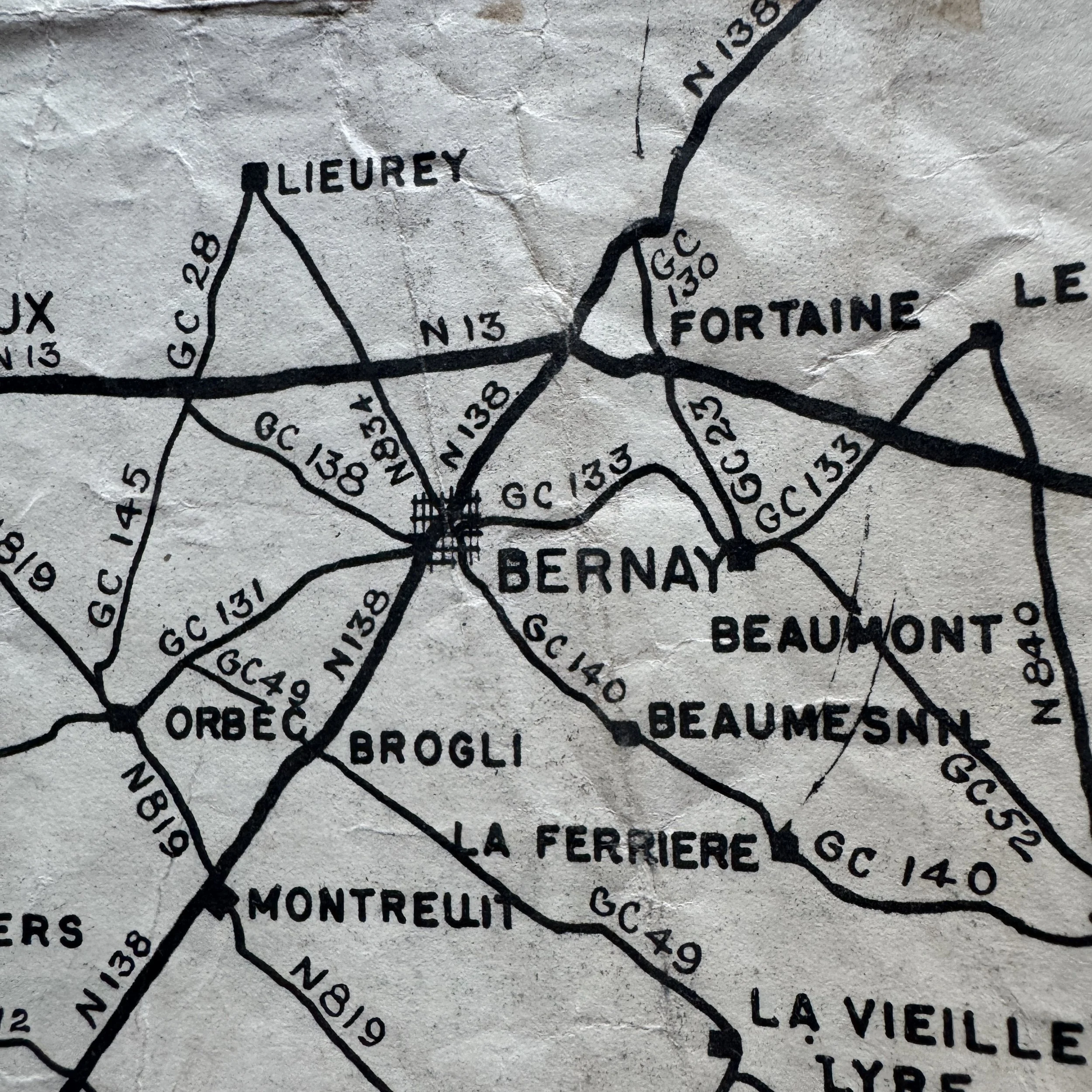
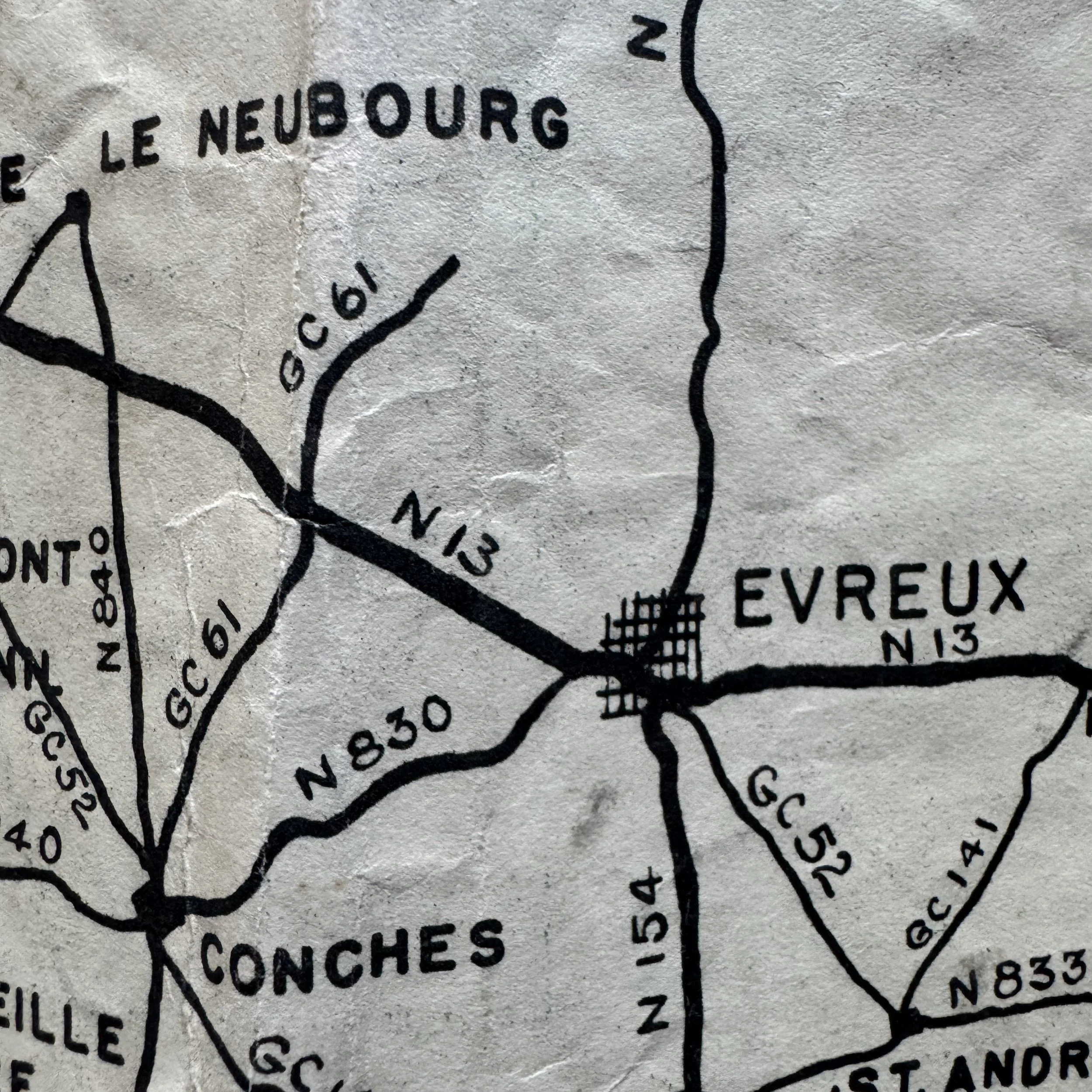
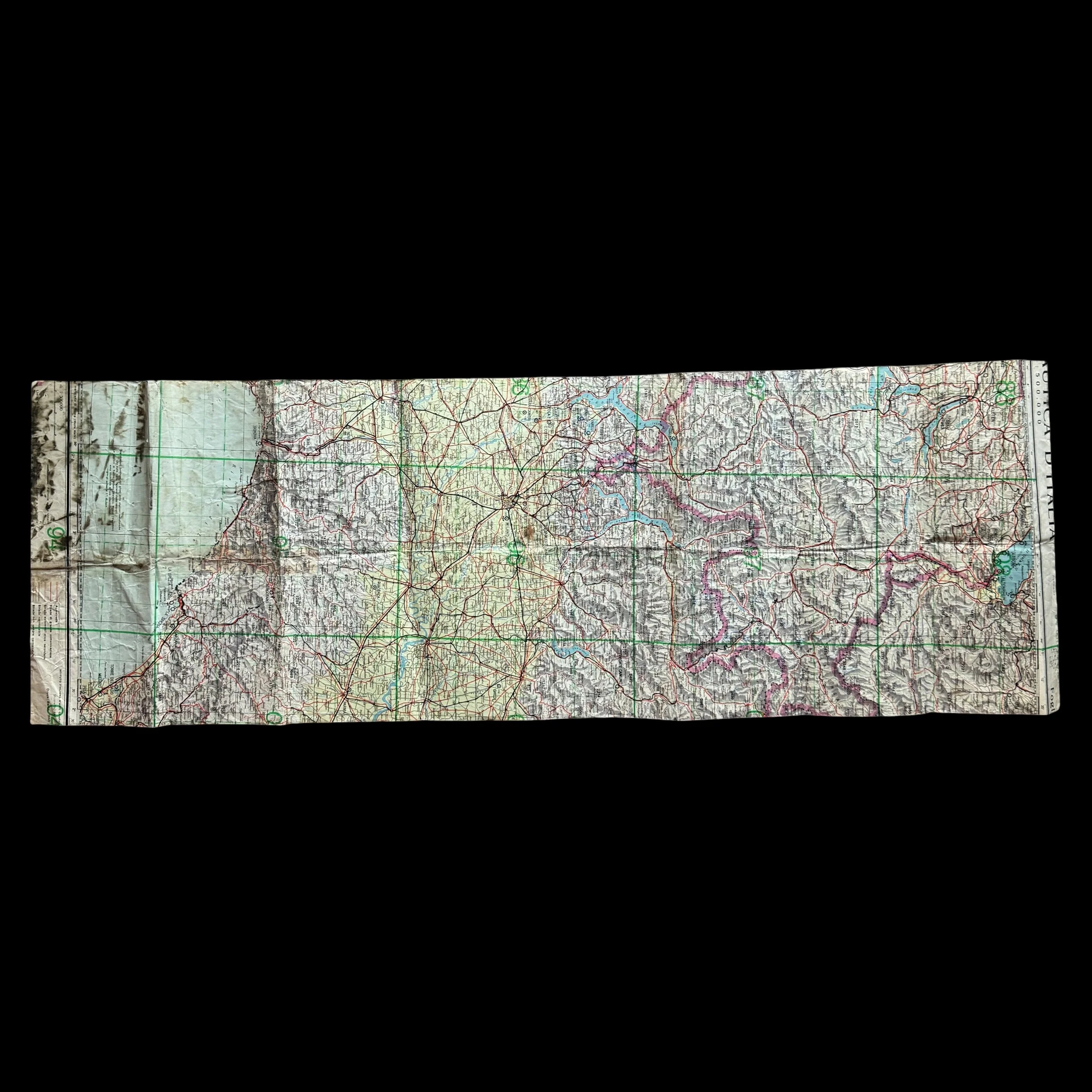
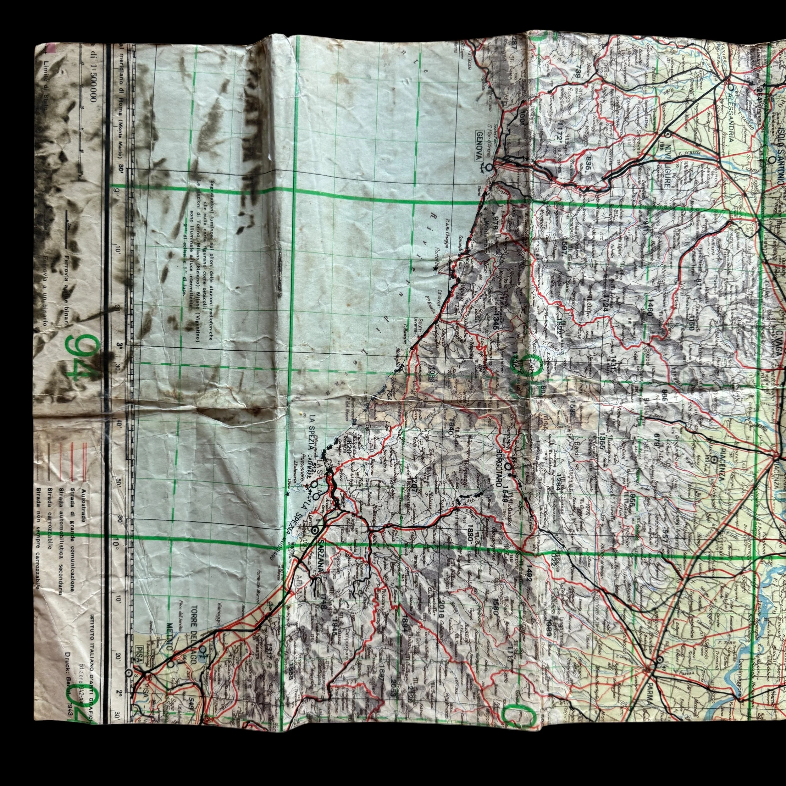
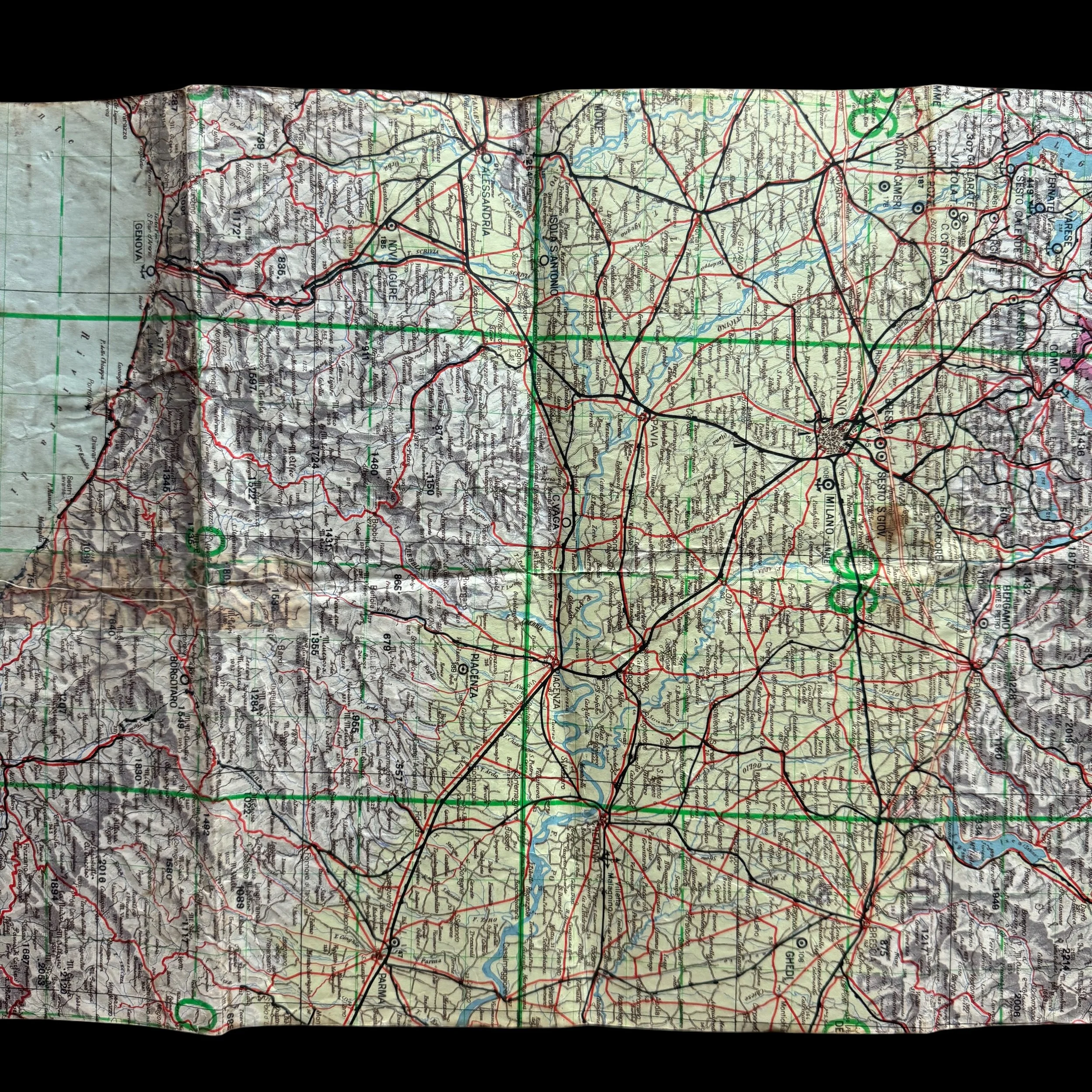
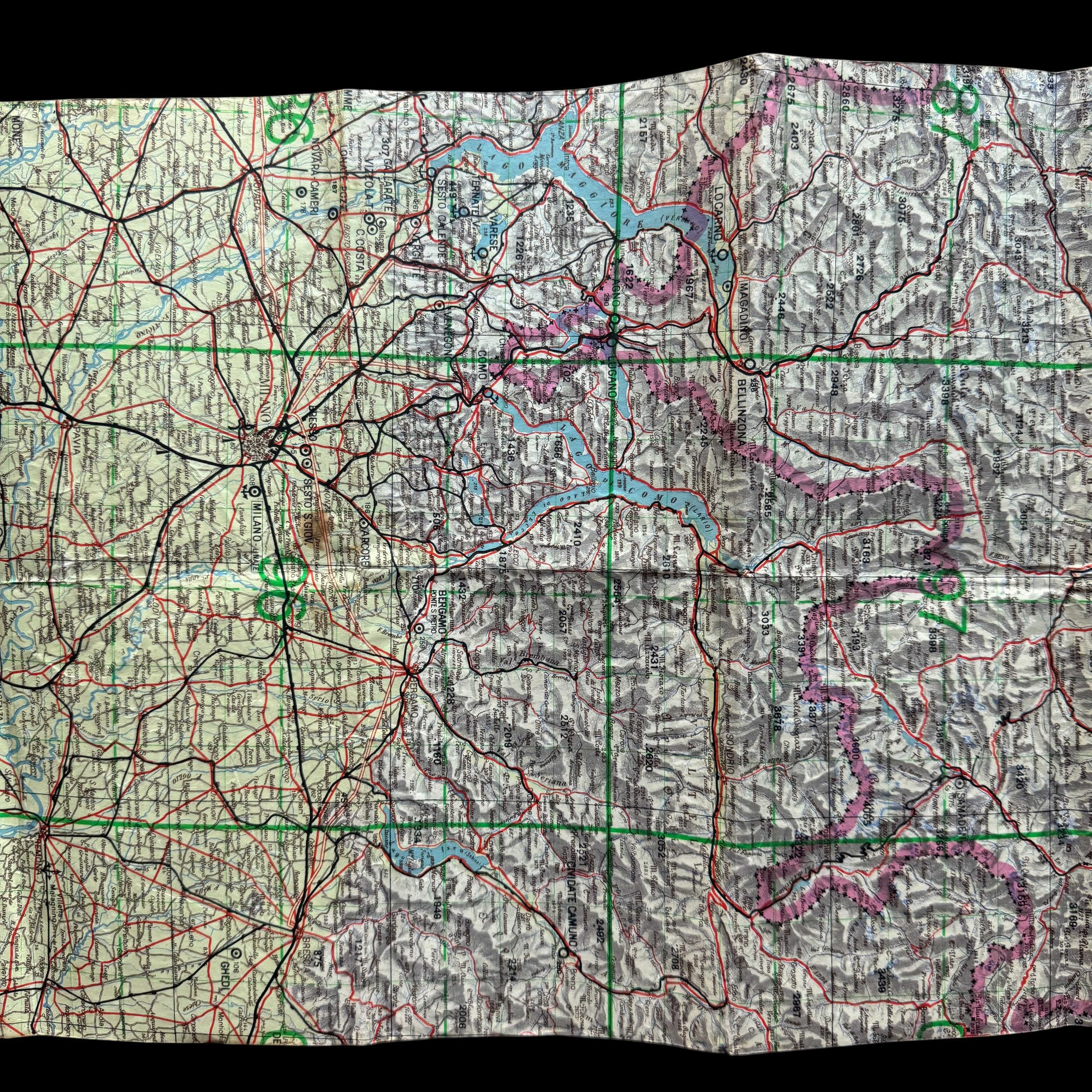
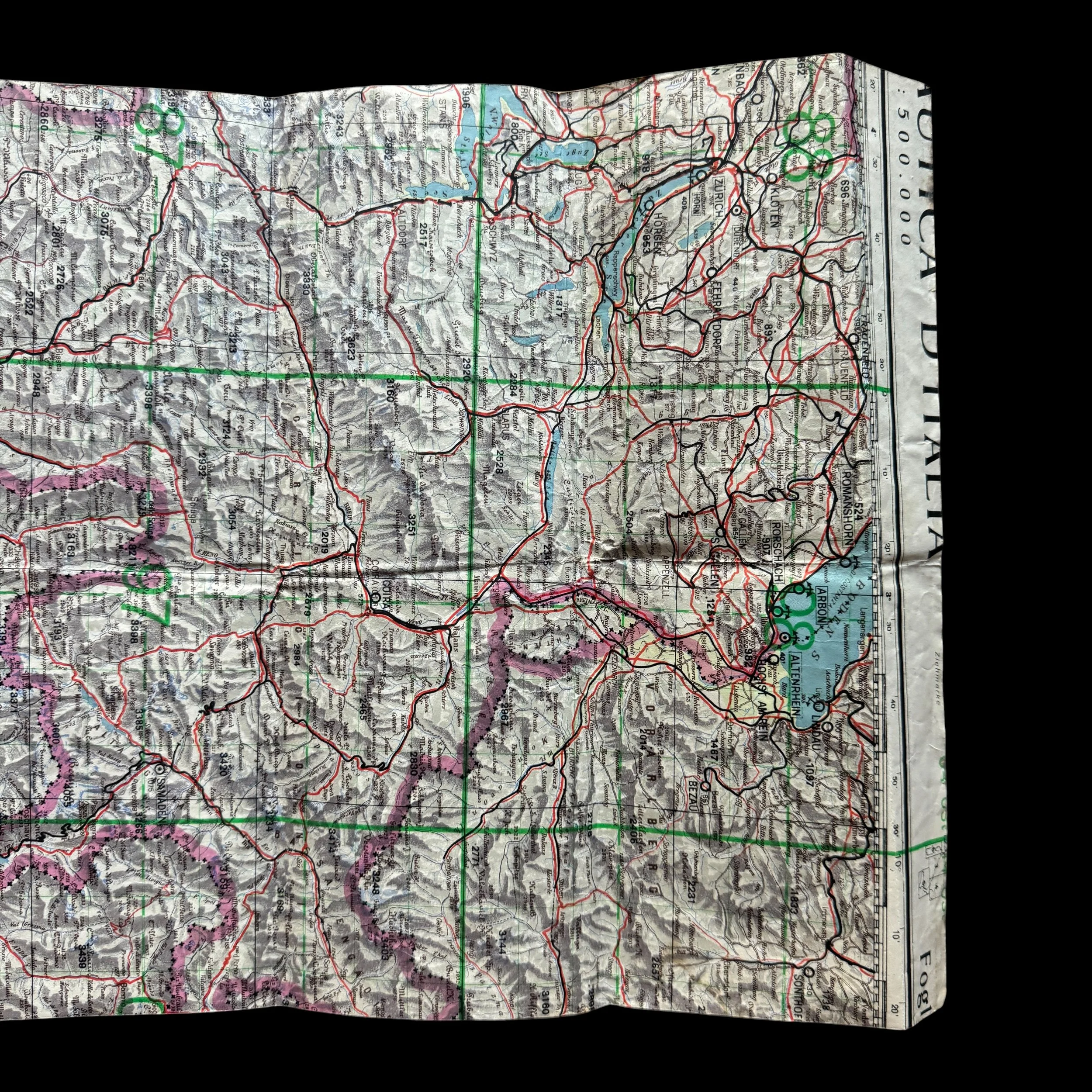
This WWII Normandy artifact is an original World War II theater-produced military map representing a crucial phase of the Allied liberation of Europe. According to the provided provenance, this piece was printed on the reverse side of a captured German combat map from the Italian Theater, a common wartime practice reflecting the severe paper shortages and the rapid, resourceful nature of forward-operating military units. The visible face of the artifact is a "STRIP ROAD MAP" designed for vehicular navigation and logistical planning. It traces the critical supply arteries from the Normandy invasion beaches to the French capital, illustrating the immense logistical effort required to sustain the Allied advance in 1944.
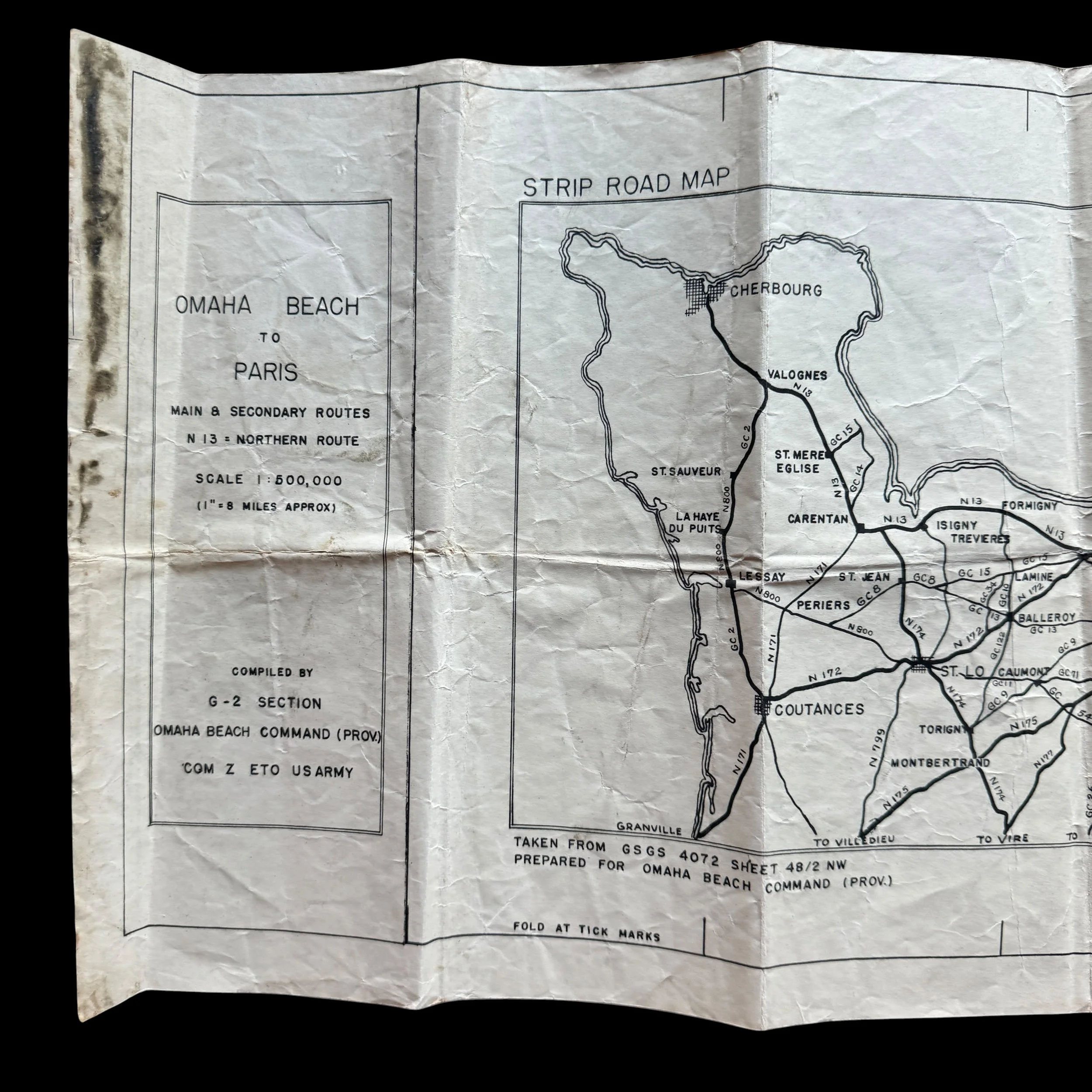
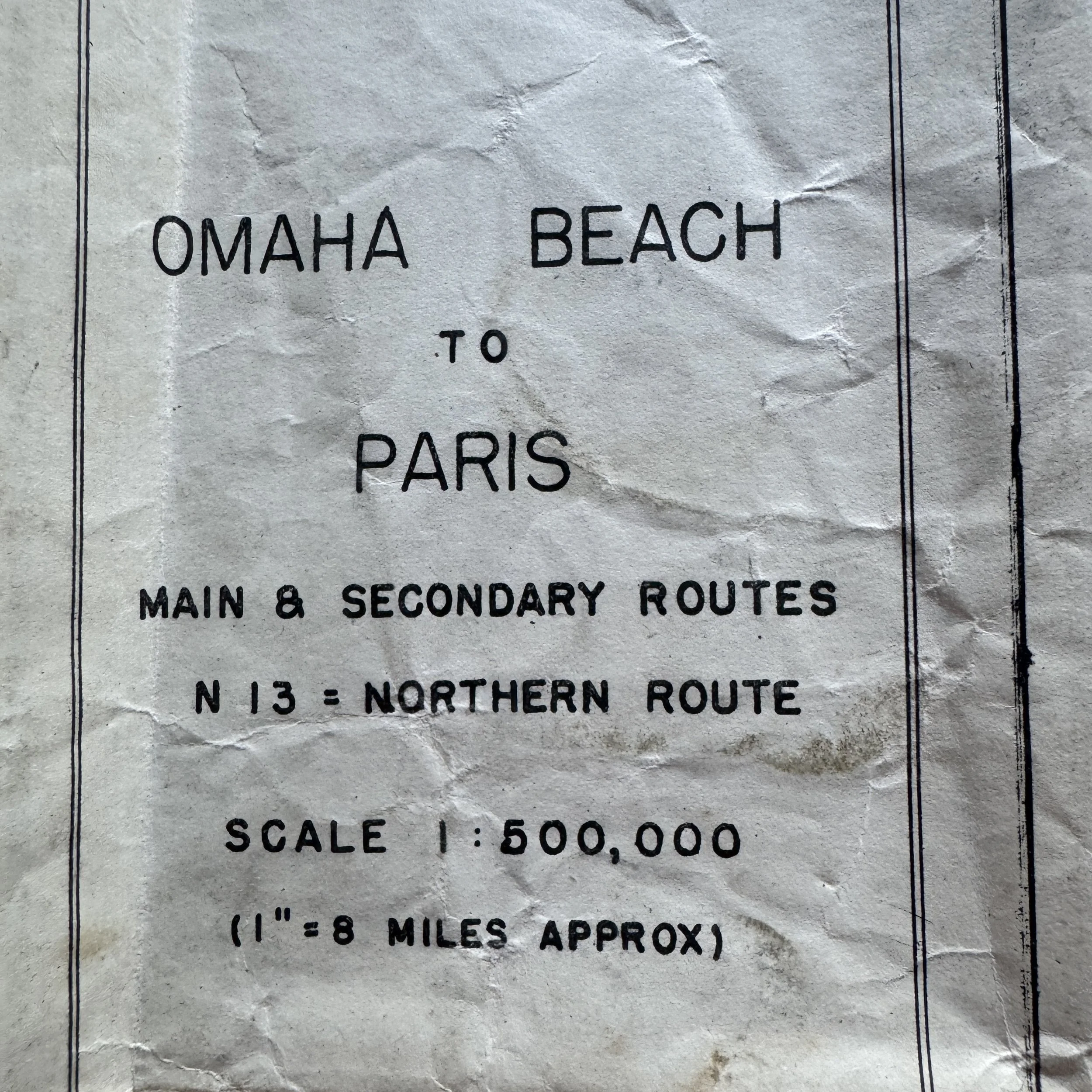
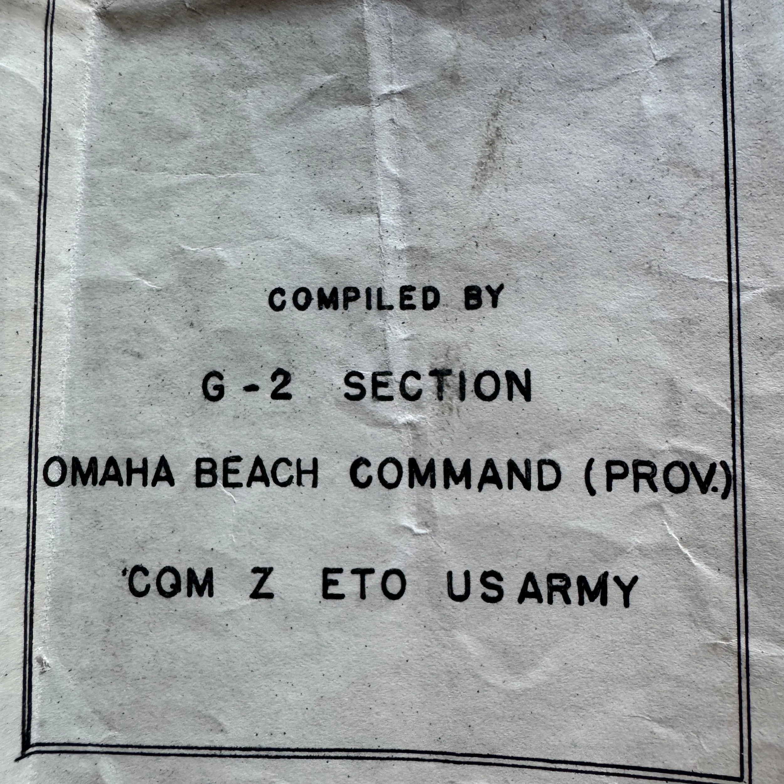
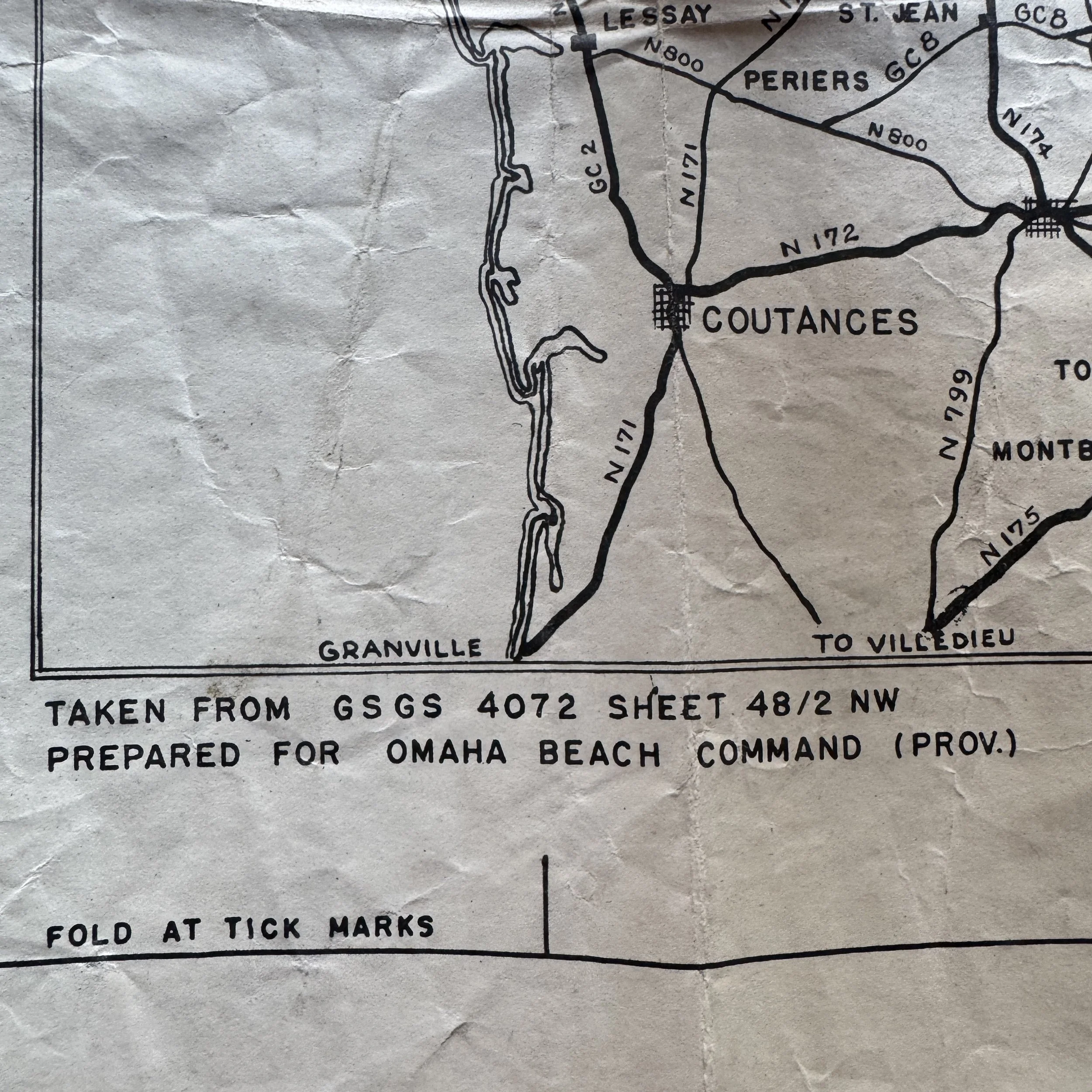
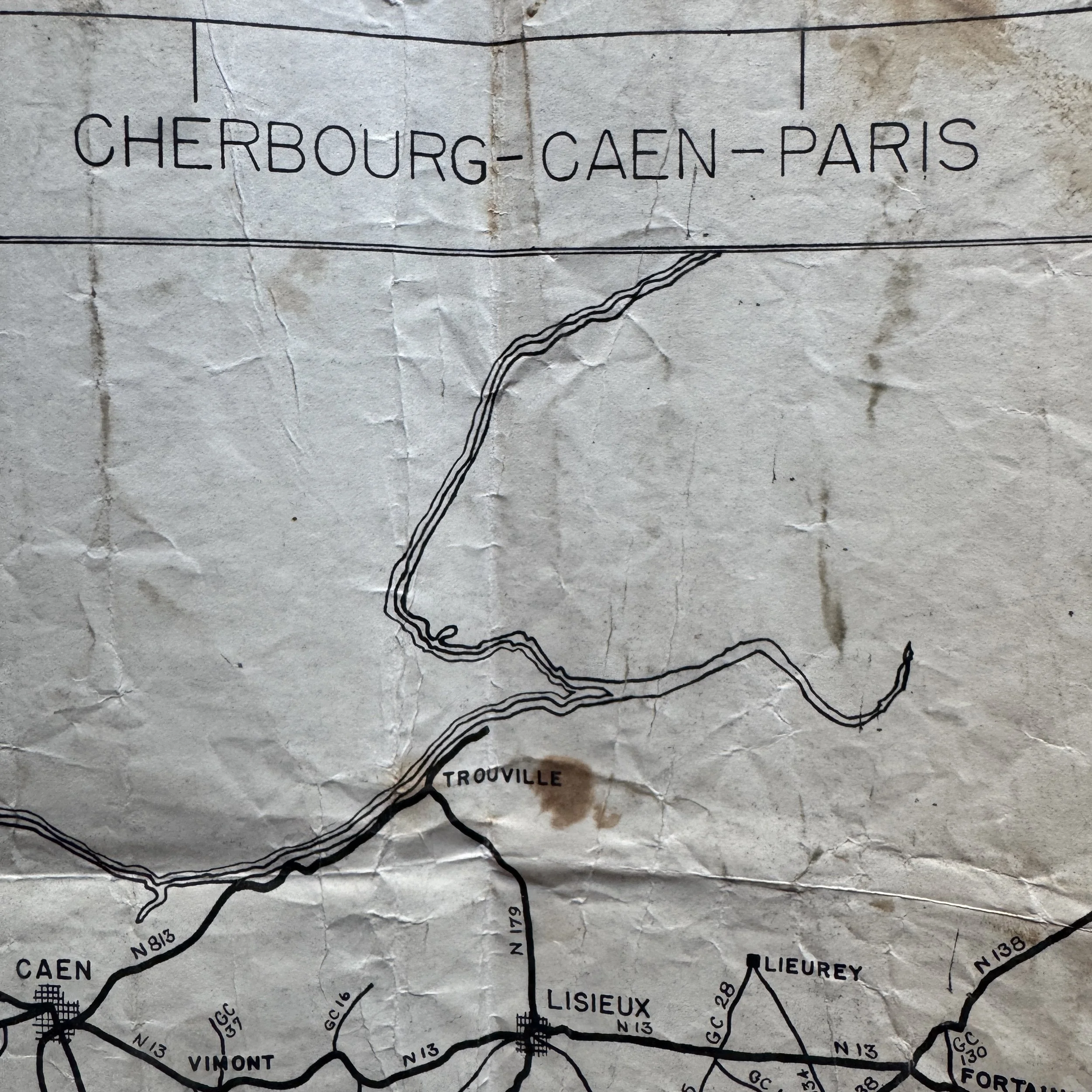
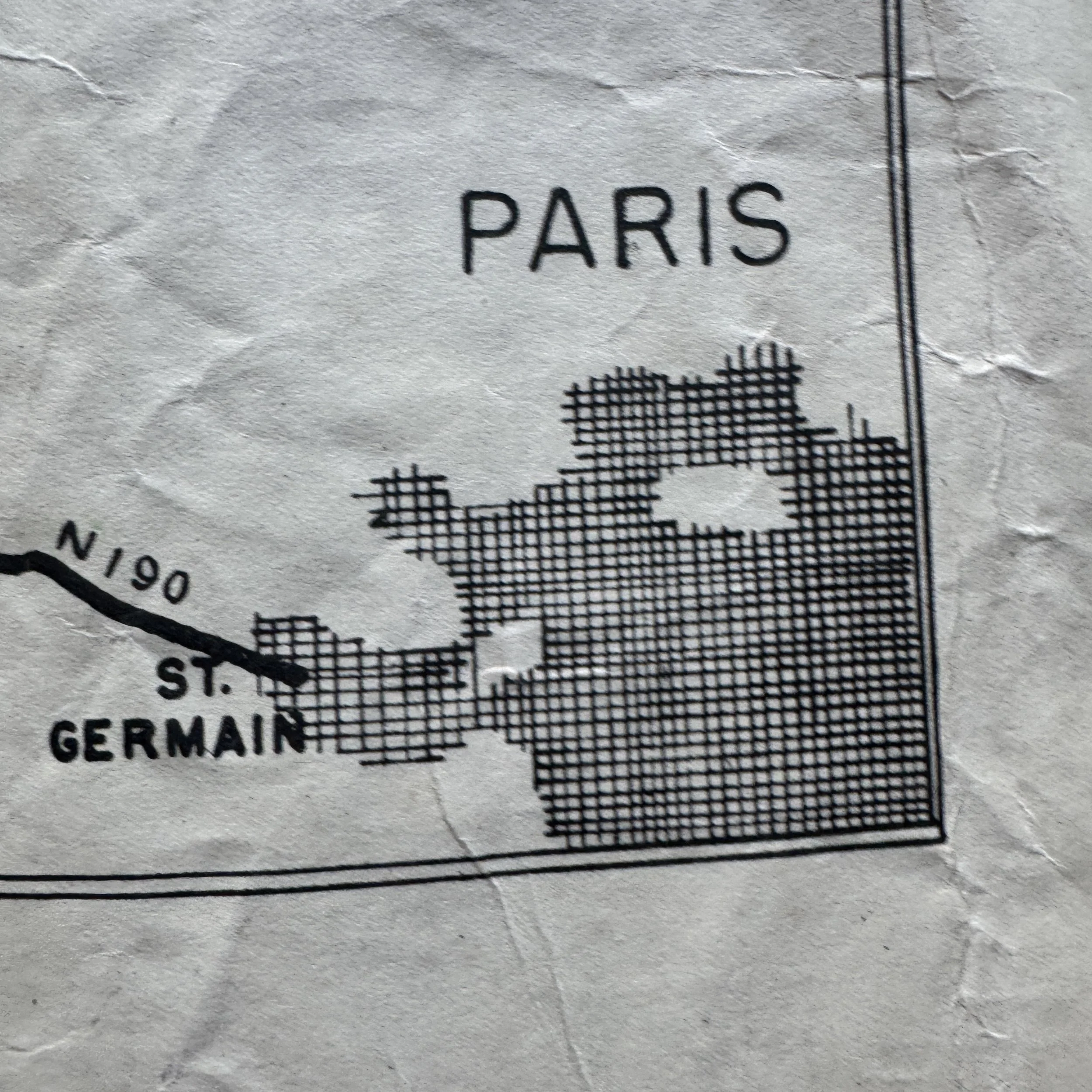
The map displays several key markings that identify its origin, purpose, and chain of command. The primary title block identifies the map's coverage as "OMAHA BEACH TO PARIS" and notes it displays "MAIN & SECONDARY ROUTES," explicitly highlighting "N 13 = NORTHERN ROUTE" as a primary thoroughfare. The map utilizes a ratio of "SCALE 1:500,000 (1" = 8 MILES APPROX)", with a printed graphic scale bar provided near the bottom right indicating distances up to 30 and 50 miles. The drafting authority is listed as "COMPILED BY G-2 SECTION" of the "OMAHA BEACH COMMAND (PROV.)," falling under the theater command hierarchy marked as "COM Z ETO US ARMY". Text in the bottom margin notes the cartographic base was "TAKEN FROM GSGS 4072 SHEET 48/2 NW". This margin also repeats that it was "PREPARED FOR OMAHA BEACH COMMAND (PROV.)" and includes practical user instructions to "FOLD AT TICK MARKS". Spanning across the top center, a secondary title reads "CHERBOURG - CAEN - PARIS". Tracing the route, key early-invasion towns such as St. Mere Eglise, Carentan, and Valognes are prominently marked along the early stages of the N13 route, eventually leading eastward to the final destination of Paris, which is represented as a large, gridded urban area.
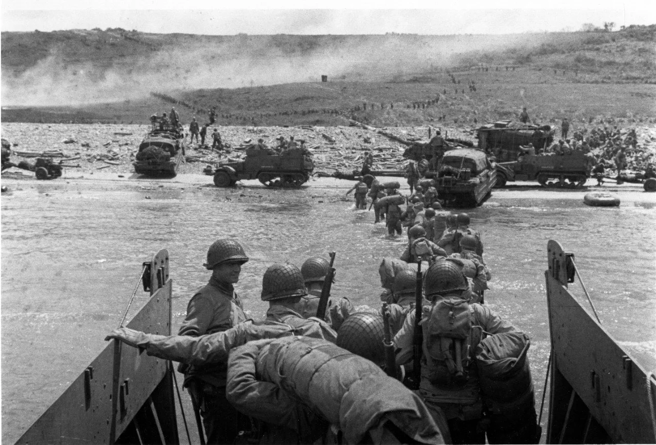
The markings on this map provide a direct window into its use. "COM Z ETO US ARMY" refers to the Communications Zone, European Theater of Operations, which was the rear-echelon support establishment responsible for supply lines, logistics, transportation, and administration. The map was compiled by the "G-2 Section" (Military Intelligence) of the "Omaha Beach Command (Prov.)." Following the D-Day landings on June 6, 1944, Omaha Beach rapidly transitioned from a combat assault zone into the primary logistical lifeline for the Allied forces. The "Provisional" command was stood up to manage the chaotic, massive influx of men, vehicles, and materiel coming over the beach and through the artificial Mulberry harbors. The base map credit, "GSGS 4072," refers to the Geographical Section, General Staff, a British War Office mapping agency whose base charts were heavily relied upon by U.S. forces throughout the European campaign. Unlike topographical combat maps that show elevation contours for infantry and artillery use, a "Strip Road Map" deliberately strips away unnecessary geographic clutter to focus entirely on road networks, intersections, and town distances, making it engineered specifically for rapid vehicular navigation.
Because this map charts the route all the way to Paris, it was likely produced and utilized between late July and August 1944. During this period, Allied forces broke out of the Normandy bocage during Operation Cobra and began a rapid, mechanized pursuit of retreating German forces toward the Seine River and Paris. As combat units advanced quickly, they stretched their supply lines to the breaking point. This map would have been used by logistics officers, transportation corps commanders, and supply convoy drivers tasked with routing essential materials—fuel, ammunition, and rations—from the stockpiles at Omaha Beach directly to the advancing front. Route N13 was a vital artery in this effort.