WWII “ENGLISH CHANNEL - LA MANCHE” D-Day Invasion Operation Neptune U.S. Navy Fathom Map


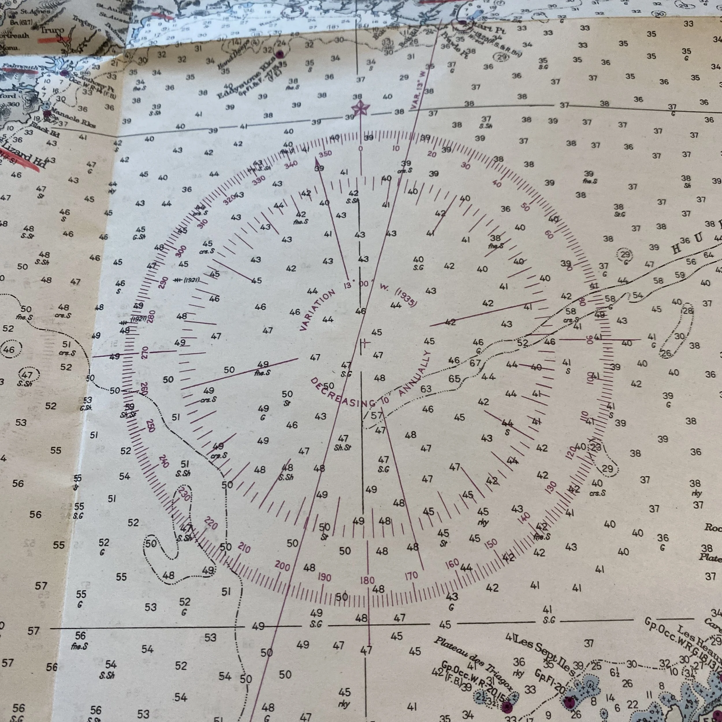


WWII “ENGLISH CHANNEL - LA MANCHE” D-Day Invasion Operation Neptune U.S. Navy Fathom Map
Comes with hand-signed C.O.A.
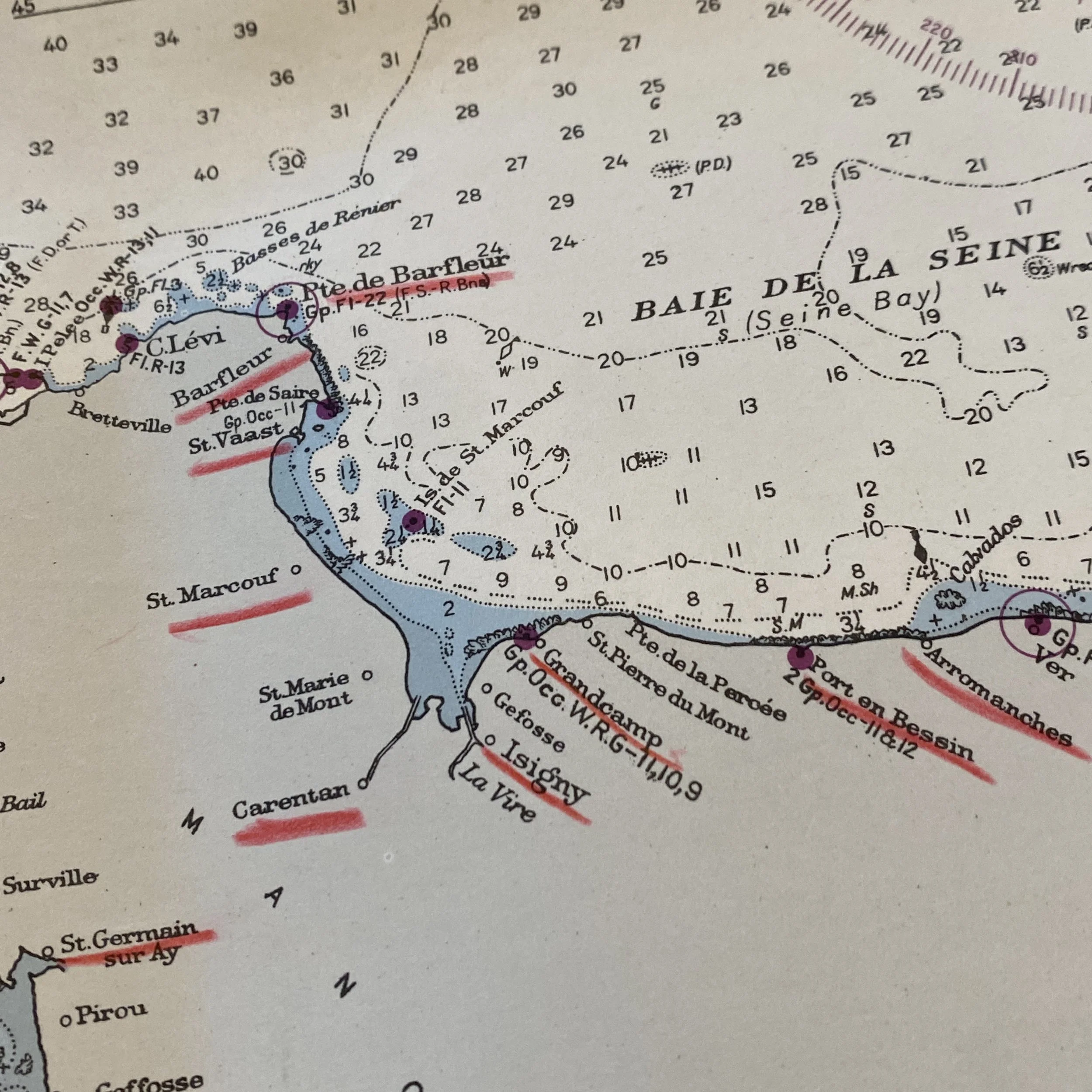
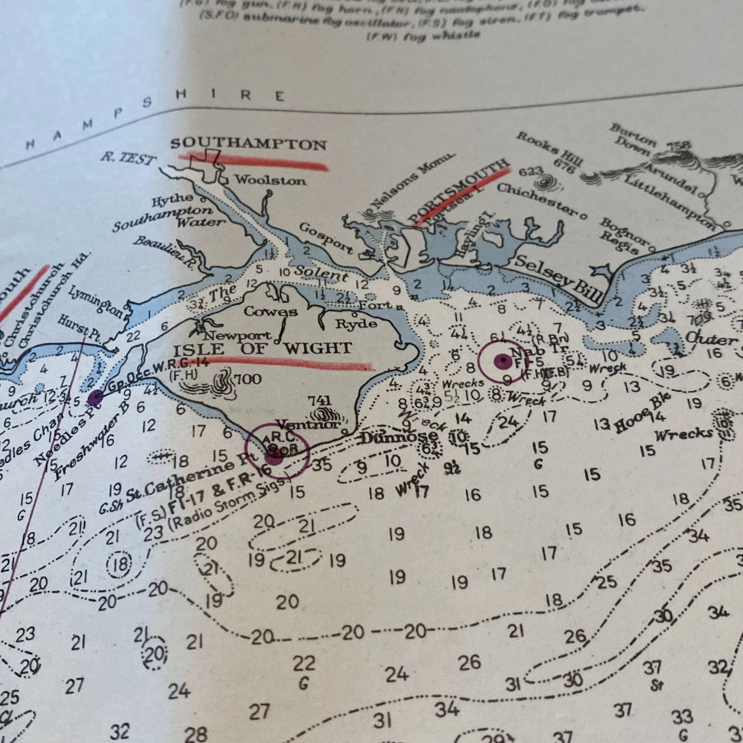
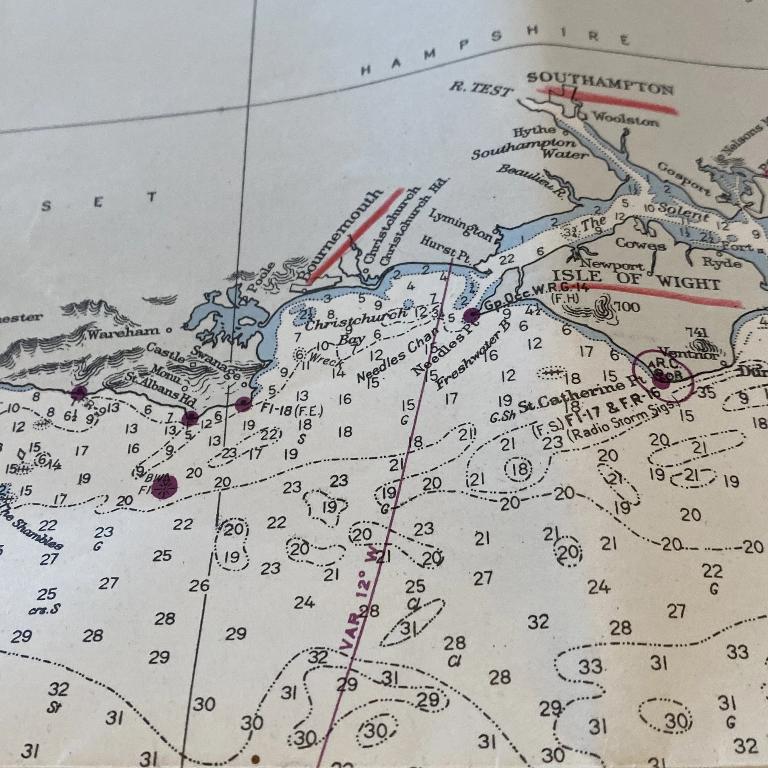
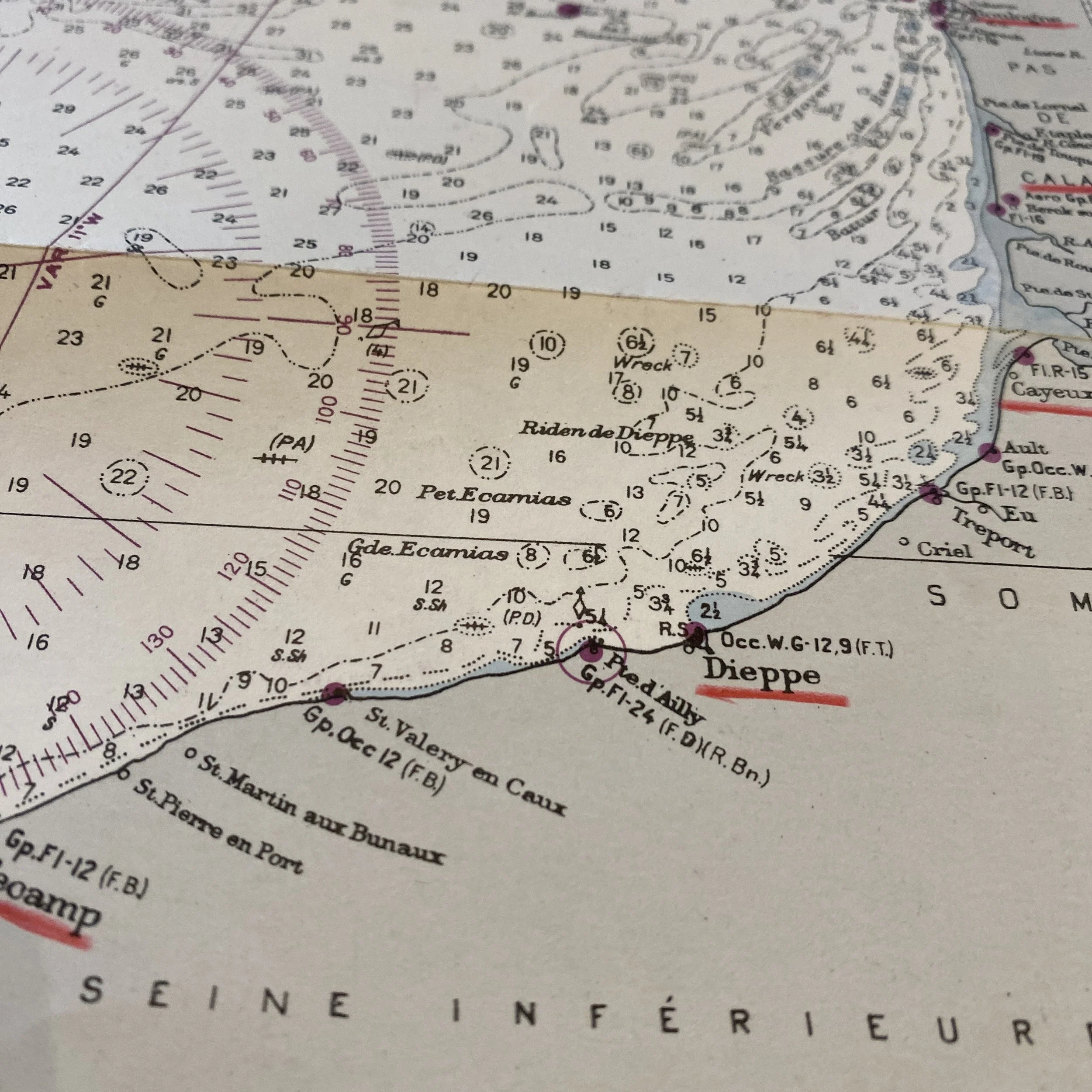
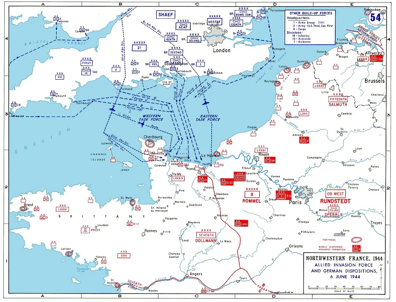
Titled “ENGLISH CHANNEL - LA MANCHE” this original, very rare, and museum-grade D-Day invasion fathom map vividly illustrates the intensive planning and operational accuracy that was behind Operation Neptune and the largest amphibious seaborne invasion in history. This extremely detailed, amphibious fathom chart was compiled from British and French surveys to 1931. This fathom chart ENGLISH CHANNEL fathom chart comes from a very large WWII D-Day BIGOT collection and was framed alongside the rare TOP SECRET D-Day BIGOT maps of Omaha Beach and Utah Beach.
This Normandy invasion map shows some of the most earliest pathways cleared in the English Channel to aid in the D-Day invasion and the fall of Normandy, France from German occupation. What makes this invasion map so incredible is that it includes all of the designated landing craft areas of Omaha Beach from Vierville sur-Mer to le-Haut Chemin including: DOG RED, DOG WHITE, DOG GREEN, & CHARLIE to all of the Utah Beach landing craft specified/designated landing areas of La Madeleine including: TARE GREEN, UNCLE RED, & VICTOR. This map also shows all of the D-Day landing beaches of Juno, Sword, and Gold landed on by the British and Canadian forces. Many thousands of lives depended upon the success of the operation – millions in fact, it was thus vital that this map contained as much information possible of this Normandy coastal section to insure the most military success for the Allied Powers.