Captured German Combat Map of 'Chaumont 83D' France Sector
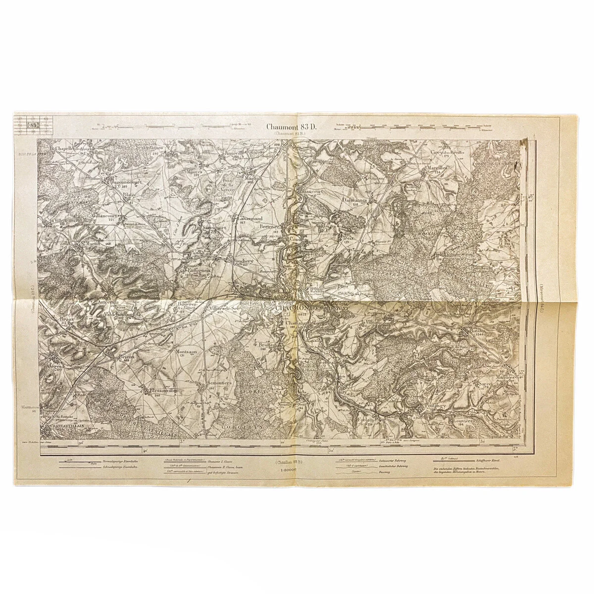


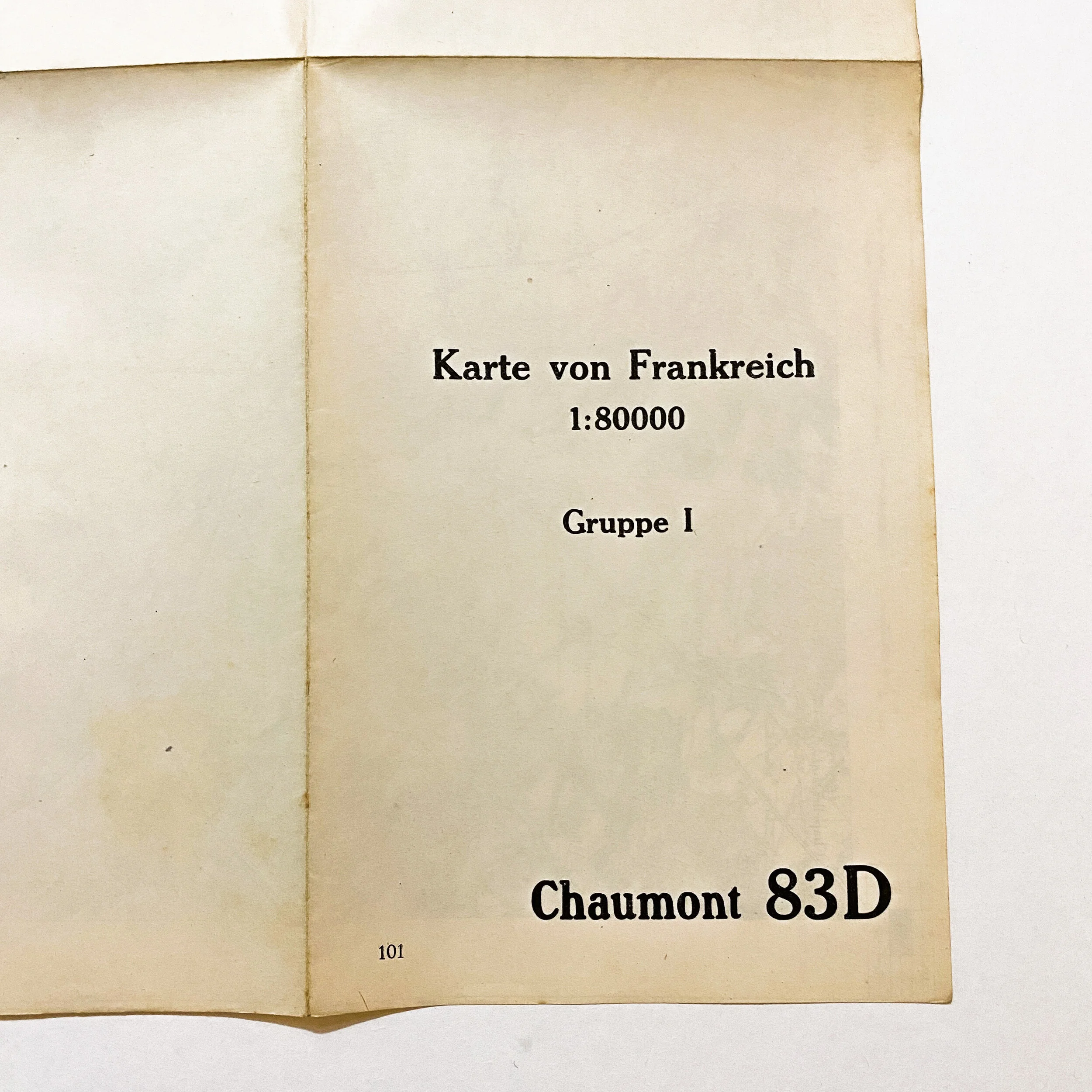
Captured German Combat Map of 'Chaumont 83D' France Sector
Size:
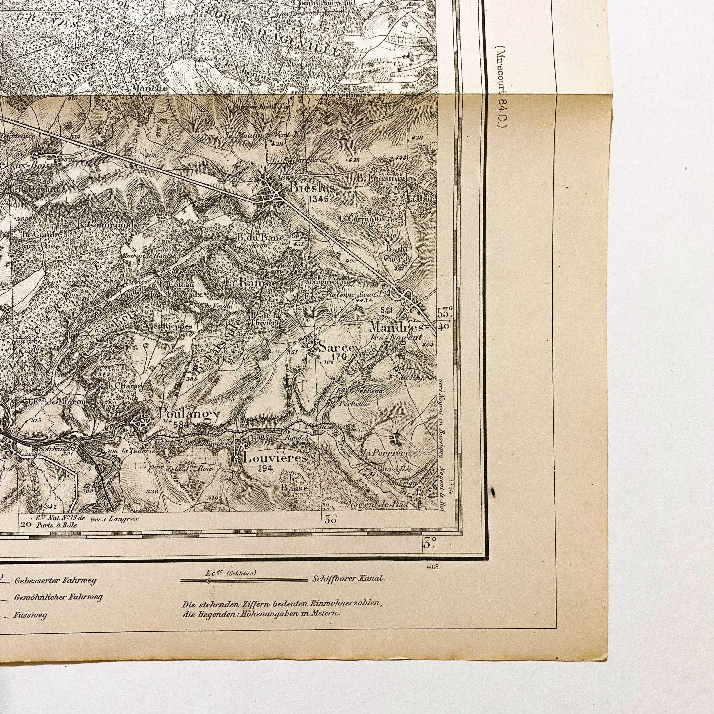
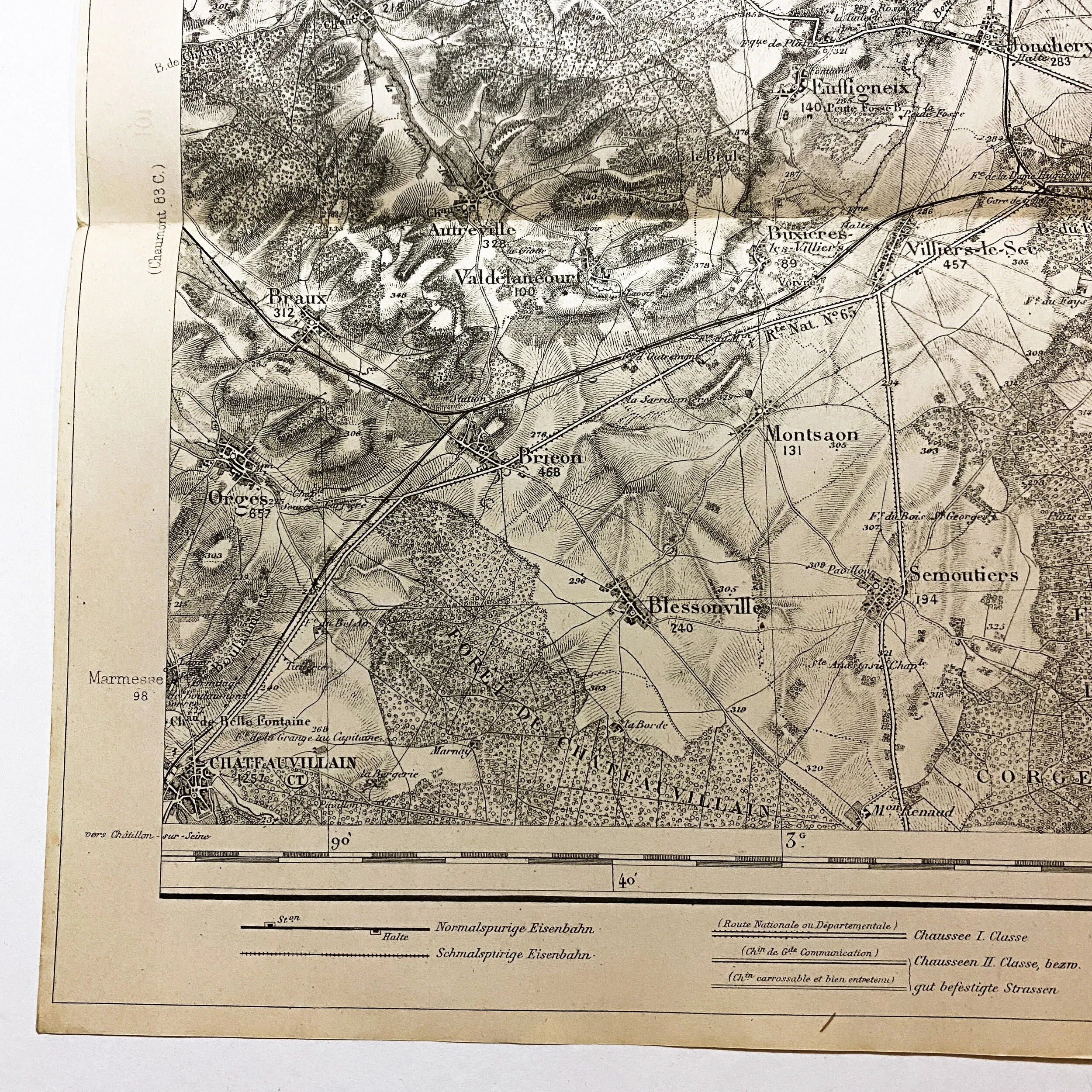
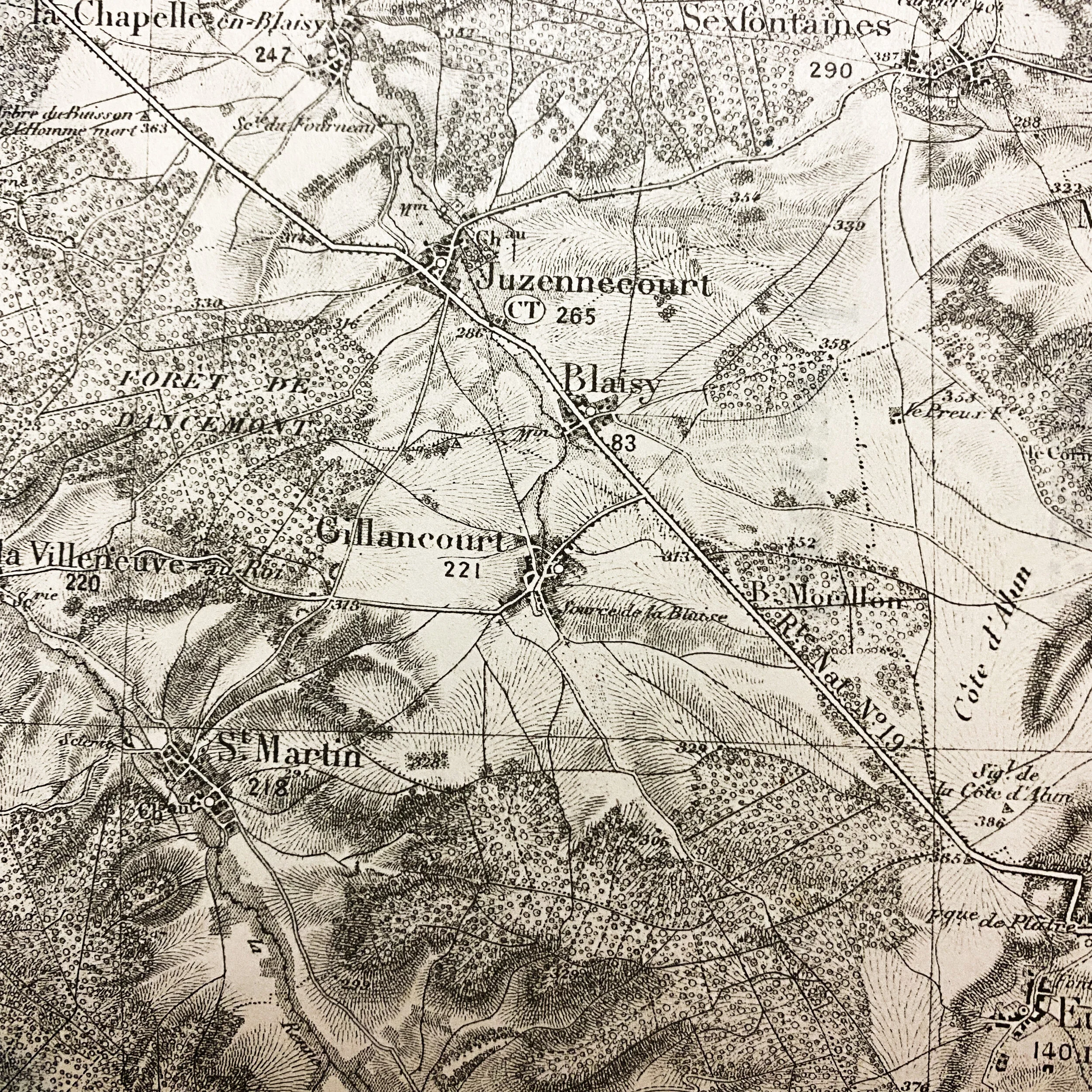
This original WWI German combat map of the ‘Chaumont’ France sector is dated 1916. This map is one of 45 taken off of a German major on the battlefield of ‘Rupt en Weurve’ in the St. Mihiel Sector on September 13th, 1917 by Lieut. Harry G. Sheldon of the A.E.F. forces. These maps are broken into sets of 4 being label A,B,C and D of each given sector and district. Putting these section together forms a large map. They are all common scale and can be placed side by side to fit. This map is labeled ‘Chaumont 83C’ and is 1 of 4 maps for this given sector.
What makes this map so rare is the role that the city and sector Chaumont played in the Allied and A.E.F. operations during WWI. On September 1. 1917 the headquarters of the American Expeditionary Forces moved to Chaumont, France. Chaumont now became the new station area and General headquarters of the American Expeditionary Forces in Europe during the World War. Occupying the building of the Caserne Damremont from September 1, 1917 to July 11, 1919 and from here General John J. Pershing directed the activities of more than two million American soldiers.