Extremely Large Pacific Theater ‘RESTRICTED’ 1944 U.S. Army Air Forces - Special Air Navigation Chart


Extremely Large Pacific Theater ‘RESTRICTED’ 1944 U.S. Army Air Forces - Special Air Navigation Chart
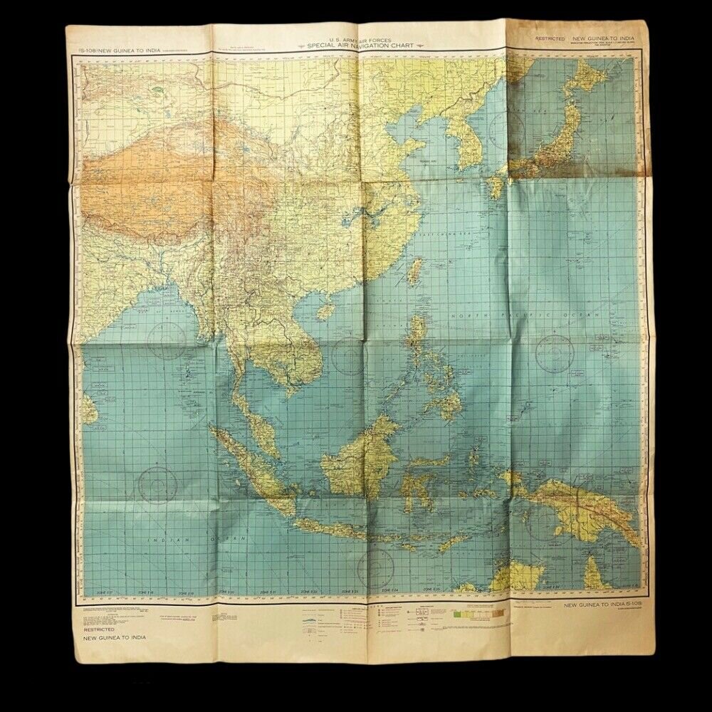
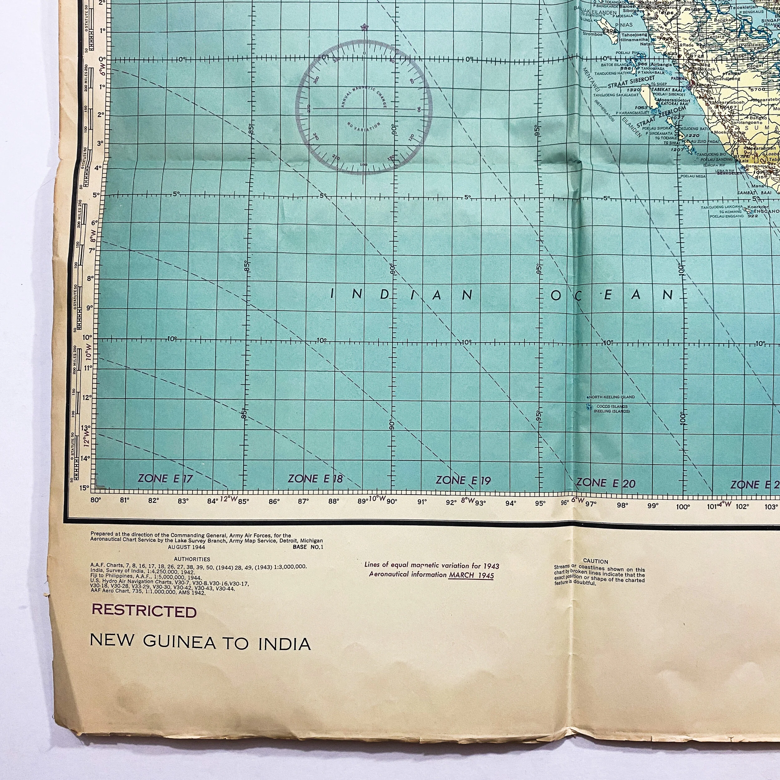
Size: 49 x 45 inches
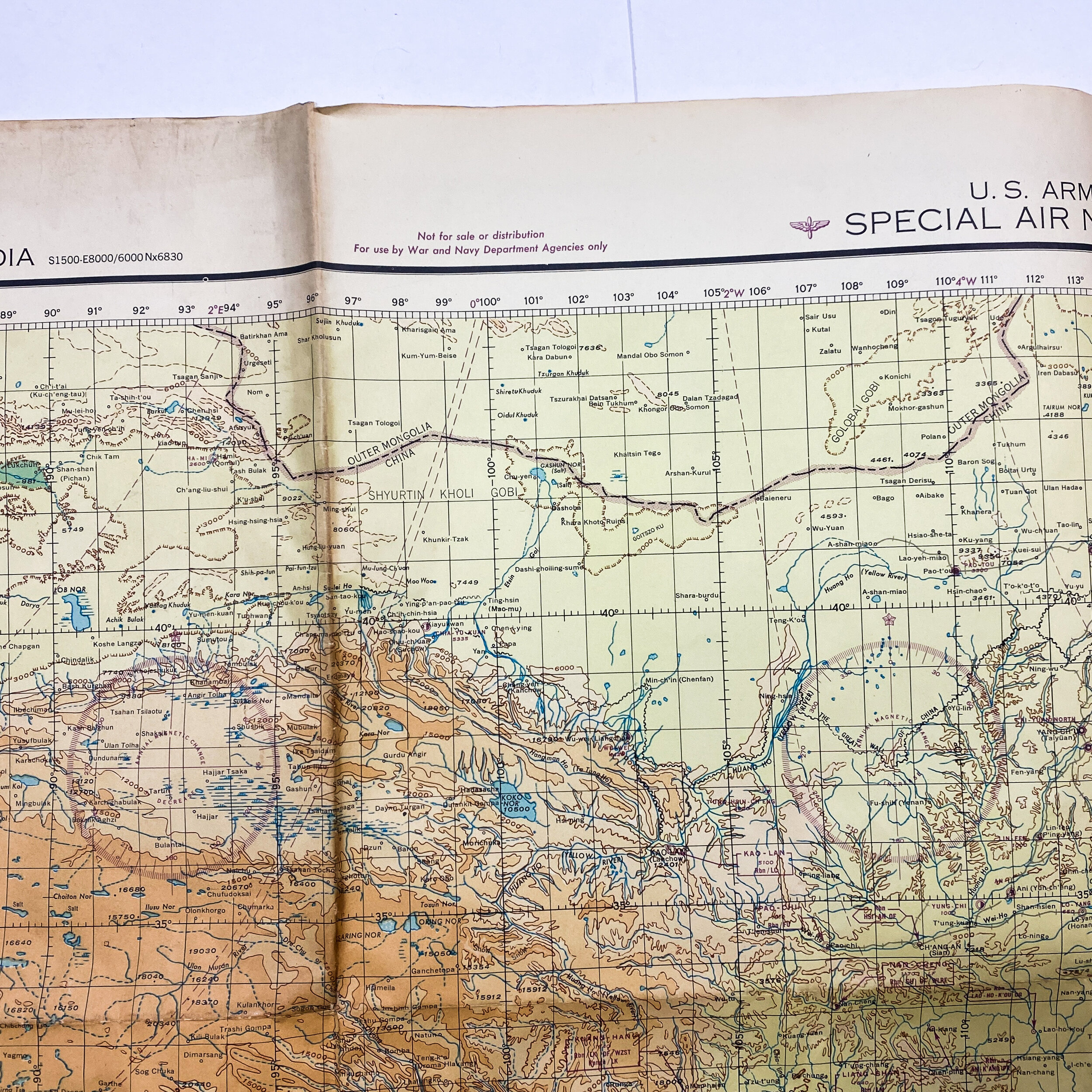
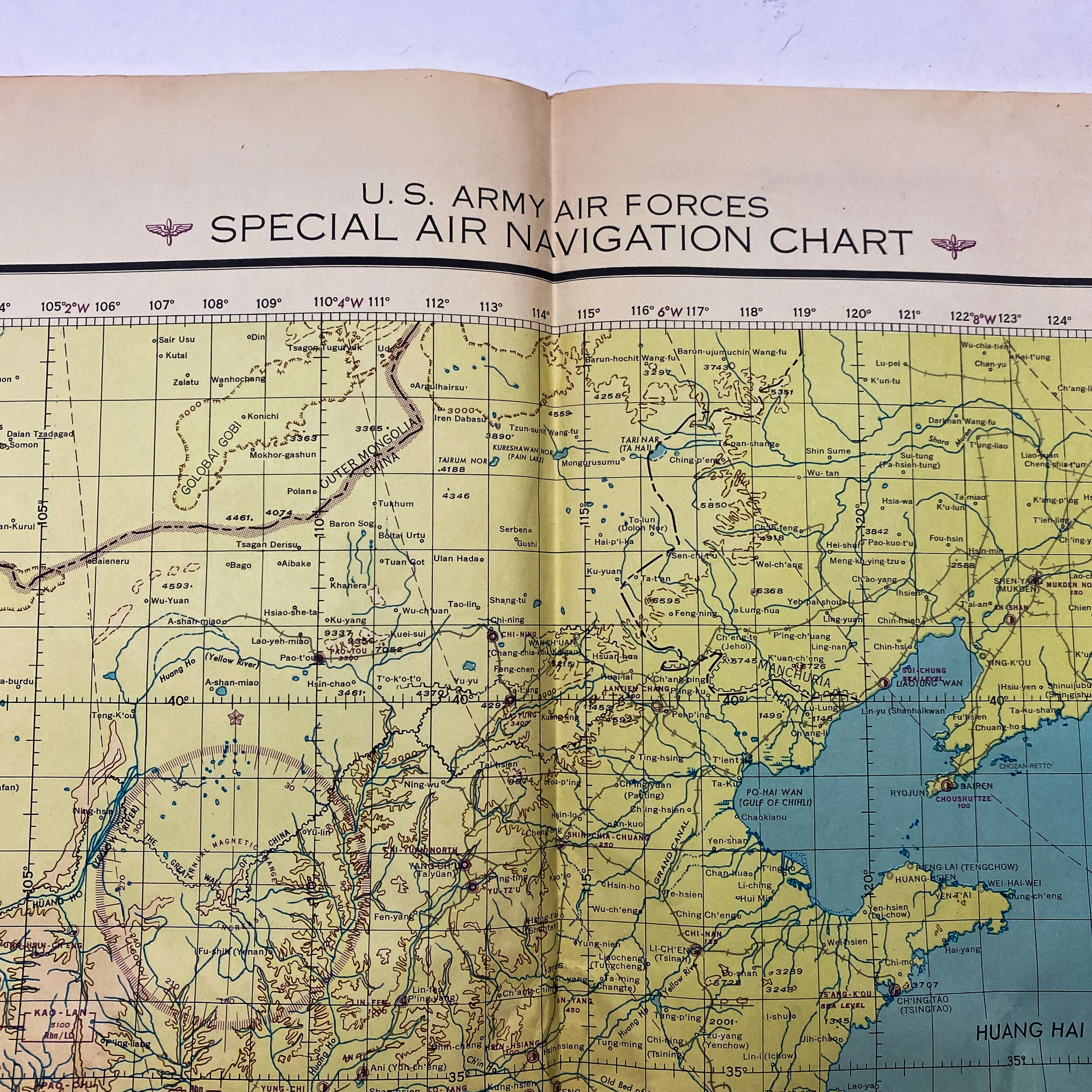
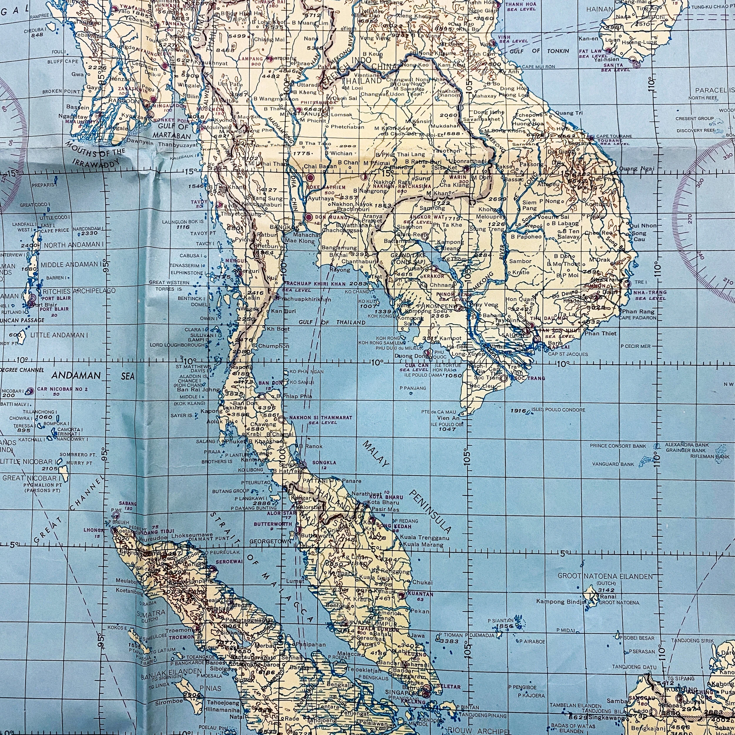
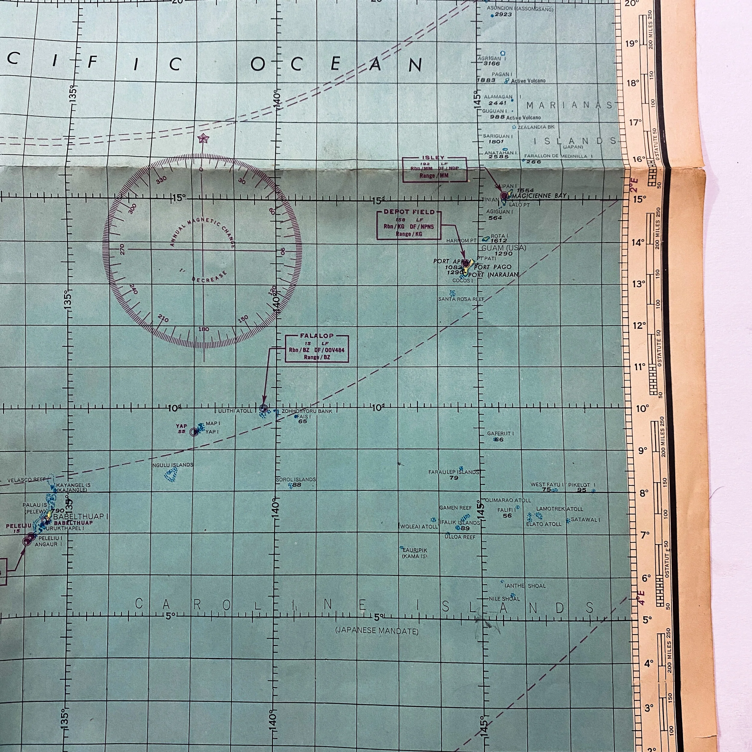
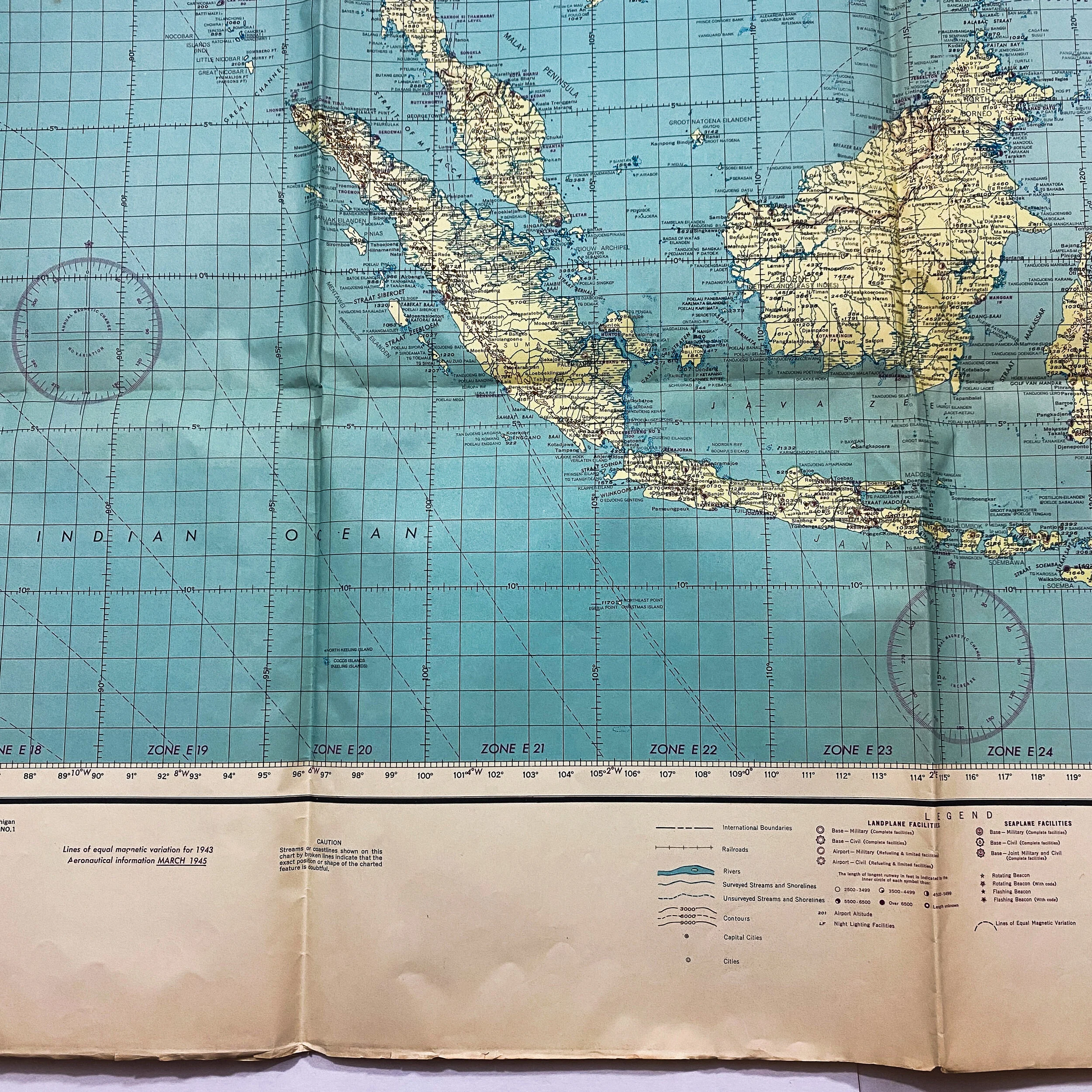
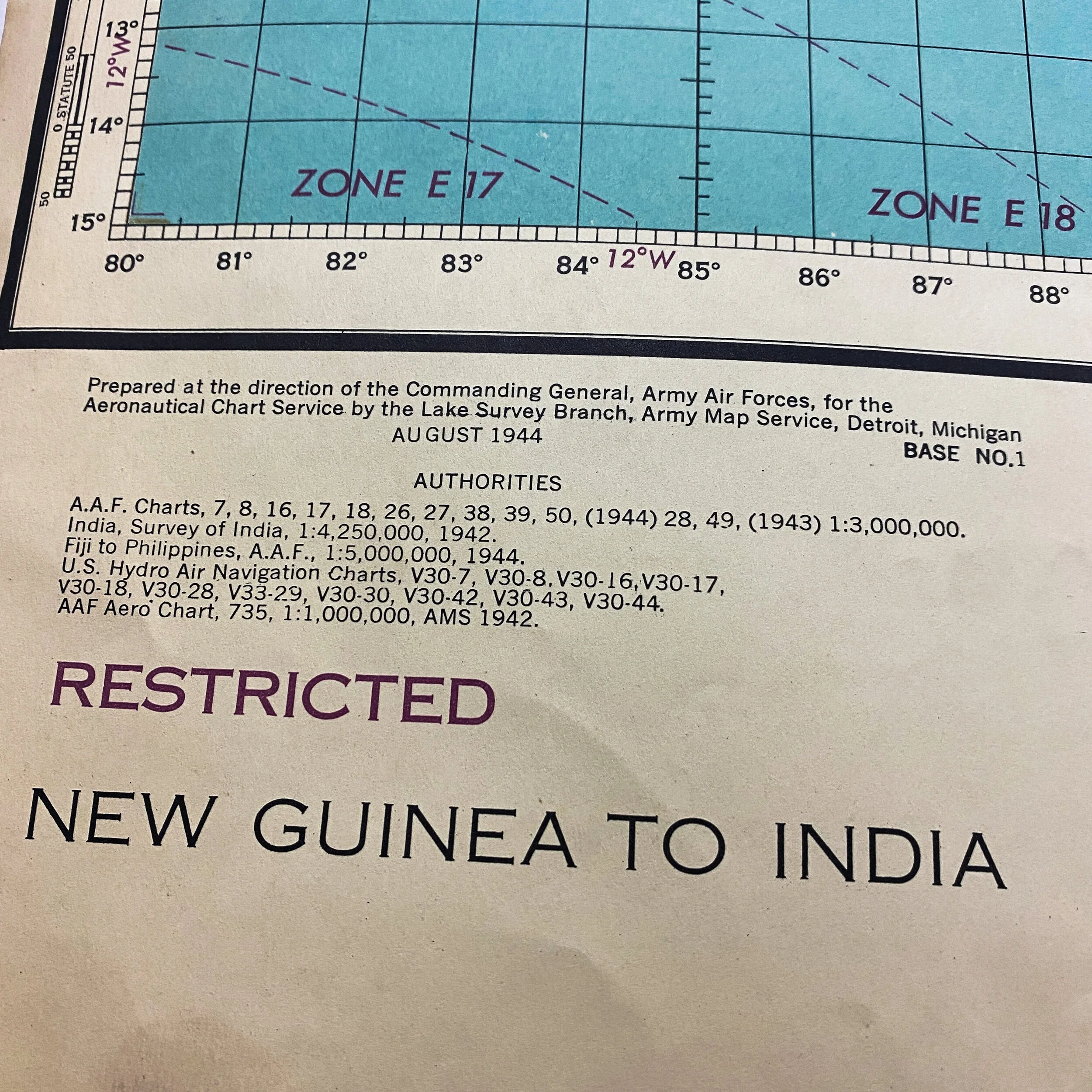
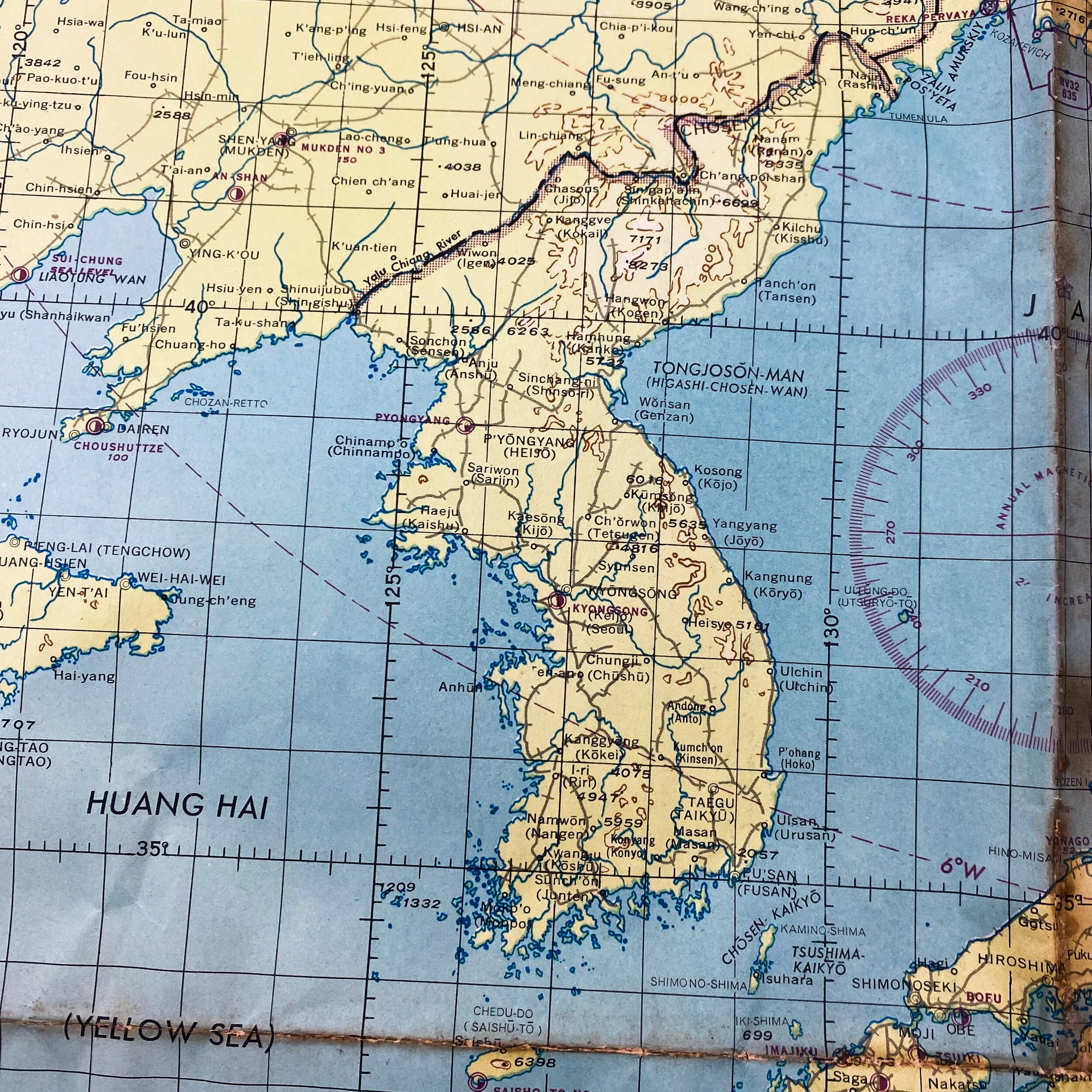
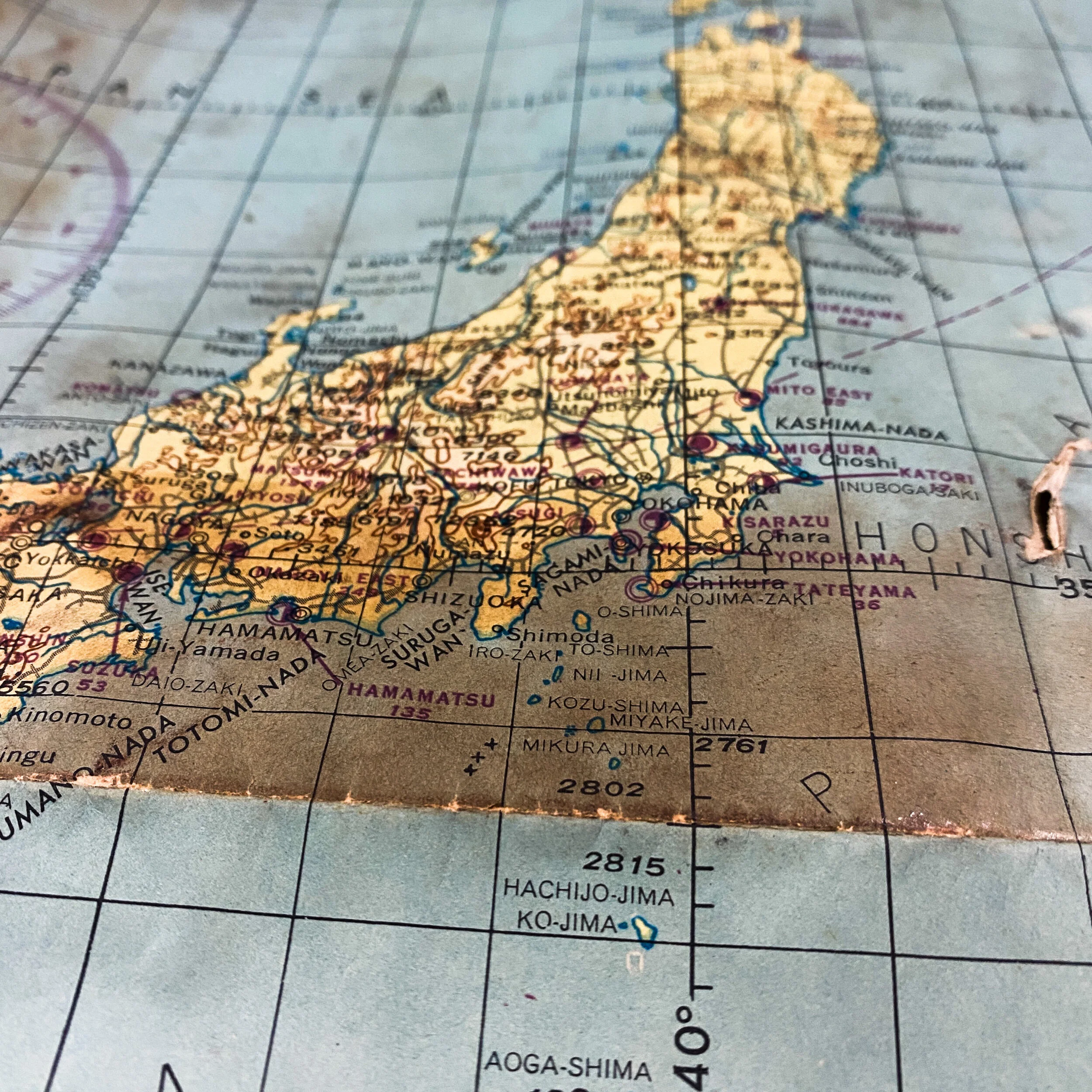
Titled “U.S. Army Air Forces - Special Air Navigation Chart” this ‘RESTRICTED’ 1944 dated Pacific Theater air navigational map is one of very few that exist today from the rare S-108 series. With lines of equal magnetic variation and aeronautical information updated as of March of 1945, what makes this map so rare is that it is one of the only maps produced by the U.S. Army Air Force that is a combination of 11 A.A.F. Pacific Theater charts and more than 15 other various charts (26 in total). This map is constructed from A.A.F. charts 7, 8, 16, 17, 18, 26, 27, 38, 39, 50 (1944) 28, 49 (1943) along with more than 10 U.S. Hydro Air Navigational Charts from the V30 series added into the map. This map also contains gradient of elevation (altitude) tints, as well as “RESTRICTED” Allied Radio facility locations, and channel tuning frequencies on the various Allied occupied islands within the Pacific Theater. These radio facilities aided Allied navigators with the navigational help of LORAN. LORAN (LOng RANge Navigation) is system of radio navigation based on measuring the time-delay between sets of radio signals. The big advantage of this system over celestial navigation is that it was more accurate during the day and worked at night even when the sky was cloudy. The map also features an extremely detailed legend detailing the Allied seaplane facilities and military bases, as well as beacon locations, military bases for land plane facilities, as well as very rare legend of runway indications and length measurements. A shade of a circle depicted the length of the longest runway in feet on the island, this was extremely crucial for landing large planes like the heavy bombers that would later go on to bomb Japan and other late islands as the Allies pushed up their bombing raid campaigns against the Japanese.
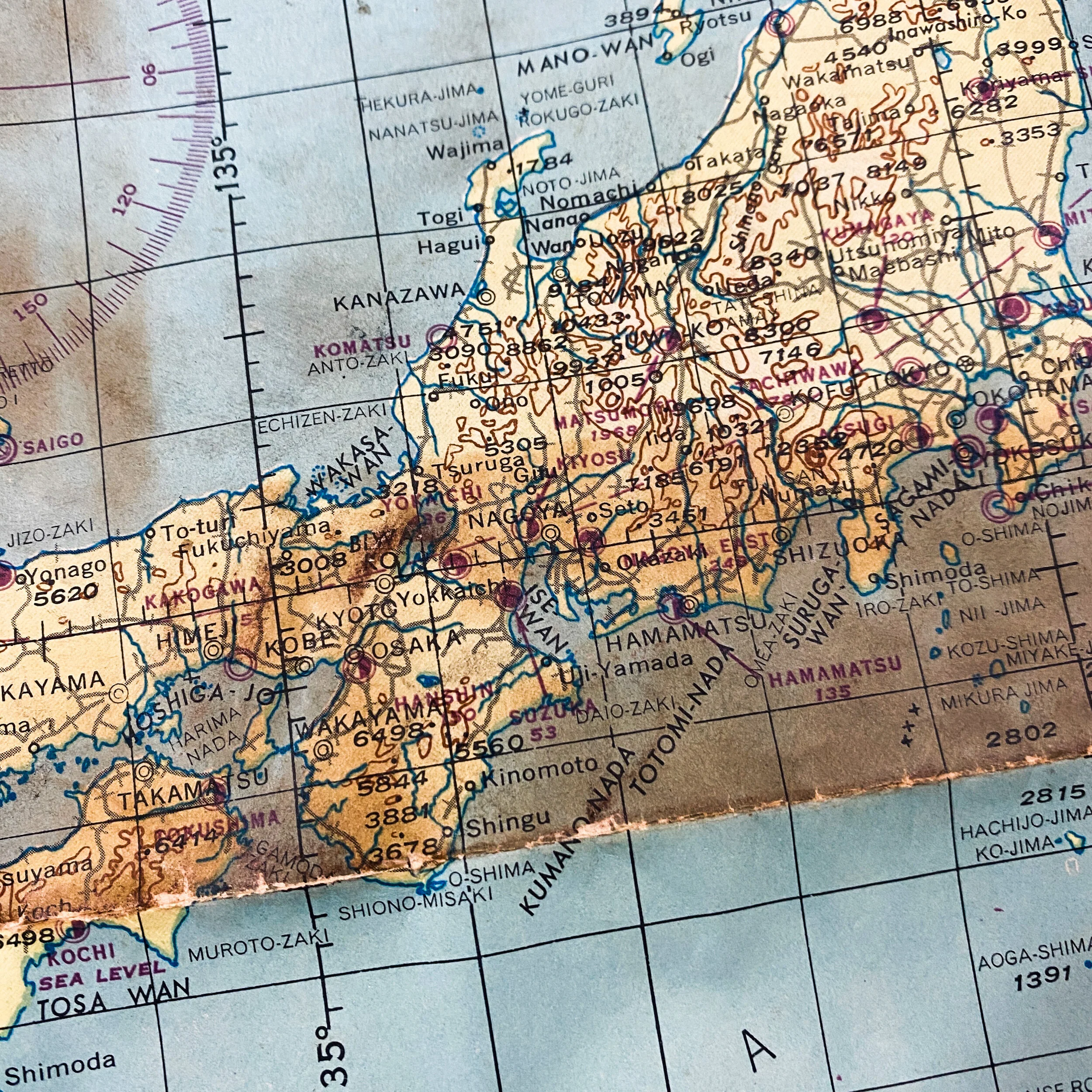
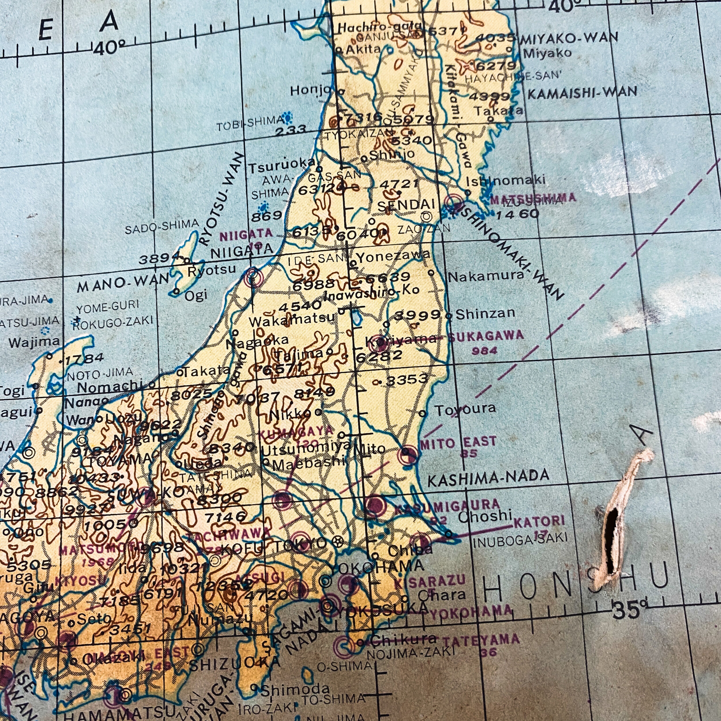
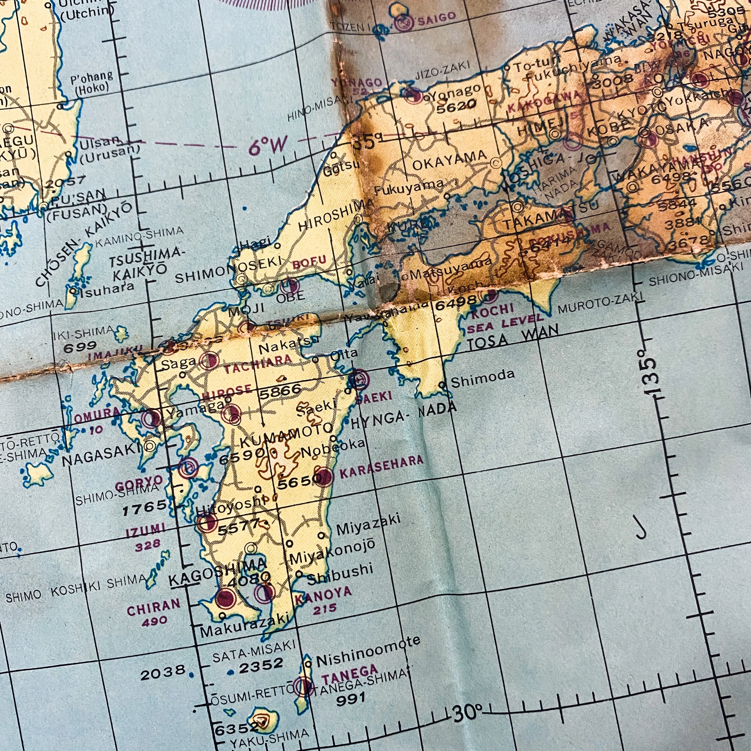
This map played an extremely vital part of the war and was heavily used by a U.S. Allied air Navigator fighting in the Pacific Theater. This map shows some of the most infamous islands in the Pacific ranging from as far down as New Guinea, Borneo, Celebes, Philippines, Peleliu, the Marianas Islands, Iwo Jima, Okinawa, and the infamous homeland of Japan.
Air Raids on Japan:
Allied forces conducted many air raids on Japan during World War II, causing extensive destruction to the country's cities and killing between 241,000 and 900,000 people. During the first years of the Pacific War these attacks were limited to the Doolittle Raid in April 1942 and small-scale raids on military positions in the Kuril Islands from mid-1943. Strategic bombing raids began in June 1944 and continued until the end of the war in August 1945. Allied naval and land-based tactical air units also attacked Japan during 1945.The United States military air campaign waged against Japan began in earnest in mid-1944 and intensified during the war's last months. While plans for attacks on Japan had been prepared prior to the Pacific War, these could not begin until the long-range B-29 Superfortress bomber was ready for combat. From June 1944 until January 1945, B-29s stationed in India staged through bases in China to make a series of nine raids on targets in western Japan, but this effort proved ineffective. The strategic bombing campaign was greatly expanded from November 1944 when bases in the Mariana Islands became available as a result of the Mariana Islands Campaign. These attacks initially attempted to target industrial facilities using high-altitude daylight "precision" bombing, which was also largely ineffective. From February 1945, the bombers switched to low-altitude night firebombing against urban areas as much of the manufacturing process was carried out in small workshops and private homes: this approach resulted in large-scale urban damage. Aircraft flying from Allied aircraft carriers and the Ryukyu Islands also frequently struck targets in Japan during 1945 in preparation for the planned invasion of Japan scheduled for October 1945. During early August 1945, the cities of Hiroshima and Nagasaki were struck and mostly destroyed by atomic bombs.Japan's military and civil defenses were unable to stop the Allied attacks. The number of fighter aircraft and anti-aircraft guns assigned to defensive duties in the home islands was inadequate, and most of these aircraft and guns had difficulty reaching the high altitudes at which B-29s often operated. Fuel shortages, inadequate pilot training, and a lack of coordination between units also constrained the effectiveness of the fighter force. Despite the vulnerability of Japanese cities to firebombing attacks, the firefighting services lacked training and equipment, and few air raid shelters were constructed for civilians. As a result, the B-29s were able to inflict severe damage on urban areas while suffering few losses.The Allied bombing campaign was one of the main factors which influenced the Japanese government's decision to surrender in mid-August 1945. However, there has been a long-running debate over the morality of the attacks on Japanese cities, and the use of atomic weapons is particularly controversial. The most commonly cited estimate of Japanese casualties from the raids is 333,000 killed and 473,000 wounded. There are a number of other estimates of total fatalities, however, which range from 241,000 to 900,000. In addition to the loss of mostly civilian life, the raids contributed to a large decline in industrial production.