RARE! Original WWII Operation Overlord D-Day U.S. Invasion Map of Normandy France


RARE! Original WWII Operation Overlord D-Day U.S. Invasion Map of Normandy France
Comes with hand-signed C.O.A.
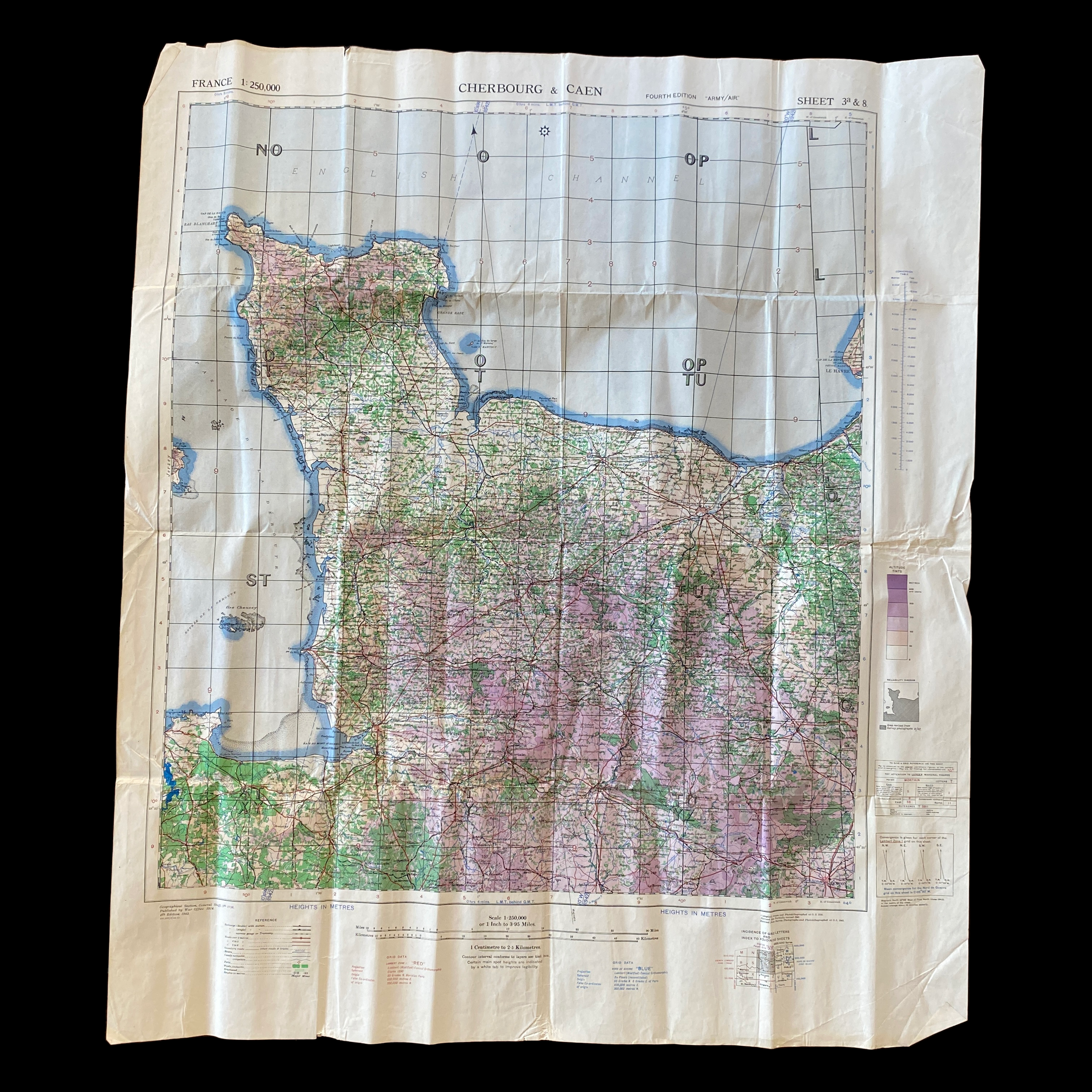
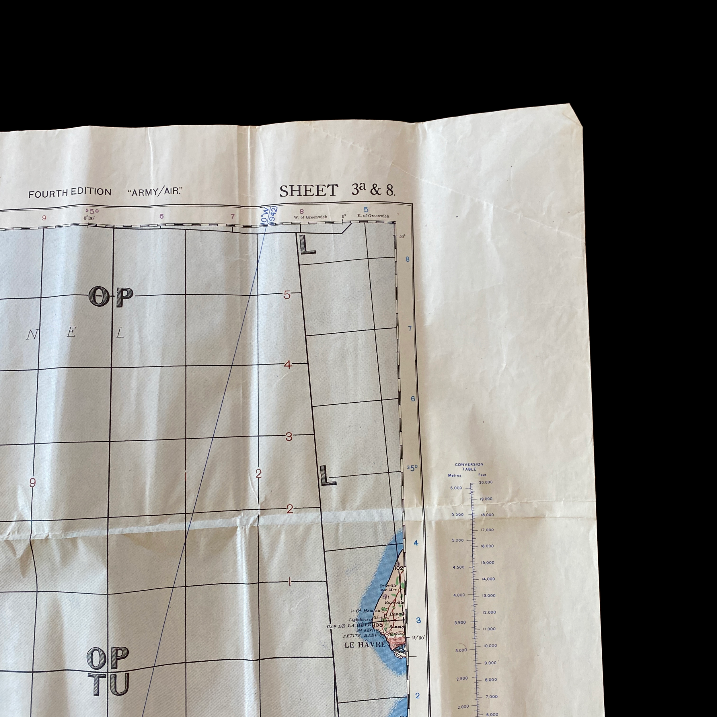
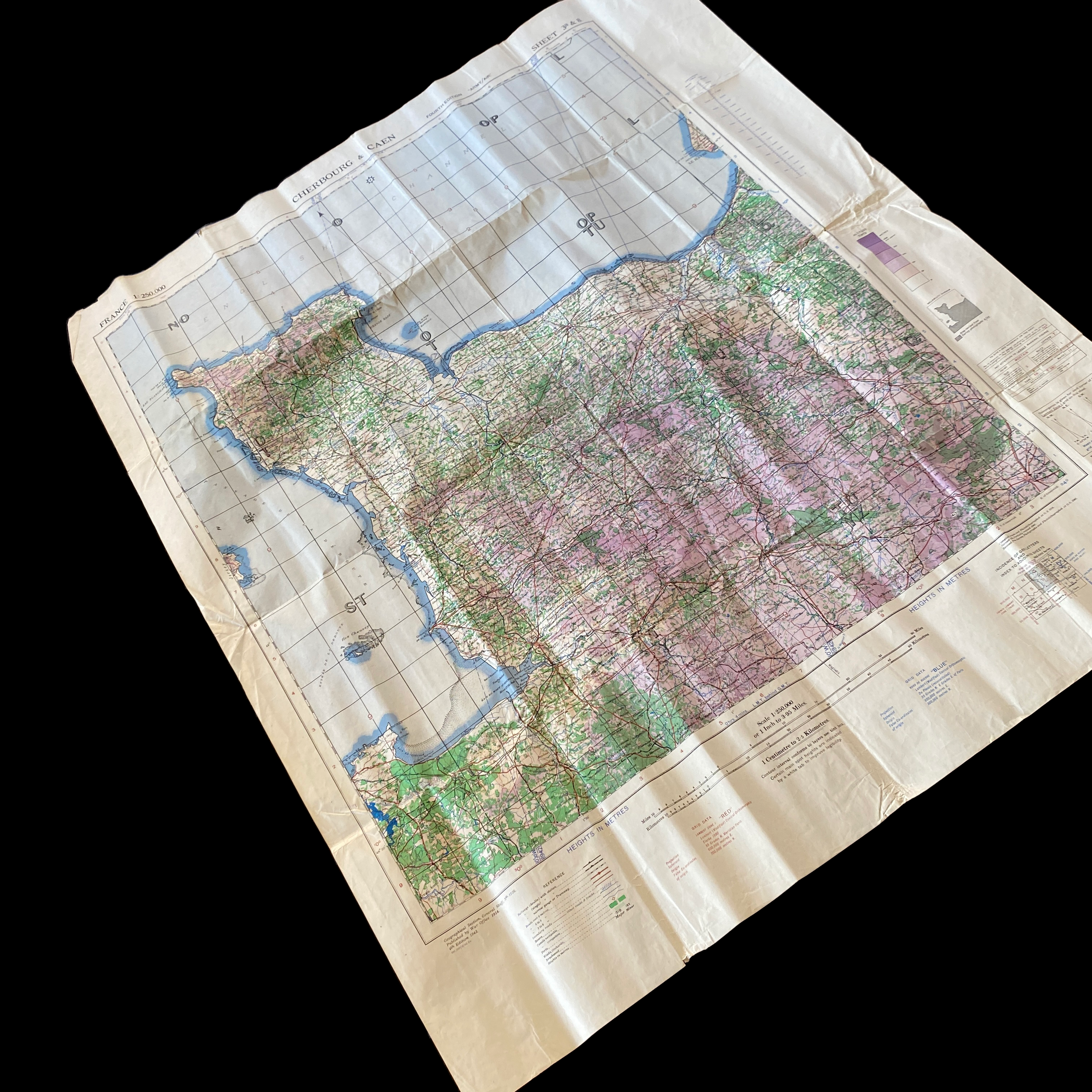
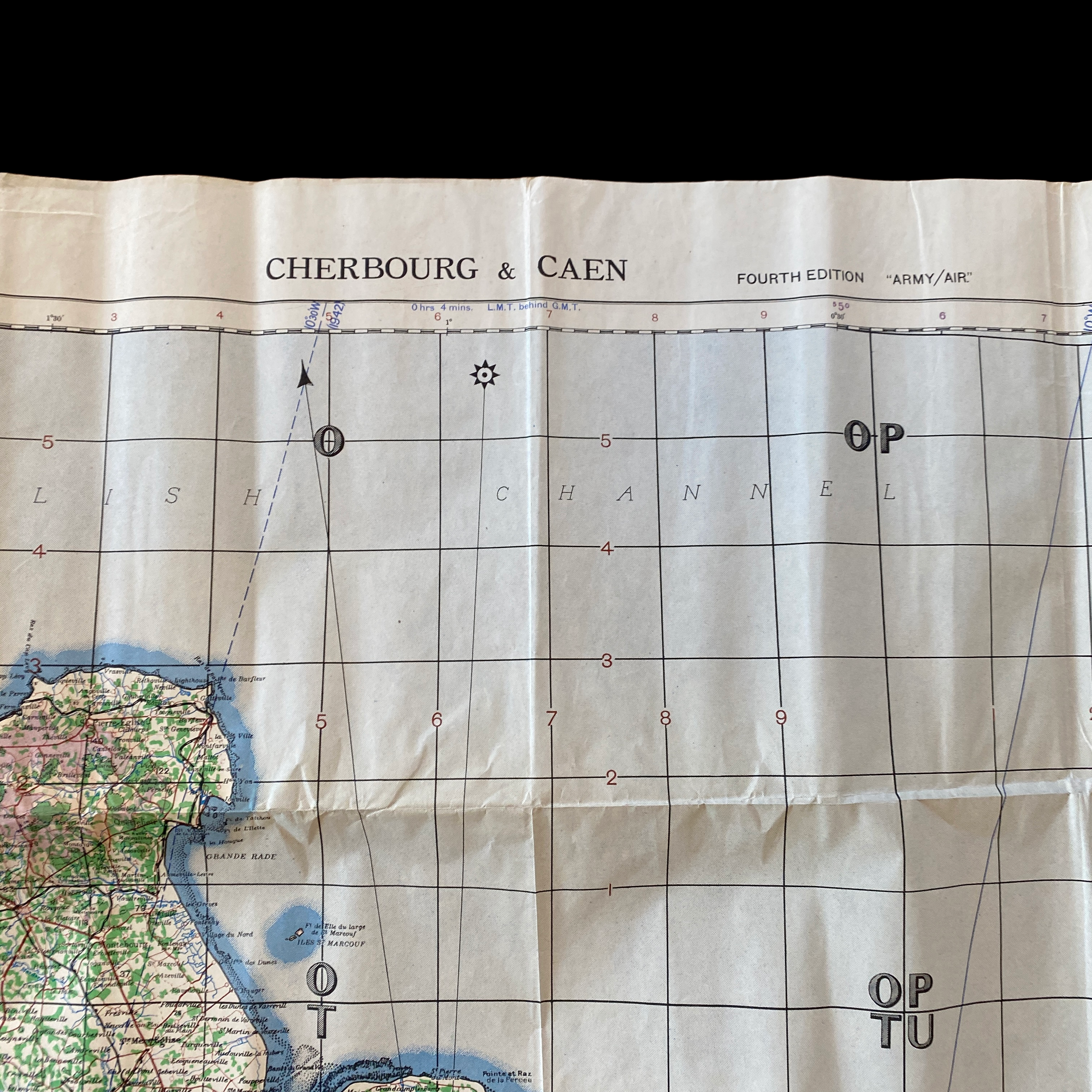
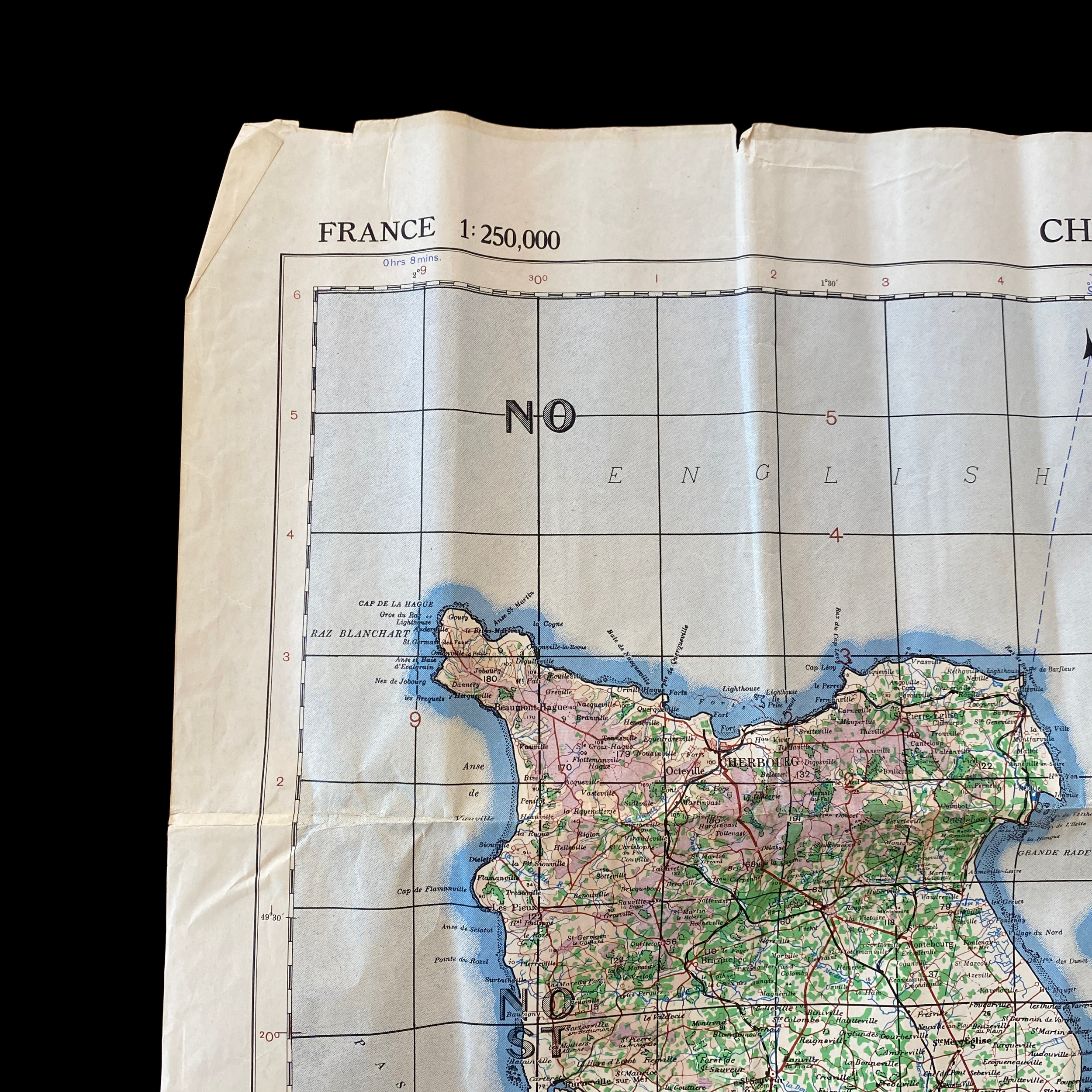
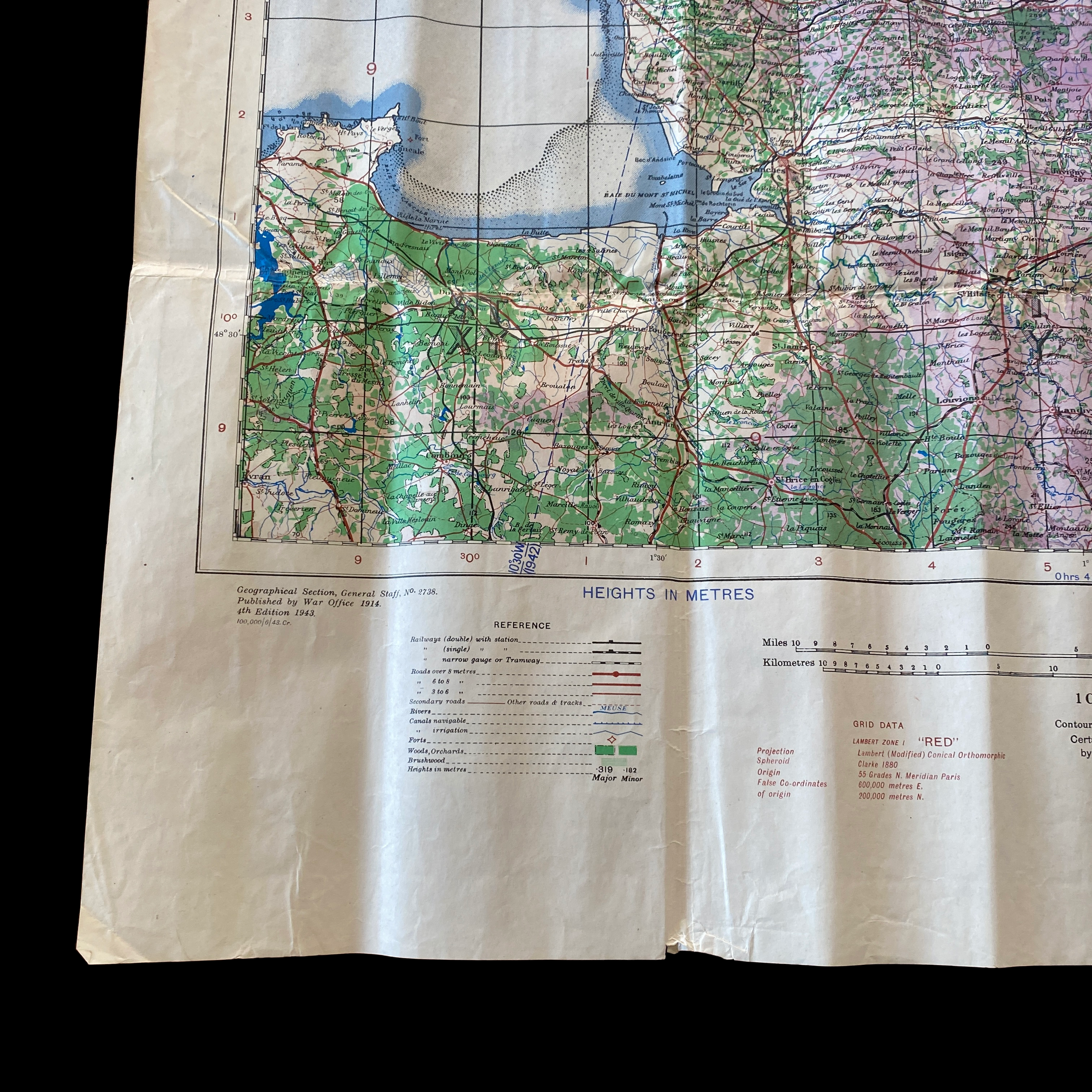
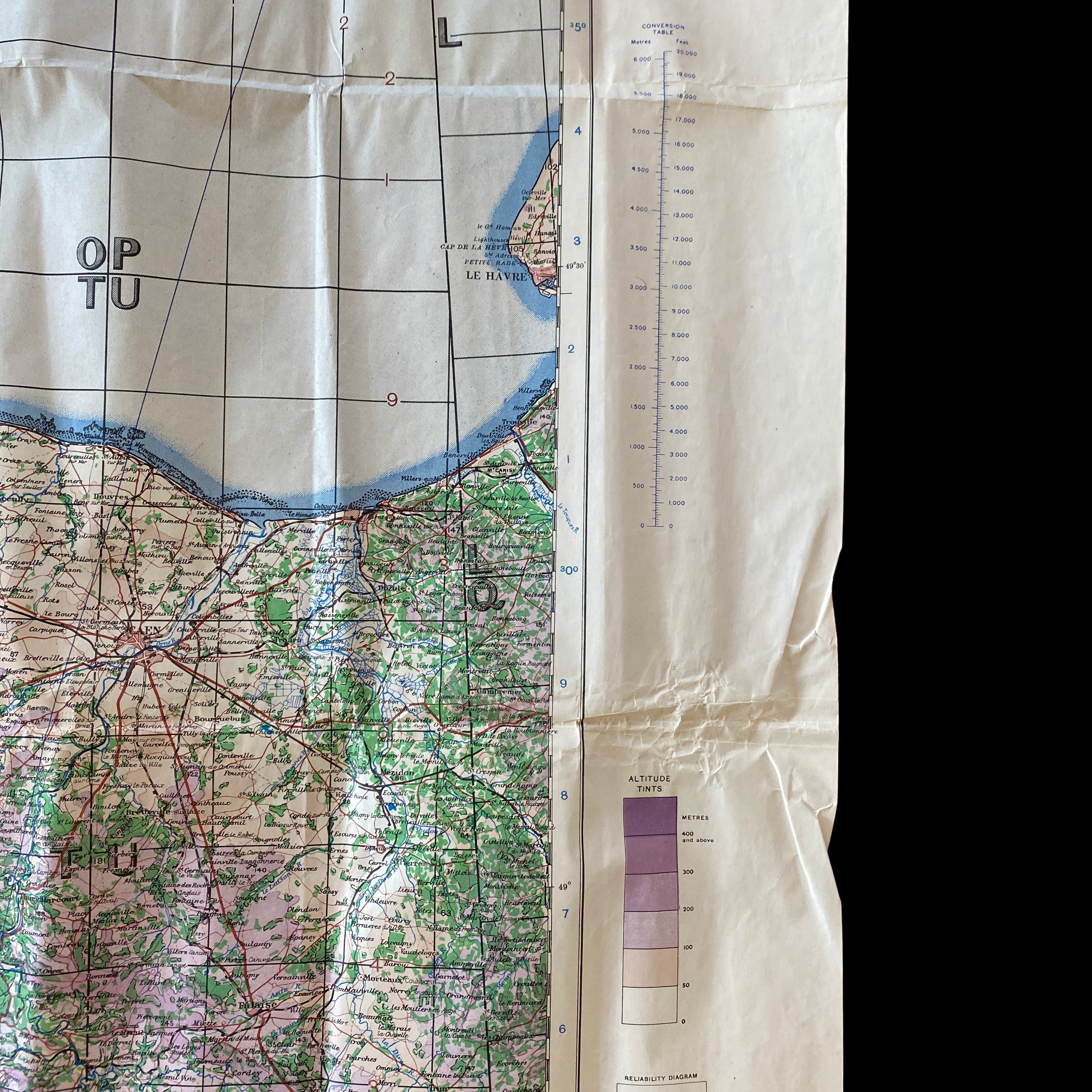
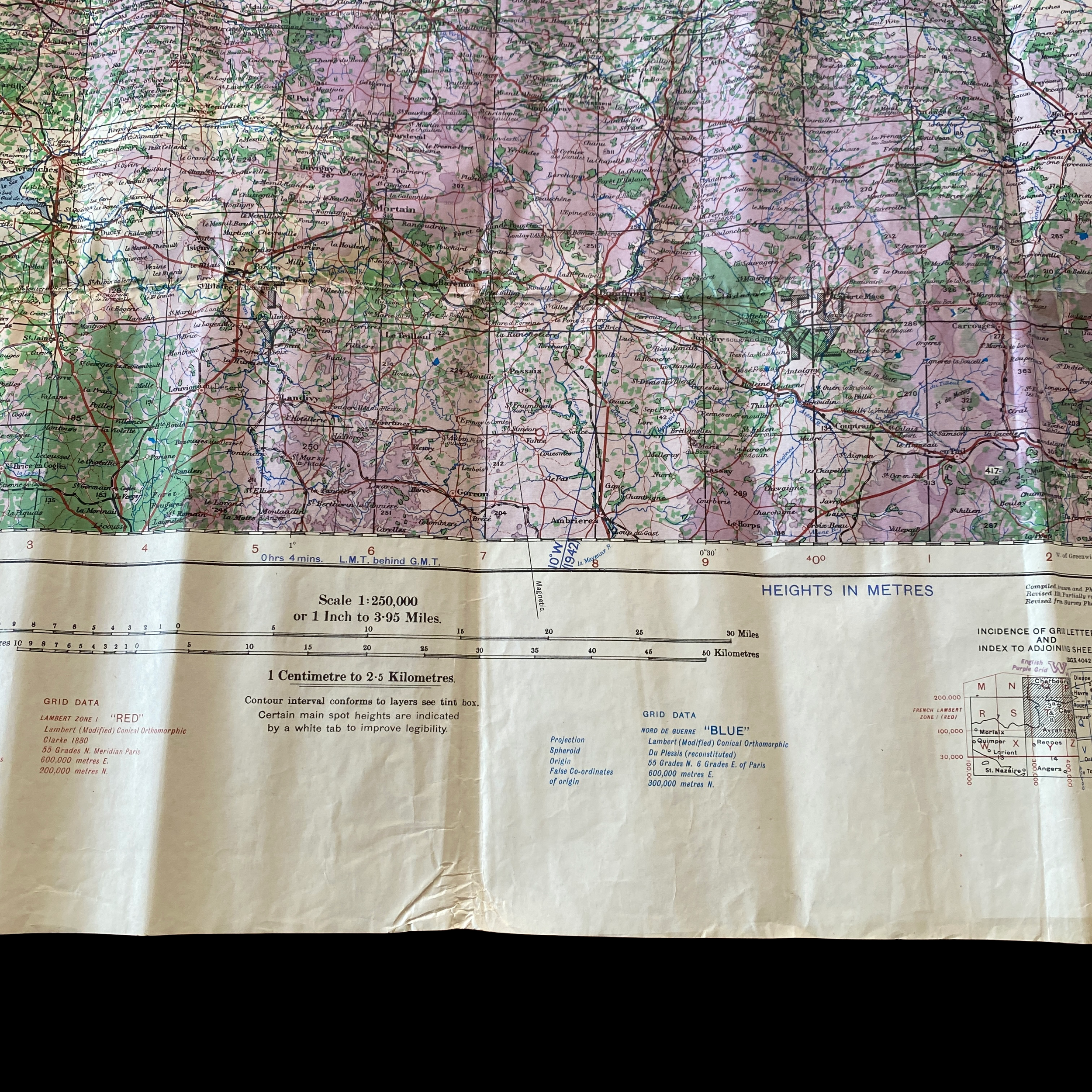
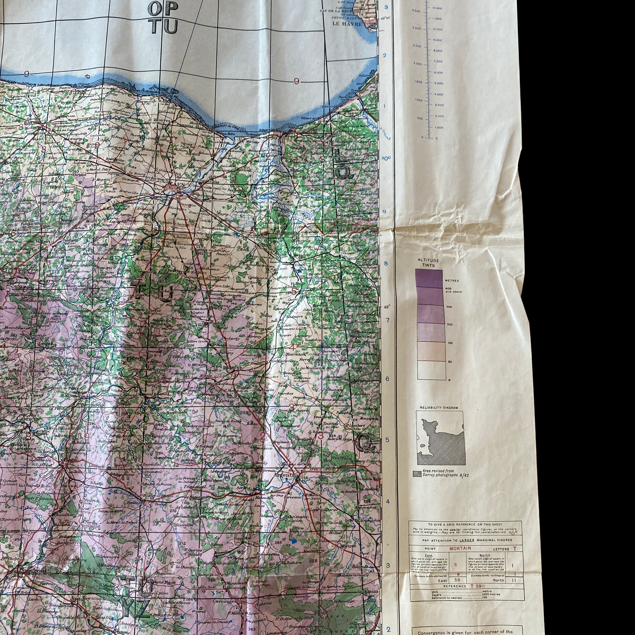
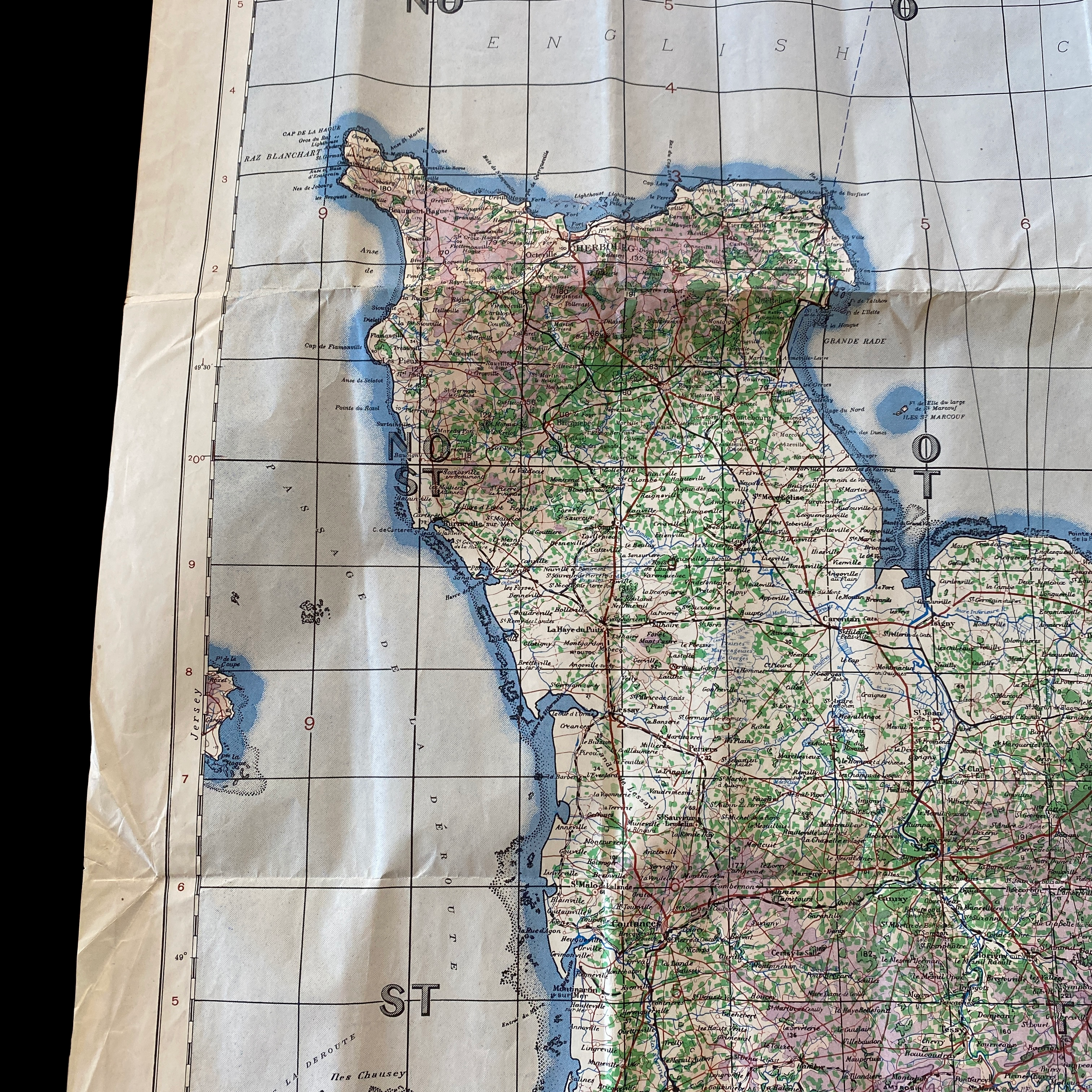
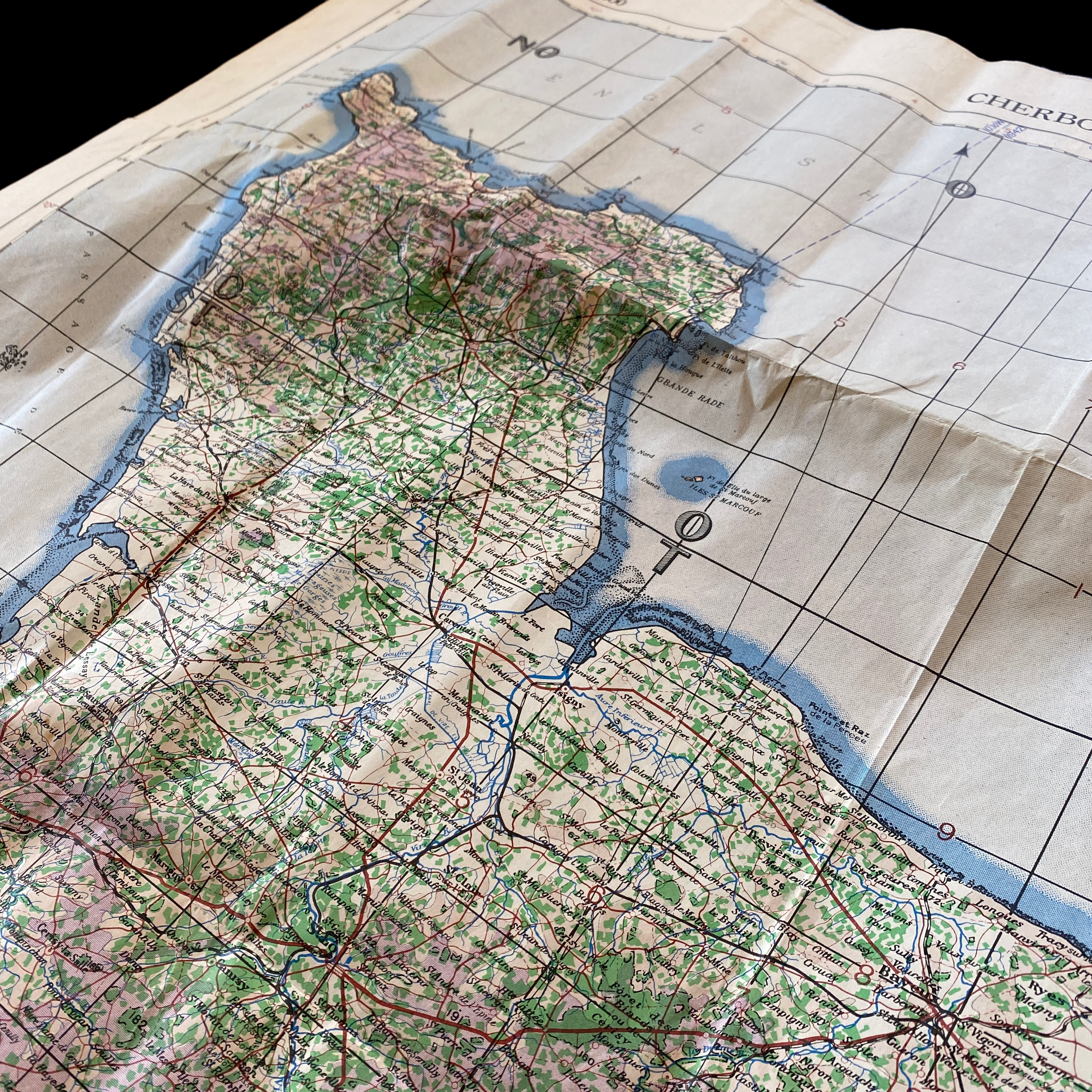
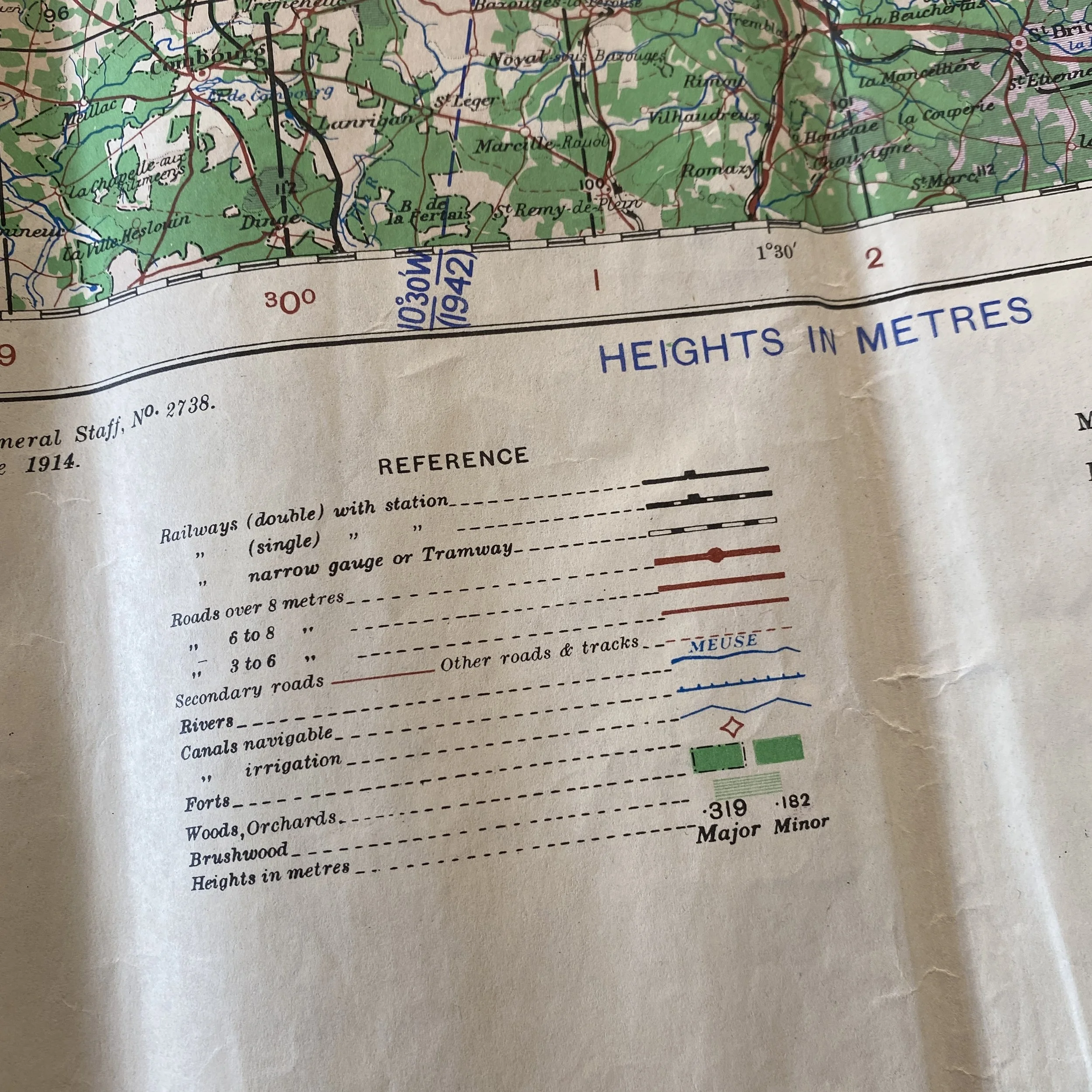
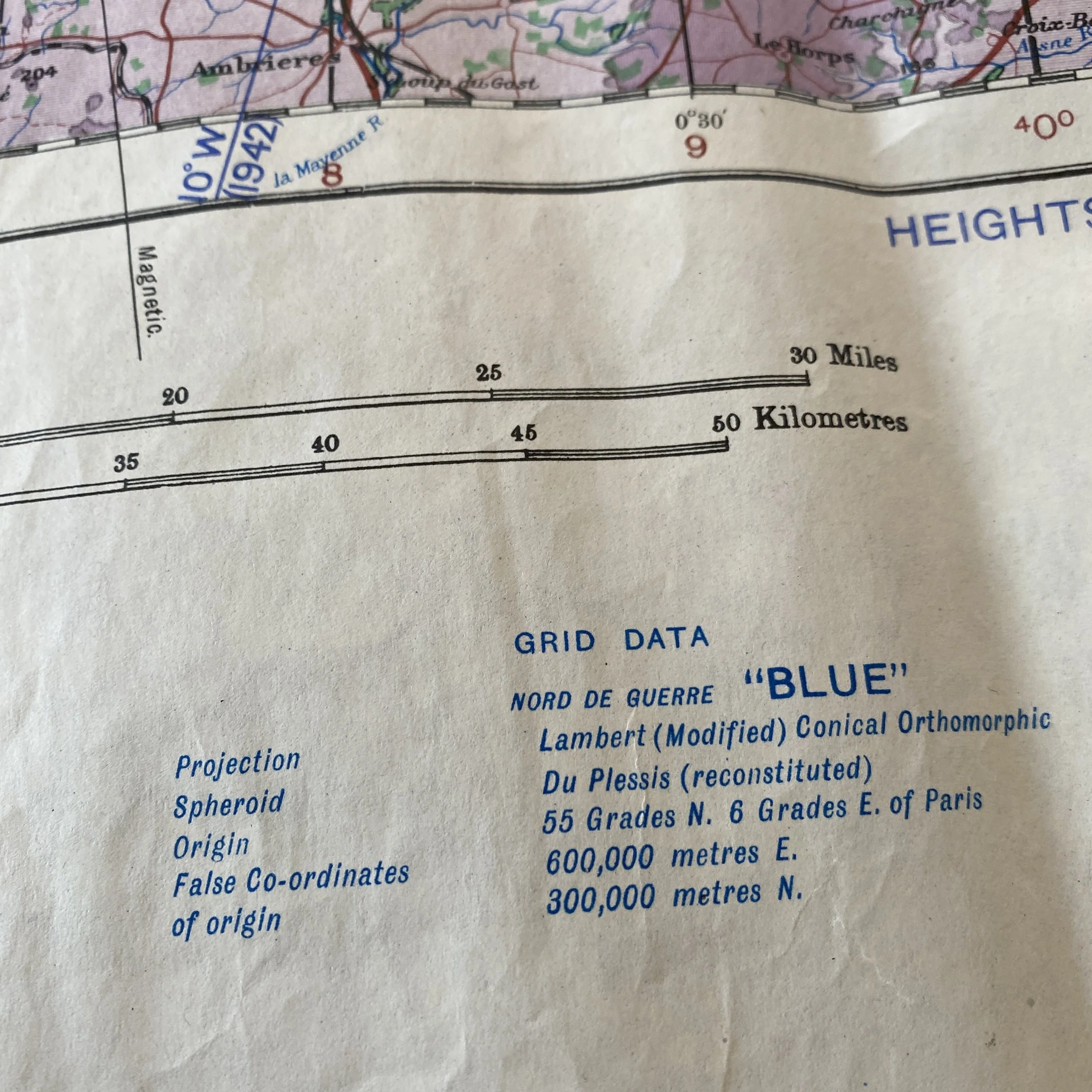
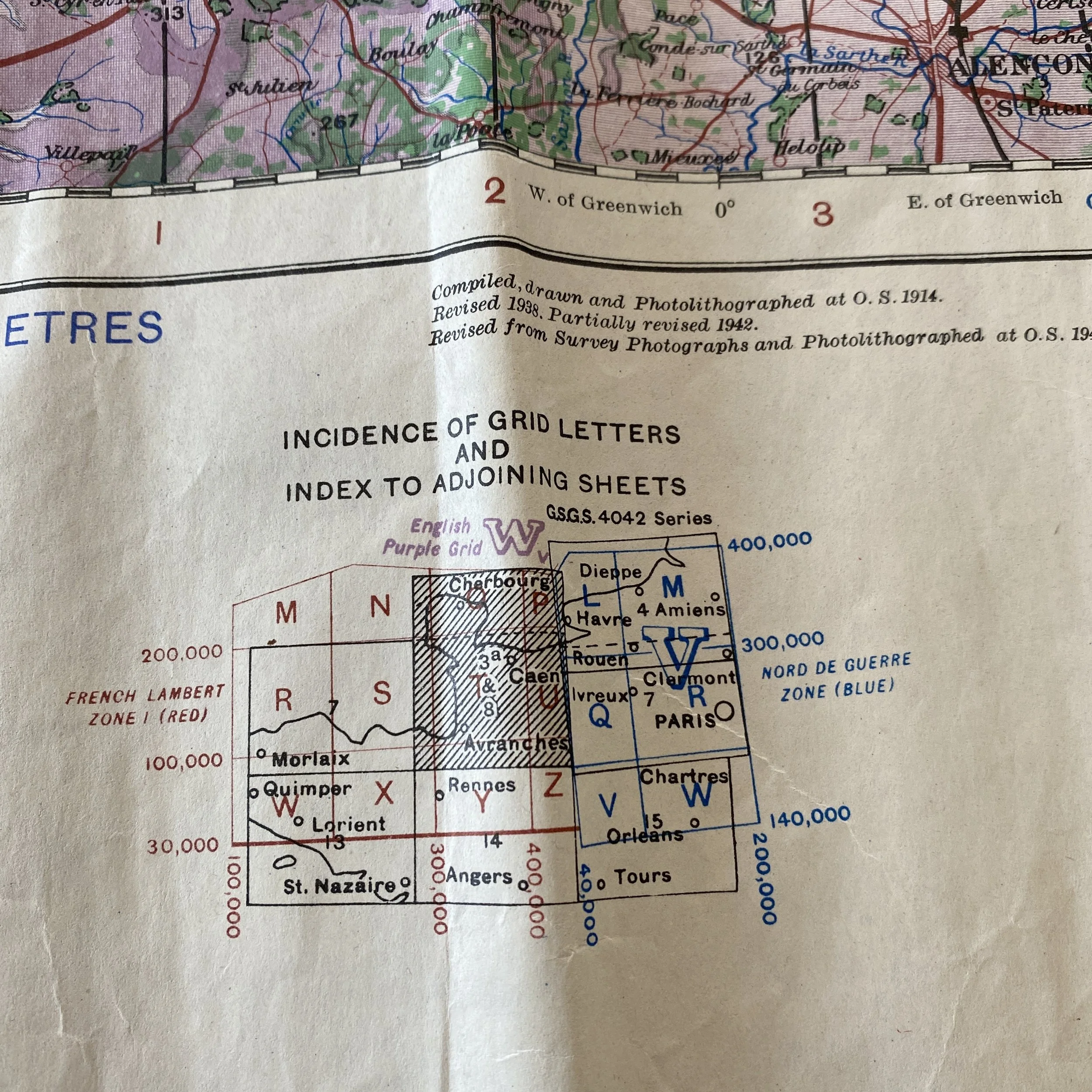
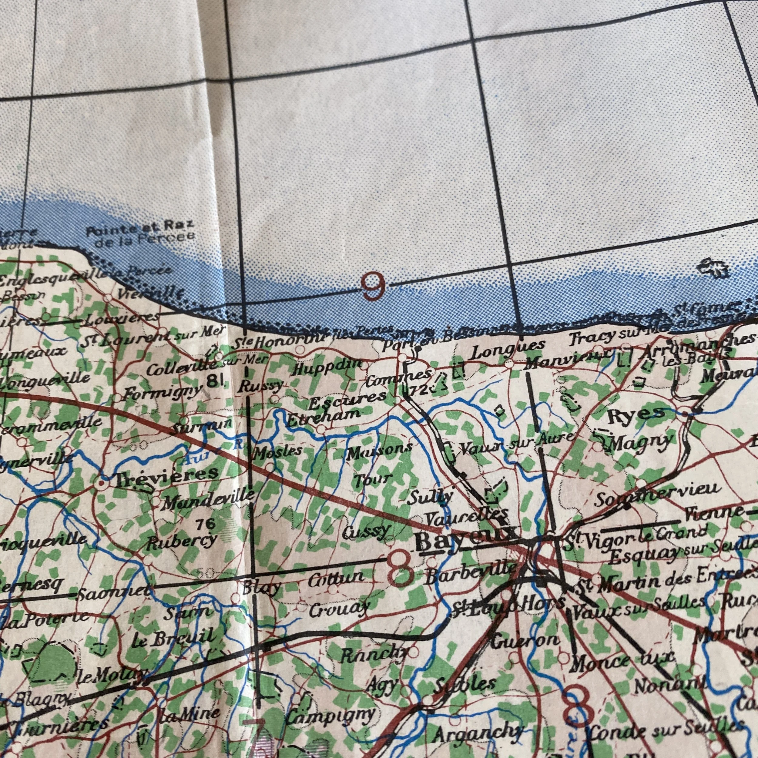
This rare and museum-grade World War II updated ‘FOURTH-EDITION’ 1943 dated invasion map of the Normandy, France region was used during Operation Overlord and the amphibious D-Day landings of UTAH, OMAHA, GOLD, JUNO and SWORD. This invasion map was distributed to the invasion soldiers for Operation Overlord. This rare invasion map type has incredible history as it was used during the D-Day invasion, the Battle of Normandy, the Battle of Cherbourg, the Liberation of Paris, as well as the Liberation of many other French towns all over the Normandy and Central Frace regions.
Operation Overlord was the codename for the Battle of Normandy, the Allied operation that launched the successful invasion of German-occupied Western Europe during World War II. The operation was launched on 6 June 1944 (D-Day) with the Normandy landings. A 1,200-plane airborne assault preceded an amphibious assault involving more than 5,000 vessels. Nearly 160,000 troops crossed the English Channel on 6 June, and more than two million Allied troops were in France by the end of August.
This map shows all of the D-Day amphibious landing beachhead areas as landed on by the Allies on June 6th, 1944. The D-Day operation of June 6, 1944 brought together the land, air and sea forces of the allied armies in what became known as the largest invasion force in human history. The operation, given the codename OVERLORD, delivered five naval assault divisions to the beaches of Normandy, France. The beaches were given the code names UTAH, OMAHA, GOLD, JUNO and SWORD. The invasion force included 7,000 ships and landing craft manned by over 195,000 naval personnel from eight allied countries. Almost 133,000 troops from England, Canada and the United States landed on D-Day. Casualties from the three countries during the landing numbered 10,300. By June 30th, over 850,000 men, 148,000 vehicles, and 570,000 tons of supplies had landed on the Normandy shores.
This map shows heavy field use and would make an amazing addition to any WWII or D-Day collection.