Army Air Force Bomber Silk Bail Out Survival Map - Battle of Leyte Gulf








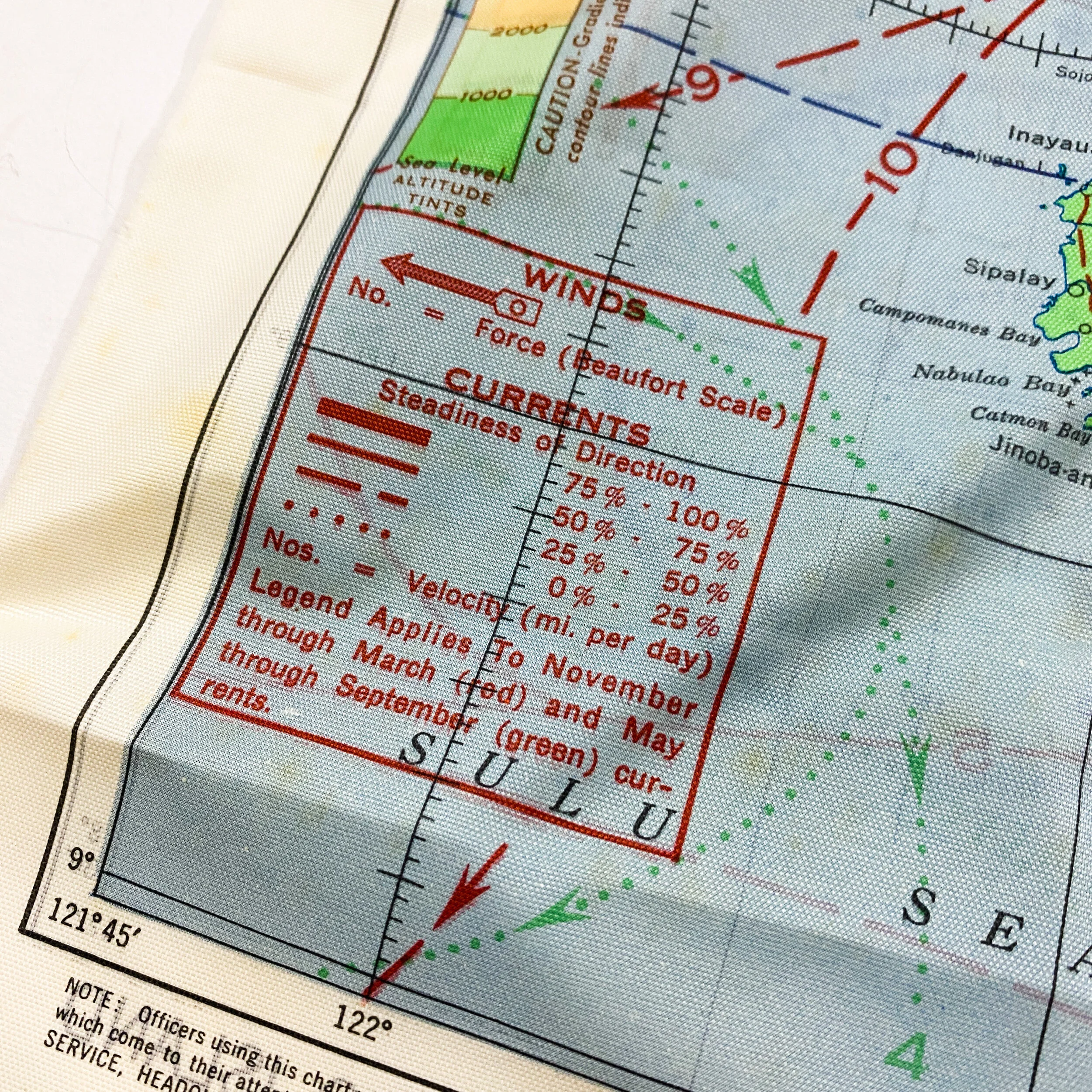


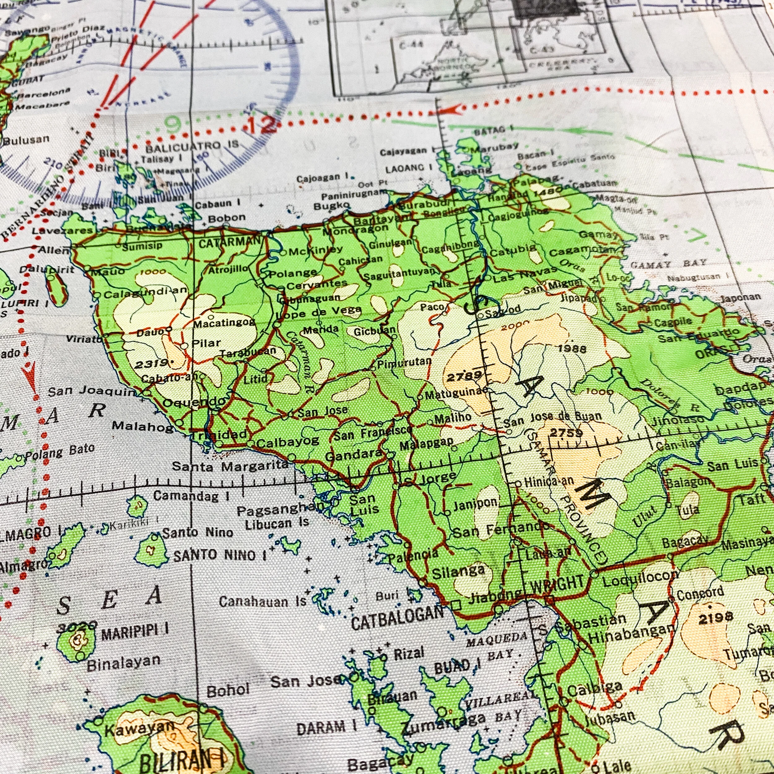
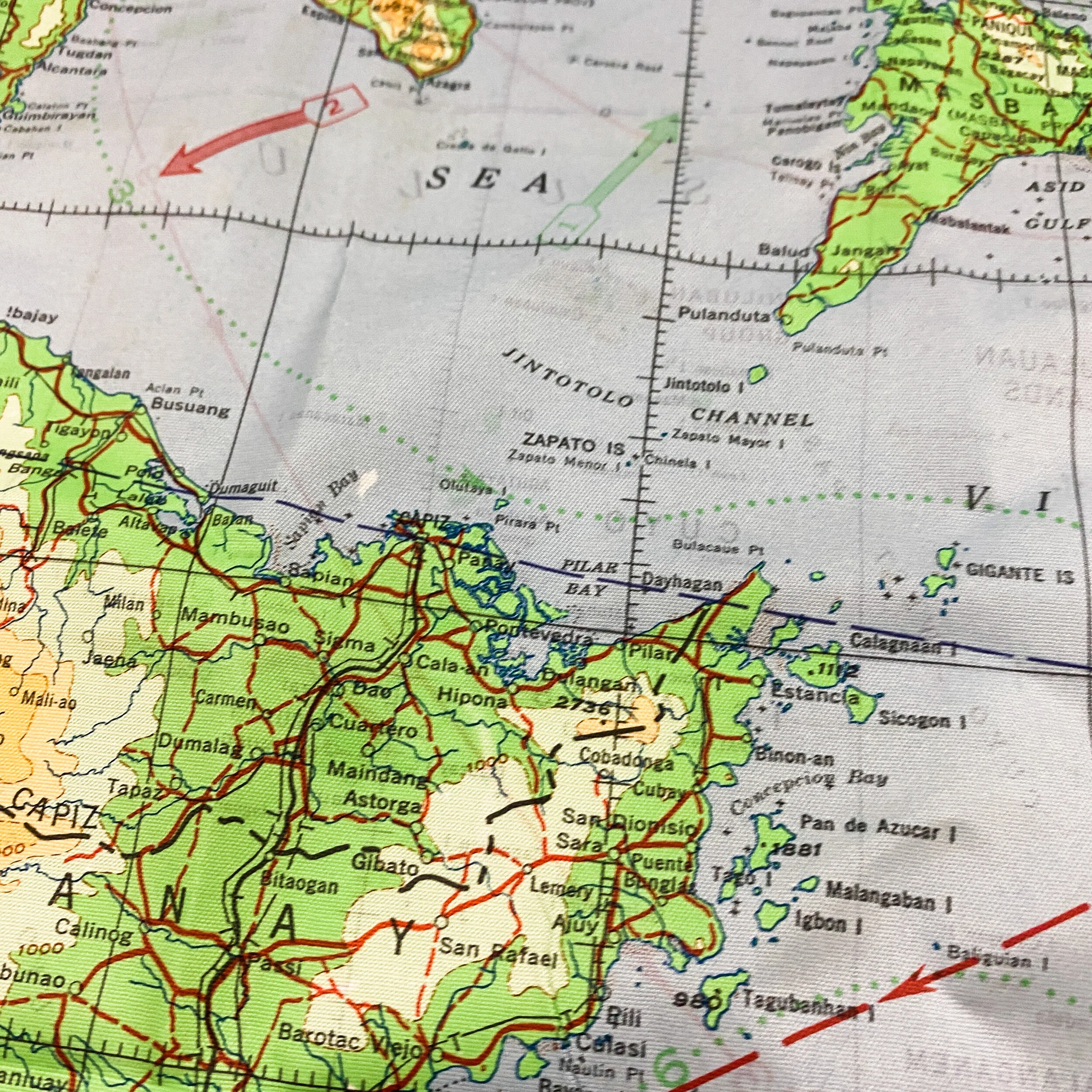
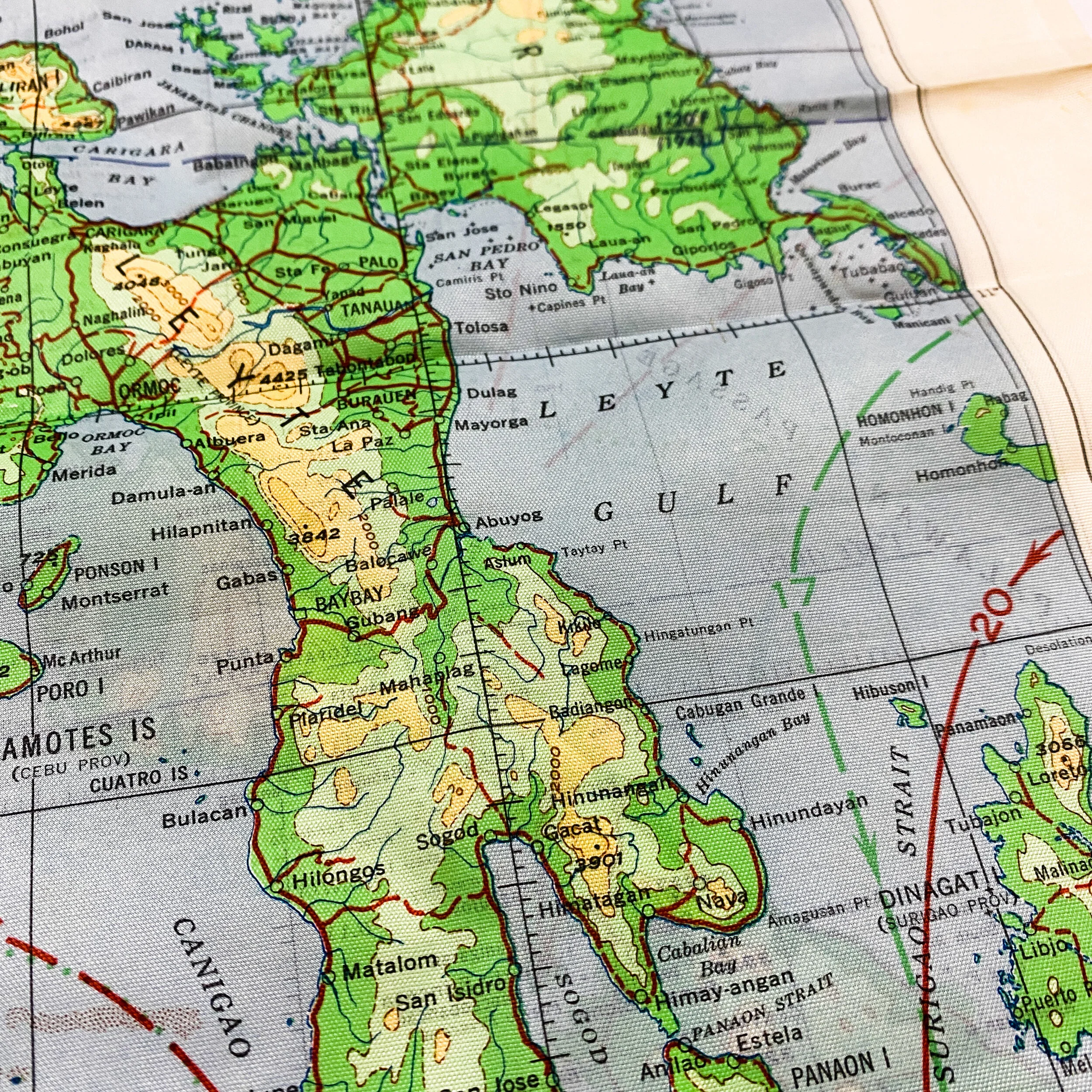












Army Air Force Bomber Silk Bail Out Survival Map - Battle of Leyte Gulf
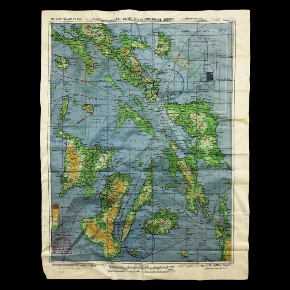
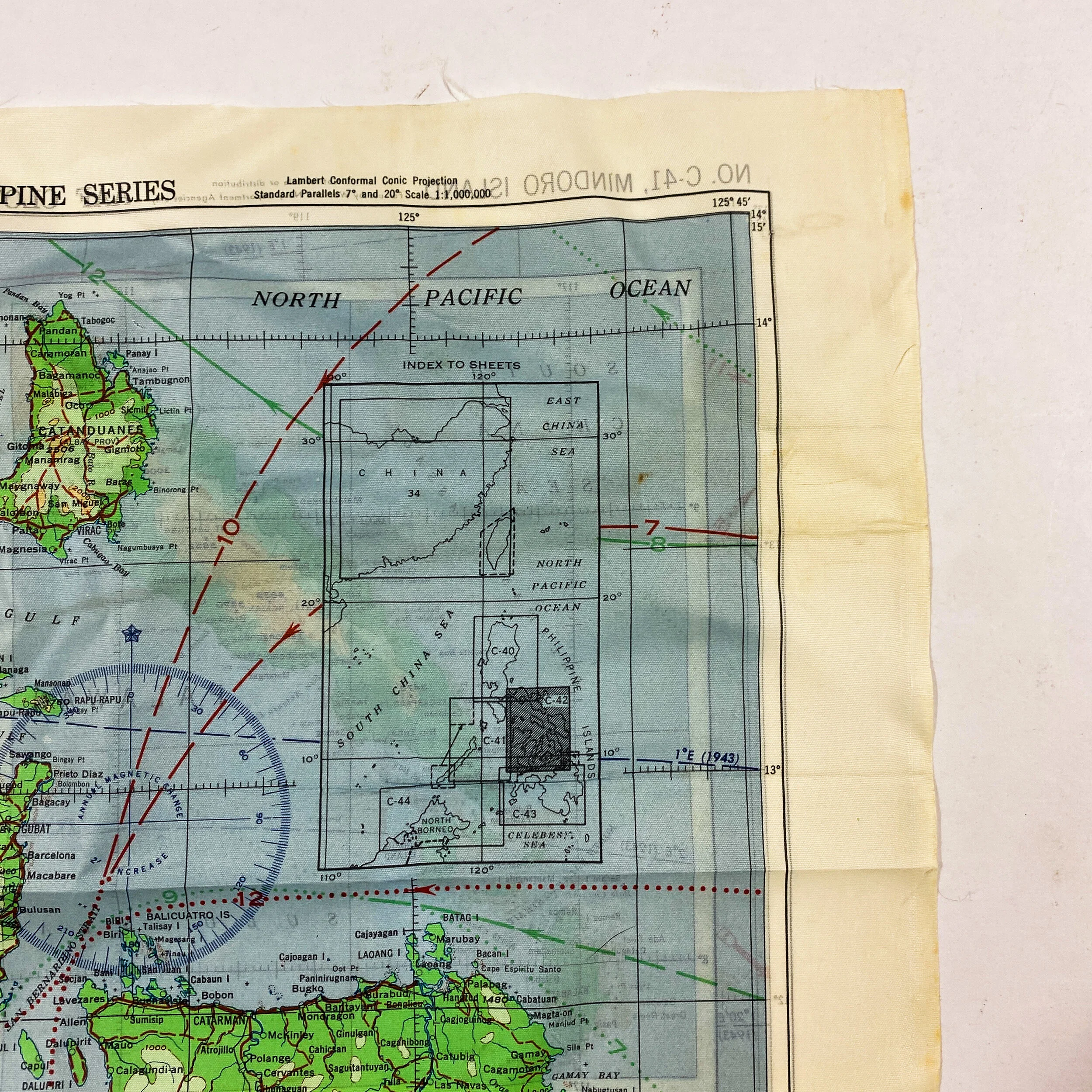
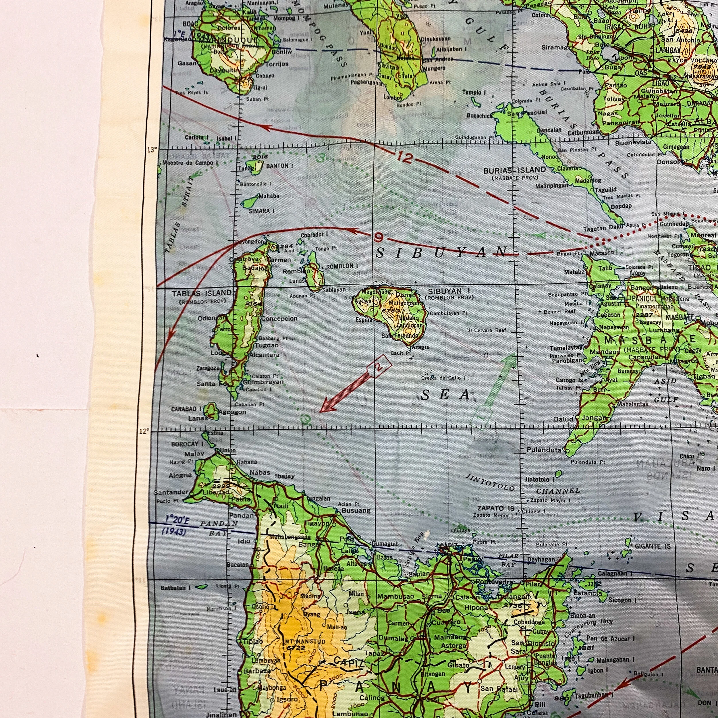
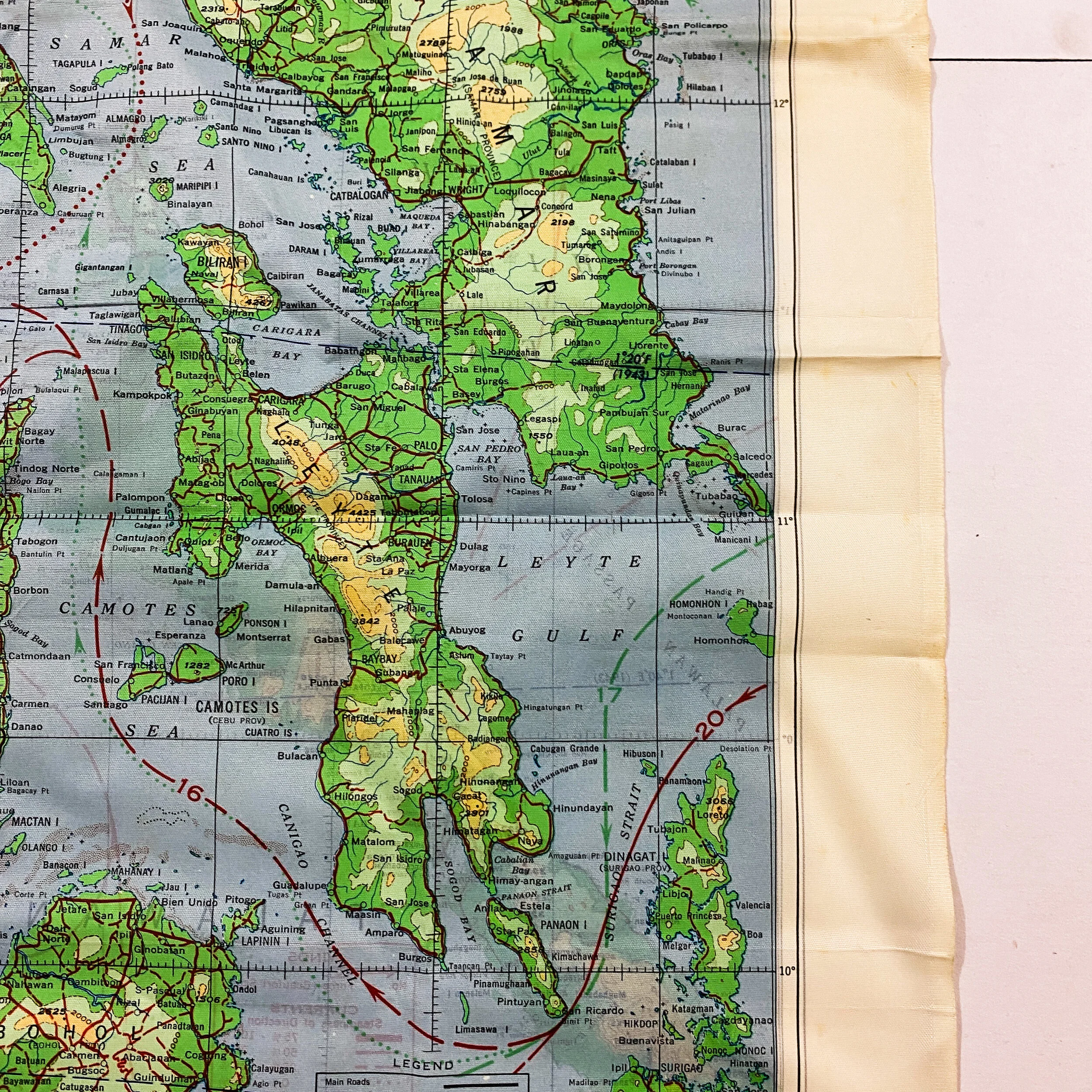
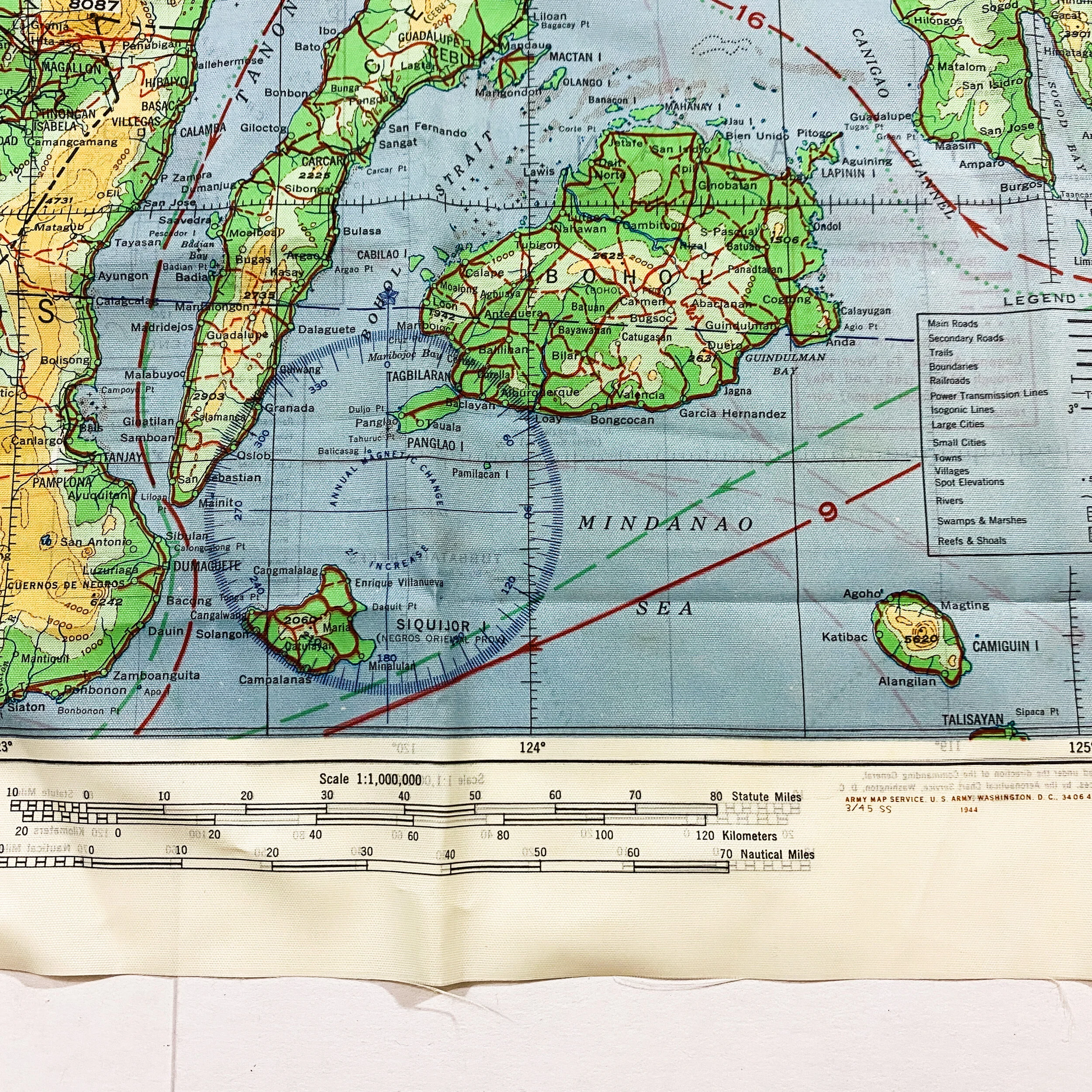
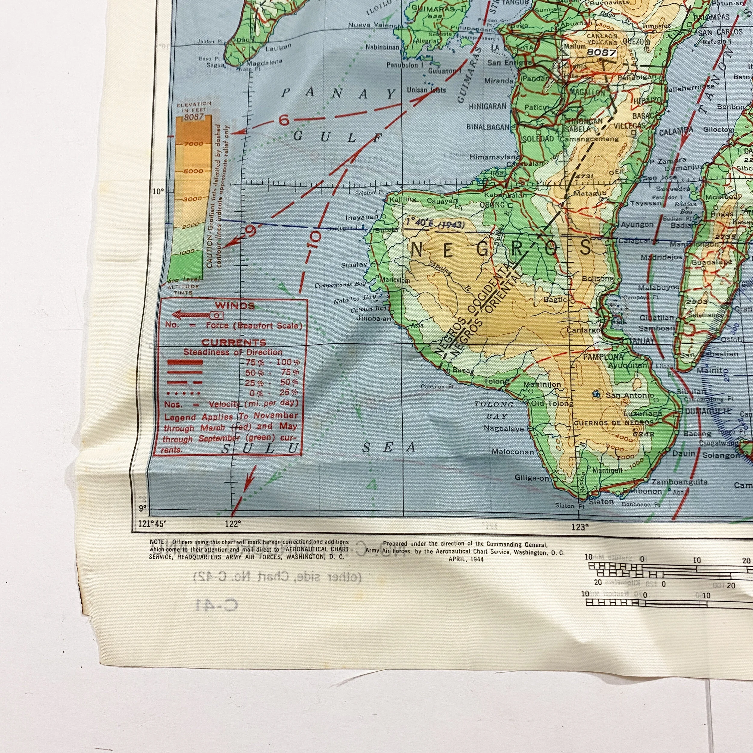
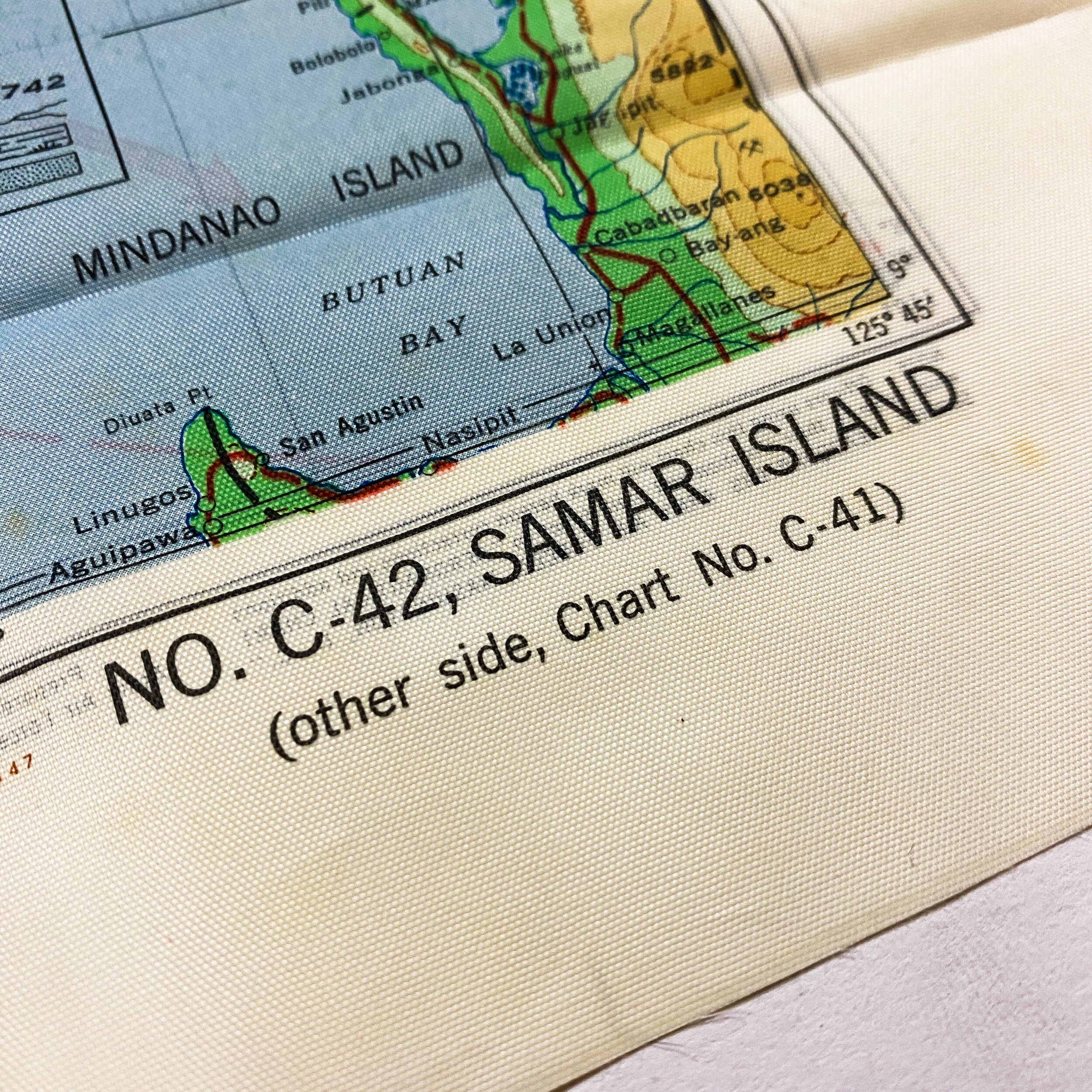
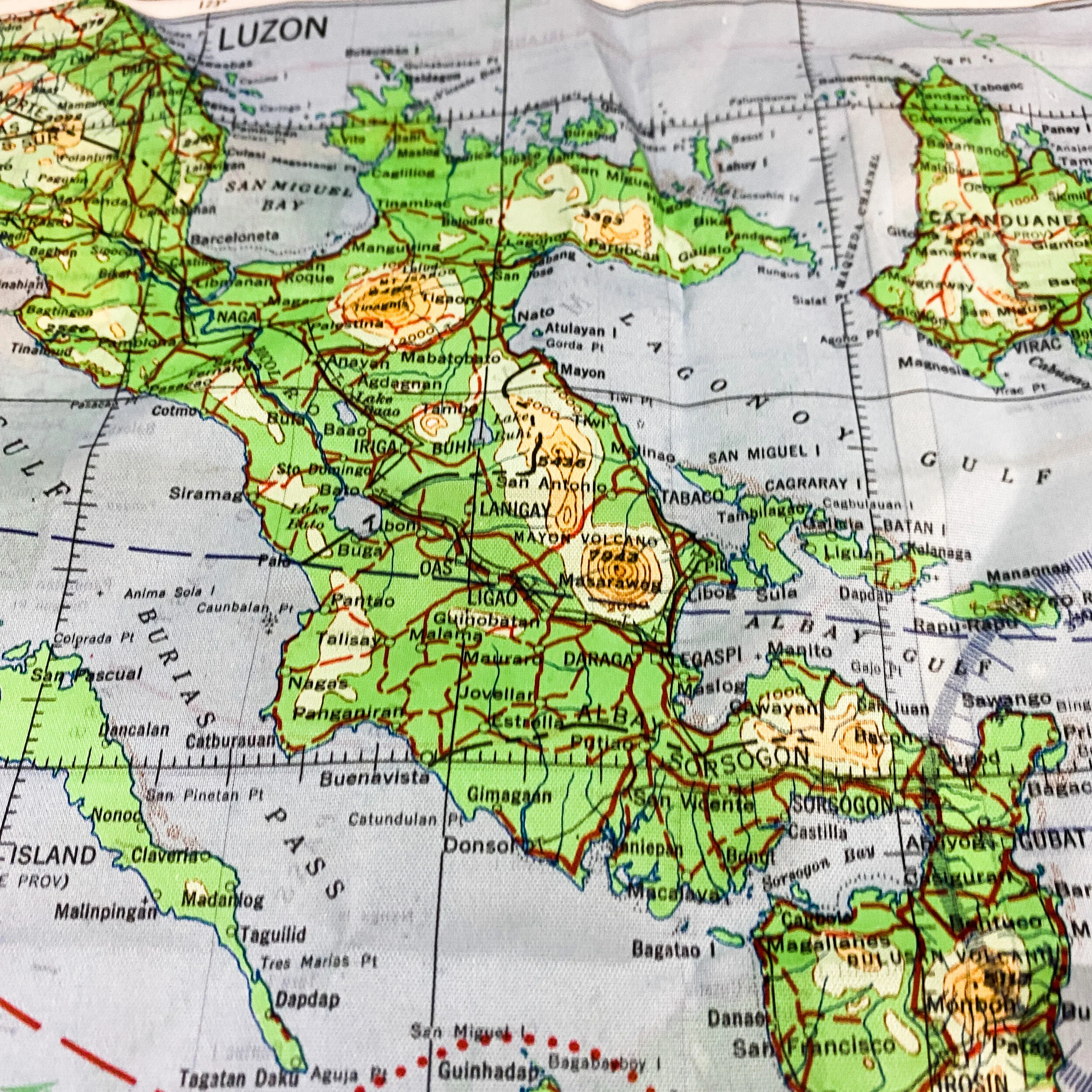
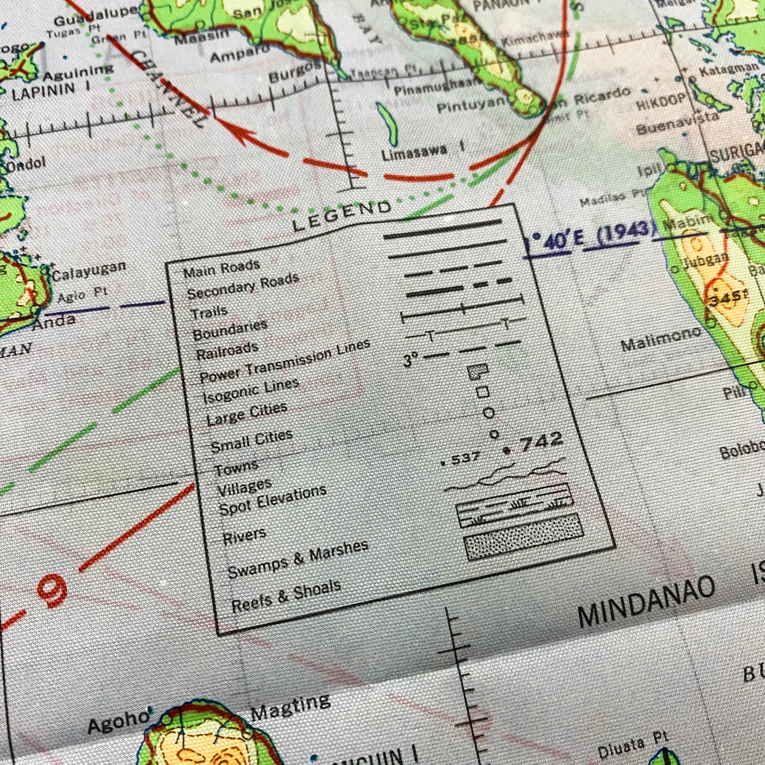
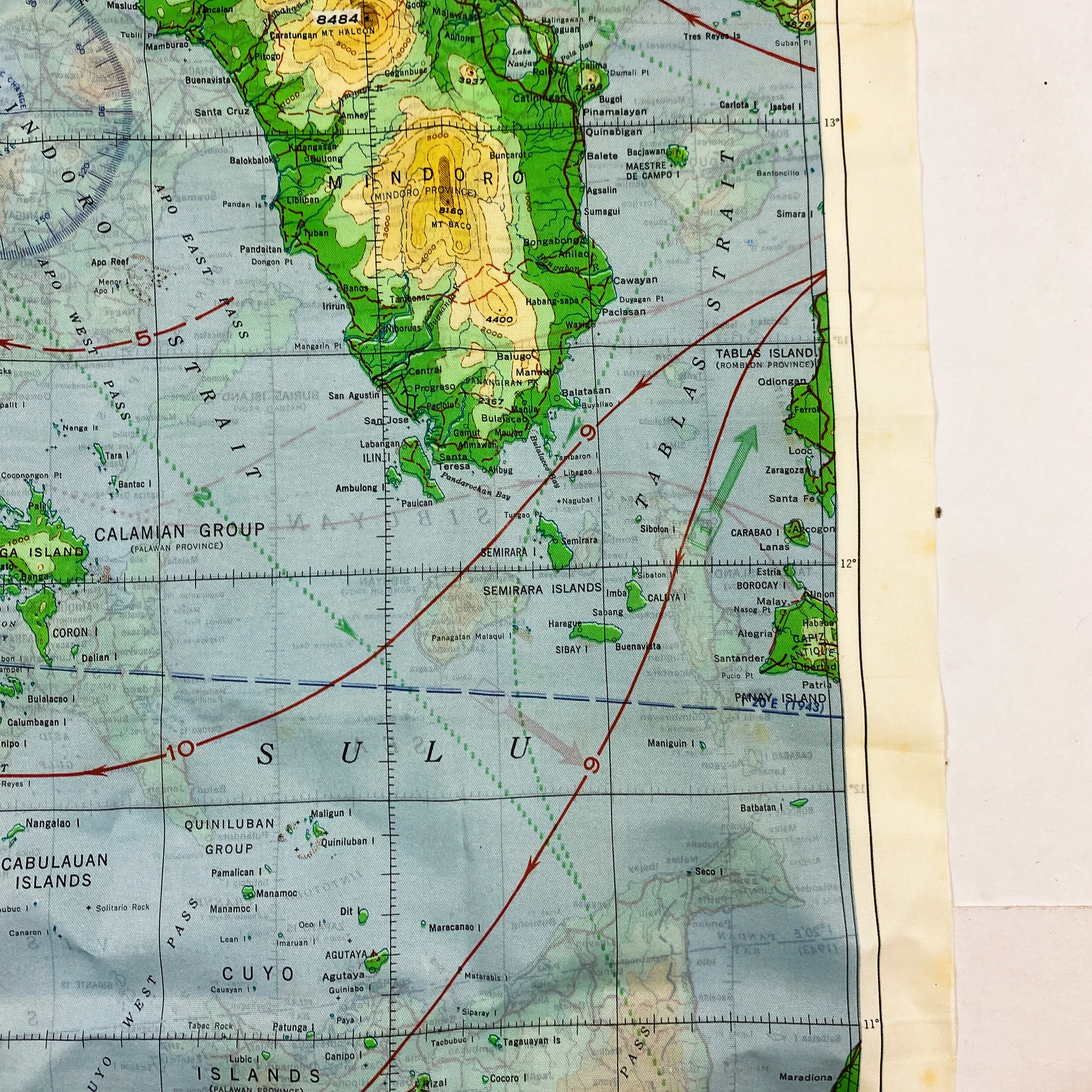
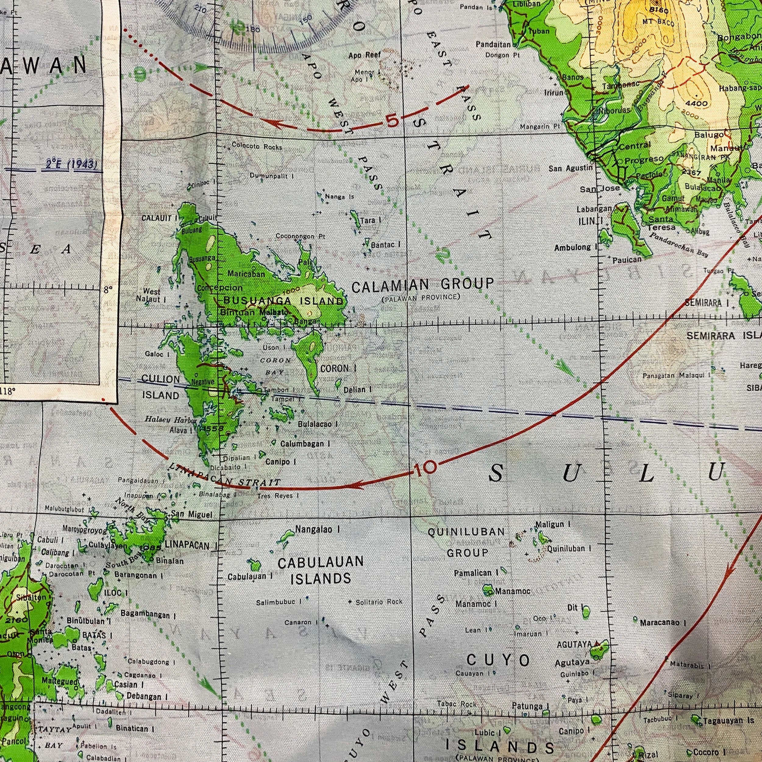
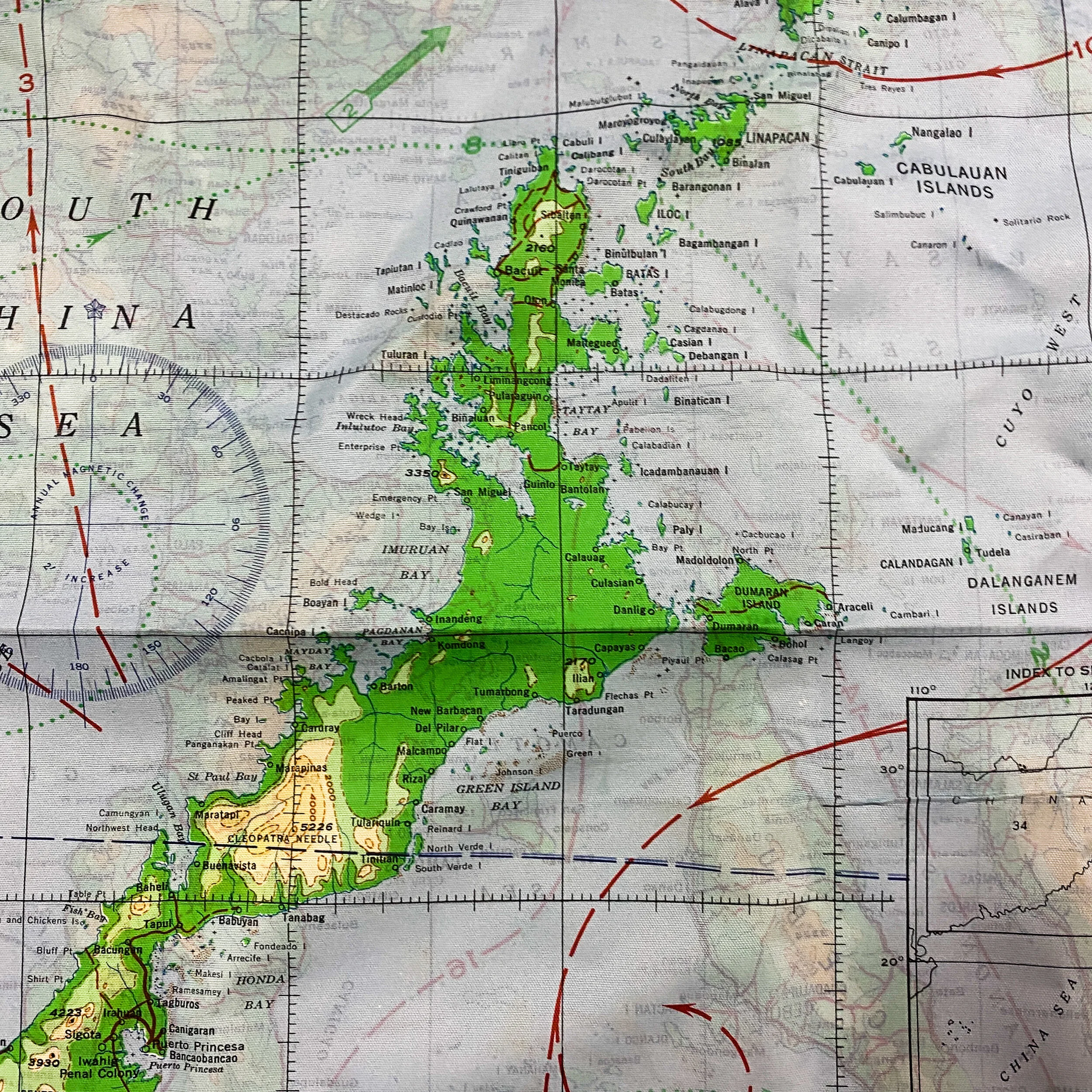
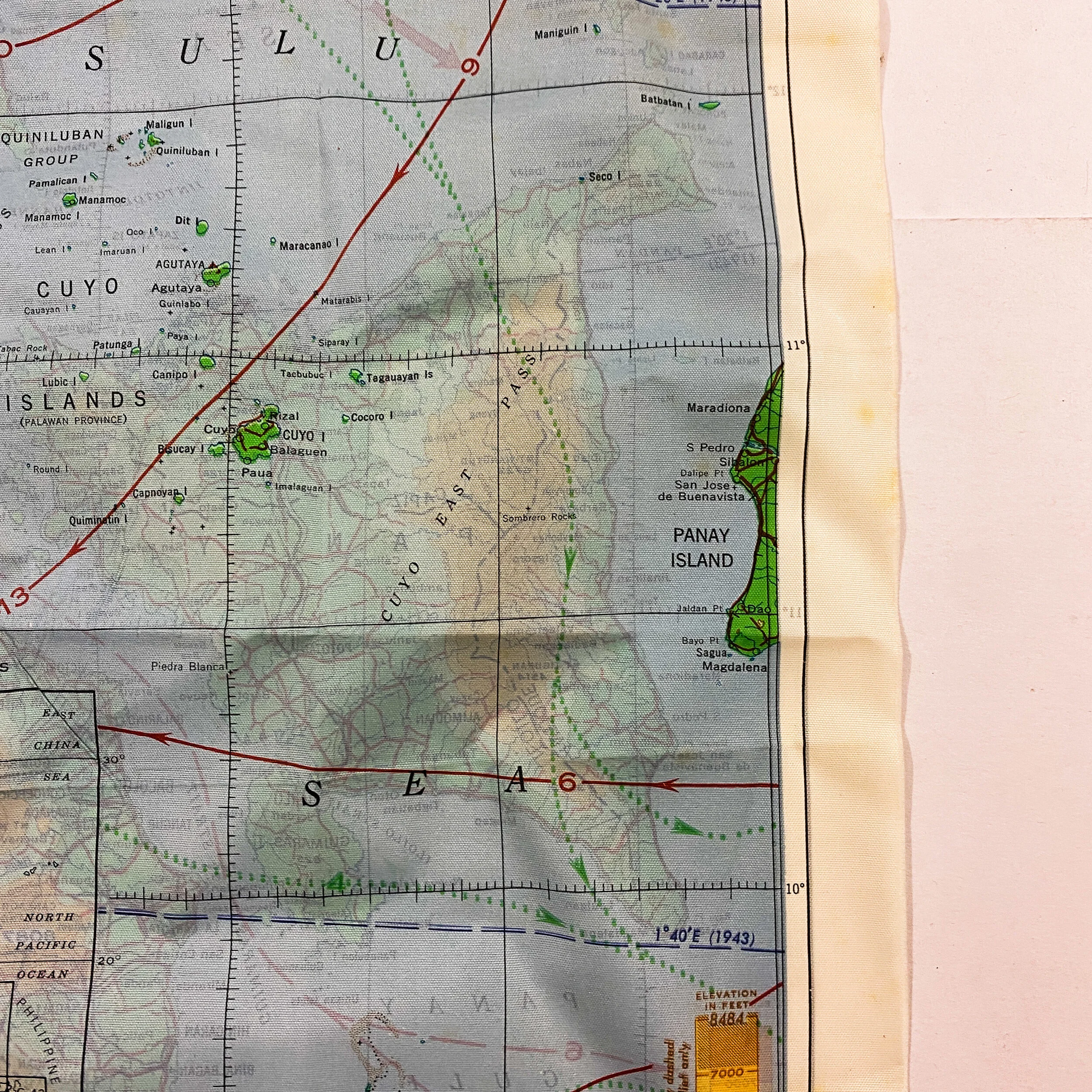
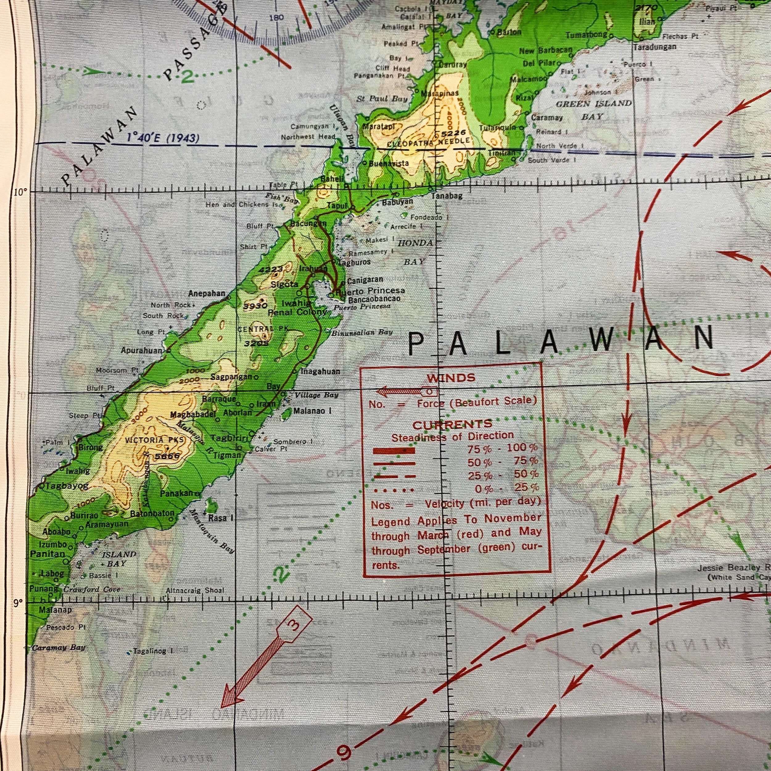
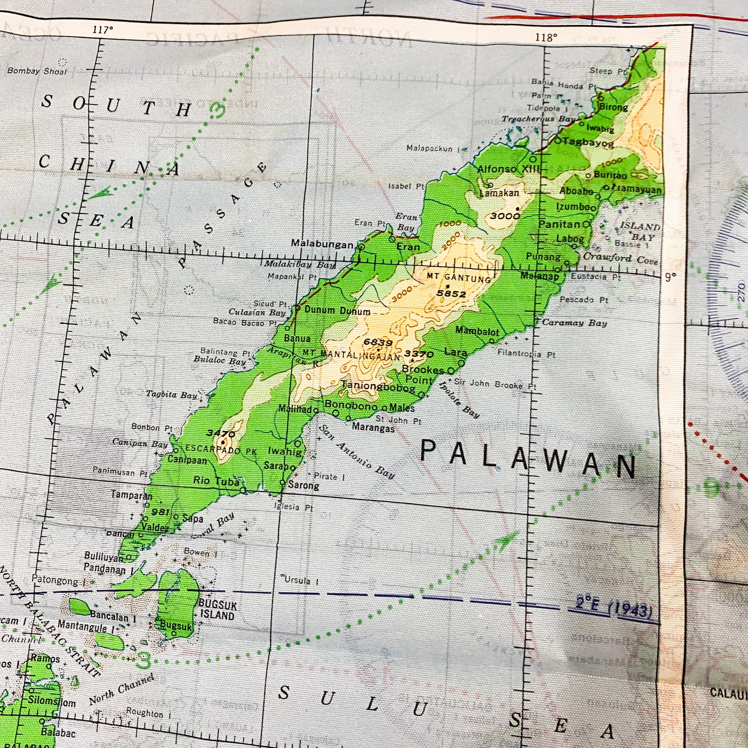
*Shows the geographical area of the Philippines Campaign (Battle of Leyte Gulf) were the infamous Battle of Samar, Battle of Tinaga, Battle of Sibuyan Sea, and the Battle of Bahol took place.
Size: 25.5 x 19.5 inches
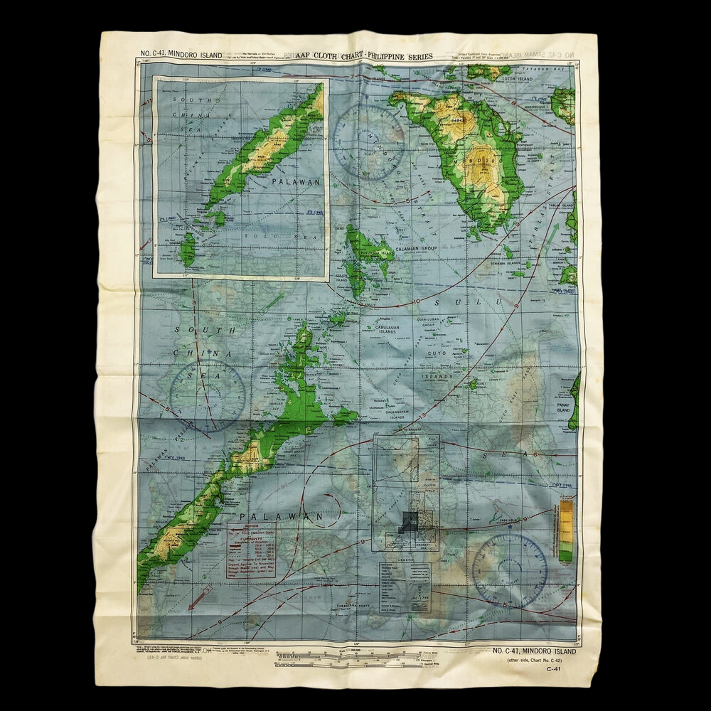
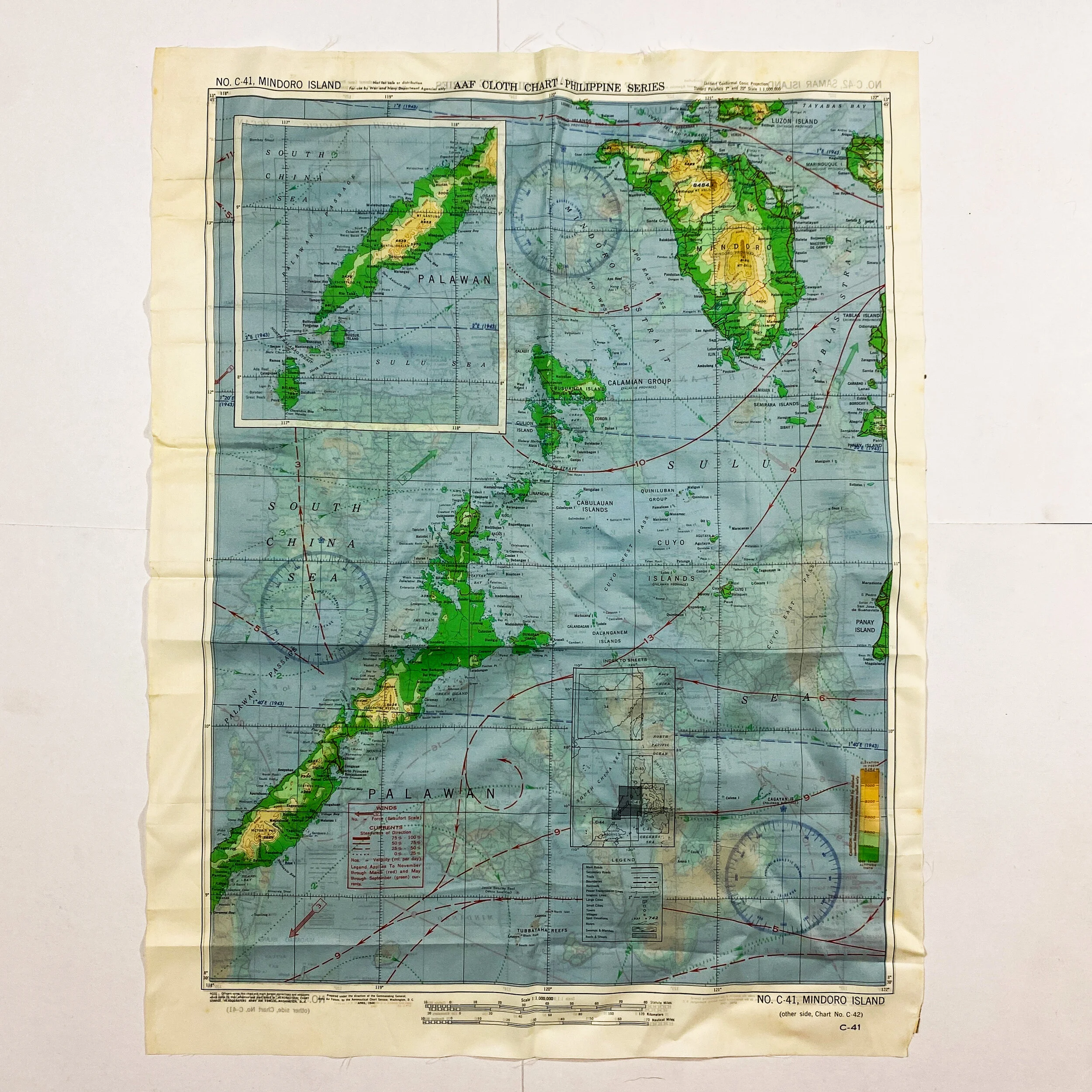
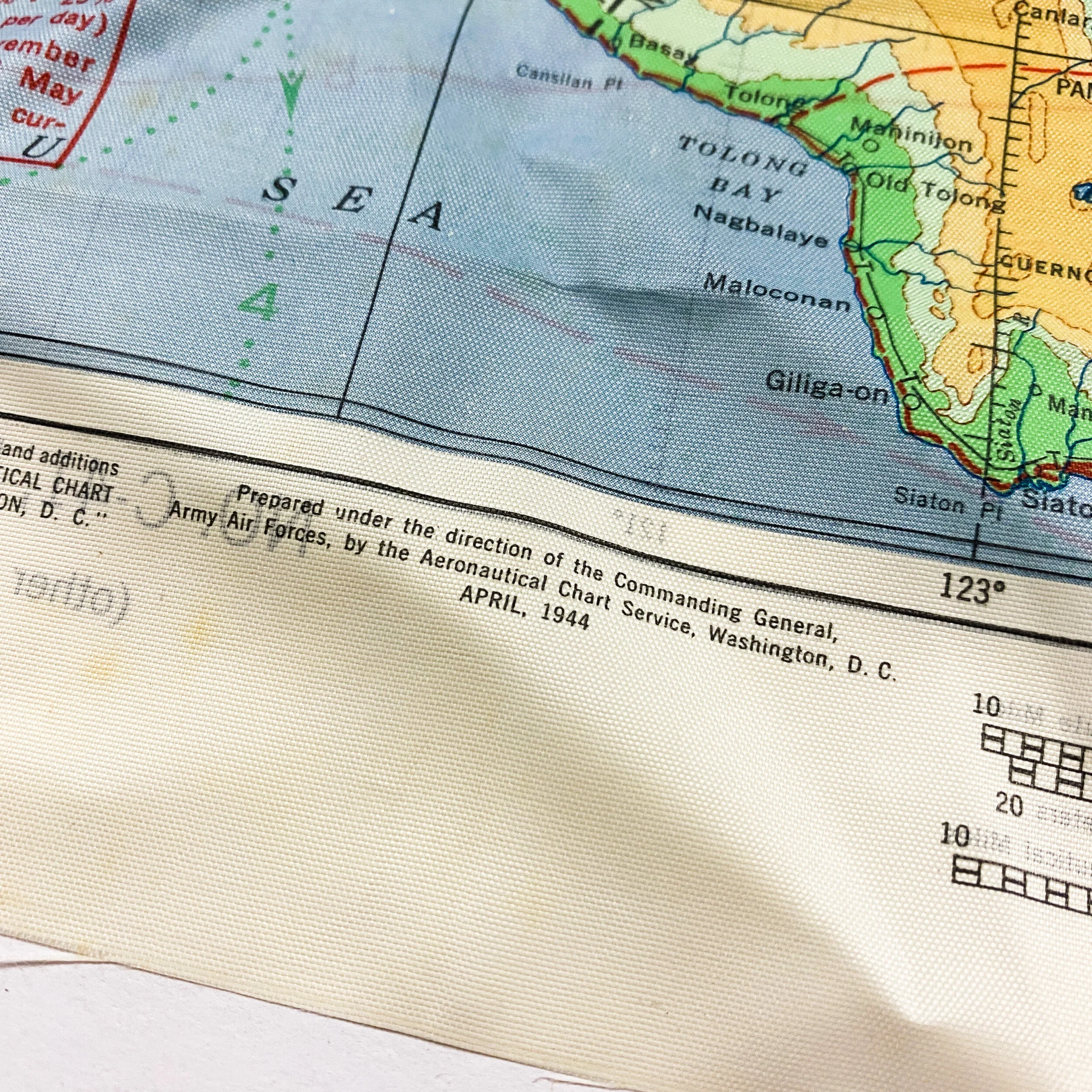
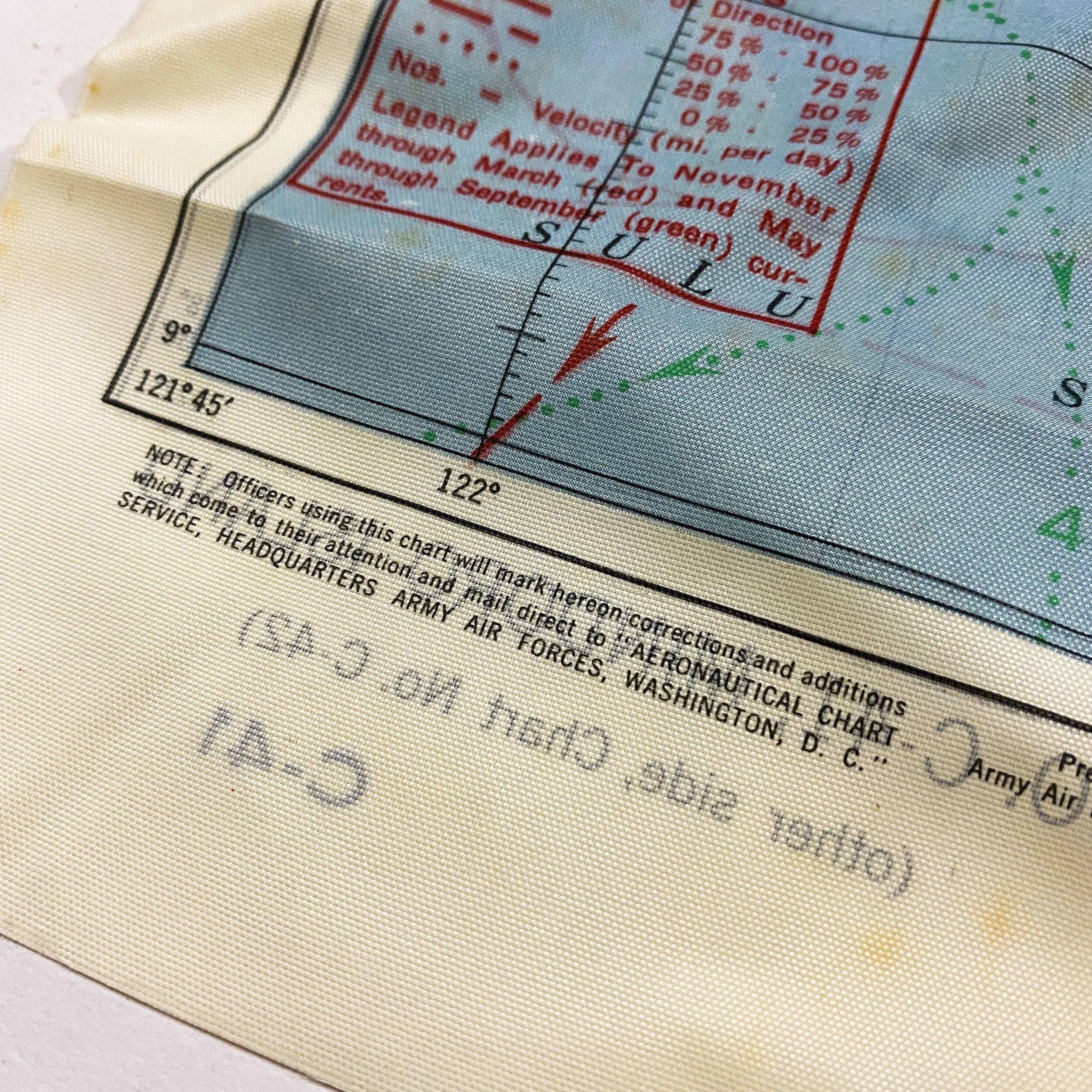
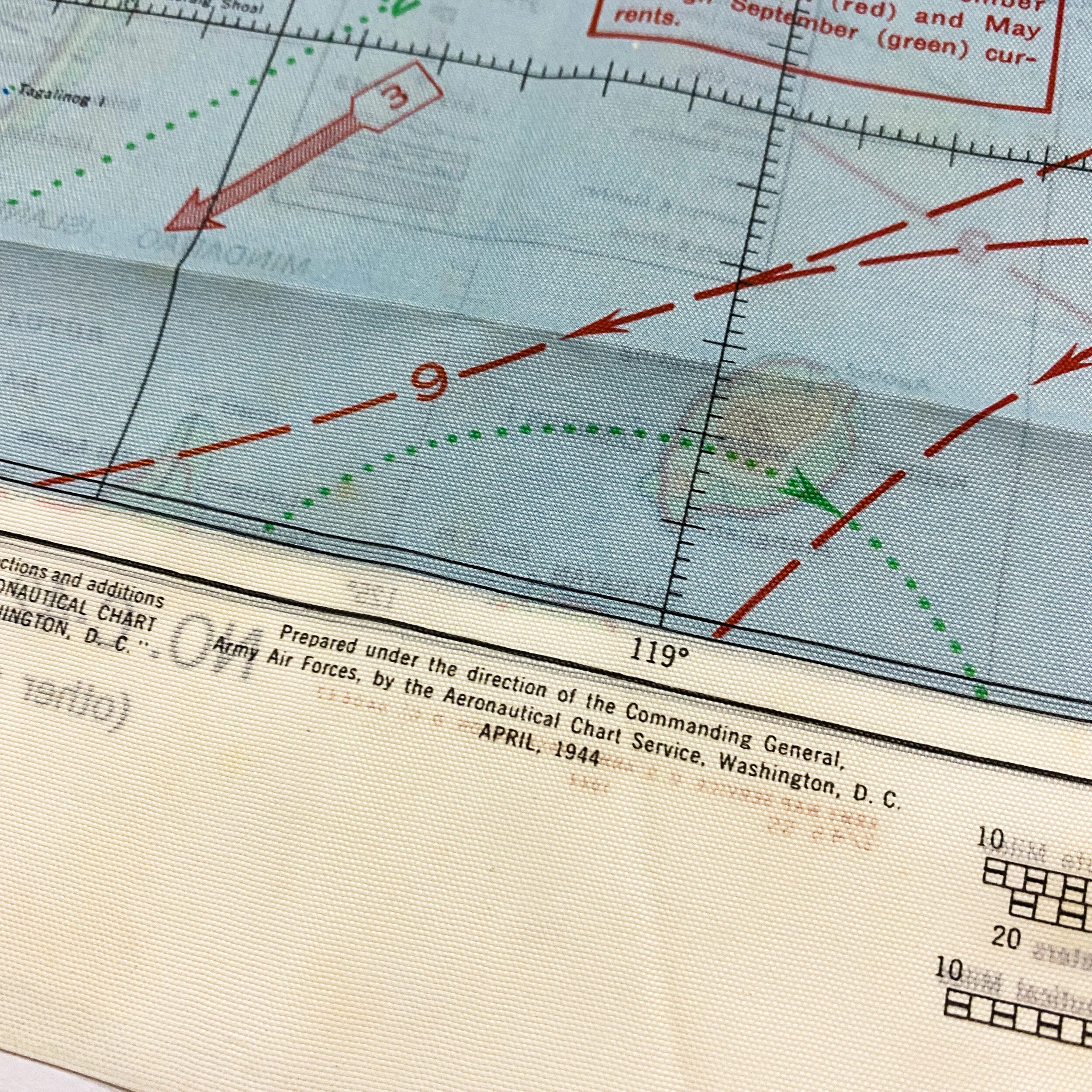
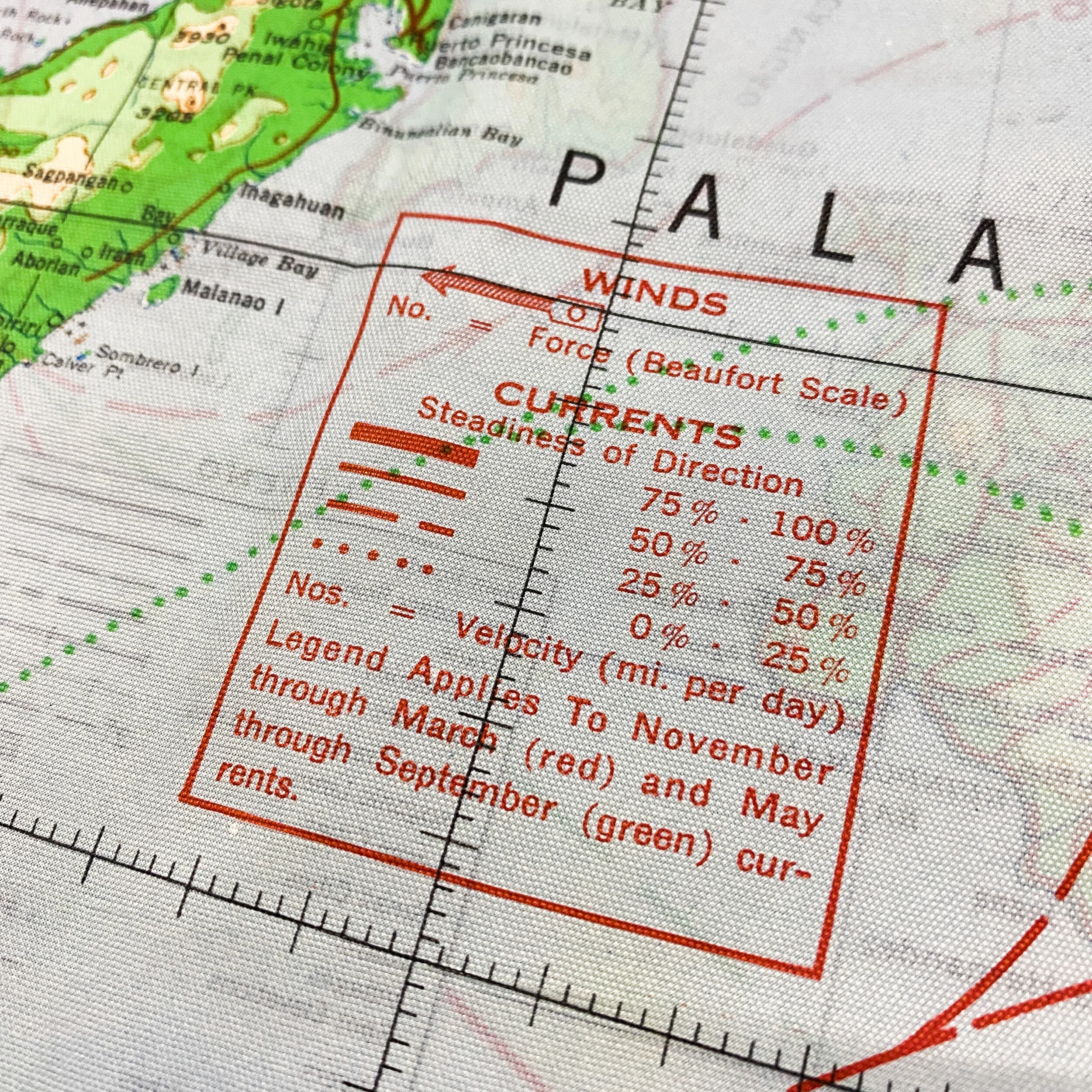
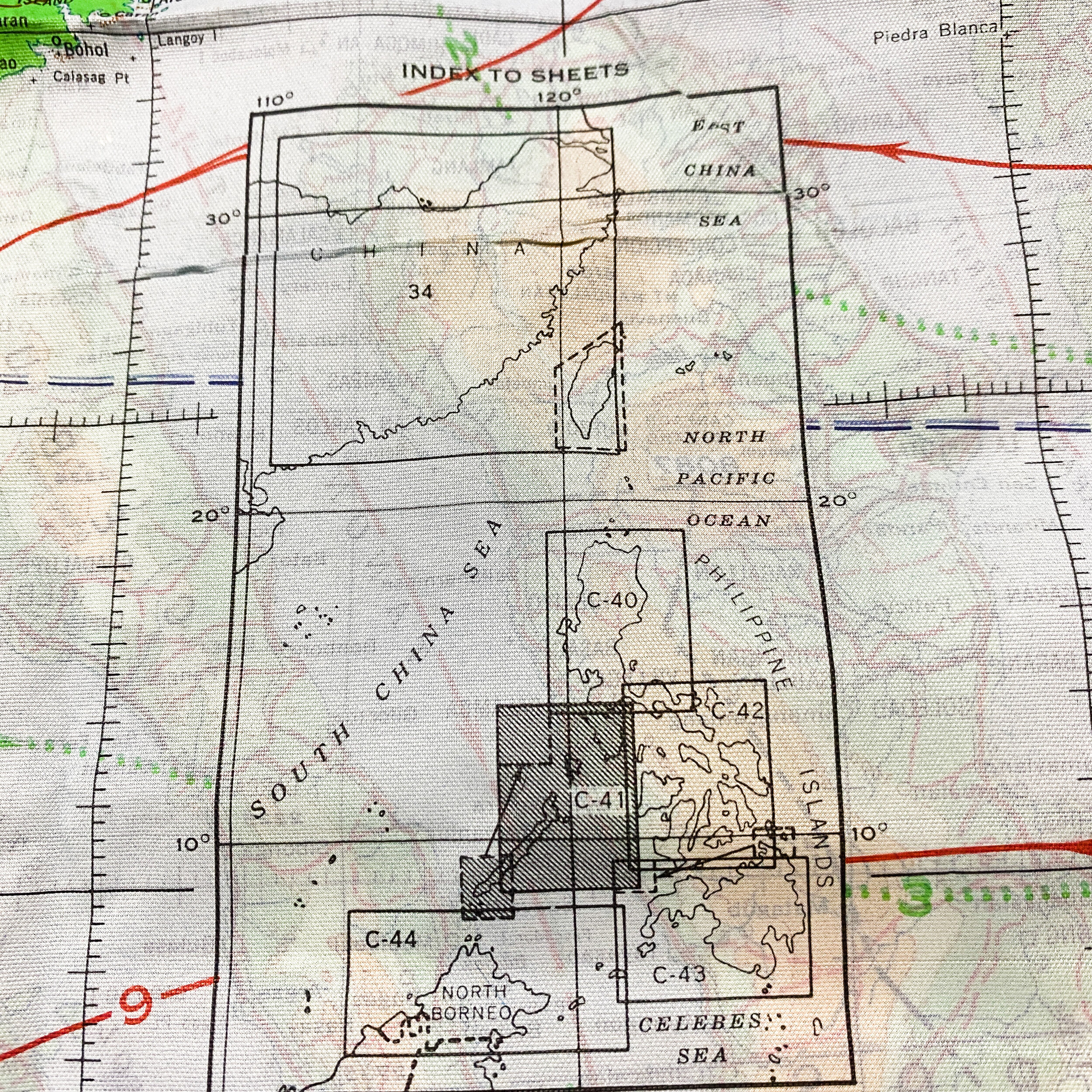
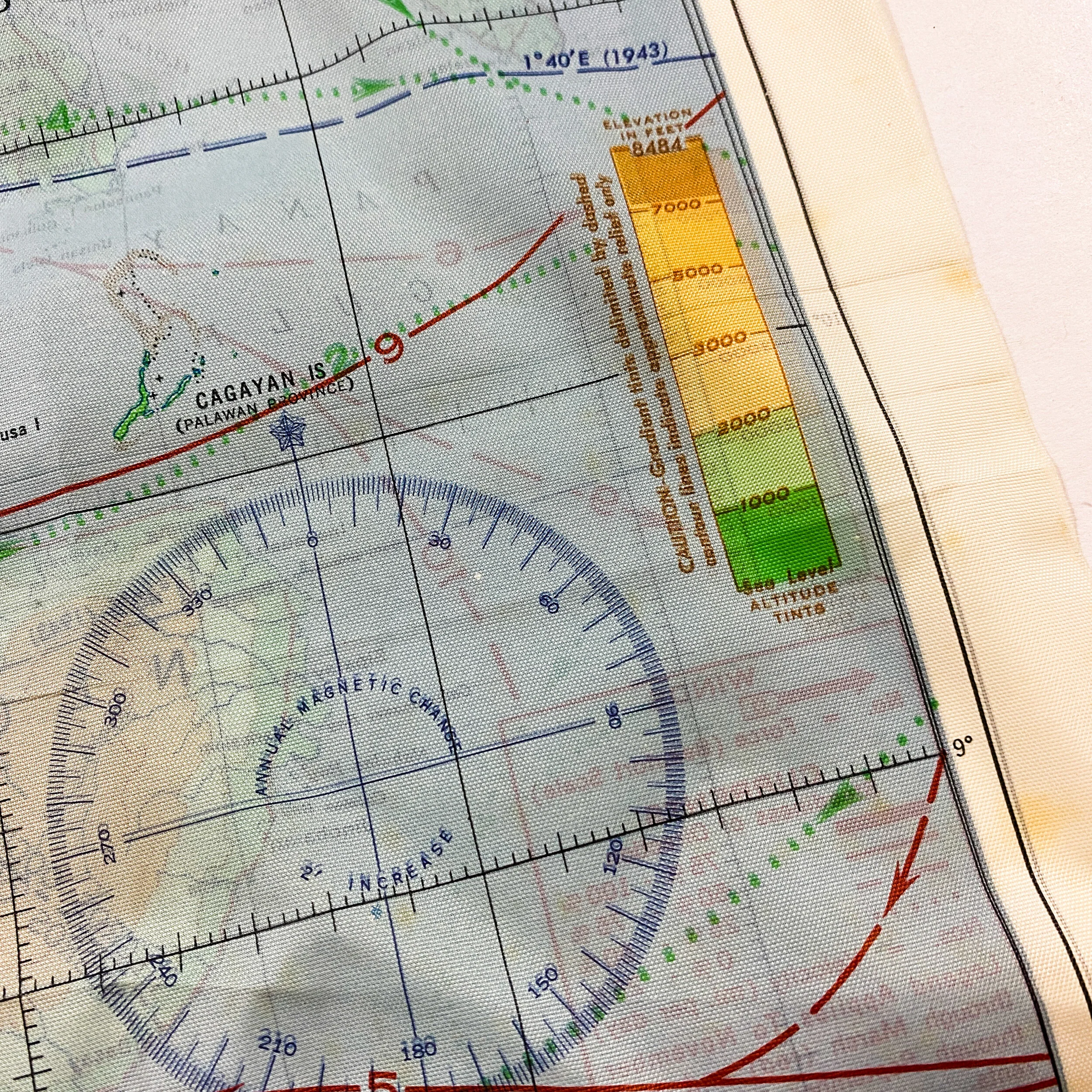
This April 1944 dated WWII Army Air Force (A.A.F) map was carried by an A.A.F. pilot or A.A.F. bomber crew members as the U.S. began assaulting the Philippines Islands against the Japanese. This map along with others like it were given out to pilots and crew and the U.S. began taking islands throughout the Pacific Theater. This double sided silk printed map shows map ‘C-41’ showing the area from Mindoro down to the Calamian island group, the Cabulauan Islands, and most of Palawan Island, with an inset of the southern end of Palawan Island. Showing rivers, mountain ranges, formed roads, boundaries, railroads, power transmission lines, cities, rivers, and spot elevation. Map ‘C-42’ escape map shown on the reverse side shows the South China Sea and the Philippines in the area of Luzon down to Panay, Negros, Cebu and Bohol islands. Showing winds and ocean currents in either red or green, depending on the season of the year. During WWII hundreds of thousands of maps were produced by the British on thin cloth and tissue paper. The idea was that a serviceman captured or shot down behind enemy lines should have a map to help him find his way to safety if he escaped or, better still, evade capture in the first place. This map is printed on a cloth like acetate rayon and depicts the islands and sea where some of the most infamous air and sea battles occurred in the Philippines Island campaign during World War II. These cloth charts were worn as neck kerchiefs by pilots during WWII as part of their survival gear. At the time this chart was produced our understanding of the jet stream was rudimentary. High altitude wind currents are shown though not in as much detail as a modern chart/map. Our USMC, Navy and even B-17, B-25 pilots and their crews learned that there were some very strong air currents aloft when their aircraft's times to targets took much longer than anticipated and the return trips went faster. This chart/map reflects the limited knowledge of the time but was a tremendous help to the pilots and crews nonetheless. The map itself would have been carried by a U.S. pilot participating in the sea and air offensives of the islands. This map may have very well been carried in the side map cases in the aircrafts flown off of the aircraft carriers ( FM-2 Wildcats, F6F Hellcats and TBM Avengers) and used to directional flight paths to their objectives.
This map shows the centermost action of the Battle of Leyte Gulf, one of the largest naval battles in history, which took place in the Philippine Sea off Samar Island, in the Philippines on October 25, 1944. It was the only major action in the larger battle in which the Americans were largely unprepared. The Battle off Samar has been cited by historians as one of the greatest last stands in naval history.
History of the Battle of Samar:
Admiral William Halsey, Jr. was lured into taking his powerful 3rd Fleet after a decoy fleet, taking with him every ship in the area that he had the power to command. The remaining American forces in the area were three escort carrier groups of the 7th Fleet. The escort carriers and destroyer escorts which had been built to protect slow convoys from submarine attack had been adapted to attack ground targets and had few torpedoes, as they normally relied on Halsey's fleet to protect them from armored warships.
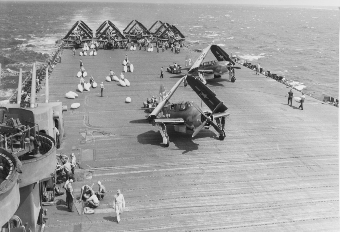
A Japanese surface force of battleships and cruisers – led by the super battleship Yamato, the largest and most-heavily gunned ship afloat – had been battered earlier in the larger battle and was thought to have been in retreat. Instead it had turned around unobserved and encountered the northernmost of the three groups, Task Unit 77.4.3 ("Taffy 3"), commanded by Rear Admiral Clifton Sprague. Taffy 3's three destroyers and four destroyer escorts possessed neither the firepower nor the armor to oppose the 23 ships of the Japanese force capped by the Yamato's 18-inch guns but attacked anyway with 5"/38 caliber guns and torpedoes to cover the retreat of their slow "jeep" carriers. Aircraft from the carriers of Taffy 1, 2, and 3, including FM-2 Wildcats, F6F Hellcats and TBM Avengers, strafed, bombed, torpedoed, rocketed, depth-charged, fired at least one .38 caliber handgun and made numerous "dry" runs at the Japanese force when they ran out of ammunition.
The force lost two escort carriers, two destroyers, a destroyer escort and several aircraft. Over a thousand Americans died, comparable to the combined losses of American men and ships at the Coral Sea and Midway. The Americans sank three Japanese cruisers, disabled another three and caused enough confusion to persuade the Admiral Kurita to regroup and ultimately withdraw, rather than advancing to sink troop and supply ships in Leyte Gulf. In the combined Battle of Leyte Gulf, 10,000 Japanese sailors and 3,000 Americans died. Although the battleship Yamato and the remaining force returned to Japan, the battles marked the final defeat of the Imperial Japanese Navy, as the ships remained in port for most of the rest of the war and ceased to be an effective naval force.
Airplane use during the Philippines Campaign:
Aircraft carrier-based warplanes were already conducting air strikes and fighter sweeps against the Japanese in the Philippines, especially their military airfields. U.S. Army and Australian Army troops under the American General Douglas MacArthur, the Supreme Commander of the Southwest Pacific Theater of Operations, had either overrun, or else isolated and bypassed, all of the Japanese Army on New Guinea and the Admiralty Islands. Before the invasion of the Philippines, MacArthur's northernmost conquest had been at Morotai in the Dutch East Indies on September 15–16, 1944. This was MacArthur's one base that was within bomber range of the southern Philippines.
U.S. Navy, Marine Corps, and Army as well as Australian and New Zealand forces under the command of Admiral Nimitz and Admiral William F. Halsey, Jr. had isolated the large Japanese South Pacific base at Rabaul, New Britain, by capturing a ring of islands around Rabaul, and then building air bases on them from which to bomb and blockade the Japanese forces at Rabaul into military impotence.
With victories in the Marianas campaign (on Saipan, on Guam, and on Tinian, during June and July 1944), American forces were getting close to Japan itself. From the Marianas, the very long-range B-29 Superfortress heavy bombers of the U.S. Army Air Forces (USAAF) could bomb the Japanese home islands from well-supplied air bases – ones with direct access to supplies via cargo ships and tankers. (The earlier B-29 bombing campaign against Japan had been from the end of a very long and tortuous supply line via British India and British Burma – one that proved to be woefully inadequate. All B-29s were transferred to the Marianas during the fall of 1944.)
Although Japan was obviously losing the war, the Japanese Government, and the Imperial Japanese Army and Navy, showed no sign of capitulation, collapse or surrender.
There had been a close relationship between the people of the Philippines and the United States since 1898, with the Philippines becoming the Commonwealth of the Philippines in 1935, and promised their independence in mid-1946. Furthermore, an extensive series of air attacks by the American Fast Carrier Task Force under Admiral William F. Halsey against Japanese airfields and other bases on the Philippines had drawn little Japanese opposition, such as interceptions by Japanese Army fighter planes. Upon Admiral Halsey's recommendation, the Combined Chiefs of Staff, meeting in Canada, approved a decision to not only move up the date for the first landing in the Philippines, but also to move it north from the southernmost island of Mindanao to the central island of Leyte, Philippines. The new date set for the landing on Leyte, October 20, 1944, was two months before the previous target date to land on Mindanao.