1940 "English Channel" - Royal Air Force Bomber Command - Gee Lattice Navigator Air Map Chart -
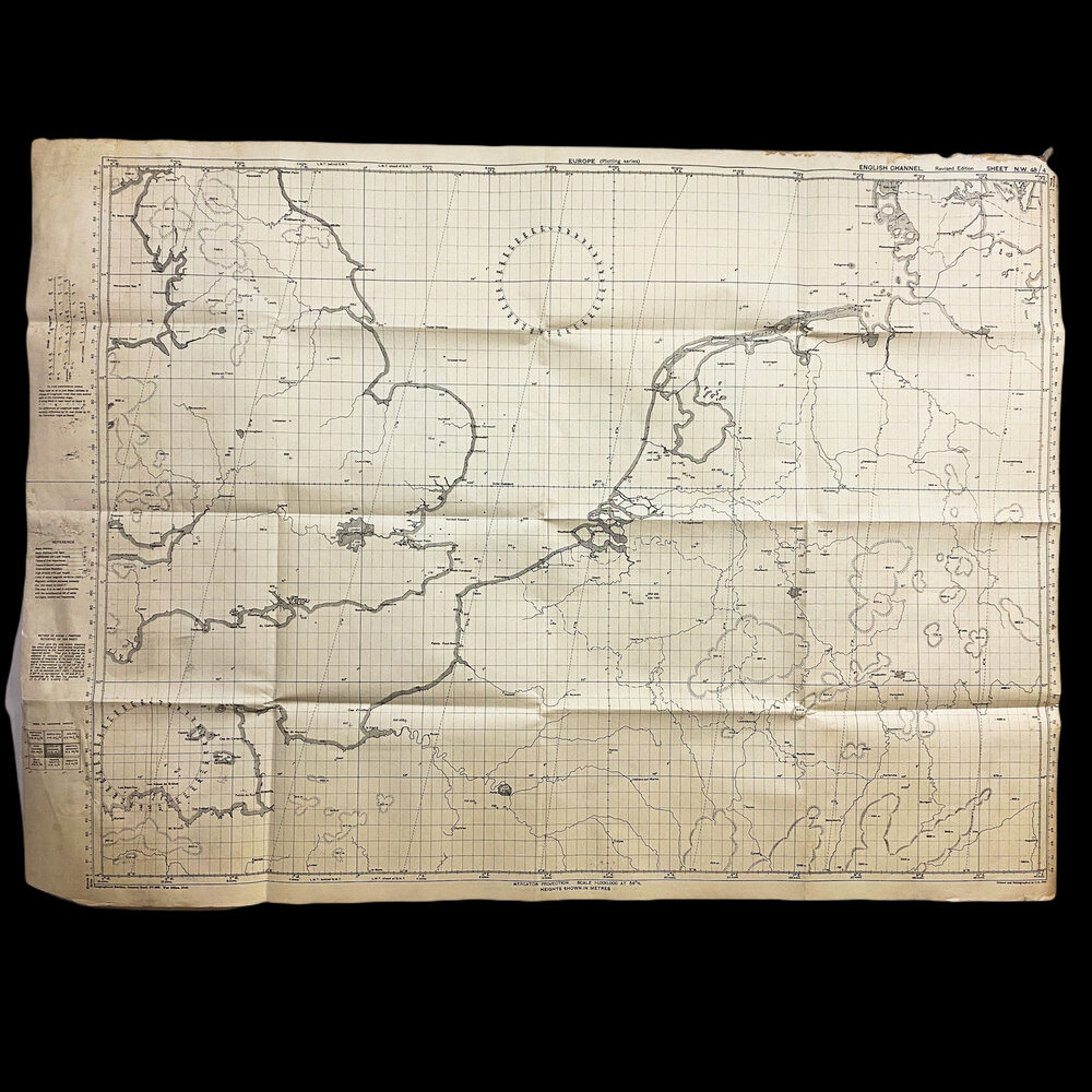
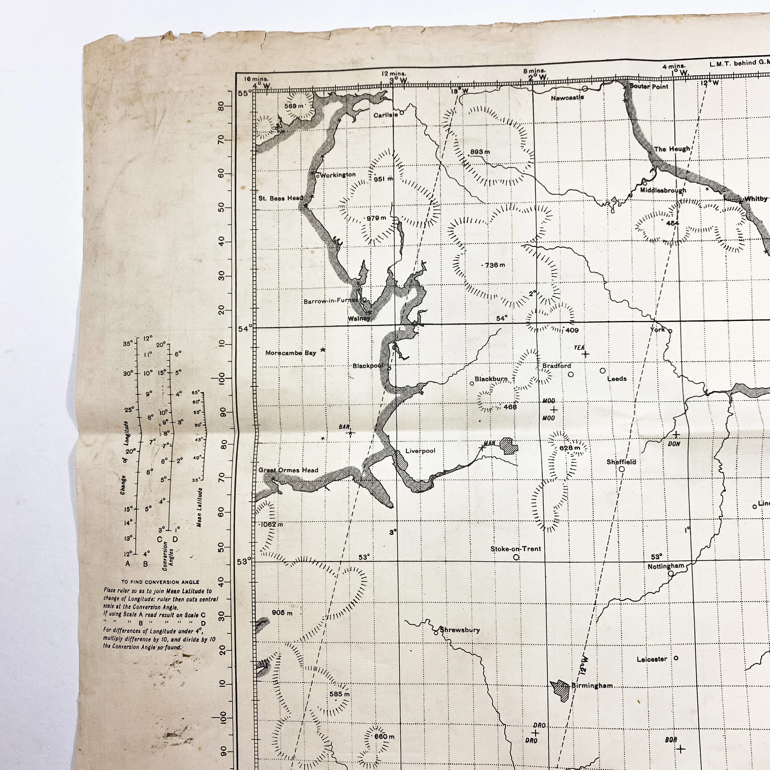
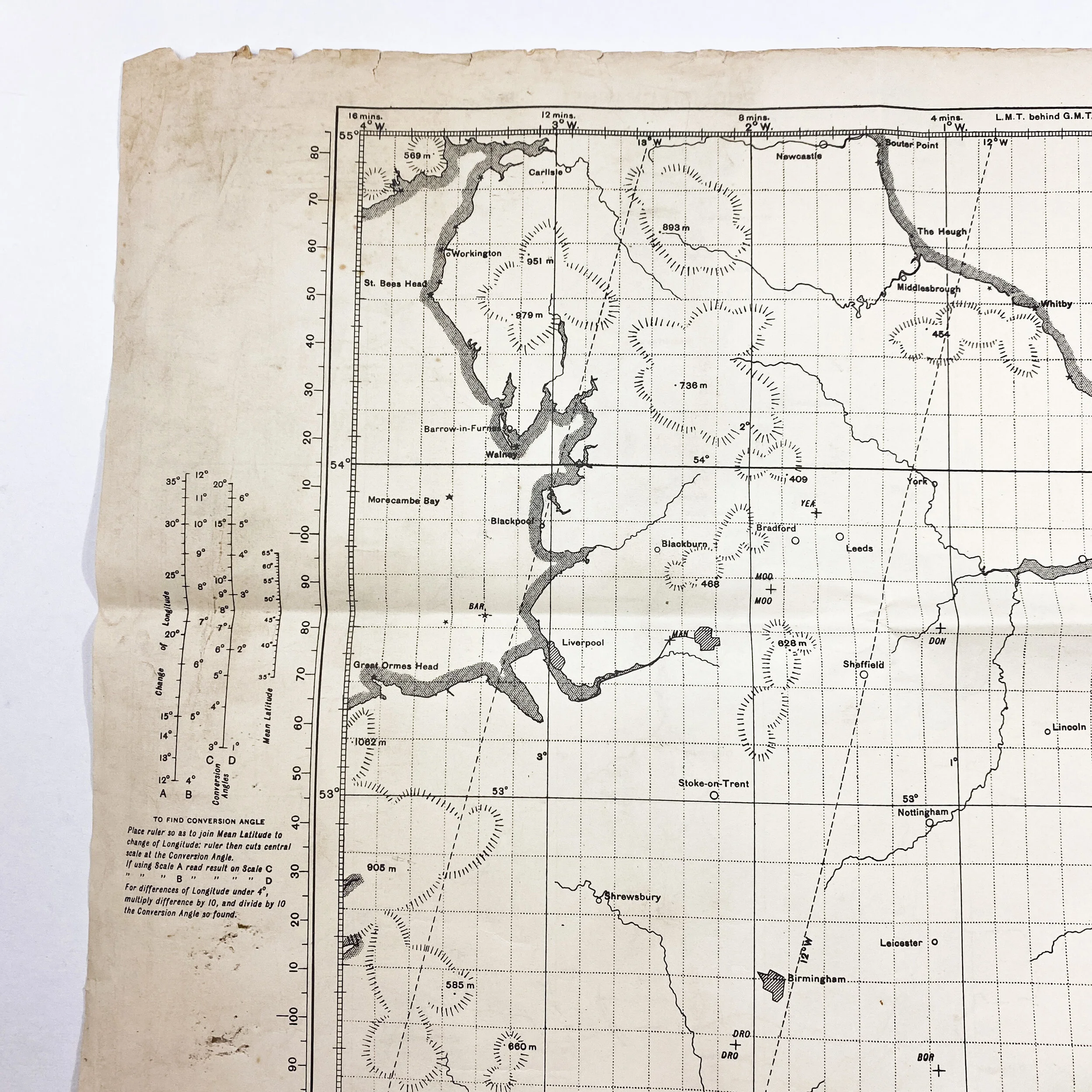


1940 "English Channel" - Royal Air Force Bomber Command - Gee Lattice Navigator Air Map Chart -
Size: 30 x 41 inches
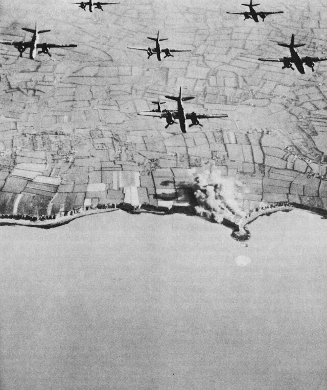
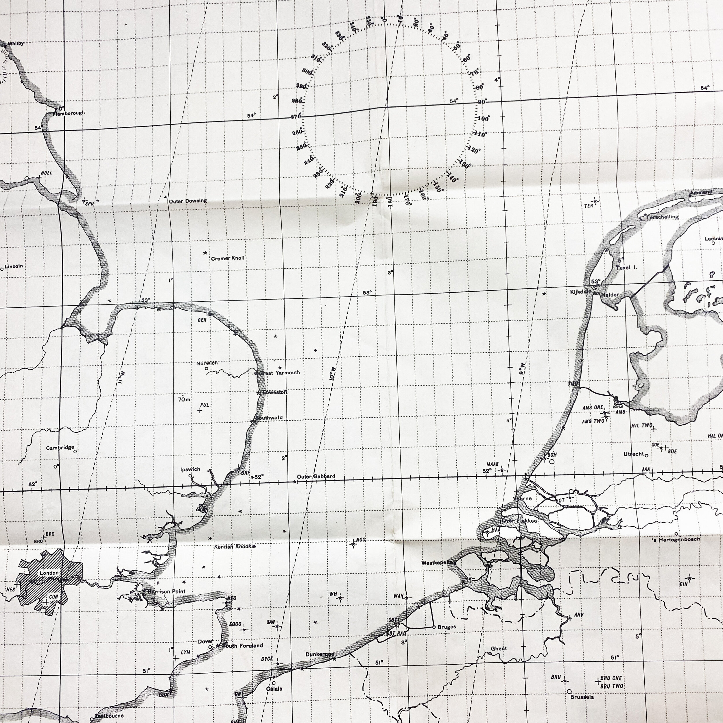
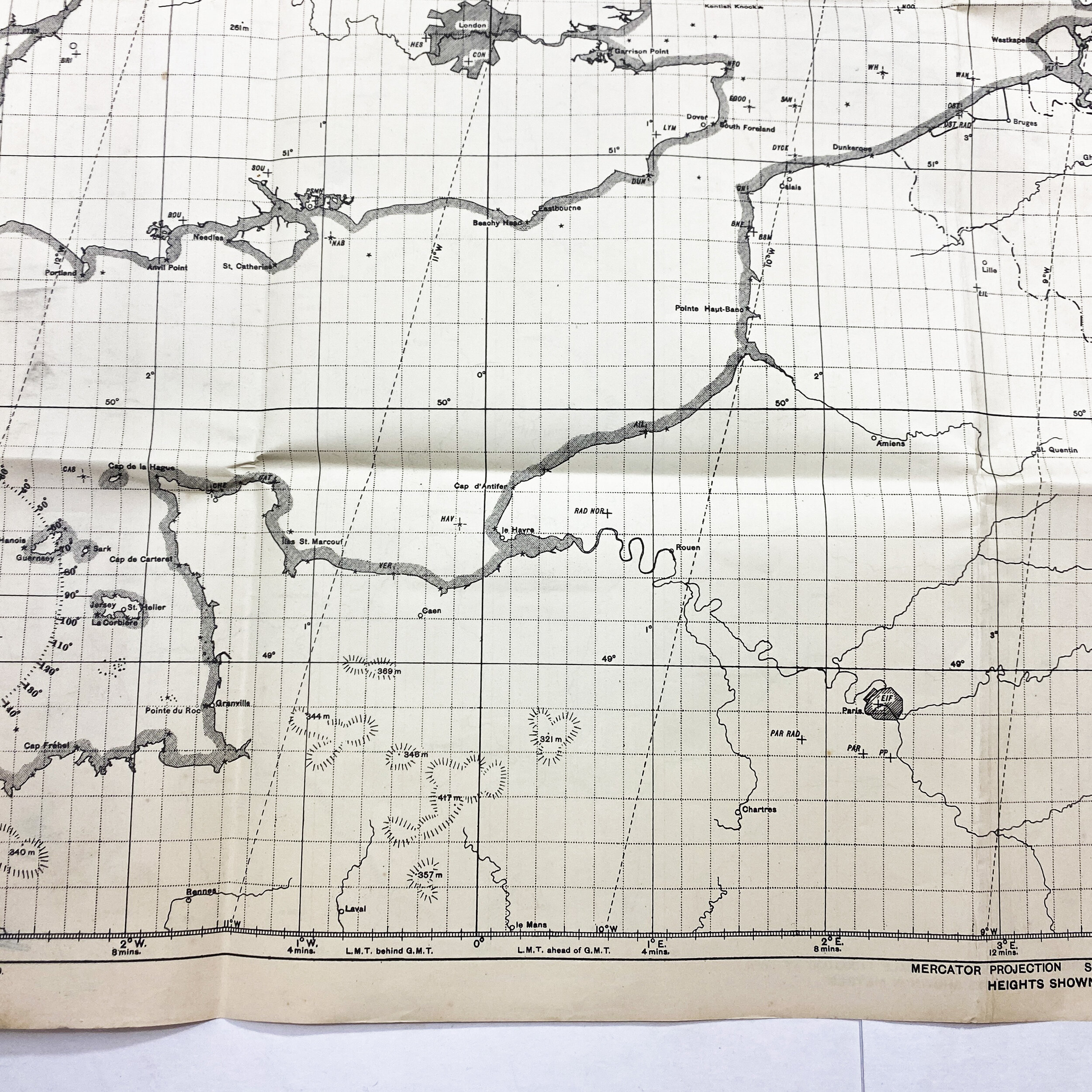
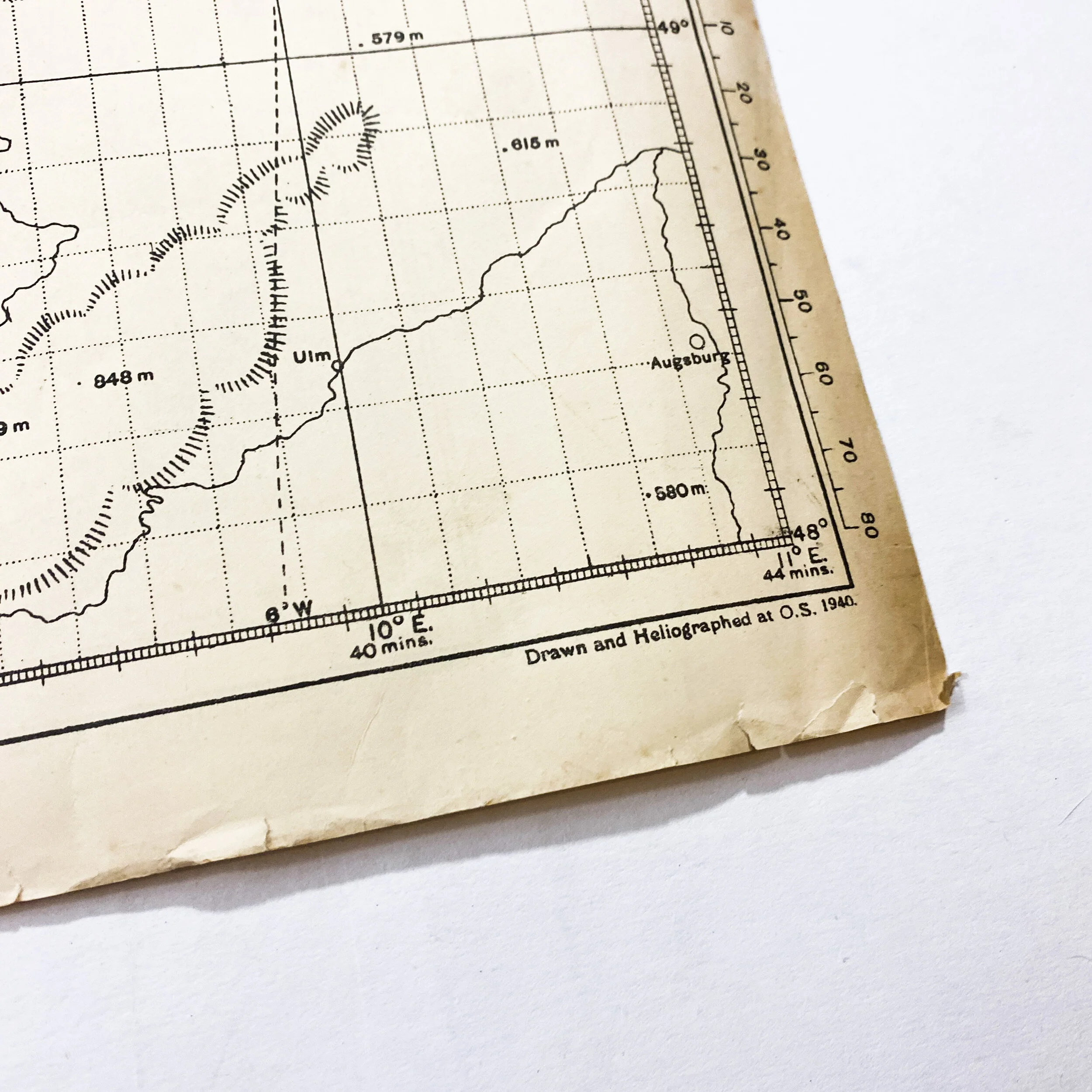
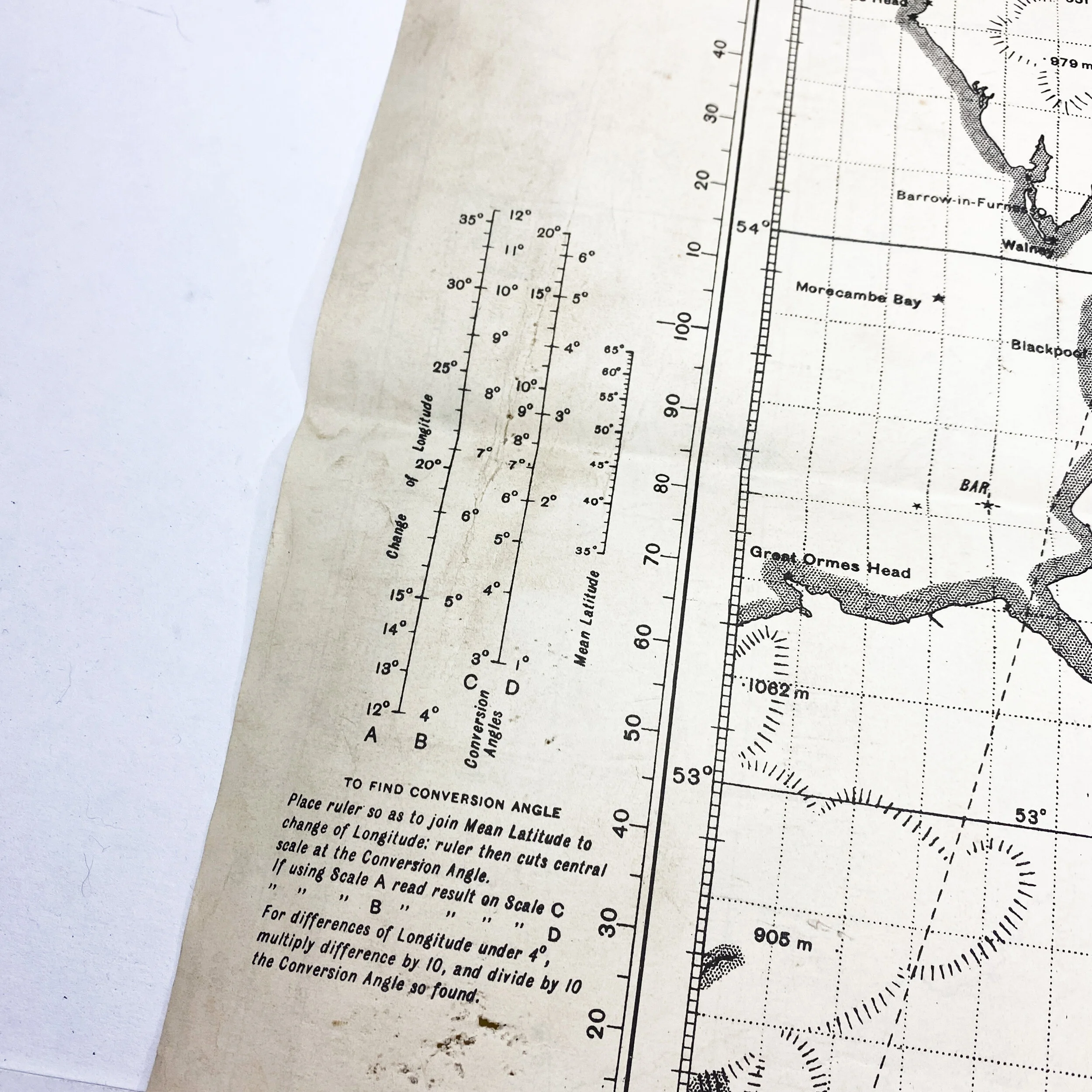
Titled “Europe (Plotting Series) - English Channel”, this early World War II 1940 War Office printed map was used Allied (Royal) aircrews and bombing navigators when crossing the English Channel on bombing and transport missions to France and German. This map is Geographical Section - General Staff No. 4080. Aircrews carried these charts to determine lines of position using a Gee receiver and oscilloscope. The Royal Air Force (RAF) established new chains as the Allies advanced further into German occupied France and Europe both before and after the Allied D-Day landing in Normandy. An operator/navigator using this chart could determine a fix using two or three lines of position within three or four minutes. Gee was a hyperbolic system that provided short range navigation and bombing guidance over Britain, western Europe and the northern Mediterranean during World War II. Developed by the British Telecommunications Research Establishment (TRE) under the technical guidance of Robert G. Dippy, the system guided ships and larger aircraft (bombers, transports, reconnaissance aircraft, and night fighters) to accuracies of a statute mile or better at ranges up to four hundred statute miles. Both the Royal Air Force Bomber Command and American VIII Bomber Command depended extensively on the technology. A blind bombing system called Gee-H (or GH) used the Gee transmitters along with modified aircraft equipment to create a transponder system that could guide bombers at night or in cloud to within several hundred yards of a target.
Because of this maps early war date of 1940 it was most likely first used by the Royal Air Force Bomber Command with a possible sharing of navigation charts to the American VIII Bomber Command as the Allied began to expand their growth in Europe. Map features elements and geographical region seen in the Battle of Britain, D-Day and the Normandy coast, as well as Paris, Dunkirk and the final push into Germany. This map is double sides and shows the same image and mapping on both sides.
Another version of this exact map is also featured in the collection of the National Air and Space Museum, Smithsonian Institution.