VERY RARE! WWII 1944 Operation Reckless Task Force Jautefa Bay - New Guinea "SPECIAL INVASION MAP" Assault on Hollandia and Sentani Airfields











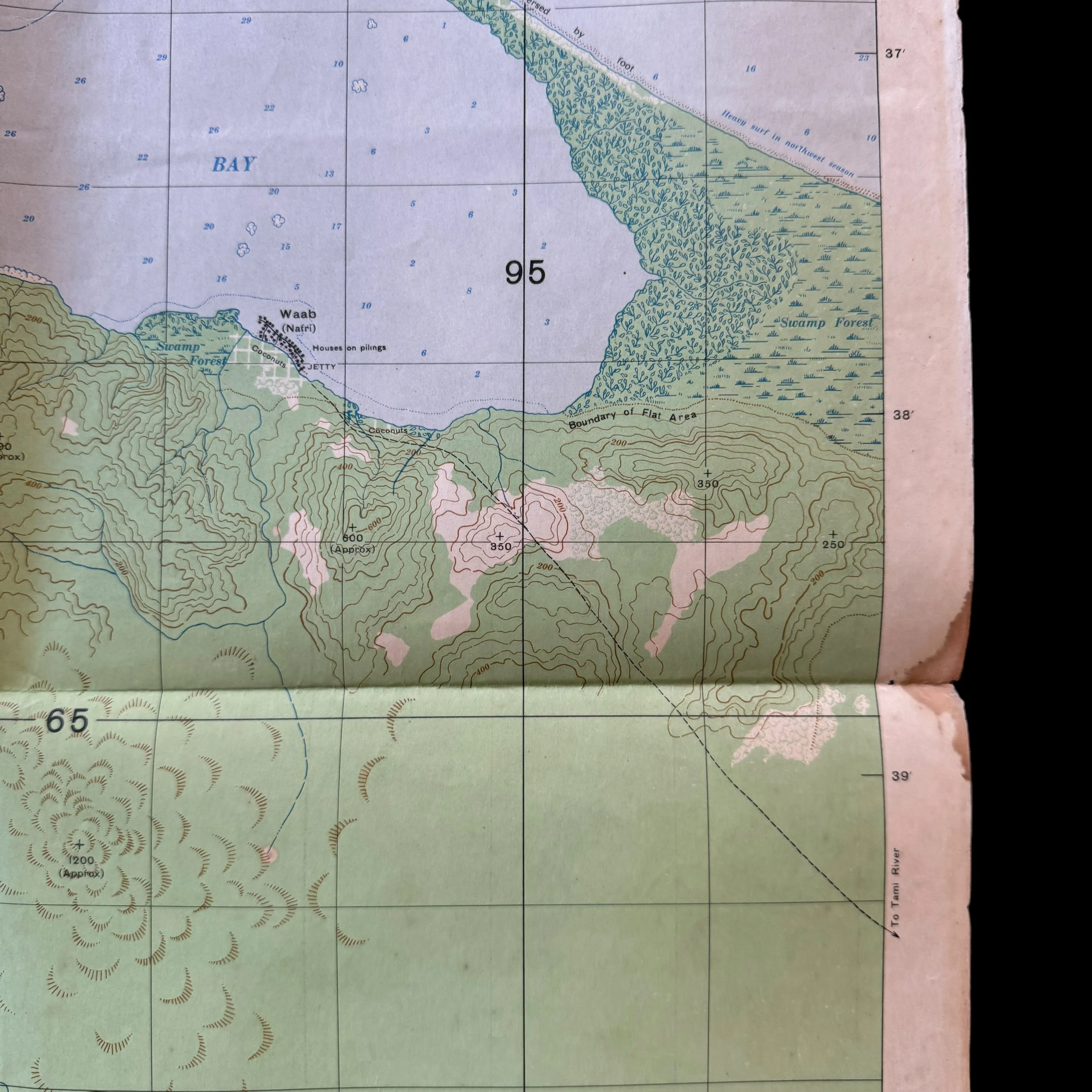


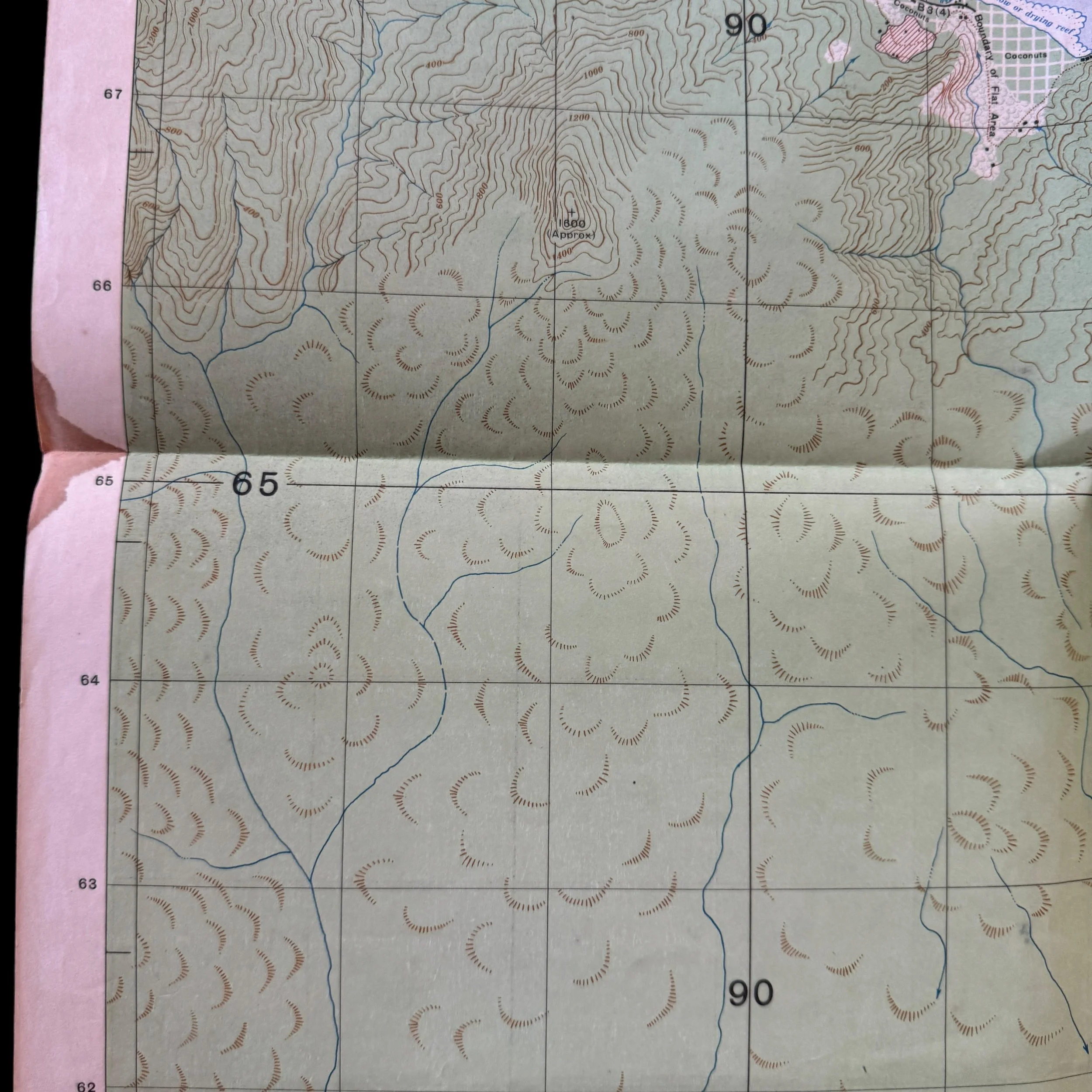


VERY RARE! WWII 1944 Operation Reckless Task Force Jautefa Bay - New Guinea "SPECIAL INVASION MAP" Assault on Hollandia and Sentani Airfields
Comes with a hand-signed C.O.A.
Size: 20 x 22 inches
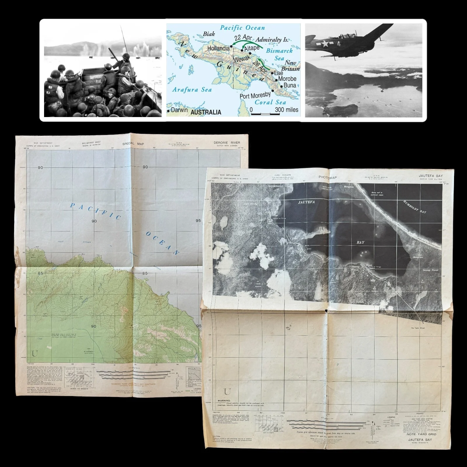
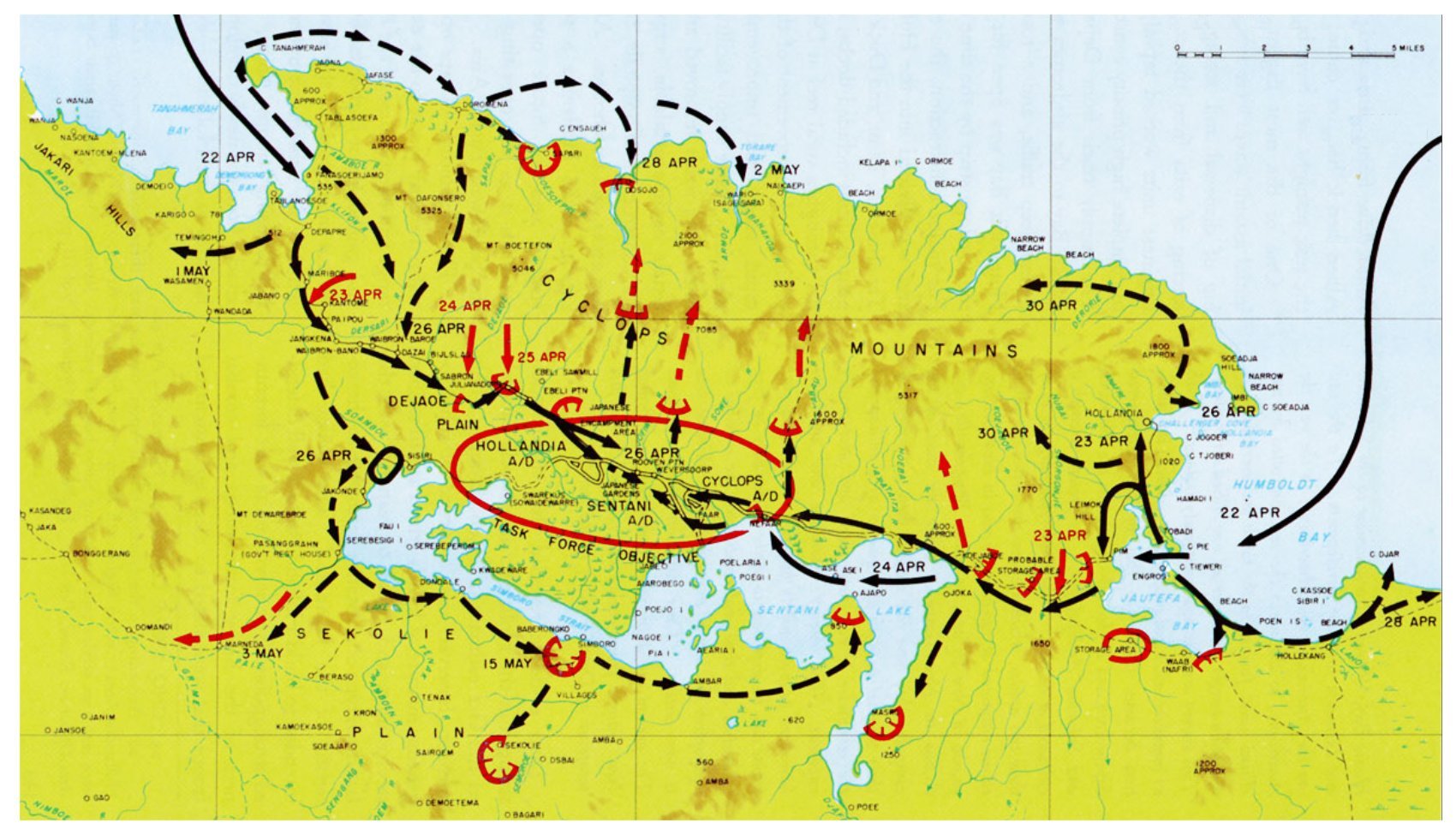
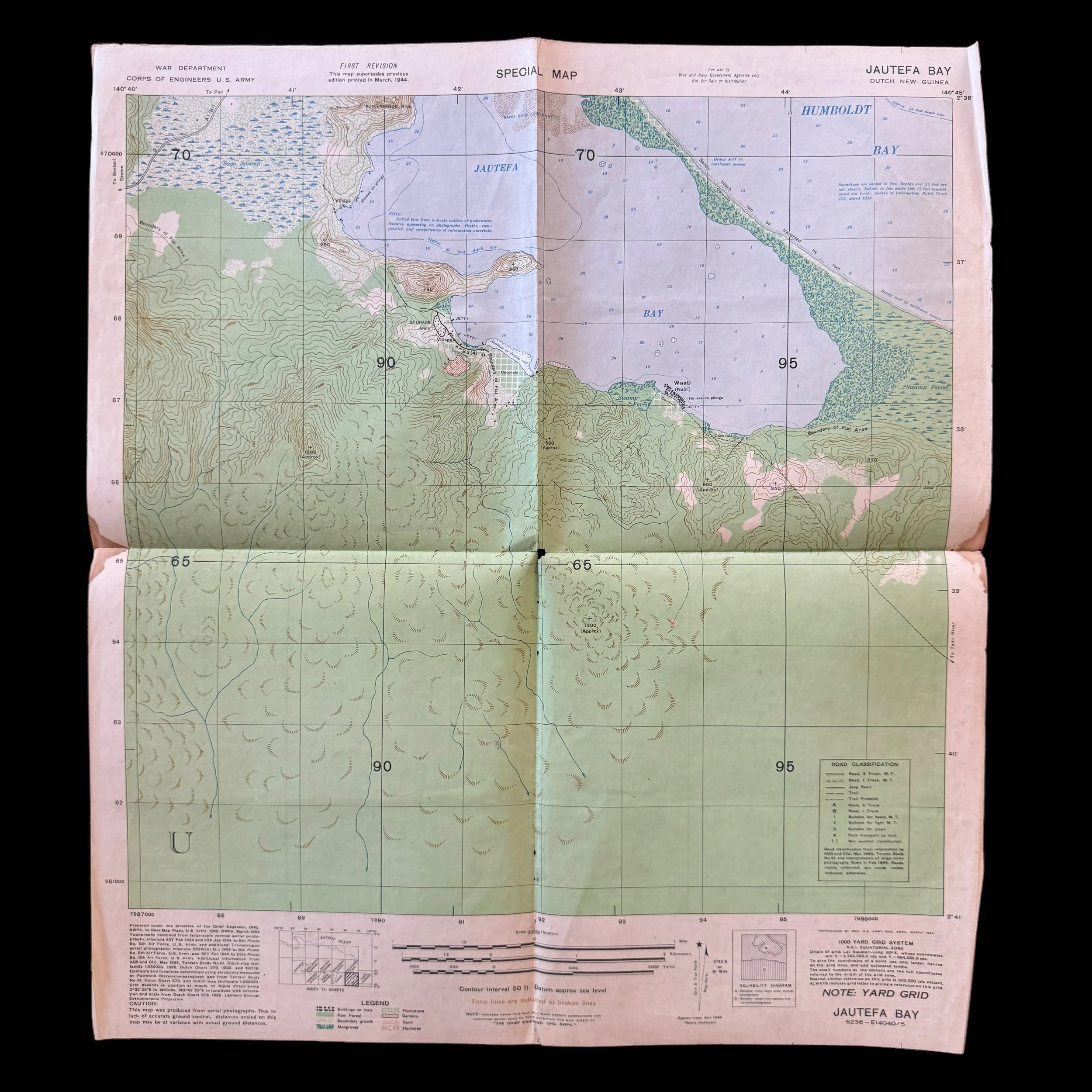
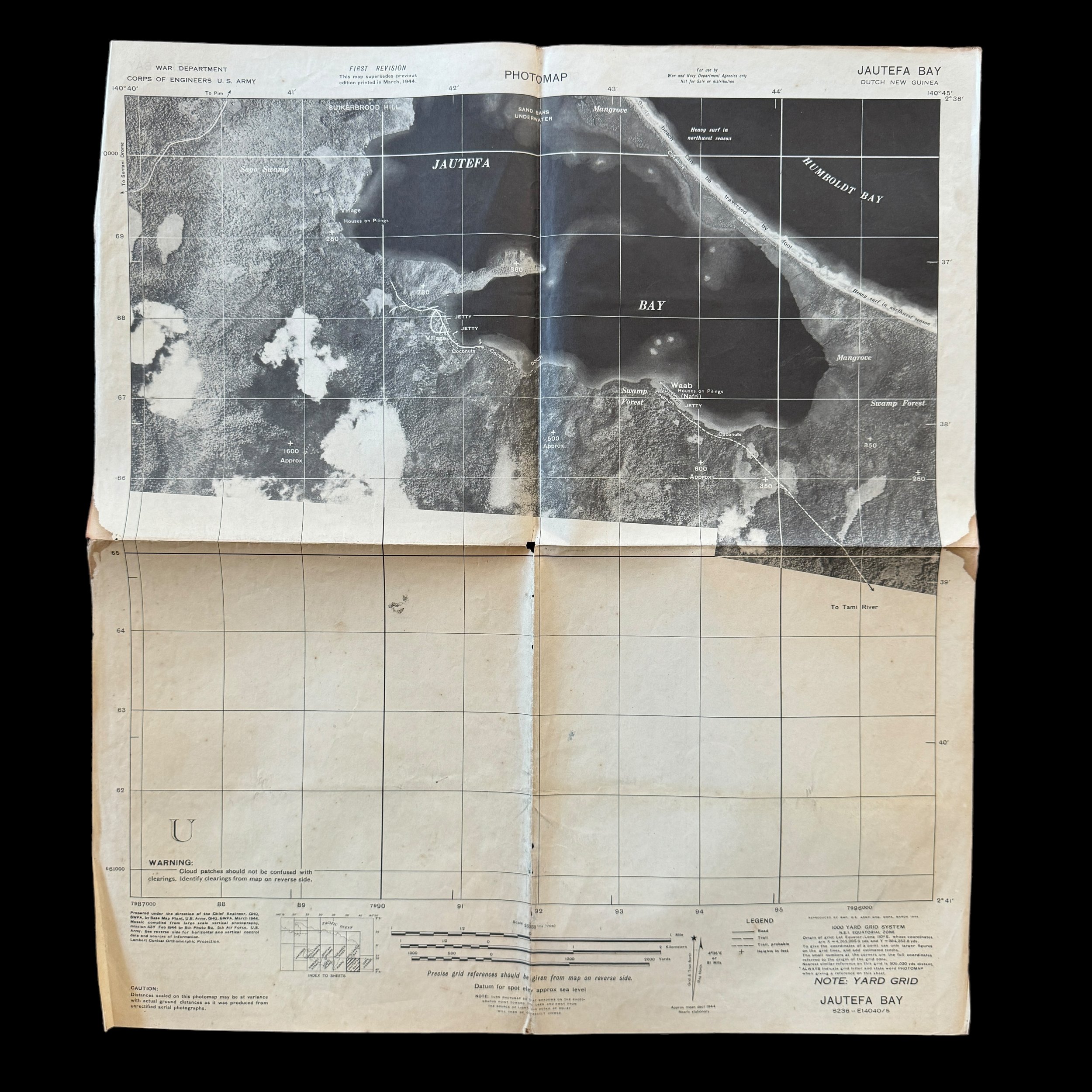
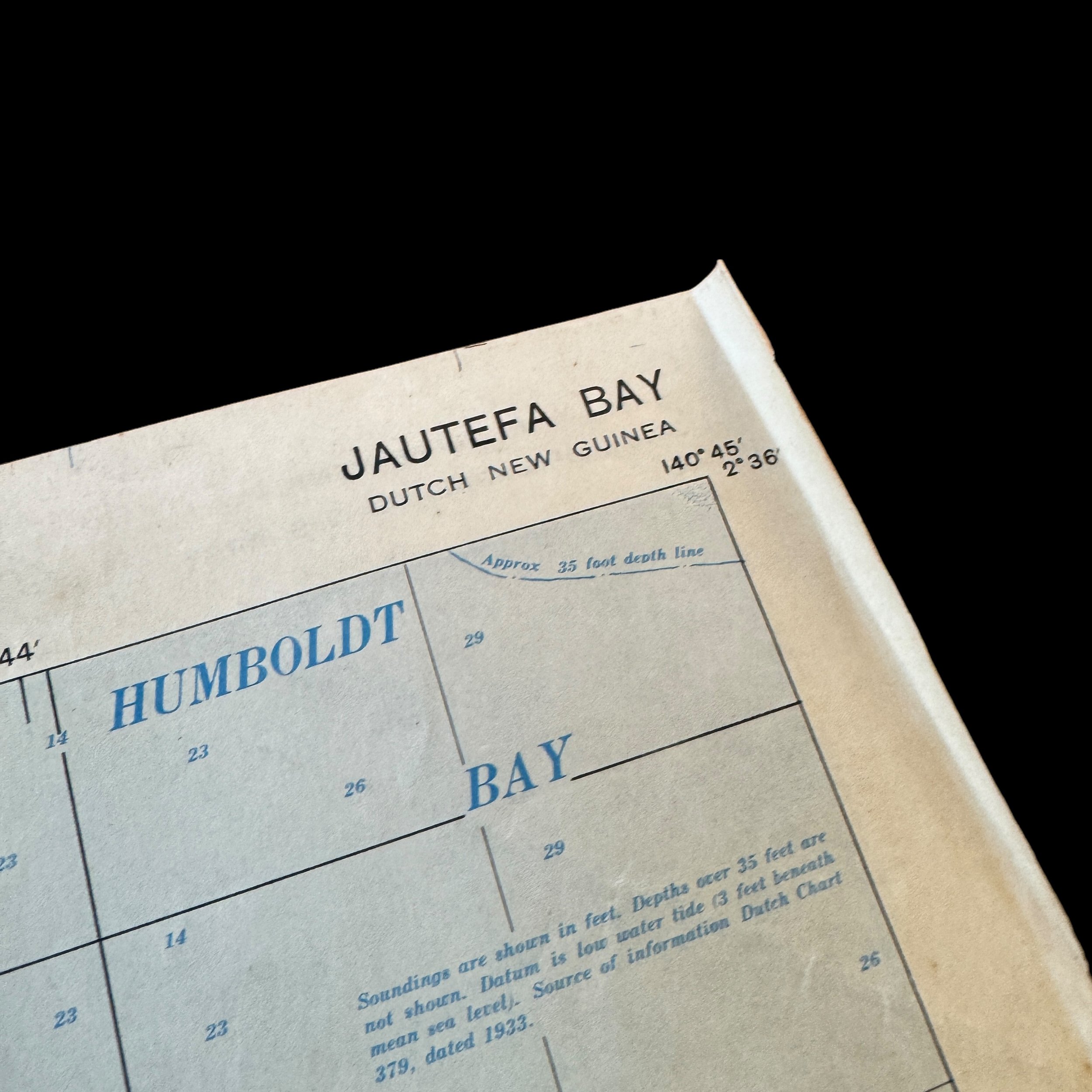
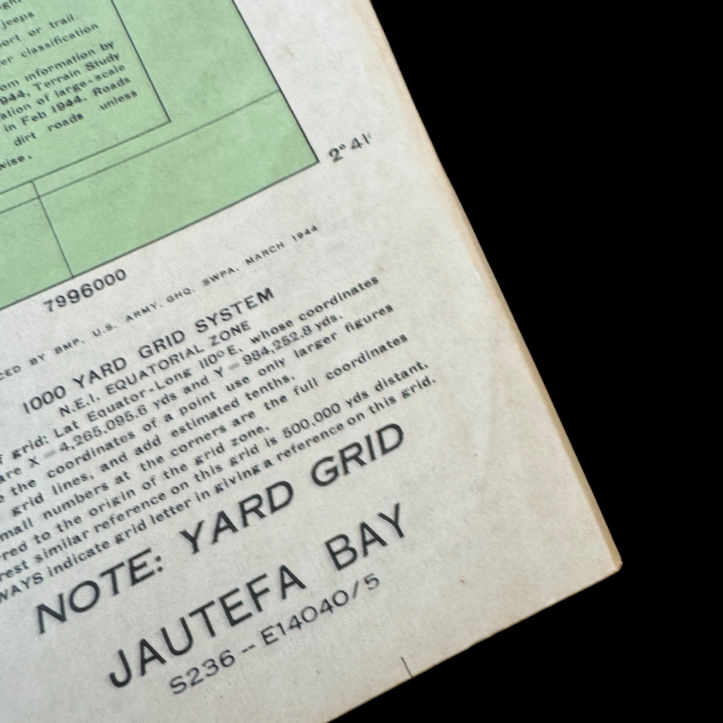
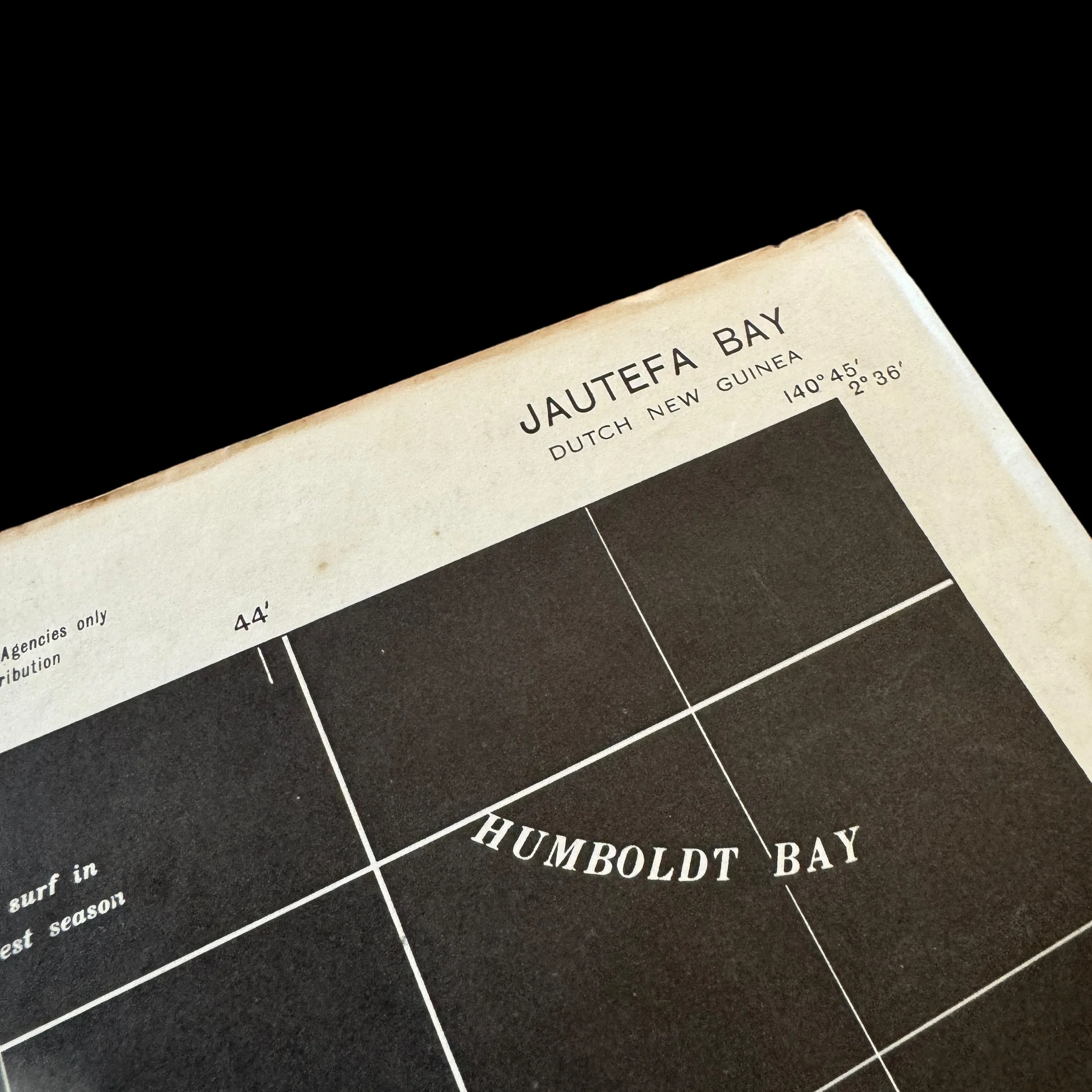
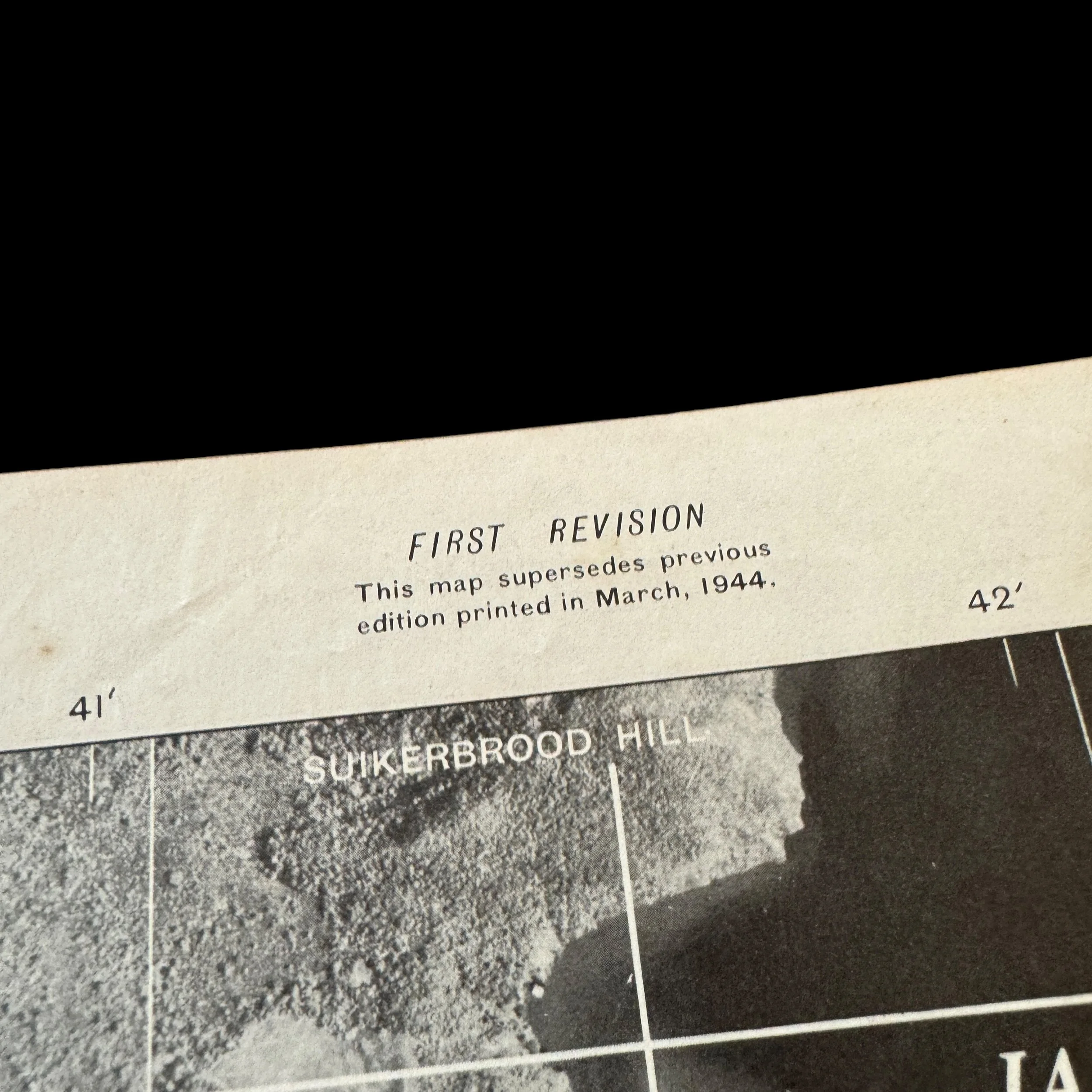
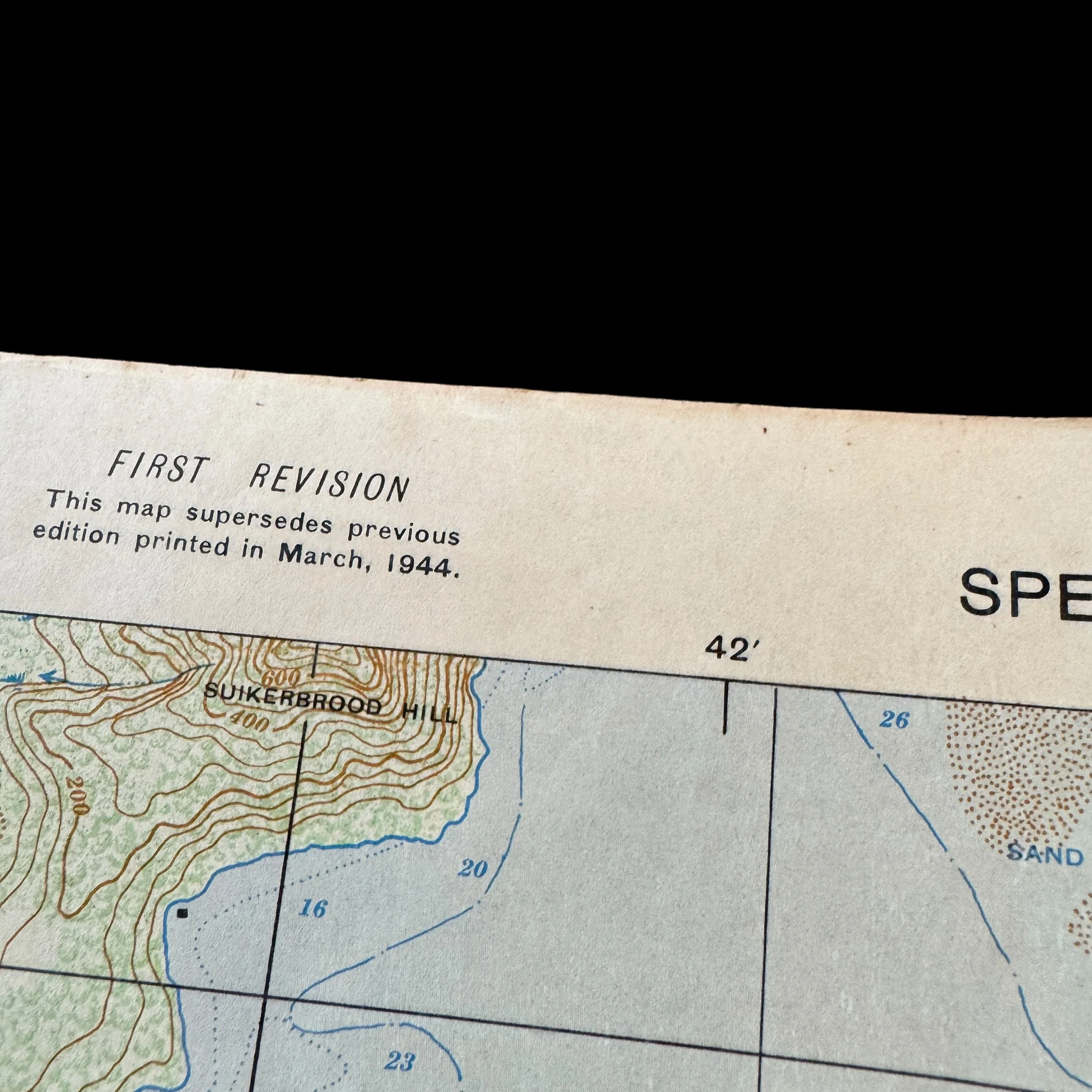
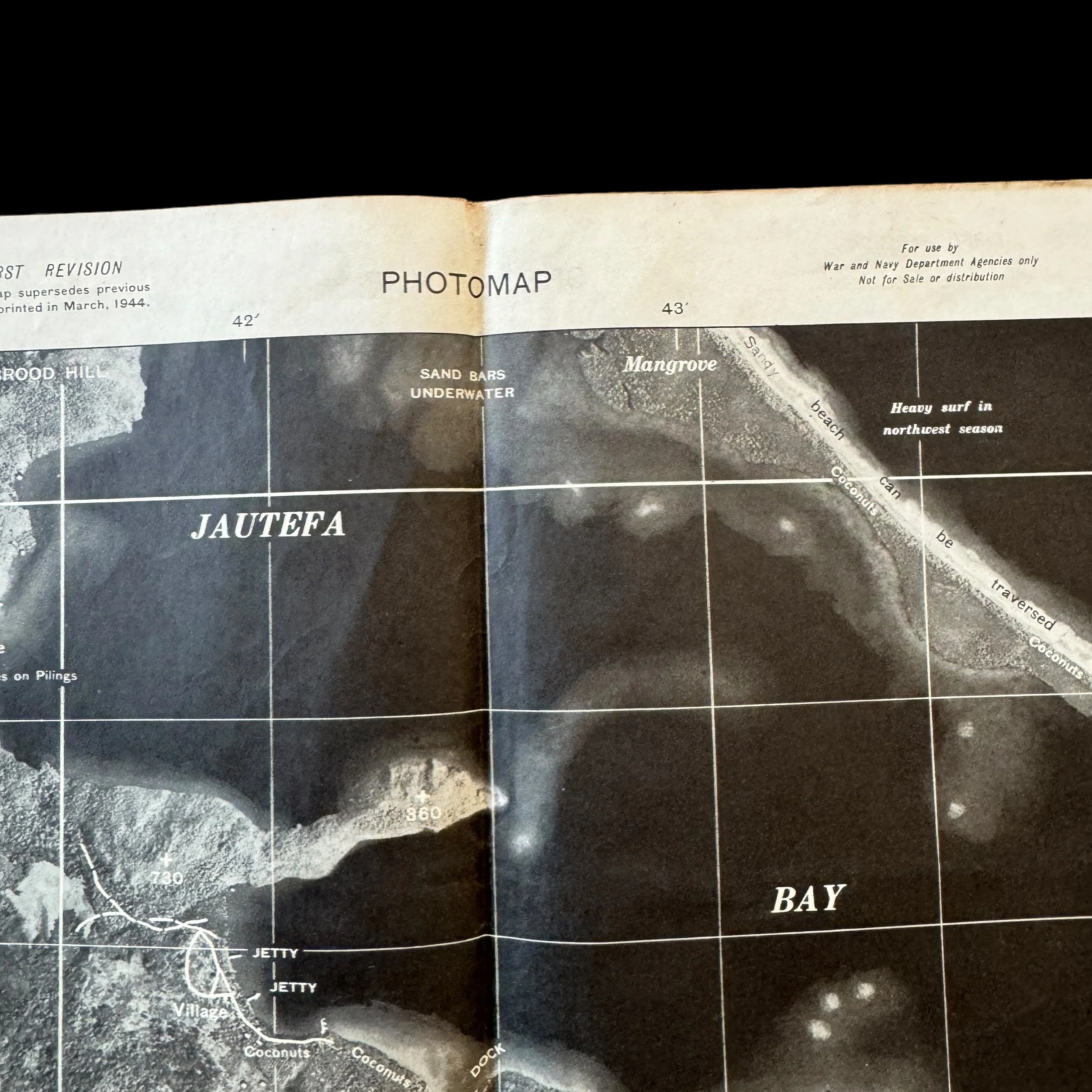
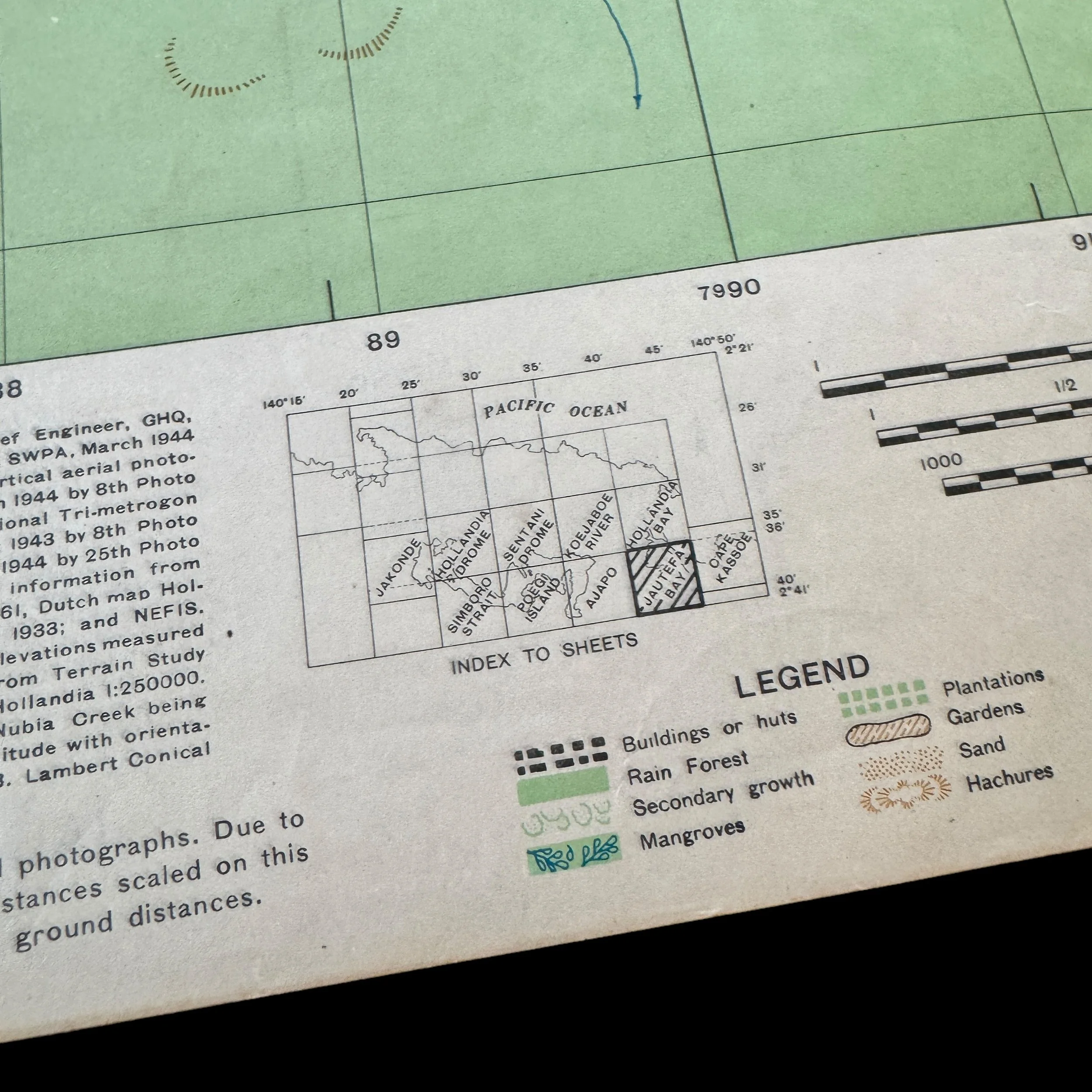
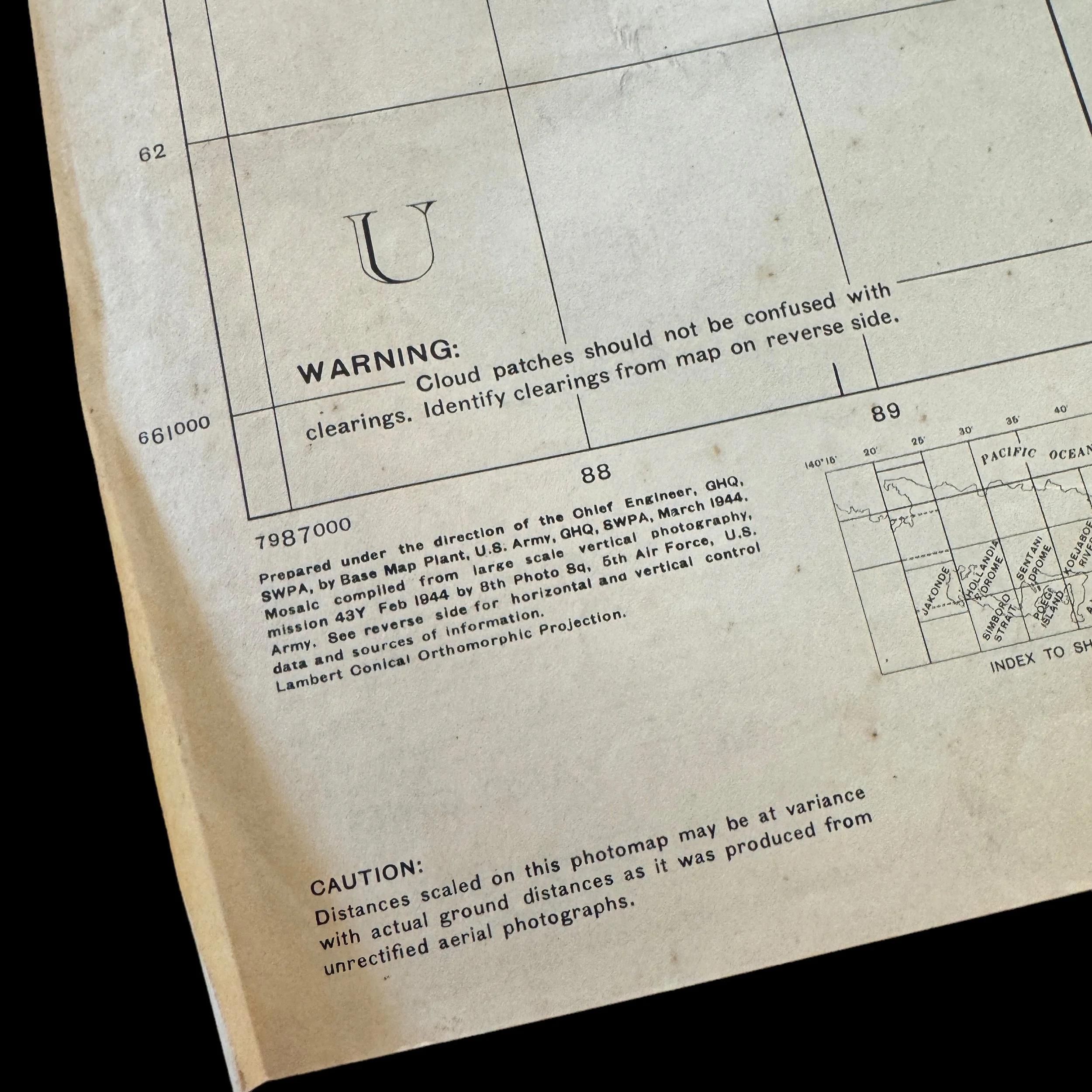
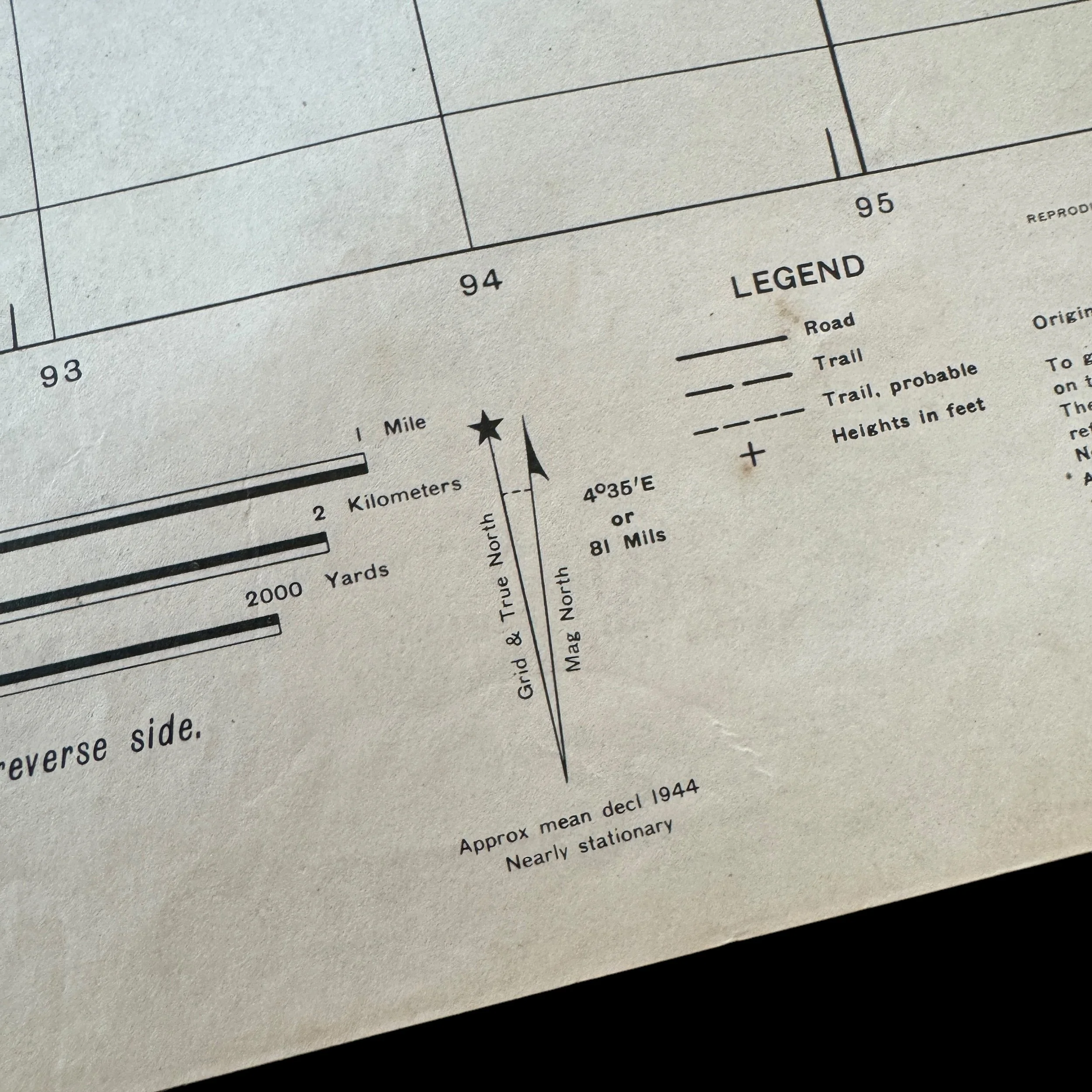
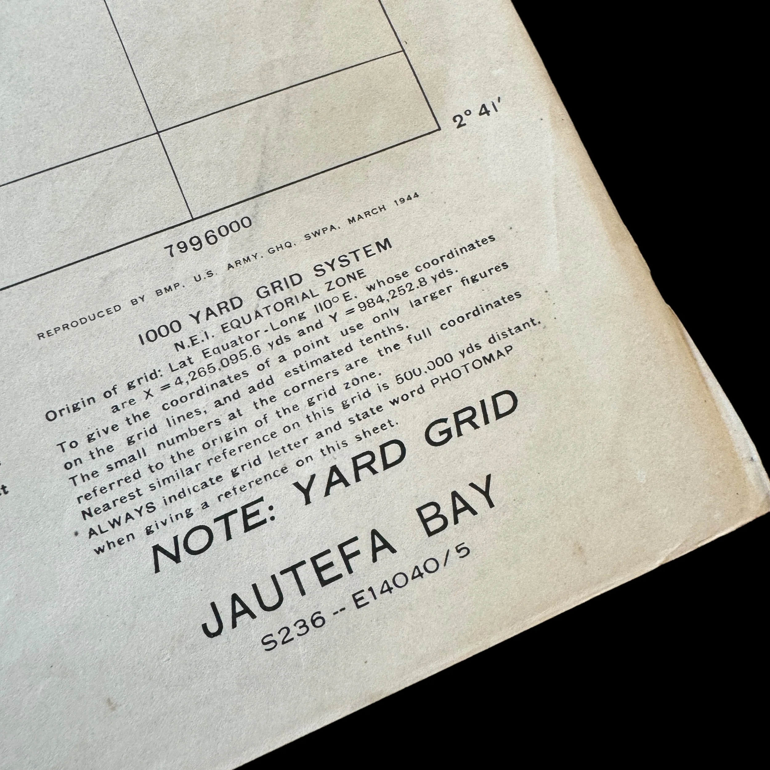
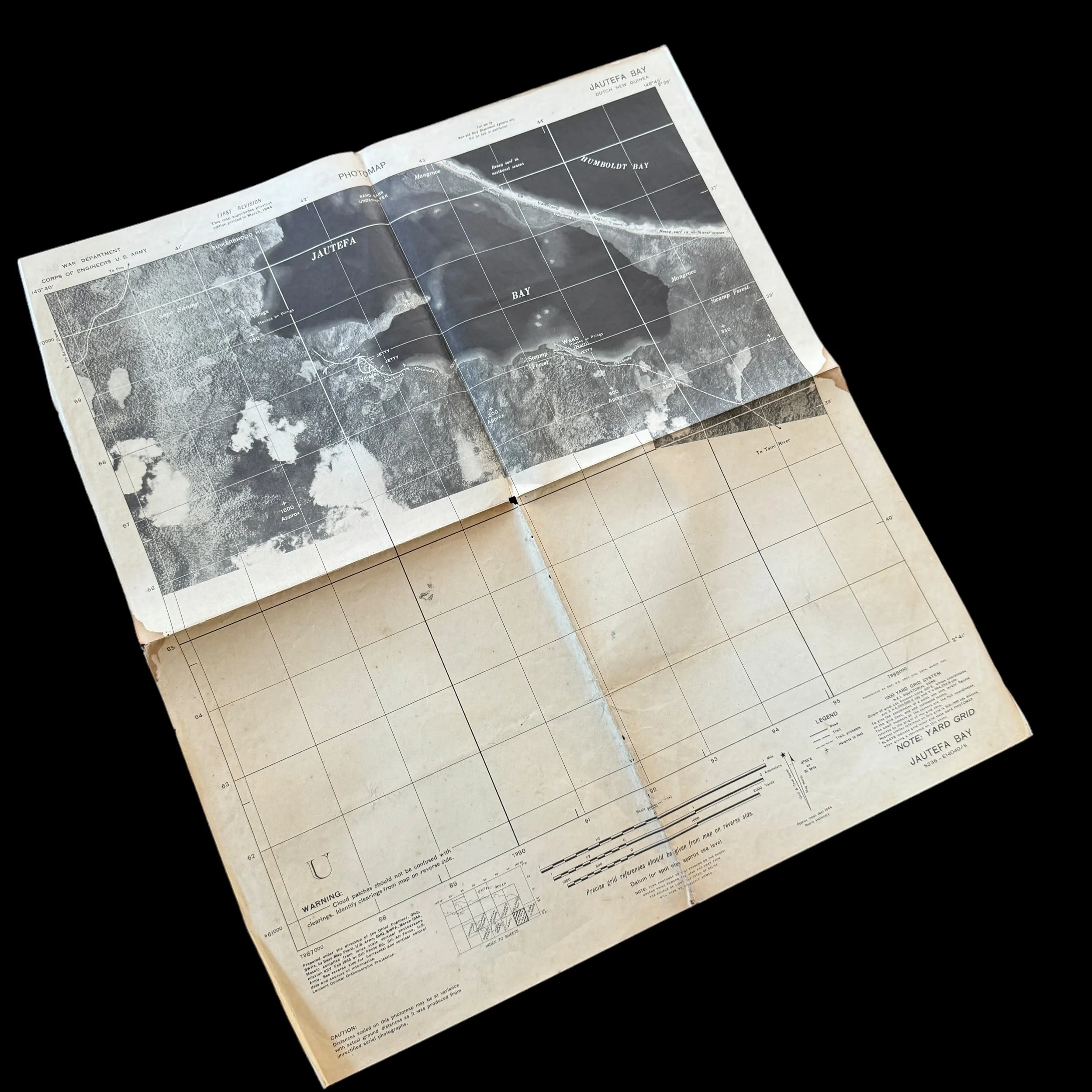
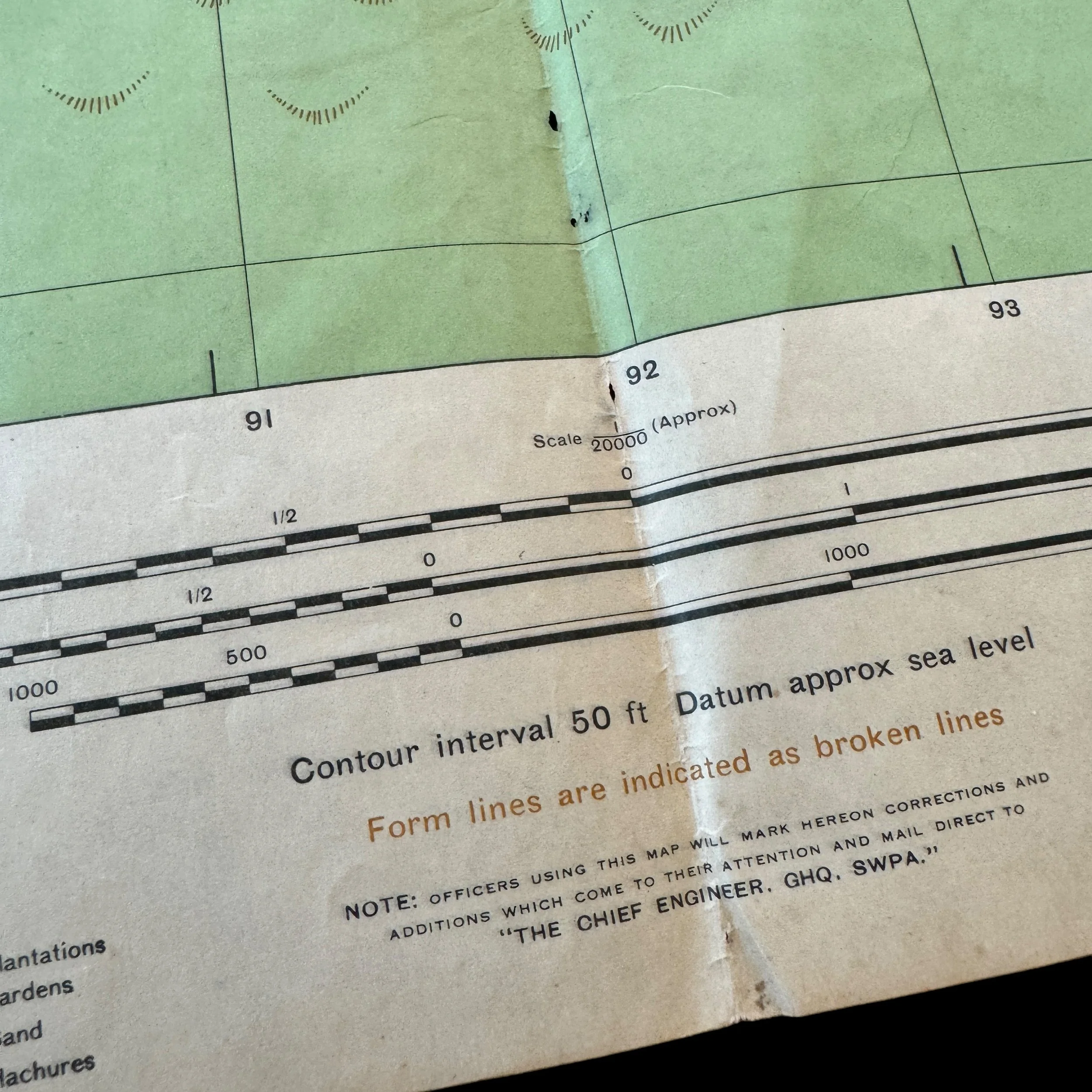
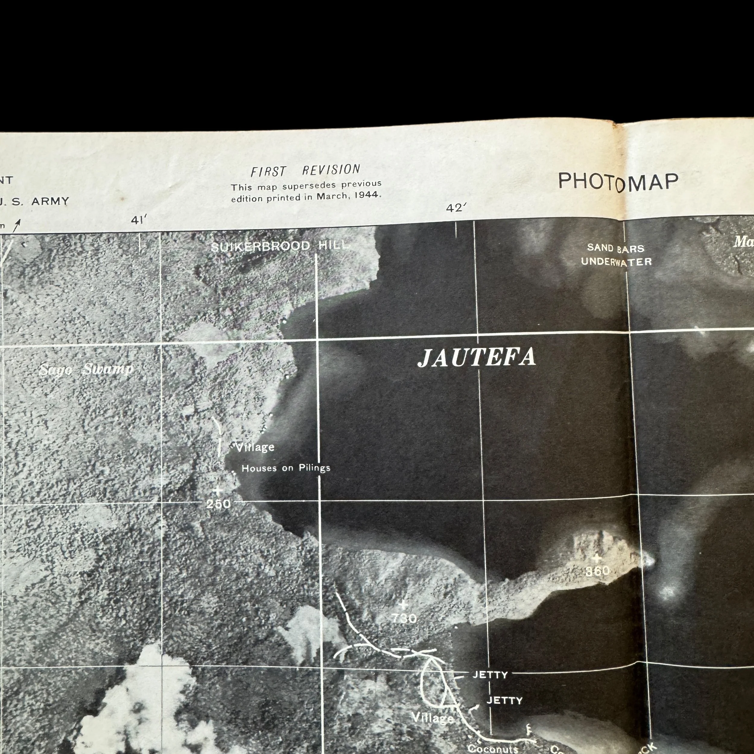
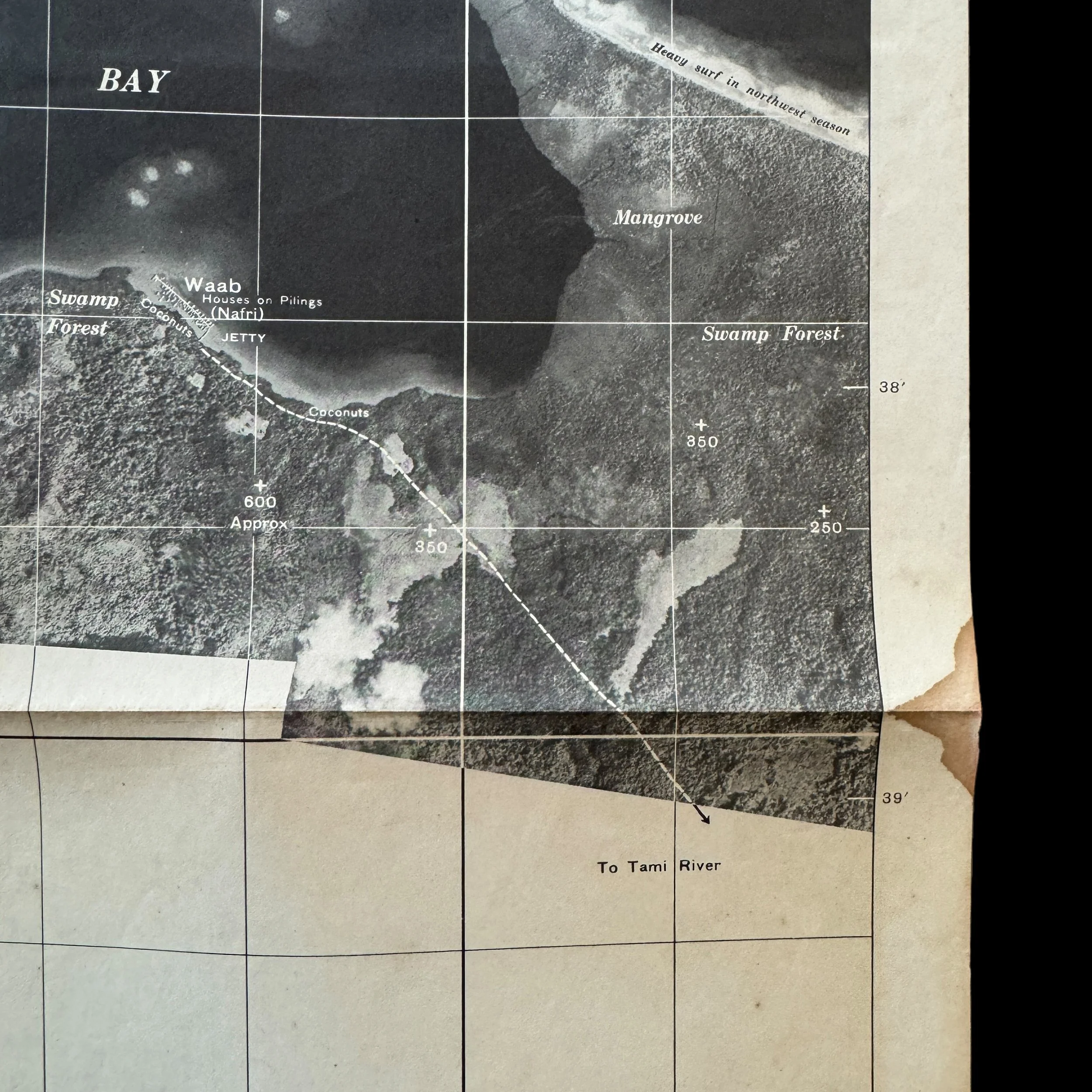
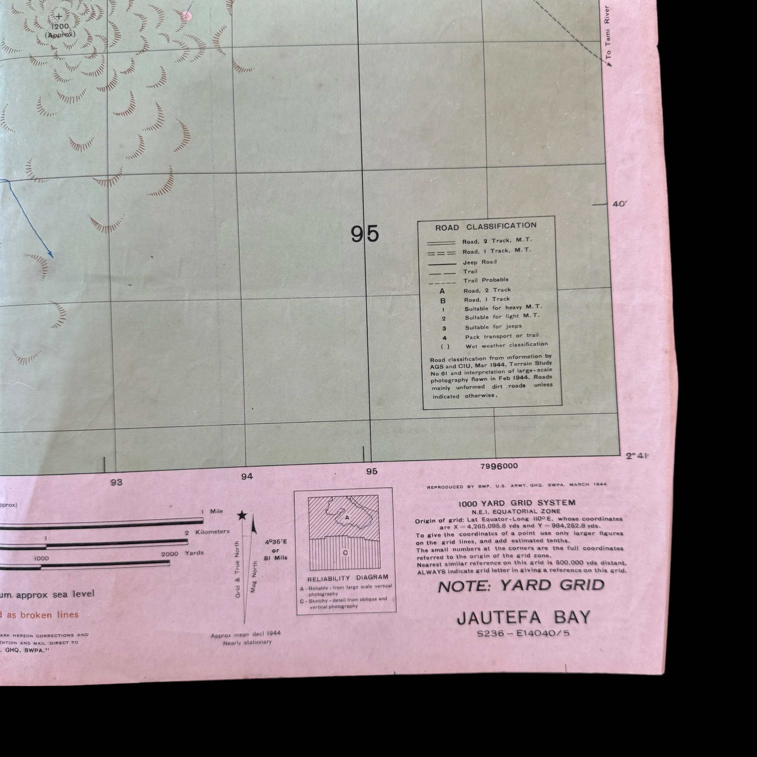
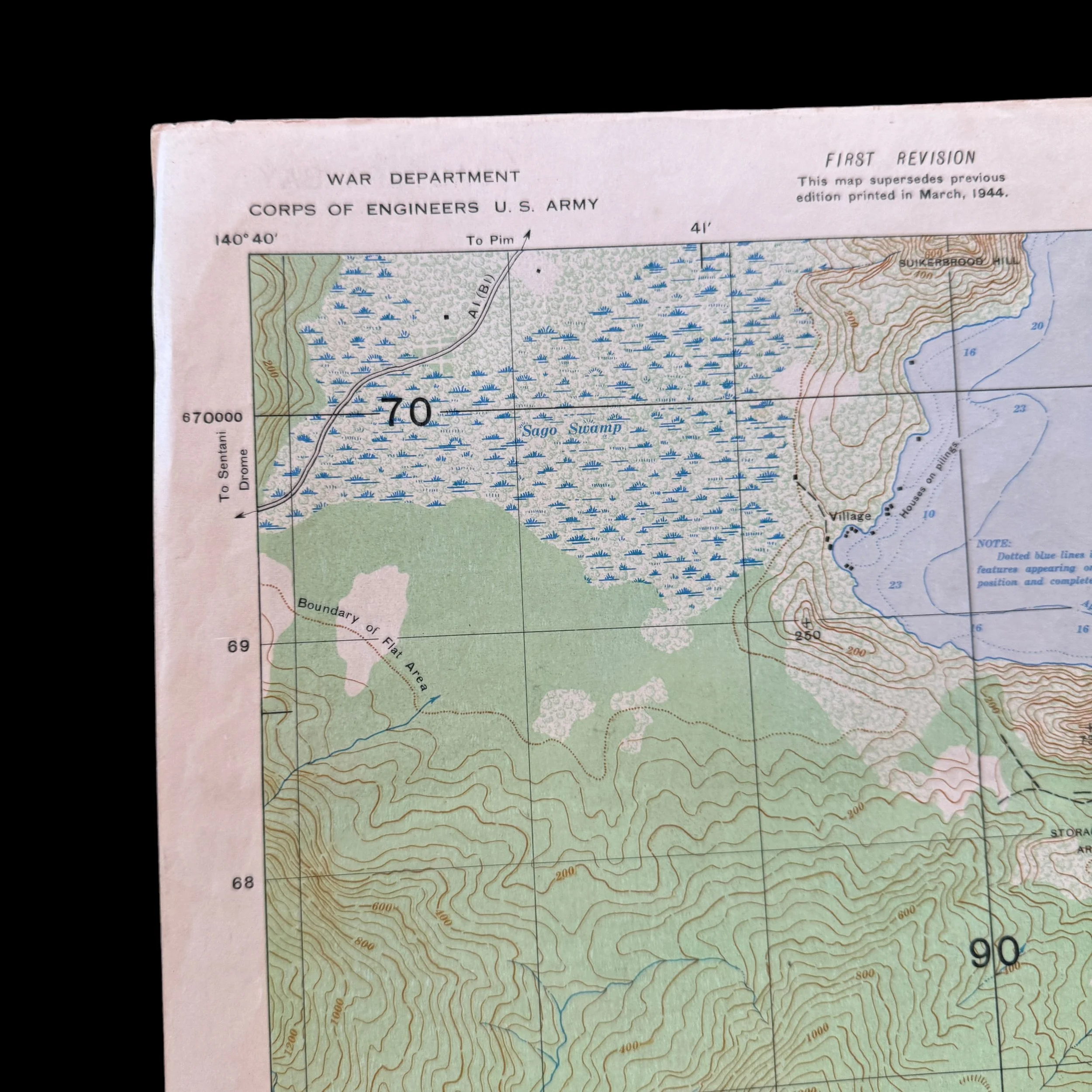
This incredibly rare and museum-grade WWII artifact is an original and heavily used 1944 dated combat operations map used during Operation Reckless and the Allied Campaign in Hollandia and Sentani, New Guinea (Pacific Theater). What makes this New Guinea invasion map so rare is that this was printed in March 1944 (one month before the Operation Reckless D-Day landing assault on the Hollandia area in April 1944. Prepared under the direction of the Chief Engineer this extremely rare double-side Hollandia New Guinea amphibious invasion map and rare ‘AERIAL SUPPORT PHOTO’ map was used in support of the Operation Reckless Task Force assault on the Japanese held airfields around the Hollandia Airfield and Sentani Airfield. The U.S. 8th Photo Squadron, 5th Air Force constructed this map from large-scale vertical area photograph missions. This “SPECIAL MAP” print also features a rare ‘PHOTO MAP’ on the backside showing a realistic view of the New Guinea terrain. These backside special ‘PHOTO MAPS’ are not common and are generally reserved for special divisions and operations.