RARE! WWII 1944 Battle of Leyte Gulf USS Lexington (CV-16) Curtiss SB2C Helldiver USN Pilot's Cockpit Combat Target Map #2
RARE! WWII 1944 Battle of Leyte Gulf USS Lexington (CV-16) Curtiss SB2C Helldiver USN Pilot's Cockpit Combat Target Map #2
Comes with a hand-signed C.O.A.
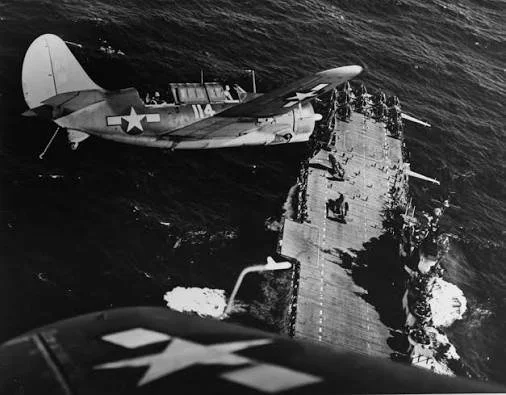
*This combat map was used by Victor Stankevich a WWII pilot in Bombing Squadron 19 (VB-19). Victor Stankevich utilized this exact chart while flying a Curtiss SB2C Helldiver, which served as the US Navy's primary carrier-based dive bomber during the latter half of the war. During 1944, VB-19 was attached to Carrier Air Group 19 aboard the USS Lexington (CV-16), operating as part of Admiral William Halsey's Third Fleet, also known as Task Force 38. Crew members like Stankevich used these cockpit charts for dead reckoning, identifying targets, and safely plotting return headings to their carrier fleet operating offshore in the Philippine Sea.
Size: 8 × 8 inches
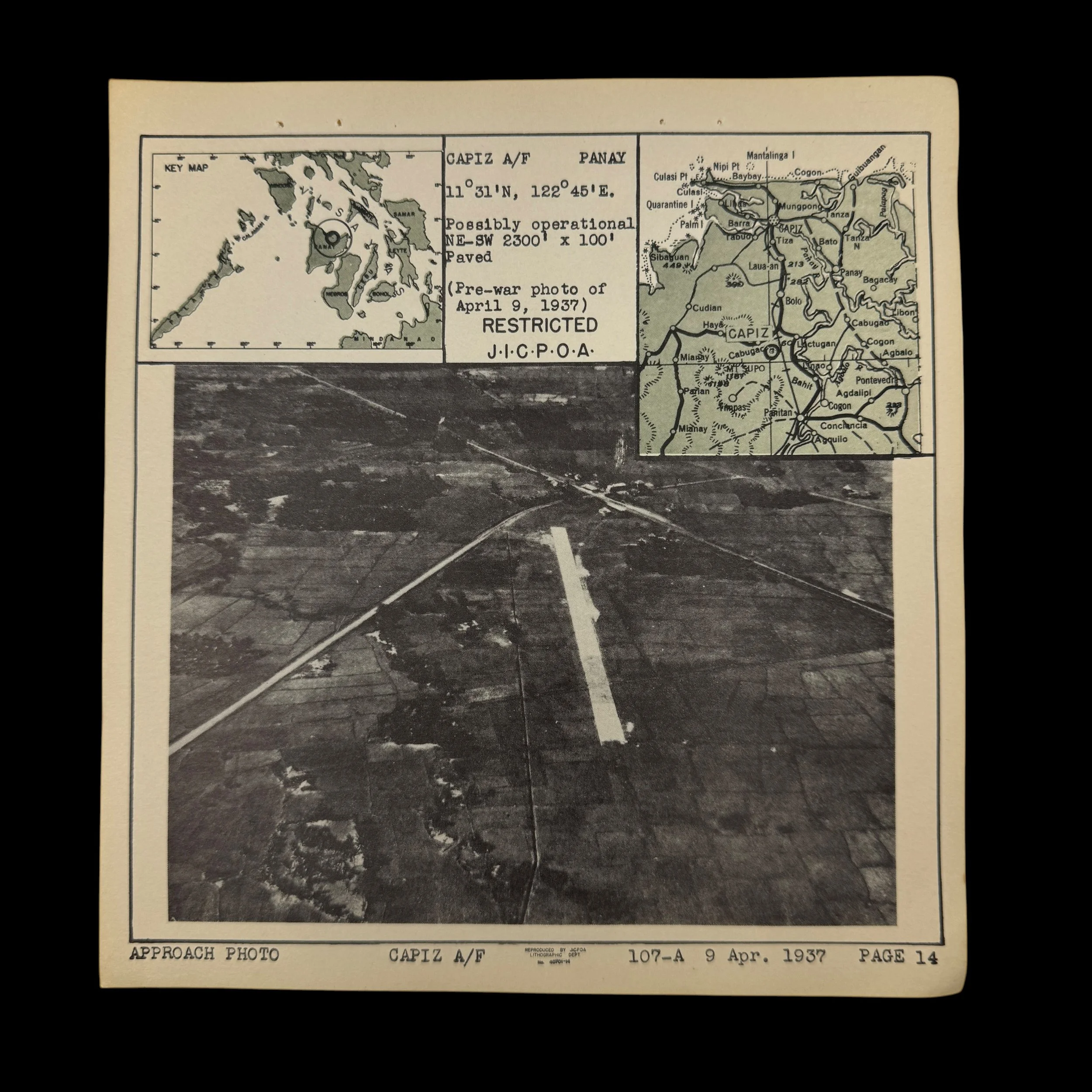
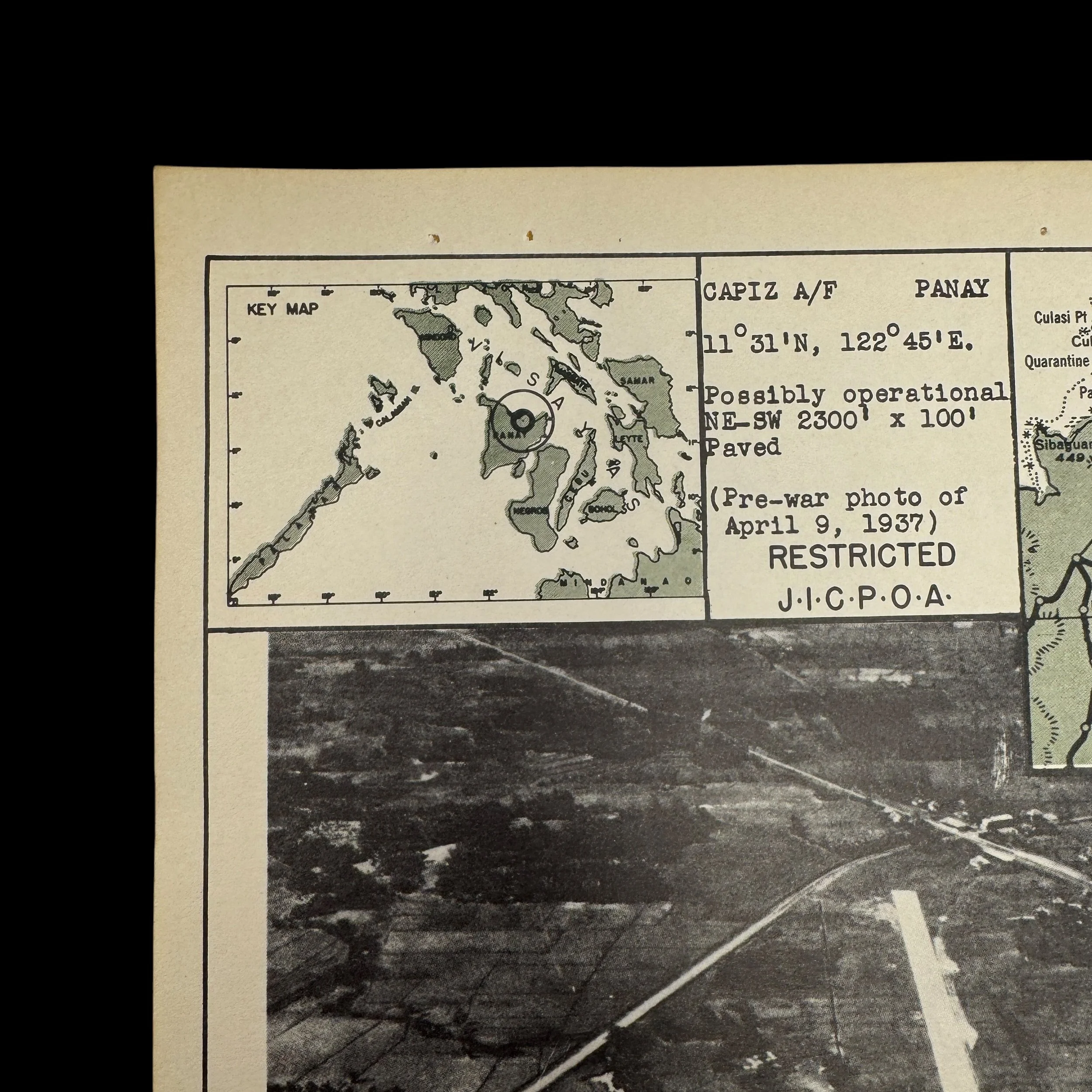
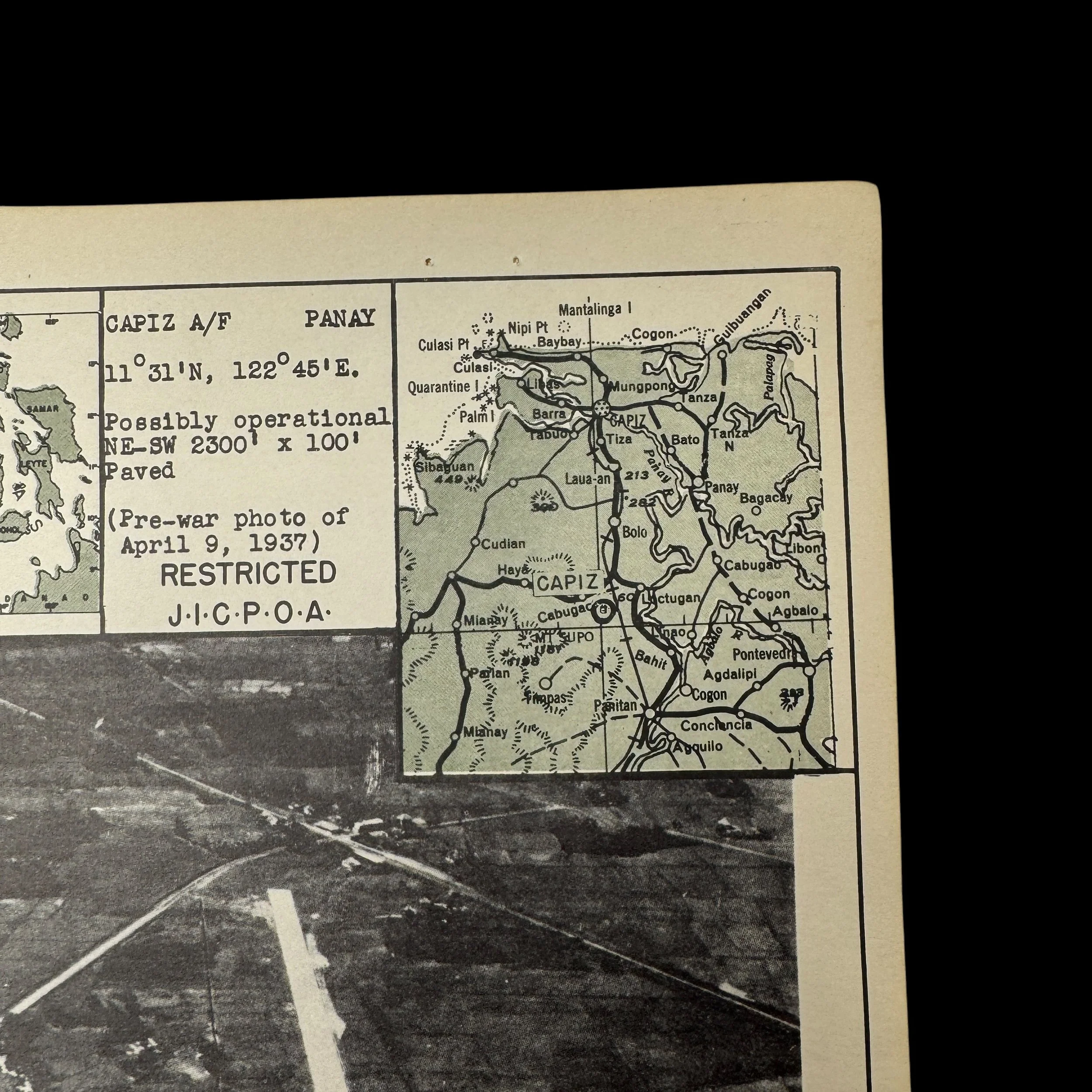
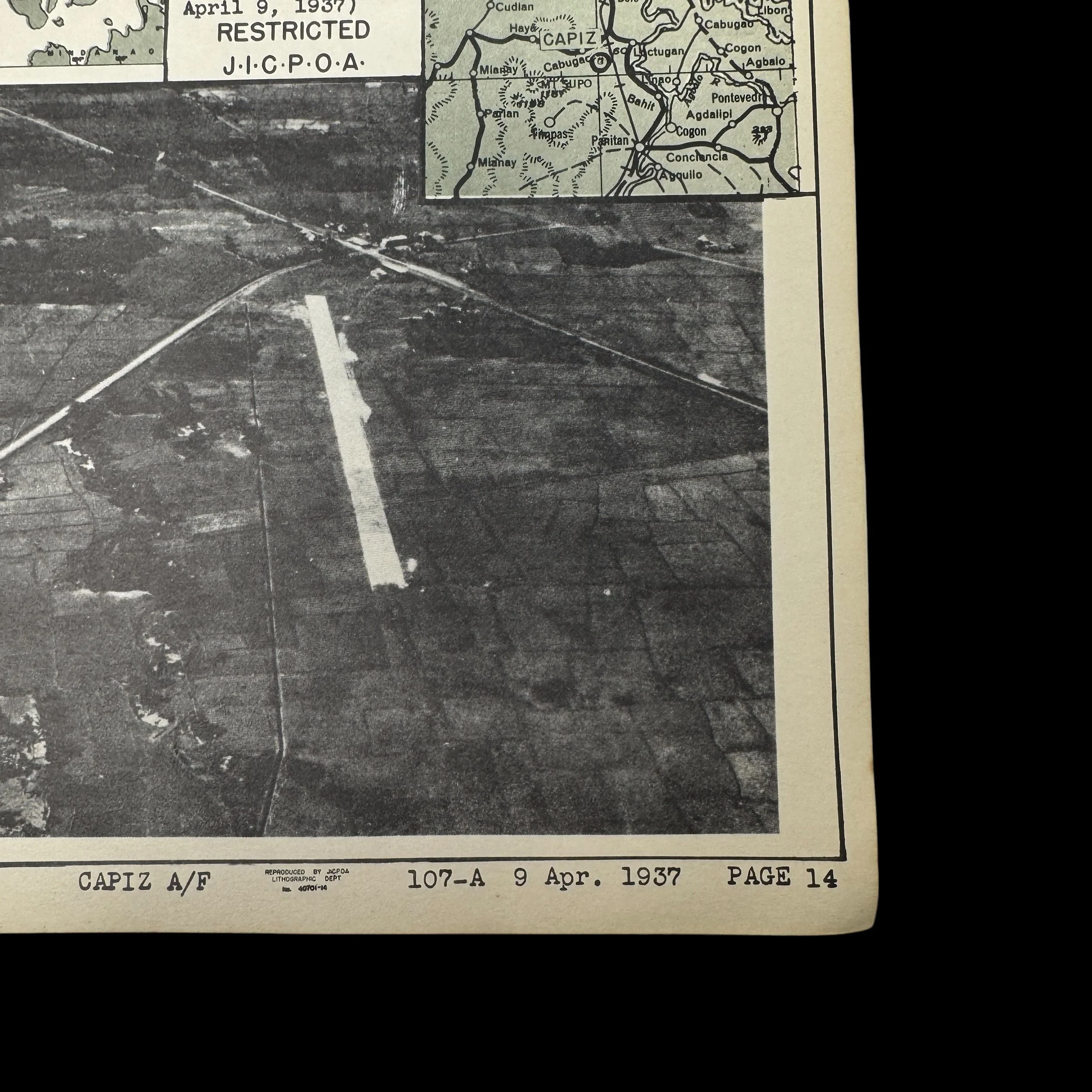
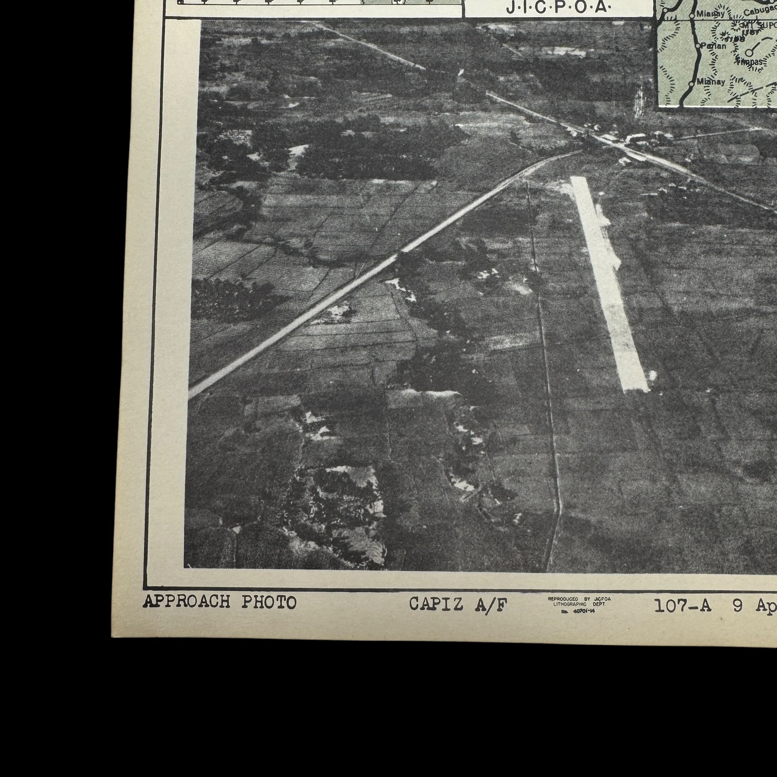
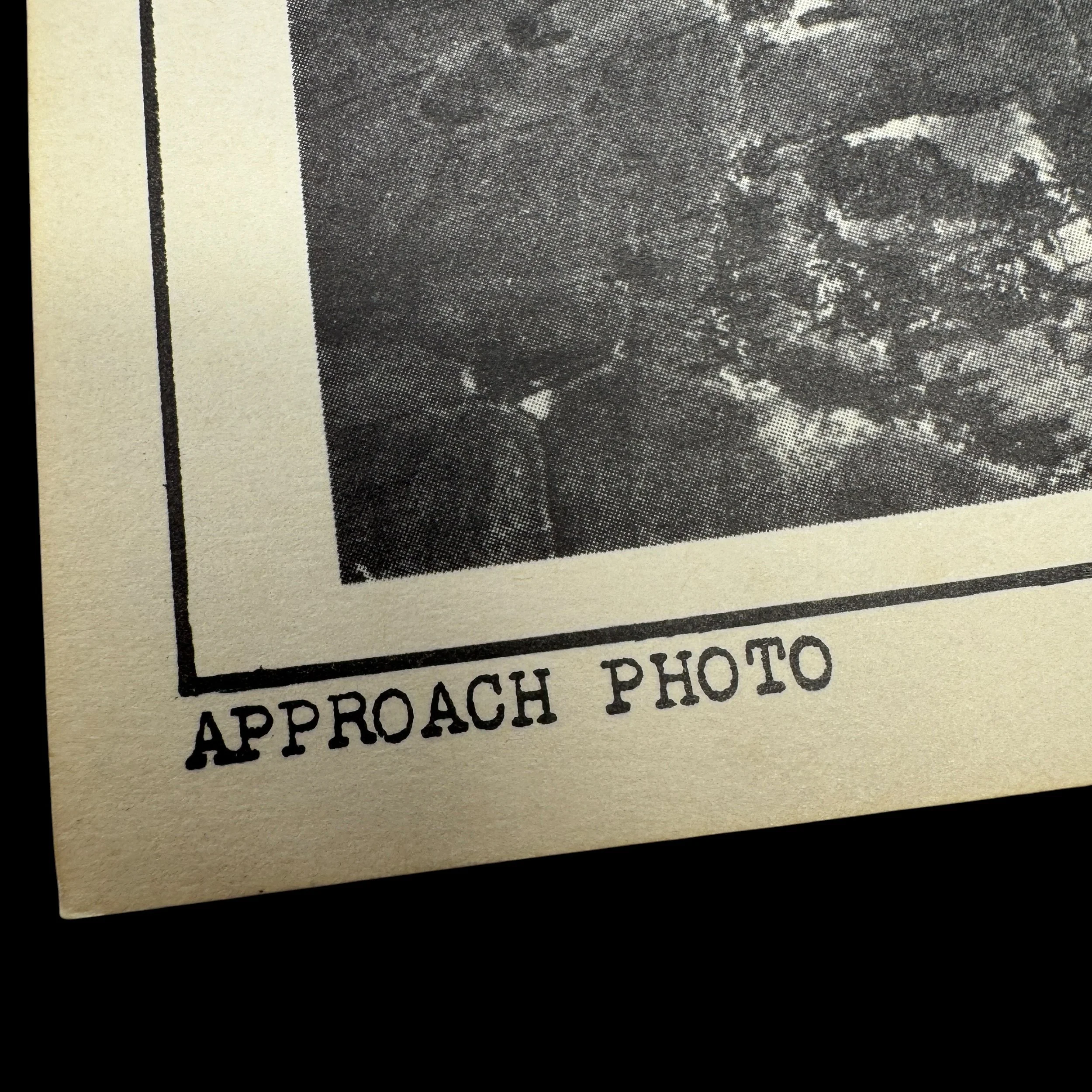
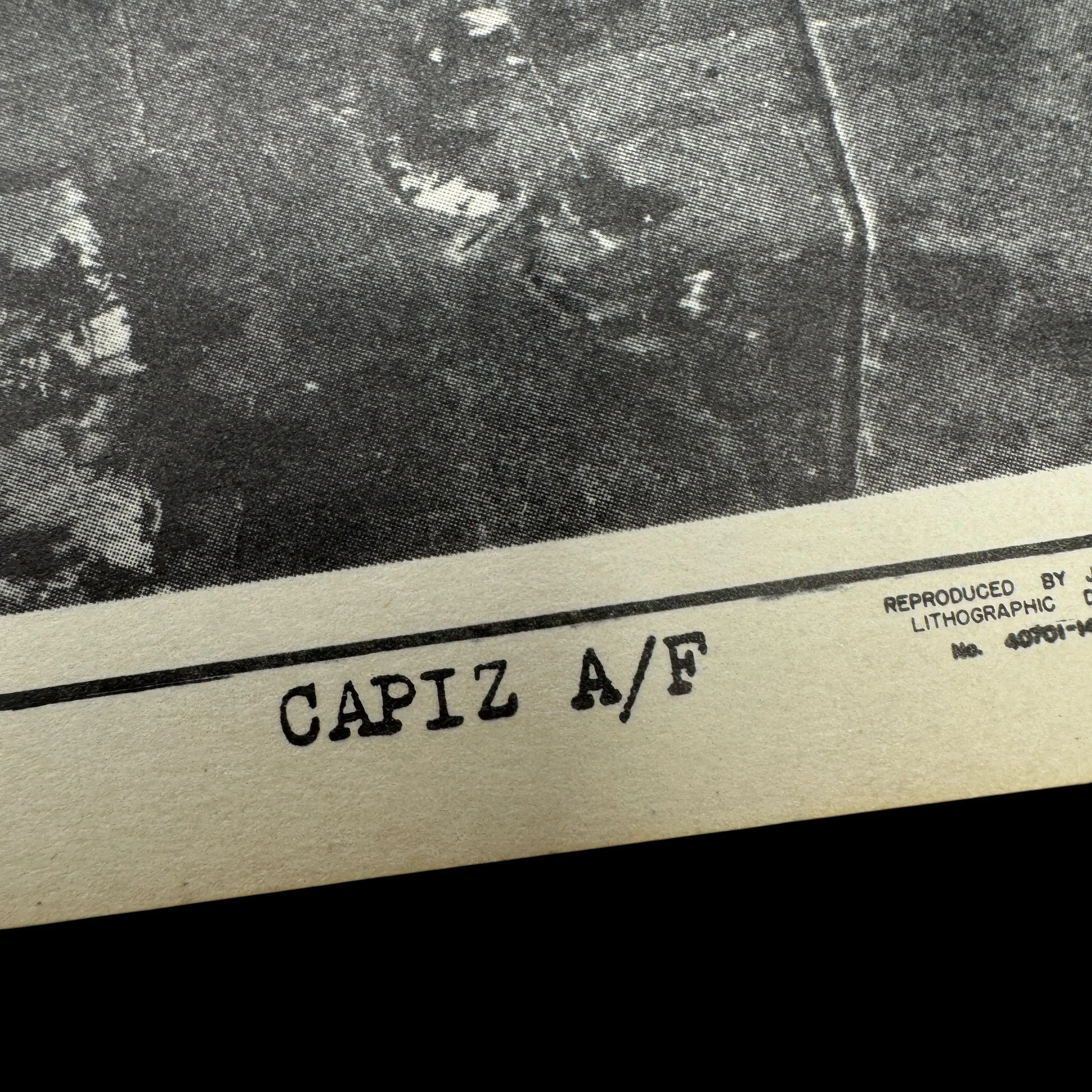
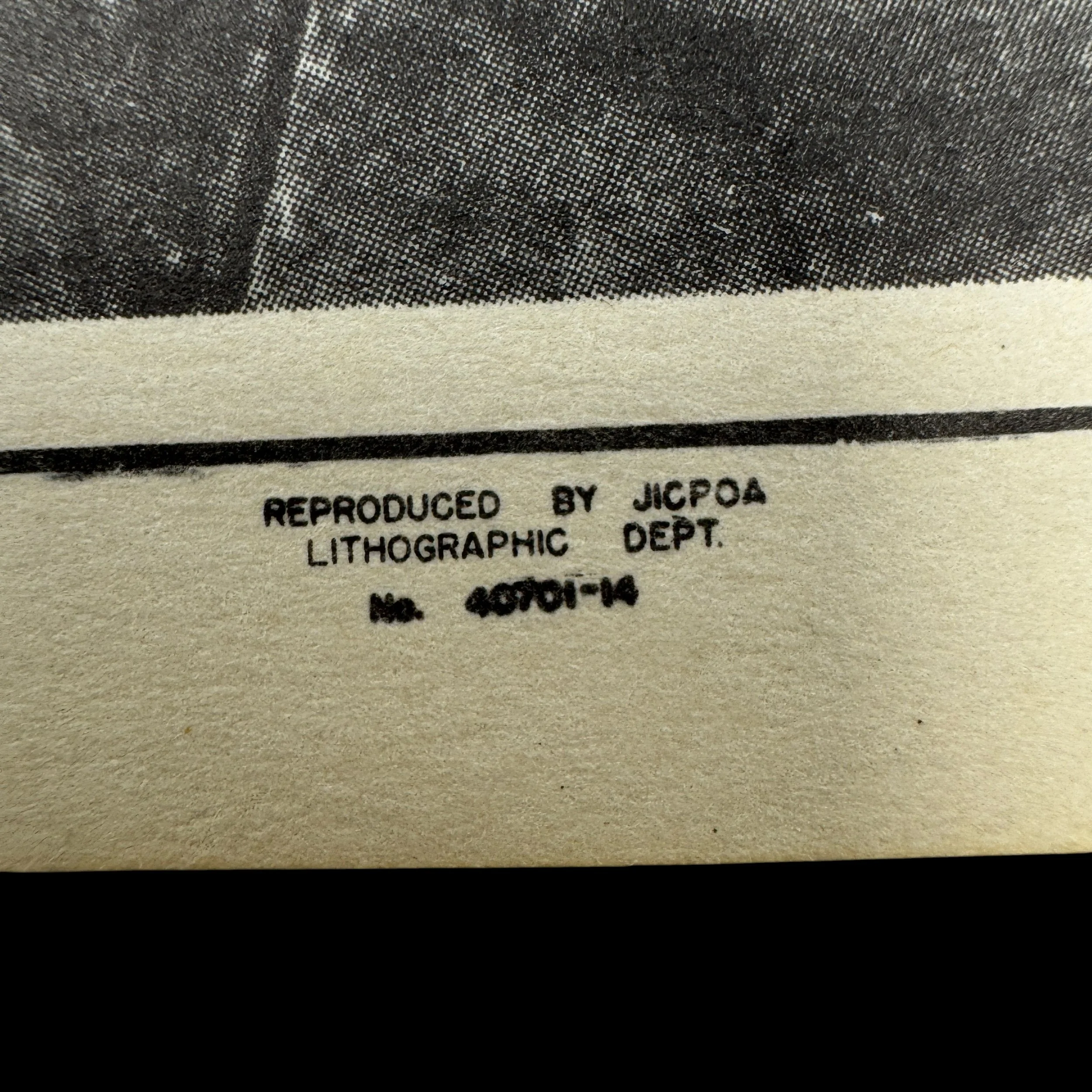
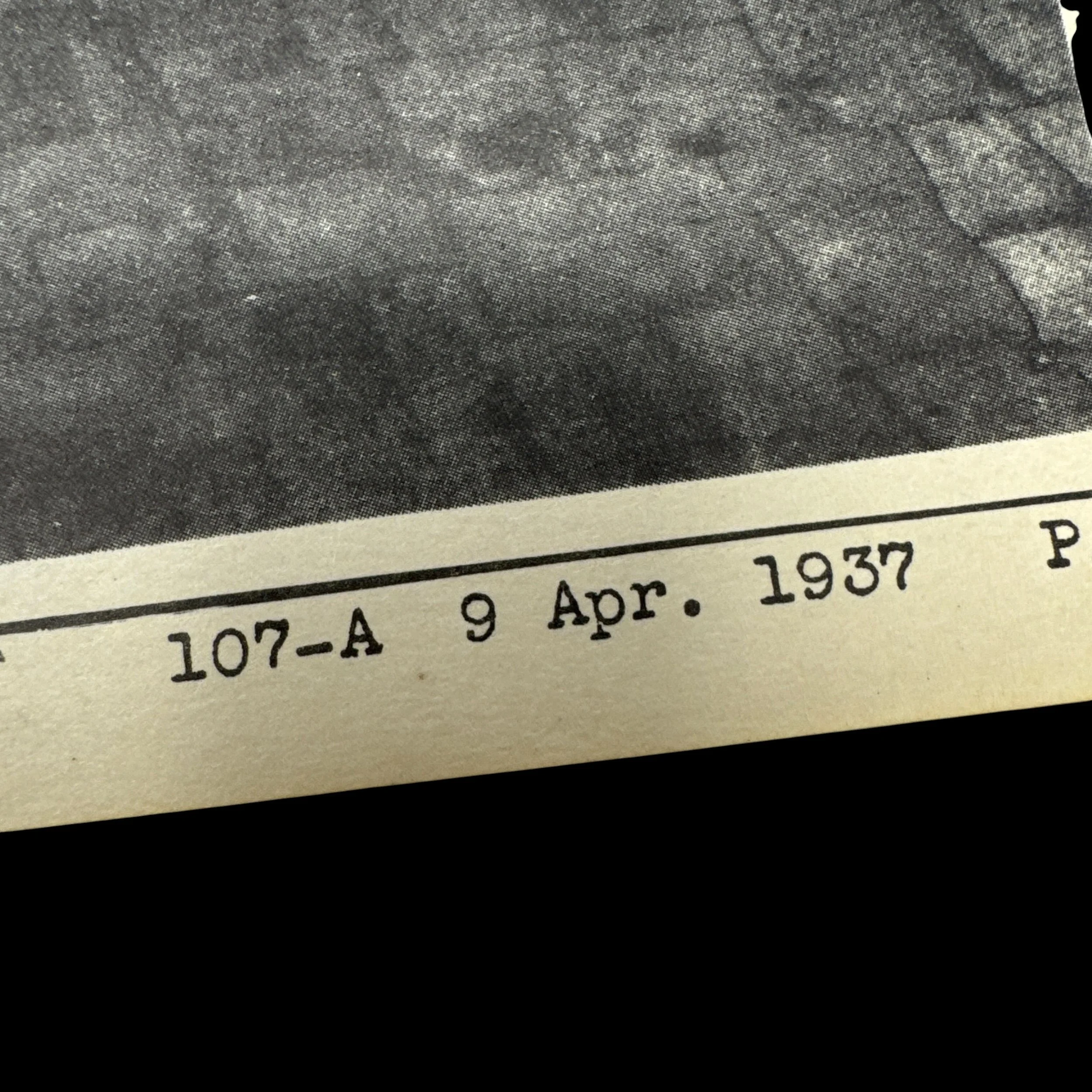
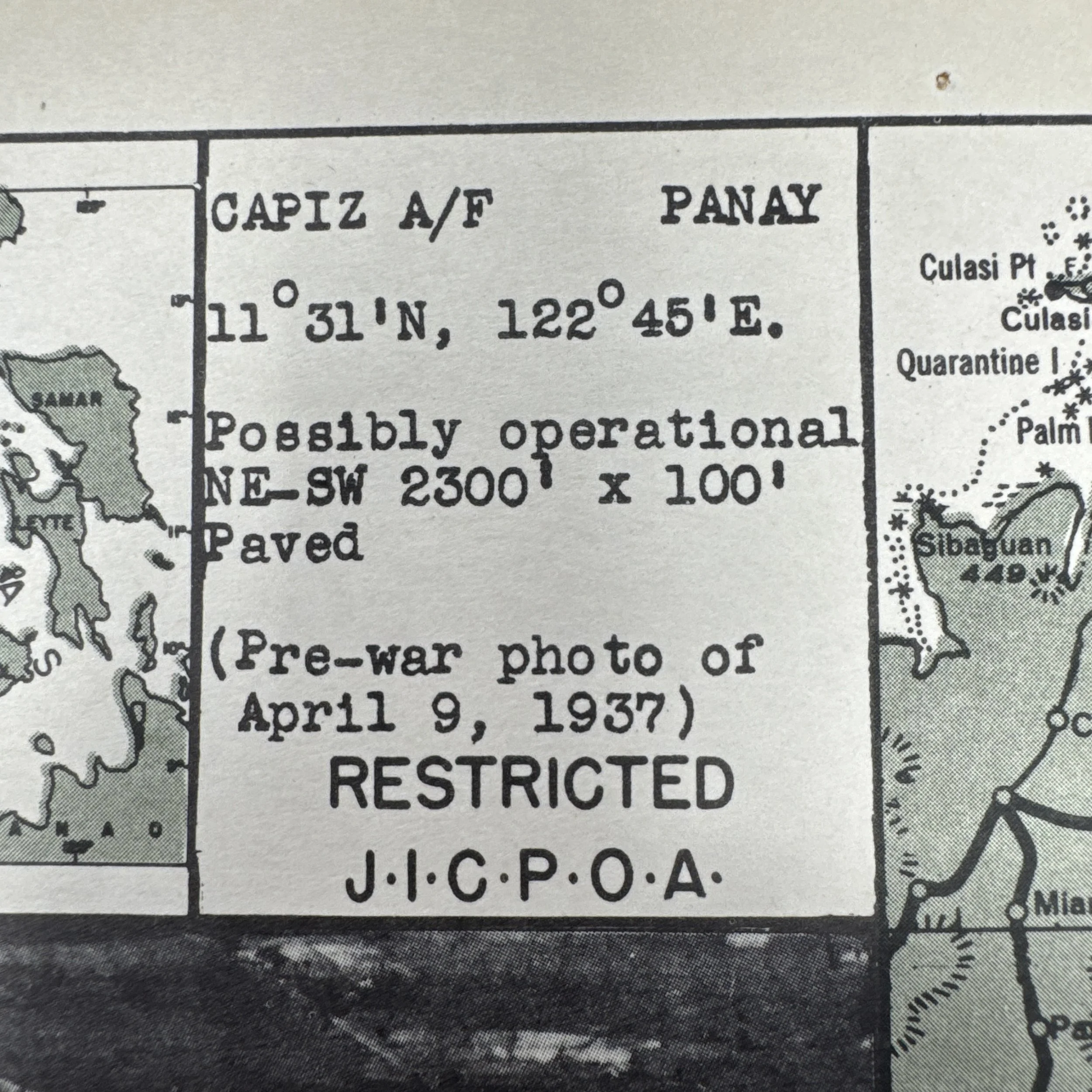
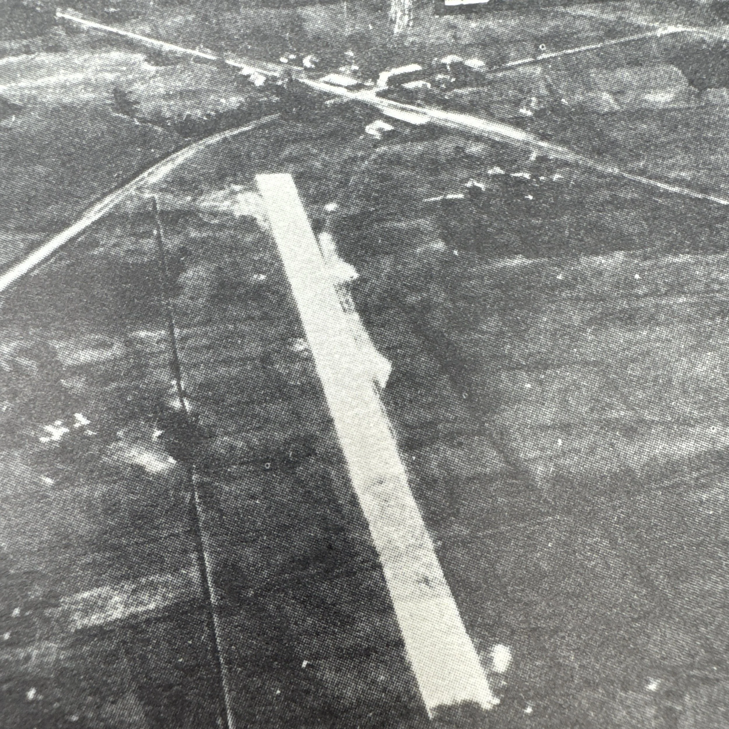
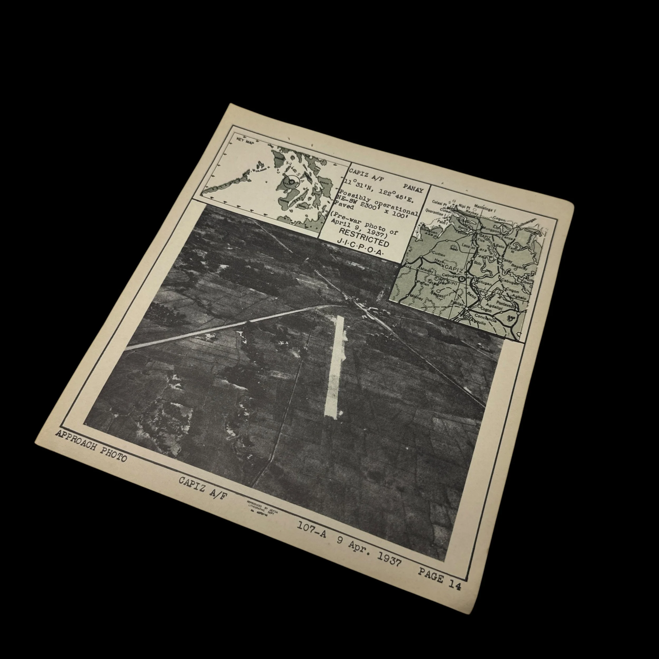
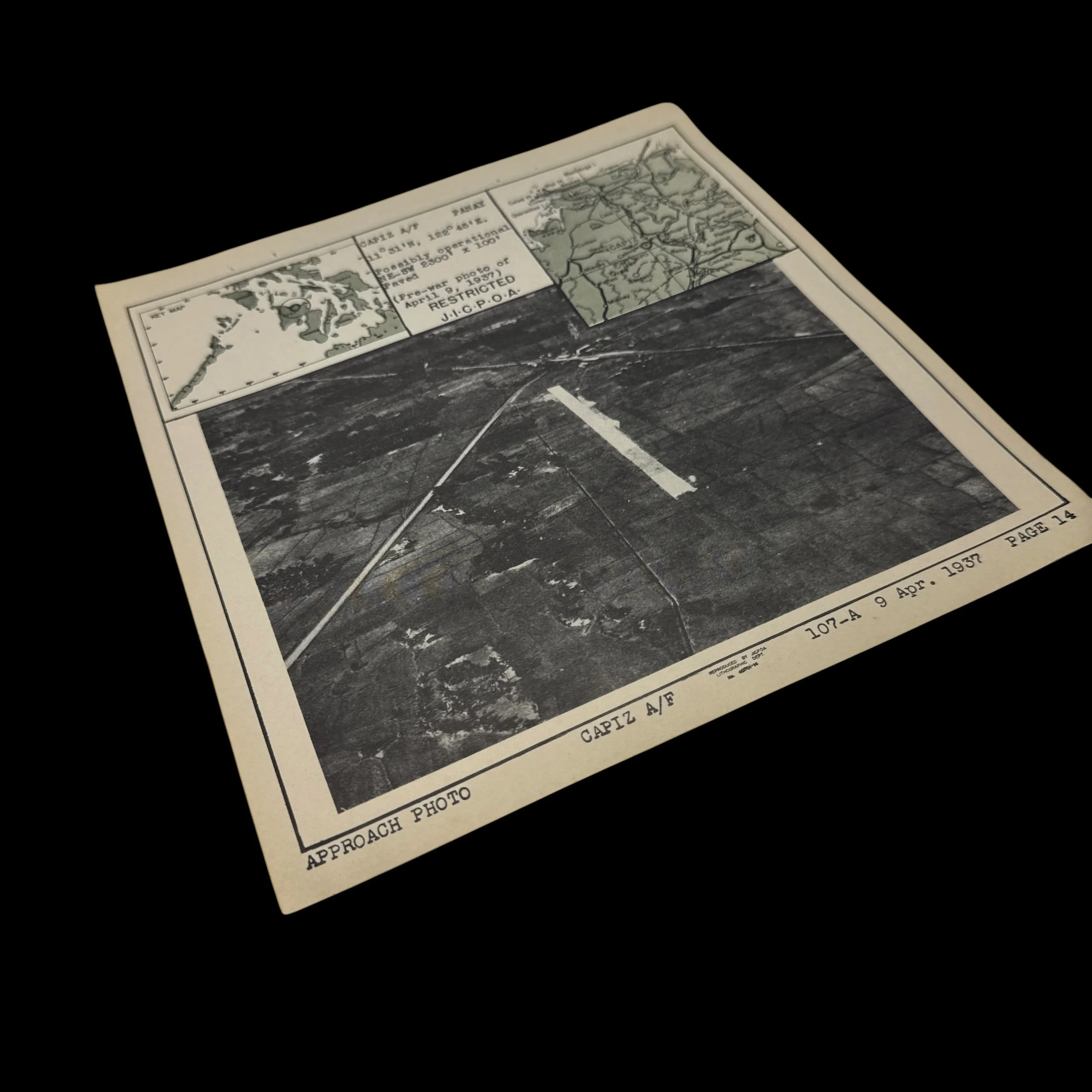
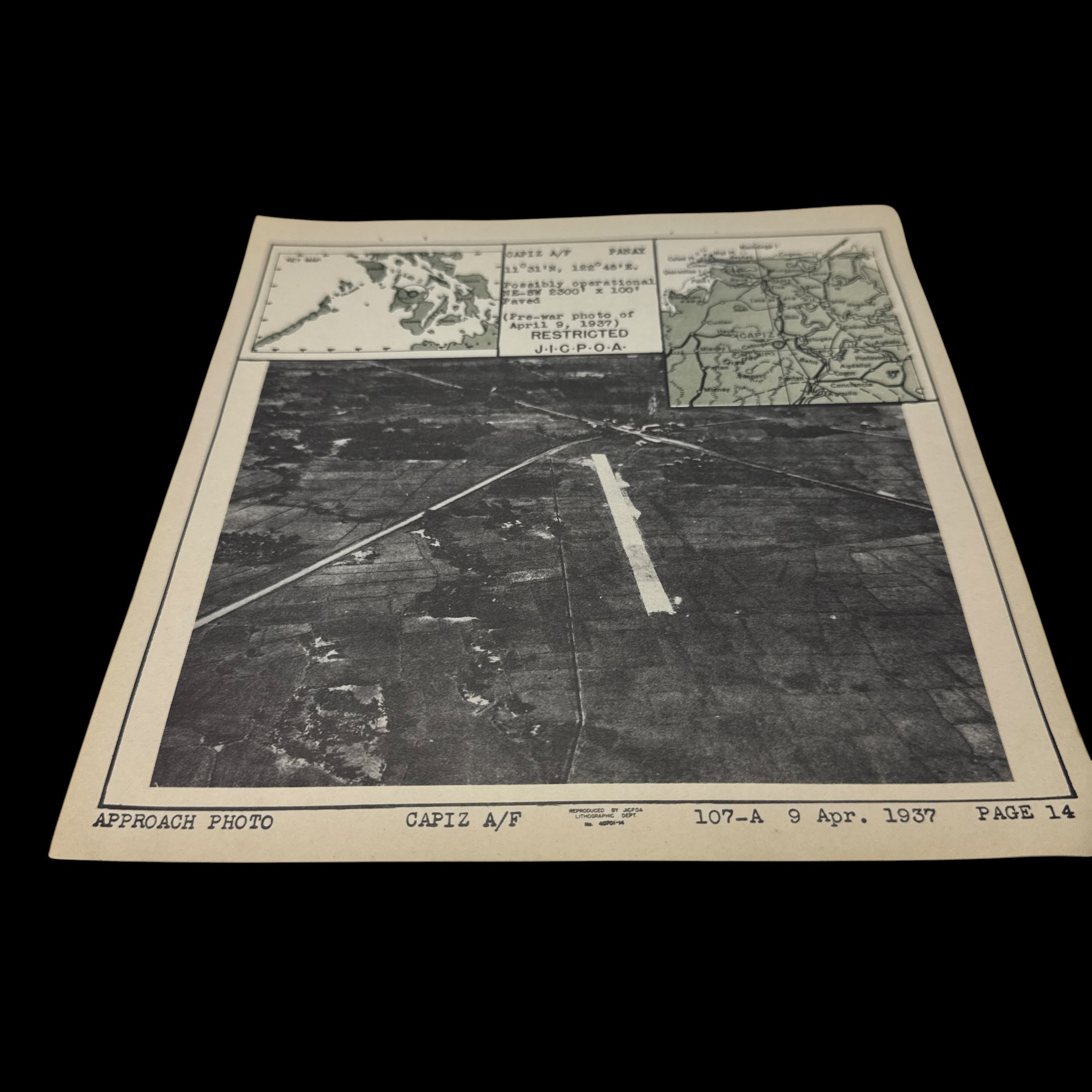
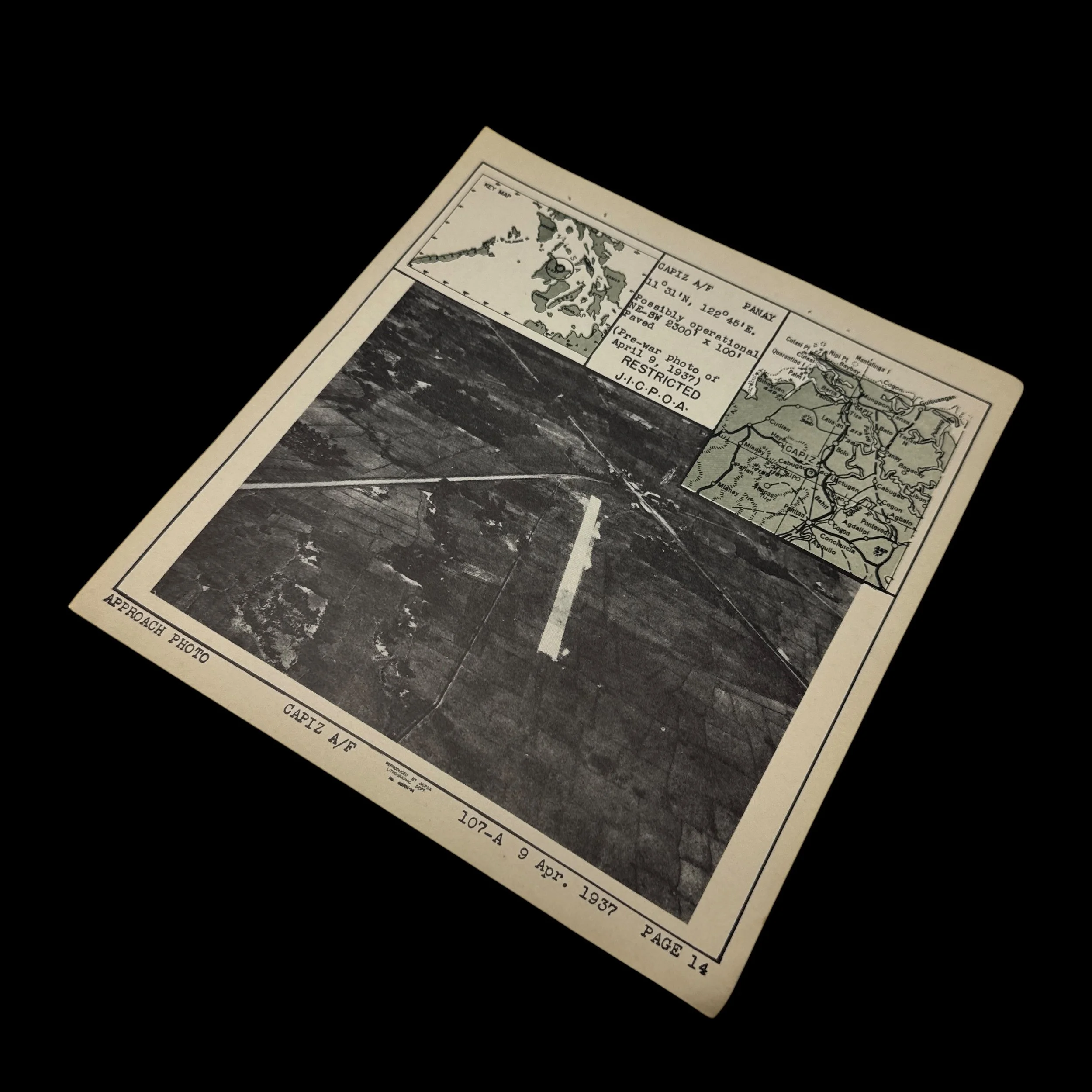
The artifact is an original World War II "Approach Photo" and target map for the Capiz Airfield (CAPIZ A/F), located on Panay Island in the Philippines. Produced by the Lithographic Department of the Joint Intelligence Center Pacific Ocean Areas (J.I.C.P.O.A.), it served as a highly classified ("RESTRICTED") pre-strike briefing document for USS Lexington Air Group aircrews. Because the U.S. military lacked fresh aerial reconnaissance of the occupied Philippines early in the 1944 campaign, intelligence officers relied on a pre-war photograph dated April 9, 1937, to detail the target. The document specifies the airfield's location at coordinates 11°31'N, 122°45'E and describes it as having a "Possibly operational NE-SW 2300' x 100' Paved" runway, warning pilots that the Japanese forces likely had the strip in working order.
Based on the artifact's nature and Victor Stankevich's service record, this document was utilized by Bombing Squadron 19 (VB-19) aboard the aircraft carrier USS Lexington (CV-16). In late 1944, particularly during September and October, the USS Lexington and Admiral Halsey’s Task Force 38 conducted aggressive, sweeping airstrikes across the Visayas. Capiz Airfield, situated in northern Panay, was part of a vital network of Japanese-held bases used to launch counterattacks against the U.S. fleet. Pilots and crew members like Stankevich, flying in SB2C Helldiver dive bombers, would have studied this specific approach photo to memorize the topography before launching combat sorties to crater the runway and destroy parked enemy aircraft ahead of the Allied invasion of Leyte.
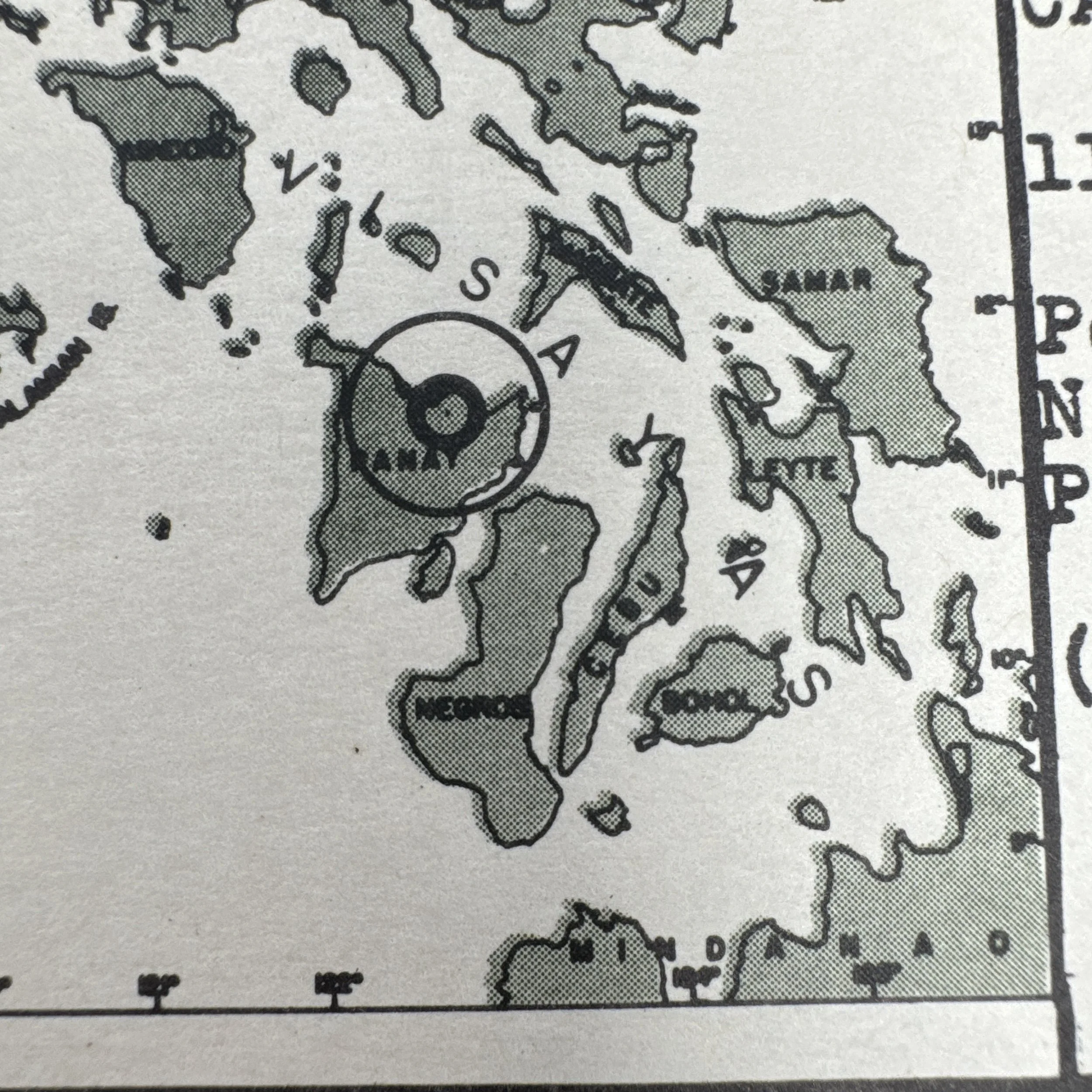
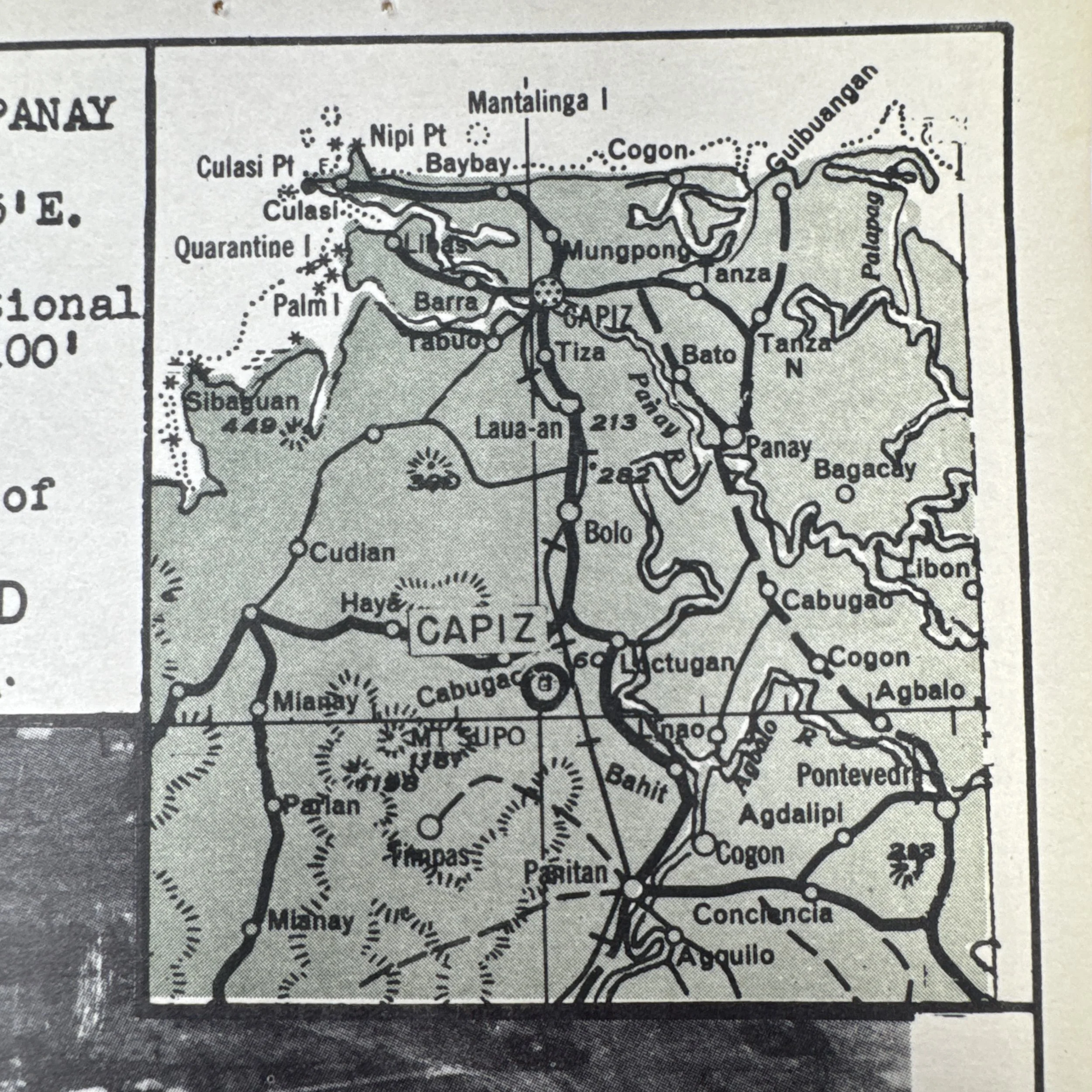
To ensure pilots could accurately identify the target while flying at high speeds, the document integrates several critical visual aids. The top-left "Key Map" provides a regional overview, using a bold target ring to pinpoint Panay Island in relation to neighboring islands like Mindoro, Negros, Cebu, and Leyte. The central aerial photograph gives a direct overhead view of the single paved airstrip cutting diagonally through the surrounding agricultural terrain and local roads. Additionally, the topographical inset thoroughly maps the coastal layout of Capiz (now Roxas City) and surrounding municipalities like Panay, Pontevedra, and Mianay, detailing the precise coastlines and rivers that a dive bomber crew would use as visual waypoints to line up their final attack run.