RARE! WWII 1944 Battle of Leyte Gulf USS Lexington (CV-16) Curtiss SB2C Helldiver USN Pilot's Cockpit Combat Target Map
RARE! WWII 1944 Battle of Leyte Gulf USS Lexington (CV-16) Curtiss SB2C Helldiver USN Pilot's Cockpit Combat Target Map
Comes with a hand-signed C.O.A.
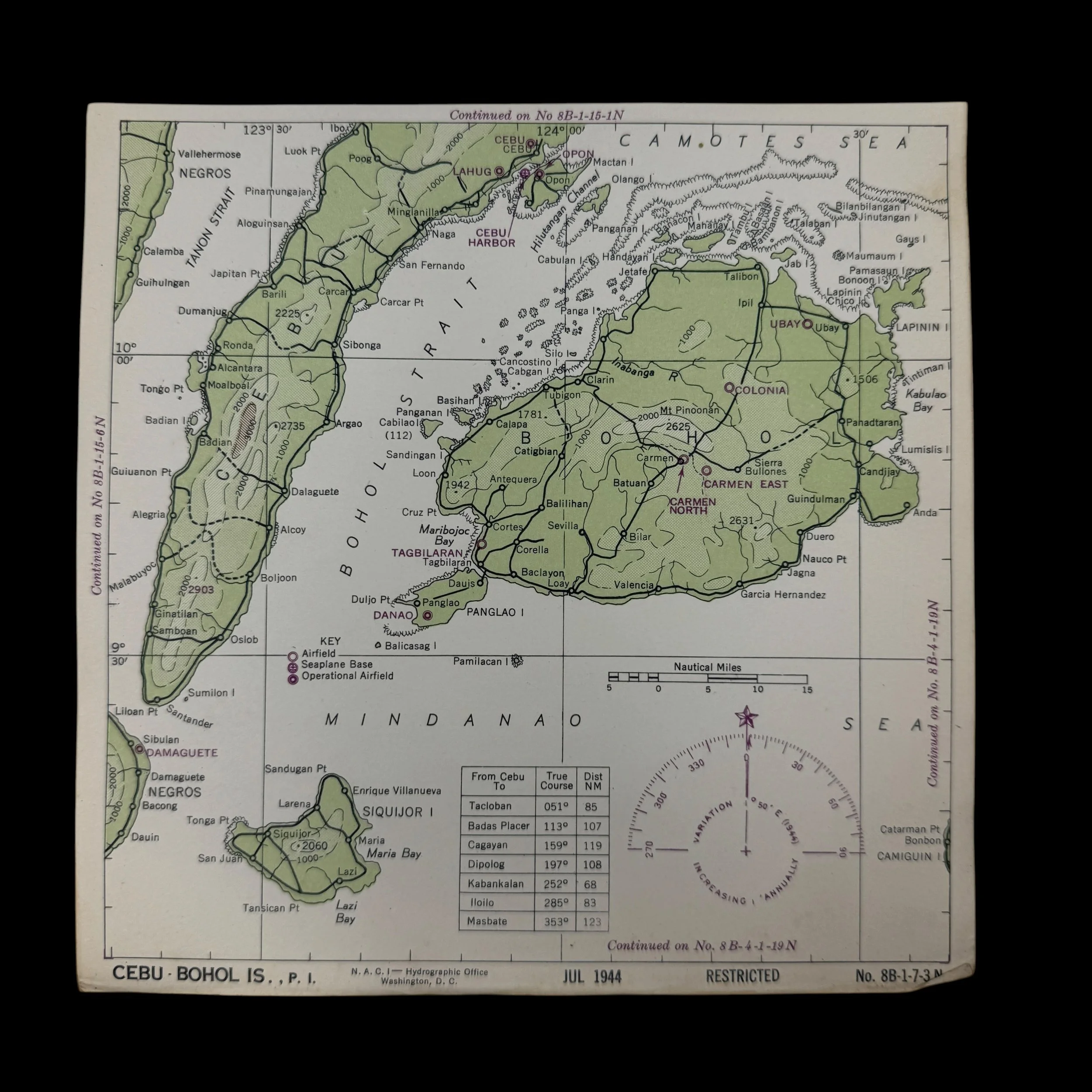
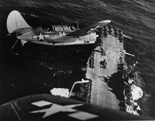
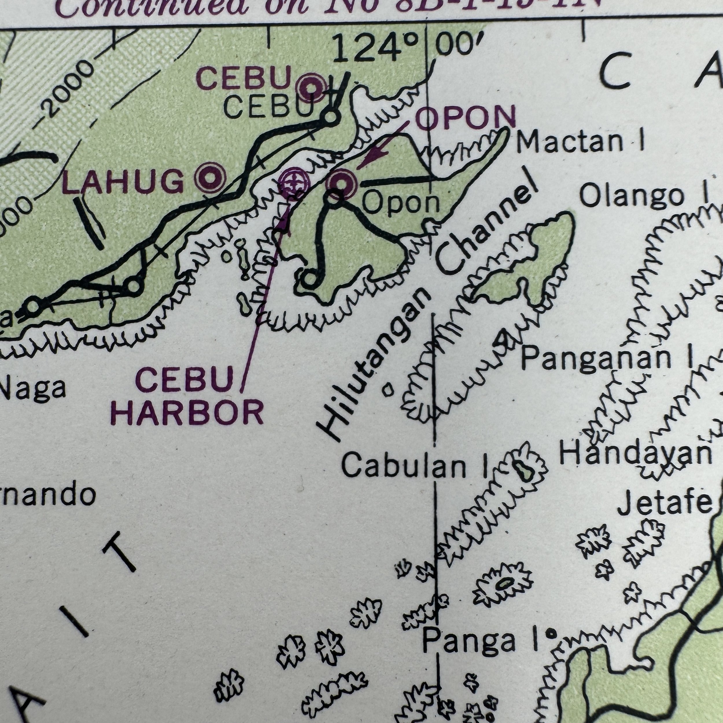
*This combat map was used by Victor Stankevich a WWII pilot in Bombing Squadron 19 (VB-19). Victor Stankevich utilized this exact chart while flying a Curtiss SB2C Helldiver, which served as the US Navy's primary carrier-based dive bomber during the latter half of the war. During 1944, VB-19 was attached to Carrier Air Group 19 aboard the USS Lexington (CV-16), operating as part of Admiral William Halsey's Third Fleet, also known as Task Force 38. Crew members like Stankevich used these cockpit charts for dead reckoning, identifying targets, and safely plotting return headings to their carrier fleet operating offshore in the Philippine Sea. This specific chart was utilized by Victor Stankevich, a naval aviator assigned to Bombing Squadron 19 (VB-19). During the fall of 1944, VB-19 was attached to Carrier Air Group 19 aboard the Essex-class aircraft carrier USS Lexington (CV-16). Flying the rugged SB2C Helldiver dive bombers, Stankevich and his squadron played a crucial role in Admiral William "Bull" Halsey's devastating strikes against the Philippines in preparation for the impending Battle of Leyte Gulf. Between September 12th and 24th, 1944, VB-19 launched heavy aerial assaults precisely against the areas depicted on this map. During these operations, they dropped hundreds of tons of ordnance on the Lahug and Opon airfields and destroyed Japanese shipping vessels anchored directly in Cebu Harbor. Stankevich would have relied on this exact chart to navigate these harrowing bombing runs through heavy anti-aircraft fire, calculate his strike vectors, and ensure a safe return heading to the Lexington waiting offshore.
Size: 8 × 8 inches
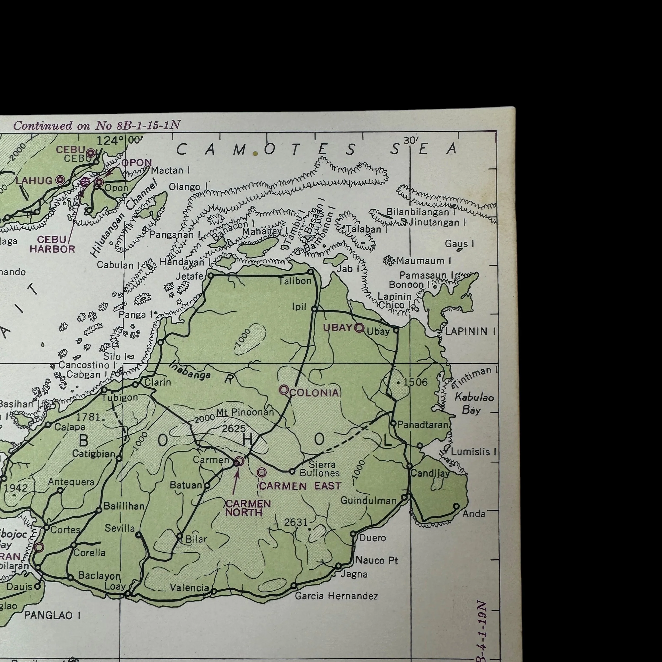
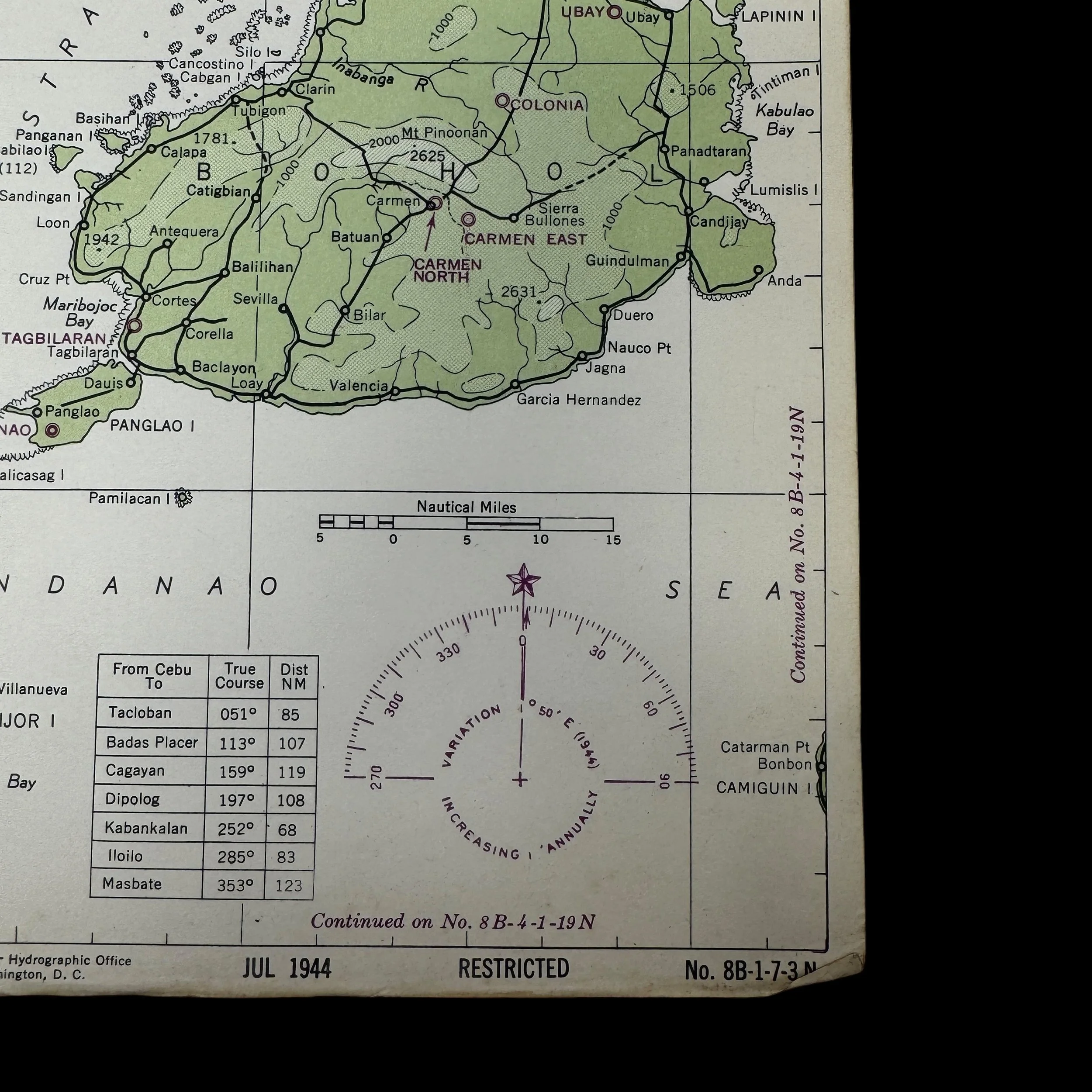
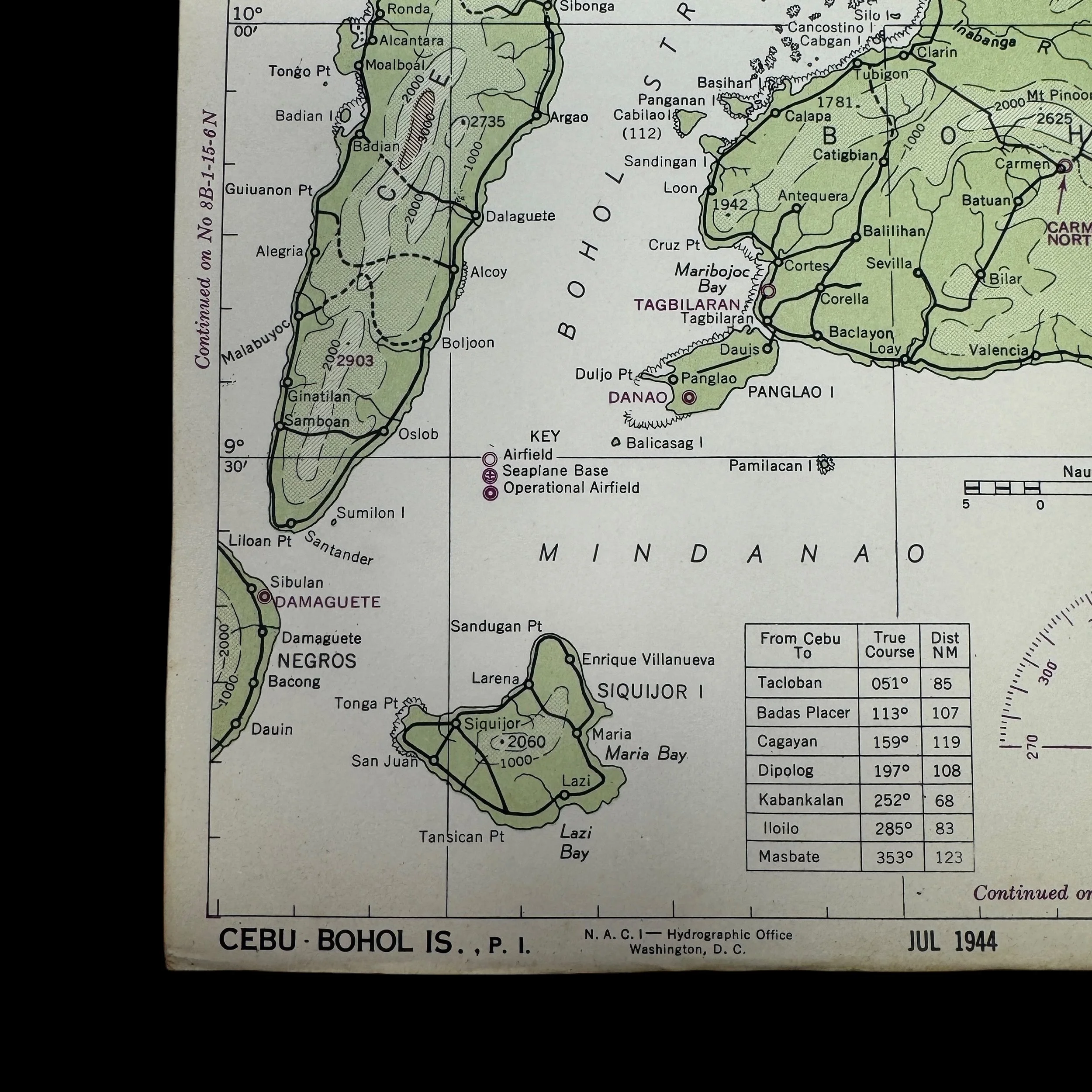
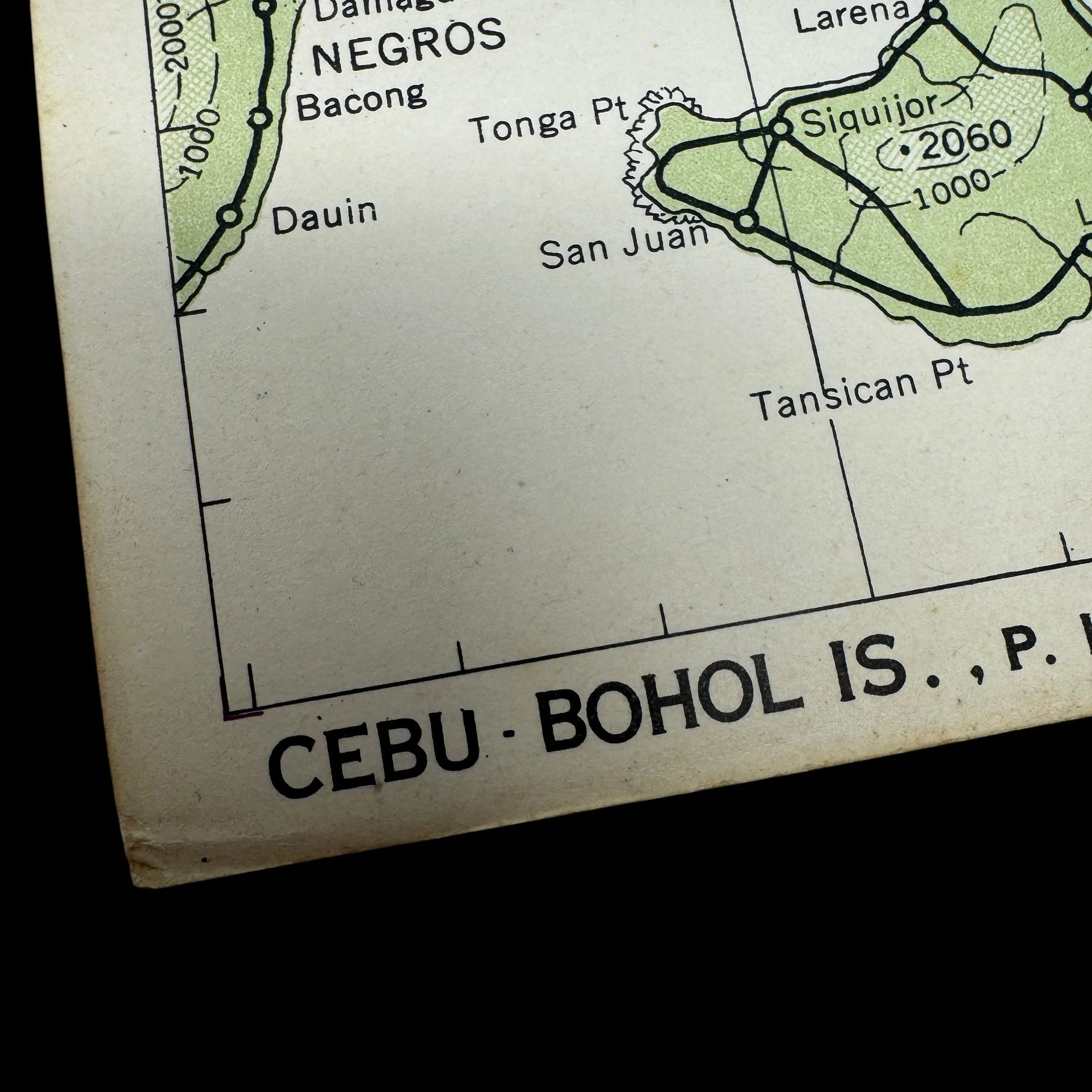
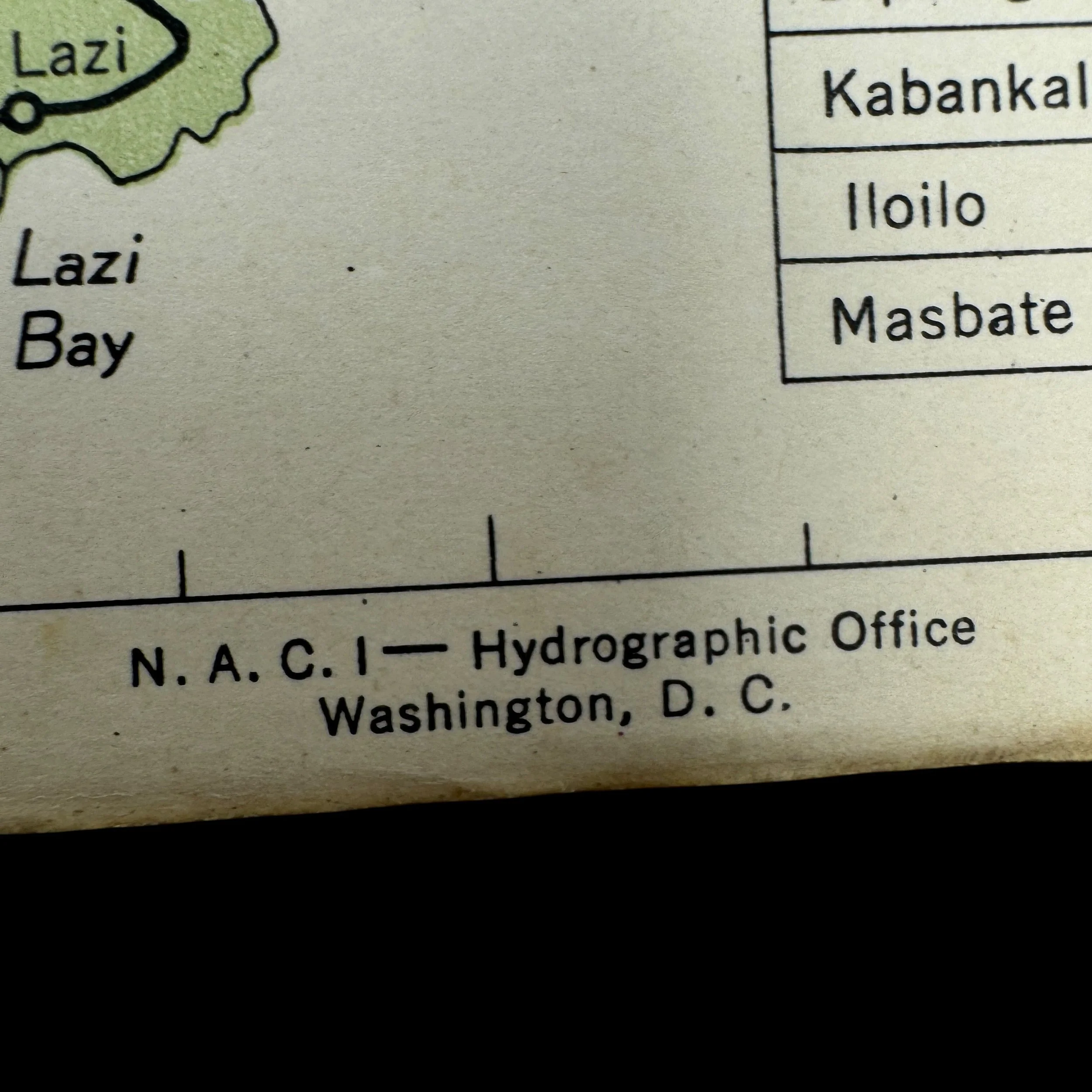
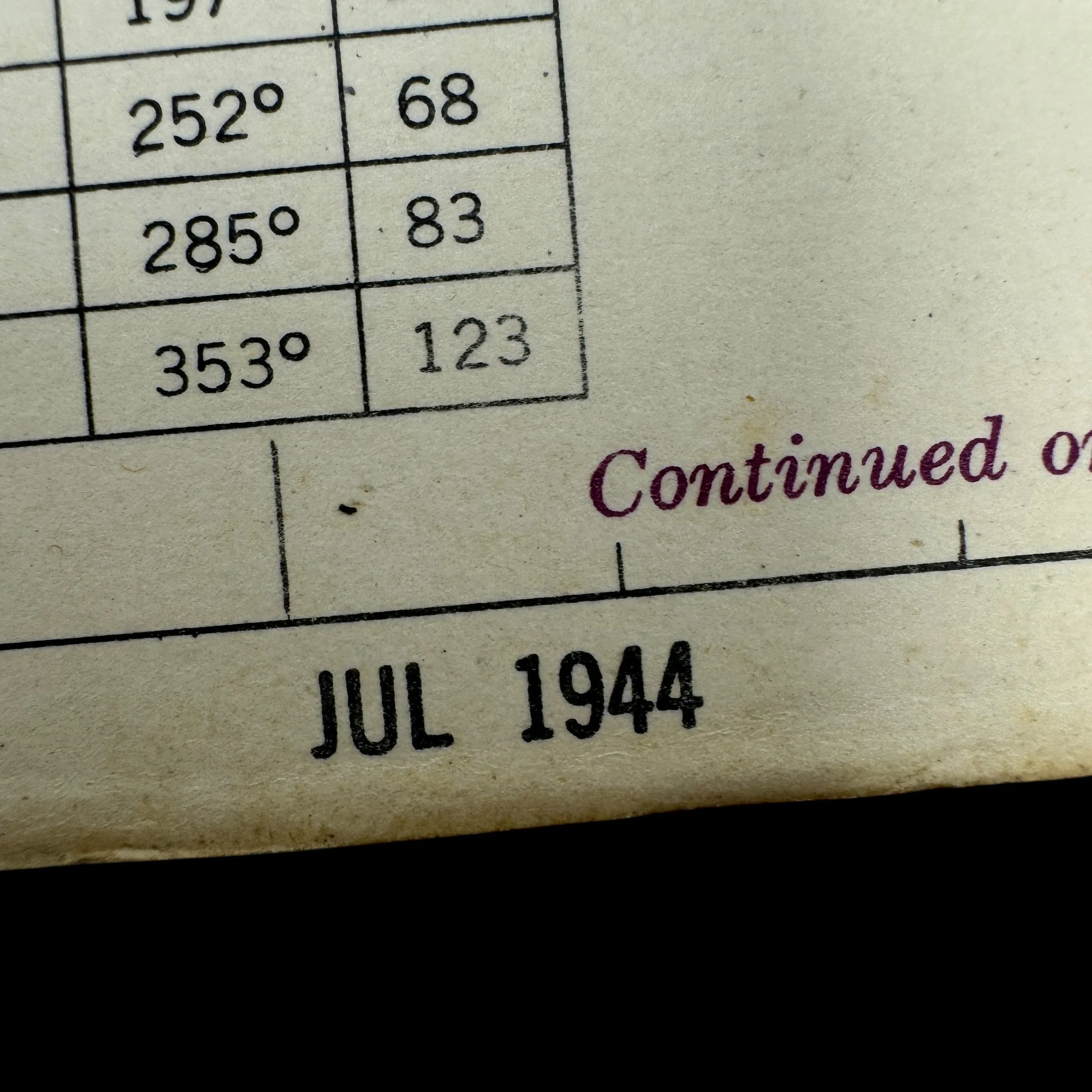
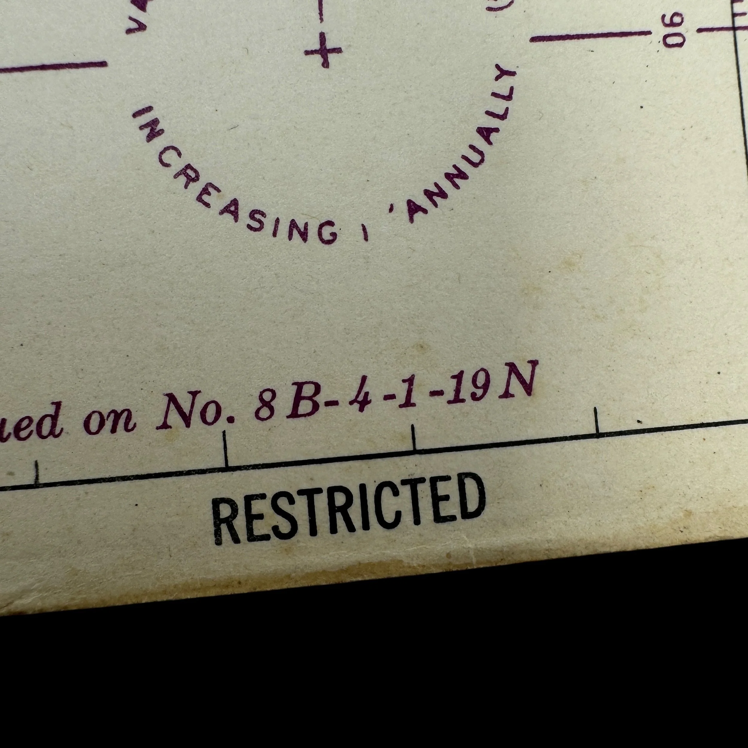
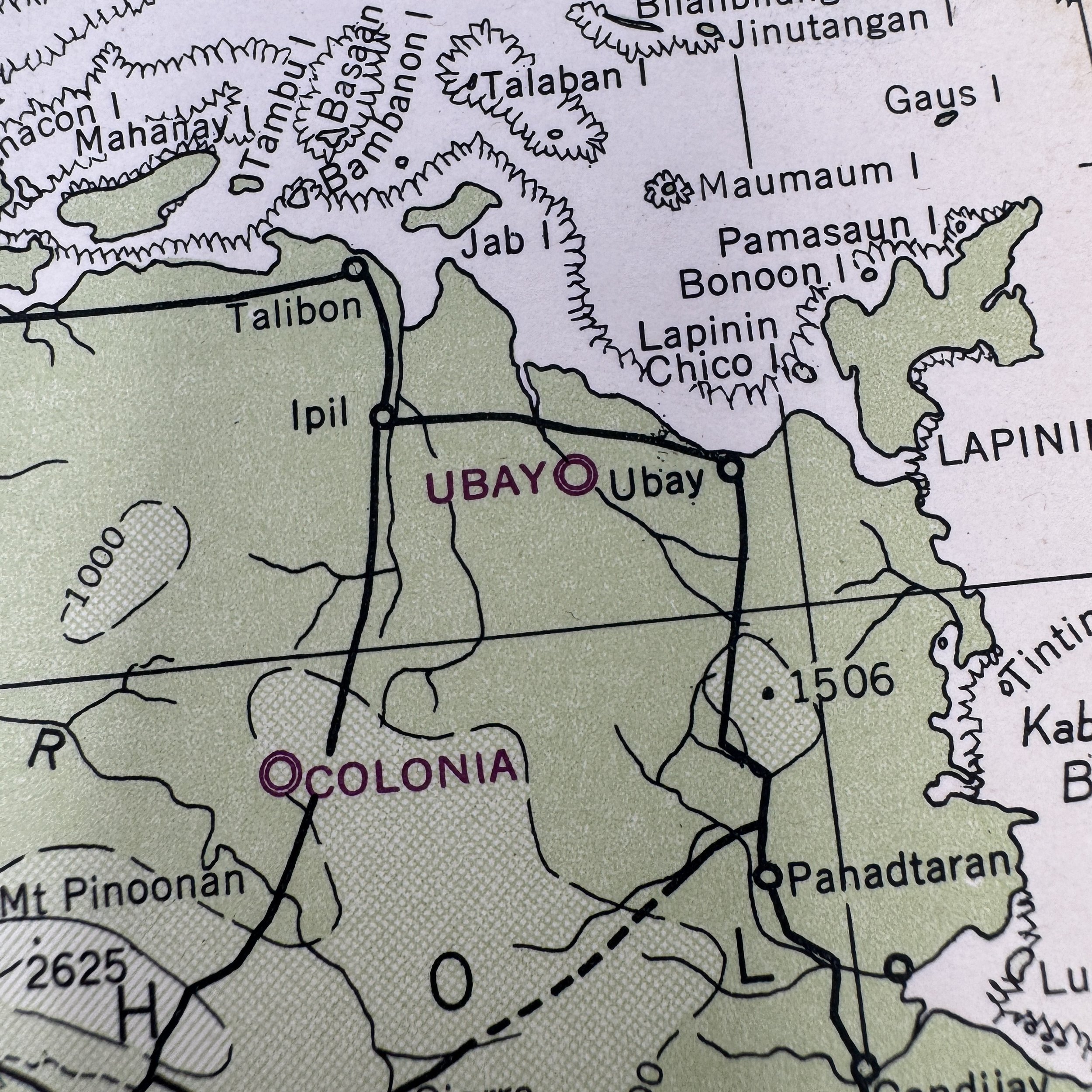
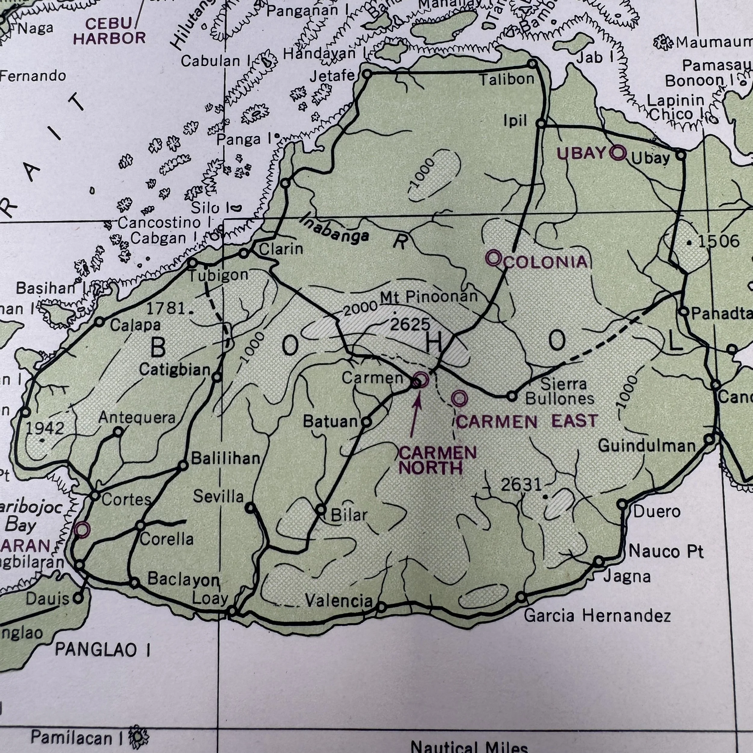
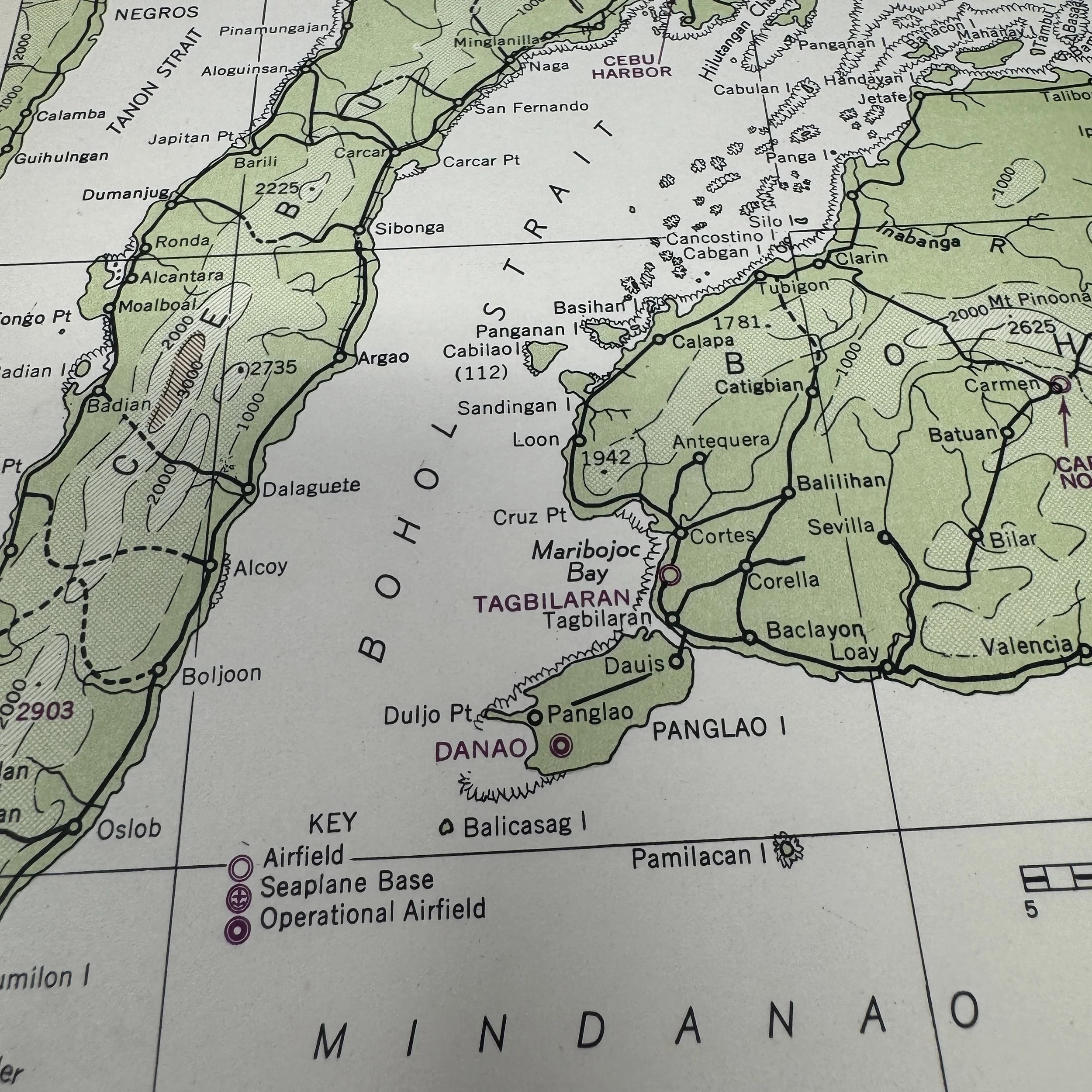
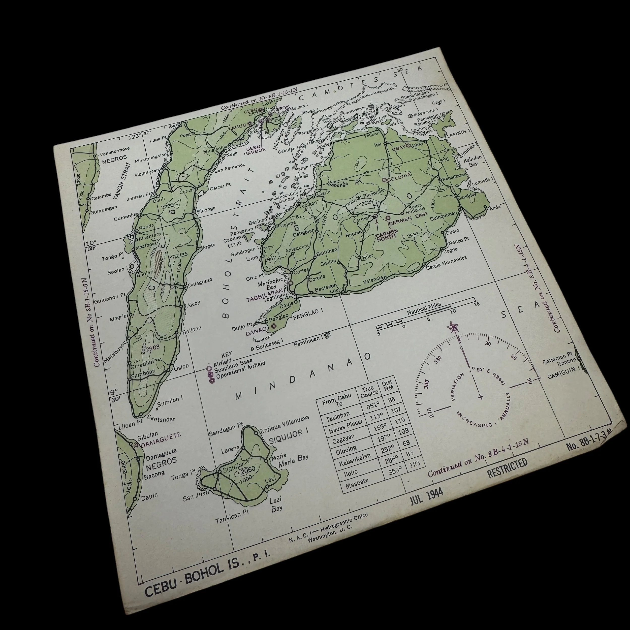
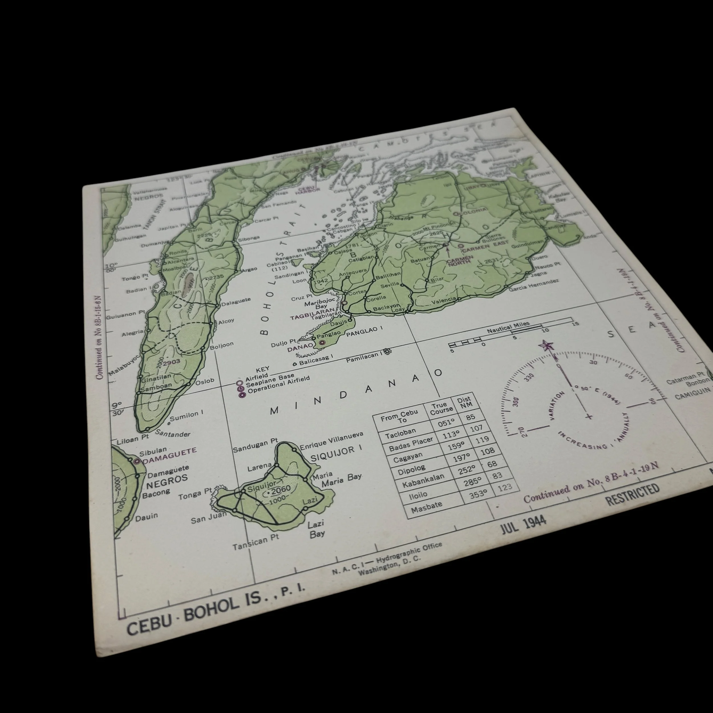
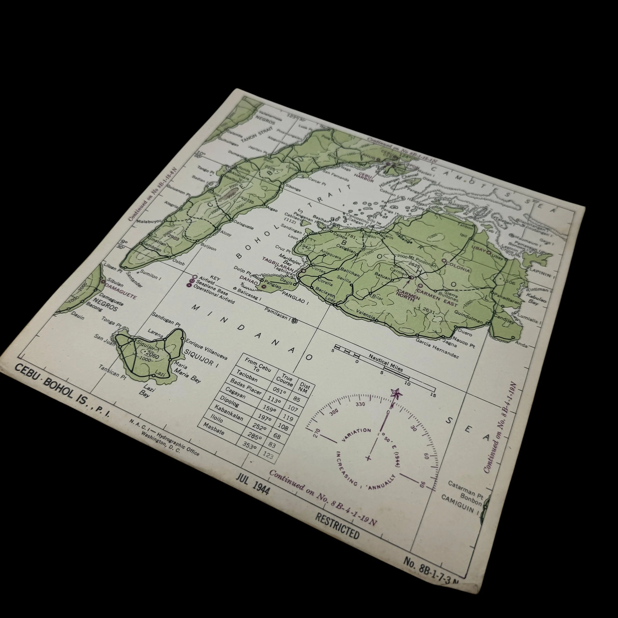
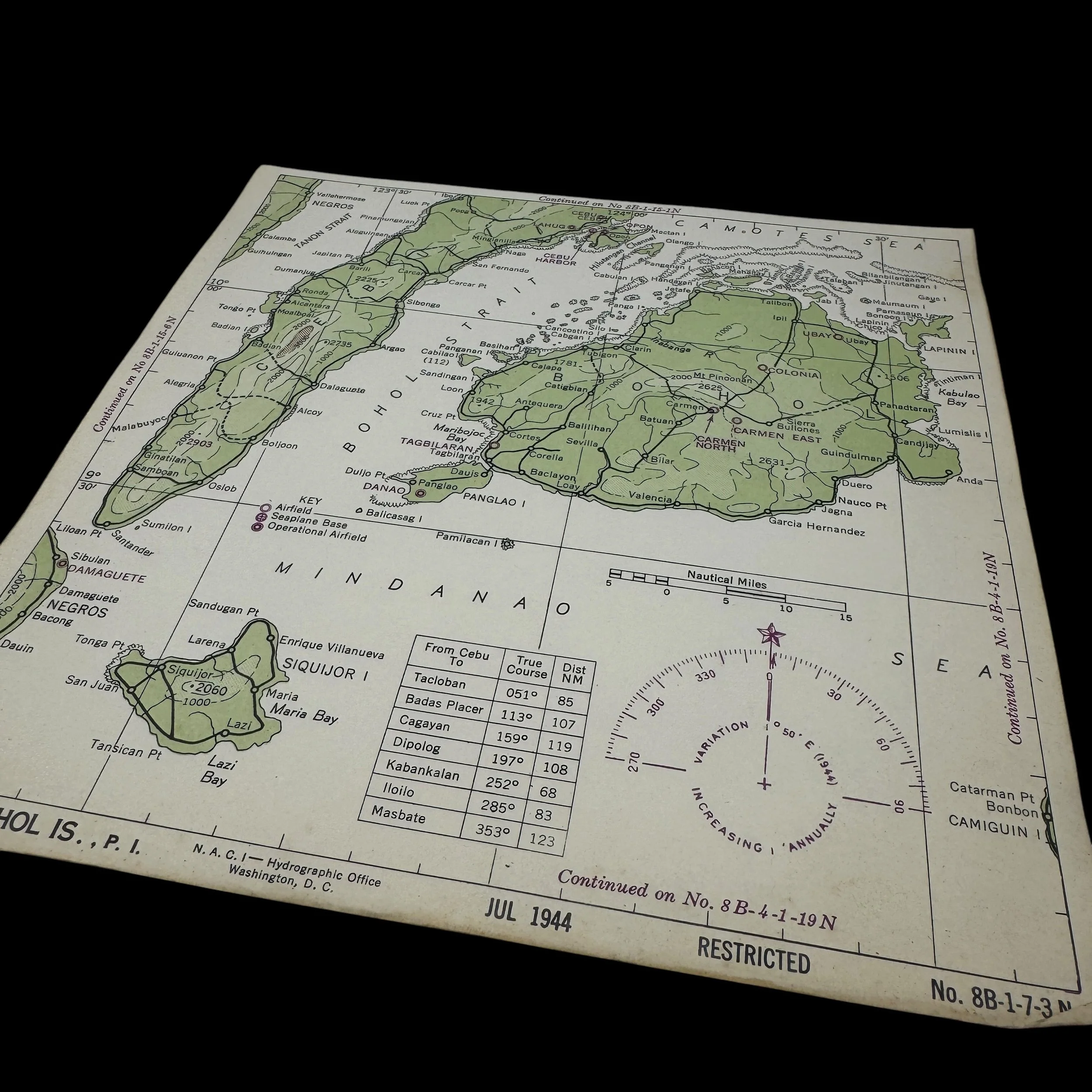
This artifact is a World War II aviator's navigational plotting and survival chart (designated No. 8B-1-7-3N), published in July 1944 by the U.S. Naval Air Combat Intelligence (N.A.C.I.) - Hydrographic Office in Washington, D.C.. Stamped "RESTRICTED", this specific map covers the Visayan Islands in the Philippines, prominently featuring Cebu, Bohol, Siquijor, and the surrounding Mindanao Sea. These compact charts, which were sometimes printed on durable materials like rayon cloth to create waterproof "handkerchief maps," were designed to withstand the harsh conditions of a combat cockpit or a water landing. The map features a compass rose indicating a 1944 magnetic variation, confirming its direct production for the intense Pacific Theater campaigns of that year.
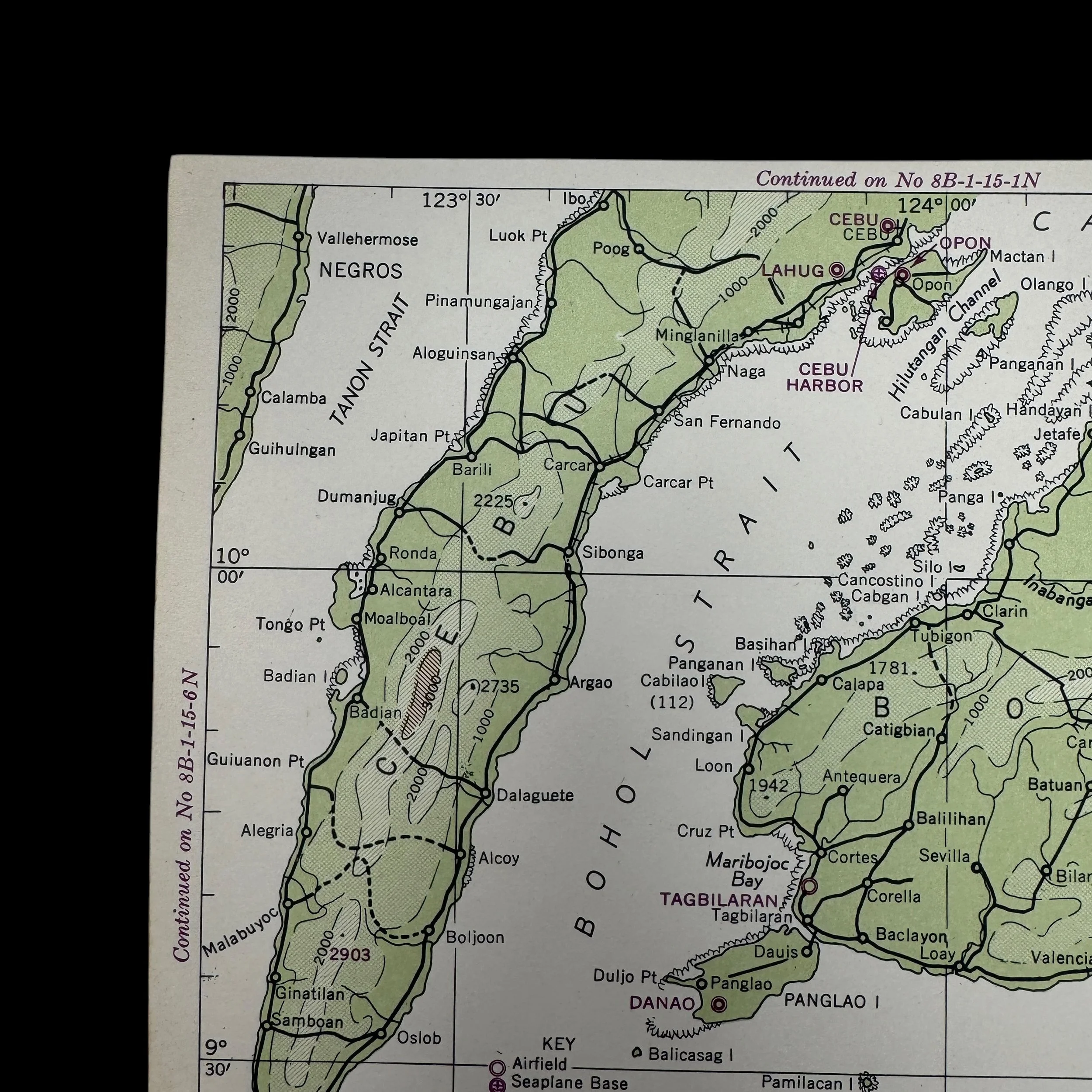
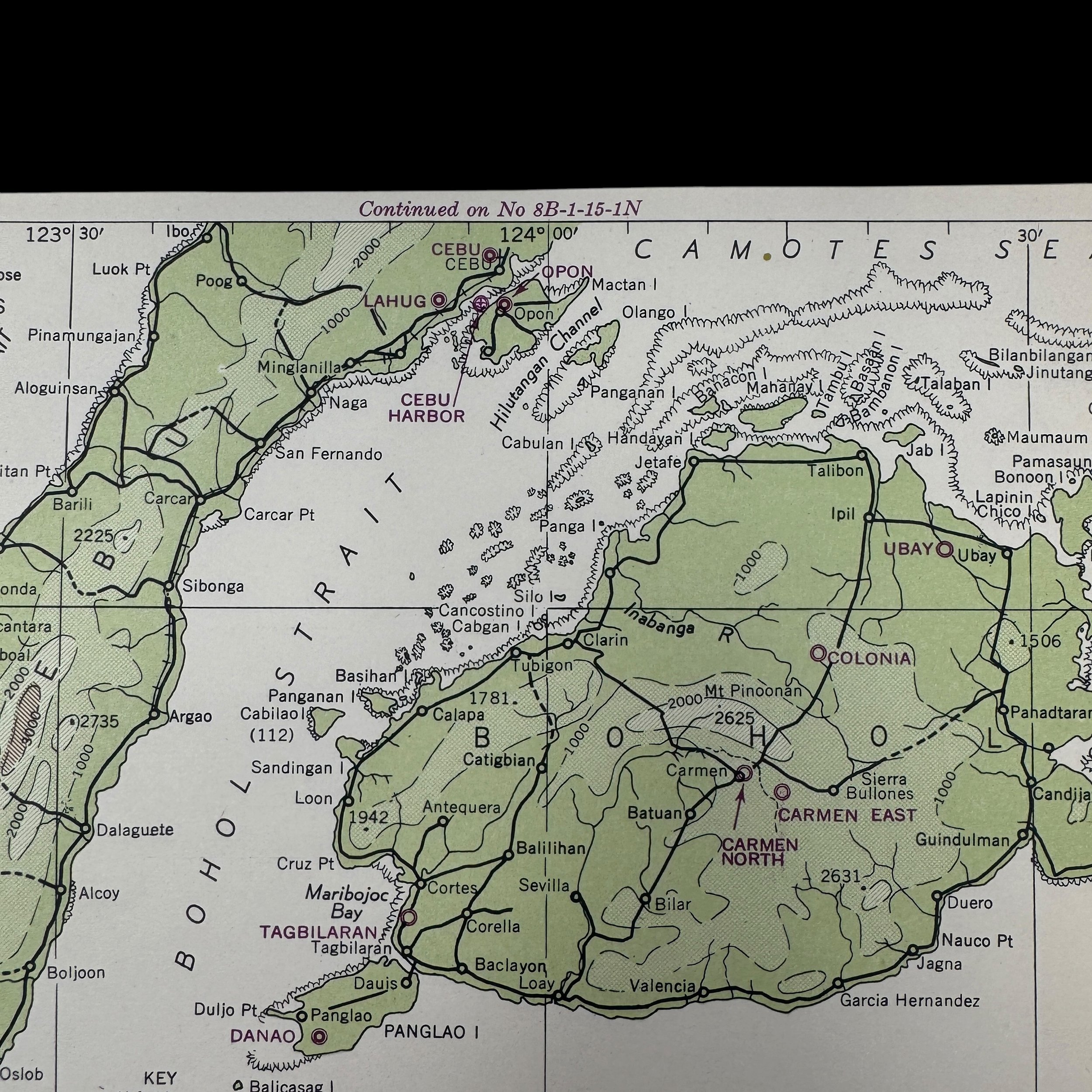
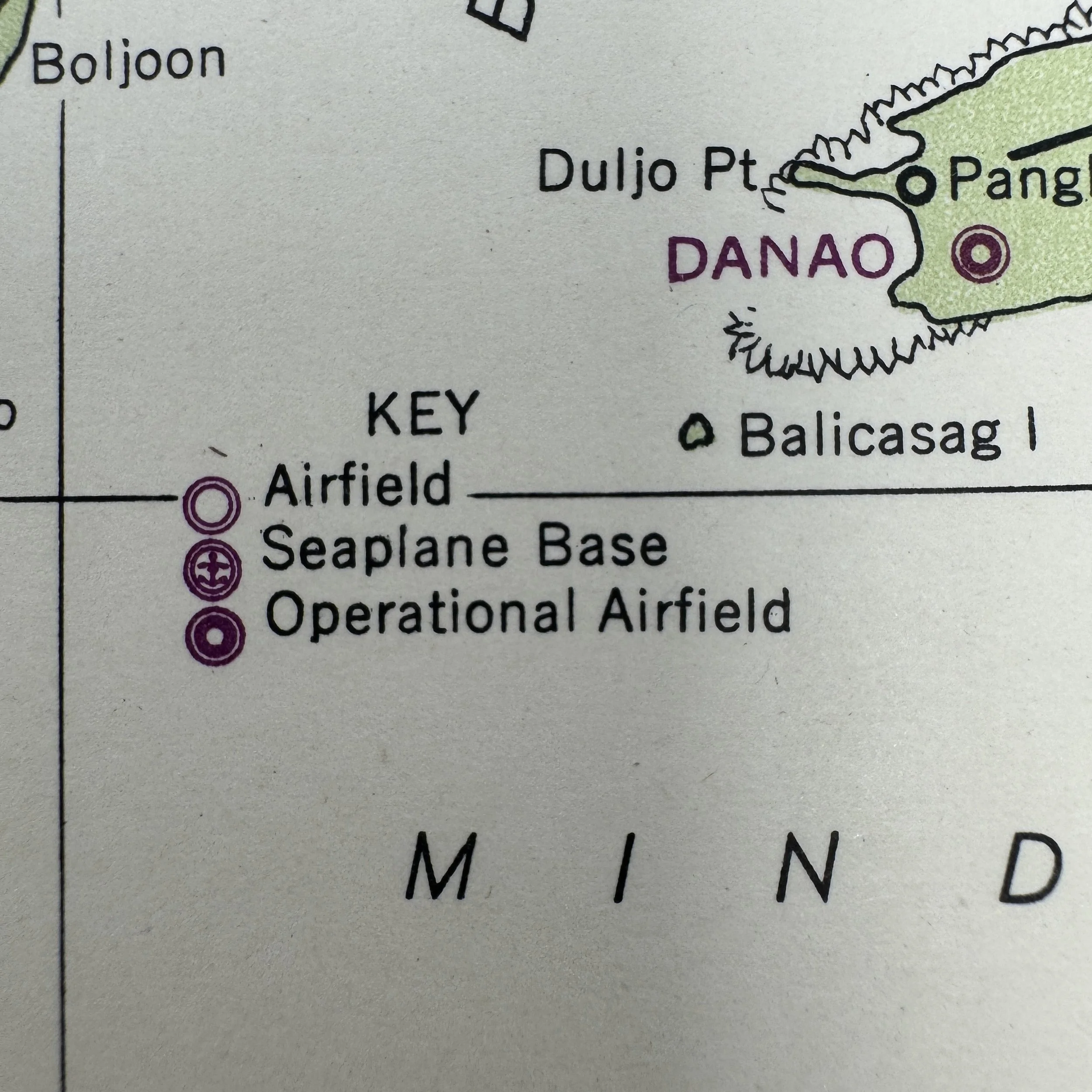
Functioning as a vital in-flight reference and a contingency survival tool, the map is heavily annotated with strategic military details. The legend in the lower-left corner identifies key aviation infrastructure, distinguishing between operational airfields, indicated by a solid dot inside a double circle, and seaplane bases. Looking closely at the map's details, major Japanese-held targets are clearly marked, including the critical airfields at Lahug and Opon on Mactan Island, as well as the deep-water facilities of Cebu Harbor. Additionally, a true-course nautical mileage table at the bottom provided the pilot with instant headings and distances from Cebu to other major regional hubs like Tacloban, Dipolog, and Iloilo. If a pilot was forced to ditch their aircraft or bail out, this chart would be essential for navigating to safe coastlines, locating friendly guerilla forces, or coordinating a sea rescue.
This specific chart was utilized by Victor Stankevich, a naval aviator assigned to Bombing Squadron 19 (VB-19). During the fall of 1944, VB-19 was attached to Carrier Air Group 19 aboard the Essex-class aircraft carrier USS Lexington (CV-16). Flying the rugged SB2C Helldiver dive bombers, Stankevich and his squadron played a crucial role in Admiral William "Bull" Halsey's devastating strikes against the Philippines in preparation for the impending Battle of Leyte Gulf. Between September 12th and 24th, 1944, VB-19 launched heavy aerial assaults precisely against the areas depicted on this map. During these operations, they dropped hundreds of tons of ordnance on the Lahug and Opon airfields and destroyed Japanese shipping vessels anchored directly in Cebu Harbor. Stankevich would have relied on this exact chart to navigate these harrowing bombing runs through heavy anti-aircraft fire, calculate his strike vectors, and ensure a safe return heading to the Lexington waiting offshore.