VERY RARE! WWII 1945 "1st Edition" European Theater of Operations U.S. Pilot & Navigator Plotting Series Bomber Aircraft Combat Flight Map
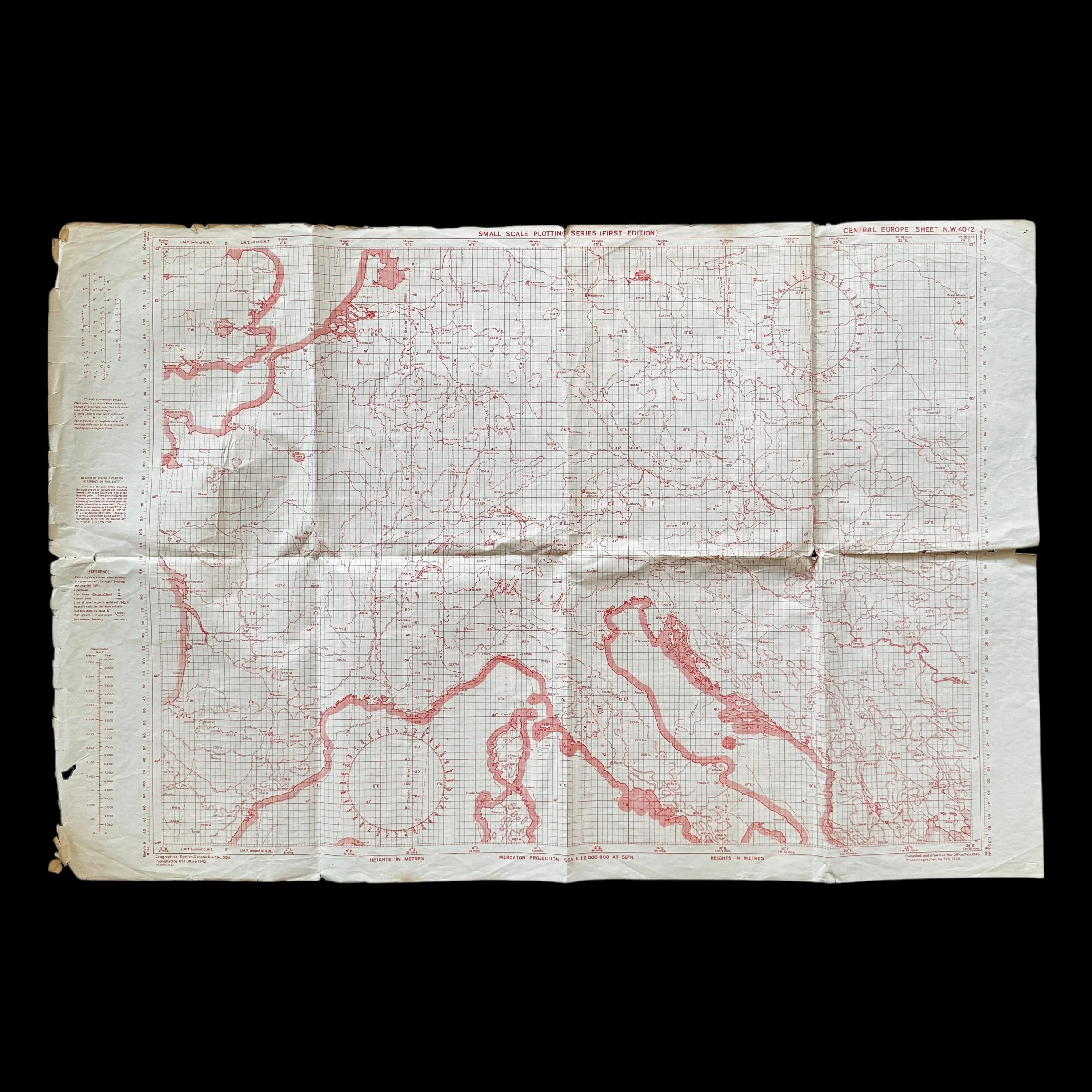

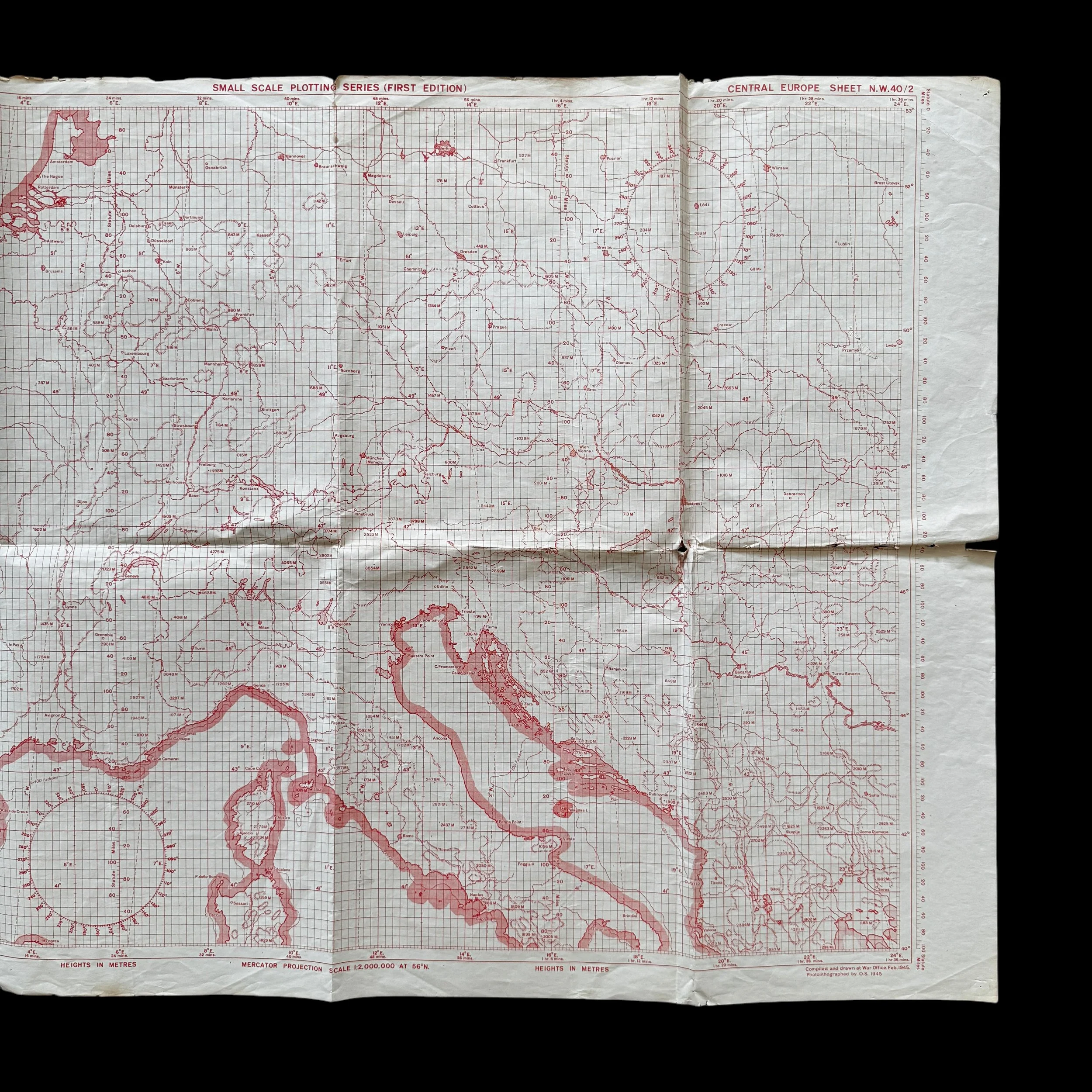
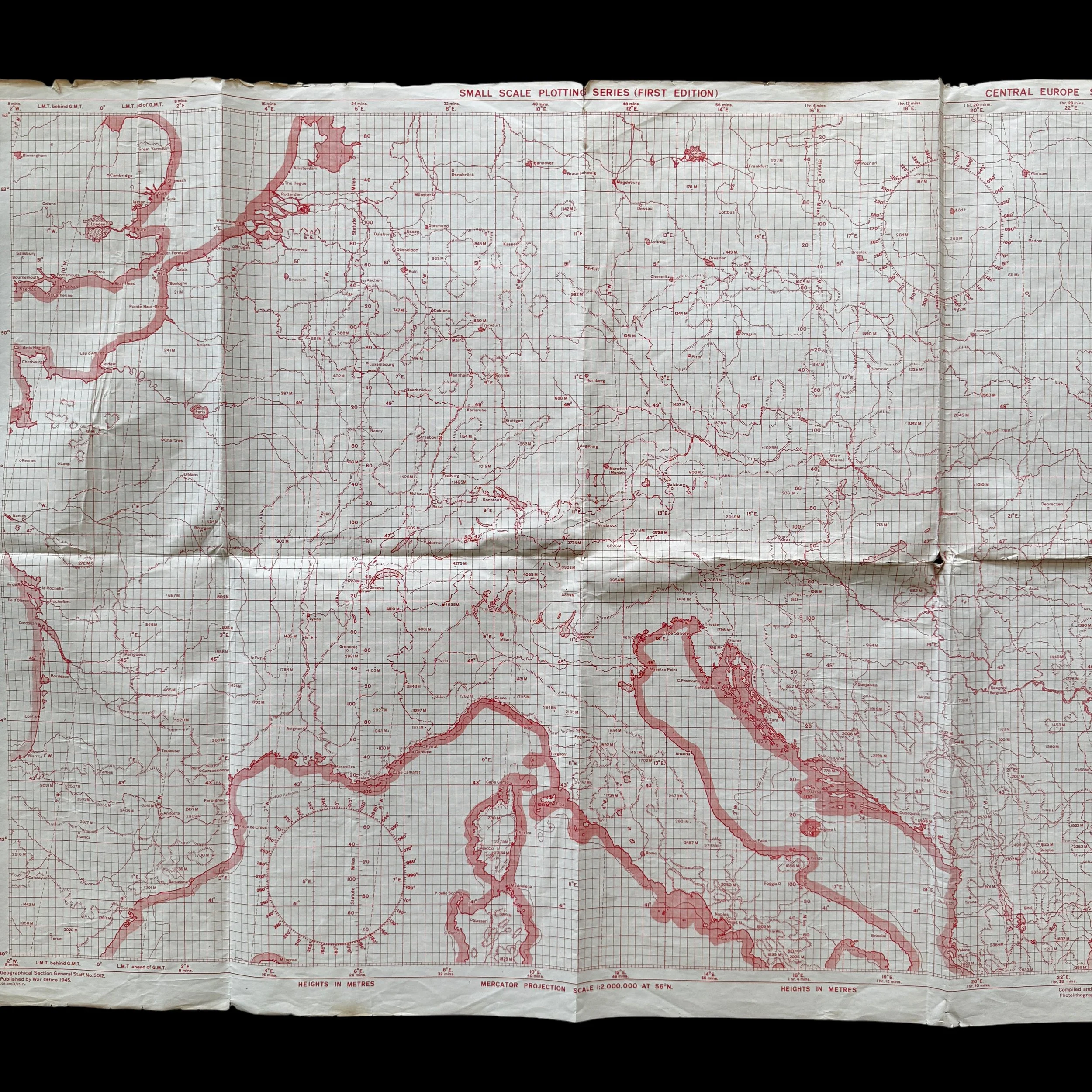
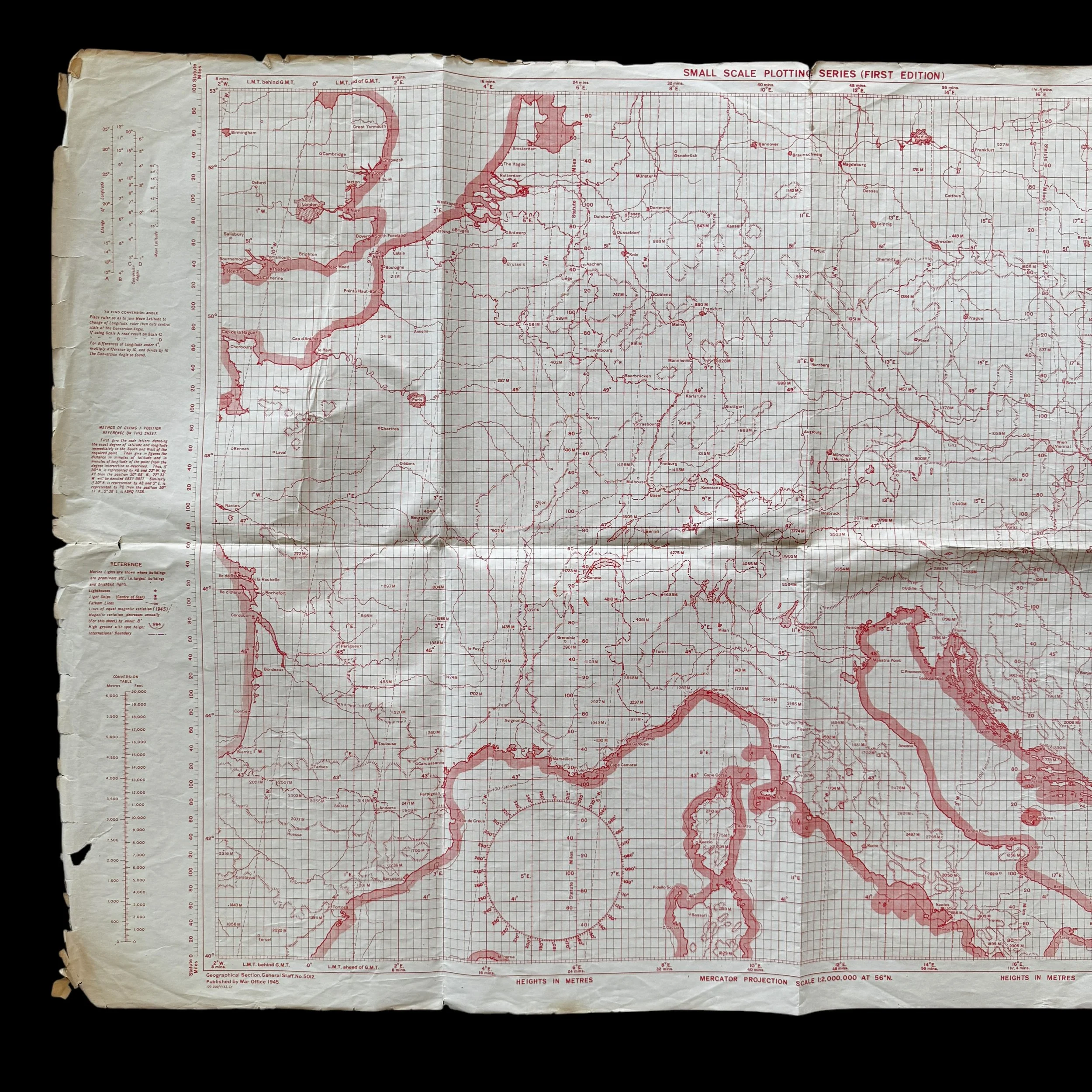
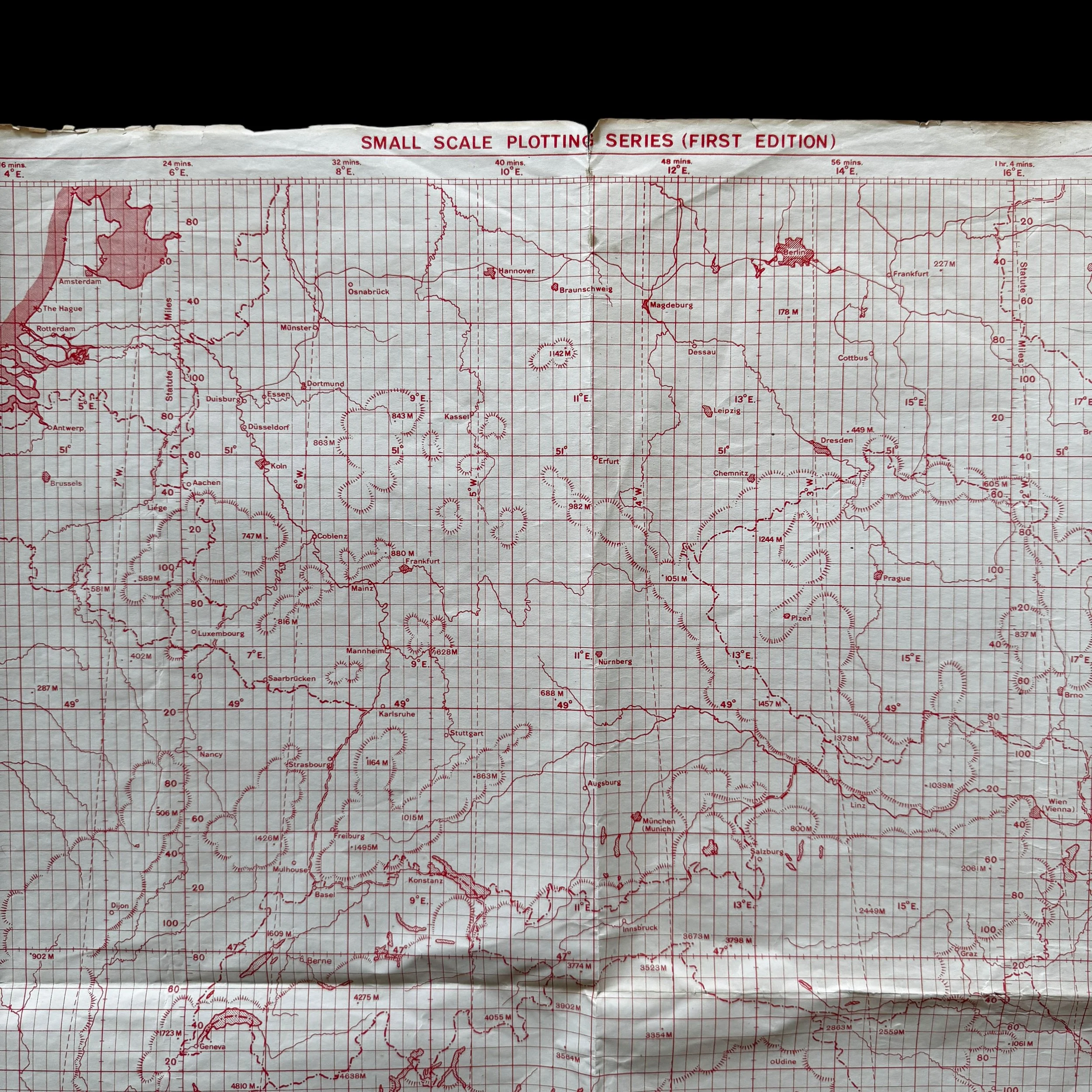
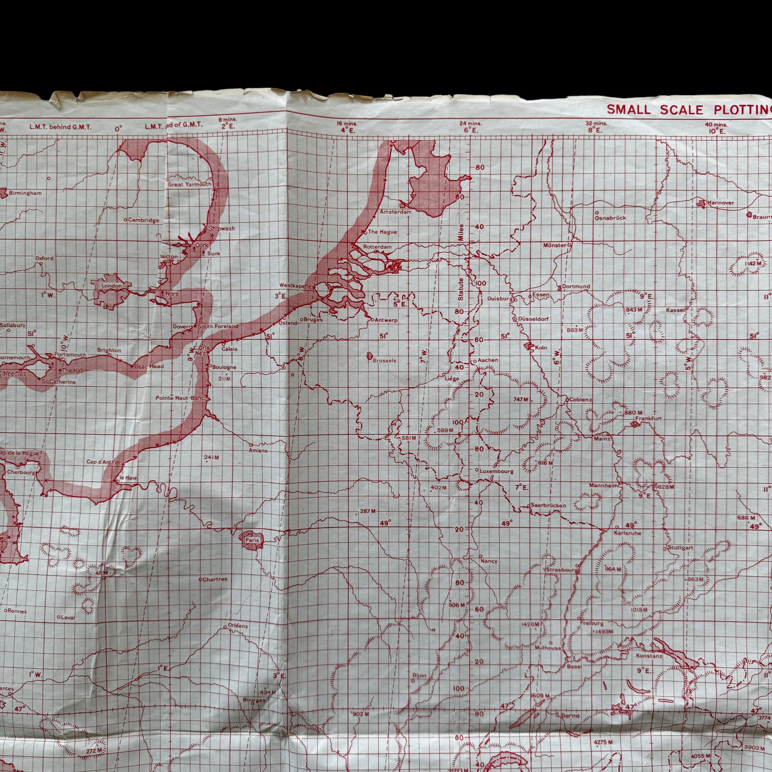
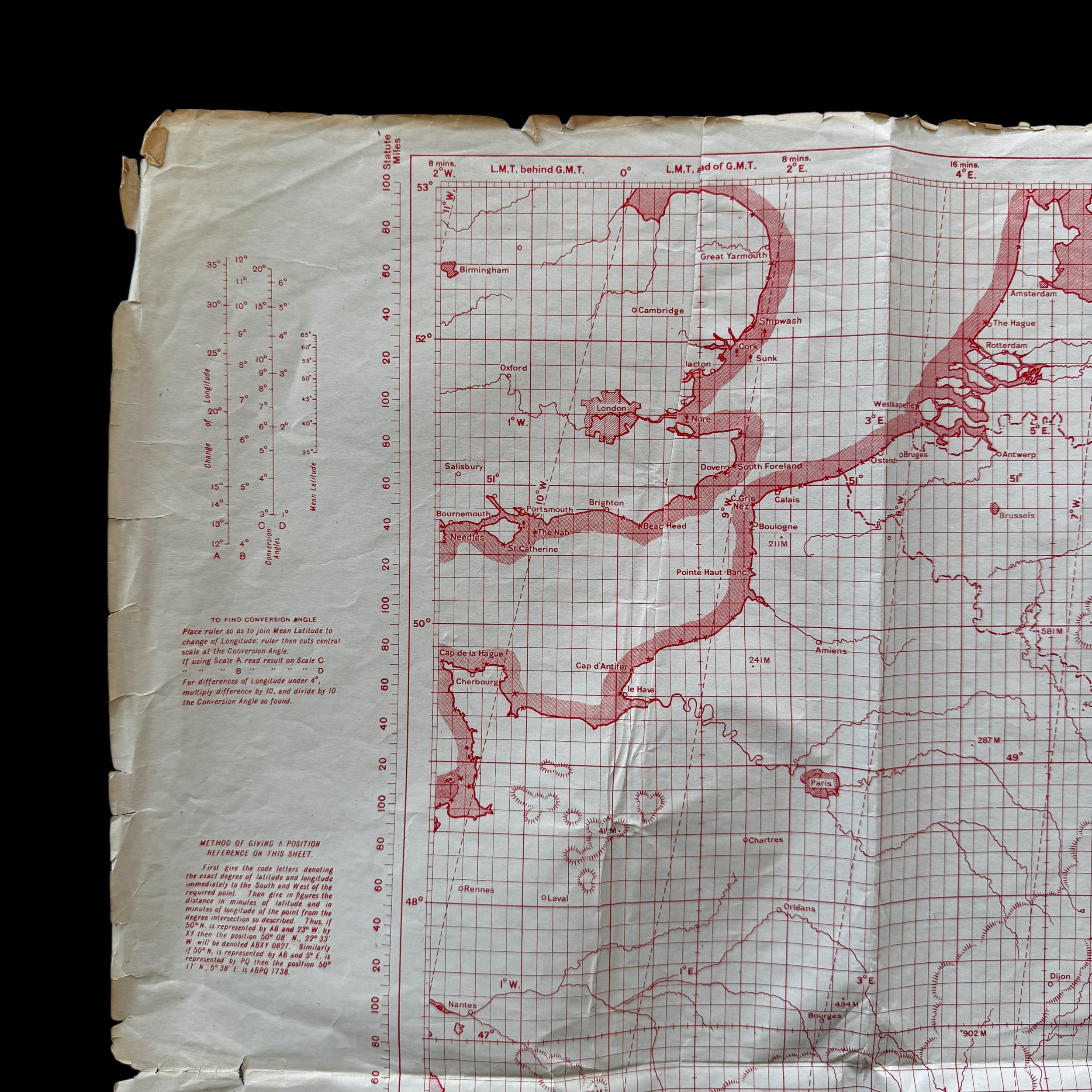

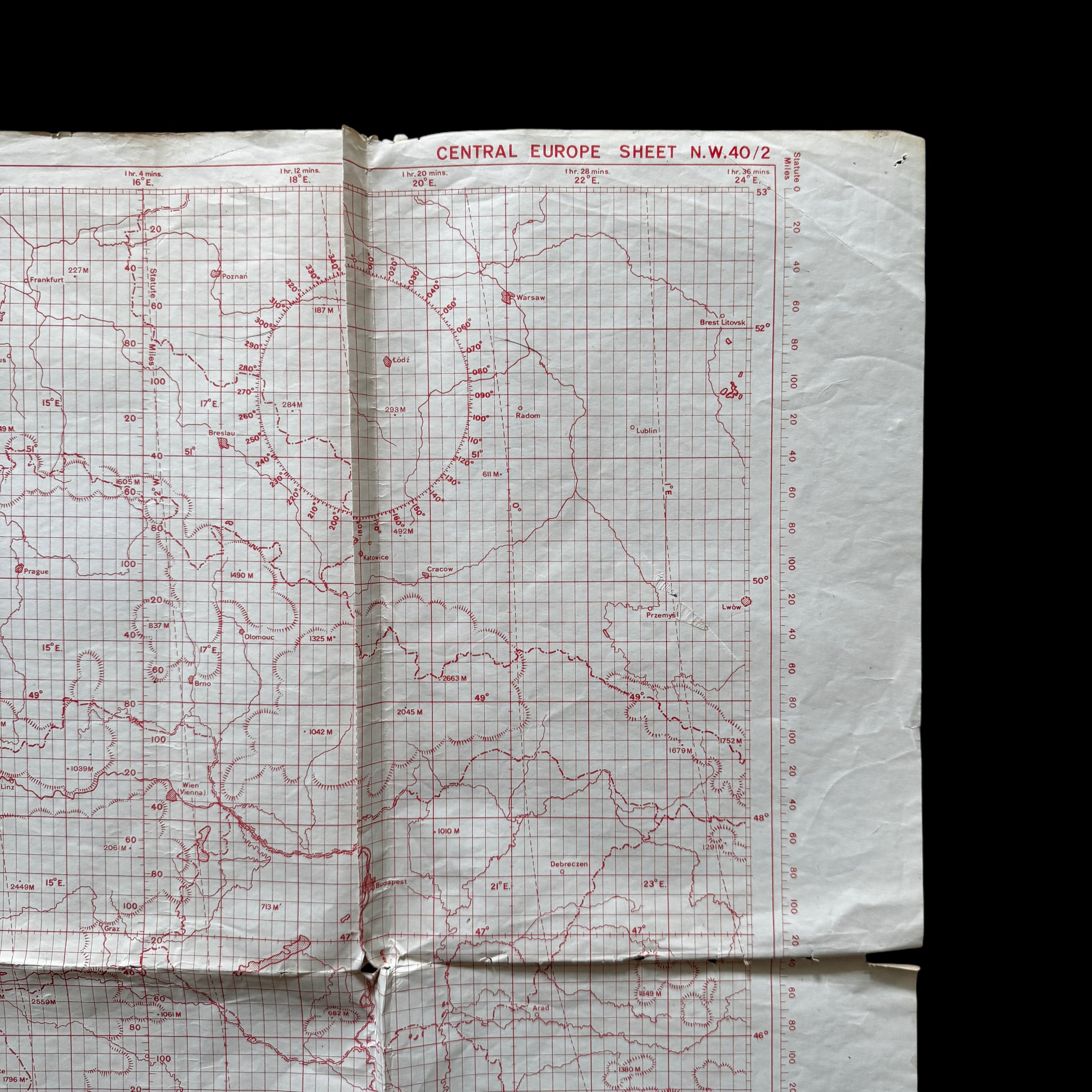
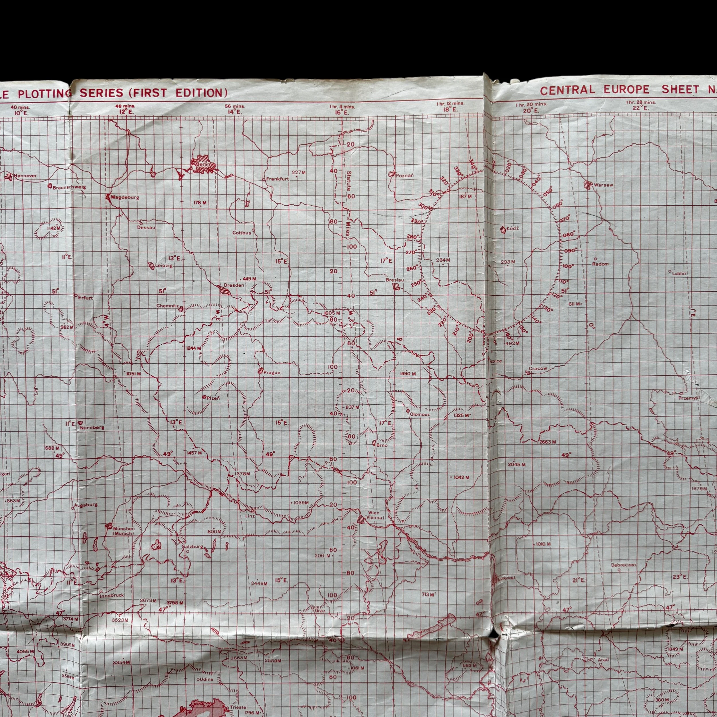
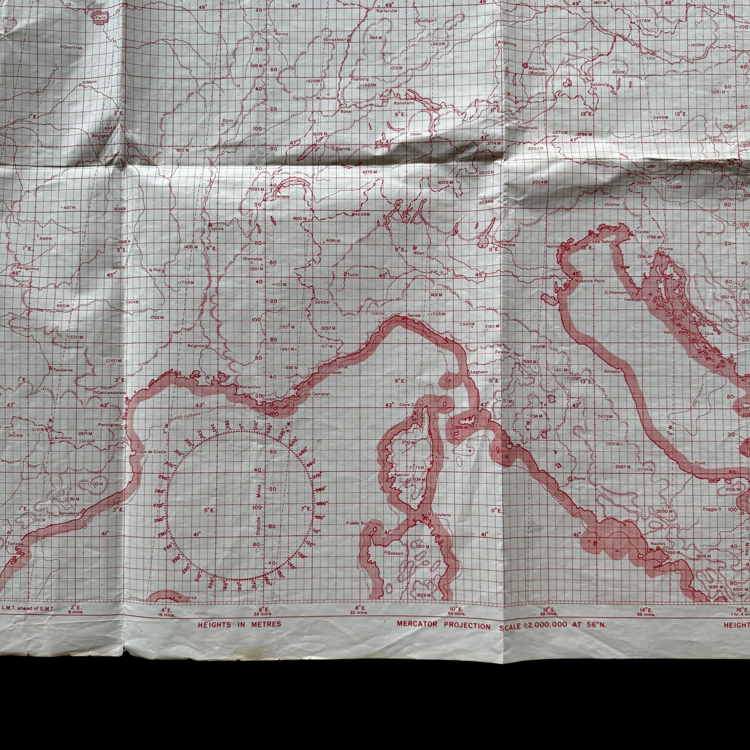
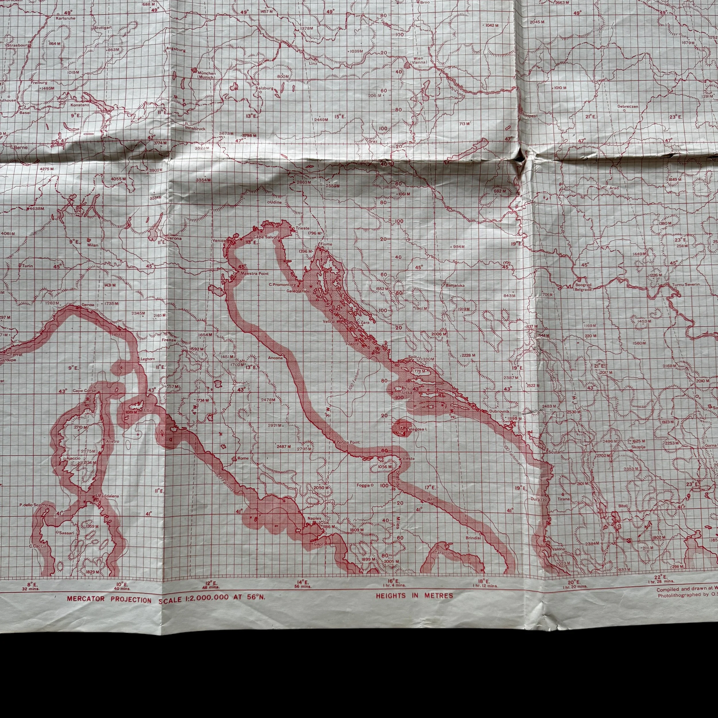
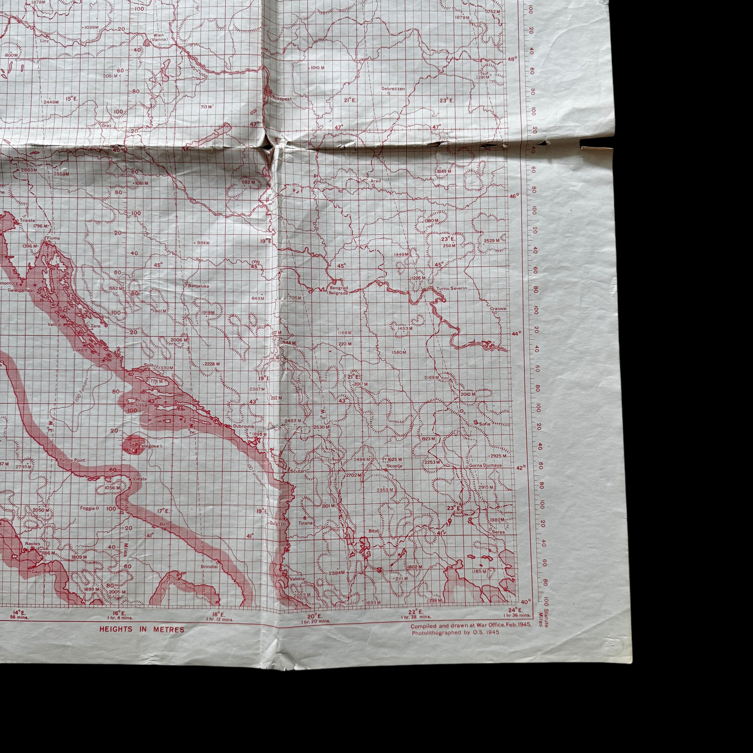
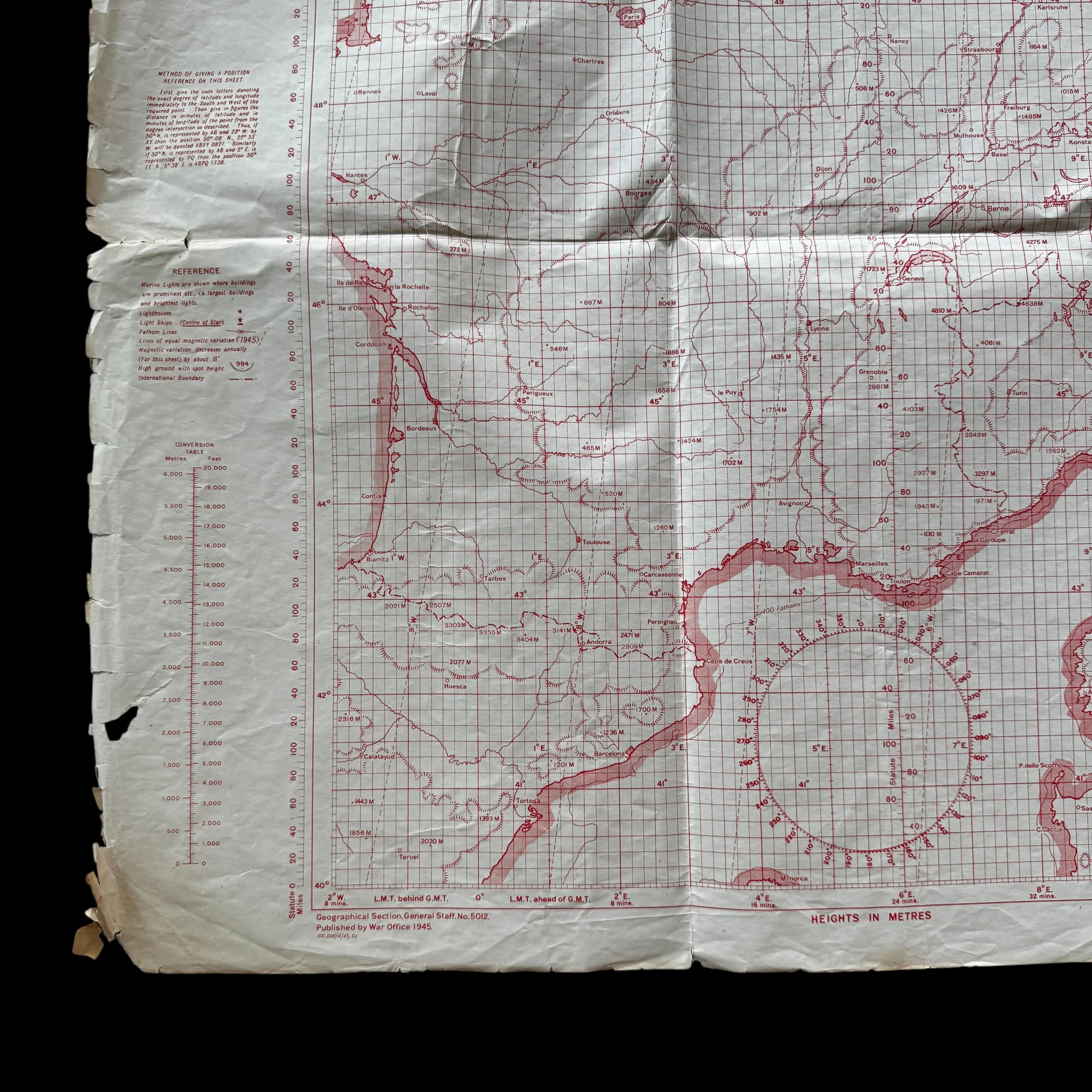
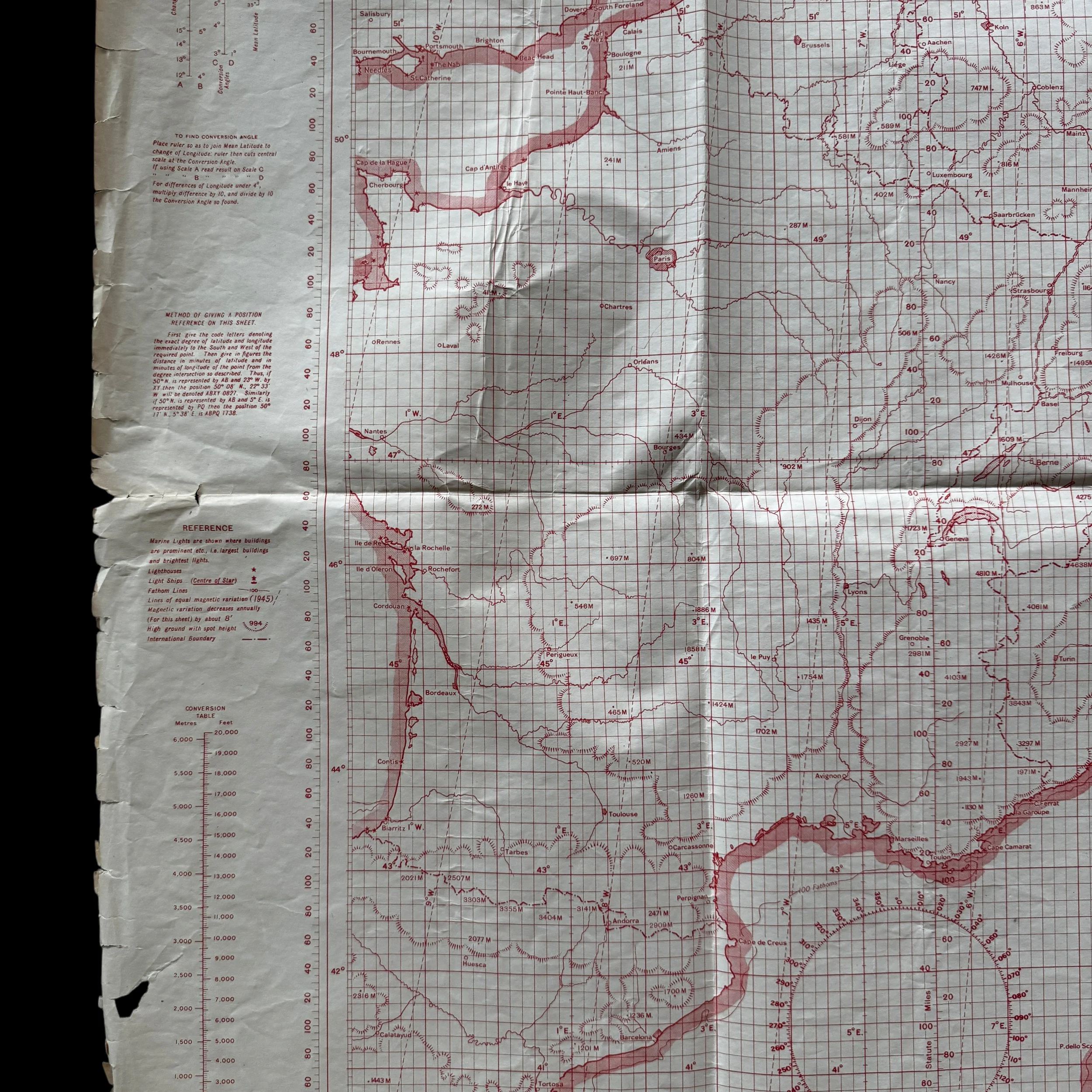
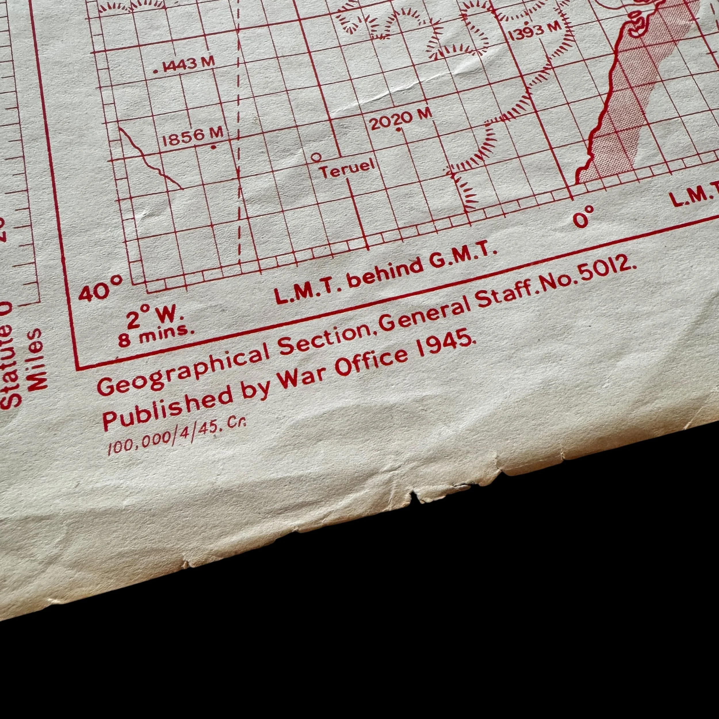
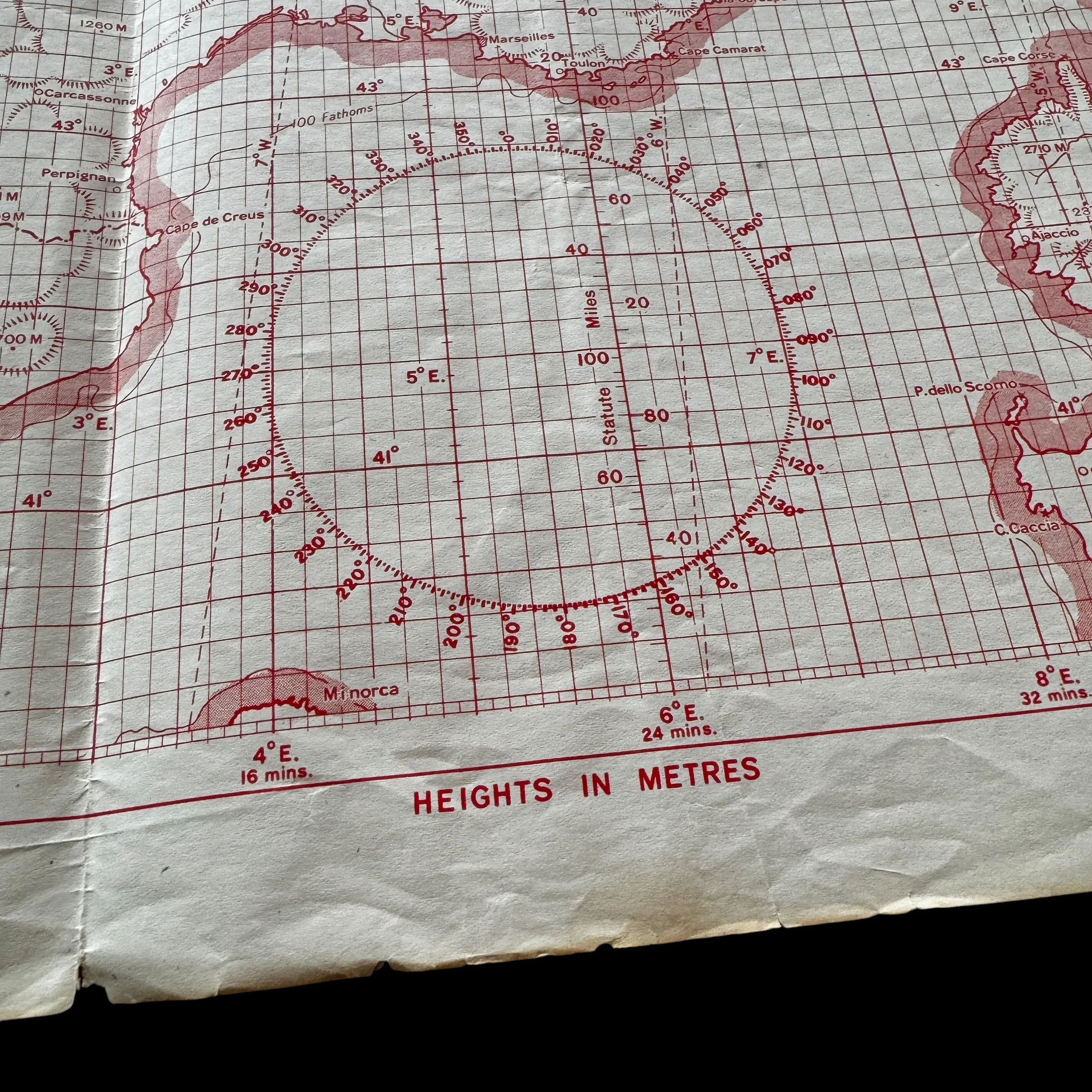
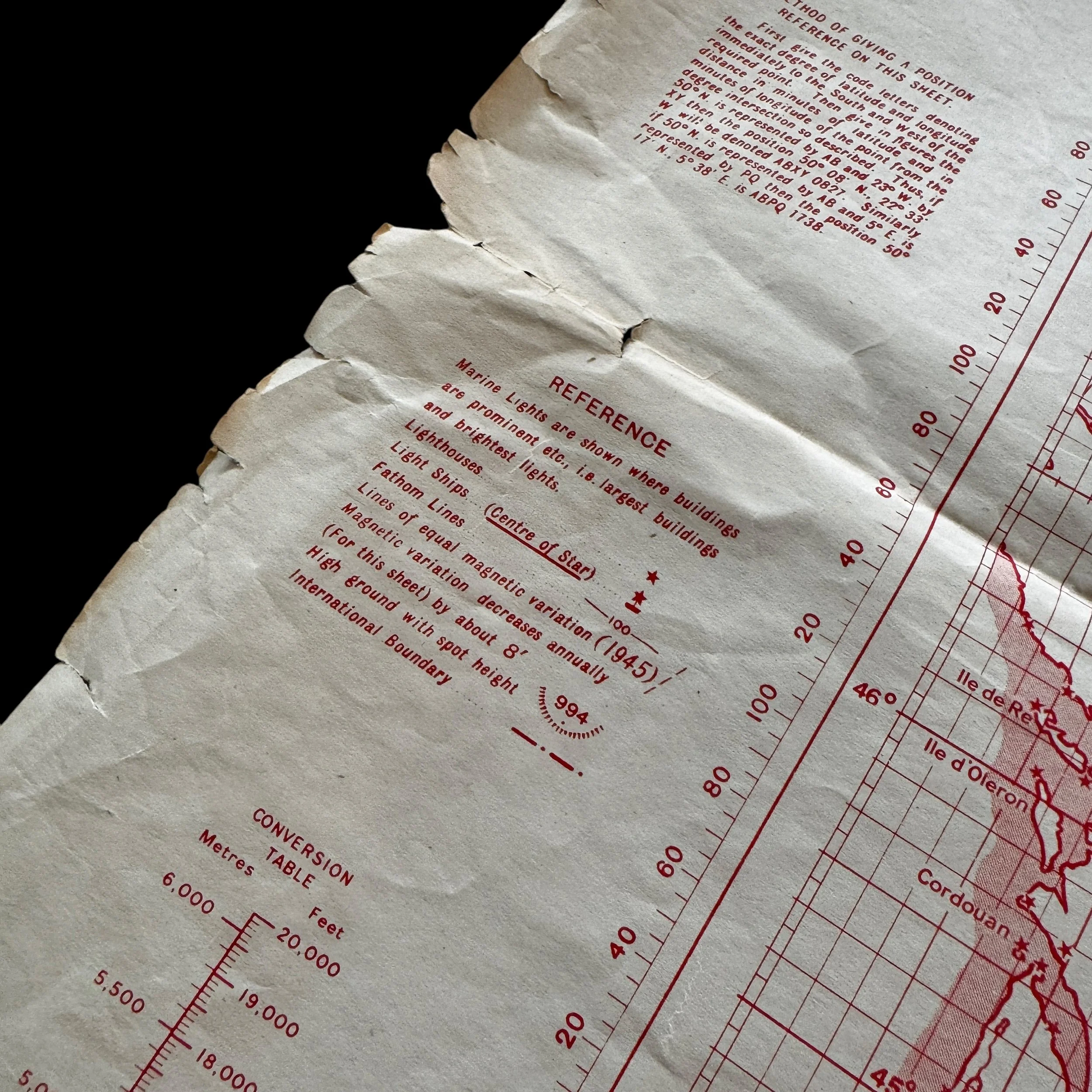
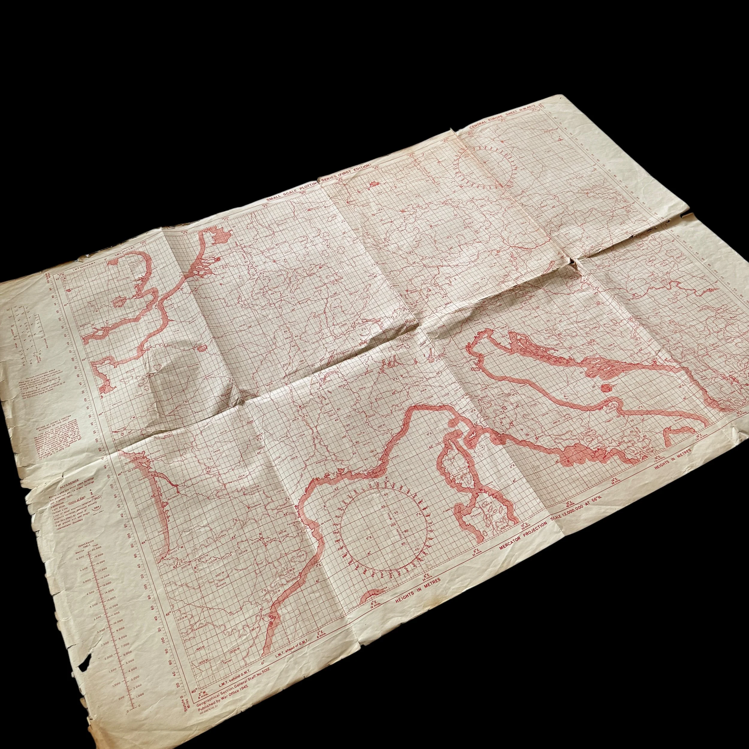


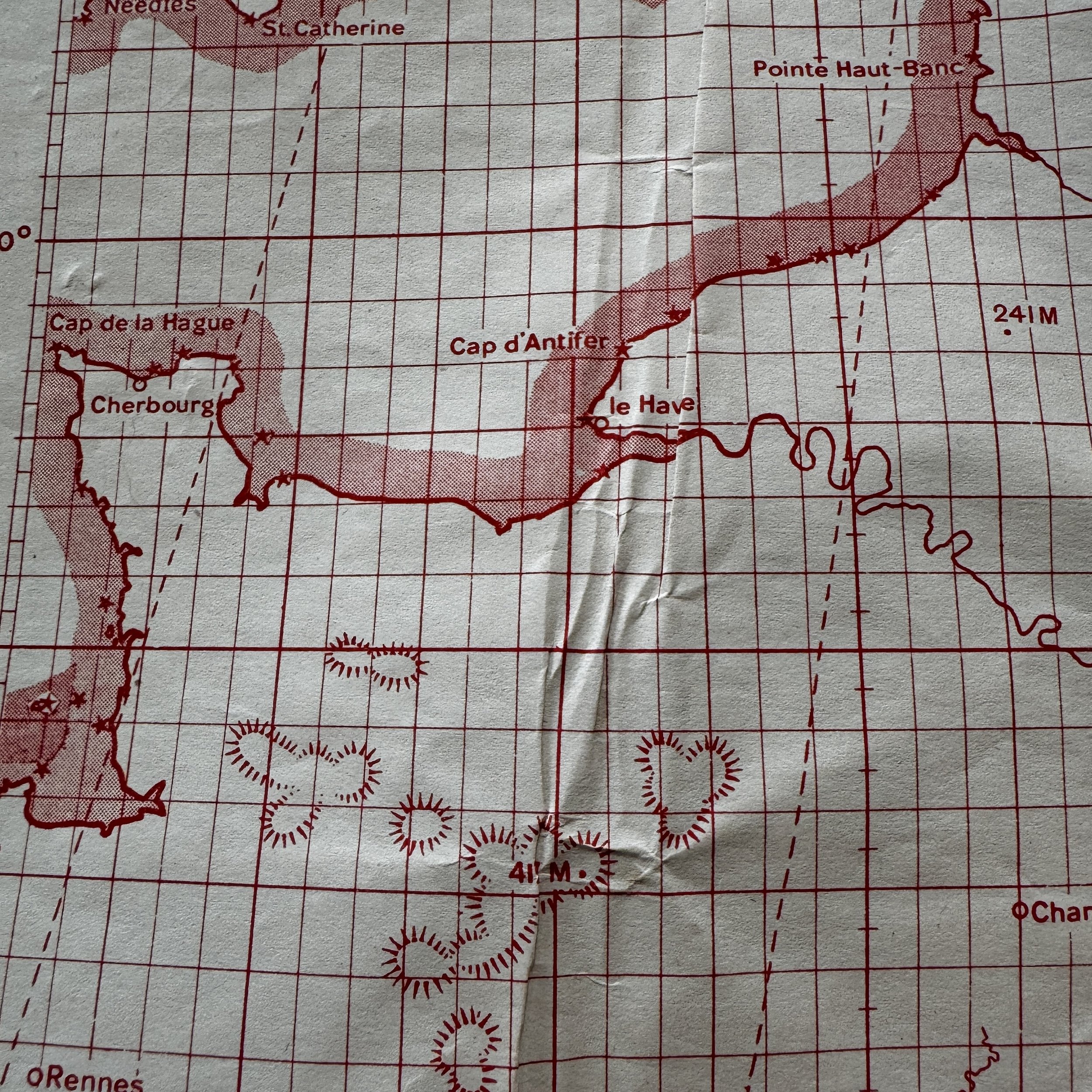


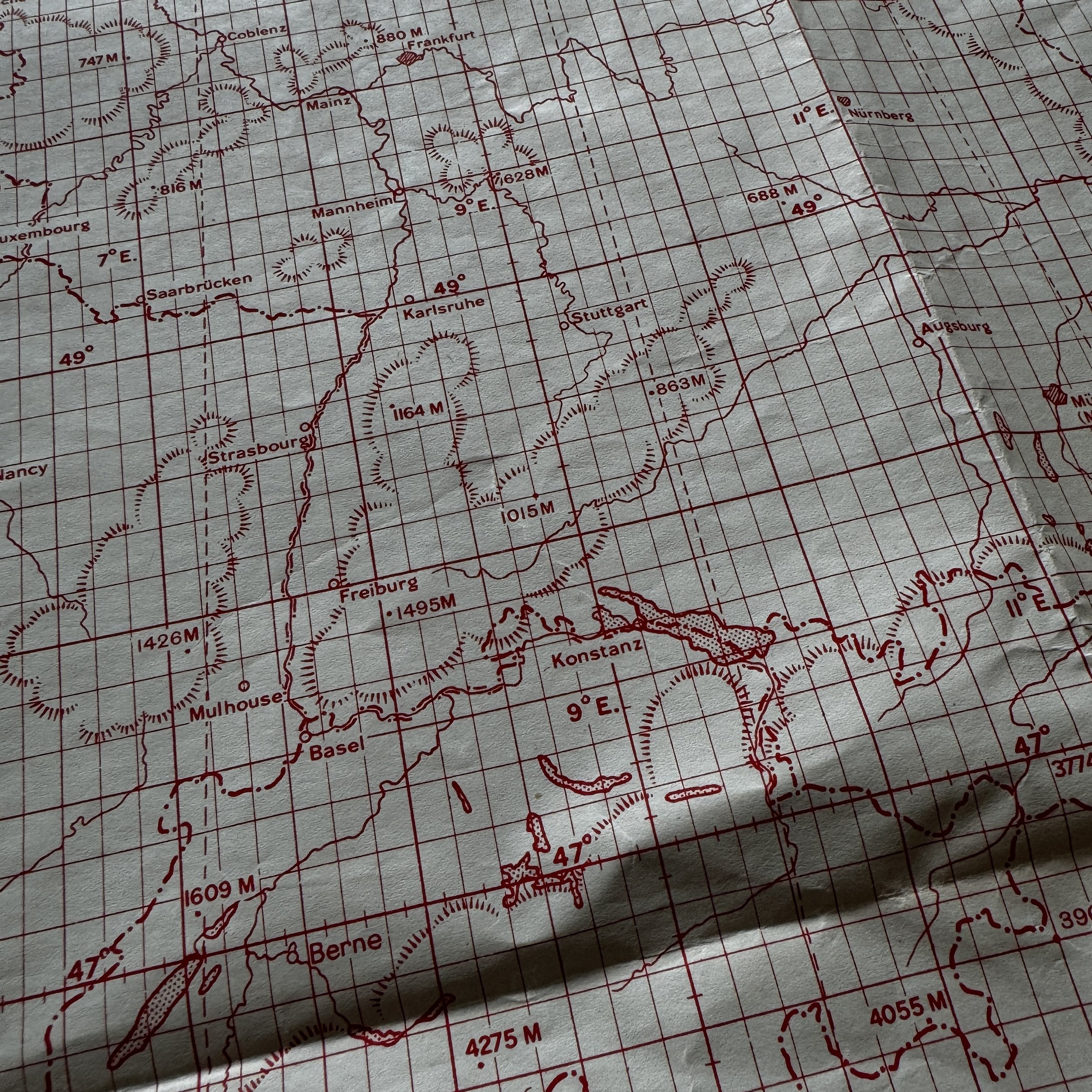
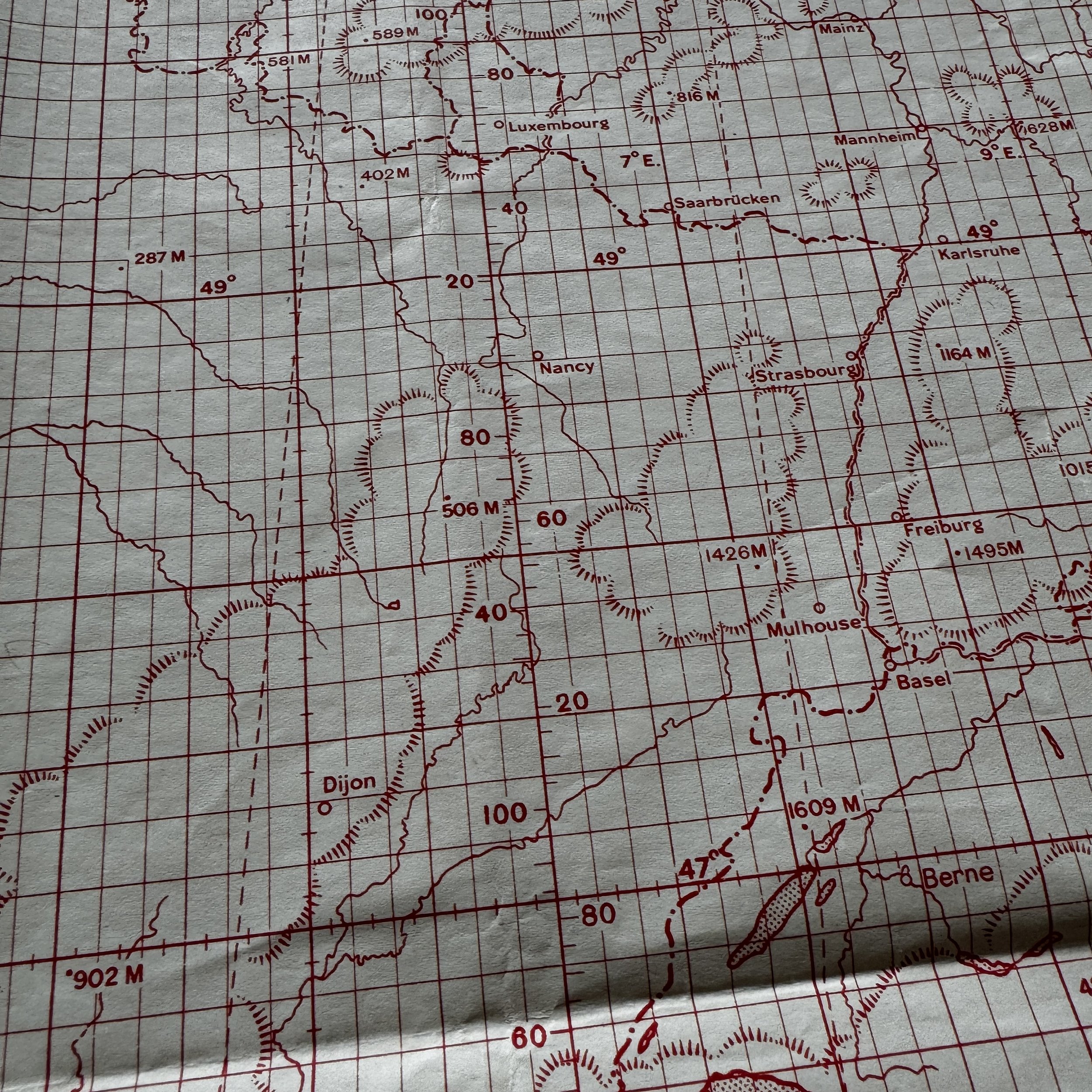


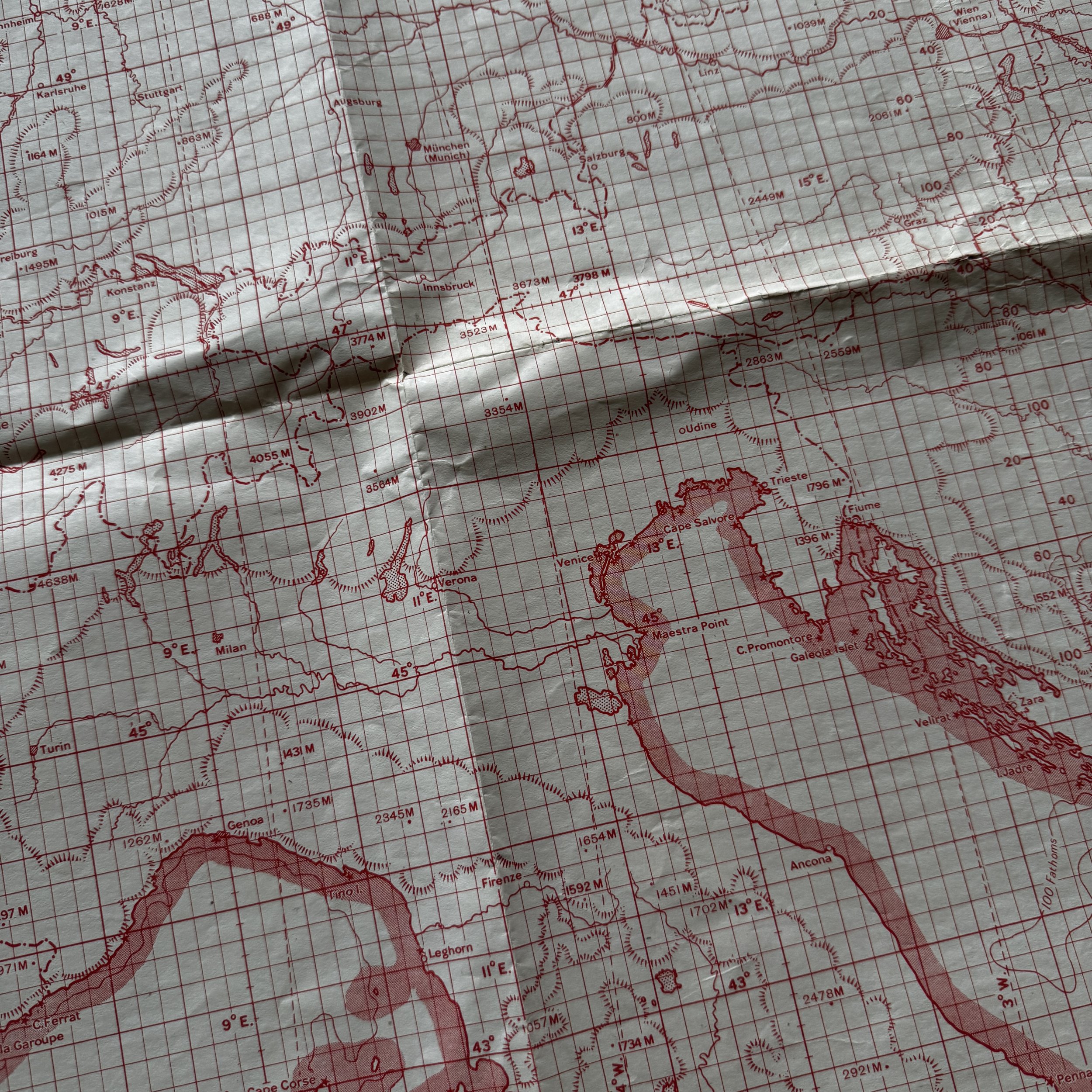

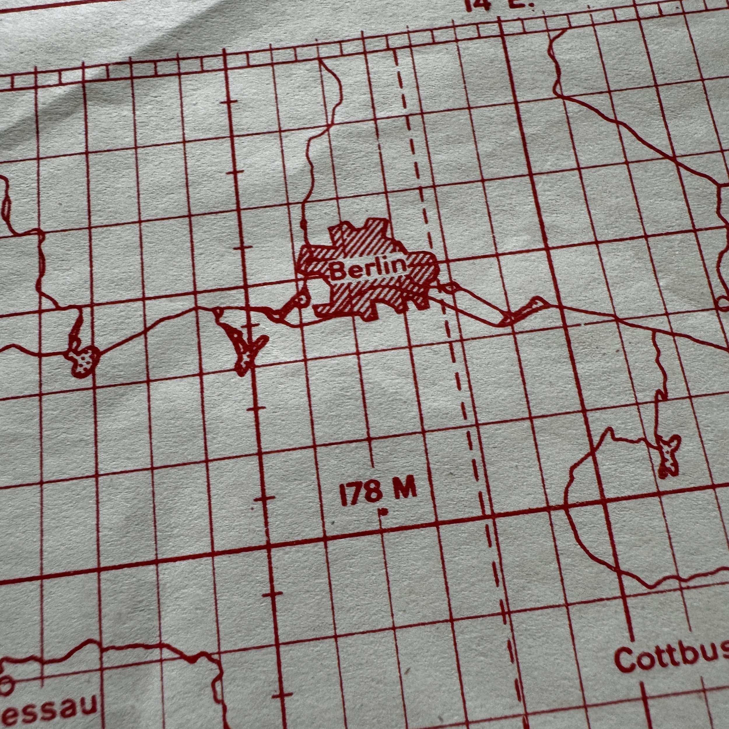

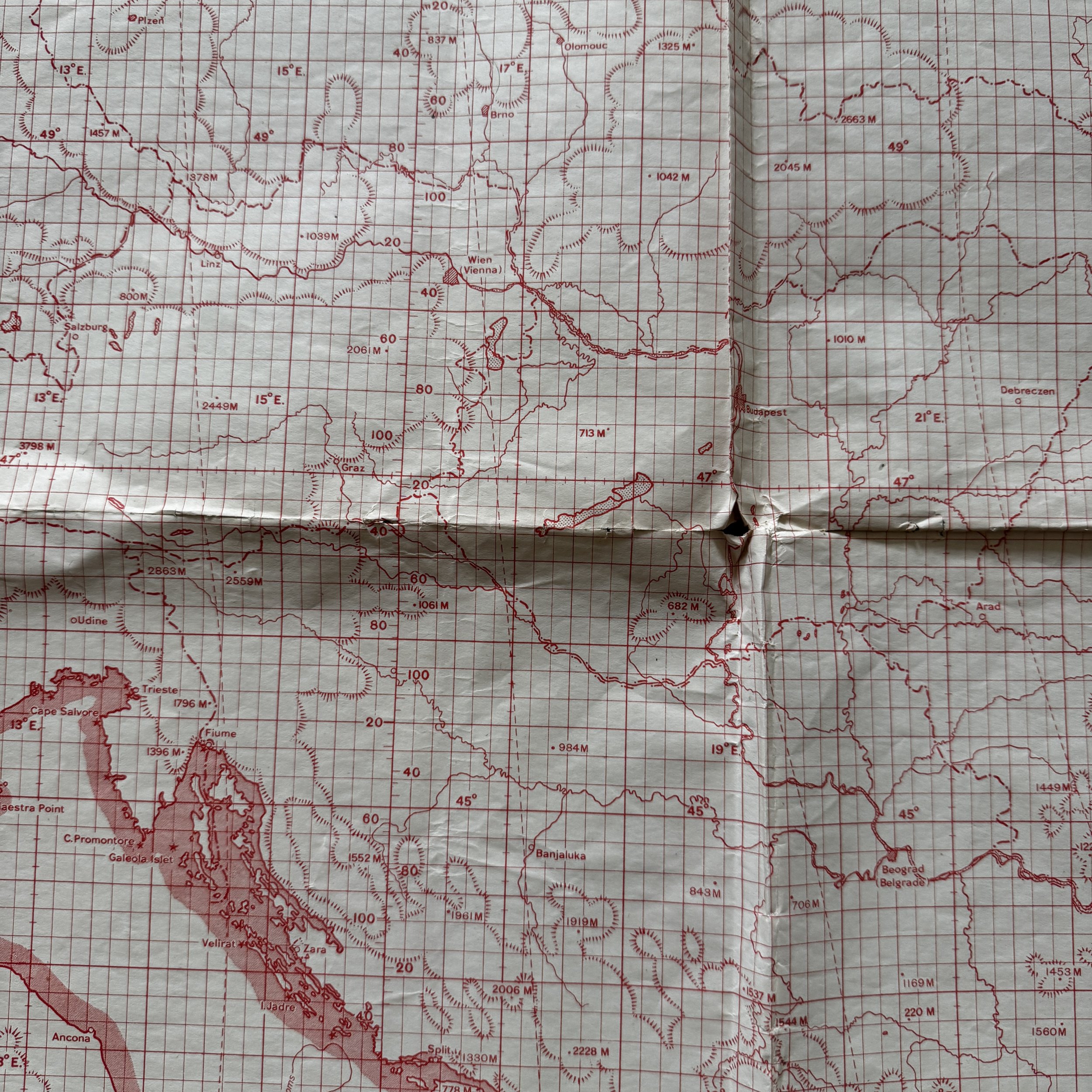

VERY RARE! WWII 1945 "1st Edition" European Theater of Operations U.S. Pilot & Navigator Plotting Series Bomber Aircraft Combat Flight Map
Comes with a hand-signed C.O.A.
Size: 26 × 39 inches
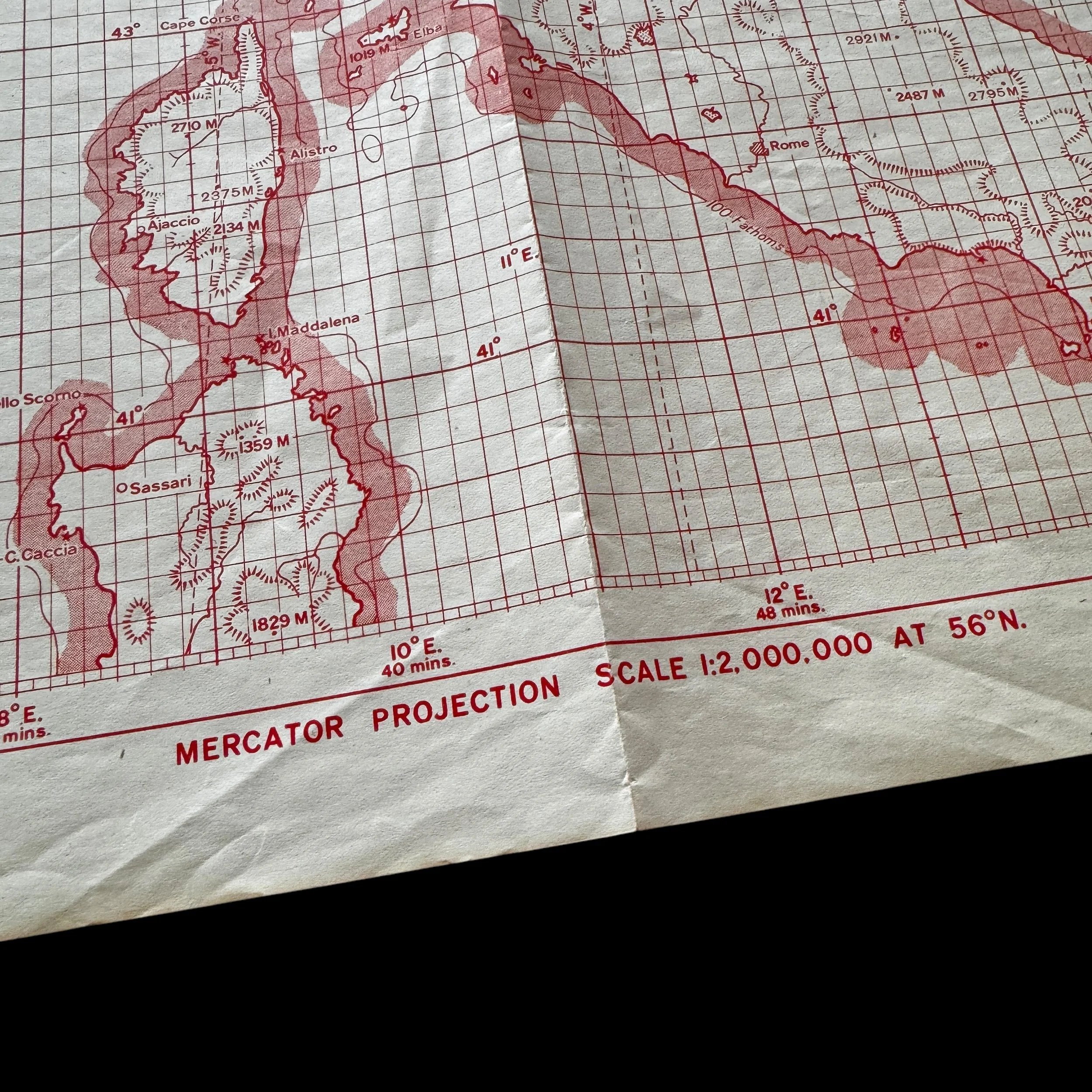
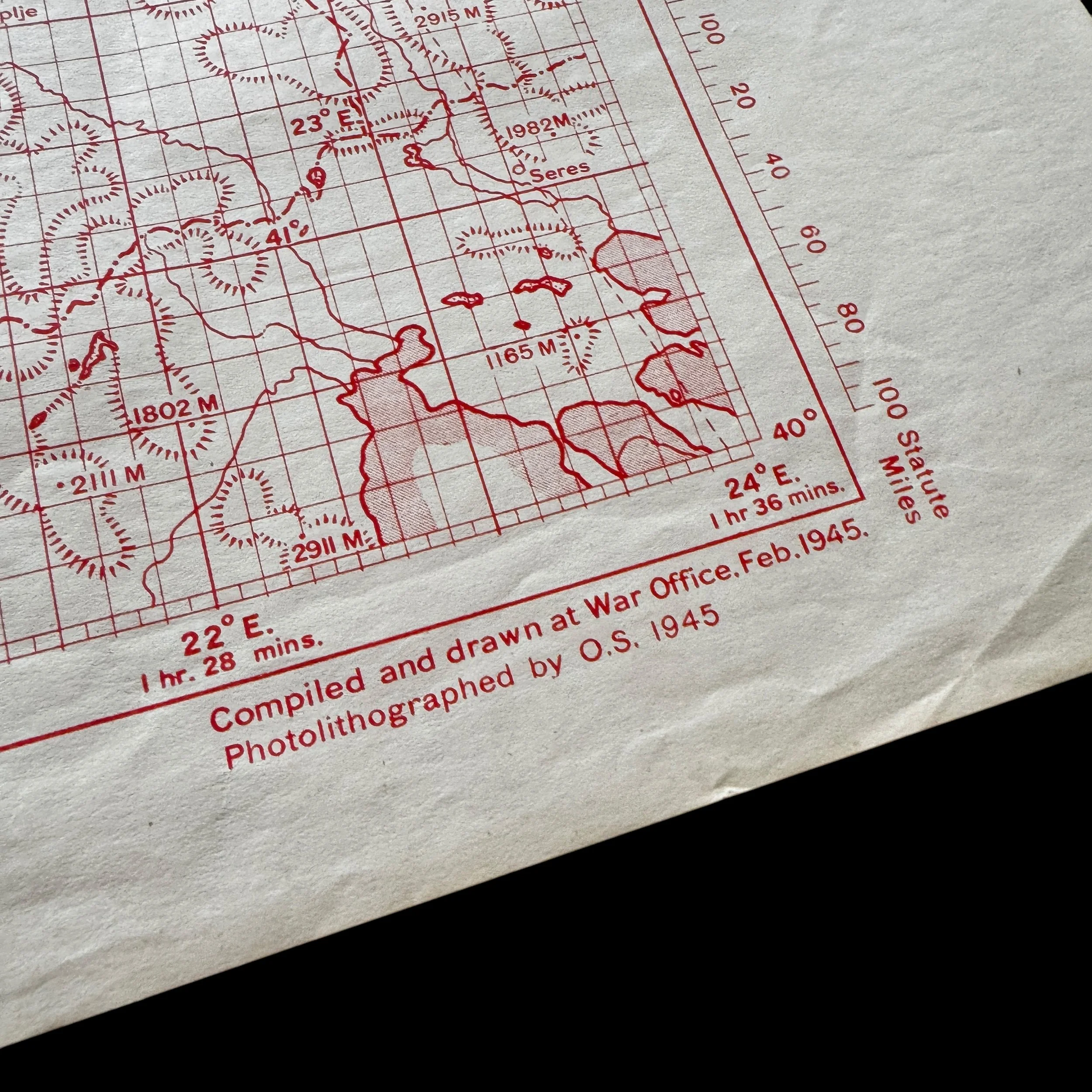
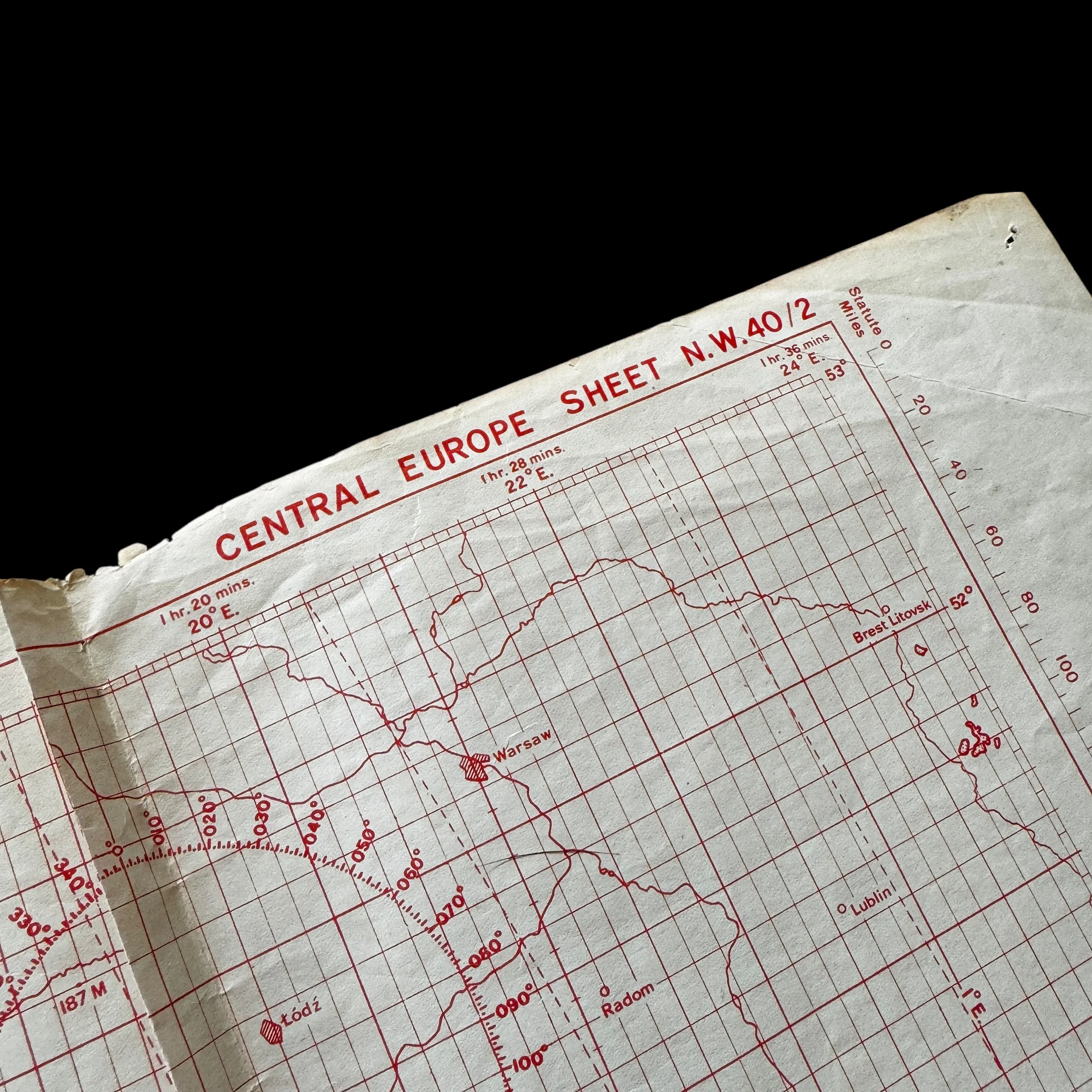
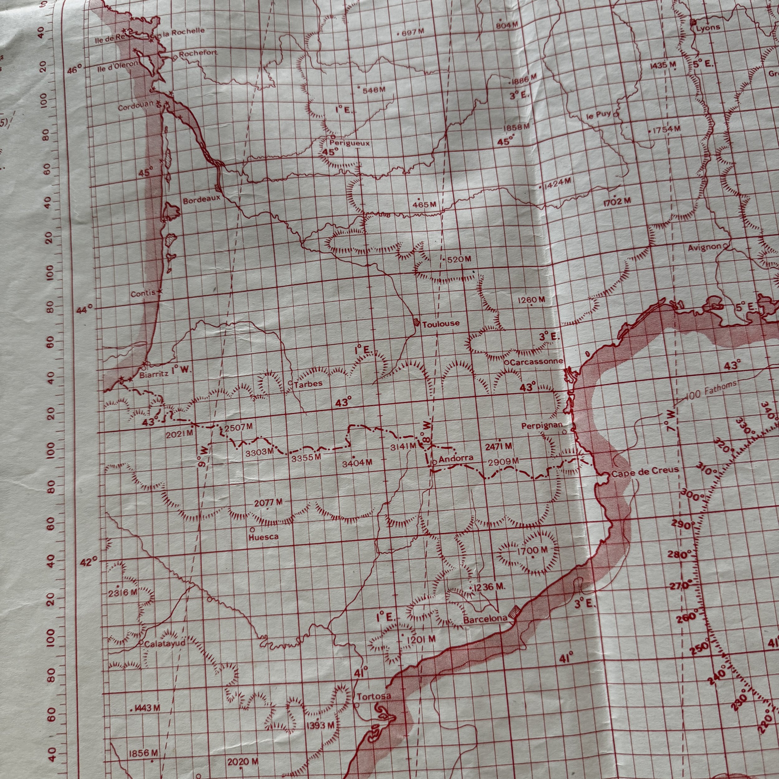
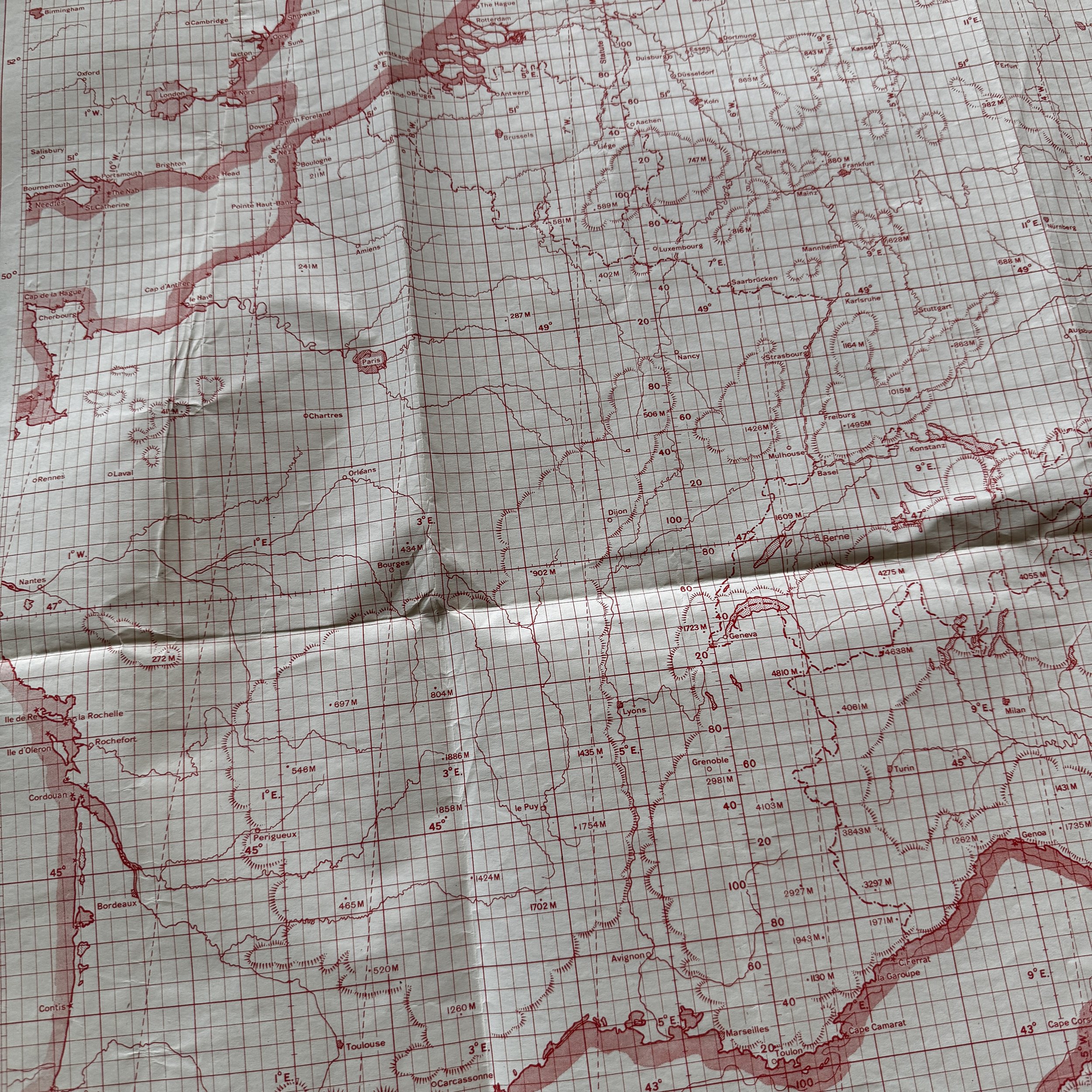
This extraordinary and museum-grade artifact is an original 1945-dated U.S. pilot and navigator "Plotting Series" aircraft combat flight map, specifically designed for the European Theater of Operations during World War II. These navigation combat maps were critical tools used by U.S. Army Air Forces navigators to chart the course of heavy bombers during high-stakes Allied aerial bombing missions across German-occupied Europe.
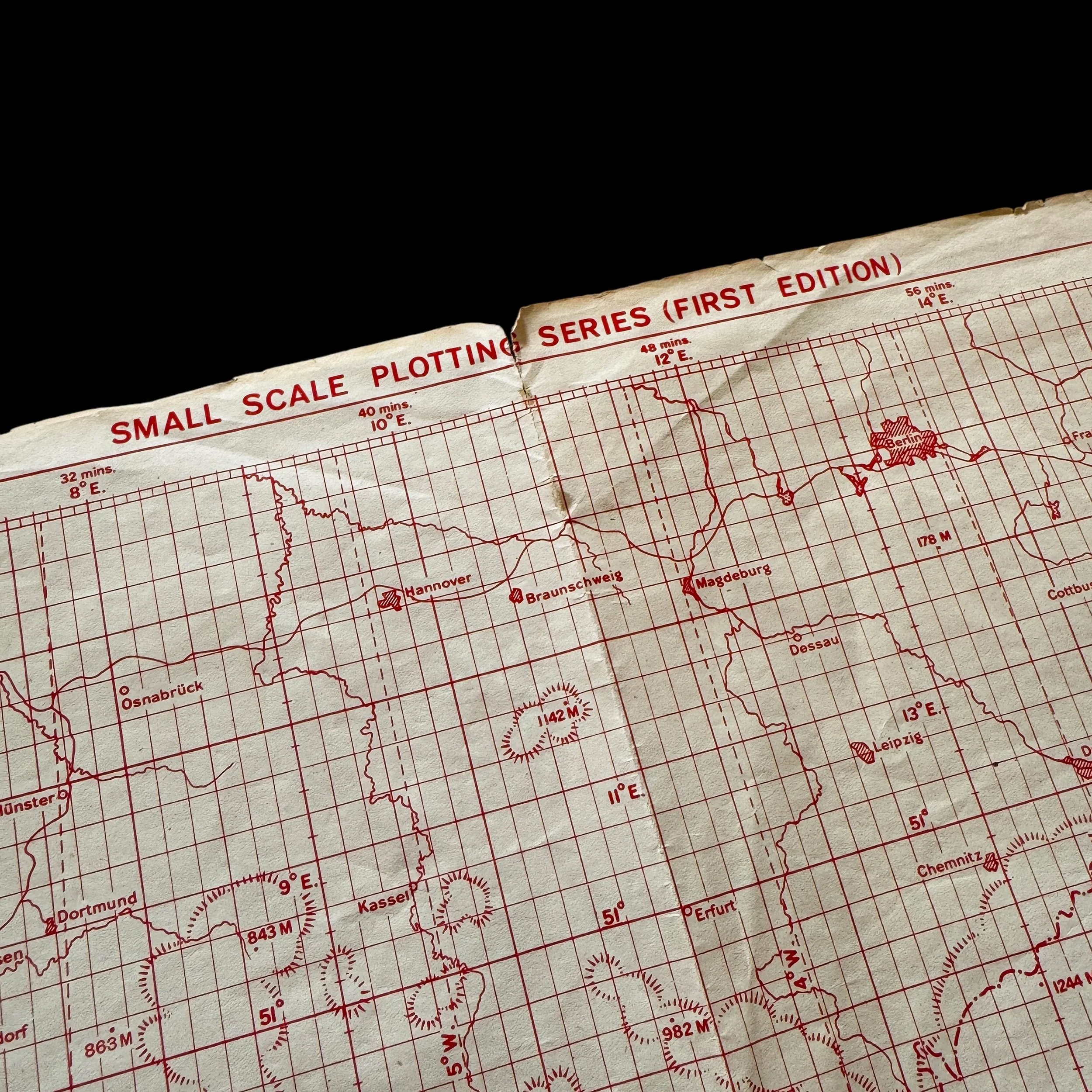
What sets this artifact apart is that it is an incredibly rare First Edition of the small Plotting Series maps, a specialized and limited-run production used exclusively by aircrews for mission planning and real-time navigation. This map offers a comprehensive, large-scale view of the entire European theater, encompassing England, Normandy, France (Paris), the Holland/Netherlands, Germany (Berlin), and Italy—key regions involved in the WWII Allied strategic bombing campaign against Axis targets.
Unlike standard-issue maps, this particular plotting series was one of the very few planning resources that provided a full-theater perspective, enabling aircrews to visualize and adjust their routes over vast distances. The limited nature of these maps suggests they were reserved for higher-level mission planning and bomber command operations, making surviving examples exceptionally scarce today.
Given its historical significance and extreme rarity, this artifact represents a tangible link to the air war over Europe in 1945, offering profound insight into the strategic planning behind the final months of the conflict. A true centerpiece for any serious World War II collection, this map embodies the precision, scale, and intensity of the Allied bombing campaign that helped bring about the defeat of Germany.
Guiding the Skies to Victory: The Use of Planning Series Maps by U.S. Navigators in the European Theater of Operations, 1945:
The use of Planning Series maps by U.S. Army Air Forces navigators during aerial bombing missions in the European Theater of Operations (ETO) in 1945 played a crucial role in the final months of World War II. These highly detailed and specialized maps were essential tools for aircrews as they coordinated bombing raids across occupied Europe and deep into the heart of Germany. By providing strategic overviews and tactical plotting capabilities, these maps allowed for precise navigation, route adjustments, and mission planning that were vital to the effectiveness of the Allied bombing campaign.
As the war entered its final phase in early 1945, the United States Army Air Forces (USAAF), in conjunction with the Royal Air Force (RAF), intensified their aerial operations to cripple the German war machine and hasten the end of hostilities. The primary focus was on destroying key industrial centers, transportation networks, military installations, and enemy strongholds in cities across Germany. The Eighth Air Force, stationed in England, and the Fifteenth Air Force, operating out of Italy, carried out thousands of sorties targeting strategic locations. These missions required meticulous planning, and the use of specialized Plotting Series maps was a fundamental aspect of navigation.
The First Edition Small Plotting Series Maps were among the most detailed and strategically valuable resources available to aircrews. These maps provided a complete aerial view of the European theater, encompassing England, Normandy, Paris, the Netherlands, Germany, Berlin, and Italy. Unlike standard operational charts, these limited-production maps offered a broad yet precise scale that allowed navigators to chart the entire scope of a bombing route in a single, comprehensive visual aid. This was particularly useful during the long-range daylight bombing missions that became the hallmark of U.S. strategic bombing doctrine.
One of the key areas covered by these maps was England, which served as the principal launching point for heavy bomber formations such as the B-17 Flying Fortress and B-24 Liberator. From bases in East Anglia and other locations, aircrews would gather in massive formations before embarking on perilous missions across the English Channel. The navigators relied on plotting series maps to establish initial headings, account for wind drift, and ensure accurate course adjustments as they flew into enemy airspace.
Once crossing the Channel, many bombing missions flew over Normandy, which had been liberated by Allied forces following the D-Day landings in June 1944. By early 1945, Normandy had become a relatively secure region for Allied aircraft, and its airfields were sometimes used as emergency landing zones for damaged bombers returning from deep penetration raids. Paris, also covered in these maps, had been freed from German occupation in August 1944, and while not a primary bombing target by 1945, the city’s infrastructure and roads played a vital role in the supply and movement of Allied ground forces pushing eastward.
As bombers continued toward occupied territory, they often flew over the Netherlands, a heavily contested region where the Germans maintained significant anti-aircraft defenses, including deadly Flak batteries. The Netherlands was an essential navigational checkpoint for many bombing missions en route to targets in Germany. Navigators relied on plotting series maps to avoid heavily defended areas and adjust flight paths to account for enemy resistance. In some cases, bomber formations would alter their routes mid-mission to evade concentrations of enemy fighters, especially as they approached heavily fortified regions like the Ruhr Valley.
Germany, and in particular Berlin, was a primary focus of the 1945 bombing campaign. As the war neared its conclusion, Allied commanders sought to devastate the German capital’s industrial and military infrastructure to cripple the enemy’s ability to wage war. These missions were among the most dangerous, as Berlin was one of the most well-defended cities in Europe, bristling with anti-aircraft guns and surrounded by airfields that housed the last remnants of the Luftwaffe. Navigators had to meticulously chart their courses, often skirting along pre-determined corridors that maximized fuel efficiency while minimizing exposure to enemy defenses.
One of the most devastating and controversial bombing operations of 1945 was the bombing of Dresden in February. Dresden, a city previously untouched by major air raids, was subjected to an immense firestorm created by successive waves of Allied bombers. The attack, carried out by both the USAAF and the RAF Bomber Command, aimed to disrupt German supply lines and break civilian morale. The use of plotting series maps was critical in executing these raids with precision, as Dresden’s location required extensive pre-flight calculations to ensure successful target identification in what was expected to be heavily obscured conditions due to smoke and enemy countermeasures.
Beyond Germany, the Fifteenth Air Force in Italy played a significant role in bombing Axis positions in Southern Europe. Operating from bases in Foggia and Amendola, B-17 and B-24 bombers targeted enemy oil refineries, transportation hubs, and manufacturing centers in Austria, Hungary, and the Balkans. Italy itself was no longer a primary bombing target by 1945, as the country had surrendered in 1943, but German forces remained entrenched in northern Italy, requiring continued air support for the advancing Allied ground troops. Navigators used plotting series maps to coordinate missions against German defensive positions in places like Bologna, the Po Valley, and the Brenner Pass, a crucial supply route linking Germany and Italy.
By March and April 1945, the Allied bombing campaign had reached a fever pitch. Missions became increasingly frequent, and German defenses, though still dangerous, had begun to weaken. The Luftwaffe, suffering from fuel shortages and pilot attrition, was unable to mount significant resistance against the ever-growing number of Allied bombers flooding German airspace. This period saw the destruction of vital industrial targets such as the ball-bearing factories in Schweinfurt, oil refineries in Pölitz, and rail yards in Munich, all meticulously mapped and identified using specialized aerial reconnaissance and plotting maps.
Despite the heavy losses sustained throughout the air war, the strategic bombing campaign played a decisive role in hastening the collapse of Germany. The destruction of transportation networks, manufacturing plants, and fuel depots severely hampered the Wehrmacht’s ability to move troops and supplies. Additionally, the psychological impact of constant aerial bombardment weakened German morale and contributed to the eventual surrender of German forces in May 1945.
The plotting series maps used by U.S. navigators in these missions were more than just navigational aids—they were indispensable tools that shaped the course of the war in the air. Their ability to provide a macro-level perspective of the entire European theater while allowing for pinpoint accuracy in tactical planning made them one of the most valuable resources available to aircrews. Today, these maps serve as historical artifacts that offer insight into the complexity, precision, and scale of the Allied bombing efforts during the final months of World War II. They stand as a testament to the skill and determination of the navigators who relied on them, ensuring that each mission contributed to the ultimate defeat of Germany.