VERY RARE! WWII 1944 SECRET British XXX Corps Medic's D-Day Operation Queen Siegfried Line Defense Overprint Combat Map

VERY RARE! WWII 1944 SECRET British XXX Corps Medic's D-Day Operation Queen Siegfried Line Defense Overprint Combat Map
Comes with C.O.A.
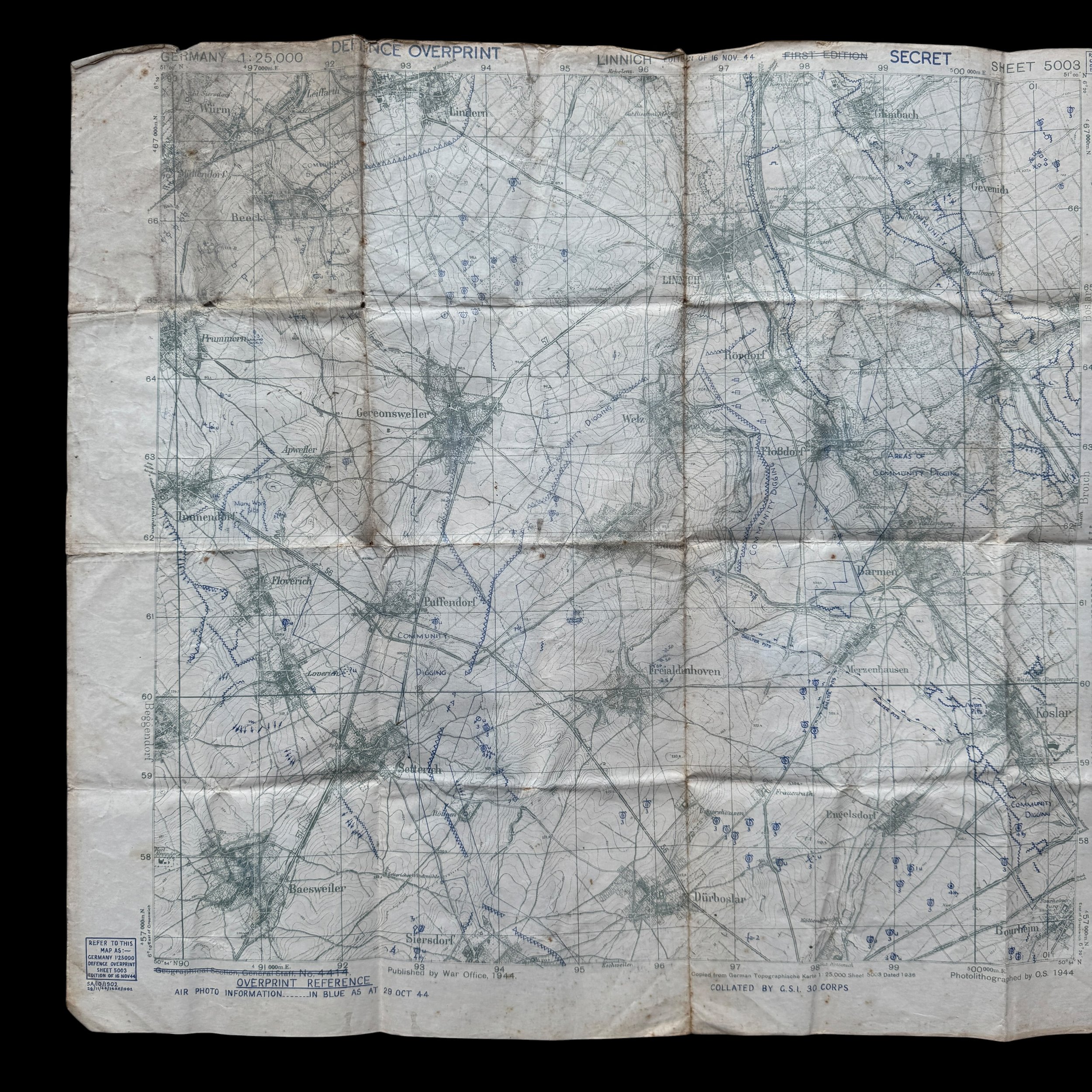
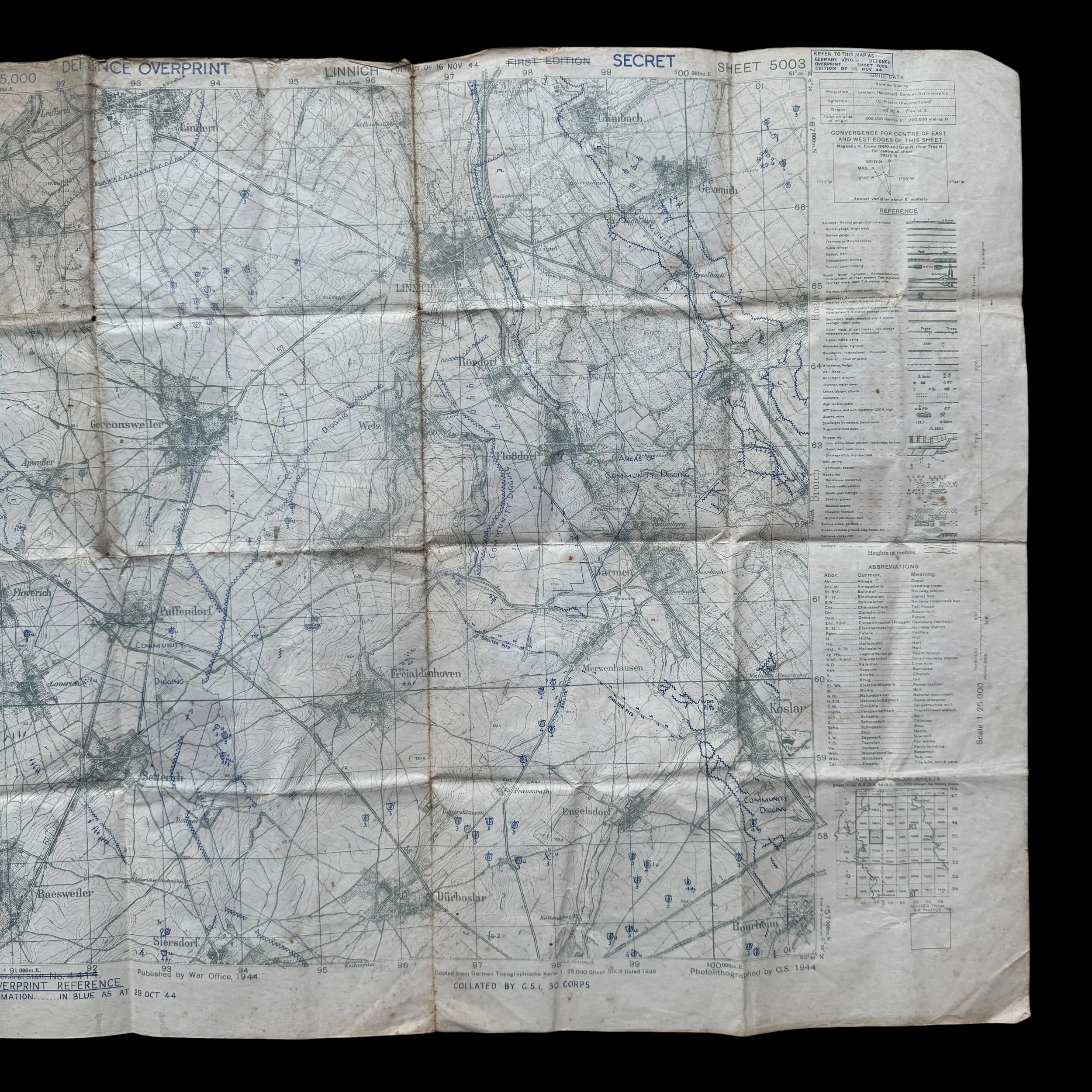
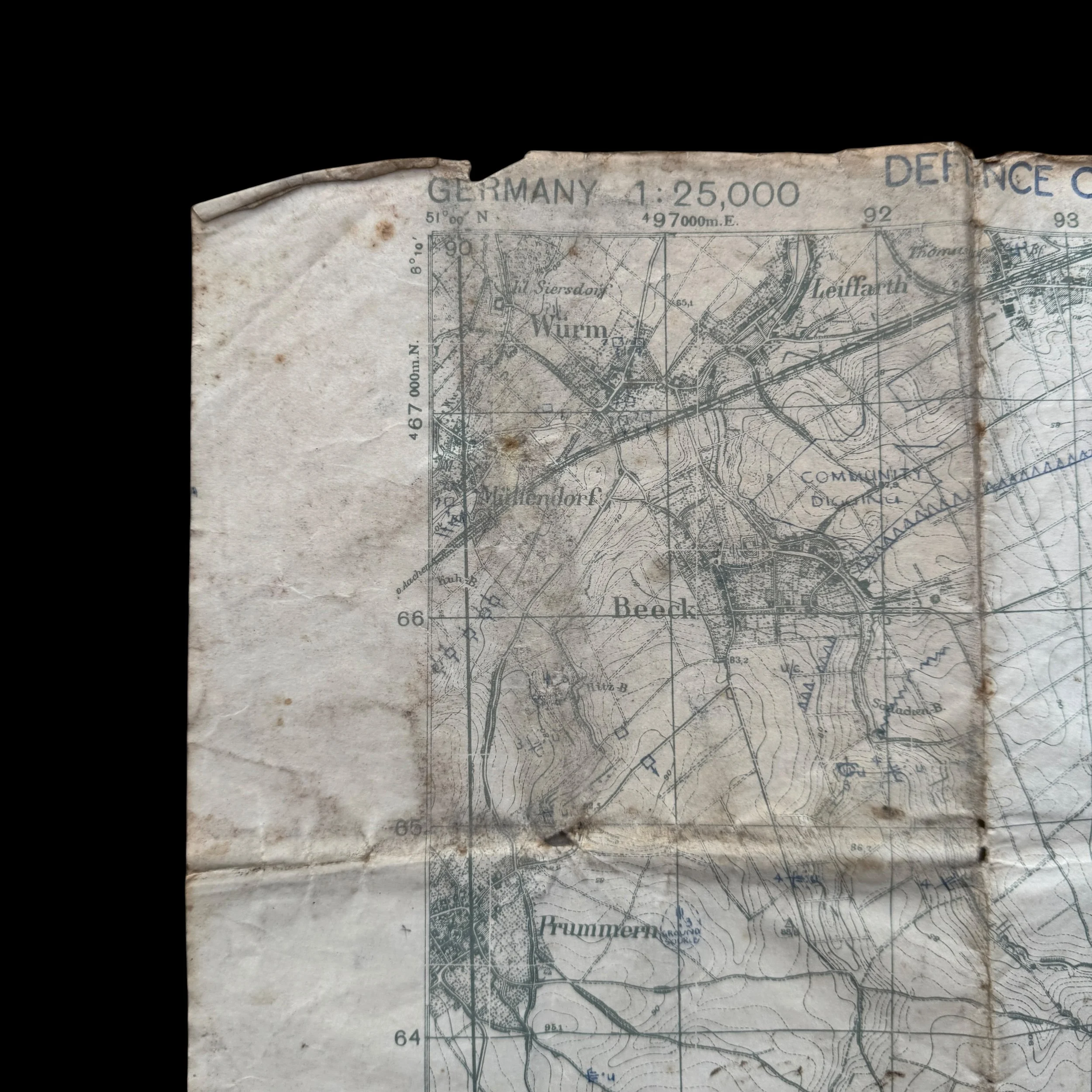
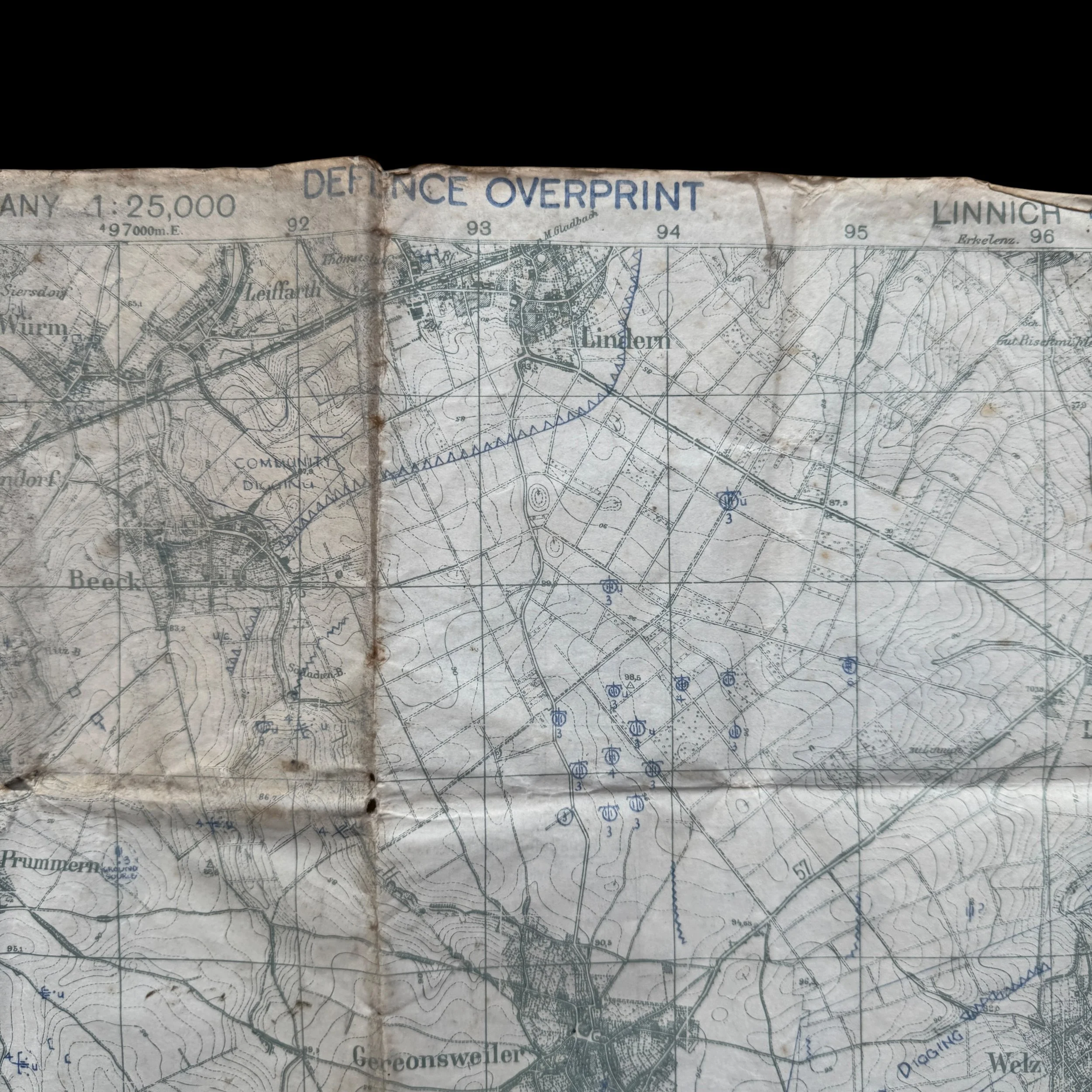
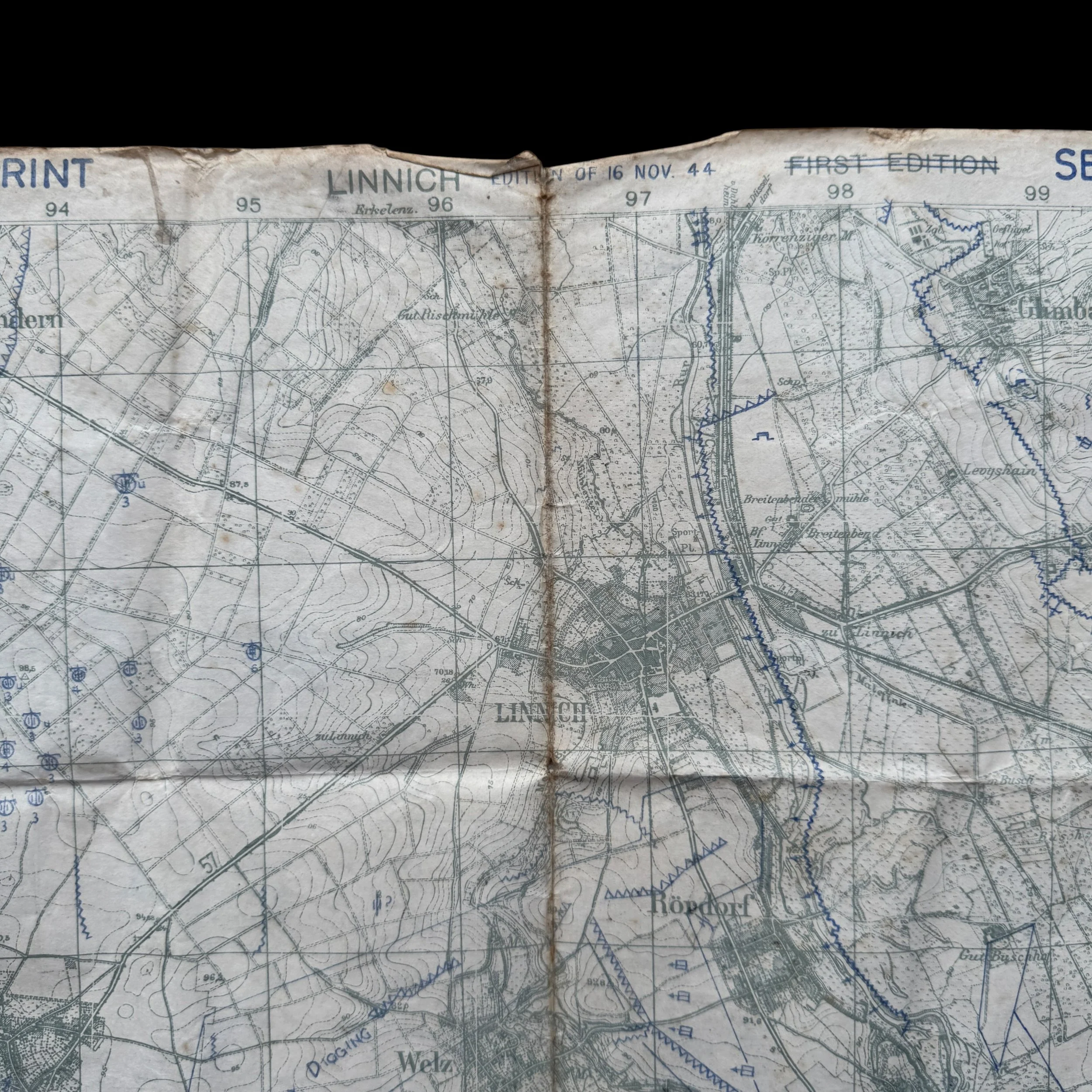
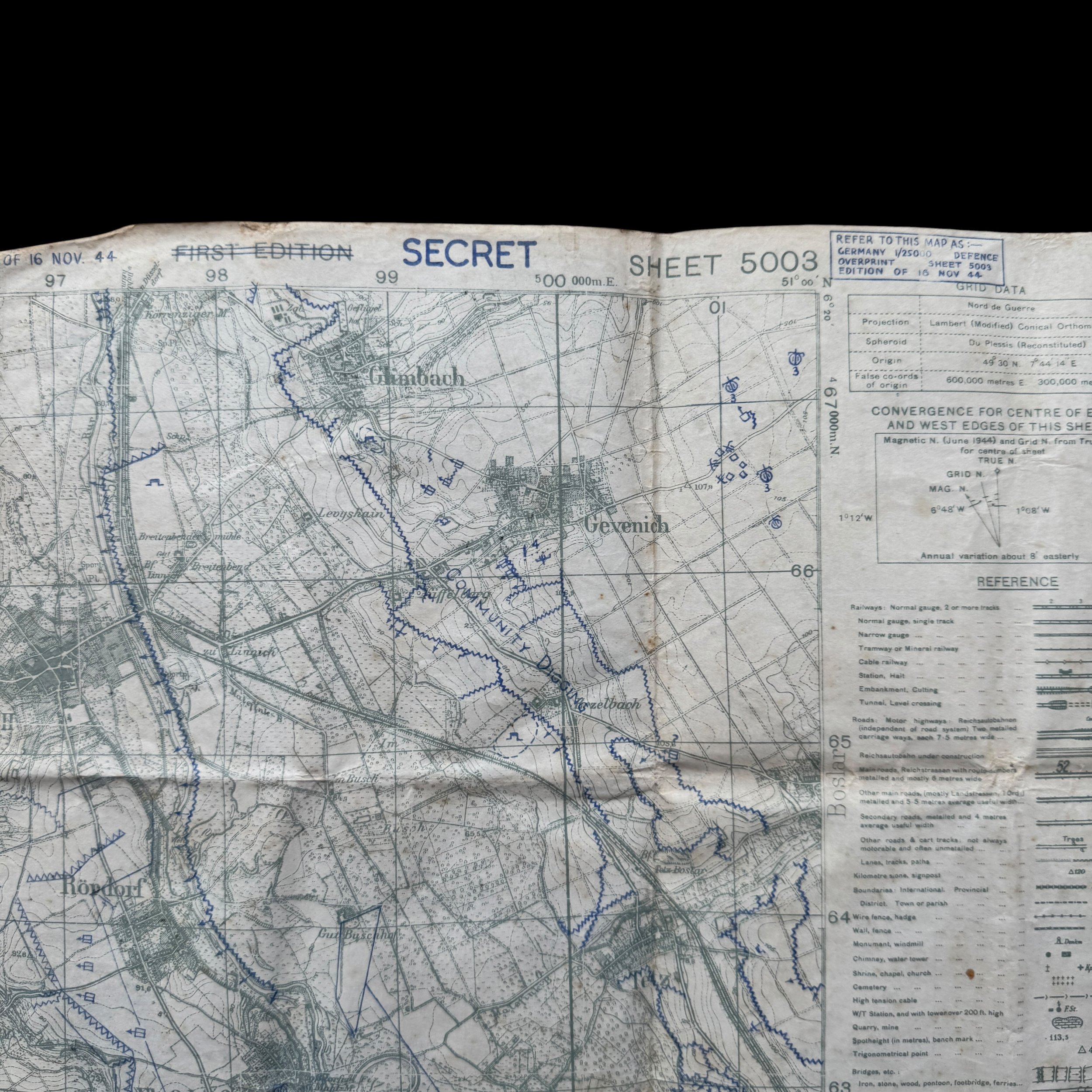
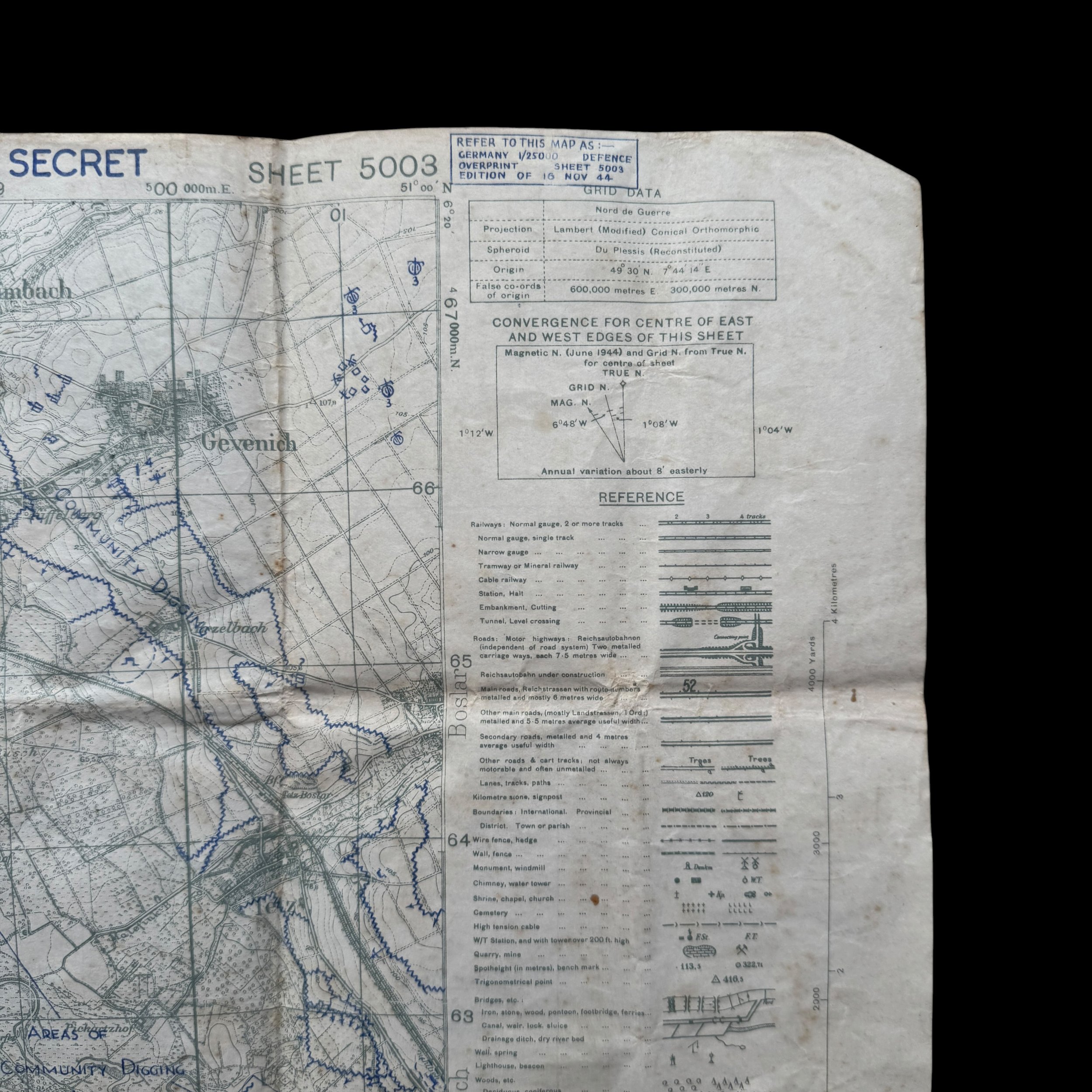
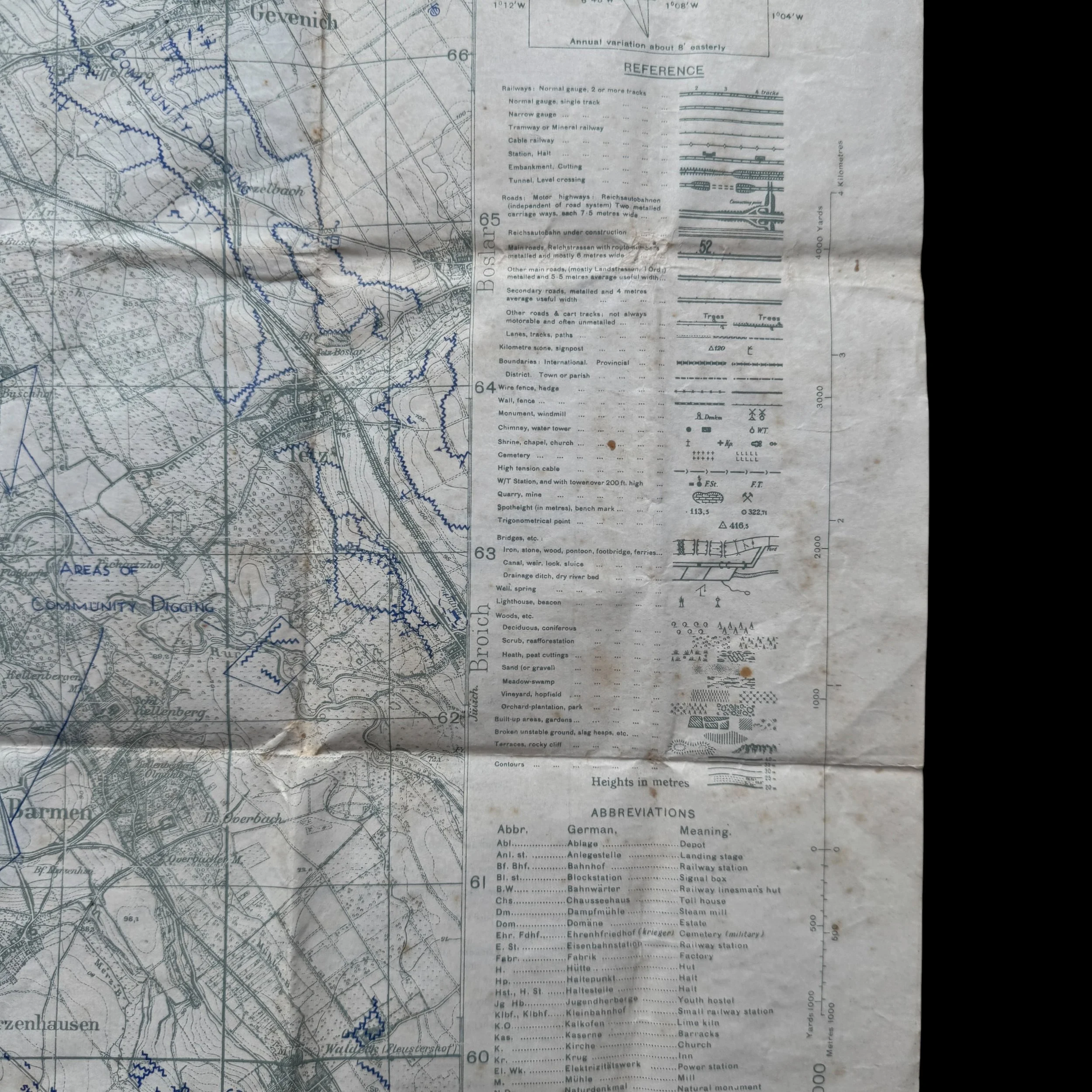
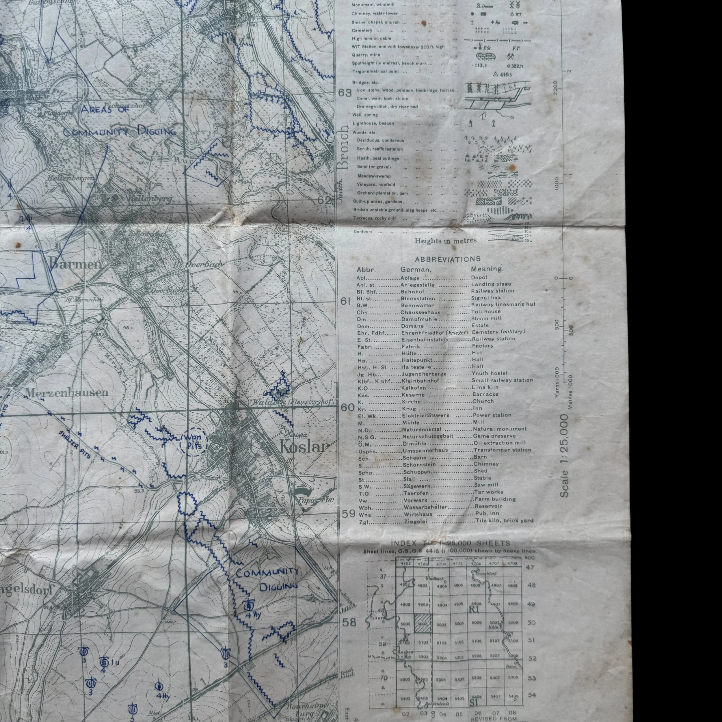
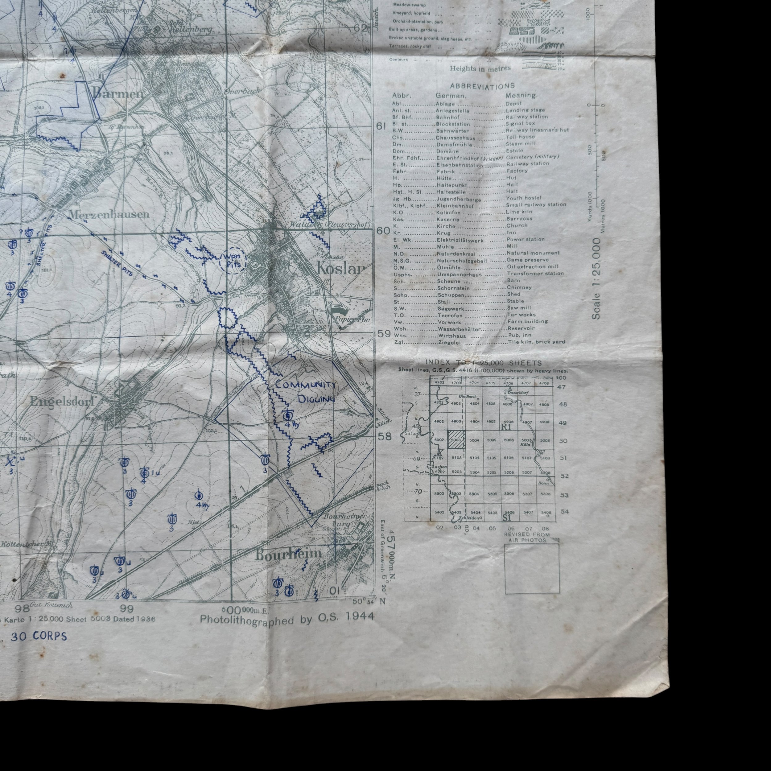
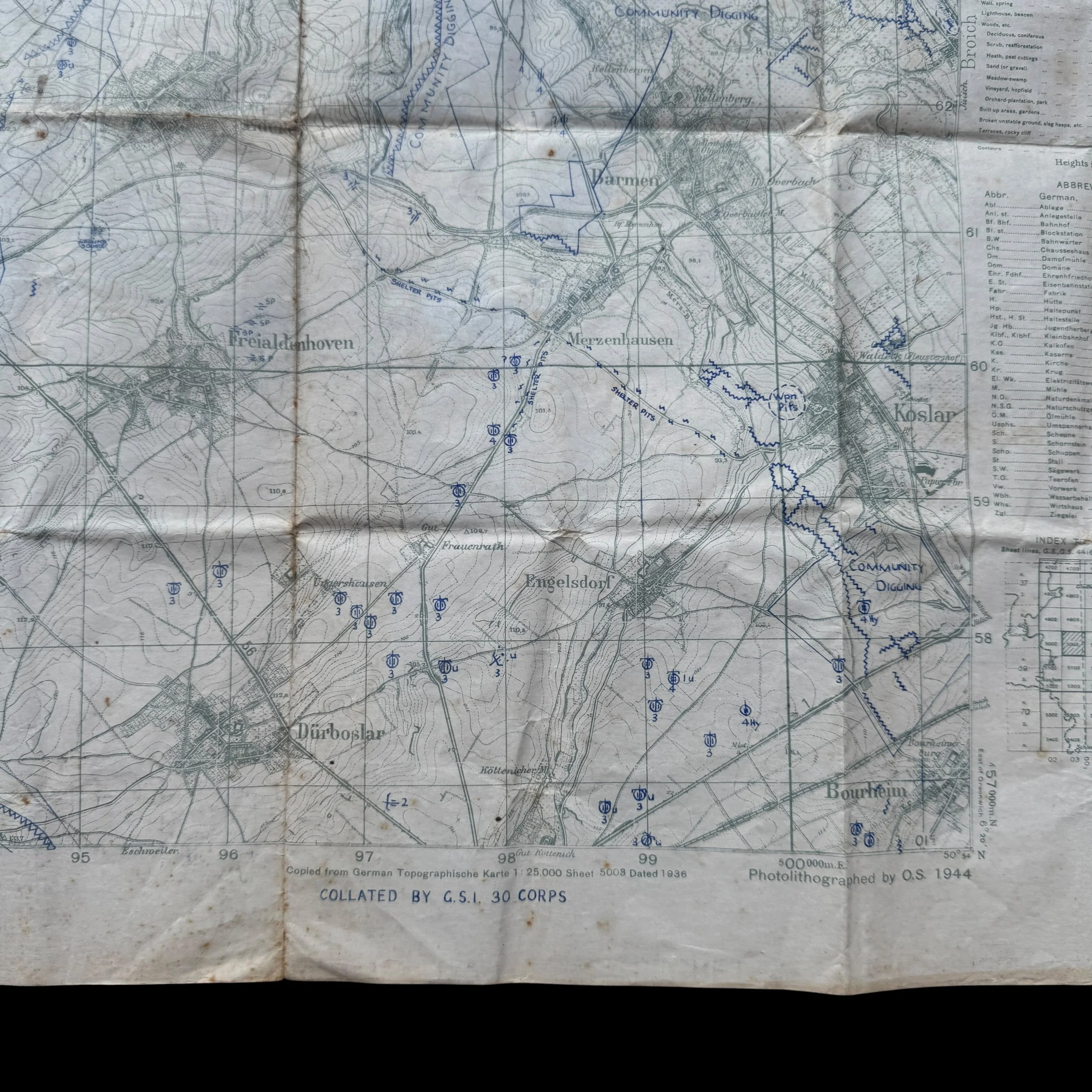
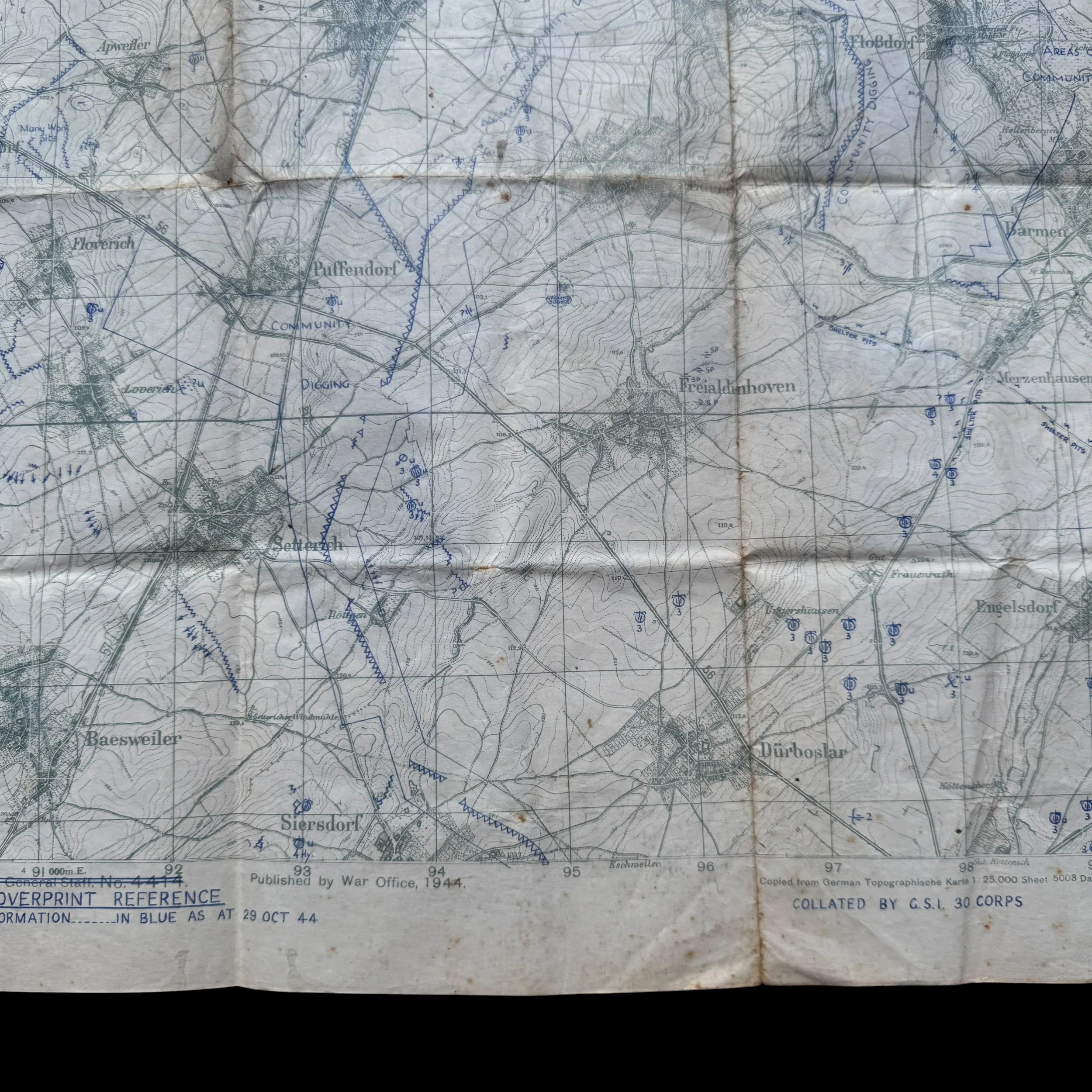
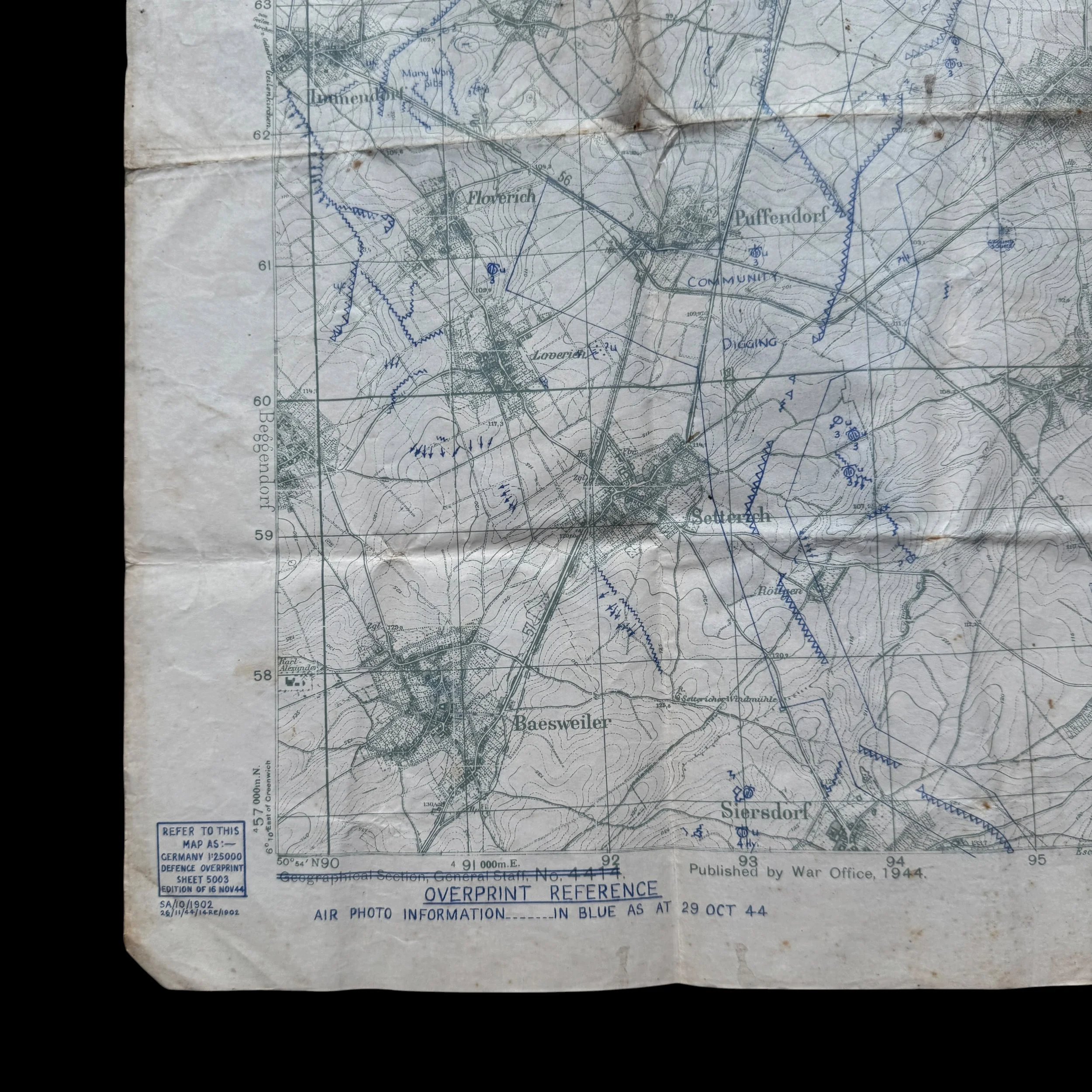
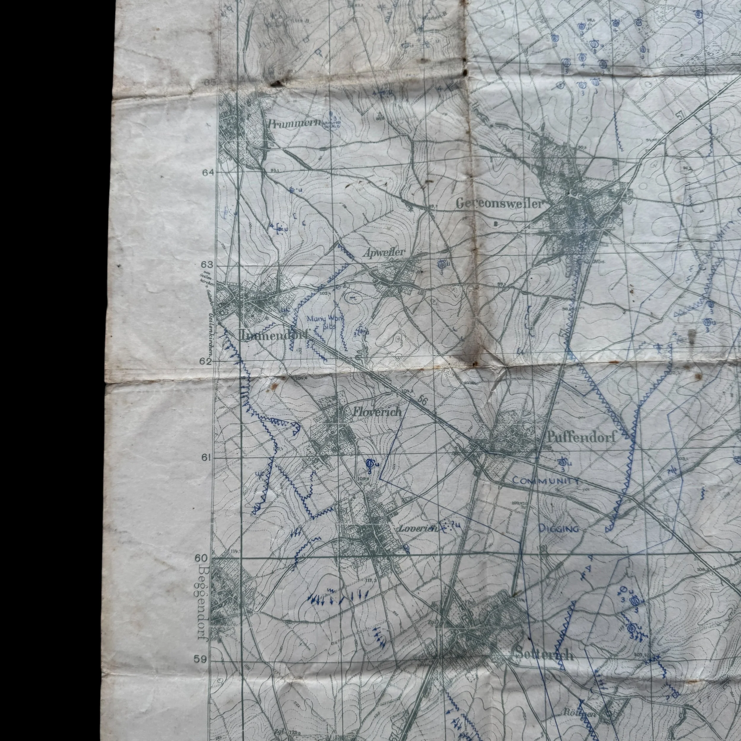
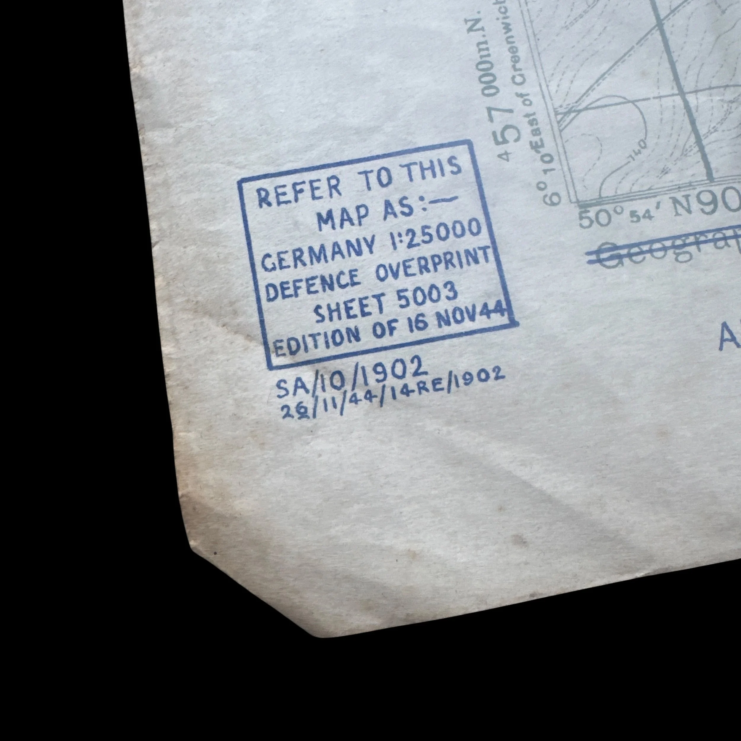
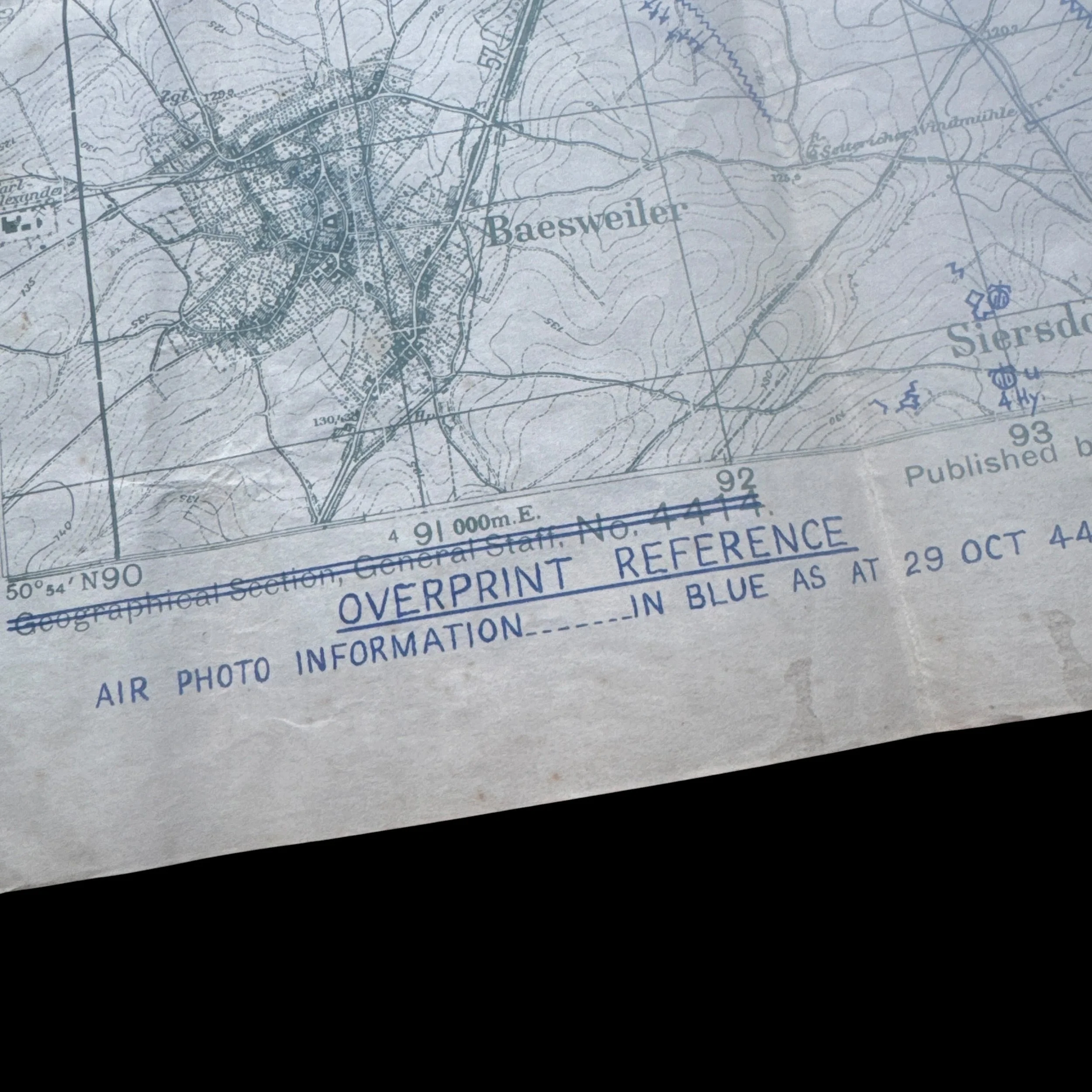
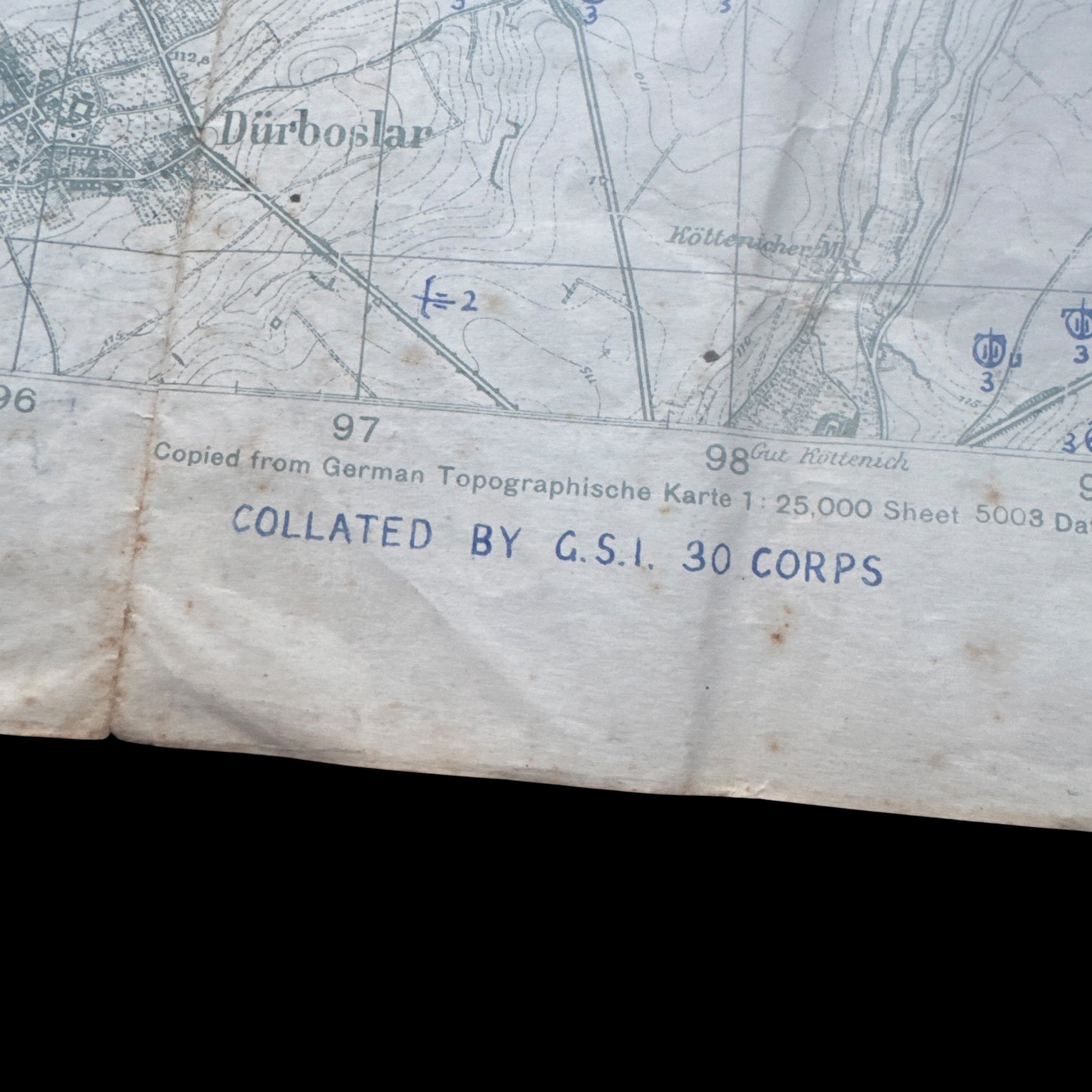
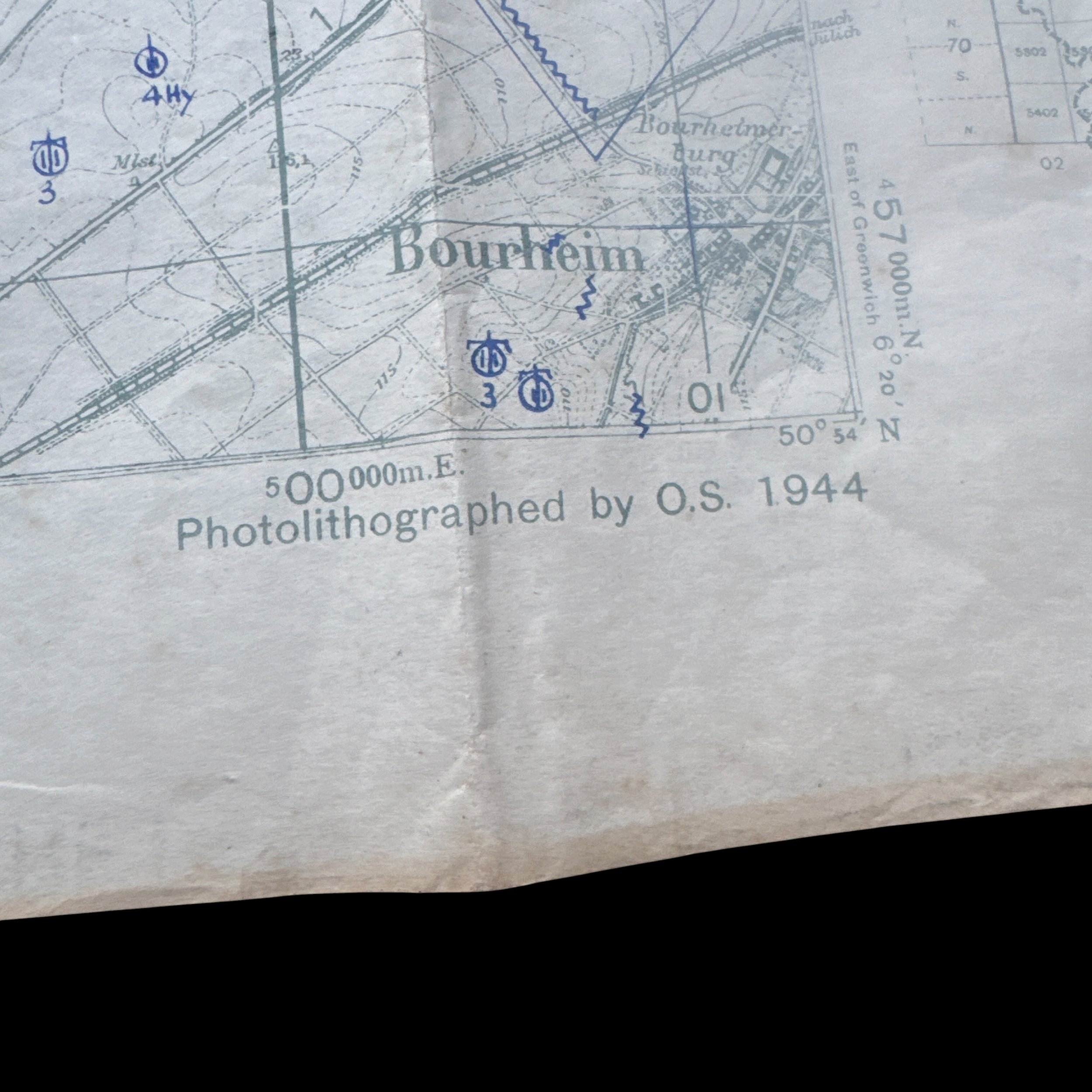
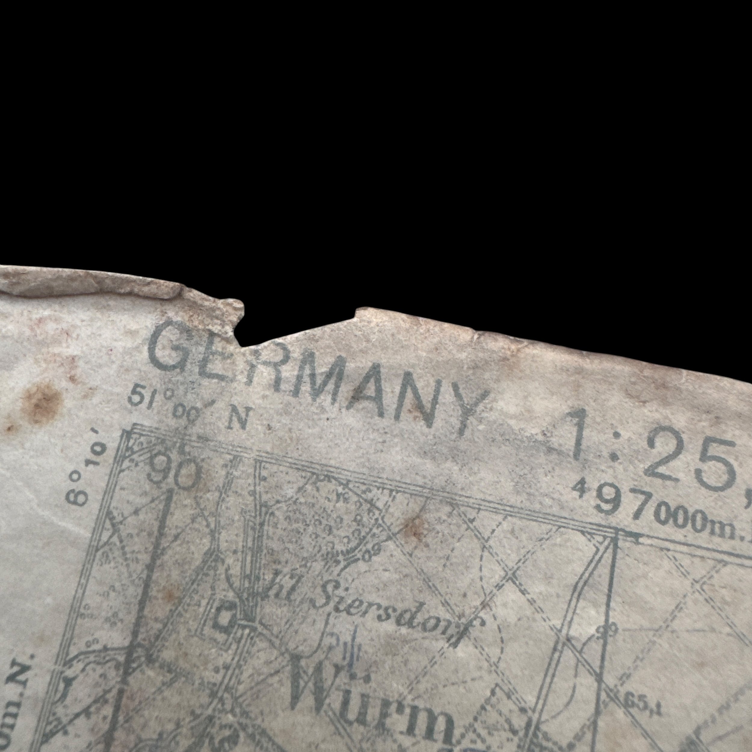
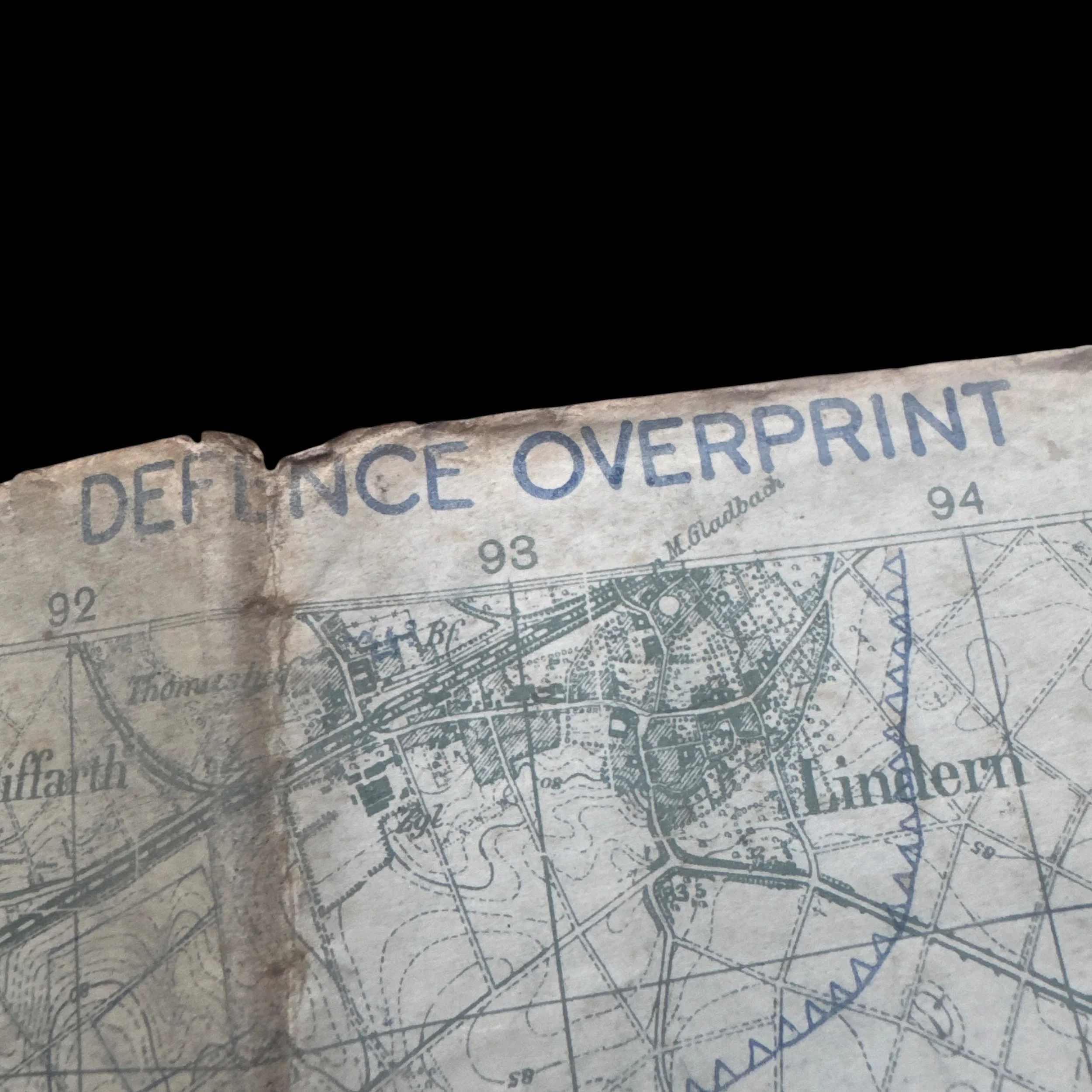
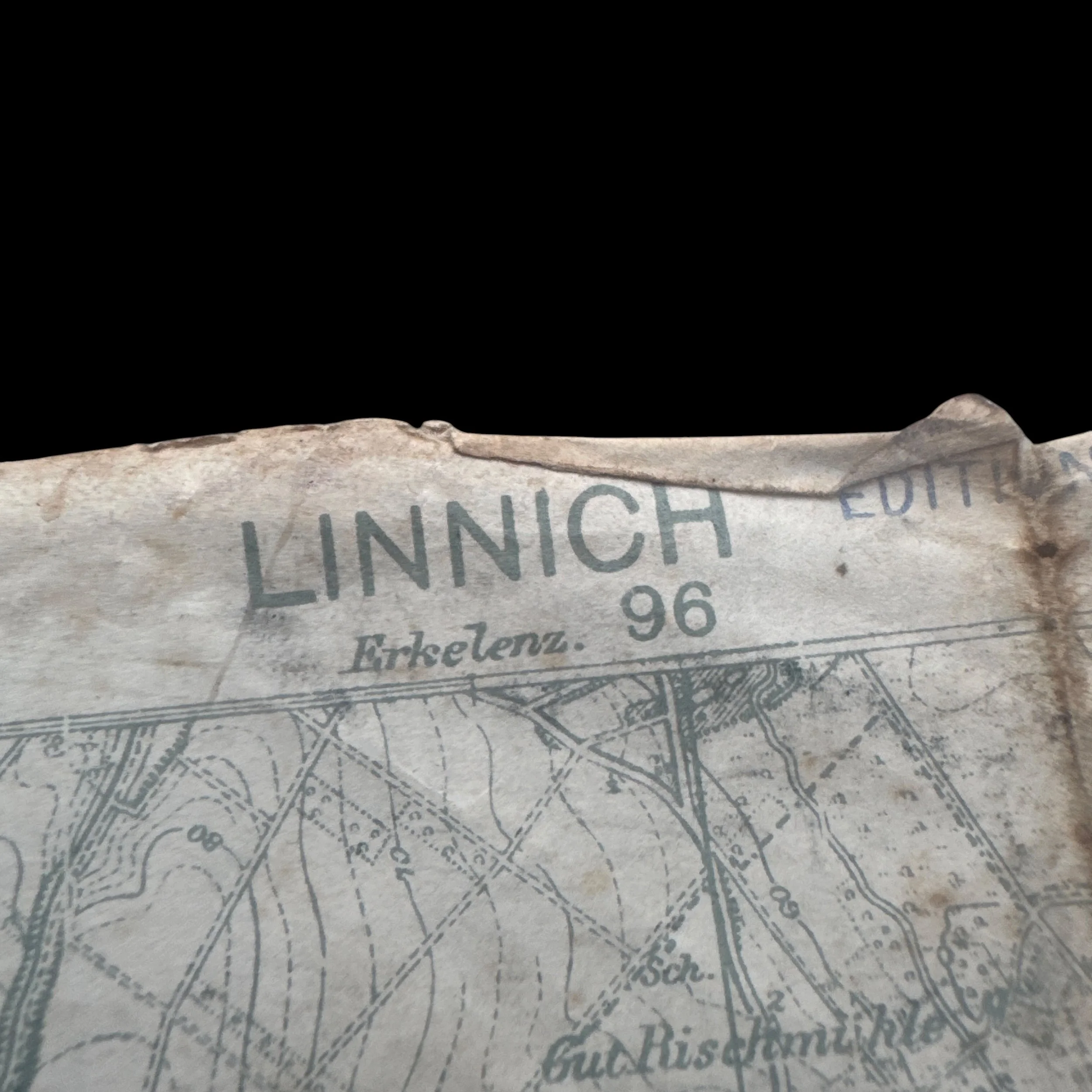
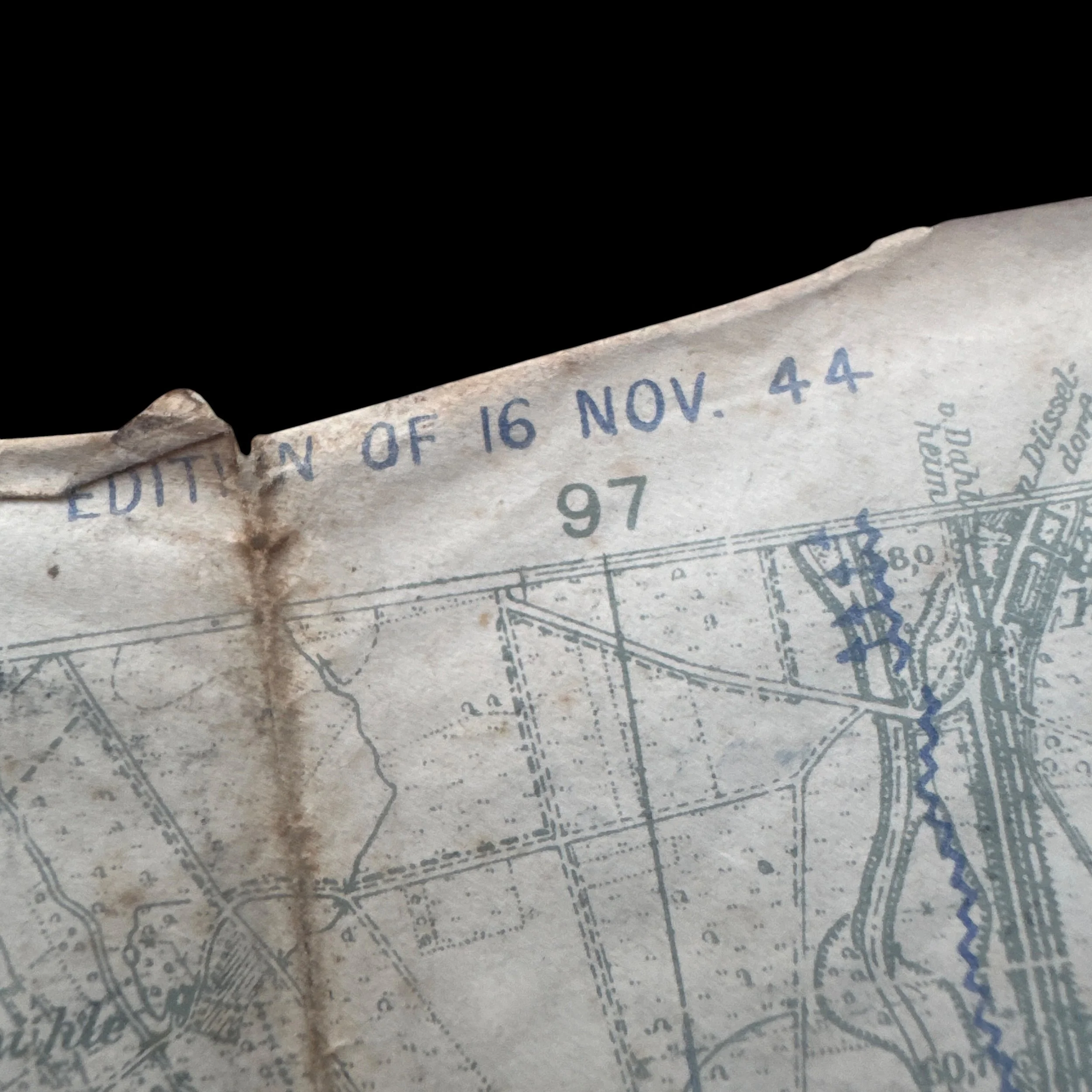
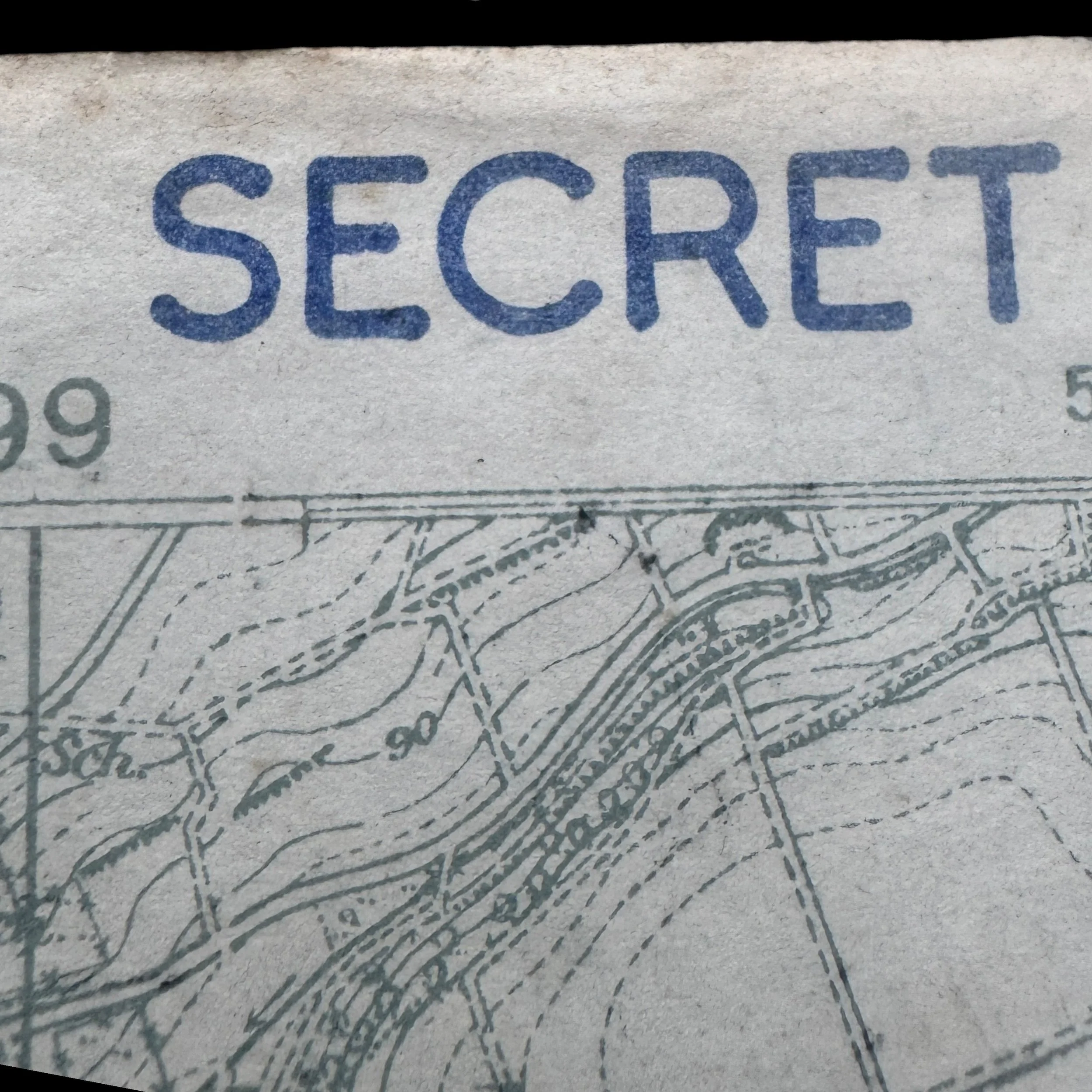
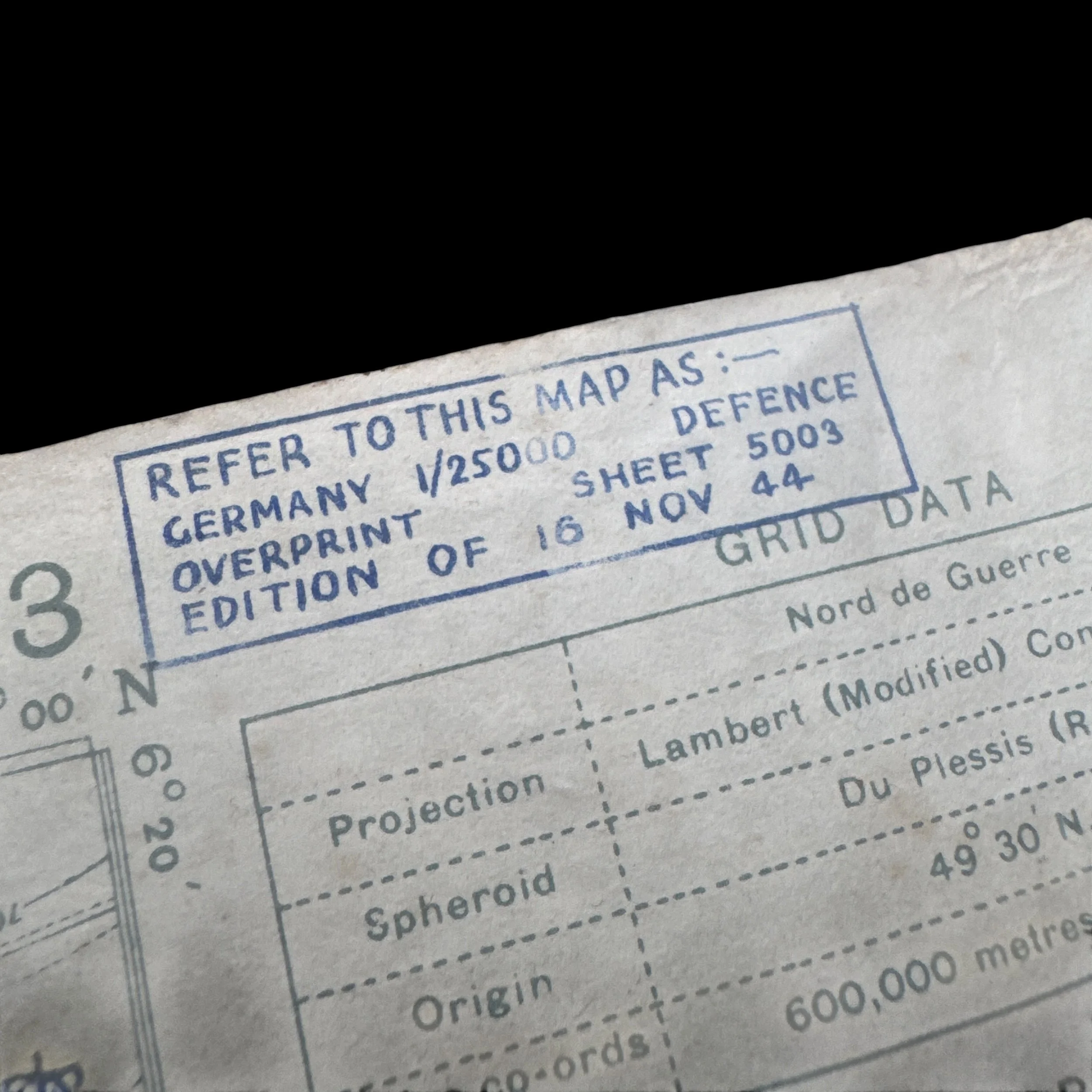
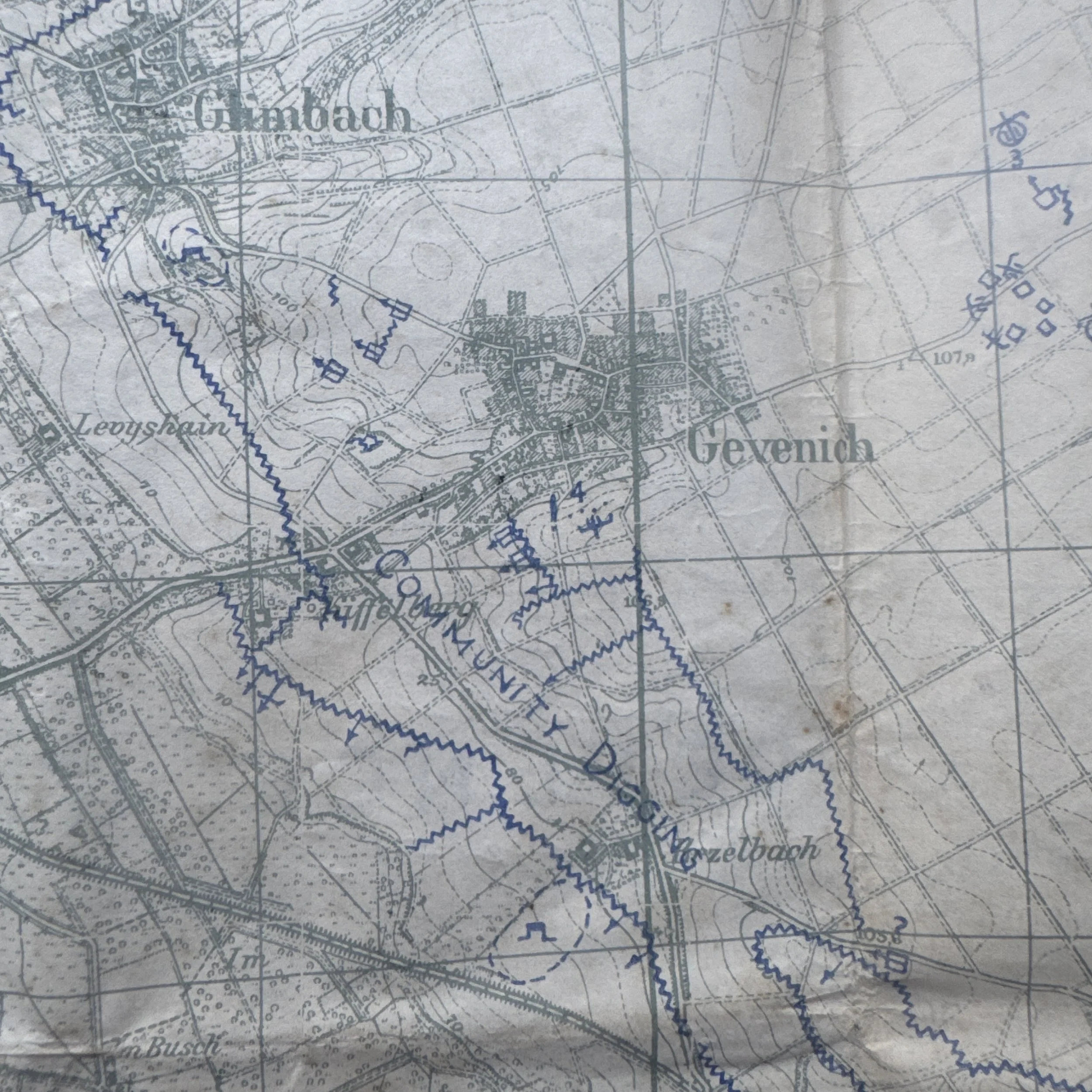
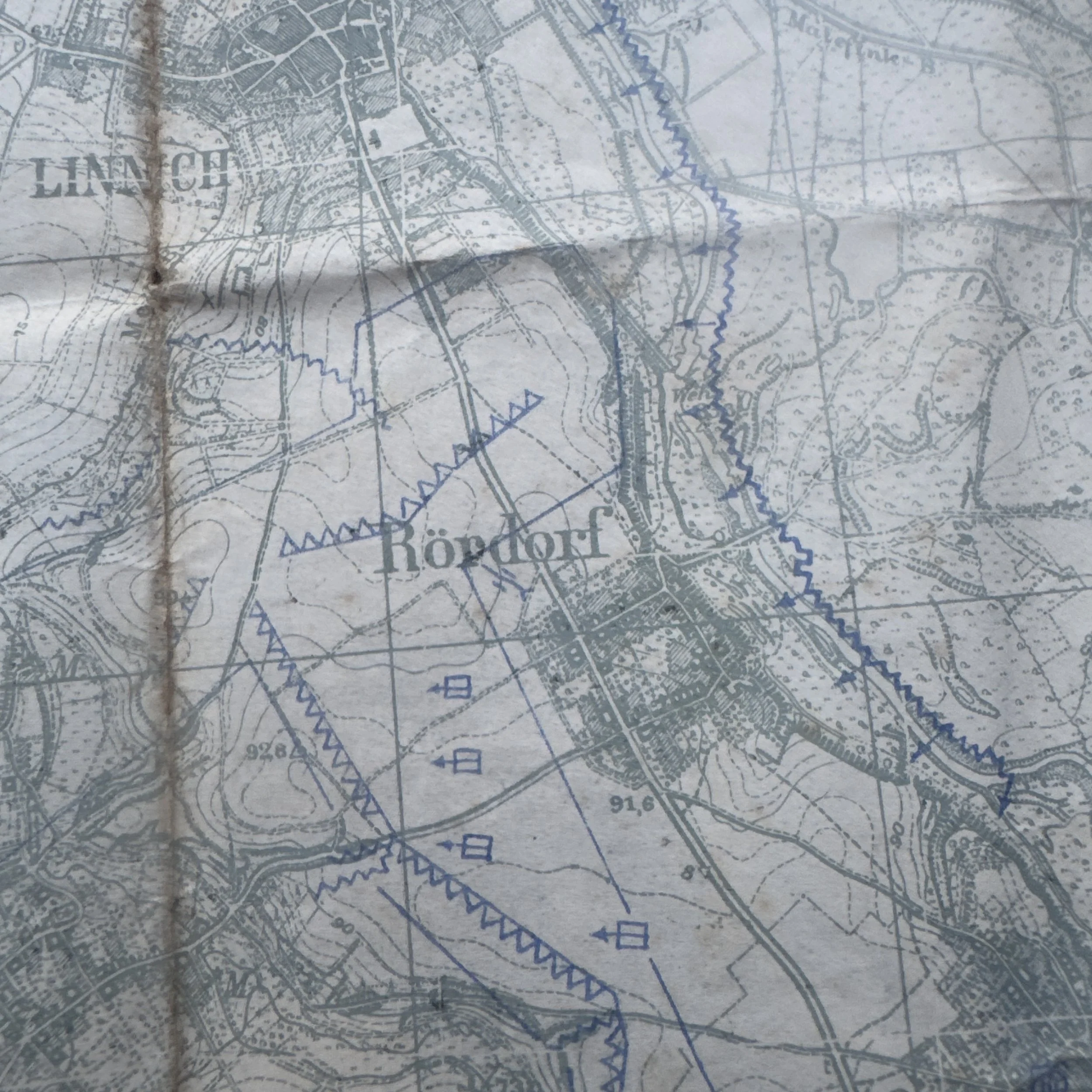
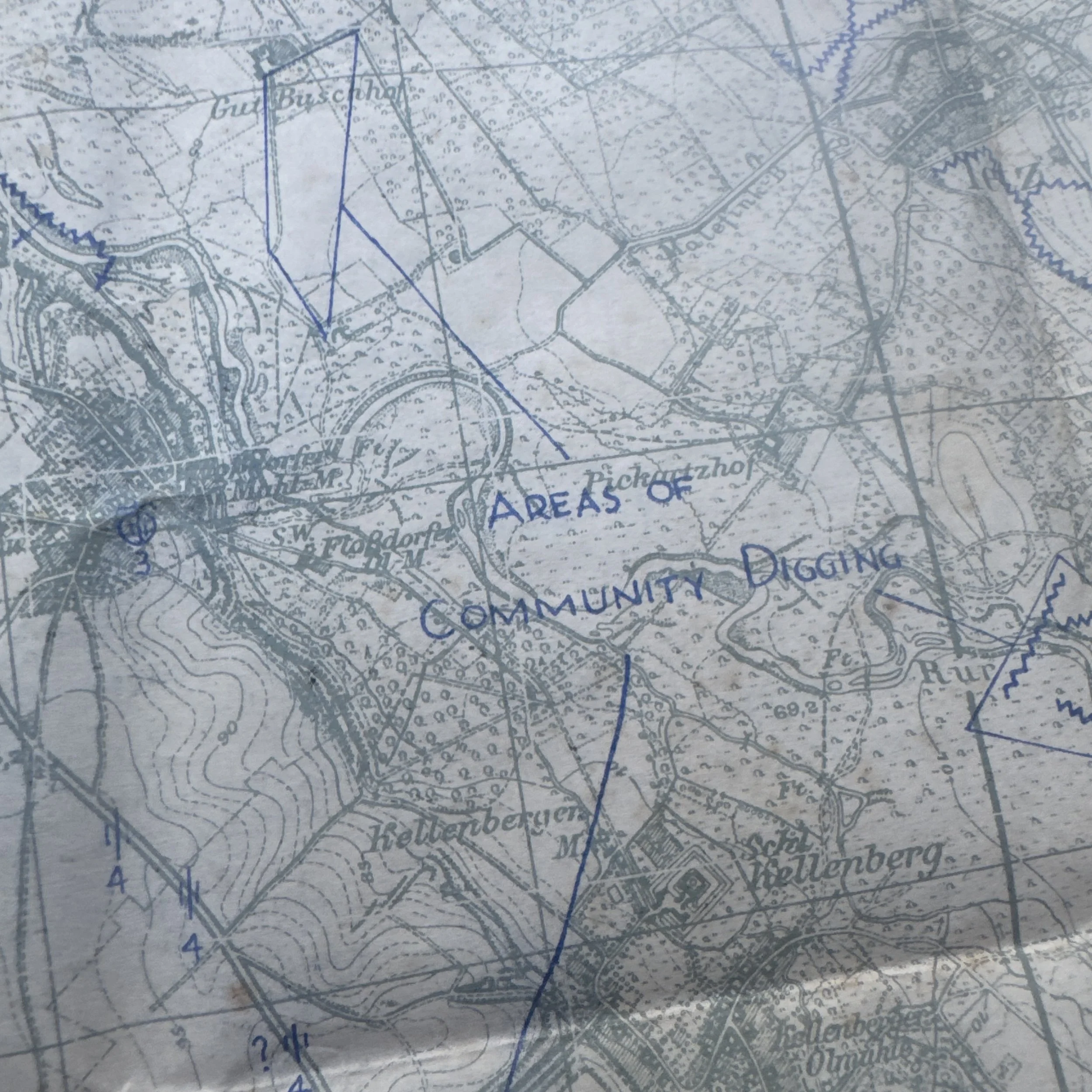
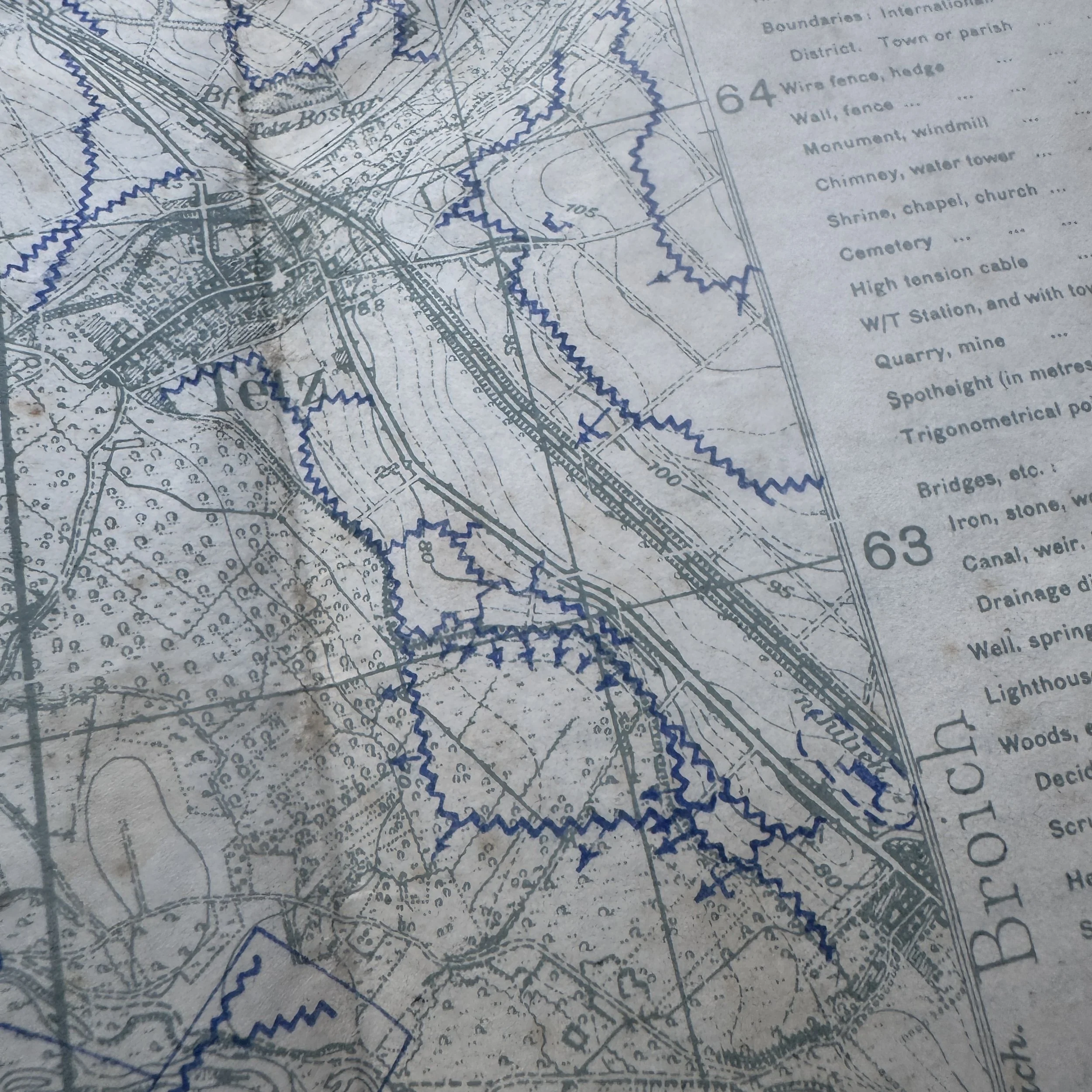
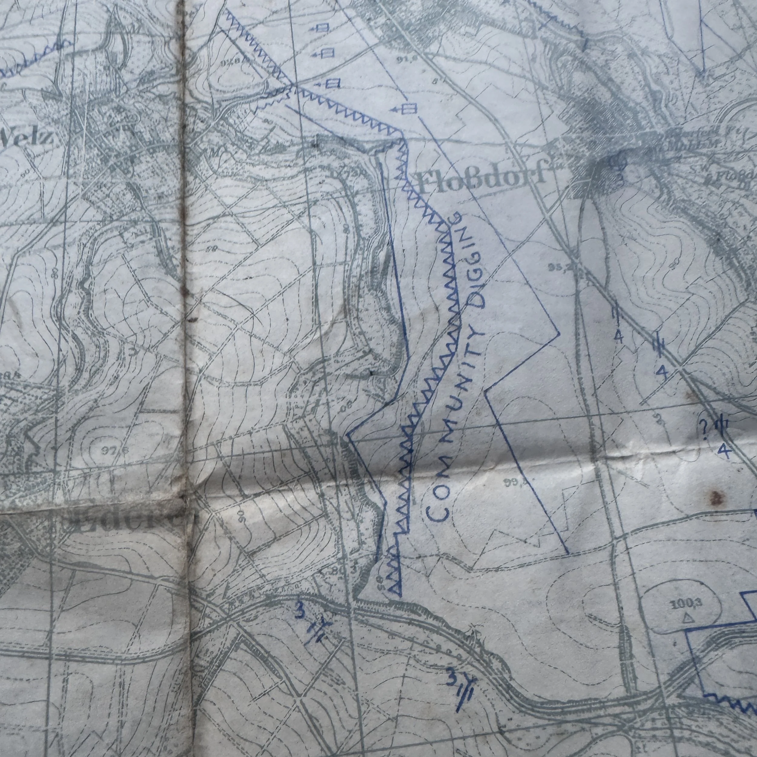
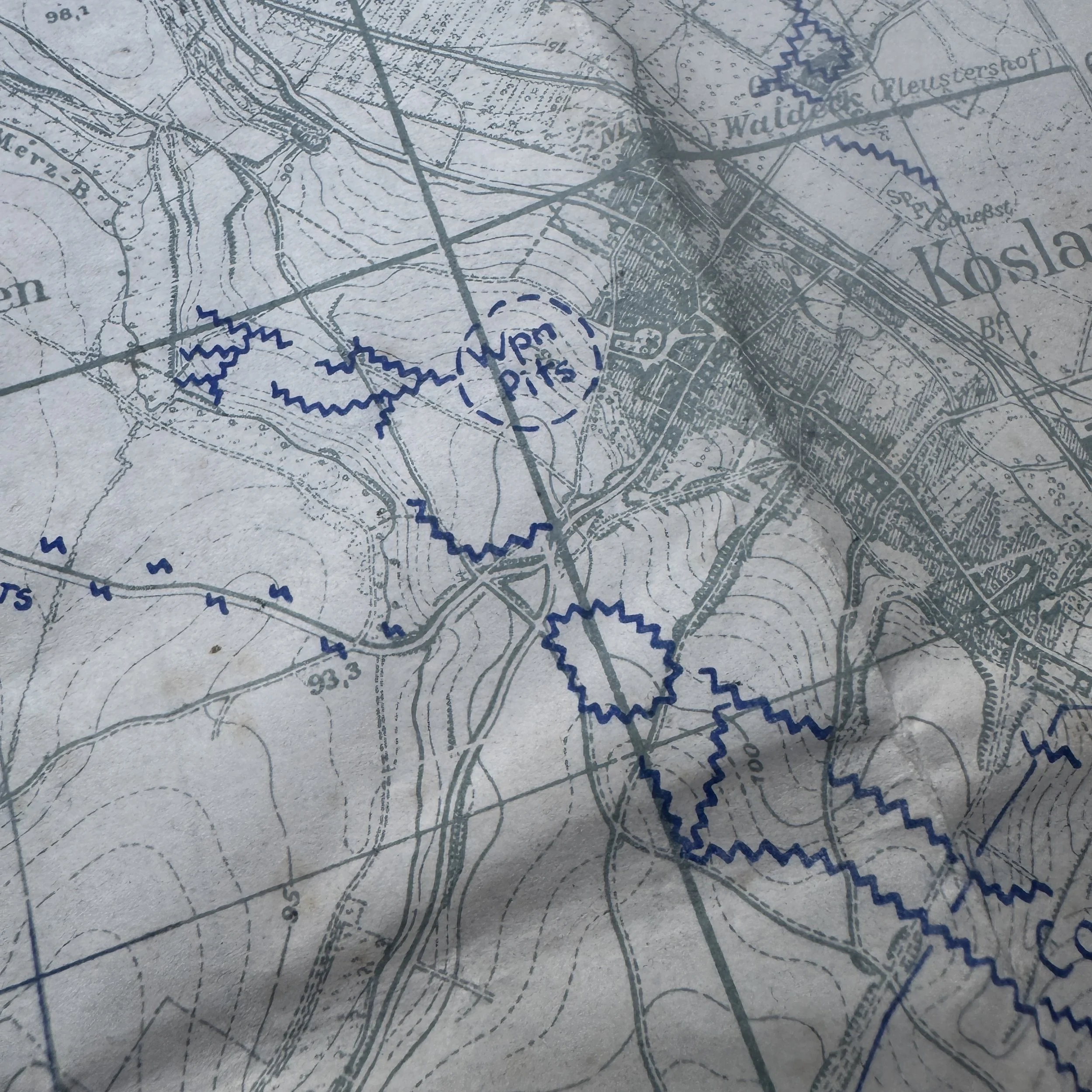
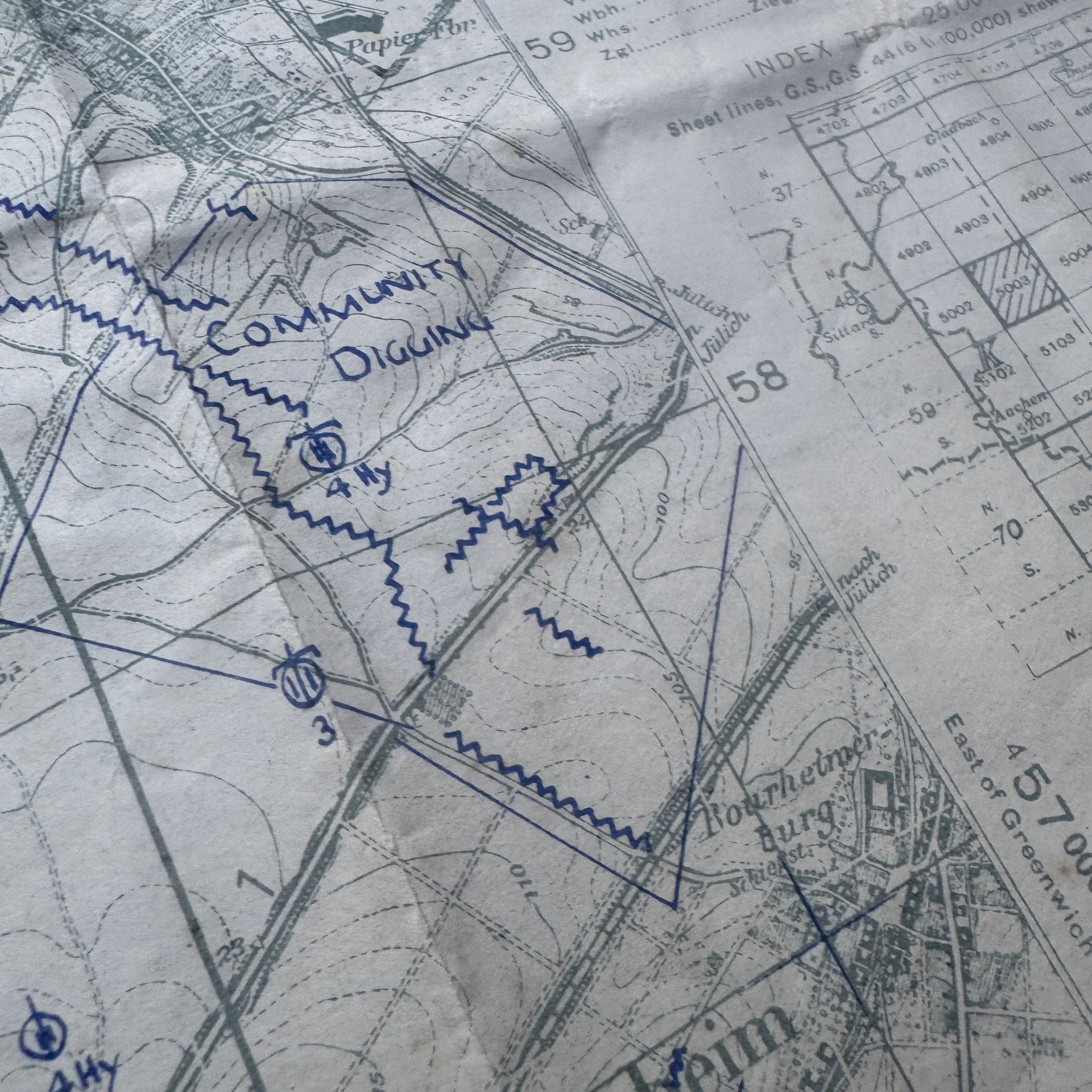
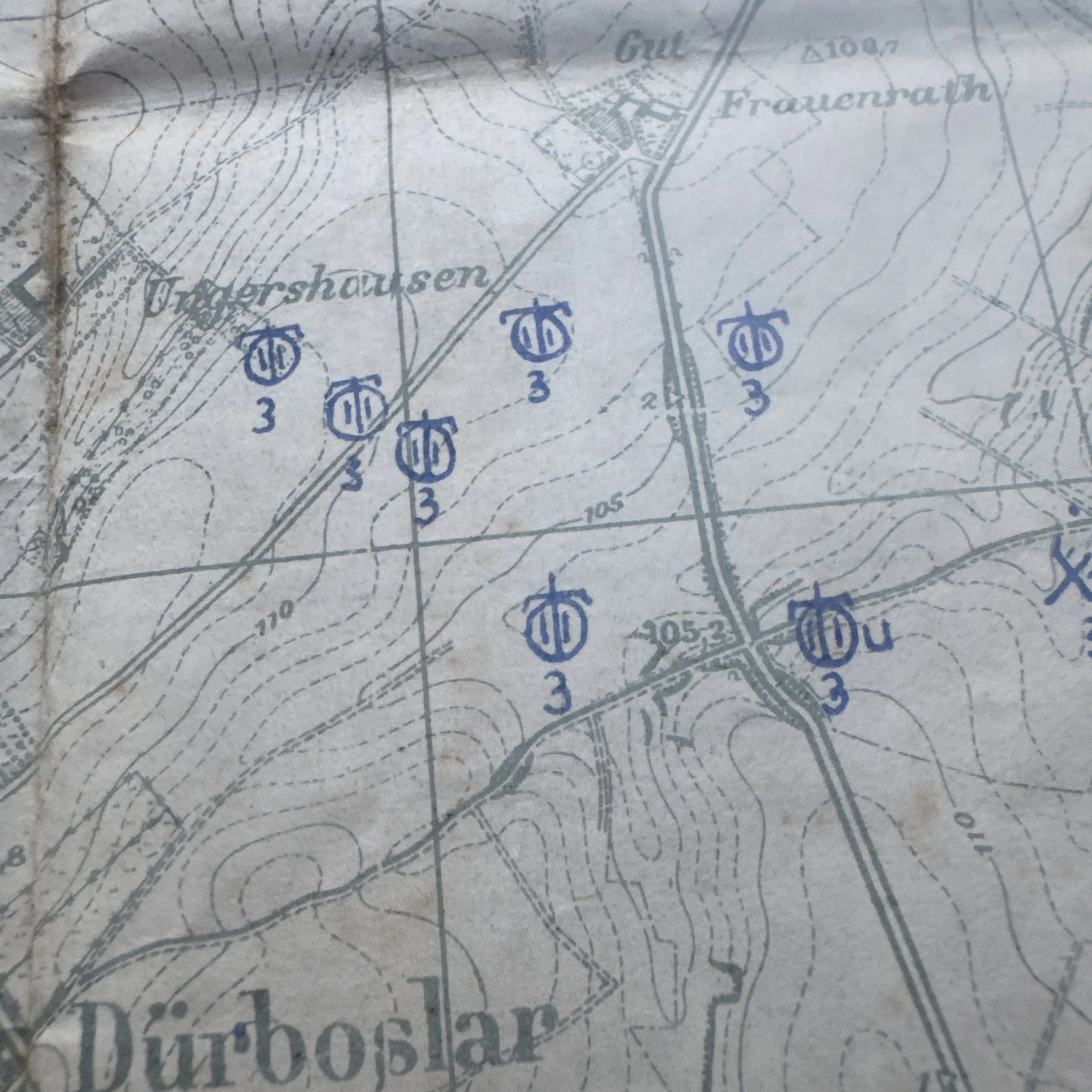
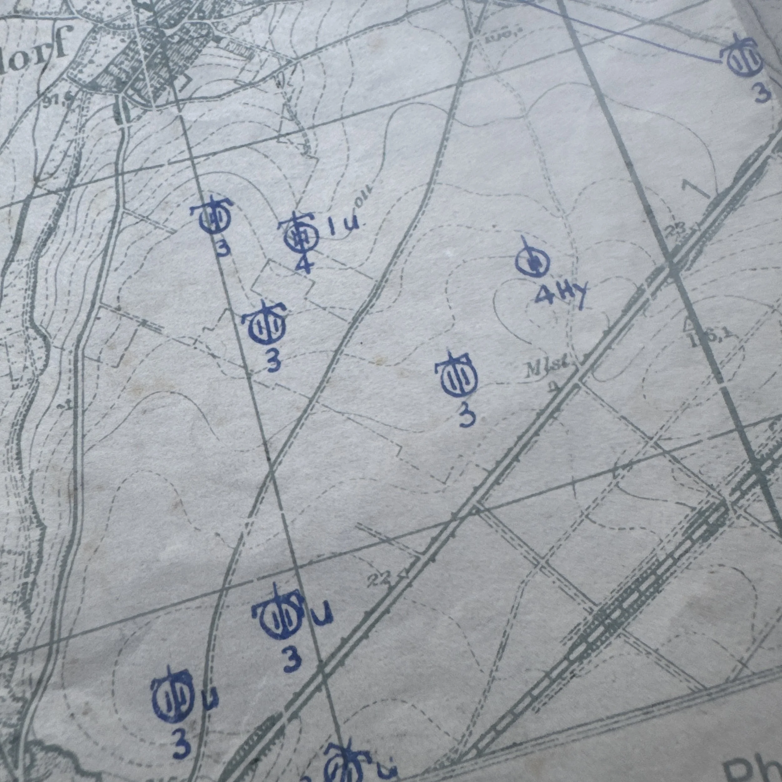
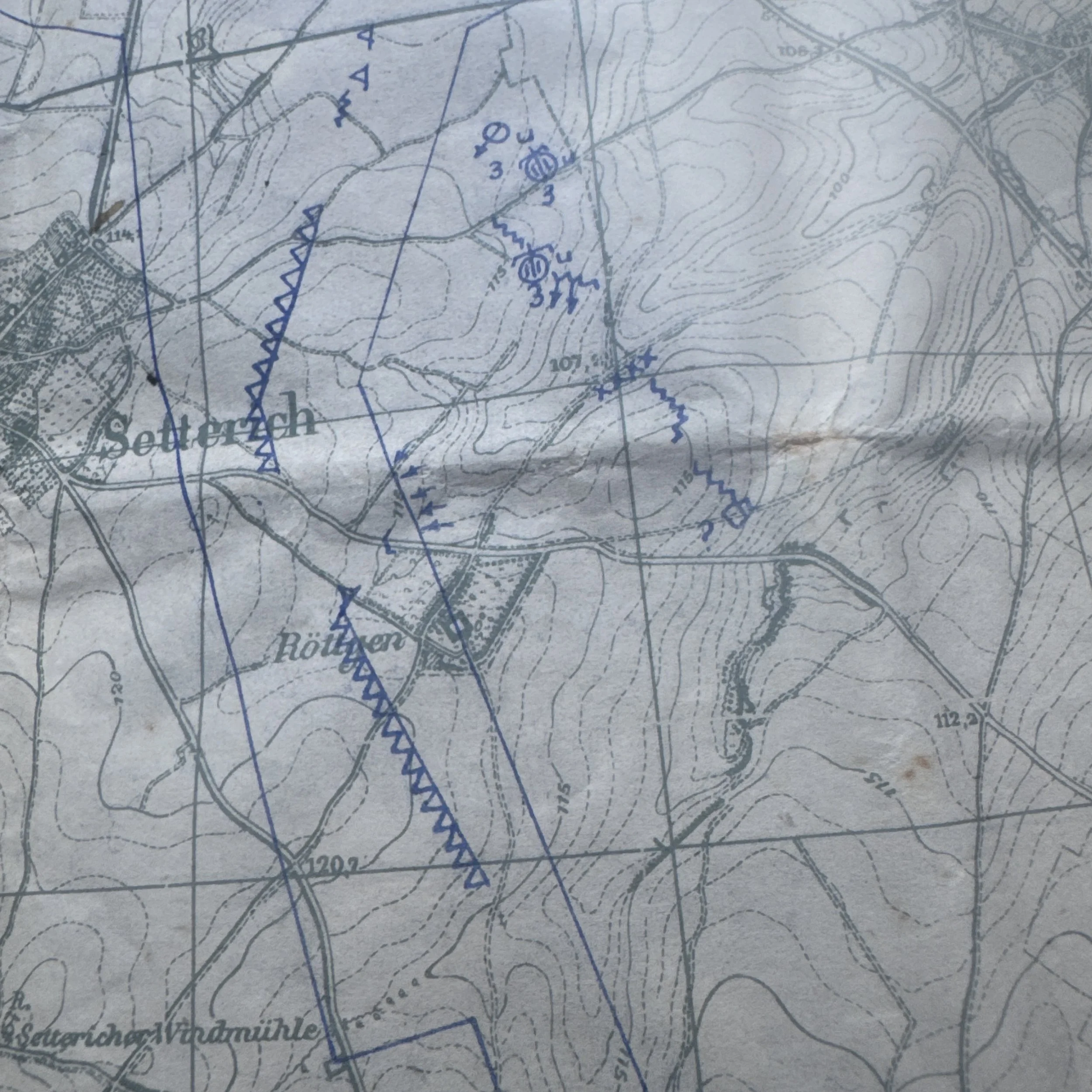
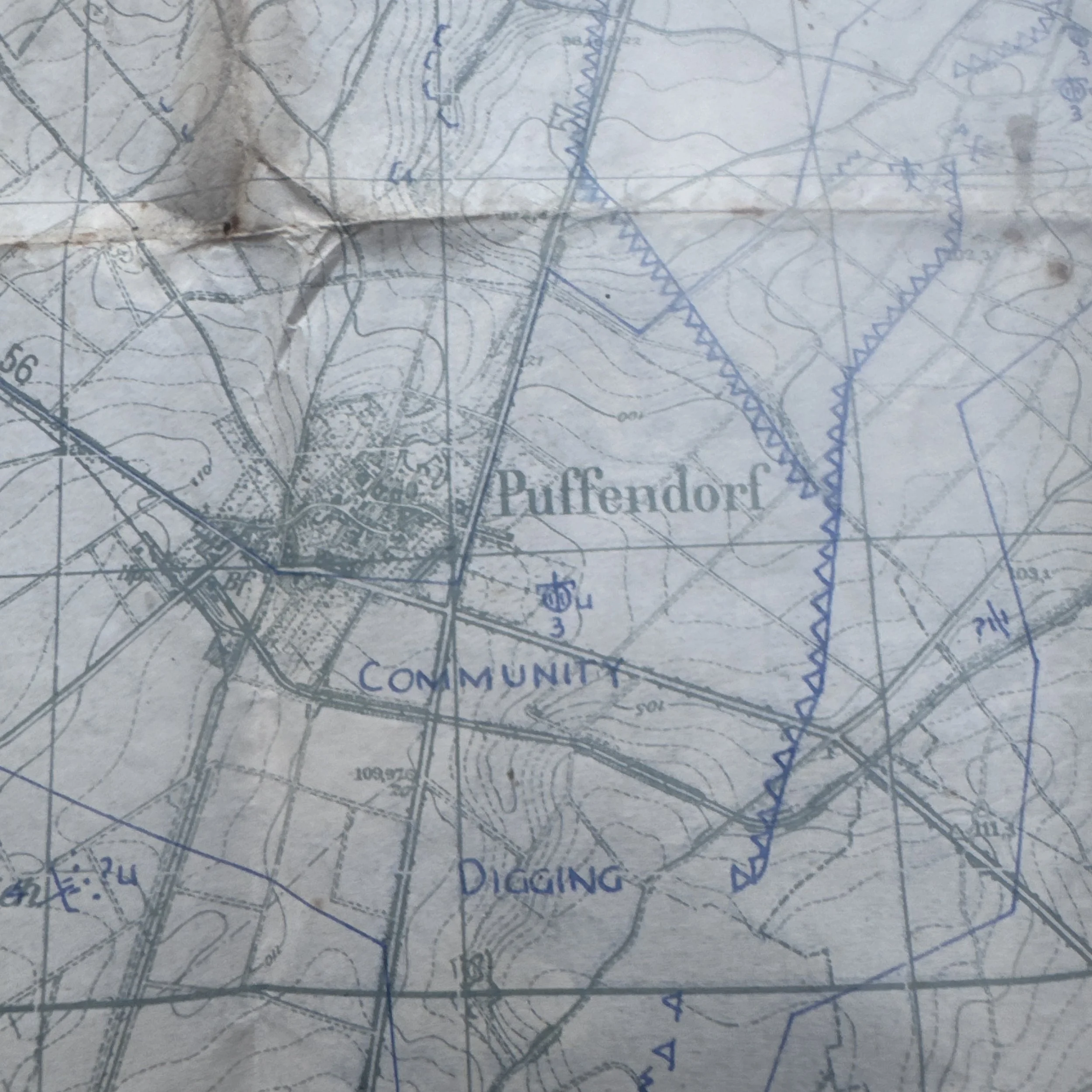
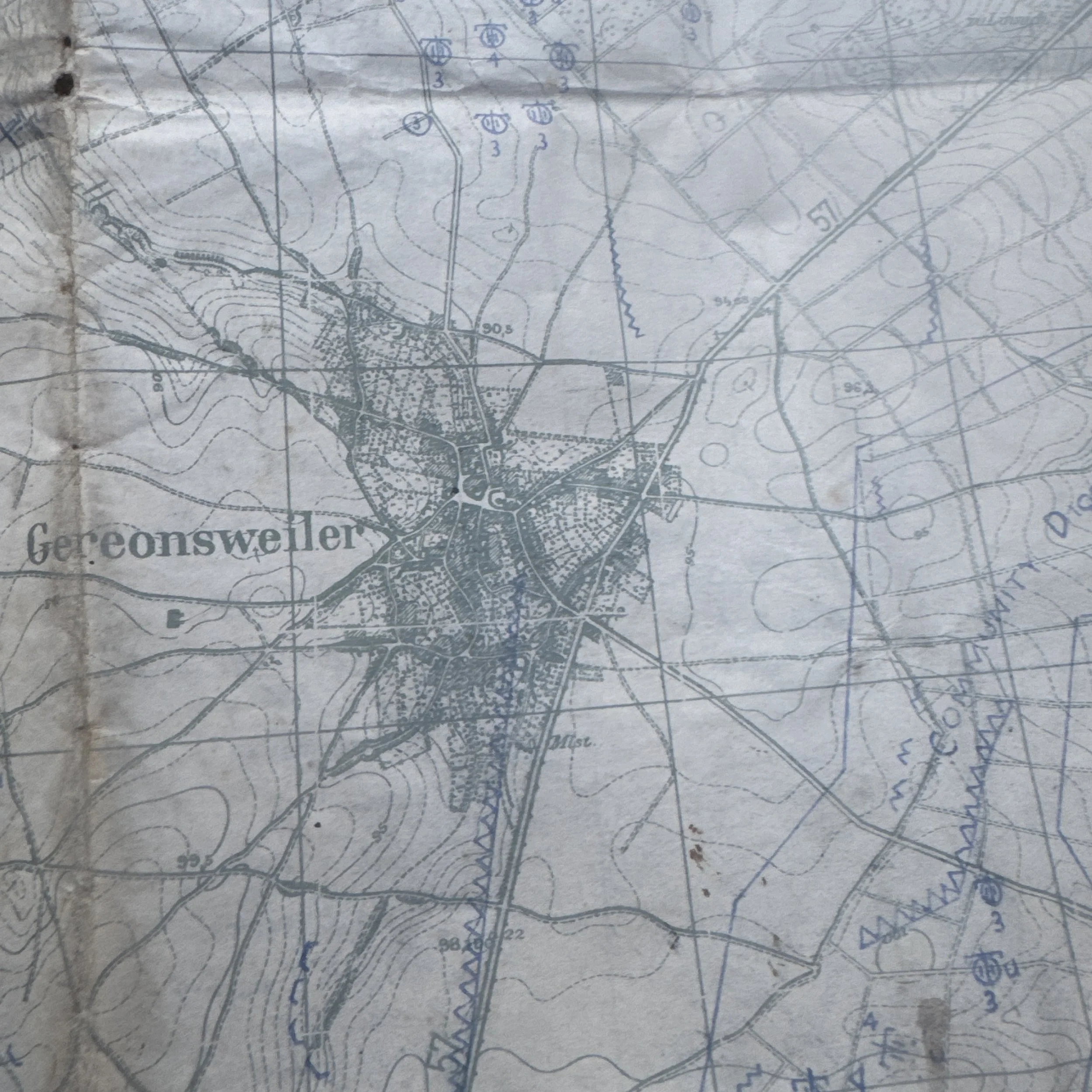
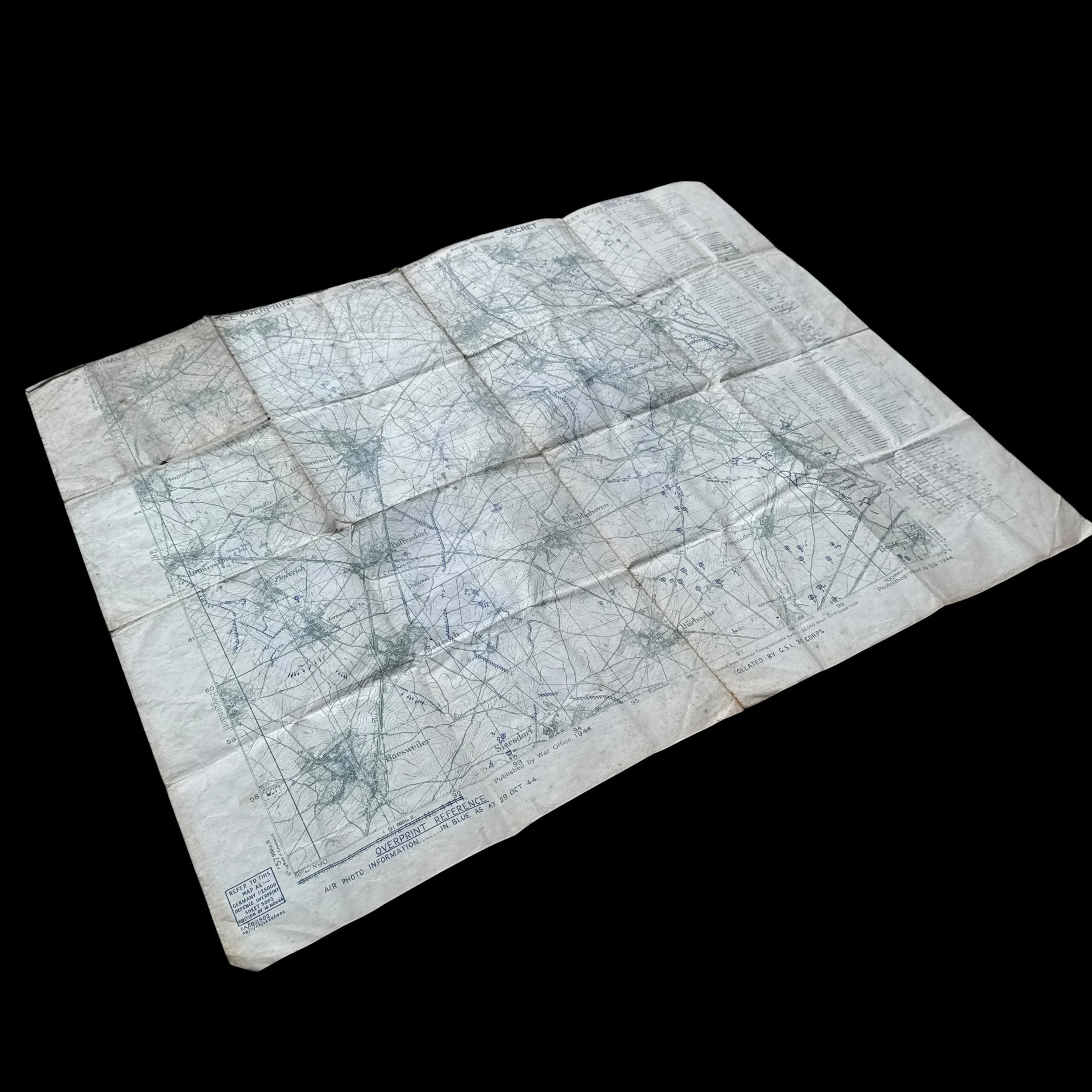
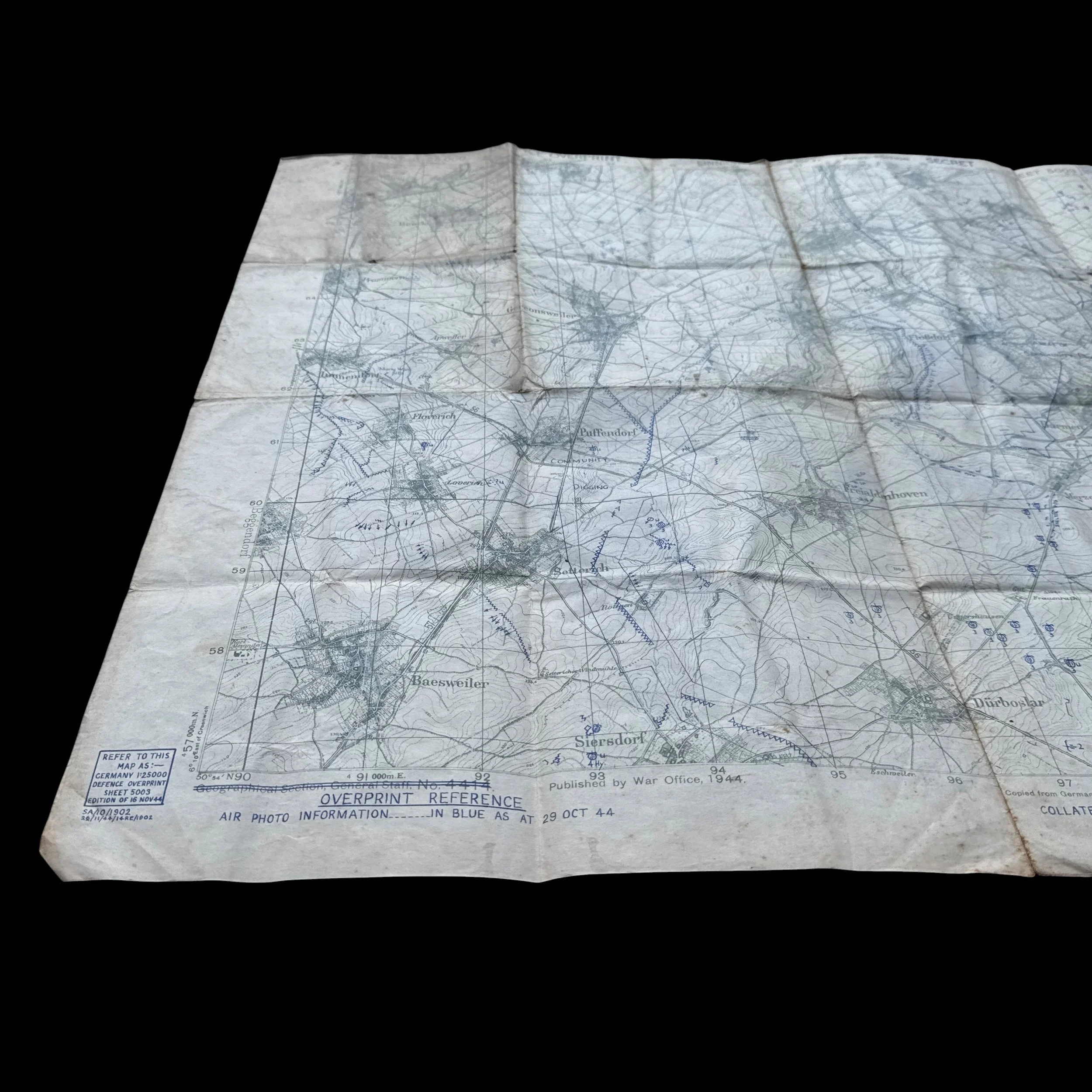
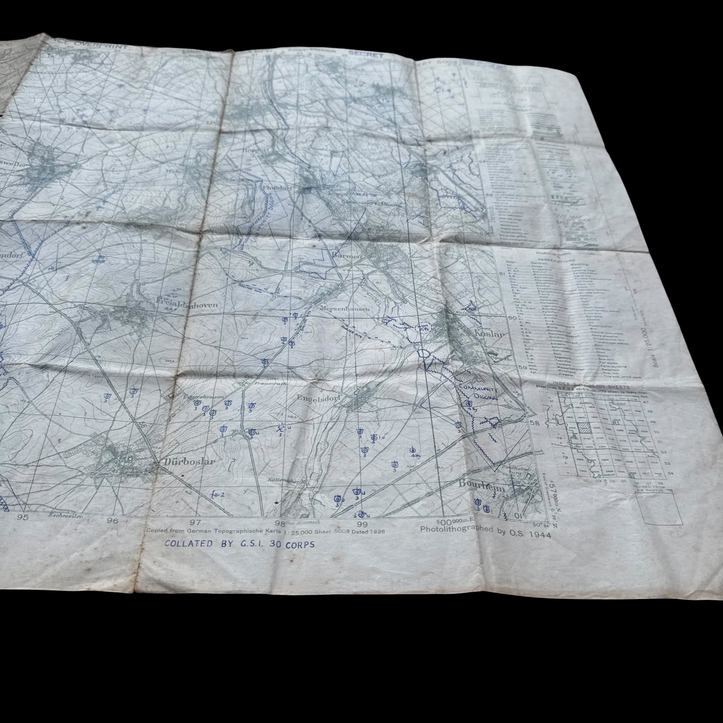
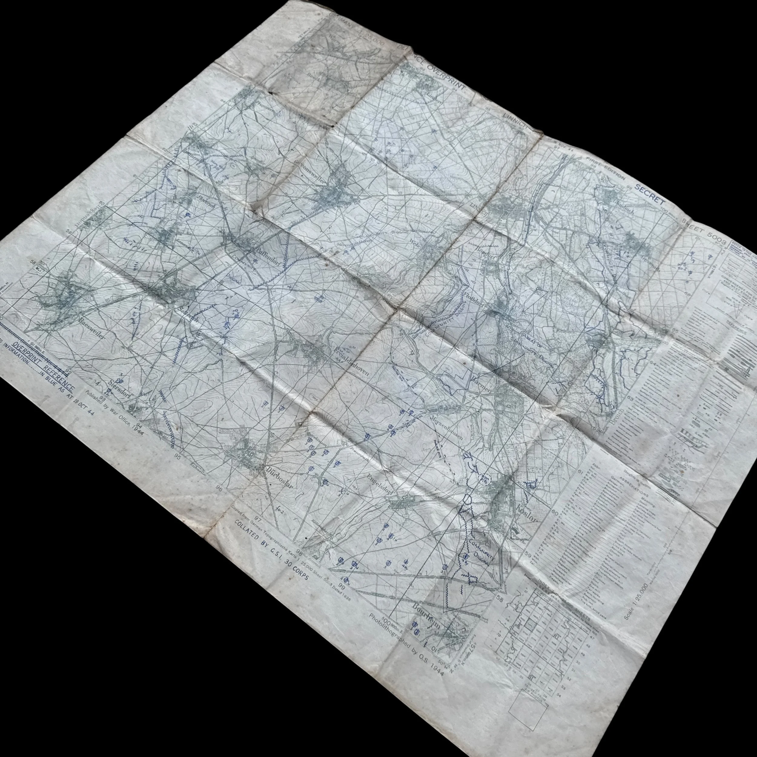
This historical artifact is an original, confidential World War II British military intelligence tactical map officially titled Germany 1:25,000, Sheet 5003 (Linnich). Identified under the Geographical Section, General Staff (GSGS) Series No. 4414, the document carries a blue "SECRET" security classification stamp in its upper right margin. The operational intelligence displayed across the sheet was collated by General Staff Intelligence of the British XXX Corps (G.S.I. 30 Corps) utilizing aerial photographic reconnaissance collected up to October 29, 1944. The defense overprint edition was formally finalized, printed, and distributed on November 16, 1944, by the Royal Engineers Field Survey Unit under code SA/10/1902 26/11/44/14-RE/1902. Geographically, the map covers a strategic sector of North Rhine-Westphalia in the Roer (Rur) River basin, depicting key German towns including Linnich, Baesweiler, Puffendorf, Dürboslar, Siersdorf, and Setterich.
The print date of November 16, 1944, directly links this document to D-Day of Operation Queen, a major Allied offensive designed to push through the Roer Valley toward the Rhine River. During this period, British XXX Corps operated on the northern flank of the U.S. Ninth Army. Between November 18 and November 23, 1944, British XXX Corps—comprising the 43rd (Wessex) Infantry Division and 8th Armoured Brigade—joined forces with the U.S. 84th Infantry Division in Operation Clipper to reduce the Geilenkirchen salient and breach the Westwall defenses heading east. Simultaneously, the terrain visible on Sheet 5003 around Puffendorf, Baesweiler, and Siersdorf saw intense armored warfare, such as the heavy tank engagements between the U.S. 2nd Armored Division and German Panzer forces. As a fortified position along the Roer River, Linnich remained a major objective until Allied forces fully secured the town in early December 1944.
Cartographic Characteristics & The Defence Overprint
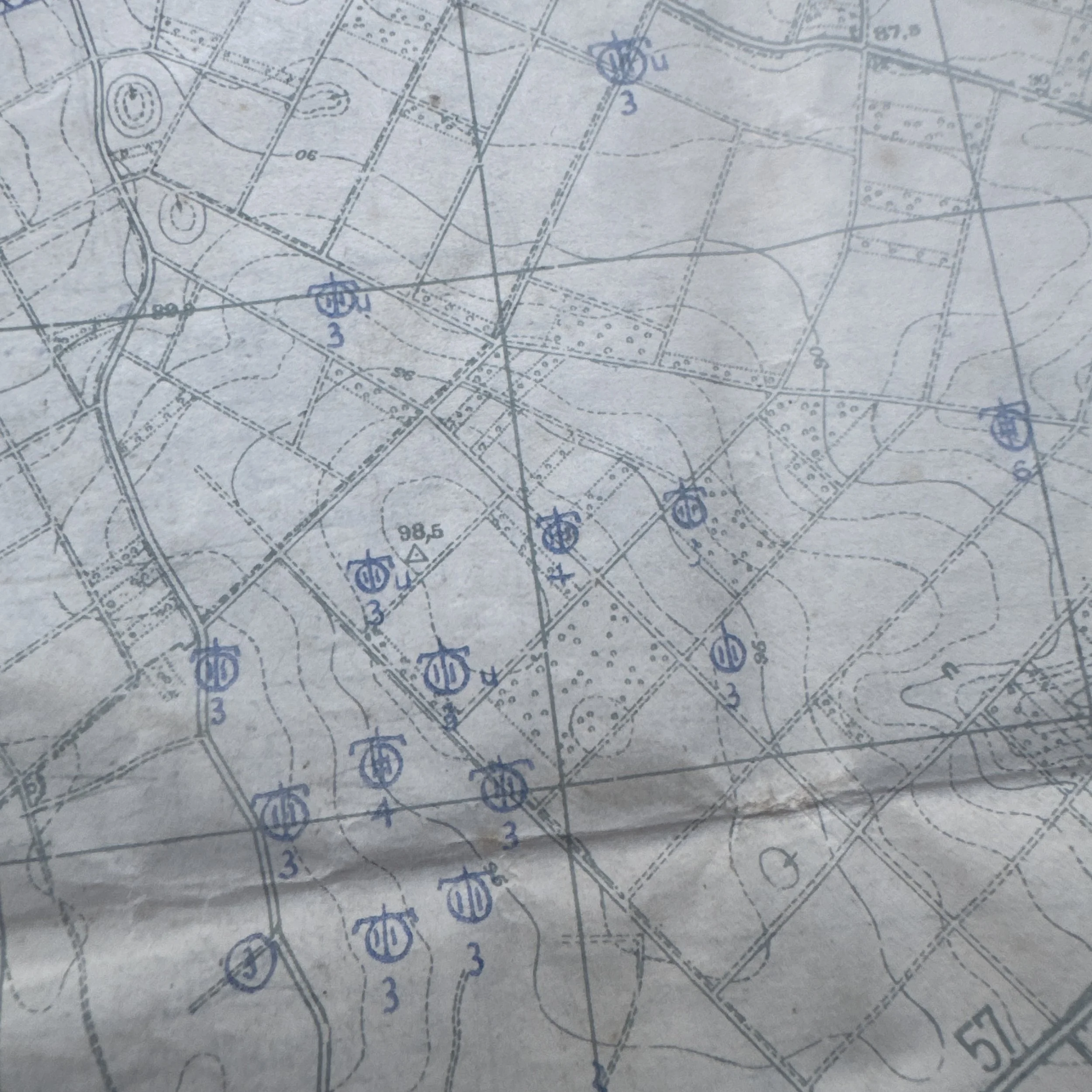
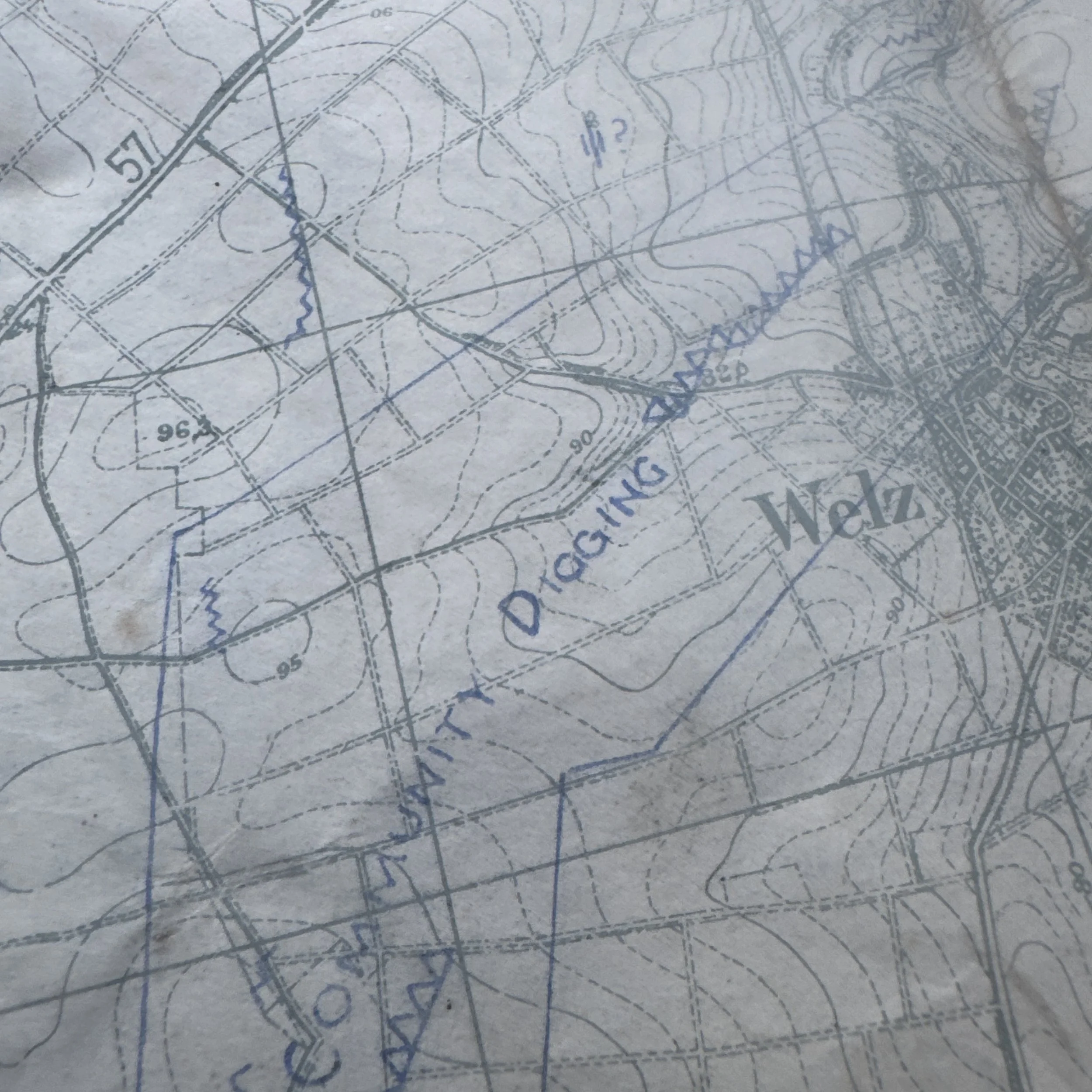
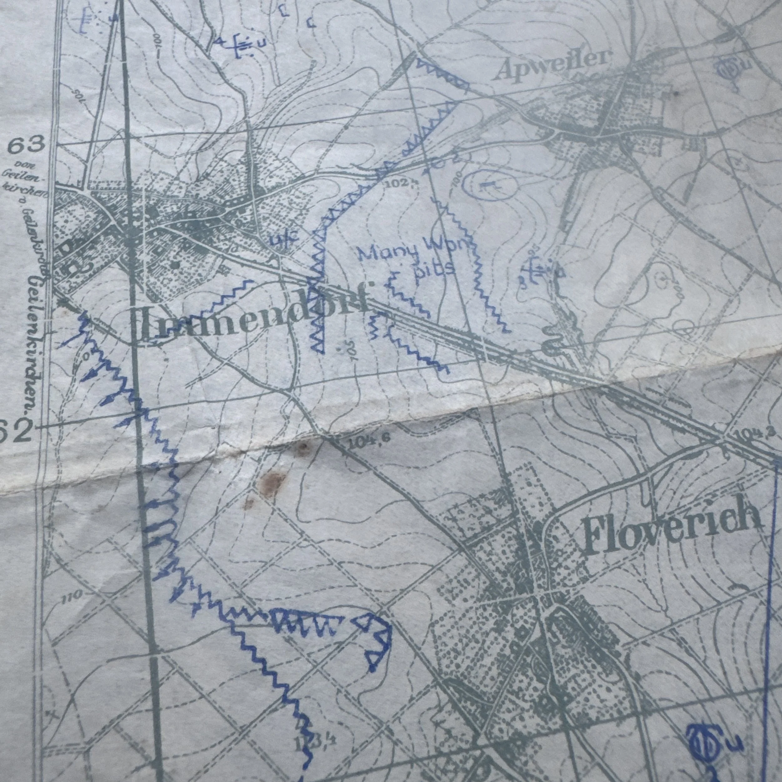
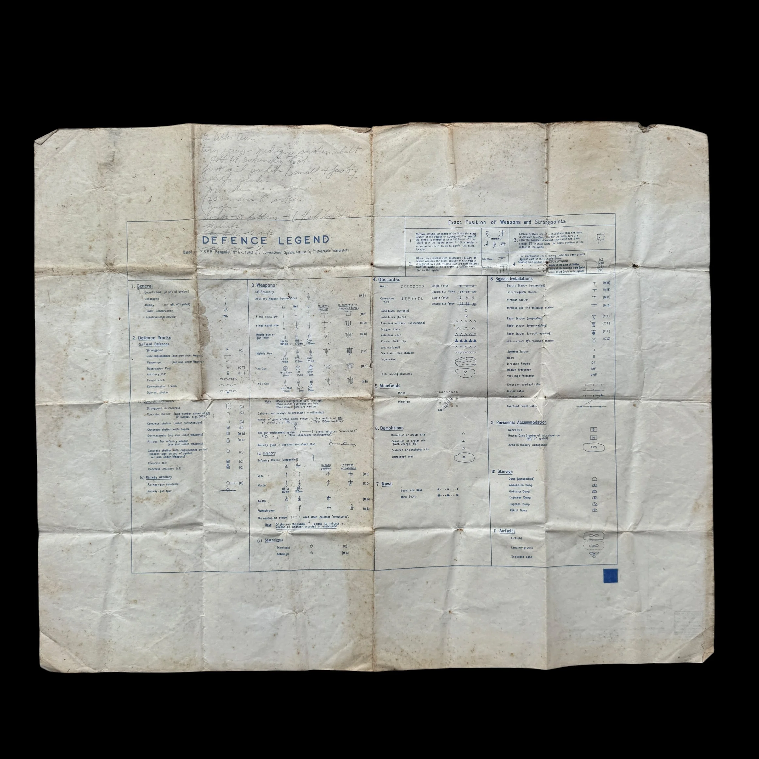
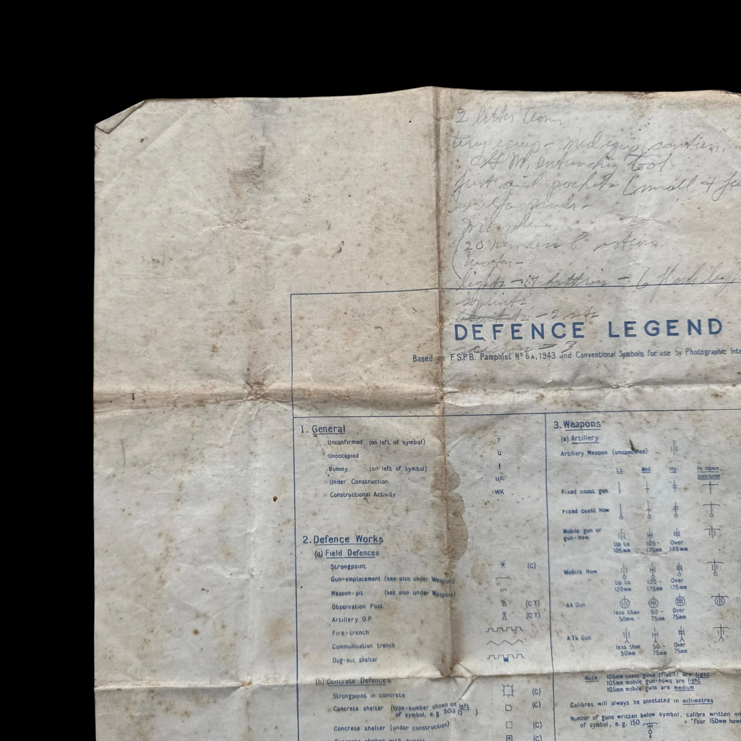
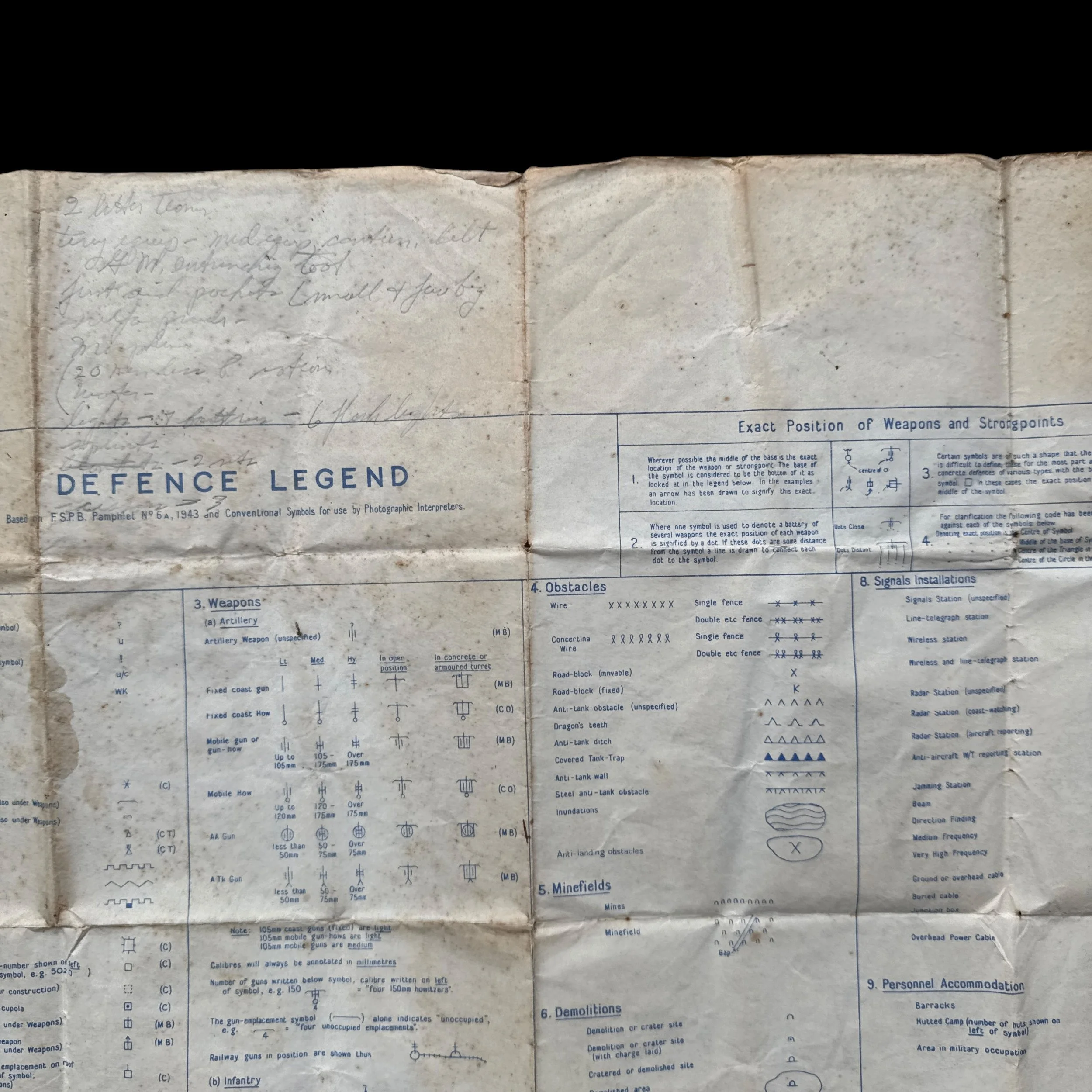
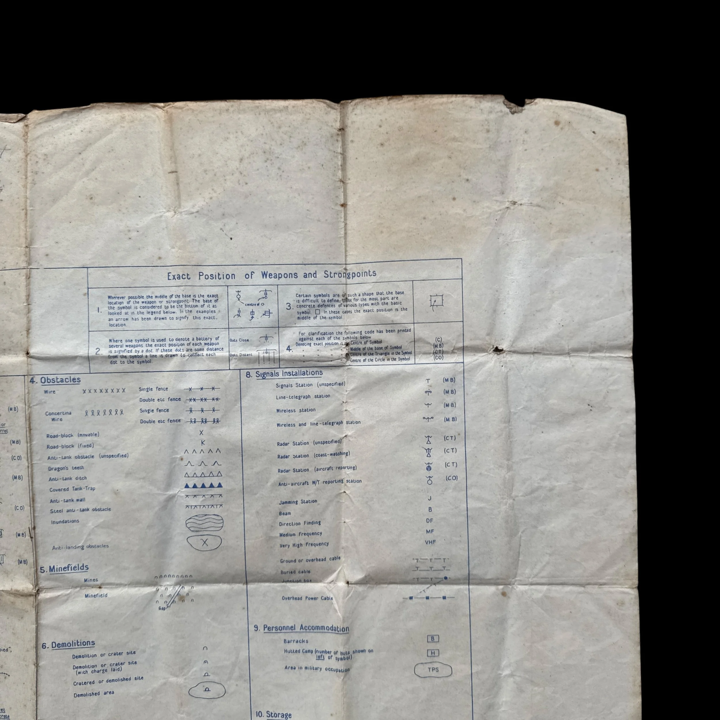
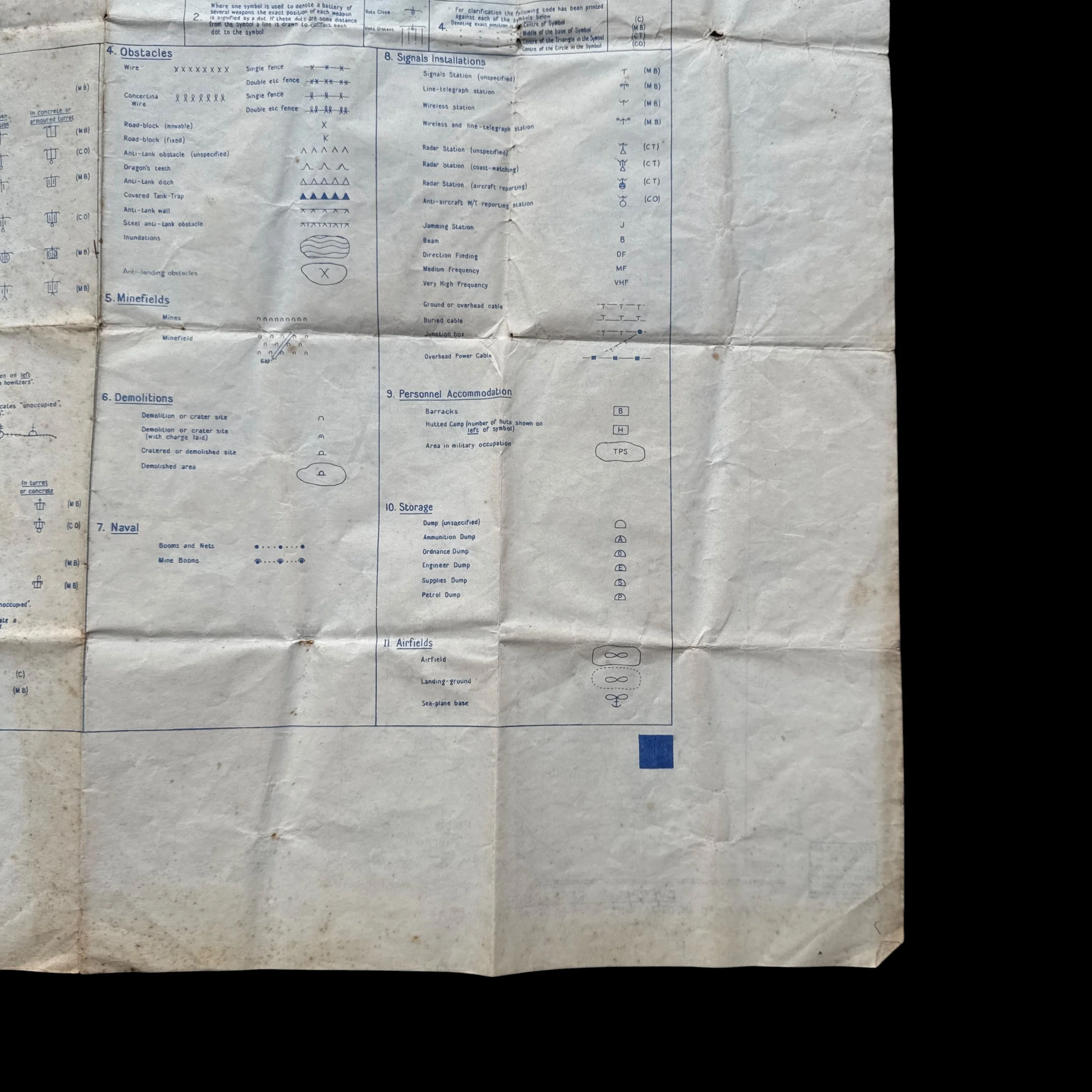
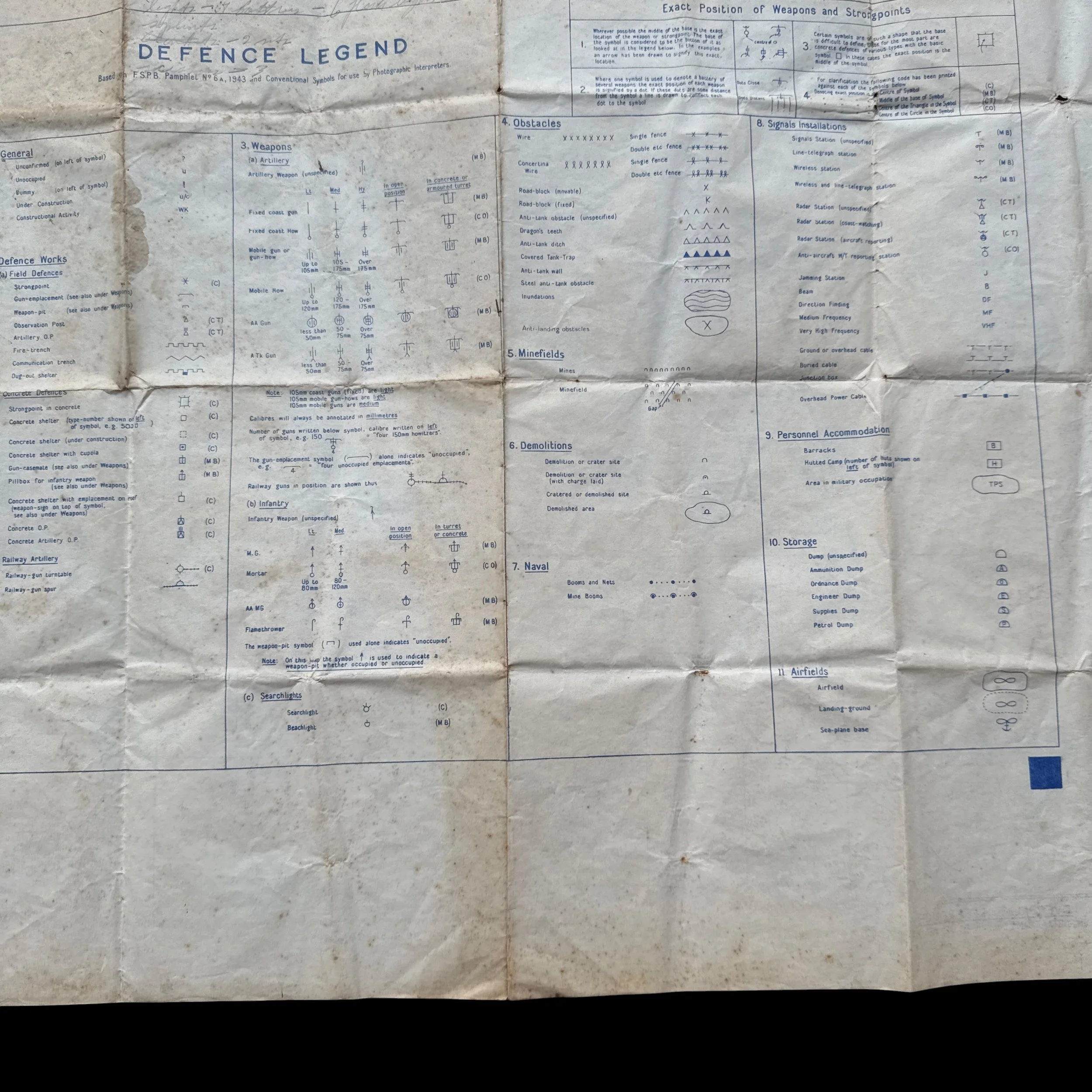
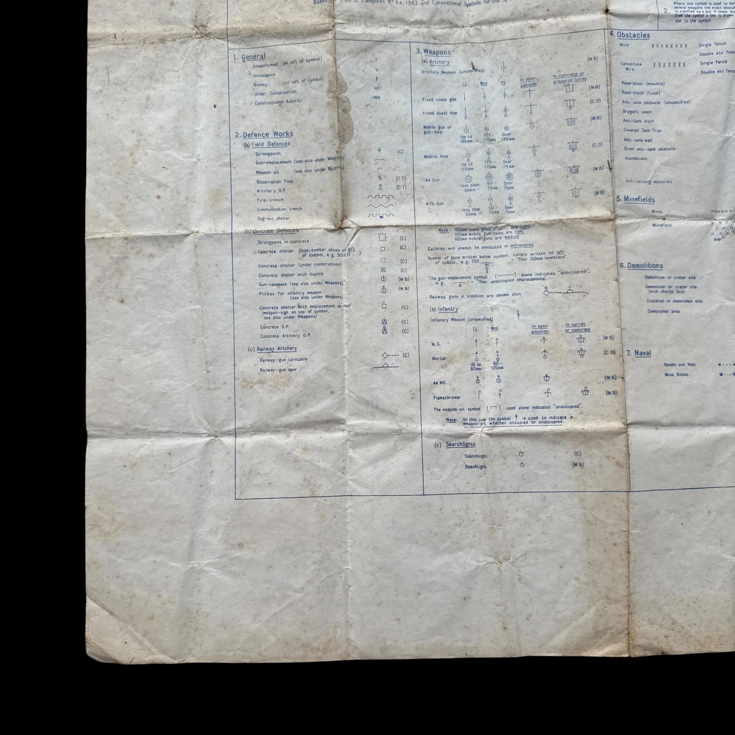
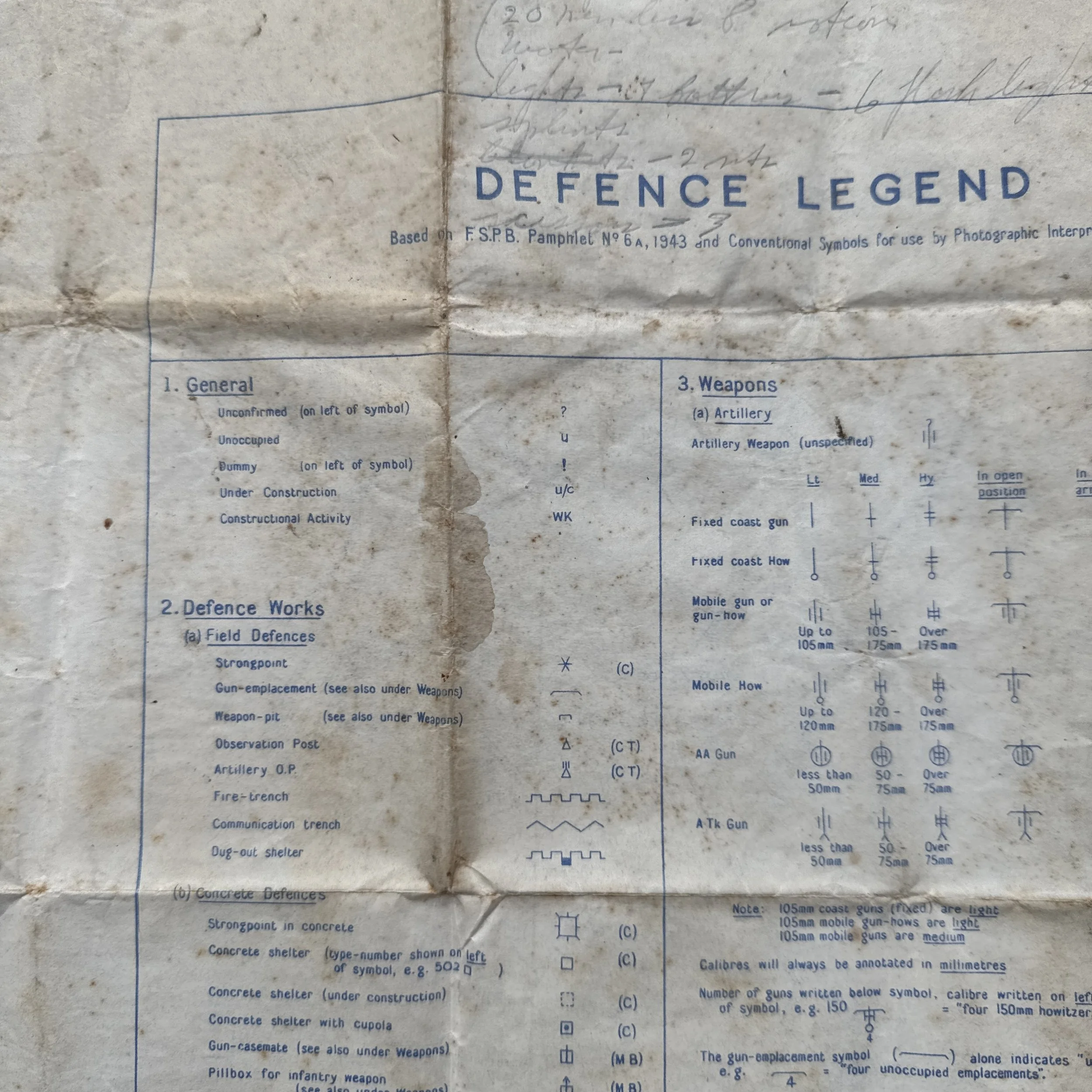
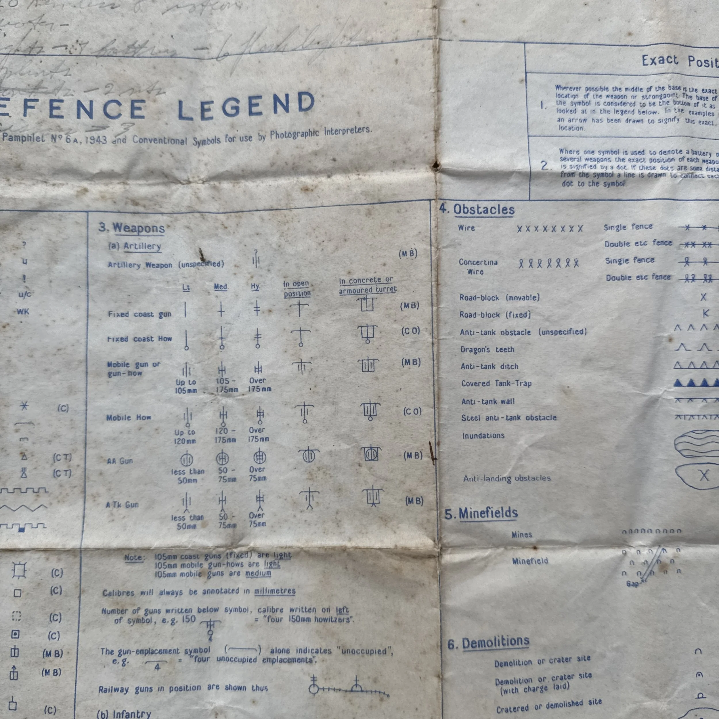
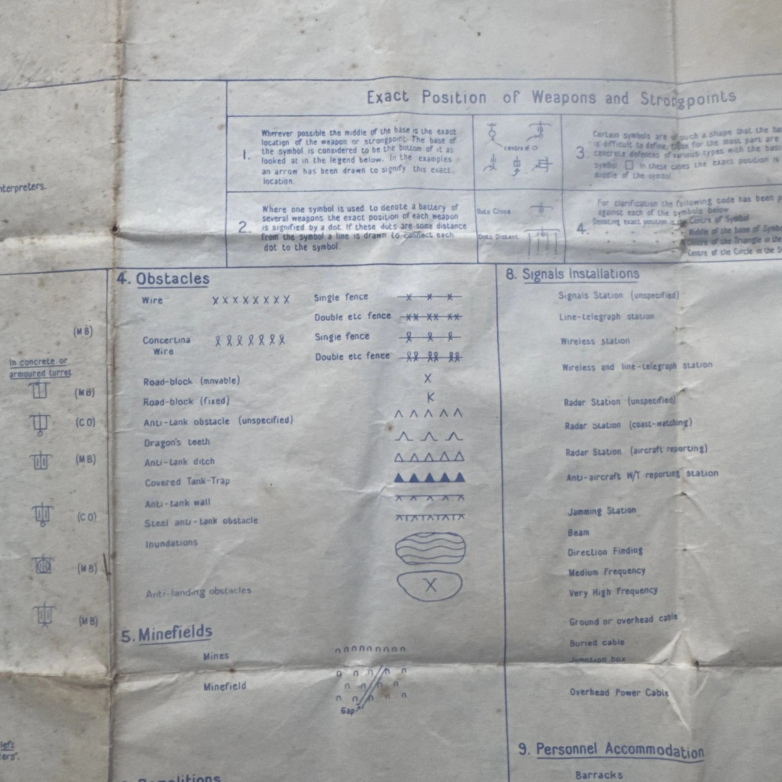
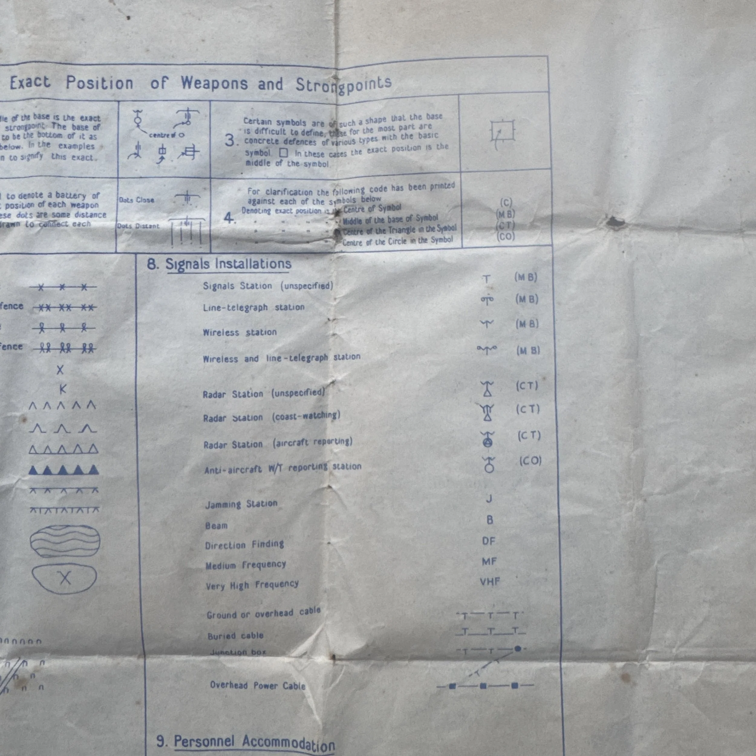
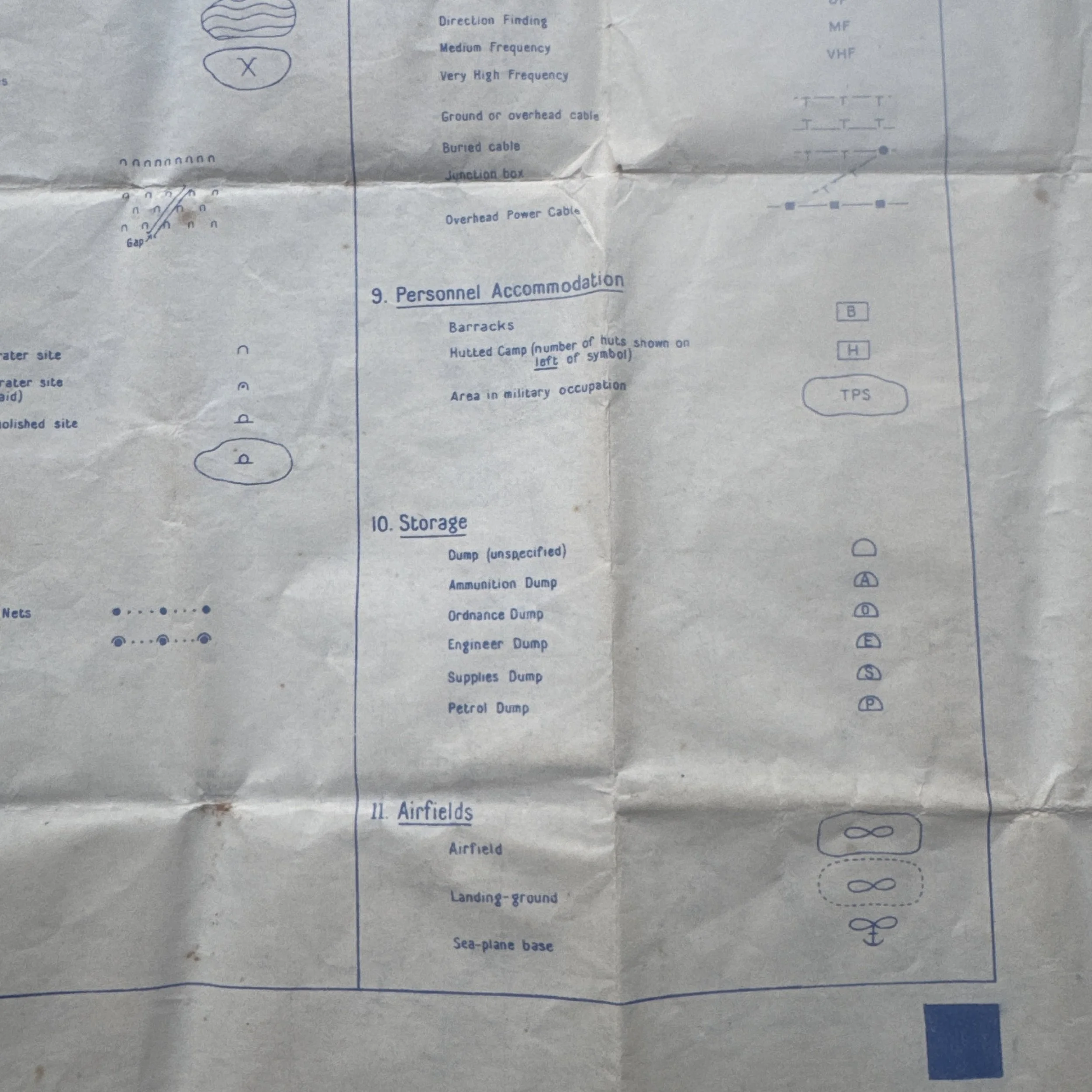
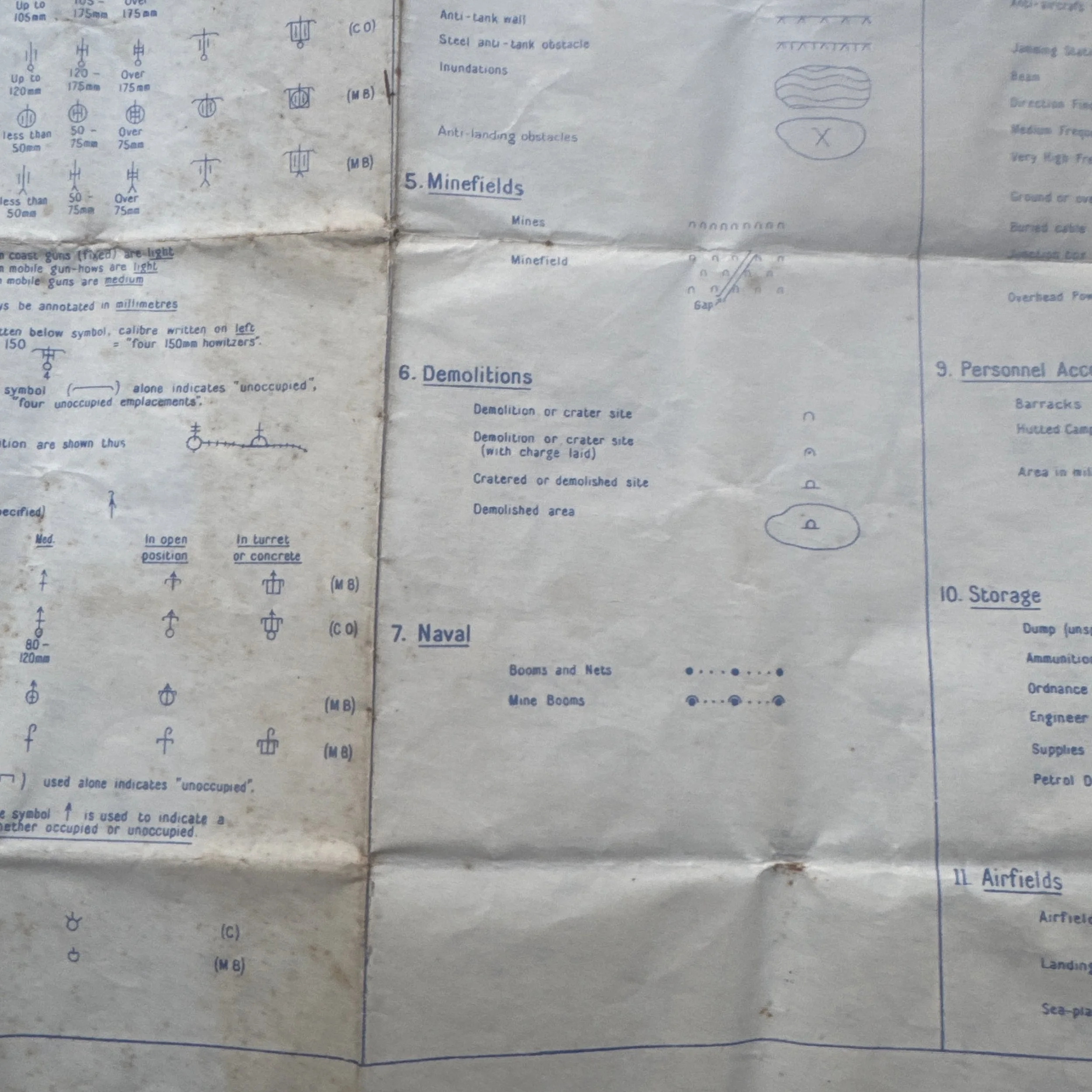
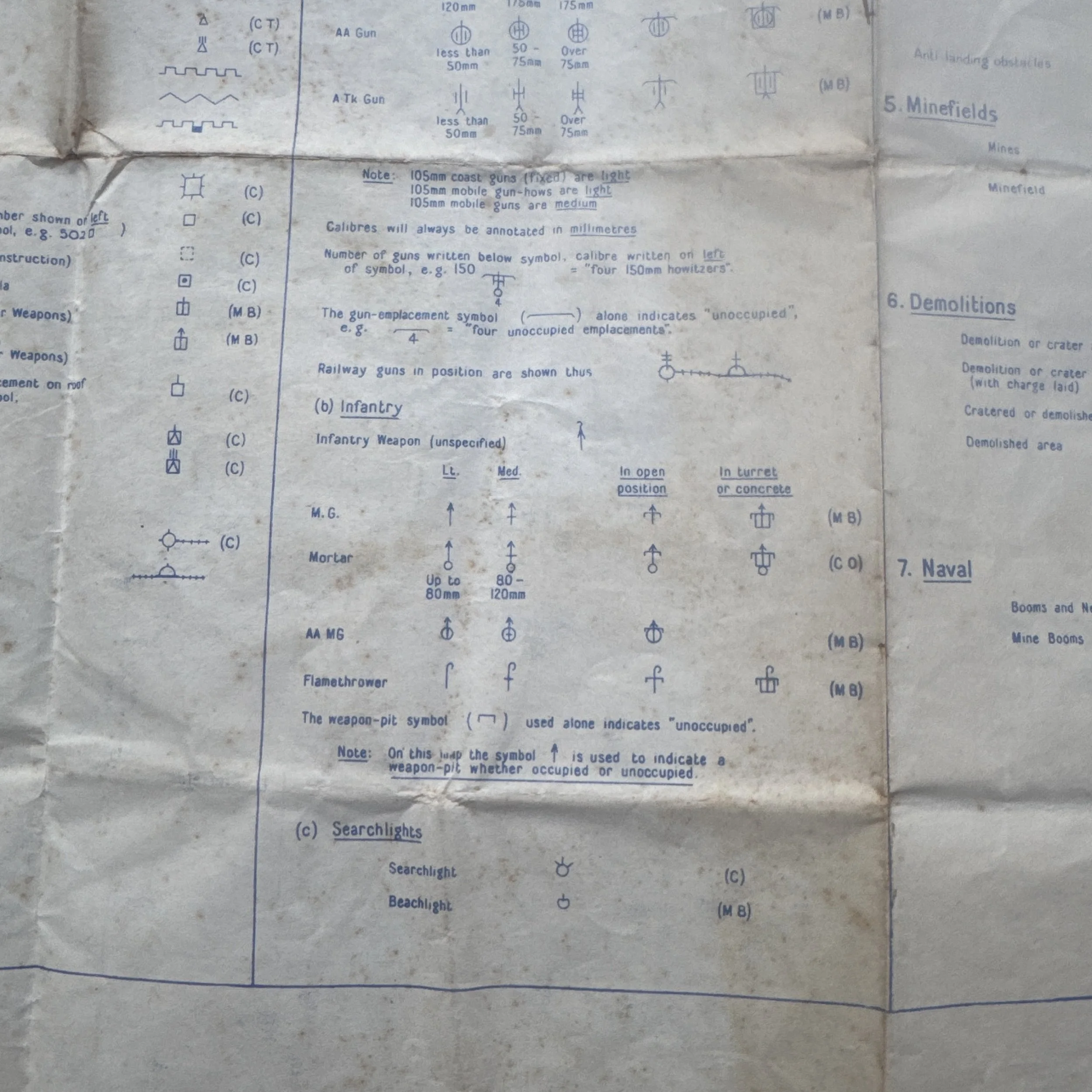
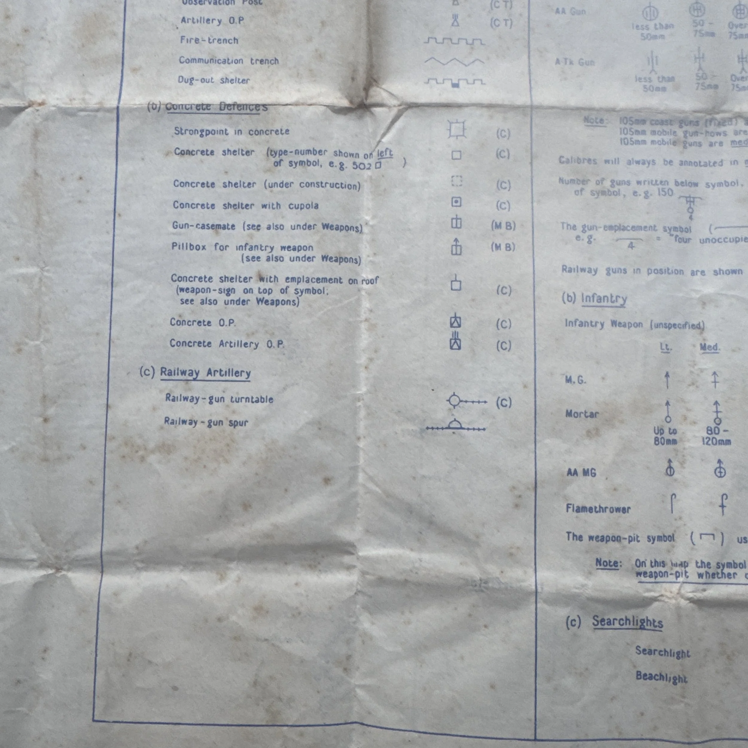
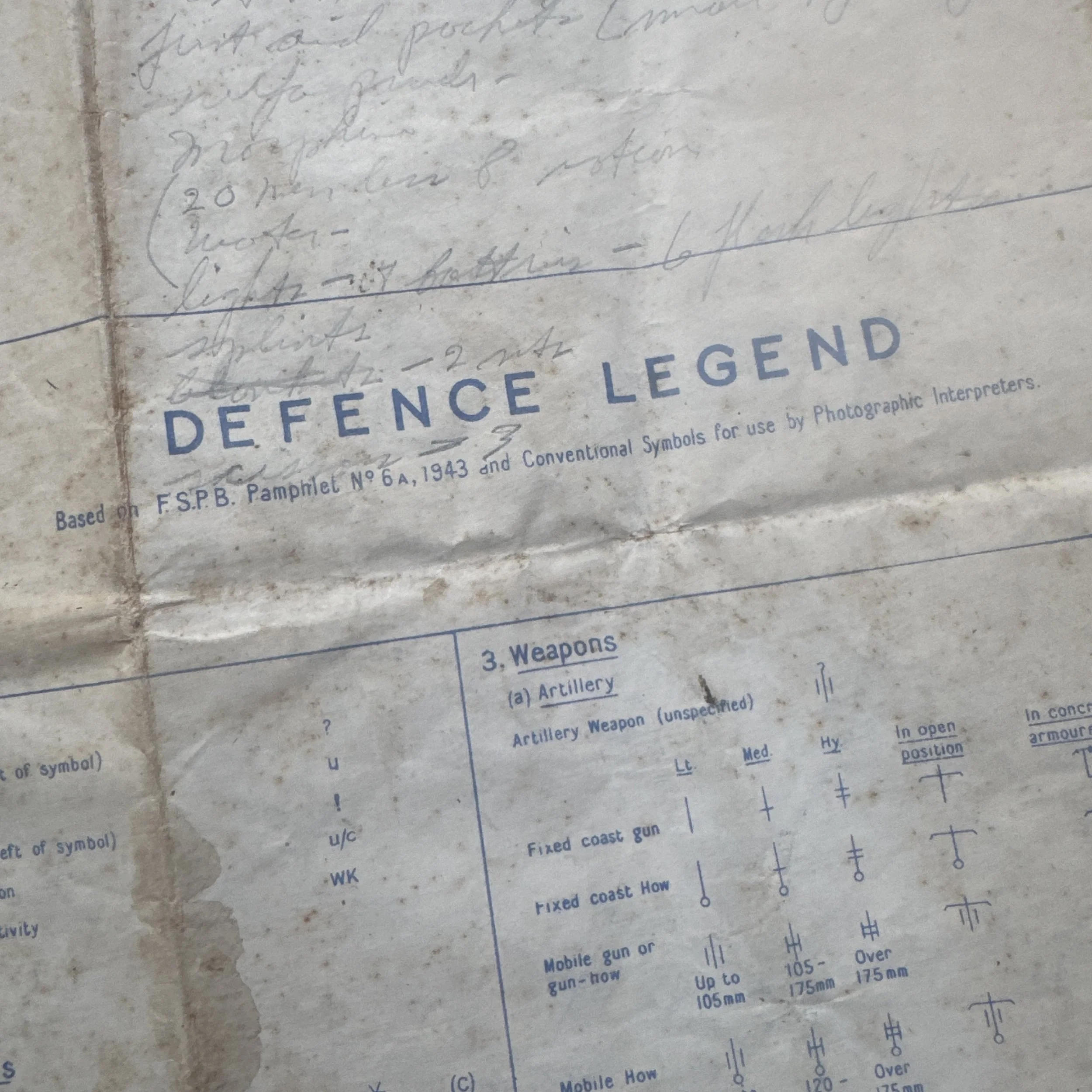
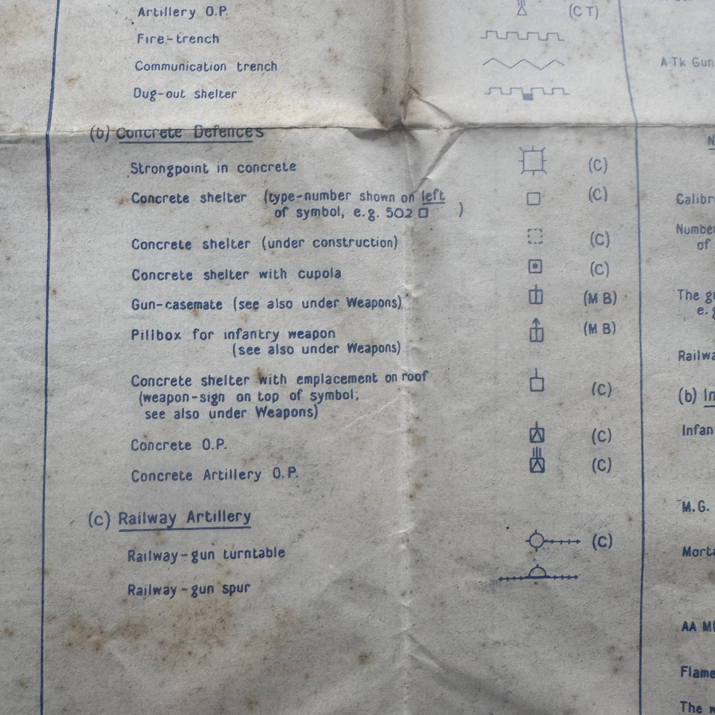
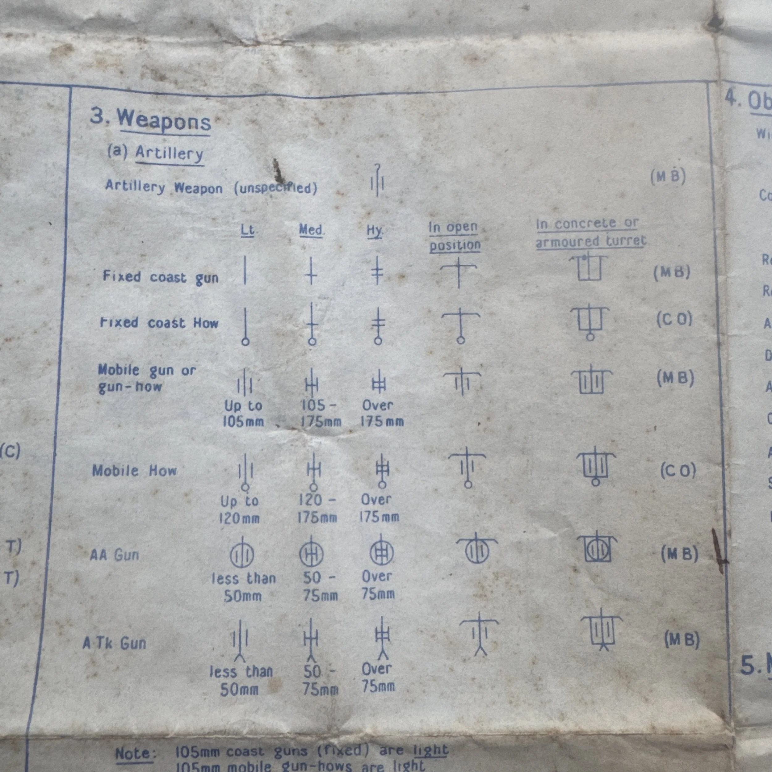
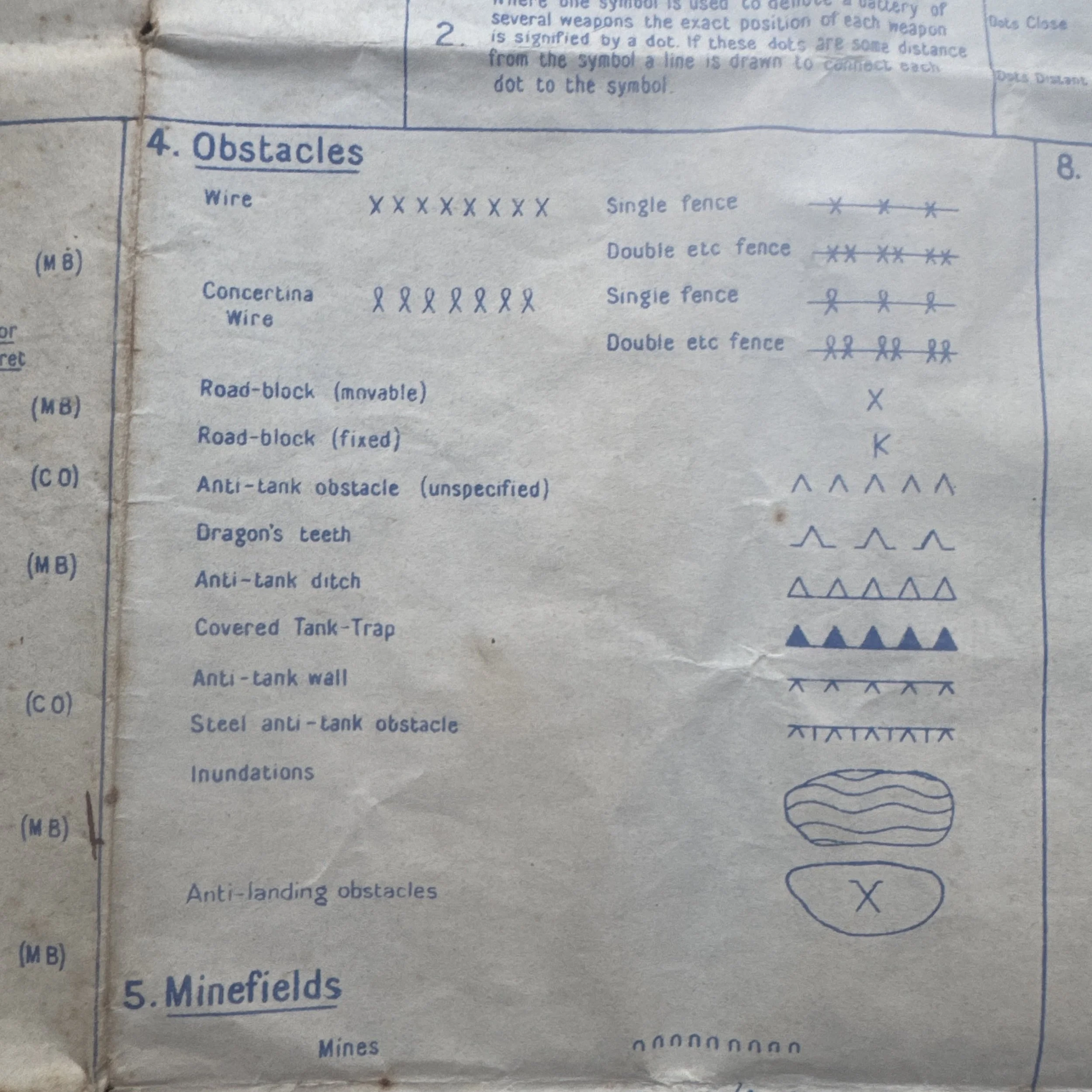
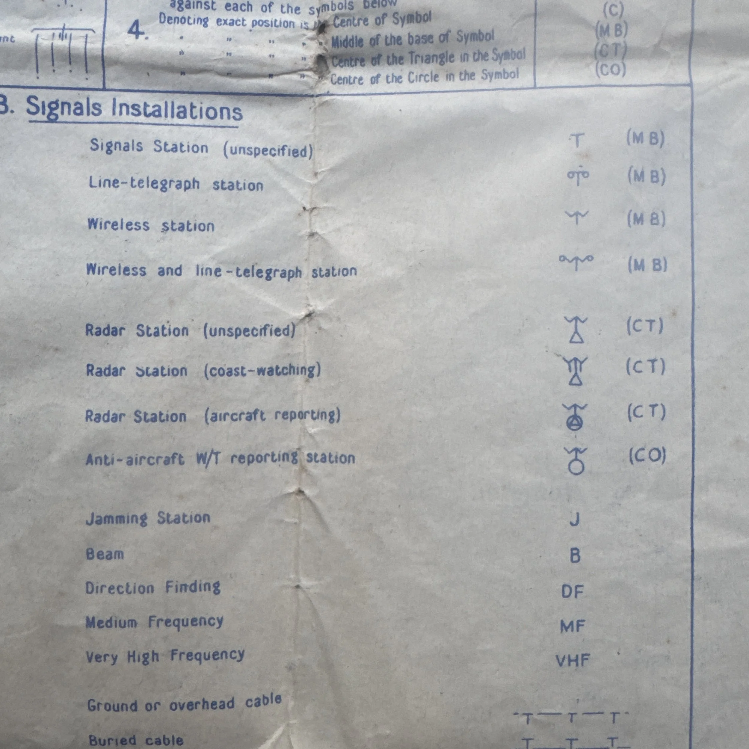
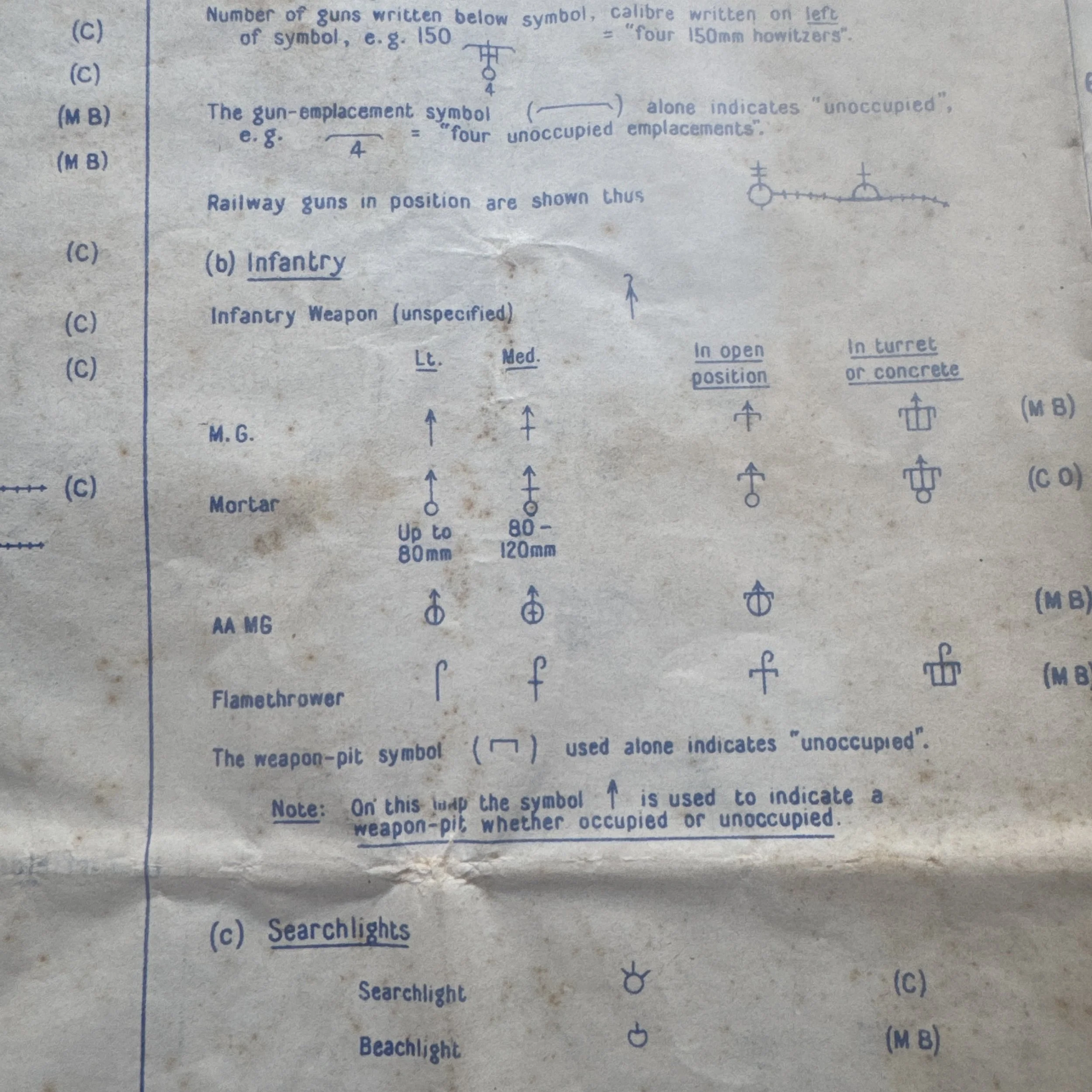
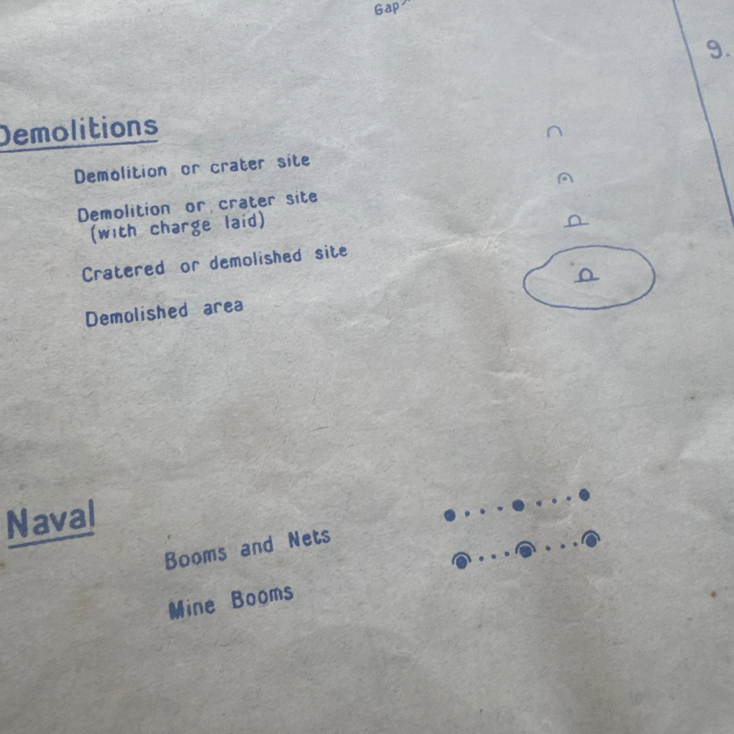
Cartographically, the map relies on a captured German Topographische Karte 1:25,000 base map translated into the Allied Nord de Guerre grid system with a Modified Lambert Conformal Projection. Rendered at a tactical scale of 1:25,000—where one centimeter represents 250 meters—the sheet provided squad leaders, artillery spotters, and armored crews with detailed terrain features, including individual field roads, elevation contours, treelines, and rural structures. Overprinted directly onto this topographic background in blue ink are enemy defense positions identified through RAF aerial reconnaissance. The legend printed on the right-hand margin correlates directly to standard Allied photographic interpretation symbols from F.S.P.B. Pamphlet No 6A (1943). These markings map German Westwall (Siegfried Line) fortifications, detailing concrete pillboxes, gun casemates, shelters with cupolas, weapon pits, fire trenches, communication trenches, observation posts, and dugouts. The overprint also identifies defensive barrier networks, including Dragon's Teeth anti-tank lines, anti-tank ditches, concertina wire, minefield belts, minefield gaps, and prepared road craters or demolition points. Tactical weapons are categorized by caliber and type, distinguishing between light anti-tank and anti-aircraft guns under 50mm up to heavy field artillery exceeding 175mm in open, camouflaged, or concrete-armored emplacements.
Handwritten Field Notes & Emergency Medical Equipment
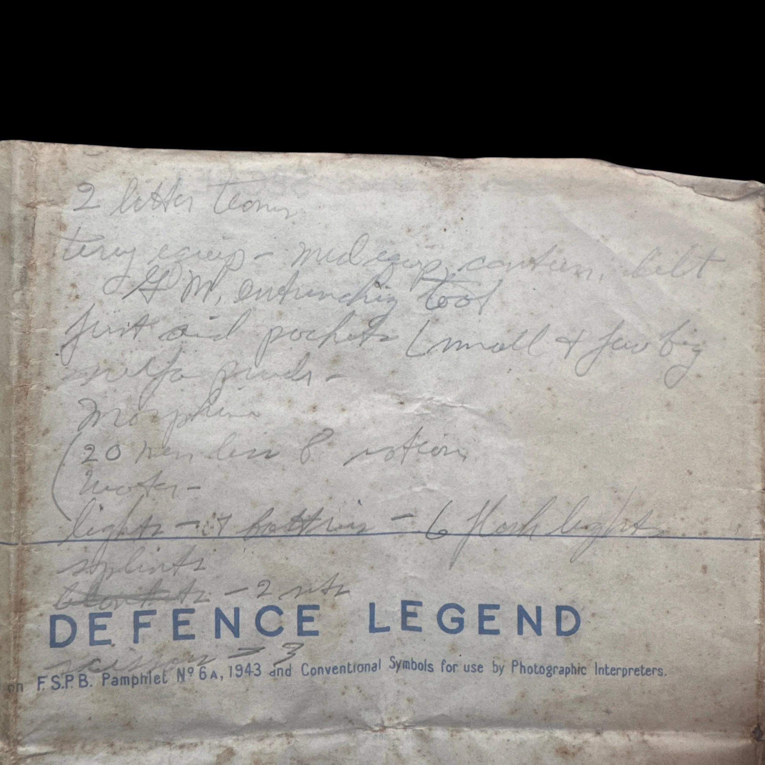
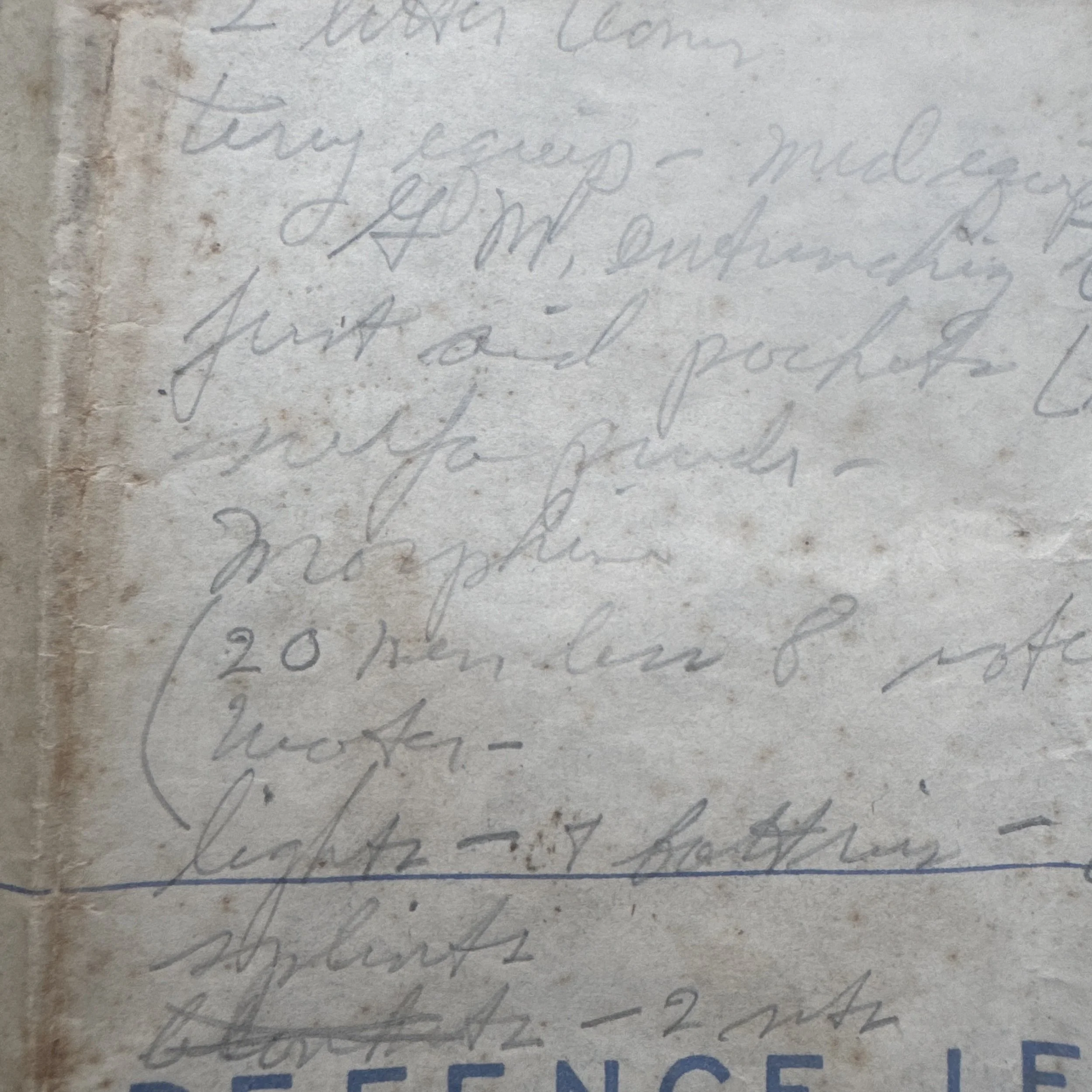
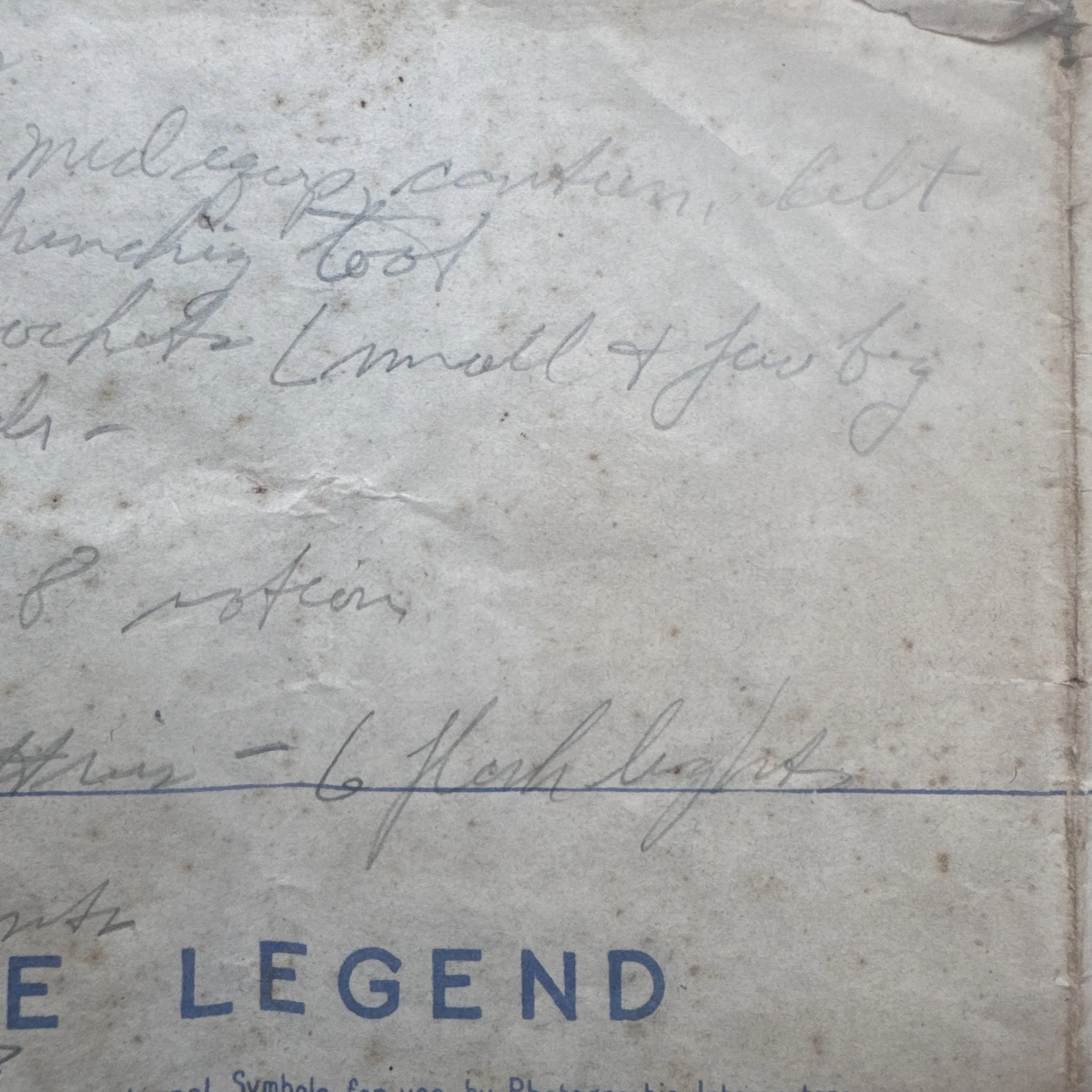
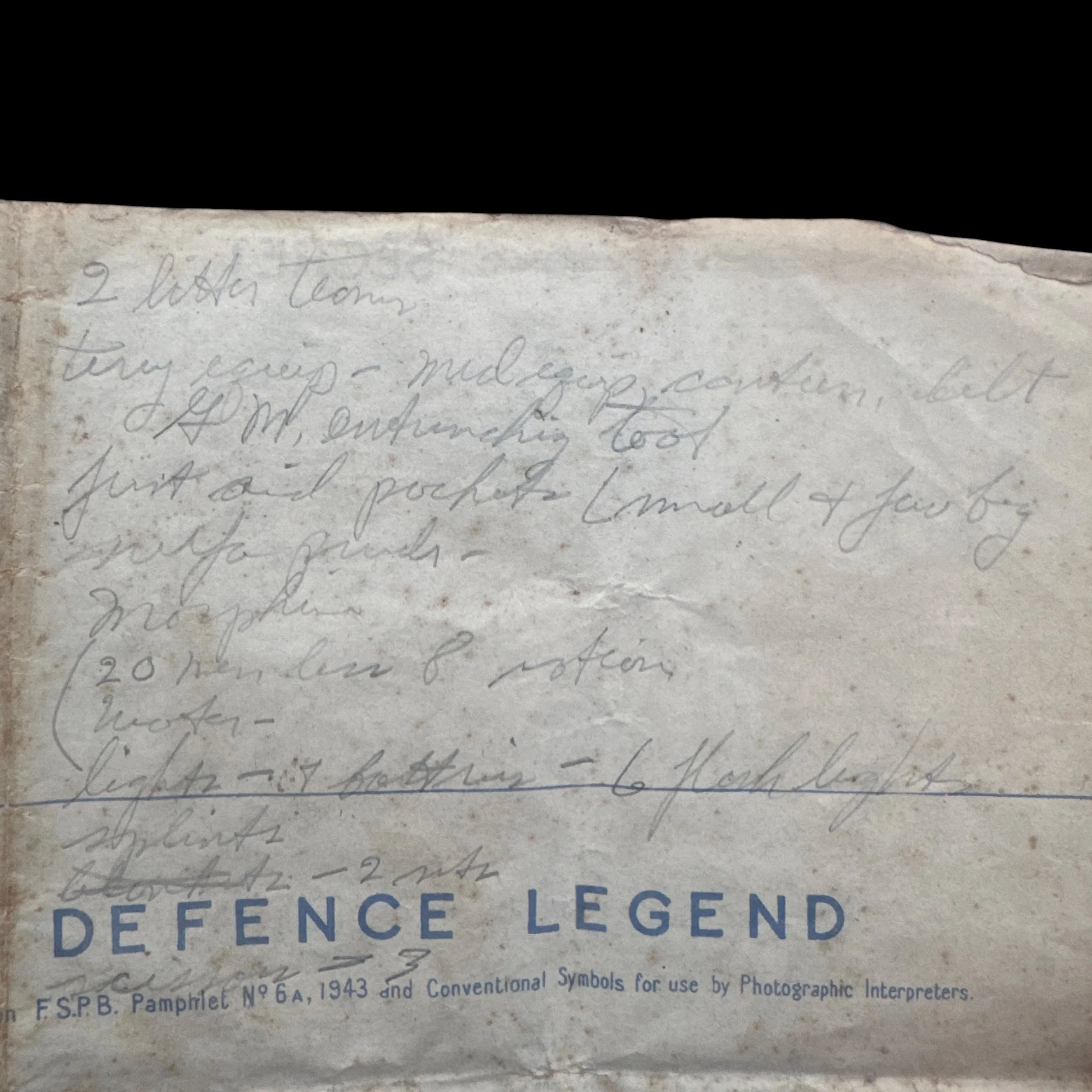
Above the printed Defence Legend in the upper-left margin, handwritten pencil notes outline an operational equipment checklist for a frontline casualty evacuation party. The writing designates "2 litter teams" and specifies personal gear including "trg equip - med equip, canteen, belt", a gas mask ("G.M."), and an entrenching tool. Trauma care inventory is explicitly detailed, listing "first aid pockets (small & few big)", "sulfa powder", "morphine", "splints", "blankets - 2 sets", and "scissors - 3". The note also records tactical details, including "(20 men in 8 section)", "water", and "lights - w/ batteries - 6 flashlights". These entries highlight combat conditions in late 1944, where litter teams required entrenching tools to dig survival trenches while treating casualties under shellfire, flashlights to clear dark concrete bunkers, sulfa powder and morphine to manage shock, and heavy scissors with blankets to treat hypothermia and cut away freezing, mud-soaked uniforms.
Historical Context & WWII Operations
The print date of November 16, 1944, directly links this document to D-Day of Operation Queen, a major Allied offensive designed to push through the Roer Valley toward the Rhine River. During this period, British XXX Corps operated on the northern flank of the U.S. Ninth Army. Between November 18 and November 23, 1944, British XXX Corps—comprising the 43rd (Wessex) Infantry Division and 8th Armoured Brigade—joined forces with the U.S. 84th Infantry Division in Operation Clipper to reduce the Geilenkirchen salient and breach the Westwall defenses heading east. Simultaneously, the terrain visible on Sheet 5003 around Puffendorf, Baesweiler, and Siersdorf saw intense armored warfare, such as the heavy tank engagements between the U.S. 2nd Armored Division and German Panzer forces. As a fortified position along the Roer River, Linnich remained a major objective until Allied forces fully secured the town in early December 1944.
Field Application & Historical Significance
This map served both strategic intelligence and immediate tactical functions during the Allied drive into Western Germany. Originally compiled by XXX Corps Intelligence (G.S.I. 30 Corps) to map German bunker lines, artillery pits, and minefields, it was distributed directly to frontline assault forces. The hand-penciled supply checklist indicates that the map was actively used in the field by an operational lead, such as a Battalion Medical Officer, Medical Section Sergeant, or Infantry Company Commander coordinating casualty extraction under fire. The document provides a primary source record that links corps-level aerial photographic analysis with the practical gear requirements of soldiers advancing across the Westwall during the winter of 1944.