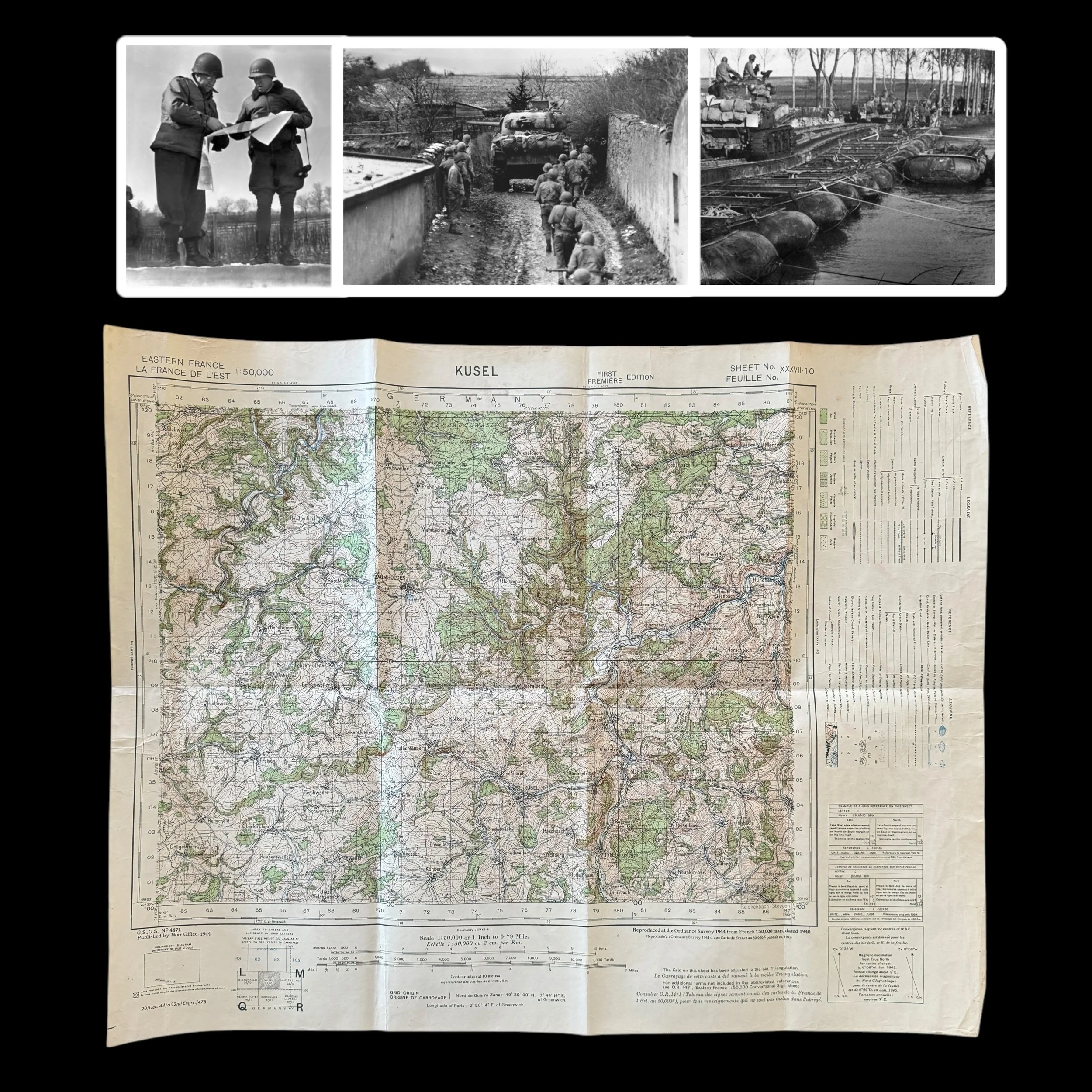
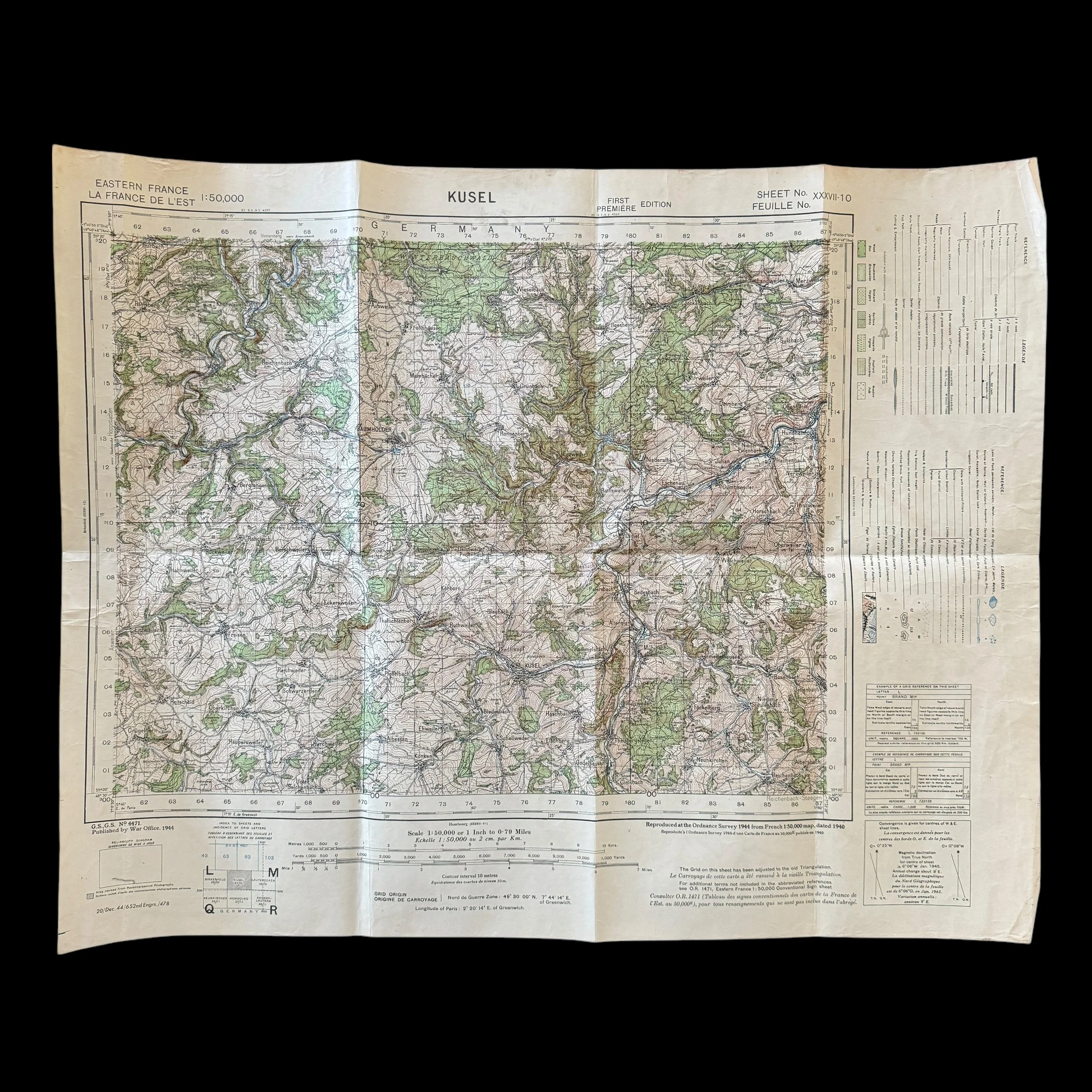
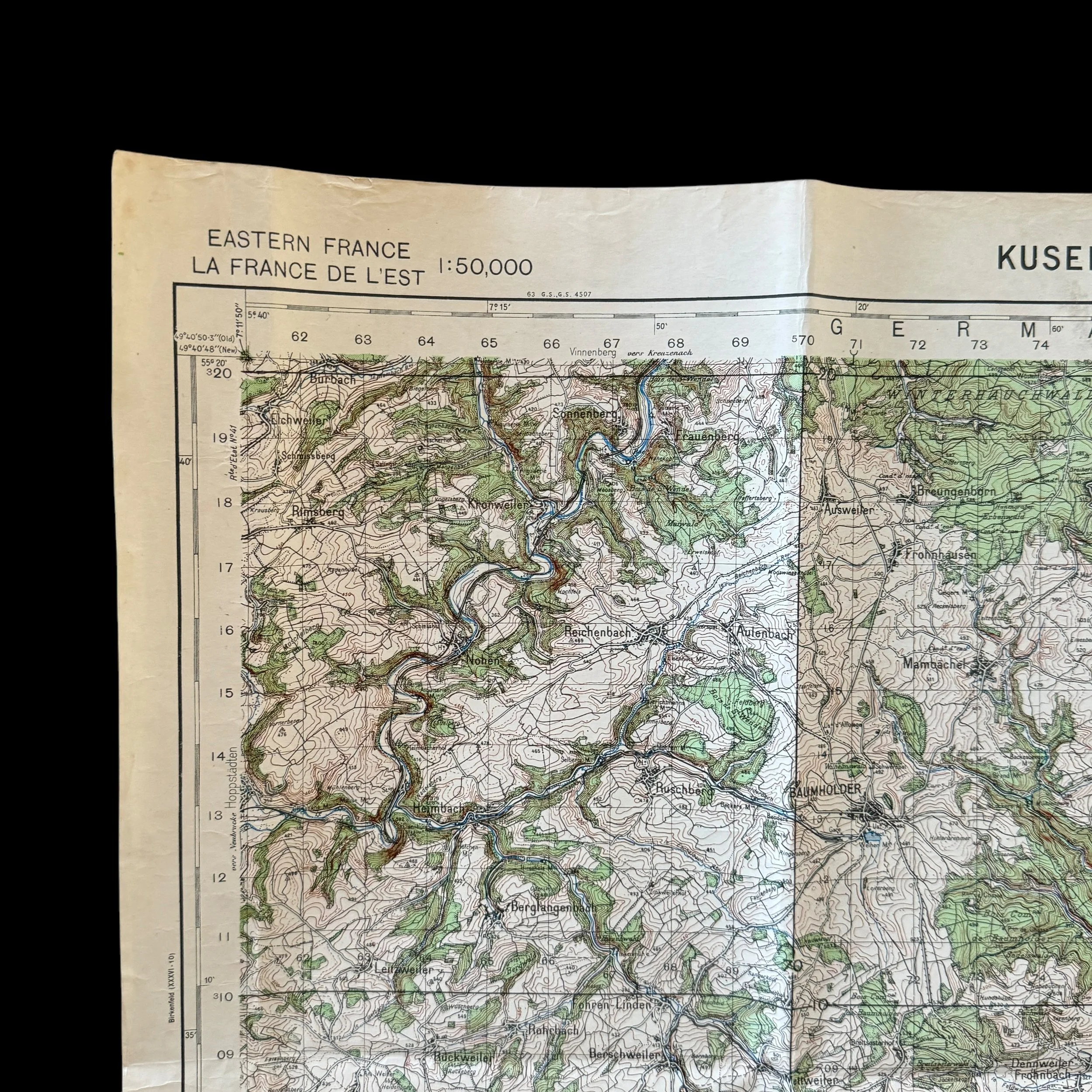
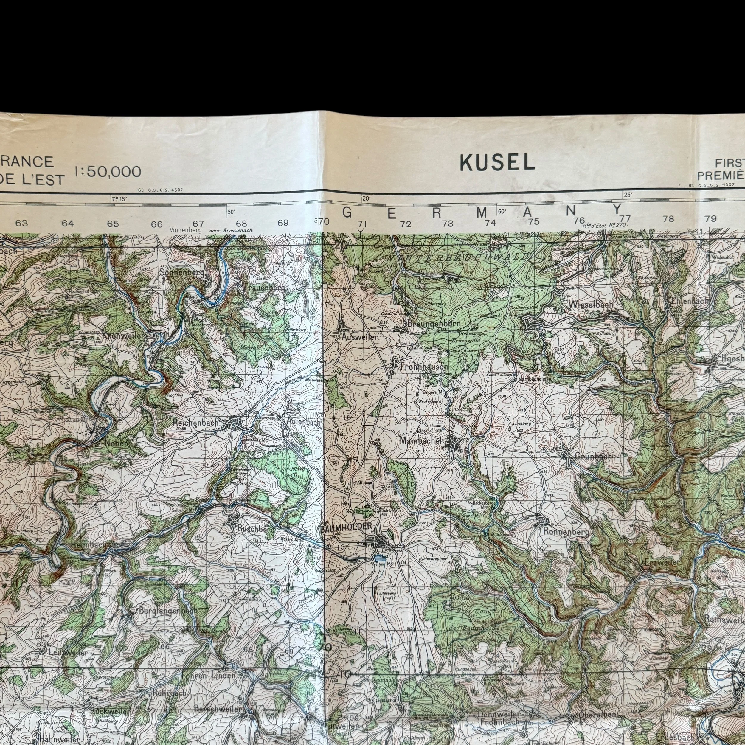
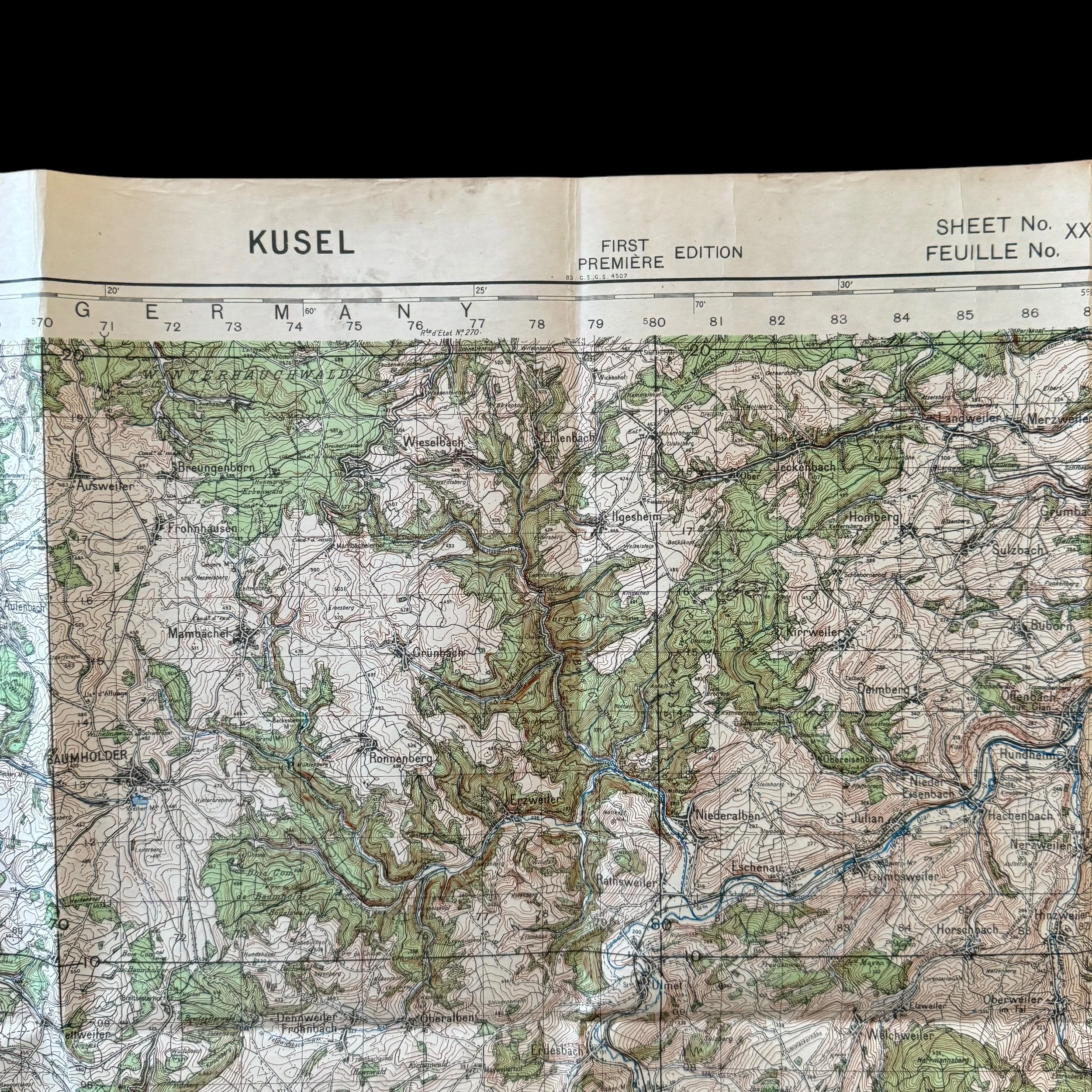
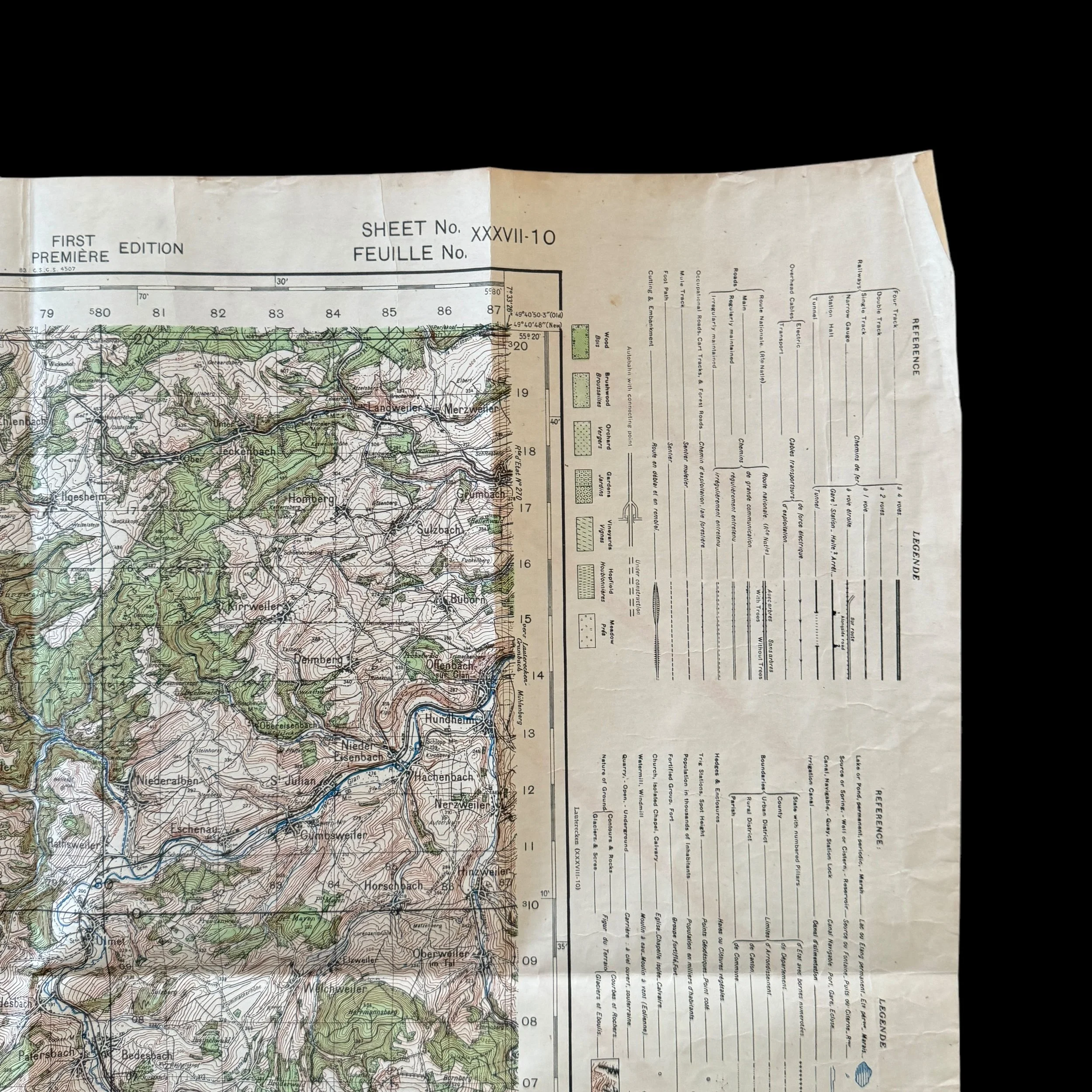
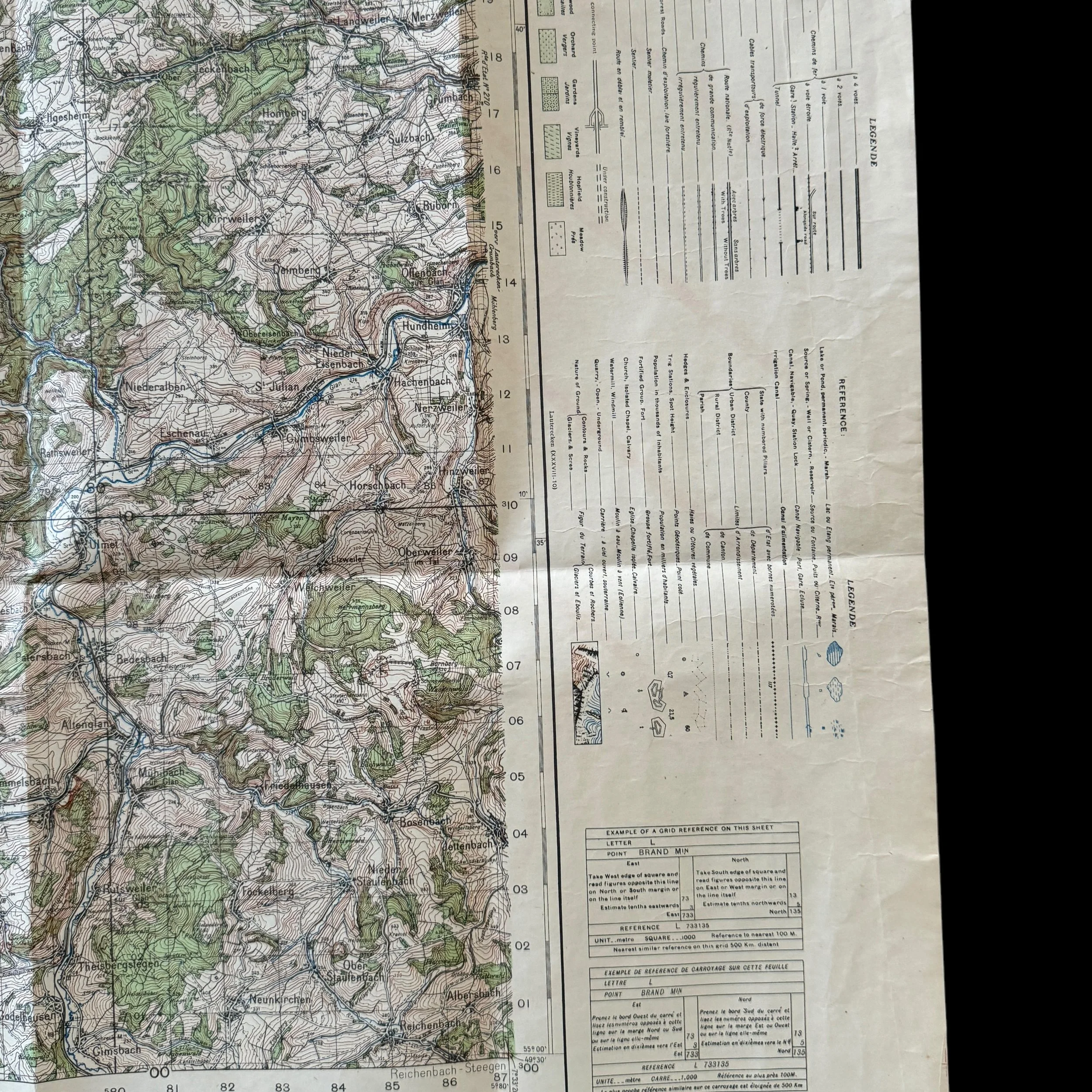
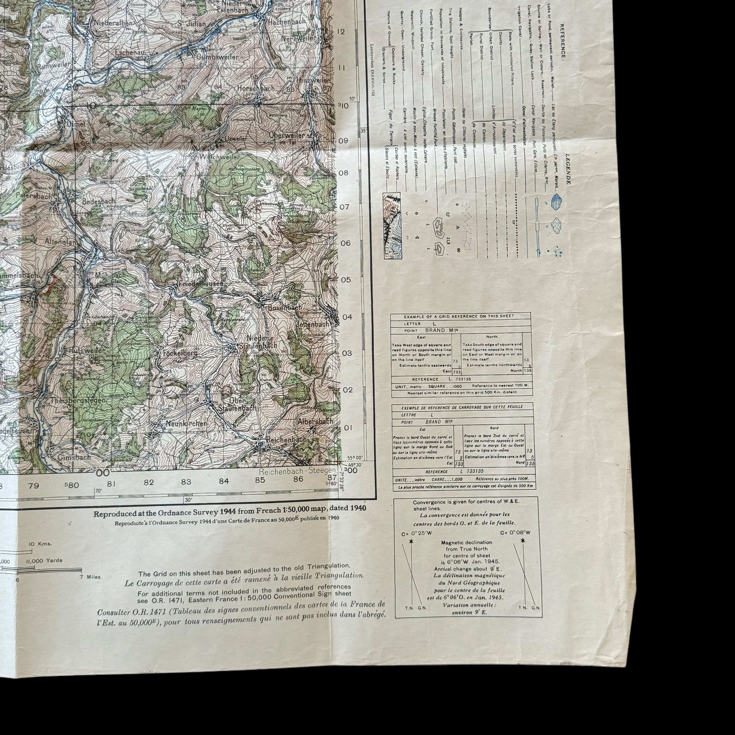
VERY RARE! WWII 1944 Lt. Gen. George Patton’s Third Army "KUSEL" Rhineland Campaign U.S. Combat Assault Map
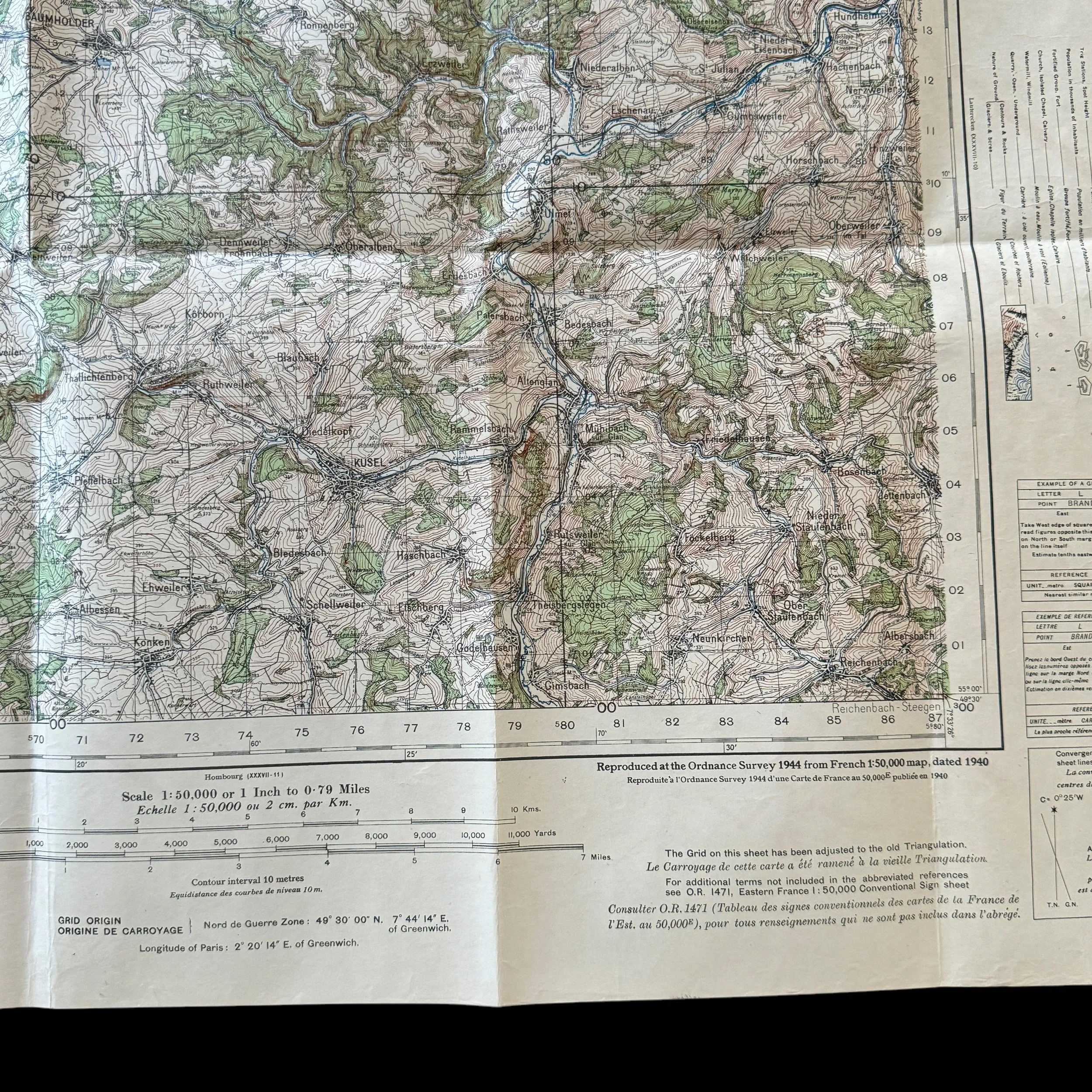
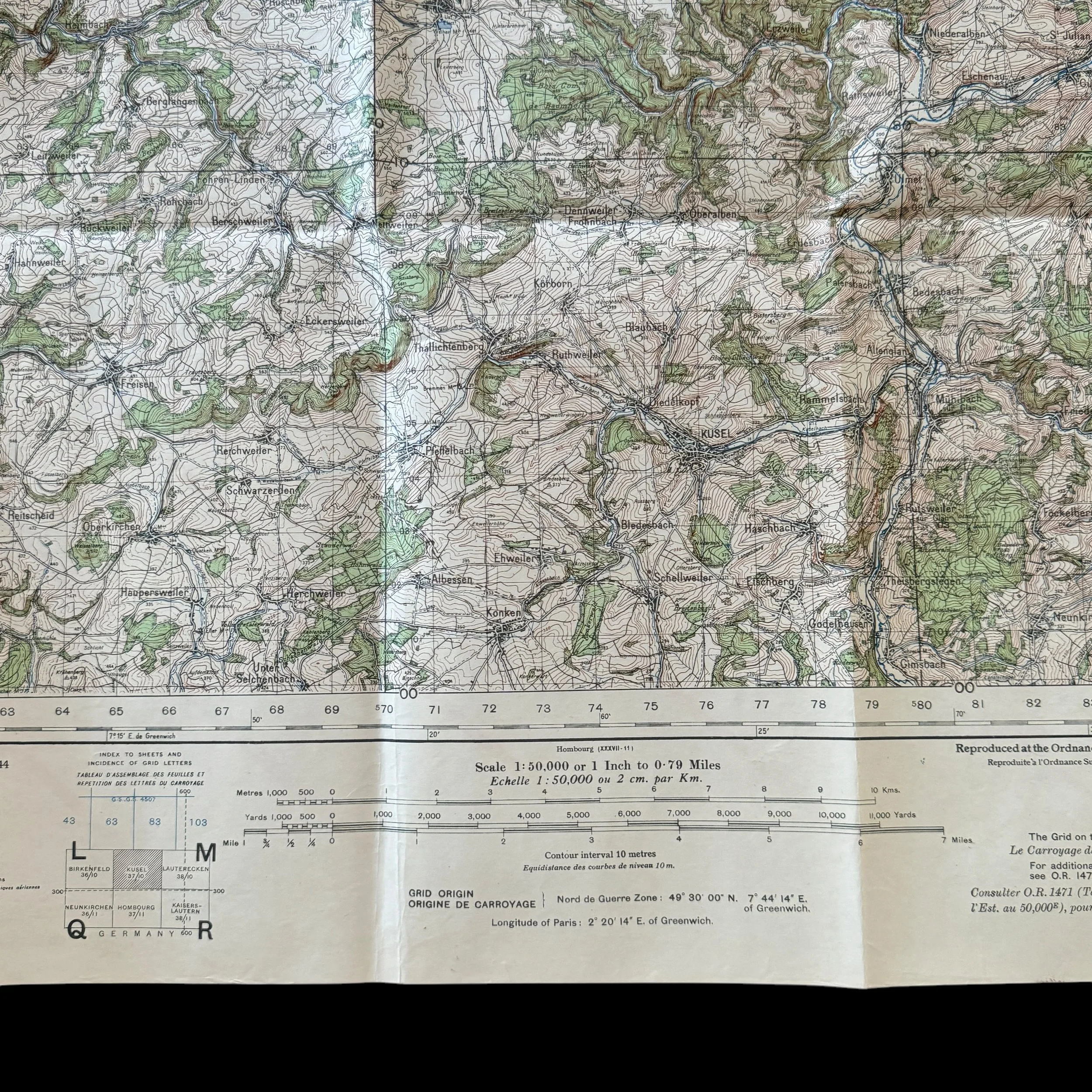
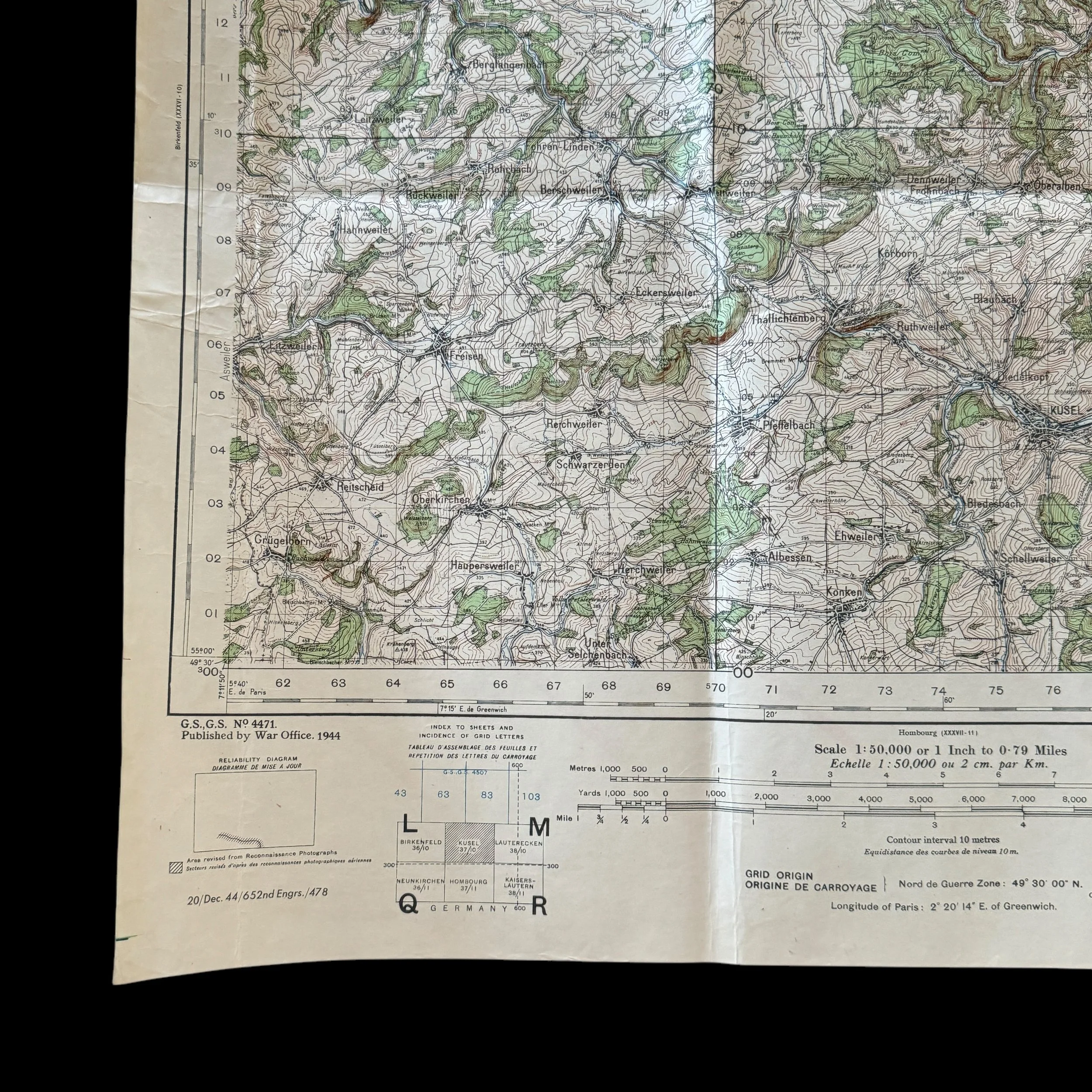
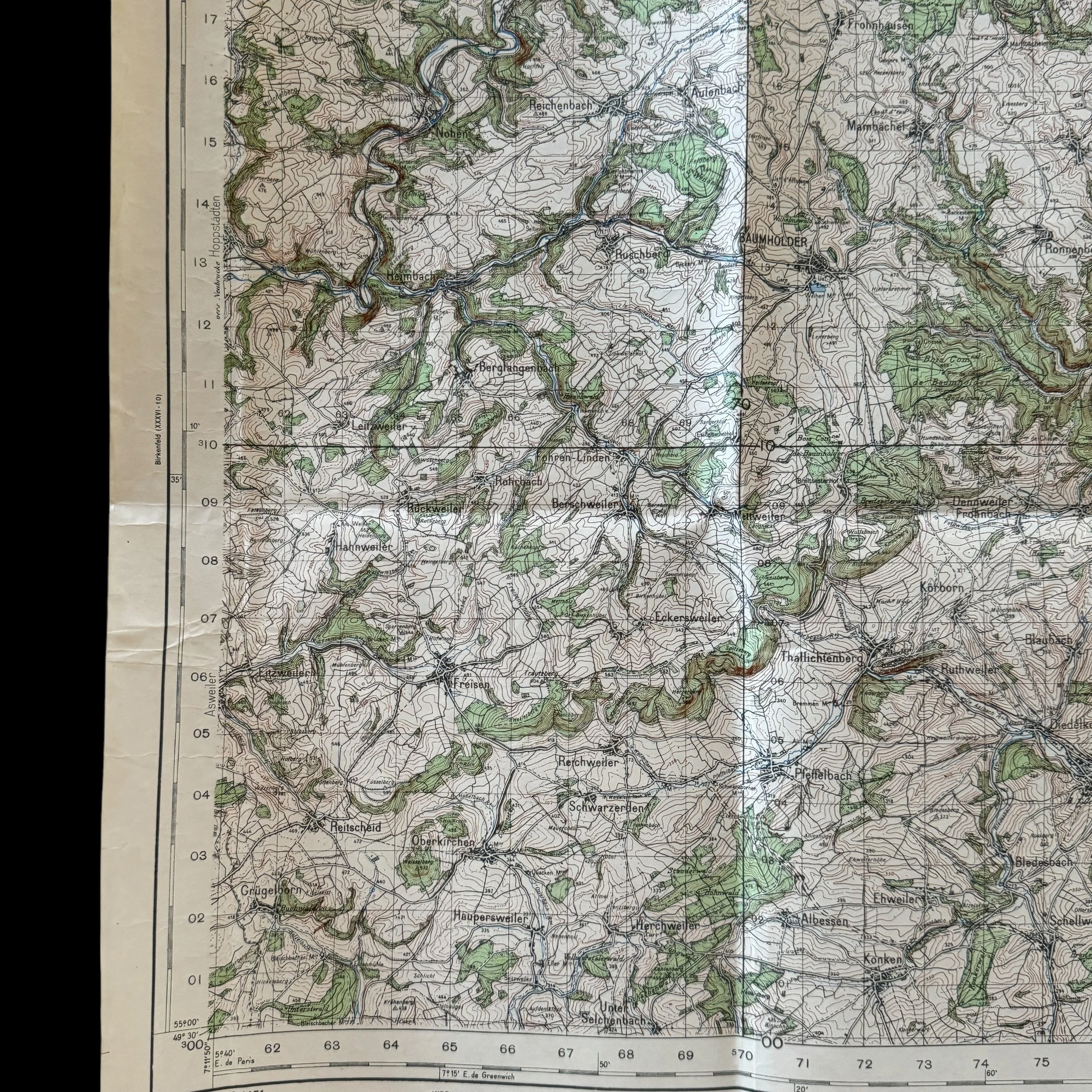
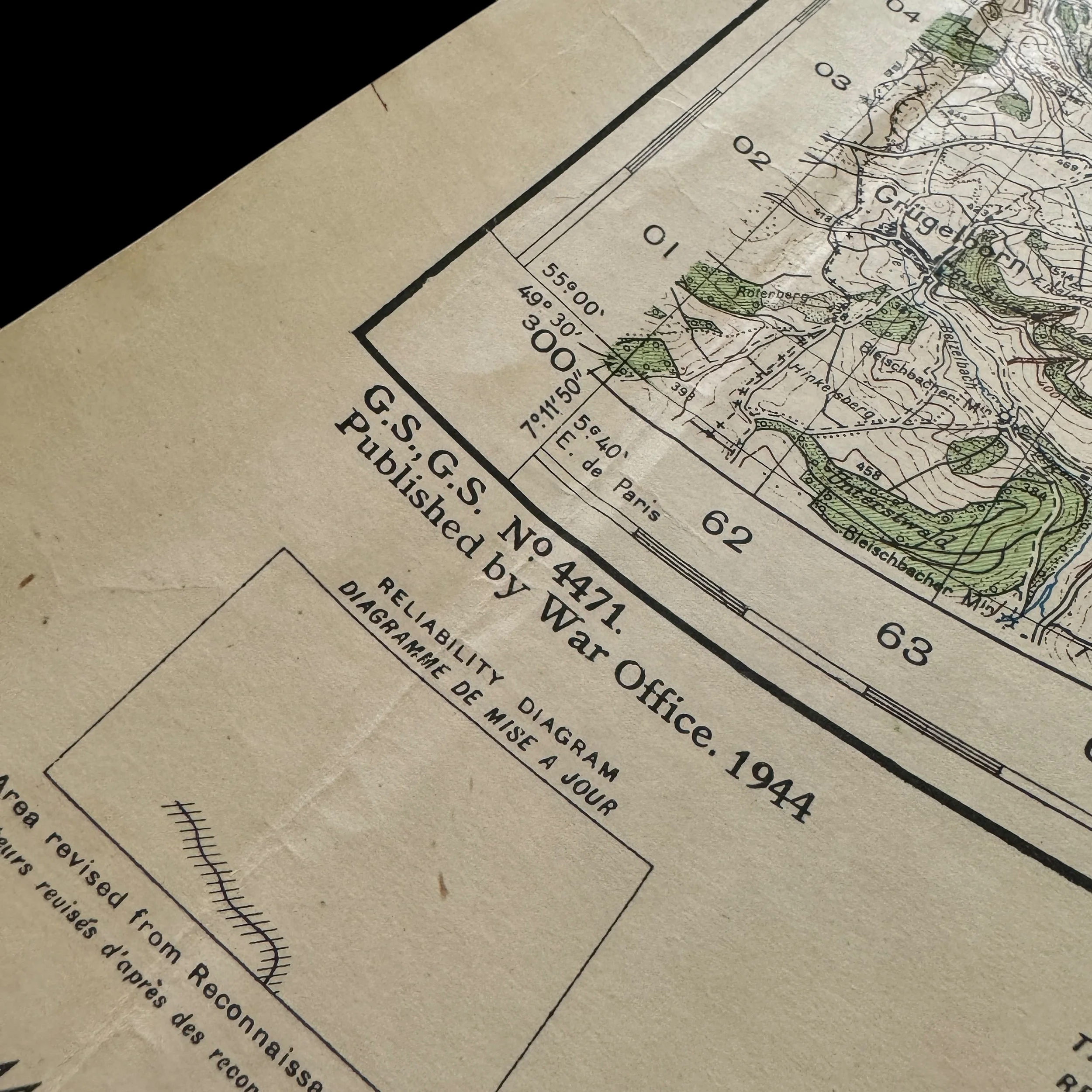


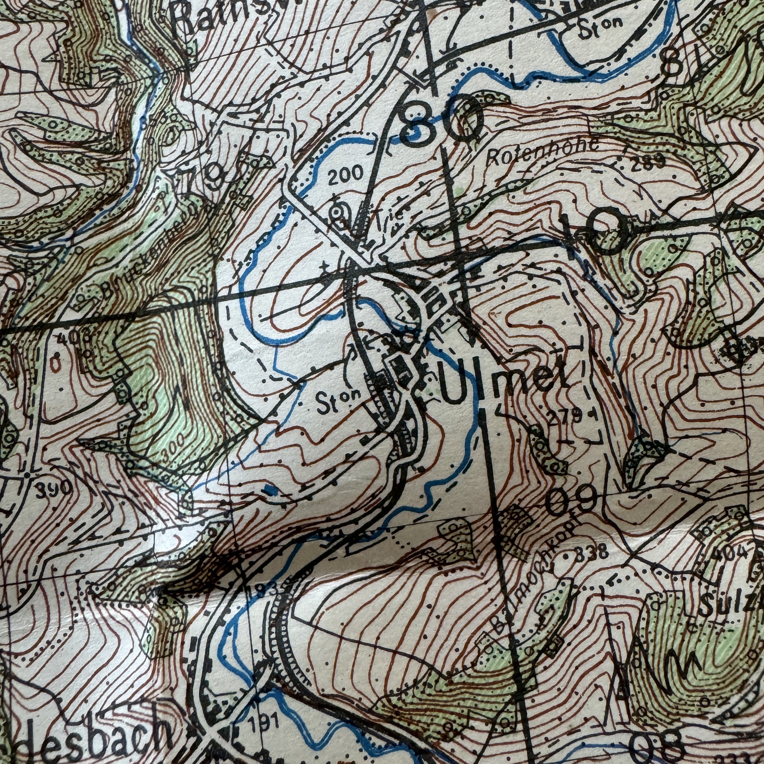


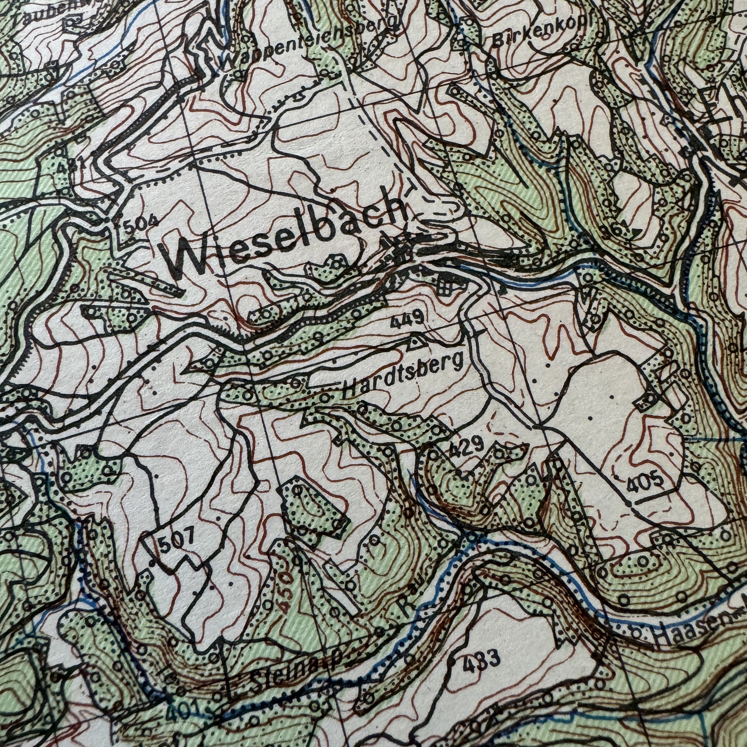


VERY RARE! WWII 1944 Lt. Gen. George Patton’s Third Army "KUSEL" Rhineland Campaign U.S. Combat Assault Map
Comes with a hand-signed C.O.A
Size: 25.5 × 28 inches
Dated: 1944
This exceptional and historically significant World War II combat map, titled “Kusel,” is a rare surviving operational map used by Lieutenant General George S. Patton’s U.S. Third Army during the final and decisive phase of the Rhineland Campaign. Spanning from the fall of 1944 through March 1945, this map played an active role in guiding the movement of American infantry and armored units as they fought their way across western Germany and toward the Rhine River.
This combat map is especially unique in that it is double-sided, featuring a striking red stamp that reads "VOID SEE OTHER SIDE" across the face of a previously used map titled GLAN-MUNCHWEILER. This kind of repurposing was not uncommon during World War II, particularly in fast-moving campaigns like the U.S. Third Army's advance through the European Theater.
As Patton’s forces pushed relentlessly eastward toward the German frontier, logistics and supply lines were constantly under pressure. To conserve critical resources—especially paper—military field units often printed new combat maps on the reverse side of older ones that had been voided. These field-voided documents served an urgent tactical need while reflecting the improvisational ingenuity of frontline operations.
The presence of both the void markings and the original overprinted content makes this piece an extraordinary example of wartime resourcefulness. It is more than a combat tool—it is a snapshot of the pressures, pace, and adaptability of the U.S. Army during one of the most dynamic phases of the war. Double-sided operational maps like this were printed in limited numbers and were meant for temporary field use, which makes surviving examples extremely rare today.
Following the breakout from Normandy and the liberation of France, the Allied advance encountered fierce German resistance at the borders of the Reich. Among the forces leading the charge, Patton’s Third Army pushed into the heavily fortified regions of Saarland and the Palatinate, determined to drive the enemy back across the Rhine and into central Germany. It was during this pivotal stage of the campaign that maps like “Kusel” were issued to officers planning daily combat operations, troop movements, and logistical coordination.
The Kusel sector was strategically positioned at the southern edge of Patton’s operational zone and the northern edge of the U.S. Seventh Army’s. Located in rugged terrain, this area saw intense fighting as the Third Army, supported by XII and XX Corps, worked to clear remaining German strongholds following the failure of Hitler’s Ardennes Offensive.
Winter 1944 into early 1945 marked a turning point. After successfully countering the German assault during the Battle of the Bulge, Patton's troops rapidly pivoted back toward the east. By March, as part of Operation Undertone, the U.S. Third and Seventh Armies launched a joint offensive into southwestern Germany. Kusel, a small but strategically important town, lay directly in their path. Its liberation marked a key victory, opening up roads and supply lines for the final push to the Rhine.