WWII 1944 British Invasion of Germany Infantry & Armored Division Combat Map


WWII 1944 British Invasion of Germany Infantry & Armored Division Combat Map
Comes with C.O.A.
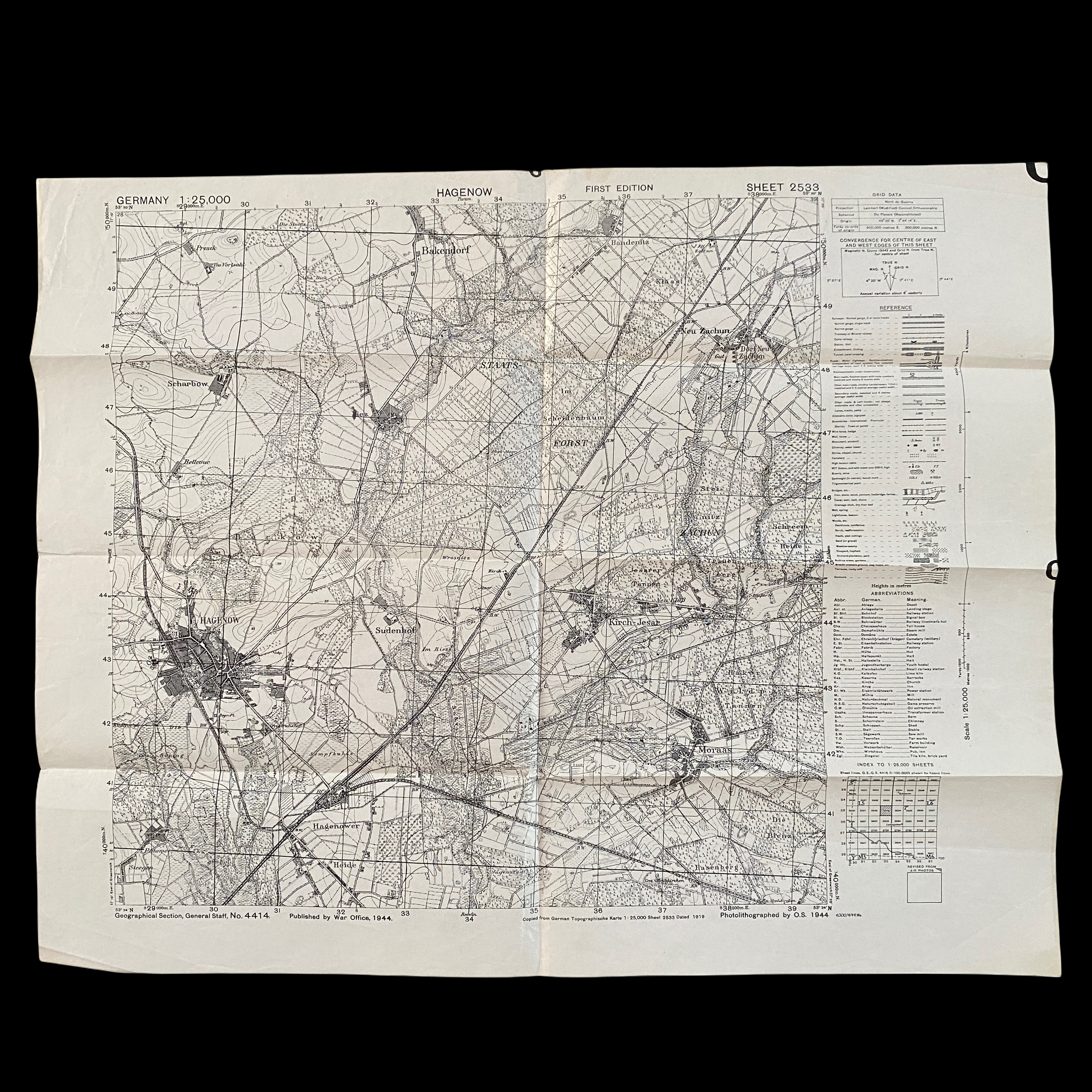
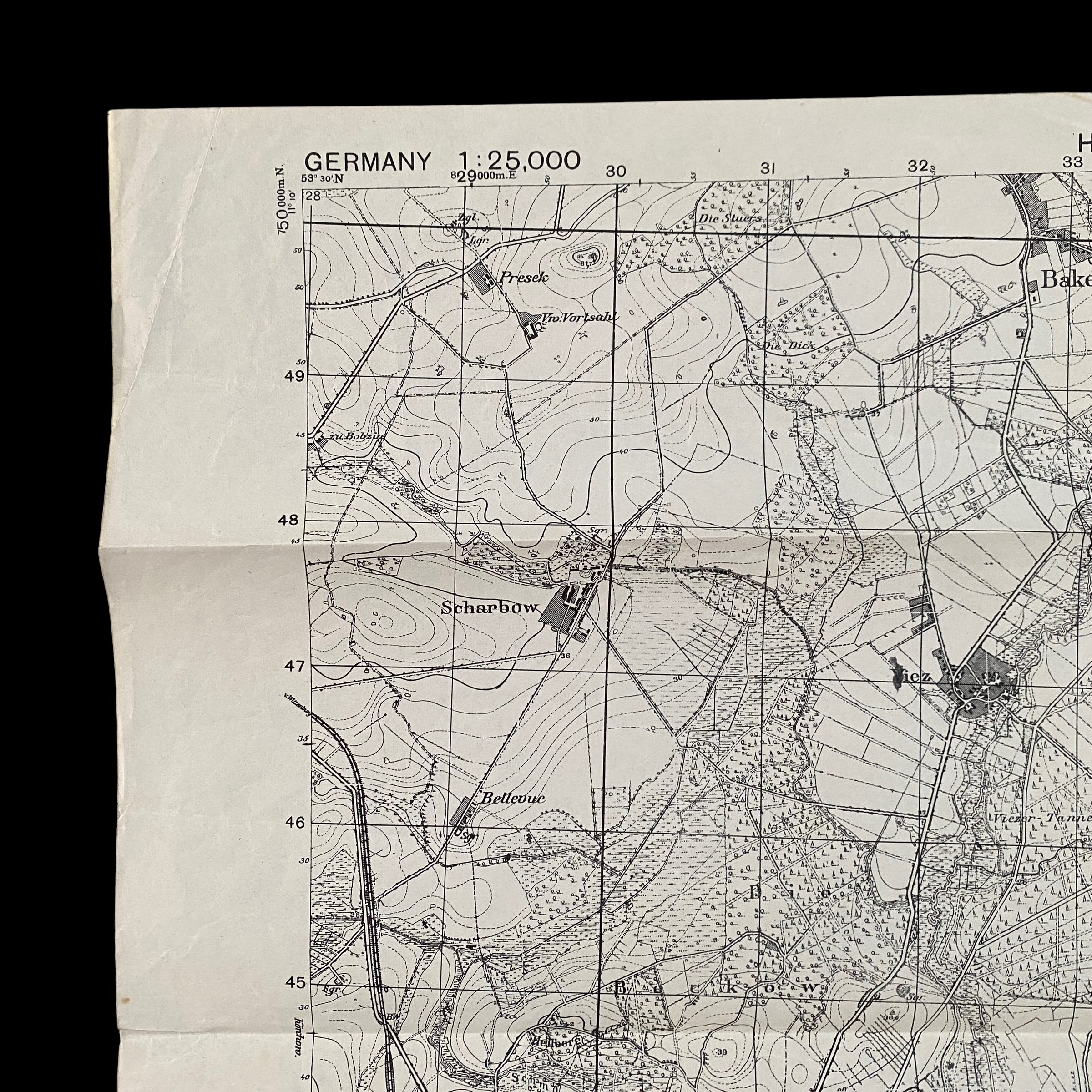
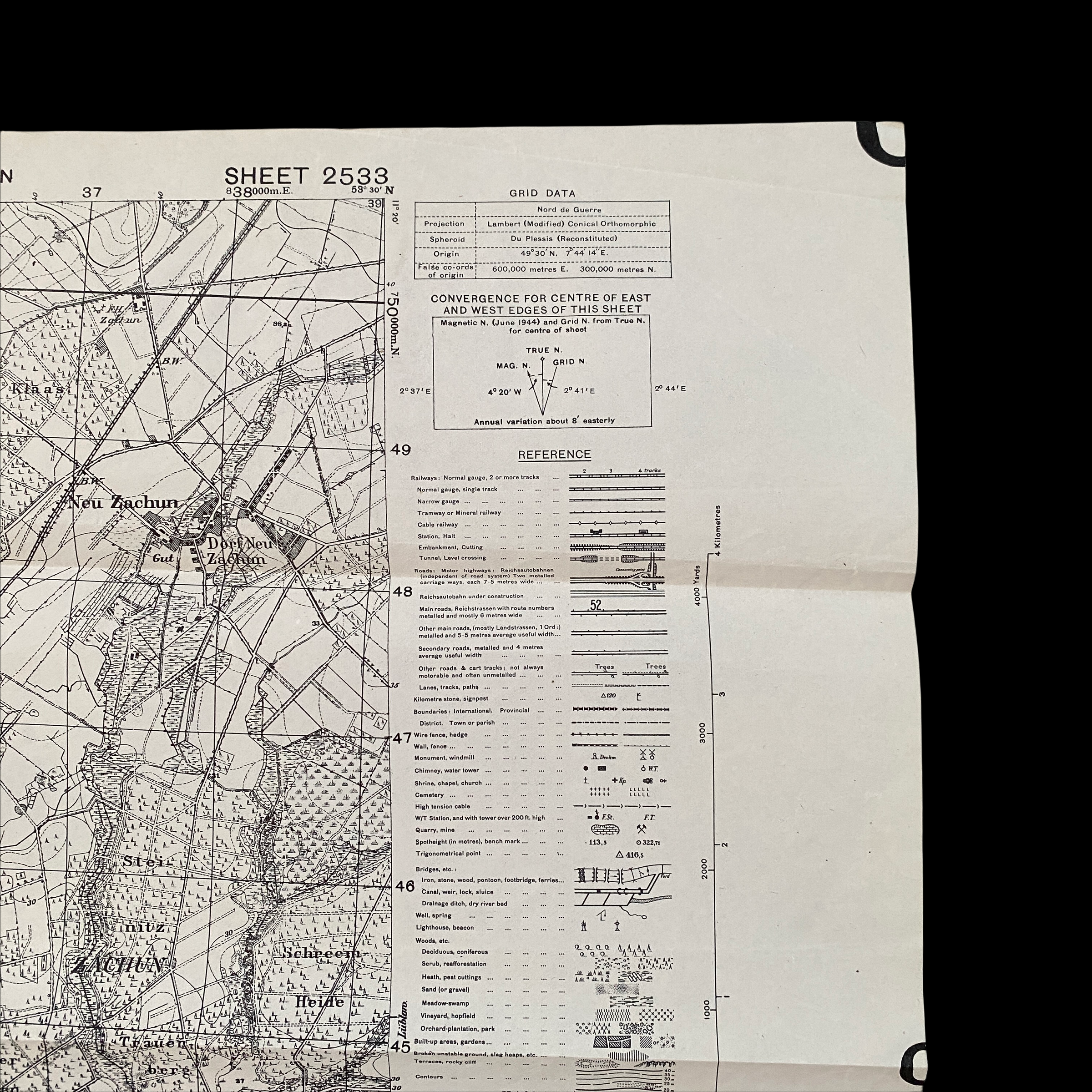
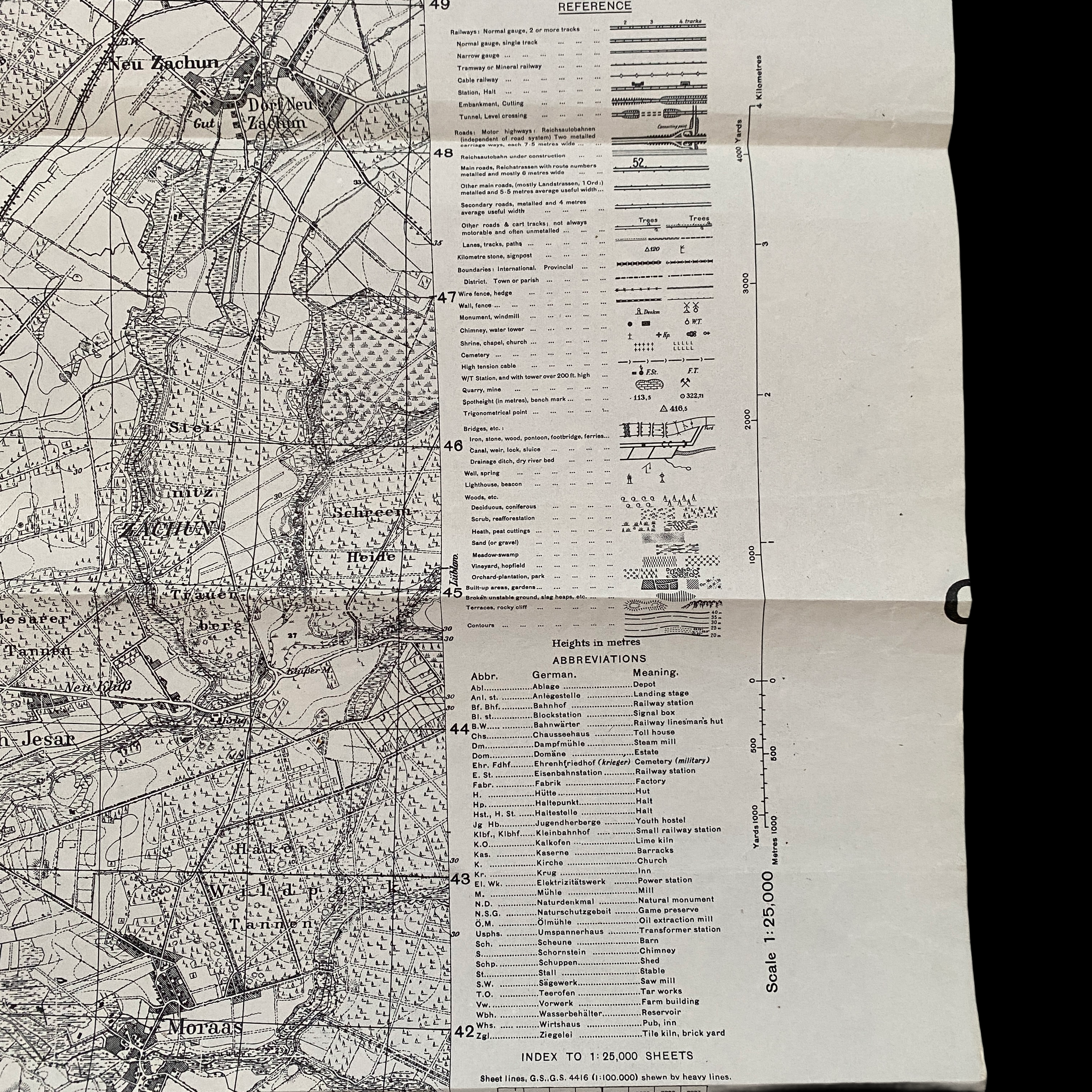
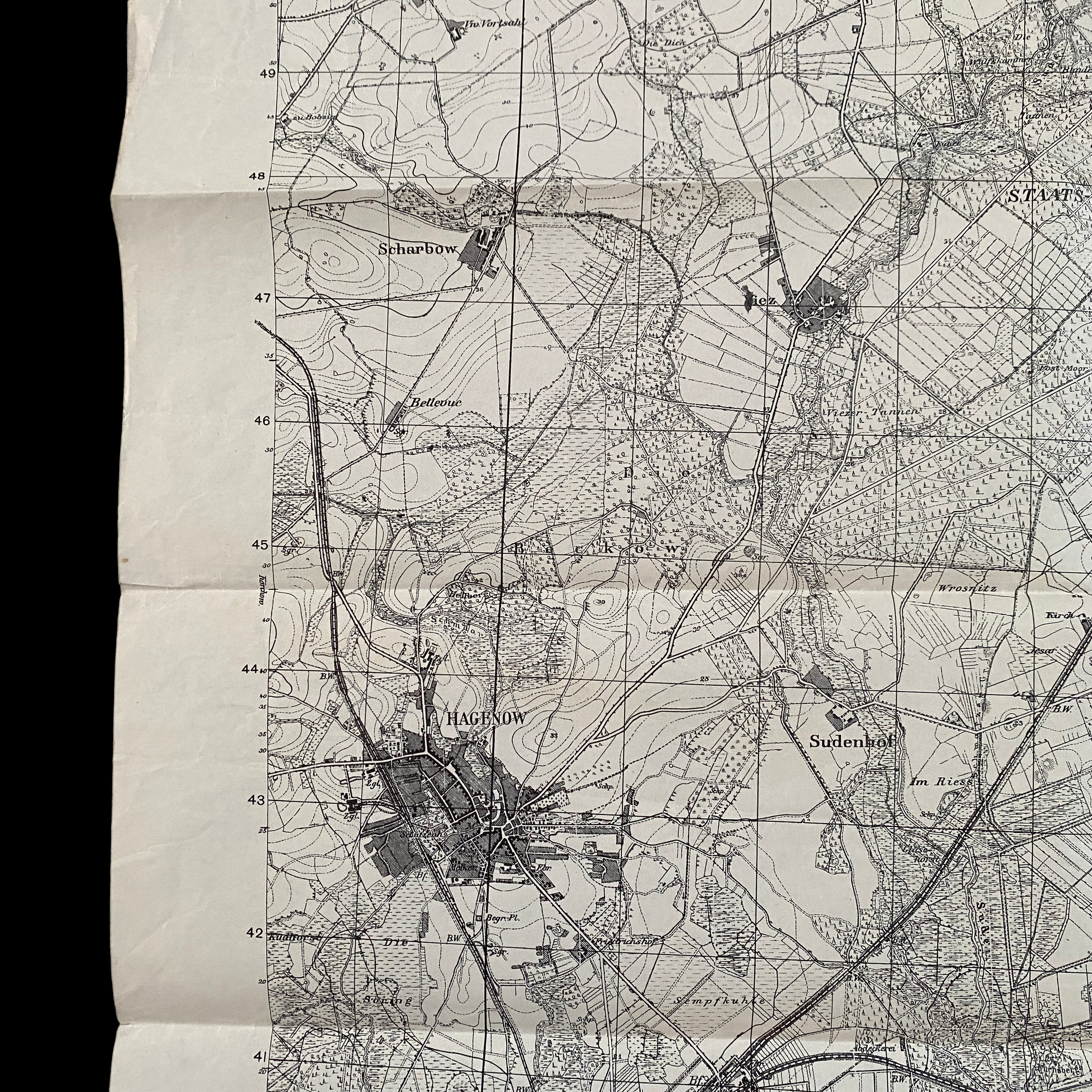
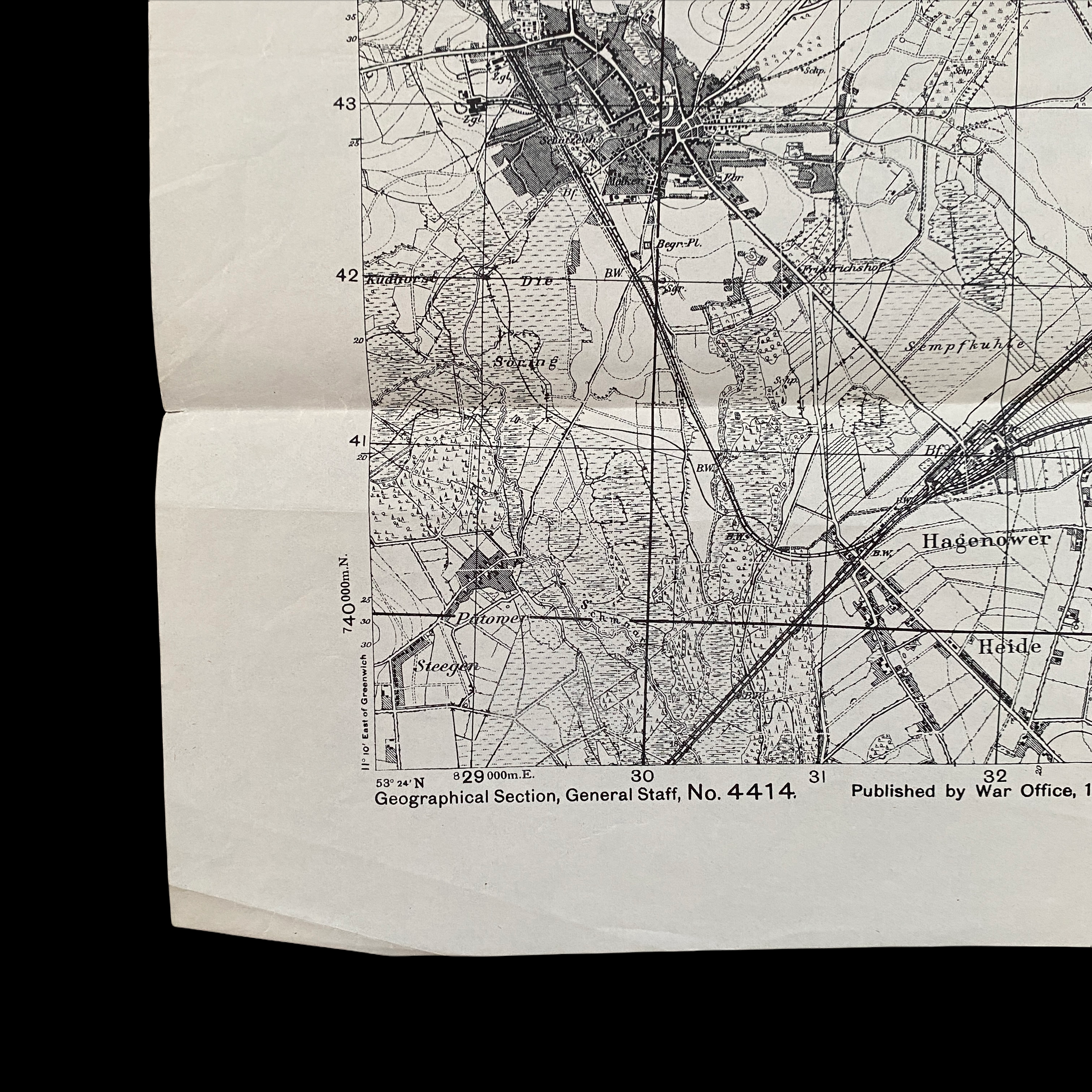
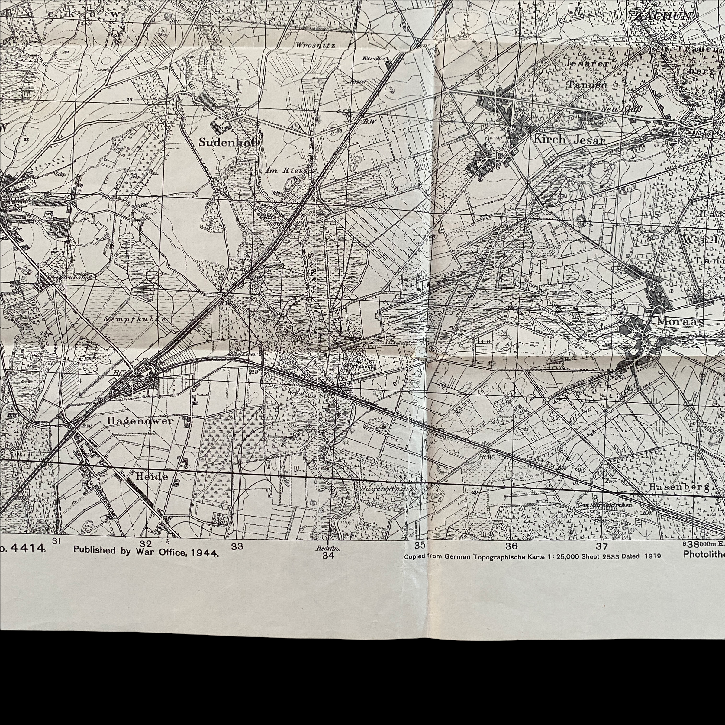
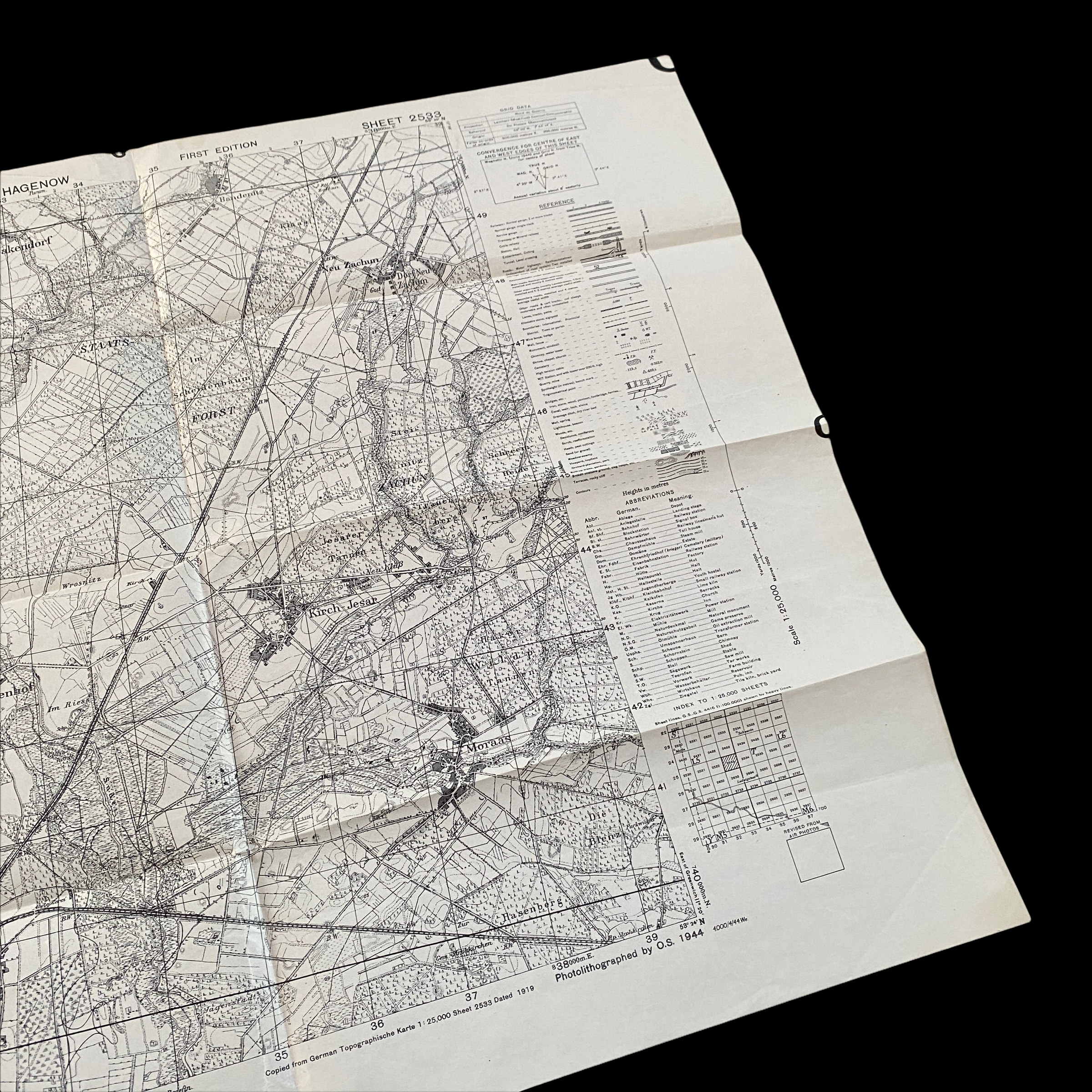
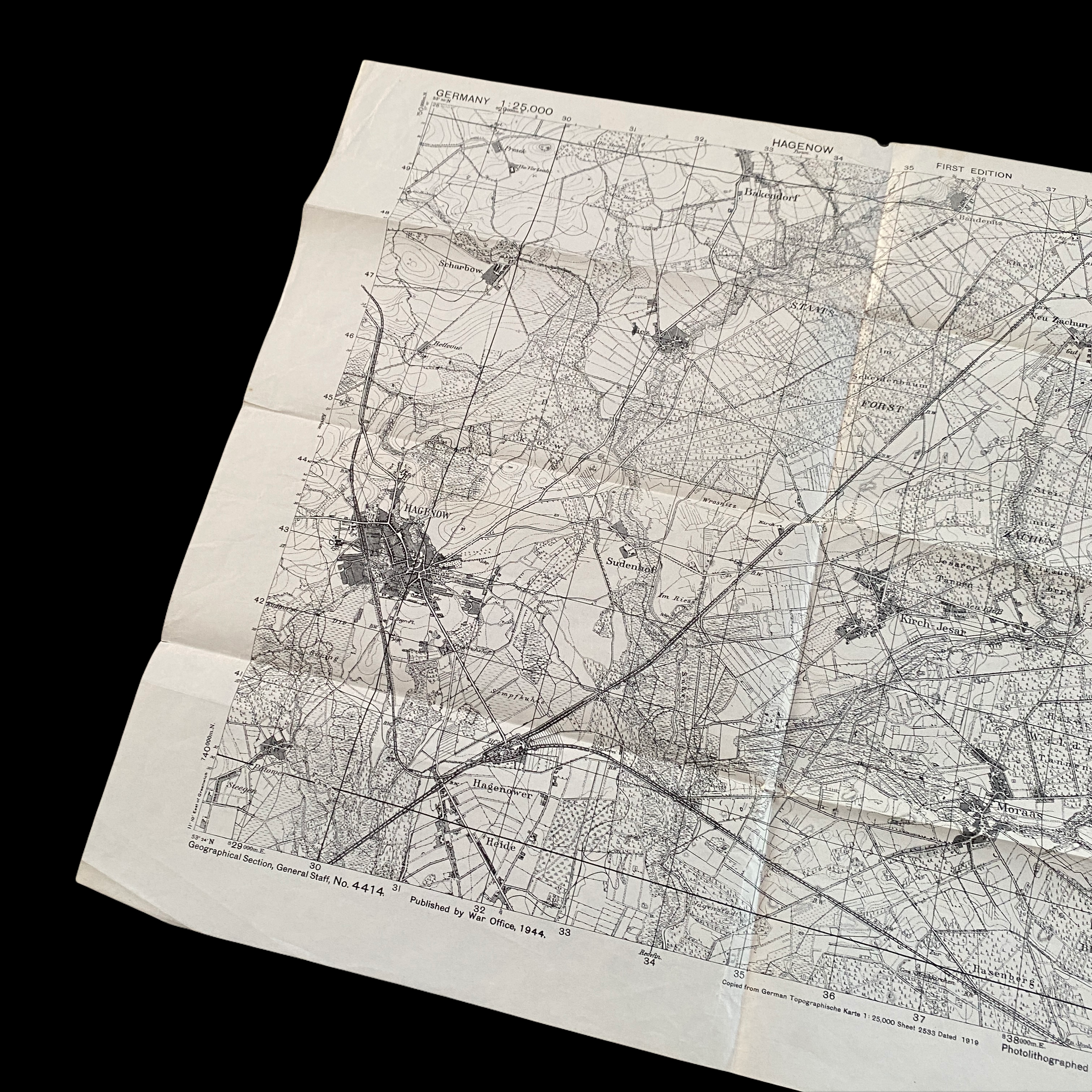
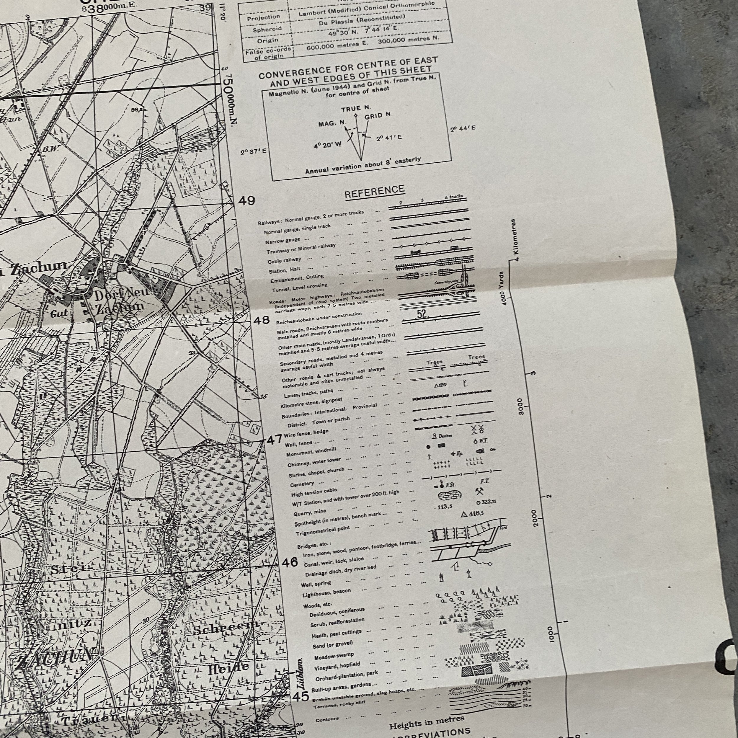
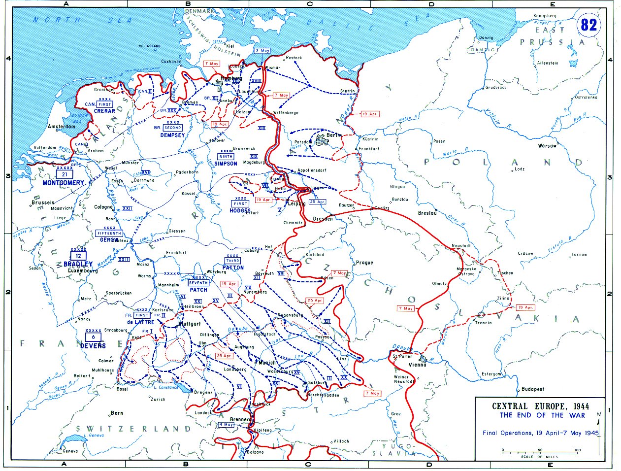
Printed in 1944 by the WAR OFFICE (Department of the British Government), this incredible WWII combat operations map was specially created and used by British and other Allied infantry and armored divisions during the Western Allied invasion of Germany in the Western Front of the European theatre of World War II. These maps were often revised and printed in the theater of operation using the most updated Allied Ariel photography and Royal Air Force reconnaissance photos. This specific map type was favored and most popular and was used as the map in the most intense battlefields of the ETO. This map would have been a key element in the elimination of German Tiger tanks, German infantry, and various other German fortifications during the final months of World War II.
If time and information allowed there would be ‘SECRET’ overprints done on these exact maps to provide infantry and armor and divisions with even more information regarding German fortifications and gun emplacements.
This original World War II map would have been vital to Allied infantry and armored division success as they pushed farther into Germany before the German armed forces surrendered unconditionally in the west on May 7 and in the east on May 9, 1945.