RARE! WWII 1943 Antwerp Battle of the Scheldt Armored Infantry Combat Assault Map


RARE! WWII 1943 Antwerp Battle of the Scheldt Armored Infantry Combat Assault Map
Comes with hand-signed C.O.A.
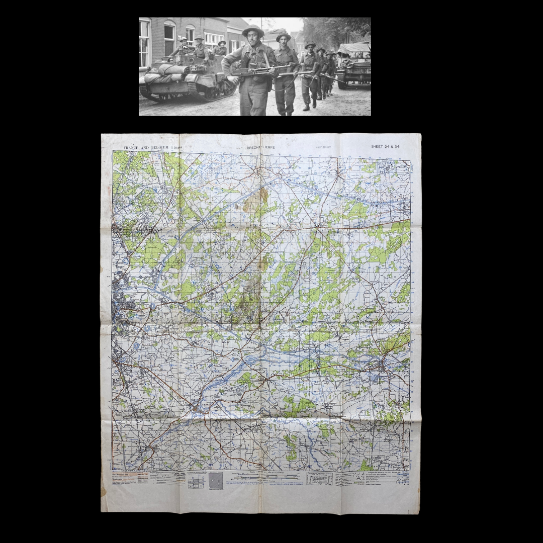
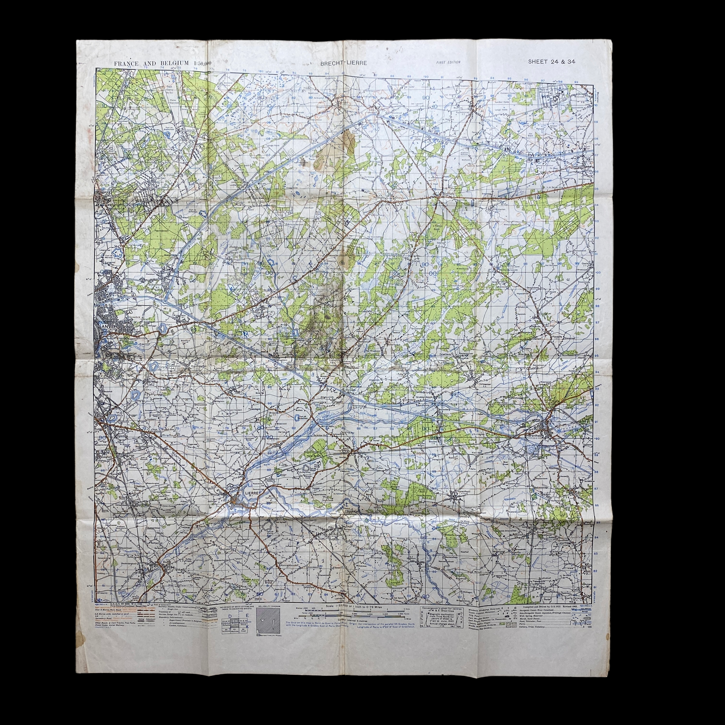
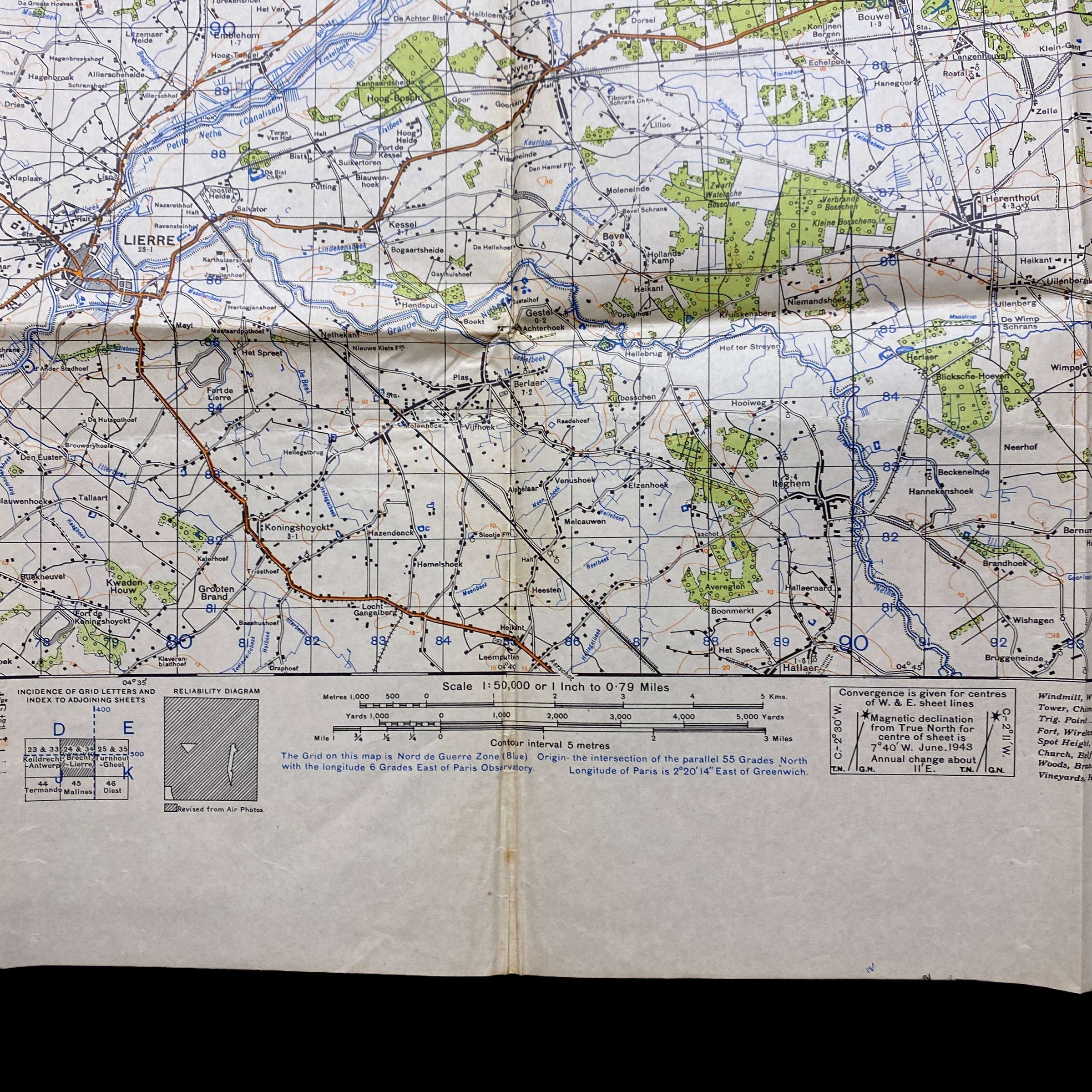
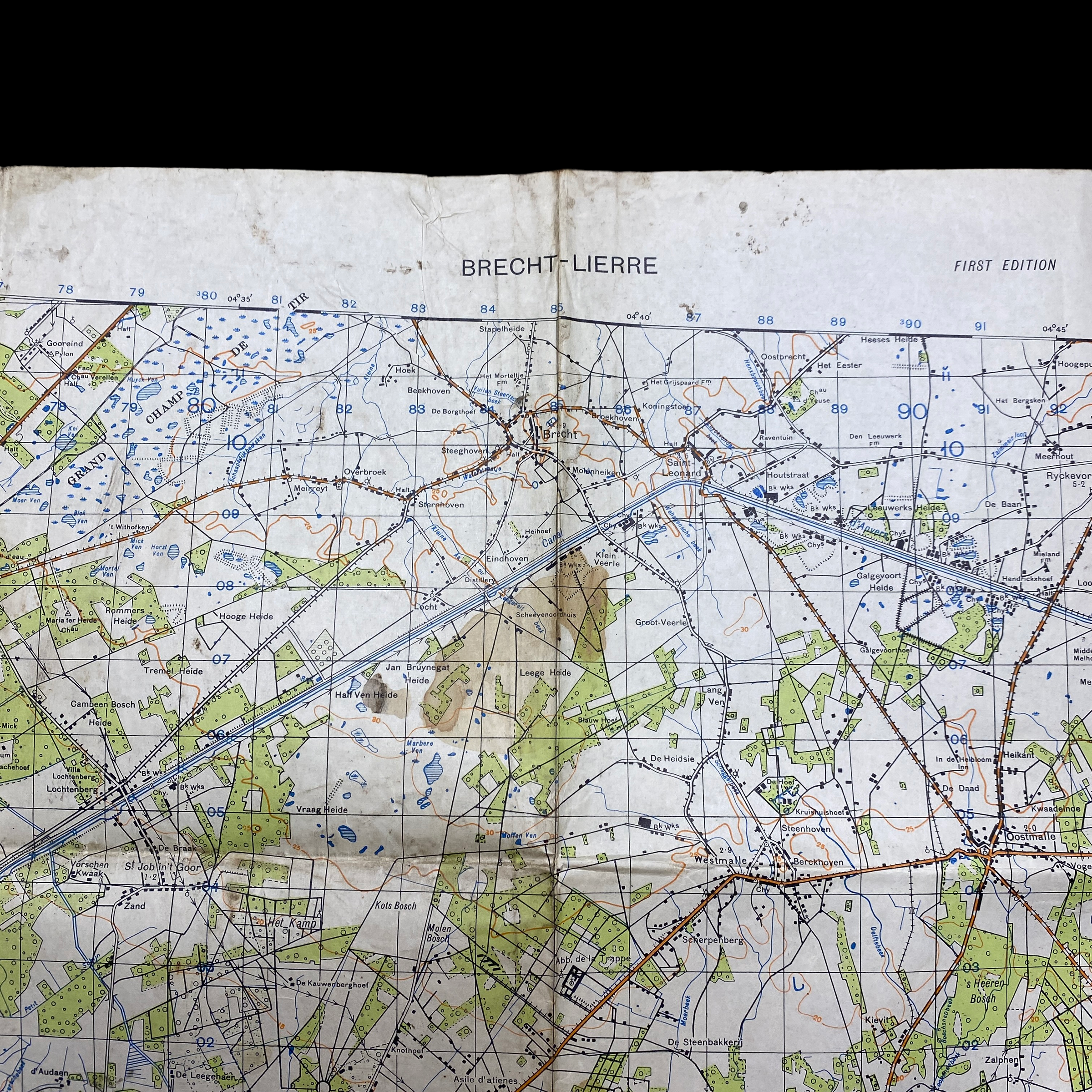
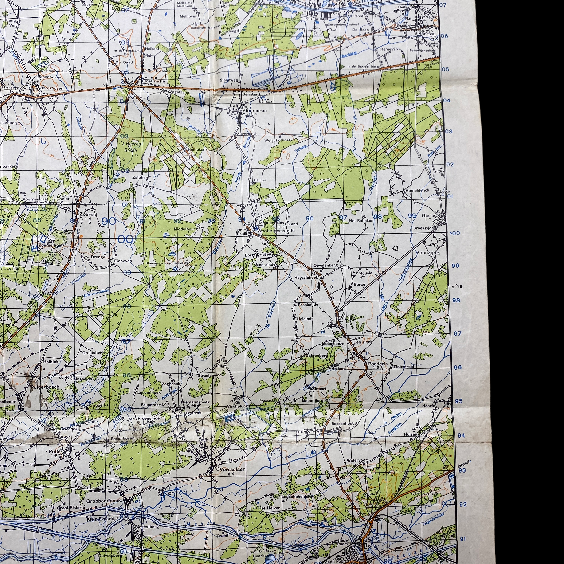
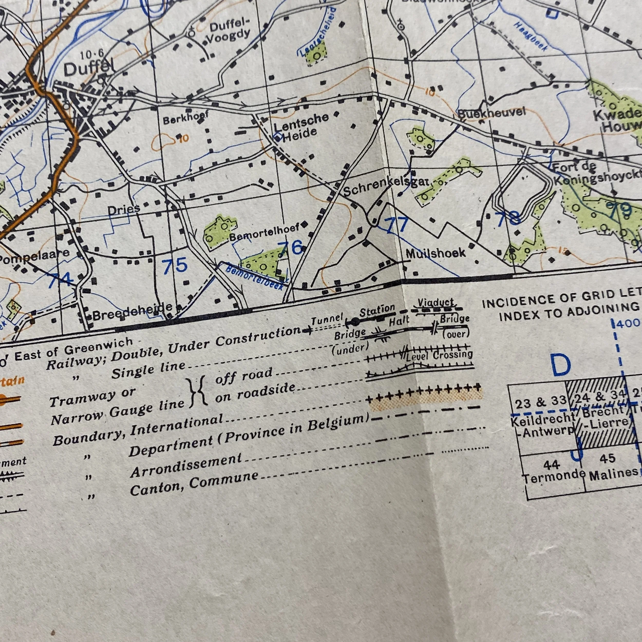
This incredible and museum-grade WWII armored and infantry map was used during the Battle of the Scheldt an the Allied attack on Antwerp. Antwerp is a deep-water inland port close to Germany. It is connected to the North Sea via the river Scheldt, which allows the passage of ocean-going ships. Following the destruction of Rotterdam in 1940, Antwerp was the largest surviving port in Western Europe, and the obvious choice to support an invasion of Germany. Antwerp was to prove a vital port to the Allies as they pushed towards Germany after the success of D-Day in 1944. After the Allied capture of Antwerp, the Germans saught to recapture the vital port as their main objective for their Adrennse Offensive and the later Battle of the Bulge.
Battle of the Scheldt in World War II was a series of military operations led by the First Canadian Army, with Canadian, Polish and British units attached, to open up the shipping route to Antwerp so that its port could be used to supply the Allies in north-west Europe. Under acting command of the First Canadian's Lieutenant-General Guy Simonds, the battle took place in northern Belgium and southwestern Netherlands from 2 October to 8 November 1944.
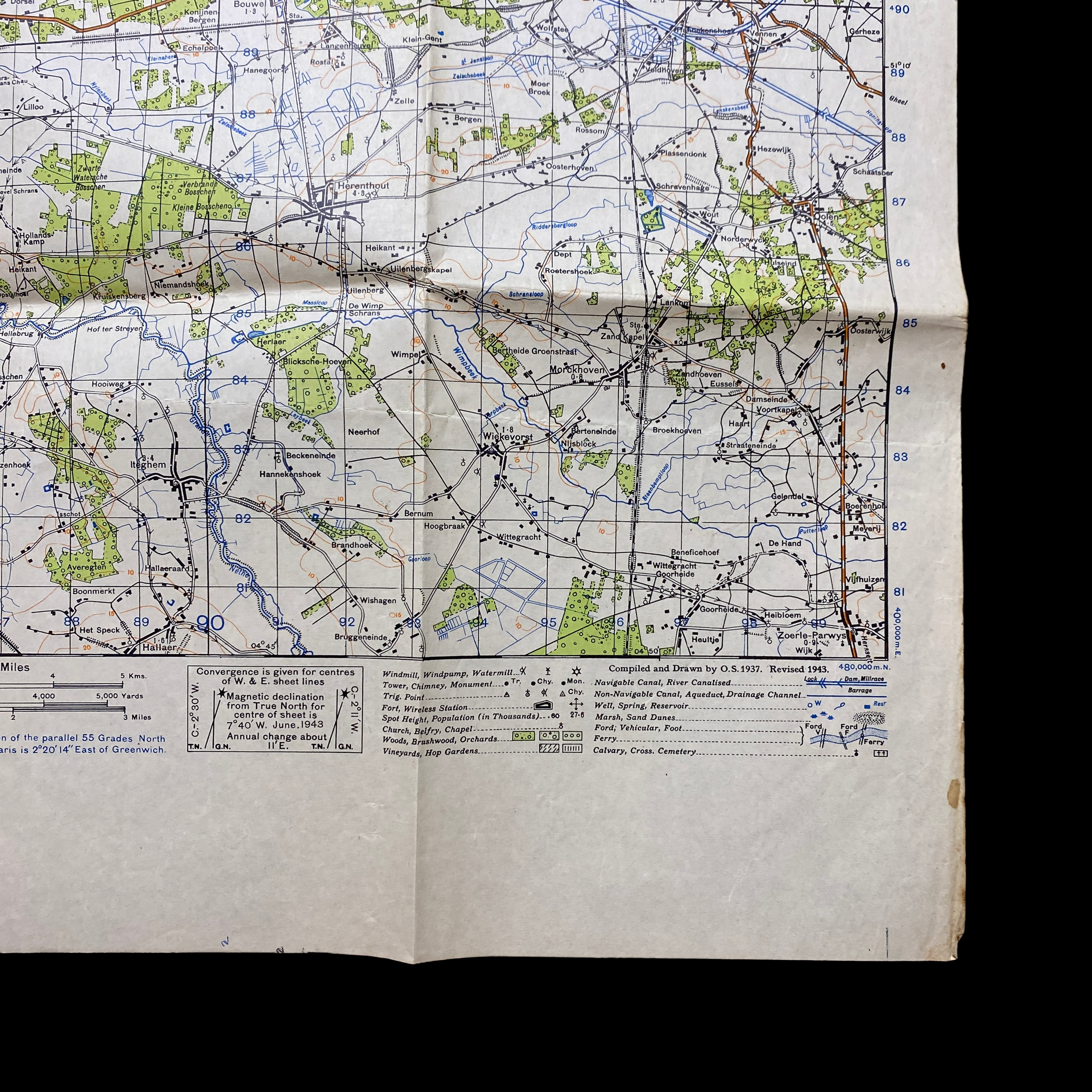
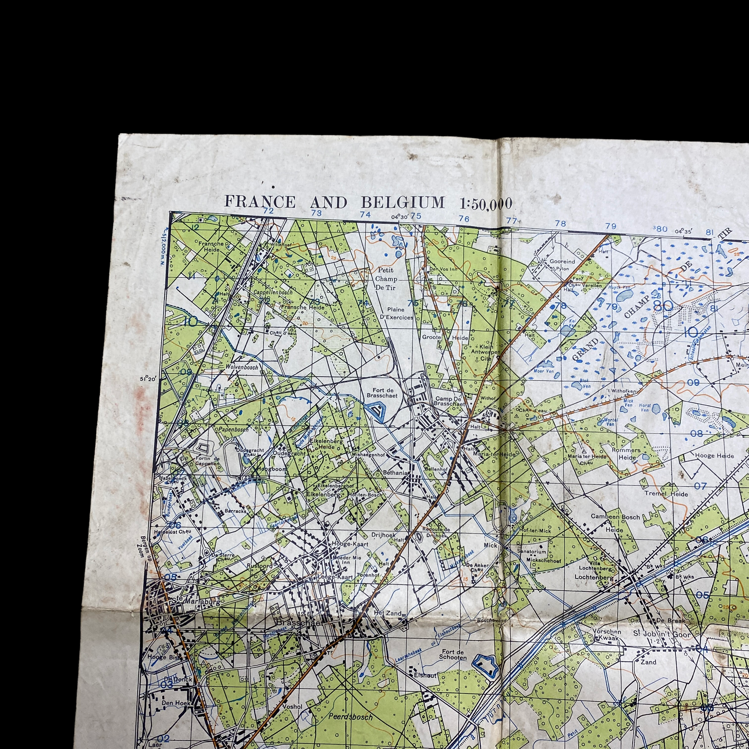
This original infantry and armored combat map shows incredible field use as it was used to attack and assault German position during the operation.
The well-established Wehrmacht defenders staged an effective delaying action, during which the Germans flooded land areas in the Scheldt estuary, slowing the Allied advance. After five weeks of difficult fighting, the Canadian First Army, at a cost of 12,873 Allied casualties (half of them Canadian), was successful in clearing the Scheldt after numerous amphibious assaults, obstacle crossings, and costly assaults over open ground.
Once the German defenders were no longer a threat, it took another three weeks to de-mine the harbours; the first convoy carrying Allied supplies was not able to unload in Antwerp until 29 November 1944.
Background:
Following the Allied breakout after success in the battle of Normandy, they began a series of rapid advances into the Low Countries, far from their initial avenues of supply along the northern coast of France. By the fall of 1944, captured ports like Cherbourg were far away from the front line, stretching Allied supply lines and causing great logistical problems.
Antwerp is a deep-water inland port close to Germany. It is connected to the North Sea via the river Scheldt, which allows the passage of ocean-going ships. Following the destruction of Rotterdam in 1940, Antwerp was the largest surviving port in Western Europe, and the obvious choice to support an invasion of Germany. This had been recognized as early as December 1941, when the Anglo-American armies made their first plans for a European offensive.
The White Brigade of the Belgian resistance seized the port of Antwerp before the Germans could destroy it as they were planning. On 4 September, Antwerp was taken by the 11th Armoured Division with its harbour 90% intact. However, the Germans had heavily fortified Walcheren island at the mouth of the Western Scheldt, establishing well dug-in artillery impervious to air attack and controlling access to the river. This made it impossible for Allied minesweepers to clear the river and open the port at Antwerp. As part of the Atlantic Wall, Walcheren island was described as the "strongest concentration of defences the German’s had ever constructed.