310th Field Artillery 'George W. B.' Named Combat Map of 'Melun-Chaumont' France


310th Field Artillery 'George W. B.' Named Combat Map of 'Melun-Chaumont' France
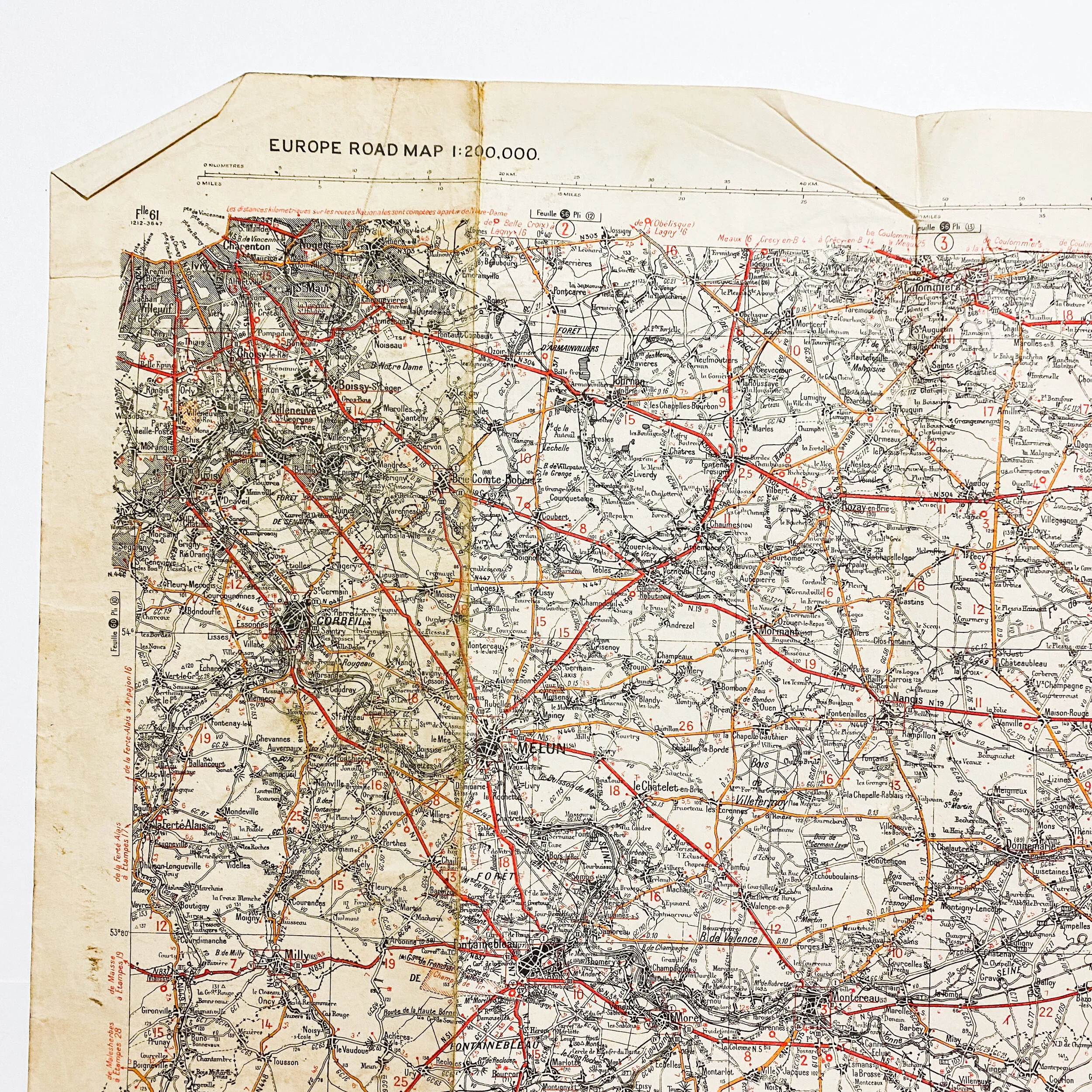
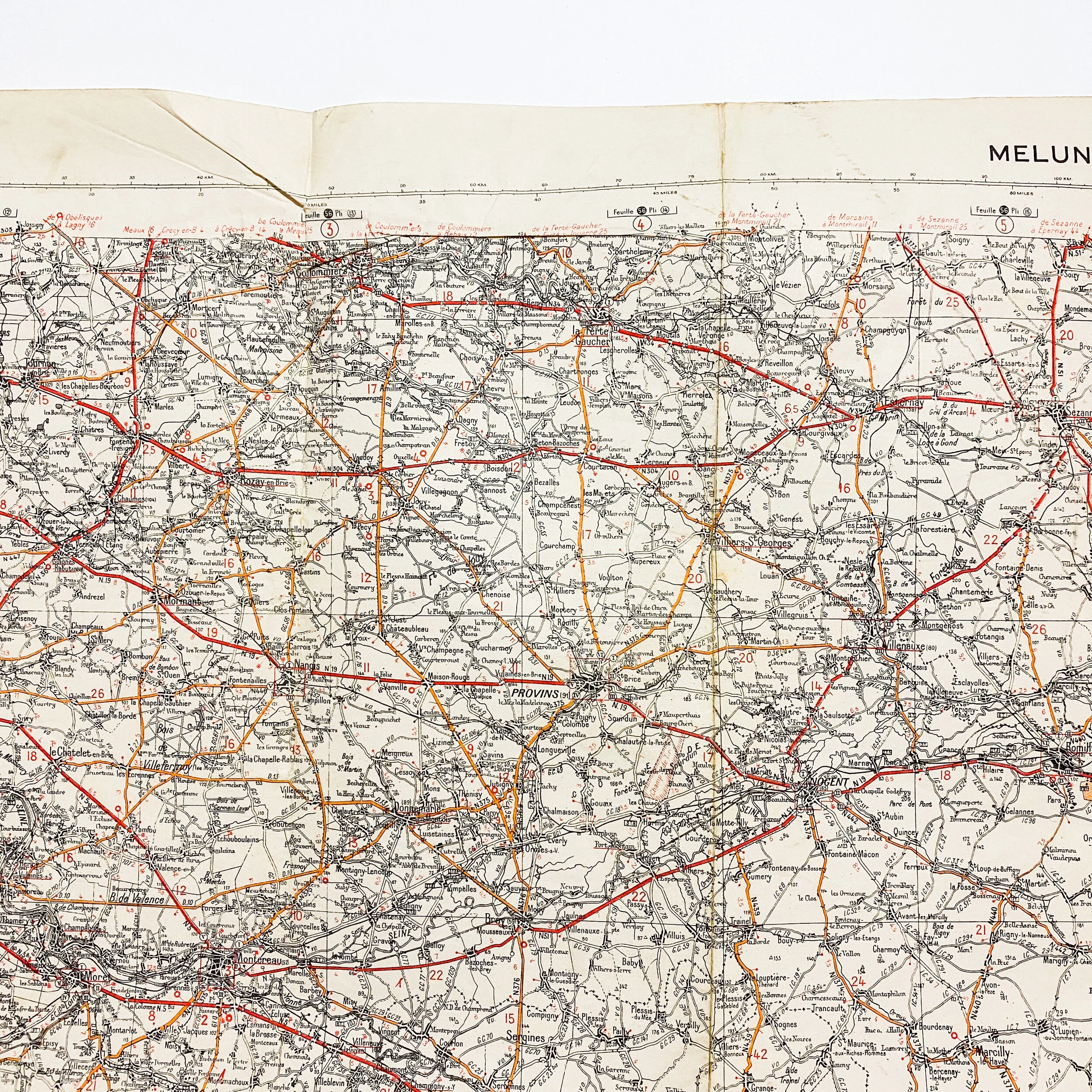
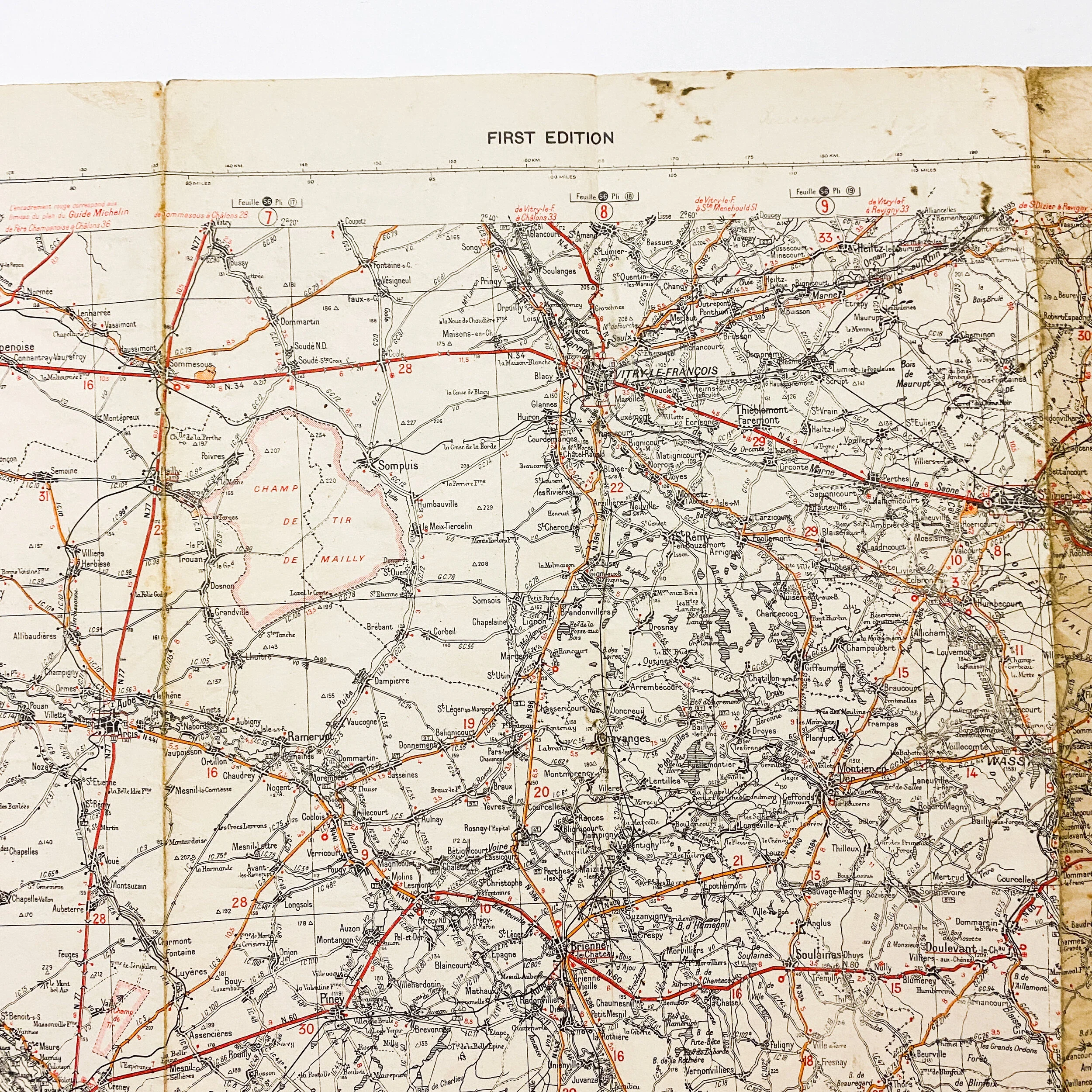
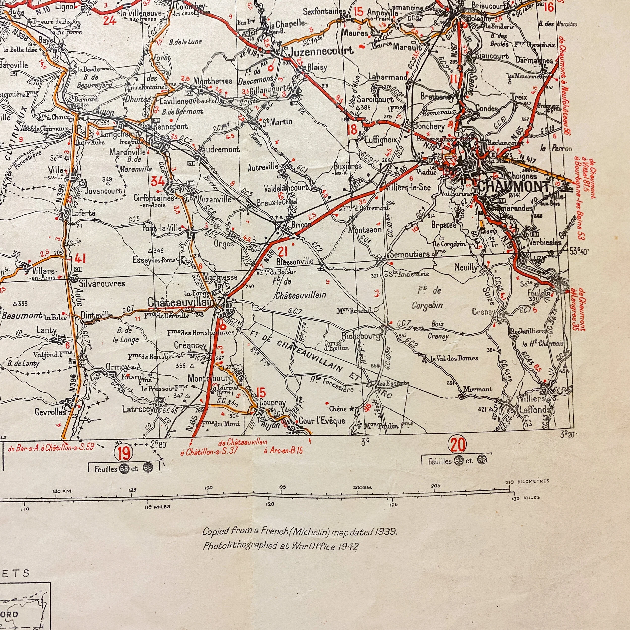
Geographical Section, General Staff, No. 4238 Published by the War Office 1942, 1st Edition. This is an extremely rare full color single side linen paper map of ‘Melun-Chaumont’ France. This map is printed on a folded linen paper and would have been issued to an infantry soldier. This map is very large combat map measuring 27 inches tall x 44 inches wide and in very sturdy condition. This map is marked as being contracted using air photographs using French triangulation. This map is signed by the soldier in a loose signature at the top right and contains annotated marking of towns near Paris, France as the Allies began to move across and liberate France from German occupation.
This map comes from a collection of 5 WWII combat maps brought back following the war by a soldier names ‘George W. B.’ of the 310th Field Artillery Battalion of the 79th Infantry. The 79th infantry is one of the most honored divisions of WWII as the 79th Infantry Division landed on Utah Beach, Normandy, 12–14 June and entered combat 19 June 1944, with an attack on the high ground west and northwest of Valognes and high ground south of Cherbourg. On 26 July, the 79th attacked across the Ay River, took Lessay, crossed the Sarthe River and entered Le Mans, 8 August, meeting only light resistance. The advance continued across the Seine, 19 August. Heavy German counterattacks were repelled, 22–27 August.