1944 Joint Allied Forces Headquarters 'Italy and the Balkans' War Room Strategic Planning Map





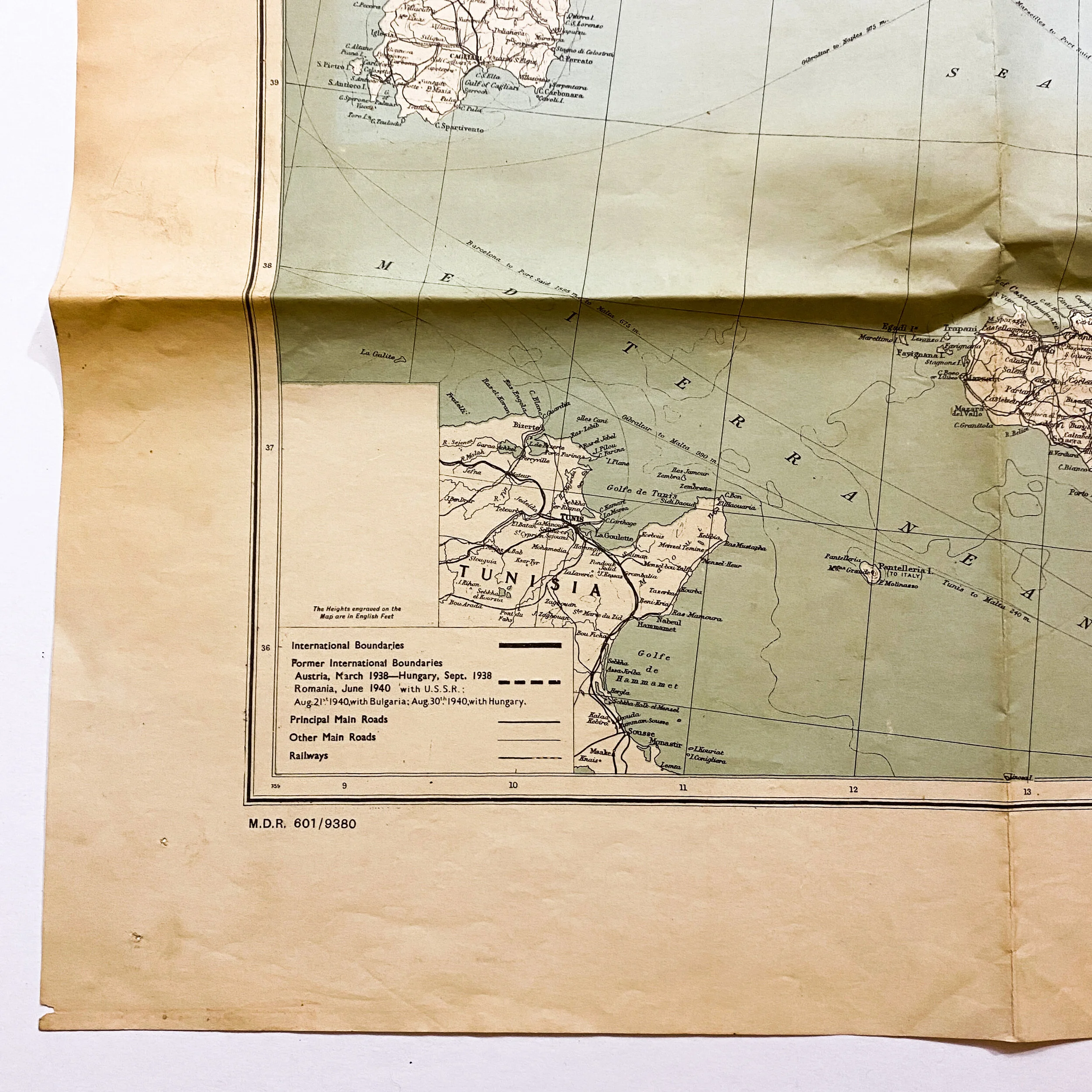


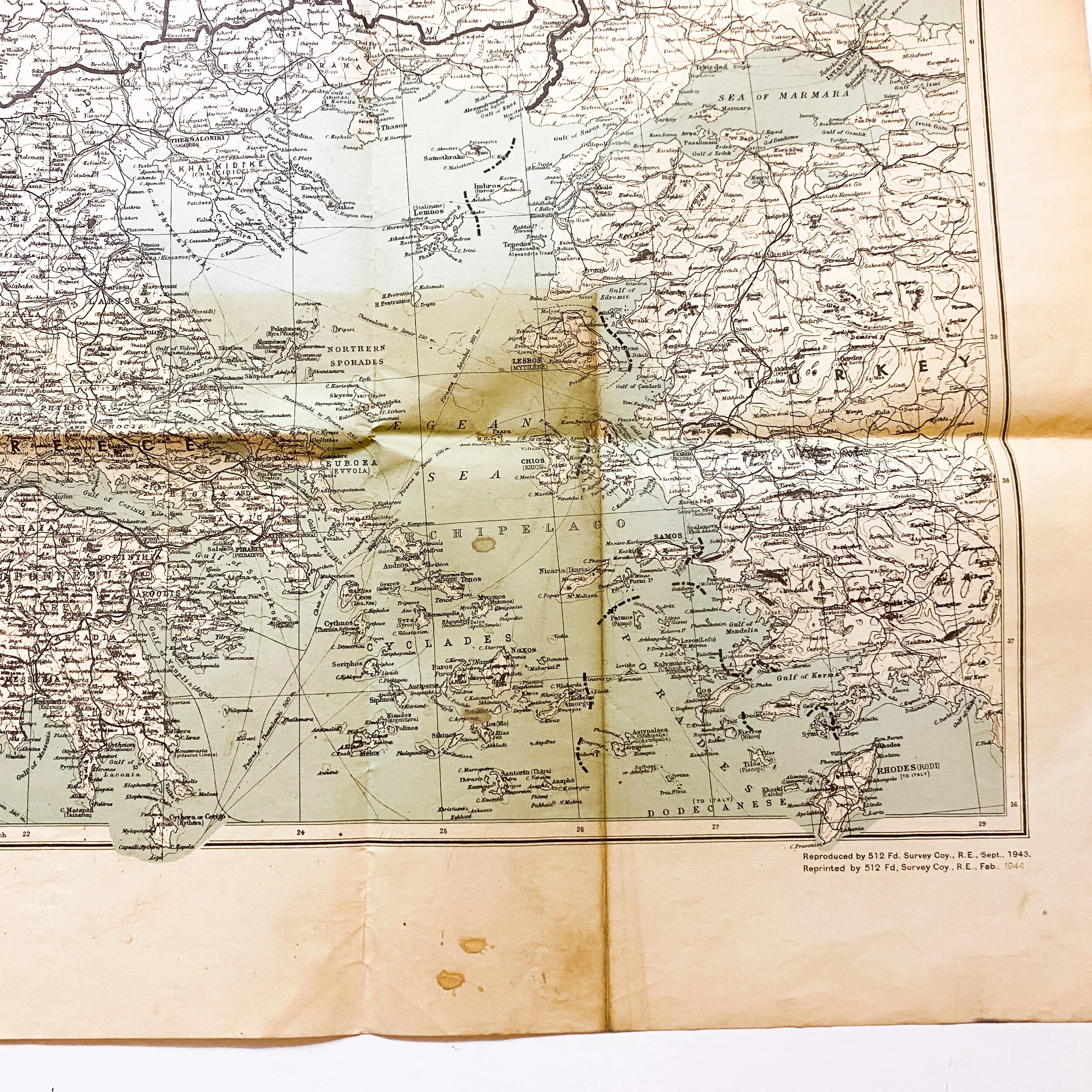


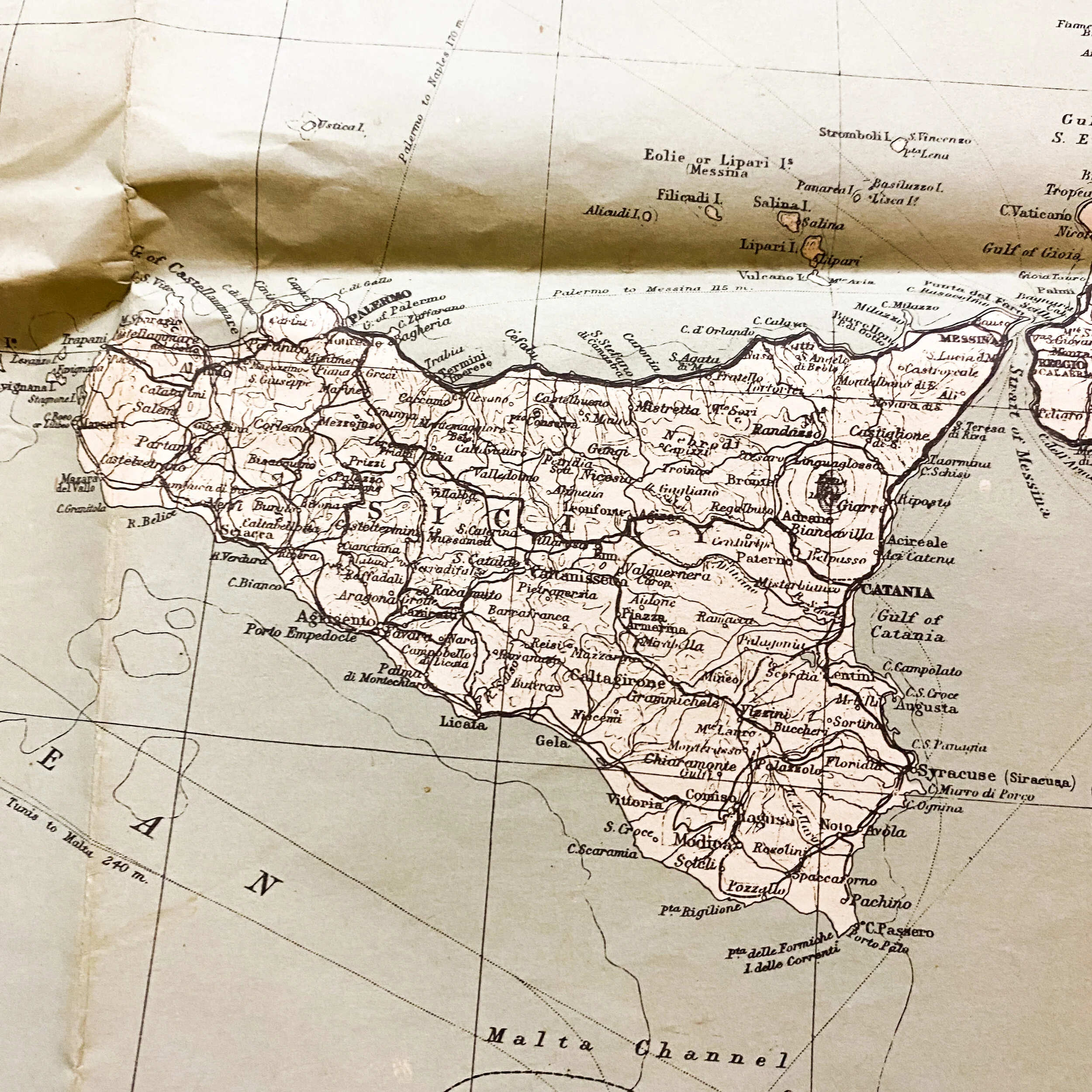


1944 Joint Allied Forces Headquarters 'Italy and the Balkans' War Room Strategic Planning Map
Size: 42 x 32 inches
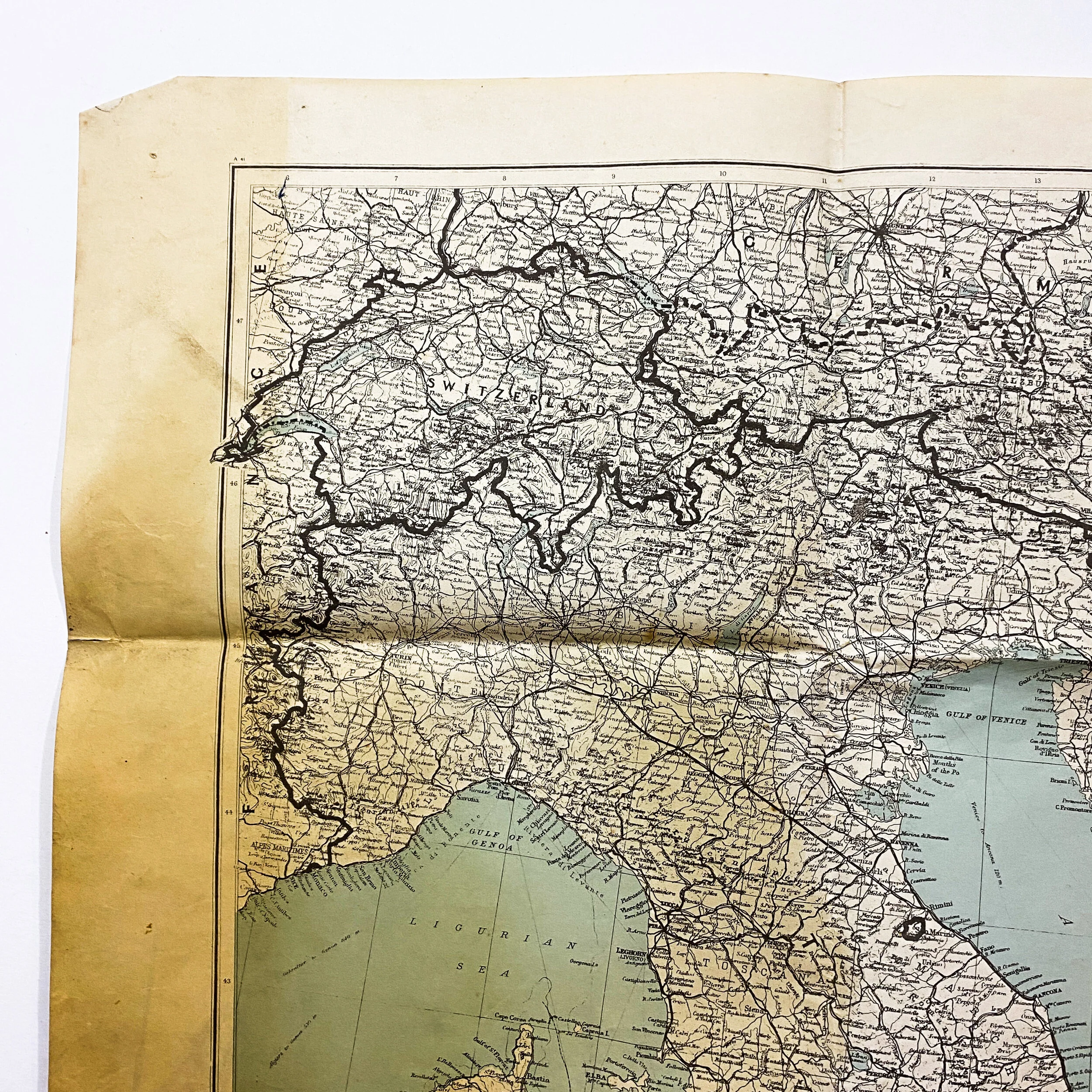
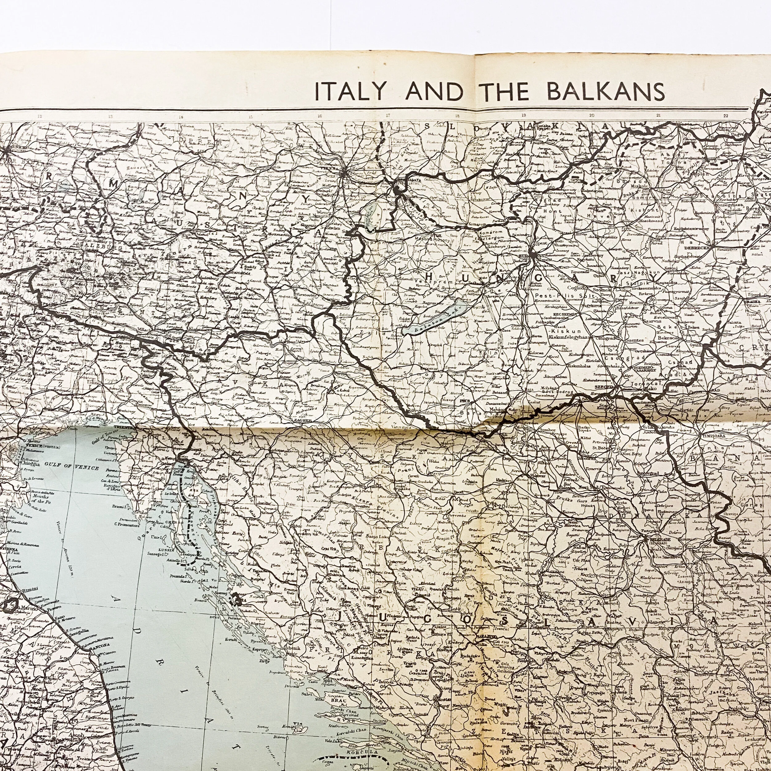
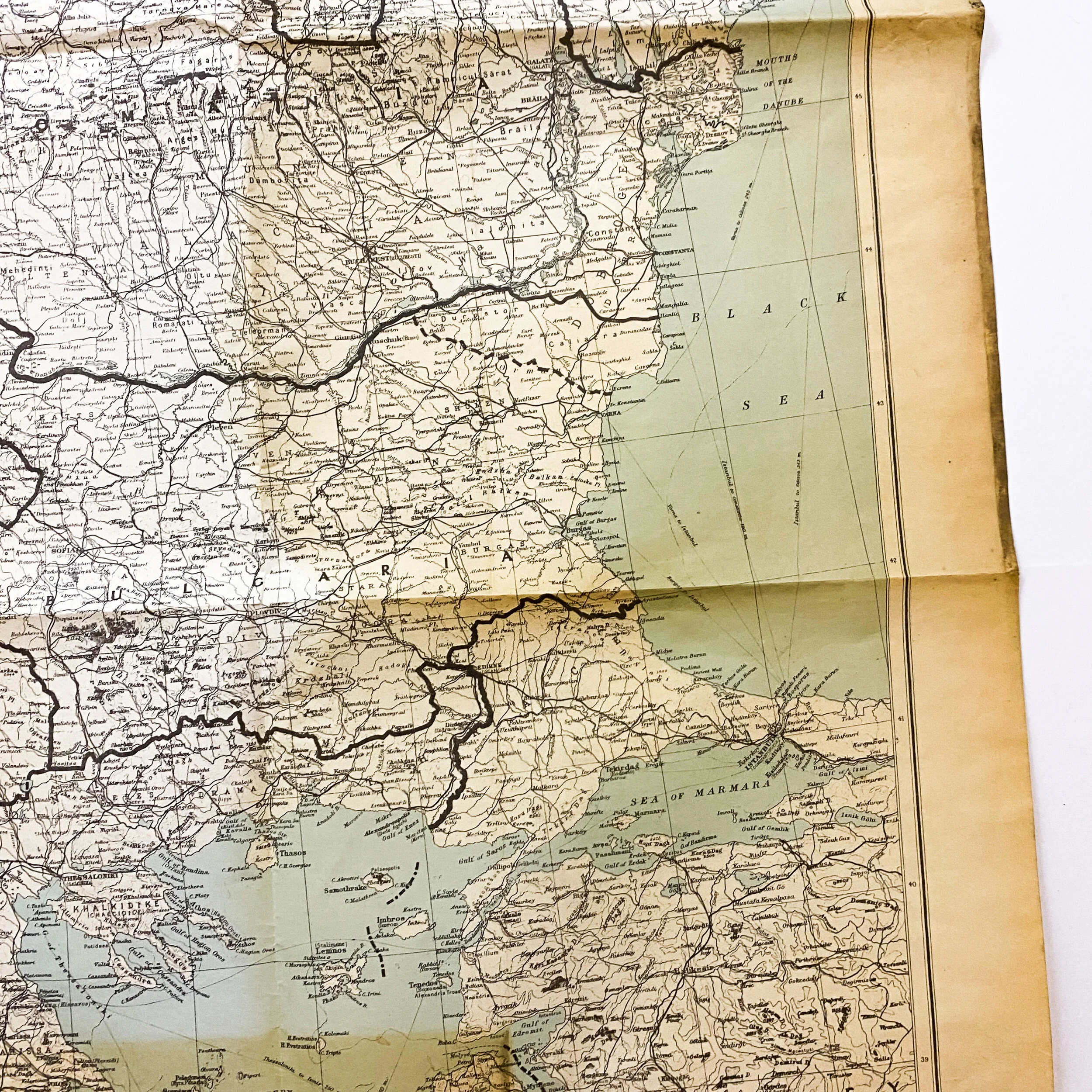
This original 1944 dated World War II map titled “Italy and the Balkans” shows a large scale sector of the Italian campaign of World War II. The Italian campaign between the Allied and Axis powers in and around Italy lasted from 1943 to 1945. The Joint Allied Forces Headquarters (AFHQ) was operationally responsible for all Allied land forces in the Mediterranean theatre and it planned and led the invasion of Sicily in July 1943, followed in September by the invasion of the Italian mainland and the campaign in Italy until the surrender of the German Armed Forces in Italy in May 1945.
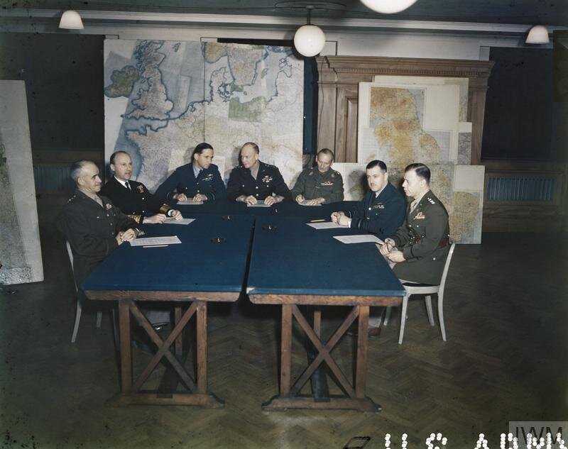
This map is similar to other war room maps used by Higher ranking military personnel for the strategic planning and moving of troops and divisions. The map is in very good condition for its age and has tack holes located near the corners as it was once hung to a wall. The map is named to a Capt. Bennett and is inscribed on the backside of the map.
It is estimated that between September 1943 and April 1945, 60,000–70,000 Allied and 38,805–150,660 German soldiers died in Italy. The number of Allied casualties was about 320,000 and the German figure (excluding those involved in the final surrender) was over 330,000. Fascist Italy, prior to its collapse, suffered about 200,000 casualties, mostly POWs taken in the invasion of Sicily, including more than 40,000 killed or missing. Over 150,000 Italian civilians died, as did 35,828 anti-fascist partisans and some 35,000 troops of the Italian Social Republic. On the Western Front of World War II, Italy was the most costly campaign in terms of casualties suffered by infantry forces of both sides, during bitter small-scale fighting around strongpoints at the Winter Line, the Anzio beachhead and the Gothic Line.