The Battle of the Lys - 1916 British Expeditionary Force (B.E.F.) Operational Movement Map


The Battle of the Lys - 1916 British Expeditionary Force (B.E.F.) Operational Movement Map
Size: 27 x 35 inches
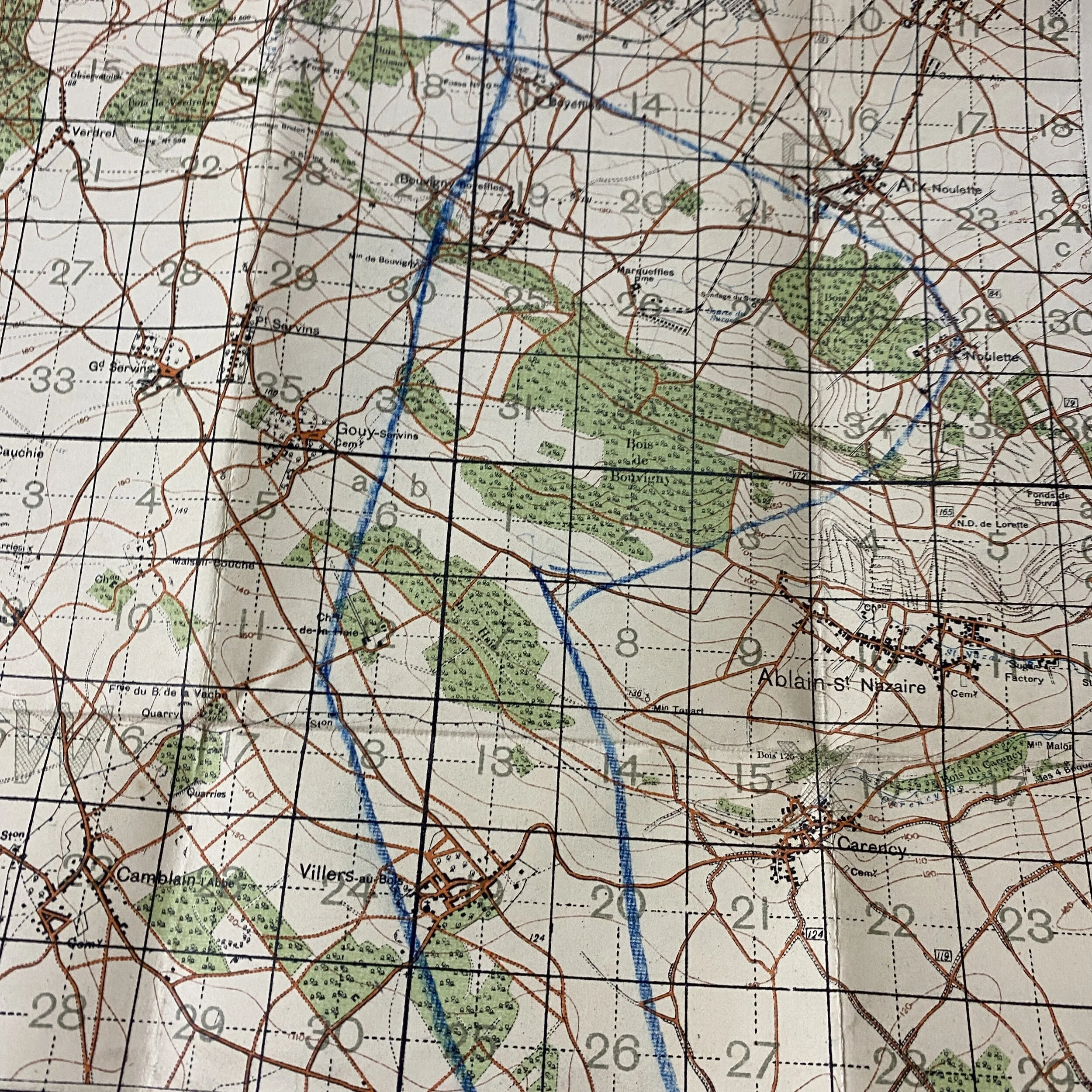
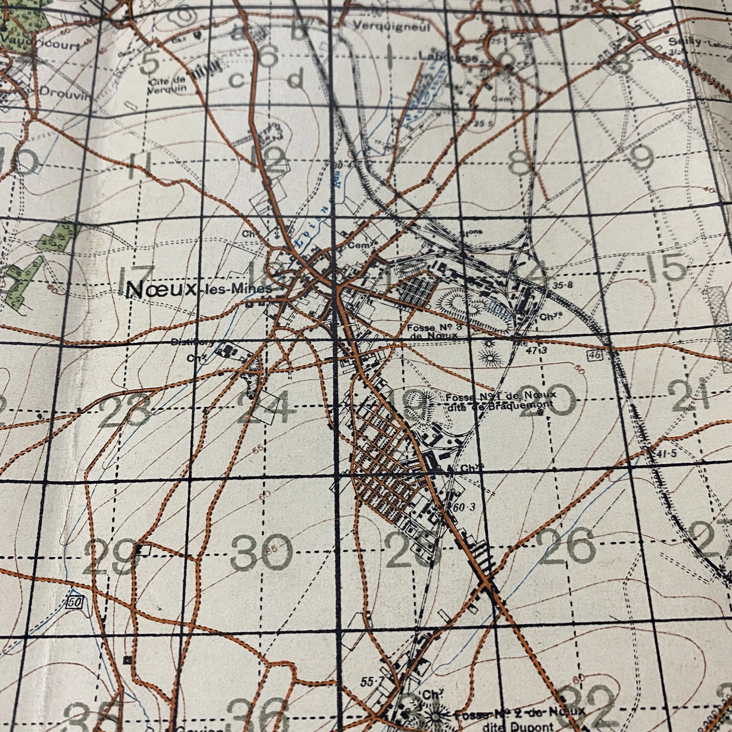
Titled “France” this British Expeditionary Force (B.E.F.) World War I map is marked Edition 8 - Sheet 36B and is dated Ordnance Survey 1916. This map shows an area that saw lots of movement and action during World War 1 during the famous battles of “The Battle of the Lys”, also known as the Fourth Battle of Ypres. This was fought from 7 to 29 April 1918 and was part of the German Spring Offensive in Flanders during the First World War. It was originally planned by General Erich Ludendorff as Operation George but was reduced to Operation Georgette, with the objective of capturing Ypres, forcing the British forces back to the Channel ports and out of the war. In planning, execution and effects, Georgette was similar to (although smaller than) Operation Michael, earlier in the Spring Offensive. Map features unknown operational markings done in blue located near the bottom right corner and features some of the most infamous towns of the operation including Bethune, Bruay, Auchel, etc. Some of the most famous photographs of the operation features BEF soldiers in these very towns.
The German attack zone was in Flanders, from about 10 kilometres (6.2 mi) east of Ypres in Belgium to 10 kilometres (6.2 mi) east of Béthune in France, about 40 kilometres (25 mi) south. The front line ran from north-north-east to south-south-west. The Lys River, running from south-west to north-east, crossed the front near Armentières in the middle of this zone. The front was held by the Belgian Army in the far north, by the British Second Army (under Plumer) in the north and centre and by the British First Army (under Horne) in the south.
Battle of Béthune (18 April)
On 18 April, the German Sixth Army attacked south from the breakthrough area toward Béthune but was repulsed.