VERY RARE! WWII 1942 Operation Matterhorn USAAF Heavy Bomber Japan Air Raid Mission Navigation Map
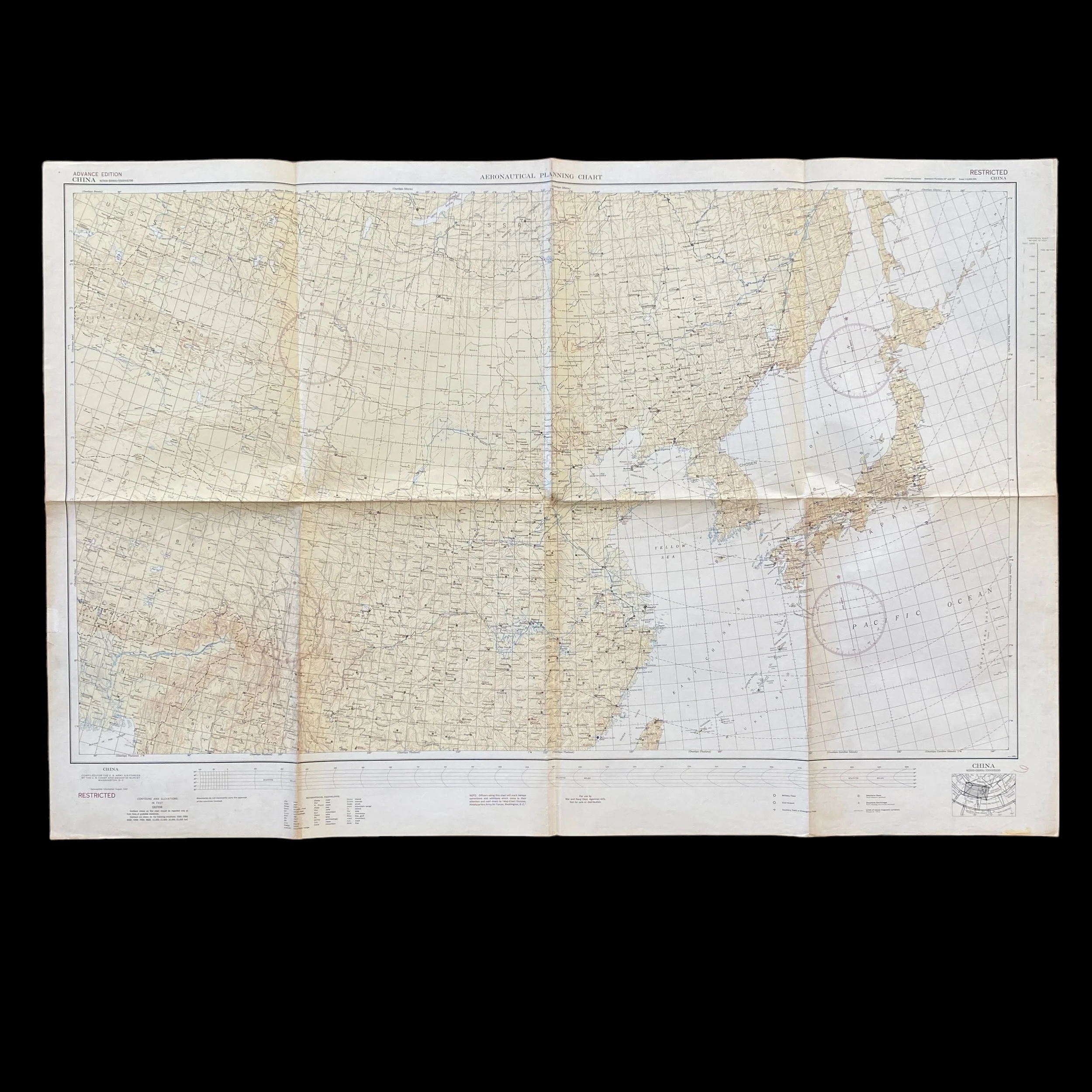

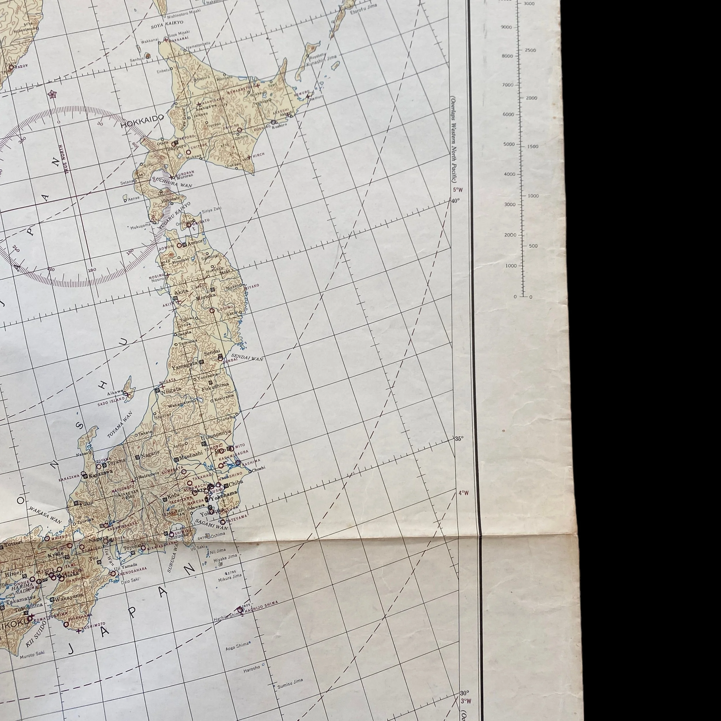
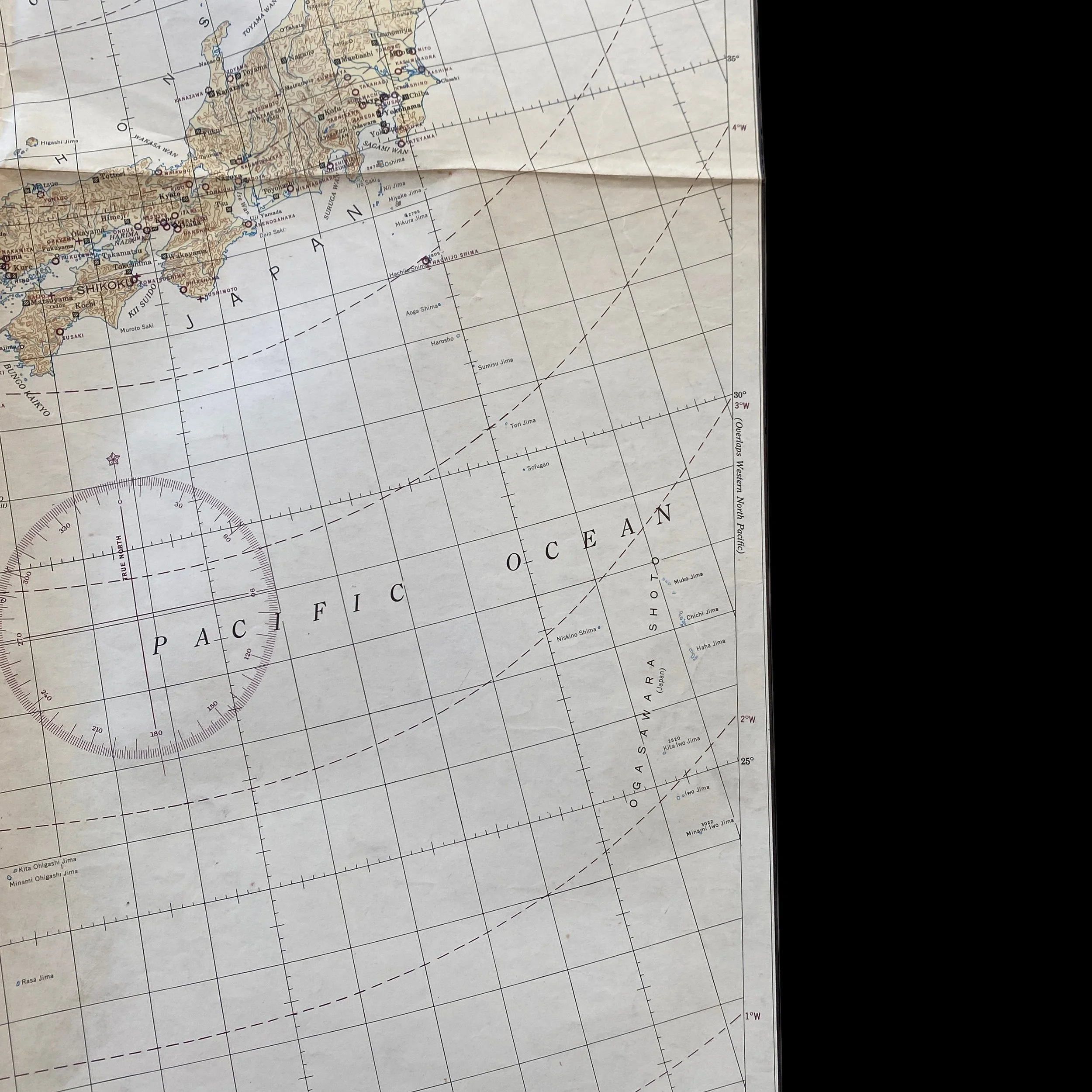









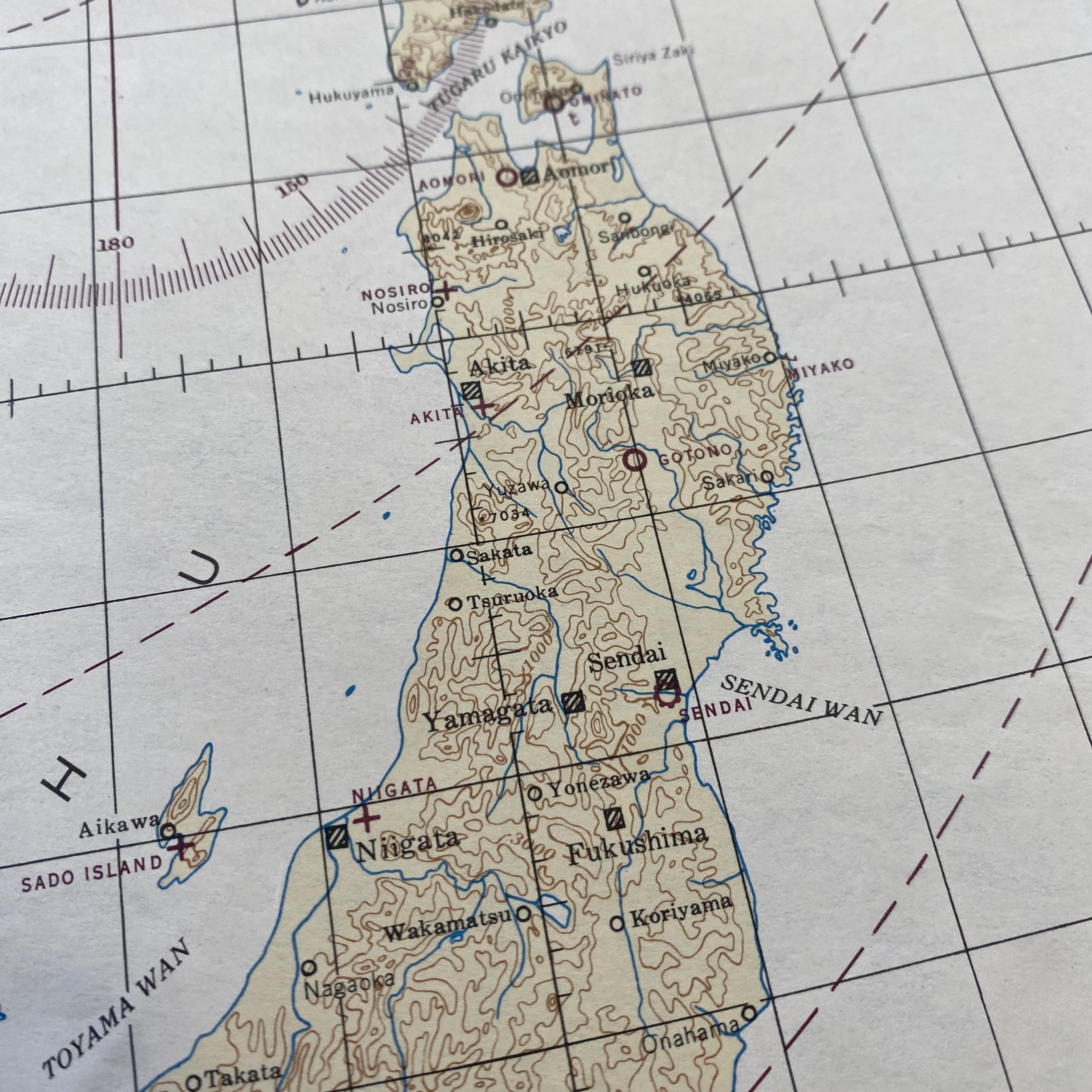


VERY RARE! WWII 1942 Operation Matterhorn USAAF Heavy Bomber Japan Air Raid Mission Navigation Map
Comes with a hand-signed C.O.A. and a full historical research document/write-up
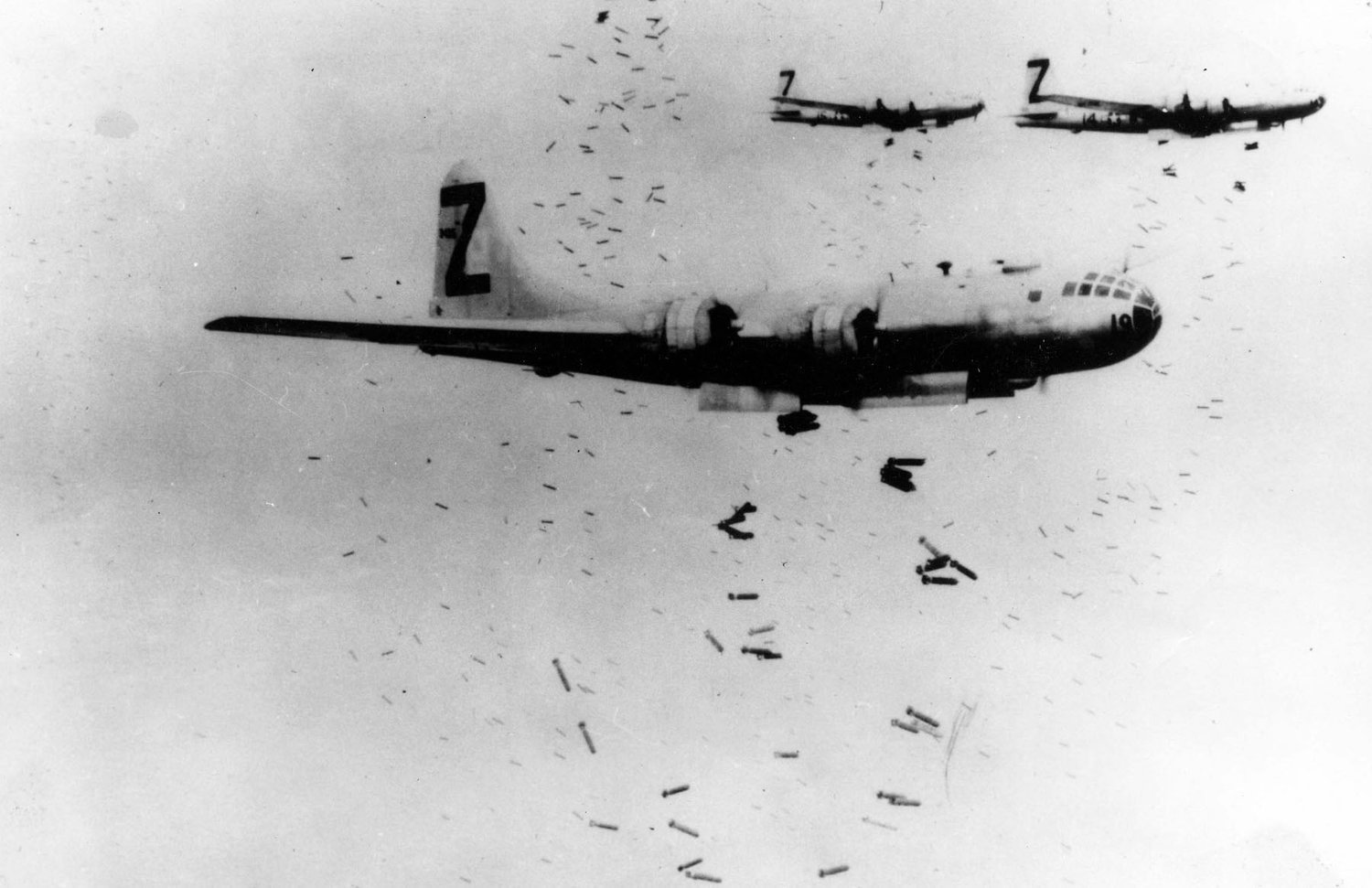
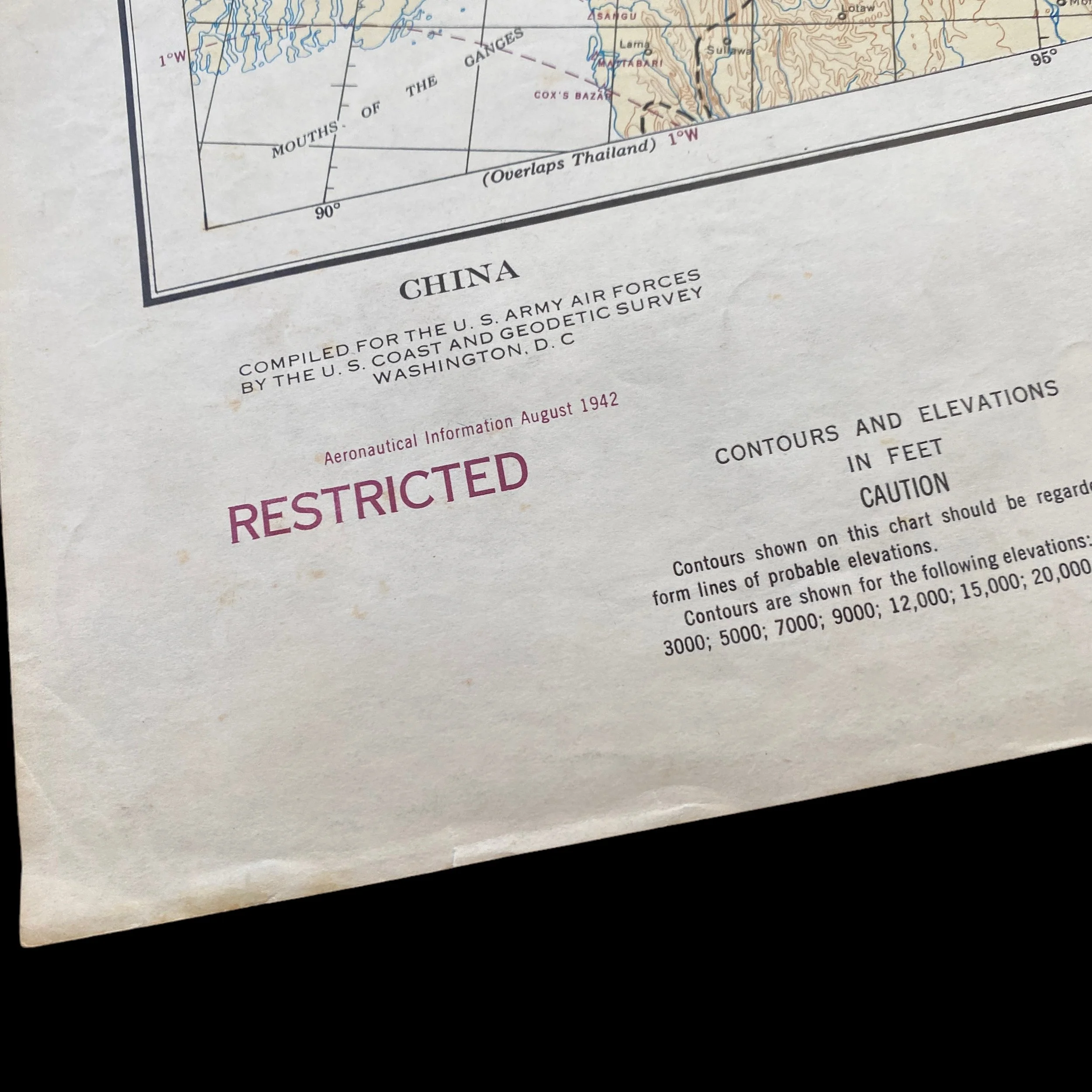
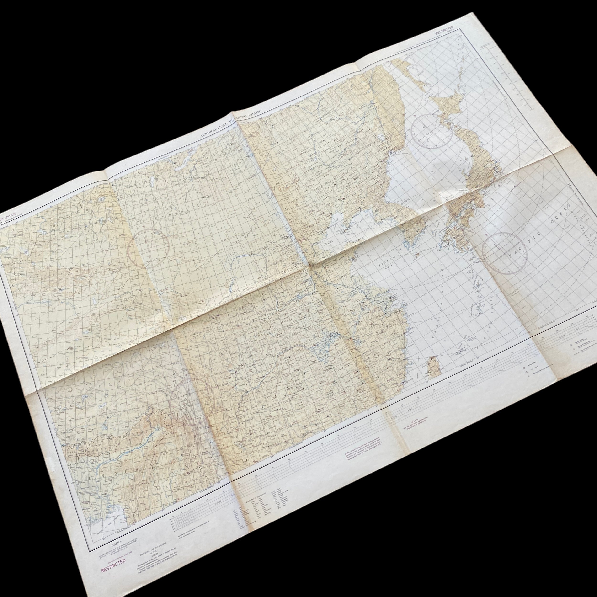
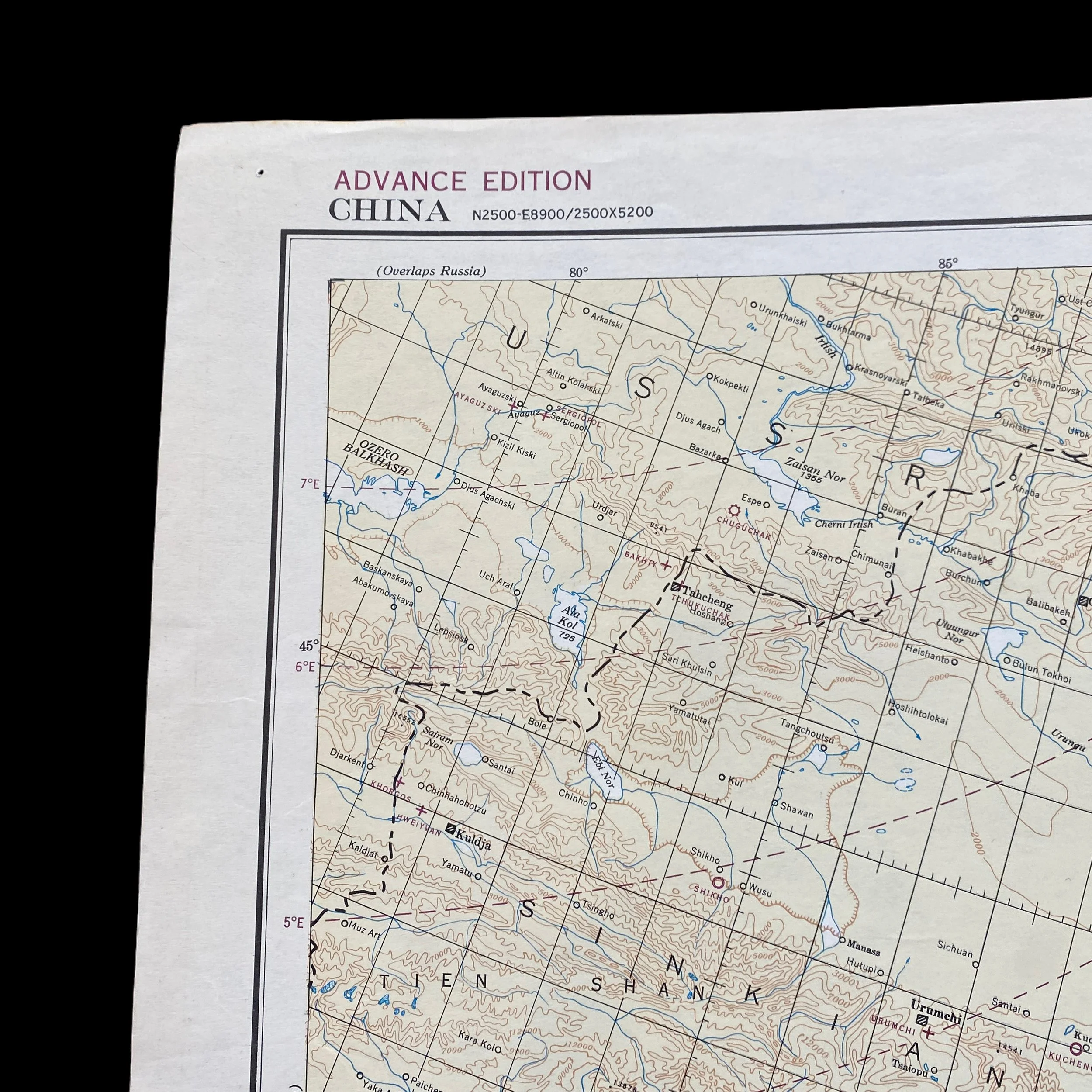
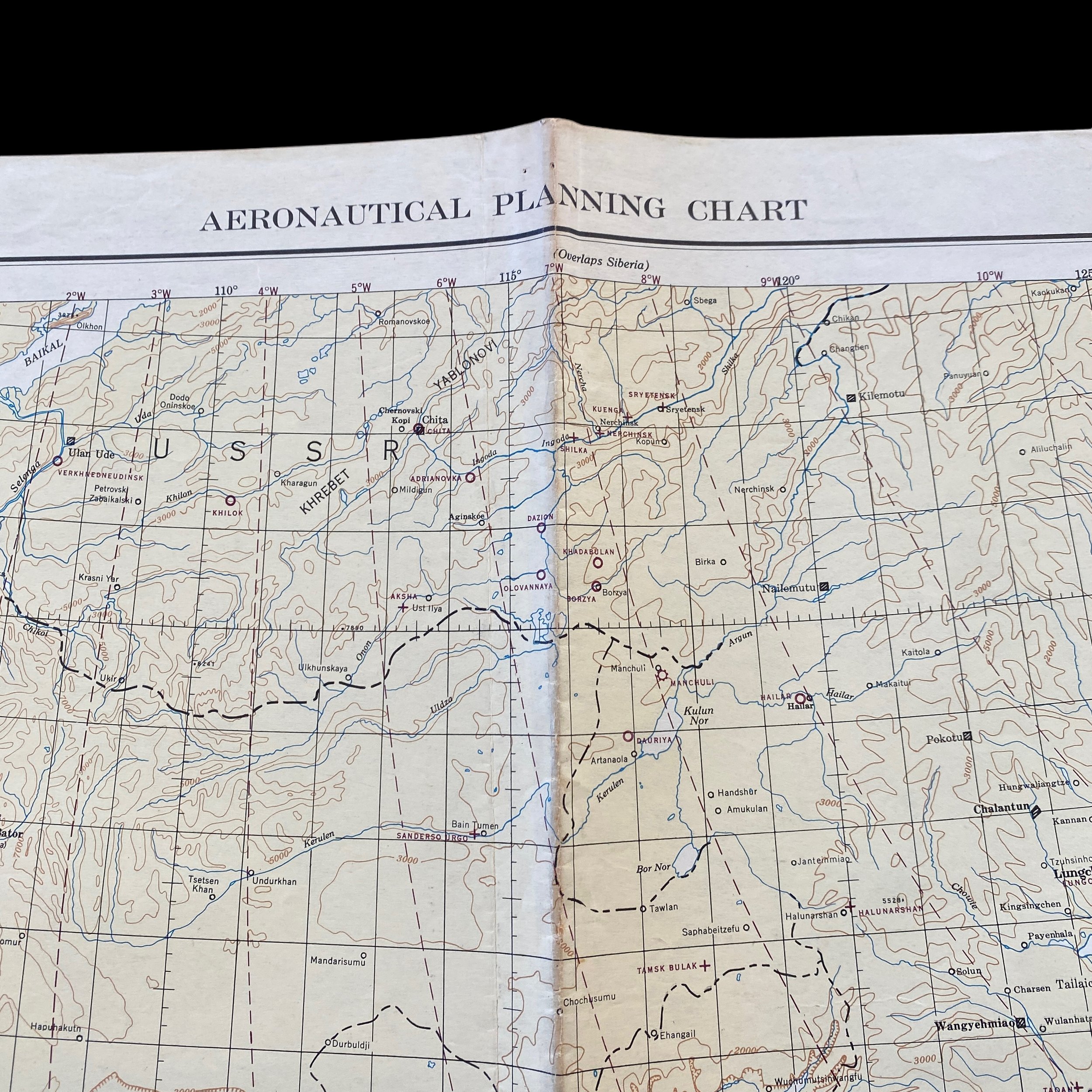
This rare and museum-grade “ADVANCED EDITION” U.S. navigators mission map is marked “RESTRICTED” and was heavily used during some of the earliest U.S. bombing raids on Japan in 1942 and 1943. This mission map played a pivotal role during World War II in guiding aviators through the perilous skies of the Pacific Theater. Dated August 1942, this RESTRICTED air map aided Allied forces in their missions across the vast expanse of the Pacific Ocean. One of the key initiatives of the bombing campaign was Operation Matterhorn. The plan involved establishing airbases in China from which B-29s could conduct bombing raids on Japanese cities and industrial centers. While logistical challenges and adverse weather conditions initially hampered the operation, the strategic importance of the airbases eventually provided a crucial launching point for sustained bombing campaigns. The bombing missions focused on key industrial centers in Japan, including Tokyo, Osaka, Nagoya, and Kobe. The raids aimed to cripple Japan's war machine by targeting manufacturing facilities, transportation infrastructure, and urban areas. The use of incendiary bombs, such as those in the firebombing raids on Tokyo in March 1945, resulted in devastating firestorms that caused extensive damage and loss of life.
The Pacific theater of World War II witnessed intense and sustained air campaigns by the United States against Japan during the final stages of the conflict. From 1944 to 1945, the U.S. initiated a series of strategic bombing missions aimed at crippling Japan's industrial and military capabilities.
The decision to embark on a strategic bombing campaign against Japan was multifaceted. The Allies sought to weaken Japan's ability to wage war and force a quicker end to the conflict. The strategy also aimed to diminish Japan's industrial output, disrupt supply lines, and lower the morale of the Japanese population.
To carry out these strategic bombing missions, the United States had achieved air superiority in the Pacific by 1944. This allowed for the deployment of long-range bombers, such as the B-29 Superfortress, which could reach deep into Japanese territory. The B-29s were equipped with cutting-edge technology, including remote-controlled gun turrets, pressurized cabins, and a higher cruising altitude, making them formidable weapons for the strategic bombing campaign.
The U.S. strategic bombing campaign on Japan in the latter stages of World War II played a significant role in hastening the end of the conflict. By targeting key industrial and population centers, the Allies sought to cripple Japan's ability to continue the war. The use of advanced technology, coupled with air superiority, allowed for unprecedented destruction and changed the course of the Pacific theater. However, the ethical implications of targeting civilian populations and the human cost of such campaigns remain subjects of historical debate.
Strategic Bombing Campaigns on Mainland Japan:
The strategic bombing campaigns over mainland Japan were relentless and aimed at crippling the Japanese war effort. The air navigation chart played a central role in planning these missions, particularly during the night incendiary raids and daylight precision bombing runs.
For the night incendiary raids, which aimed to create massive firestorms in urban areas, the crews had to follow specific routes to maximize the impact of the bombing. The chart provided crucial information on landmarks, radio beacons, and waypoints, which guided the bombers through the darkness to their targets.
During daylight precision bombing runs, such as the infamous raid on Tokyo on March 9, 1945, the air navigation chart helped aviators to accurately navigate to their designated targets, often industrial facilities and military installations. These missions were highly risky, as they required flying at low altitudes to improve bombing accuracy while exposing the aircraft to heavy anti-aircraft fire.
Air Navigation and Target Maps: The Key to Success:
The success of the Allied efforts in the Pacific Theater can be attributed in large part to the effective utilization of air navigation and target maps like the "Air Navigation Chart." These maps were instrumental in planning and executing missions that were critical to achieving strategic objectives.
Island-Hopping Strategy: The island-hopping strategy employed by the Allies involved capturing key islands in the Pacific to establish airfields and naval bases, gradually moving closer to the Japanese mainland. Air navigation charts were crucial in guiding aircraft between these islands, ensuring a safe and efficient route for troop transport and resupply missions.
Long-Range Bombing: The capture of Iwo Jima provided the Allies with a critical forward base for B-29 Superfortress bombers, which had the range to reach mainland Japan. Air navigation charts were used to plan these long-range bombing missions, considering factors like prevailing winds, fuel consumption, and target coordinates. The raids were instrumental in weakening Japanese defenses and demoralizing the enemy.
Precision Bombing: Daylight precision bombing required meticulous planning, as bombers had to fly at low altitudes to hit their targets accurately. Air navigation charts played a vital role in guiding the aircraft along specific flight paths, avoiding enemy defenses, and ensuring precise targeting.
Night Incendiary Raids: To maximize the impact of the night incendiary raids, which aimed to create firestorms in urban areas, air navigation charts helped bombers navigate through the darkness. The charts allowed pilots to identify landmarks and radio beacons to guide them to their intended targets.
Challenges and Risks Faced by Aviators:
Operating in the Pacific Theater presented immense challenges and risks for aviators. The vastness of the ocean, extreme weather conditions, and the relentless resistance from the Japanese forces posed significant threats.
Weather and Navigation: The vast stretches of the Pacific Ocean presented a navigational challenge for aviators. Strong crosswinds, unpredictable weather patterns, and long flight durations demanded precise navigation using air navigation charts to stay on course and reach their destinations safely.
Long Distance: The Pacific Theater covered a vast area, and many missions required long-range flights. These extended journeys meant that aircraft often flew close to their maximum range, leaving little margin for error in fuel consumption calculations.
Enemy Defenses: Japanese anti-aircraft fire and fighter aircraft posed a constant threat to the Allied forces. Aviators had to rely on evasive maneuvers and accurate navigation to avoid enemy defenses and complete their missions successfully.
Fatigue: Pilots and crew members faced fatigue during extended missions, such as the round-trip flights between the captured islands and the Japanese mainland. Maintaining focus and concentration was crucial to ensure the safe execution of their duties.