WWII ‘RESTRICTED’ GUADALCANAL & NEW GUINEA Mission Marked B-24, B-25, B-26 Navigators Target Navigational Map


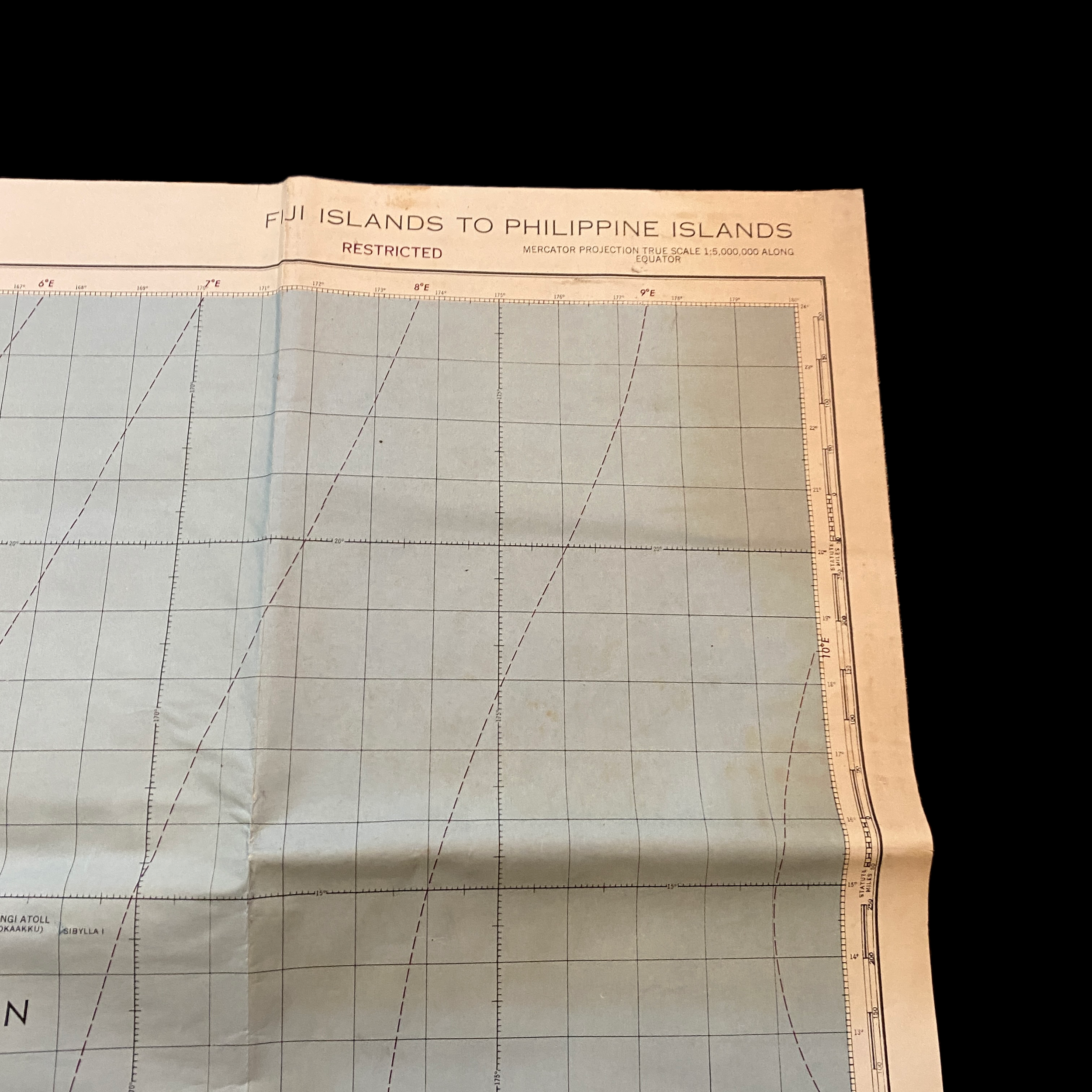
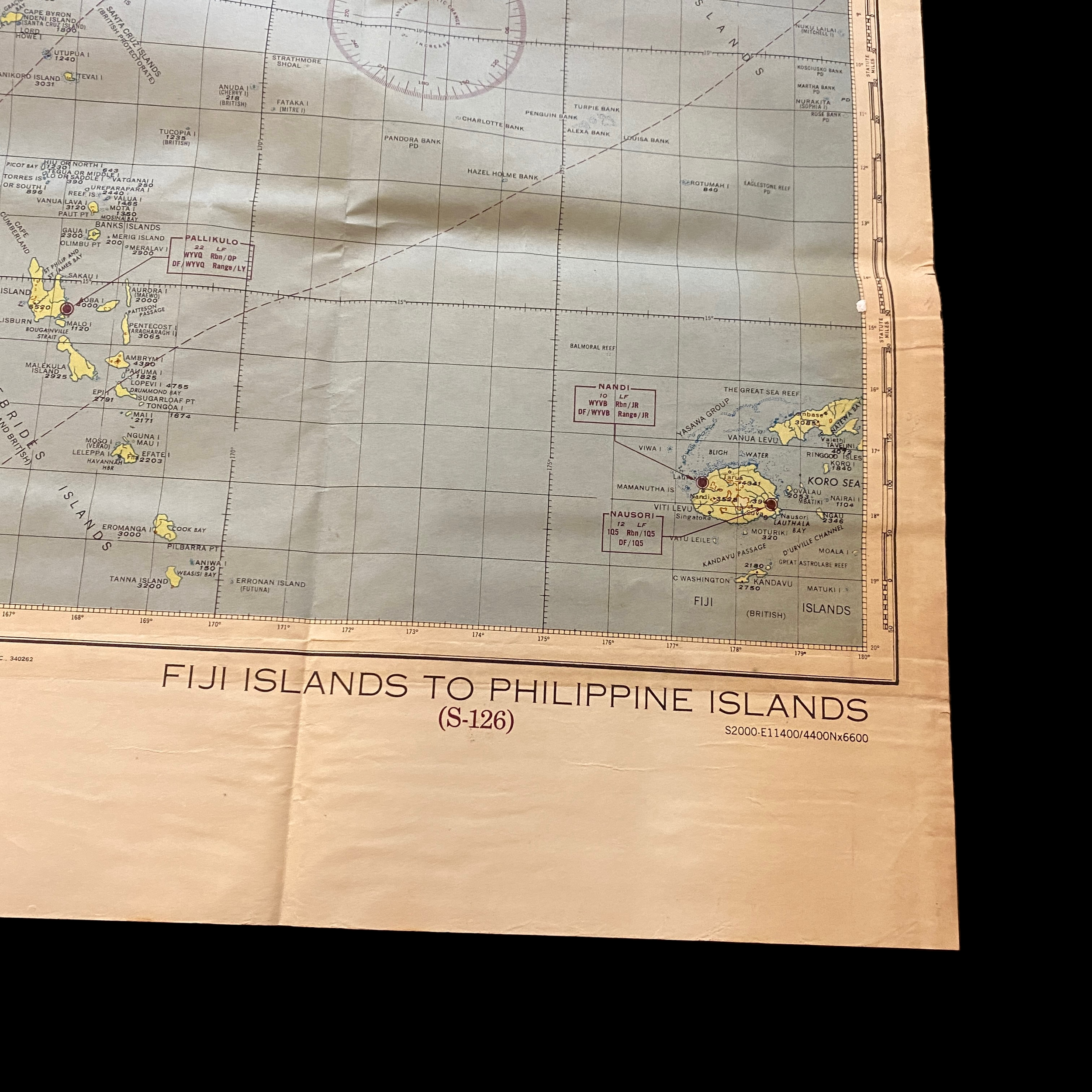

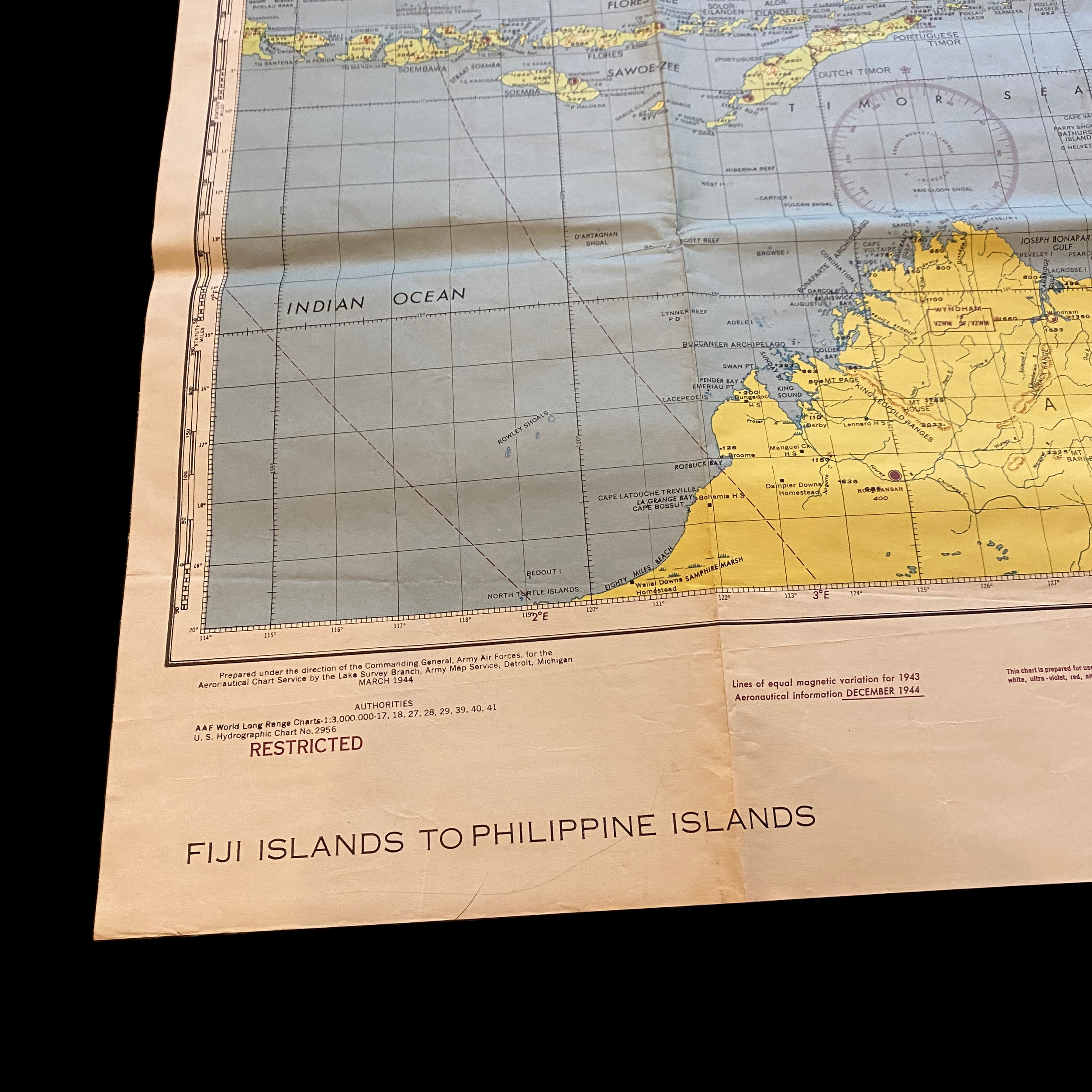
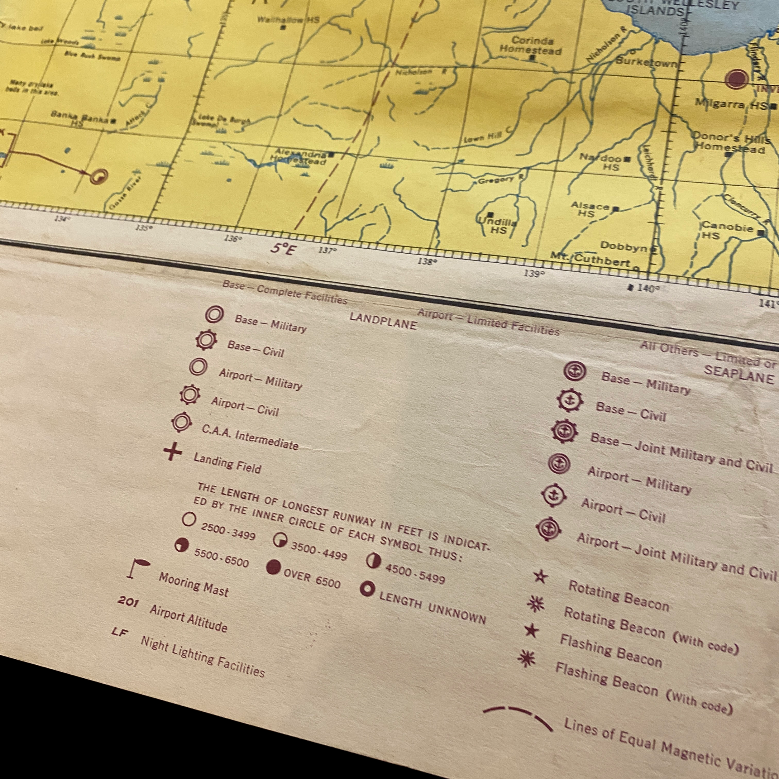
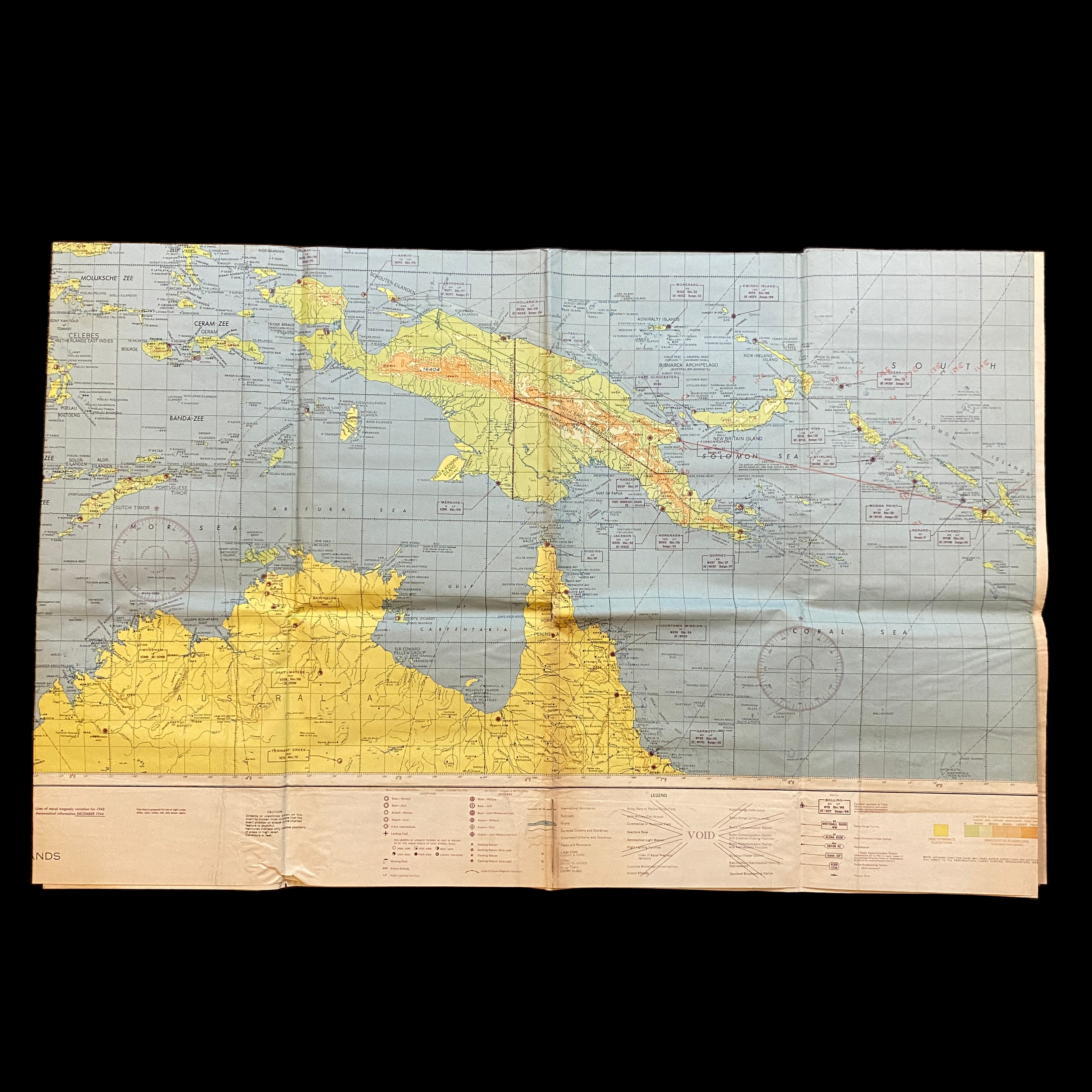
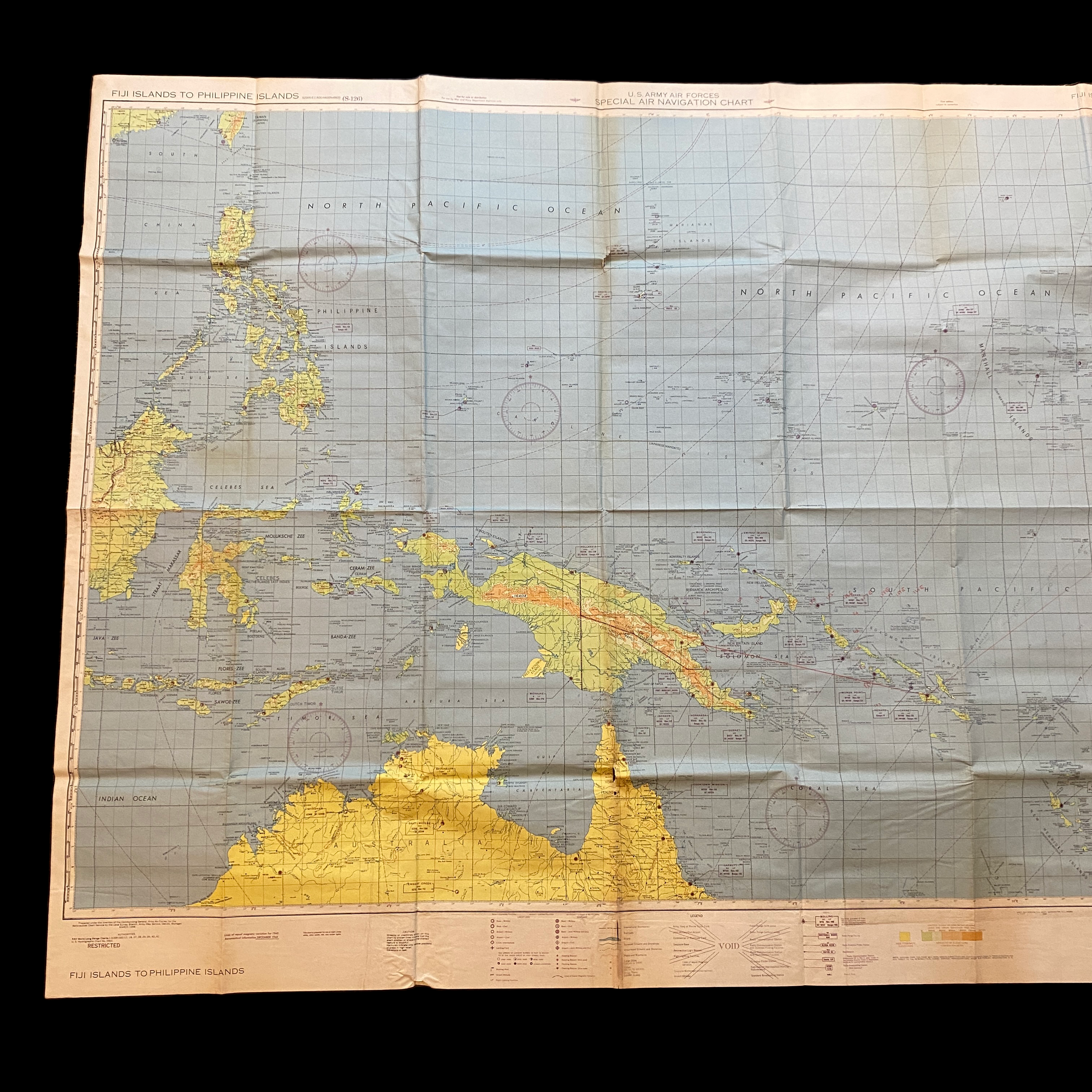







WWII ‘RESTRICTED’ GUADALCANAL & NEW GUINEA Mission Marked B-24, B-25, B-26 Navigators Target Navigational Map
Comes with hand-signed C.O.A.
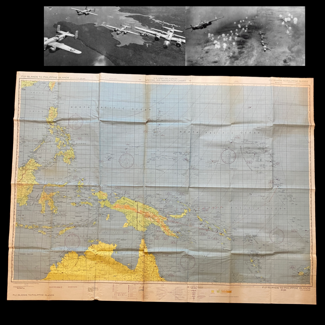
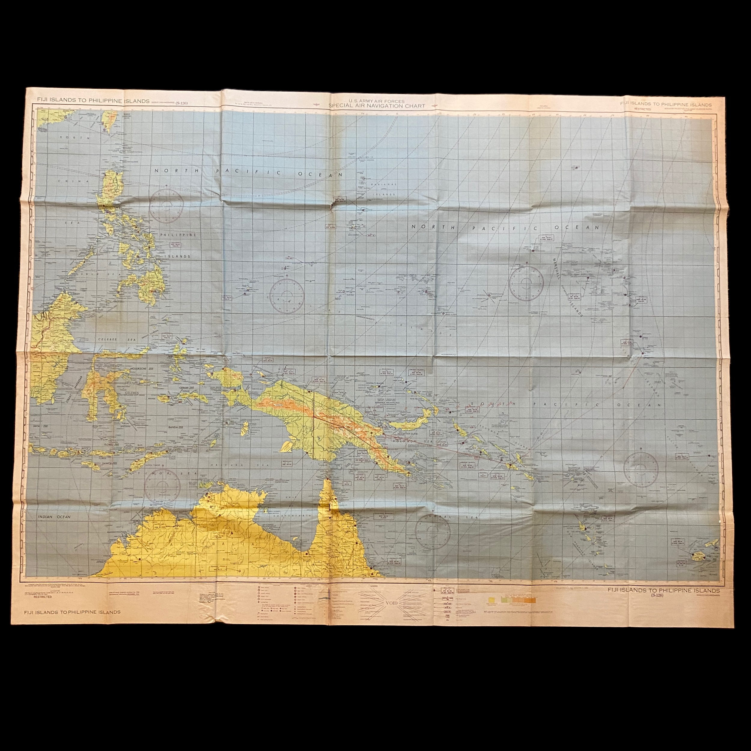
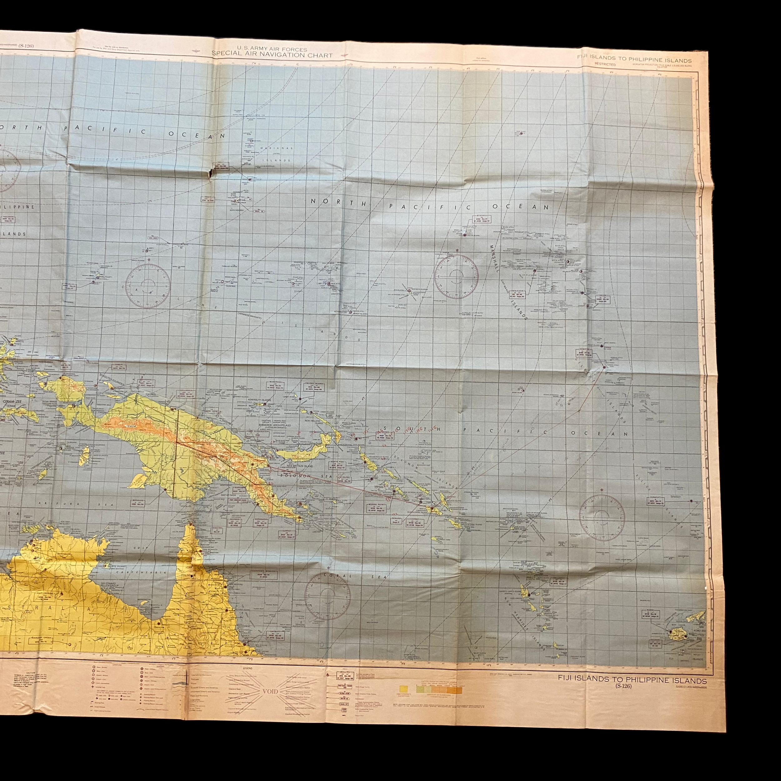
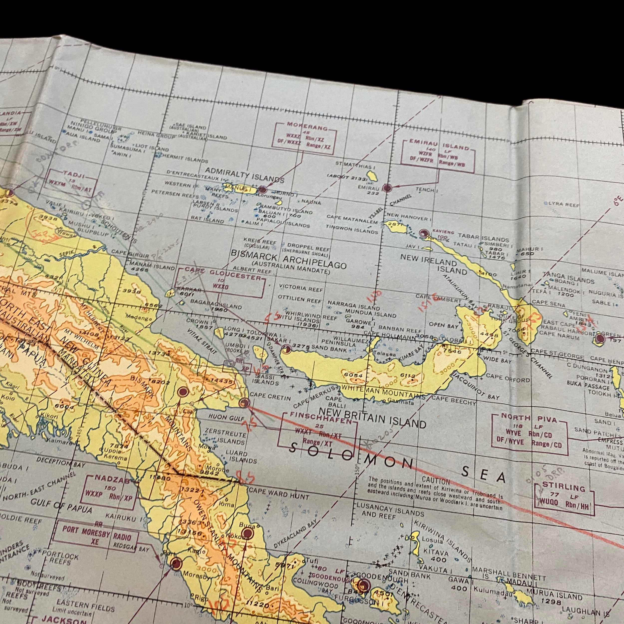
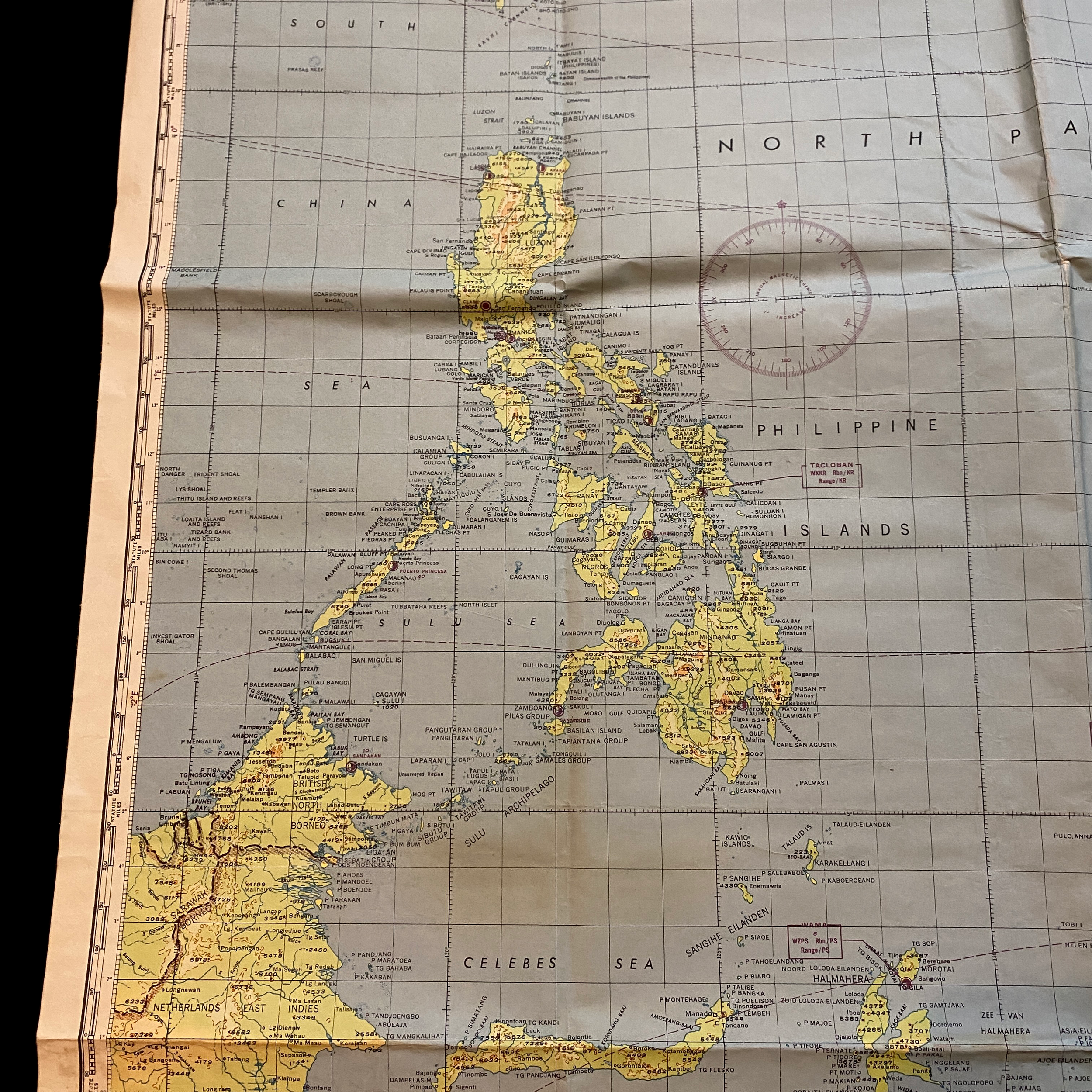
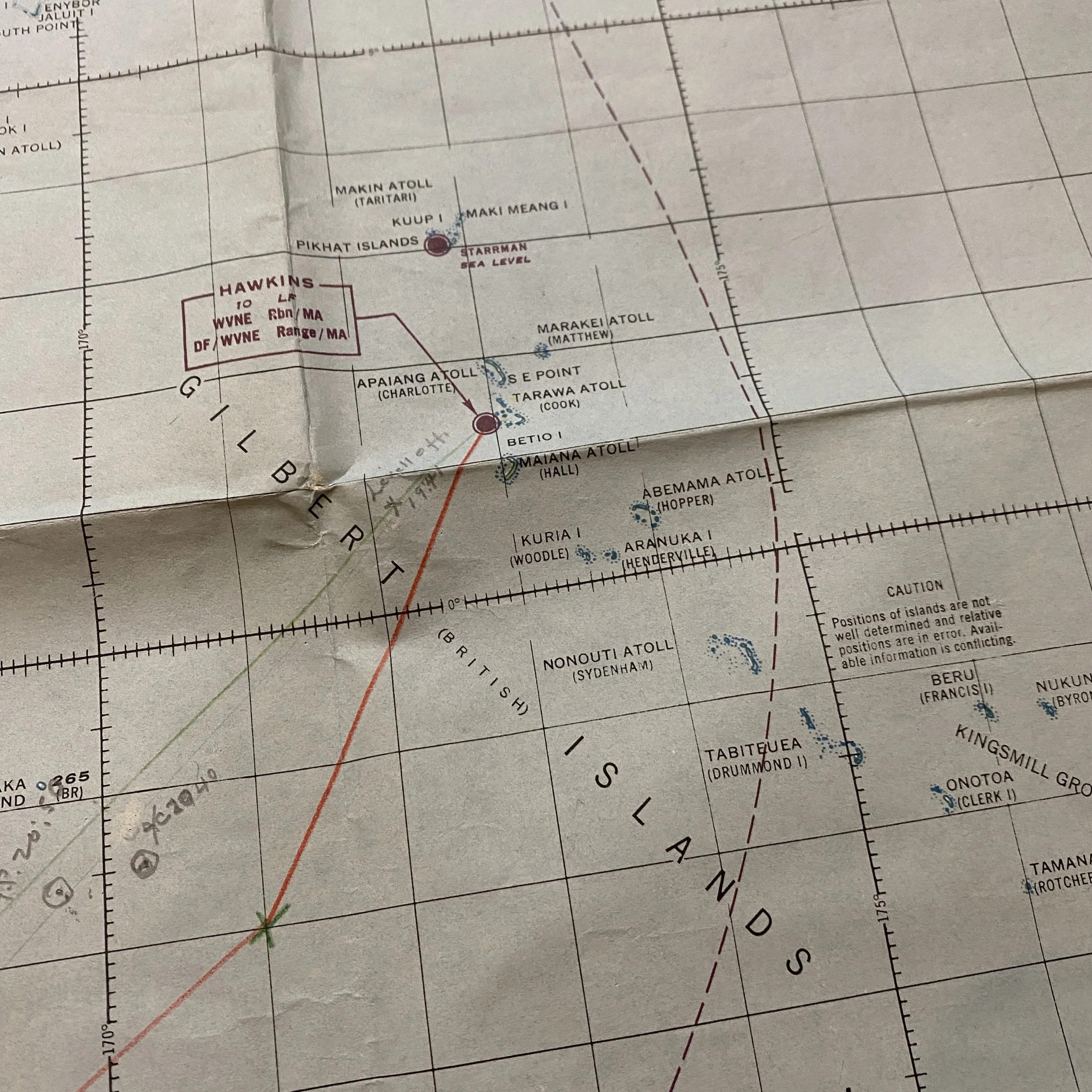
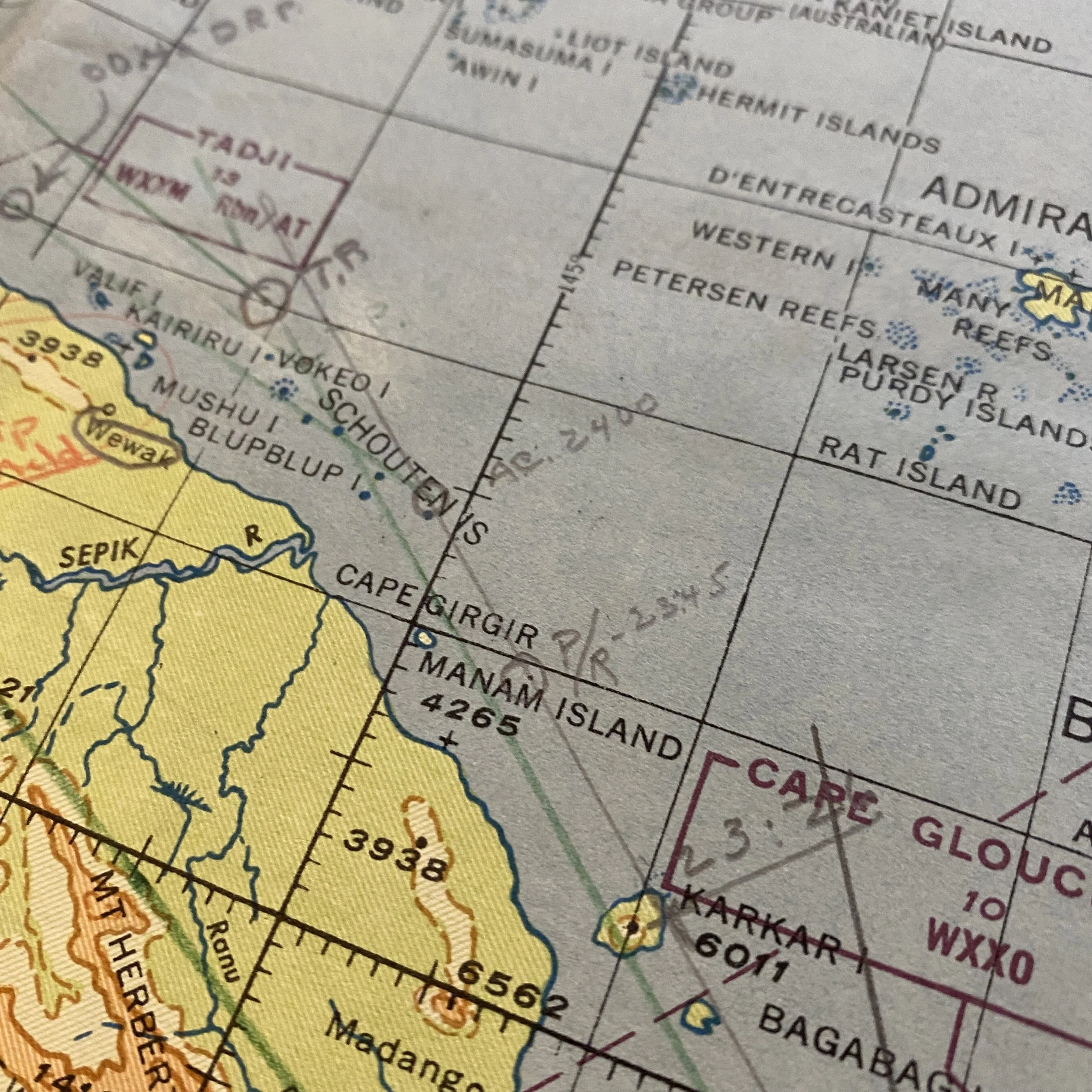
Extremely Large Bombing Navigators Mission Plotting Chart. This map is filled with navigational hand annotations and flight paths of the U.S. bomber this was used on during WWII. These navigational flight lines are marked on GUADALCANAL, the GILBERT ISLANDS, BIAK, and lots of mission marking around NEW GUINEA.
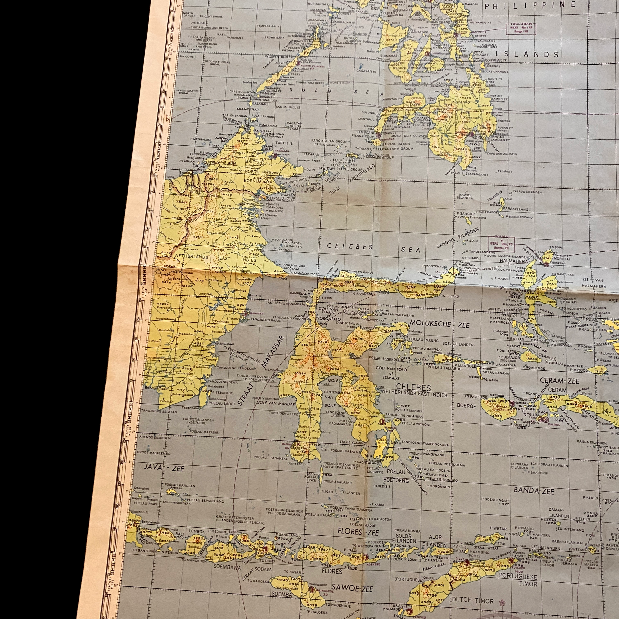
This incredible and museum-grade WWII B-24, B-25, B-26 Pacific Theater map was used by U.S. navigators while operating in the Pacific Theater of Operations. Marked “RESTRICTED” this operations map was changed to “RESTRICTED” while being used in that combat theater. This navigational map is updated and dated as of DECEMBER 1944 and shows heavy missions marking around GUADALCANAL and NEW GUINEA.
These navigator maps were printed extremely large. They were meant to be folded in multiple ways as the bombers moved from island to island using the placements on the map the compass heading to mark and denote the flight path to target or runway. With multiple places on the map for the bombing navigator to place the aerial navigational compass, this map was intended for a wide range of use for bombers and U.S. planes across all of the Pacific Islands. This map played an extremely vital part of the war and was heavily used by a U.S. bomber navigators in the Pacific Theater.