Original WWII 1945 USAAF B-29 Kamikaze Base Aerial Target Map - Miyazaki Japan Operation Olympic
Original WWII 1945 USAAF B-29 Kamikaze Base Aerial Target Map - Miyazaki Japan Operation Olympic
Comes with a C.O.A.
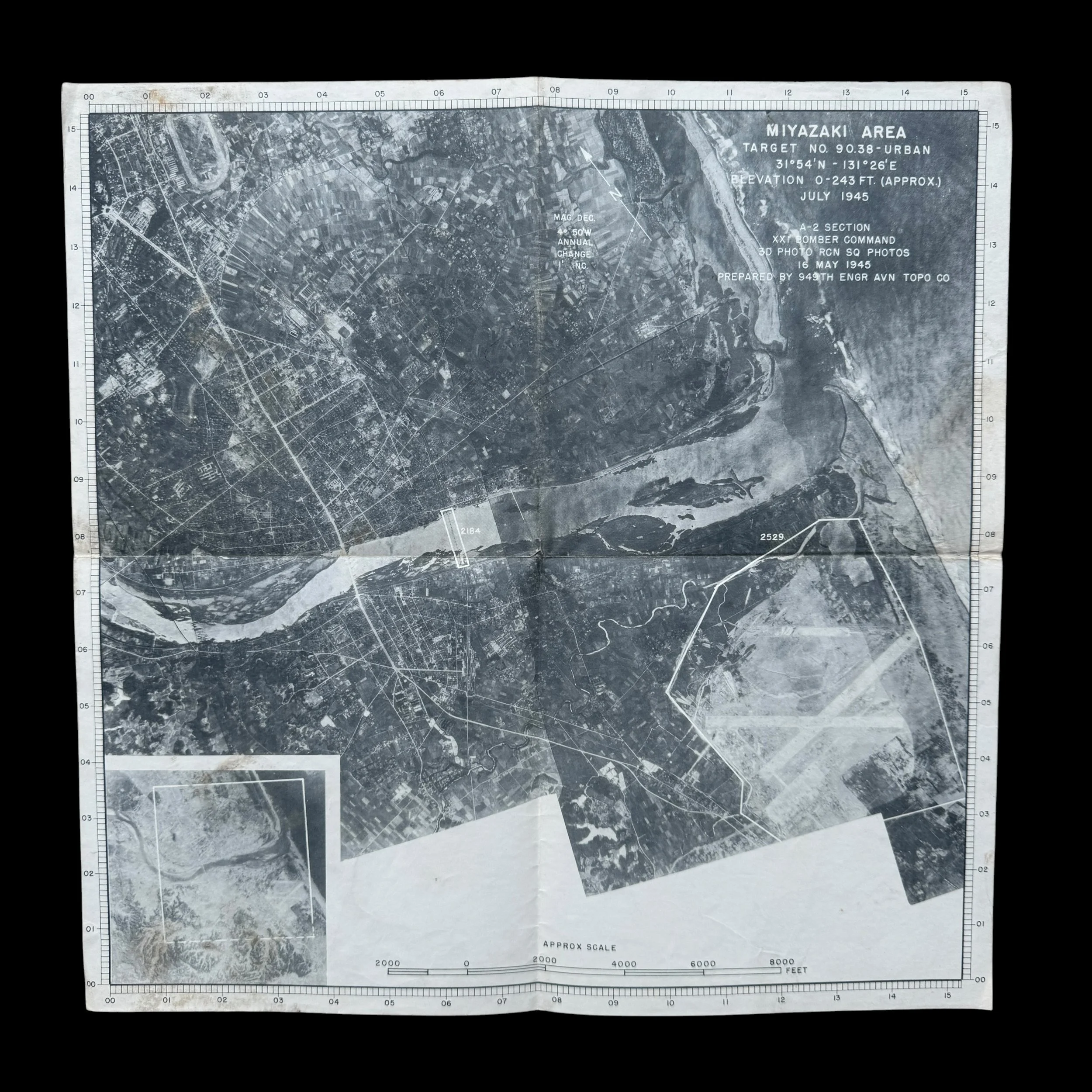
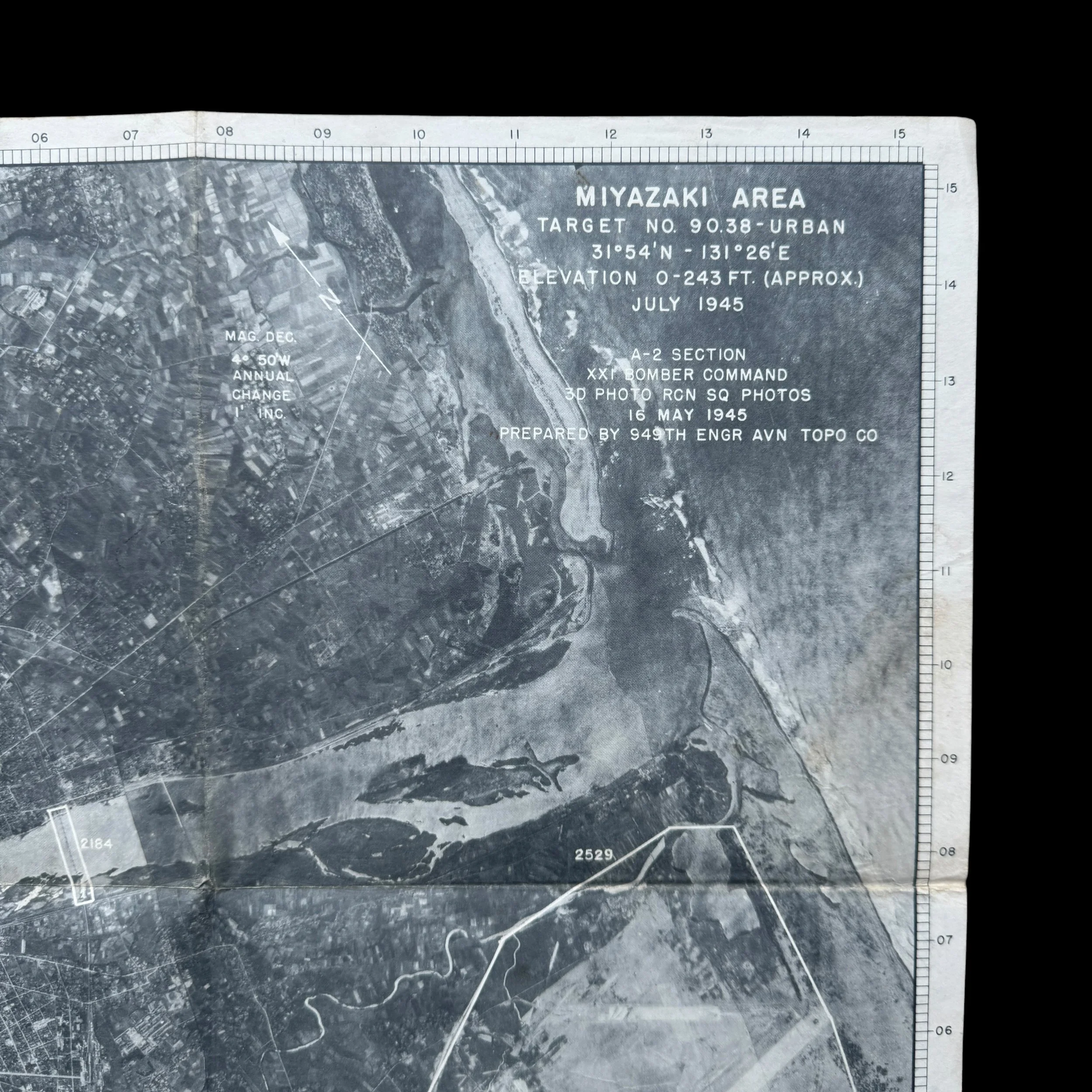
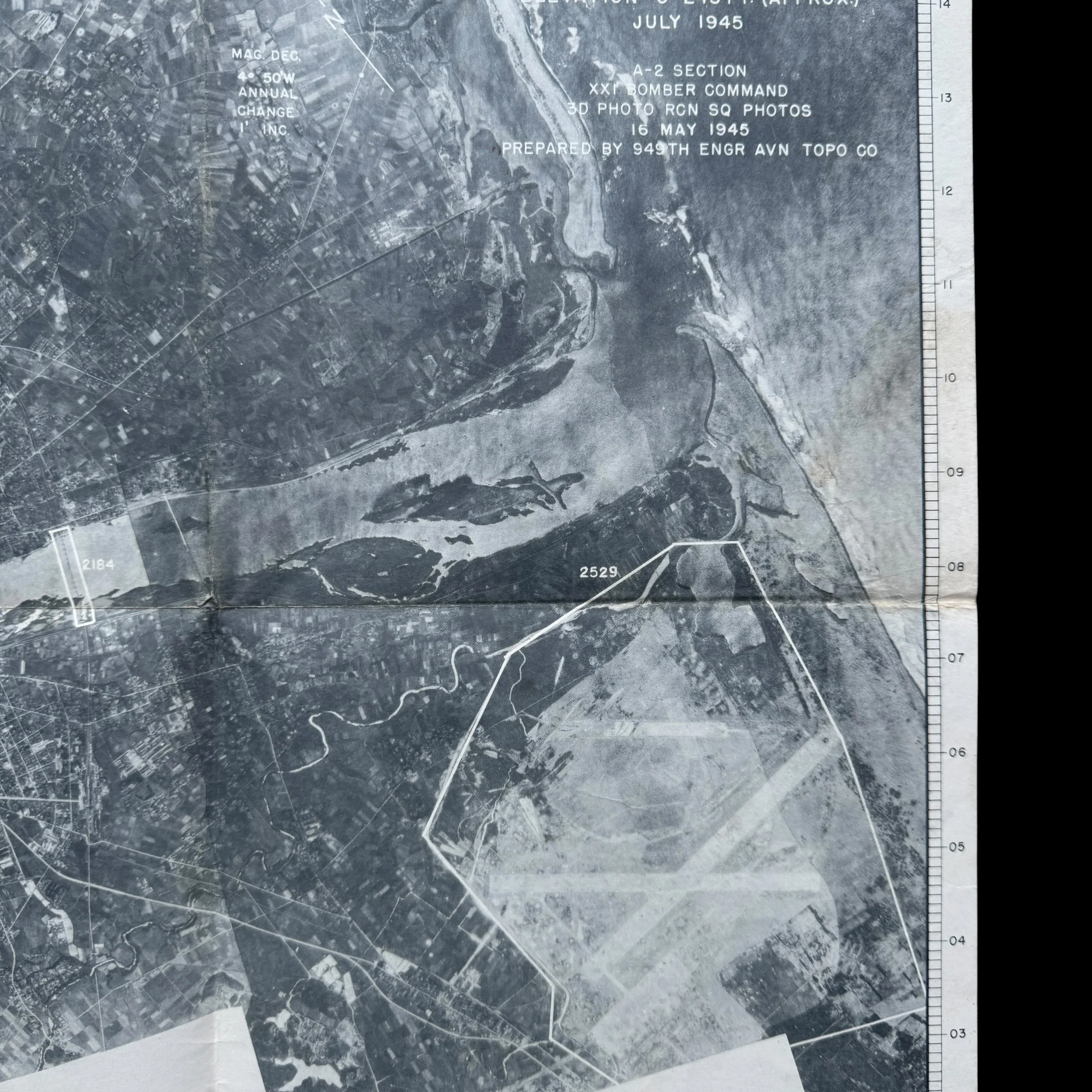
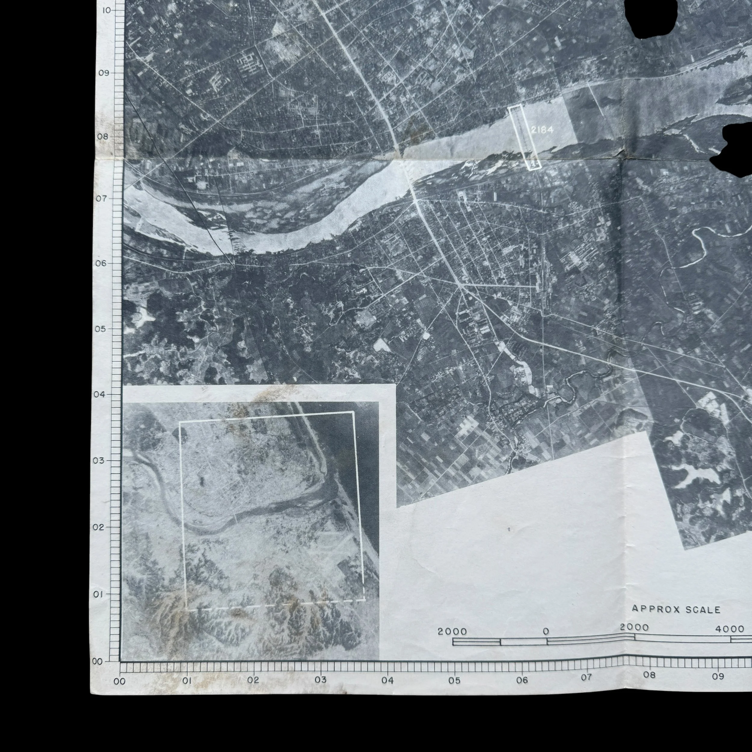
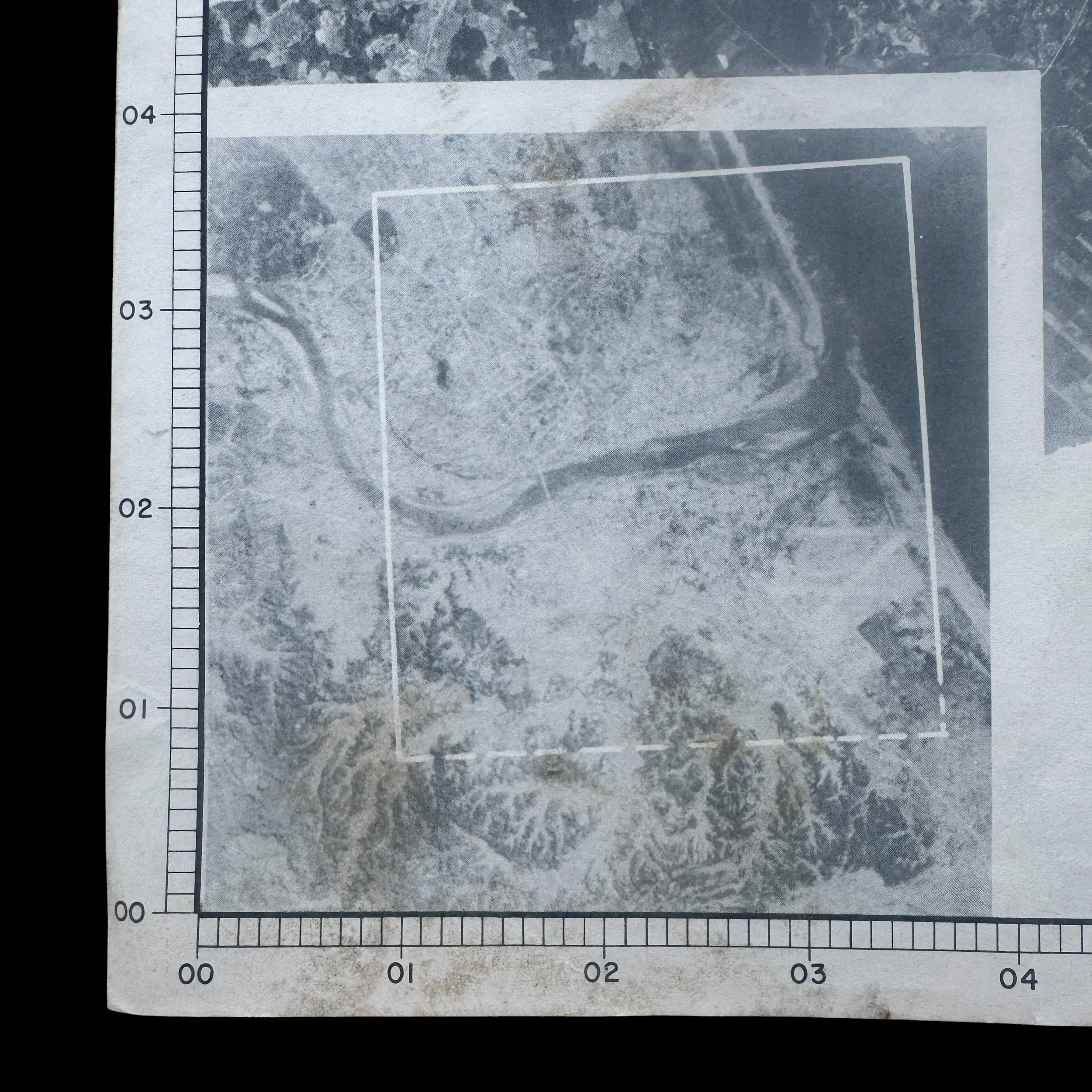
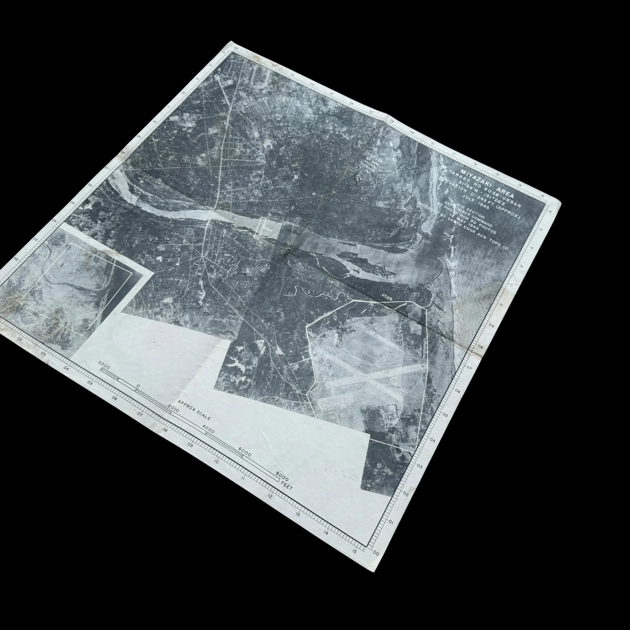
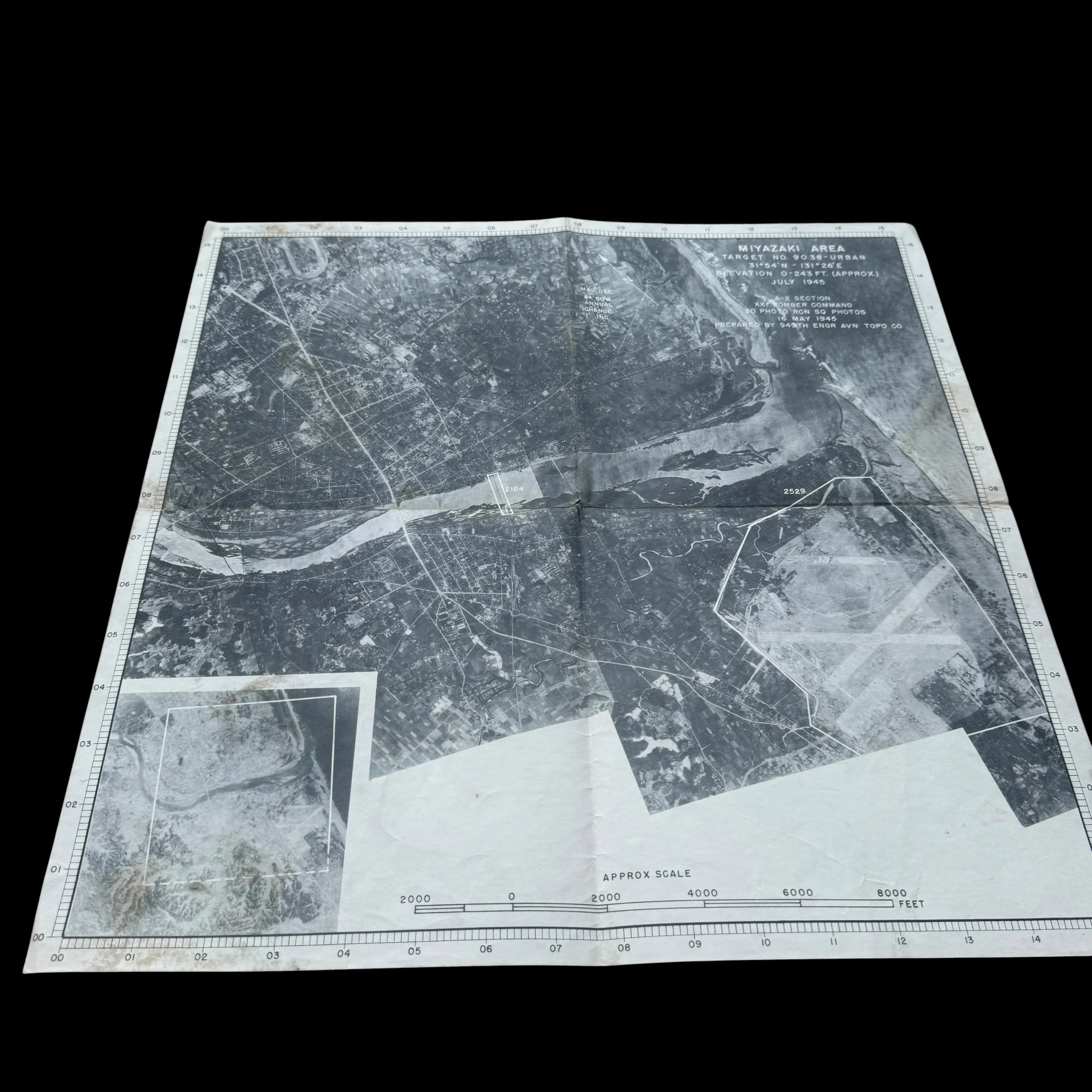
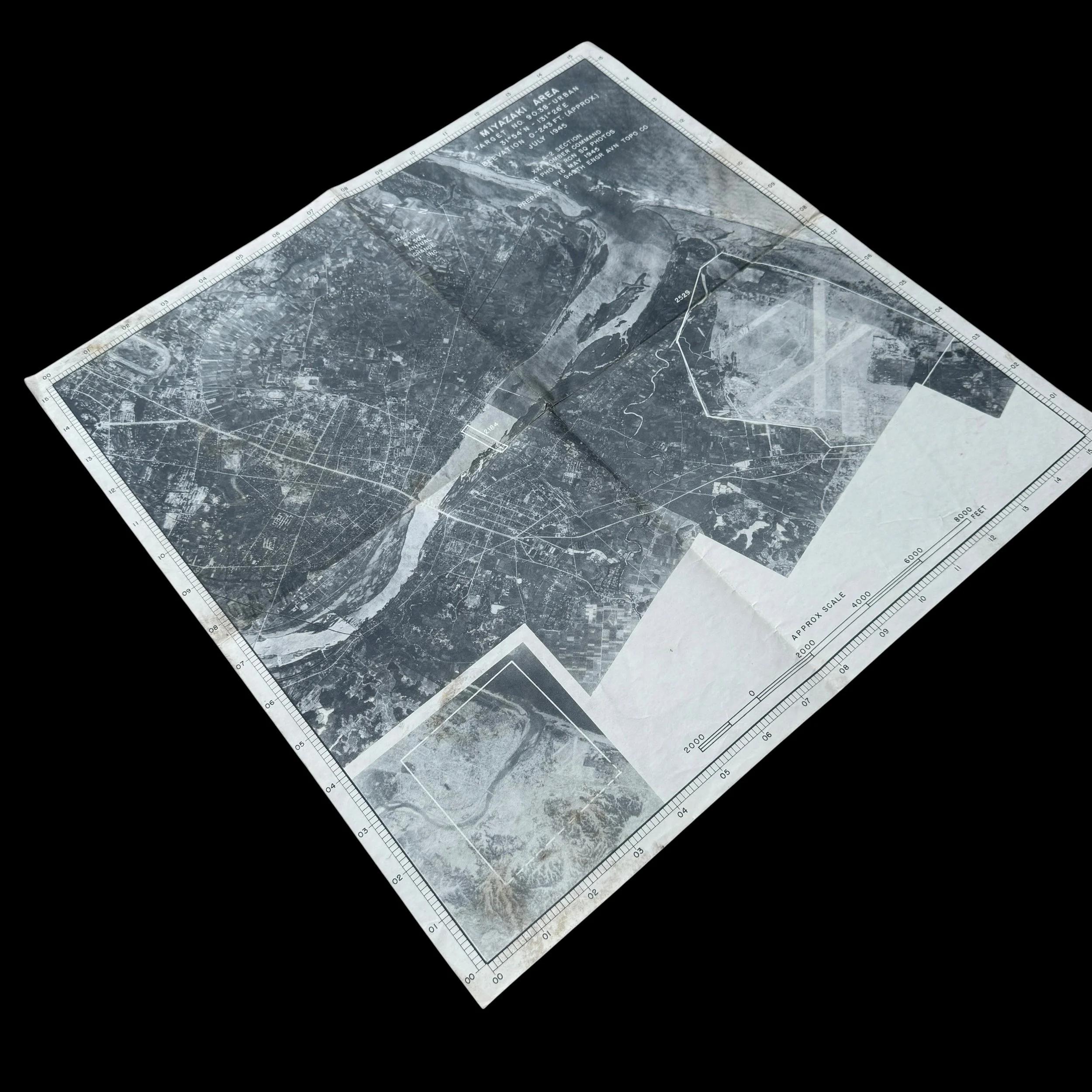
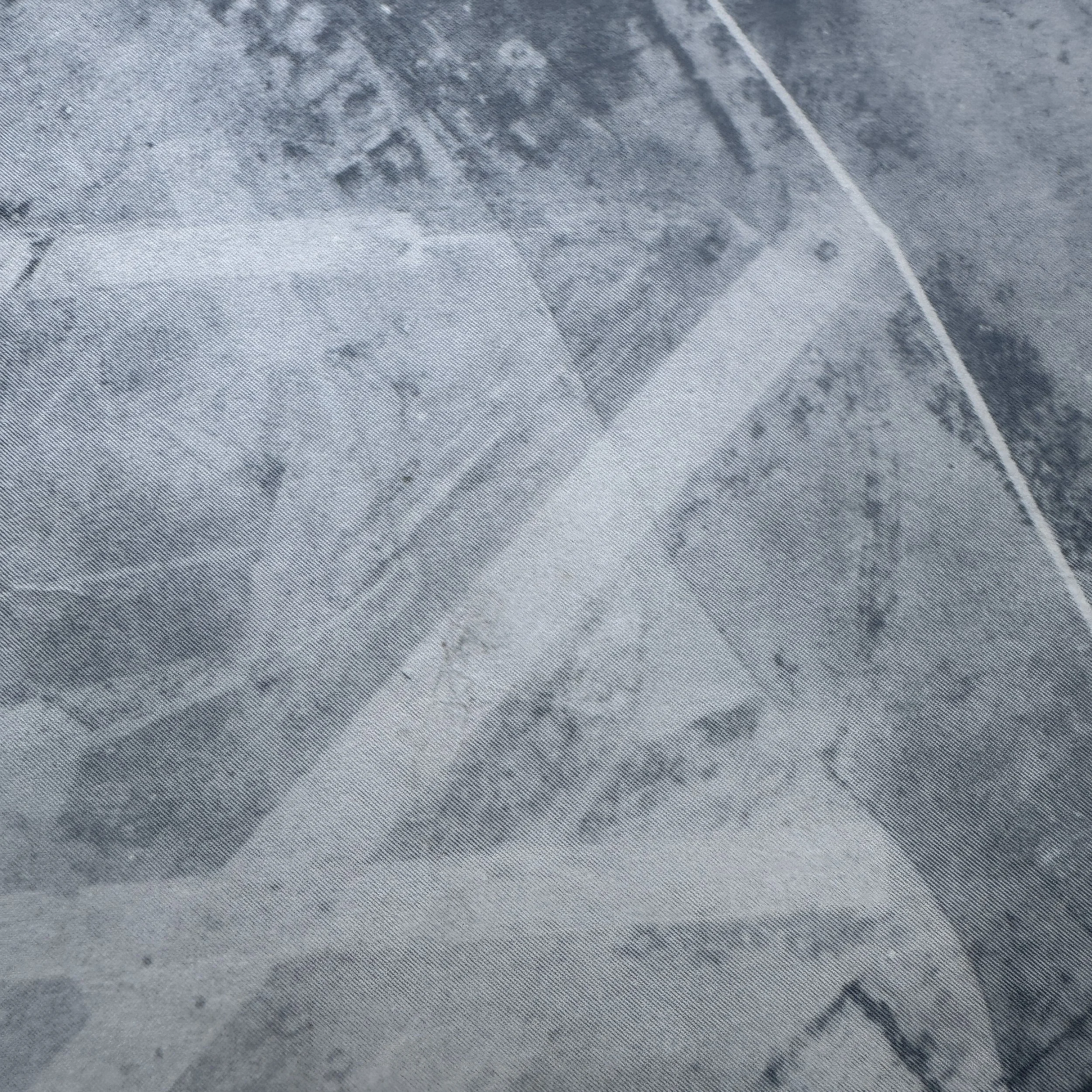
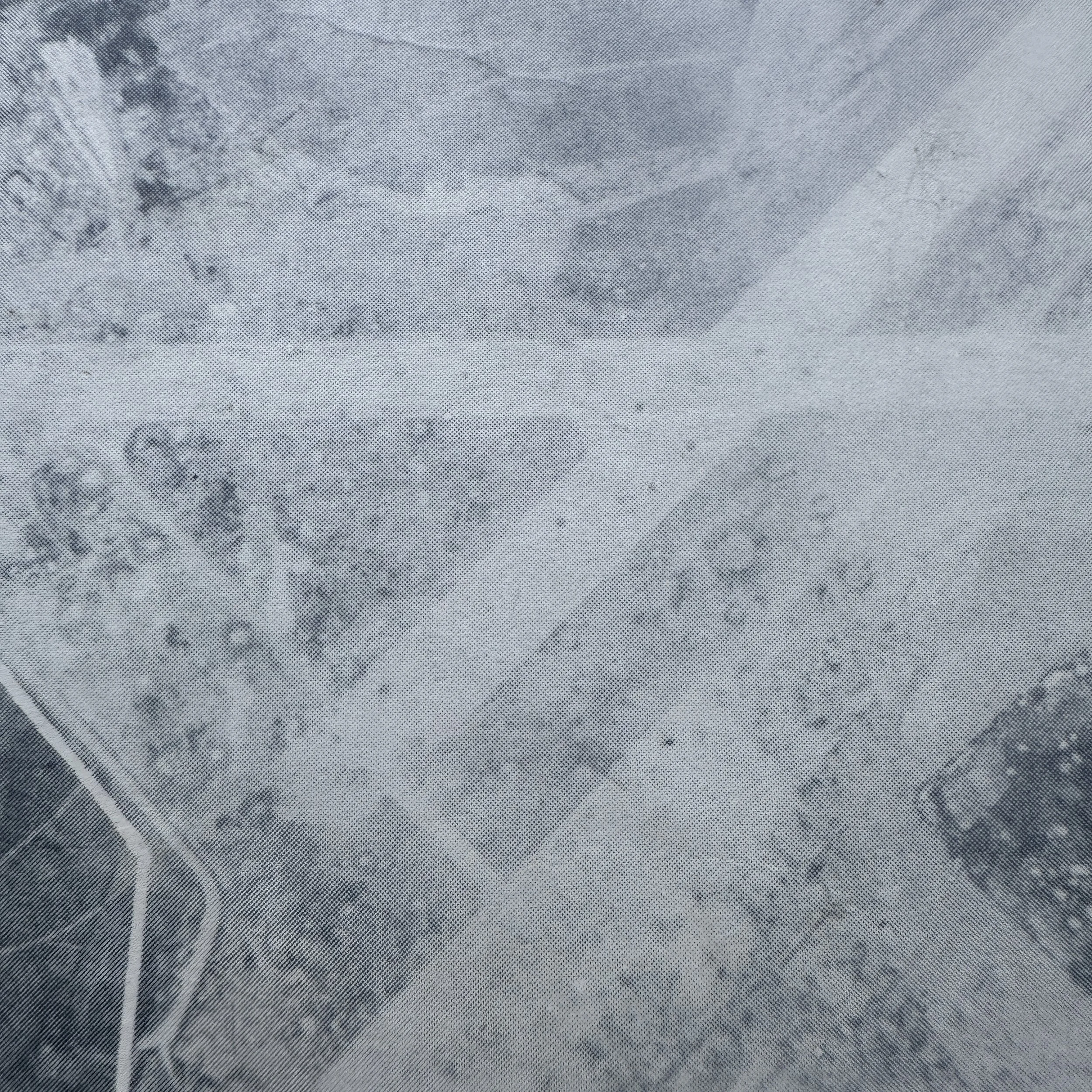
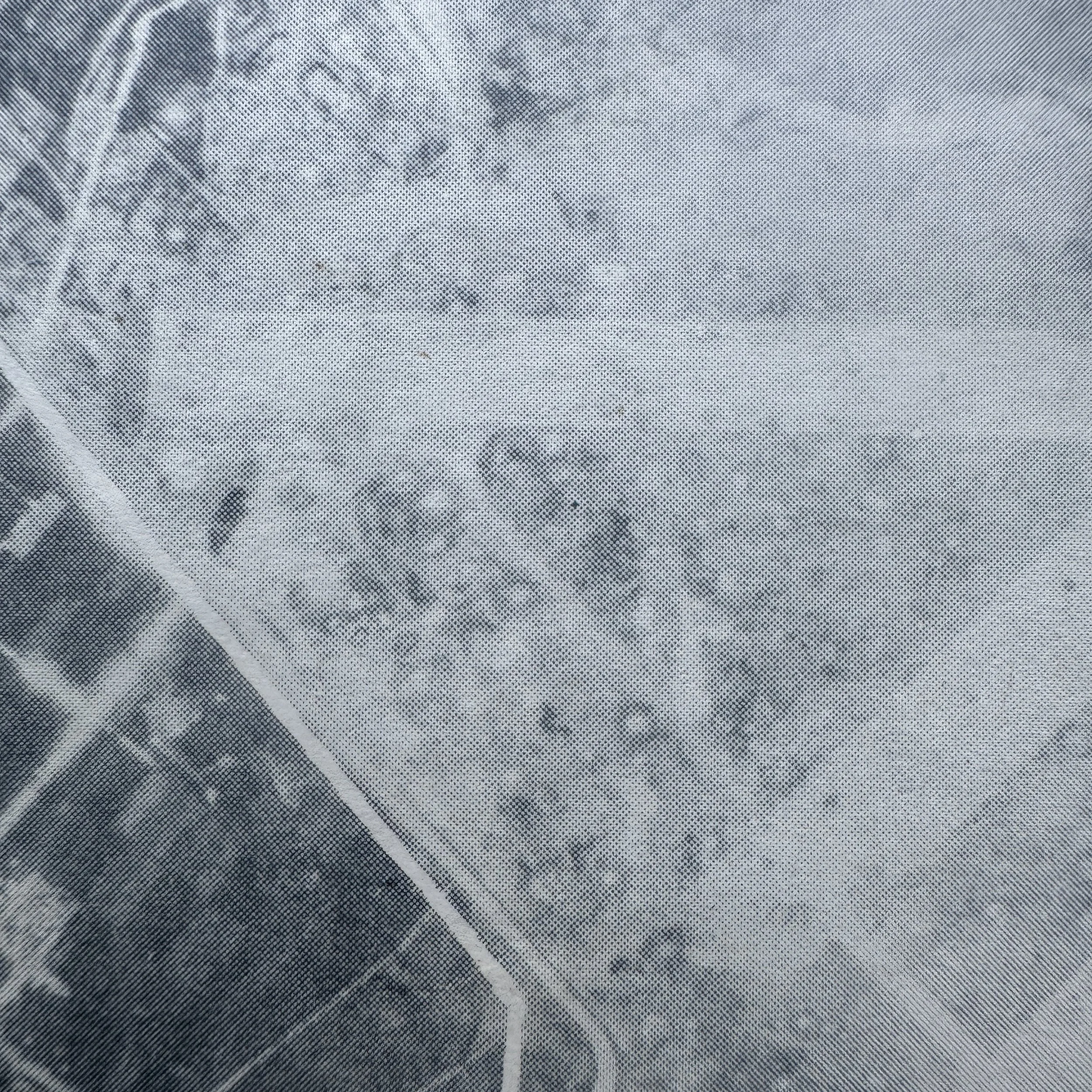
This artifact is a highly detailed World War II-era United States Army Air Forces (USAAF) aerial photographic target map (often called a "target mosaic") of Miyazaki, a city located on the eastern coast of Kyushu, Japan. Specifically, it was produced for the strategic bombing campaign against the Japanese home islands in the final months of the Pacific War.
Artifact Breakdown and Visible Data
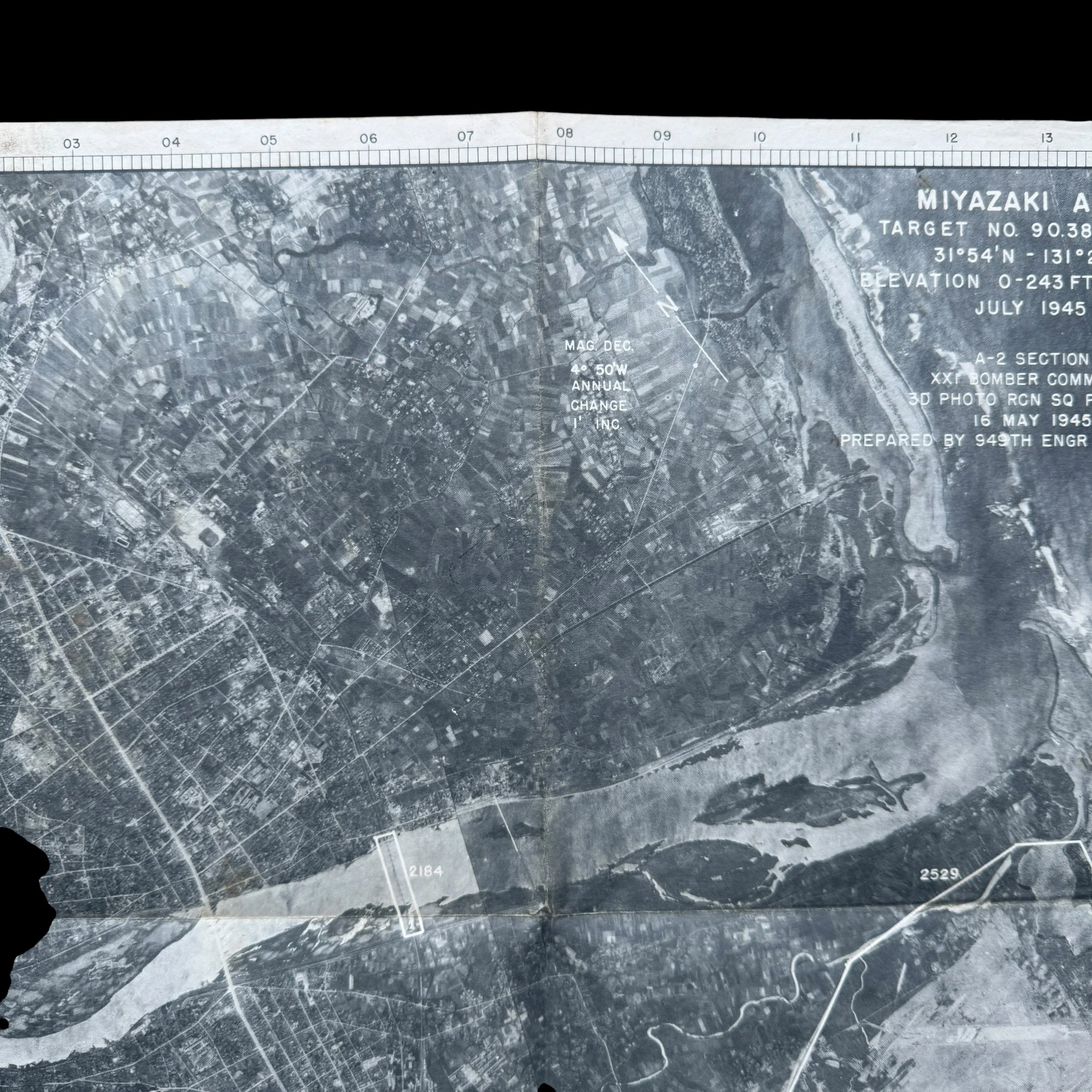
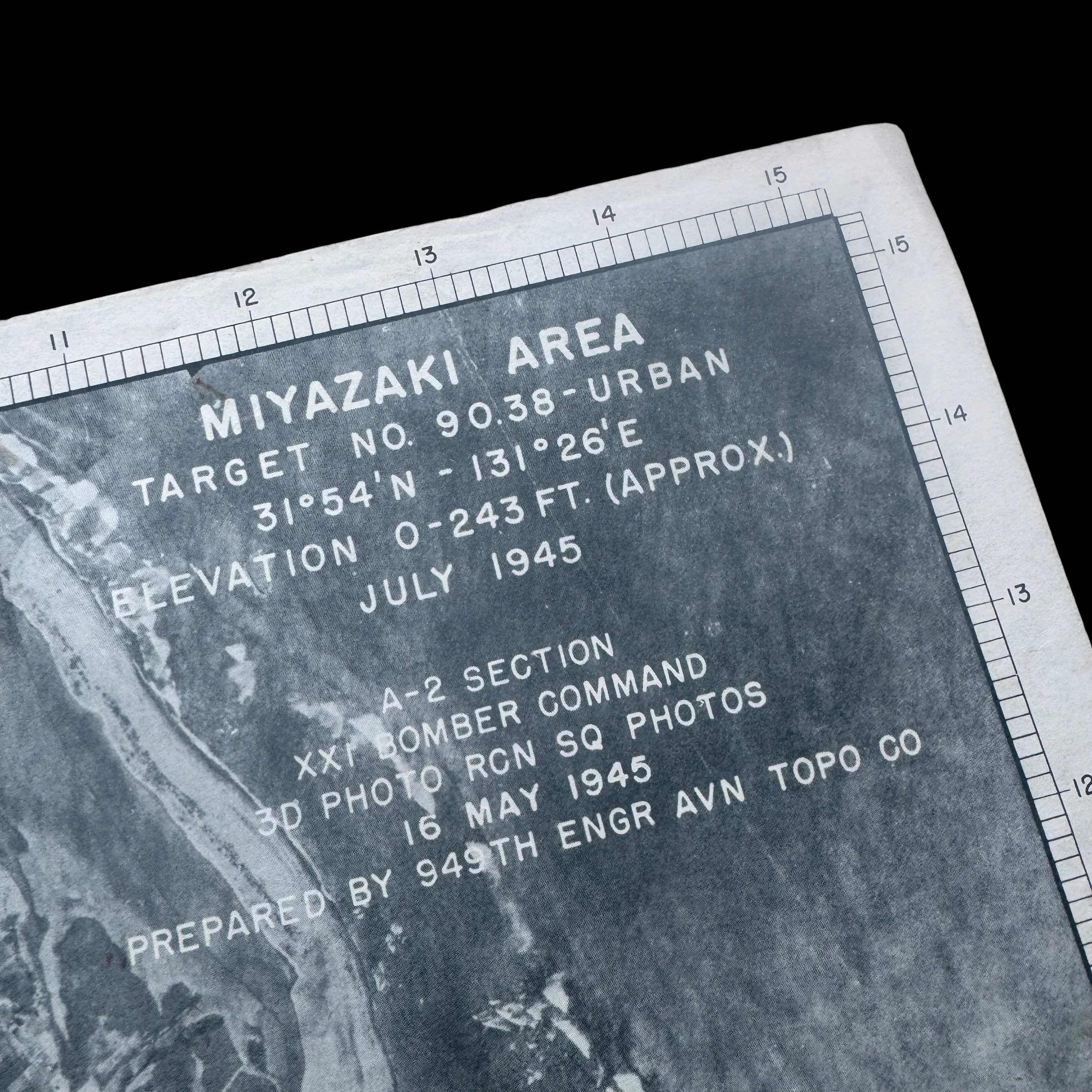
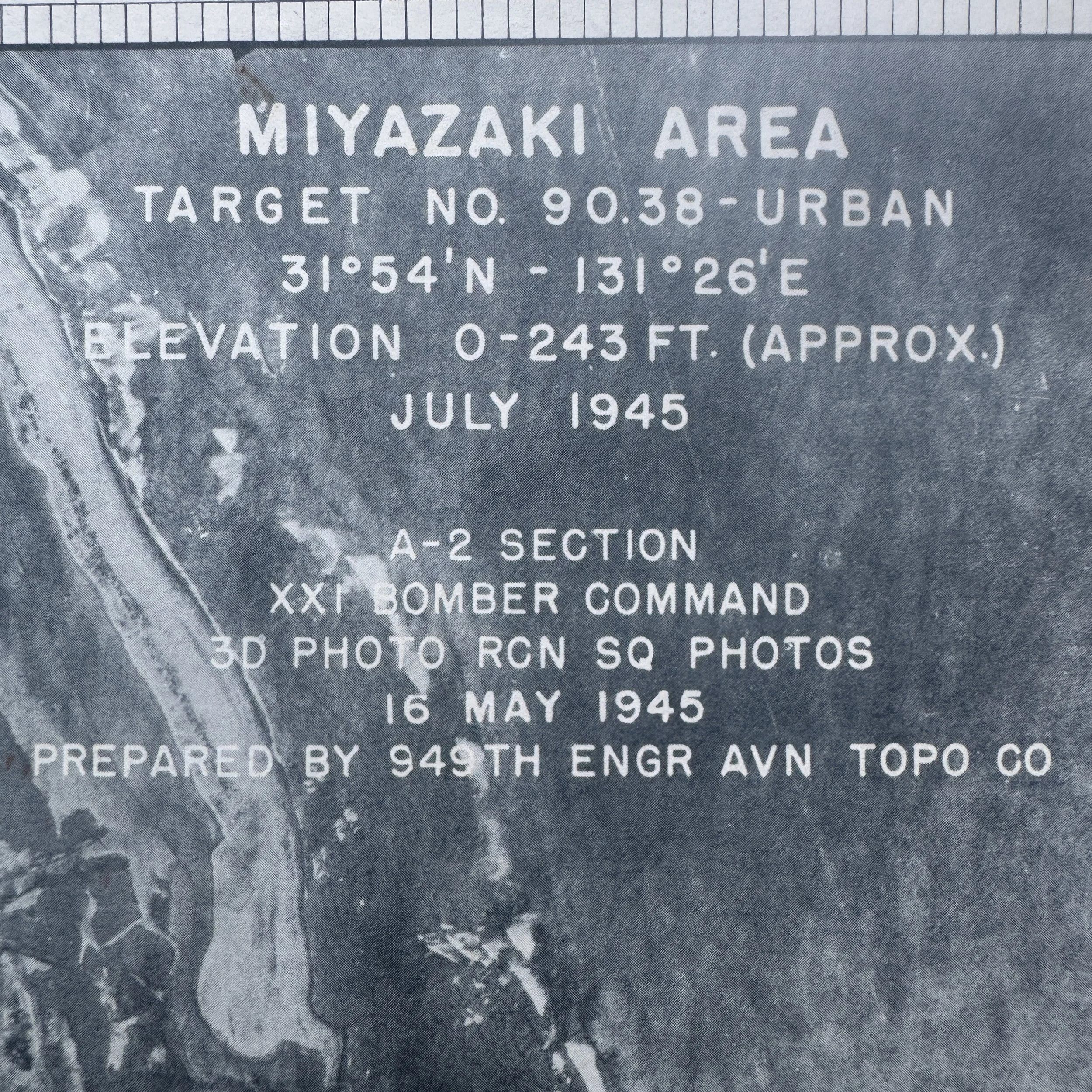
The primary legend block on the map provides a wealth of historical intelligence regarding the document's origins and purpose:
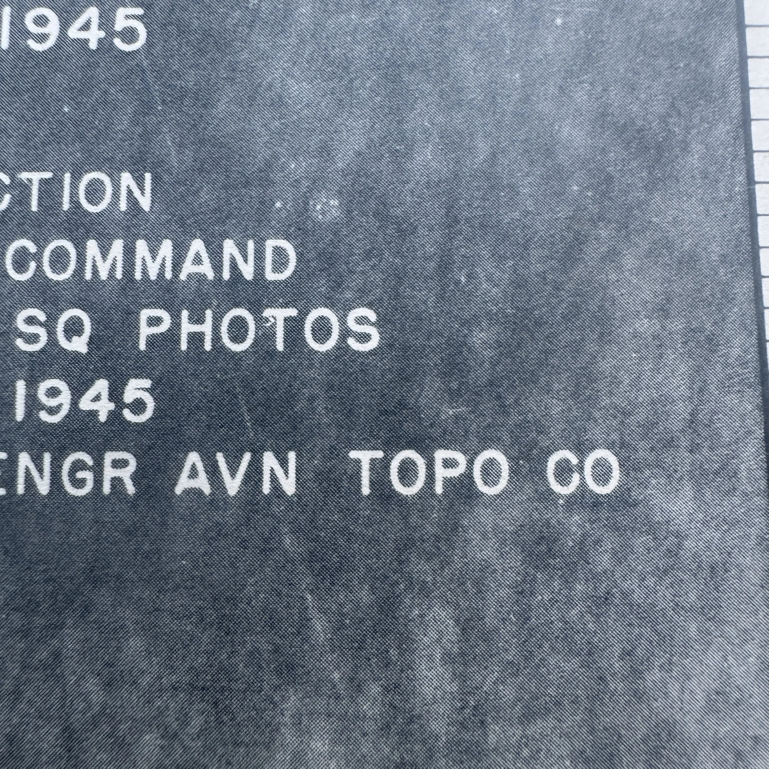
Target Identification: The map labels the primary area as "MIYAZAKI AREA" and "TARGET NO. 90.38 - URBAN". This indicates that the urban center of Miyazaki was designated as an area target, typically for incendiary bombing raids designed to destroy industrial capacity intermingled with residential zones.
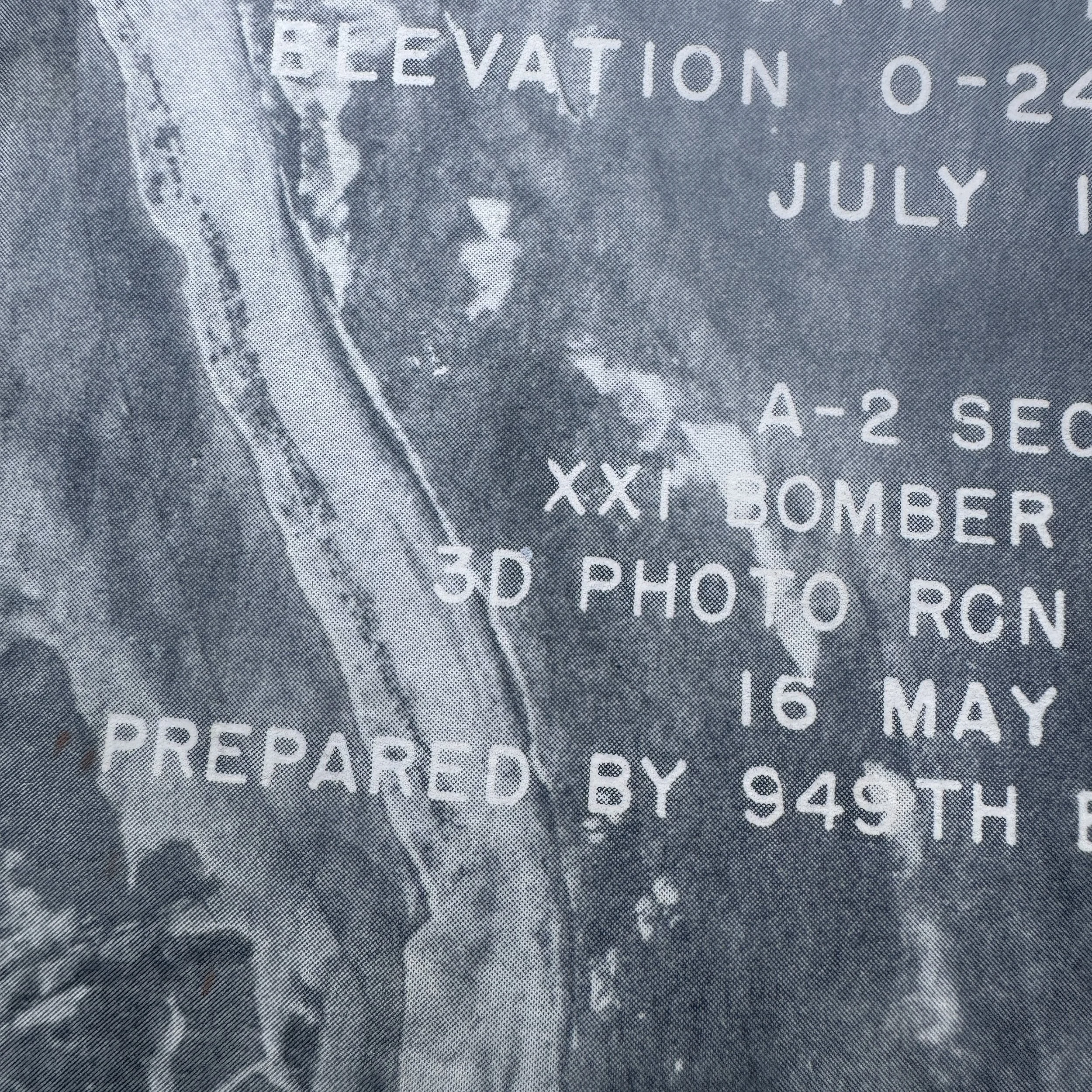
Coordinates & Elevation: The location is pinpointed at 31°54'N - 131°26'E, with an approximate elevation of 0-243 feet.
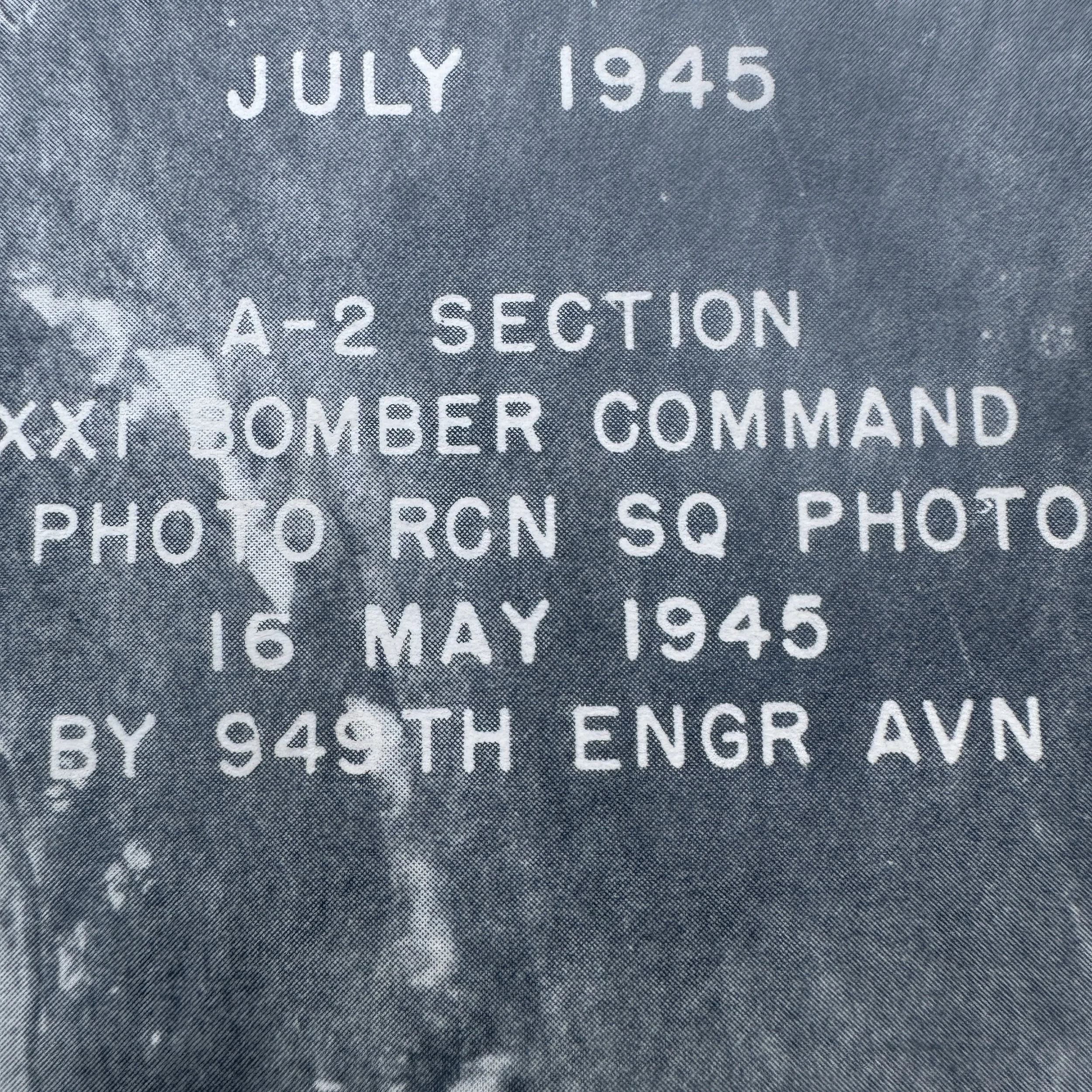
Dates: The map itself was prepared in "JULY 1945". However, the source aerial photography was taken two months earlier, on "16 MAY 1945".
Producing Units:
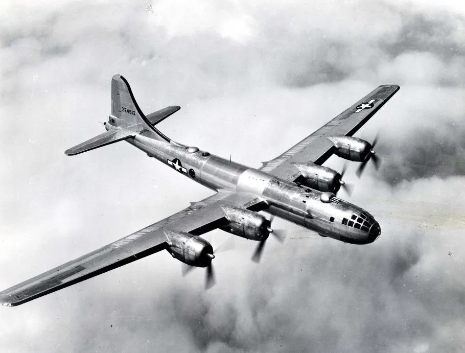
A-2 SECTION, XXI BOMBER COMMAND: The A-2 section was the military intelligence branch. The XXI Bomber Command was the formidable B-29 Superfortress force based in the Mariana Islands (Guam, Saipan, and Tinian), commanded by Major General Curtis LeMay.
3D PHOTO RCN SQ PHOTOS: The aerial photographs were taken by the 3rd Photo Reconnaissance Squadron. This unit operated F-13 aircraft, which were heavily modified, stripped-down B-29s equipped with high-resolution camera bays instead of bombs.
949TH ENGR AVN TOPO CO: The 949th Engineer Aviation Topographic Company was responsible for developing the film, stitching the aerial photographs together, and printing the overlaid navigational graphics.
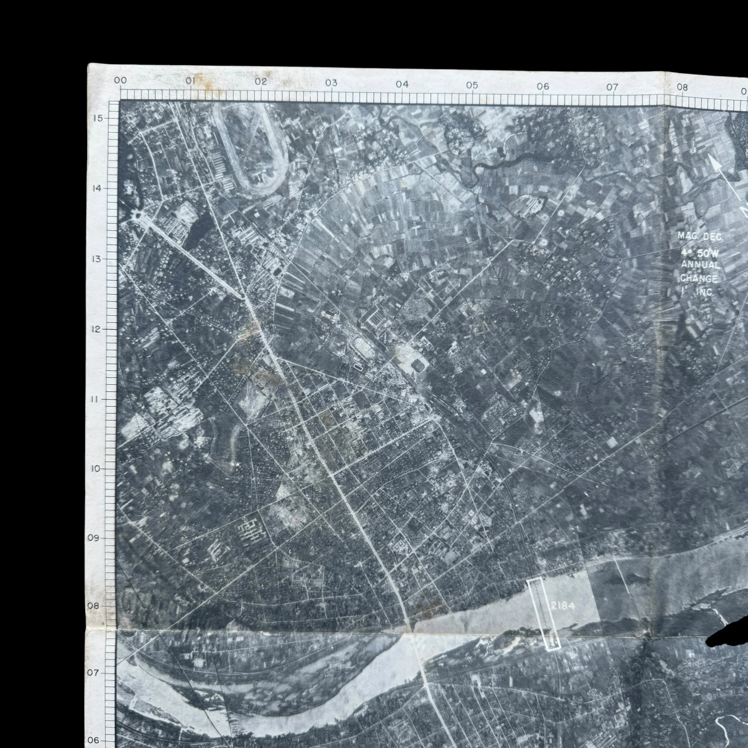
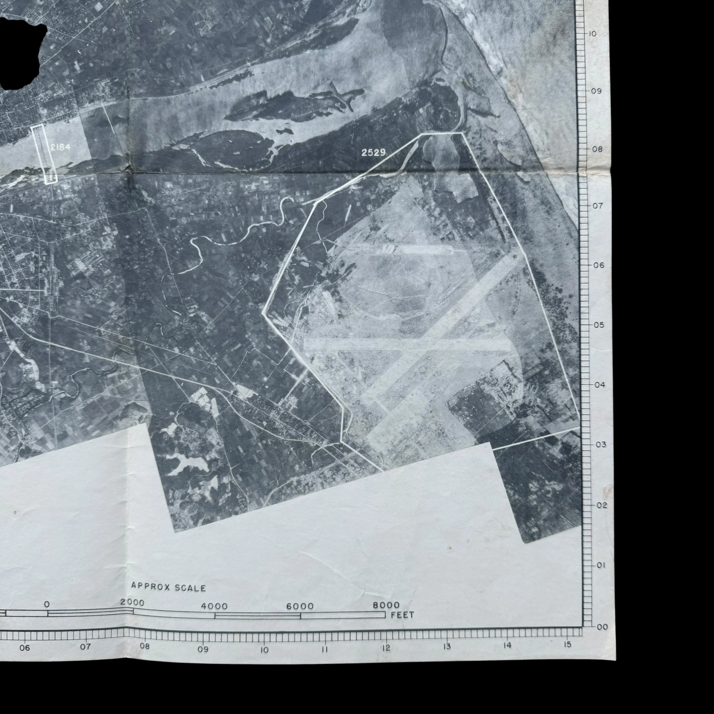
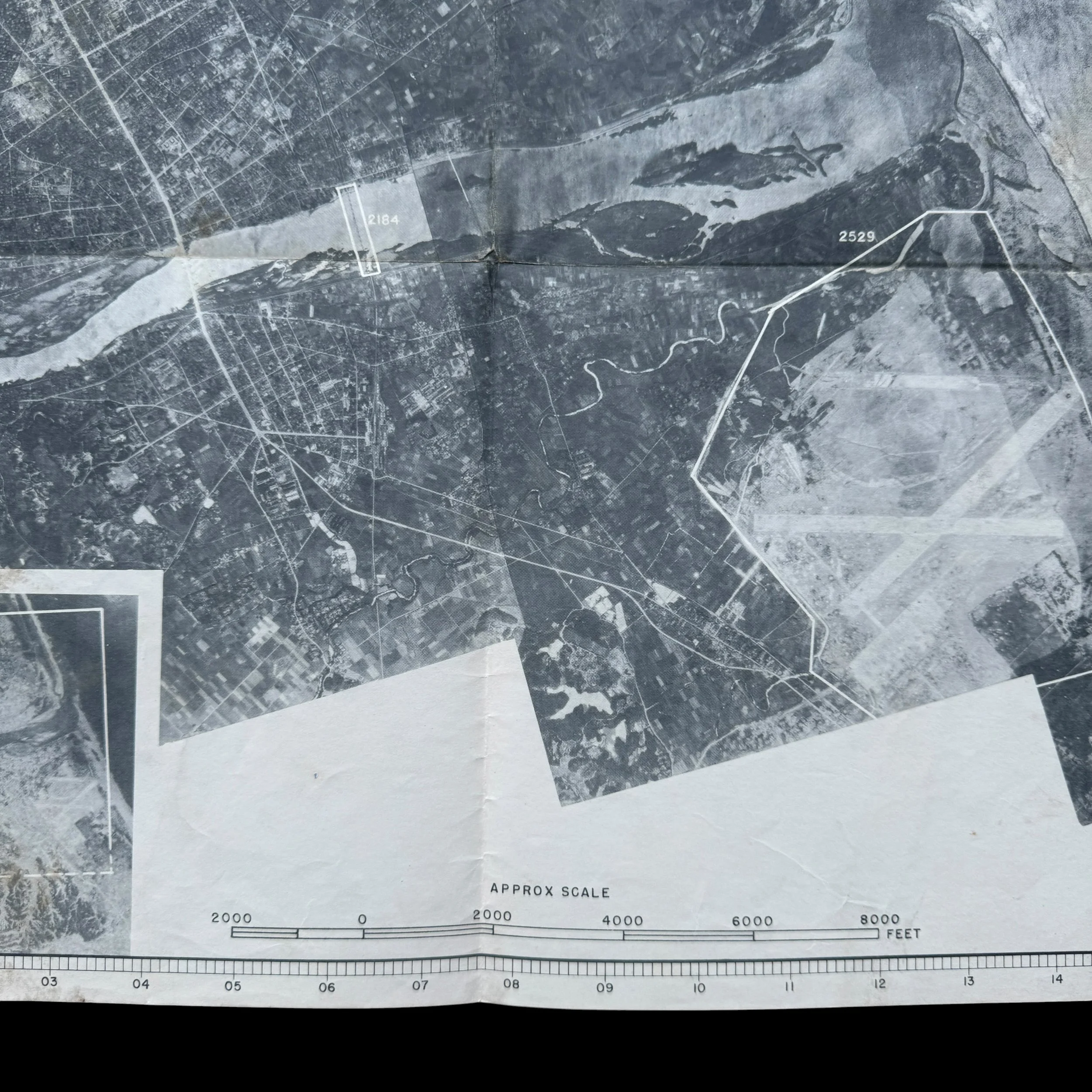
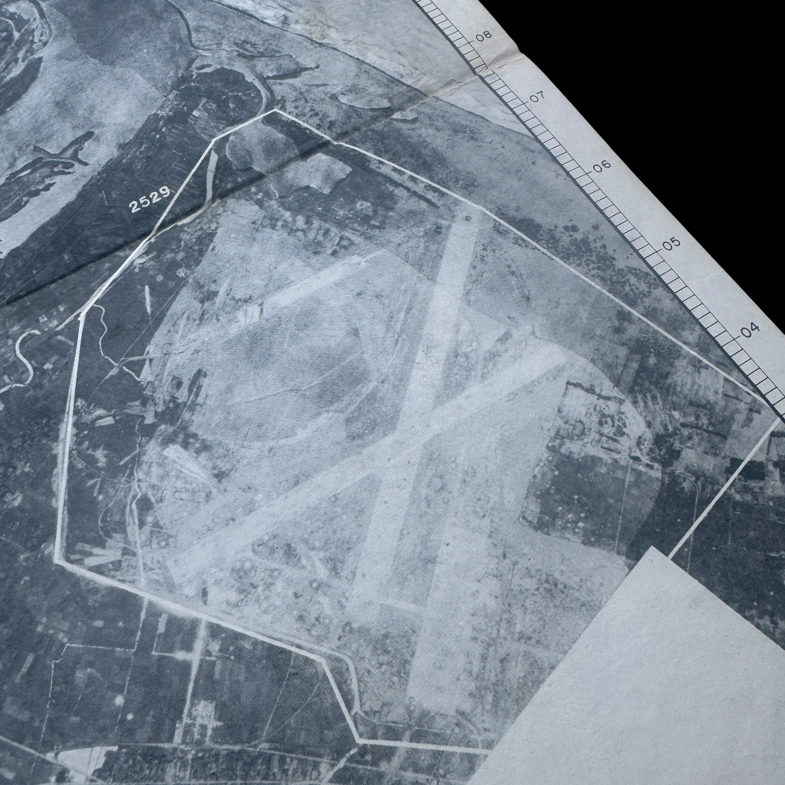
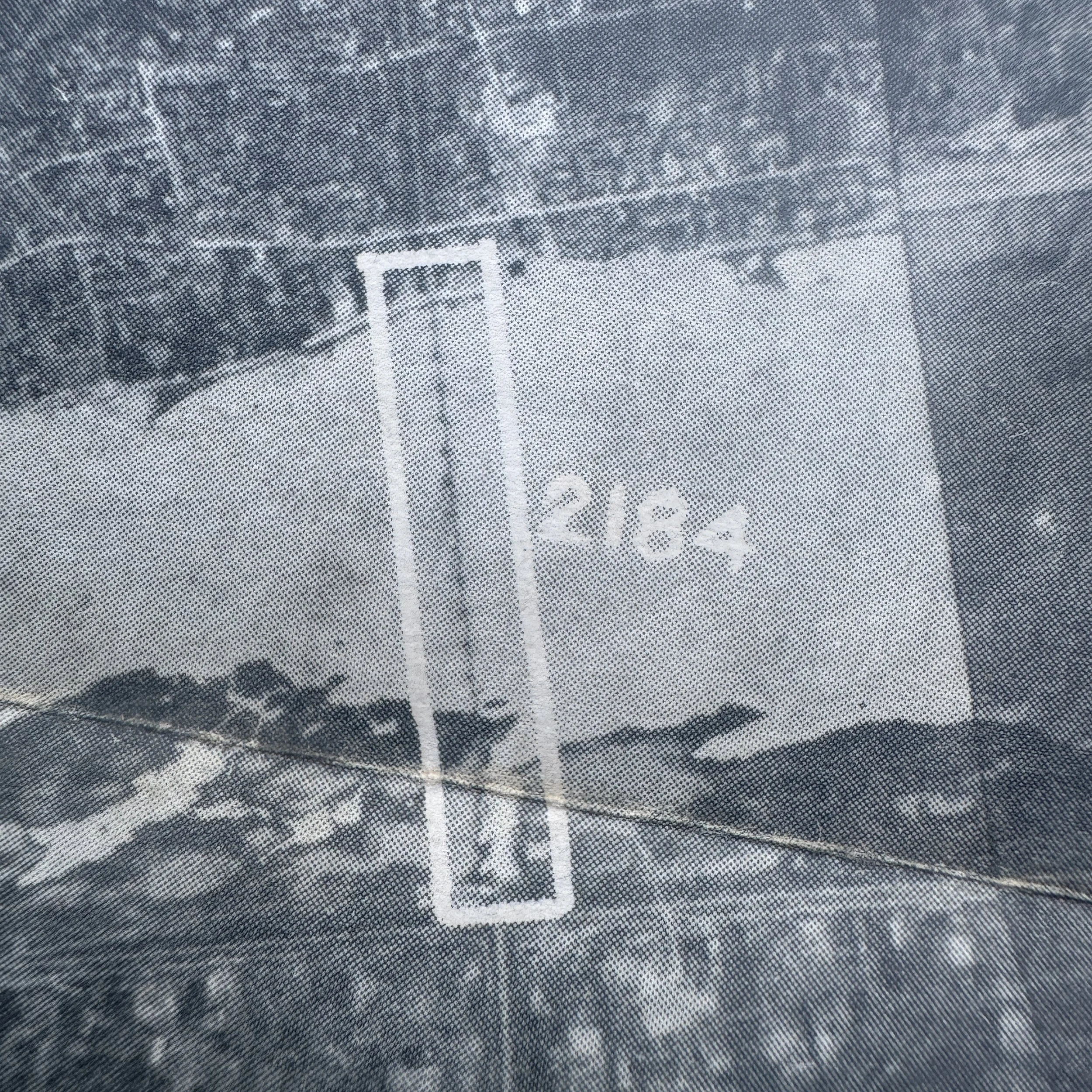
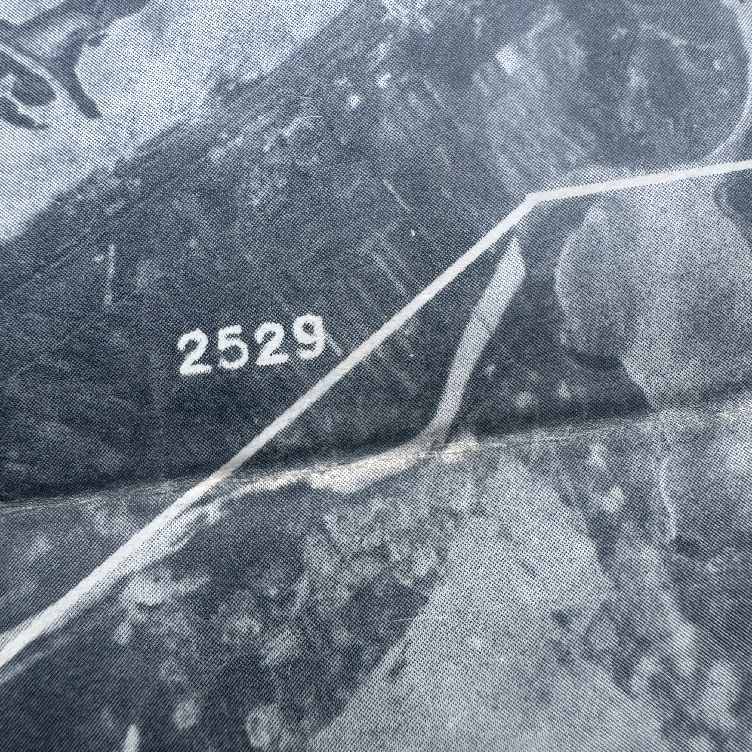
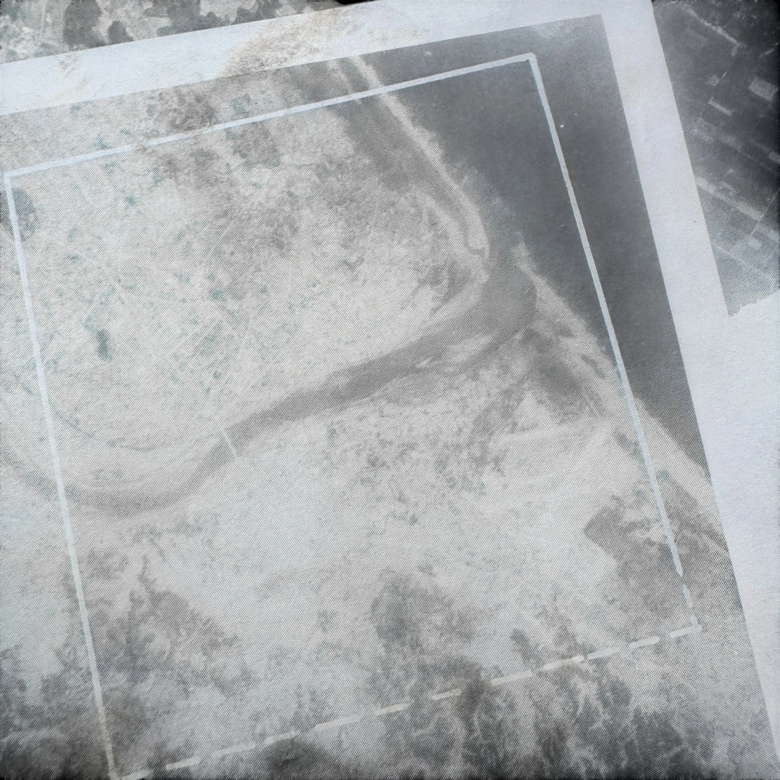
Specific Aiming Points: The map features stark white outlines over specific tactical targets. Area "2529" outlines a large coastal airfield with intersecting runways. Target "2184" highlights a bridge crossing the major river (the Oyodo River) that bisects the city.
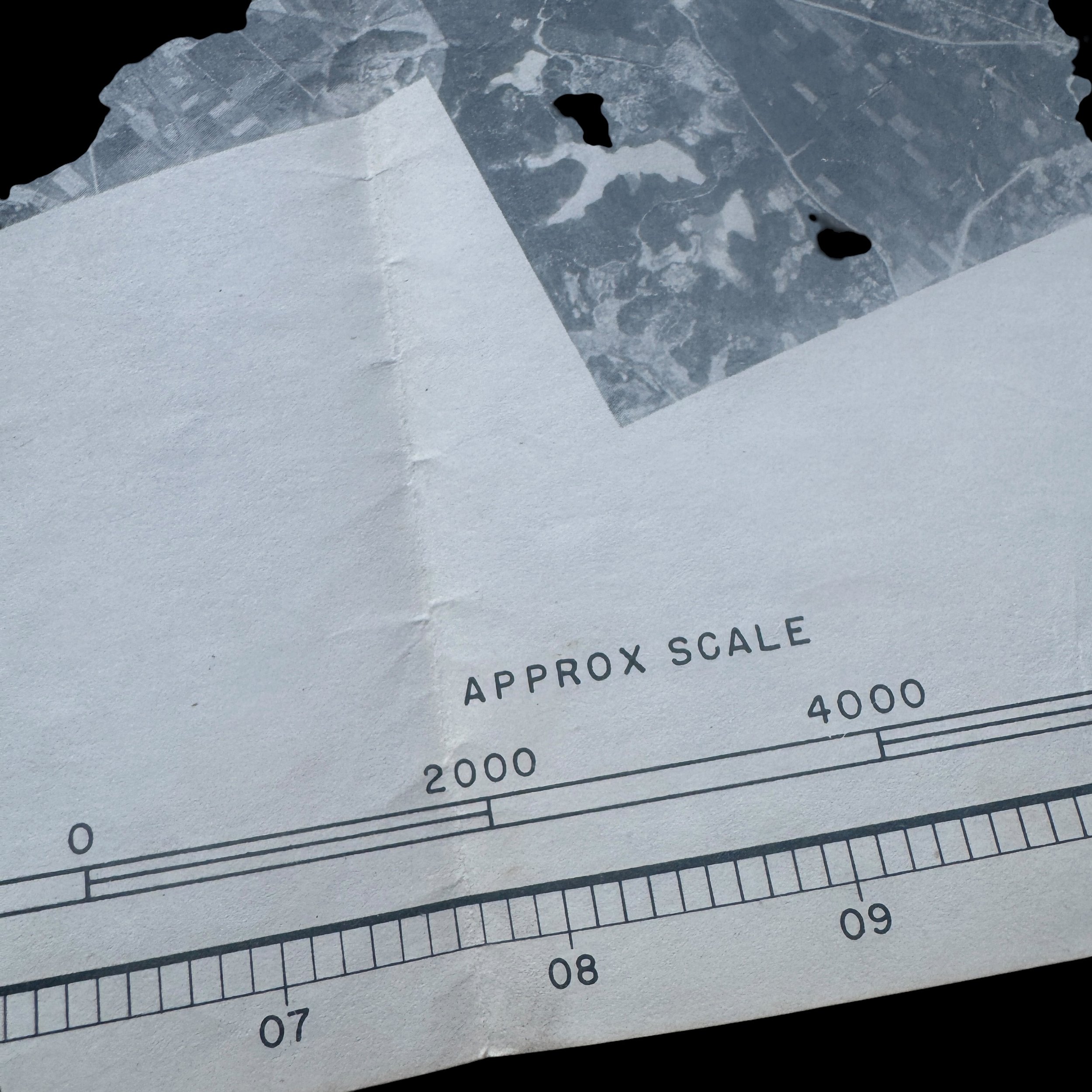
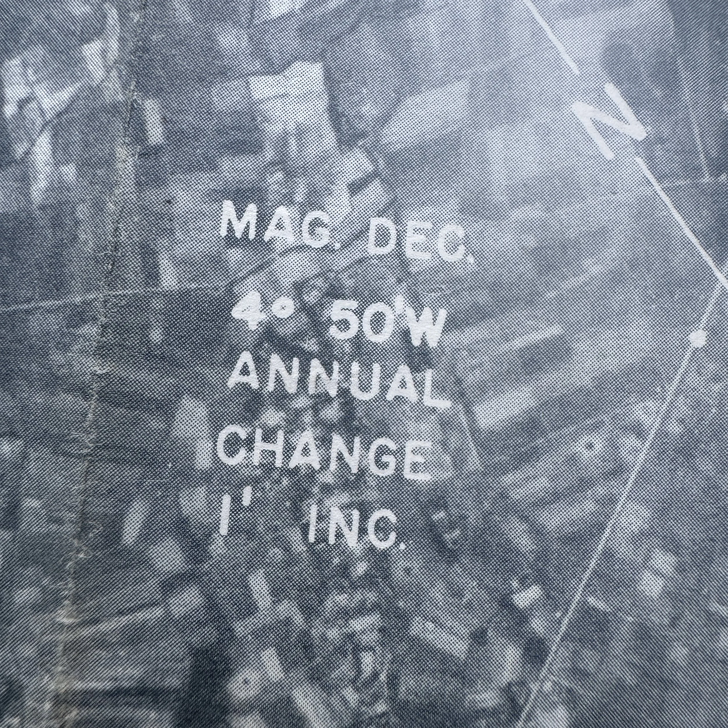
Navigational Aids: A scale spanning 0 to 8000 feet is visible at the bottom, and a compass rose details a magnetic declination of "4° 50'W" with an "ANNUAL CHANGE 1' INC".
Operational Usage and Handlers
This map was a critical piece of combat intelligence. It would have been used primarily by three groups of personnel:
A-2 Intelligence Officers: Used during pre-flight briefings at Mariana Island airbases to familiarize aircrews with the target area, approach routes, and specific aiming points (like the airfield and the bridge).
B-29 Navigators and Bombardiers: Carried aboard the B-29 Superfortresses during the mission. The navigator would use the coastal features, river bends, and compass data to verify they were on the correct approach. The bombardier would look through the Norden bombsight and match the terrain below to the white target outlines (like the 2529 airfield) to determine the exact moment of bomb release.
Photo-Interpreters: Post-strike reconnaissance photos would be compared against baseline maps like this one to conduct bomb damage assessment (BDA).
Historical Context and Associated Operations
This map was created at the absolute climax of the Pacific War. In July 1945, the USAAF was conducting maximum-effort incendiary raids against Japanese cities, as well as precision strikes against airfields, transportation hubs, and remaining military infrastructure.
Miyazaki was a significant target for two main reasons:
Airfield Threat: The airfield (Target 2529) was actively used by the Imperial Japanese Army Air Service, serving as a staging ground for Kamikaze attacks against Allied naval forces operating near Okinawa. Neutralizing these airfields was a primary objective for XXI Bomber Command in the spring and summer of 1945 to protect the US Navy.
Invasion Prep: Miyazaki was located on the southeastern coast of Kyushu. The Allied plan for the invasion of the Japanese home islands—Operation Olympic—was scheduled for November 1945, with Kyushu as the landing site. Miyazaki's beaches were one of the primary designated landing zones. Maps exactly like this one were generated not just for immediate B-29 bombing runs, but also to map out defenses, infrastructure (like bridge 2184), and terrain for the impending amphibious assault that ultimately never happened due to the Japanese surrender in August 1945.