WWII “Dusseldorf-Koln” Heavily Used German Infantry Map Captured by American Soldier - Operation Grenade (2 of 2)

WWII “Dusseldorf-Koln” Heavily Used German Infantry Map Captured by American Soldier - Operation Grenade (2 of 2)
Size: 28 x 32 inches
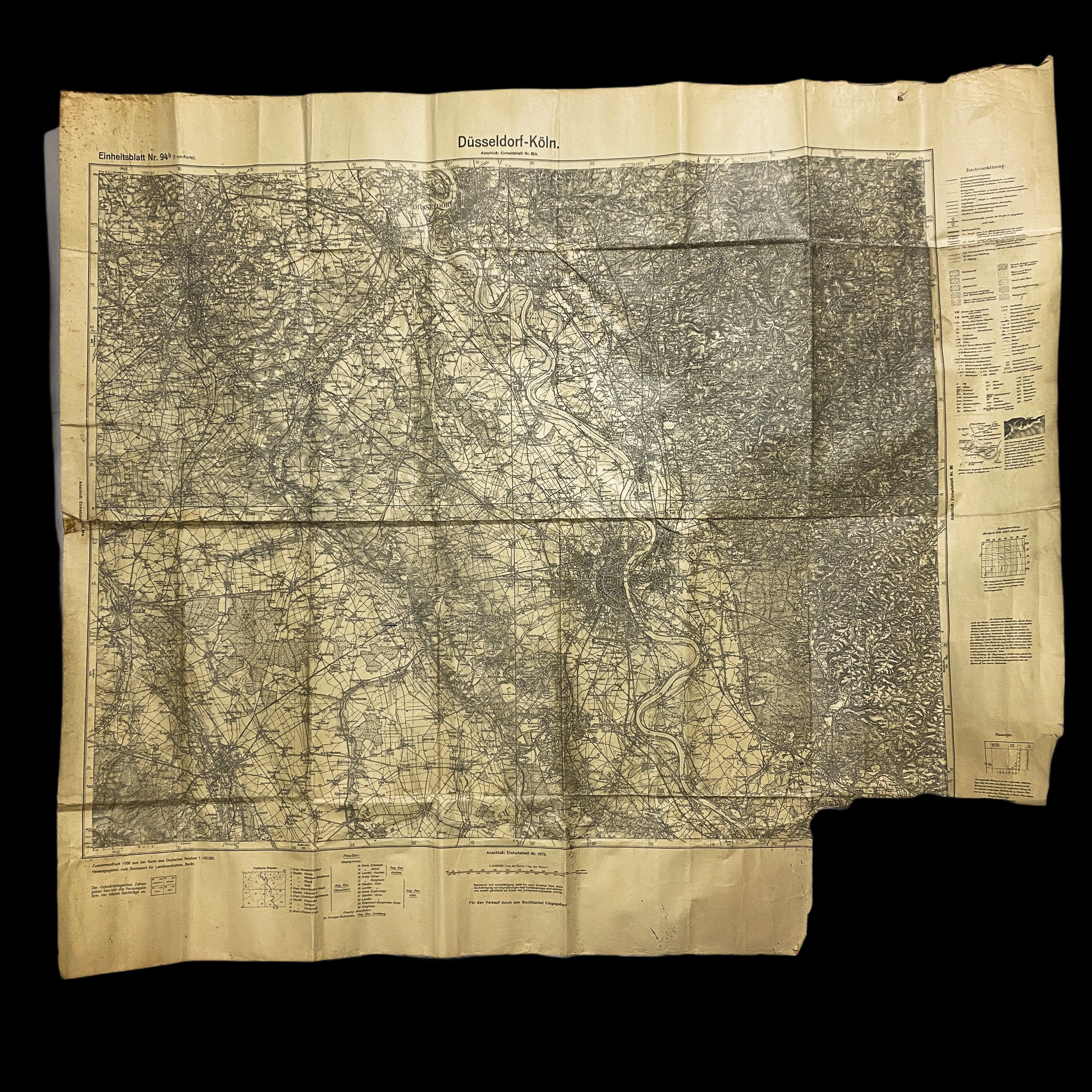
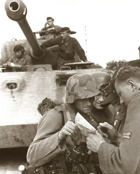
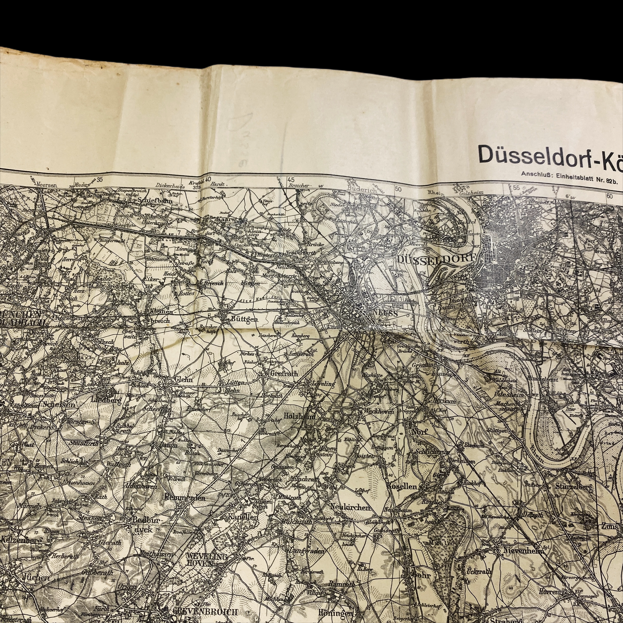
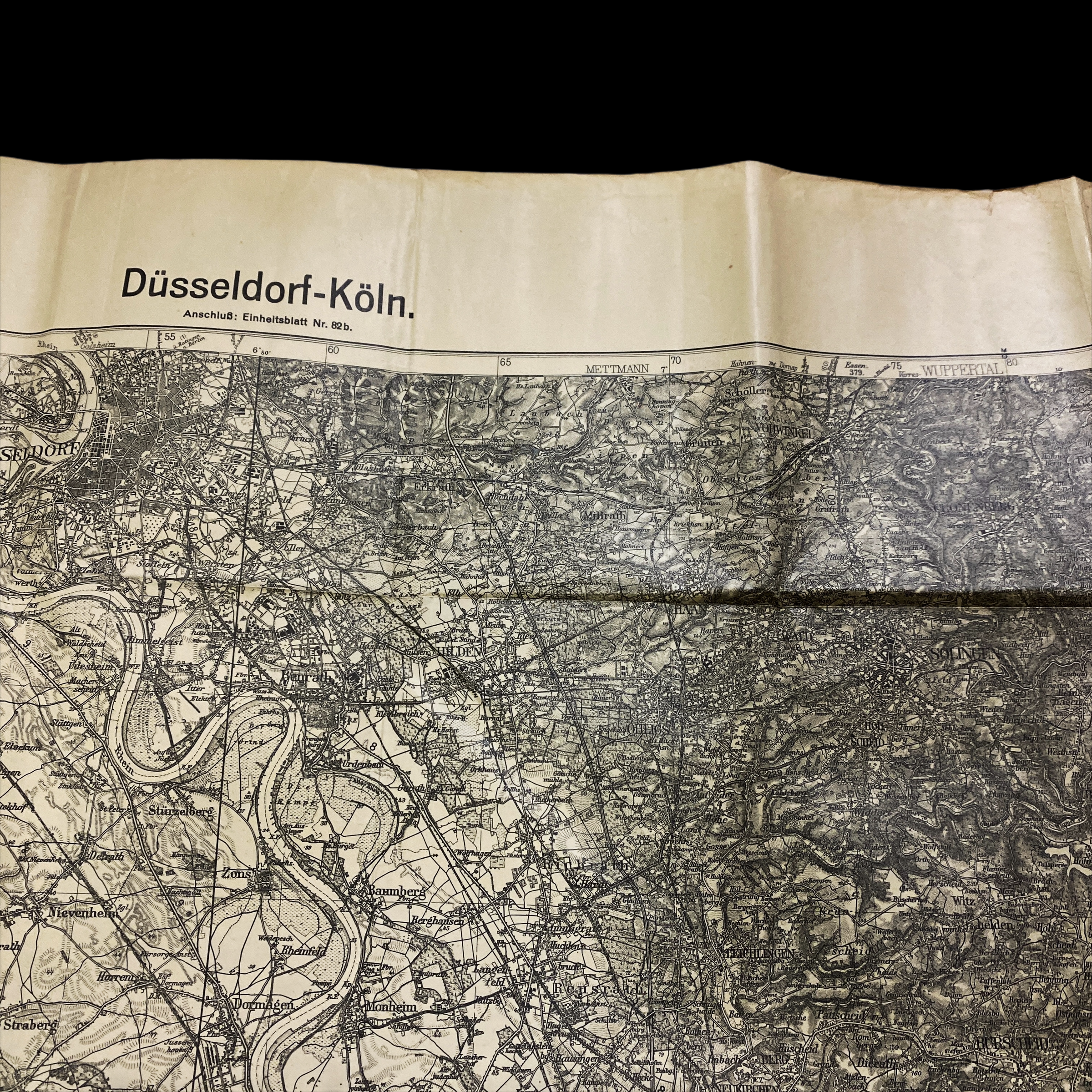
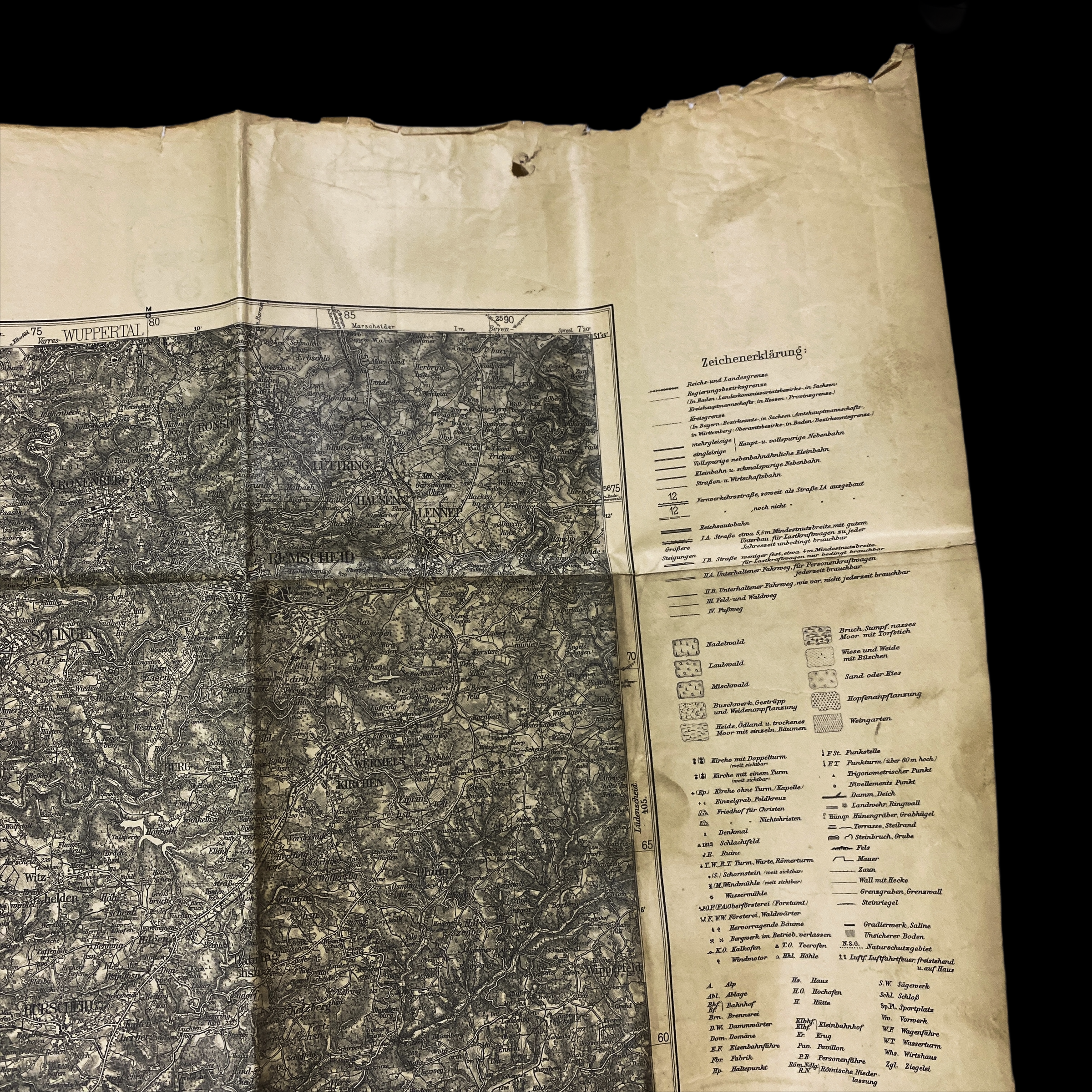
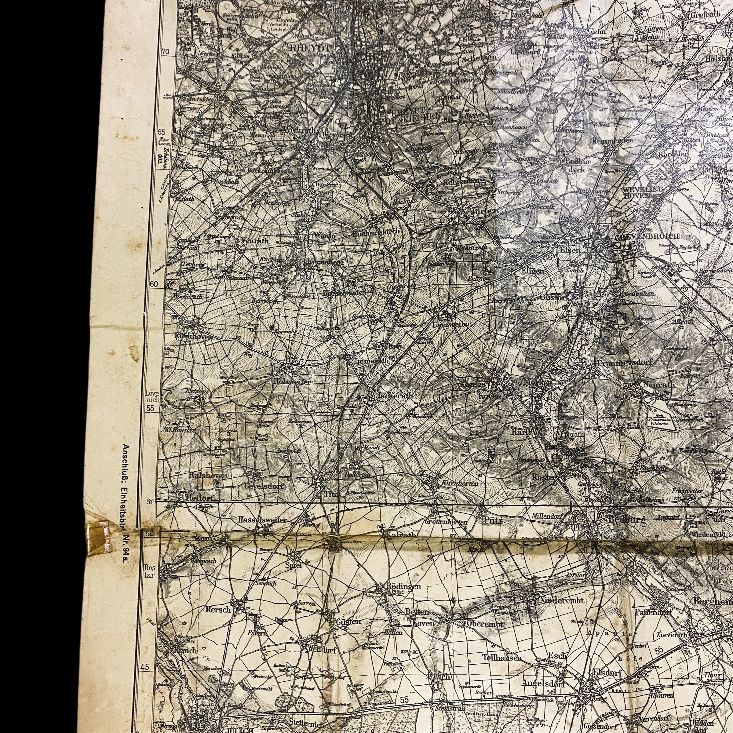
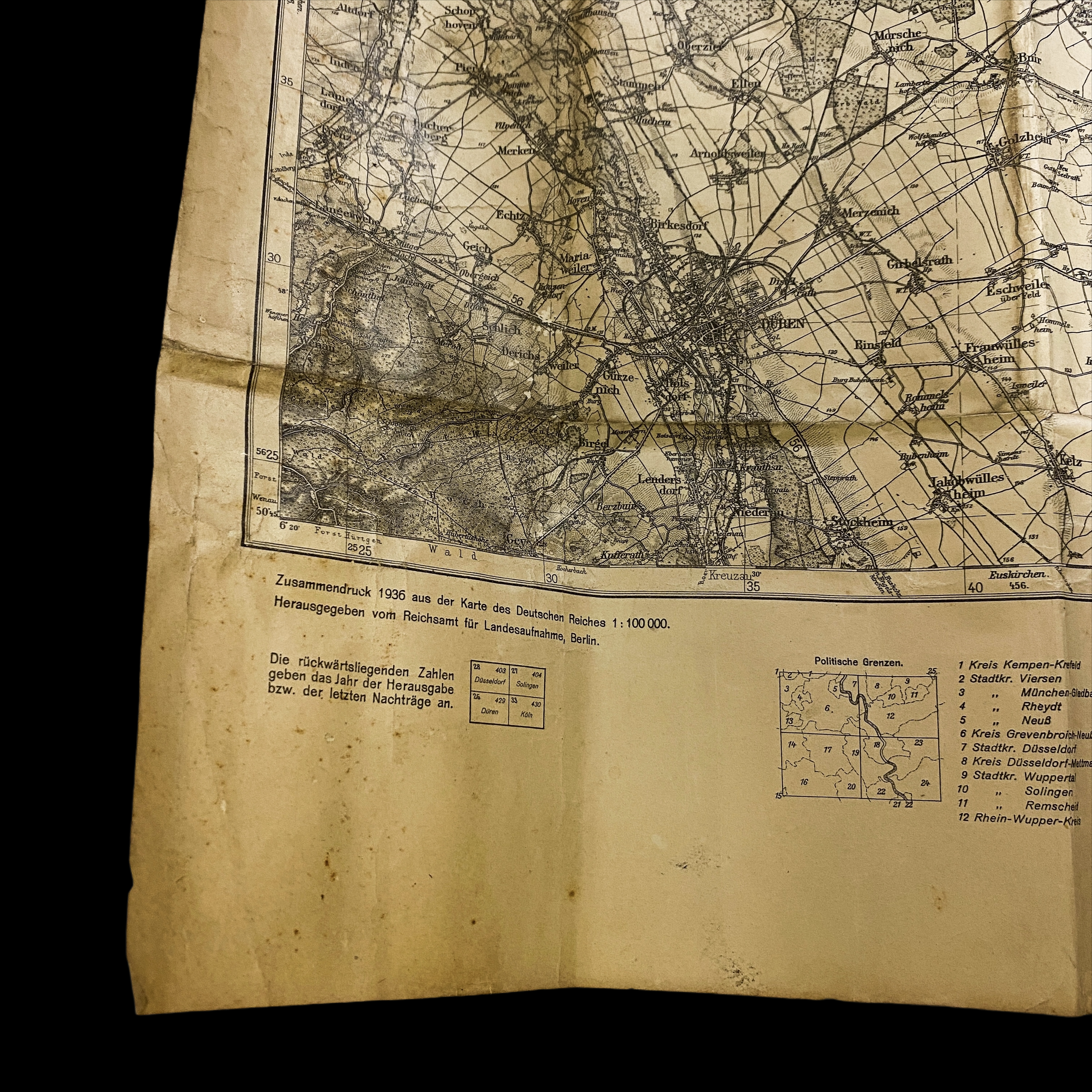
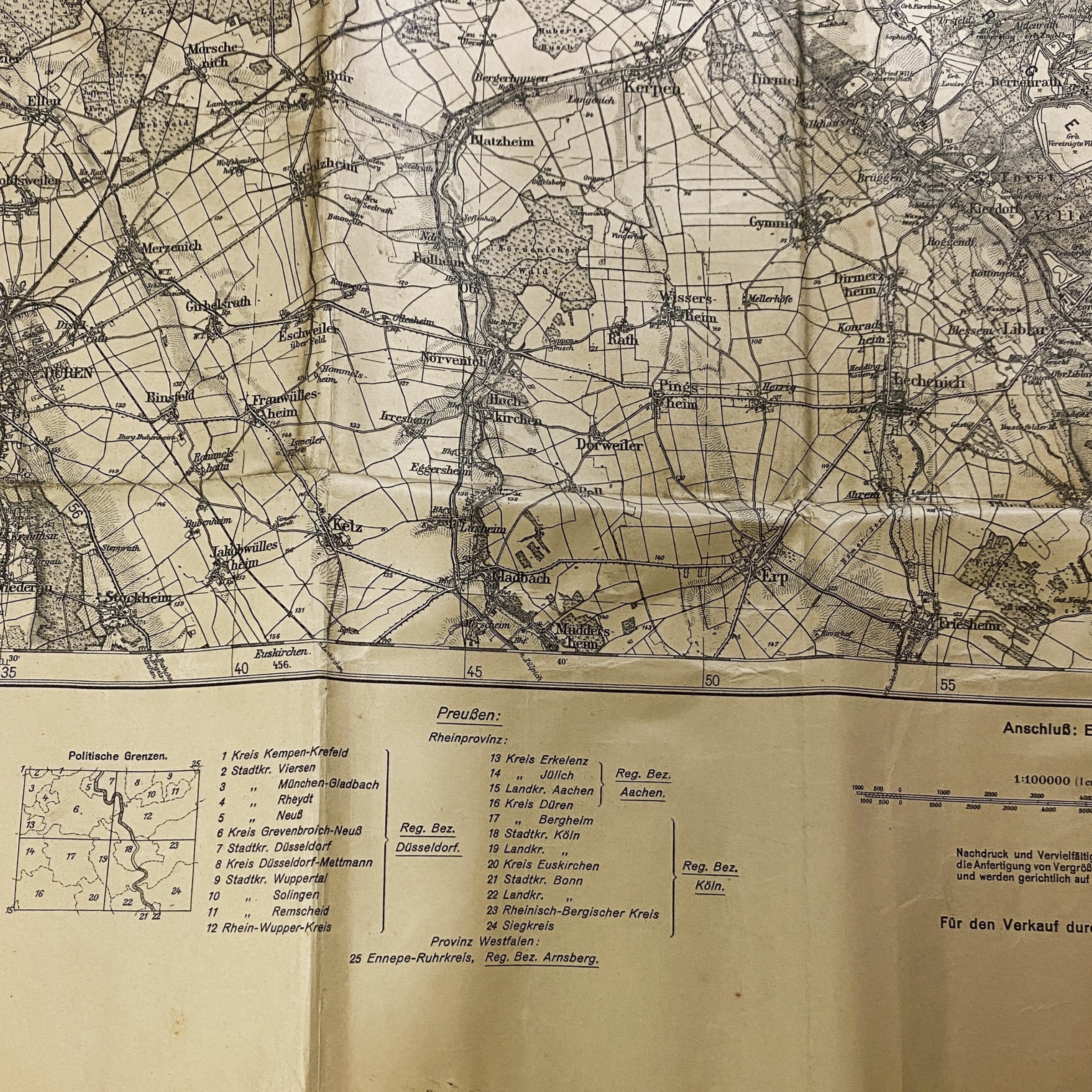
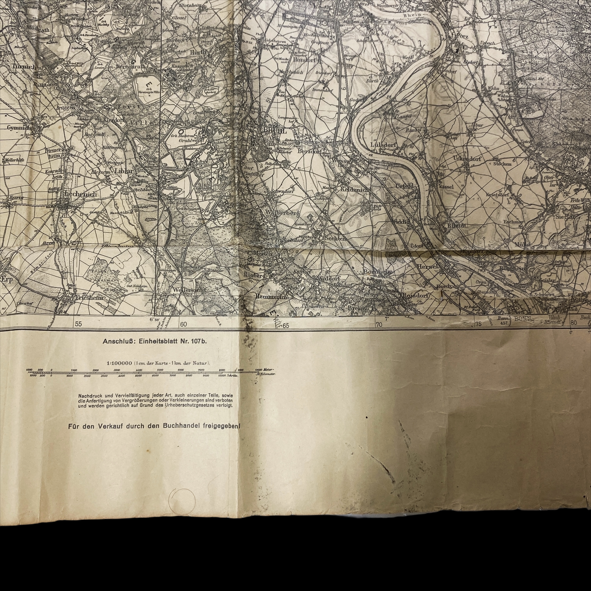
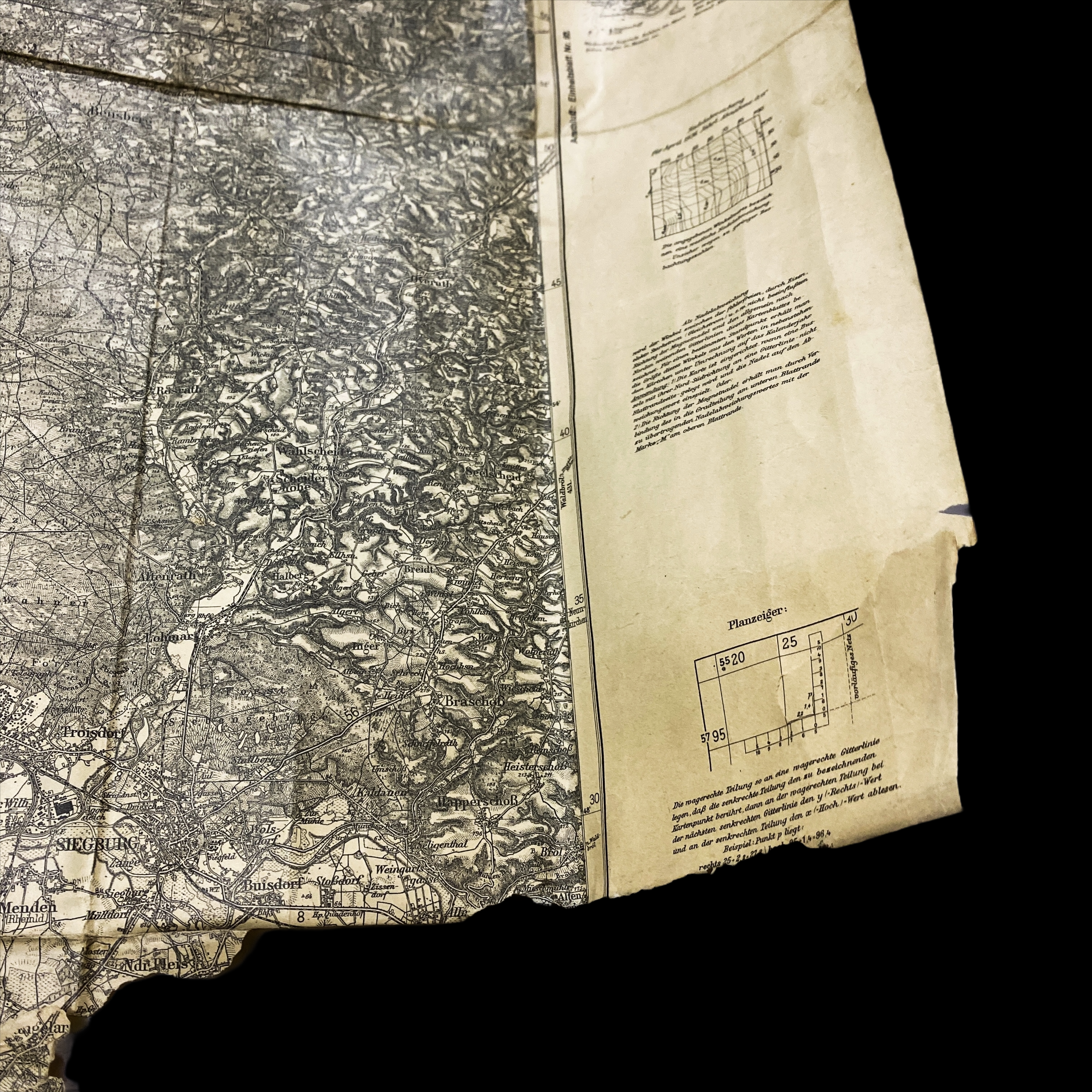
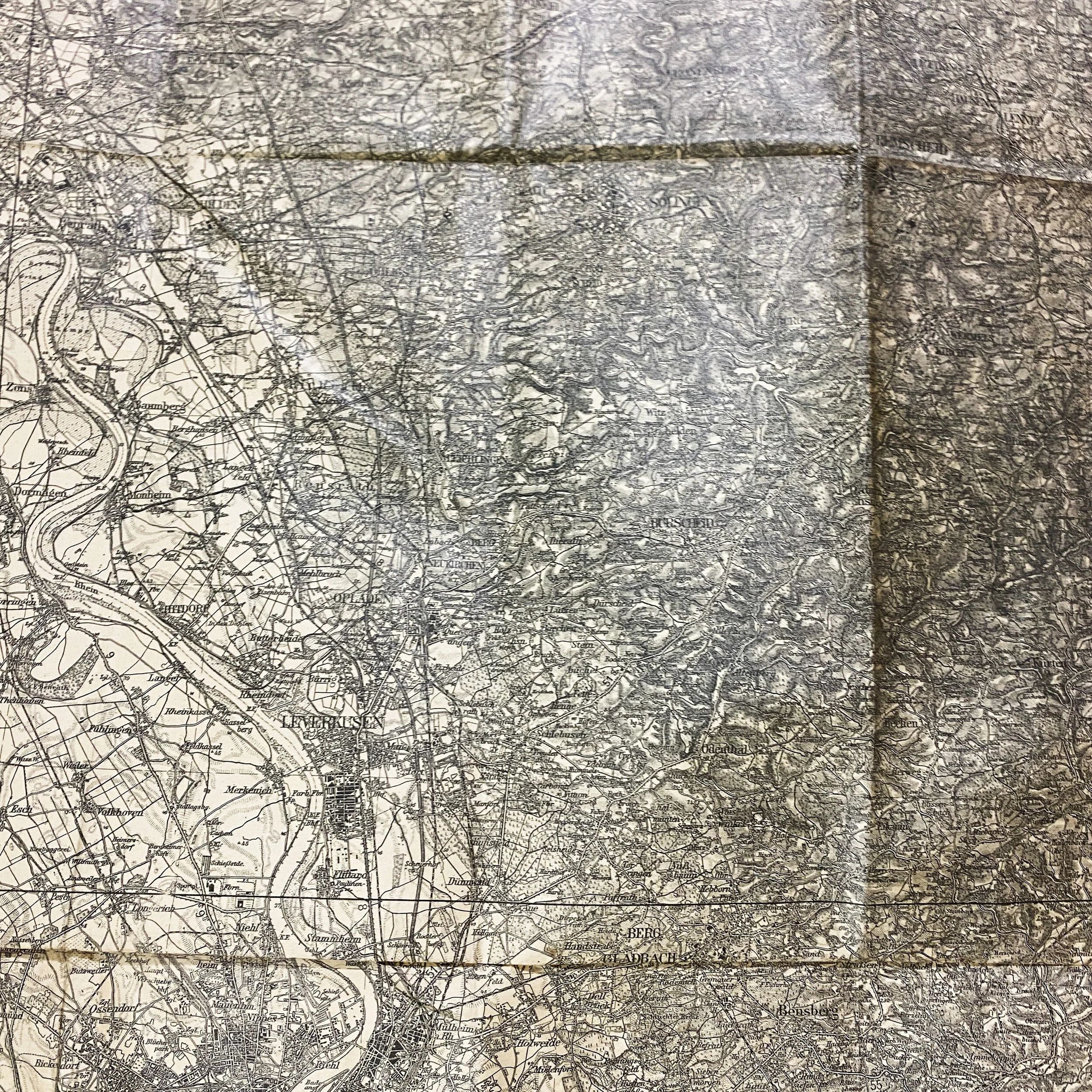
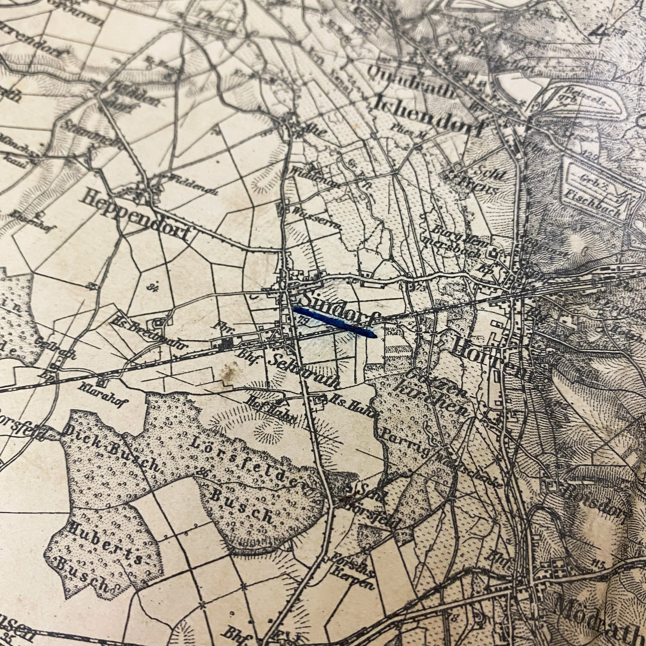
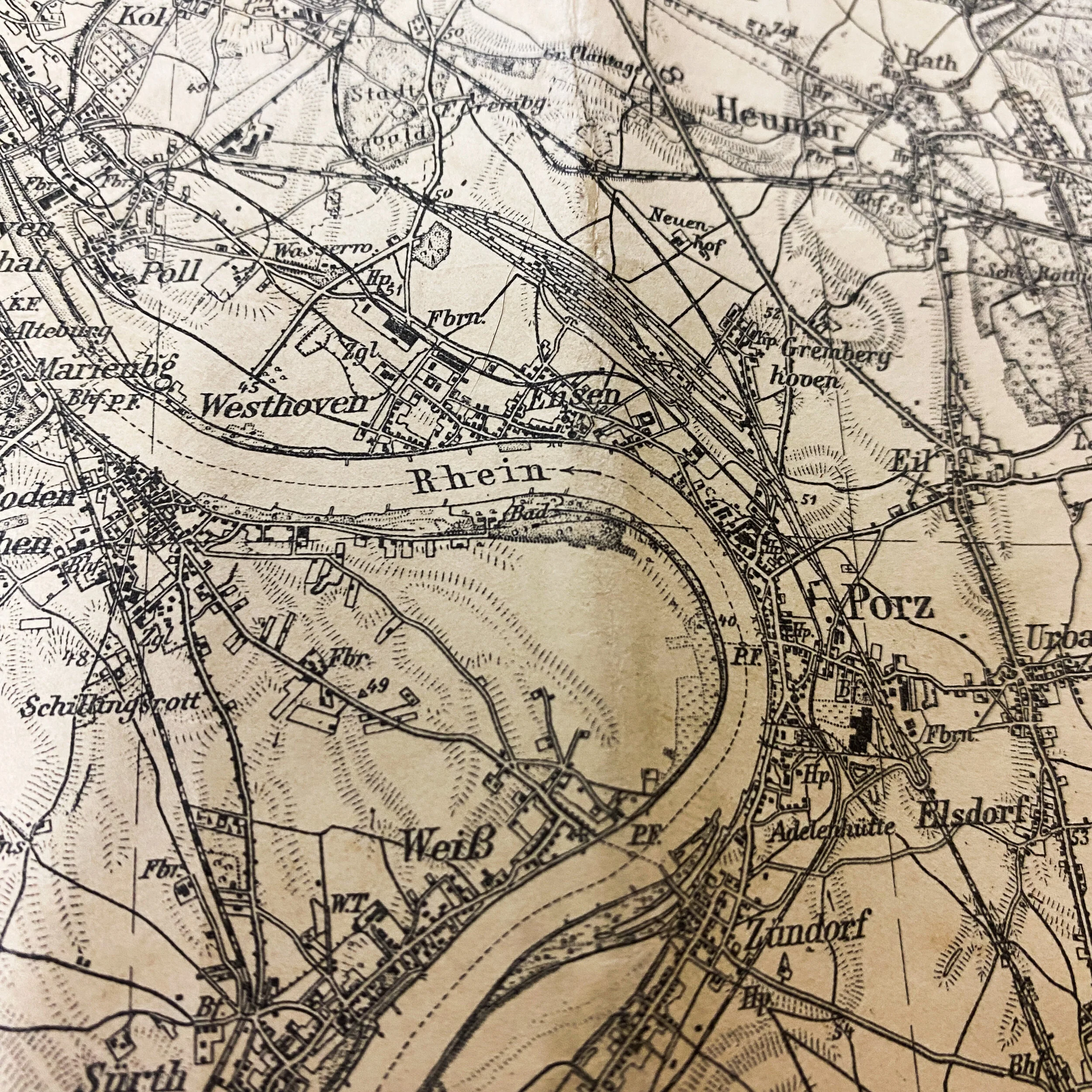
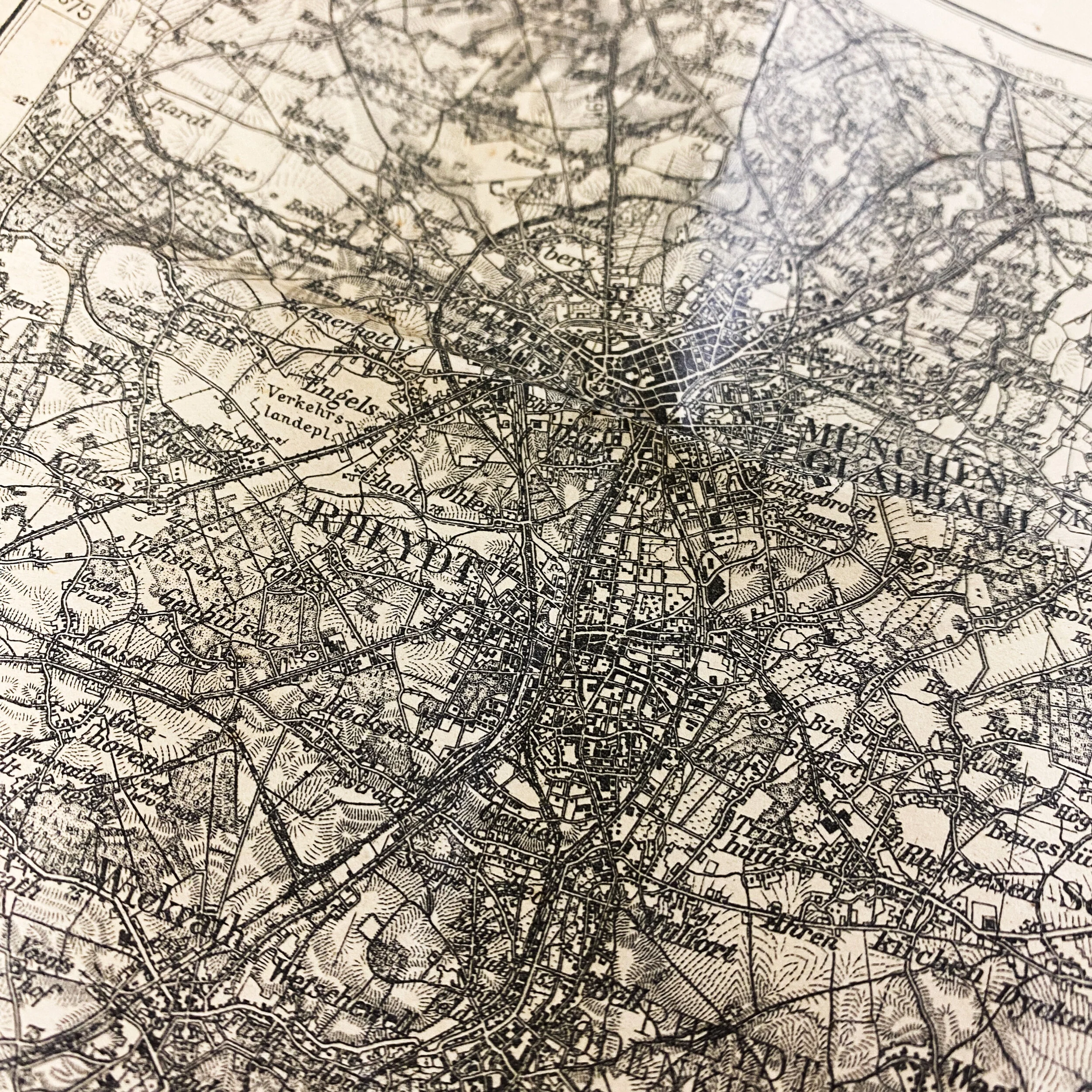
This heavily used and worn WWII German infantry map was captured and brought back by a U.S. veteran who saw combat in the European theater of operation against the Germans. What makes this map interesting is the extreme heavy usage and wear seen on almost on every single section of the map. It features some of the most famous towns and villages during the Allied push through Europe. This map was used by the German infantry units and divisions as they moved defending against Allied attacks during the Western Allied invasion of Germany, coordinated by the Western Allies during the final months of hostilities in the European theatre of World War II. In preparation for the Allied invasion of Germany, a series of offensive operations were designed to seize and capture the east and west bank of the Rhine River: Operation Veritable and Operation Grenade in February 1945, and Operation Lumberjack and Operation Undertone in March 1945. The Allied invasion of Germany started with the Western Allies crossing the Rhine on 22 March 1945 before fanning out and overrunning all of western Germany from the Baltic in the north to the Alpine passes in the south, where they linked up with troops of the U.S. Fifth Army in Italy. Combined with the capture of Berchtesgaden, any hope of Nazi leadership continuing to wage war from a so-called "National redoubt" or escape through the Alps was crushed, shortly followed by unconditional German surrender on 8 May 1945. This is known as the Central Europe campaign in United States military histories.
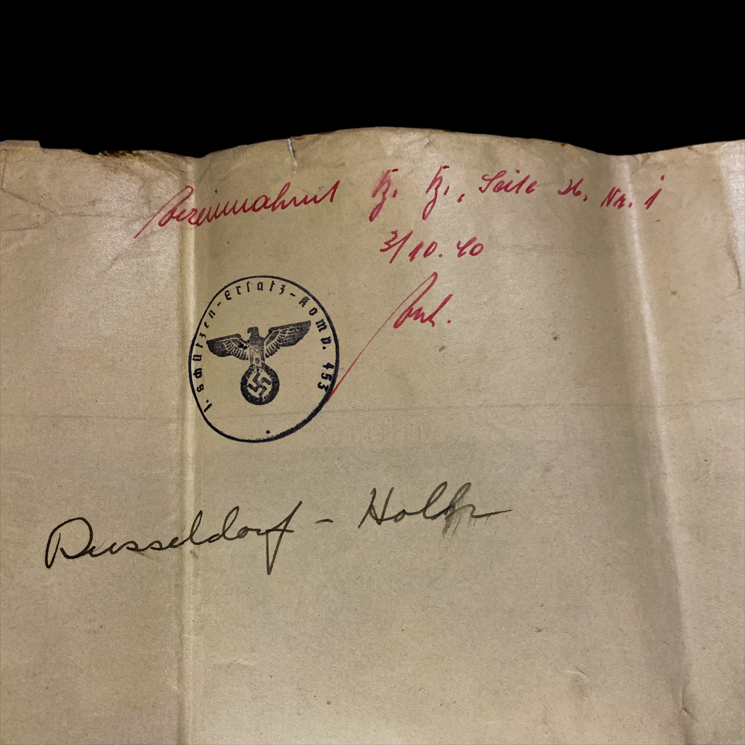
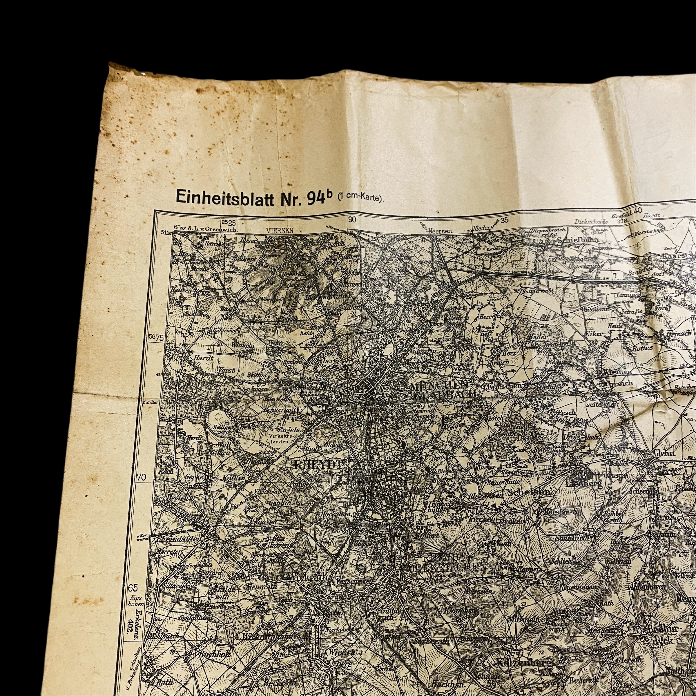
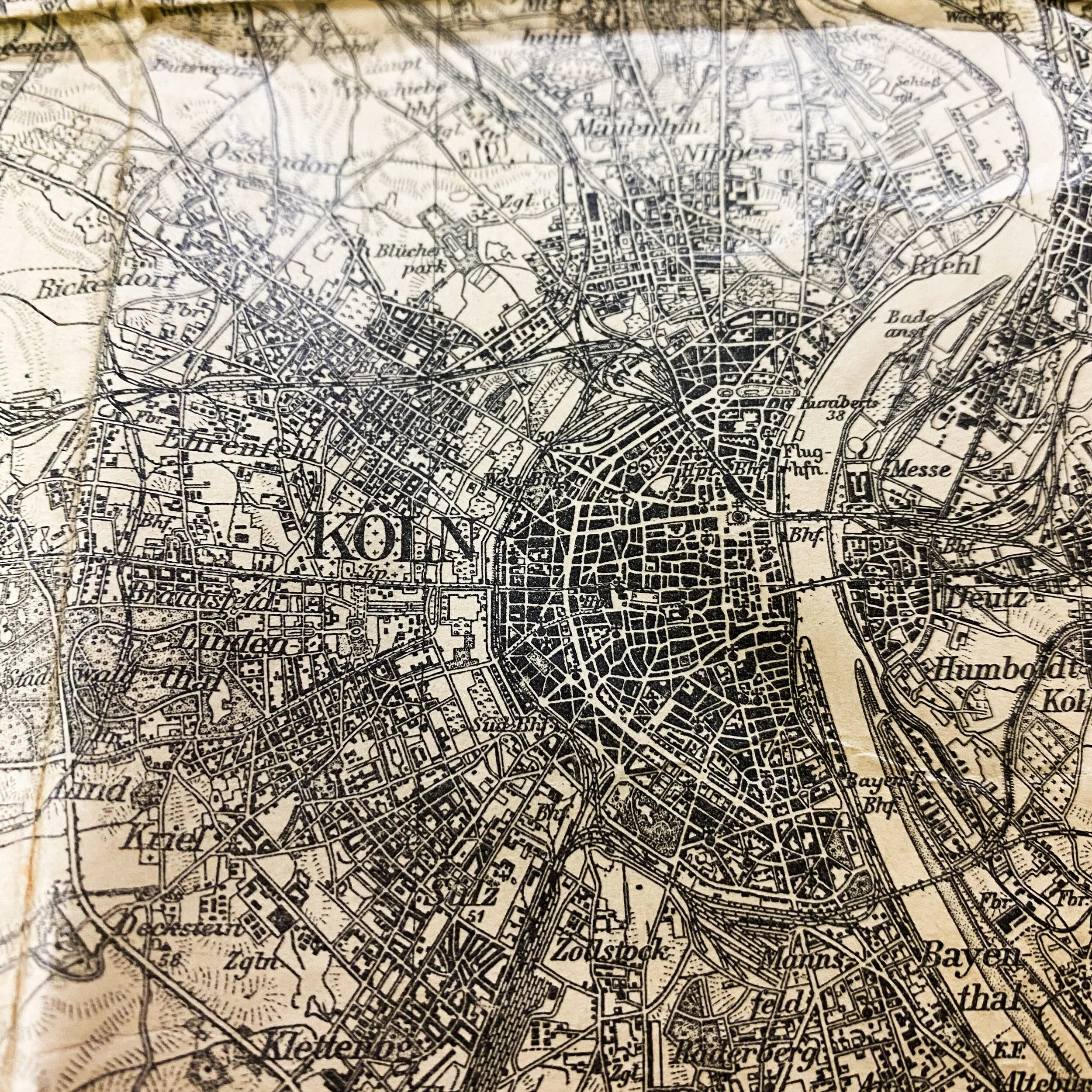
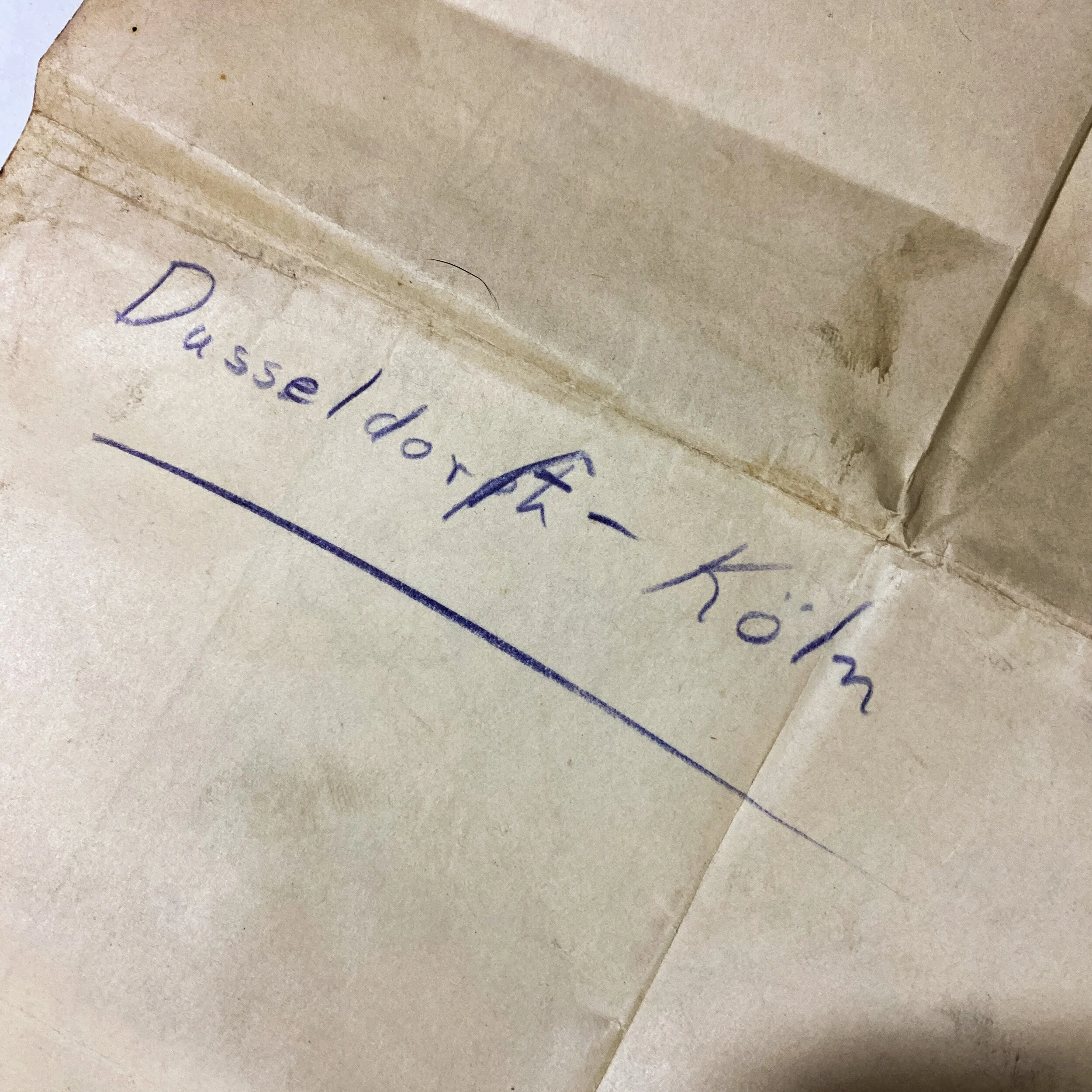
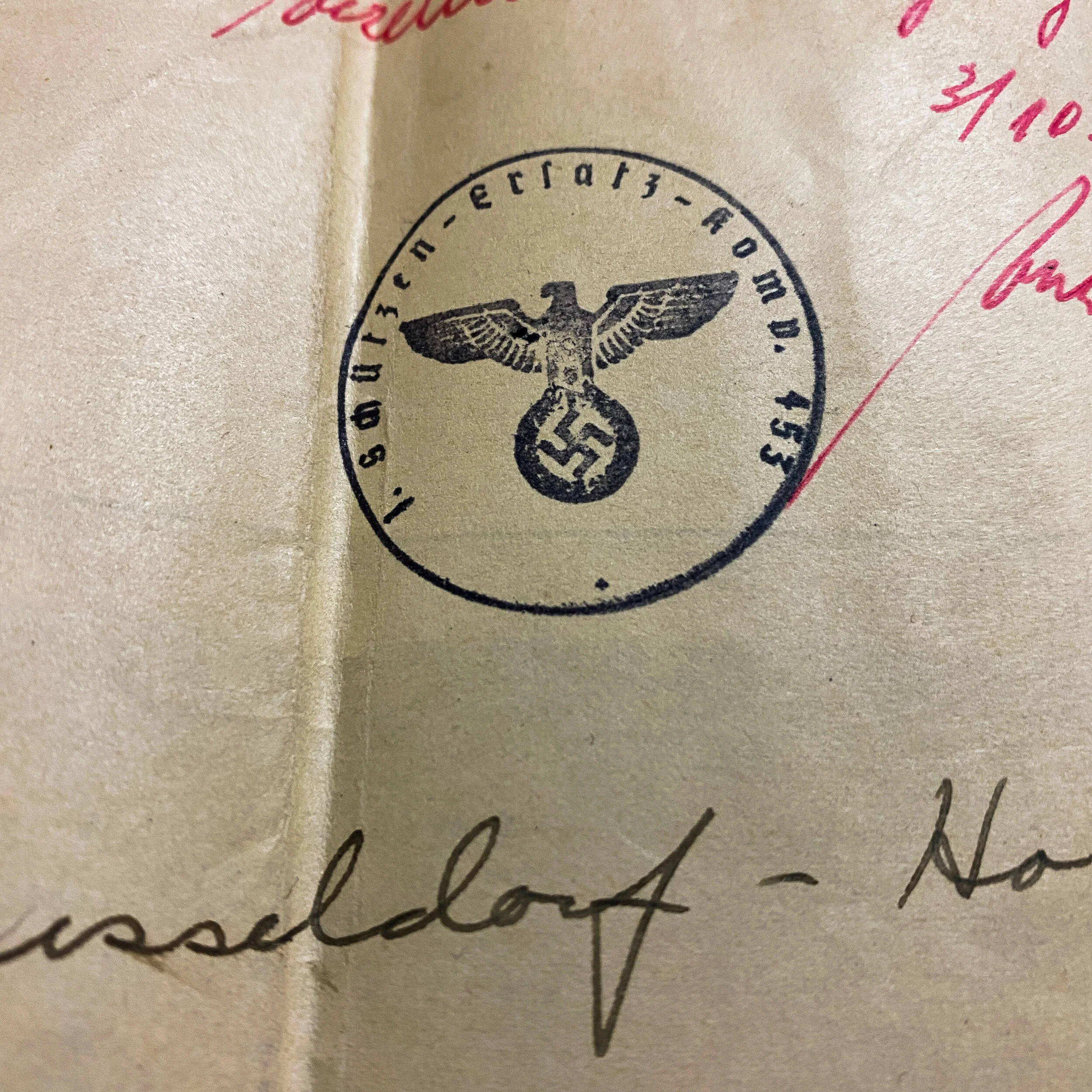
This German map is titled “Dusseldorf-Koln” and is dated 1936. While the division, infantry, or name of the German soldier that use this map will forever be lost to history, the condition of the map and its heavy usage show how vital it was to German soldiers on the front line. This map saw extensive action throughout the entire war until the day it was captured by an American soldier. The back side of the map features extensive writing done by the German Soldier and captured American annotations in red and black ink and also features the rare German Nazi crest stamped on the back.
This map was featured the towns of both Koln and Dusseldorf who were located in the area of Operation Grenade (where it is believe this map was captured). During World War II, Operation Grenade was the crossing of the Roer river between Roermond and Düren by the U.S. Ninth Army, commanded by Lieutenant General William Hood Simpson, in February 1945, which marked the beginning of the Allied invasion of Germany.
On 9 February, the U.S. Ninth Army—operating under Field Marshal Sir Bernard Montgomery's Anglo-Canadian 21st Army Group since the Battle of the Bulge—was to cross the Roer and link up with the Canadian First Army, under Lieutenant-General Harry Crerar, coming from the Nijmegen area of the Netherlands in Operation Veritable, which had started at 05:00 on 8 February. However, once the Canadians had advanced, the Germans opened the sluice gates of upstream dams (Rur Dam and Urft Dam). This stopped the Americans from crossing as planned. It had been anticipated that the Germans would try to do this, and that General Omar Bradley′s U.S. 12th Army Group could capture them in time to stop the flooding.
During the two weeks that the river was flooded, Hitler would not allow Generalfeldmarschall Gerd von Rundstedt to withdraw behind the Rhine, arguing that it would only delay the inevitable fight. He ordered him to fight where his forces stood.
The Ninth Army was finally able to cross the river on 23 February. By then, other Allied forces were also close to the Rhine. German forces west of the Rhine during operations Veritable, Blockbuster and Grenade lost 90,000 men, of which more than 50,000 became prisoners of war (POW). Allied casualties amounted to some 23,000 men.