Original WWII 1941 German Luftwaffe European Theater Aircraft Navigators Map (France, Germany, Italy, Africa)

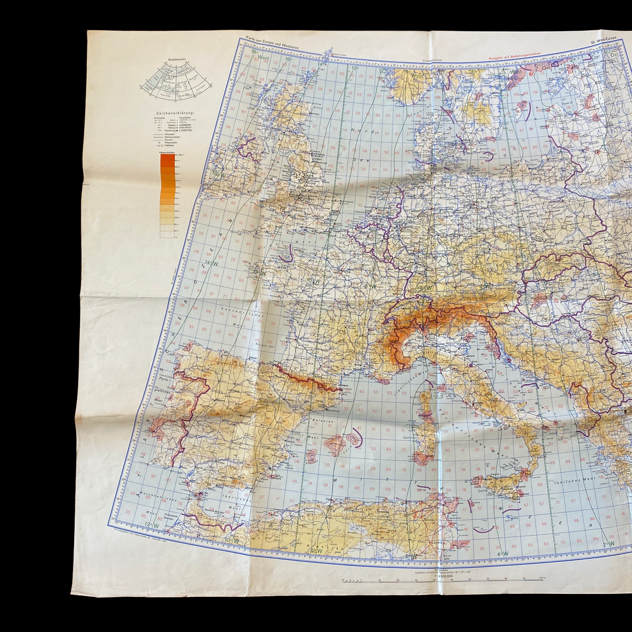


Original WWII 1941 German Luftwaffe European Theater Aircraft Navigators Map (France, Germany, Italy, Africa)
Comes with hand-signed C.O.A.
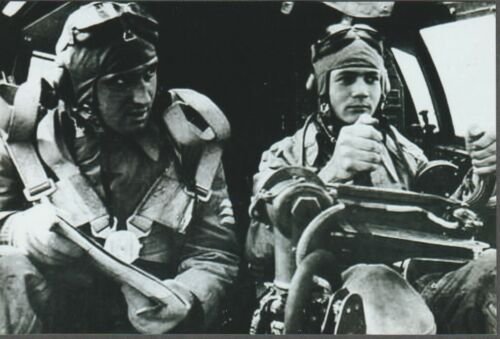
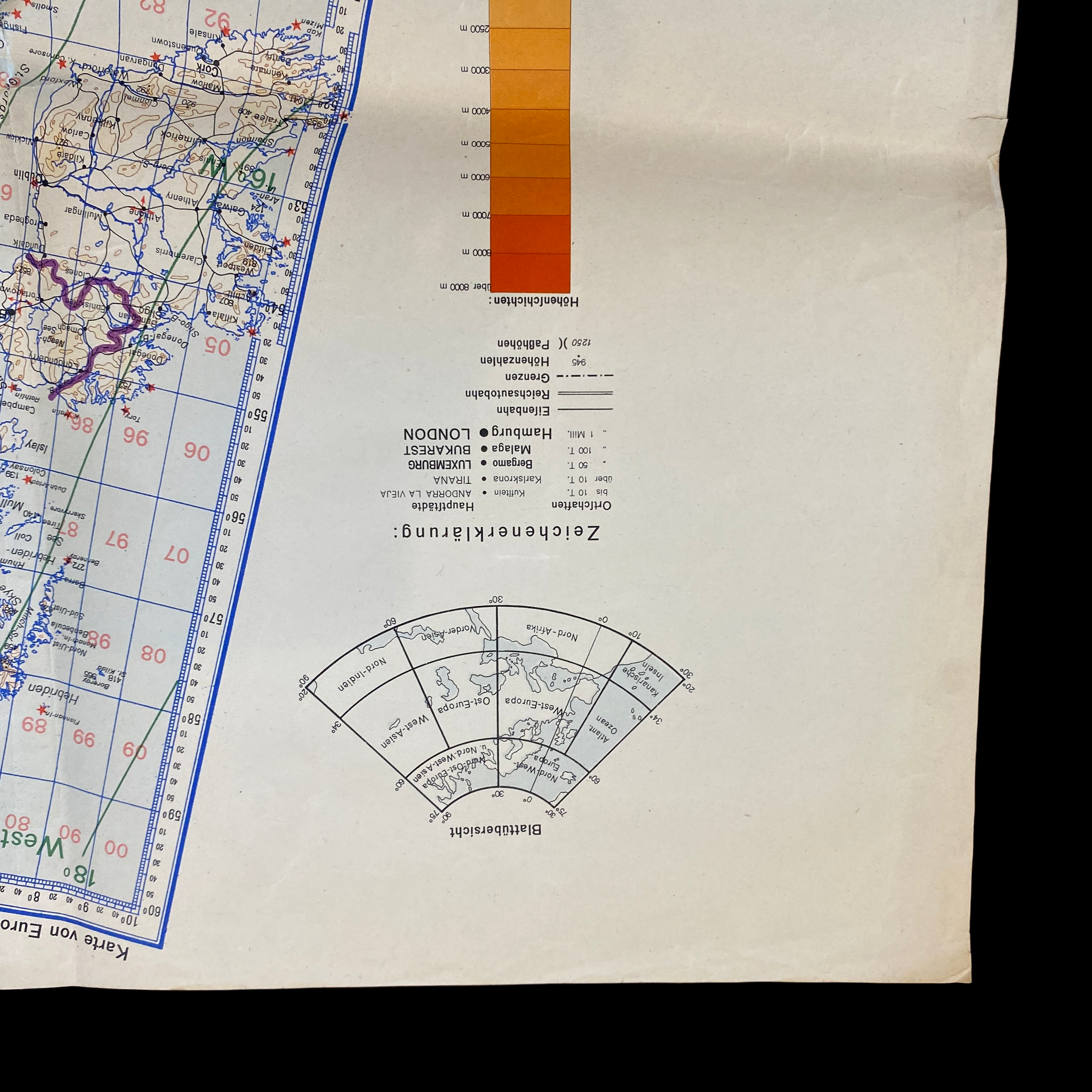
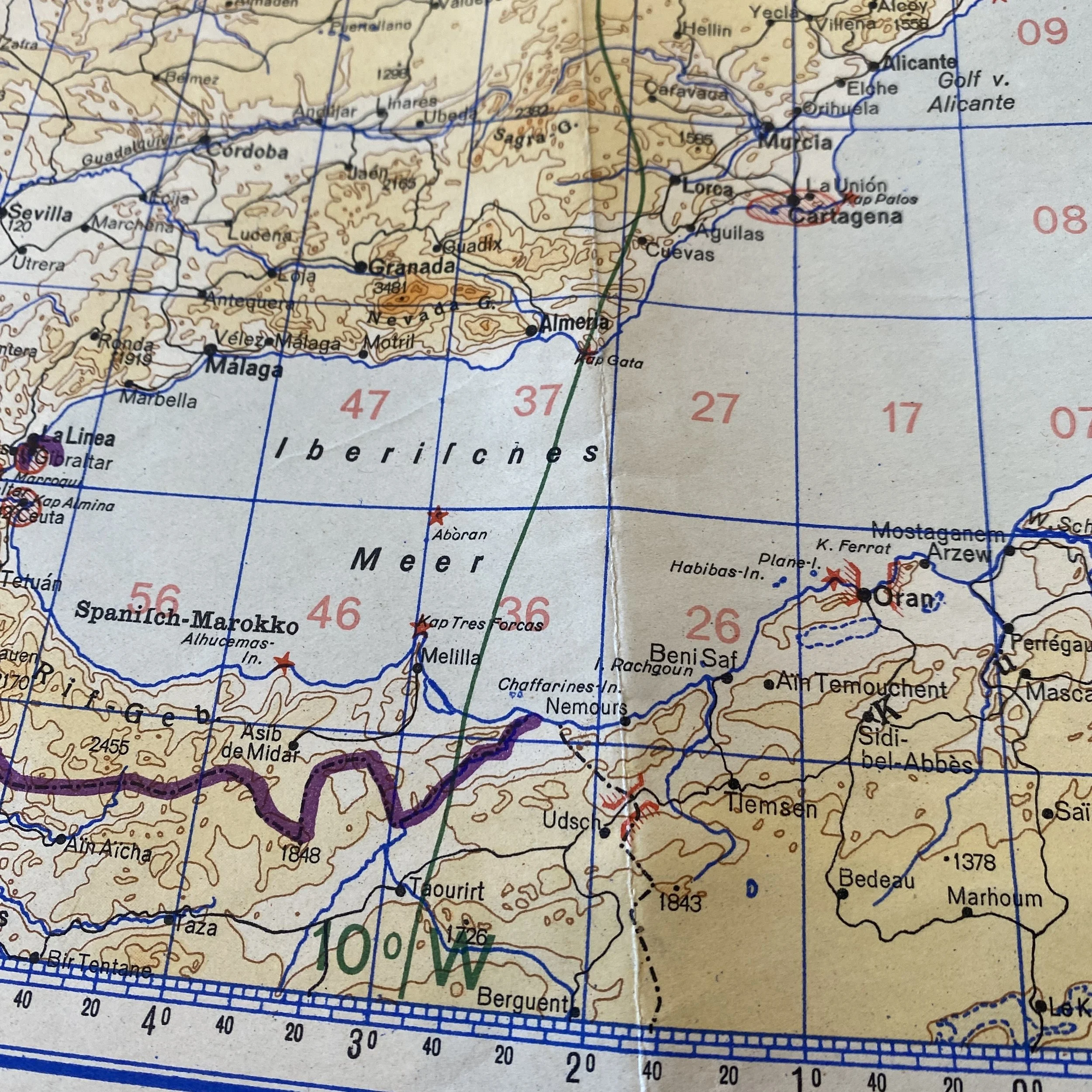
This incredibly large museum-grade World War II German Luftwaffe aircraft navigational map of the European Theater is a special printing that shows all areas of operation in the ETO. This map would've been extremely useful for Luftwaffe pilots and navigators as it shows the regions of France, Germany, Belgium, Italy, Africa, Sicily, etc. This map would have been used for long-distance missions and shows an incredible amount of information. The altitude tints would've been useful for pilots and navigators to adjust for the altitude of their aircraft depending on the region that they were flying in.
What makes map very special is that it shows all of the invasion points of the Allies during WWII including Operation Torch, Operation Dragoon, and Operation Overlord to name a few. The D-Day invasion of Normandy is also shown on the map as well as the landings in southern France. This map would have been useful even as the Germans were pushed back from France as it shows many airports and fly zones within Germany including Berlin and the surrounding areas.
This map is a very large size and would have been folded appropriately depending on the region that the Luftwaffe pilots or navigator were flying in. This map was a captured bring back of a WWII veteran and has an amazing history.
This would be an incredible addition to any World War II collection.