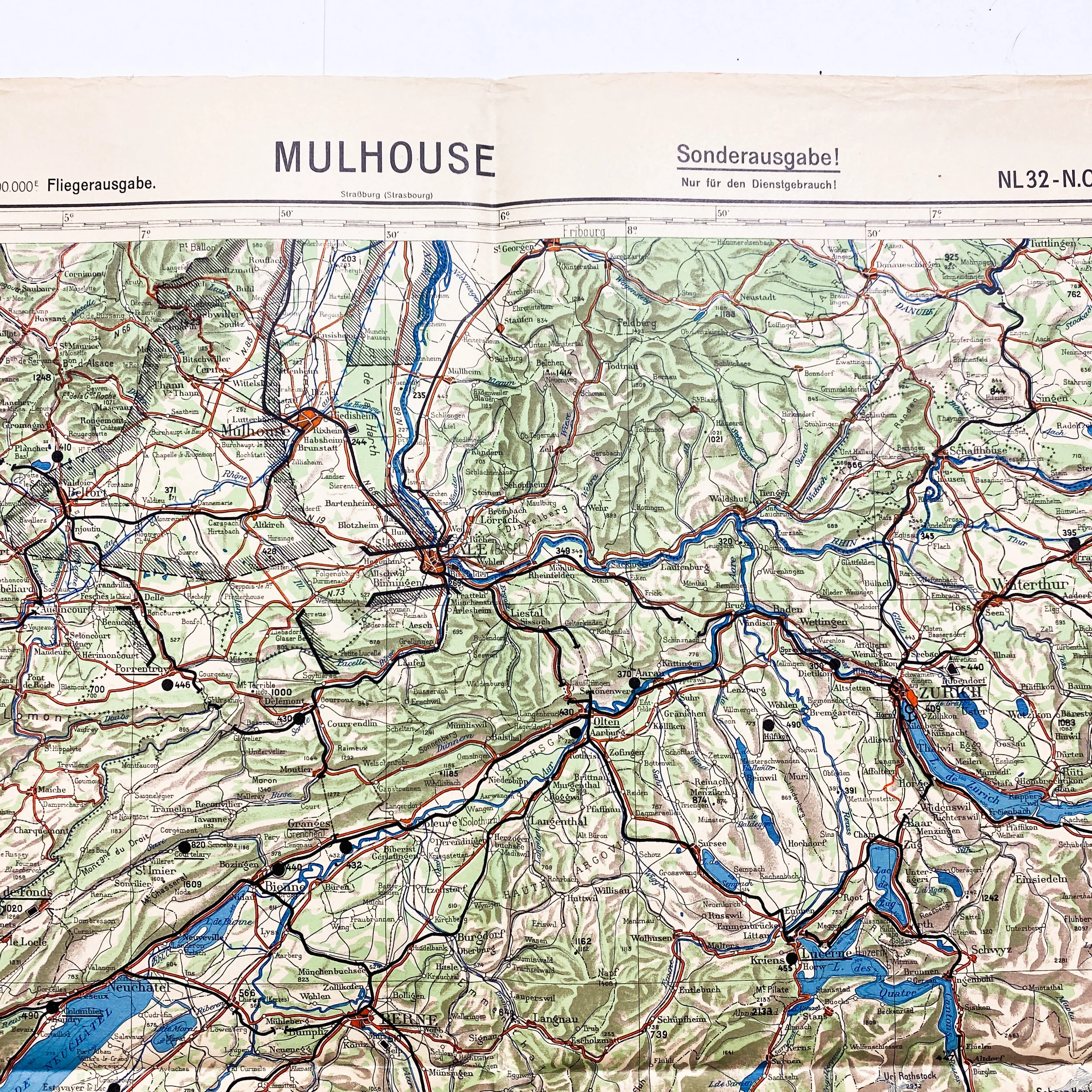
"Battle of France" 1936 Dated German 'Mulhouse' Sonderausgabe (Special Edition) Combat Map


"Battle of France" 1936 Dated German 'Mulhouse' Sonderausgabe (Special Edition) Combat Map
Size: 23.5 x 24 inches
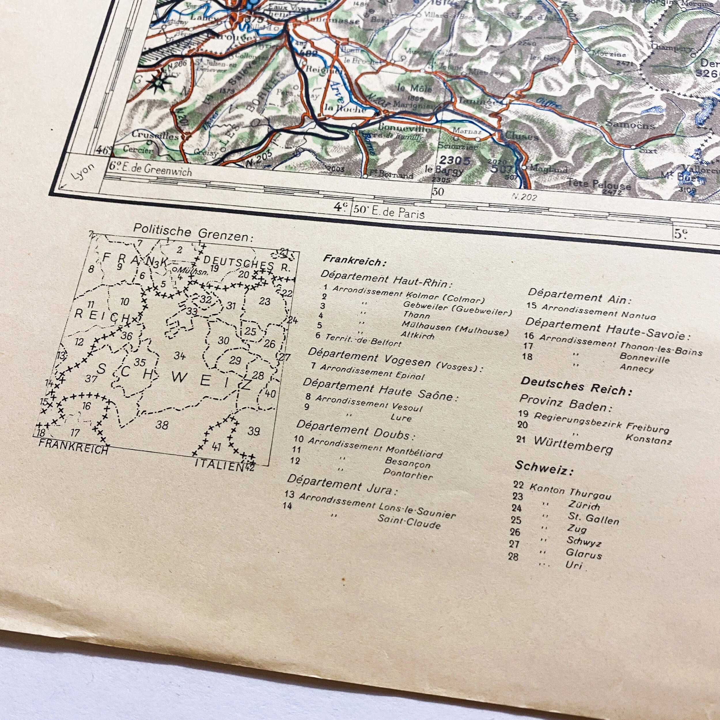
This early war German infantry combat map is titled “Mulhouse”. Mulhouse is a city and commune in eastern France, close to the Swiss and German borders. After the Battle of France in 1940, it was occupied by German forces until its return to French control at the end of World War II in May 1945. Based on the early war date, this map was most likely used during the German occupation of France and Battle of France as the German began advancing into new territory. The map sector is labeled NL 32 and is titled in the upper right Sonderausgabe (Special Edition).
Battle of France:
The Battle of France, also known as the Fall of France, was the German invasion of France and the Low Countries during the Second World War. On 3 September 1939 France had declared war on Germany, following the German invasion of Poland. In early September 1939, France began the limited Saar Offensive. By mid-October, the French had withdrawn to their start lines. In six weeks from 10 May 1940, German forces defeated Allied forces by mobile operations, conquering
France, Belgium, Luxembourg and the Netherlands, ending land operations on the Western Front until the Normandy landings on 6 June 1944. Italy entered the war on 10 June 1940.
In Fall Gelb (Case Yellow), German armored units made a surprise push through the Ardennes, and then along the Somme valley, cutting off and surrounding the Allied units that had advanced into Belgium to meet the expected German invasion. British, Belgian and French forces were pushed back to the sea by the German armies and the British evacuated the British Expeditionary Force (BEF), French and Belgian troops from Dunkirk in Operation Dynamo.
German forces began Fall Rot (Case Red) on 5 June. The sixty remaining French divisions and the two British divisions in France made a determined stand on the Somme and Aisne but were defeated by the German combination of air superiority and armored mobility. German tanks outflanked the Maginot Line and pushed deep into France, occupying Paris unopposed on 14 June. After the flight of the French government and the collapse of the French Army, German commanders met with French officials on 18 June to negotiate an end to hostilities.
On 22 June, the Second Armistice at Compiègne was signed by France and Germany. The neutral Vichy government led by Marshal Philippe Pétain superseded the Third Republic and Germany occupied the North Sea and Atlantic coasts of France and their hinterlands. The Italian invasion of France over the Alps took a small amount of ground and after the armistice Italy occupied a small occupation zone in the south-east. The Vichy regime retained the unoccupied territory in the south (zone libre). In November 1942, the Germans and Italians occupied the zone under Case Anton (Fall Anton), until the Allied liberation in 1944.