1938 Dated German "Dresden" Map - Major Center for Nazi Germany’s Rail and Road Networks
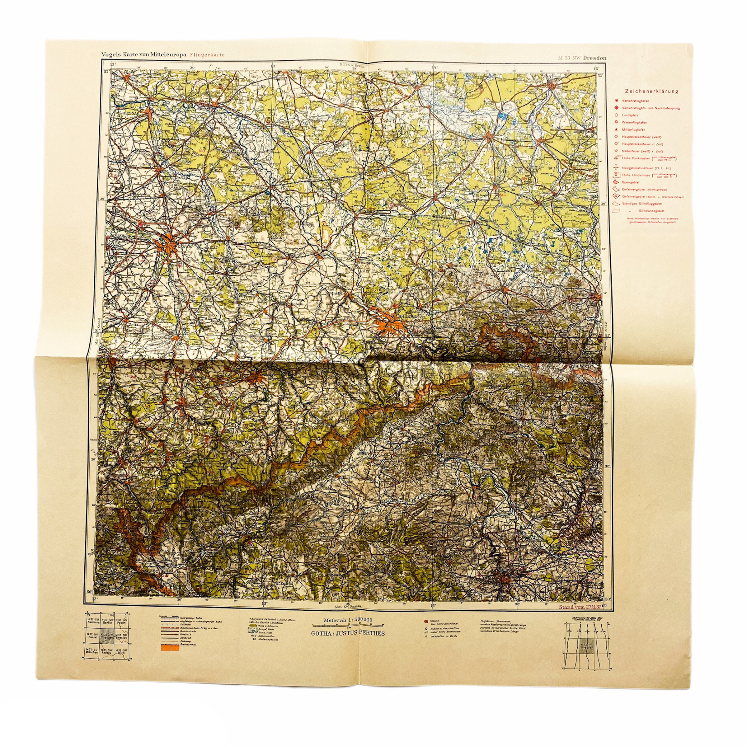

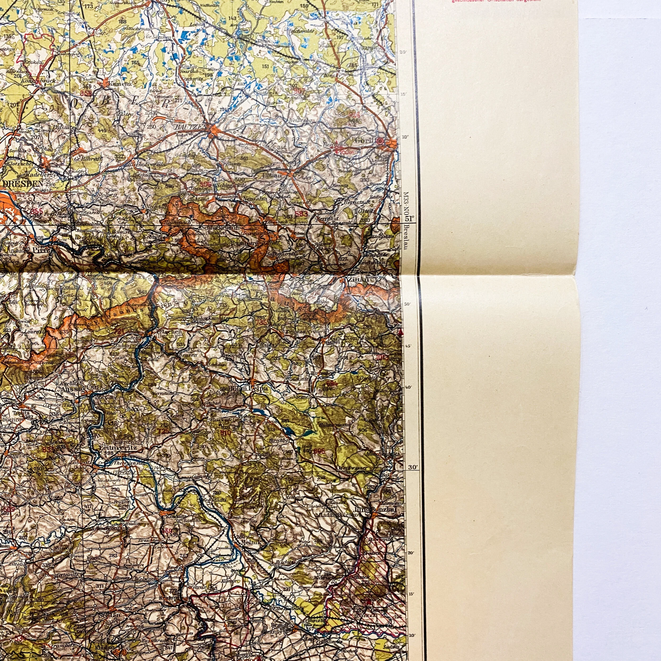
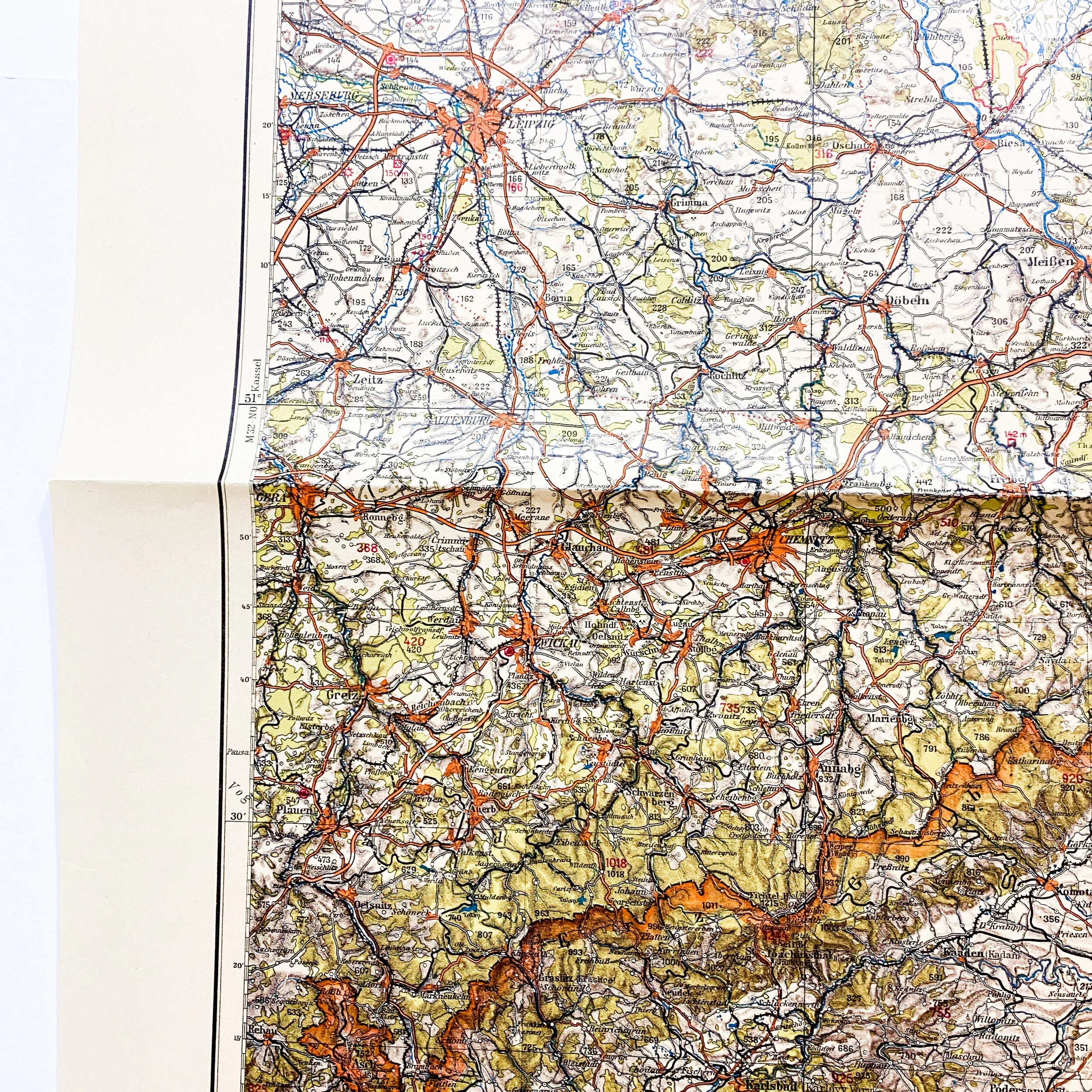


1938 Dated German "Dresden" Map - Major Center for Nazi Germany’s Rail and Road Networks
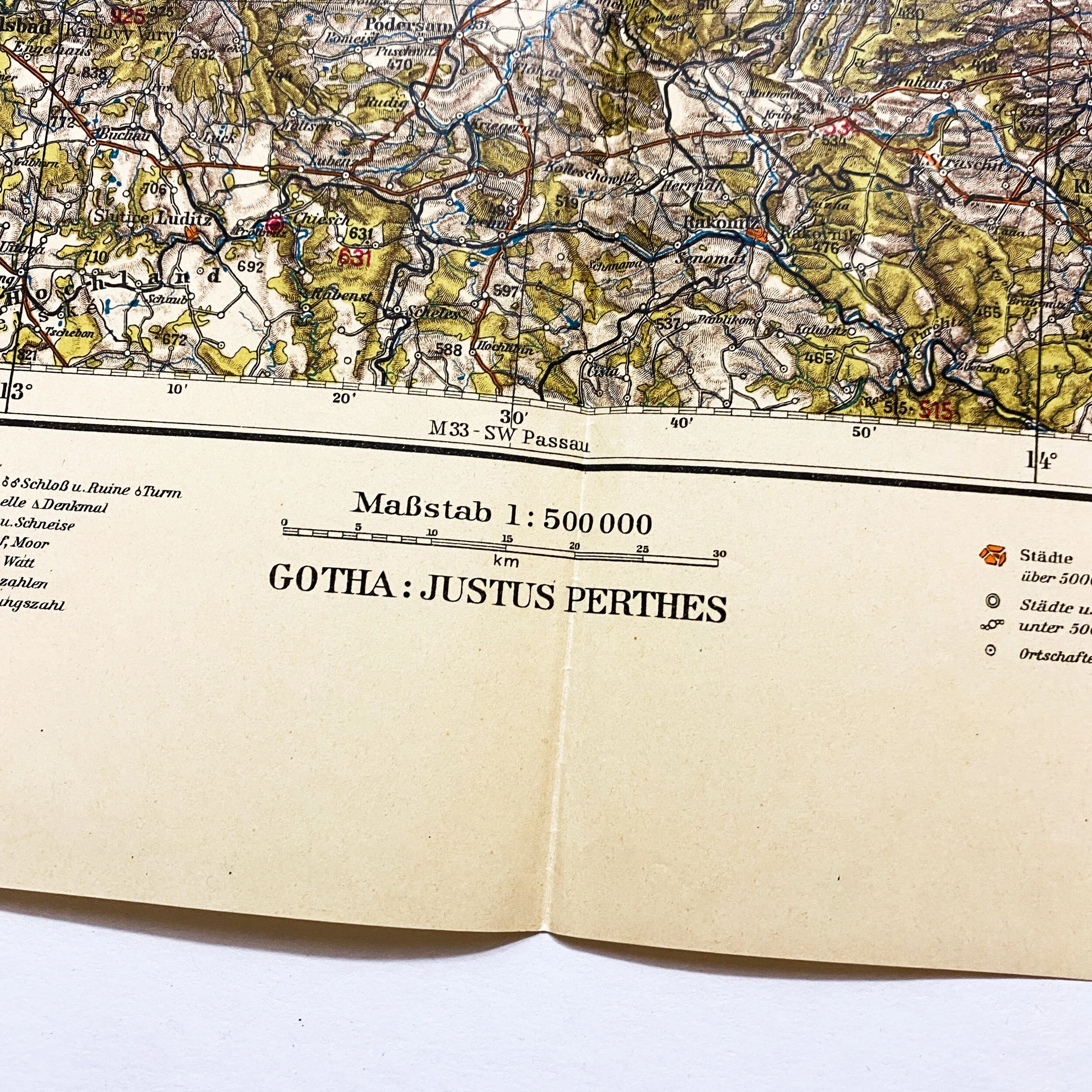
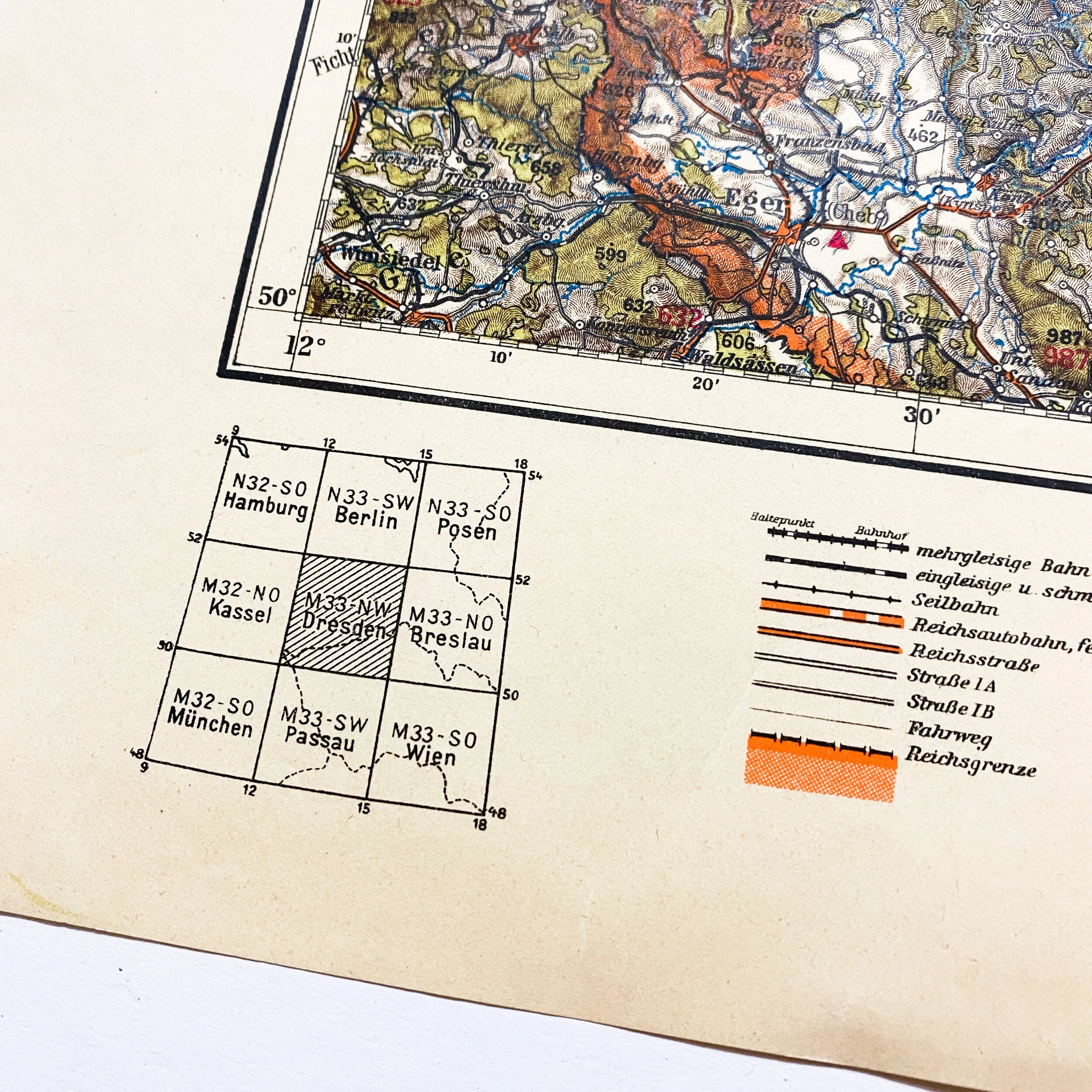
Size: 21.5 x 21.5 inches
This early war 1938 dated German infantry combat map is titled “Dresden”. As a major center for Nazi Germany’s rail and road network, Dresden’s destruction was intended to overwhelm German authorities and services and clog all transportation routes with throngs of refugees. The Allied assault came a less than a month after some 19,000 U.S. troops were killed in Germany's last-ditch offensive at the Battle of the Bulge, and three weeks after the grim discovery of the atrocities committed by Nazi forces at Auschwitz. The punishing, three-day Allied bombing attack on Dresden from February 13 to 15 in the final months of World War II became among the most controversial Allied actions of the war. The 800-bomber raid dropped some 2,700 tons of explosives and incendiaries and decimated the German city.
Based on the early war date, this map was used during the war extensively as this area saw extensive masses of German troops and supplies. During the was Dresden was a very important city for Hitler and the German Army as this geographical area saw much movement of German troops in the area.